


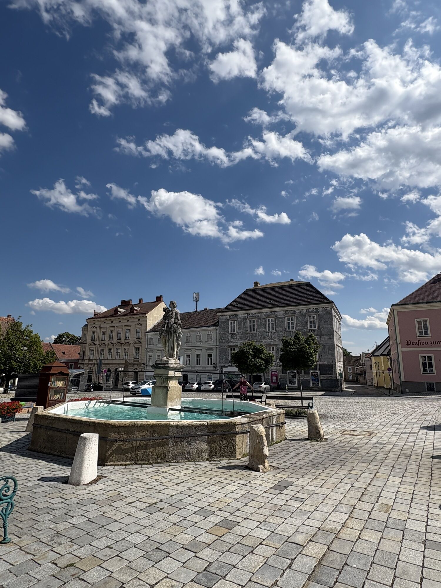
Cycle route 84 (Retz - Tulln)
Cycle route 84 starts in Retz at the town square and leads southwest to the picturesque wine villages Obermarkersdorf, Waitzendorf, Pulkau to Röschitz. The route continues south through Sitzendorf an der...
<p>Cycle route 84 starts in Retz at the town square and leads southwest to the picturesque wine villages Obermarkersdorf, Waitzendorf, Pulkau to Röschitz. The route continues south through Sitzendorf an der Schmida to Ziersdorf. Further south you reach Großweikersdorf in the Wagram region. The route continues through Hippersdorf and Stetteldorf and ends directly at the Danube bridge in Tulln on the Danube cycle path.</p>

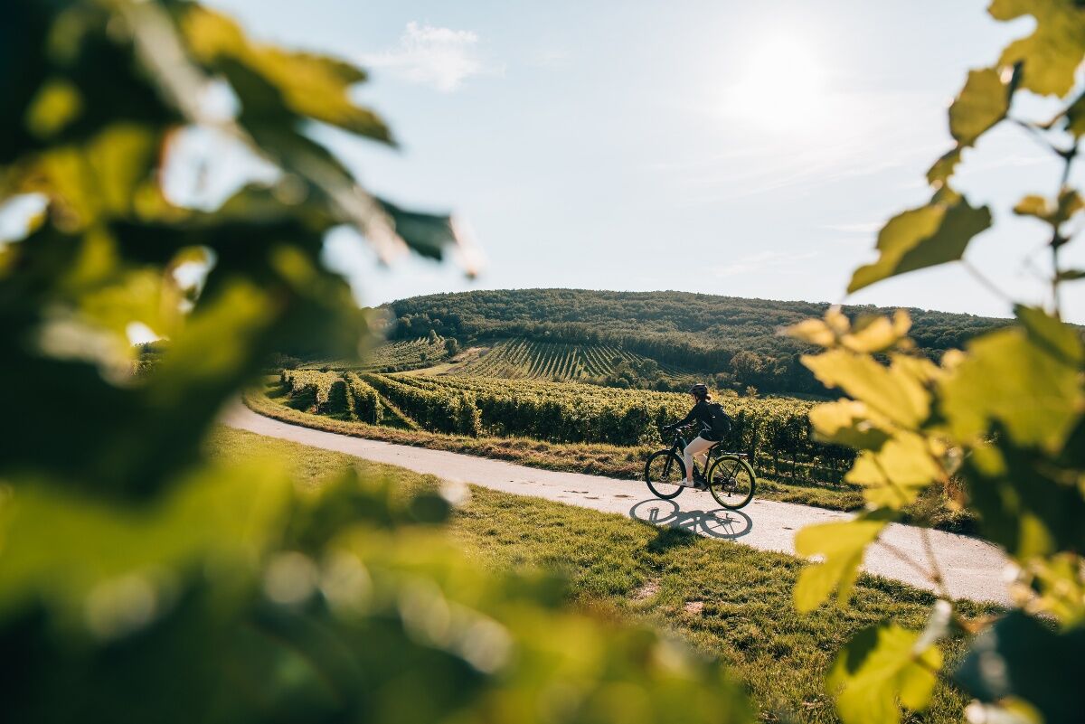
<p>Cycle route 84 runs along typical, lightly trafficked Weinviertel agricultural roads. It is mostly asphalted and passes by the train stations Retz, Ziersdorf, Großweikersdorf, and Tulln.</p>
<p>The route is suitable for any type of bike. From city bike, through gravel bike, to mountain bike. Gravel sections are less suitable for racing bikes.</p>
<p>From Vienna on the A22 to Stockerau, via Horner Straße to Retz. Via the S5 to Tulln</p>
<p>S-Bahn to Retz or to Tulln</p>
<p>Train station parking in Retz and Tulln</p>
In the Weinviertel there are over 100 cycle partner businesses that cater especially to the needs of cyclists. A list of all businesses can be found on our website. Using the filter function, you can conveniently display the businesses of the desired cycle route. Further filtering allows you to search for suitable accommodation or catering establishments.
The route is signposted in both directions, so it can also be ridden from Tulln to Retz. Along the way, countless wineries and Heurigen can be visited.
Popularne wycieczki w okolicy
-
4,8
Kellergassen-Tour
ciężkiJazda na rowerze 38,3 km -
4,0
Weinwanderweg Wetzdorf
światłoTrasa tematyczna 6,51 km -
3,8
W3 Löss-Tour
średniJazda na rowerze 38,6 km -
4,0
Rivaner-Radtour
Jazda na rowerze 54 km -
3,5
Stone & Wine
średniWędrówka 10,8 km -
4,8
Von Mühlbach am Manhartsberg zur Krotenmühle
światłoWędrówka 3,17 km -
Zum Gipfel des Manhartsbergs
światłoWędrówka 17,6 km -
5,0
Eggenburg und Kogelsteine
światłoWędrówka 8,25 km -
3,0
»tut gut« Wanderweg Breitenwaida | Route 2
średniWędrówka 10,2 km -
4,5
Bergrunde
średniWędrówka 5,18 km
Wędrówki i tropienie


Nie przegap ofert i inspiracji na następne wakacje
Twój adres e-mail została dodana do listy mailingowej.