







Water Landscape Cycle Route
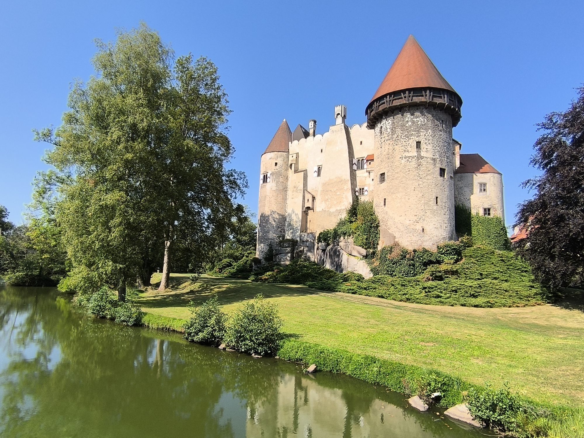
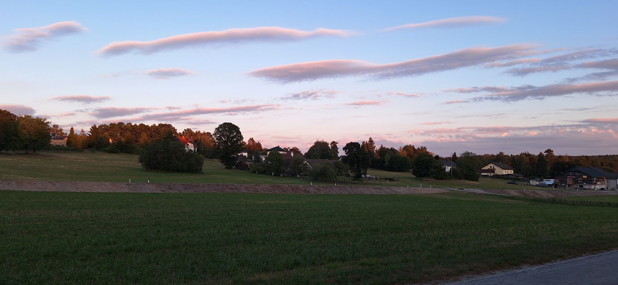
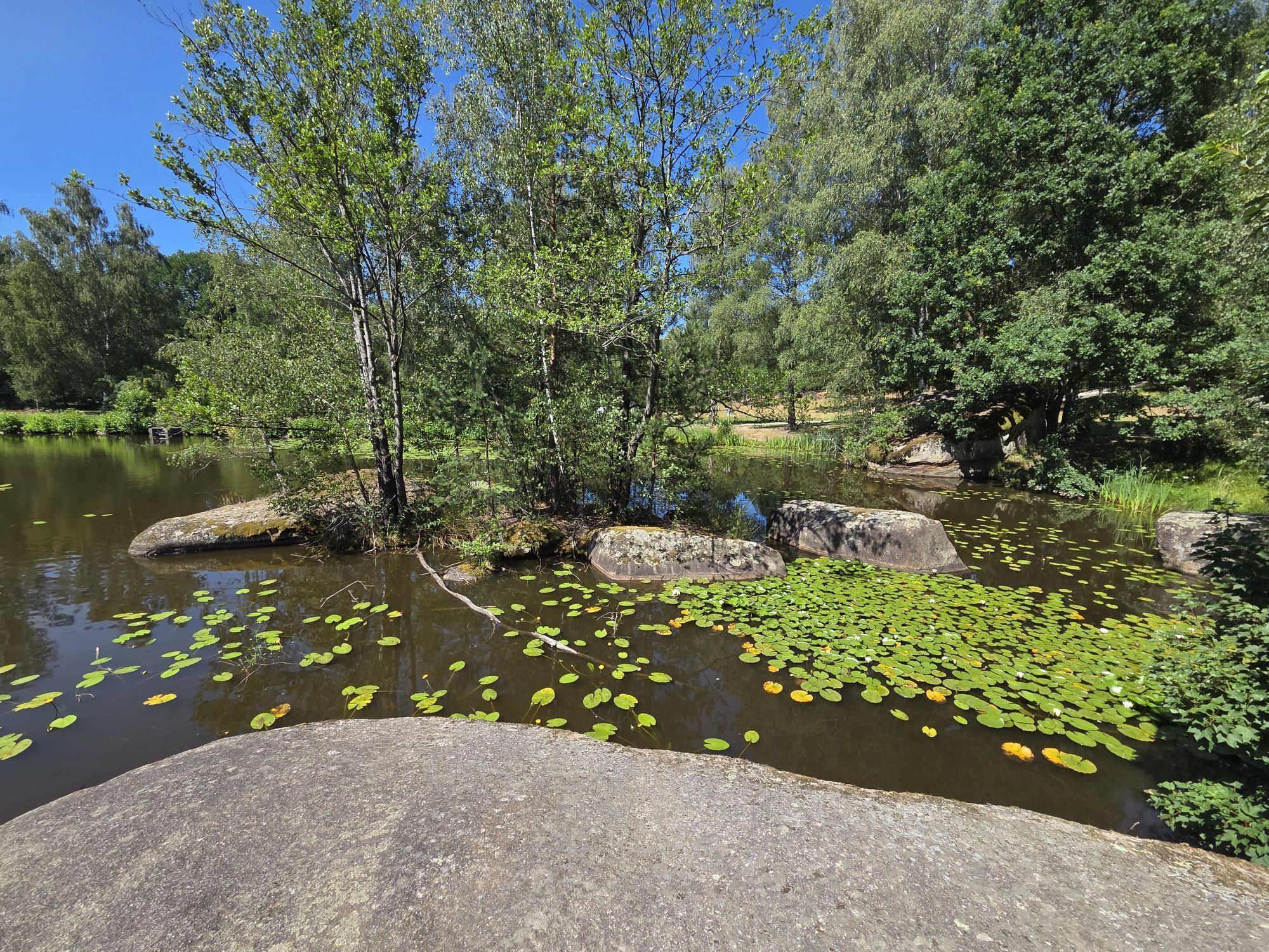
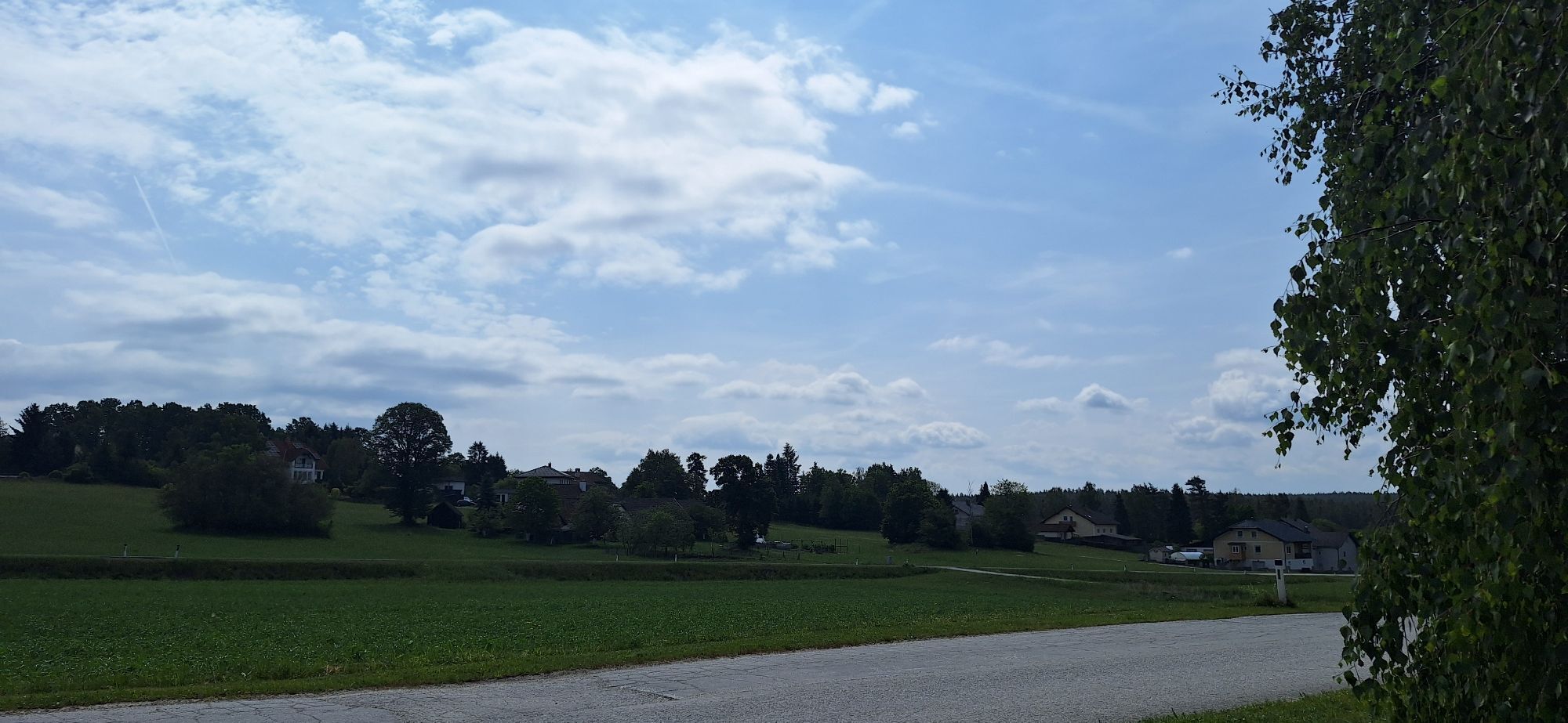
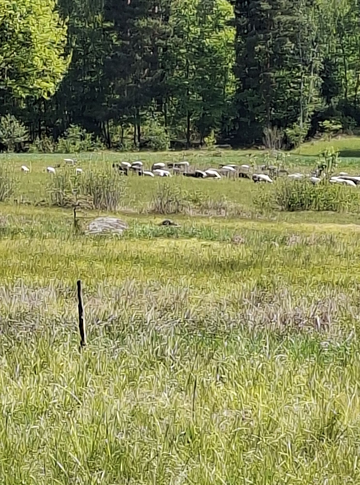
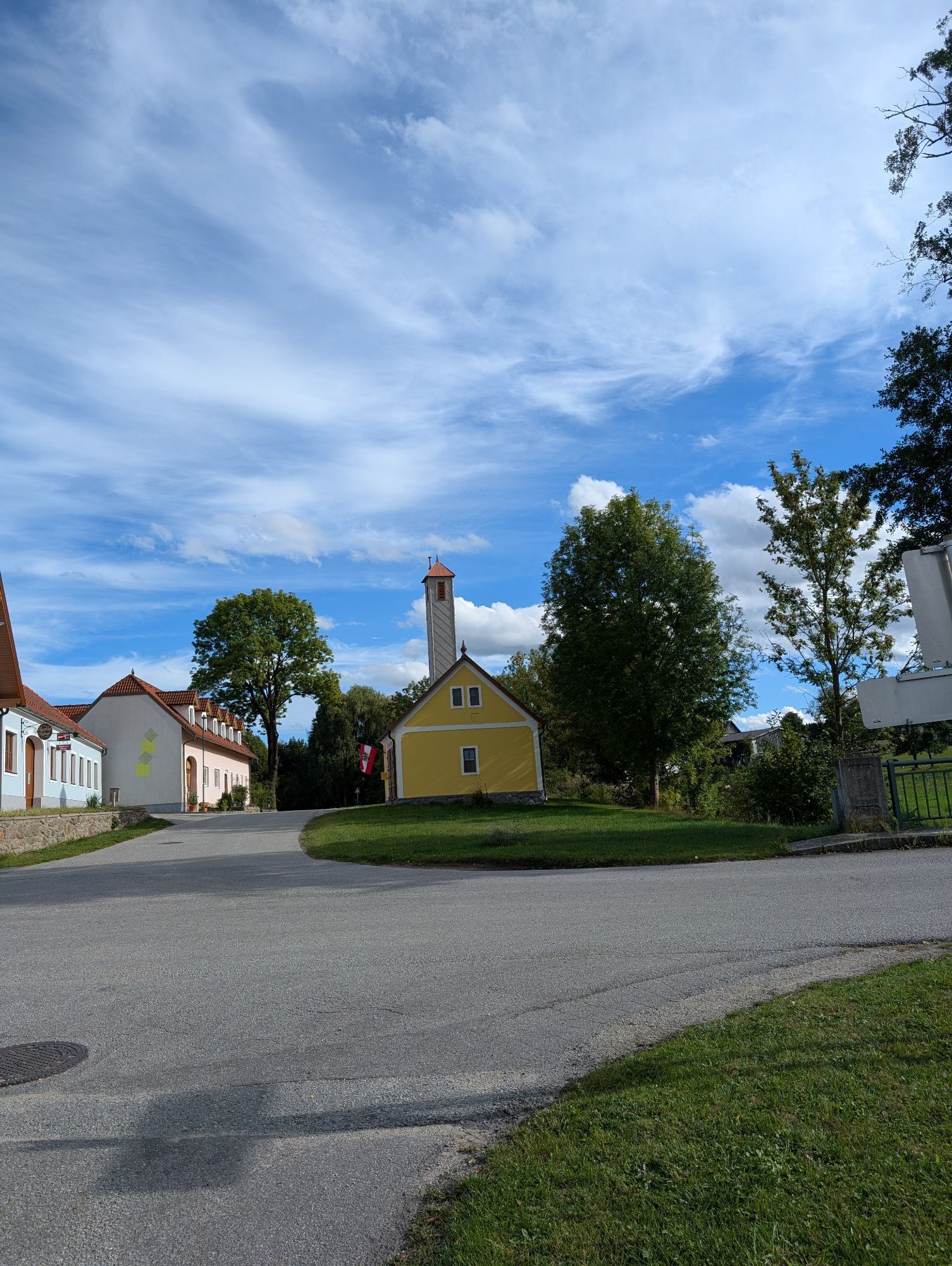
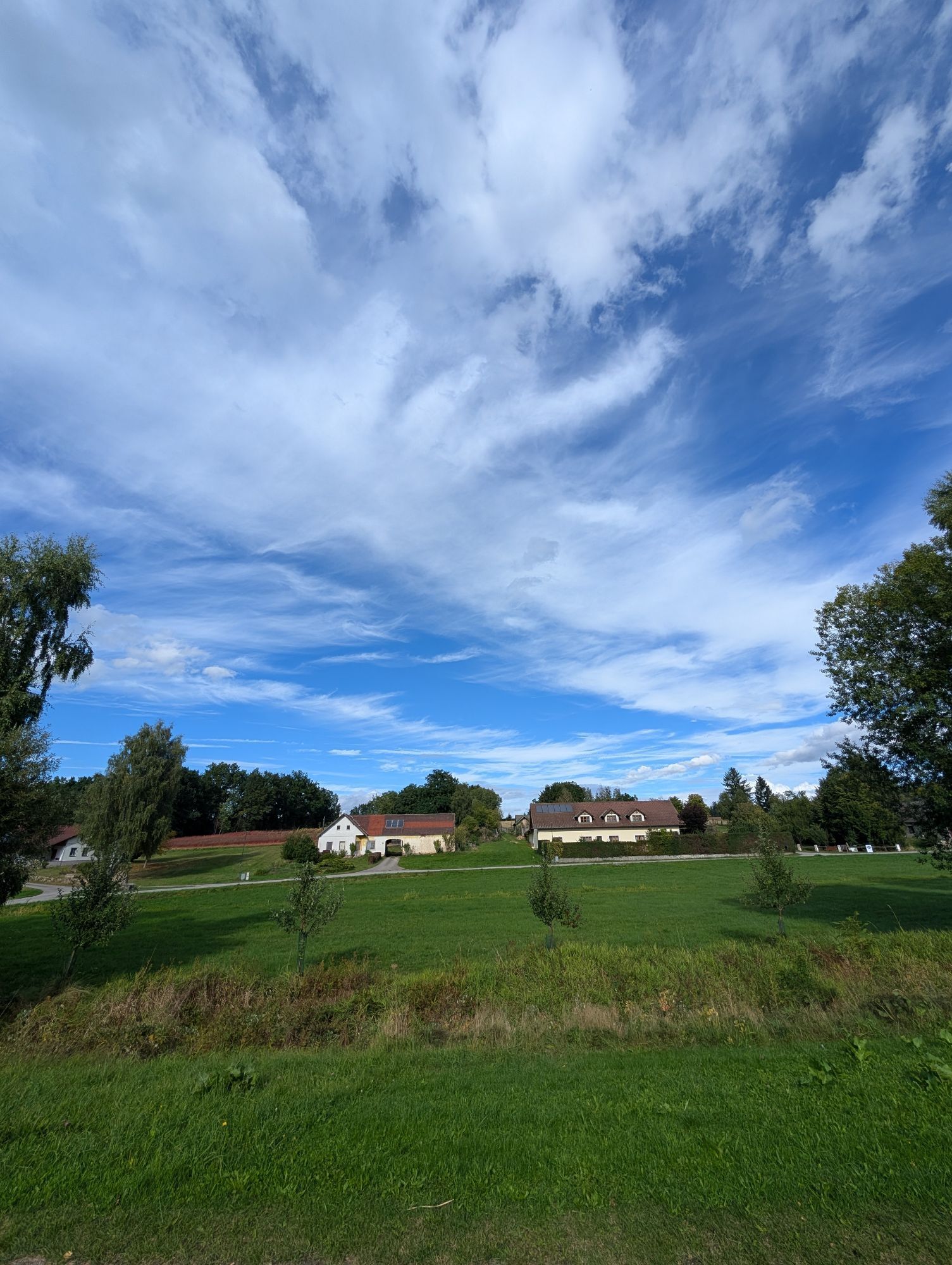
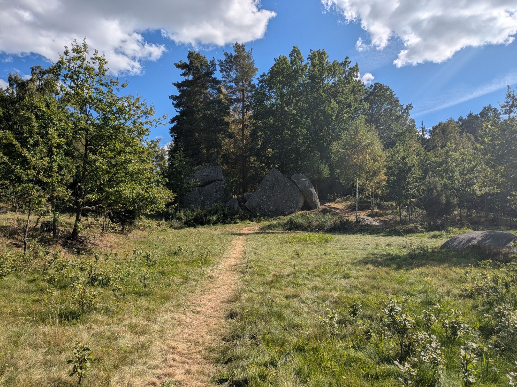
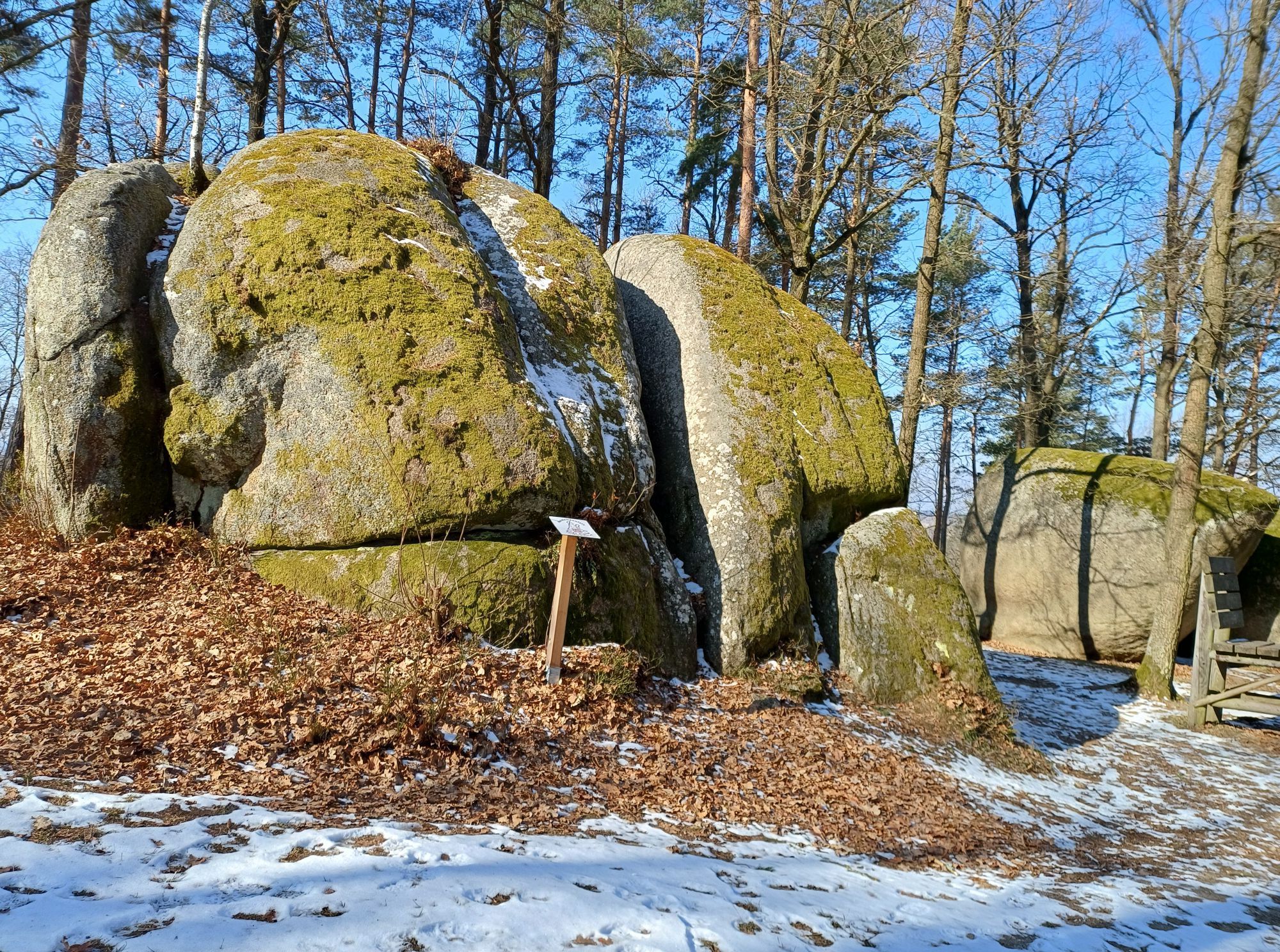
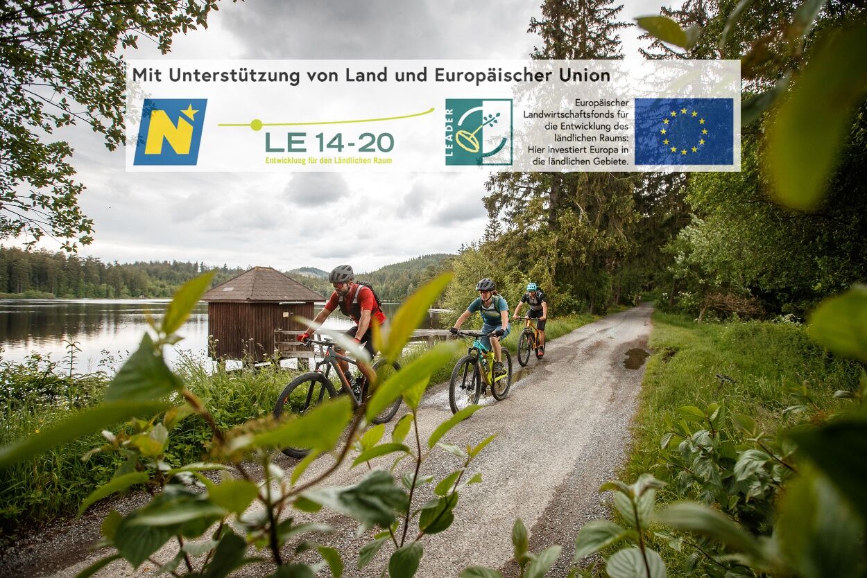
In the Upper Waldviertel, between numerous ponds, dense forests and colorful flower meadows, runs the Water Landscape Cycle Route. Right at the start of the cycling route it becomes clear: numerous adventures...
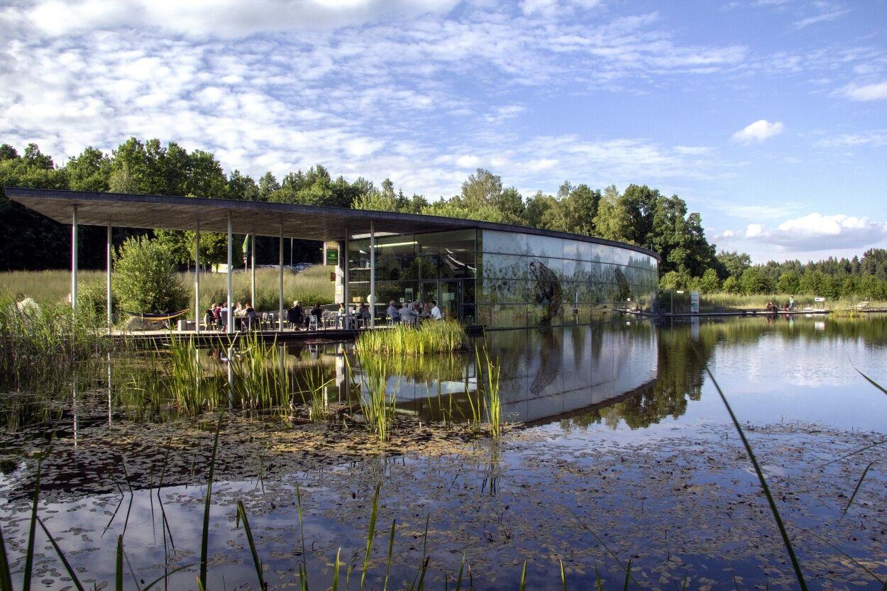
<p>In the Upper Waldviertel, between numerous ponds, dense forests and colorful flower meadows, runs the Water Landscape Cycle Route. Right at the start of the cycling route it becomes clear: numerous adventures await knowledge-thirsty explorers – from the very beginning! The starting point of the route is in Schrems at the main square/church square. An absolute highlight in Schrems is the UnterWasserReich, which amazes young and old and is located 1.3 km off the route. Along the rest of the route, exciting stops keep appearing waiting to be discovered. For example, the World of Cheese Makers in Heidenreichstein, the colorful Burger Glass Atelier and the Sole Rock Bath in Gmünd, or the graduation tower Waldenstein. Up to the last possible stop at the Waldviertler Hoftheater, the Water Landscape Cycle Route convinces with unique experiences to take away. Following the motto: right in the middle instead of just being there!</p><p>Bikers especially like to use the nostalgic Waldviertel railway to explore the popular Water Landscape Cycle Route. After cycling a part of the Waldviertel, you can always switch back to the Waldviertel railway (between Gmünd and Litschau) and travel one stage by train to comfortably enjoy the view. You don't have to worry about transporting your bike: your bike travels free of charge.</p>

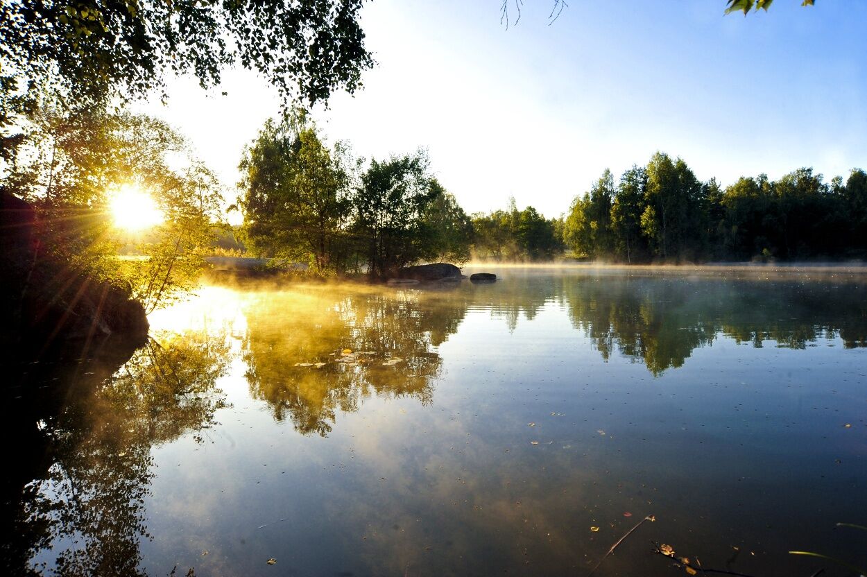
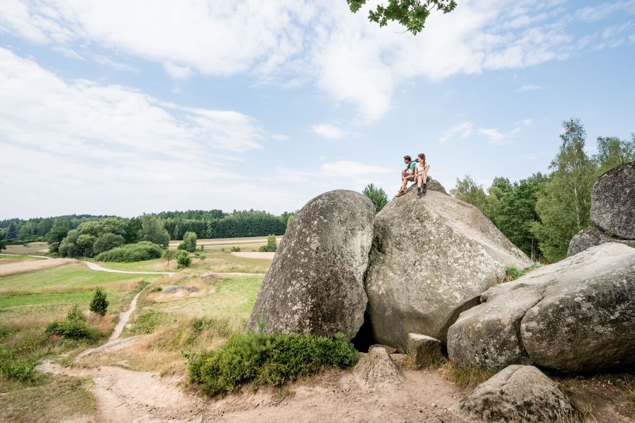

<p>Schrems (Main Square / Church Square) - Amaliendorf - Heidenreichstein - Thaures - Brand - Gmünd - Kirchberg am Walde - Hirschbach - Pürbach - Schrems (Main Square / Church Square)</p><p>The Water Landscape Cycle Route is a circular route with start and finish at the main square/church square in the Upper Waldviertel. The cycle route initially runs from Schrems via Amaliendorf to Heidenreichstein, before making a detour to Brand-Nagelberg and Gmünd. From there, it continues by bike to Waldenstein, Kirchberg am Walde and Hirschbach – and finally back to Schrems.</p><p>Although the Water Landscape Cycle Route with its approx. 85 kilometers is only recommended as a day route for experienced cyclists, it is also optimally suitable for leisure cyclists in stages. Numerous inns along the route invite you to take culinary breaks. Thanks to the possibility to divide the route into individual sections, the bike adventure can be designed freely according to individual preferences.</p>
<p>Vienna - A22 to Stockerau - on the B4 to Horn - on the B2 via Vitis to Schrems</p><p>Linz - A7 to Unterweitersdorf - on the S10 to Sandl exit - via the B38 to Karlstift then on the B41 to Schrems</p>
<p>All information about all bus and train lines to the Waldviertel can be found at <a href="www.vor.at/">www.vor.at</a... or at <a href="www.oebb.at/">www.oebb.at<...
<p>For long-term parking, public parking lots are available in Pfarrgasse, Josef-Widy-Straße, and Dr.-Karl-Renner-Straße.</p>
Waldviertel Tourism
3910 Zwettl, Sparkassenplatz 1/2/2
(T) +43 2822 54109
(E) info@waldviertel.at
(I) www.waldviertel.at
Popularne wycieczki w okolicy
-
4,5
Mandelstein von Moorbad aus
światłoWędrówka 9,47 km -
4,9
Mandlstein Heinrichs bei Weitra Erlebnisweg
światłoWędrówka 13,1 km -
4,9
Mythologieweg Blockheide
światłoWędrówka 4,96 km -
4,2
Blockheiderunde
światłoWędrówka 6 km -
4,7
Rundweg Gabrielental-Reinprechts-Brühl-Gabrielental, Nr. 31
średniWędrówka 11,4 km -
4,6
Gemeinde Heidenreichstein - Winkelauer Berg - Seyfrieds
światłoWędrówka 7,24 km -
4,0
Gmünd Blockheide
światłoTrasa tematyczna 8,18 km -
4,5
Gmünd: Blockheide mit Wackelsteinen
światłoWędrówka 8,14 km -
Naturlehrpfad Heidenreichsteiner Moor
światłoWędrówka 4,56 km -
3,7
Xunde Runde
światłoWędrówka 7,41 km
Wędrówki i tropienie


Nie przegap ofert i inspiracji na następne wakacje
Twój adres e-mail została dodana do listy mailingowej.





