






Kirchberg Gmoarunde
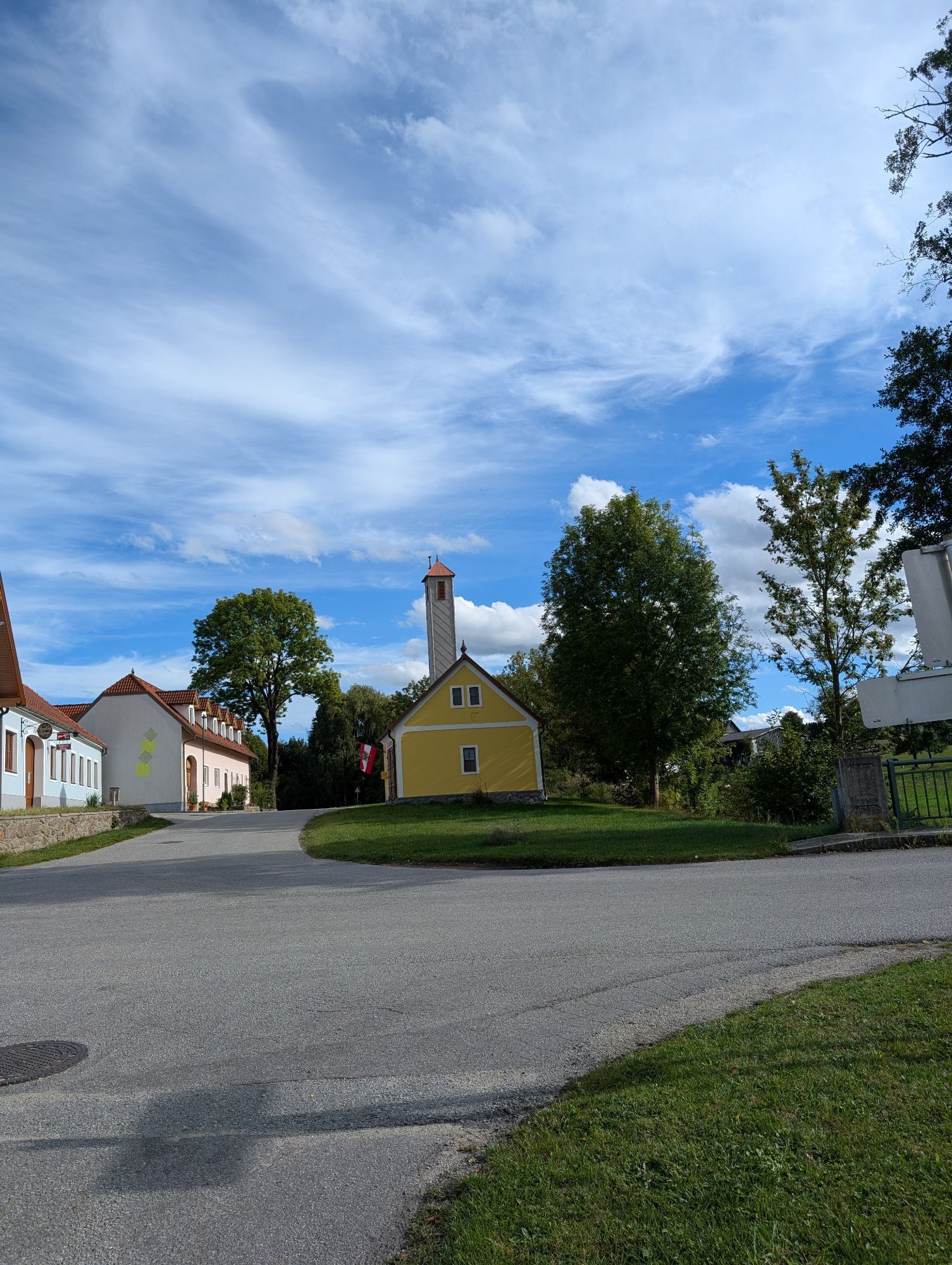
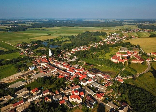
65% of the route consists of secondary roads, 25% farm roads, and 10% field paths. Along the route, there are wonderful views of the Waldviertel region that everyone can and should discover for themselves...
<p>65% of the route consists of secondary roads, 25% farm roads, and 10% field paths. Along the route, there are wonderful views of the Waldviertel region that everyone can and should discover for themselves (e.g., on the Hinterhaus farm road Weissenalbern - distant views of Kirchberg, Langschwarza church, etc.).</p><p>50% of the route consists of secondary roads, 25% farm roads, and 25% field paths. Along the route, there are wonderful views of the Waldviertel region that everyone can and should discover for themselves (e.g., on the Hinterhaus farm road Weissenalbern - distant views of Kirchberg, Langschwarza church, etc.).</p>


<p>Kirchberg - Weissenalbern (turn right in the town center, "Hinterhaus" farm road to the road to Grünbach, farm road to the road towards Schweiggers) - Windhof (farm road) - Sallingstadt - Limbach - Süssenbach - Hollenstein (turn right after leaving town onto the farm road "Roasweg") - Fromberg (via field path) - Ullrichs - Gr. Höbarten - Kirchberg</p><p>Details:</p><p>The bike route starts at the main square of Kirchberg, where it goes on the state road towards Weissenalbern. In the town center, the farm road "Hinterhaus" goes uphill, where at the EVN water reservoir the highest point of the bike round is reached (magnificent view towards Nebelstein / Czech Republic etc.).</p><p>Across the road to the next farm road onto the state road towards Schweiggers.</p><p>After the forest, turn left to Windhof, where the farm road straight ahead continues towards Sallingstadt.</p><p>From there it continues on the state road to Limbach (chapel), then on towards Süssenbach. Before Süssenbach, then turn right on the farm road "Süssenbach Süd" into the village.</p><p>Then it goes on the state road to Hollenstein.</p><p>After leaving Hollenstein, turn right onto the "Roasweg" farm road towards Fromberg.</p><p>From Fromberg via a field path to Ullrichs.</p><p>In Ullrichs, continue on the state road towards Groß Höbarten.</p><p>From Groß Höbarten on the state road to Kirchberg, shortly before the town entrance turn right onto the farm road and then (passing by the stud farm) follow the path back to the starting point (main square) of the bike round.</p>
<p>We recommend wearing a bike helmet. Wear appropriate clothing and sturdy shoes. Think of rain and sun protection. Also bring enough to drink.</p>
<p>Signage only in one direction</p>
<p>Vienna - Krems - Zwettl - Kirchberg</p><p>Linz - Freistadt - Gmünd - Kirchberg</p>
<p>Main square</p>
Market Town Kirchberg am Walde
3932 Kirchberg am Walde, Kirchberg am Walde 7
(T) +43 2854 7010
(E) gemeinde@kirchbergamwalde.at
(I) www.kirchbergamwalde.at
Waldviertel Tourism
3910 Zwettl, Sparkassenplatz 1/2/2
(T) +43 2822 54109
(E) info@waldviertel.at
(I) www.waldviertel.at
- Connection to Thayatal and Wasserland bike routes in the route profile
– more information on the municipality homepage or on the GEM2GO App
Popularne wycieczki w okolicy
- 4,4
Teiche-Radroute (Strecke 2020) Niederösterreich
średniJazda na rowerze 48,7 km - 4,8
Mythologieweg Blockheide
światłoWędrówka 4,96 km - 3,8
Blockheiderunde
światłoWędrówka 6 km - 4,0
Gmünd Blockheide
światłoTrasa tematyczna 8,18 km - 4,5
Gmünd: Blockheide mit Wackelsteinen
światłoWędrówka 8,14 km - 3,7
Xunde Runde
światłoWędrówka 7,41 km TiWaLi - Kleineibenstein, Österreich
światłoWędrówka 10,5 kmBernhardiweg in the Waldviertel
średniTrasa pielgrzymki 124,5 km- 5,0
Rundfahrt GD-Schrems
średniMountainbike 25,8 km Schweigginger Ursprungsrunde
średniJazda na rowerze 44,7 km
Wędrówki i tropienie


Nie przegap ofert i inspiracji na następne wakacje
Twój adres e-mail została dodana do listy mailingowej.





