






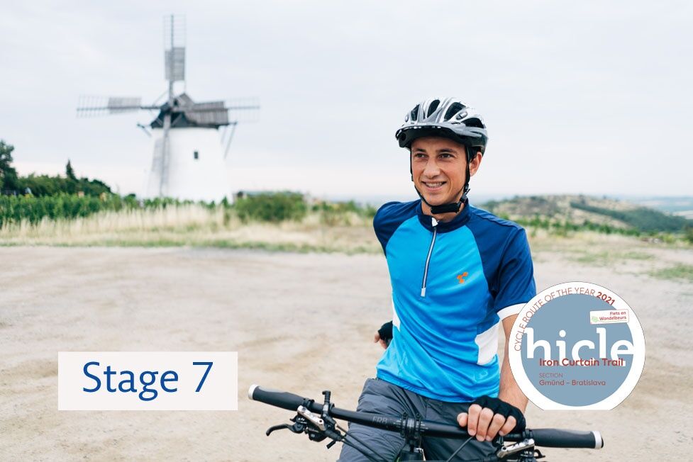
EV13 Stage 7: Retz - Laa
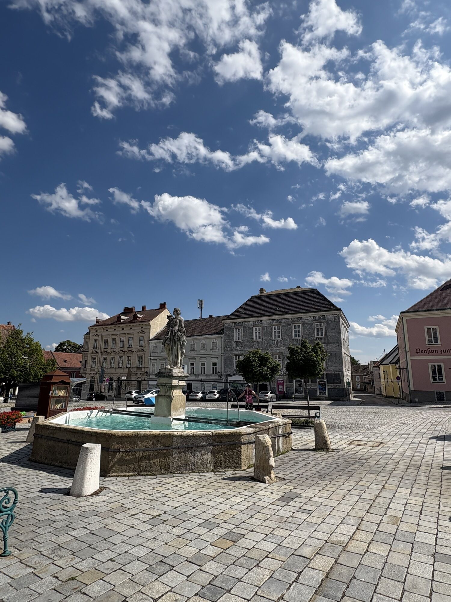
From the picturesque town of Retz you will enjoy a comfortable ride through the Pulkava River Valley up to Hadres. At 1.6 kilometres long, Hadres is the longest cellar lane in Central Europe. You will...
<p>From the picturesque town of Retz you will enjoy a comfortable ride through the Pulkava River Valley up to Hadres. At 1.6 kilometres long, Hadres is the longest cellar lane in Central Europe. You will pass through Seefeld-Kadolz to the Czech side, followed by Jaroslavice (castle) and past what is the third largest pond in Moravia, and then on to Hevlín and the town of Laa an der Thaya. Laa is famous for its water castle but mainly for its thermal spa where visitors can relax.
</p><p>The Pulkava River Valley will comfortably take you to the village of Hadres – the longest cellar lane in Central Europe – and through the Weinviertel region, famous for its countless cellar lanes where wine was produced in the past. The Pulkava River Valley also served as a model for the “Wiesbachtal” in Austrian writer Alfred Komarek’s crime novels. Through Seefeld-Kadolz, where you can visit a Baroque château, you will arrive at Jaroslavice on the Czech side. In Jaroslavice you can visit the local Baroque château from the 16th century or you can make a trip to the village of Slup, where the largest historical water mill in South Moravia can be found. From Jaroslavice you will continue past the Jaroslavice ponds, one of the largest bird reserves in Moravia, and the former military road – “the signal road” – will take you from Hevlín to the town of Laa an der Thaya, where you can relax in the thermal spa or in the outdoor swimming pool.</p>

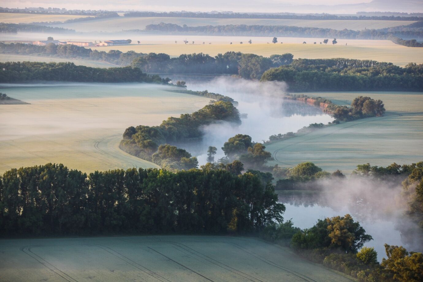

<p>When you say goodbye to the town of Retz, you can expect a flat, undemanding section of the route, which leads through the wide Pulkau valley, known for its cellar lanes and for serving as a setting for the crime novels of Austrian writer Alfred Komarek. From the village of Seefeld-Kadolz with its Baroque castle you will go uphill to the border crossing and then down again to the village of Jaroslavice. Above the village there is an impressive Renaissance-era château rebuilt in Baroque style. A four-kilometre detour will take you from Jaroslavice to the neighbouring village of Slup, where the largest late-Renaissance water mill in South Moravia is located. It has four functional water wheels and a mill drive. The village of Jaroslavice is followed by the Jaroslavice ponds, which are one of the largest wetlands in Moravia. Its 357 hectares were declared a bird area within the Natura 2000 network. The route between Dyjákovice and Hevlín runs mainly on former military roads. The route continues straight to Laa an der Thaya, famous for its water castle but mainly for its thermal spa.</p>
<p>Bitte den Reisepass nicht vergessen!</p>
Verantwortlicher für den Inhalt dieser Tour
Weinviertel Tourismus GmbH
Letzte Aktualisierung: 13.11.2025
Erfahren Sie mehr über die Krimireihe von Inspektor Polt und erkunden Sie die Drehorte per Rad. Auf den Spuren von Polt
Therme Laa in Laa/Thaya
The remarkable Renaissance-era mill in the village of Slup with four functional water wheels and a mill drive is definitely worth a visit.
Uzyskaj wgląd
Zawsze na żywo z ponad 9 500 kamer internetowych. bergfex Jako użytkownik Pro, możesz teraz zobaczyć odpowiednie kamery internetowe dla wielu wycieczek w aplikacji wycieczki od. Pozwala to na bezpośredni podgląd aktualnych warunków.
Popularne wycieczki w okolicy
-
3,5
Portugieser-Radtour
Jazda na rowerze 67 km -
2,6
Chardonnay-Radtour
Jazda na rowerze 33,5 km -
4,8
Naturerlebnis Blumenberge Weinviertel
średniJazda na rowerze 29,6 km -
4,0
Retzbach Dowsing Rod Path cross-border
średniWędrówka 19,0 km -
5,0
Unterretzbach Marterl Hiking Trail
średniWędrówka 13,6 km -
Naturjuwelenradweg Modifiziert
średniJazda na rowerze 61,5 km -
Watzelsdorfer Wasserwelt-Weg
światłoWędrówka 5,09 km -
2,0
Martiniweg Wullersdorfer Land
światłoTrasa tematyczna 7,31 km -
4,0
Weinwanderweg Hochlüssen, Mailberg, Niederösterreich
światłoWędrówka 3,38 km -
Weinwanderweg Hundschupfen, Mailberg
światłoWędrówka 2,44 km

Wędrówki i tropienie


Nie przegap ofert i inspiracji na następne wakacje
Twój adres e-mail została dodana do listy mailingowej.





