


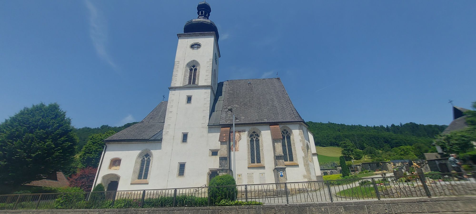
To Saint Sebaldus
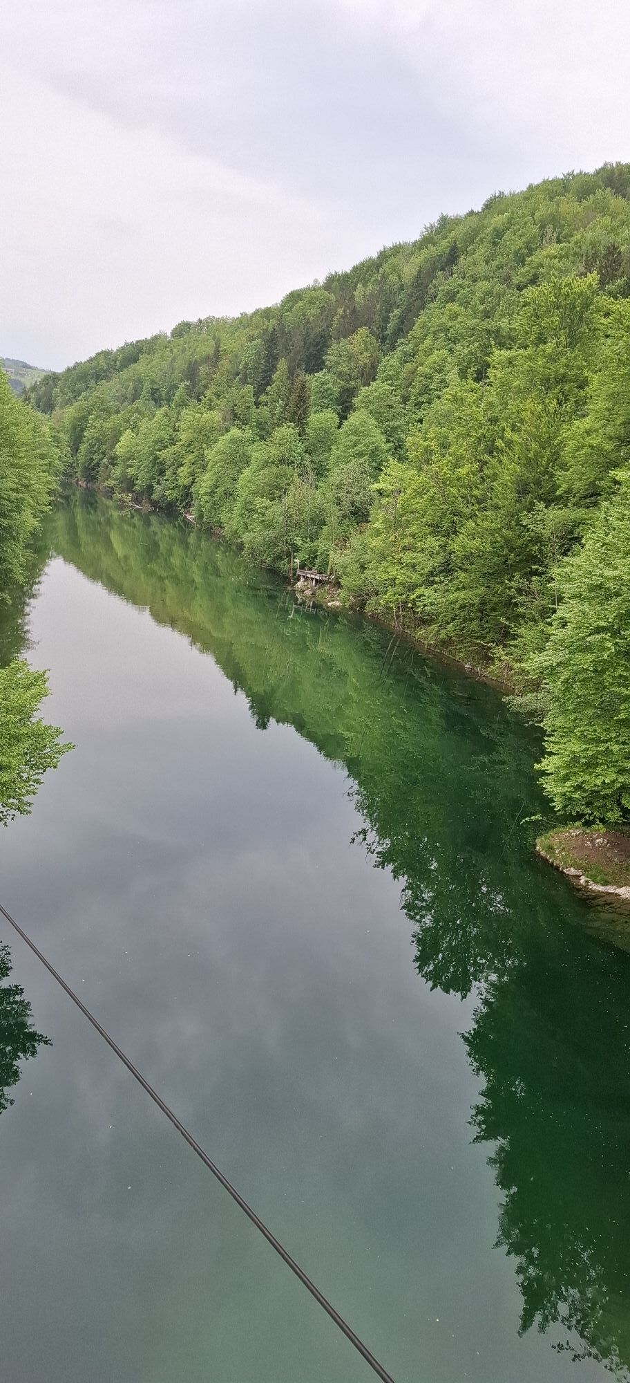
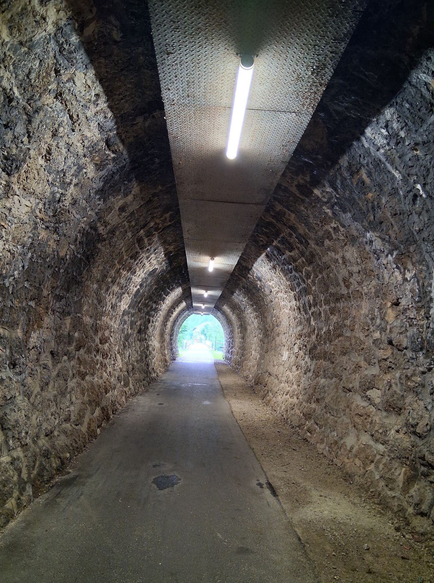
The tour starts comfortably on the Ybbstal cycle path upstream to Klein-Hollenstein. Turn right here and take a very rhythmic (approx. 5%) climb up to the Saurüssel to the Upper Austrian border. The easy...
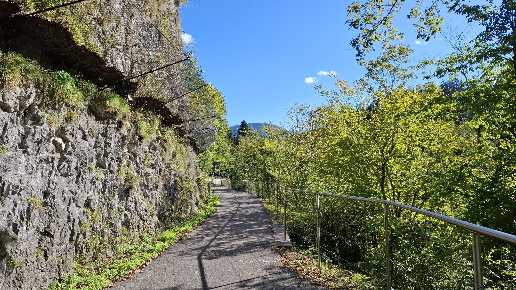
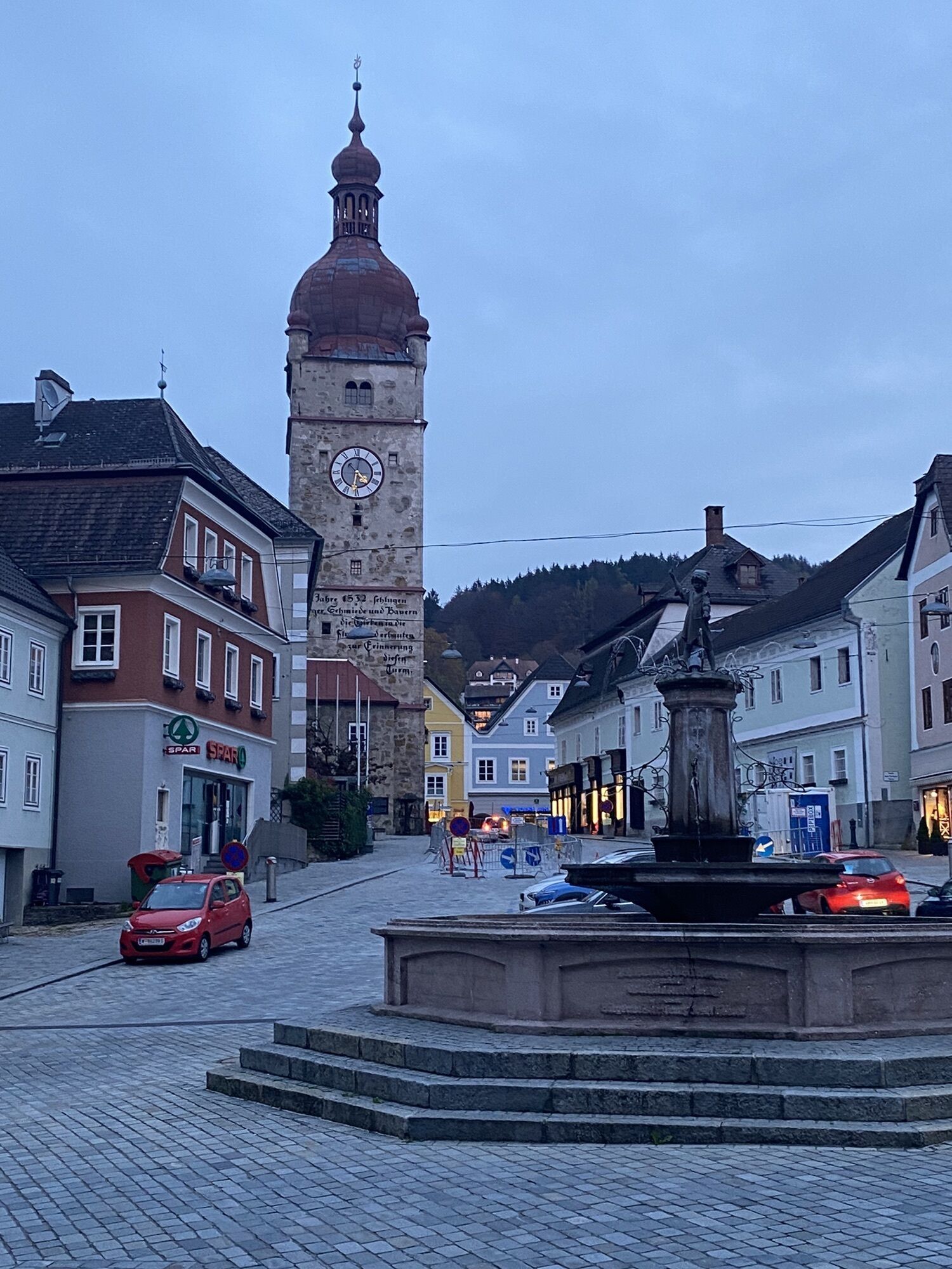
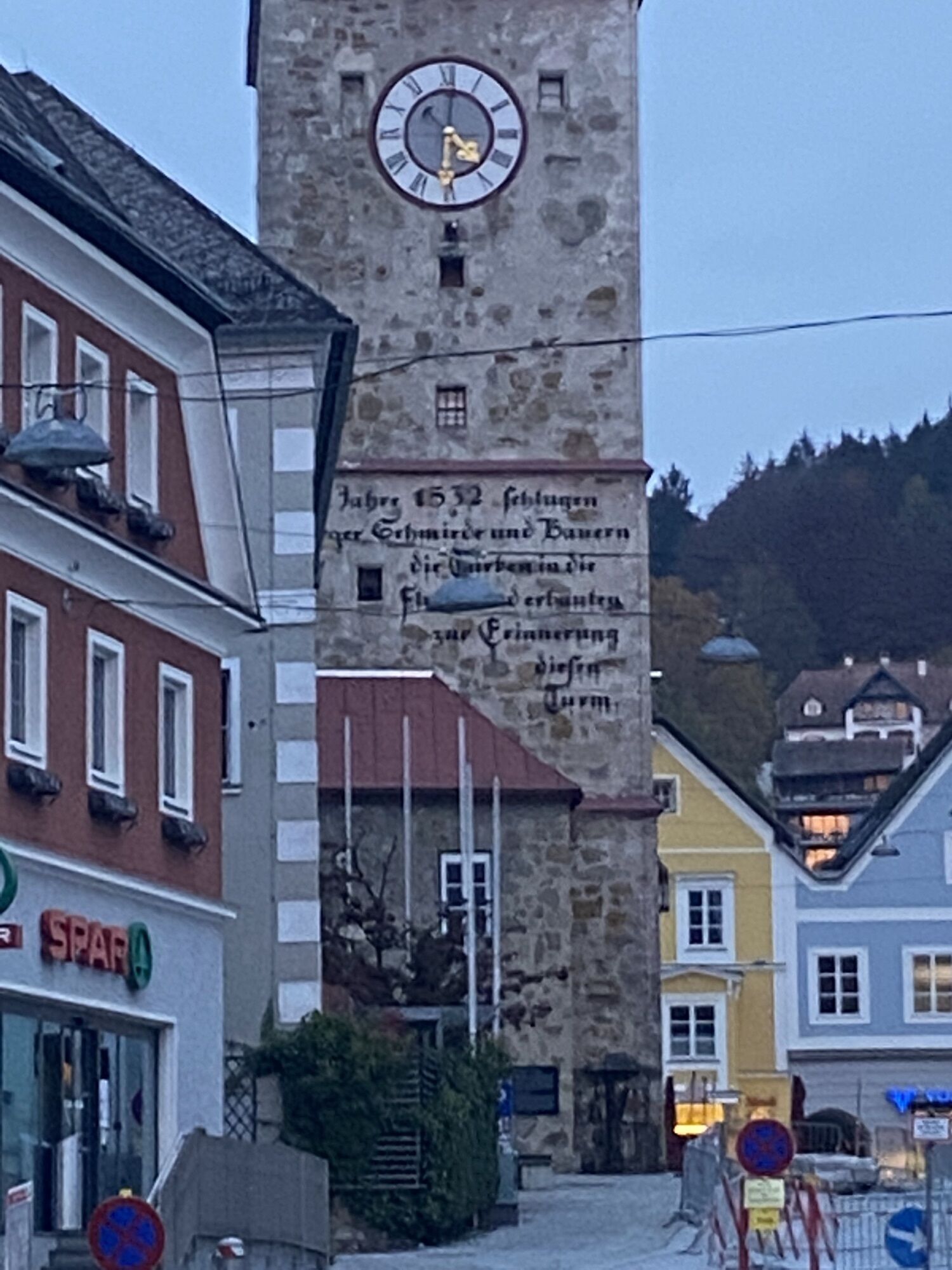
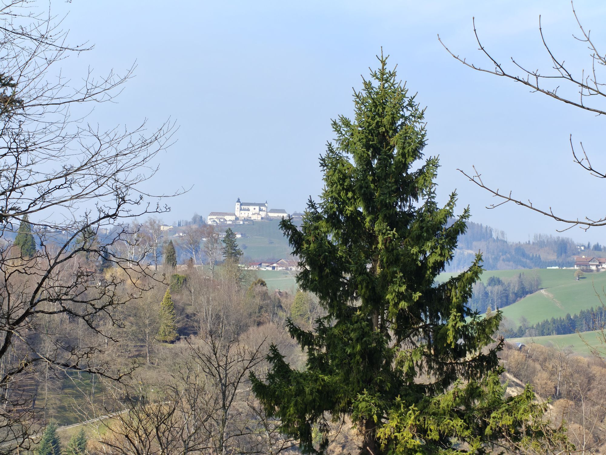
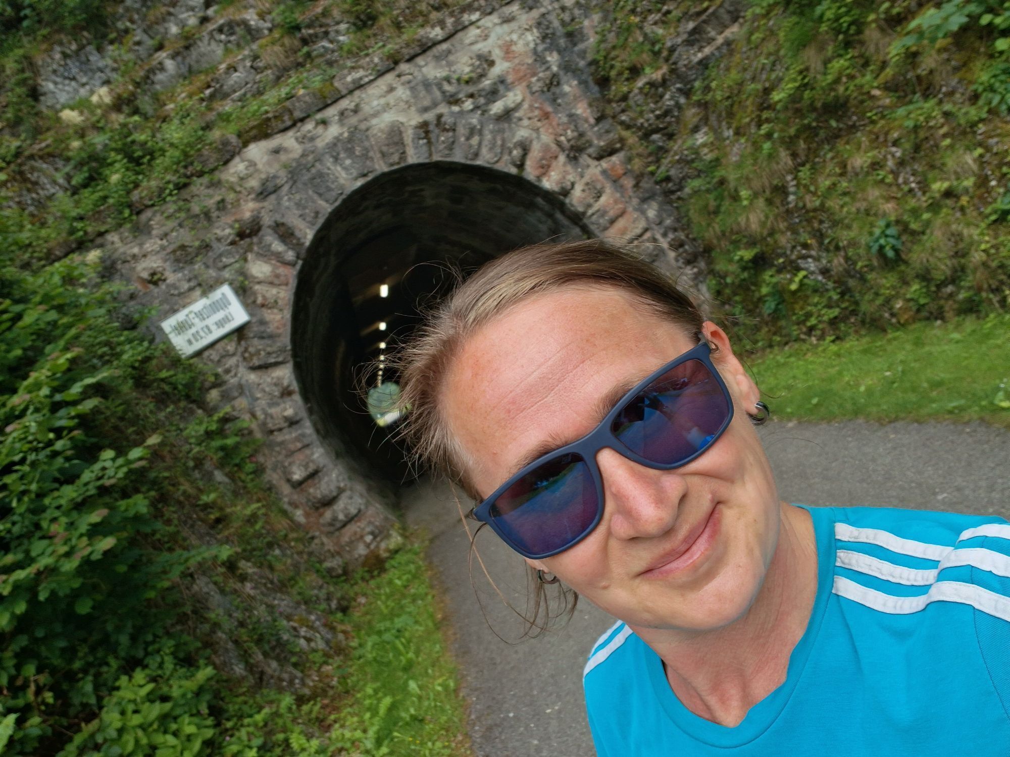
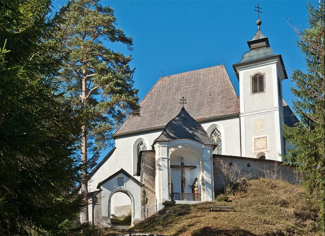
The tour starts comfortably on the Ybbstal cycle path upstream to Klein-Hollenstein. Turn right here and take a very rhythmic (approx. 5%) climb up to the Saurüssel to the Upper Austrian border. The easy descent ends at the beginning of Weyer, where after an S-bend you take a sharp right (watch out!) towards Breitenau. The narrow road leads back along the ditch, where it climbs for another 1km at around 10% until you reach a small plateau. Here you have the option of turning left and cycling to the Sebalduskirche church on the Heiligenstein (note: very steep climb, on gravel at the end).
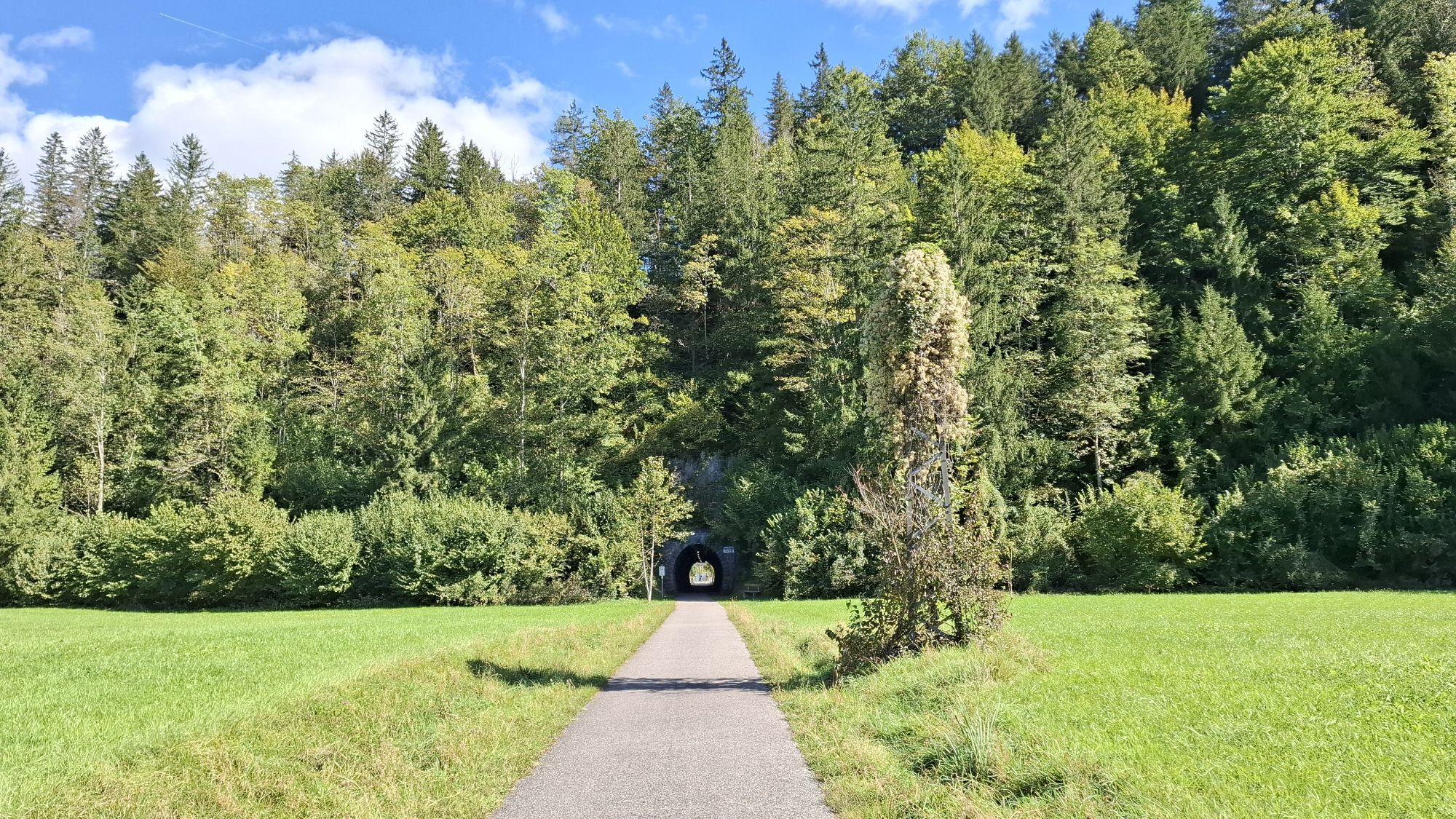
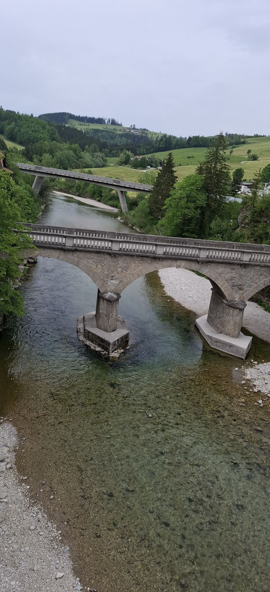
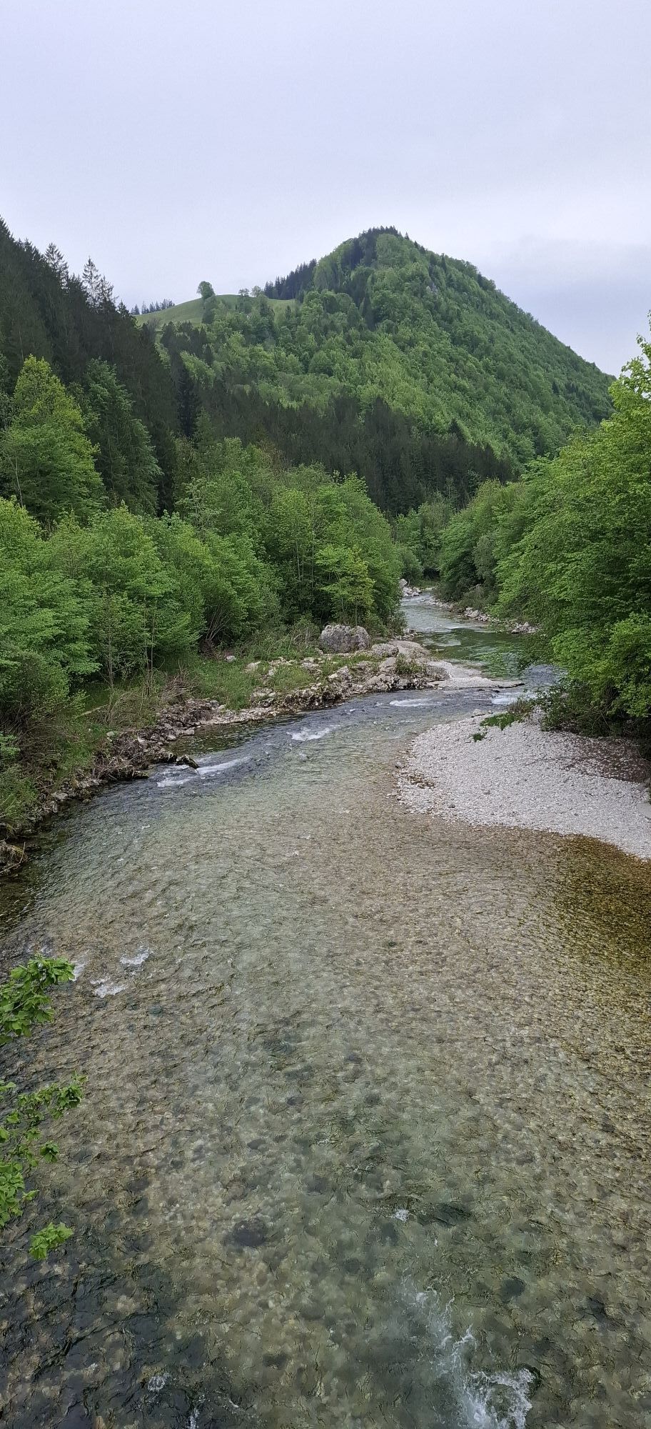
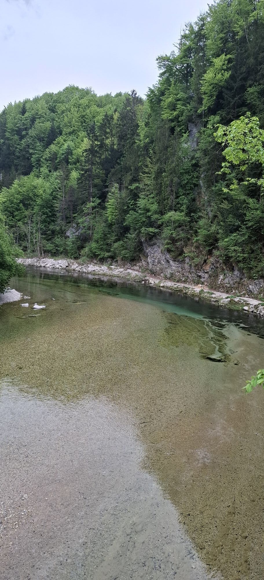
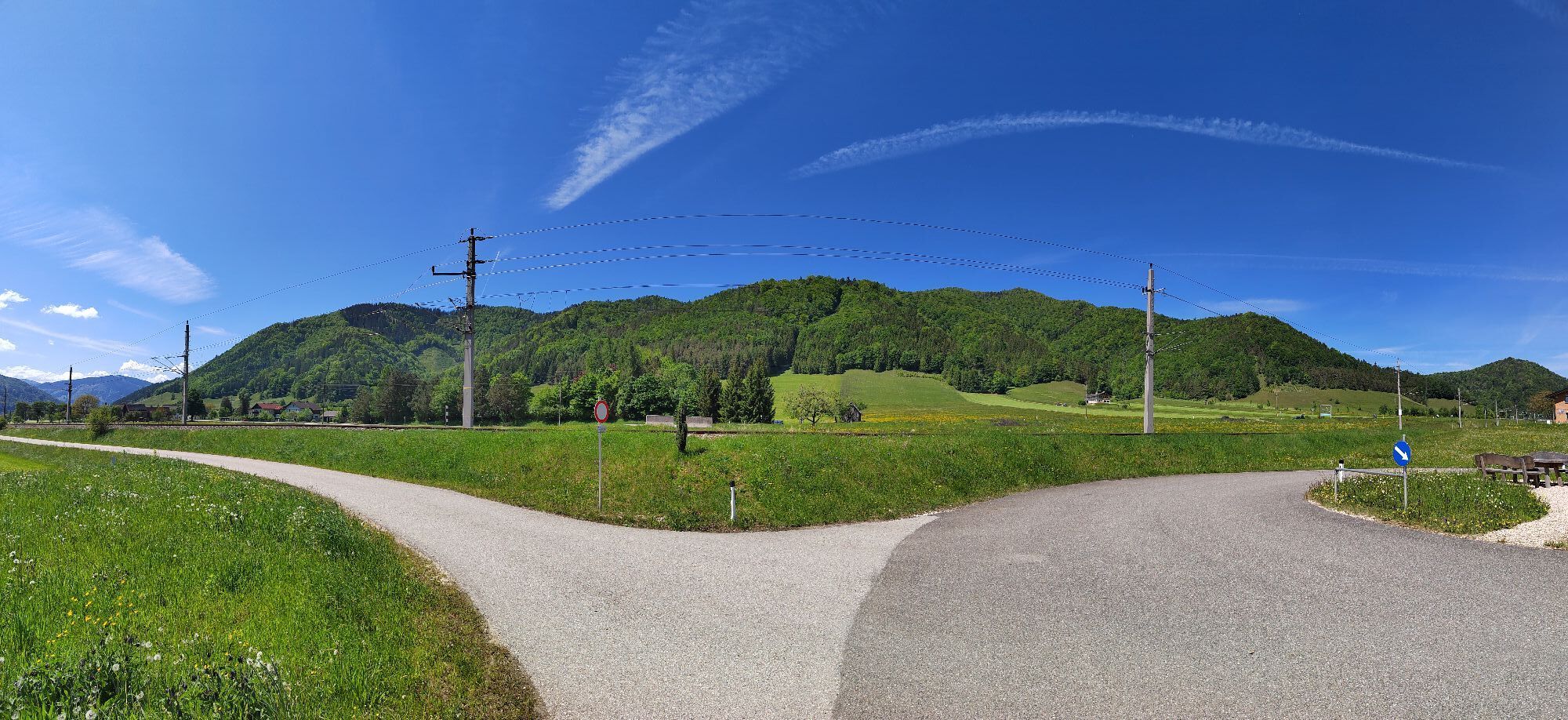
The route continues down to Gaflenz, through the town and along the cycle path to Waidhofen/Ybbs. After passing through the town, cycle upstream along the Ybbstal cycle path as at the beginning to the starting point in Opponitz.

Functional bicycle, normal gear, brakes
Up to about 3 km before entering Waidhofen/Ybbs, the route runs on cycle paths or very little-trafficked secondary roads. Here pay increased attention!
Ybbstal federal road from Waidhofen/Ybbs
ÖBB to Waidhofen/Ybbs, Radtramper bus (on weekends and during holidays) or VOR bus line to Opponitz
Ybbstalradweg parking spaces in Opponitz near GH Bruckwirt
Cooling off after the route at the Opponitz bathing area on the Ybbs.
Popularne wycieczki w okolicy
-
4,9
Kurzeck- Siebenhütten- Turnhöhe- Kitzhütte Göstling an der Ybbs, Österreich
światłoWędrówka 12,8 km -
4,7
Opponitz Gorge Hiking Trail
średniWędrówka 4,42 km -
4,3
Freithofberg
średniWędrówka 9,15 km -
4,3
Prochenberg von Ybbsitz
światłoWędrówka 6,29 km -
4,1
wanderung auf den alpl
średniWędrówka 8,18 km -
3,8
Lindaumauer (1103 m)
Wędrówka 3,40 km -
4,5
Lindaumauer, Maria Neustift
średniWędrówka 5,53 km -
5,0
Prochenbergrunde
średniWędrówka 5,96 km -
4,1
Hollenstein Stupfmauer Voralpe Tanzboden retour 20.08.2016
średniWędrówka 15,6 km -
4,7
Falkenstein (993m) und Rotmäuer (837m) ab Güterweg Kochlöffel
średniWędrówka 6,49 km
Wędrówki i tropienie


Nie przegap ofert i inspiracji na następne wakacje
Twój adres e-mail została dodana do listy mailingowej.