






Roman bike route

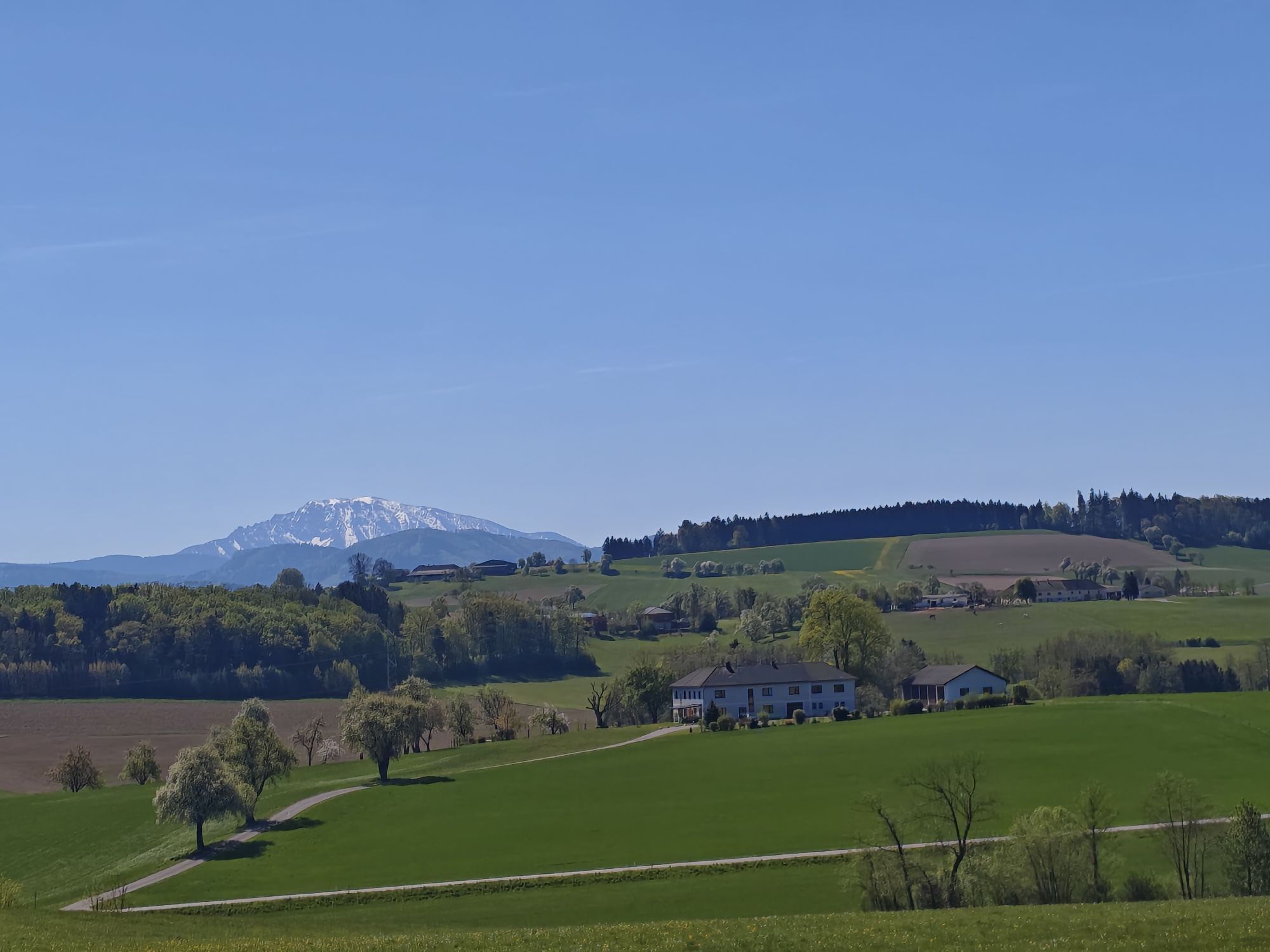
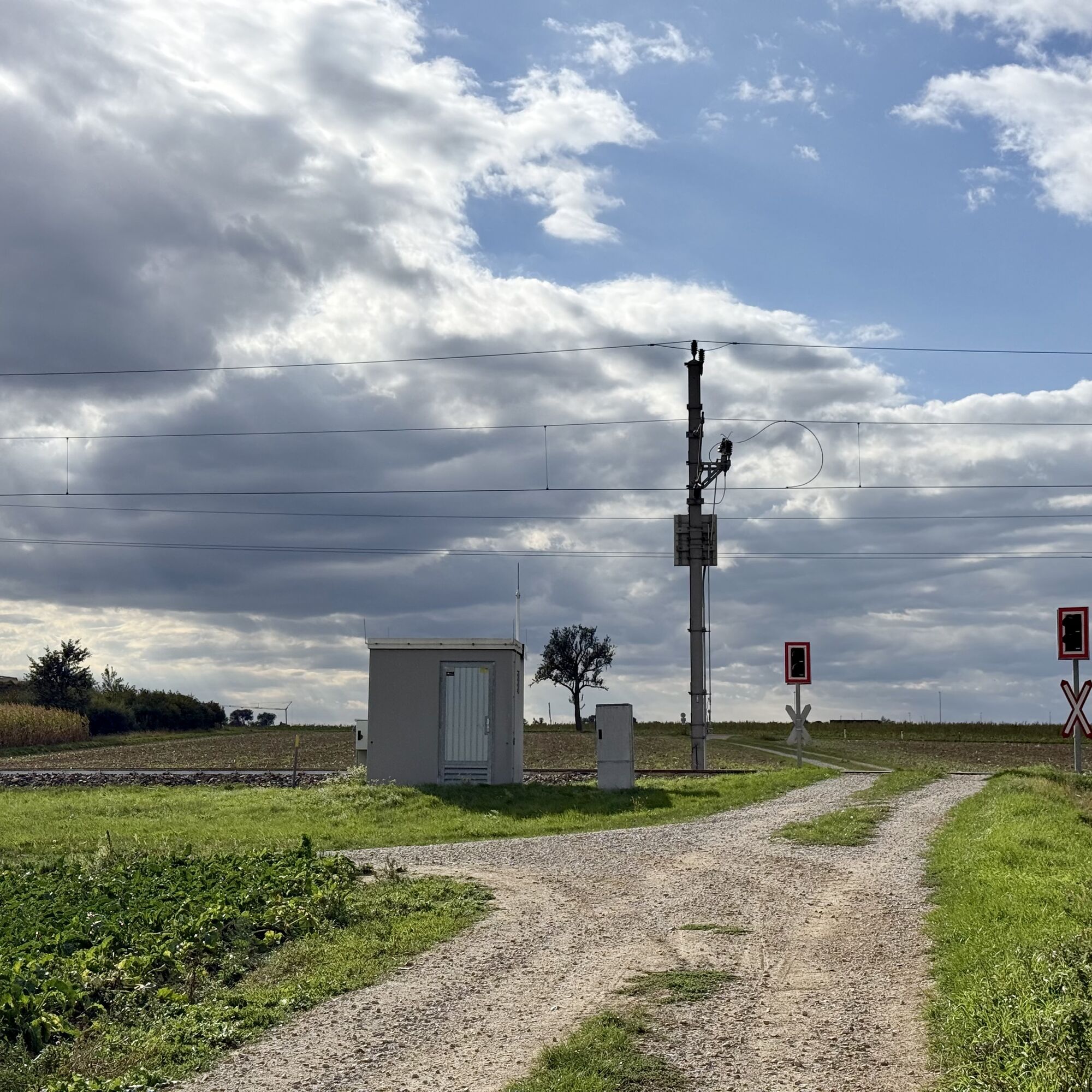
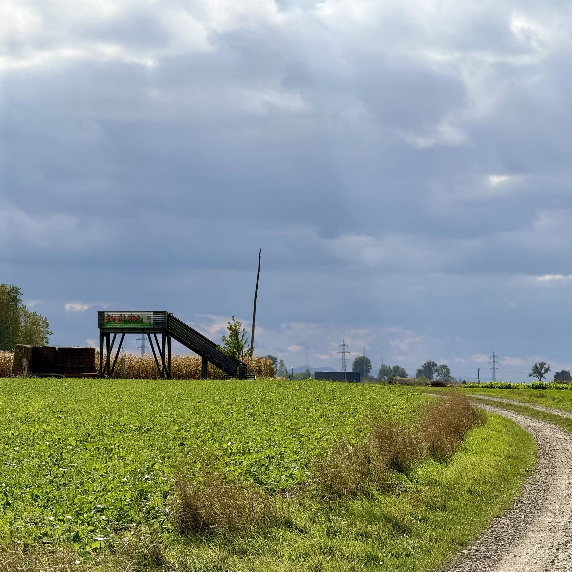
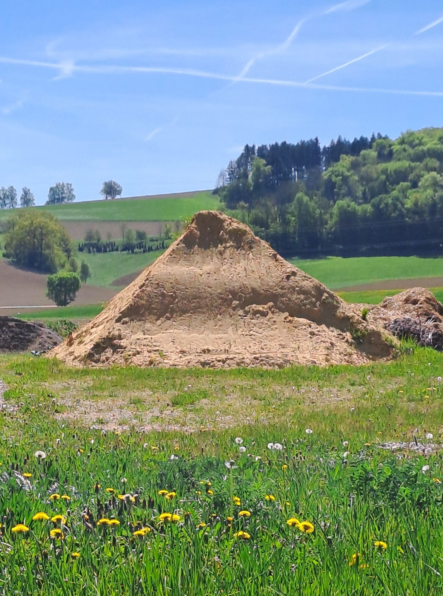
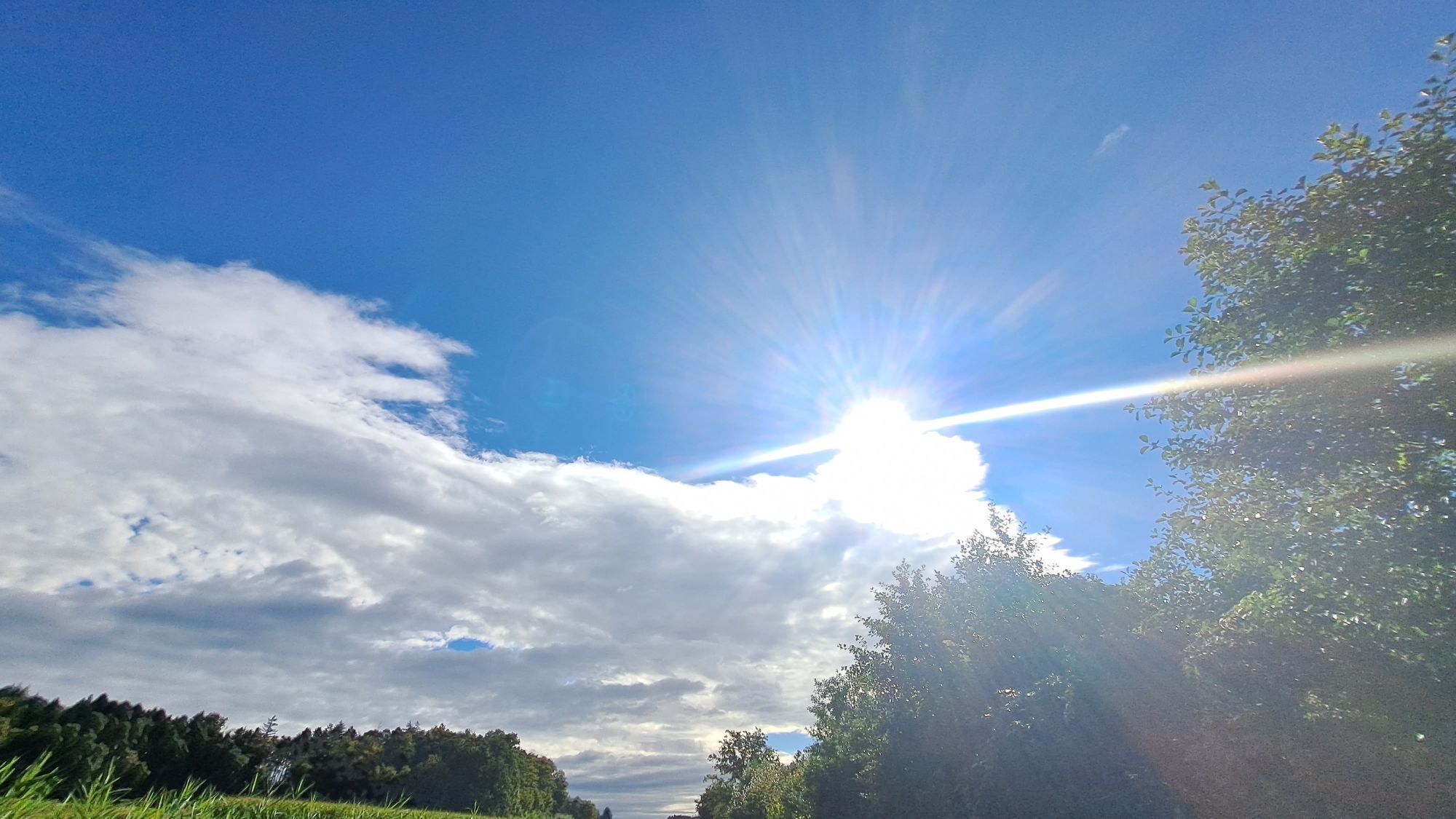
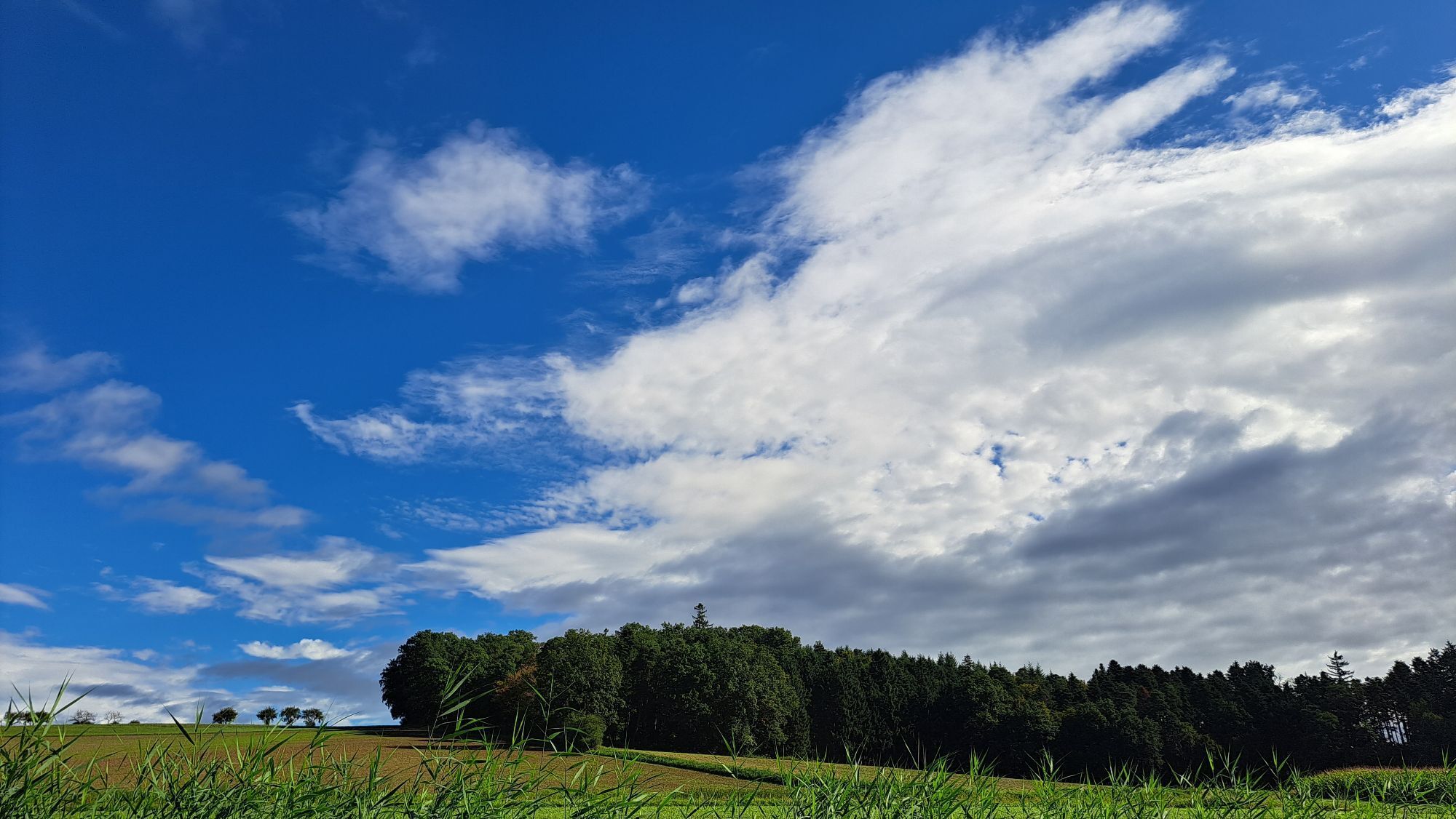
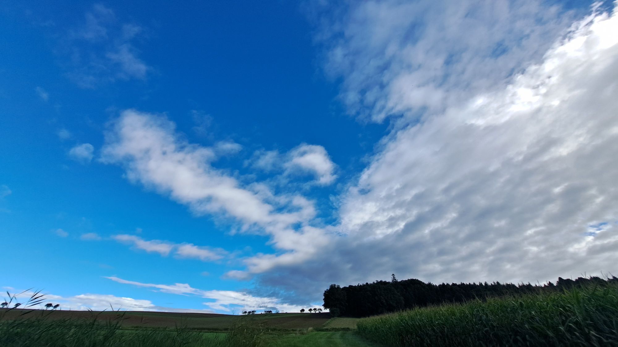
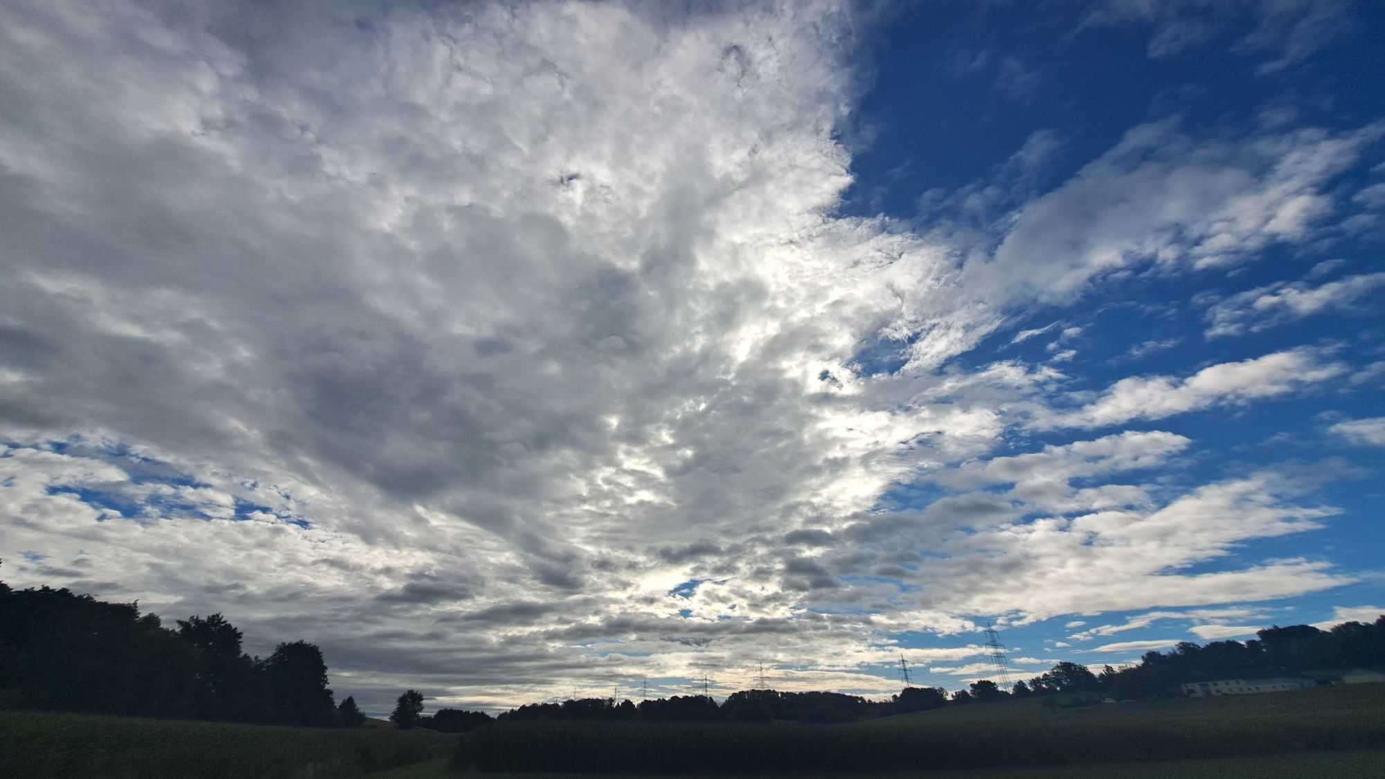
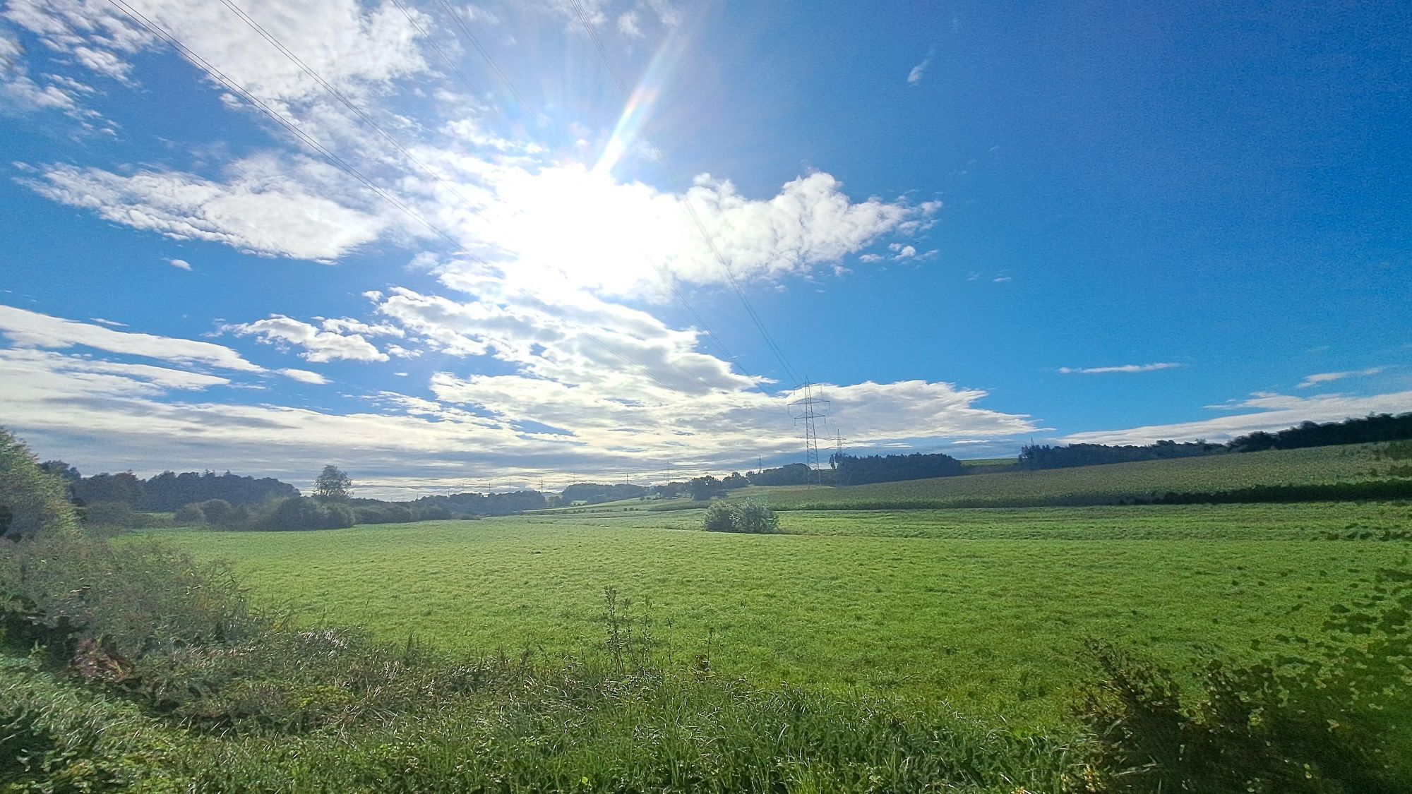
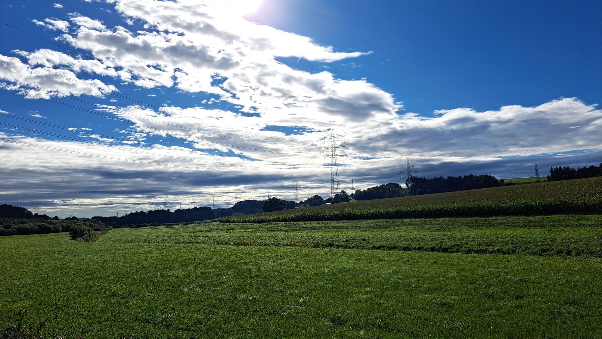

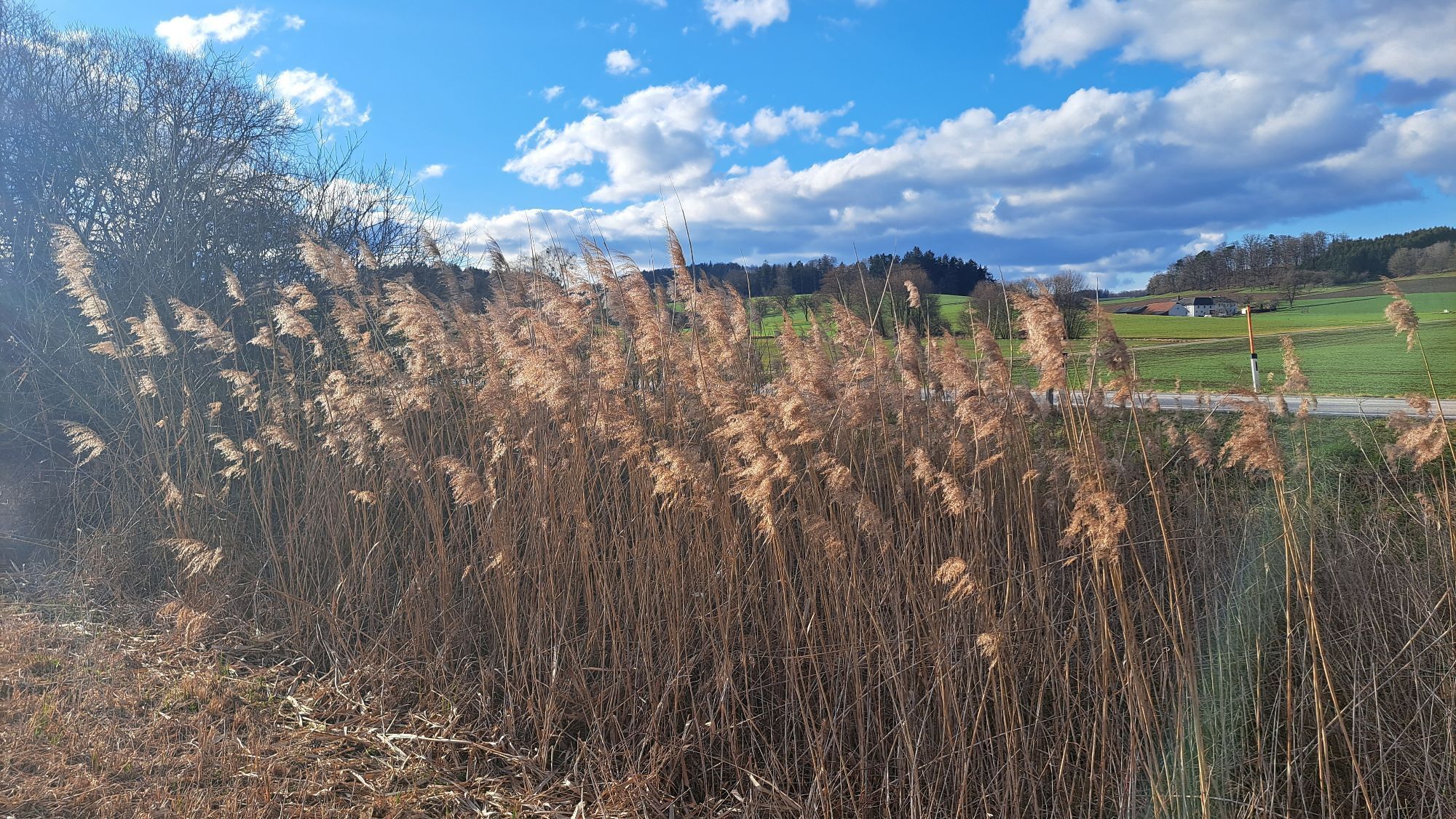
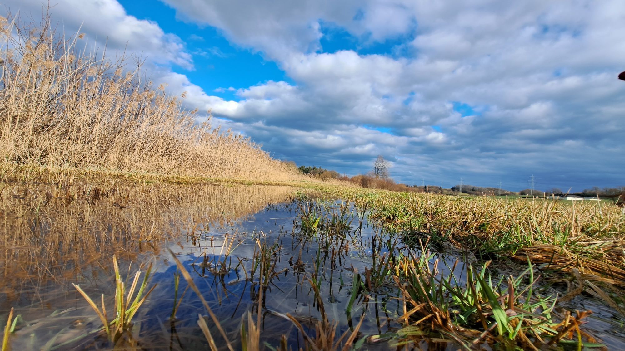
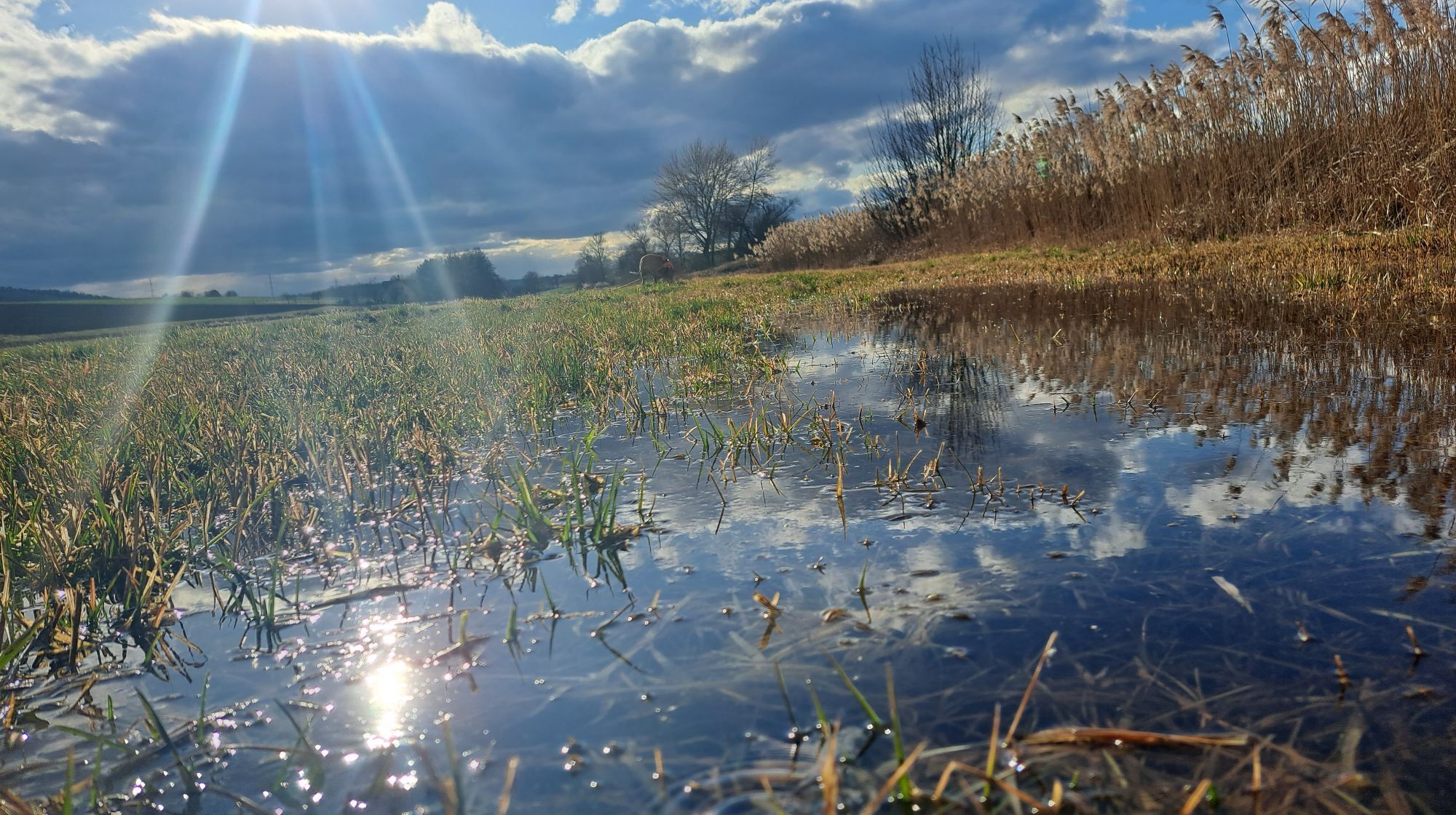
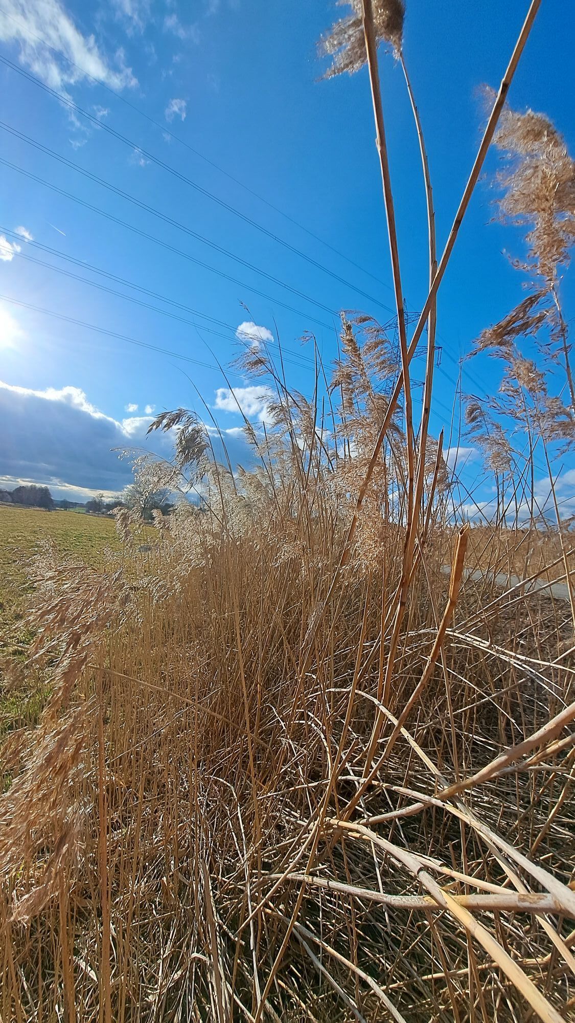
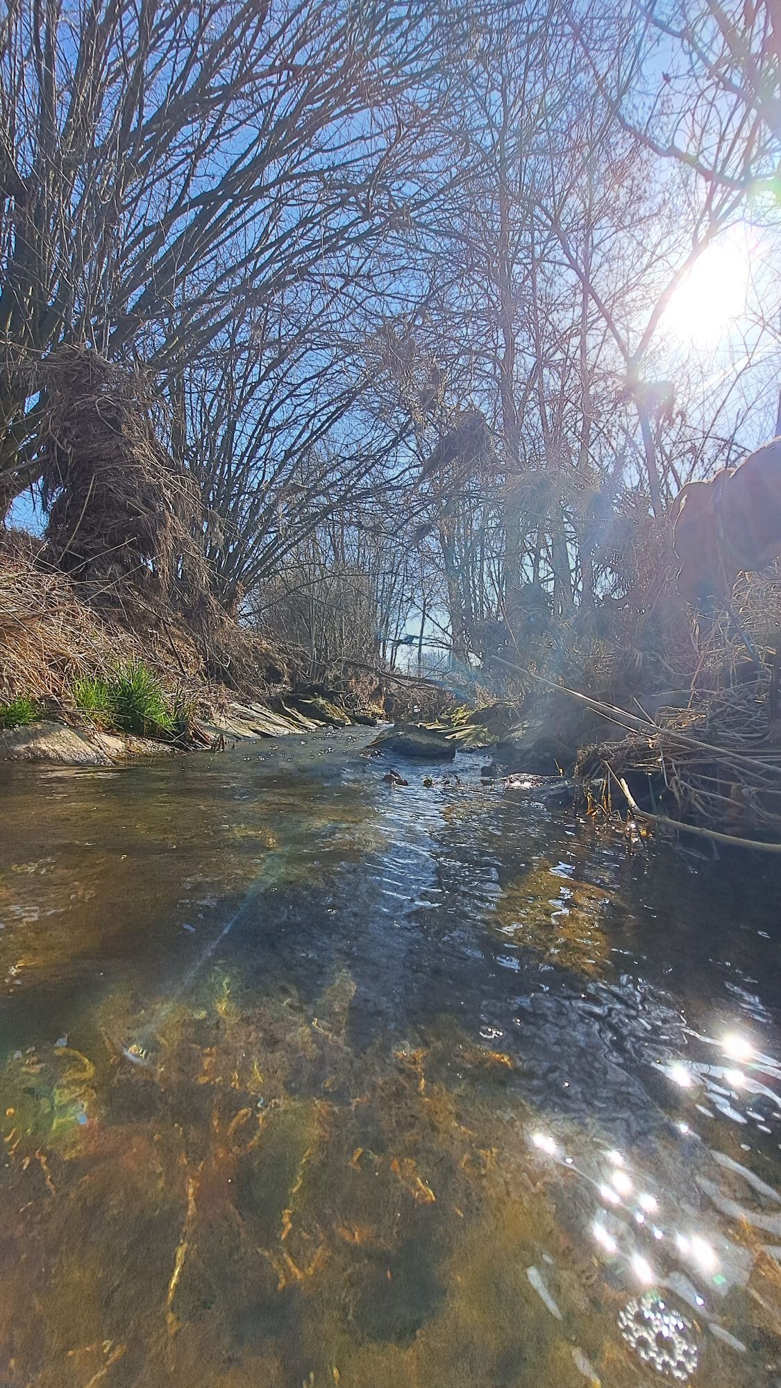
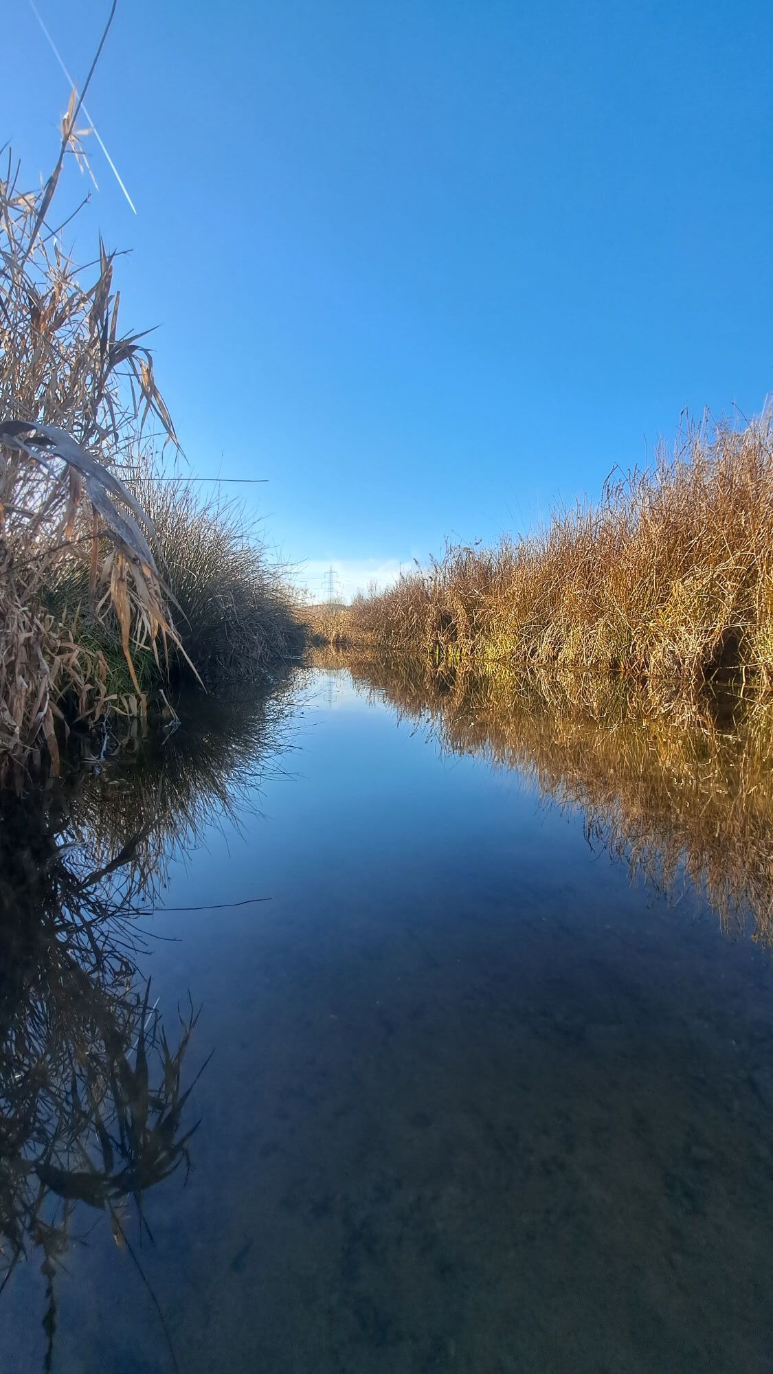
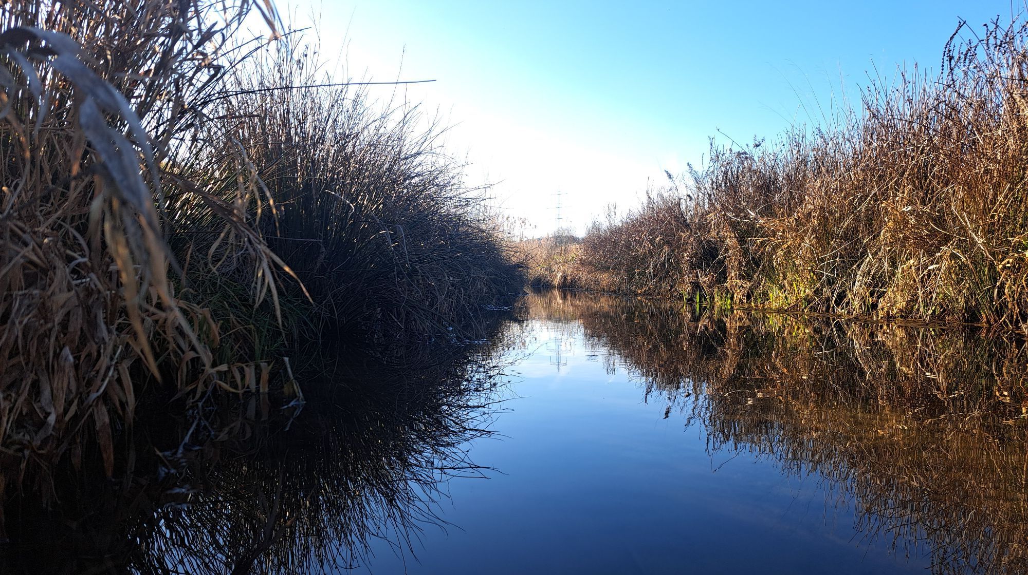
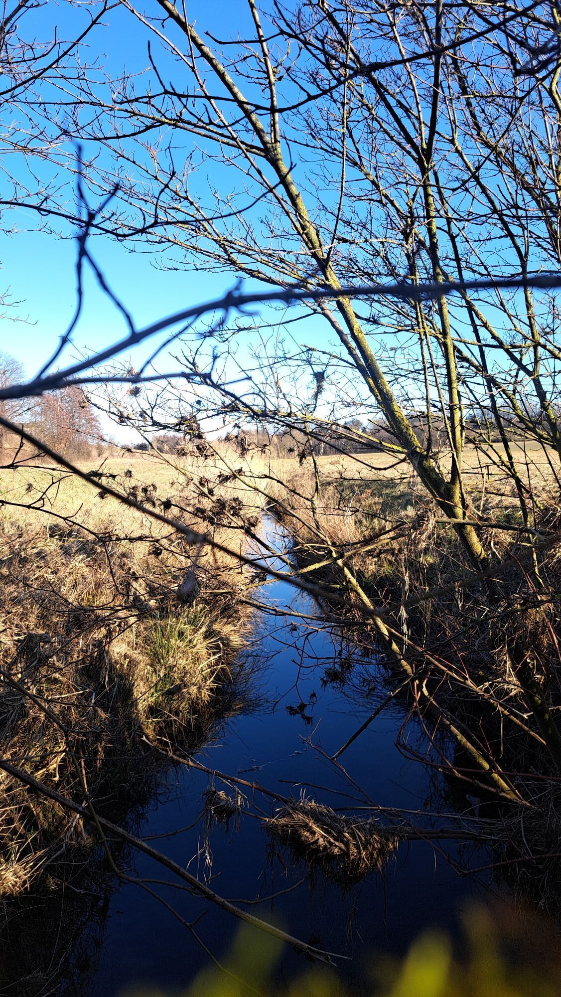
50 km of variety in the foothills of the Alps for experienced cyclists: the Roman Cycle Route is a great way to explore the central regions of the Mostviertel.
The Roman Cycle Route not only connects two...
50 km of variety in the foothills of the Alps for experienced cyclists: the Roman Cycle Route is a great way to explore the central regions of the Mostviertel.
The Roman Cycle Route not only connects two rivers (the Traisen and the Erlauf), but also two special places in Lower Austria: the provincial capital of St. Pölten and Wieselburg.

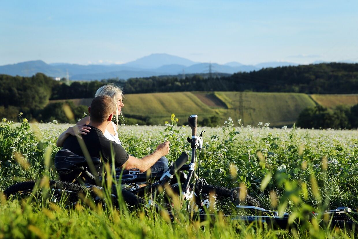
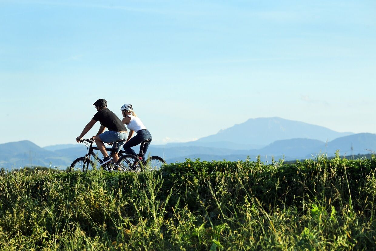

The Roman bike route is signposted between St. Pölten Alpenbahnhof and Wieselburg (Zwiesel). It leads westwards via Völlerndorf, where it crosses the Pielachtalradweg, and St. Margarethen, where it crosses the Melker Alpenvorland-Radroute, continuing through Hürm, St. Leonhard, Ruprechtshofen, and Bergland to Petzenkirchen, where from Petzenkirchen station it runs parallel to the Erlauftalradweg to Wieselburg.
From Wieselburg, you can cycle along the Erlauftalradweg north to the Danube cycle path or south to Lunz am See to the Ybbstalradweg. Alternatively, from Wieselburg, follow the Little Erlauftalradweg to Gaming and then the Erlauftalradweg downstream back to Wieselburg.
Via the Westautobahn A1, exit St. Pölten-Süd
Travel comfortably by train via the Westbahn line to St. Pölten main station.
When arriving in St. Pölten, parking at Alpenbahnhof is recommended, where there are free parking spaces and the Roman bike route passes directly by.
Person responsible for the content of this tour
Mostviertel
Last update: 18.11.2025
The Roman bike route is ideal for multi-day routes, as Wieselburg is a cycling hub with the Erlauftalradweg and the Little Erlauftalradweg!
Kamery internetowe z trasy

Popularne wycieczki w okolicy
-
4,6
Welterbesteig Wachau 08: Emmersdorf-Melk
światłodługodystansowy szlak pieszy 9,90 km -
4,3
Welterbesteig Wachau 07: Aggsbach Markt-Emmersdorf (Naturpark Jauerling-Wachau)
światłodługodystansowy szlak pieszy 14,6 km -
4,5
Gaisbühel über Jubiläumsweg
światłoWędrówka 12,0 km -
4,5
Spitzmauer und Geisbühel von Tradigist aus
światłoWędrówka 7 km -
4,1
Hiesberg Gipfelkreuz Rundweg
światłoWędrówka 7,38 km -
4,0
Geisbühel-Runde
światłoWędrówka 13 km -
5,0
Gipfelkreuz-Rundwanderweg - Loosdorf
światłoWędrówka 5,45 km -
4,0
Welterbesteig Wachau 09: Melk-Aggsbach Dorf
światłodługodystansowy szlak pieszy 16,9 km -
4,7
Windschnur - Dunkelstein Runde
światłoWędrówka 12,3 km -
4,0
ST.GOTTHARD Bertlsteig Grüntalkogel Bichlberg Höllgraben 20220326
średniWędrówka 11,4 km
Wędrówki i tropienie


Nie przegap ofert i inspiracji na następne wakacje
Twój adres e-mail została dodana do listy mailingowej.





