







Nature Park Lower Austria Eisenwurzen
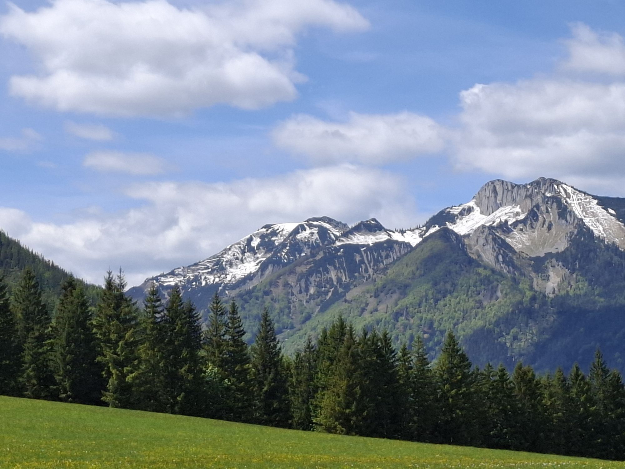


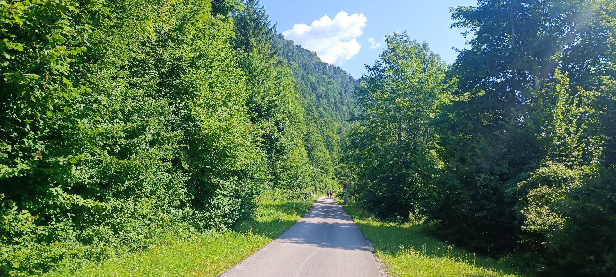


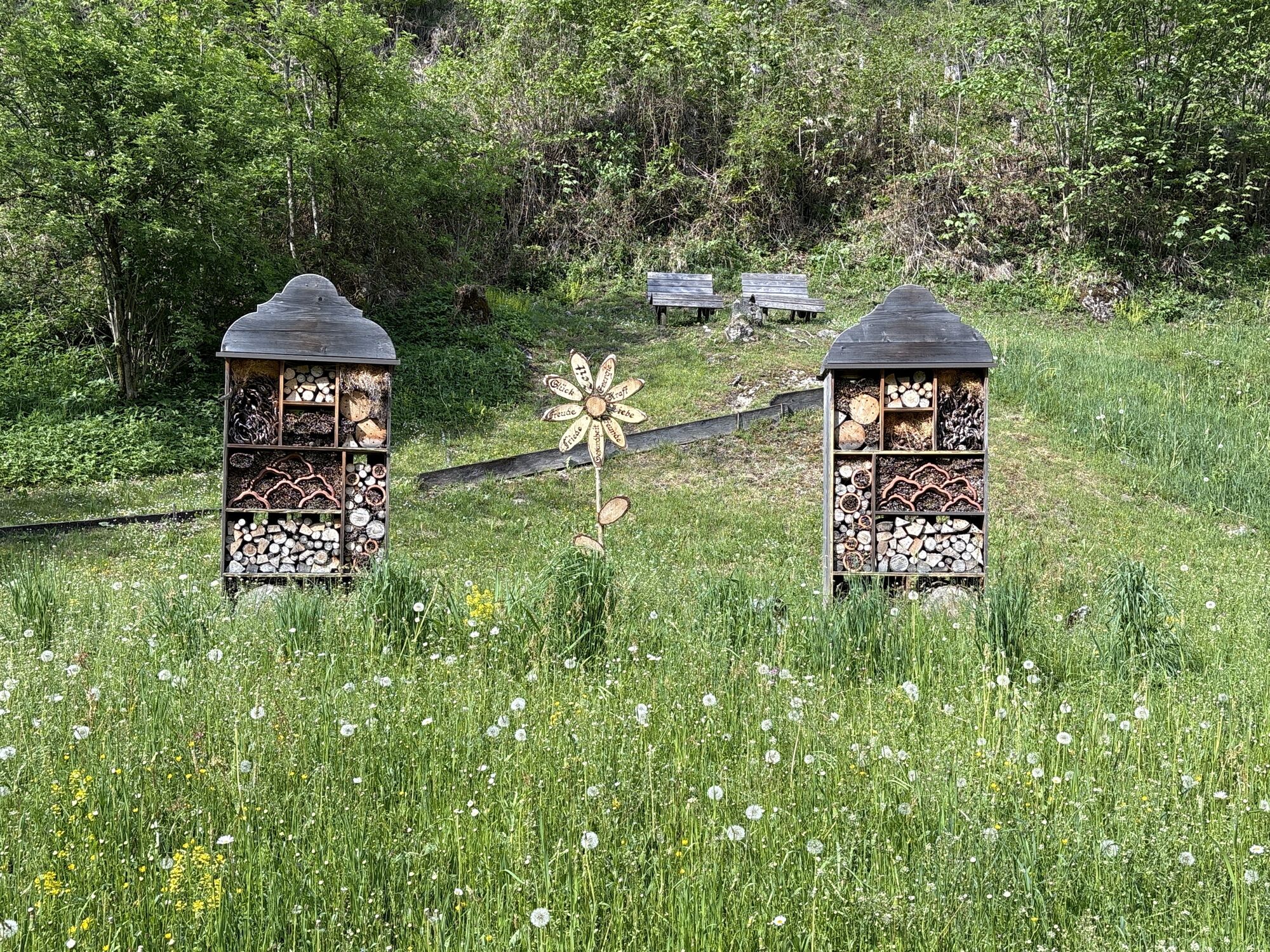
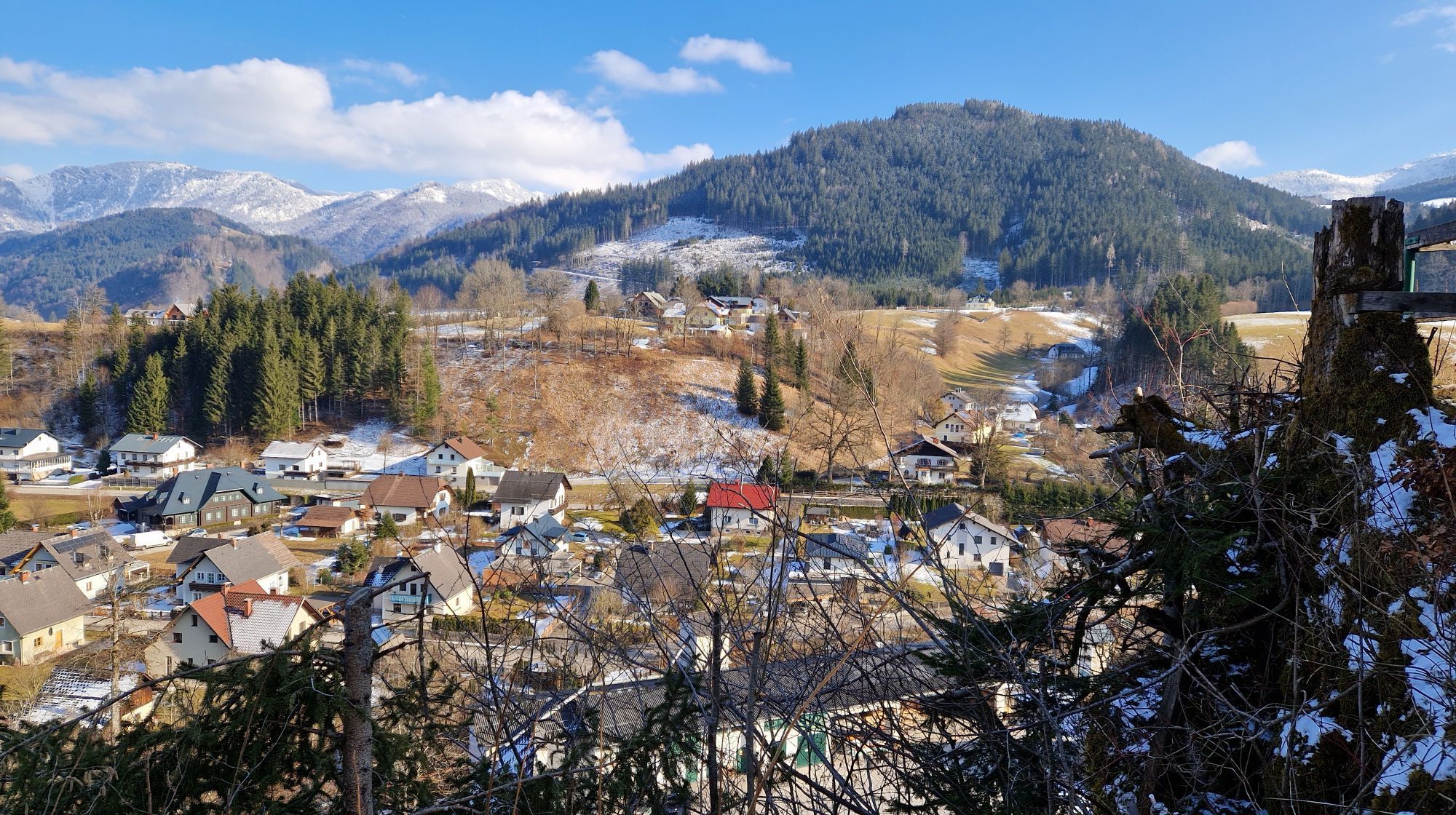
Immerse yourself in the nature park: From Hollenstein, the route first climbs for 10 km to Promau - gently at first, then a little steeper at the end - where a lovely rest area invites you to take your...
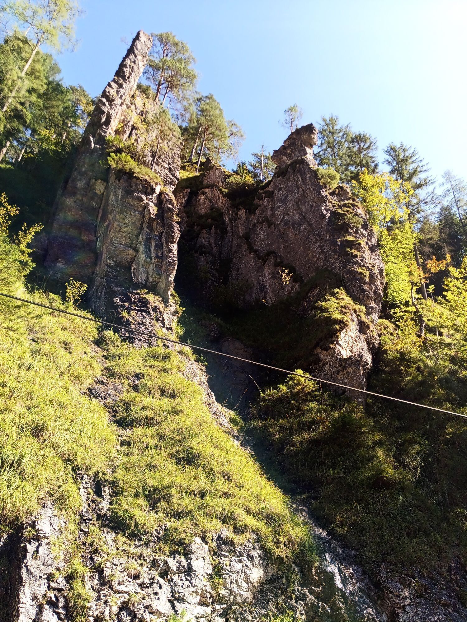
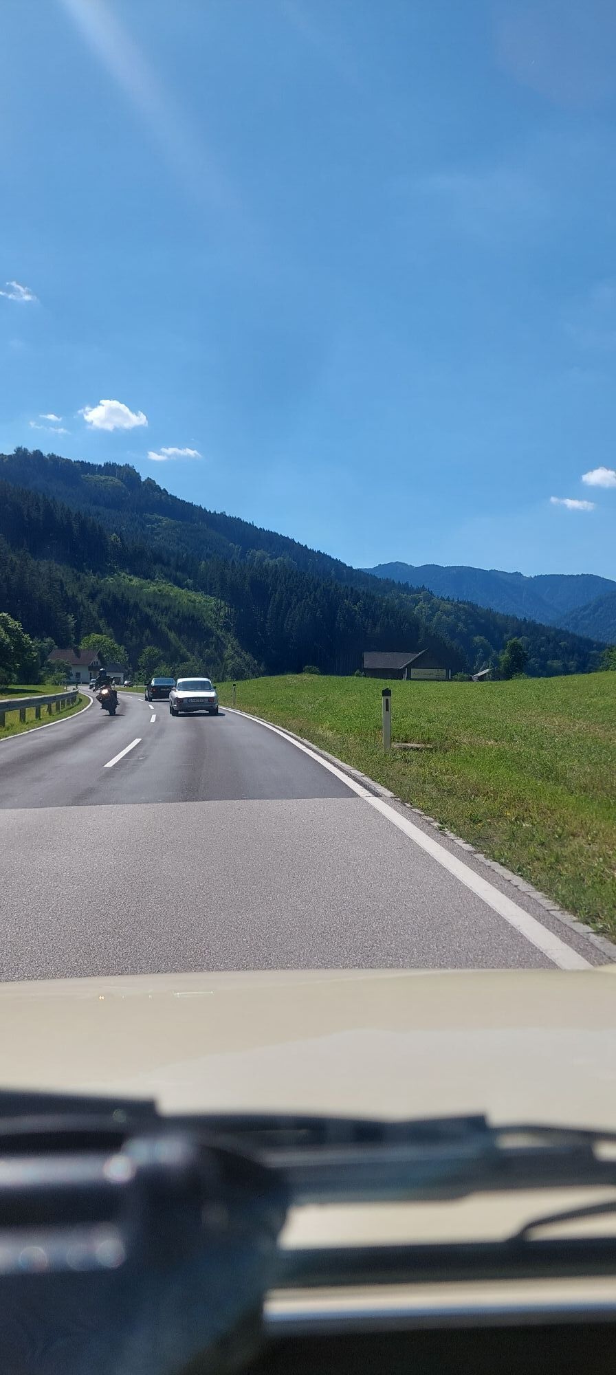
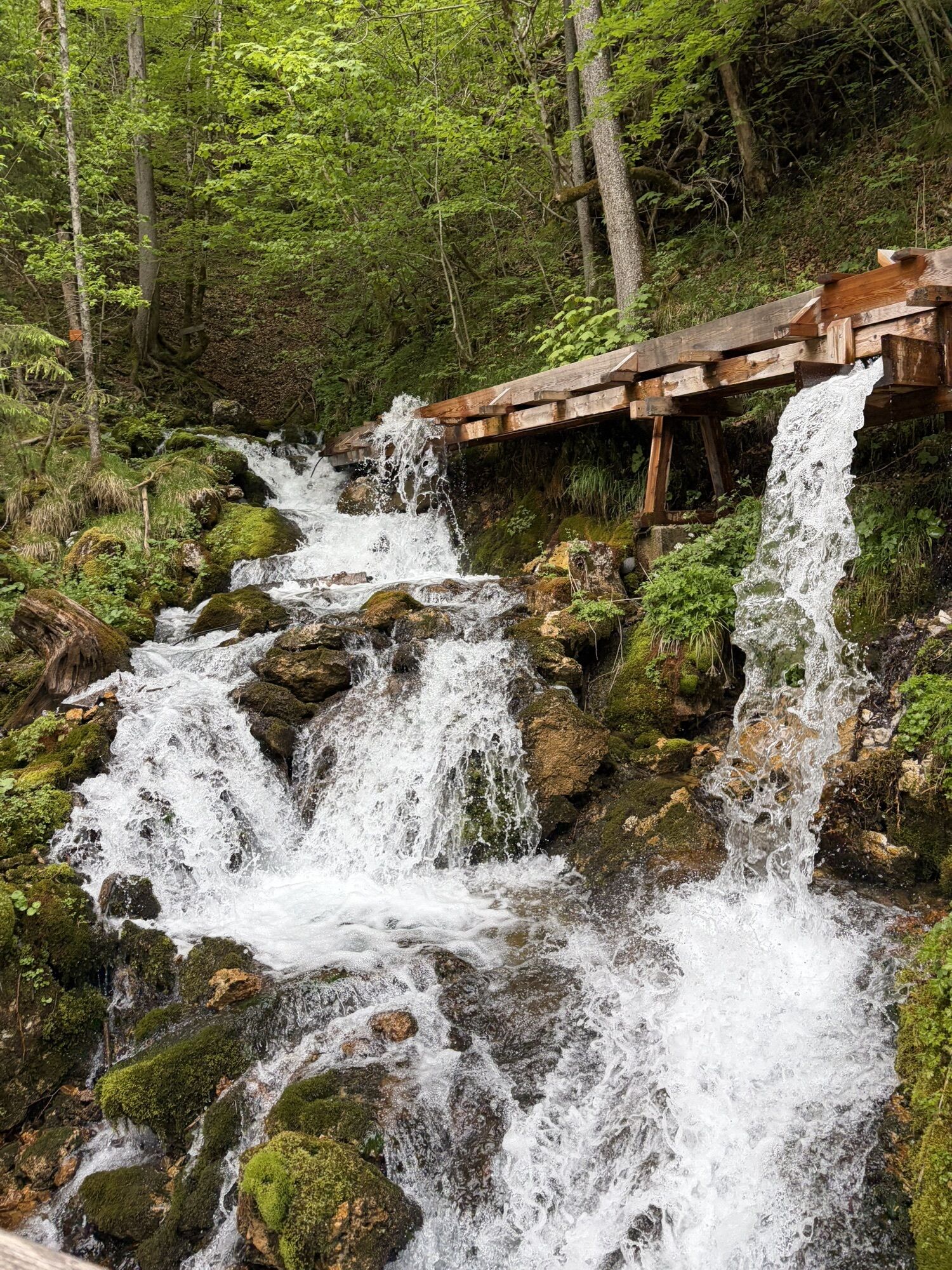
Immerse yourself in the nature park: From Hollenstein, the route first climbs for 10 km to Promau - gently at first, then a little steeper at the end - where a lovely rest area invites you to take your first break. The descent is winding and leads into the Mendlingtal valley and to the start/end point of the 3.5 km long, wild and romantic gorge along a stream, where you will find one of the last functioning timber rafting areas in Central Europe. A short, quite steep ascent parallel to this and a short, very steep descent lead to Lassing - also the starting/ending point of this great Excursion destinations.
The next 7 km are along the main road slightly downhill to Göstling, where you turn off onto the Ybbstal cycle path after crossing the town center and follow it back to Hollenstein via Kogelsbach, St. Georgen am Reith.
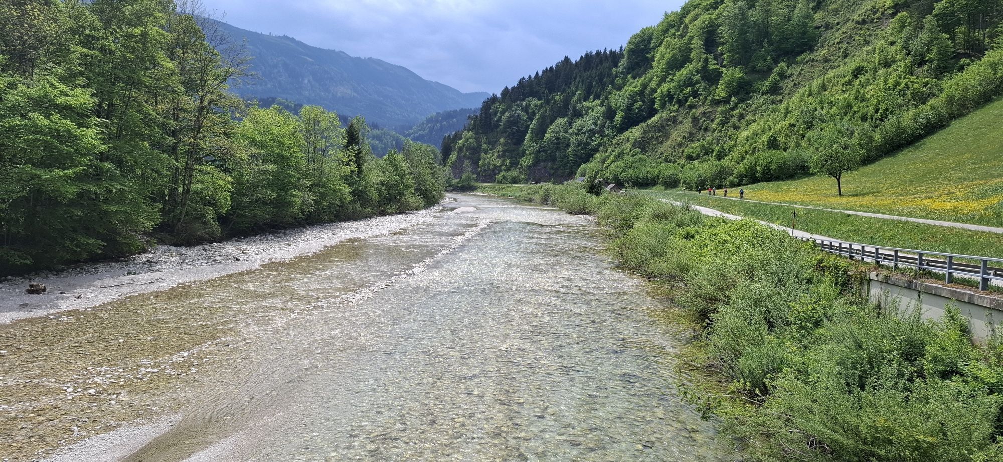
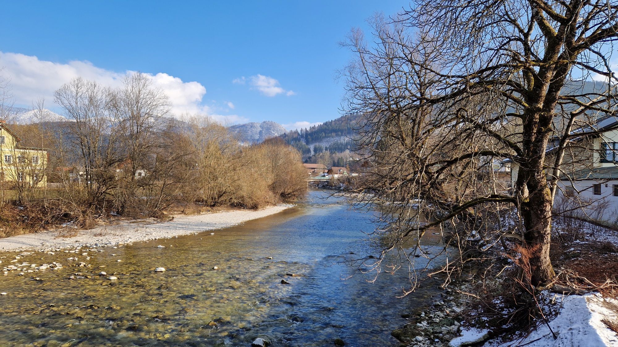
The last few kilometers in particular are another pure nature experience directly along the Ybbs.

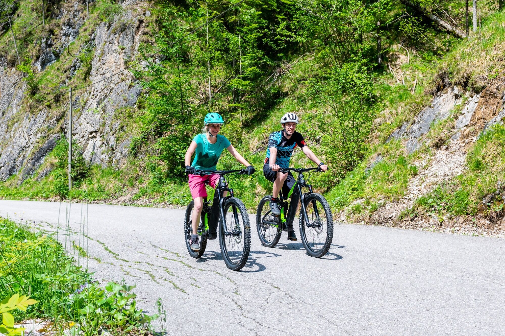
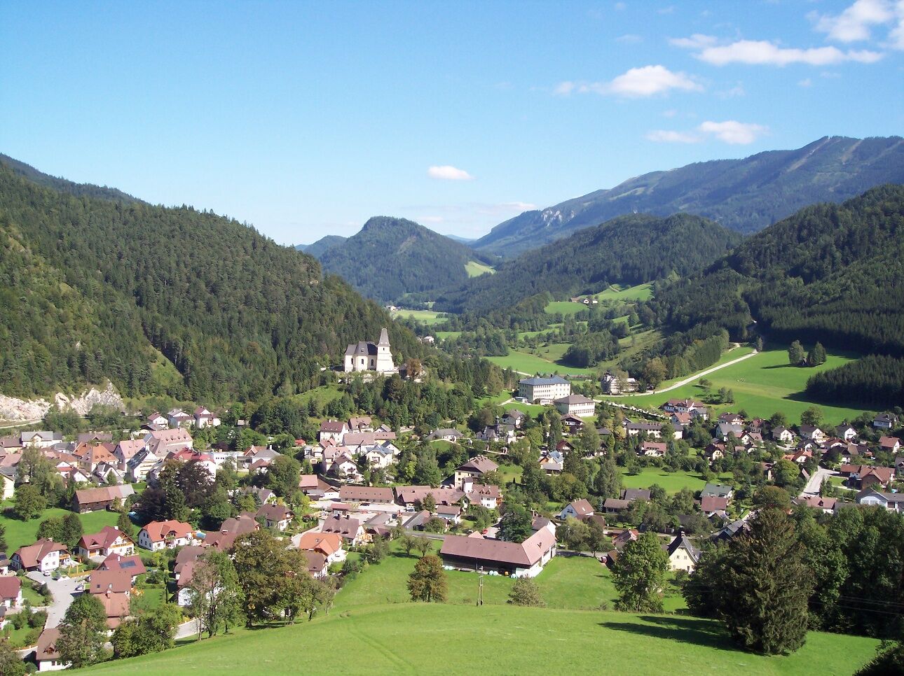

Follow the street from the town towards Lassing (Sandgraben). It goes uphill for 10 km, with the last two kilometers being a bit steeper (max. 10%). Then follows a descent with max. 7% on a narrow road and partly very tight curves (caution!). Past the parking lot of the Erlebniswelt Mendlingtal, there is an 800 m long climb up to 15% steep, followed by an equally steep descent before you turn onto the main road in Lassing.
Follow this gently descending road for 6 km to Göstling South and turn towards the town center. After the town, switch to the Ybbstal bike path and follow it comfortably downstream without inclines to Hollenstein.
Serviced (touring) bike, helmet, provisions, small change.
Partly narrow and somewhat damaged road conditions between Hollenstein and Lassing as well as curvy, narrow descent into Mendlingtal. Steep downhill before Lassing -> high speed before entering the main road.
Motorway exit Ybbs - Erlauftal federal road B25 to Hollenstein or B31 Ybbstal federal road
With rental bike: VOR bus line to/from Hollenstein. Bike rentals Sportwerk and ANKA
With own bike: bike tramp or bike taxi from/to Waidhofen/Ybbs or Hollenstein
Town center Hollenstein
Tourism IG Ybbstaler Alps
Göstling 46/2, 3345 Göstling an der Ybbs
www.ybbstaler-alpen.at
info@ybbstaler-alpen.at
+43-5-93049
A good opportunity to rest at halfway: The Hammerwirt between Lassing and Göstling
Uzyskaj wgląd
Zawsze na żywo z ponad 9 500 kamer internetowych. bergfex Jako użytkownik Pro, możesz teraz zobaczyć odpowiednie kamery internetowe dla wielu wycieczek w aplikacji wycieczki od. Pozwala to na bezpośredni podgląd aktualnych warunków.


Popularne wycieczki w okolicy
-
4,6
Hochkar - Schmalzmauer - Geißhöhe - Ringkogel - Schwarzalmhütte - Brunneckerhütte
średniWędrówka 13,2 km -
4,9
Kurzeck- Siebenhütten- Turnhöhe- Kitzhütte Göstling an der Ybbs, Österreich
światłoWędrówka 12,8 km -
4,7
Opponitz Gorge Hiking Trail
średniWędrówka 4,42 km -
4,5
Lechner Graben - Ybbstaler Hütte
średniWędrówka 14,2 km -
4,9
Lechnergraben-Grünloch-Ybbstalerhütte
światłoWędrówka 9,72 km -
4,4
Palfauer Wasserlochklamm
średniWędrówka 1,78 km -
4,1
wanderung auf den alpl
średniWędrówka 8,18 km -
3,9
HOCHKAR Parkplatz Blachlboden Leckerplan Geischlägerhaus Hochkar Scheinecksttl. ret. 23.08.2018
światłoWędrówka 8,30 km -
4,1
Hollenstein Stupfmauer Voralpe Tanzboden retour 20.08.2016
średniWędrówka 15,6 km -
4,4
Friesling (1340m) ab Parkplatz Grosse Kripp
średniWędrówka 9,01 km
Wędrówki i tropienie


Nie przegap ofert i inspiracji na następne wakacje
Twój adres e-mail została dodana do listy mailingowej.





