


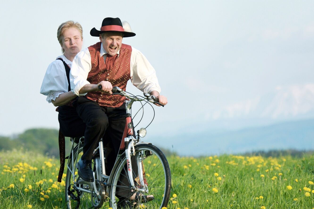
Mostbaron cycling route
The tour is often hilly and with few rolling sections, a challenging day tour. It comprises two sections: In the north around Ardagger Abbey and in the south between Euratsfeld and Neuhofen.
Sweeping views...
The tour is often hilly and with few rolling sections, a challenging day tour. It comprises two sections: In the north around Ardagger Abbey and in the south between Euratsfeld and Neuhofen.
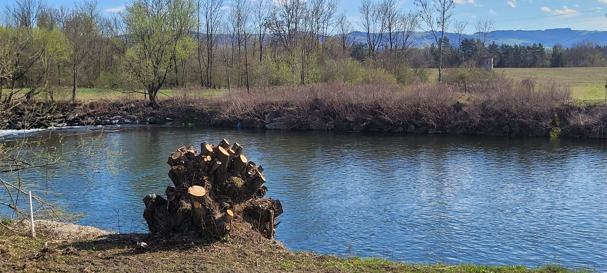
Sweeping views - across to the Mühlviertel and as far as the Ötscher - make this tour a "sublime" experience. Along the way, there are plenty of places to take a break. There are also numerous sights along the way.
Note: The cycle route is signposted in both directions and can also be cycled in the other direction.

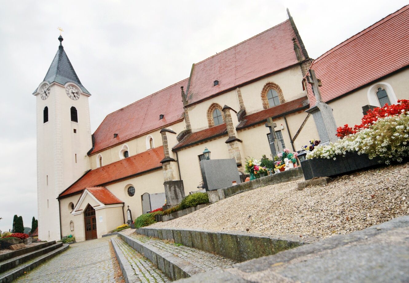
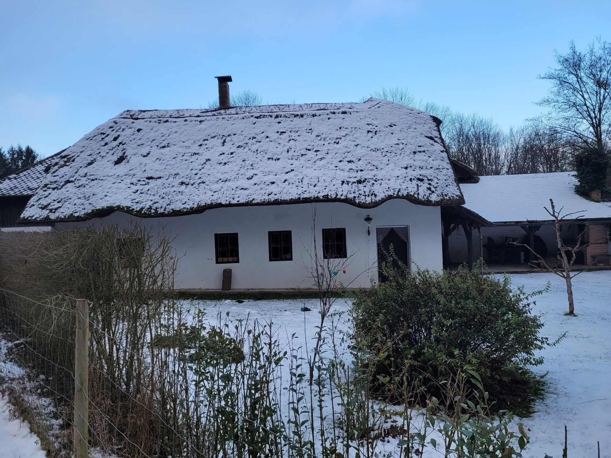
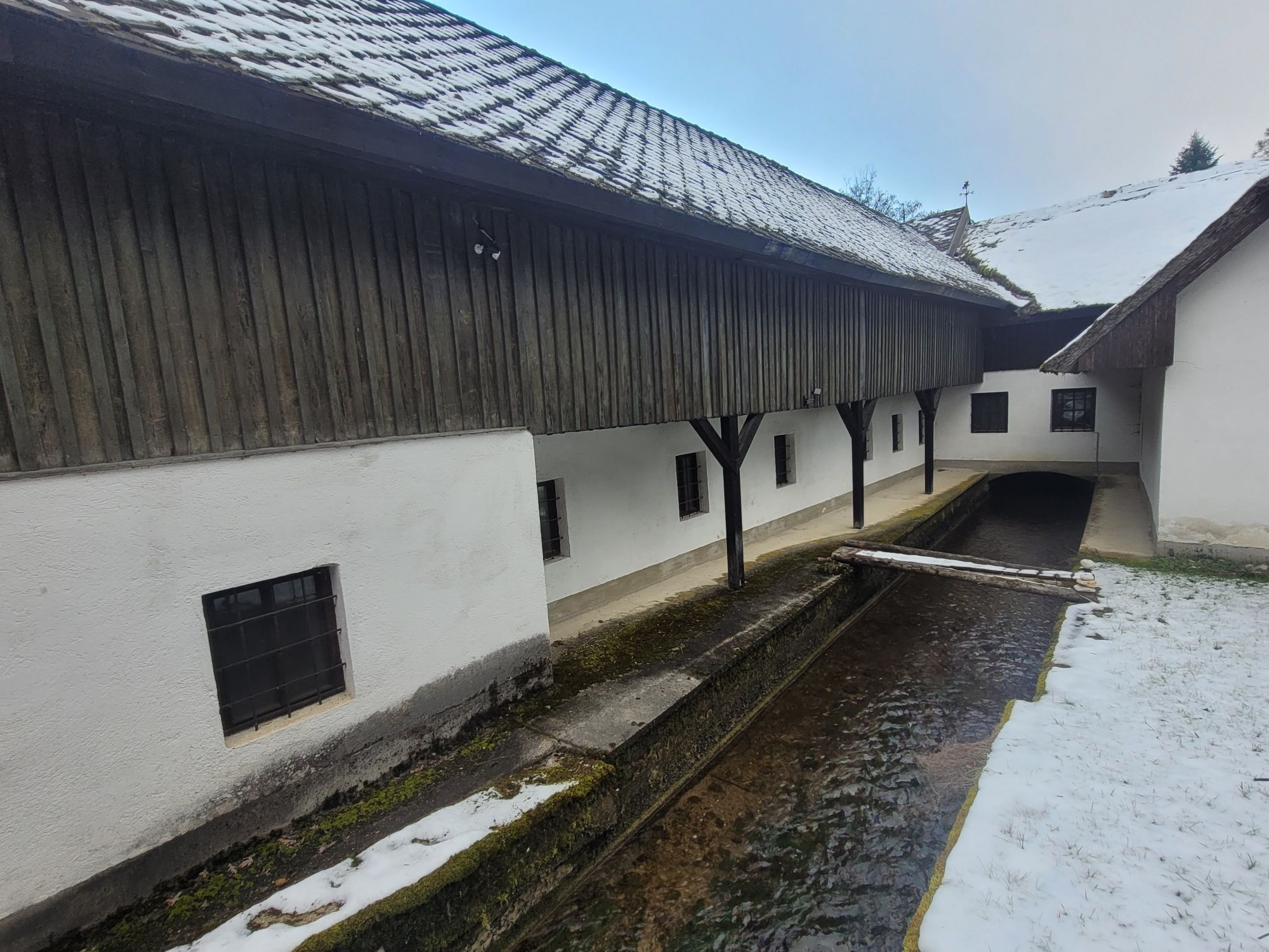
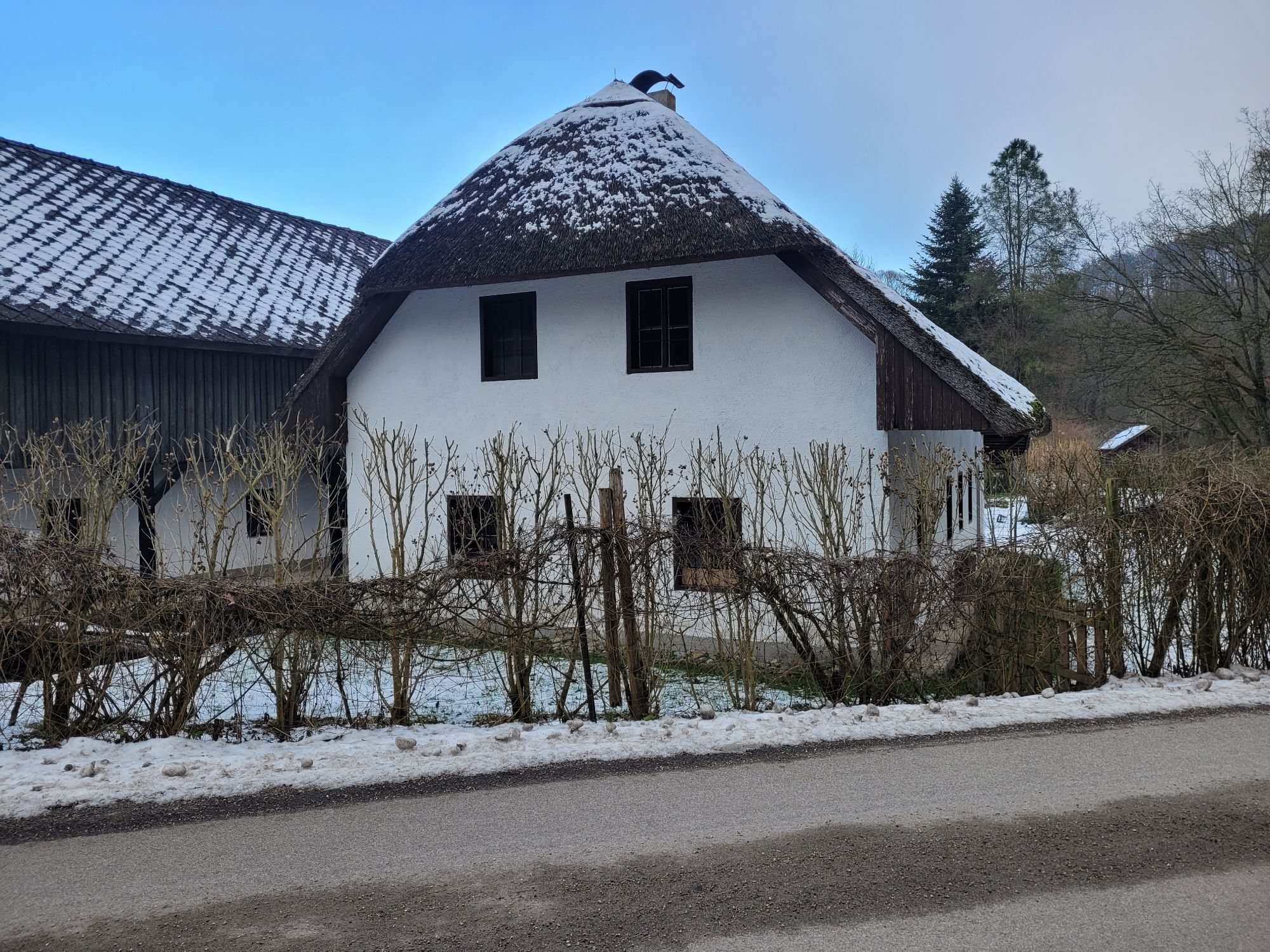
The Mostbaron cycling route starts gently ascending from Ardagger Abbey to Viehdorf, then gently descending to Leutzmannsdorf. After crossing the Ybbs, the route slightly rises again towards Euratsfeld. Before reaching Euratsfeld, the Most tavern Sommereggerhof, the Most tavern Zeilinger, and the country hotel Gafringwirt invite you to stop for refreshment.
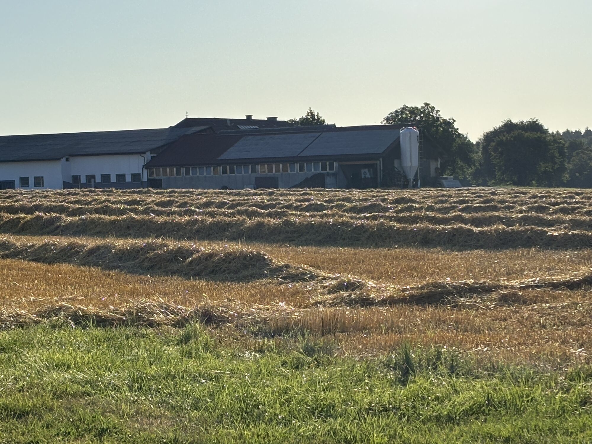
From Euratsfeld, the route constantly alternates between uphill and downhill sections to Neuhofen an der Ybbs. From Neufurth to Oed-Öhling, it continues very flat, before it becomes slightly more demanding just after the Mostelleria in Öhling. The highest point of the route is reached directly under the A1 motorway; from here it gently rolls downhill towards the northeast.
Shortly after Zeillern Castle, the route continues – still gently descending – northwards to Stephanshart, where the lowest point of the loop is reached. The last kilometers are slightly hilly heading east back to the starting point in Ardagger Abbey.
Exit the West Autobahn A1 at Amstetten-West and via Greiner Street (L119) to Ardagger Abbey.
Arrival via Amstetten train station with connection to the Mostbaron cycling route towards Dingfurt or Viehdorf.
Parking lot Ardagger Abbey
Ideal route for e-bikes!


Popularne wycieczki w okolicy
-
4,4
Gobelwarte - Grein, Oberösterreich
średniWędrówka 5,41 km -
4,4
Gobelwarte-Runde, Grein
średniWędrówka 8 km -
4,6
Brandstetterkogel über Matras Steig
światłoWędrówka 6,28 km -
4,1
Wallsee Altarmrunde
światłoWędrówka 8,19 km -
4,9
Reidlingberg - Gruber Kreuz - Hochkogel
światłoWędrówka 10,0 km -
4,7
Clamrunde durch die Schlucht
światłoWędrówka 5 km -
4,4
tut gut-Routen Hochkogelberg
Wędrówka 11,0 km -
4,8
Burg Klam Rundweg
światłoWędrówka 10,9 km -
3,2
Rundwanderung Windhag - St. Leonhard - St. Aegidi
światłoWędrówka 15,2 km -
4,7
Panoramastüberl - Hochkogel
światłoWędrówka 6,45 km
Wędrówki i tropienie


Nie przegap ofert i inspiracji na następne wakacje
Twój adres e-mail została dodana do listy mailingowej.