







Hegerberg
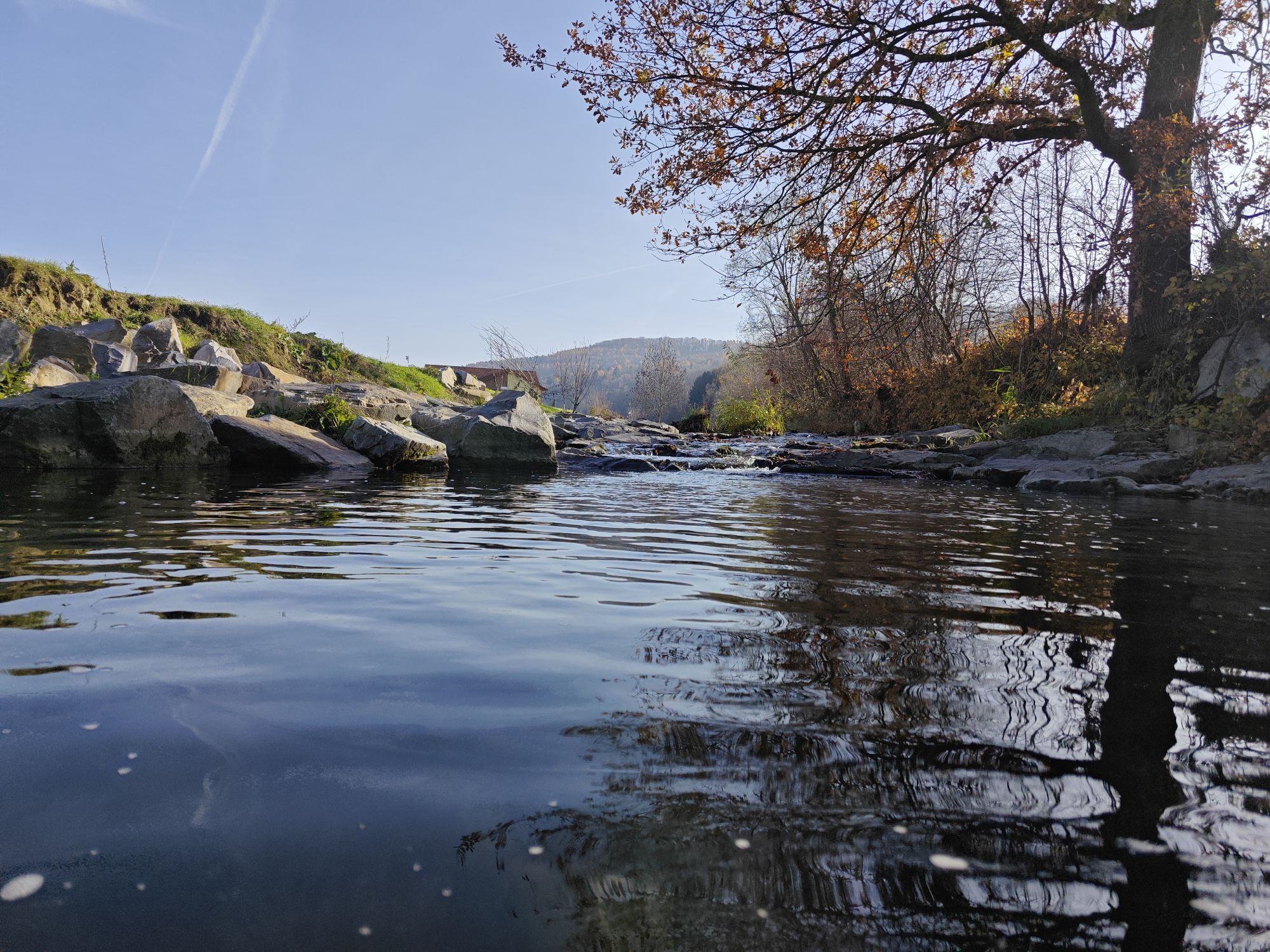
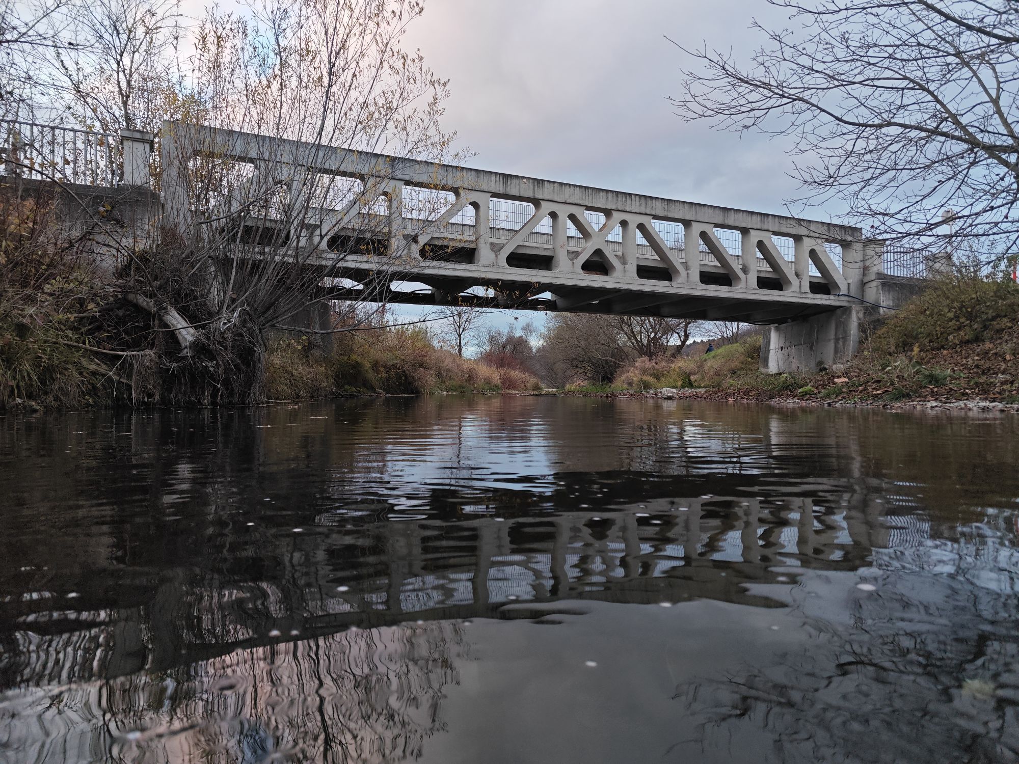
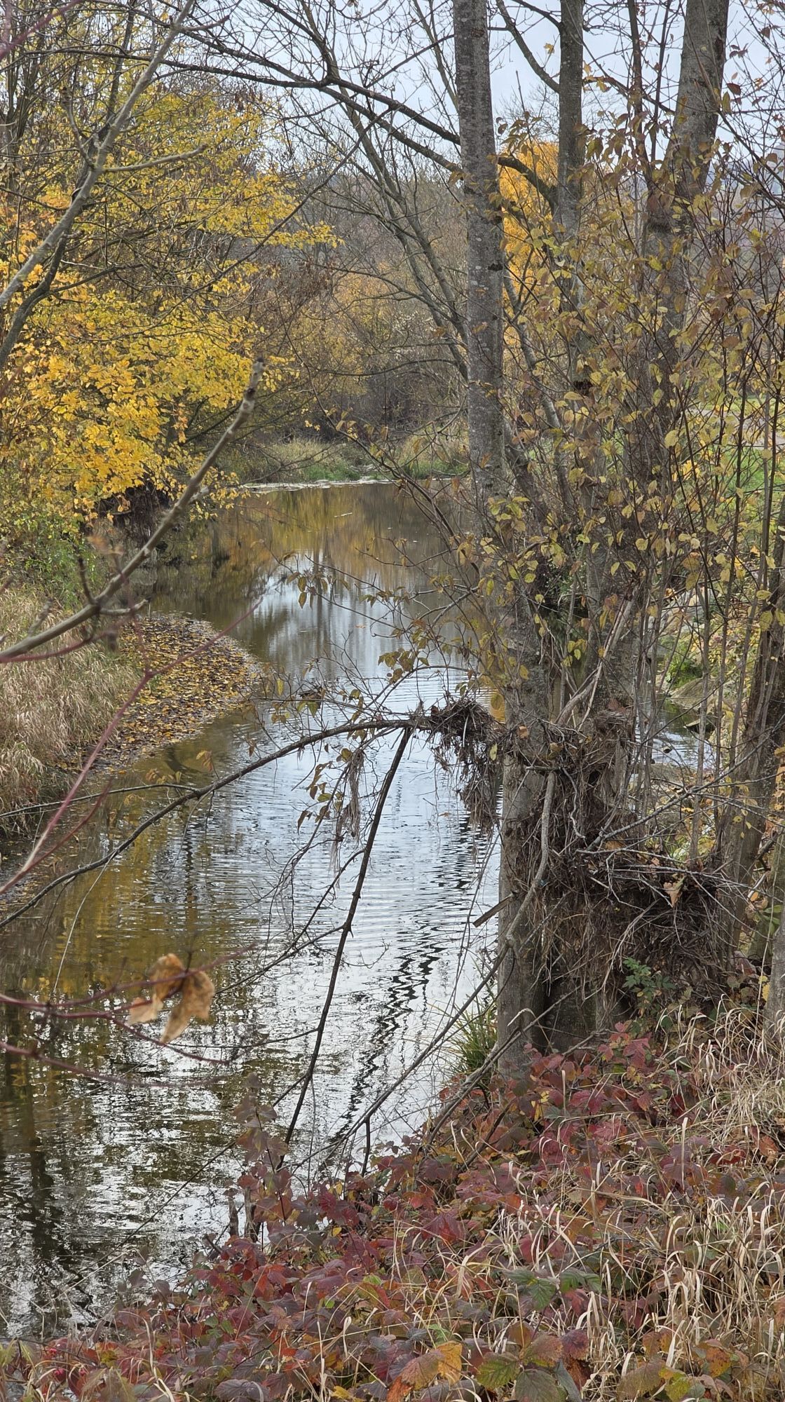
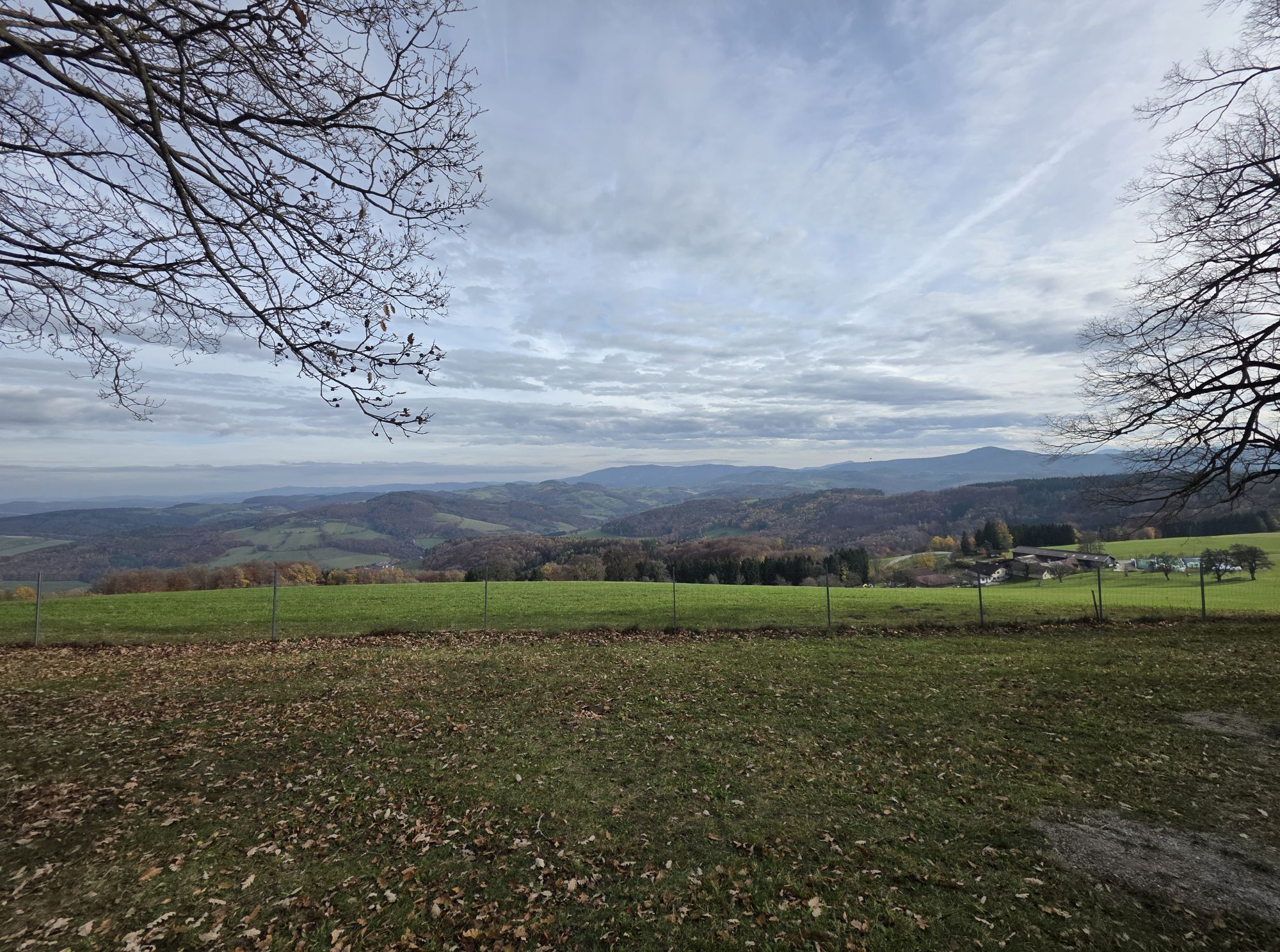
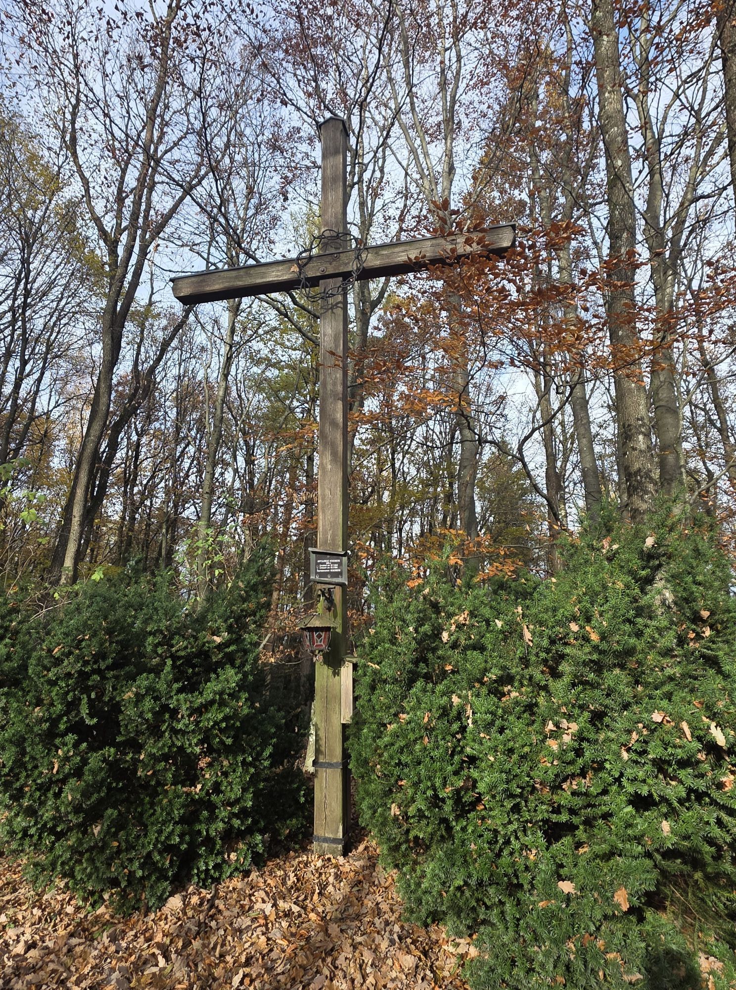
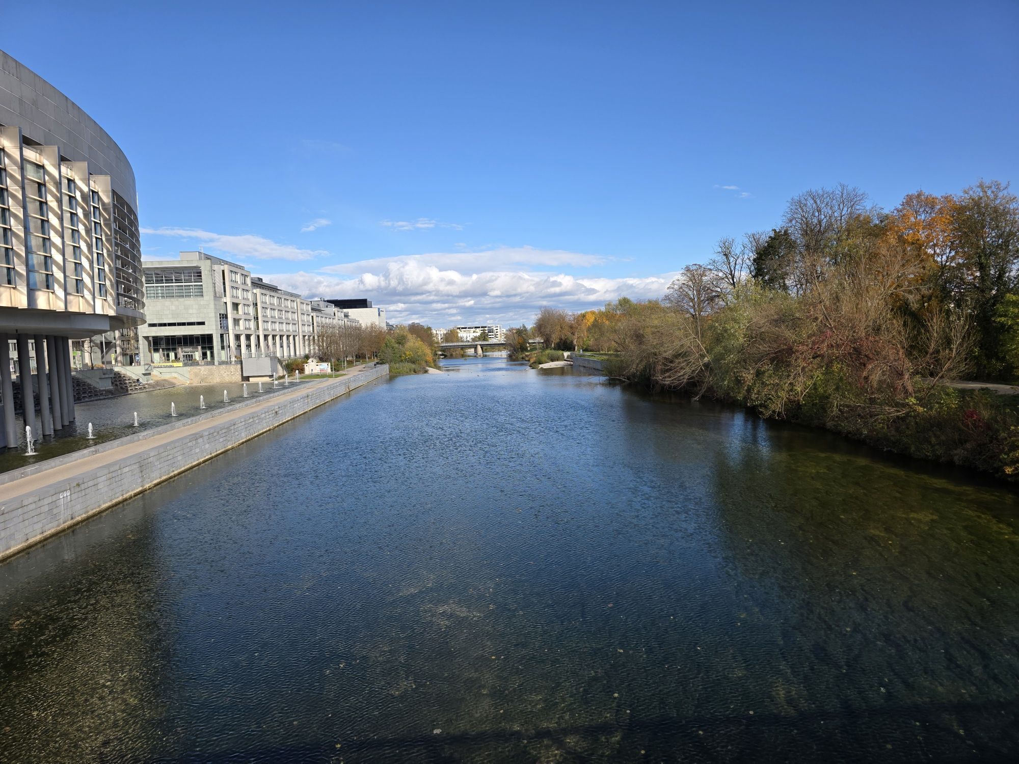
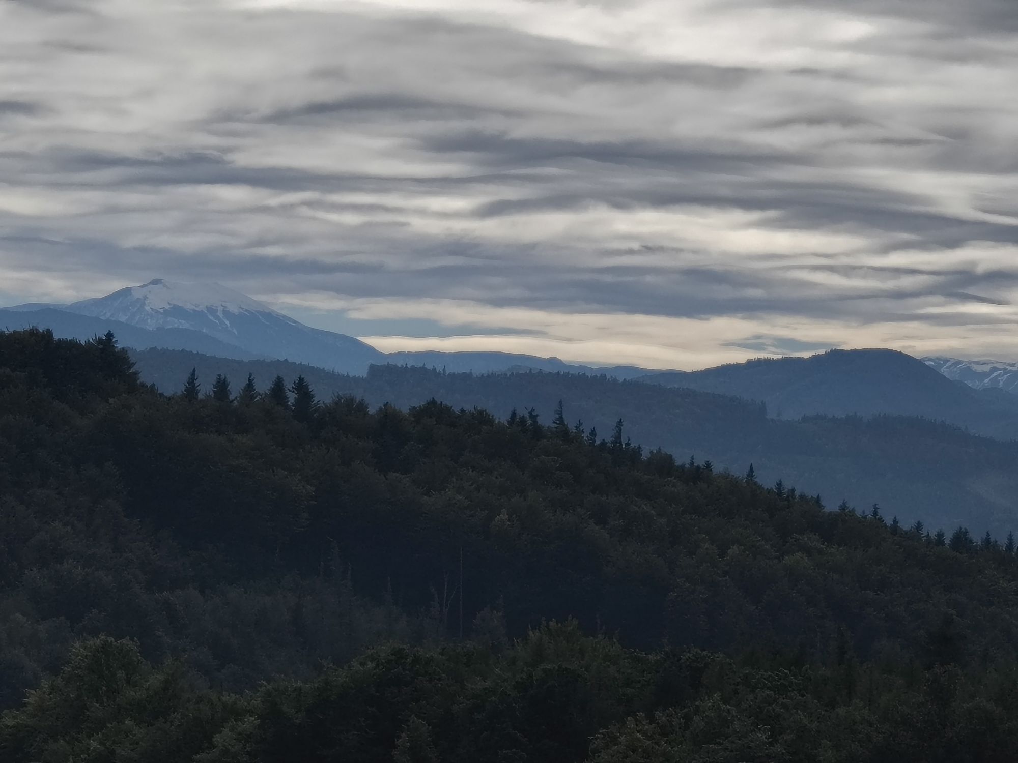

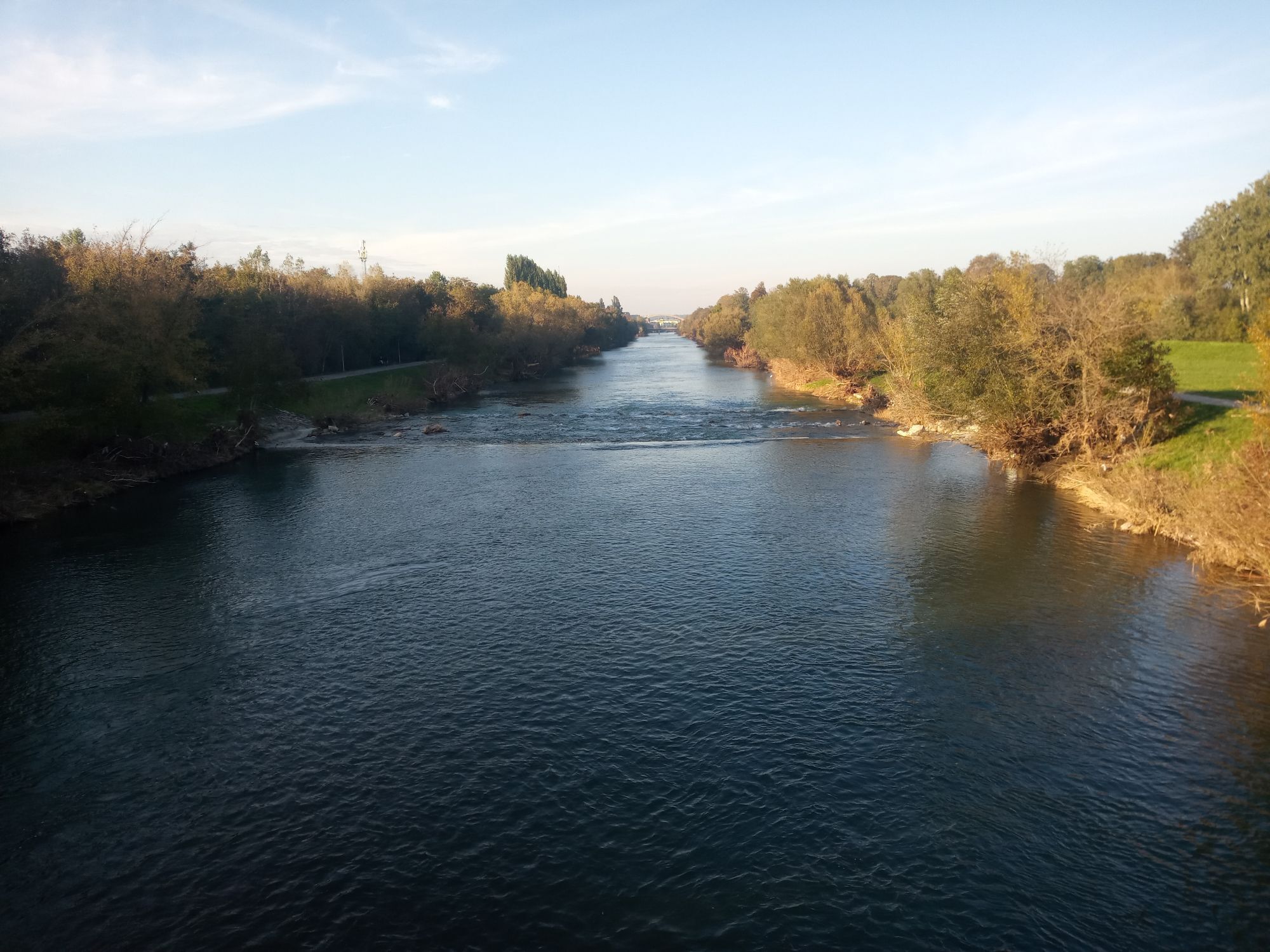
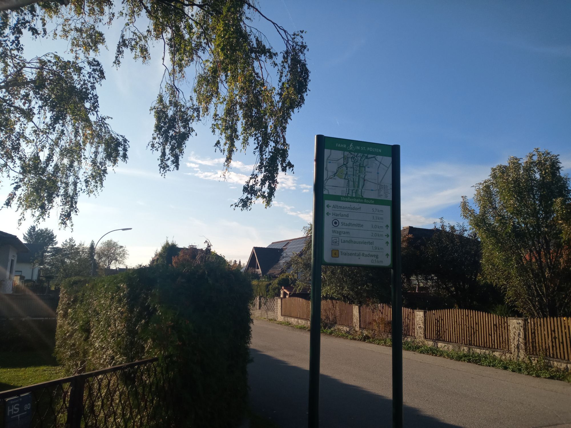
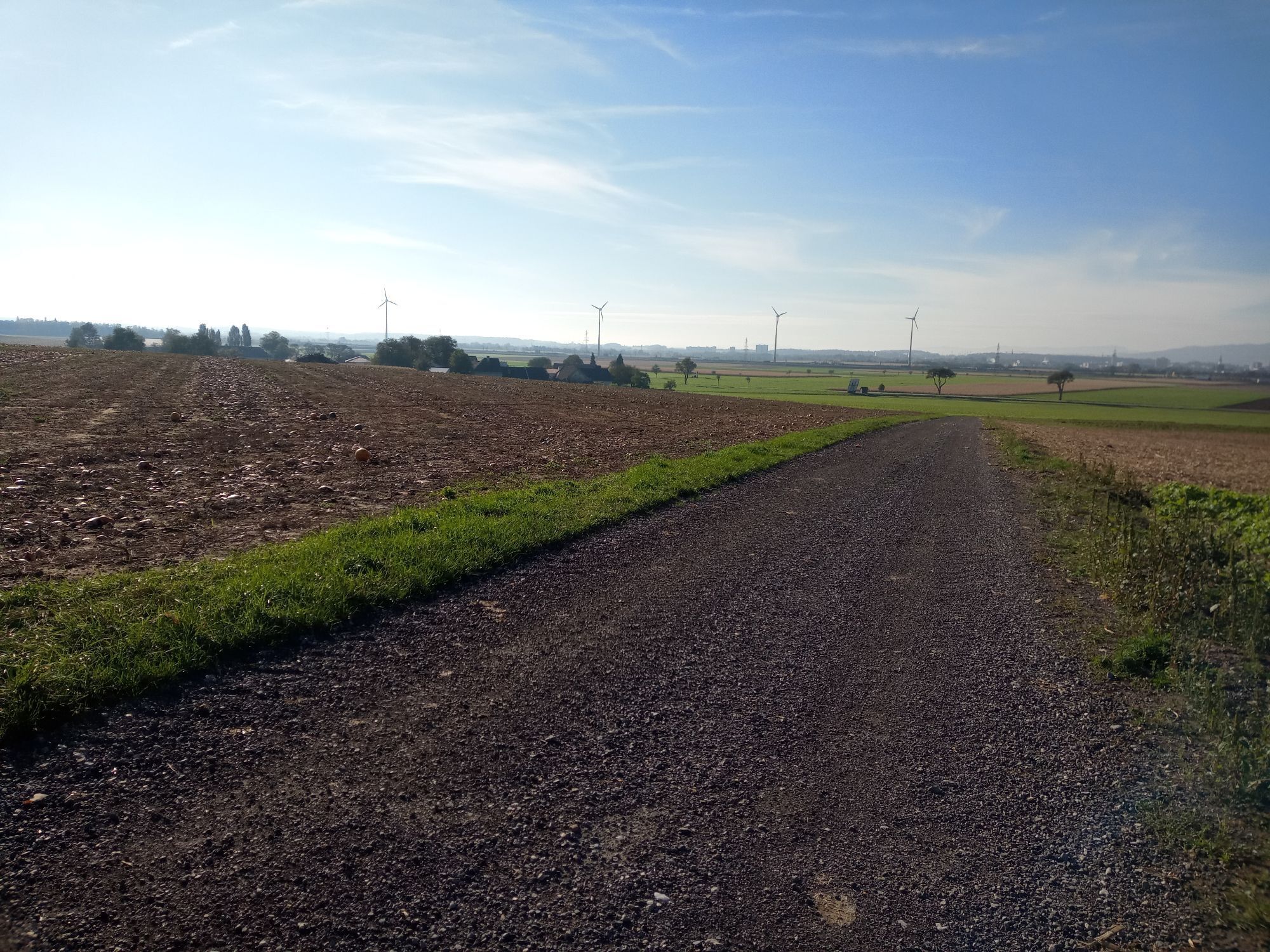
From St. Pölten, the route takes you through a varied landscape, rolling hills and picturesque villages before climbing steeply up to the Hegerberghütte at 650m. Once at the top, a rest stop with a fantastic...
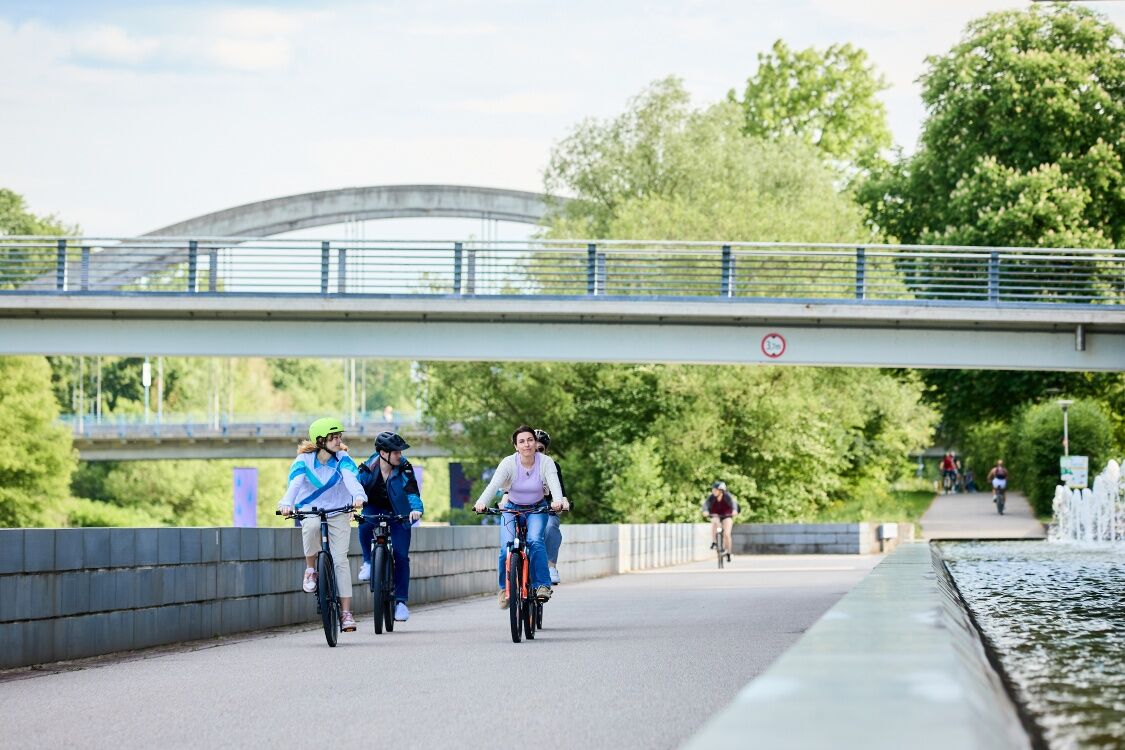
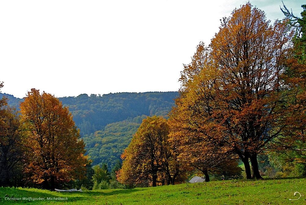
From St. Pölten, the route takes you through a varied landscape, rolling hills and picturesque villages before climbing steeply up to the Hegerberghütte at 650m. Once at the top, a rest stop with a fantastic view awaits.


Route: Starting point City Hall St. Pölten – Lions Bridge – via Altmannsdorfer
Bridge – Altmannsdorf – Schnabling – Pyhra – turn left in Heuberg –
gentle climb to Heuberg – down to Fahrafeld – turn right in Fahrafeld –
left at Mayerhöfen – continuously rising from 300 m above sea level to 650 m above sea level – Hegerberg hut – descent
via Mostheurigen Artner to the Stössingtal hut – Freiling – left on the main road
to Steinabruck – continue on cycle paths 413 and 411 to Gemersdorf – pre-alpine cycle path 1
to Untertiefenbach – south of Mechters – Reichgrüben – Egelsee – Lions Bridge –
Traisental cycle path – City Hall St. Pölten.
No special requirements for the bikes.
Please observe the road traffic regulations! Section Furth to Stattersdorf mostly gravel paths (partially soft after heavy rain). Scenic route, steep climb to Hegerberg not suitable for children.
West motorway A1, exit St. Pölten South/East
Access possible by bus or train to St. Pölten main station.
Underground car park Radhausplatz / Parking garage Karmeliterhof
Person responsible for the content of this route
St. Pölten Tourist Information
Rathausplatz 1, 3100 St. Pölten
Tel: +43 2742 333 5000 E-mail: tourismus@st-poelten.gv.at
www.stpoeltentourismus.at/radfahren
There is a challenging route with a steep, 3.4 km long climb to the Hegerberg hut.
Recommended stops include the Hegerberg hut and Stössingtal hut.
Uzyskaj wgląd
Zawsze na żywo z ponad 9 500 kamer internetowych. bergfex Jako użytkownik Pro, możesz teraz zobaczyć odpowiednie kamery internetowe dla wielu wycieczek w aplikacji wycieczki od. Pozwala to na bezpośredni podgląd aktualnych warunków.
Popularne wycieczki w okolicy
-
4,7
Schöpfl
światłoWędrówka 9,52 km -
4,5
Rundweg Ochsenburgerhütte
światłoWędrówka 7,60 km -
4,0
Schöpfl von Sankt Corona
średniWędrówka 10,1 km -
4,2
Hainfelder Hütte: Schöner Rundkurs abseits der Massen
światłoWędrówka 10,1 km -
4,4
Hegerberg
światłoWędrówka 8,06 km -
4,7
Rudolfshöhe drei Galgenweg Wilhelmsburg, Österreich
światłoWędrówka 8,04 km -
4,2
INNERMANZING Schoderleh Falkensteiner Htt. Hasenriegel Forsthof Edhof ret. 20230114
światłoWędrówka 13,1 km -
4,7
Schöpfl von Kammhöhe aus
światłoWędrówka 13,2 km -
3,8
Hainfelder Hütte - Angelos Touren
światłoWędrówka 7,11 km -
4,8
KAUMBERG Araburg zurück 20240419
światłoPrzechadzka 4 km
Wędrówki i tropienie


Nie przegap ofert i inspiracji na następne wakacje
Twój adres e-mail została dodana do listy mailingowej.





