







3-Lakes Experience and Traisenau Route
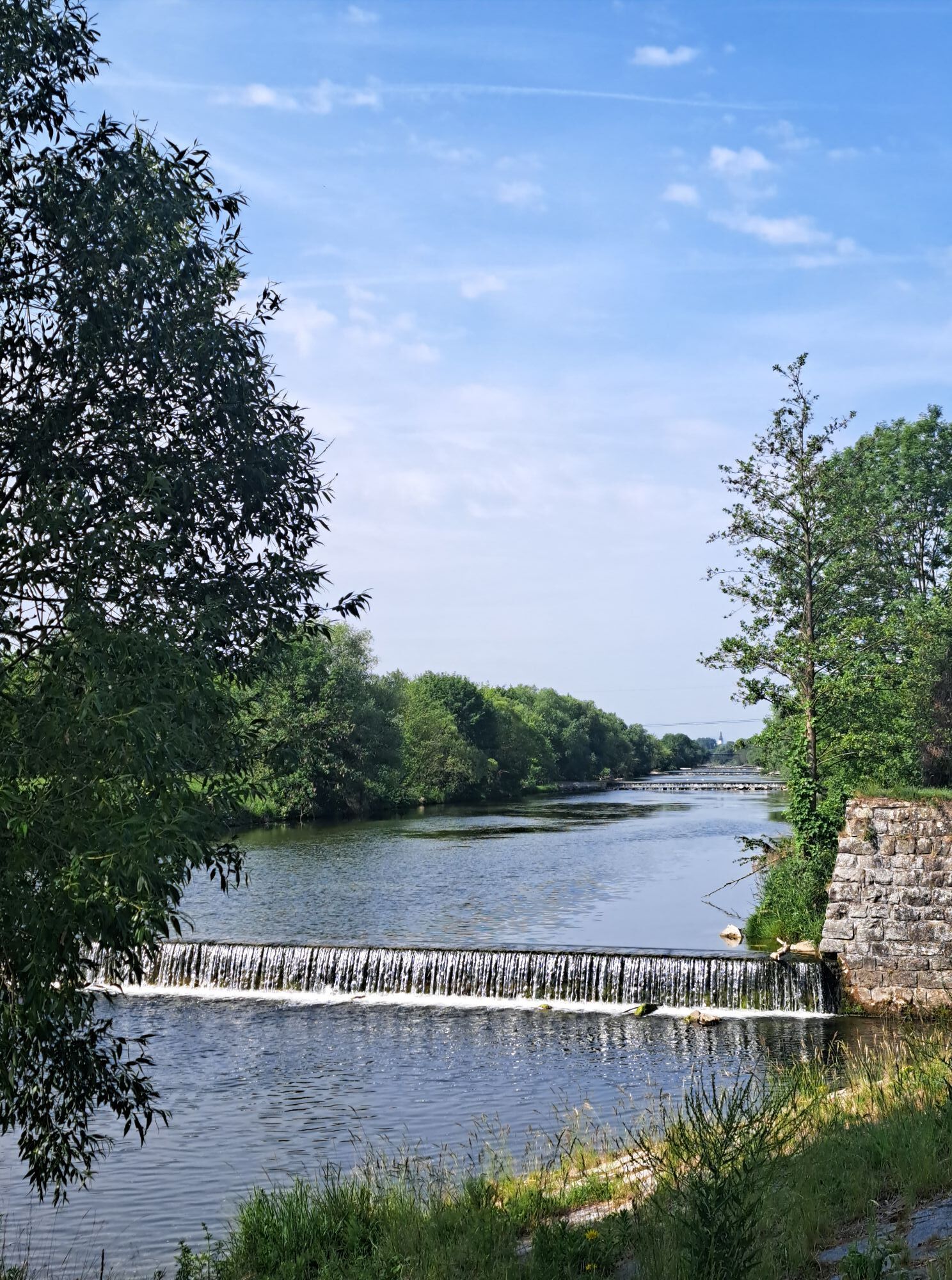
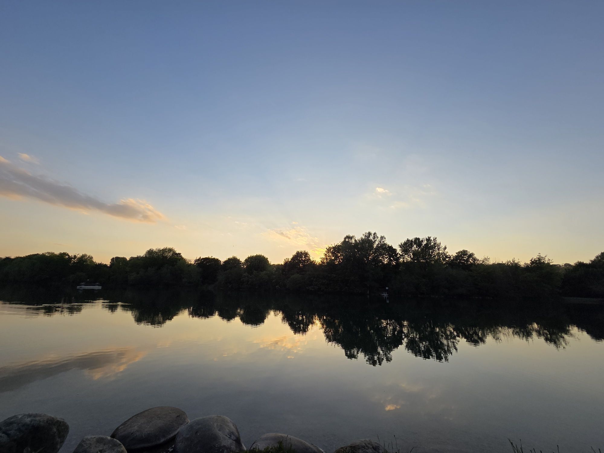
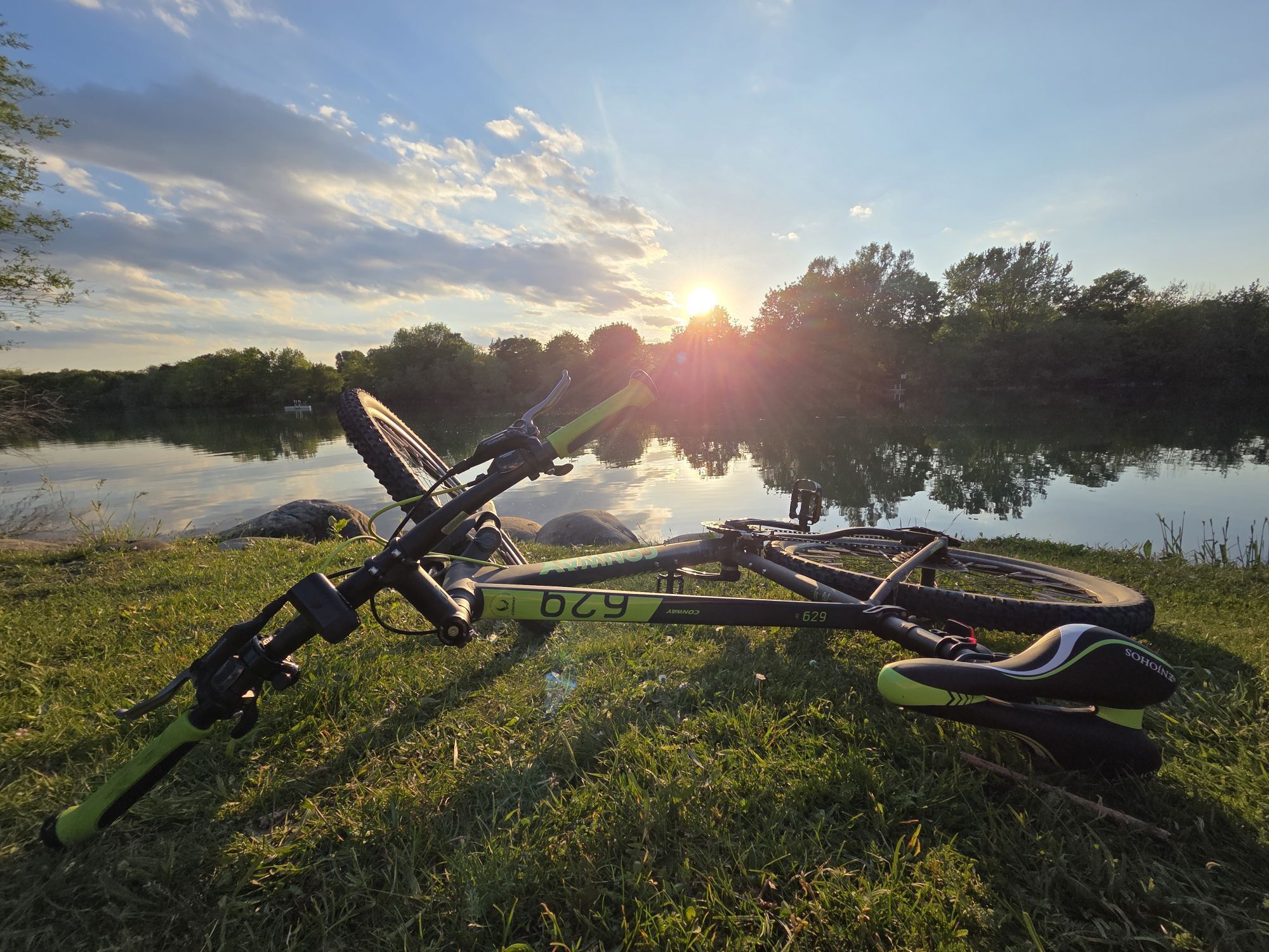
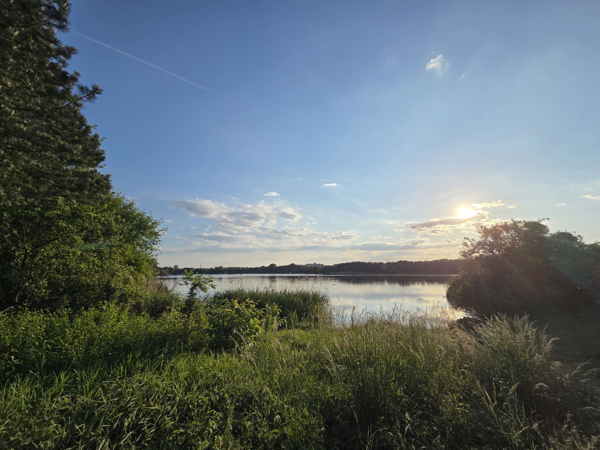
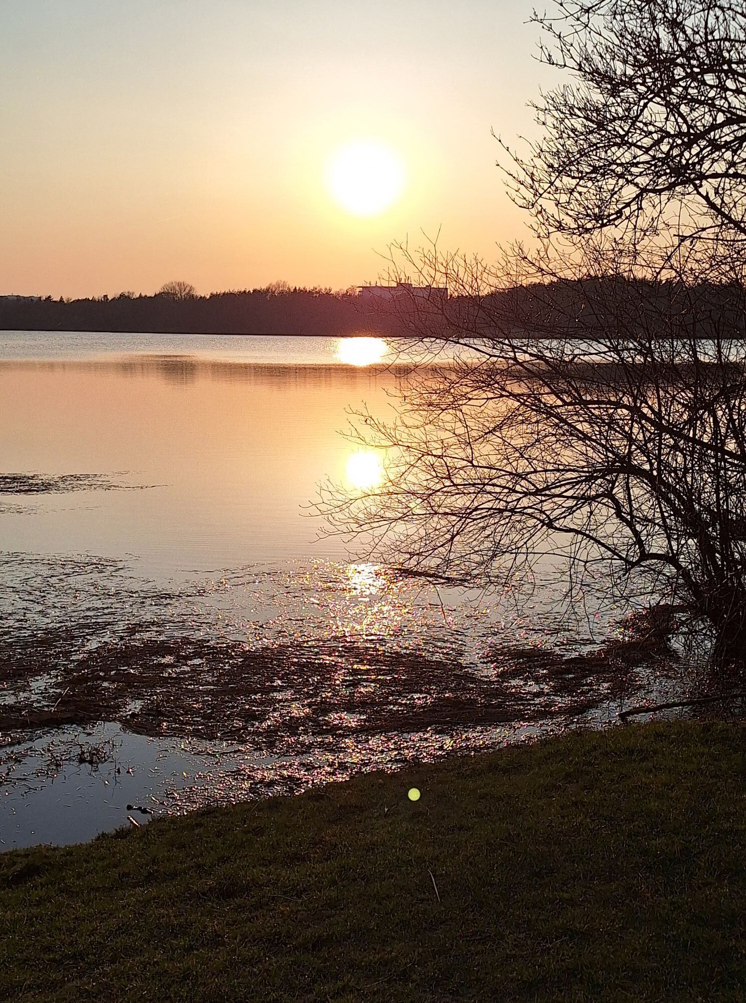
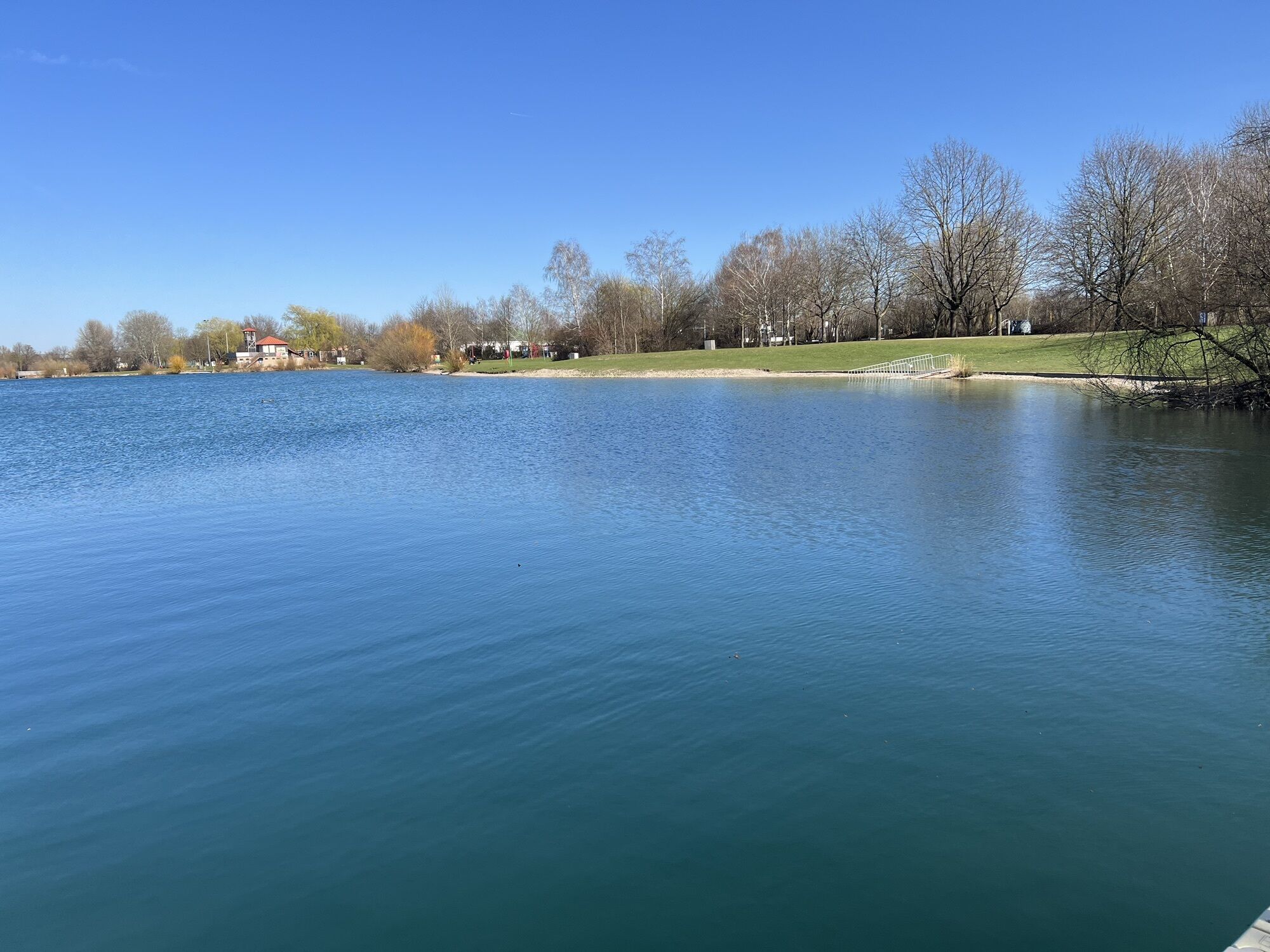
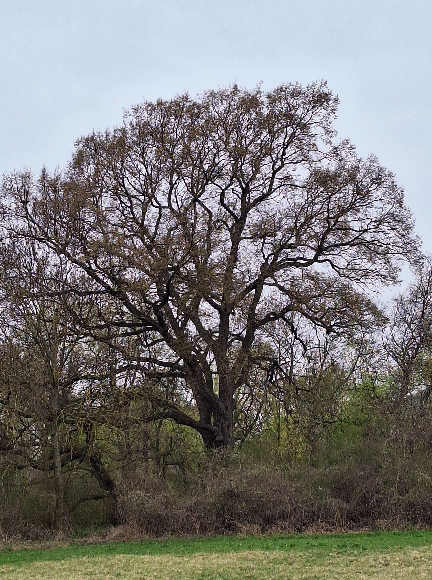
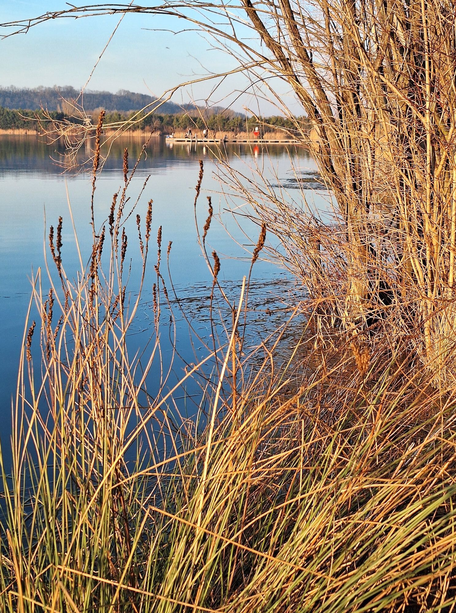
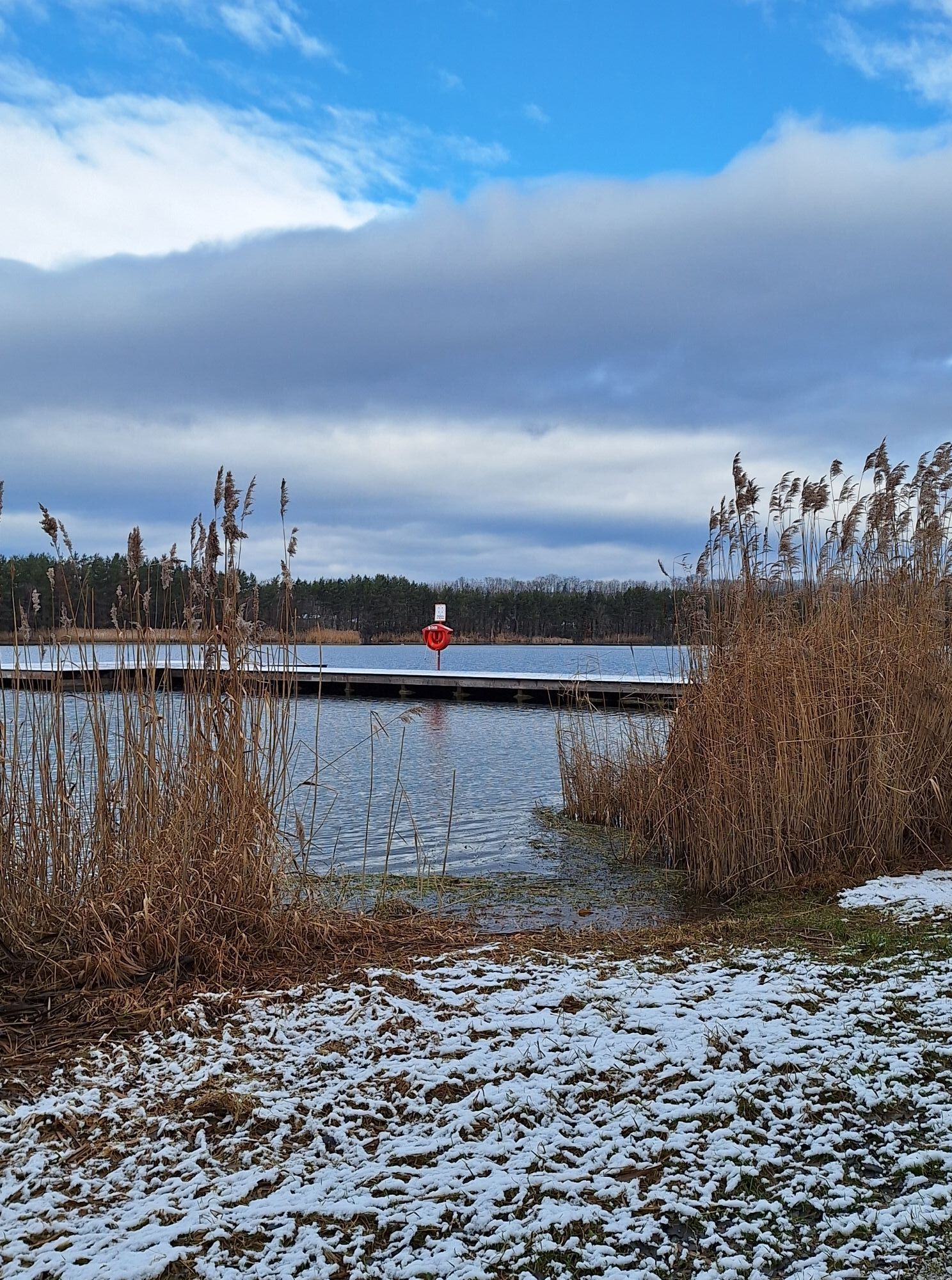
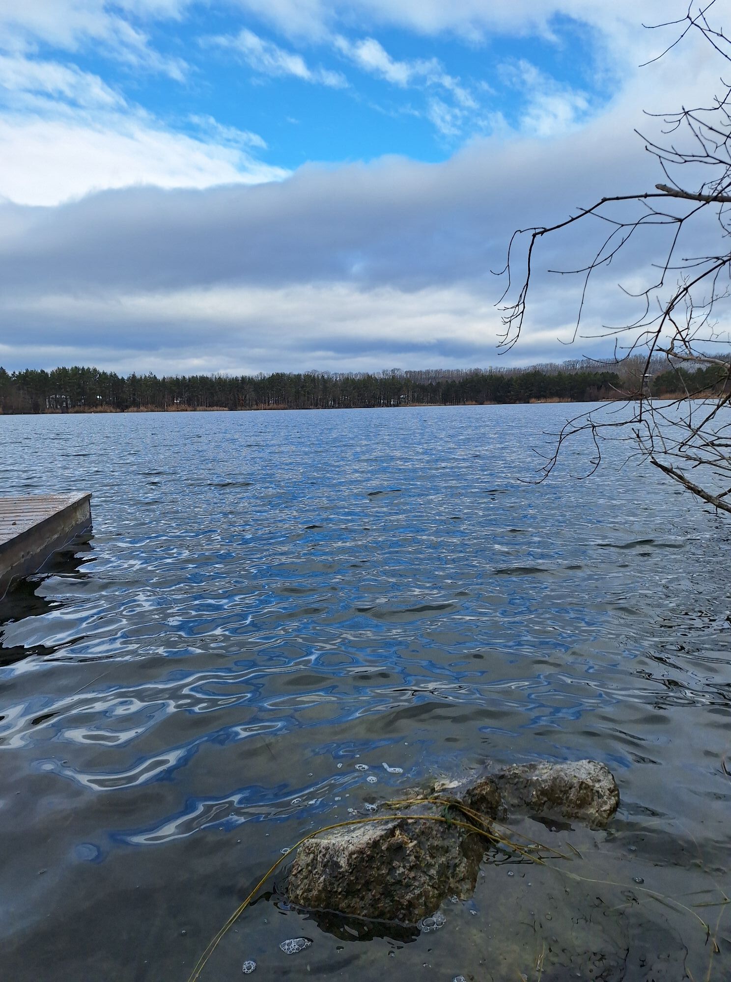
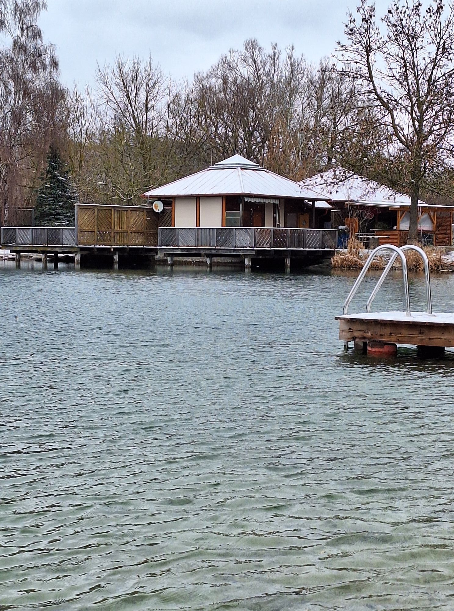
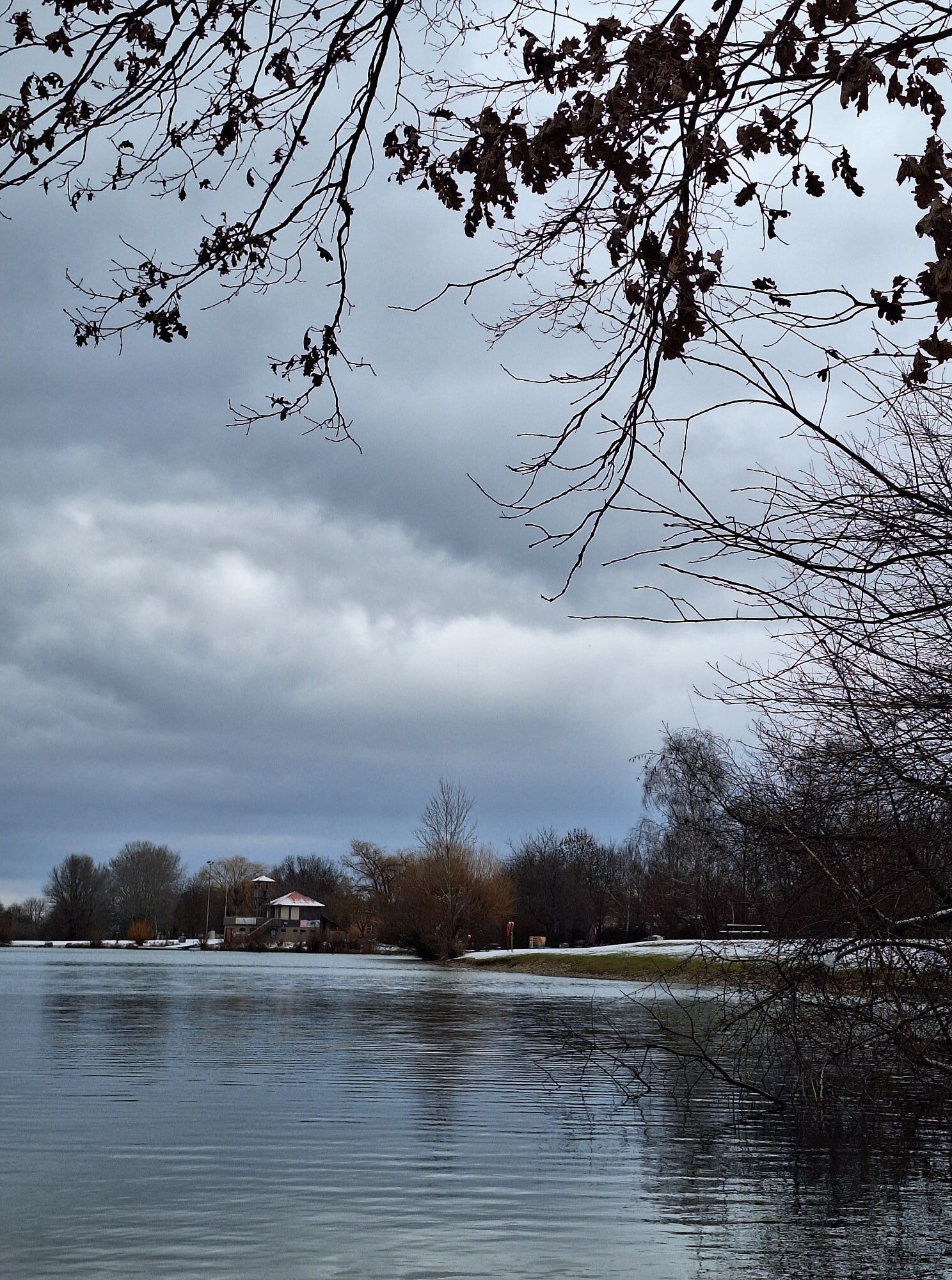
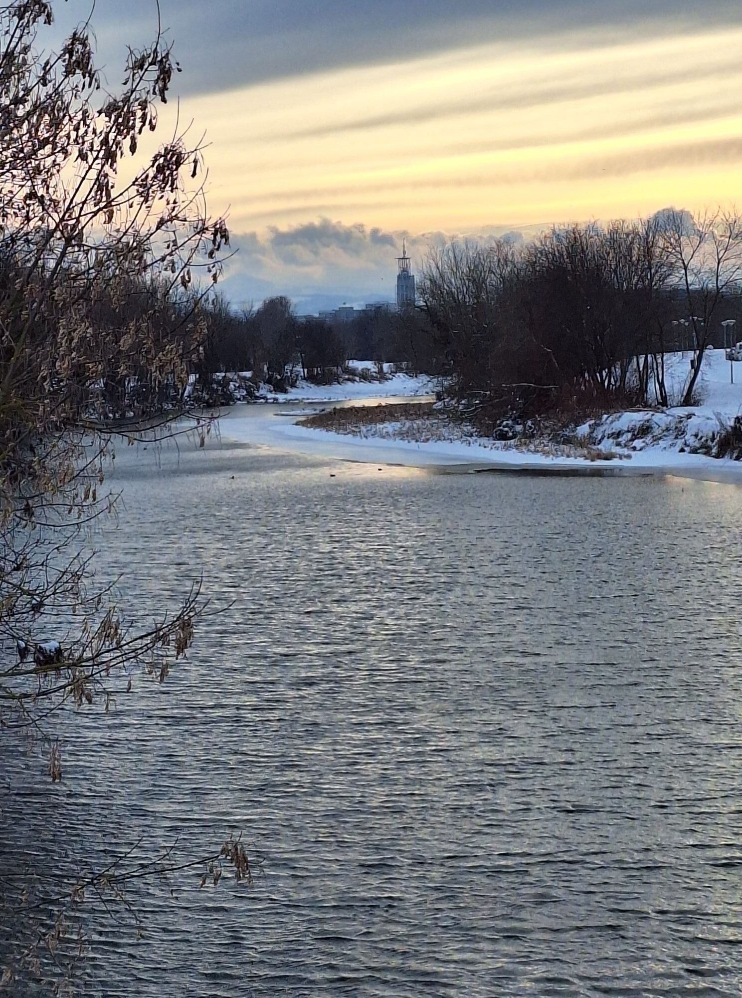
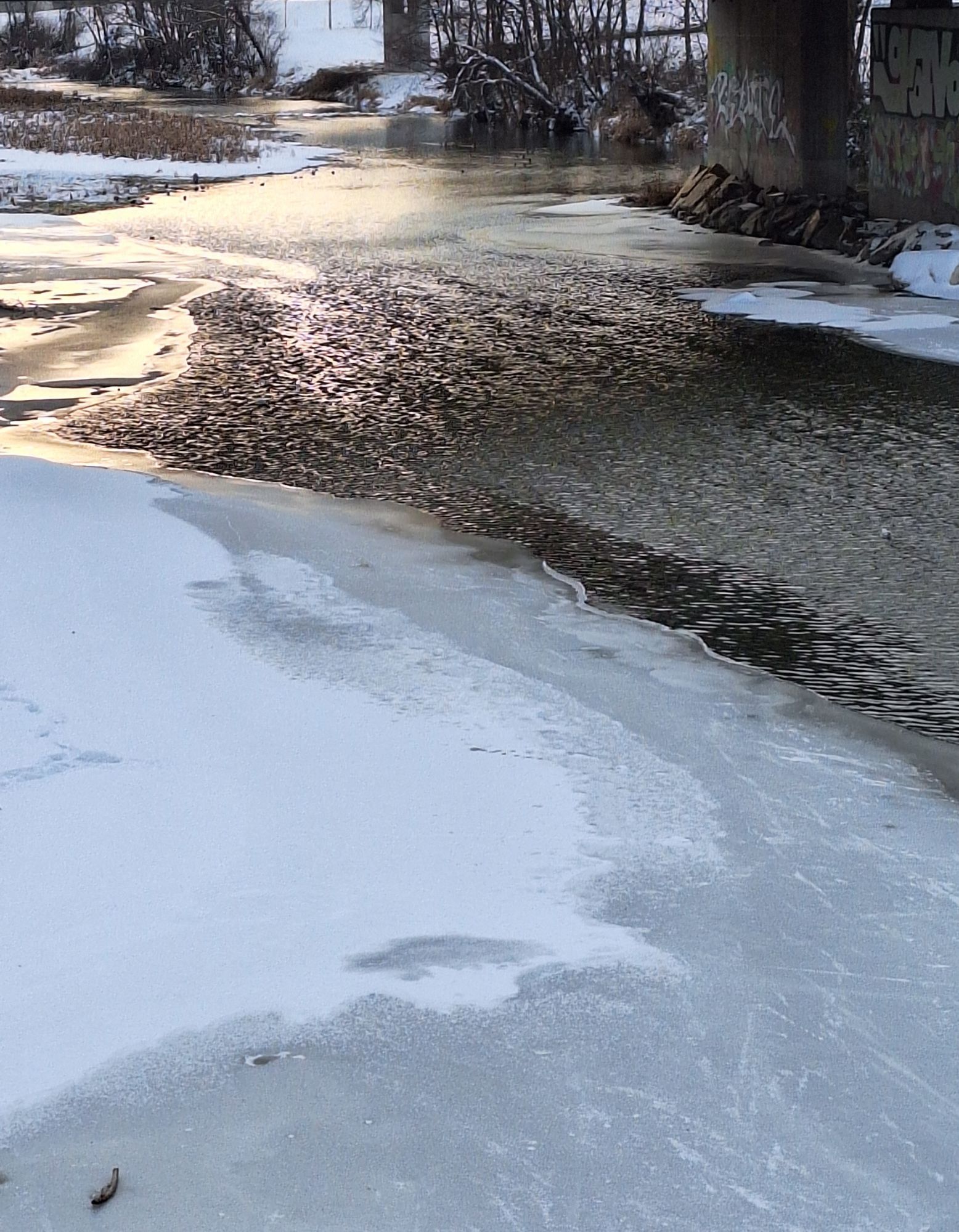
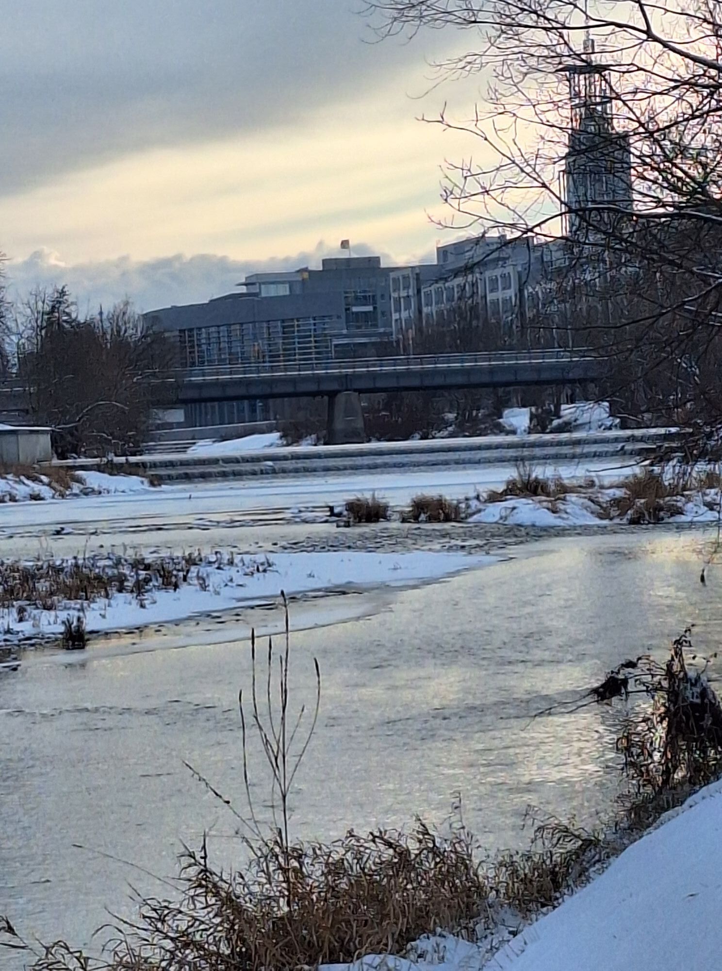
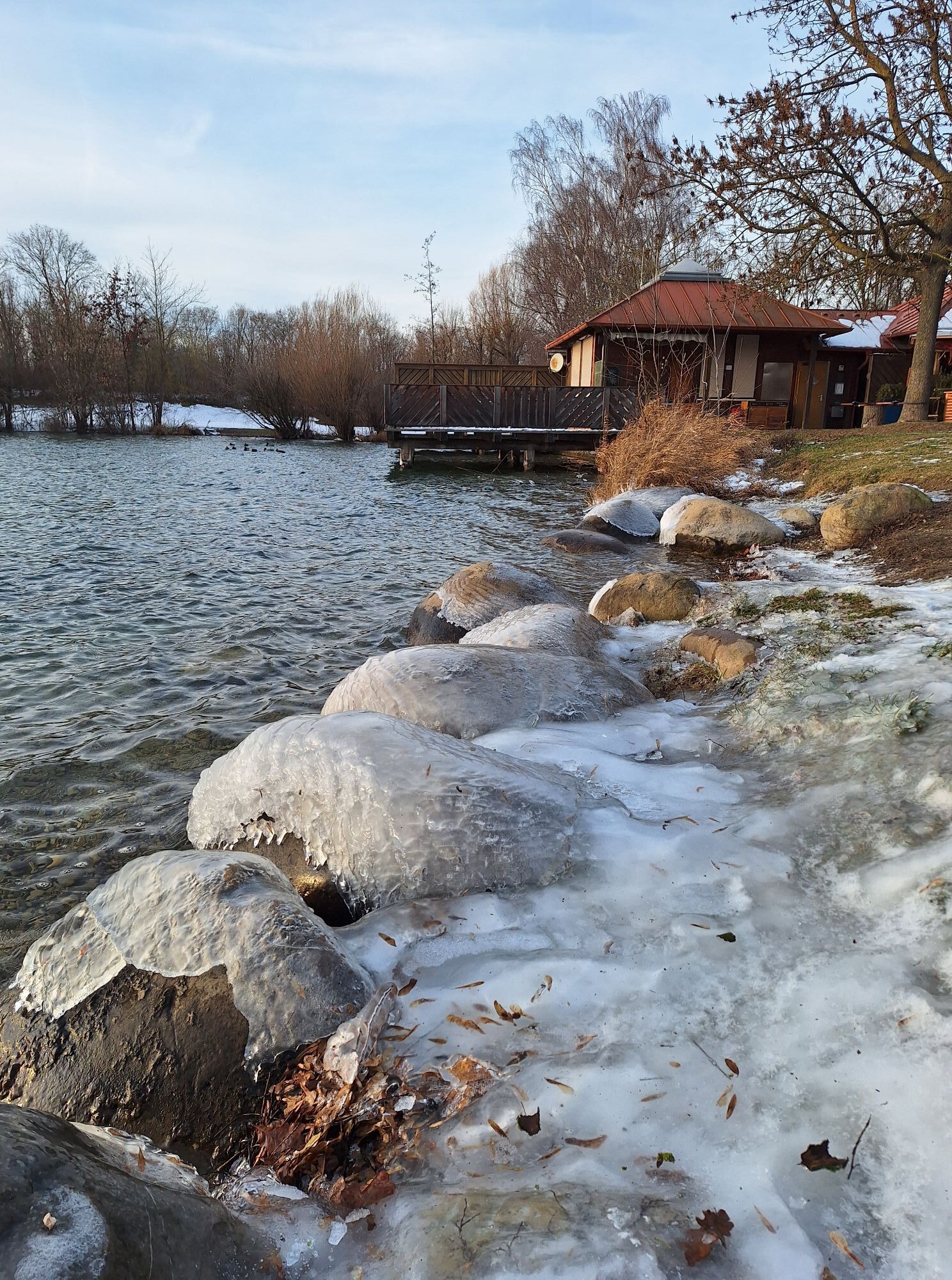
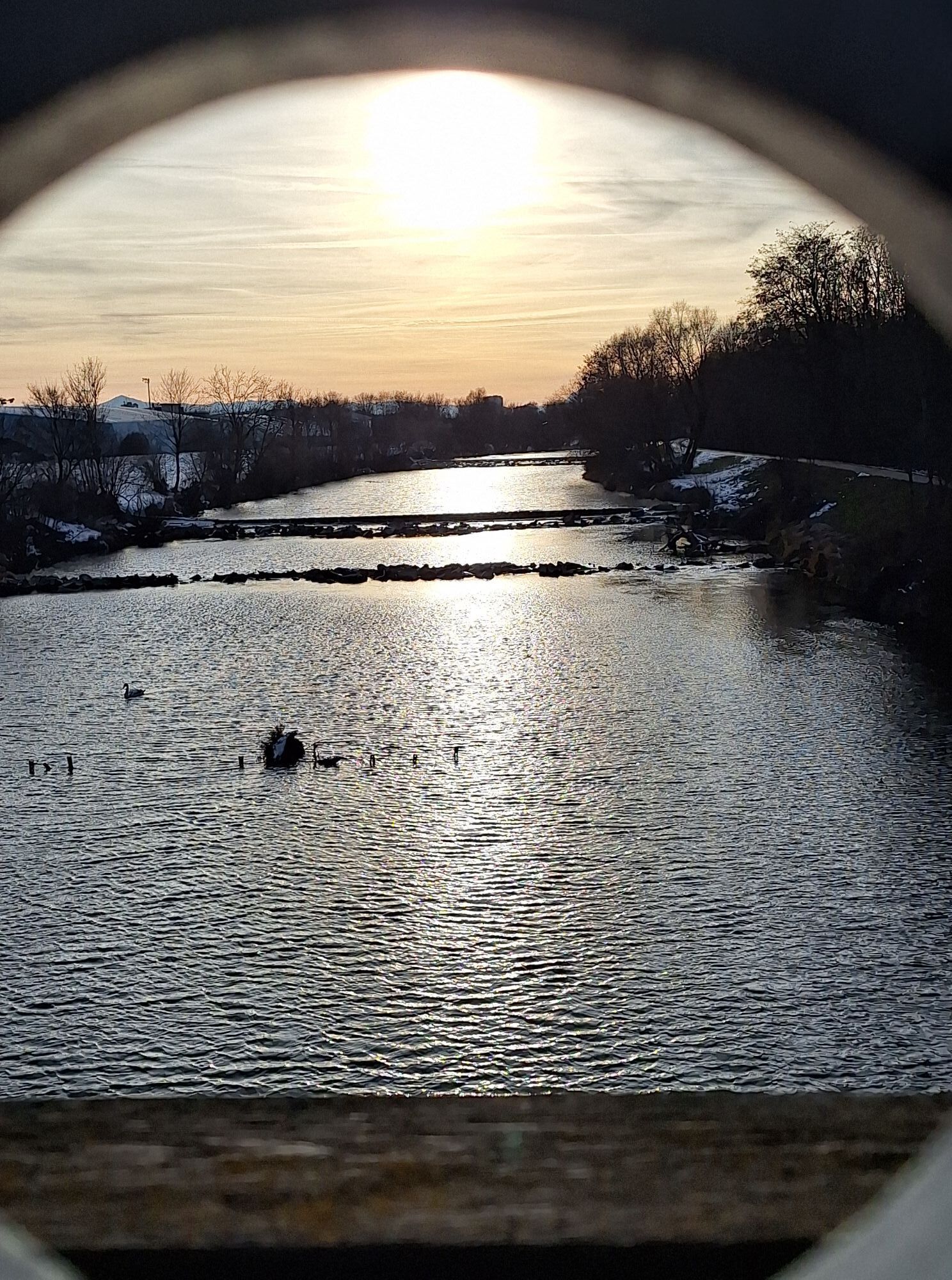
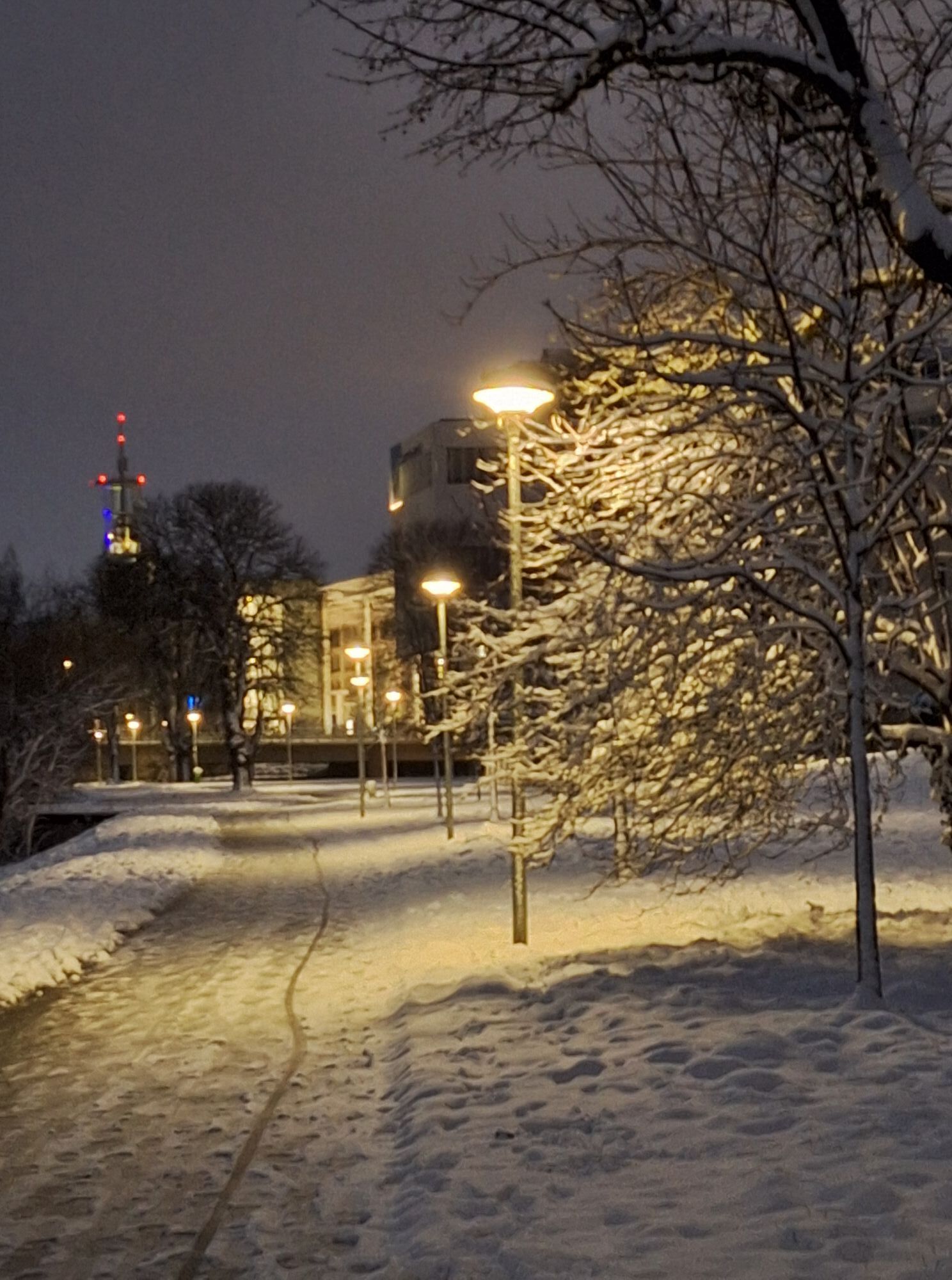
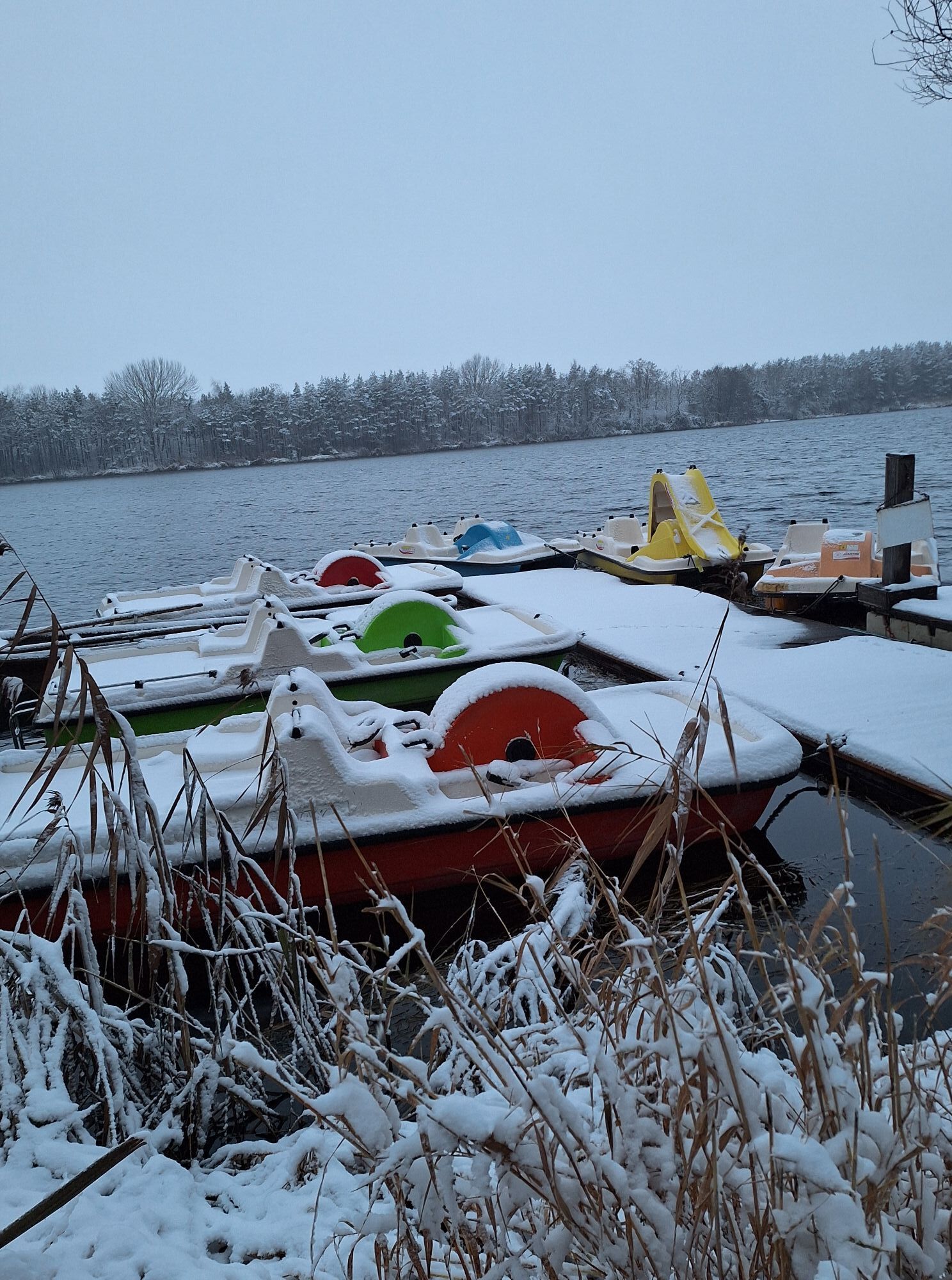
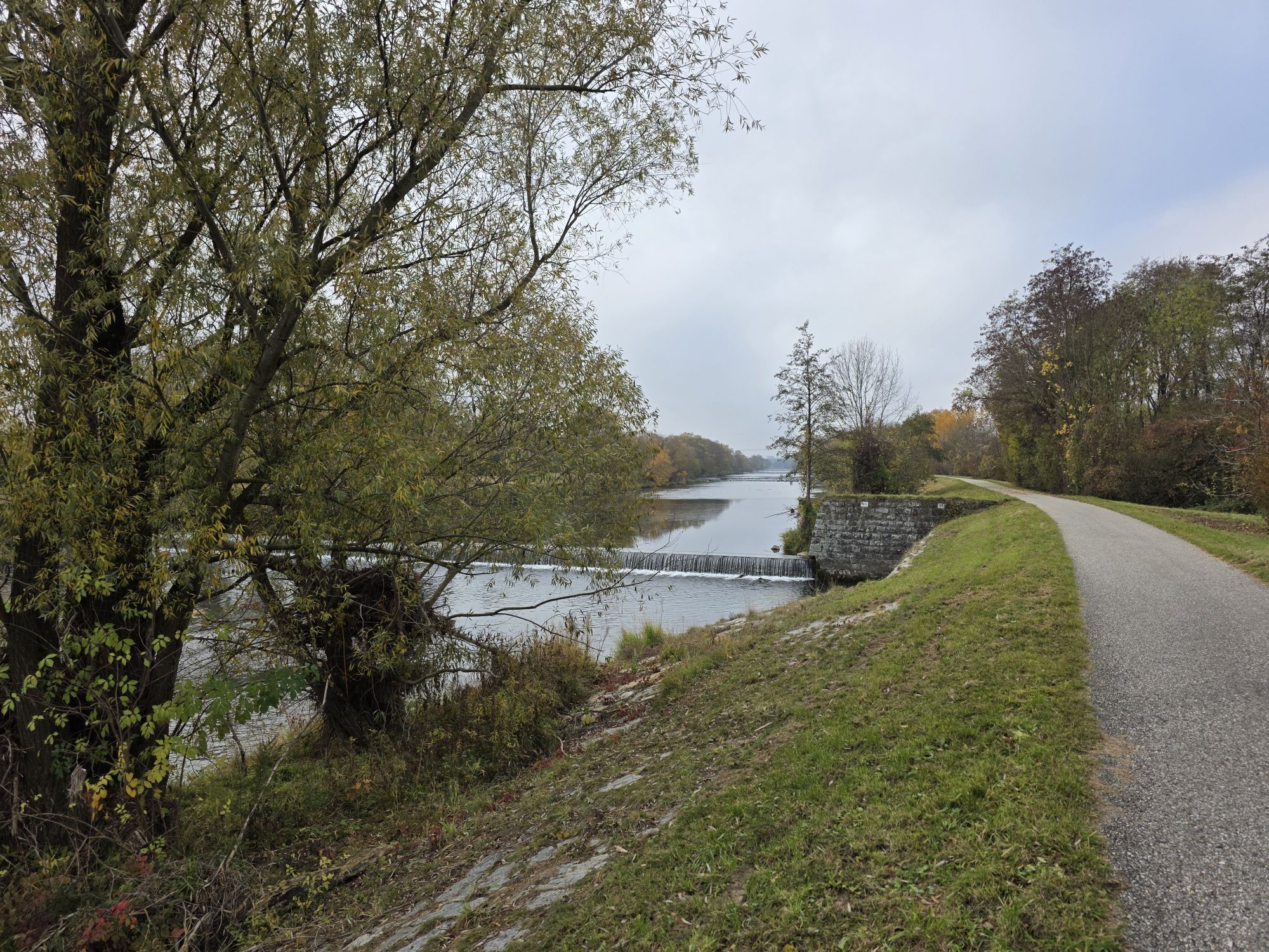
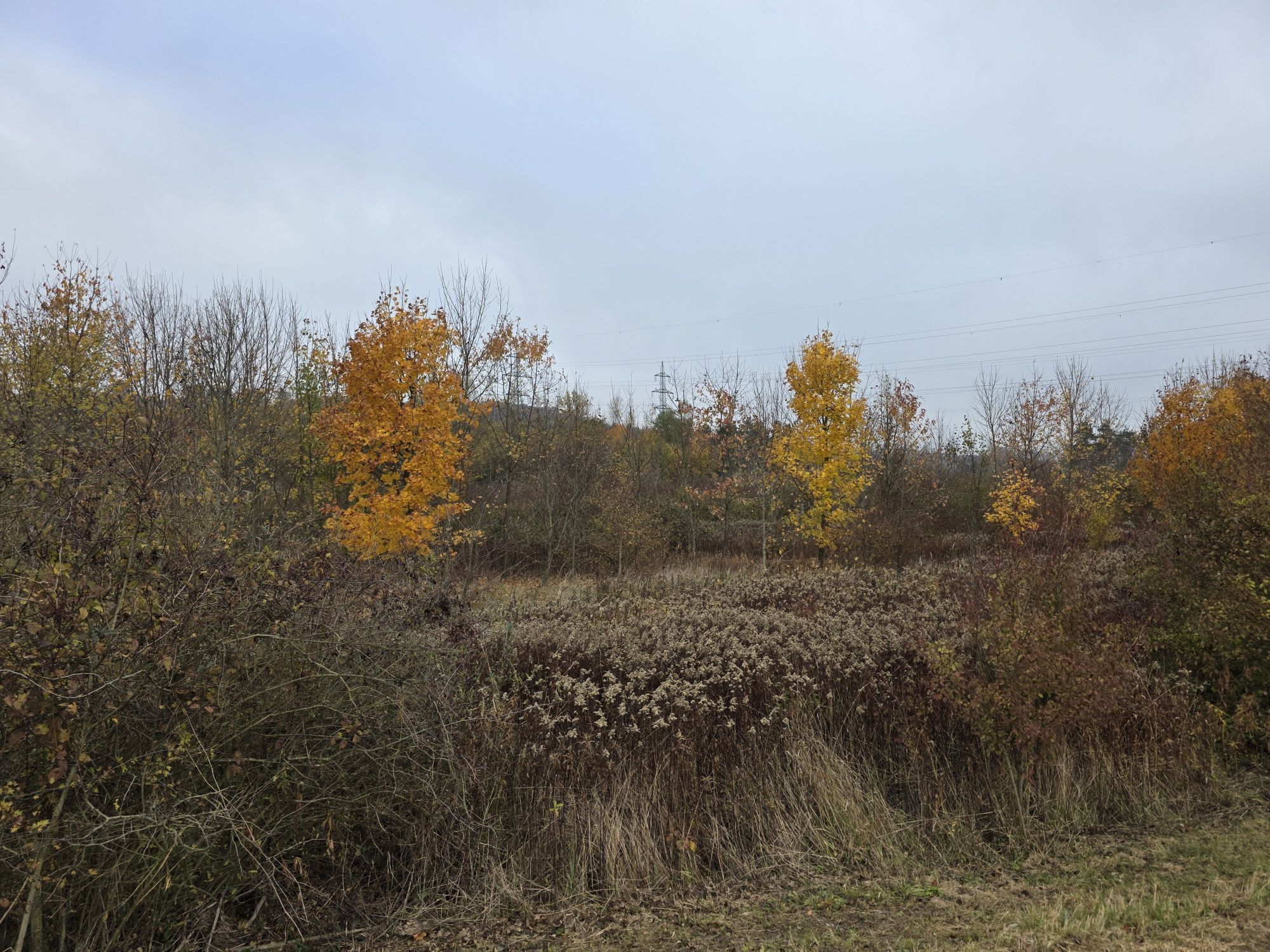
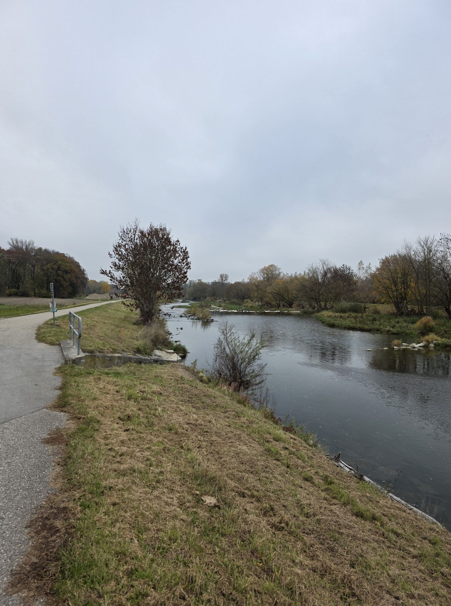
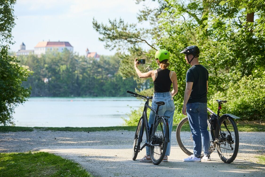
The cycle tour connects the most beautiful lakes around St. Pölten with the idyllic Traisenau. From the town hall, you cycle along the Traisental cycle route to the Viehofner lakes, on to the Feldmühle...
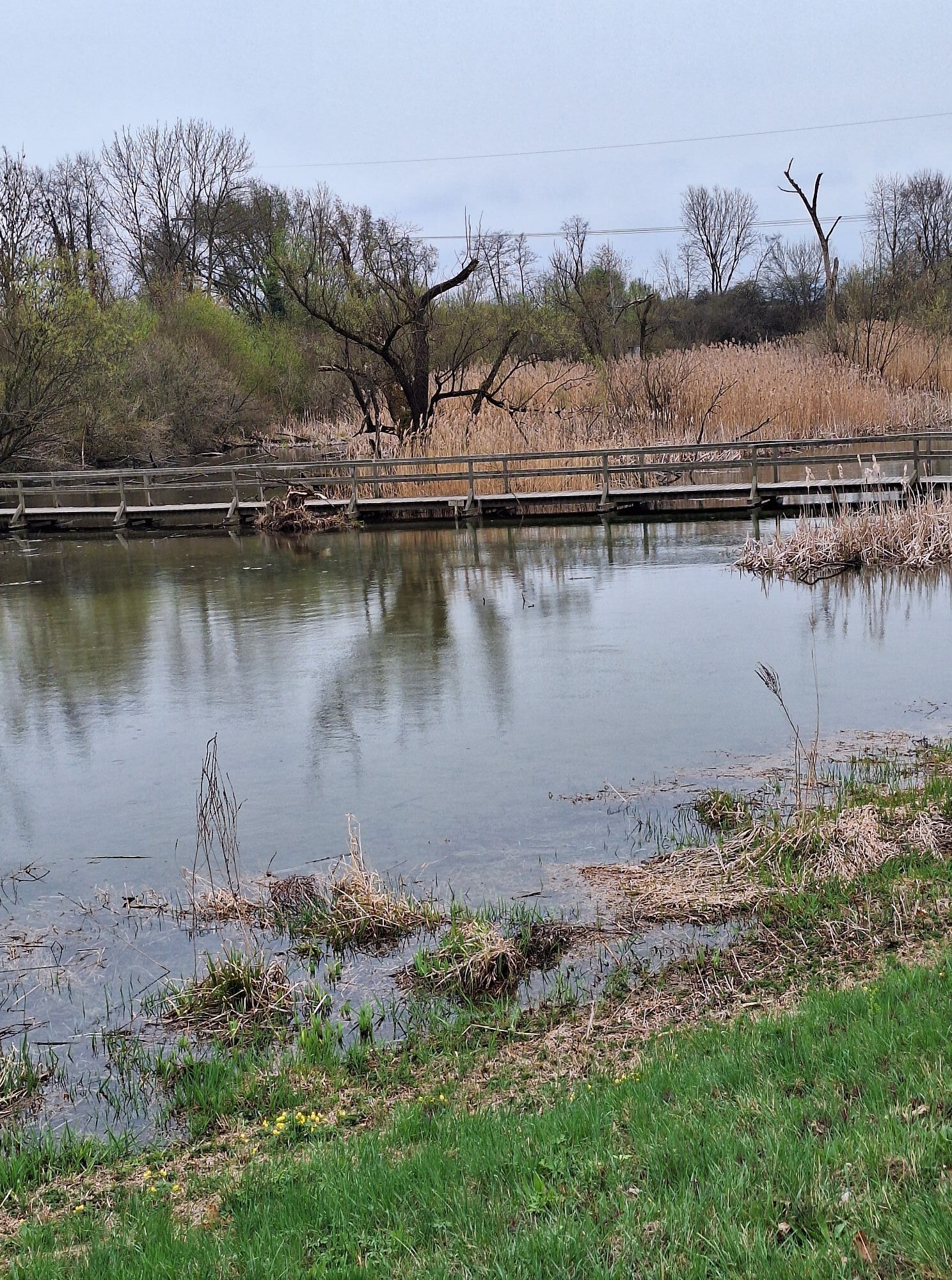
The cycle tour connects the most beautiful lakes around St. Pölten with the idyllic Traisenau. From the town hall, you cycle along the Traisental cycle route to the Viehofner lakes, on to the Feldmühle and Ratzersdorfer See. Perfect for relaxing breaks and enjoying nature.


Route: Starting point City Hall St. Pölten – Dr.-Karl-Renner-Promenade – Hammerweg – Landhausviertel – Traisental cycle path – Viehofner Lakes (these are circled) – back to the Traisental cycle path – downstream – Radlbrunner Bridge – upstream – Nature trail Feldmühle (information stand) – Ratzersdorf leisure center – Lower Austria sports center – allotment gardens – Wagramer footbridge – Westbahnallee – Bischof pond – City Hall.
No special requirements for the bikes. Helmets are mandatory for children under 12.
Please observe the traffic regulations! Groups with children are advised to get off the bike when crossing streets and push the bike together.
West motorway A1, exit St. Pölten South/East
Access via St. Pölten main station possible by bus or train.
Radhausplatz underground car park / Karmeliterhof parking garage
Responsible for the content of this route
St. Pölten Tourism Information
Rathausplatz 1, 3100 St. Pölten
Tel: +43 2742 333 5000 E-mail: tourismus@st-poelten.gv.at
www.stpoeltentourismus.at/radfahren
Recreational area Viehofner Lakes and Feldmühle, Ratzersdorf leisure center with sports facilities (mini golf, beach volleyball, tennis).
Popularne wycieczki w okolicy
-
4,4
Wachauer Marillenerlebnisweg, Krems-Angern
światłoWędrówka 6,04 km -
4,3
Mammutbäume, Waxenberg und Göttweig
średniWędrówka 12,1 km -
4,4
Hegerberg
światłoWędrówka 8,06 km -
3,9
Über den Göttweiger Walderlebnisweg zu den Mammutbäumen
światłoWędrówka 3,77 km -
4,8
Übers "Loamstückl" zur Wetterkreuzkirche
światłoWędrówka 6,83 km -
3,8
PAUDORF Göttweig Waxenberg Mammutbäume 20201018
średniWędrówka 15,6 km -
4,2
Drei-Seen-Runde St. Pölten
światłoWędrówka 5,02 km -
4,9
Traisental MTB Potpourri
średniMountainbike 27,9 km -
4,3
Über Sitzenberg-Reidling: Seelacke-Korkenzieher-Weinberge
średniWędrówka 11,1 km -
4,5
Wein - Schloss - Marille - Stiftblick
światłoWędrówka 5,26 km

Wędrówki i tropienie


Nie przegap ofert i inspiracji na następne wakacje
Twój adres e-mail została dodana do listy mailingowej.





