







Perschling valley cycle route
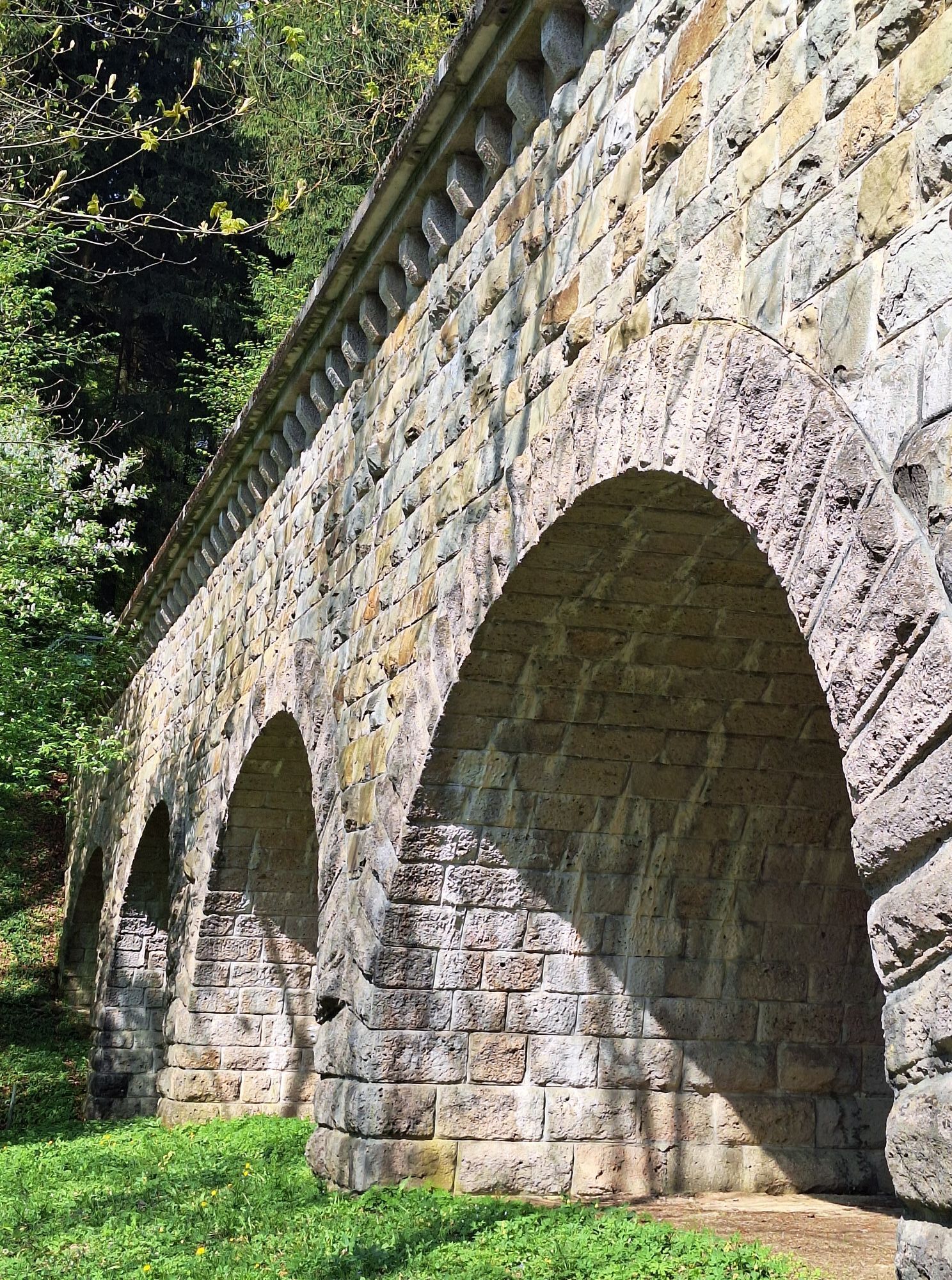
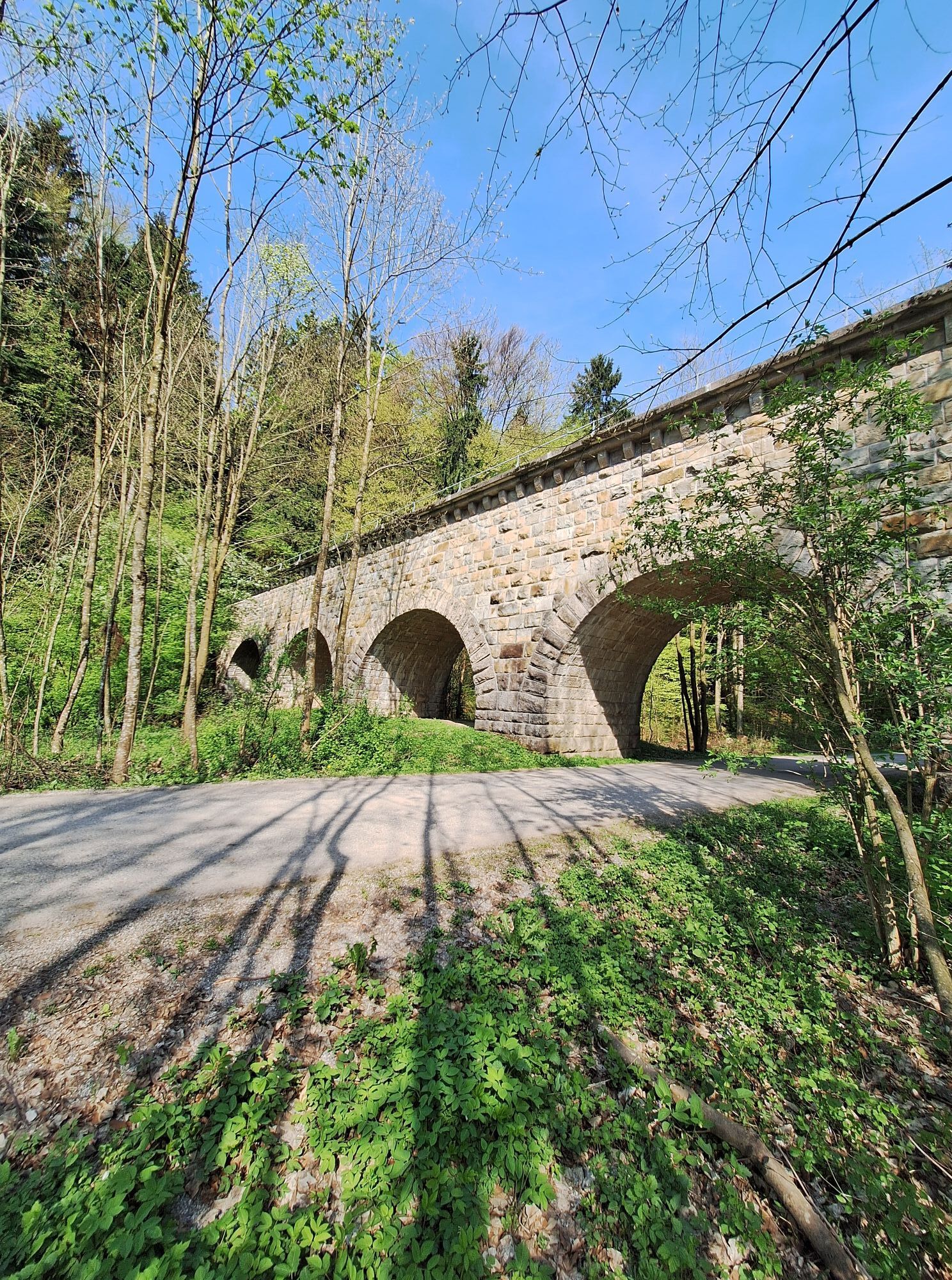

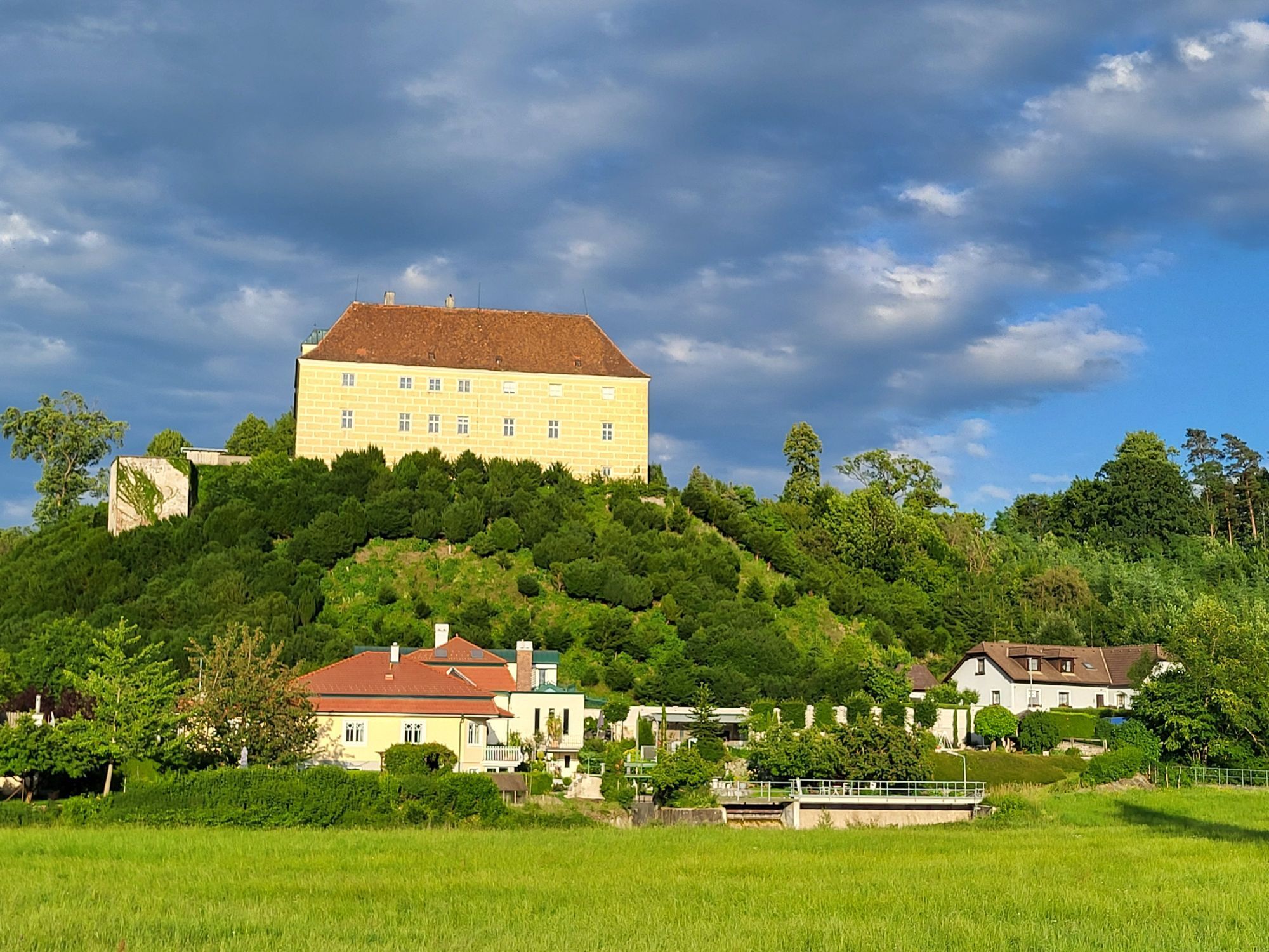

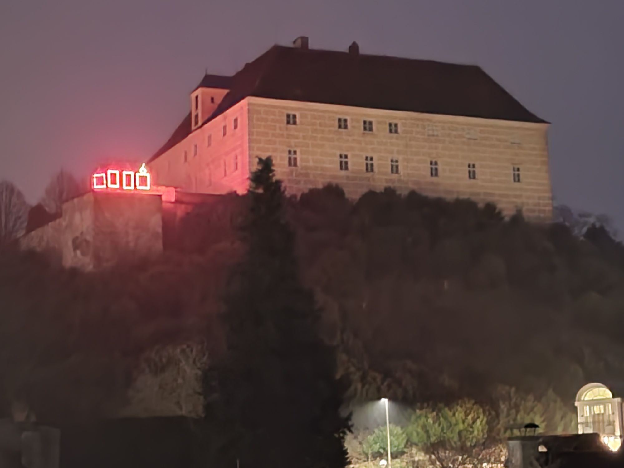
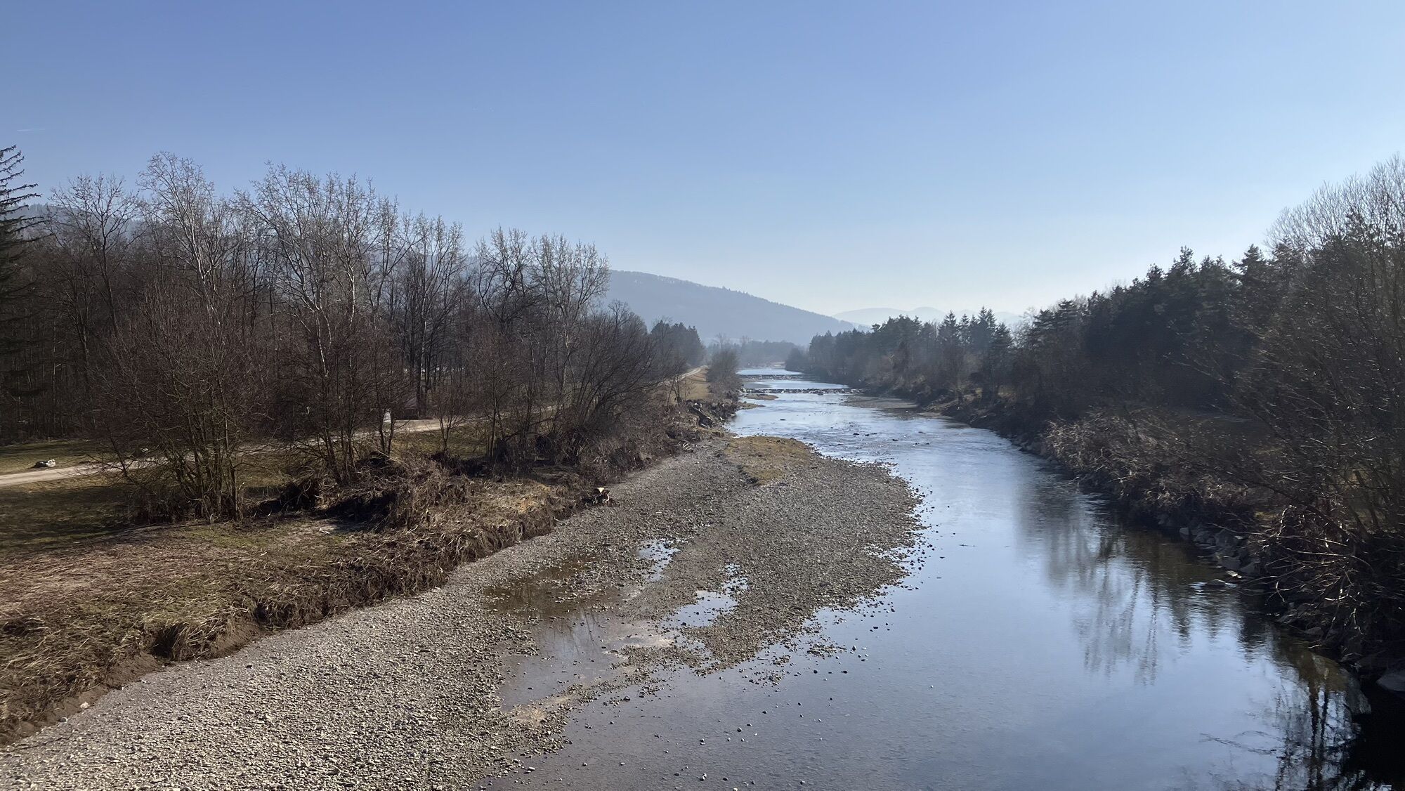
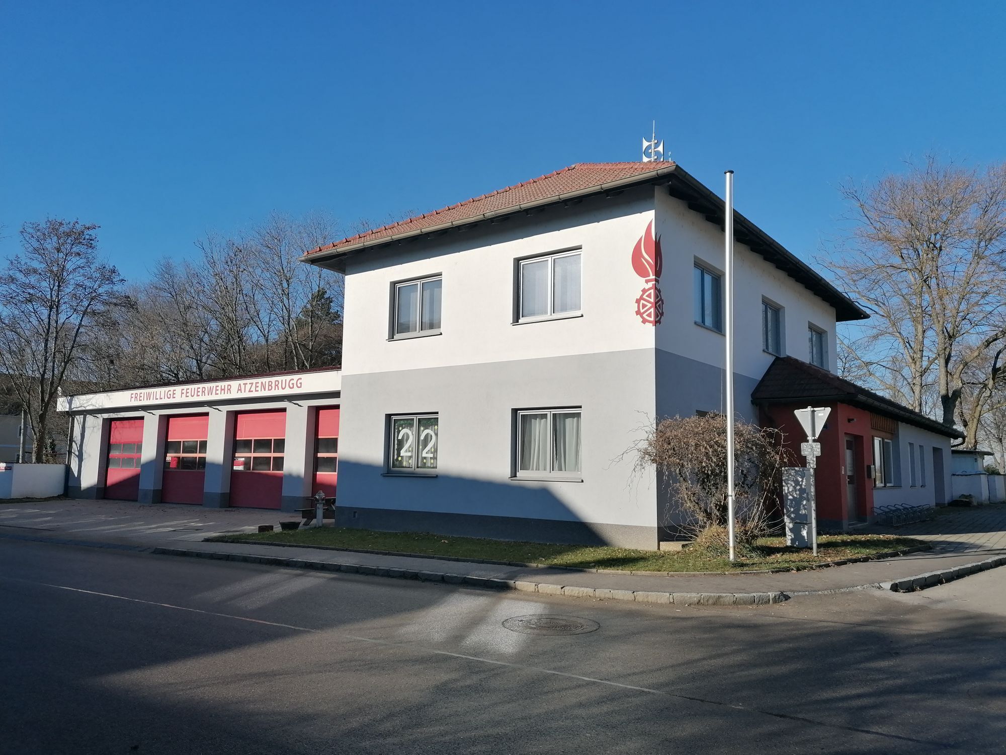
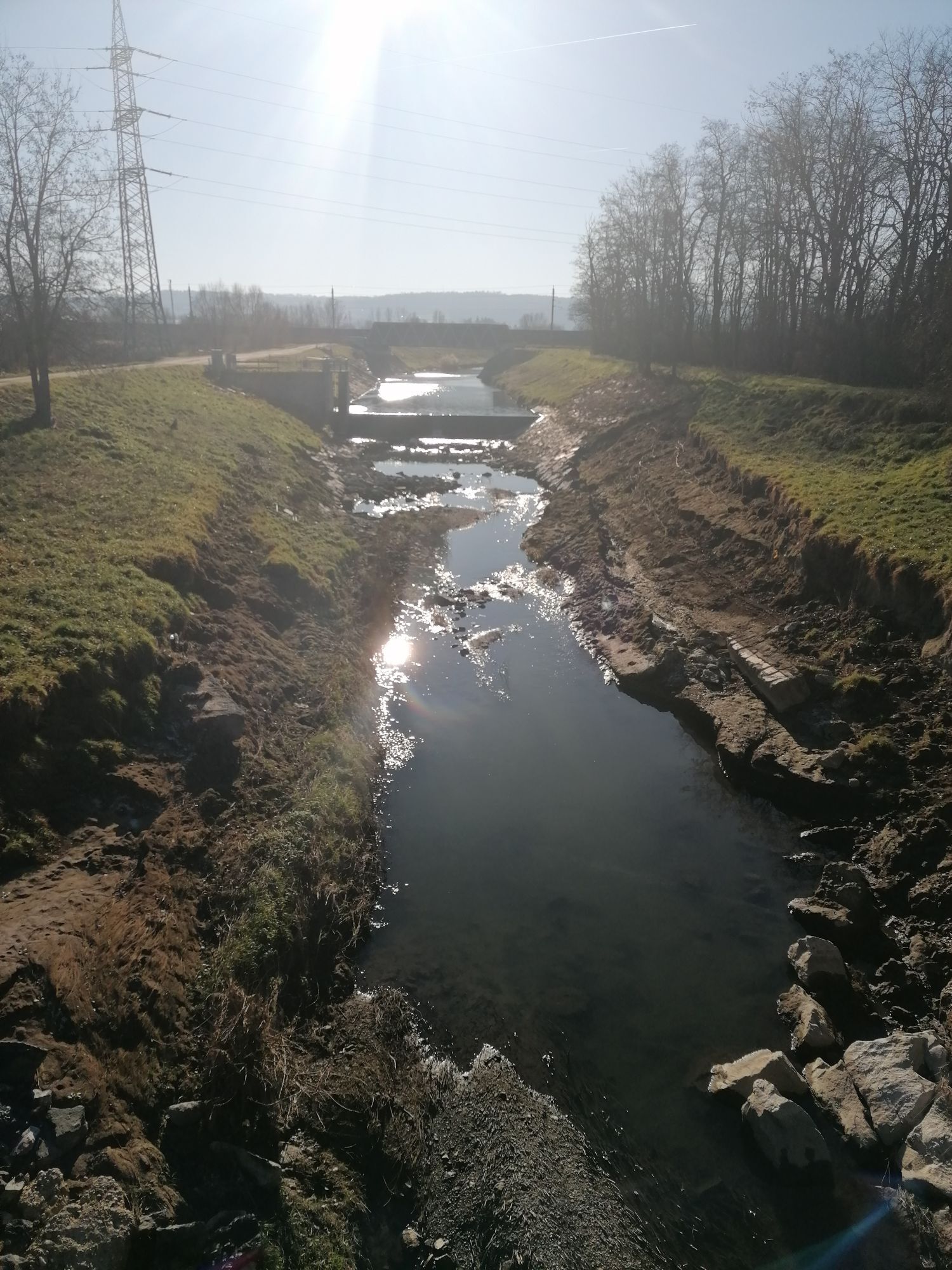
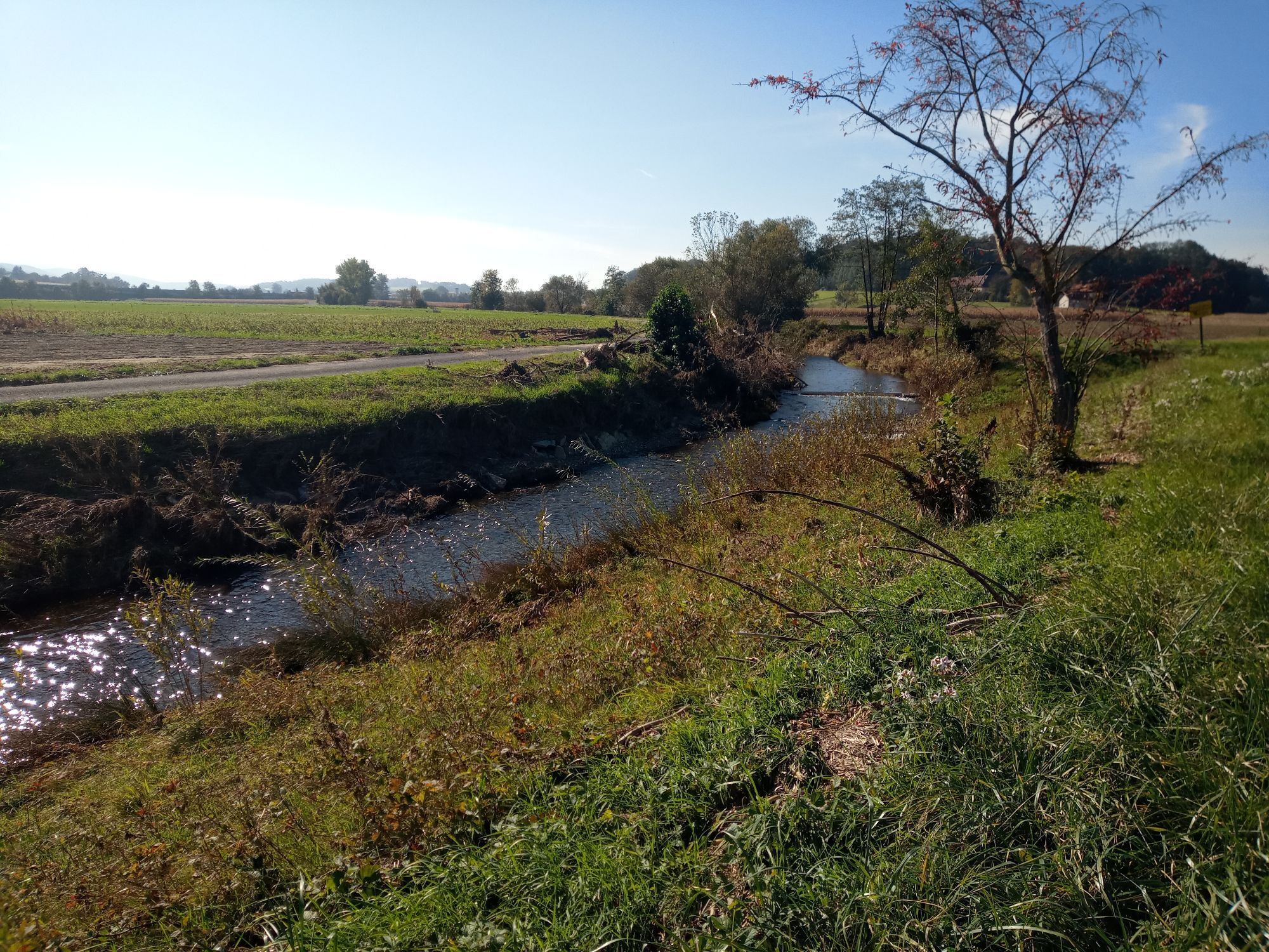
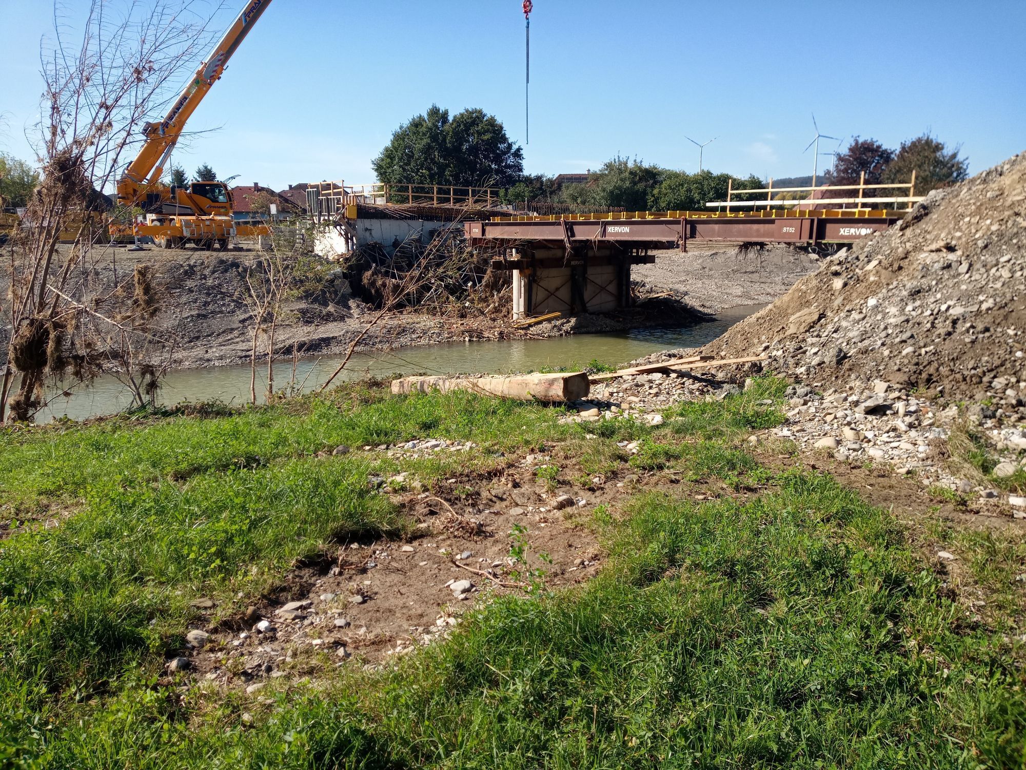
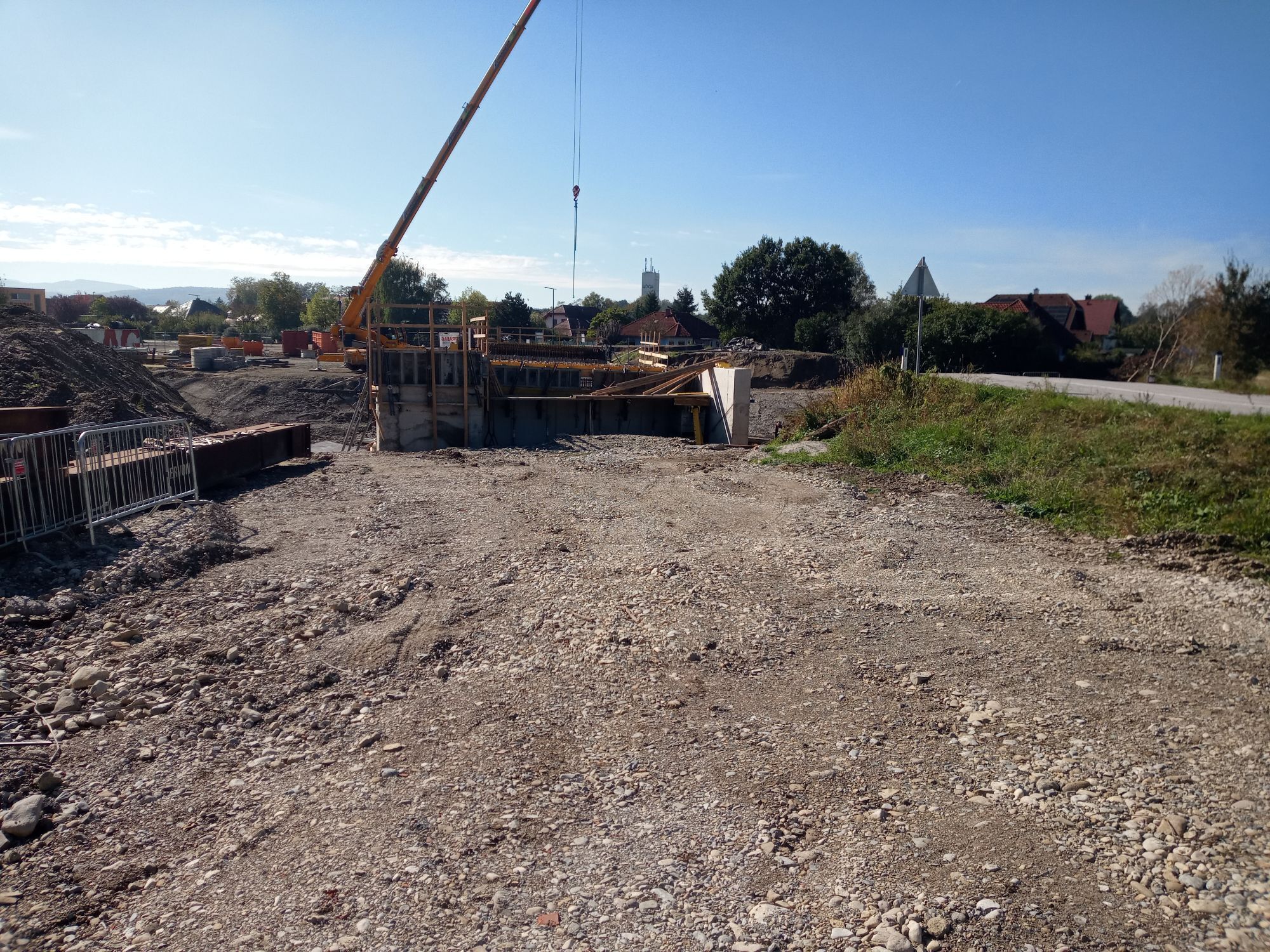
The Perschling valley cycle route connects two top Lower Austria cycle routes: the Traisental cycle path and the Danube cycle path. At Ochsenburg south of St. Pölten, it branches off from the Traisental...
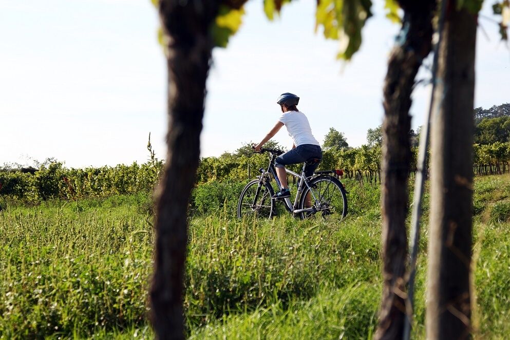
<p>The Perschling valley cycle route connects two top Lower Austria cycle routes: the Traisental cycle path and the Danube cycle path. At Ochsenburg south of St. Pölten, it branches off from the Traisental cycle path and continues eastwards north to Zwentendorf, where it flows directly into the Danube cycle path.</p><p>The route follows low-traffic side roads and farm roads on partly slightly hilly, mostly flat terrain along the Perschling. The route is mostly asphalted, but especially near the Danube it also runs over gravel roads, so it is not suitable for racing bikes; city bikes or touring bikes are sufficient though.</p><p>The Perschling valley cycle route is connected to the following cycle routes:</p>Traisental cycle pathDanube cycle pathTraisen-Danube cycle routeTullnerfeld cycle path



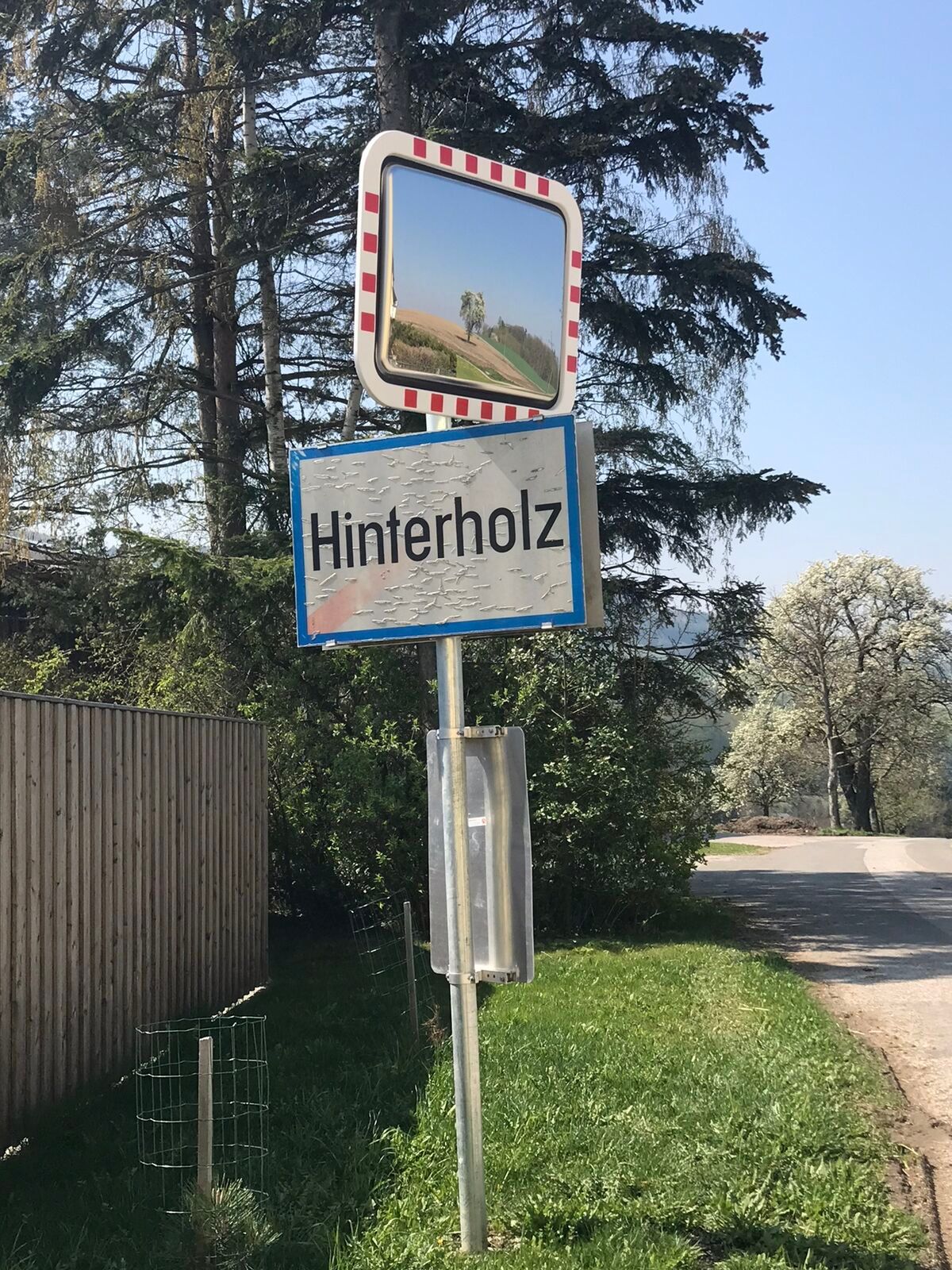
<p>St. Georgen am Steinfelde – direct connection to Traisental cycle path – Ochsenburg via Traisen bridge to Reith, start of the Perschling valley cycle route – left Hinterholz – from Pyhra along the Perschling to Böheimkirchen – in the village immediately after the Perschling bridge turn left – Altbachstraße/Feuerwehrgasse – Schildberg – Kapelln – at Mitterkilling we leave the Perschling side path and switch to the state road – Langmannersdorf – Atzenbrugg – Rust – continue straight on the country road to the junction with the Danube cycle path</p>
<p>Touring bike, mountain bike or city bike are recommended</p>
<p>In Austria, helmets are mandatory for children up to 12 years old.</p>
<p>West motorway A1, exit St. Pölten-South, southward (Mariazell) to Ochsenburg (St. Georgen).</p>
<p>By the Traisental railway to St. Georgen am Steinfelde station or by train to Tulln or Tullnerfeld.</p>
Pleasure map Traisental, available from Mostviertel Tourism, T 07482/204 44, E info@mostviertel.at, www.traisental.at
Map "Traisental cycle path", available from Mostviertel Tourism, T 07482/204 44, E info@mostviertel.at, www.traisentalradweg.at
Brochure "St. Pölten Cycling Strikes", available at the St. Pölten Tourist Information, Rathausplatz 1, 3100 St. Pölten, T 02742/353 354, E tourismus@st-poelten.gv.at, www.st-poelten.gv.at
Those planning an extensive cycling round have the option starting from Ochsenburg to cycle over the Perschling valley to the Danube, then follow it about 17 km west and at Traismauer switch to the Traisental cycle path, which closes the loop again at Ochsenburg. This round measures almost 100 km. Several cycle path connections (e.g. south of St. Pölten, between Kapelln and Herzogenburg or Perschling – Sitzenberg-Reidling) create cycling loops for every level of fitness.
Uzyskaj wgląd
Zawsze na żywo z ponad 9 500 kamer internetowych. bergfex Jako użytkownik Pro, możesz teraz zobaczyć odpowiednie kamery internetowe dla wielu wycieczek w aplikacji wycieczki od. Pozwala to na bezpośredni podgląd aktualnych warunków.
Popularne wycieczki w okolicy
-
4,4
Hegerberg
światłoWędrówka 8,06 km -
4,4
Circular hike to Buchberg lookout
światłoWędrówka 9,24 km -
4,2
Drei-Seen-Runde St. Pölten
światłoWędrówka 5,02 km -
4,5
Laabner Elsbeerwege - Variante 2
średniWędrówka 7,98 km -
5,0
Laabental - Radweg
światłoJazda na rowerze 15,7 km -
4,9
Traisental MTB Potpourri
średniMountainbike 27,9 km -
4,3
Über Sitzenberg-Reidling: Seelacke-Korkenzieher-Weinberge
średniWędrówka 11,1 km -
4,5
Leichte Wanderung auf die Rudolfshöhe
światłoWędrówka 5,17 km -
5,0
Elsbeerweg Laaben
światłoWędrówka 5,35 km -
4,0
Rudolfshöhe
światłoWędrówka 9,01 km

Wędrówki i tropienie


Nie przegap ofert i inspiracji na następne wakacje
Twój adres e-mail została dodana do listy mailingowej.





