







Fladnitztal cycling route (variant via Karlstetten)

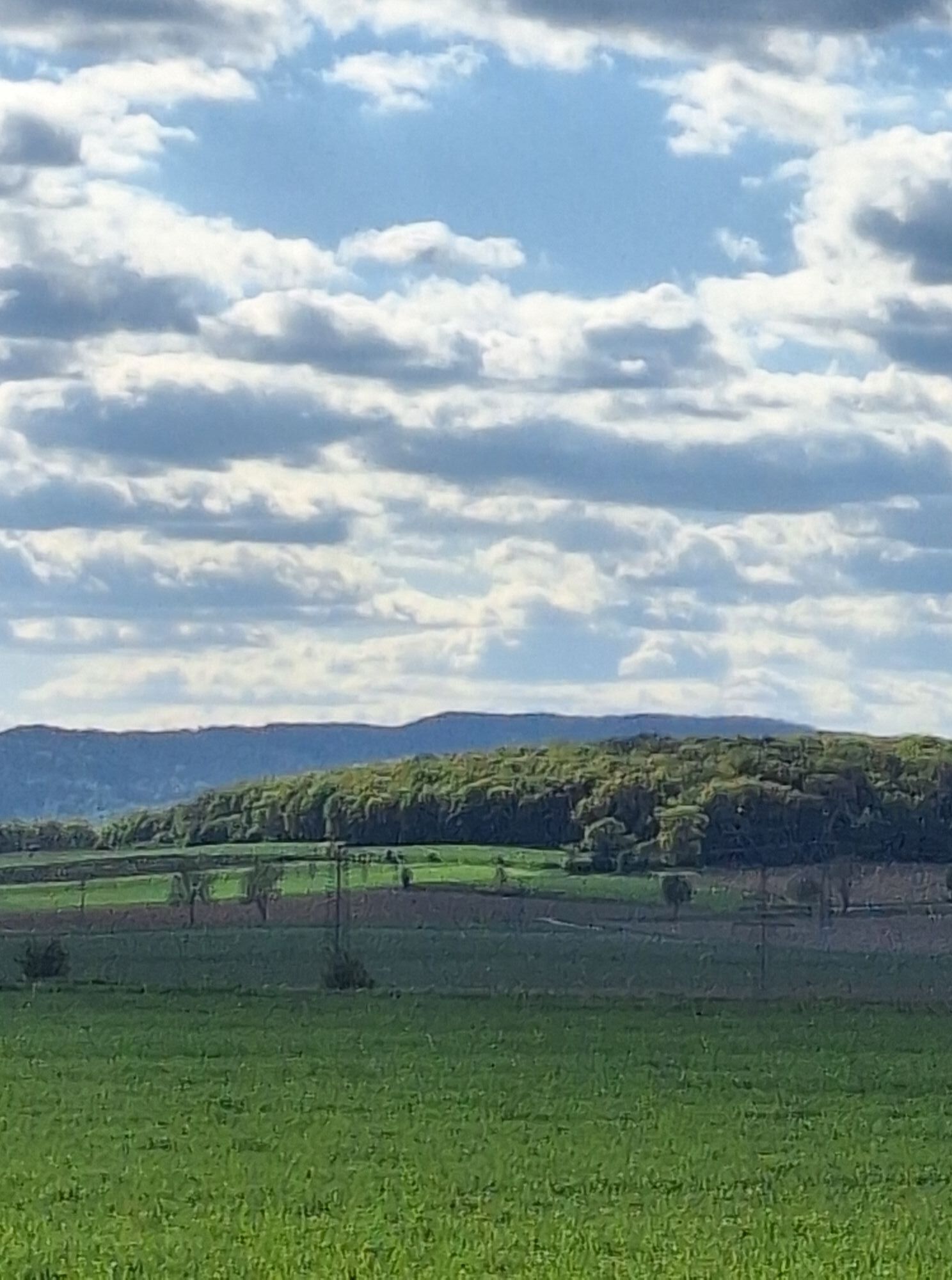
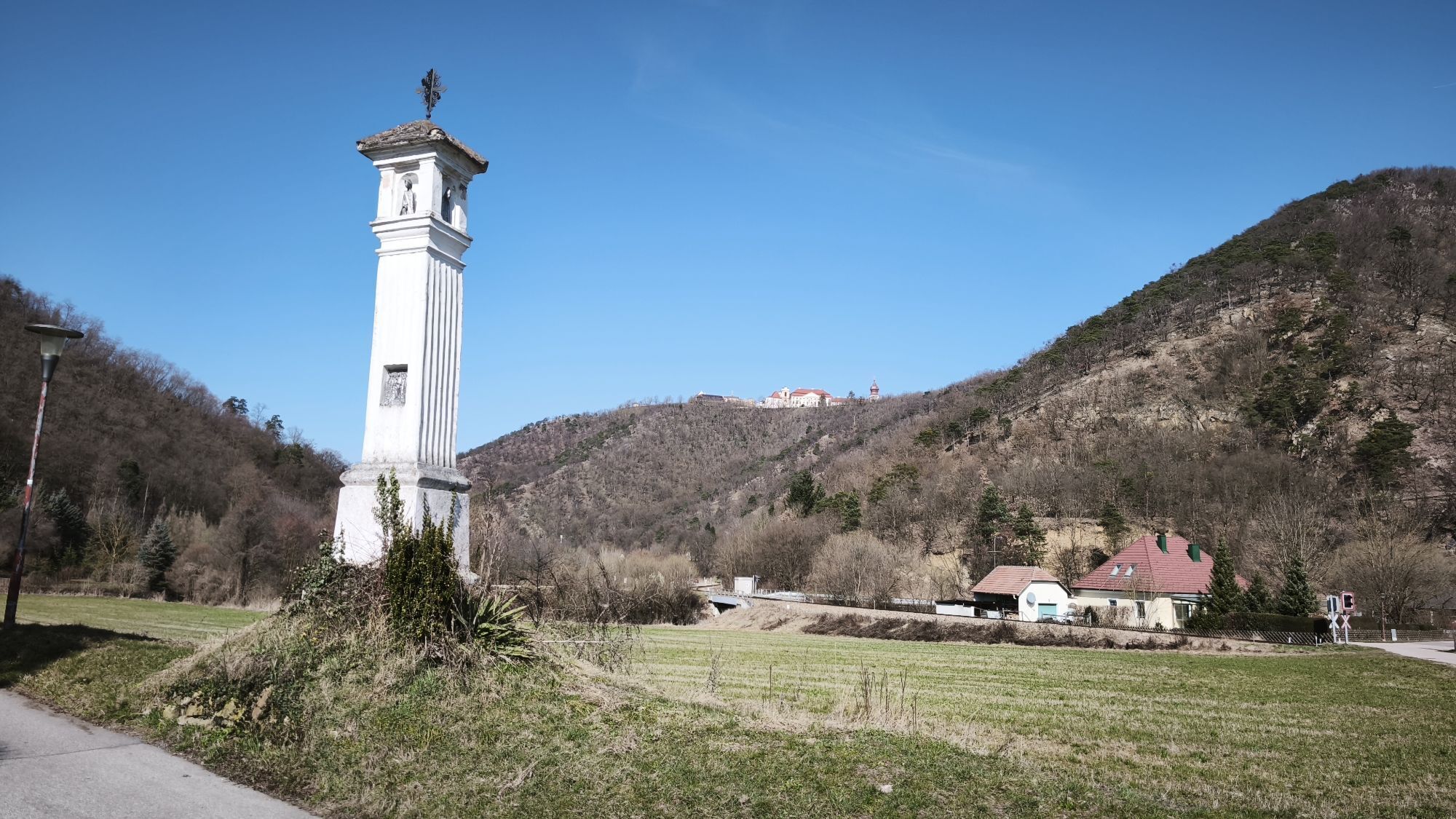
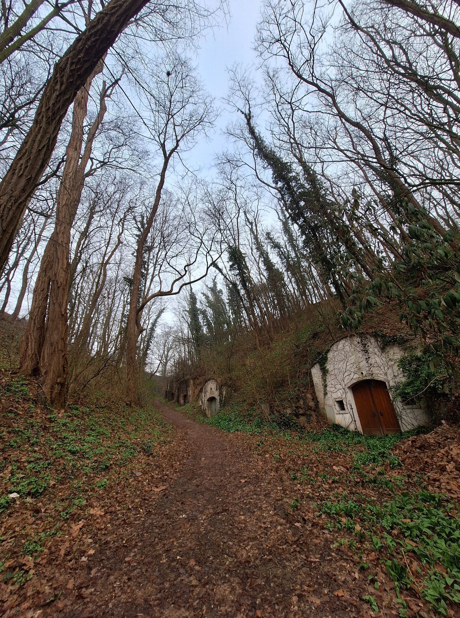
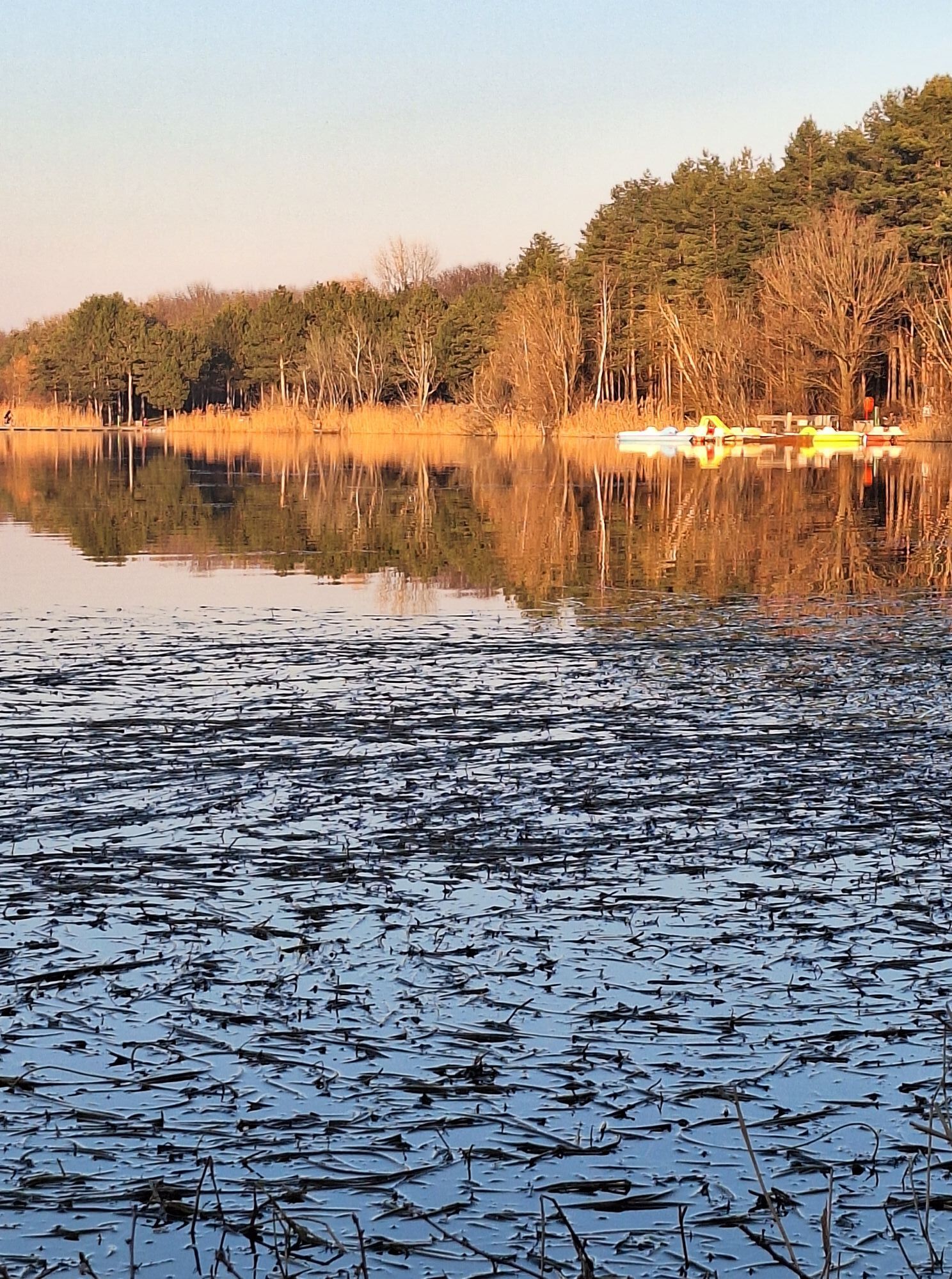
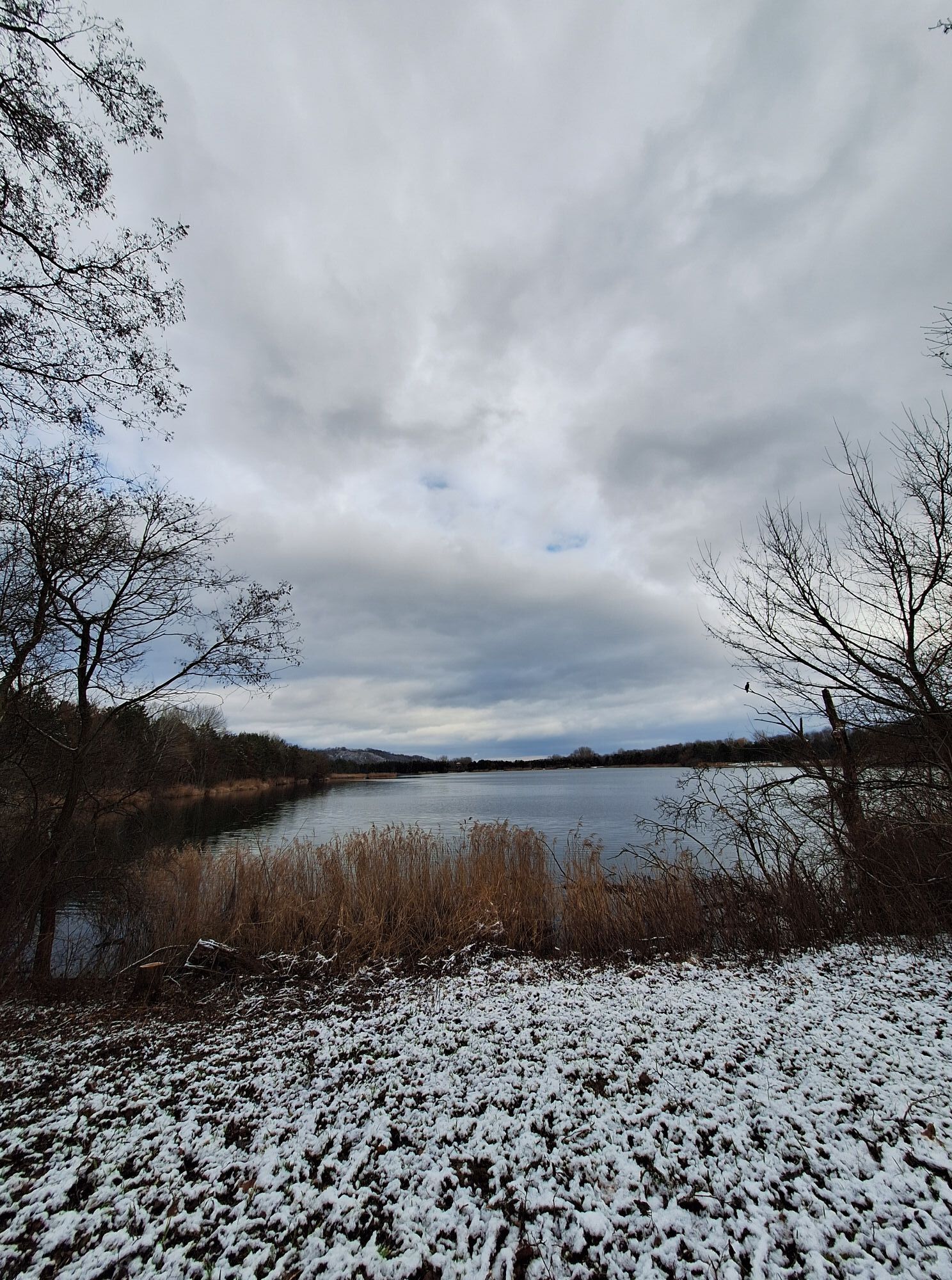
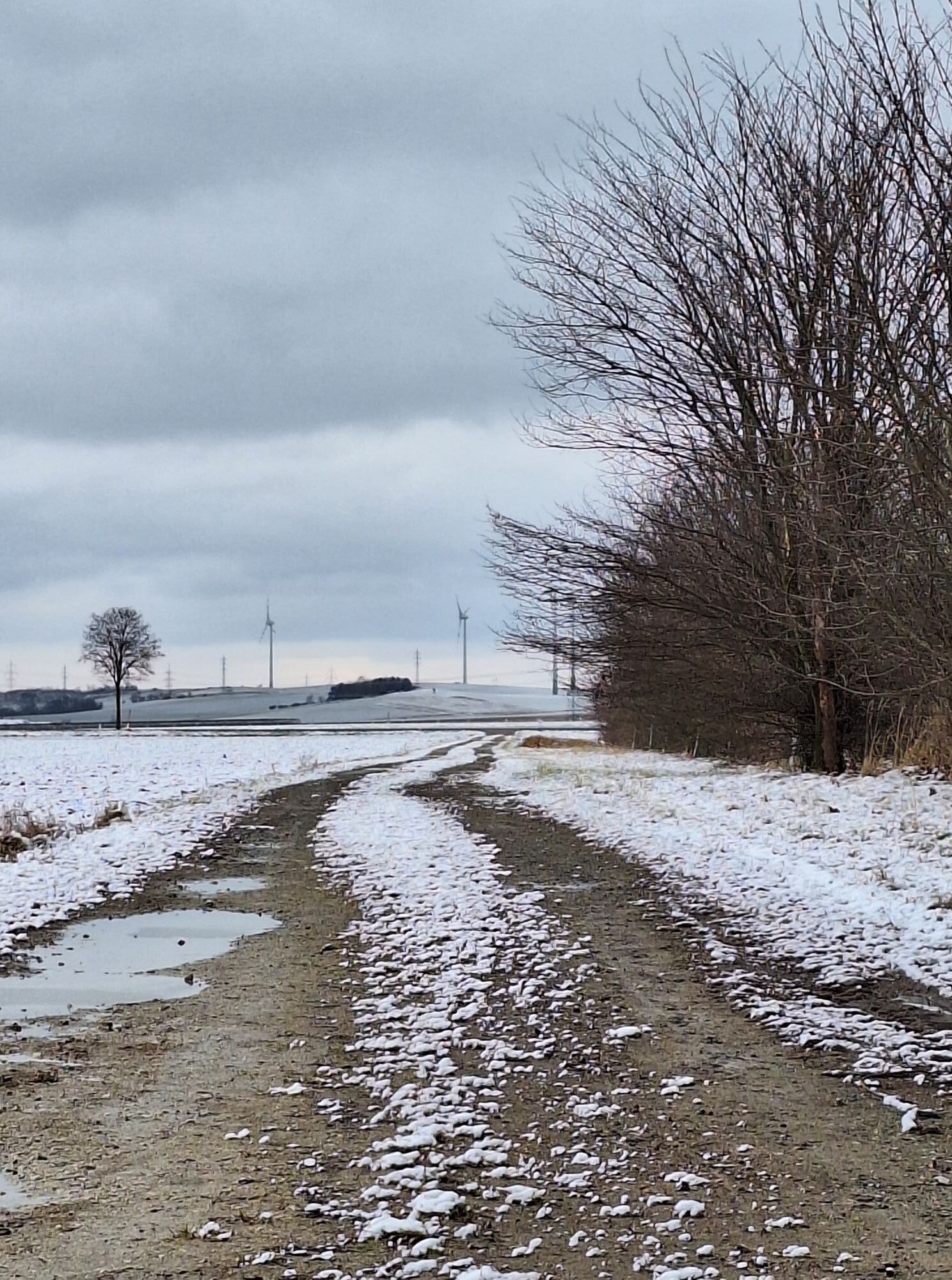
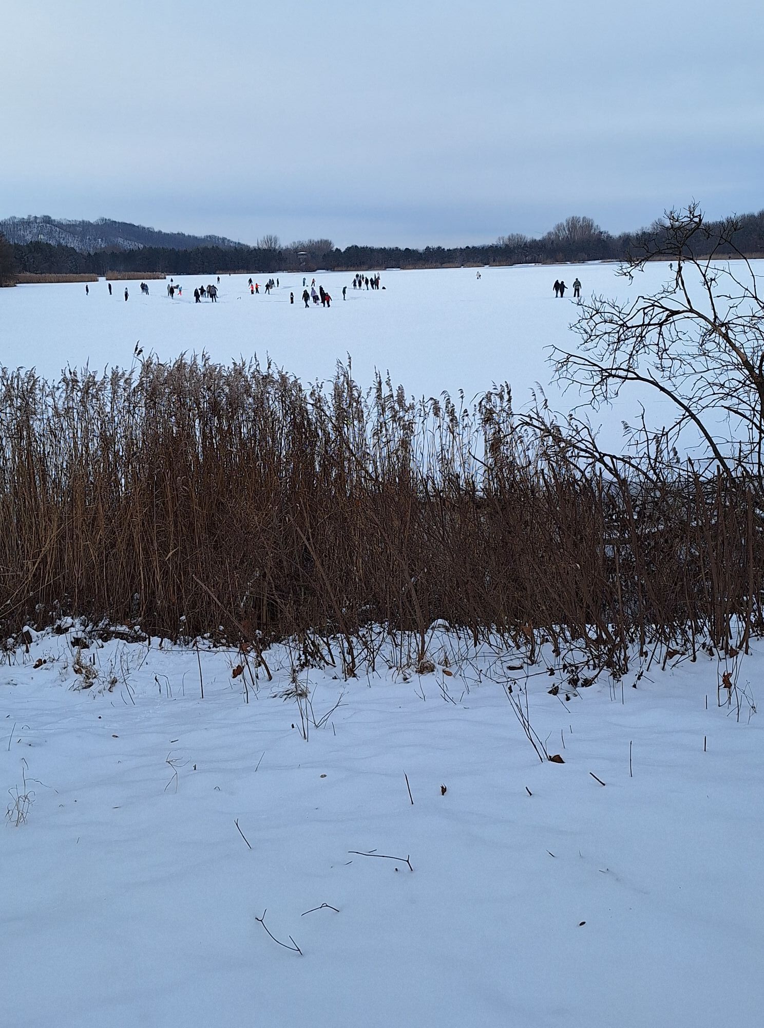
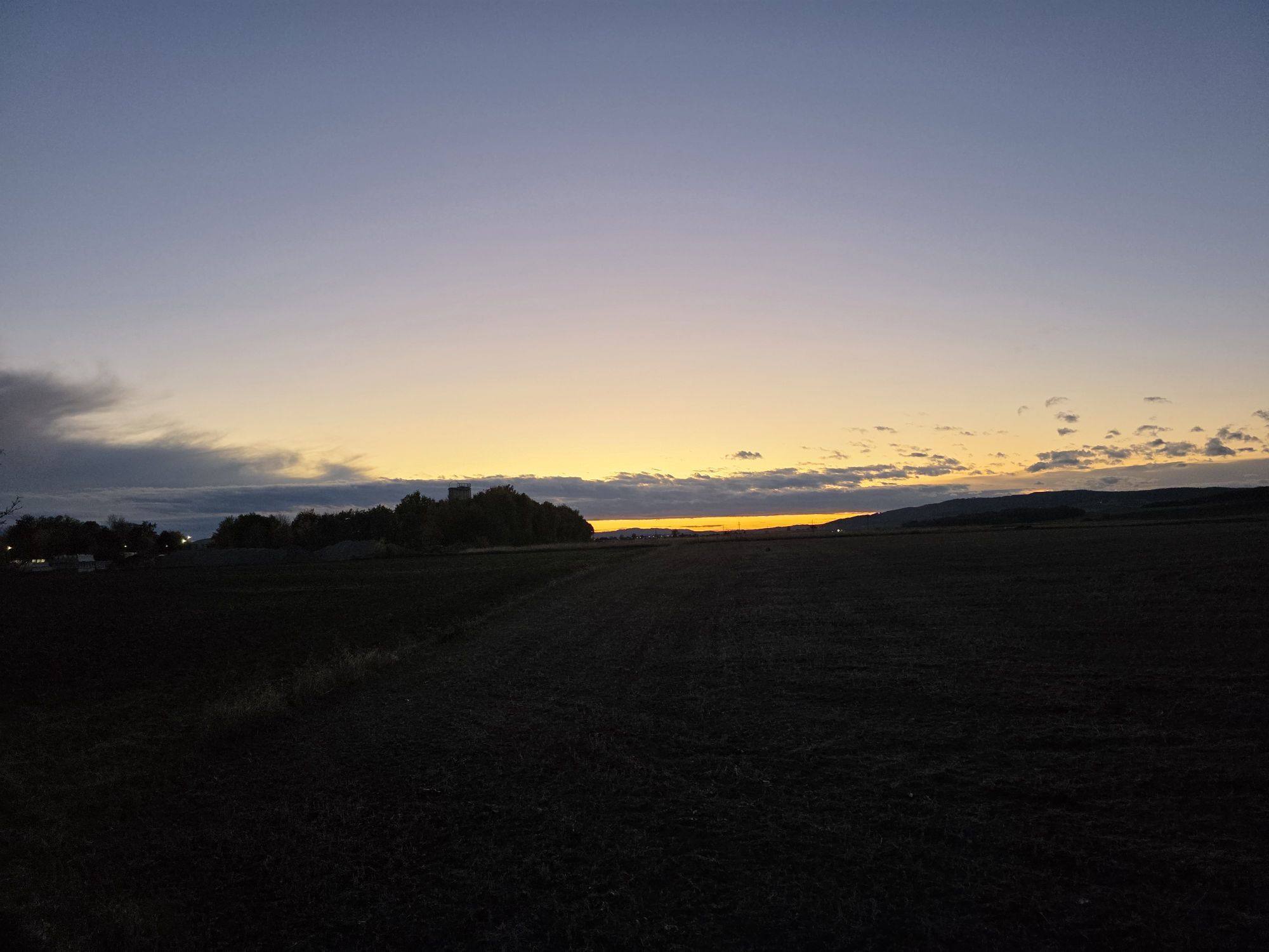
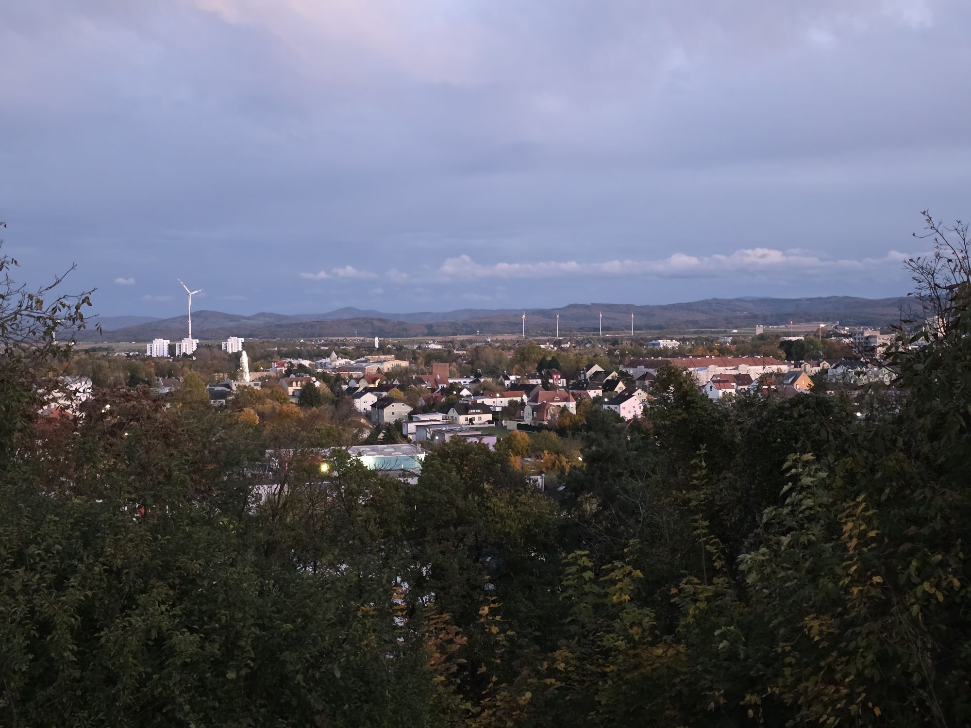
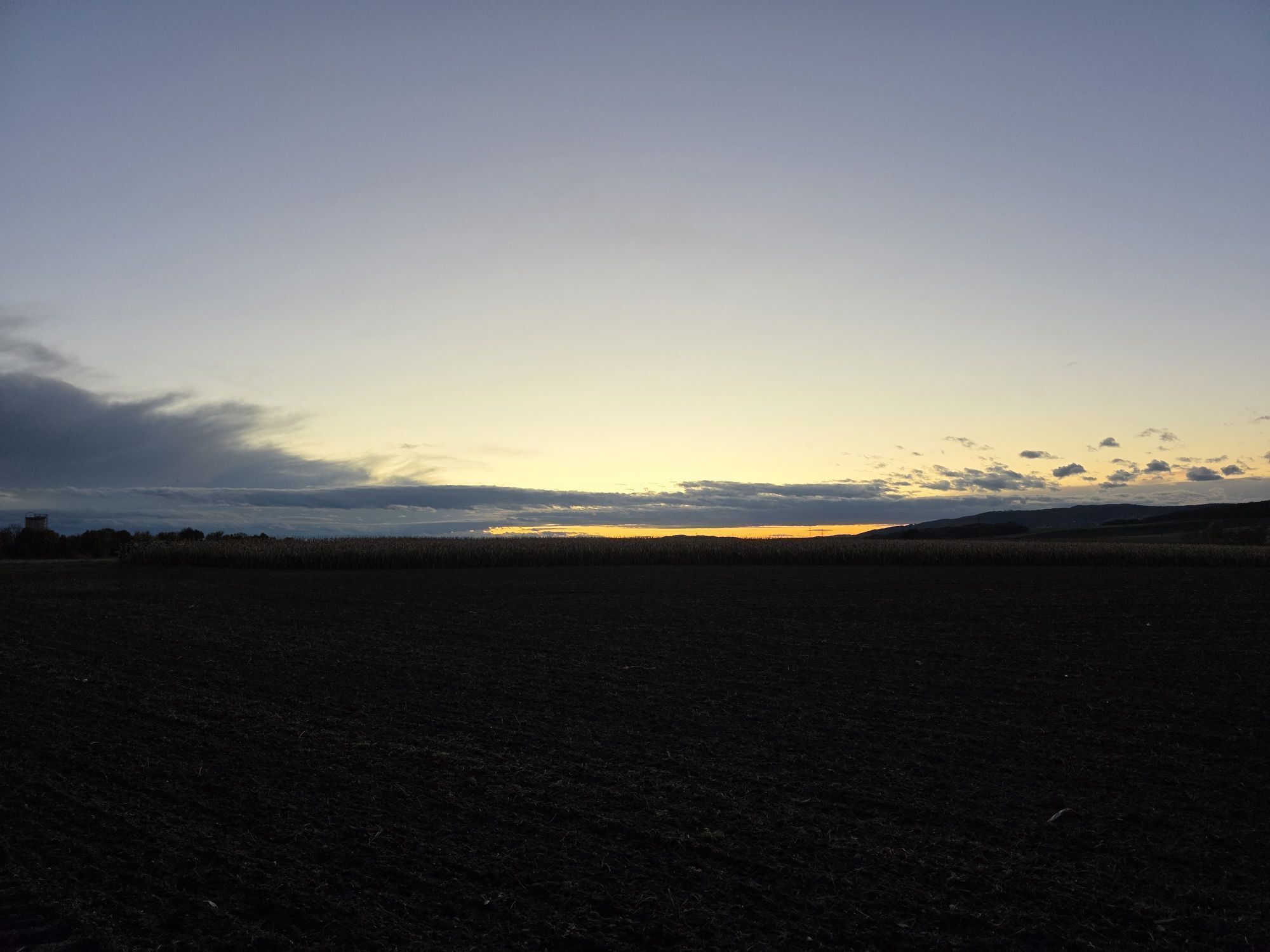
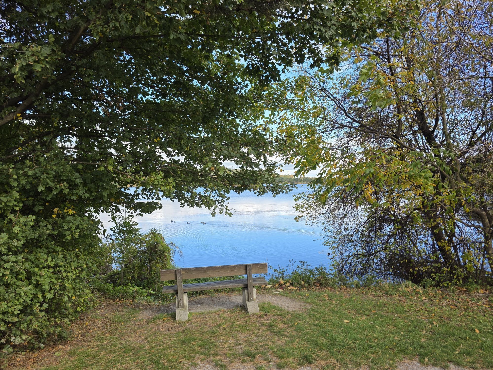
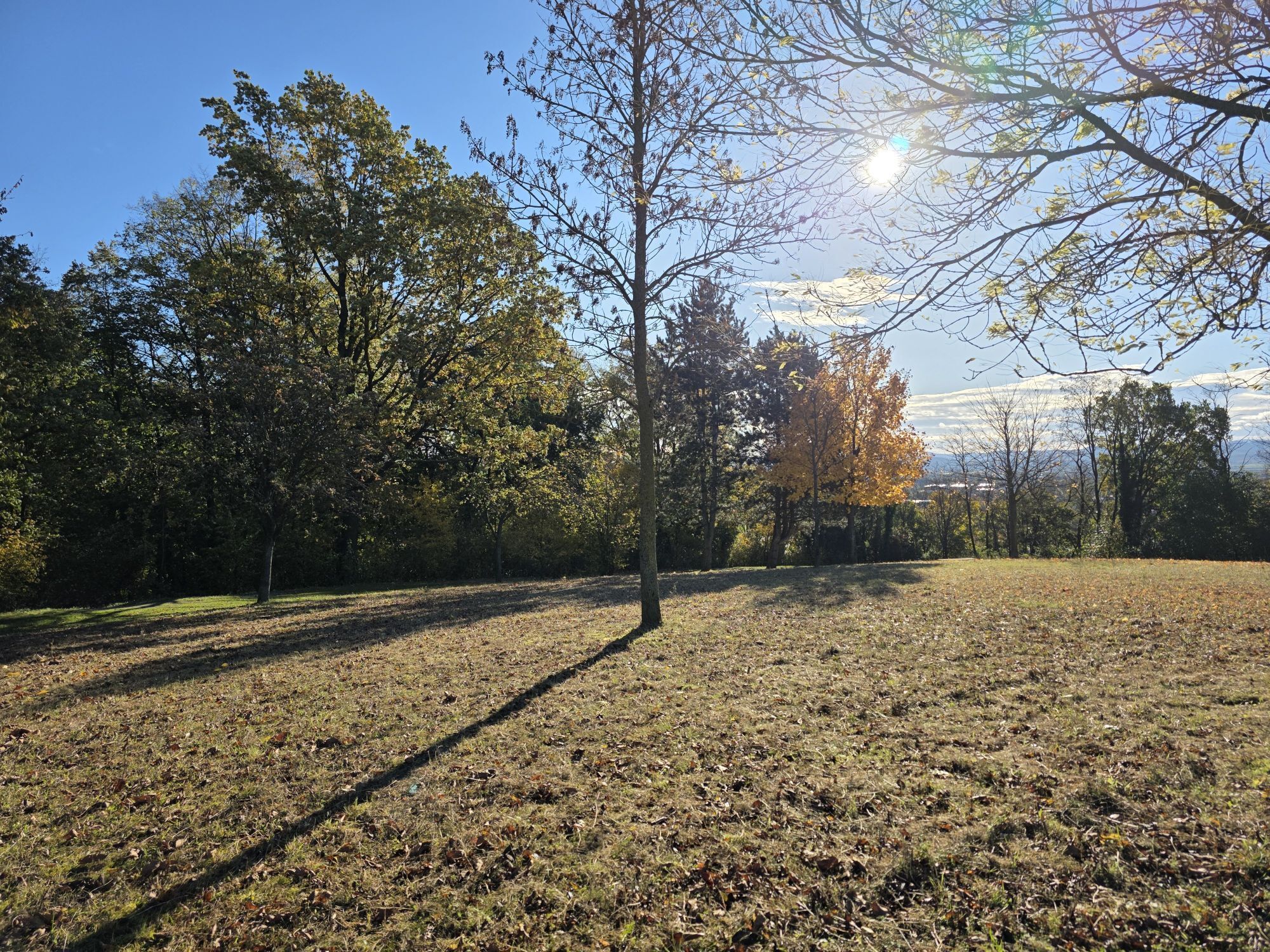
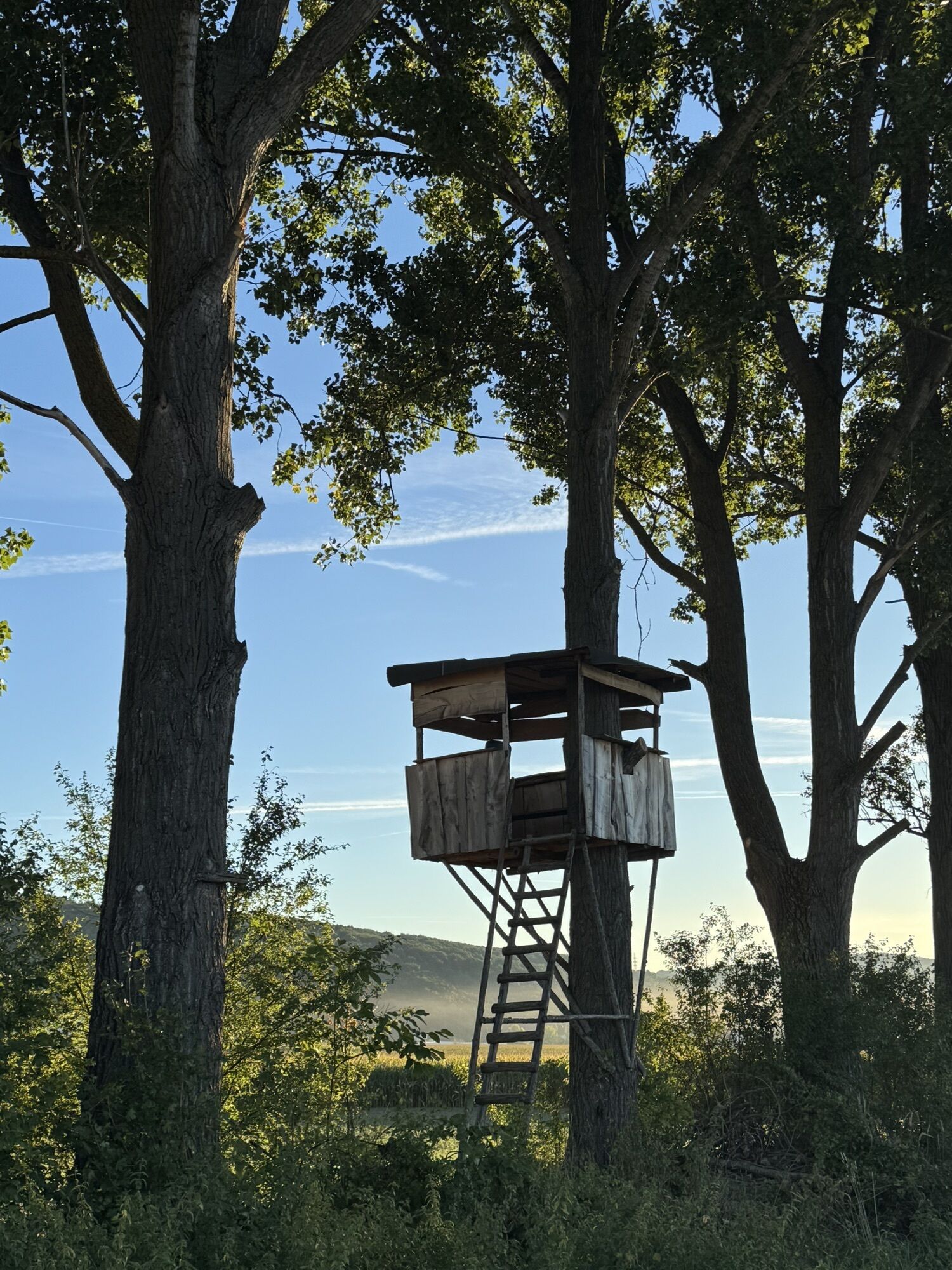
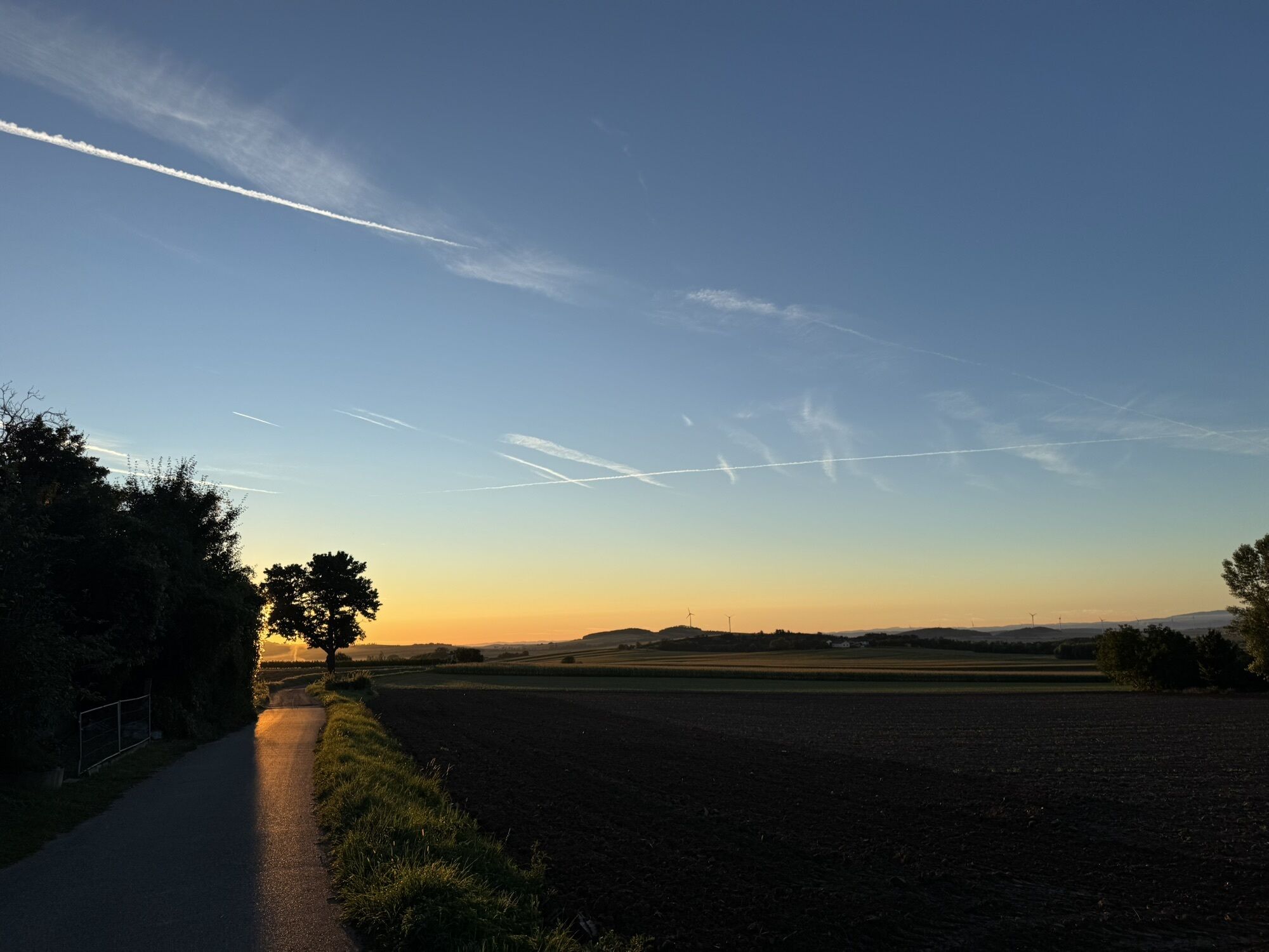
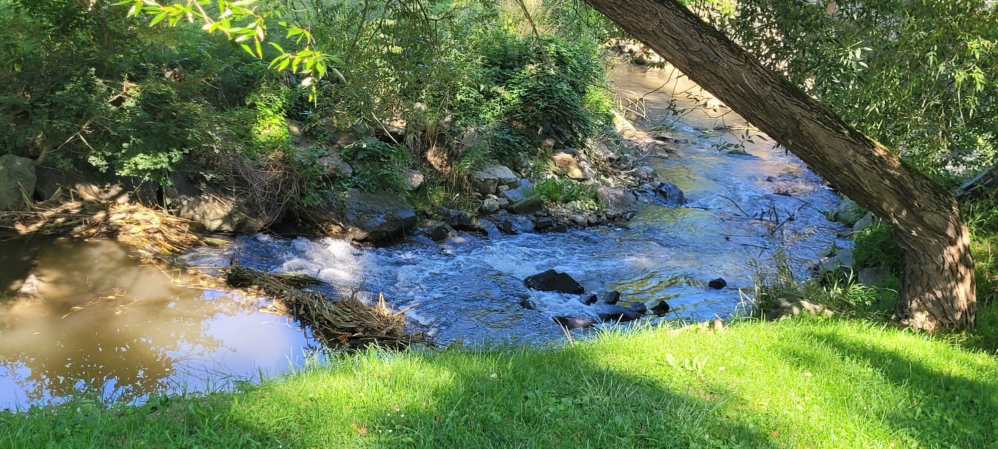
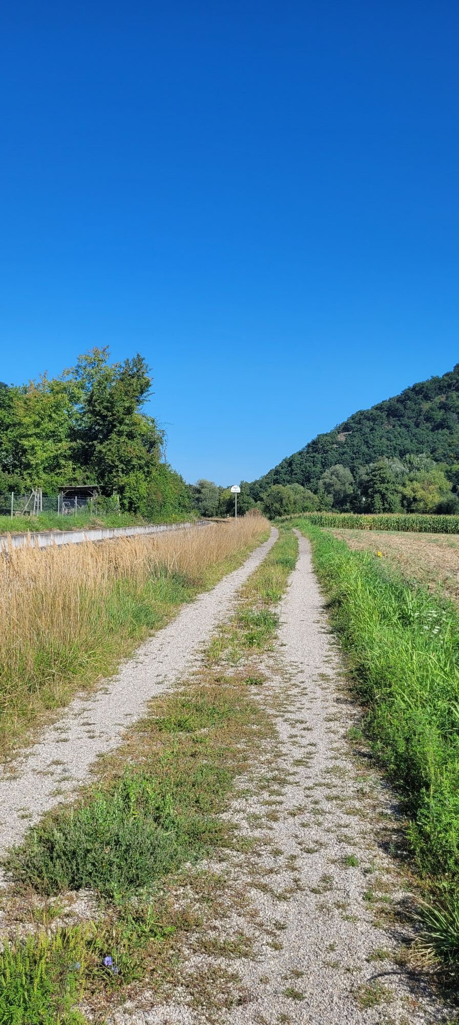
The 36-kilometer-long cycling route connects the Danube with the Traisen Valley cycle path.
A second variant runs via Statzendorf and thus also enables a cycling loop.
<p>The 36-kilometer-long cycling route connects the Danube with the Traisen Valley cycle path.</p><p>A second variant runs via Statzendorf and thus also enables a cycling loop.</p>

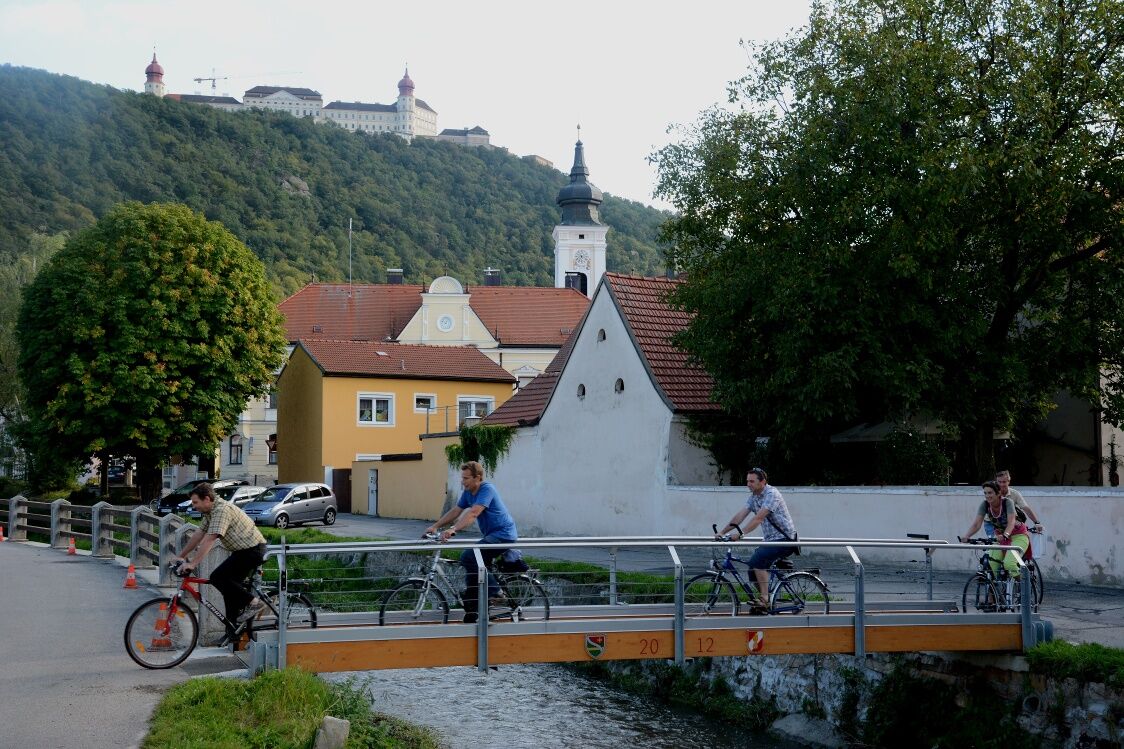
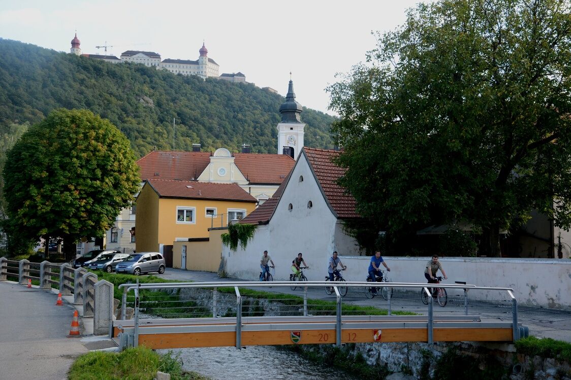
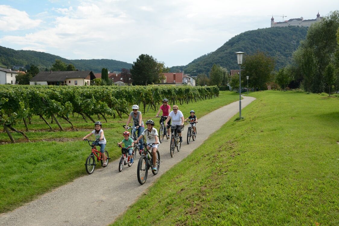

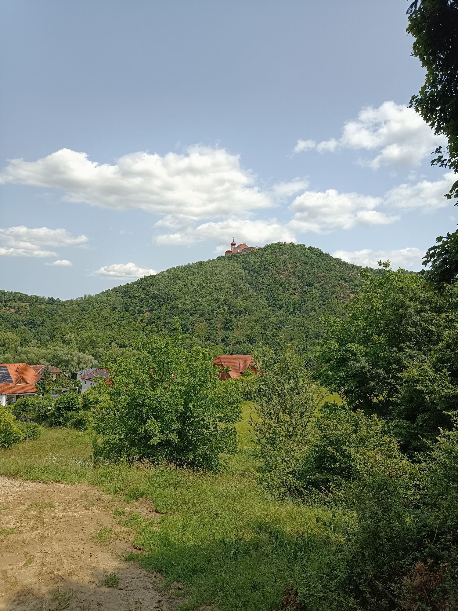
<p>The route starts at the Danube cycle path near the sports facilities in Furth near Göttweig and ends in St. Pölten at the large Viehofner Lake at the Traisen Valley cycle path. The Fladnitztal cycling route can be ridden in both directions and is signposted accordingly.</p><p>It leads from the Fladnitz mouth, between Göttweiger Berg and Fladnitz along the Dunkelsteiner Forest over Paudorf into the Wölbling Basin, past Obritzberg-Rust and via Karlstetten further to the Traisen.</p><p>The varied route passes vineyards and fields. Inns and wine taverns invite cyclists to take a break, and several train stops allow partial riding of this route. Attractions such as Avaturm, Villa Betonie, but also numerous wayside crosses, churches, and chapels are located along the route.</p><p>Signage: Green cycle path signage "Fladnitztal cycling route"</p>
<p>The route runs mostly on public roads with regional traffic. Therefore, appropriate equipment and authorization for cycle path users are required.</p>
<p>If starting in Furth near Göttweig: By car via the West Autobahn A1; switch to S 33 at the St. Pölten junction - exit Mautern</p><p>If starting in St. Pölten: Travel to St. Pölten - exit St. Pölten East.</p>
<p>Rail connections in Furth-Palt, Paudorf, Statzendorf, Viehofen, and St. Pölten</p>
Further information can be found at: www.furth.at, www.paudorf.at, www.pfarre-paudorf.com
The Fladnitztal cycling route connects the Traisen Valley cycle path with the Danube cycle path.
More information: www.traisentalradweg.at, www.donau.com
For family outings, playgrounds along the cycling route offer opportunities to rest. Hikes can be made to the mammoth trees or to the Göttweiger Predigtstuhl, with a magnificent view over the Fladnitz Valley. The impressive sculpture trail in Paudorf can also be cycled.
For those interested in culture, a detour to Göttweig Abbey or a visit to the Hellerhof in Paudorf is worthwhile, where there is a museum about the composer Wilhelm Kinzl and his opera “Der Evangelimann.” A show garden can also be visited at the Hellerhof. Equally worth a visit is the St. Blasien Church in Klein Wien with the mountain cemetery surrounding it.
Popularne wycieczki w okolicy
-
4,4
Welterbesteig Wachau 03: Weißenkirchen-Spitz
światłodługodystansowy szlak pieszy 10,4 km -
4,7
Welterbesteig Wachau 01: Krems-Dürnstein
światłodługodystansowy szlak pieszy 12,3 km -
4,8
Vogelbergsteig -Kanzel- Fesselhütte - Ruine Dürnstein zum Heurigen in Furth
średniWędrówka 7,59 km -
4,7
Rundhöhenwanderweg Weißenkirchen in der Wachau - Schildhütten - Cholerakreuz - Weißenkirchen
światłoWędrówka 8,70 km -
4,7
Wachau: Seekopf - Hirschwand
średniWędrówka 10,4 km -
4,6
Krems (Welterbesteig) - Dürnstein - Vogelbergsteig - Kanzel - Fesslhütte - Krems
średniWędrówka 18,0 km -
4,6
Maria Langegg - Rote Wand - Hoher Stein - Kastlkreuz
średniWędrówka 11,4 km -
4,5
Panoramaweg Weissenkirchen
światłoWędrówka 5,04 km -
4,4
Wachauer Marillenerlebnisweg, Krems-Angern
światłoWędrówka 6,04 km -
4,5
Seekopf und Hirschwand
średniWędrówka 2,83 km
Wędrówki i tropienie


Nie przegap ofert i inspiracji na następne wakacje
Twój adres e-mail została dodana do listy mailingowej.





