


Franziskusweg Weinviertel
Zdjęcia naszych użytkowników
-

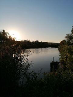
 © Dragoljub IlicUtworzono dnia 07.10.2022
 -
 © Dragoljub IlicUtworzono dnia 07.10.2022
 -
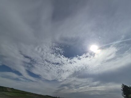
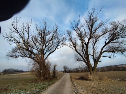
 © Markus HummelbrunnerUtworzono dnia 23.04.2026
 -
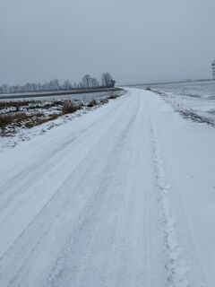
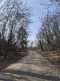 © Markus HummelbrunnerUtworzono dnia 01.03.2026
 -
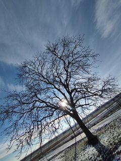
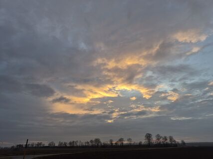 © Markus HummelbrunnerUtworzono dnia 11.02.2026
 -
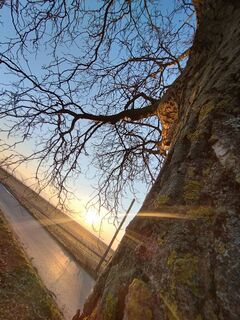
 © Markus HummelbrunnerUtworzono dnia 19.01.2026
 -
 © Markus HummelbrunnerUtworzono dnia 14.01.2026
 -
 © Markus HummelbrunnerUtworzono dnia 12.01.2026
 -
 © Markus HummelbrunnerUtworzono dnia 08.01.2026
 -
 © Markus HummelbrunnerUtworzono dnia 03.01.2026
 -
 © Markus HummelbrunnerUtworzono dnia 03.01.2026
 -
 © Markus HummelbrunnerUtworzono dnia 30.12.2025
 -
 © Markus HummelbrunnerUtworzono dnia 26.12.2025
 -
 © SabineUtworzono dnia 19.12.2025
 -
 © Markus HummelbrunnerUtworzono dnia 17.12.2025
 -
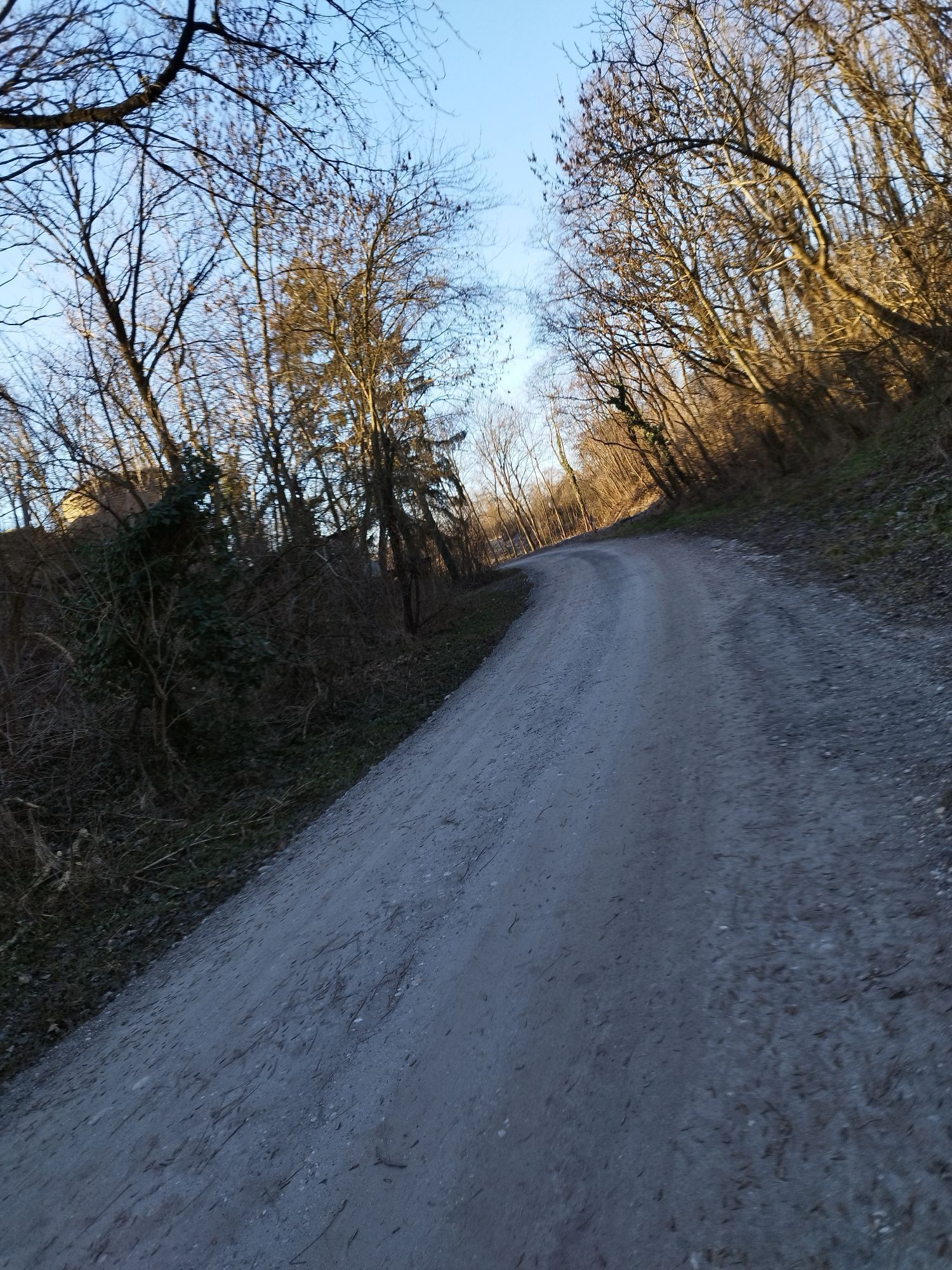
 © Markus HummelbrunnerUtworzono dnia 15.12.2025
 -
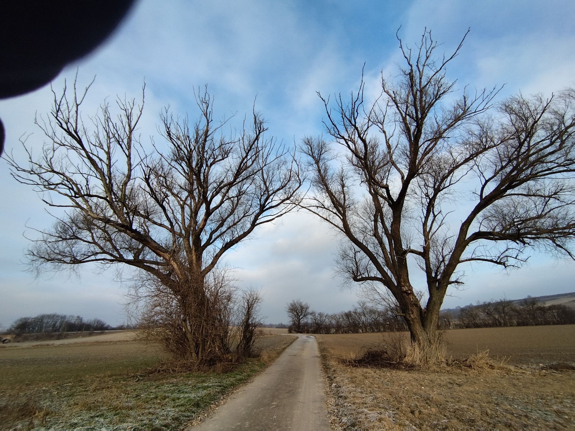
 © Markus HummelbrunnerUtworzono dnia 22.10.2025
 -

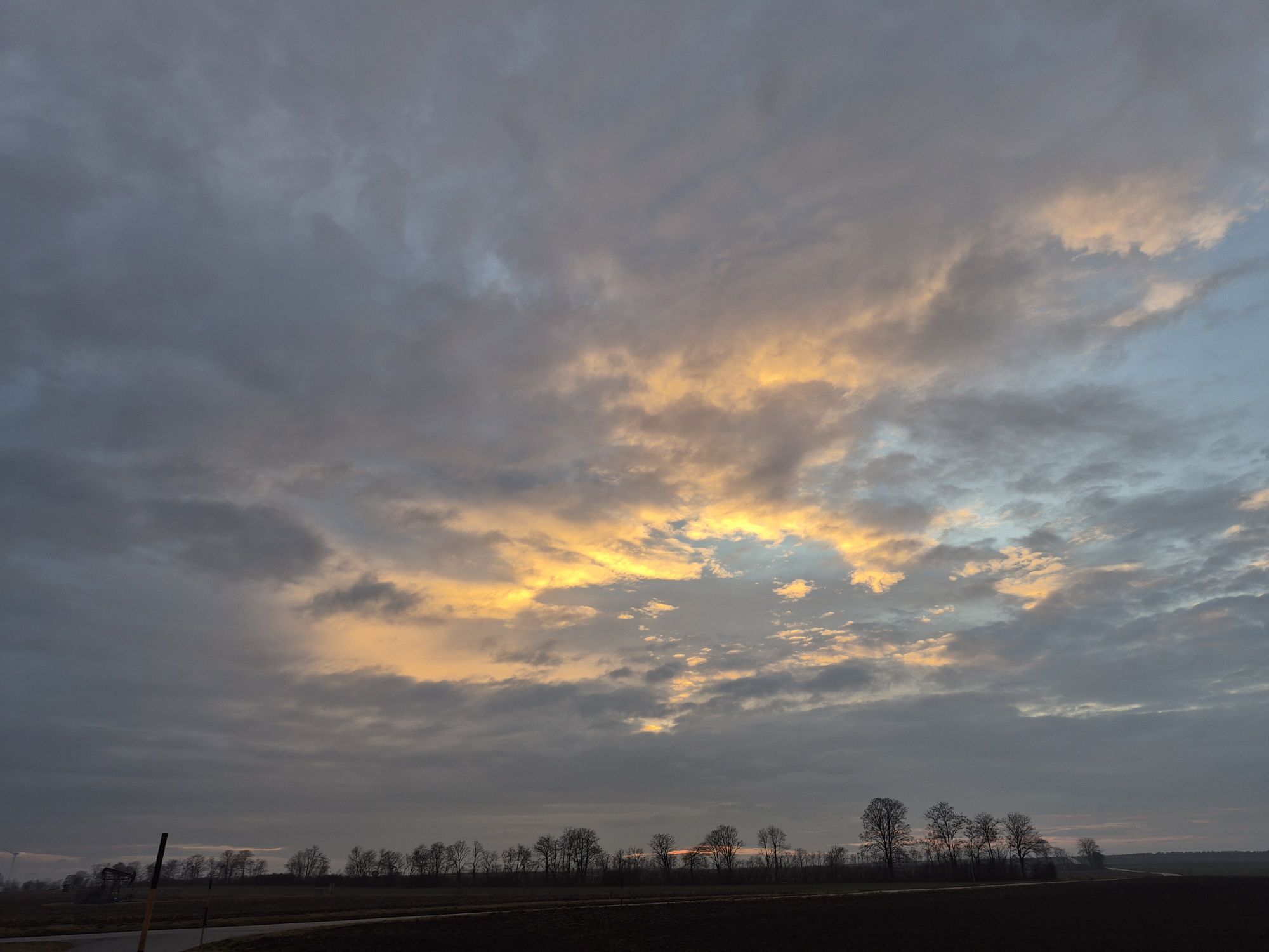
 © Friedrich SchlagerUtworzono dnia 01.11.2024
 -
 © Dragoljub IlicUtworzono dnia 07.10.2022
 -
 © Dragoljub IlicUtworzono dnia 07.10.2022
 -
 © Dragoljub IlicUtworzono dnia 07.10.2022
 -
 © Dragoljub IlicUtworzono dnia 07.10.2022
 -
 © Dragoljub IlicUtworzono dnia 07.10.2022
 -
 © Dragoljub IlicUtworzono dnia 07.10.2022
 -
 © Dragoljub IlicUtworzono dnia 07.10.2022
 -
 © Dragoljub IlicUtworzono dnia 07.10.2022
 -
 © Dragoljub IlicUtworzono dnia 07.10.2022
 -
 © Dragoljub IlicUtworzono dnia 07.10.2022
 -
 © Dragoljub IlicUtworzono dnia 07.10.2022
 -
 © Dragoljub IlicUtworzono dnia 07.10.2022
 -
 © Dragoljub IlicUtworzono dnia 07.10.2022
 -
 © Dragoljub IlicUtworzono dnia 07.10.2022
 -
 © Dragoljub IlicUtworzono dnia 07.10.2022
 -
 © Dragoljub IlicUtworzono dnia 07.10.2022
 -
 © Dragoljub IlicUtworzono dnia 07.10.2022
 -
 © Dragoljub IlicUtworzono dnia 07.10.2022
 -
 © Dragoljub IlicUtworzono dnia 07.10.2022
 -
 © Dragoljub IlicUtworzono dnia 07.10.2022
 -
 © Dragoljub IlicUtworzono dnia 07.10.2022
 -
 © Dragoljub IlicUtworzono dnia 07.10.2022
 -
 © Dragoljub IlicUtworzono dnia 07.10.2022
 -
 © Dragoljub IlicUtworzono dnia 07.10.2022
 -
 © Dragoljub IlicUtworzono dnia 07.10.2022
 -
 © Dragoljub IlicUtworzono dnia 07.10.2022
 -
 © Dragoljub IlicUtworzono dnia 07.10.2022
 -
 © Dragoljub IlicUtworzono dnia 07.10.2022
 -
 © Dragoljub IlicUtworzono dnia 07.10.2022
 -
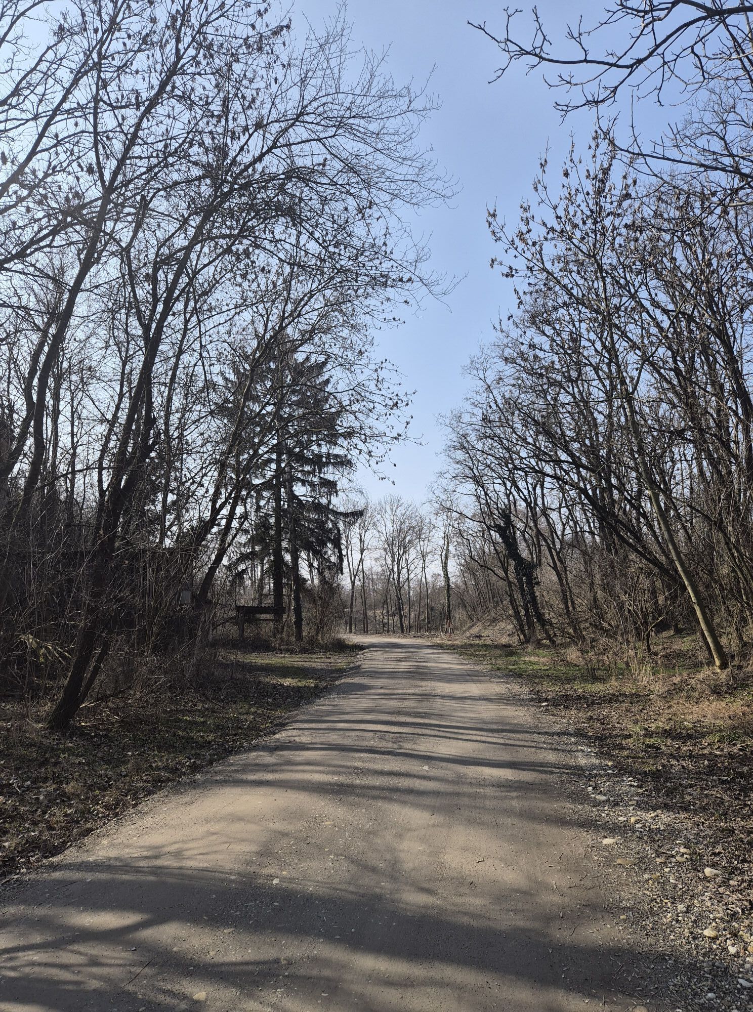
 © Dragoljub IlicUtworzono dnia 07.10.2022


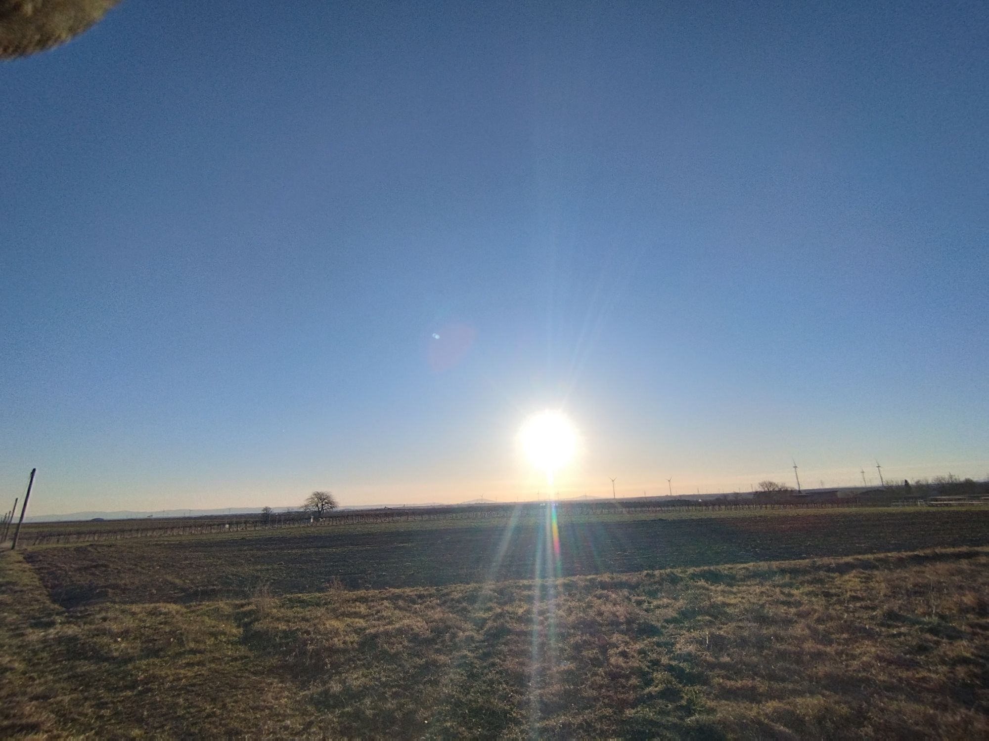


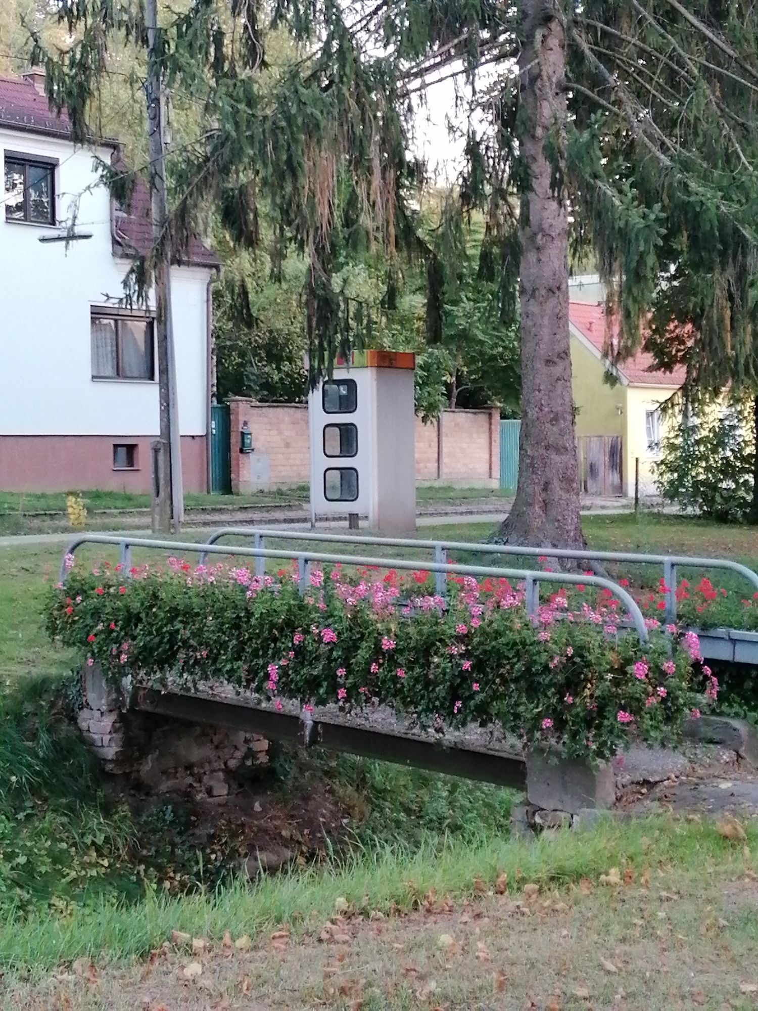


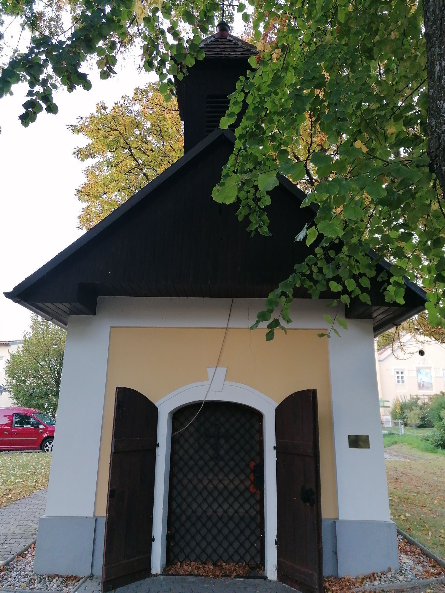


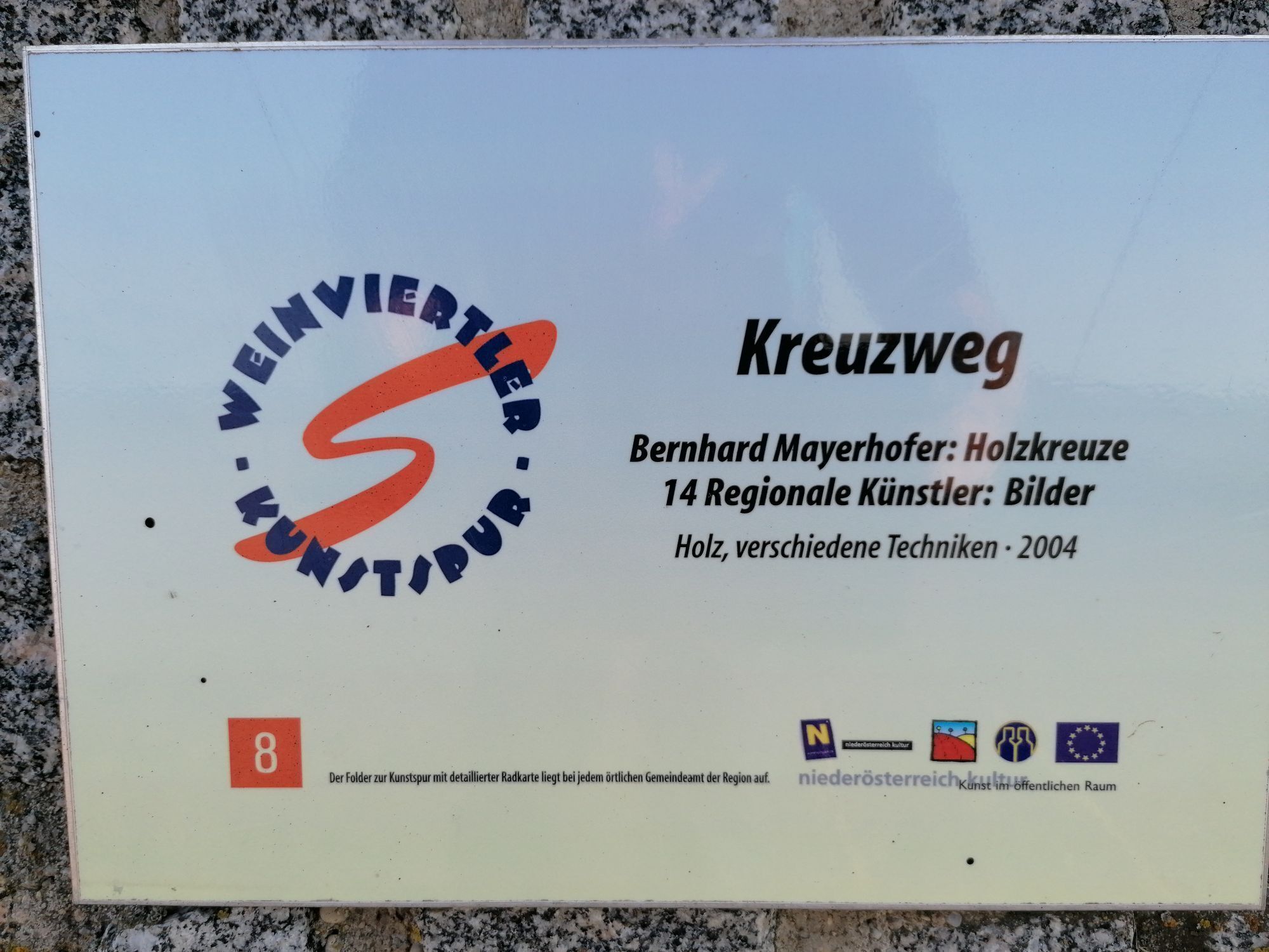
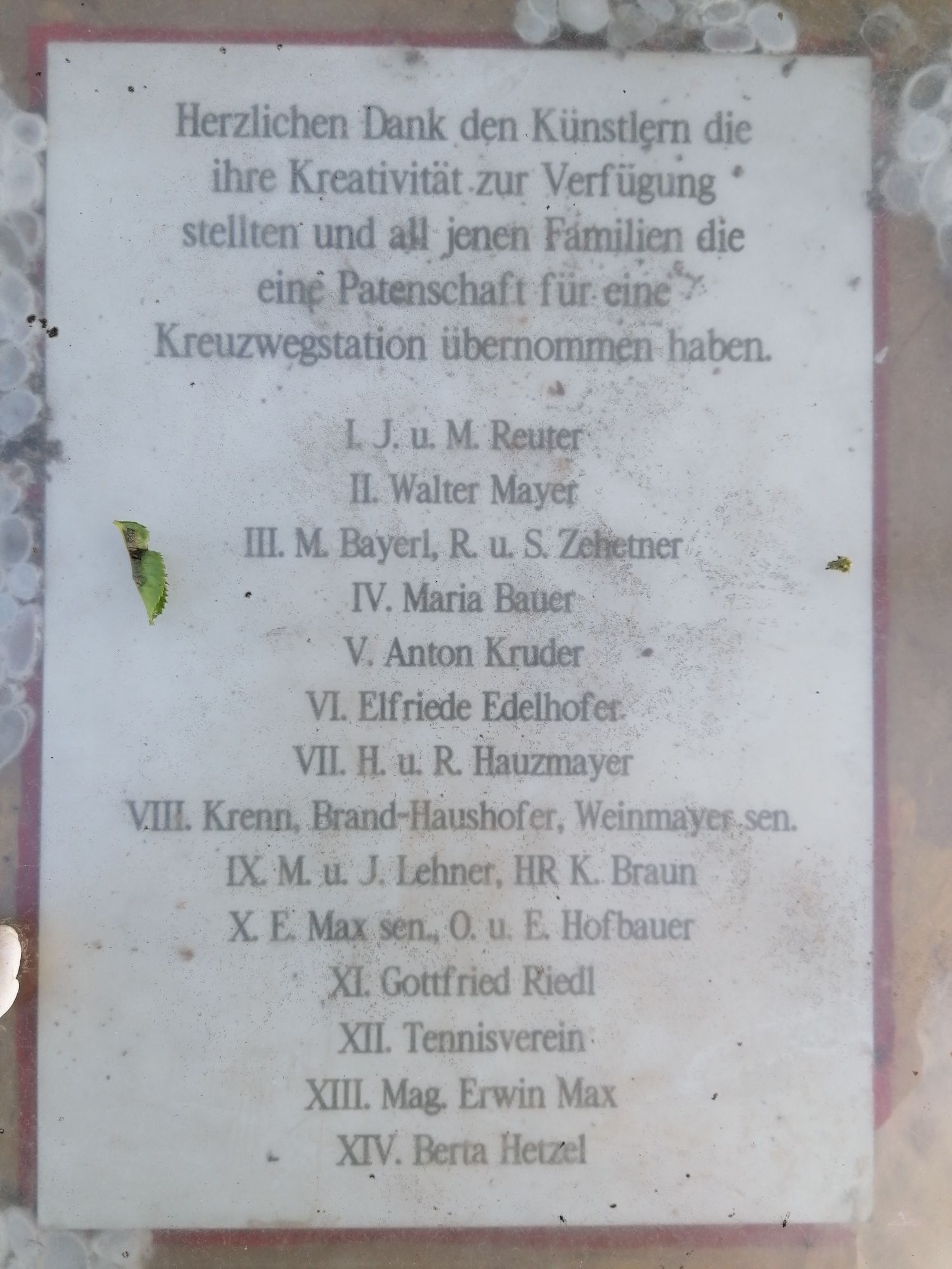
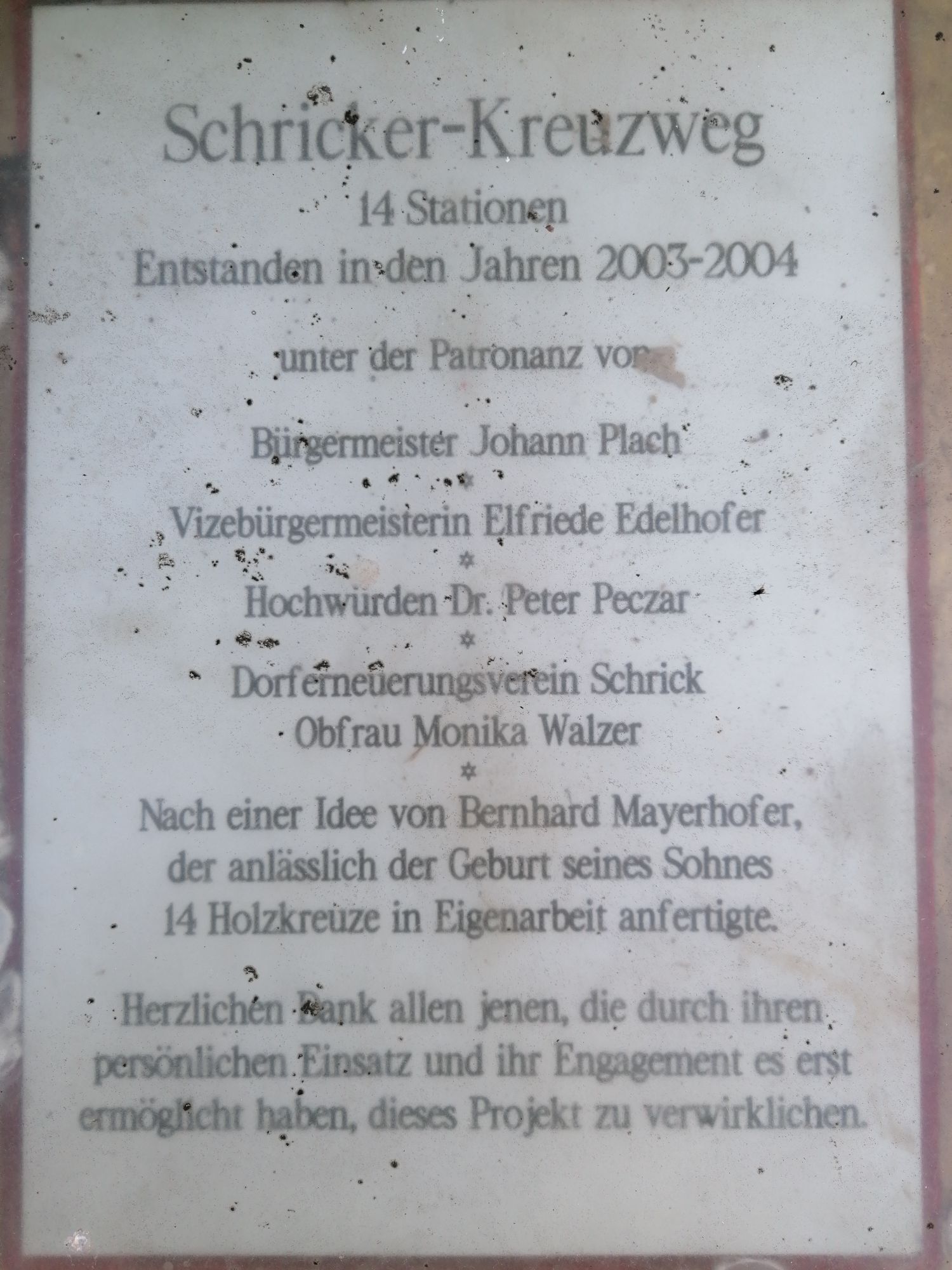
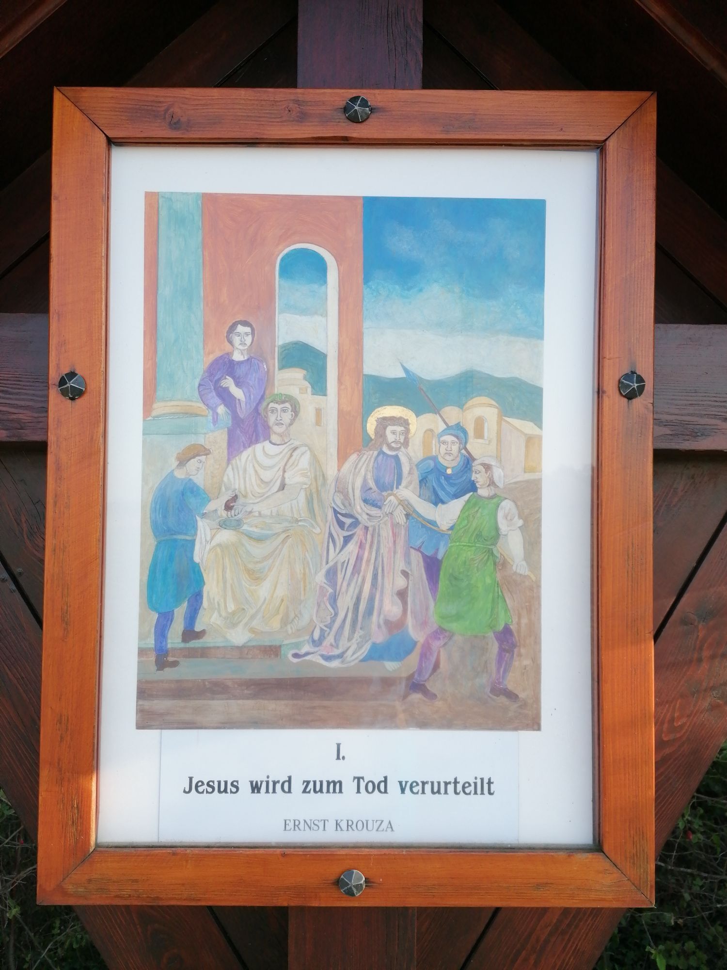

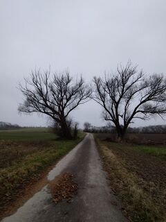
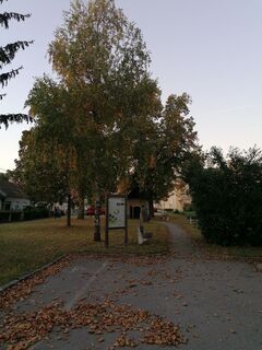
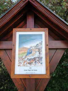
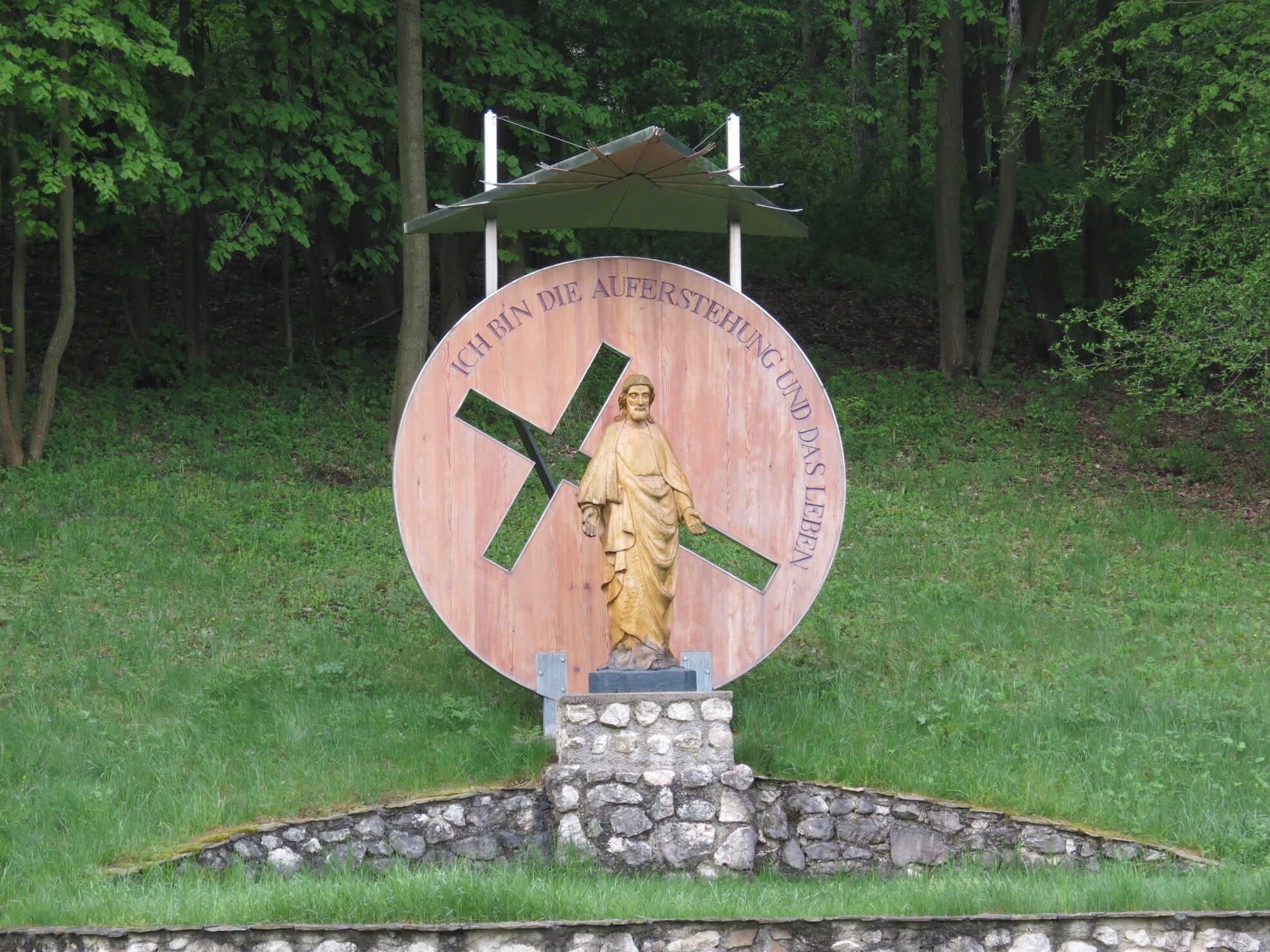
28 locations in the small region southern Weinviertel are included in the route with about 135 kilometers, which leads through three deaneries of the Archdiocese of Vienna, respectively two political districts....
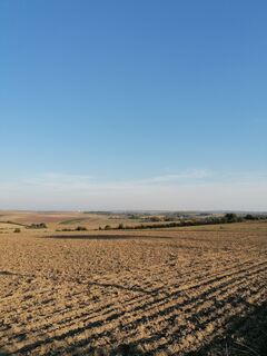
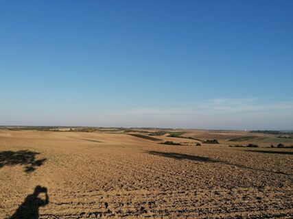
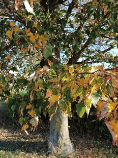
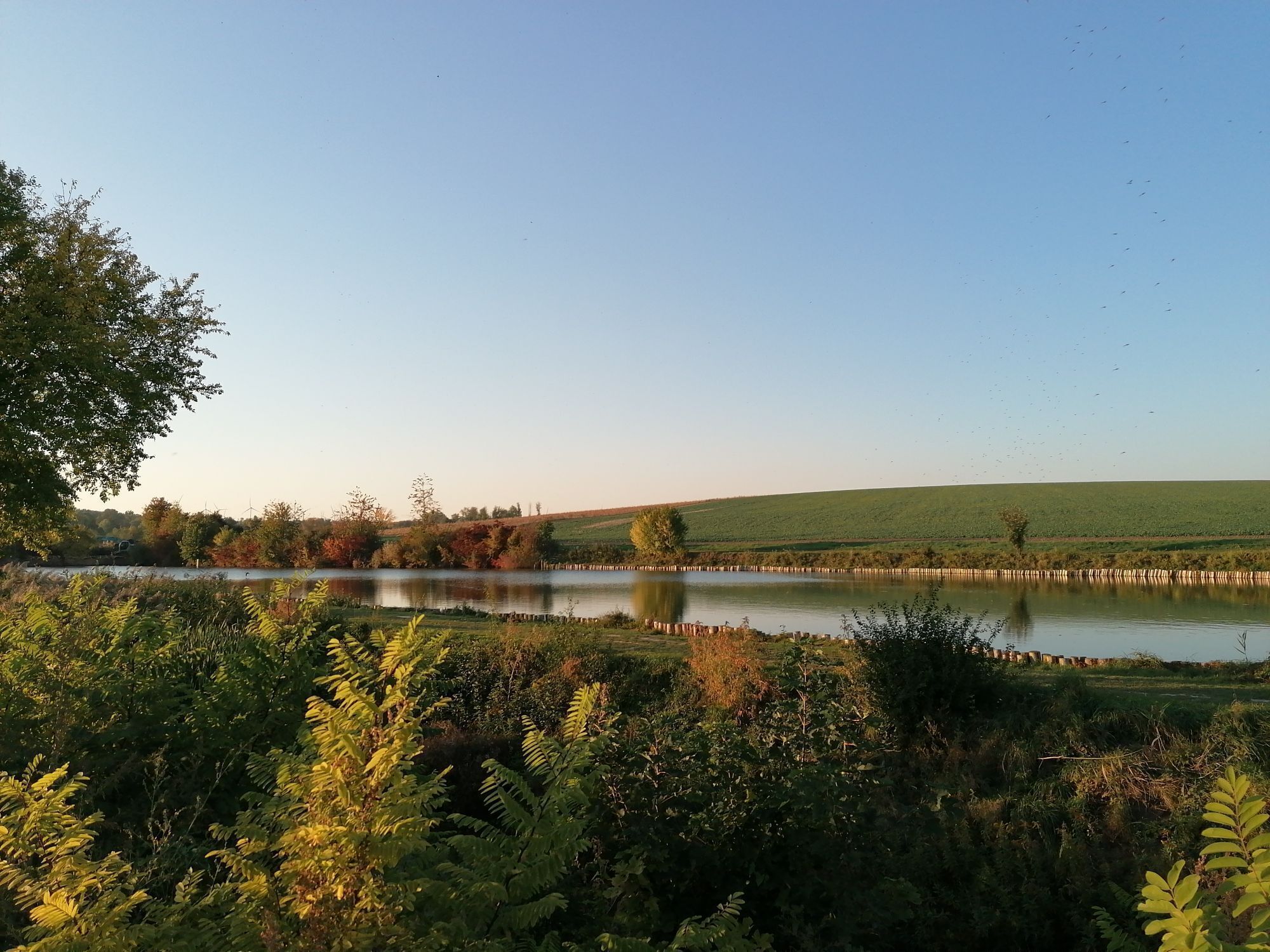
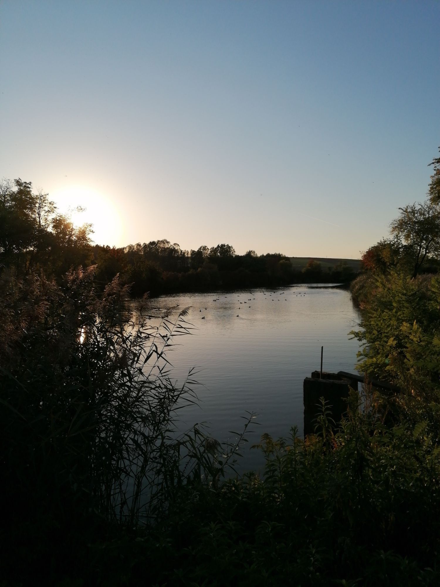
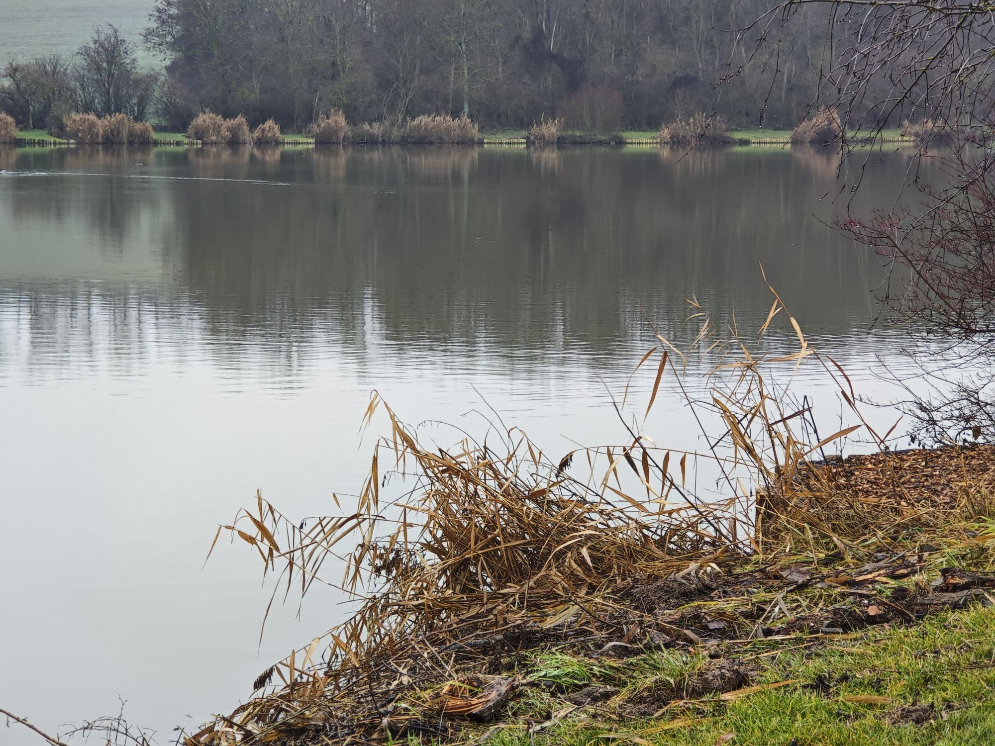
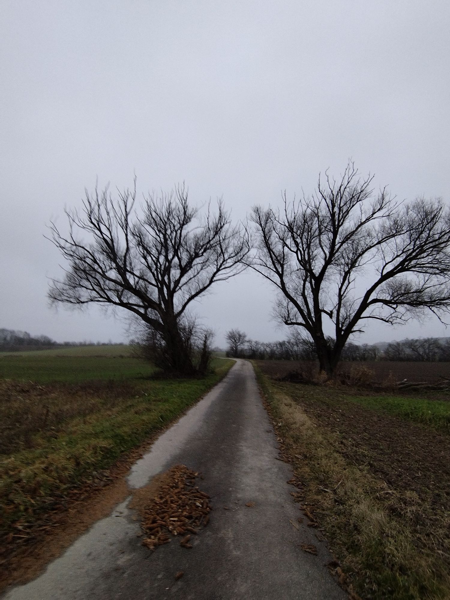
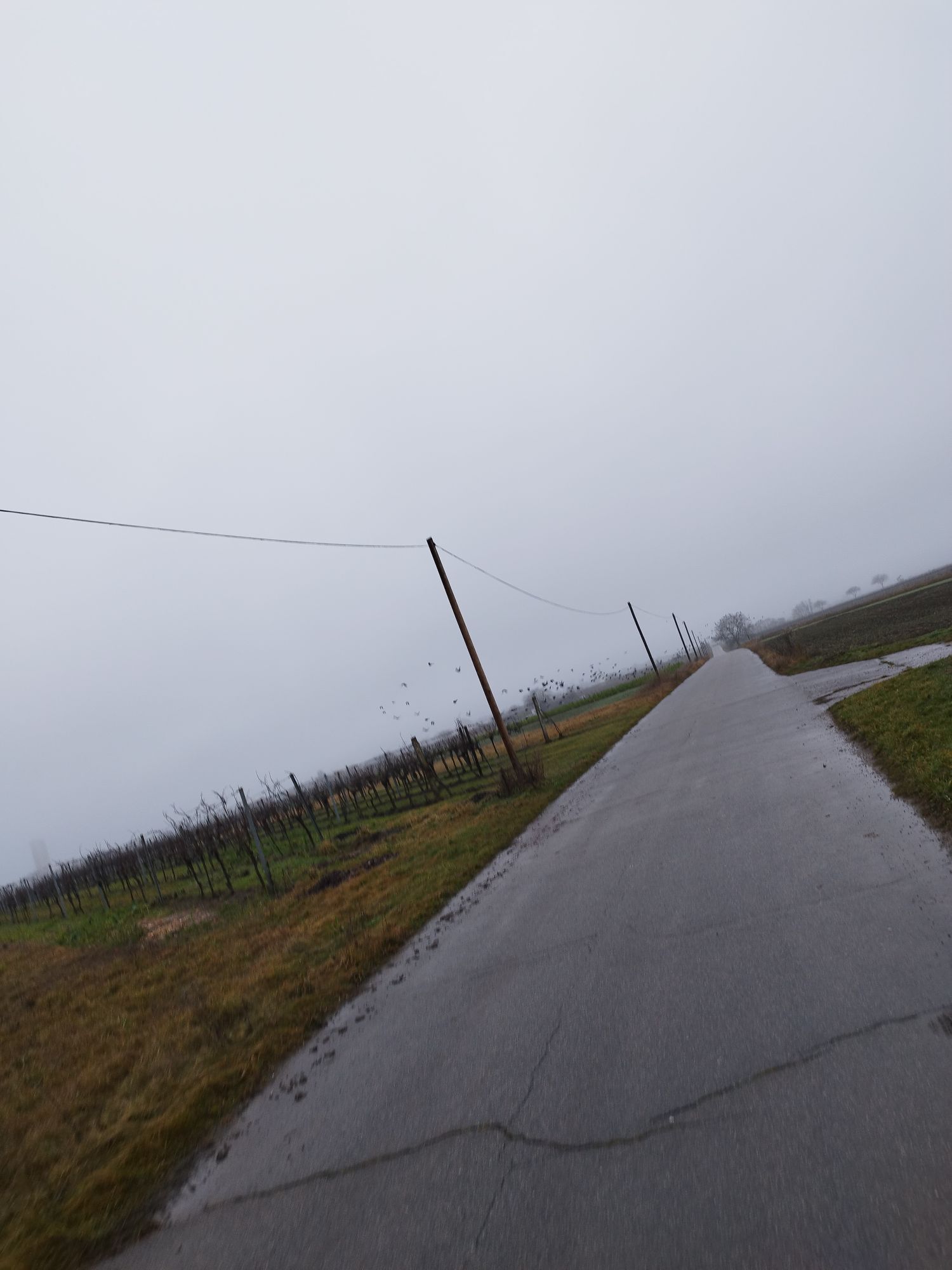
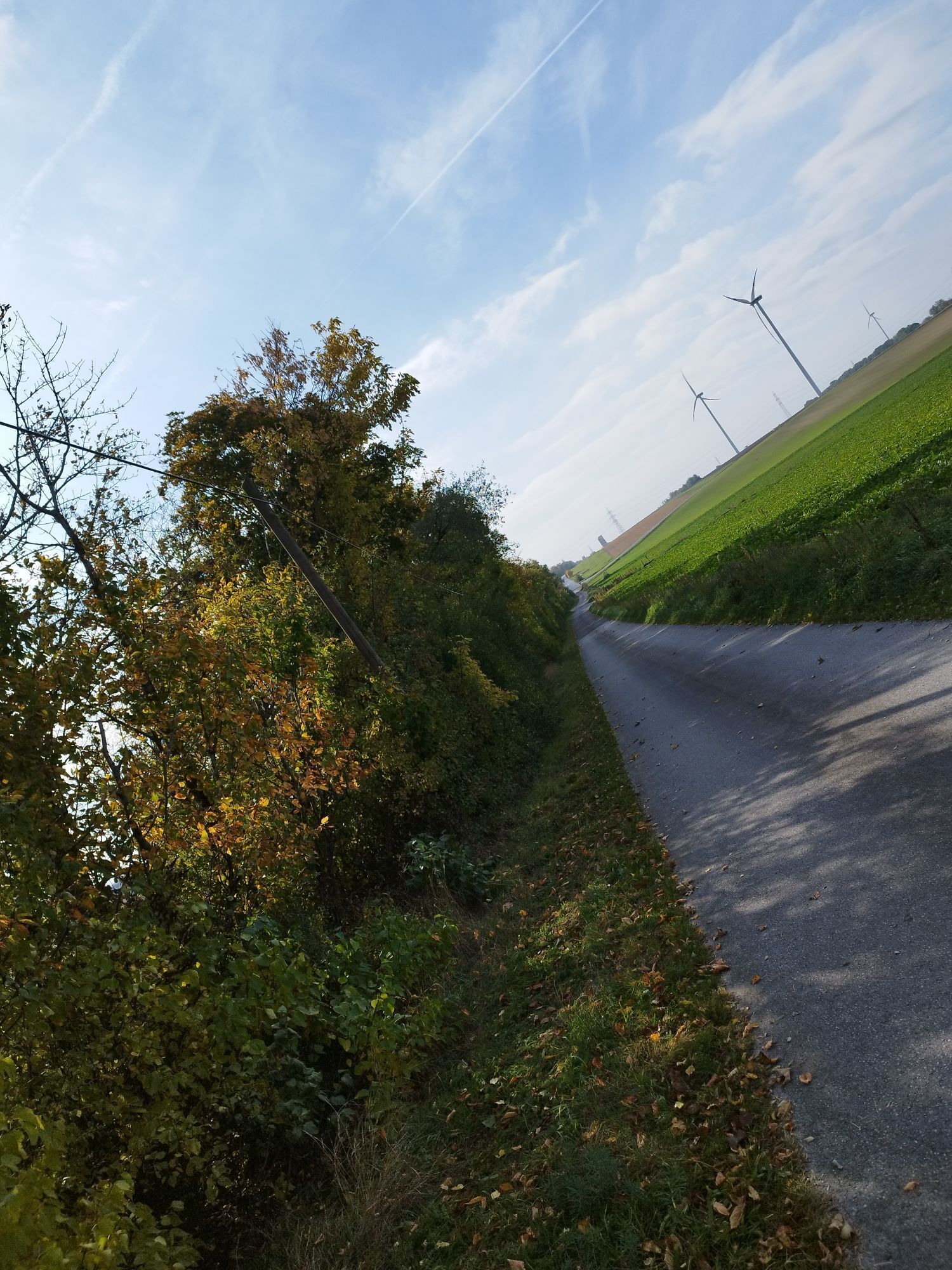
28 locations in the small region southern Weinviertel are included in the route with about 135 kilometers, which leads through three deaneries of the Archdiocese of Vienna, respectively two political districts. It is quite manageable for classic walkers in a holiday week and presents the beautiful southern Weinviertel. The recommended circular route starts in Bad Pirawarth, but it is possible to 'get on and off' at any of the 28 locations at any time. To admire are the vastness of the Lower Austrian Marchfeld, which meets the gently rolling and diversely cultivated landscape of the Weinviertel with its unique cellar lanes and barn paths. Hiking through the varied landscape, lively bird song in open nature ... that refreshes body and soul. Weinviertel delicacies and an excellent drop of fine wine contribute to this.
Accompanied on the way:
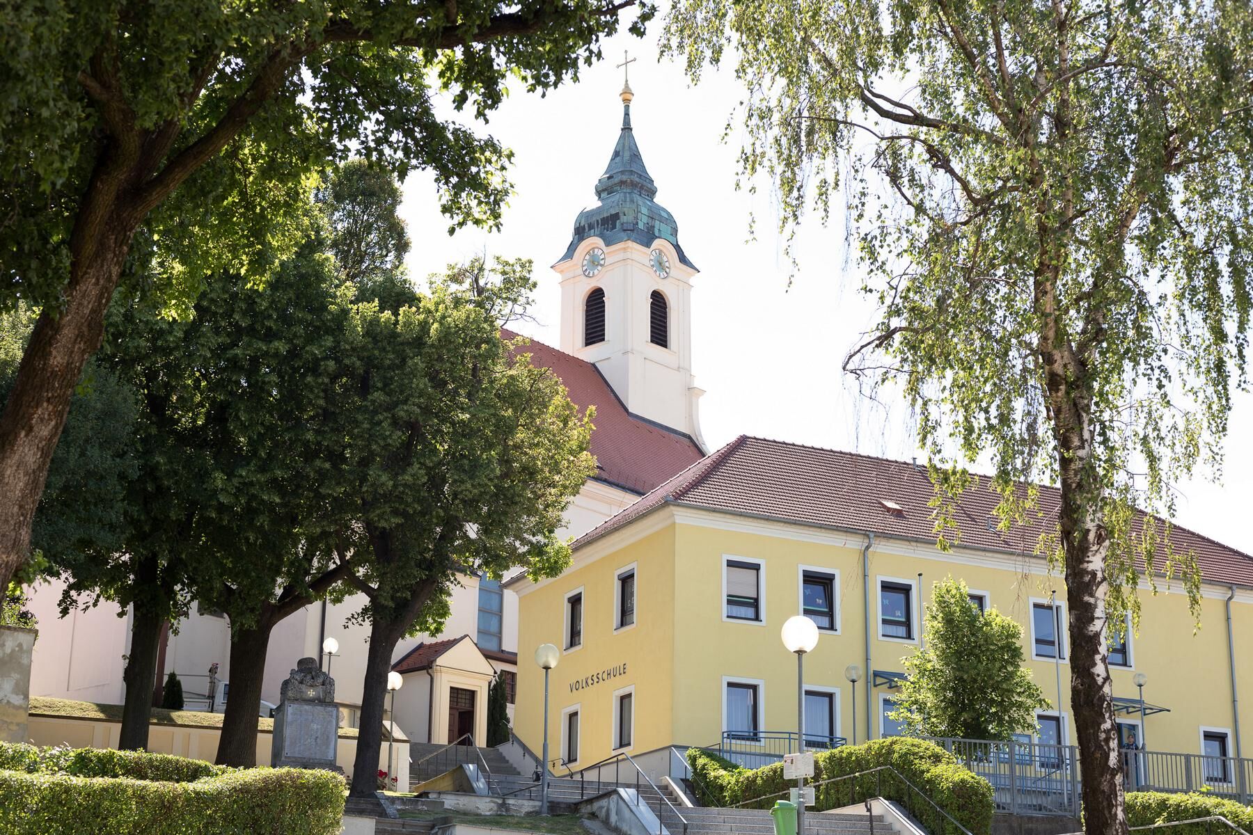
The main route is signposted in one direction (partly supplemented by stickers). The connecting routes for smaller rounds are marked on both sides with stickers. Please note: generally signs or markings can be missing or twisted despite maintenance. Alongside the map material in the route brochure, we offer detailed route descriptions and GPX files for mobile companions. Church steeples also help you to orient yourself locally. If you really stray from the path, you only need to locate your current position on your phone to navigate to the next destination via your phone. Our places are usually only a few km apart, so you should quickly find your way back to the next church and thus back on the right path.
Audioguide: Via phone you can download the app Hearonymus and all sound files for free. If you want, a story forms in your mind: the young Klara enthusiastically explains special features of the places in our region along the way and tells of our 'Weinviertler Sea' – and Francis tells of his life and compares his conversion experience with that of St. Paul. He reports on practical faith experience, on belief in the one loving God worshiped by all three major world religions. Additionally, he gives spiritual impulses, guides to healing meditations and invites reflection. – Klara, in turn, lets us relive the traditional '7 Rusten Pilgrimage', for example.
Download the app and off you go: Hearonymus Audioguide

A detailed route description can be found here.
GPX files for the individual stages can be found here.
Franziskusweg PACKAGE: The practical, reusable zip bag for pilgrims with "everything at one grip" includes the route information brochure with map material and meditation impulses, pilgrimage passport, and the individual Franziskusweg rosary.
The cost is EUR 20 per package.
Here you can order the pilgrimage package.
Tak
Whether here with us or at home: clothing in signal colors/with reflectors increases your safety.
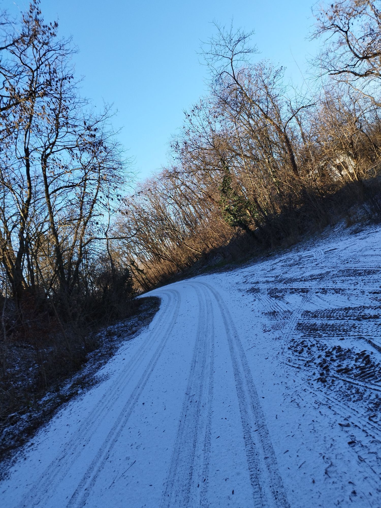
Our paths have different surfaces (partly field paths ['grass carpet path'], gravel or asphalt) - please use suitable footwear. Distances between places are on average about 5 km, the paths are generally classified as 'easy'. Please still pay attention to a pace healthy for you. Also take sun protection, drinking reserves, and for safety muesli bars/apple and tape band.
Pay attention to good time planning à sufficient breaks in nature and churches serve your recovery (for body, mind, and soul).
& please: In advance, inquire about available room capacities, current opening hours, as well as local, cultural, and Christian offers/events of your interest.
- Choose suitable footwear and appropriate clothing
- Pack your luggage efficiently and light
- Don’t forget medication and first aid equipment
- Our paths are for hiking and pilgrim/foot pilgrimages
- Not all sections are open for other means of transport (bike, horse..)!
- The path can also be walked in individual sections ('taster') rounds. You do so at your own risk.
- Walk only in good visibility (avoid forest paths at dusk)
- We ask you to be considerate of nature and people (noise, waste), so your chances of observing local wildlife also increase
- Please observe (possibly seasonal) warnings
From Vienna via the North Motorway A5, after about 25 km: Exit 'Hochleithen'.
Coming from the north A5 exit 'Gaweinstal Nord'.
VOR timetable information at: https://anachb.vor.at/
At the starting point directly at the access to the church, as well as above, sufficient parking spaces are available.
https://www.franziskusweg-weinviertel.at/
Support before, during and after the path: https://www.franziskusweg-weinviertel.at/downloads
Some walk paths for health or sports reasons or to enjoy nature. Others seek community, and still others spiritual retreat and peace to come to terms with themselves and to converse with God. On the Franziskusweg in the Weinviertel, everything is possible. (Auxiliary Bishop Stephan Turnovszky)
The initiator: The path is NOT the destination. That means, don’t walk the path just to tick it off a list - you would miss out a lot! My recommendation: immerse yourself in it. Take your time! Walk consciously and with all your senses. Pay attention to the many impressions you will encounter. Take time to let them work and resonate. You will see how good that feels.
Tips:
Nature trail Hohenruppersdorf Kellergassen circular route Bible path Ebenthal-Spannberg-Velm GötzendorfNumerous excursion tips as well as accommodation or refreshment options can be found at www.weinviertel.at.
Popularne wycieczki w okolicy
-
4,0
Matzner Hügel und -Wald
światłoWędrówka 12,0 km -
4,4
»tut gut« Wanderweg Sulz im Weinviertel | Route 1
światłoWędrówka 3,79 km -
3,2
Wolkersdorfer Weinberge
światłoWędrówka 13,2 km -
4,5
»tut gut« Wanderweg Bad Pirawarth | Route 2
światłoWędrówka 6,02 km -
Hochleithenwald, Kellergassen, Hügelgrab
światłoWędrówka 14,7 km -
5,0
Auwanderweg
Wędrówka 7,16 km -
5,0
Wolkersdorf/Weinviertel RDW
średniWędrówka 13,4 km -
4,5
»tut gut« Wanderweg Gaweinstal | Route 3
ciężkiWędrówka 8,77 km -
4,8
Groß-Schweinbarth Hohlwegrunde
światłoWędrówka 4,82 km -
4,6
»Tut gut« Schritteweg Bockfließ
światłoWędrówka 7,08 km
Wędrówki i tropienie


Nie przegap ofert i inspiracji na następne wakacje
Twój adres e-mail została dodana do listy mailingowej.