



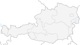


Marterlweg Edlitz
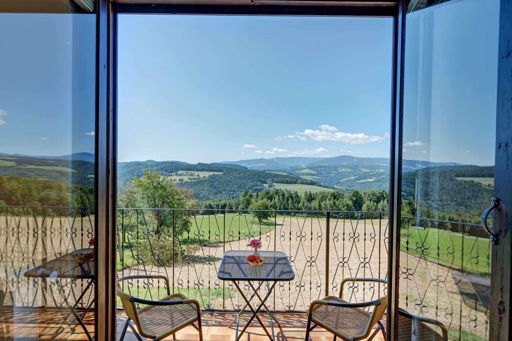
Nineteen wayside shrines can be found in this area. If you want to visit them all, you will have to walk a long way. The reward is numerous views of the 1000 hills of the Bucklige Welt and the neighboring...
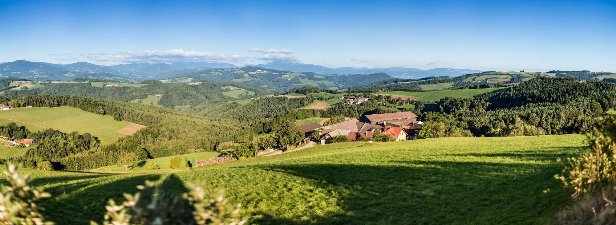
Nineteen wayside shrines can be found in this area. If you want to visit them all, you will have to walk a long way. The reward is numerous views of the 1000 hills of the Bucklige Welt and the neighboring Alps. The route can also be shortened at various points.
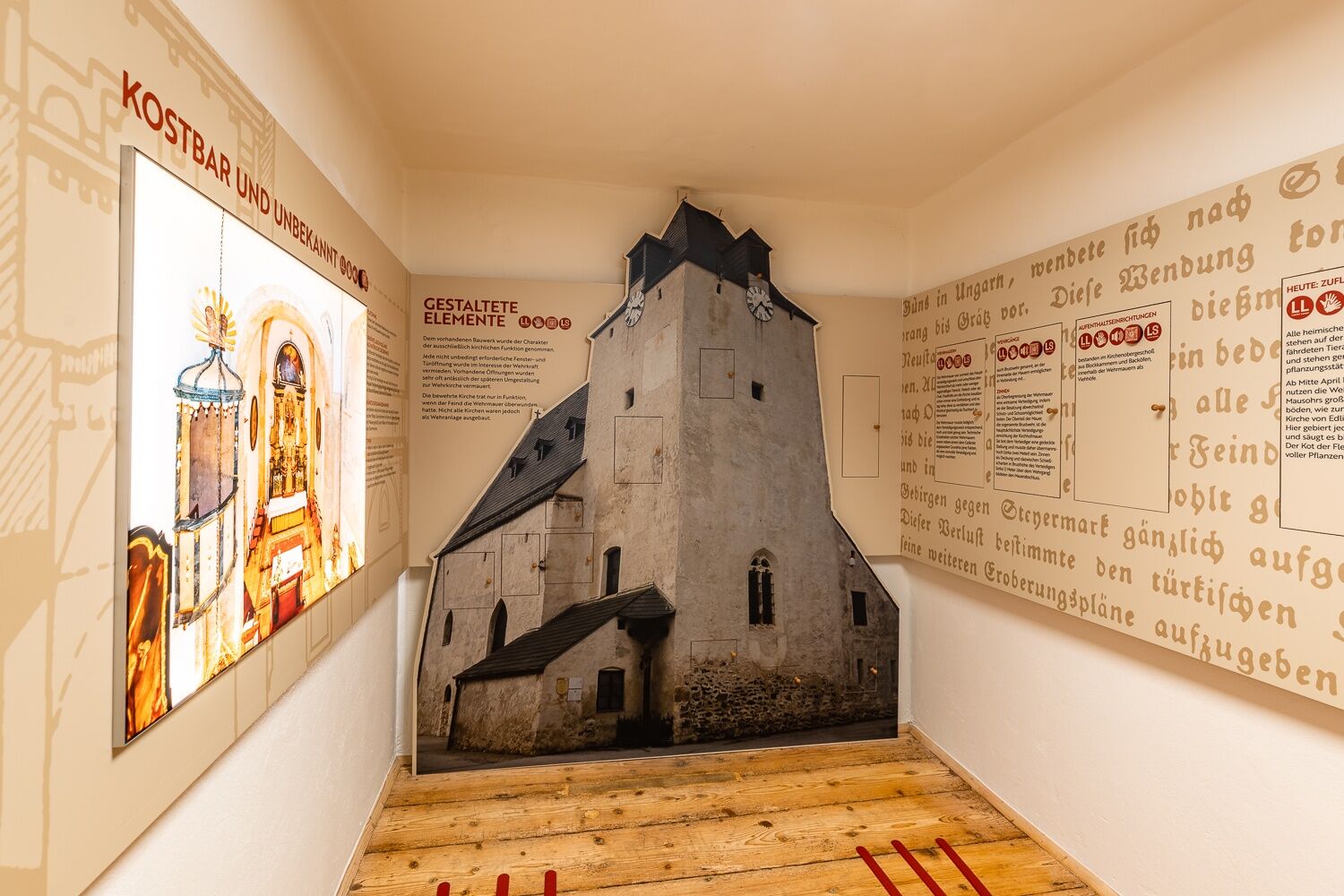
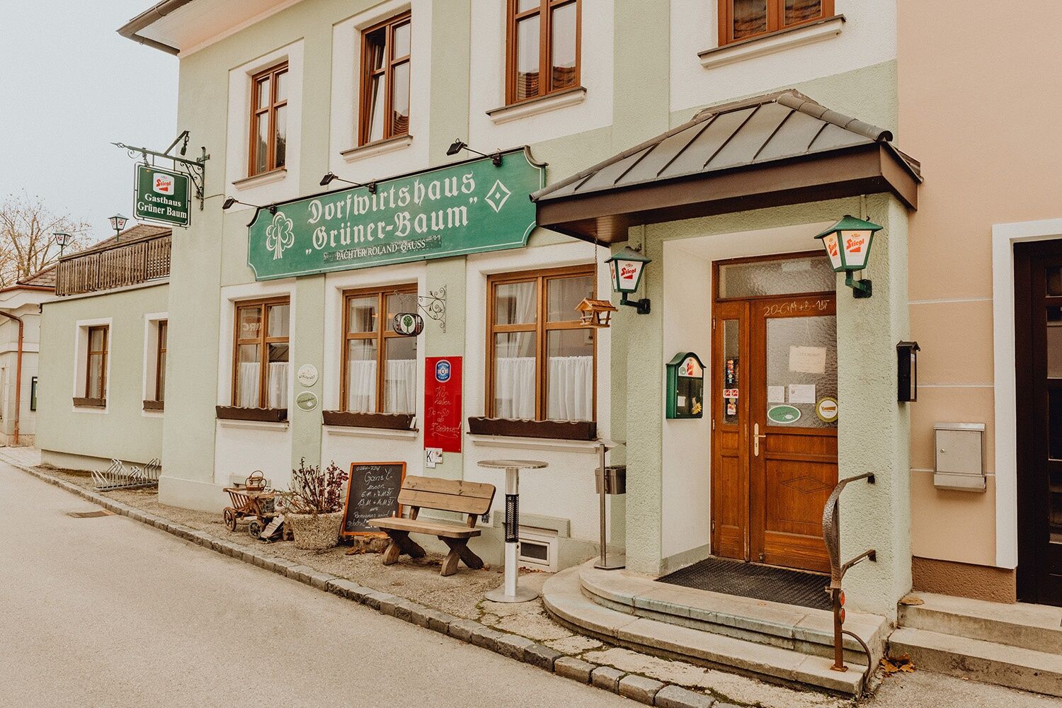
In the village of Edlitz, you can stop for a bite to eat at the Taverne Grüner Baum inn, which serves traditional tavern fare or Greek cuisine, and the fortified church documentation provides an interesting insight into the history of the region.

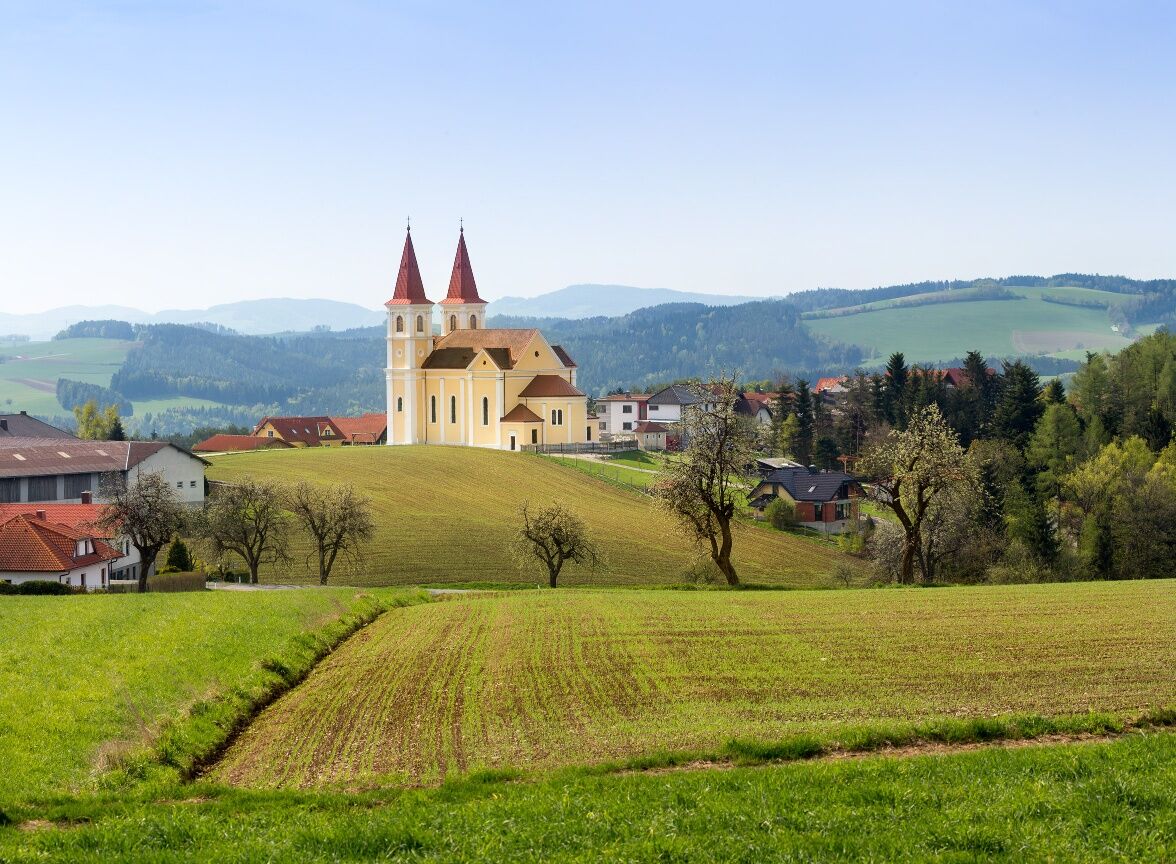

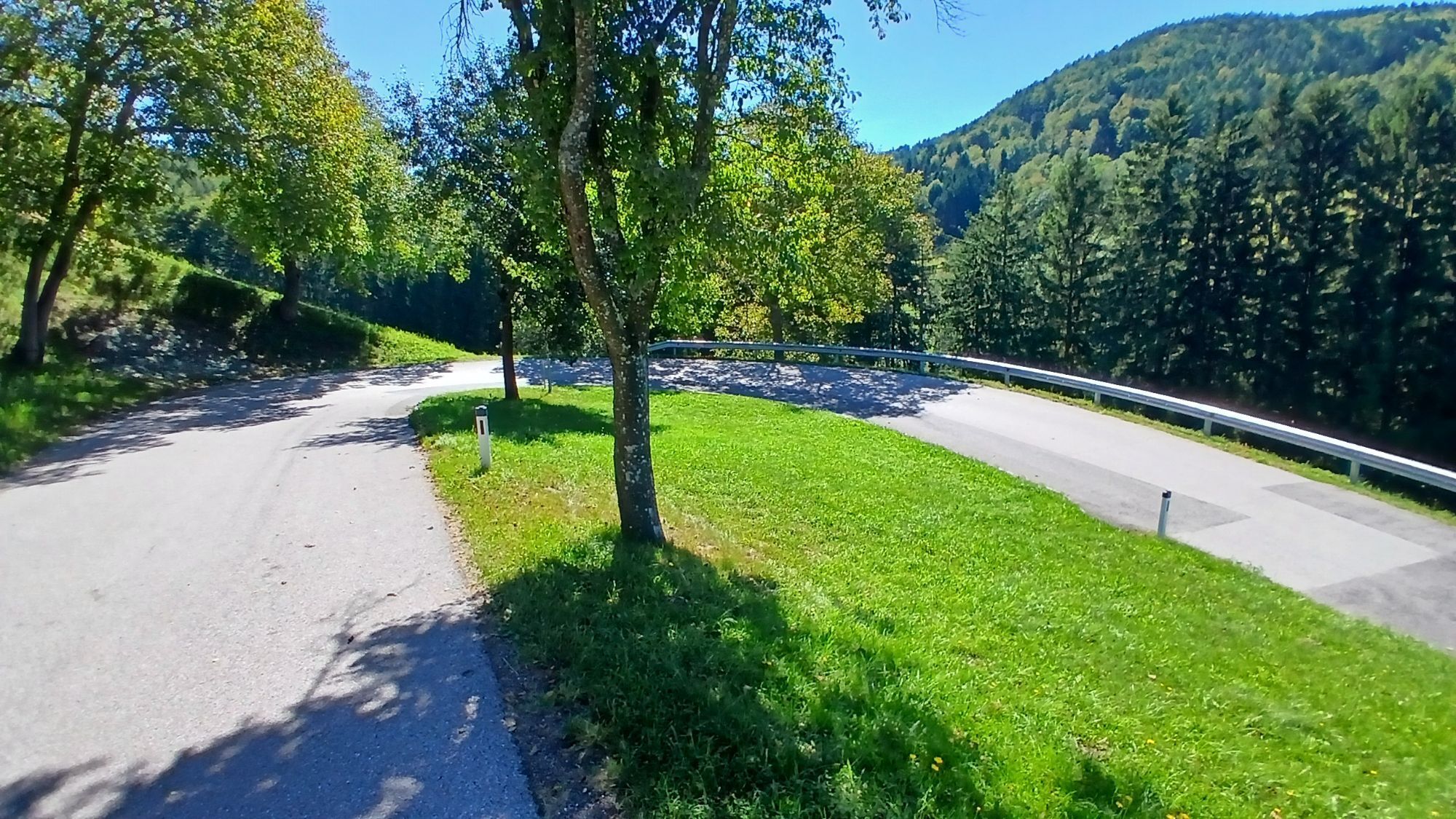
The path is marked in orange and is called Marterlweg. The start is in the center of Edlitz, walk through the market to the parsonage and turn right onto the hollow path. Follow the path to the Schafferhof and continue straight uphill. After 500 meters continue straight towards Pangart. Upon reaching the asphalt road, turn left again towards the former inn Handler until the Panoramastraße junction. Continue right about 300 meters to the junction. Here turn left to Dermahof and continue right along the marking to the paved road, then turn right and continue about 500m to the next junction, then turn left towards Hofstetten. Turn right here and follow the marked path until it leads back to Prägart on the Panoramastraße. Follow this to the right to the beginning of the settlement Winterhof. At the single-family house, turn right down the unpaved marked path to the wayside shrine and continue left towards Winterhof. Upon arrival, continue right about 150m along the Panoramastraße. Then follow the marking to the right until Wiedner Straße and go right to Wieden. There, at the farm association, follow the marking to the right via Hofstatt towards Edlitz, back to the starting point in the town center.
Always take suitable maps with you. Wear sturdy shoes adapted to the route, bring sun and rain protection as well as water and a small snack. Take your mobile phone and save the emergency number of the mountain rescue: 140
Your hikes in the Vienna Alps should be a thoroughly beautiful and safe experience. Please therefore observe the following:
The route is not suitable for strollers!
Preparation
Make sure when choosing the route that it matches your experience and fitness. Inform yourself beforehand about the weather forecast. Weather in the mountains can change surprisingly fast. Therefore, always start out properly equipped (e.g., rain protection).
Check whether huts and snack stations you want to visit along the way are open. Inform someone about your chosen route and planned return before you start.
From Vienna: via the Südautobahn A2, take the Edlitz exit. Drive towards Edlitz. Turn left onto Kirchschlager Str./B55. Continue on B55 to Edlitz. Turn left onto Markt.
From Graz: via the Südautobahn A2, take the Grimmenstein exit. Drive towards Grimmenstein. At the fork keep right and continue on Wechsel Str./B54. After the Edlitz-Grimmenstein train station, turn left onto Kirchschlager Str./B55. Continue on B55 to Edlitz and turn left onto Markt.
Take the regional train (direction Aspang Markt) or a regional express from Wr. Neustadt main station to the Edlitz-Grimmenstein stop. From there take the regional bus towards Edlitz to the Volksschule/Hauptschule stop. Pay attention to the timetables.
More information at www.oebb.at and www.vor.at
Parking available in the town center.
Municipality of Edlitz, www.edlitz.at +43 / 02644 / 7250
Vienna Alps in Lower Austria, www.wieneralpen.at +43 / 2622 / 78960
Edlitz offers two real insider tips for overnight guests:
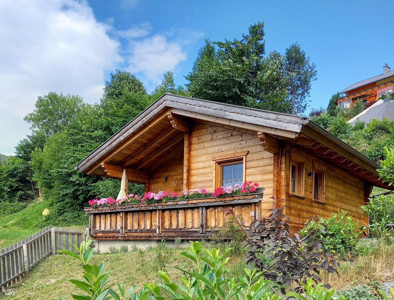
Farm holiday at WachahofDas Paradieschen - holiday cottage for twoDining:
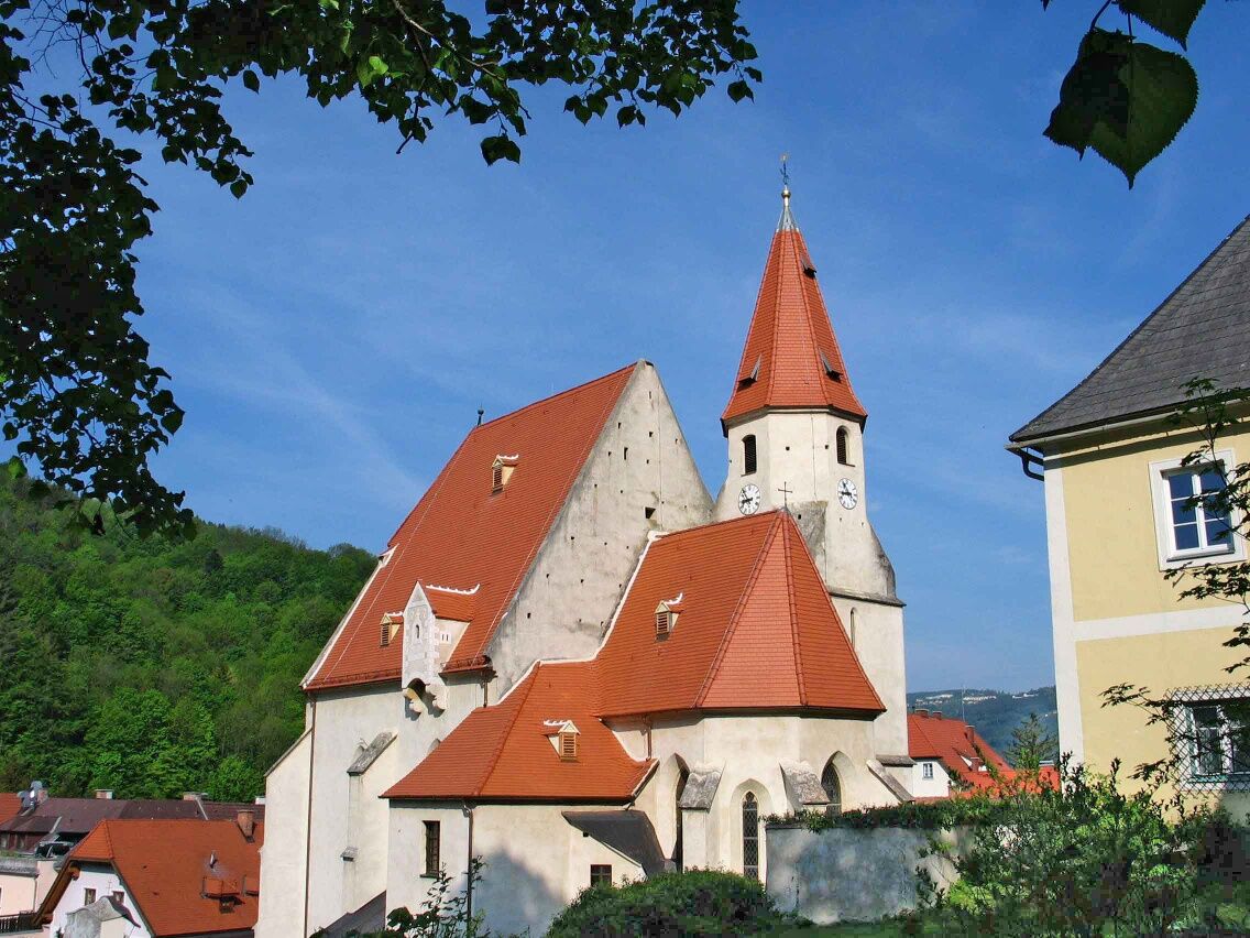
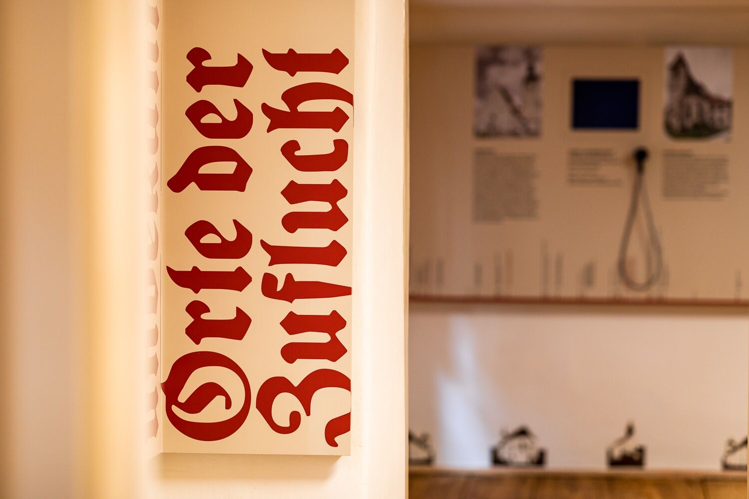
Gasthaus Taverne Grüner BaumThe region is strongly shaped by the defensive churches and their history. The topic is well prepared in the Wehrkirchendokumentation in Edlitz, which is also interesting tactically/sensorially for visually impaired persons. The modern exhibition is accessible after collecting the key from the municipal office or at Gasthaus Taverne Grüner Baum.
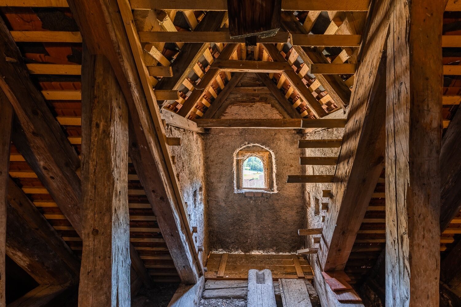
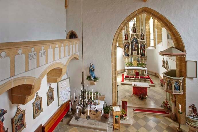
The defensive church in Edlitz can also be visited by appointment at the municipal office and is considered one of the most beautiful and interesting examples.
Popularne wycieczki w okolicy
- 3,8
St. Corona - Kampstein
średniWędrówka 10,7 km - 4,5
Bucklige Welt: Auf dem Pittentaler Klettersteig zum Türkensturz
średniVia ferrata 1,96 km - 4,1
"Weg der Blicke"
światłoWędrówka 5,86 km - 4,3
Türkensturz Rundwanderung
średniWędrówka 2,56 km - 5,0
Seebenstein - Türkensturz - Burg Seebenstein
światłoWędrówka 7,50 km - 4,5
Bad Schönau - Hutwisch
światłoWędrówka 9,99 km - 4,0
Bucklige Welt: Burg Grimmenstein und Kulmriegel
światłoWędrówka 10,5 km - 4,7
Aspang Hochwechsel Panorama-Runde Wexl Trails mit "The WU"
średniMountainbike 57,5 km - 4,2
Türkensturz große runde
średniWędrówka 11,4 km - 4,4
BAD-SCHÖNAU Hutwisch und wieder zurück 20220611
średniWędrówka 10,8 km
Wędrówki i tropienie


Nie przegap ofert i inspiracji na następne wakacje
Twój adres e-mail została dodana do listy mailingowej.





