


Marienweg stage Kirchschlag - Kirchberg a. Wechsel

From the church, past the "Im Dorner" group of houses, you reach the road to Bad Schönau, which you follow to Krumbach. Here you go to the church and continue on the marked path. You soon cross the highway...
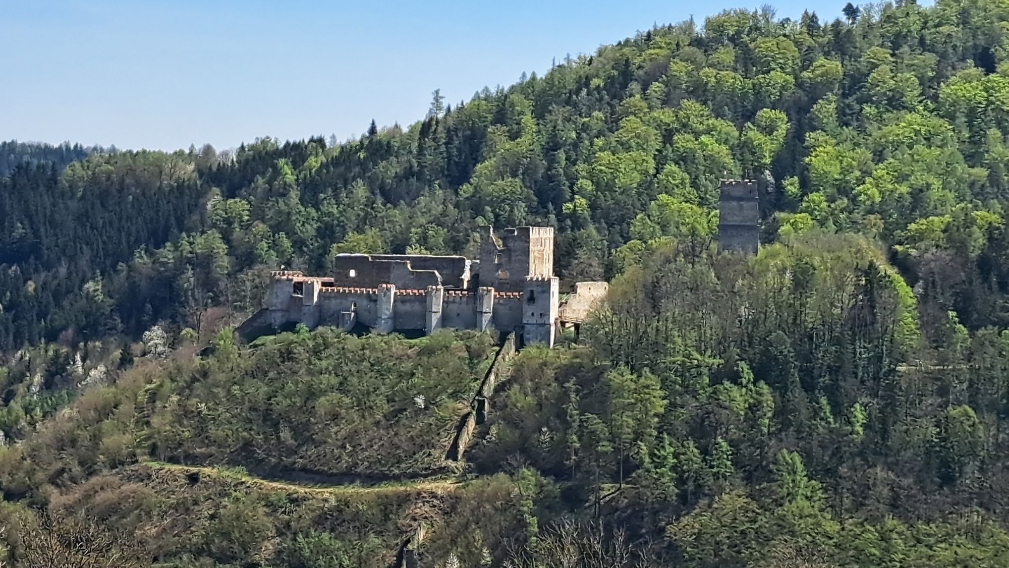
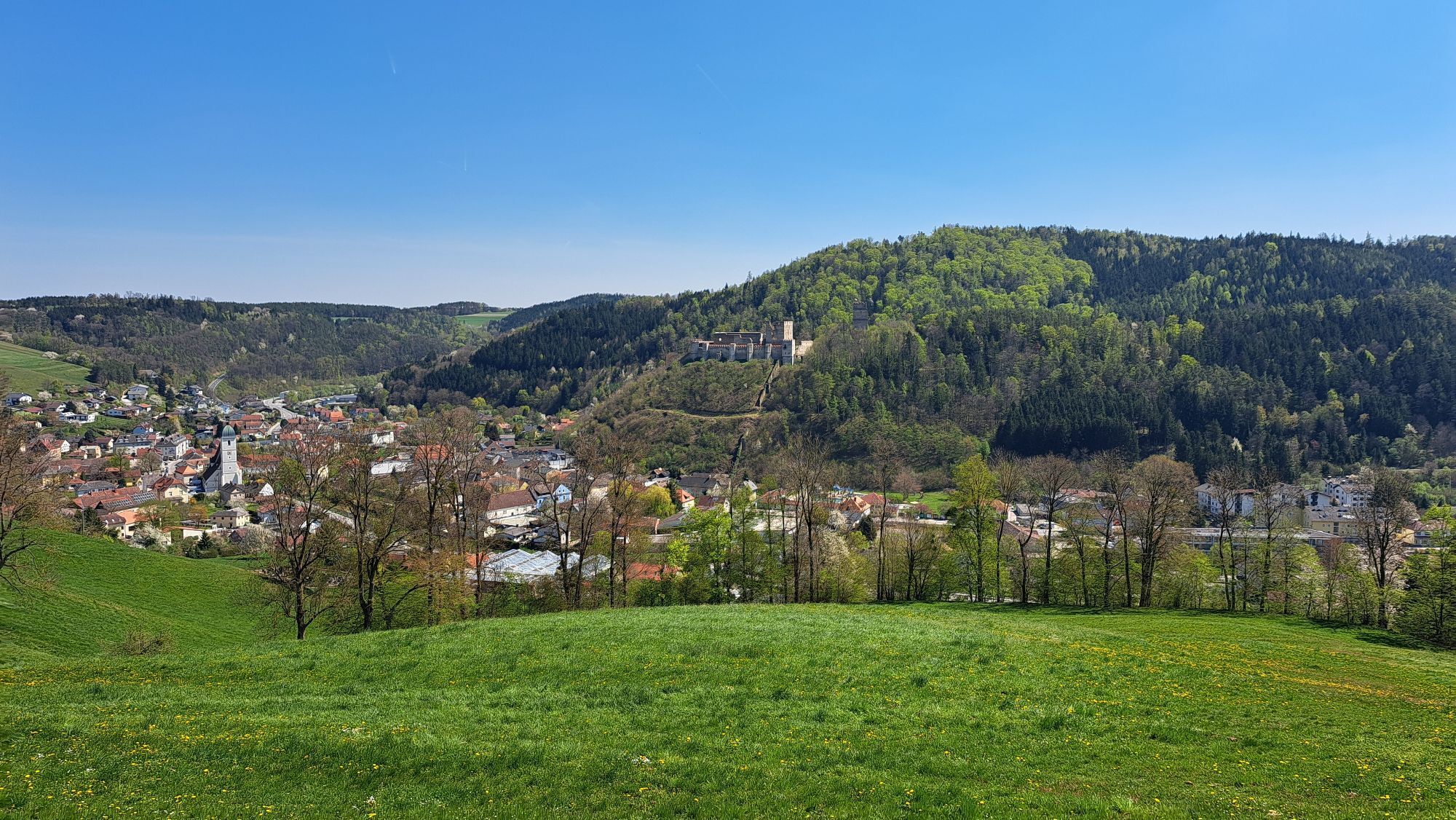
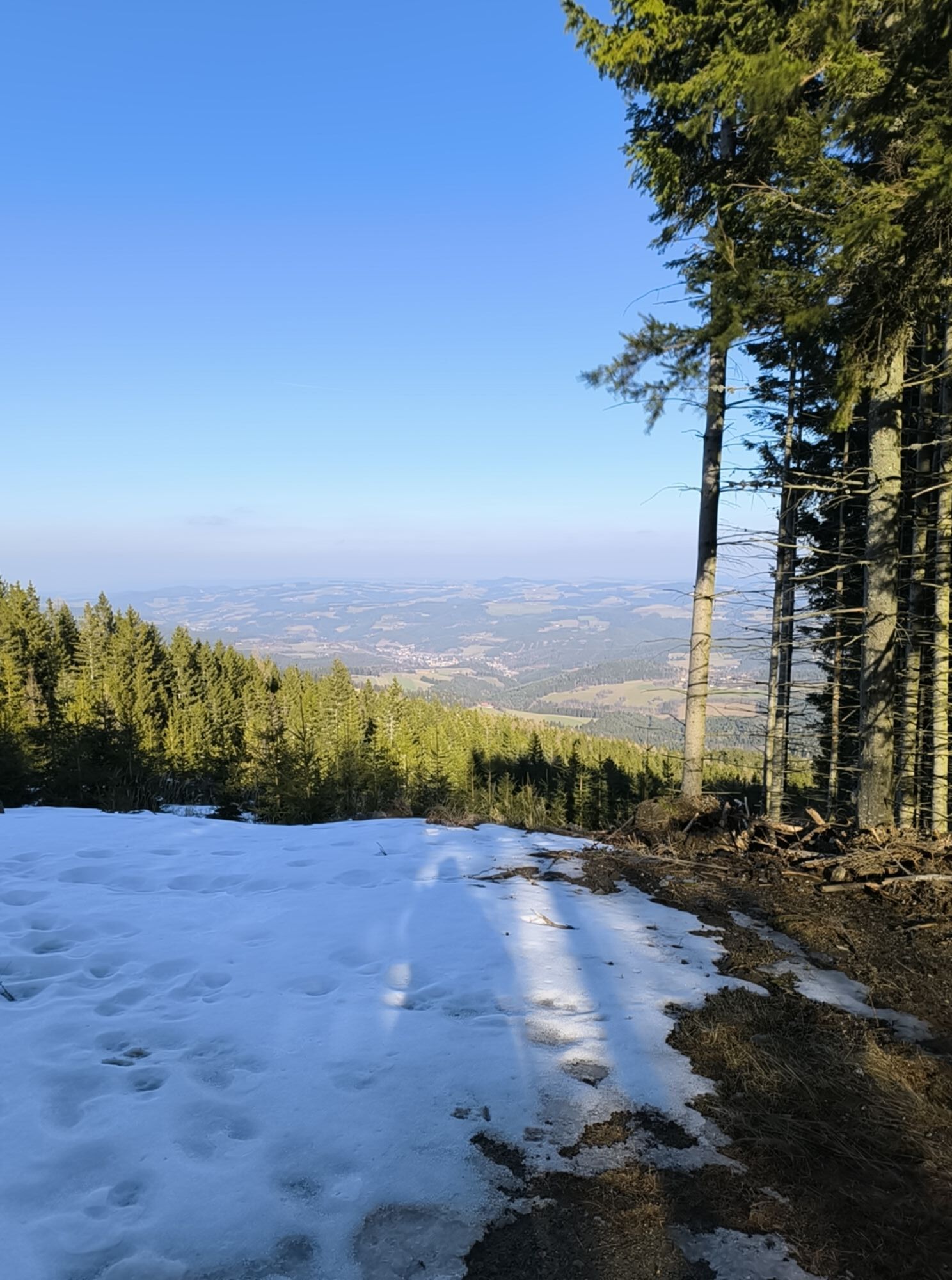
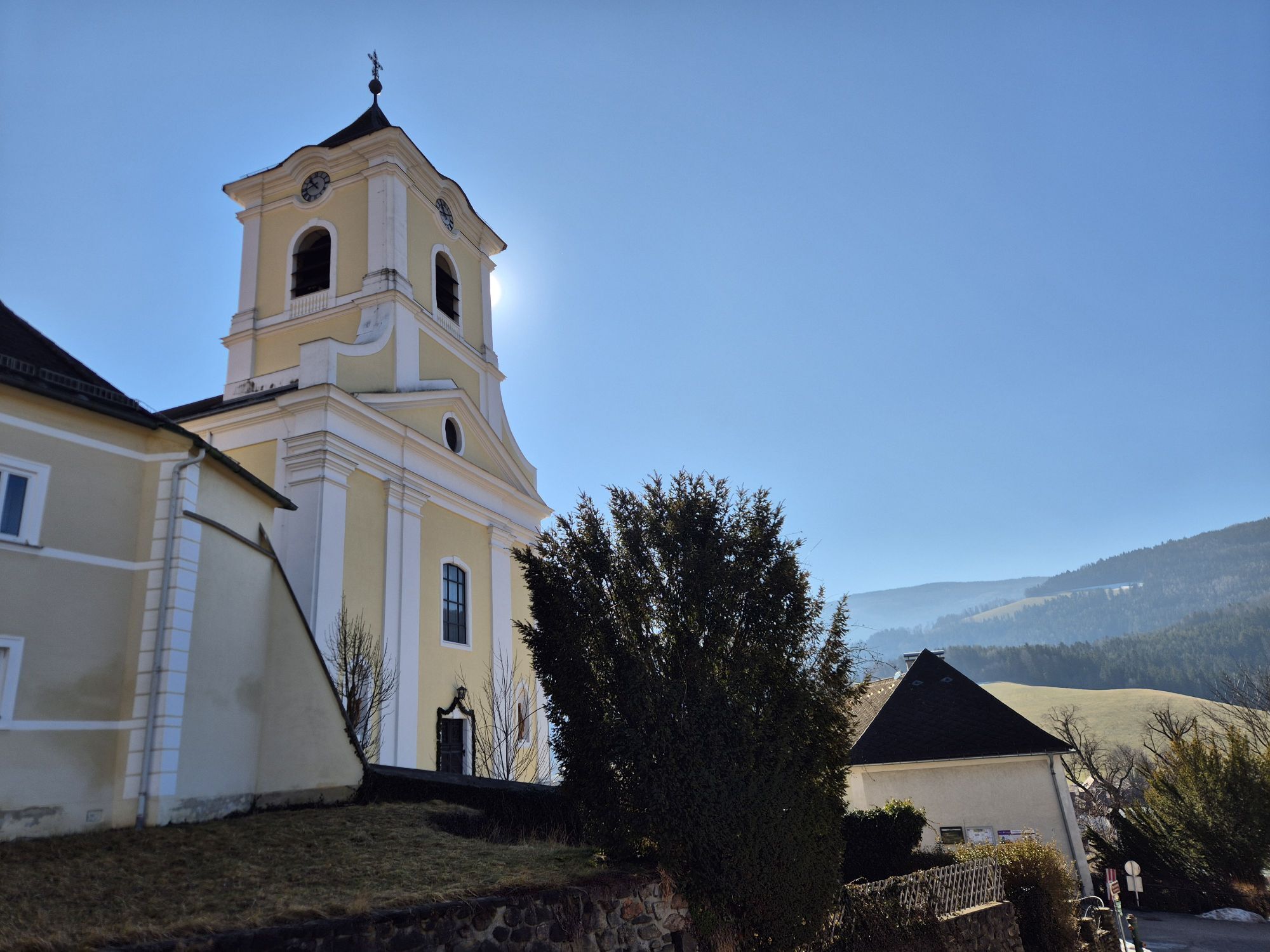
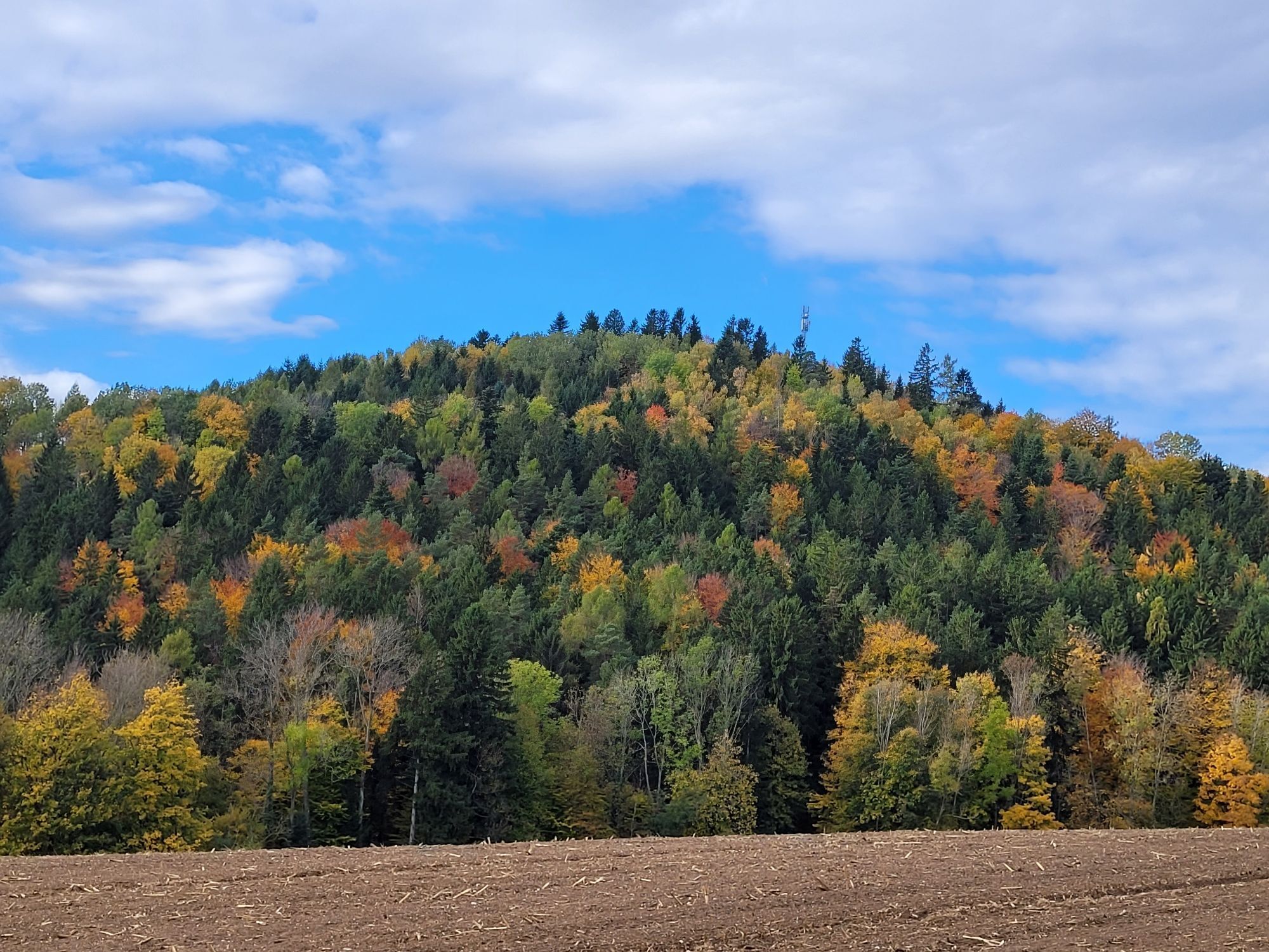
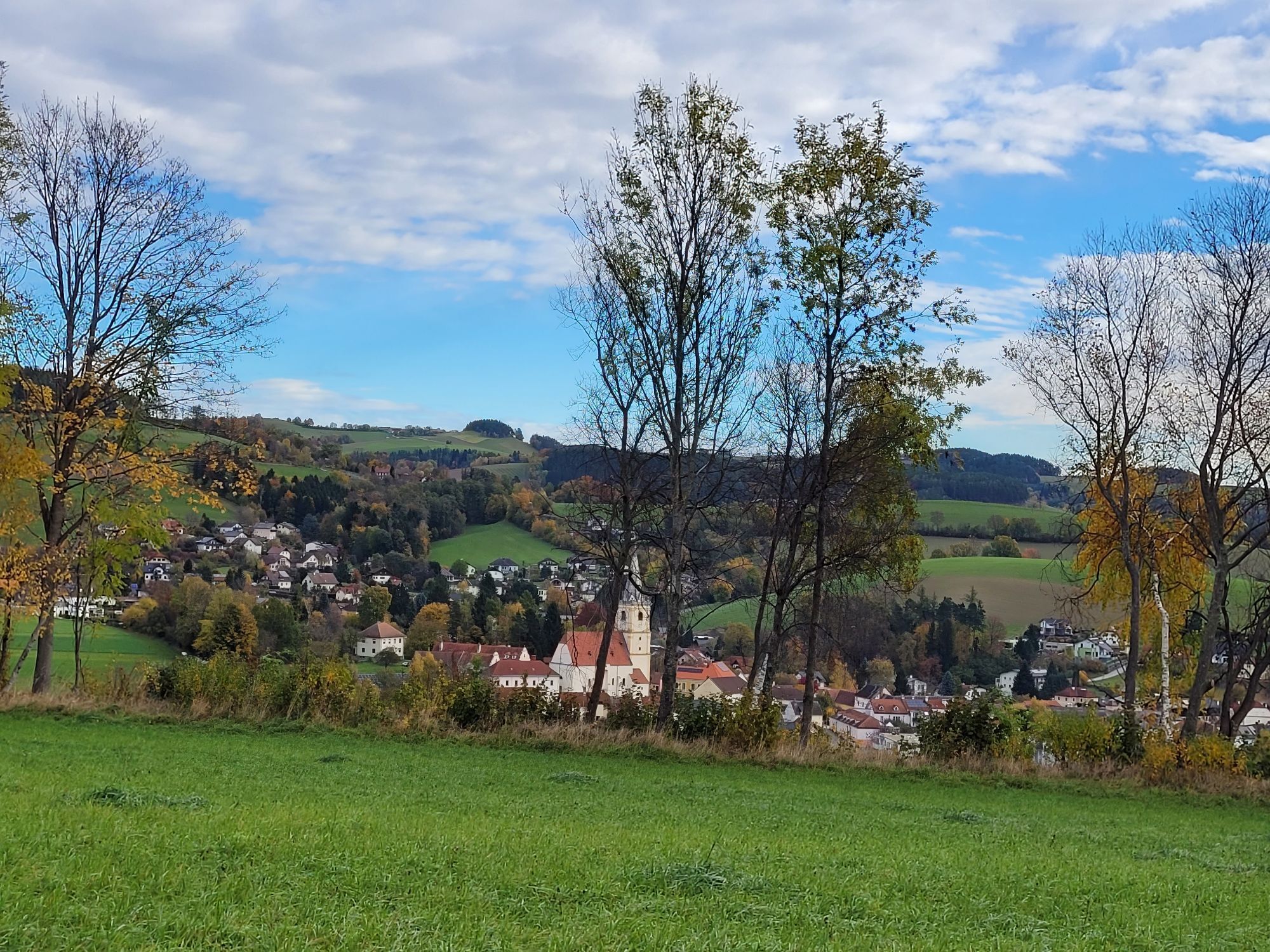
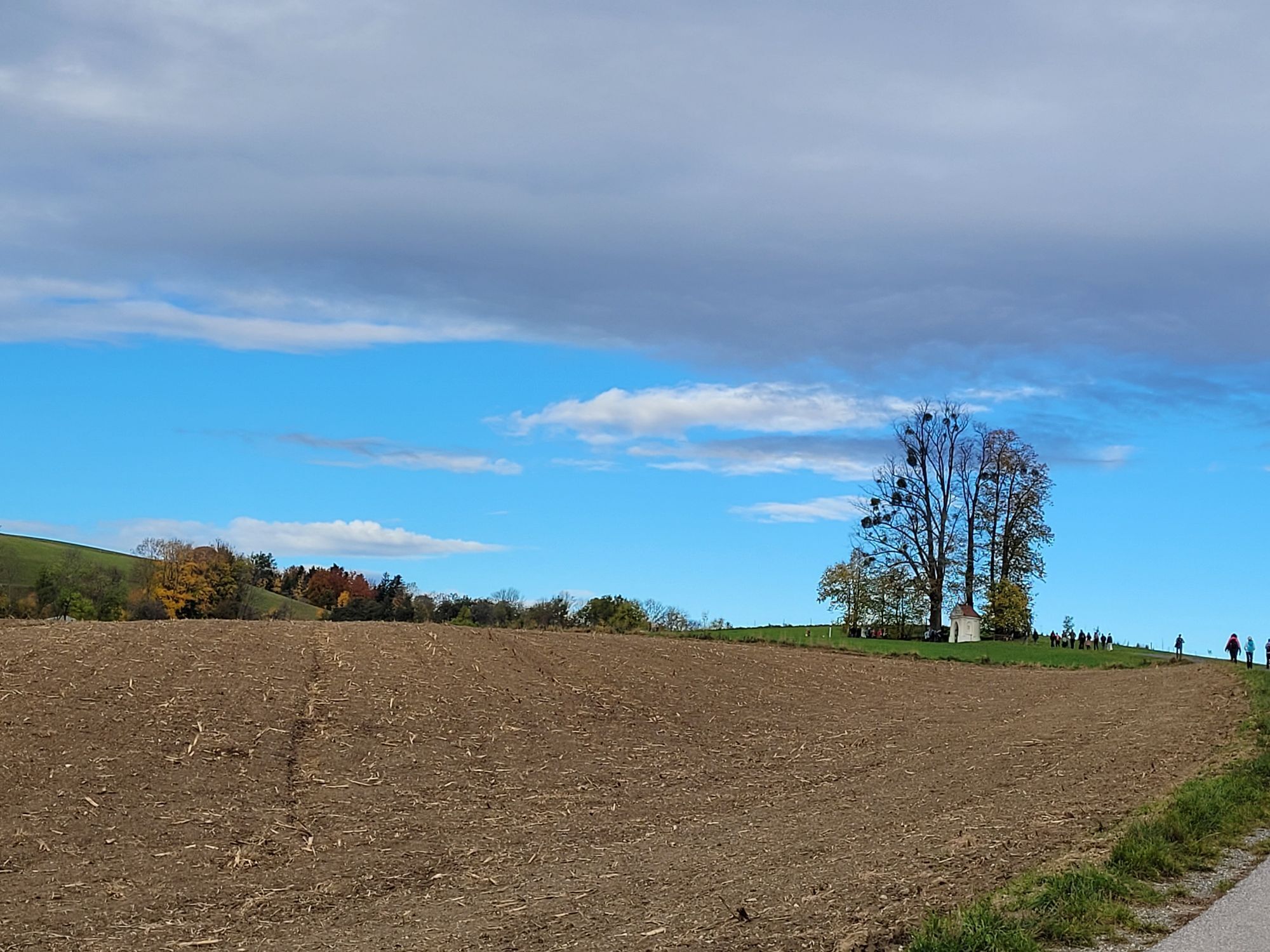
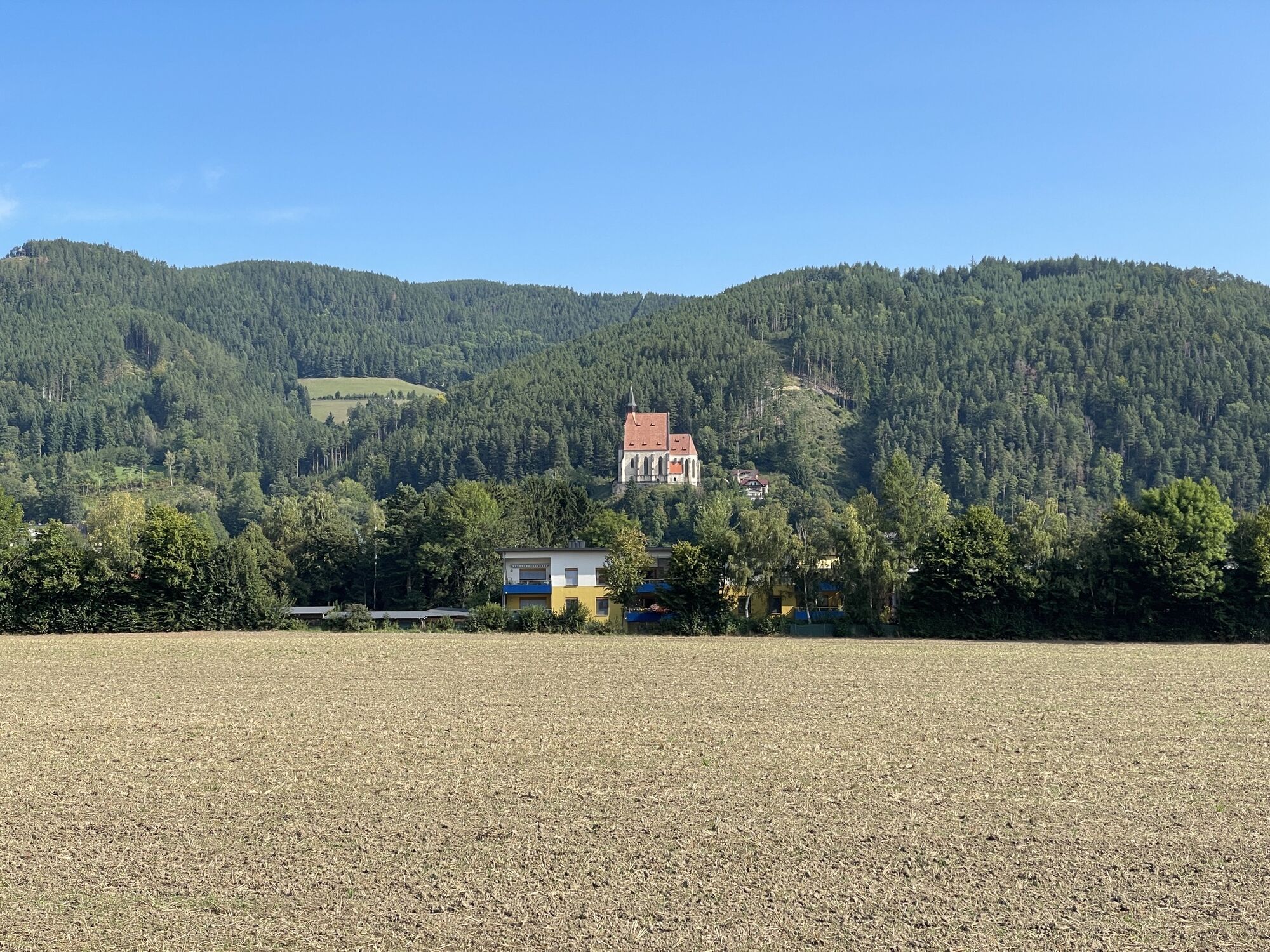
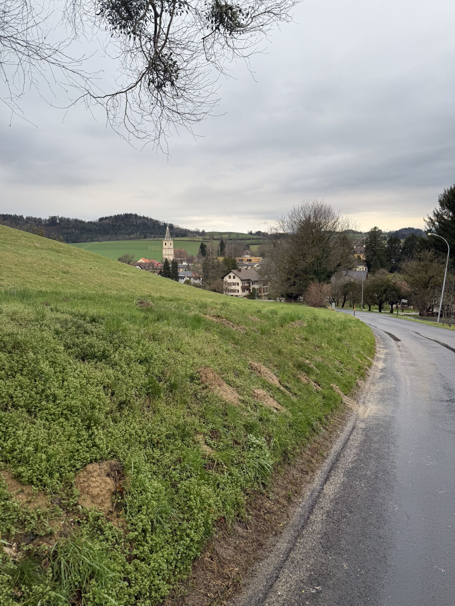
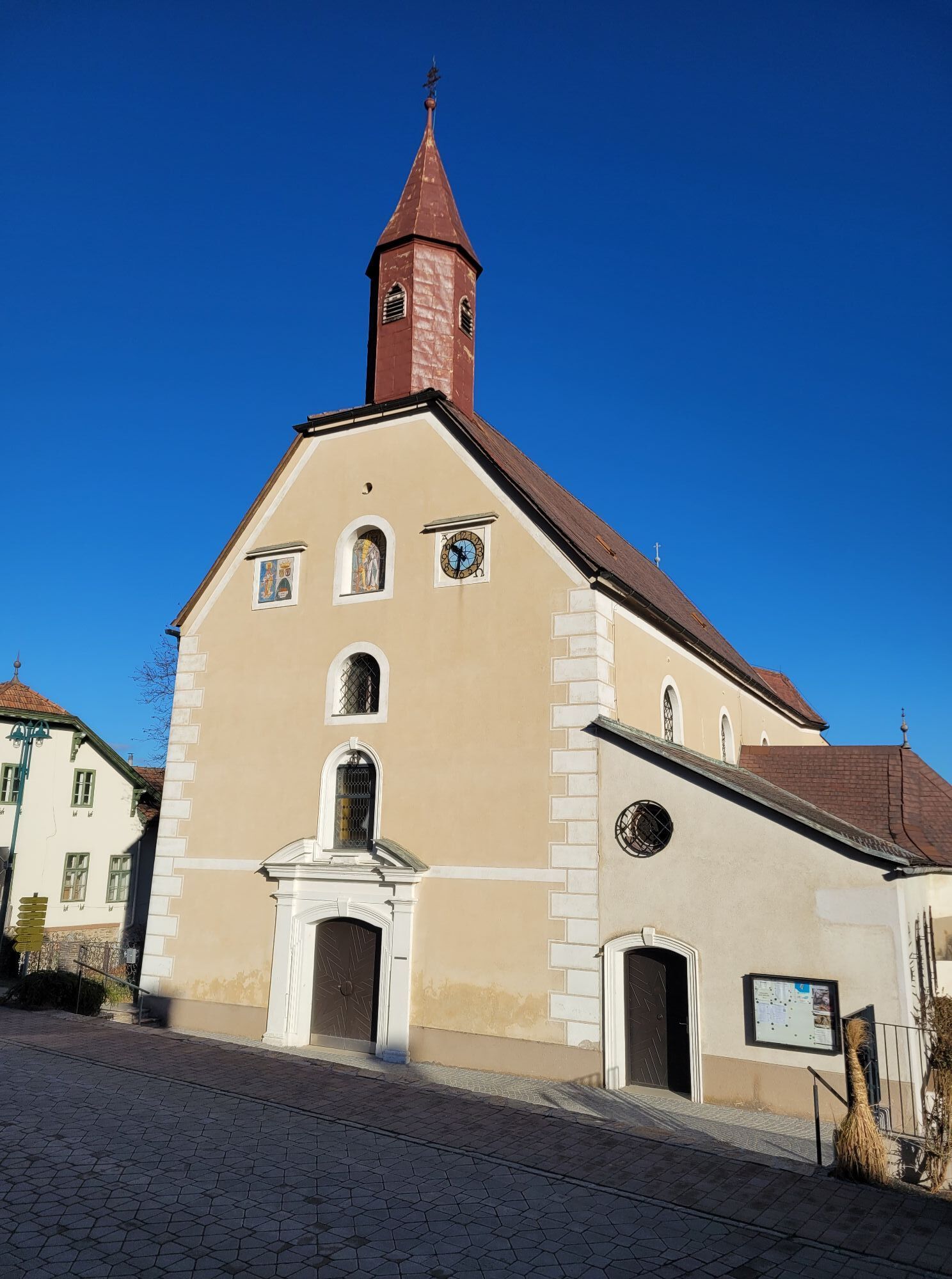
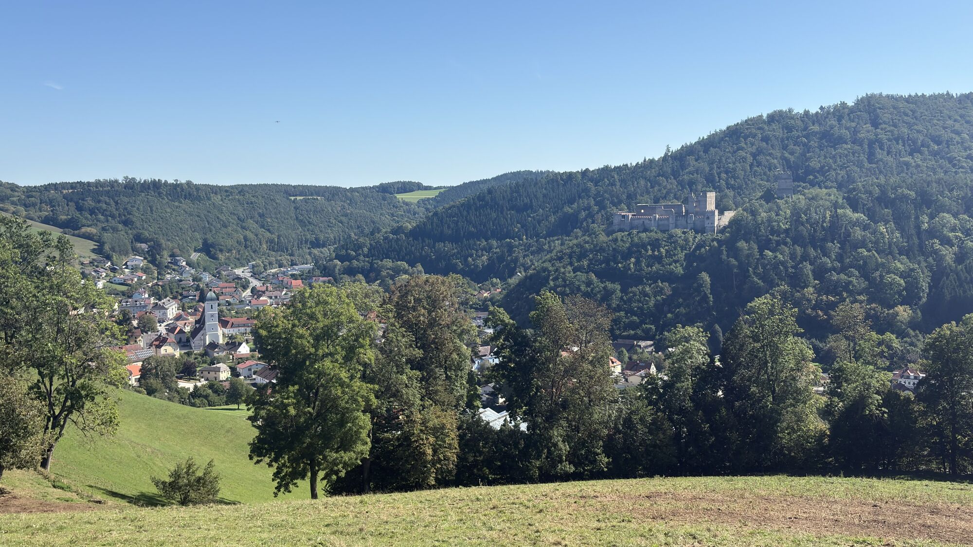
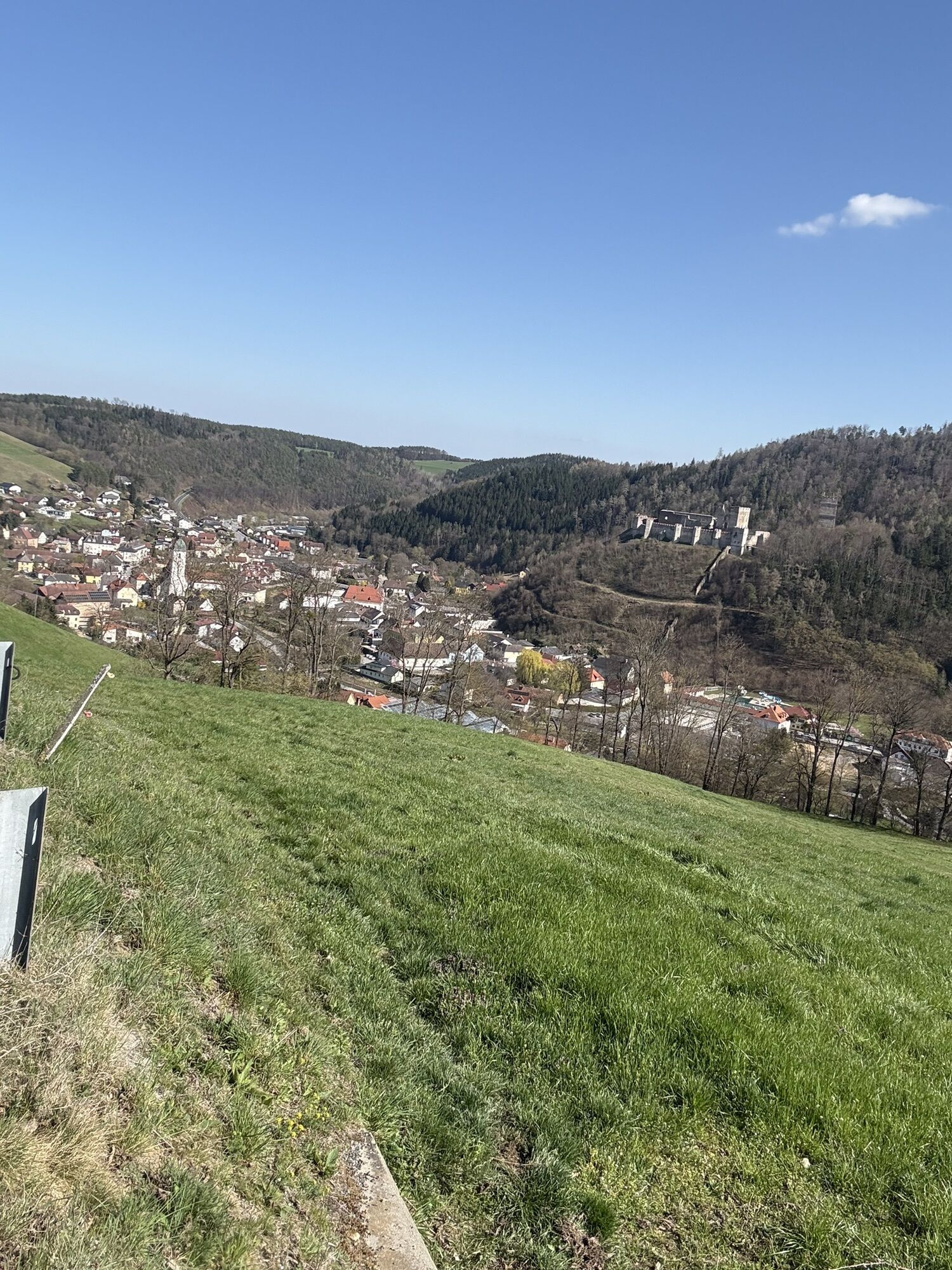
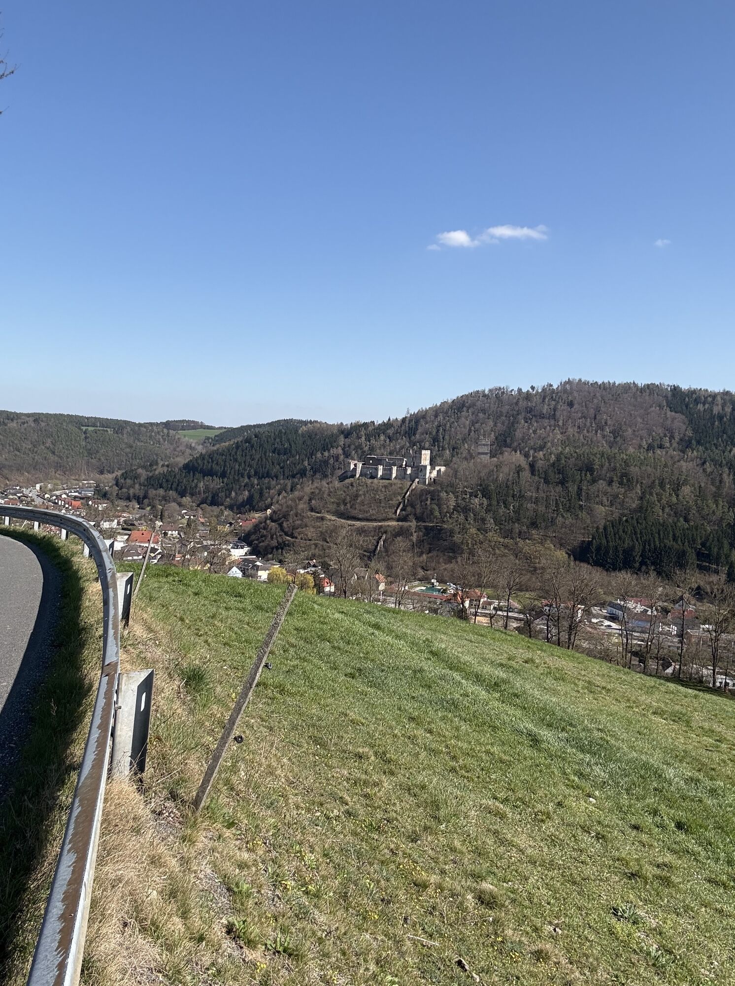
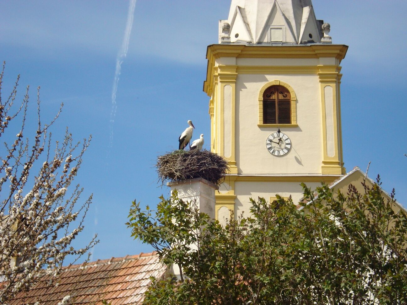
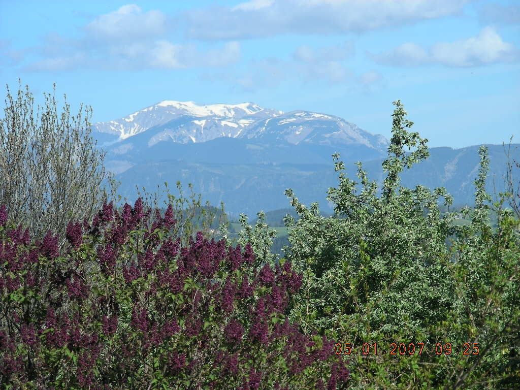
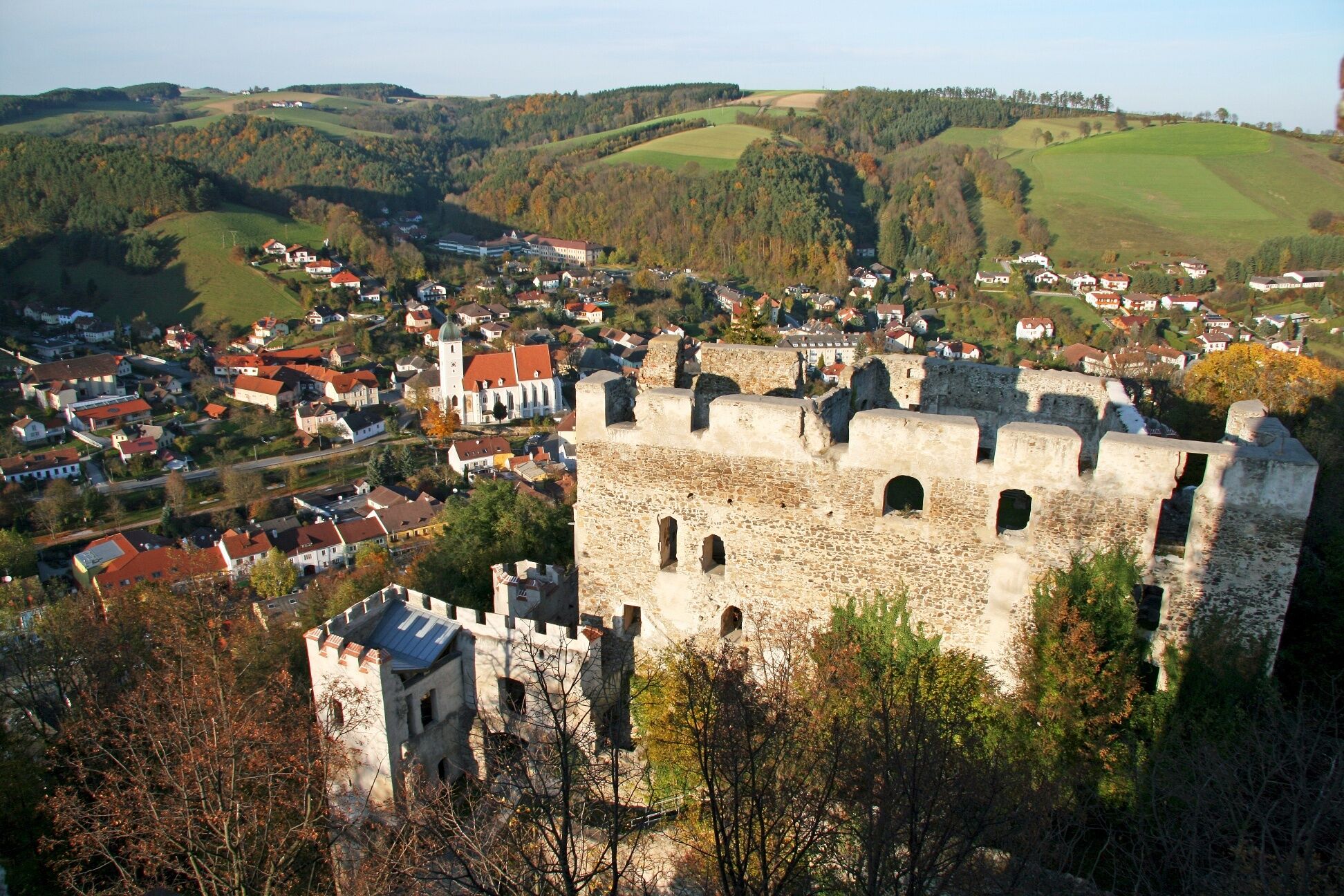
From the church, past the "Im Dorner" group of houses, you reach the road to Bad Schönau, which you follow to Krumbach. Here you go to the church and continue on the marked path. You soon cross the highway and reach the next village. The marked trail leads away from the roads through the beautiful landscape of Wechselland. The Kirchberg parish church greets pilgrims from afar. A special tip in Kirchberg is the Calvary. It can be reached on foot from the village in around half an hour. It was built after the end of the plague in 1713/14. In chapels, realistic, almost life-size depictions show the mysteries of the Sorrowful Rosary.
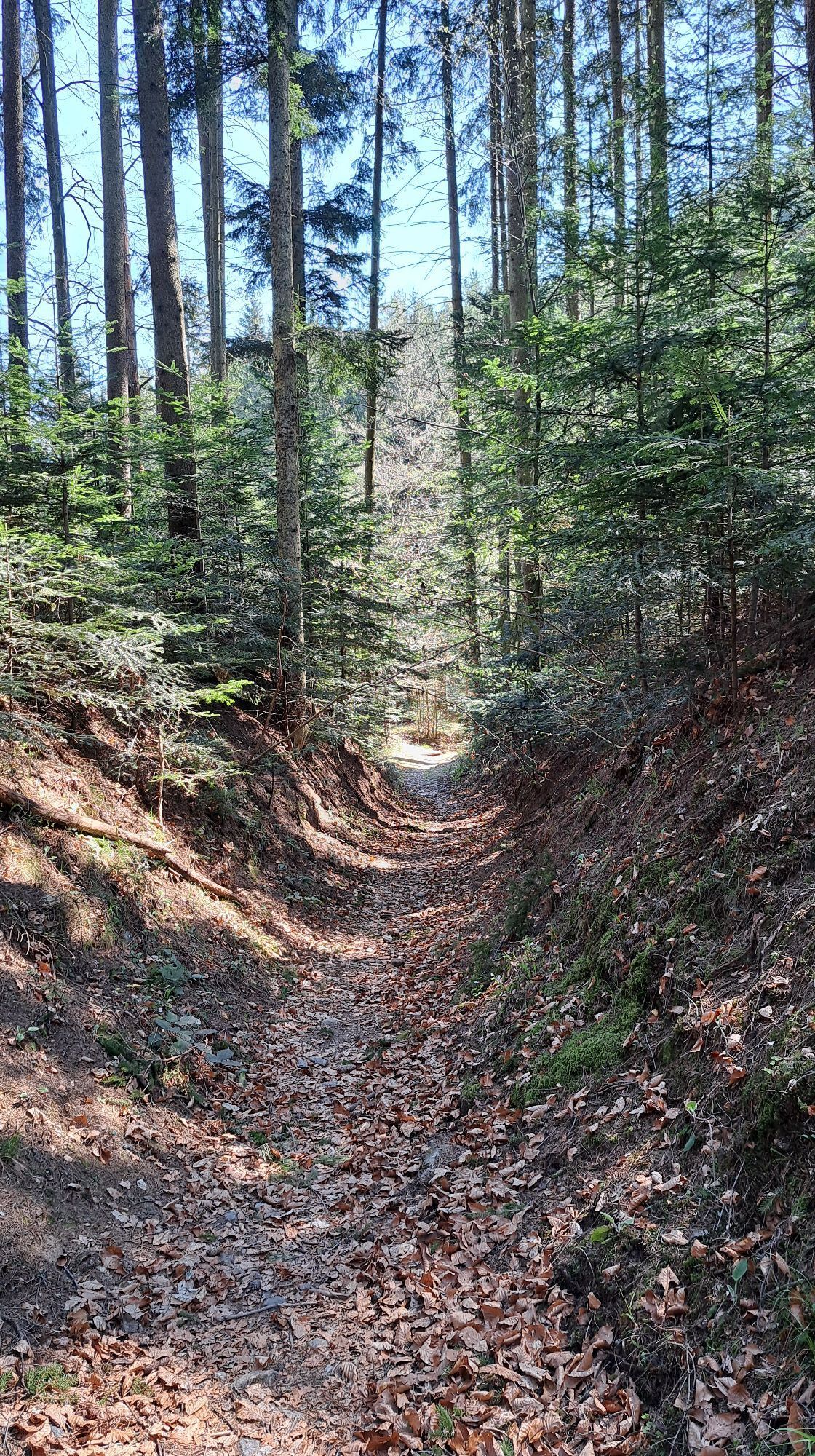
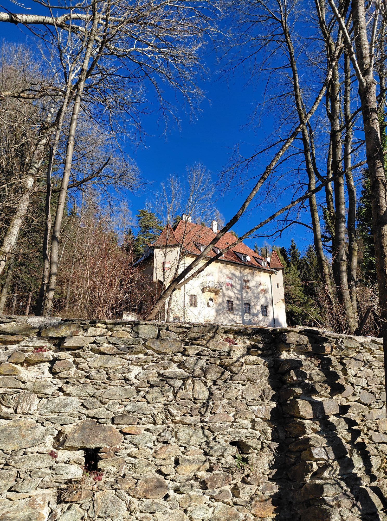
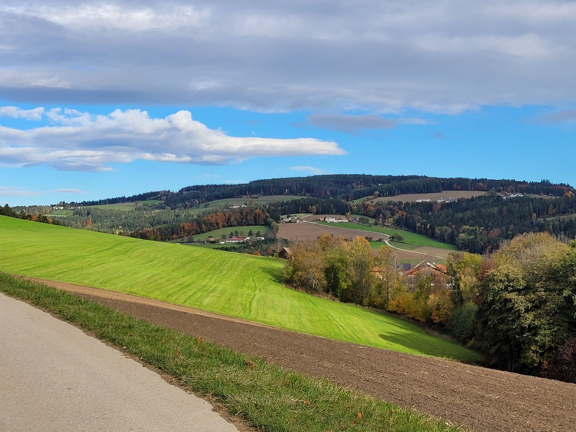
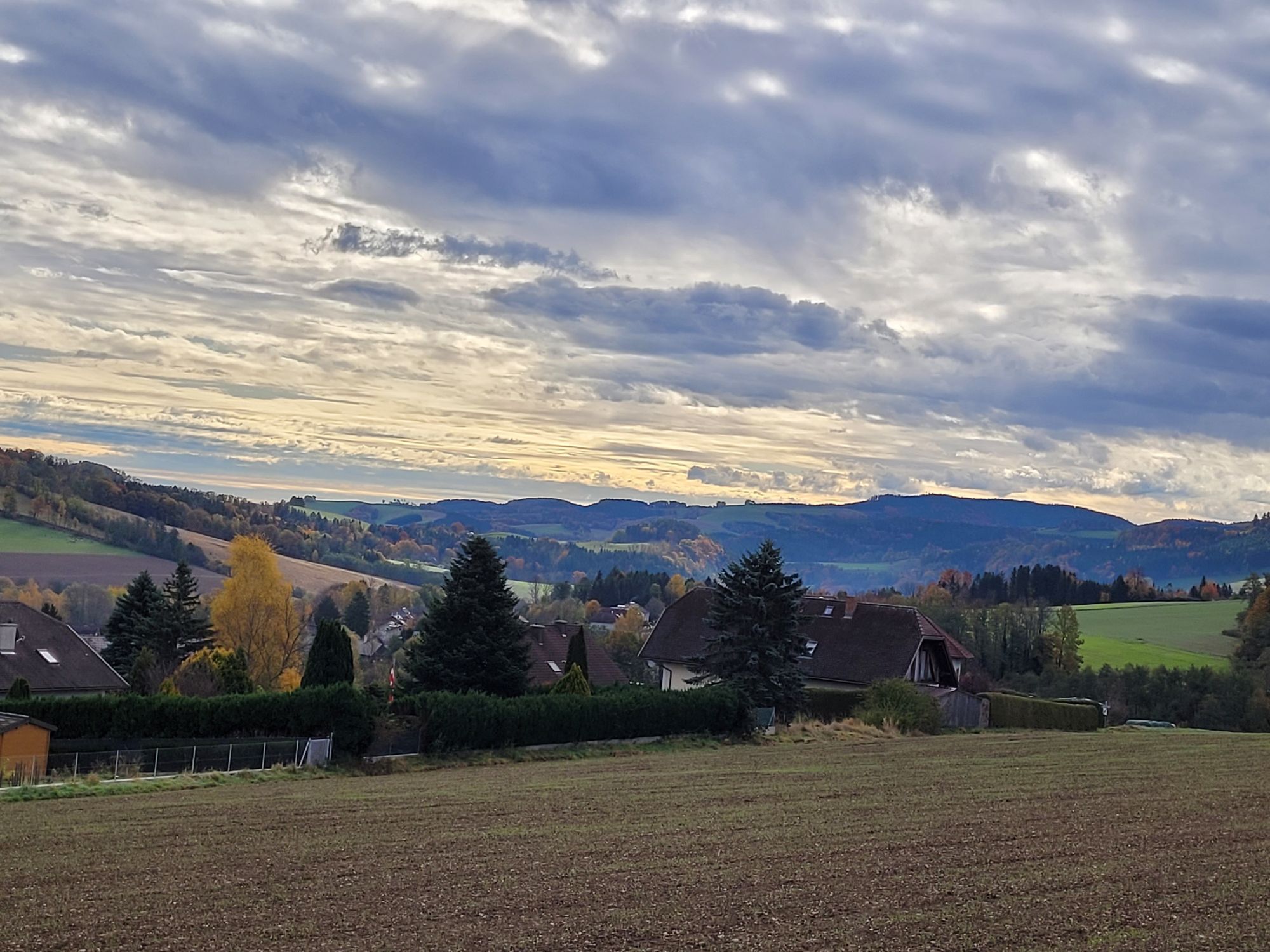
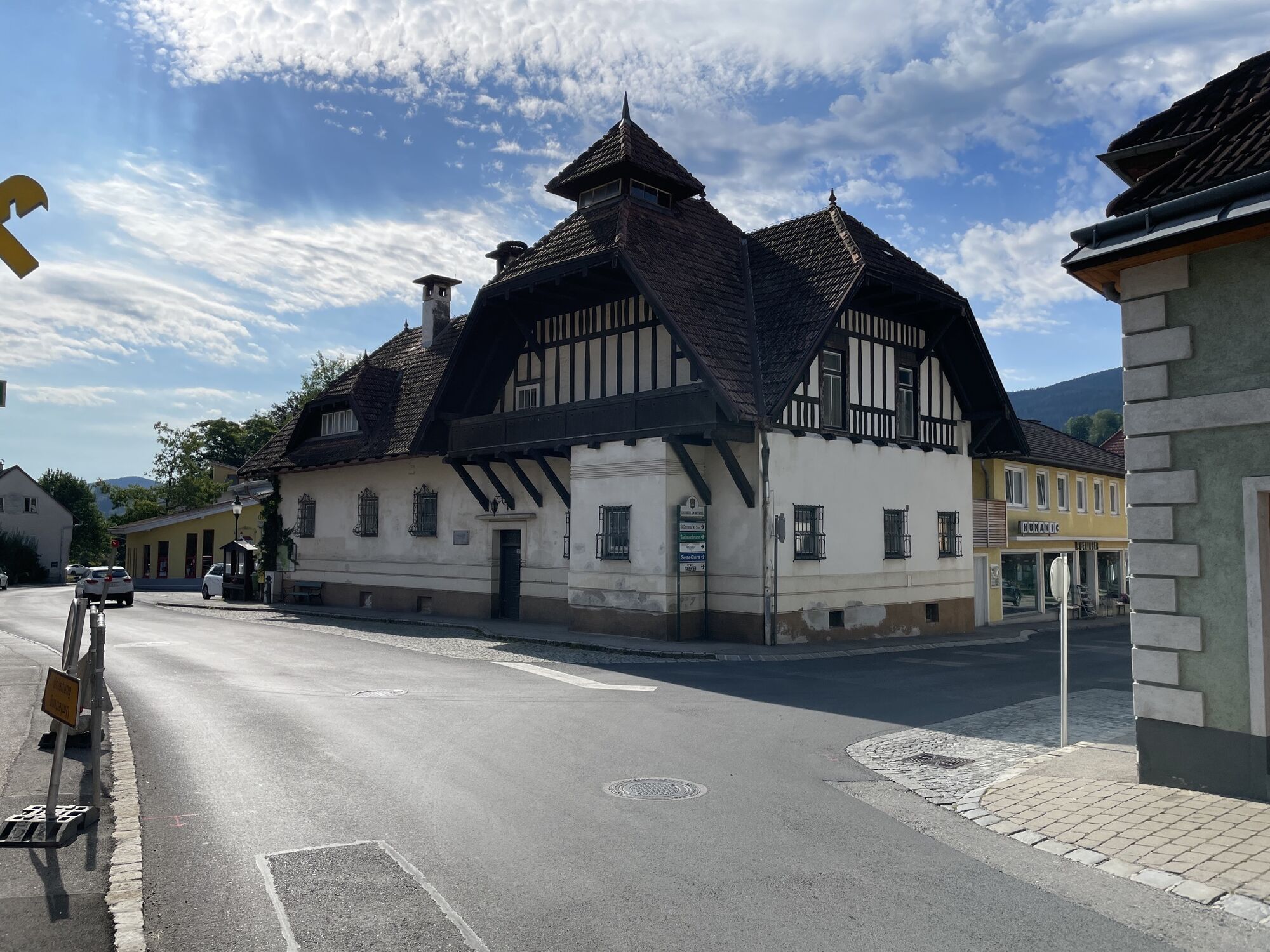
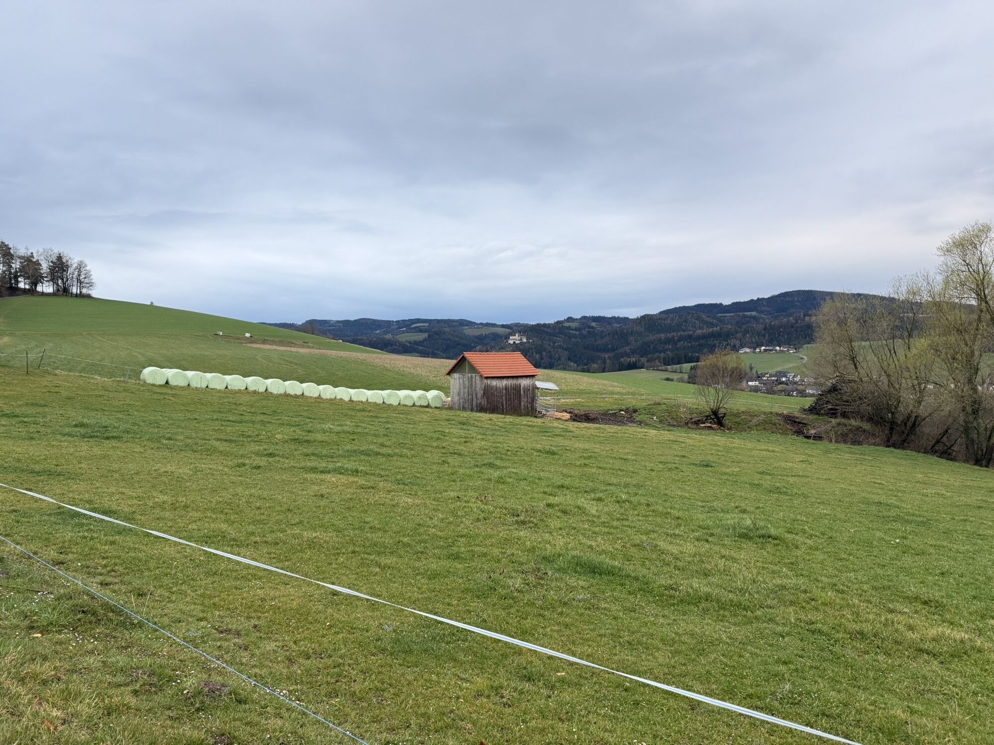
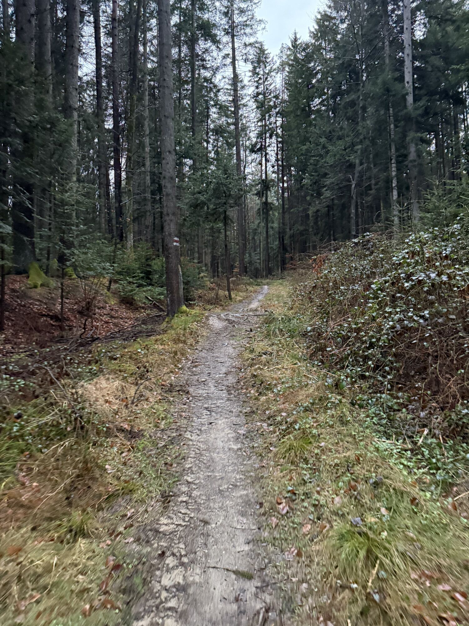
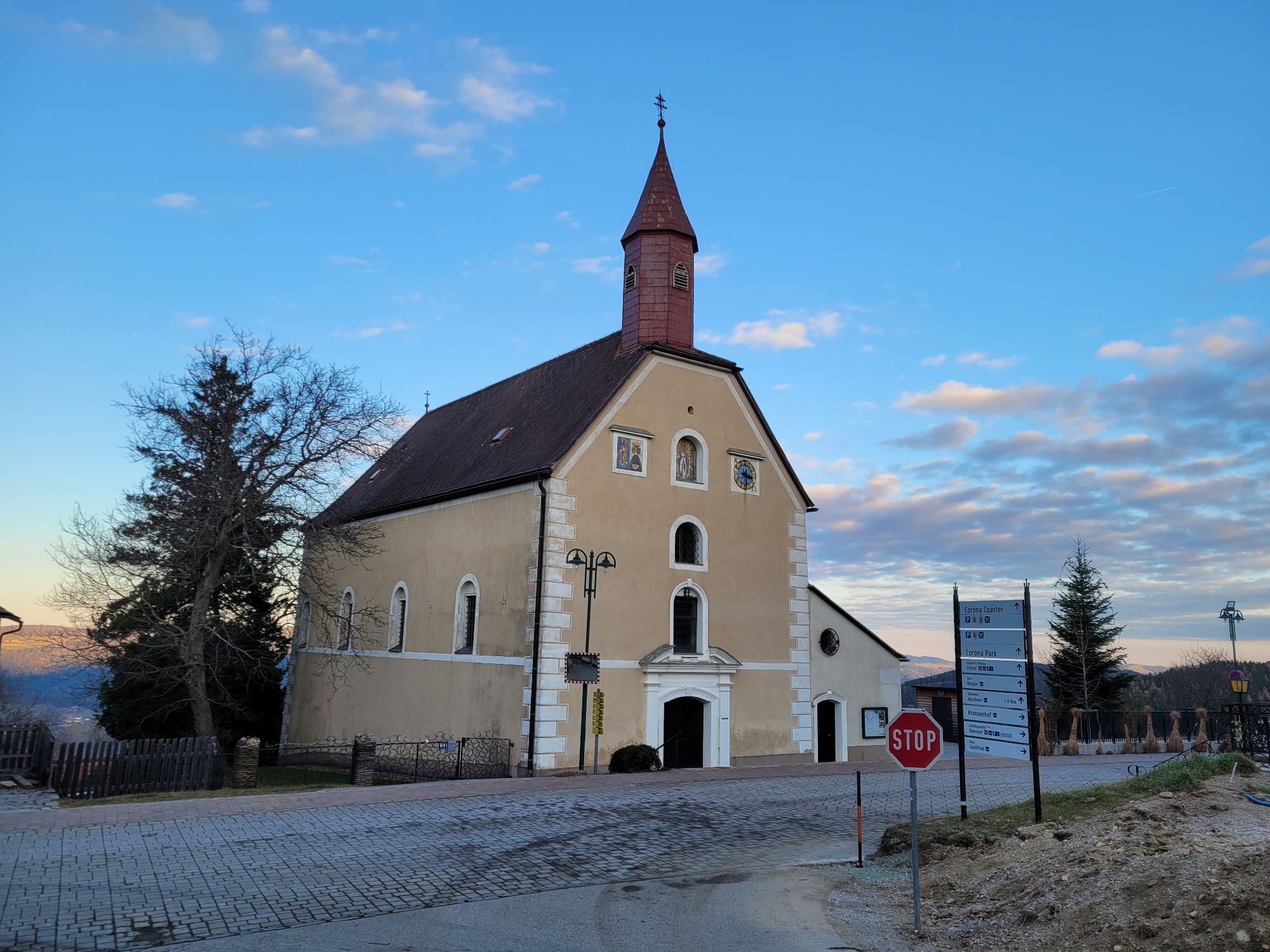
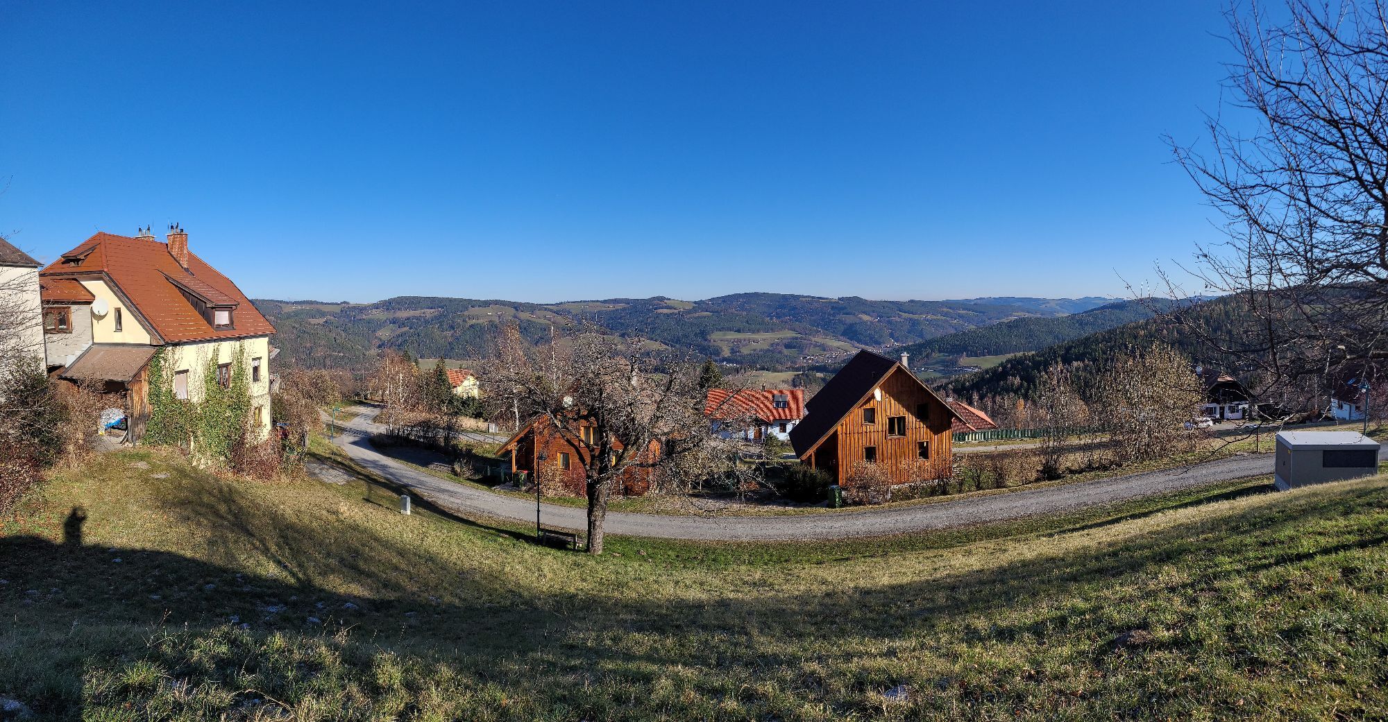
We start in the town center of Kirchschlag in the Bucklige Welt. Via Äuserer Markt we turn left onto Berggasse and follow it to Aigen. We follow this street and after 4 km turn left onto a hiking trail. We follow the markings to Untertiefenbach Street. We turn right onto the street and follow it to Strobl, where we again turn left onto a hiking trail. This leads us on a path which we follow to the Rosenkranz chapel. Here we turn right onto the Lindenhof farm road. We pass through the village of Krumbach and continue past the Krumbacherhof on Königsegg Street. After 4.7 km we turn left at Faschingbauer onto Kampichl. If we follow the course of the country road, we reach Kulma, where we turn left. Via Königsberg and Kulmastraße we arrive at Aspang-Markt. We pass through the district of Hoffeld and keep left to reach Ausseraigen via a hiking trail. Always following the road course we continue, go straight onto a hiking trail and then follow the road again to St. Corona. We pass through the village and turn right before the pilgrimage church. Following the road we reach a path that leads us via Wieden to Tratten. Following the road course we reach Kirchberg am Wechsel.
Always take suitable maps with you. Wear sturdy shoes adapted to the route, bring sun and rain protection as well as water and a snack. Take your mobile phone with you and save the mountain rescue emergency number: 140
Your hikes in the Vienna Alps should be a thoroughly beautiful and safe experience. Please therefore observe the following:
Preparation
Make sure when choosing the route that it corresponds to your experience and fitness. Inform yourself in advance about the weather report. The weather in the mountains can change suddenly. Always start out appropriately equipped (e.g., rain protection).
Check whether the huts and snack stations you want to visit along the way are open. Inform someone about your chosen route and your planned return before setting off.
From Vienna drive via the A2 South Motorway. At exit 76-Krumbach, drive towards Krumbach/Hungary. Continue on Krumbach junction. Continue on Kirchschlager Str./B55 to Kirchschlag in the Bucklige Welt.
From Graz drive via the A2 South Motorway and take exit 81-Aspang. Turn right onto L137. Continue on Zöbern/L137. Continue on Kampichl. Continue on main road, which curves left and becomes Austraße. Continue on L137 and Kampichl. Turn right onto Kirchschlager Str./B55. Follow B55 to Kirchschlag in the Bucklige Welt.
From Wiener Neustadt station a regional train (direction Aspang-Markt) runs regularly to Edlitz-Grimmenstein station. Then continue with bus line 1772 to Kirchschlag.
More information at www.oebb.at and www.vor.at
Parking spaces available around the town center of Kirchschlag.
Vienna Alps in Lower Austria, www.wieneralpen.at, +43 / 2622 / 78960
Combine your hike with an overnight stay at the stage destination Kirchberg am Wechsel at the Gasthof Grüner Baum!
Popularne wycieczki w okolicy
-
3,8
St. Corona - Kampstein
średniWędrówka 10,7 km -
4,6
Bucklige Welt: Auf dem Pittentaler Klettersteig zum Türkensturz
średniVia ferrata 1,96 km -
4,6
Mariensee - Wildwasserweg - Marienseer Schwaig
światłoWędrówka 8 km -
4,7
Hochwechsel - Tour
Wędrówka 18,5 km -
4,1
"Weg der Blicke"
światłoWędrówka 5,86 km -
4,4
Bad Schönau - Hutwisch
światłoWędrówka 9,99 km -
4,3
Türkensturz Rundwanderung
średniWędrówka 2,56 km -
4,7
Hochwechsel und Arabichl ab/bis Mariensee
średniWędrówka 17,5 km -
4,0
Bucklige Welt: Burg Grimmenstein und Kulmriegel
światłoWędrówka 10,5 km -
4,7
Aspang Hochwechsel Panorama-Runde Wexl Trails mit "The WU"
średniMountainbike 57,5 km
Wędrówki i tropienie


Nie przegap ofert i inspiracji na następne wakacje
Twój adres e-mail została dodana do listy mailingowej.