







Bernhardiweg - Stage 3: Weitra - Großotten

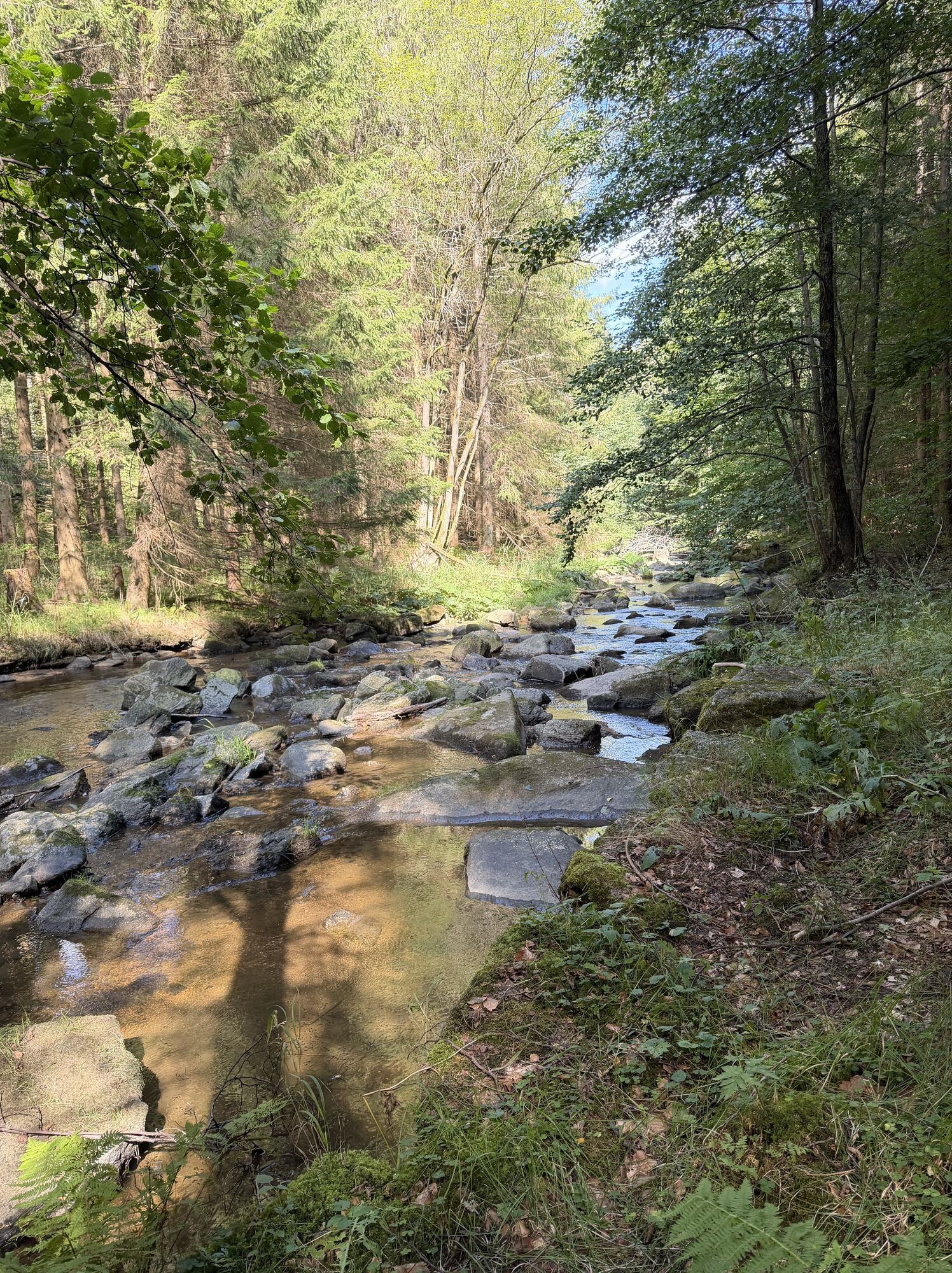
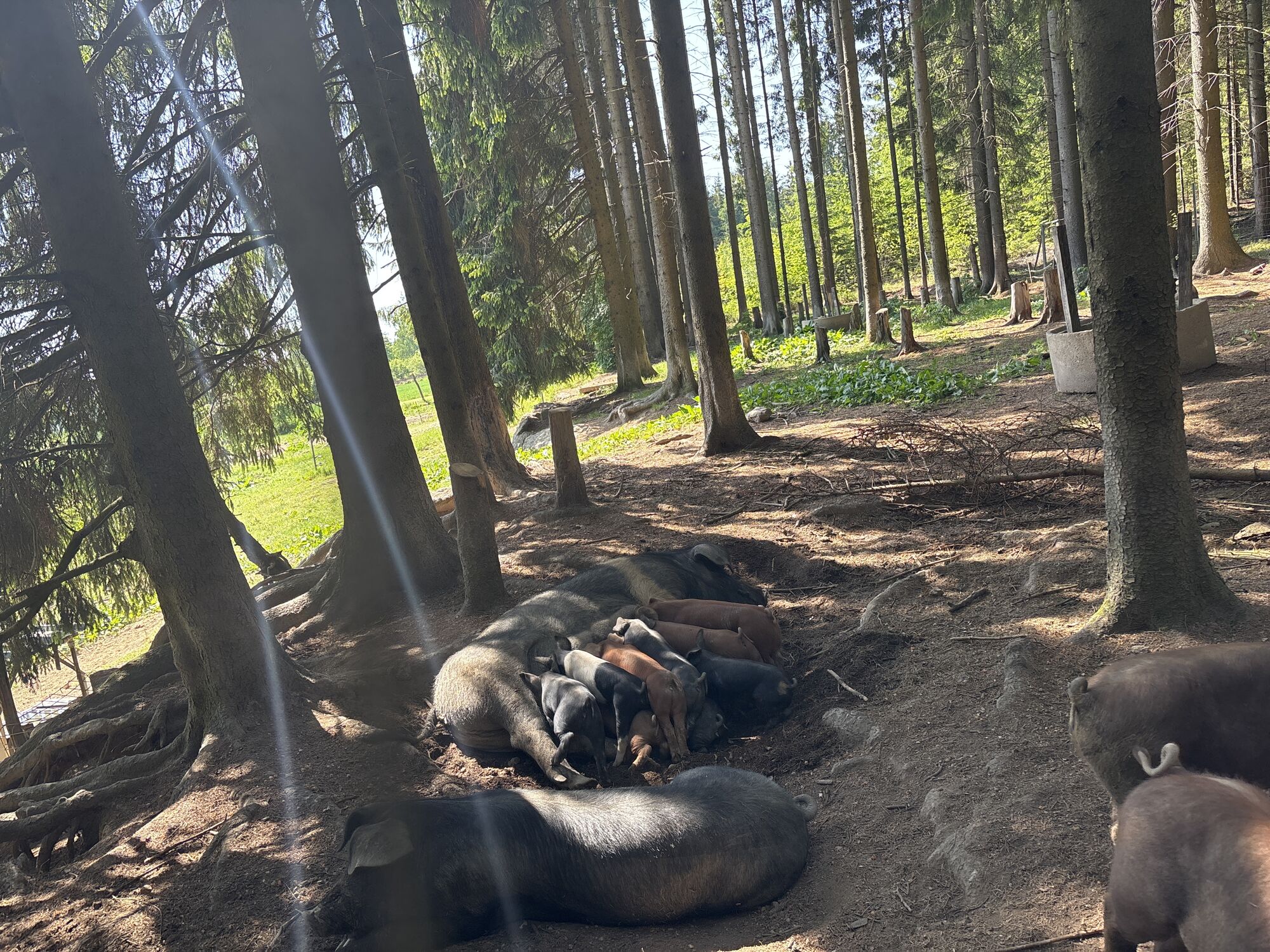
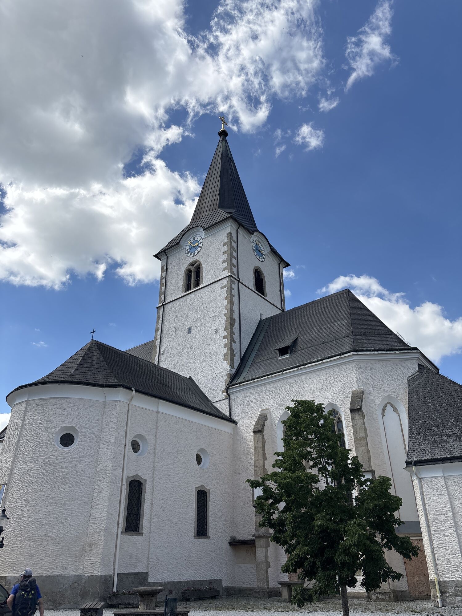
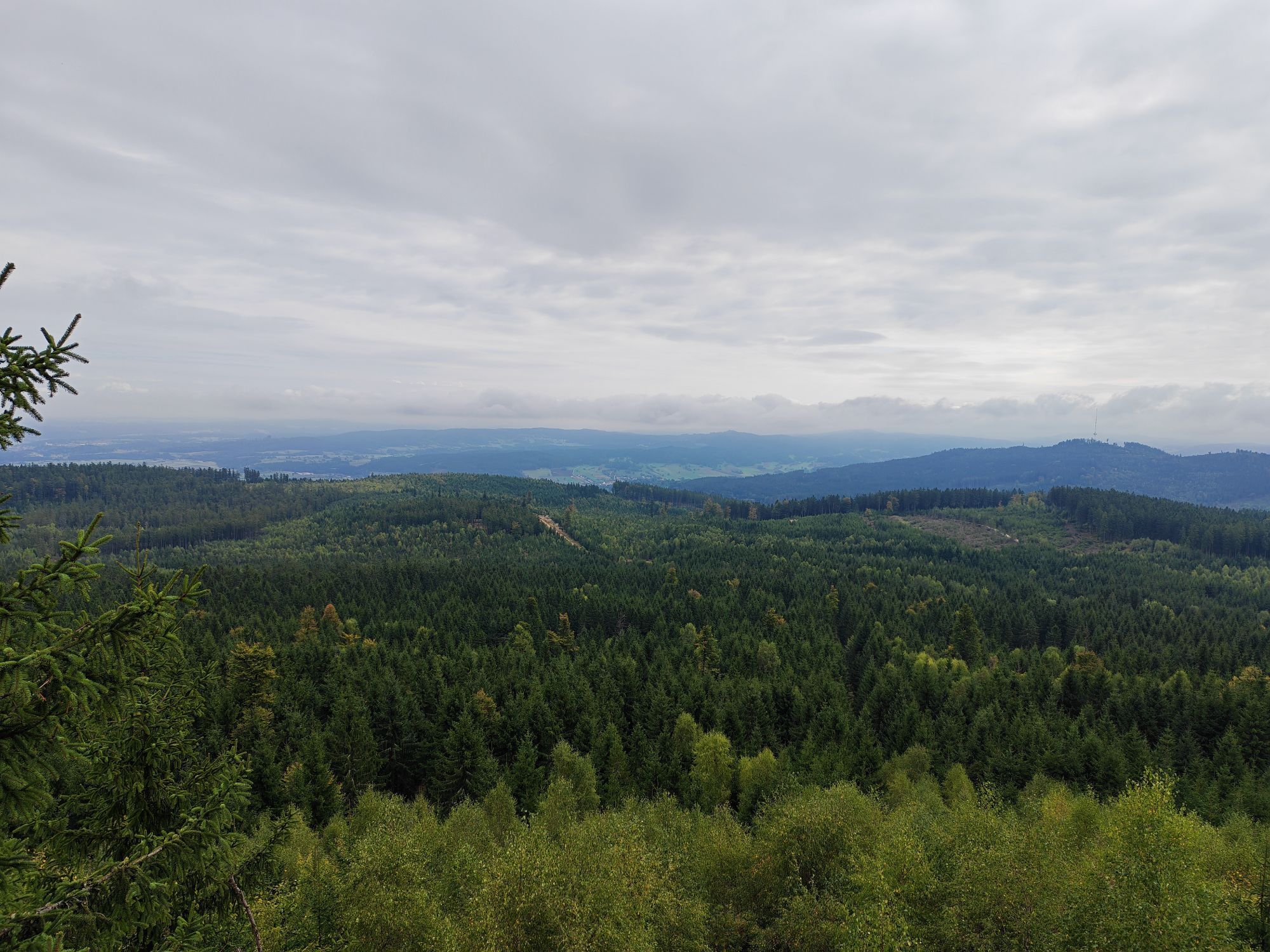
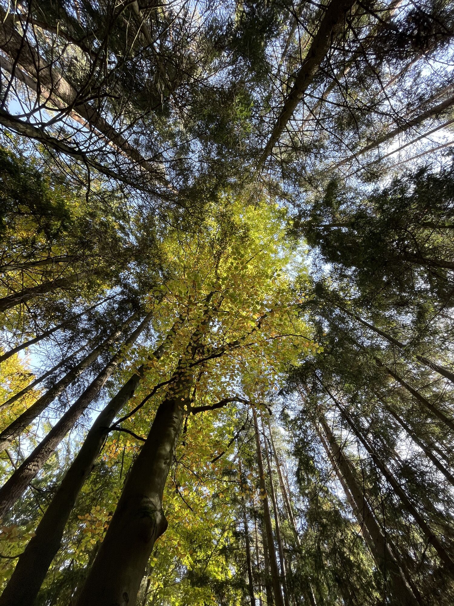
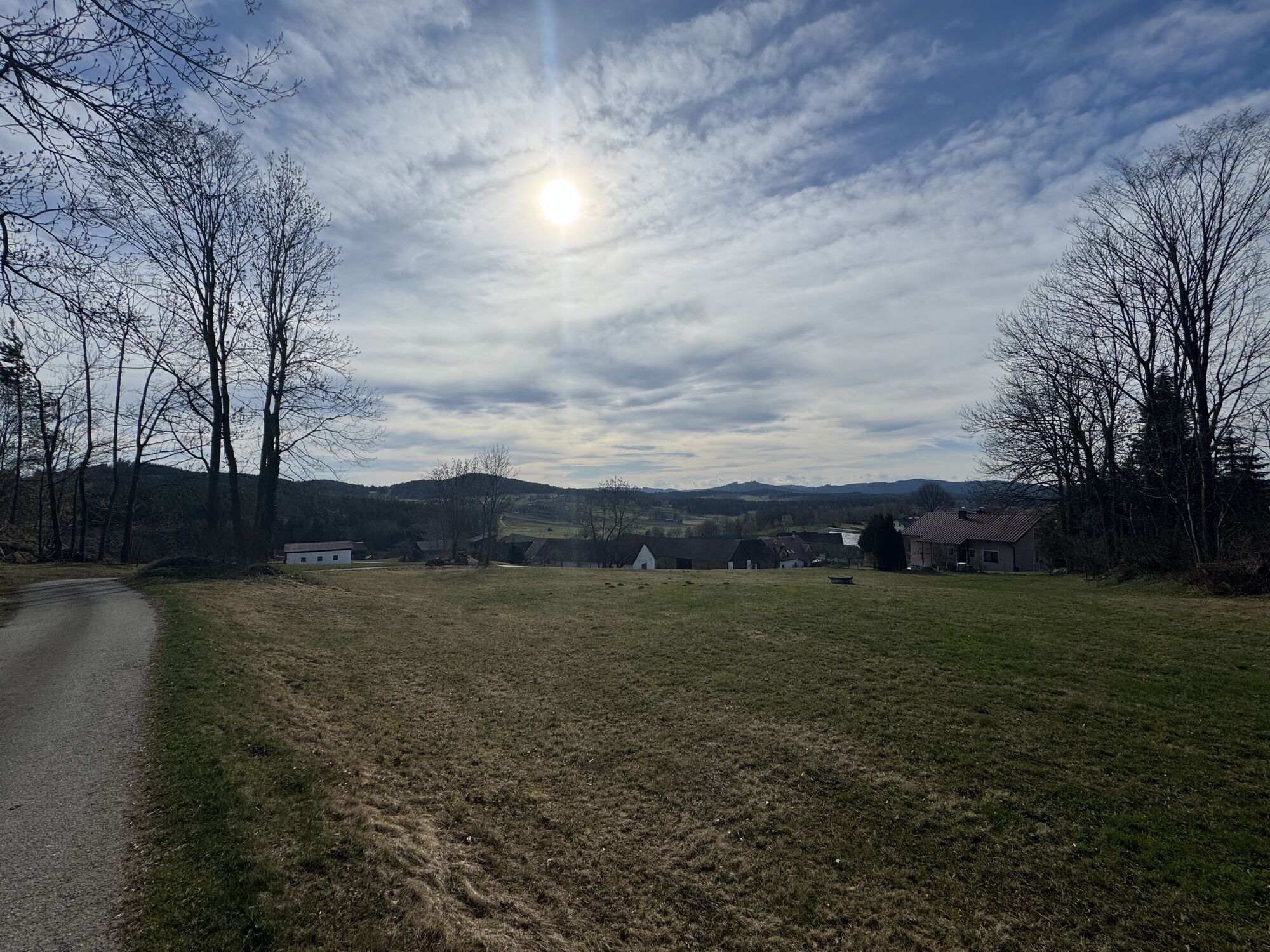
The Bernhardiweg is a pilgrimage route in the Waldviertel, Lower Austria, named after St. Bernhard of Clairvaux. It connects several historical and spiritual places and invites you to discover the rich...
The Bernhardiweg is a pilgrimage route in the Waldviertel, Lower Austria, named after St. Bernhard of Clairvaux. It connects several historical and spiritual places and invites you to discover the rich history and scenic beauty of the region.

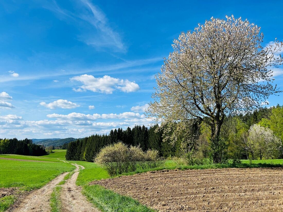

Weitra - St. Wolfgang
You can find detailed directions from Weitra to St. Wolfgang here: https://www.zwalk.at/bernhardiweg-weitra-st-wolfgang/
St. Wolfgang - Spital
Detailed directions from St. Wolfgang to Spital can be found at: https://www.zwalk.at/bernhardiweg-st-wolfgang-spital/
Spital - Johannesberg
You can find detailed directions from Spital to Johannesberg at: https://www.zwalk.at/bernhardiweg-spital-johannesberg/
Johannesberg - Großschönau
You can find detailed directions from Johannesberg to Großschönau at: https://www.zwalk.at/bernhardiweg-johannesberg-grossschoenau/
Großschönau – Wurmbrand
For detailed directions from Großschönau to Wurmbrand, visit: https://www.zwalk.at/bernhardiweg-grossschoenau-wurmbrand/
Sturdy footwear, functional clothing, sun and rain protection, maps, if necessary telescopic poles, first aid kit (blister plasters), sufficient provisions (snacks, muesli bars, fruit, water).
Make sure when choosing your route that it matches your fitness level. Check whether the restaurants you want to visit along the way are open. Pack your charged mobile phone and map material in your backpack.
Find the best and fastest way to the starting point of the route with the route planner: https://www.google.at/maps
All information about all bus and train lines to the Waldviertel can be found at www.vor.at or at www.oebb.at.
3910 Zwettl, Sparkassenplatz 1/2/2
(T) +43 2822 54109
(E) info@waldviertel.at
(I) www.waldviertel.at/pilgern-bernhardiweg



Popularne wycieczki w okolicy
- 4,5
Mandelstein von Moorbad aus
światłoWędrówka 9,47 km - 4,8
Nebelsteinweg
Wędrówka 6,98 km - 3,6
Zwei-Tausender-Tour Tischberg-Eichelberg
światłoWędrówka 12,4 km - 4,9
Mandlstein Heinrichs bei Weitra Erlebnisweg
światłoWędrówka 13,1 km - 4,4
Nebelstein vom Moorheilbad
średniWędrówka 12,9 km - 4,8
4-Berge Marsch Mandelstein - Nebelstein - Wachberg - Johannesberg
Wędrówka 30,8 km - 4,0
Nordwaldstrecke
Mountainbike 25,1 km - 5,0
Liebenau Nr. 31 Kampursprung
światłoWędrówka 10,3 km - 4,0
Moorbad Harbach-Runde über Rotes Kreuz
światłoWędrówka 8,55 km - 4,4
Ohyo und Hubertus
średniWędrówka 13,2 km
Wędrówki i tropienie


Nie przegap ofert i inspiracji na następne wakacje
Twój adres e-mail została dodana do listy mailingowej.





