


Mary’s Way Stage Schwarzau im Gebirge - Mariazell
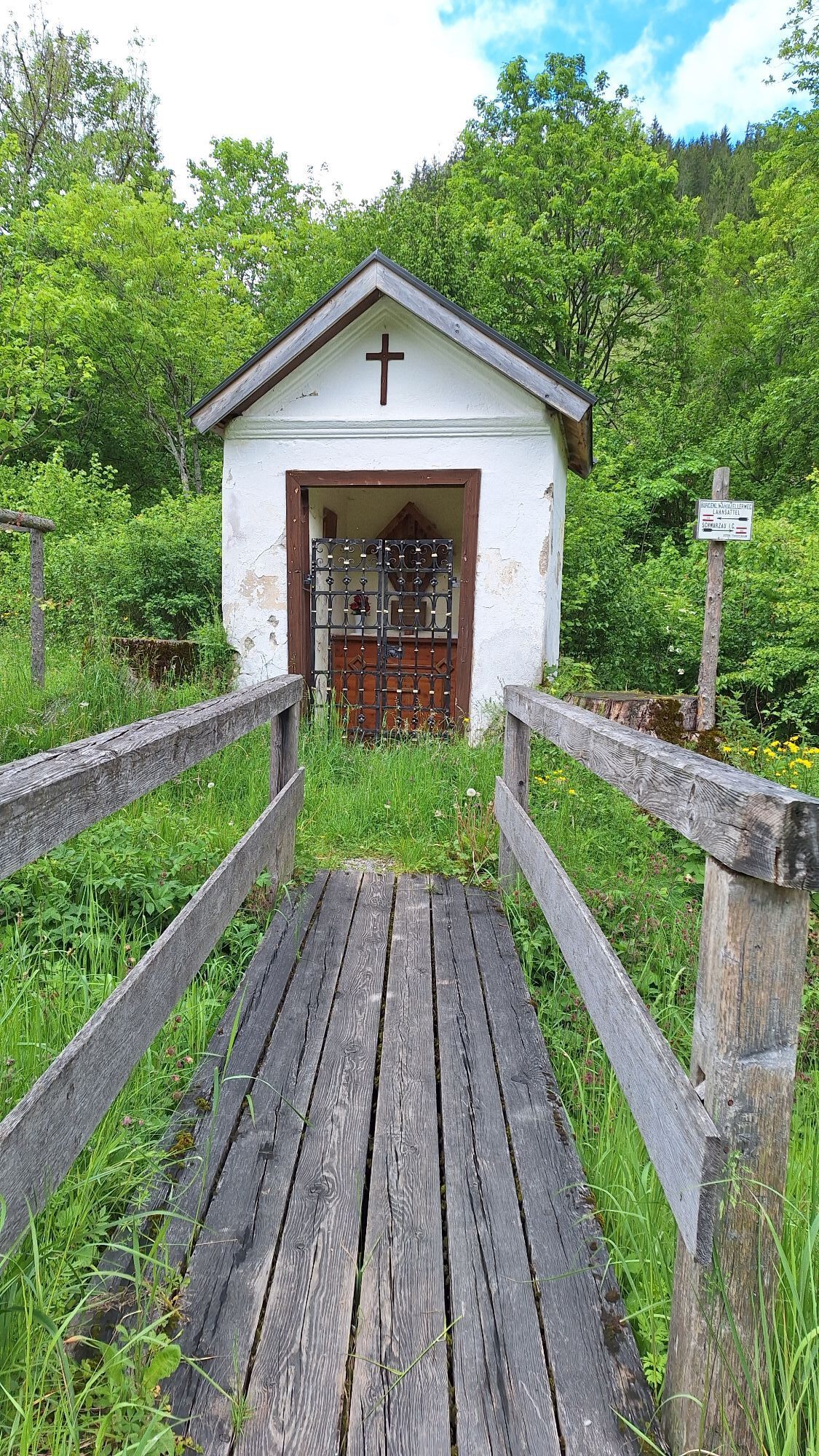
From Schwarzau, the trail leads towards Preintal. From here it goes over the Gscheidl into Styria. This section runs parallel to the Mariazellerweg in Burgenland and on the ascent to the Gscheidl you pass...
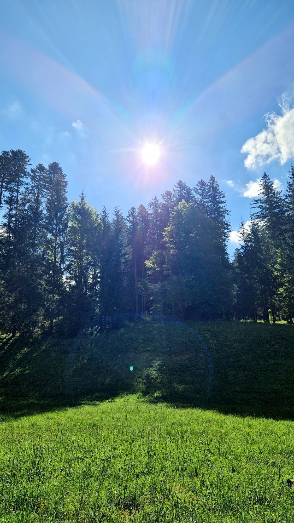
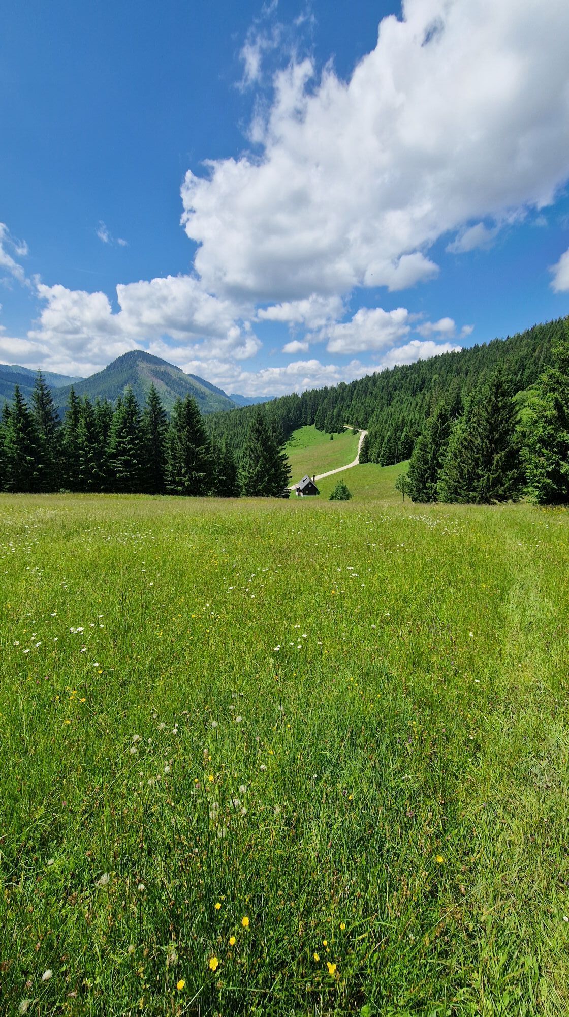
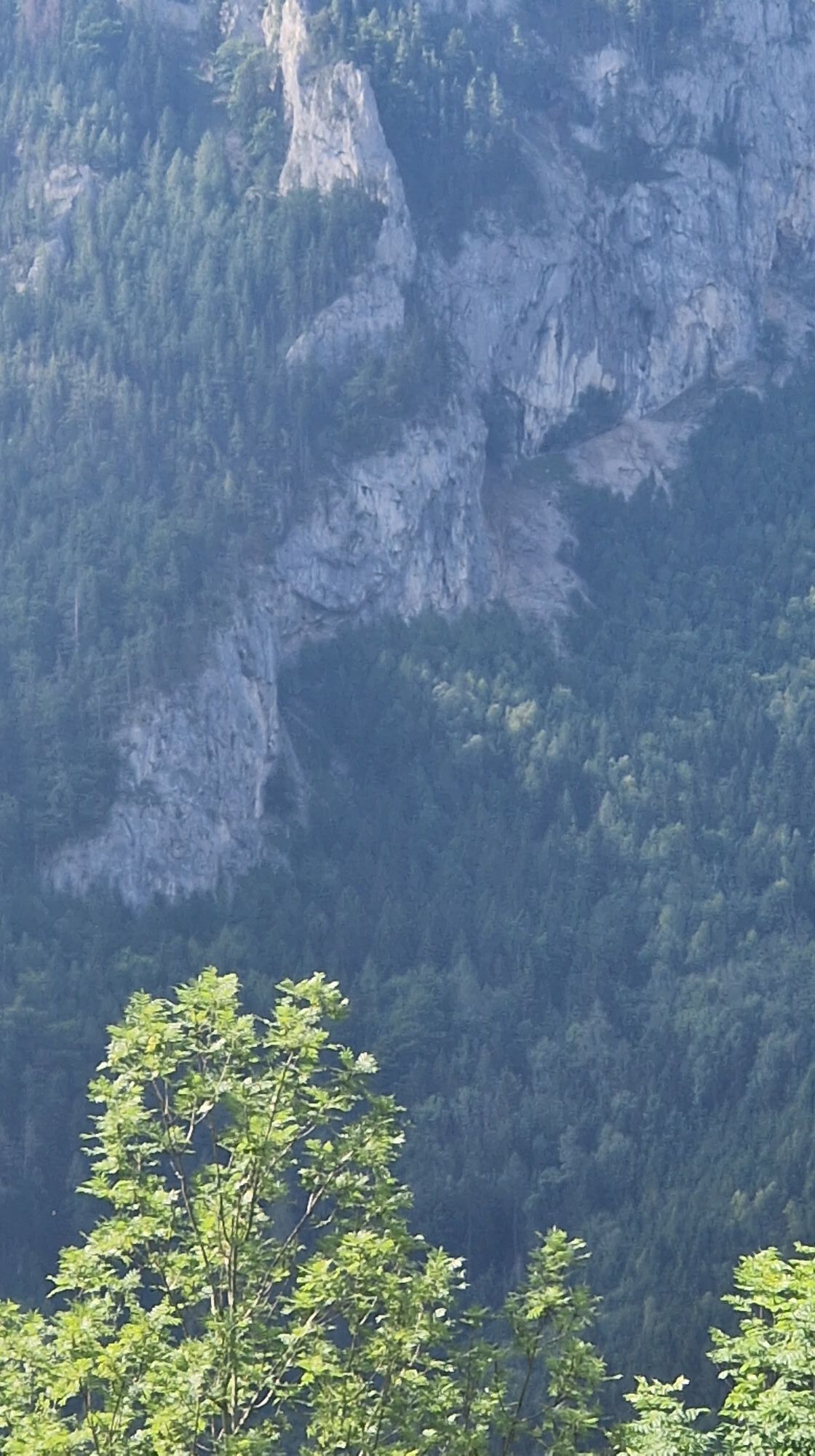
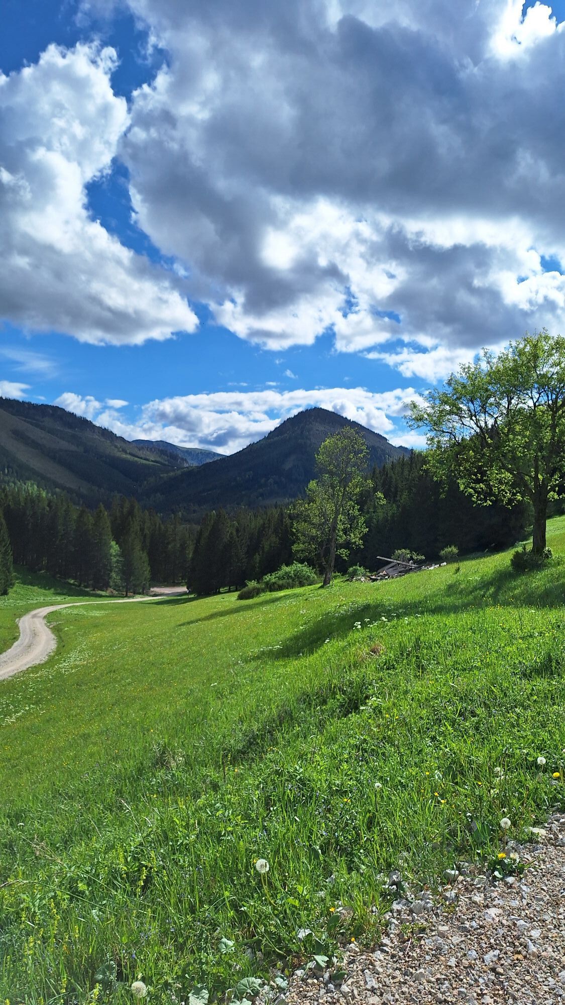
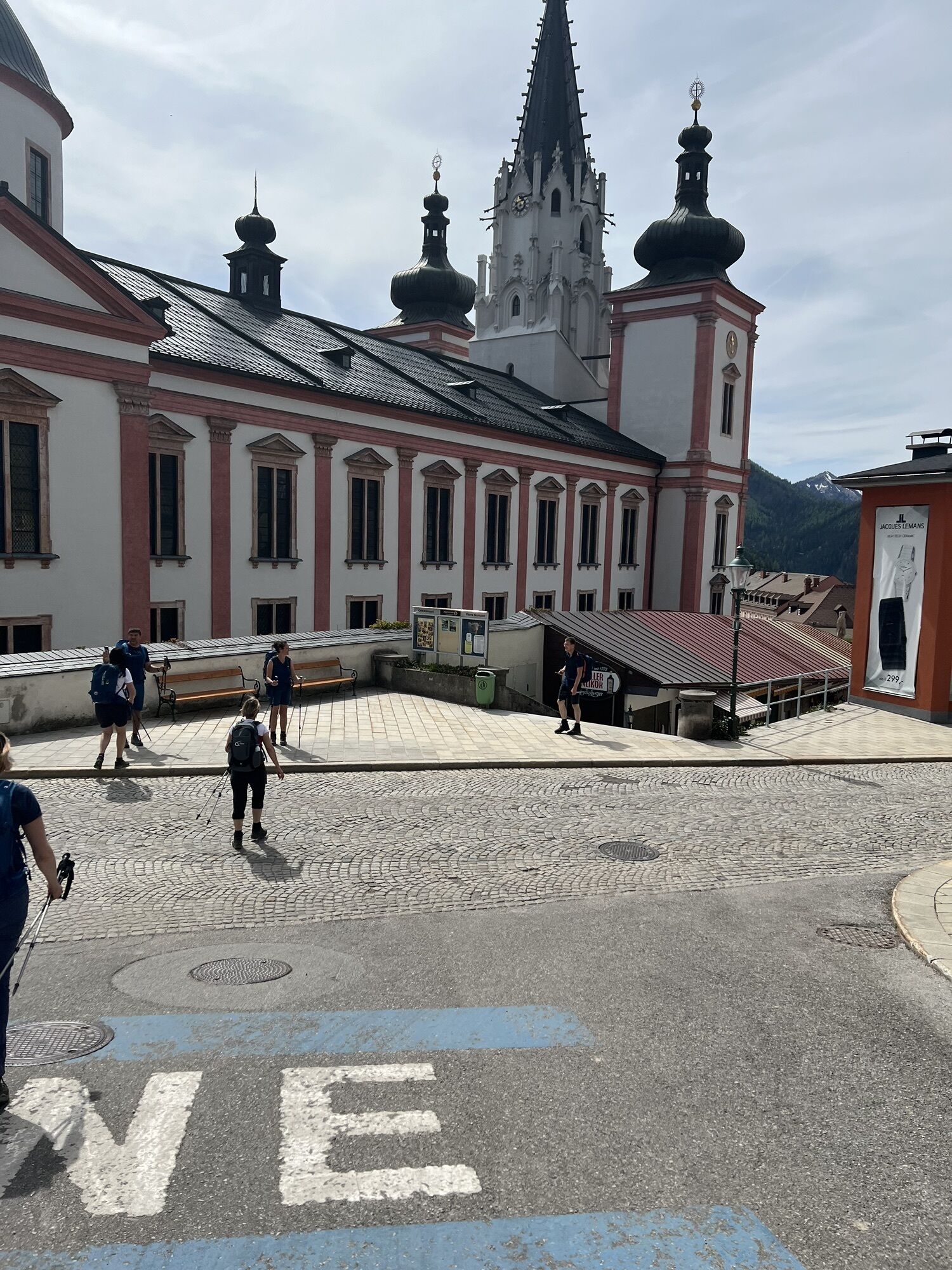
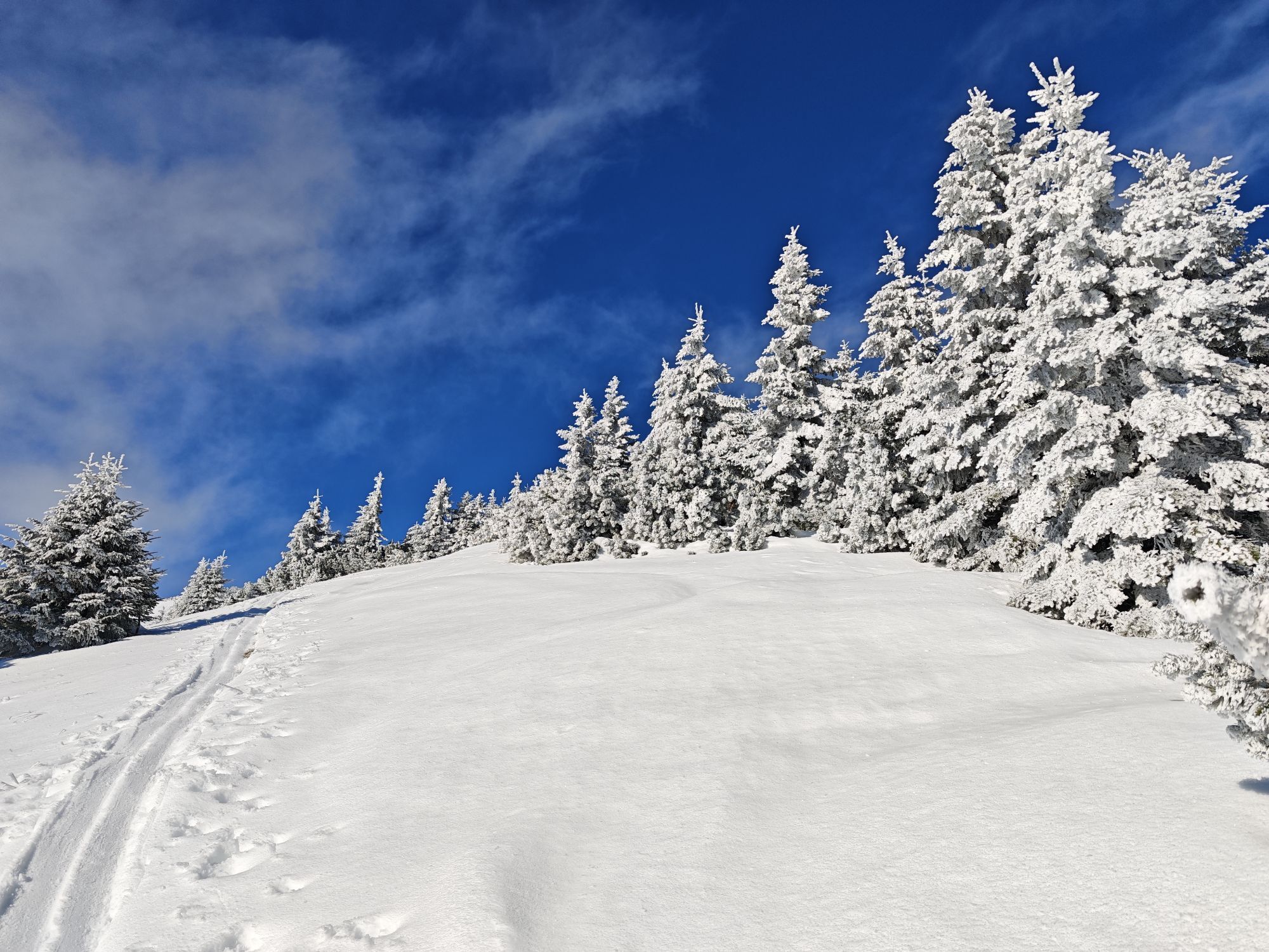
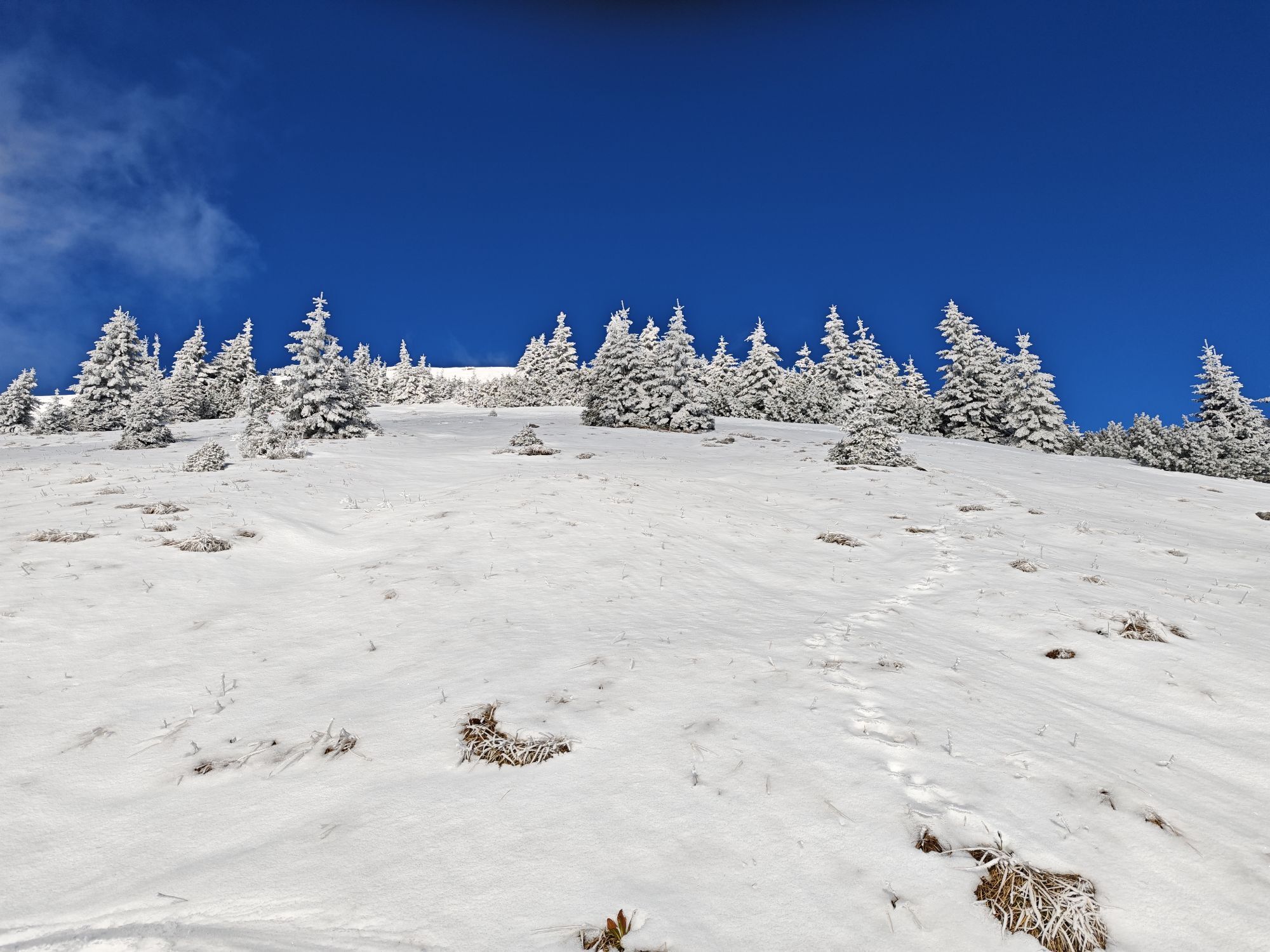
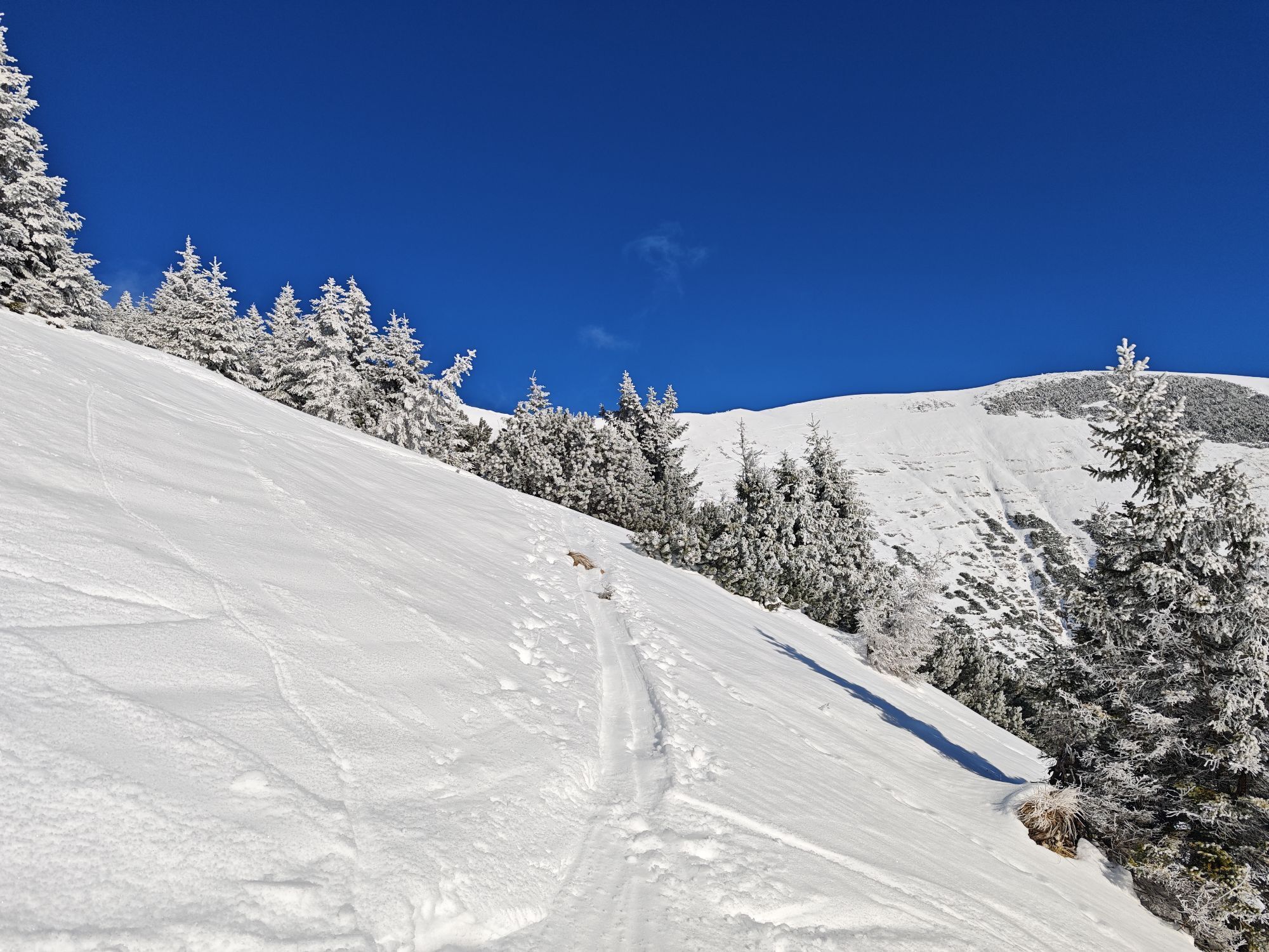
From Schwarzau, the trail leads towards Preintal. From here it goes over the Gscheidl into Styria. This section runs parallel to the Mariazellerweg in Burgenland and on the ascent to the Gscheidl you pass countless plaques from various pilgrim groups, which have been placed here as a reminder. The trail continues steadily downhill along the quiet Mürz towards Lahnsattel. The trail continues parallel to the main road to Terz. You walk through the Halltal valley until shortly before Mariazell, where a short ascent takes you up to the village. The last kilometer is dominated by the silhouette of the basilica, Austria's most important place of pilgrimage
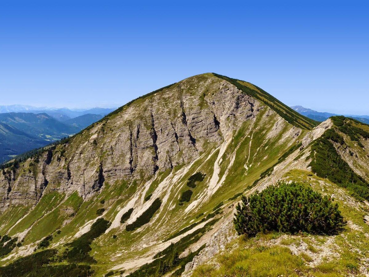
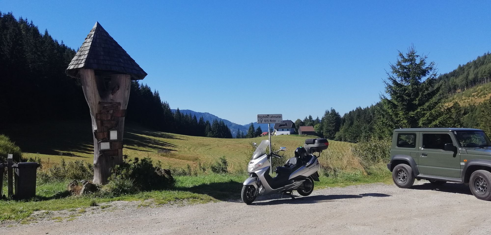
We start in Schwarzau im Gebirge and go through the Preintal. We follow the red-white marking of the Burgenland Mariazell Way, which runs parallel to this stage. Passing the Lahnwald and the mountains Gippel and Göller, we arrive at the Lahnsattel at the border to Styria. From here, the path runs along the B21 through Terz and Halltal to Mariazell.
Always take suitable maps with you. Wear sturdy shoes appropriate for the route, take sun and rain protection as well as water and a snack. Take your mobile phone with you and save the mountain rescue emergency number: 140
Your hikes in the Vienna Alps should be a beautiful and safe experience. Please therefore observe the following:
Preparation
Make sure when choosing the route that it matches your experience and fitness. Check the weather report beforehand. Weather in the mountains can change surprisingly quickly. Always set out accordingly equipped (e.g. rain protection).
Check if the huts and snack stations you want to visit along the way are open. Inform someone about your chosen route and your planned return before you start.
From Vienna take the A2 South Motorway. Take exit 38-Wöllersdorf. Drive on the B21 towards Wöllersdorf/Wr.Neustadt-Nord. Keep right at the fork and continue on Gutensteiner Str./B21. Turn left onto Klostertal. Continue on Vois and Klostertal. Turn right onto Höllental Str./B27 and follow it to Schwarzau im Gebirge.
From Graz drive on the S6 Semmering Expressway. Take exit Gloggnitz. Continue on Höllental Str./B27. Turn left to stay on Höllental Str./B27. Continue on B27. At the roundabout take the second exit (Hauptstraße/B27). Follow B27 to Schwarzau im Gebirge.
From Wiener Neustadt station, trains run regularly to Payerbach-Reichenau station. Then continue by bus to Schwarzau im Gebirge.
More information at www.oebb.at and www.vor.at
Parking spaces are available at the nature park in Schwarzau im Gebirge.
Vienna Alps in Lower Austria, www.wieneralpen.at, +43 / 2622 / 78960
Don't forget to take the Vienna Alps Viewer in a handy pocket format with you on the route!
Kamery internetowe z trasy
Mariazeller Bürgeralpe - Berggasthof
Zuckerwiese
Sternwarte
Mariazell
Gemeindealpe Talstation
Flugplatz St. Sebastian
JUFA Sigmundsberg
Mariazeller Bürgeralpe - Berggasthof
Mariazell
Mariazell
Feldbauer Mariazell
Mariazell
Mariazell - Chalets Monte Styria
Hauptplatz
Basilika Mariazell
Flugplatz St. Sebastian
Zellerhüte - Mariazell
Talstation
Gscheid/Oberes Traisental
Popularne wycieczki w okolicy
- 4,5
Familienwanderung auf die Schneealm im Naturpark Mürzer Oberland
światłoWędrówka 9,86 km - 4,8
Falkensteiner Klettersteig
ciężkiVia ferrata 3,35 km - 4,8
RAX Hinternaßwald Reißtalklamm Bärenlochsteig Habsburghaus Kaisersteig retour 01.08.2017
ciężkiWędrówka 15,6 km - 4,7
"Schneealpe" - "Windberg 1903m" Rundkurs
średniWędrówka 14,3 km - 4,6
Schneealpe - abseits der Trampelpfade auf den Windberg
średniWędrówka 11,5 km - 4,6
Tour auf den Göller
światłoWycieczki górskie 9,32 km - 4,5
Gippelaufstieg (Zögernitz, Türl, Gippel)
średniWędrówka 5,92 km - 4,3
Gippel über Gippelmauer
średniWędrówka 12,9 km - 4,7
HINTERNASSWALD Großer Sonnleitstein Amais-Wies-Hütte retour 20200801
średniWędrówka 10,5 km - 3,9
Niederalpl - Hohe Veitsch Rundwanderung
średniWędrówka 13,3 km
Wędrówki i tropienie


Nie przegap ofert i inspiracji na następne wakacje
Twój adres e-mail została dodana do listy mailingowej.