


Vienna Pilgrim's Way: Stage 4/4: St. Aegyd - Mariazell
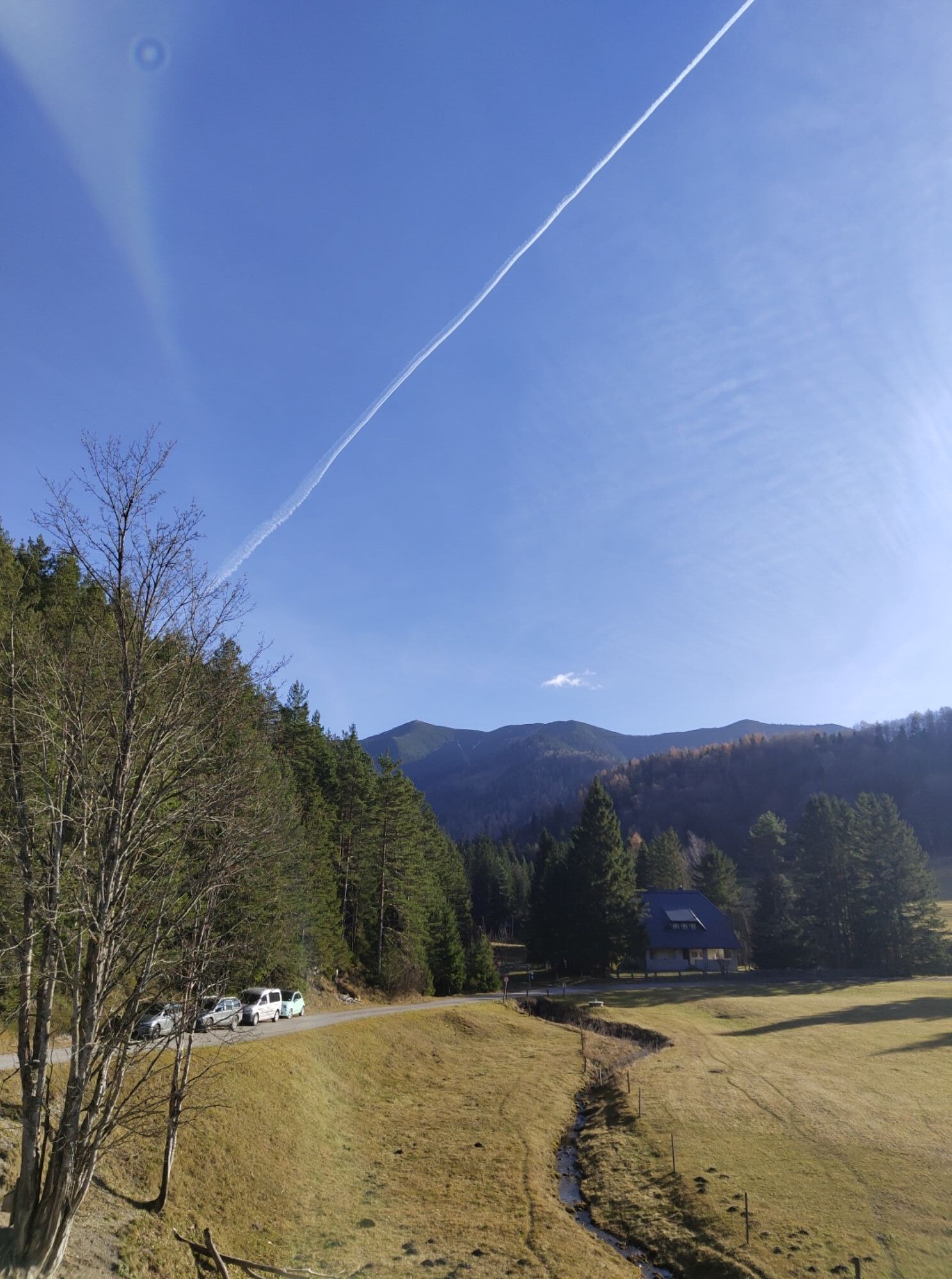
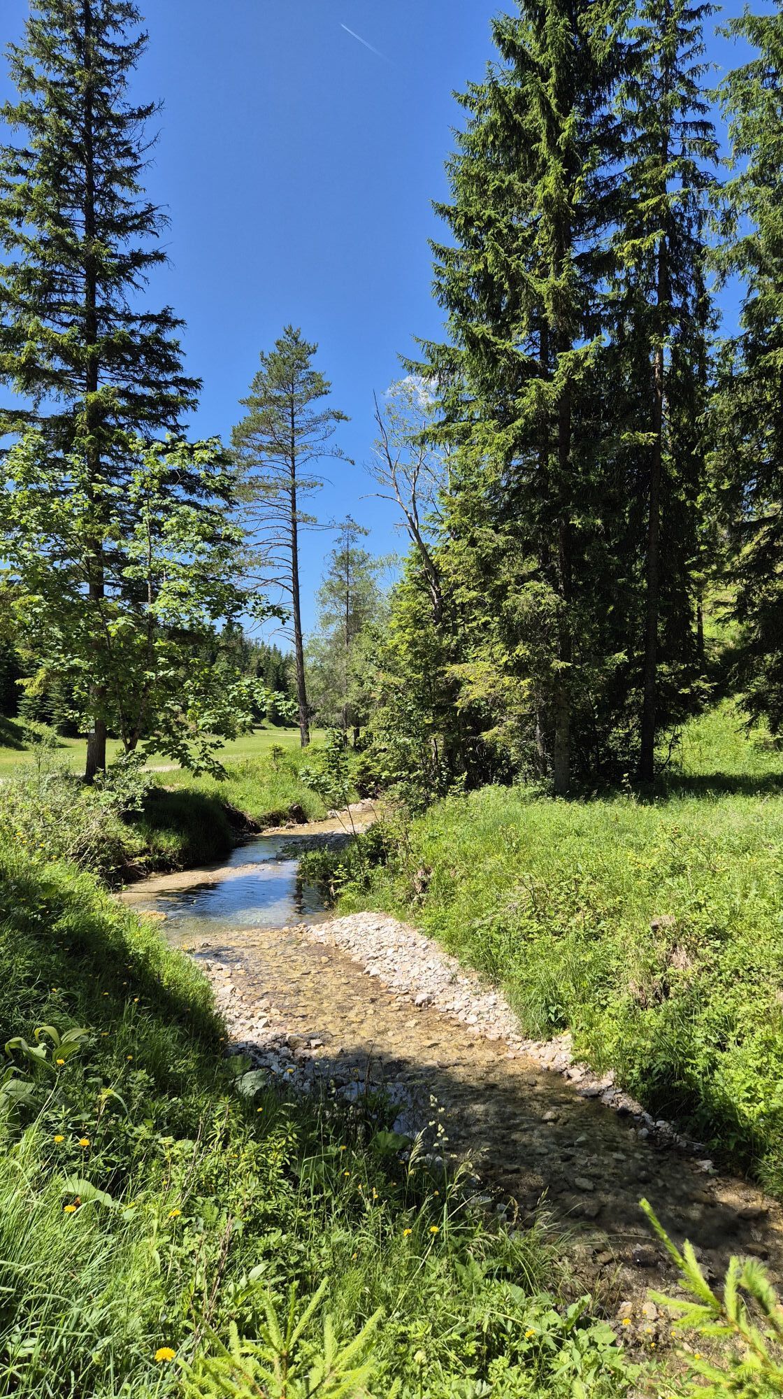

The forest ditch of the Unrechttraisen leads to the Kernhofer Gscheid (03:30 h). From St. Aegyd it is also possible to reach the Gscheid via Kernhof. After the Gscheid there is a stretch of road, after...
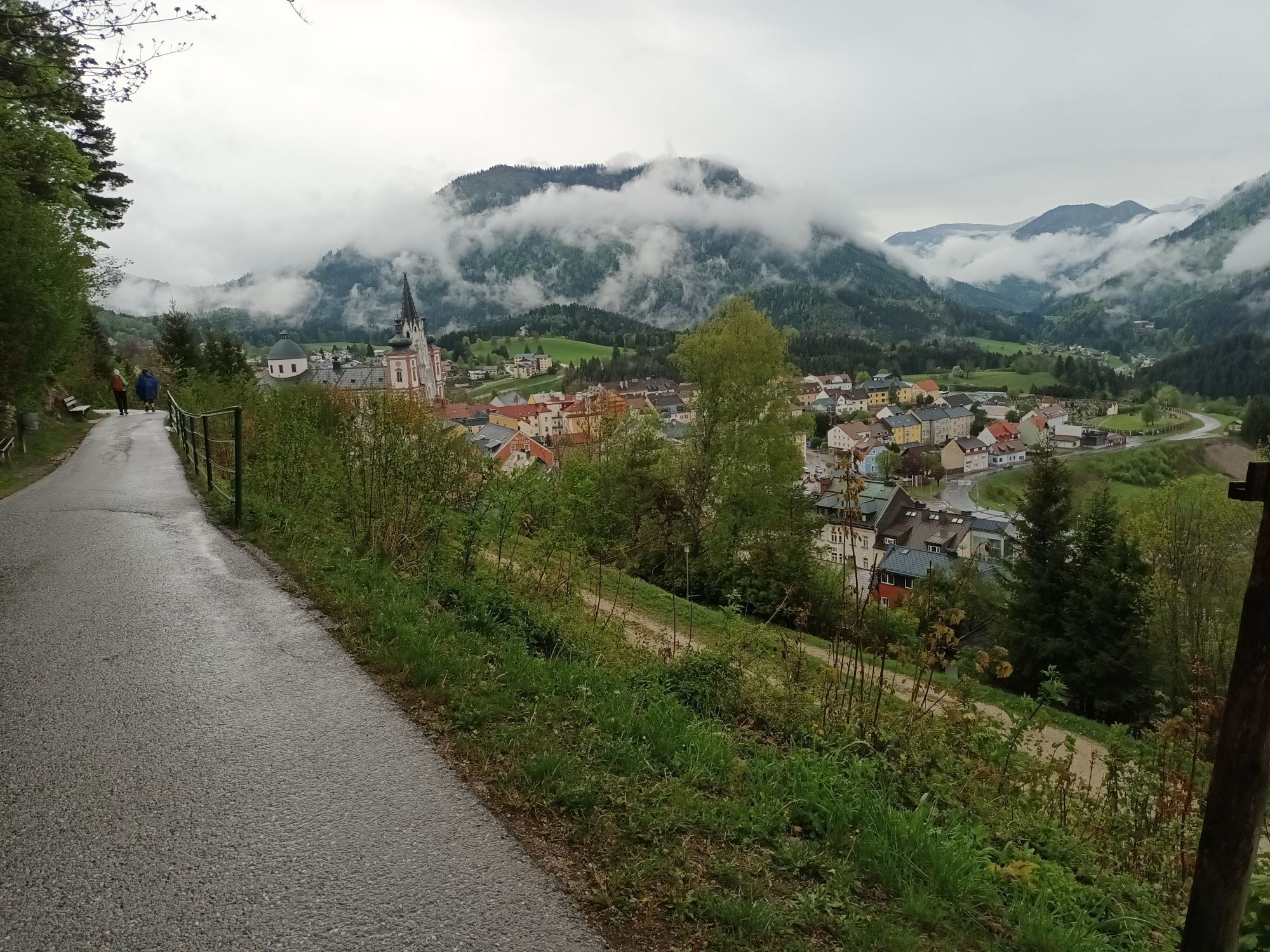
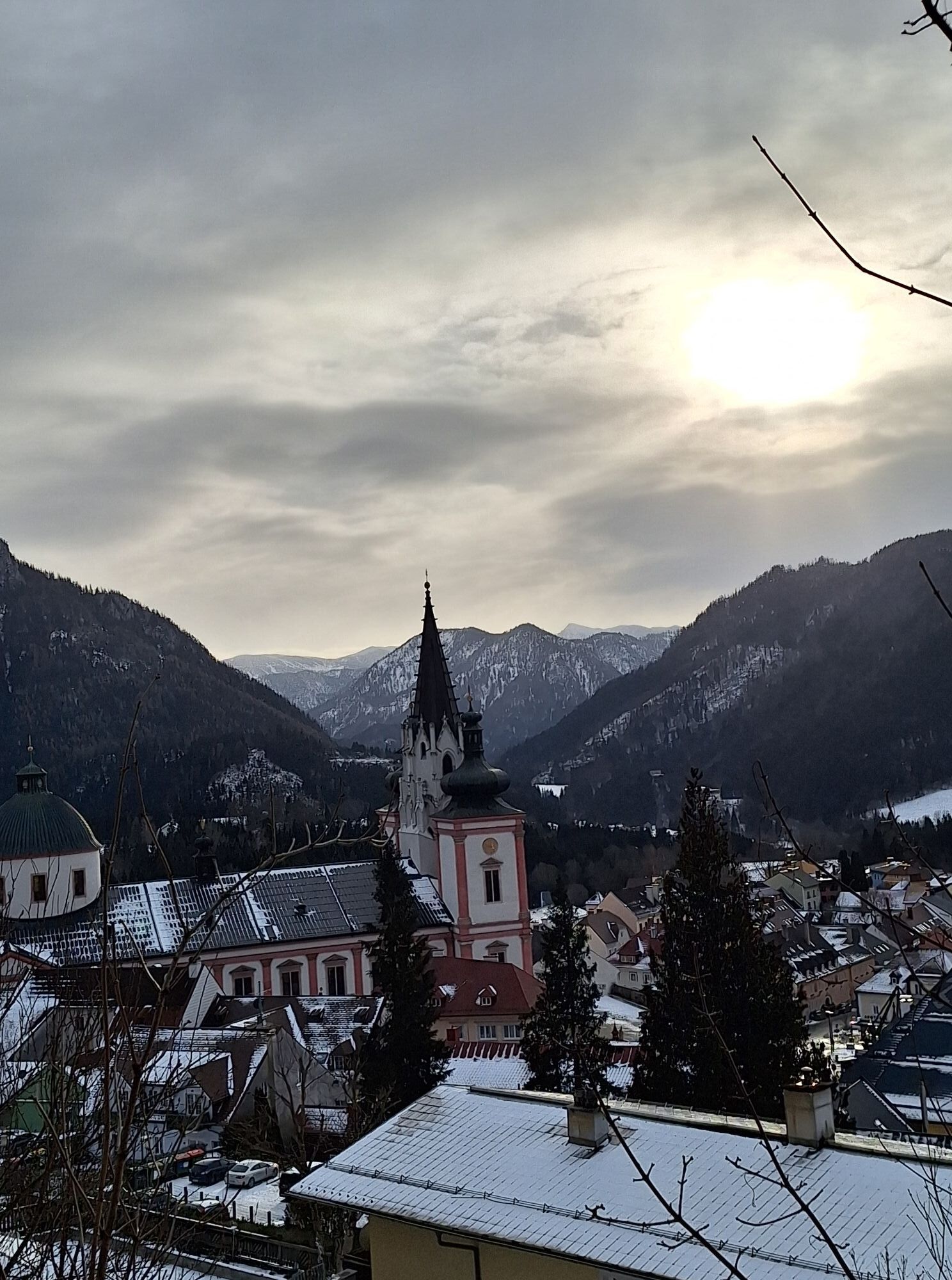
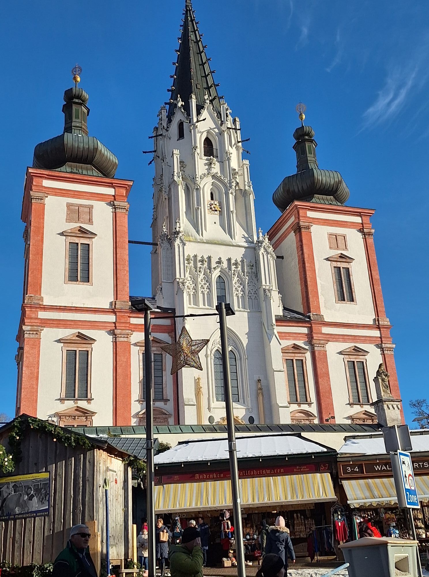
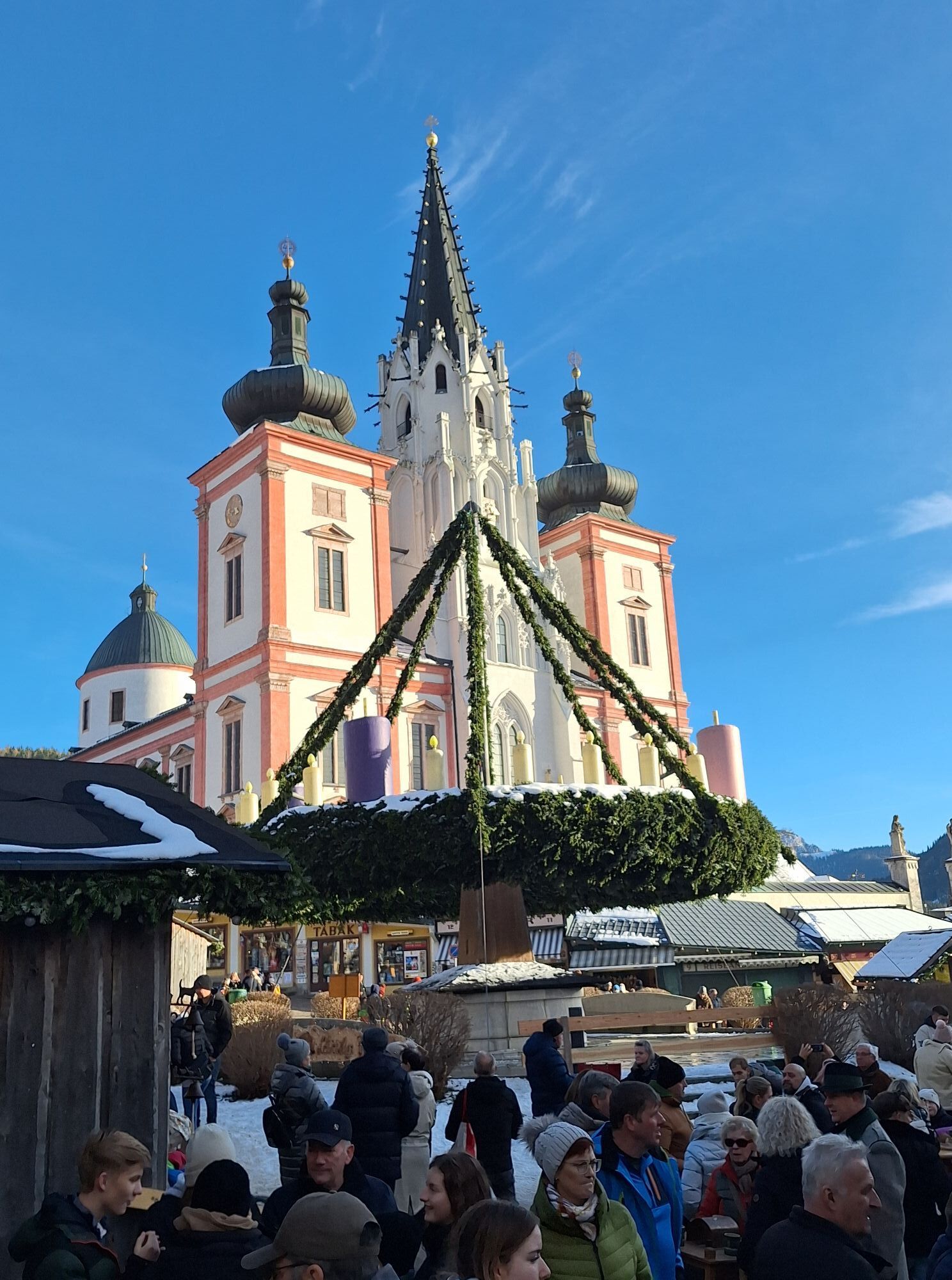
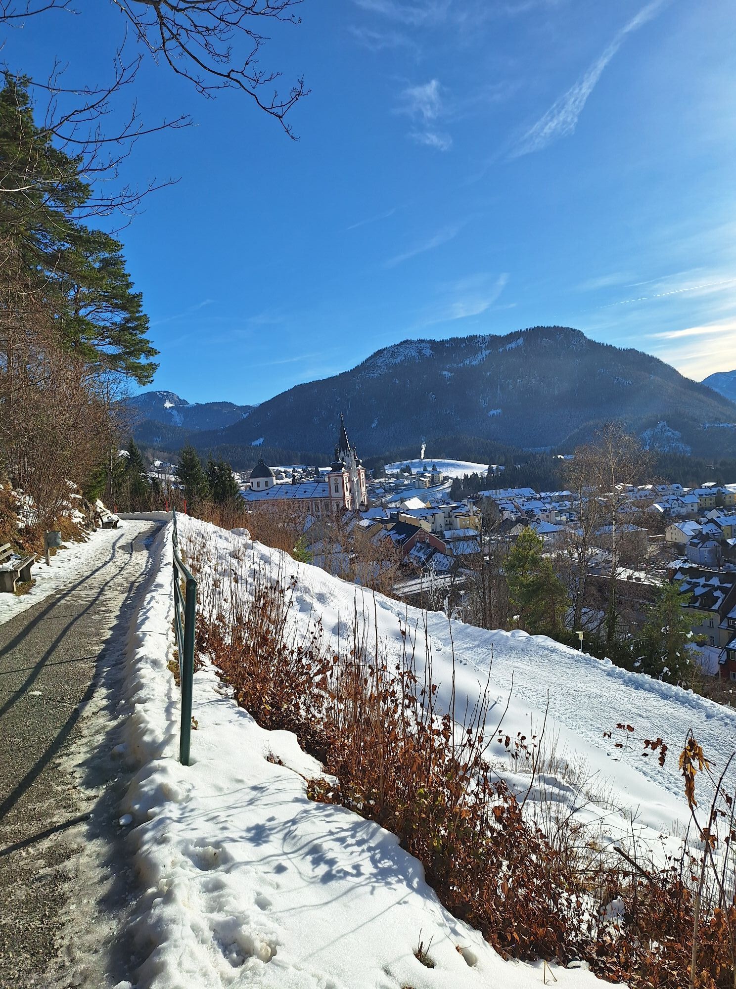
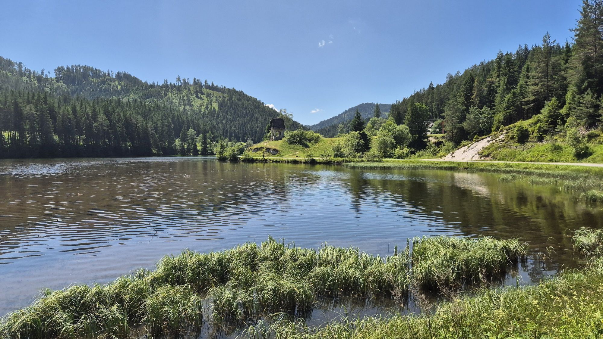
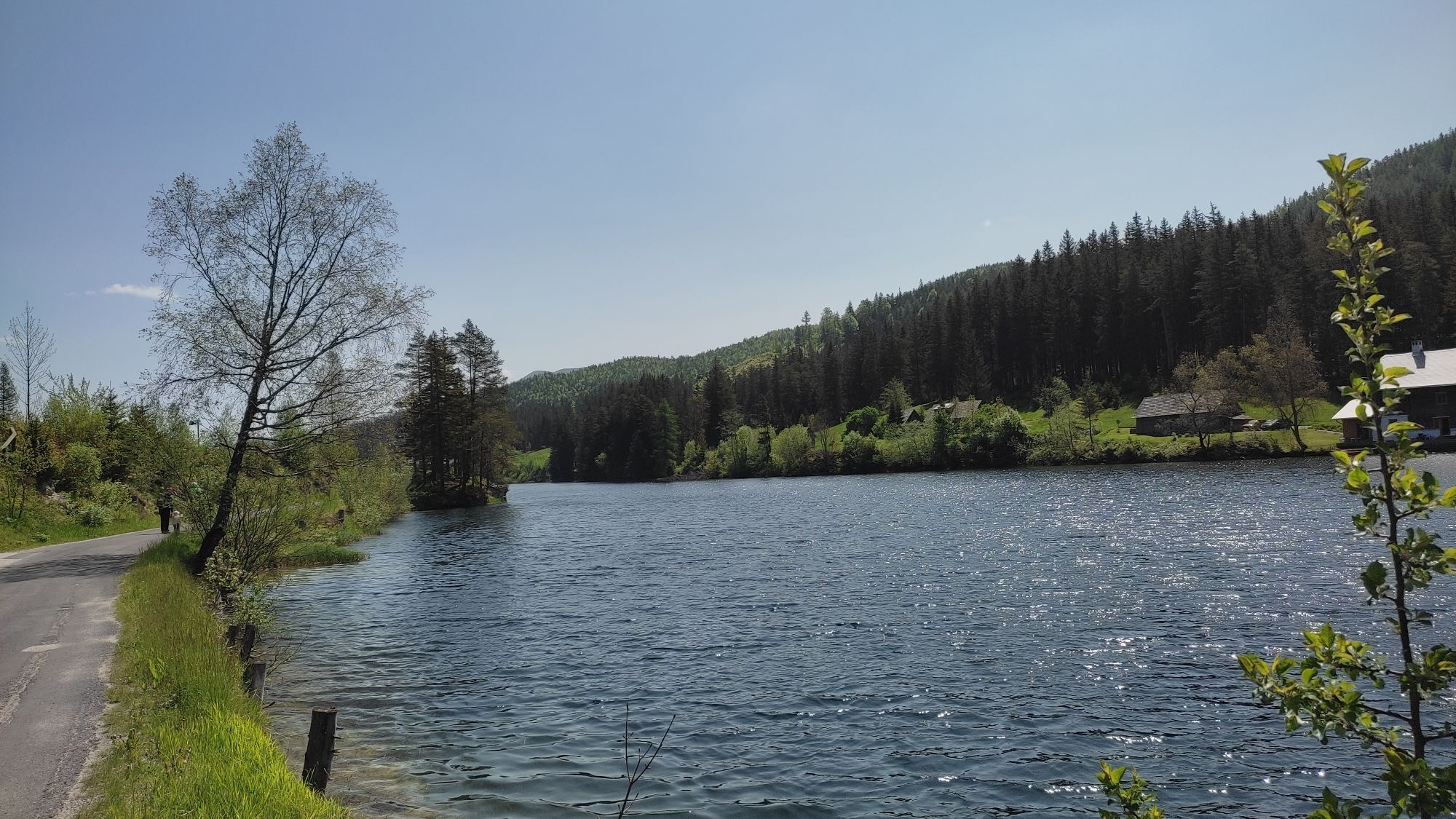
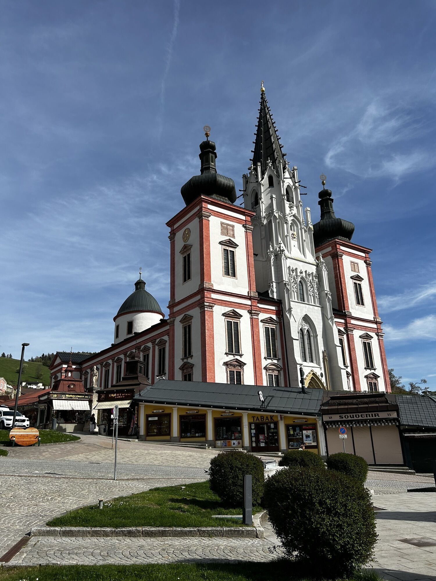
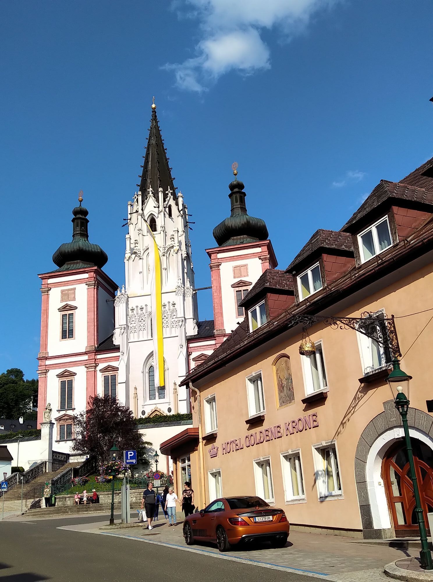
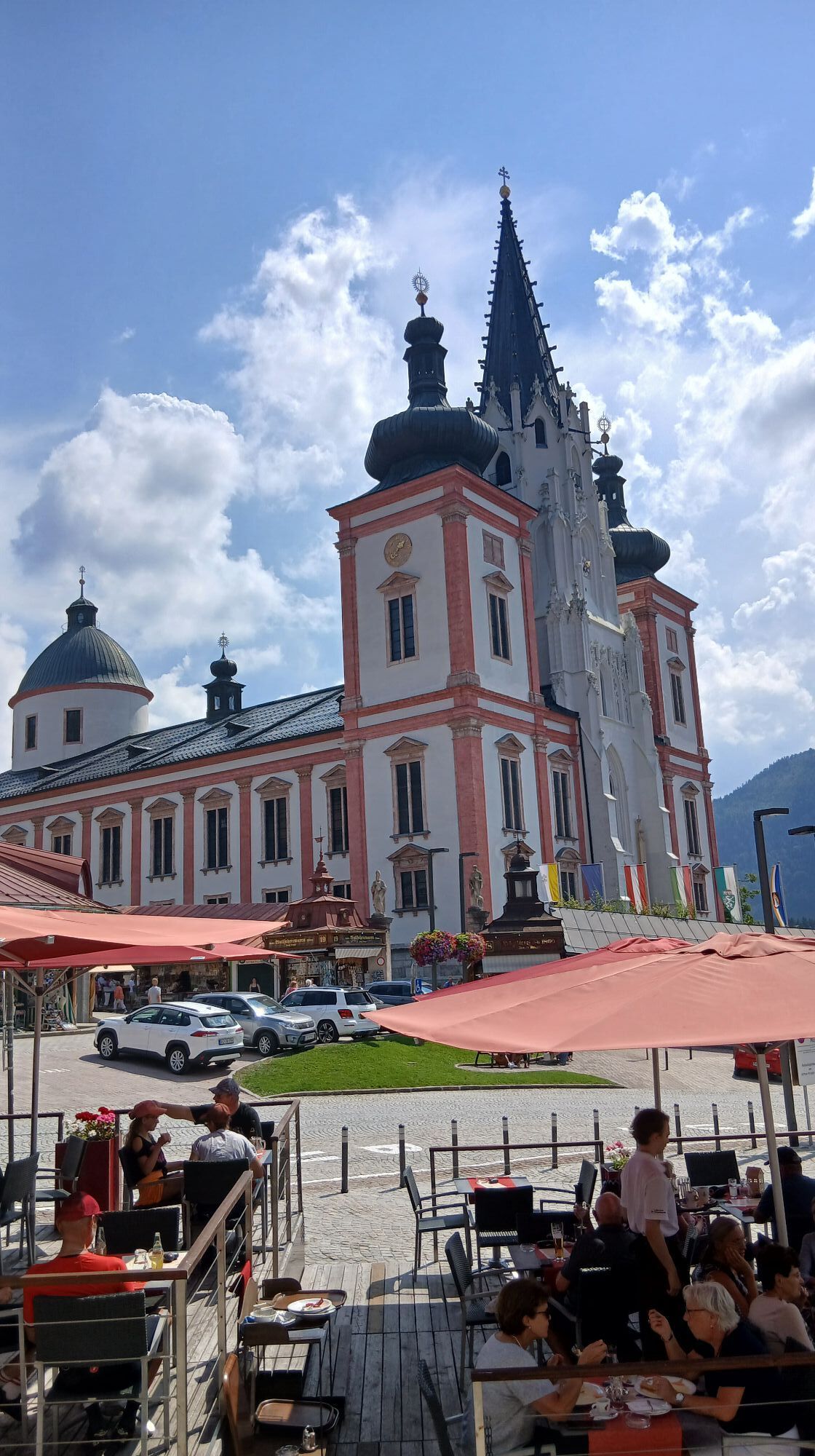
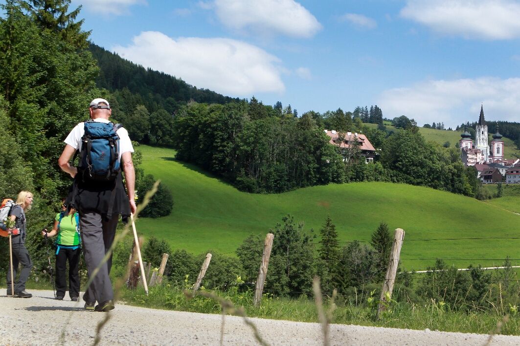
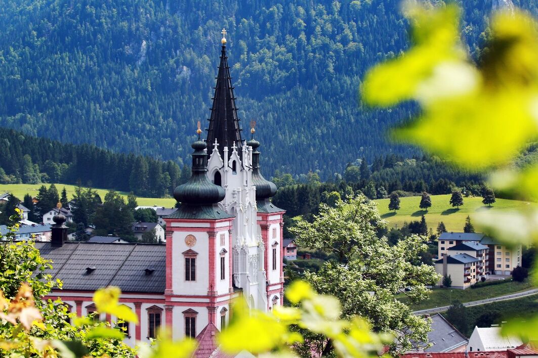
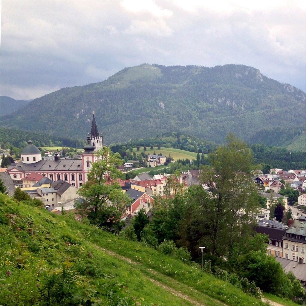
The forest ditch of the Unrechttraisen leads to the Kernhofer Gscheid (03:30 h). From St. Aegyd it is also possible to reach the Gscheid via Kernhof. After the Gscheid there is a stretch of road, after which you turn into a forest road and cross the Krumbachsattel into the Walstertal (junction with the Falkenschluchtweg from Türnitz). The trail continues along the Hubertussee (on asphalt) to the Bruder-Klaus-Kirche (02:30 h). From here, walk westwards in the Walstertal valley to the turn-off to the moderately strenuous Habertheuersattel. Once there, descend to the Sebastianiweg and Rosenkranzweg trails and continue along these to the Mariazell Gnadenkirche (03:15 h from Walstern).

Appropriate hiking equipment is required. Additionally, it should be noted that this is a multi-day hike.
Further information also at: https://www.viasacra.at/10-tipps-fuer-einsteiger
Walking times: The indicated walking times were calculated based on the German Alpine Club’s table. These are pure walking times, rounded to the next quarter hour.
From Vienna:
South Motorway A2 towards Linz – continue on Vienna Outer Ring Motorway A21 towards Linz/St. Pölten – West Motorway A1 towards St. Pölten – exit St. Pölten South – continue on Mariazell Federal Road B20 towards Mariazell/Lilienfeld to Freiland – continue on Hohenberger Street B214 to St. Aegyd am Neuwalde.
Bus and train connections (multiple transfers necessary).
Mostviertel Tourismus GmbH
Töpperschloss Neubruck, Neubruck 2/10, 3283 Scheibbs
T +43/7482/20 444
info@viasacra.at
www.viasacra.at
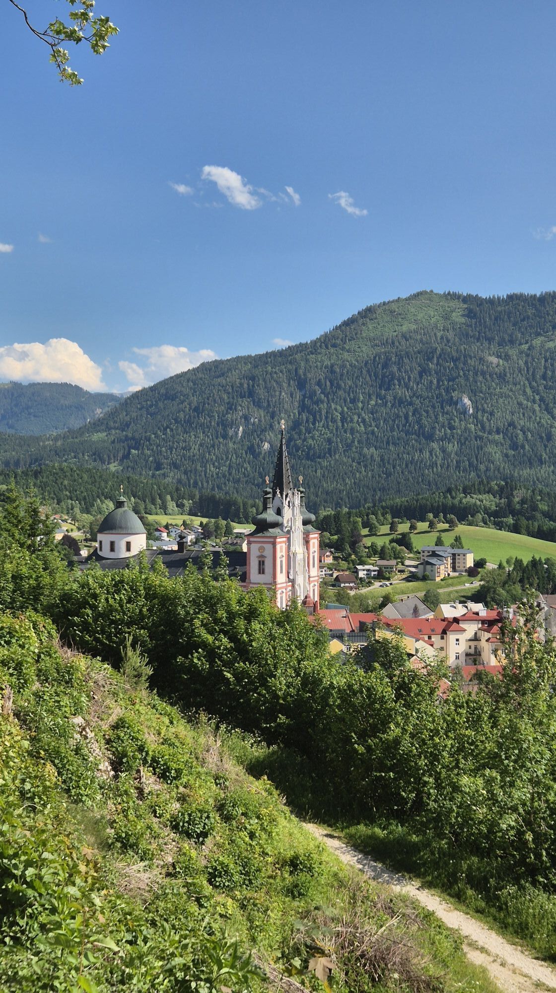
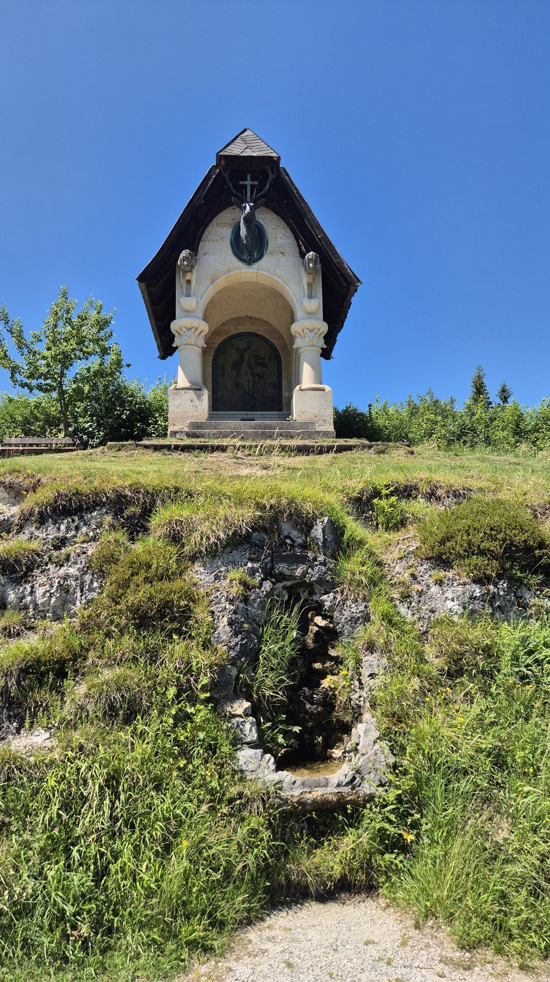
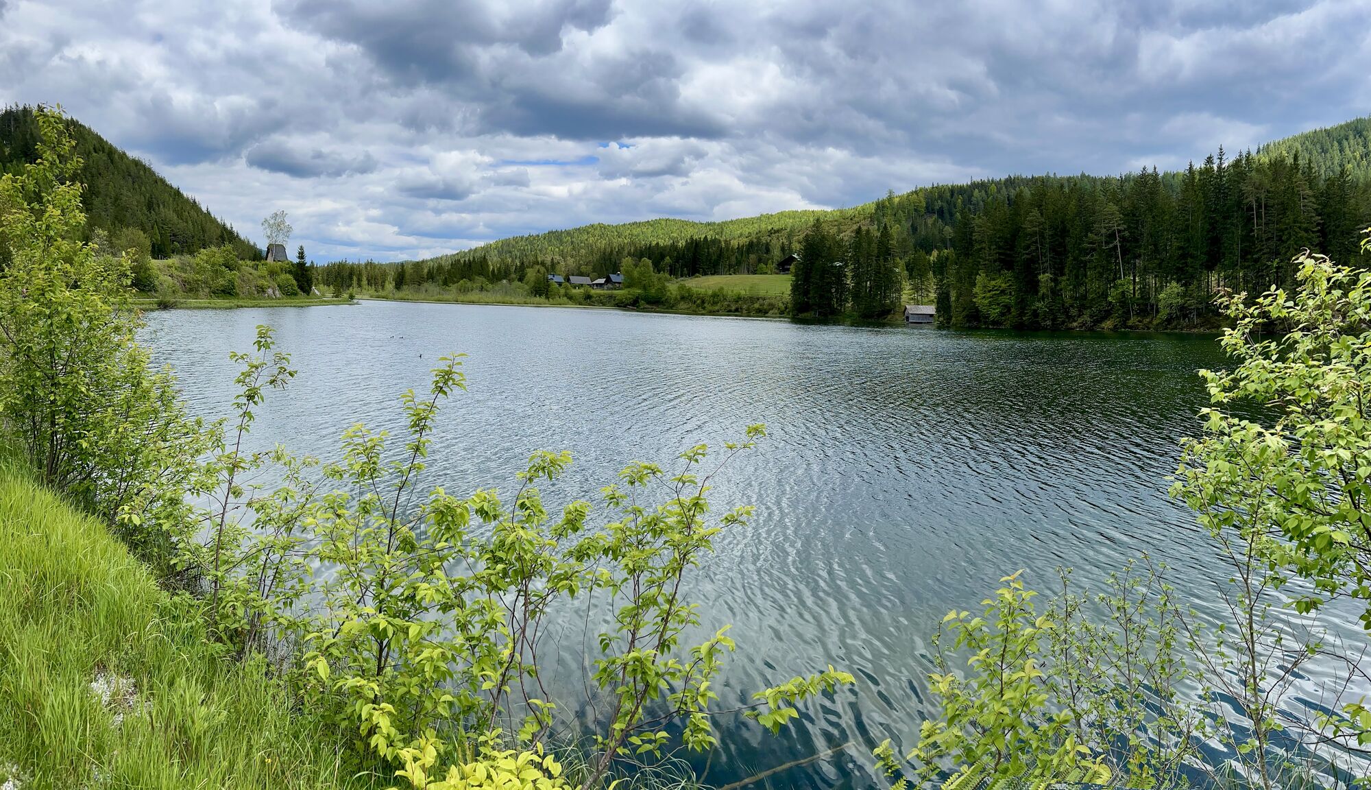
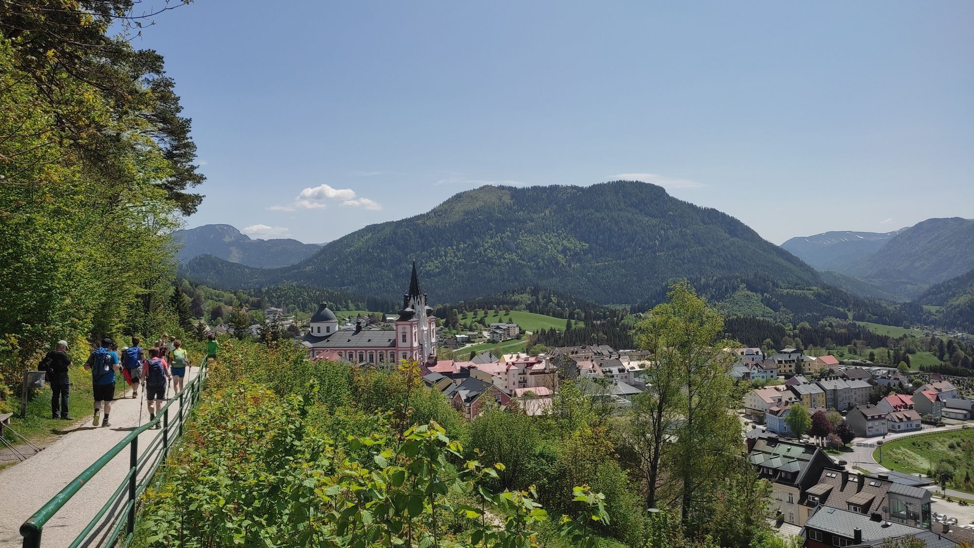
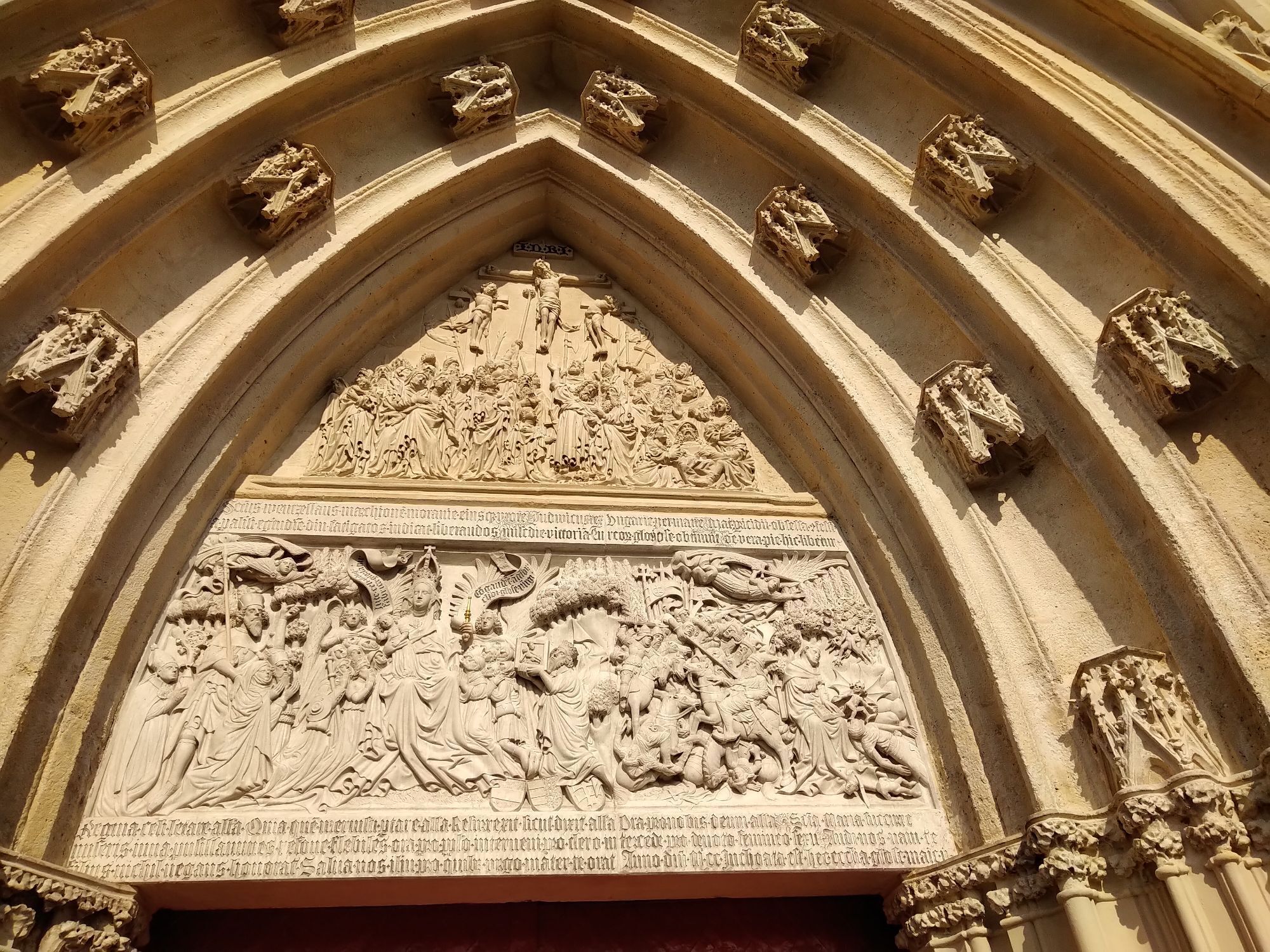
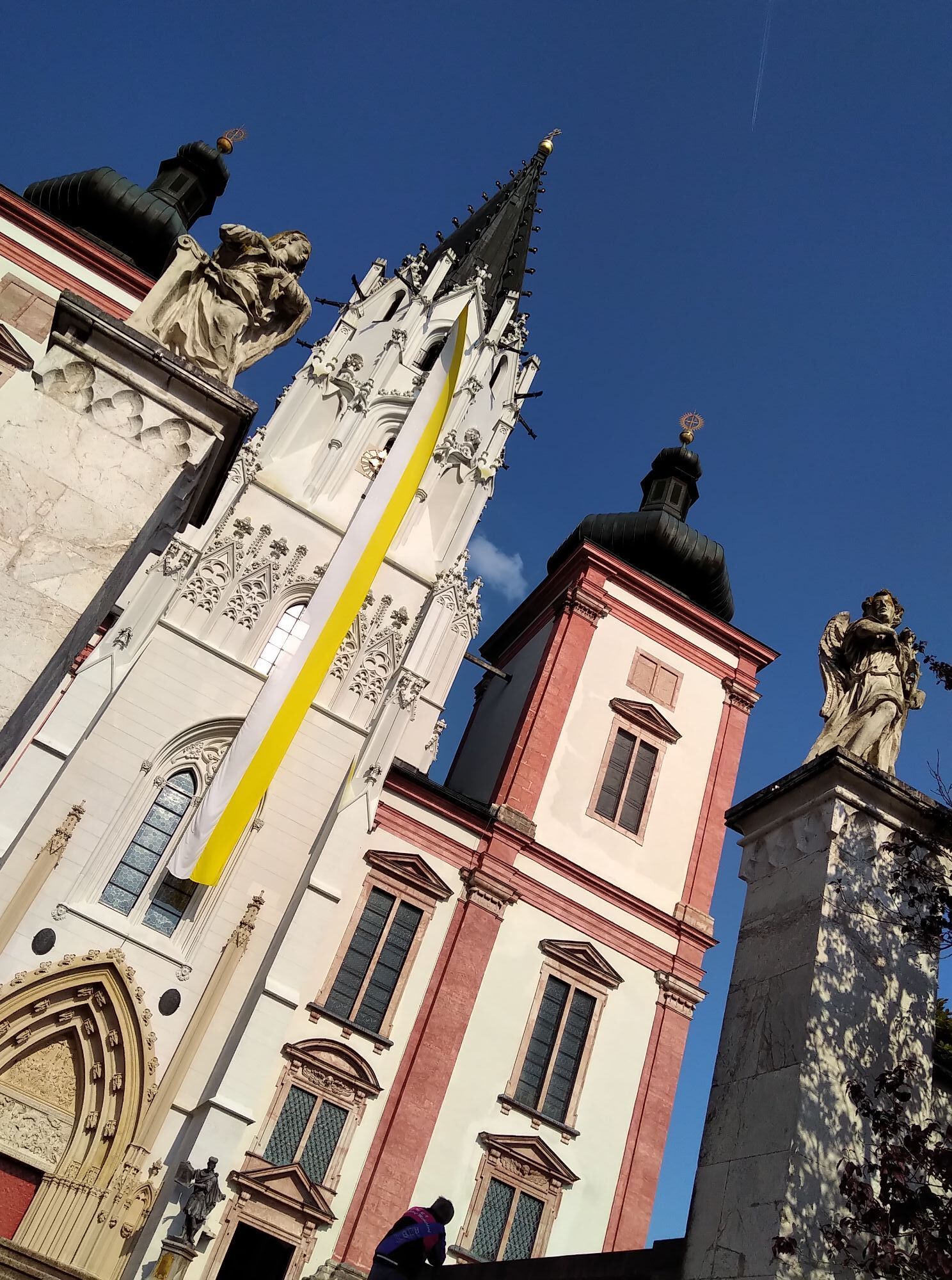
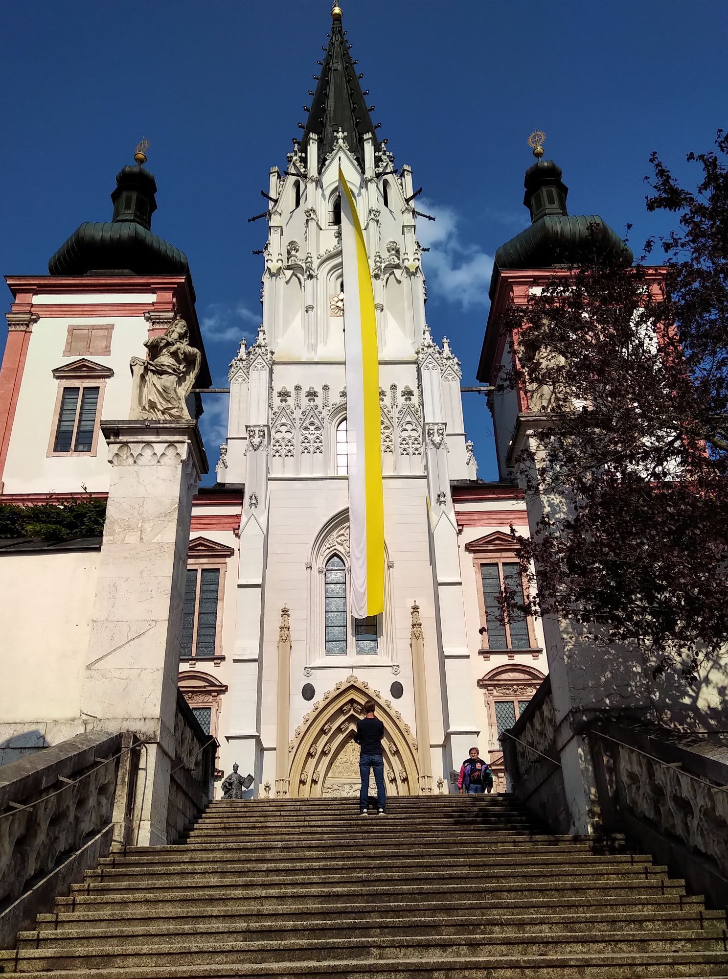
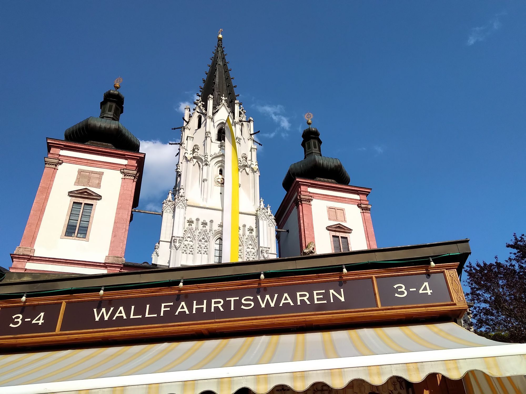
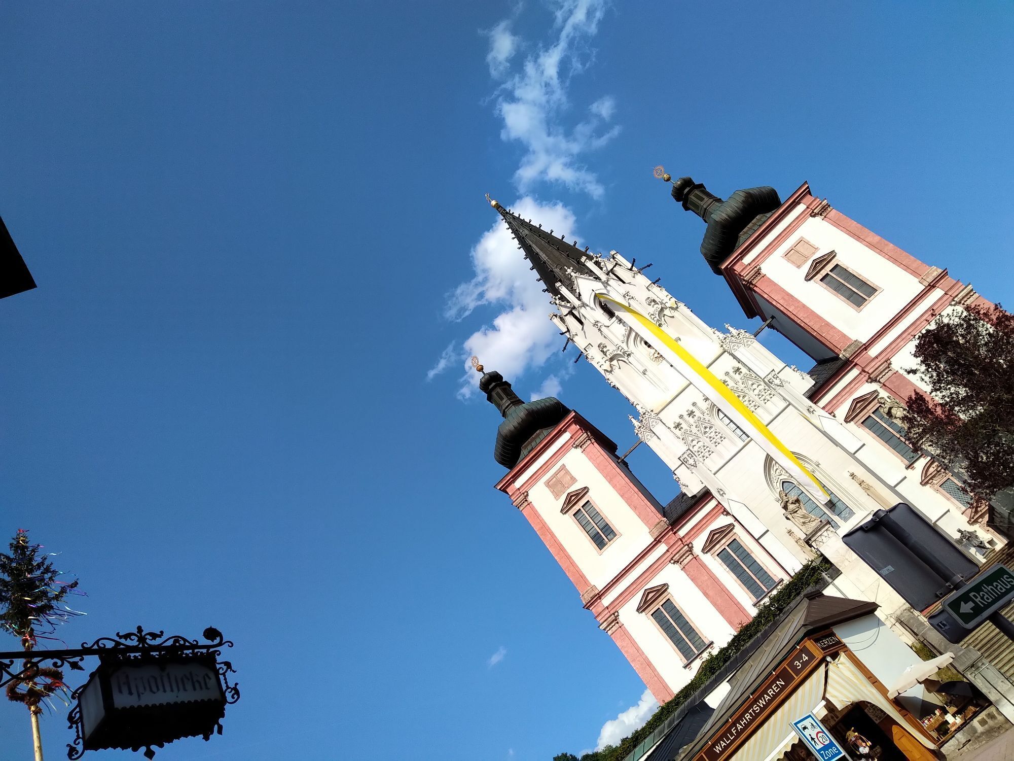
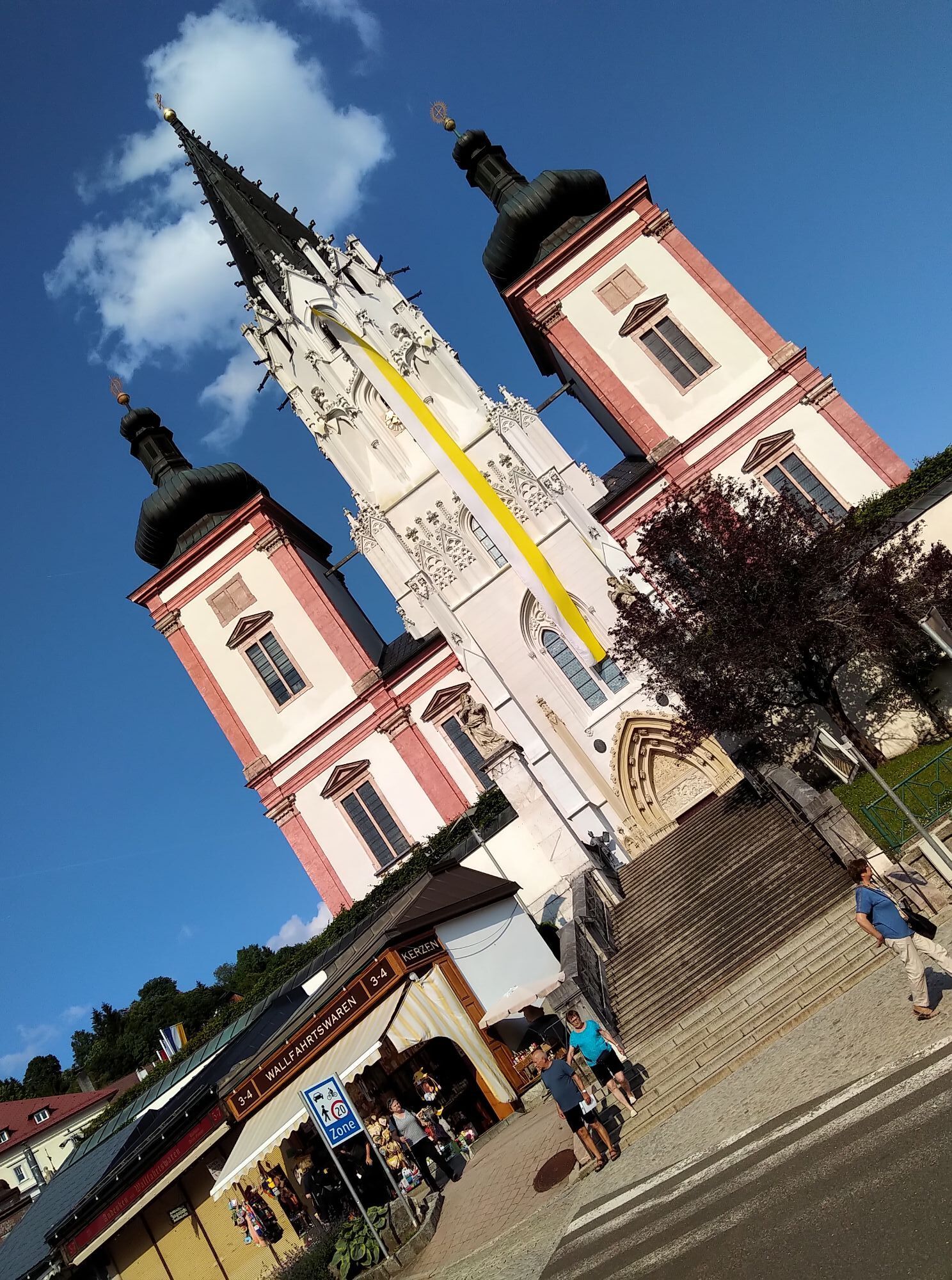
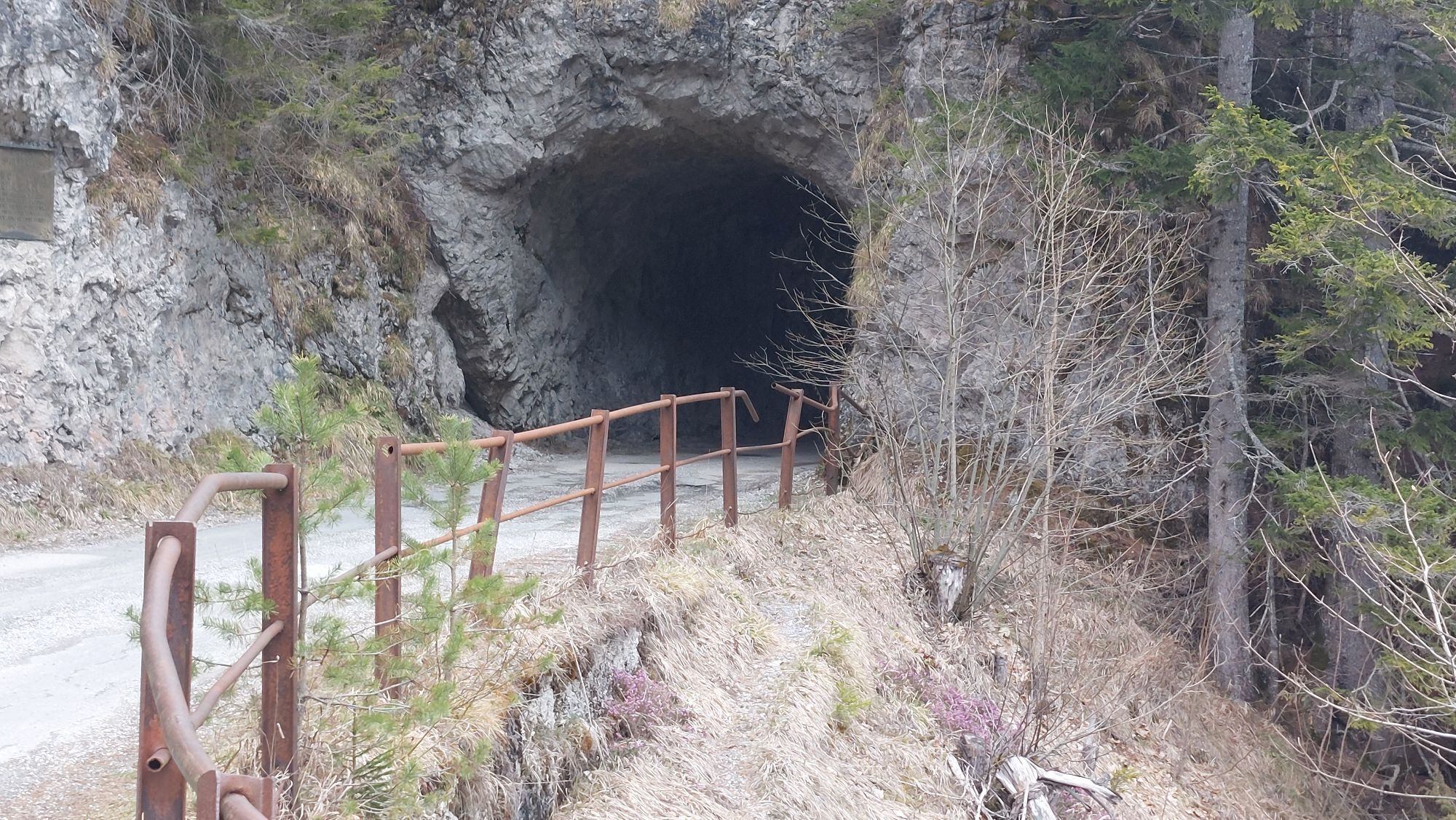
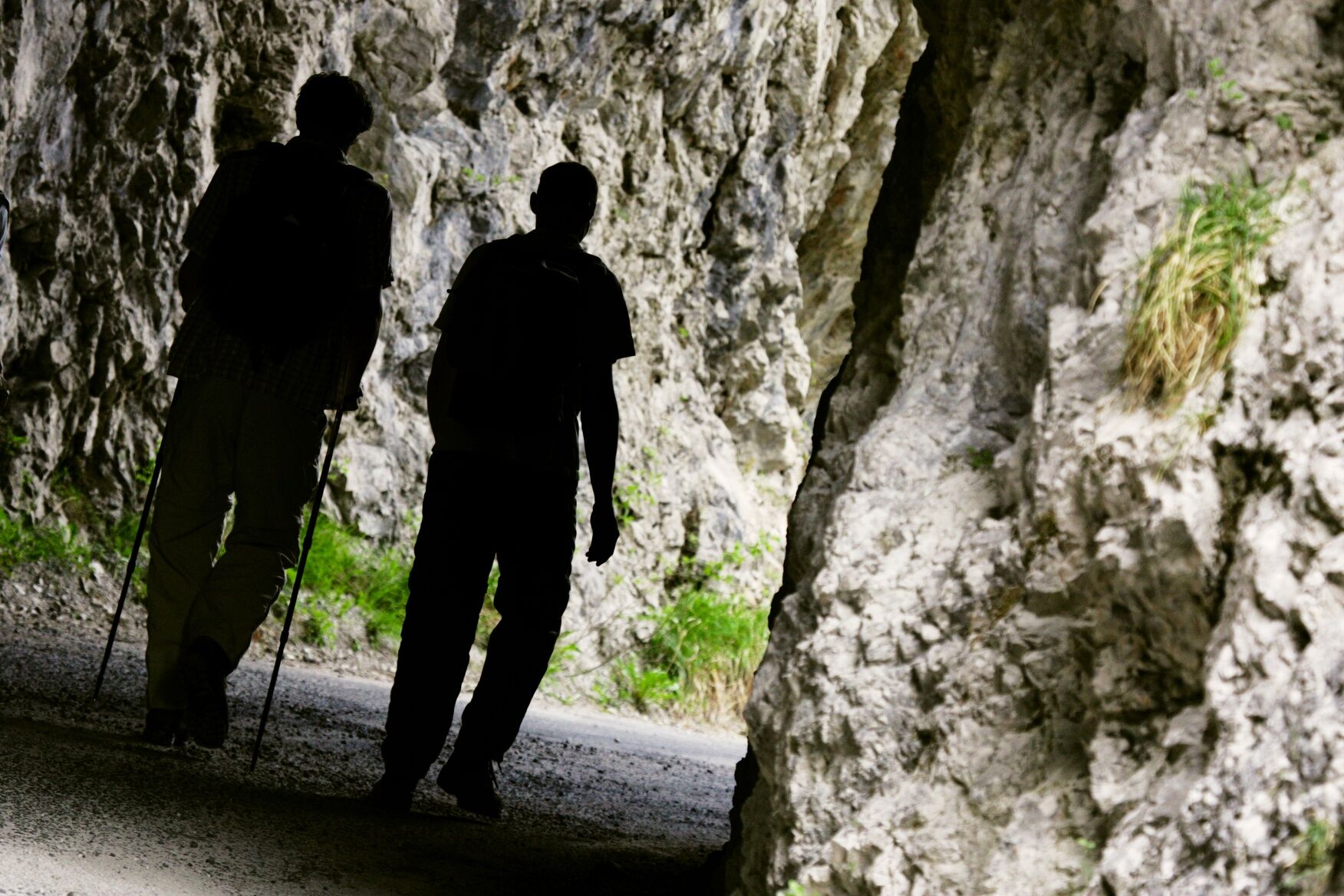
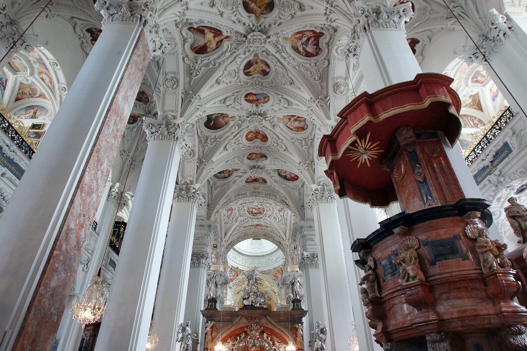
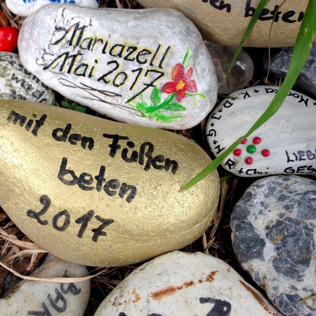
Sights: Bruder-Klaus Church in Walstern, Arthur Krupp Memorial Trail, Kreuzberg "Luckertes Kreuz" (cultic passage custom), Basilica in Mariazell
Kamery internetowe z trasy
Mariazeller Bürgeralpe - Berggasthof
Zuckerwiese
Gemeindealpe Mittelstation
Sternwarte
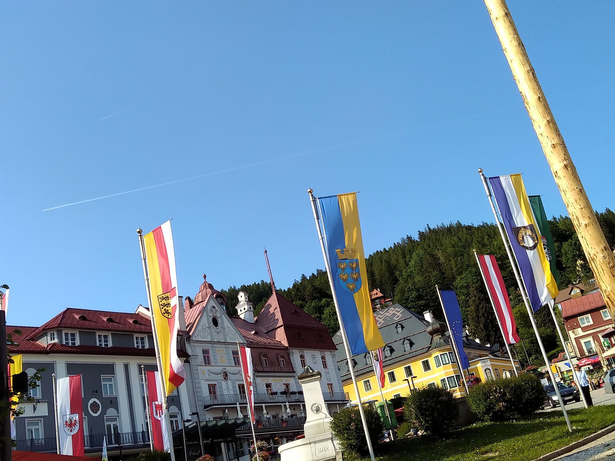
Mariazell
Flugplatz St. Sebastian
JUFA Sigmundsberg
Bürgeralpe - Kristallsee
Kernhof - St. Aegyd am Neuwalde
Kernhof - St. Aegyd am Neuwalde
Mariazeller Bürgeralpe - Berggasthof
Mariazell
Mariazell
Feldbauer Mariazell
Mittelstation
Gemeindealpe Mittelstation
Gemeindealpe Mittelstation
Gemeindealpe Mittelstation
Gemeindealpe Mittelstation
Gemeindealpe Mittelstation
Gemeindealpe Mittelstation
Gemeindealpe Mittelstation
Mitterbach
Mariazell
Stapelhaus
Mariazell - Chalets Monte Styria
Hauptplatz
Basilika Mariazell
Flugplatz St. Sebastian
Zellerhüte - Mariazell
Talstation
Gscheid/Oberes Traisental
Aktywności na trasie

St. Aegyd am Neuwalde, Niederösterreich/Österreich
31.05.2026 – Wędrówka
St. Aegyd am Neuwalde, Niederösterreich/Österreich
21.05.2026 – WędrówkaMariazell, Steiermark/Österreich
16.05.2026 – WędrówkaSt Aegyd - Gschoadwirt
24.04.2026 – Wędrówka
St. Aegyd am Neuwalde, Niederösterreich/Österreich
23.04.2026 – Wędrówka
Popularne wycieczki w okolicy
- 4,9
Gemeindealpe
średniWędrówka 13,5 km - 4,9
Lassingfall->Ötscherhias->Erlaufklause
średniWędrówka 8,72 km - 4,7
Naturpark Ötscher-Tormäuer Wienerbruck
światłoWędrówka 6,06 km - 4,7
Türnitz - Eisenstein Türnitz, Niederösterreich
średniWędrówka 15,5 km - 4,7
Erlaufsee-Rundweg
światłoWędrówka 5,37 km - 4,6
Eisenstein Rundweg von Türnitz-Knedelhof
światłoWędrówka 10,2 km - 4,6
Tour auf den Göller
światłoWycieczki górskie 9,32 km - 4,5
Gippelaufstieg (Zögernitz, Türl, Gippel)
średniWędrówka 5,92 km - 4,5
Ötschergräben Runde über Wienerbruck, Josefsberg und Erlaufsee
światłoWędrówka 16,8 km - 4,3
Gippel über Gippelmauer
średniWędrówka 12,9 km
Wędrówki i tropienie


Nie przegap ofert i inspiracji na następne wakacje
Twój adres e-mail została dodana do listy mailingowej.