


Sonntagberg route 1st stage: from Maria Taferl to Neustadtl
Zdjęcia naszych użytkowników
-
 © Gerhard BrucknerUtworzono dnia 22.03.2026
 -
 © Sebastian HütterUtworzono dnia 26.12.2025
 -
 © zirberlUtworzono dnia 23.09.2025
 -

 © Oedendorfer MartinUtworzono dnia 14.07.2025
 -
 © BellouUtworzono dnia 27.04.2025
 -
 © koessler elisabethUtworzono dnia 10.04.2025
 -
 © koessler elisabethUtworzono dnia 10.04.2025
 -
 © Mart0mUtworzono dnia 14.05.2024
 -
 © WilfriedUtworzono dnia 06.09.2025


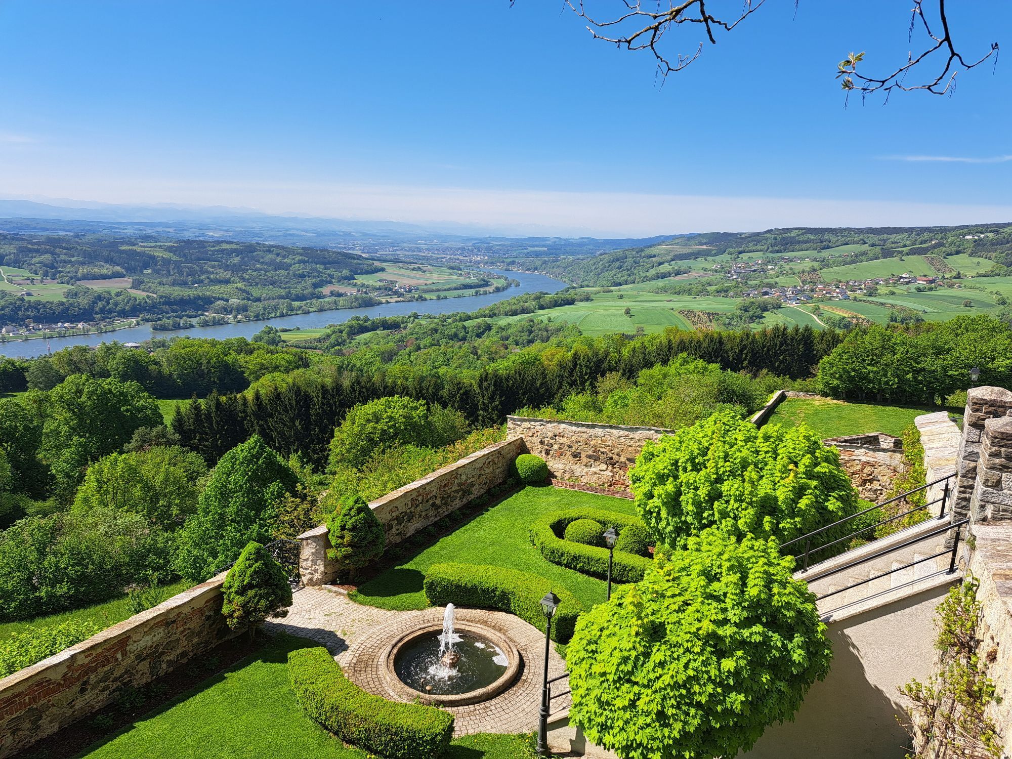
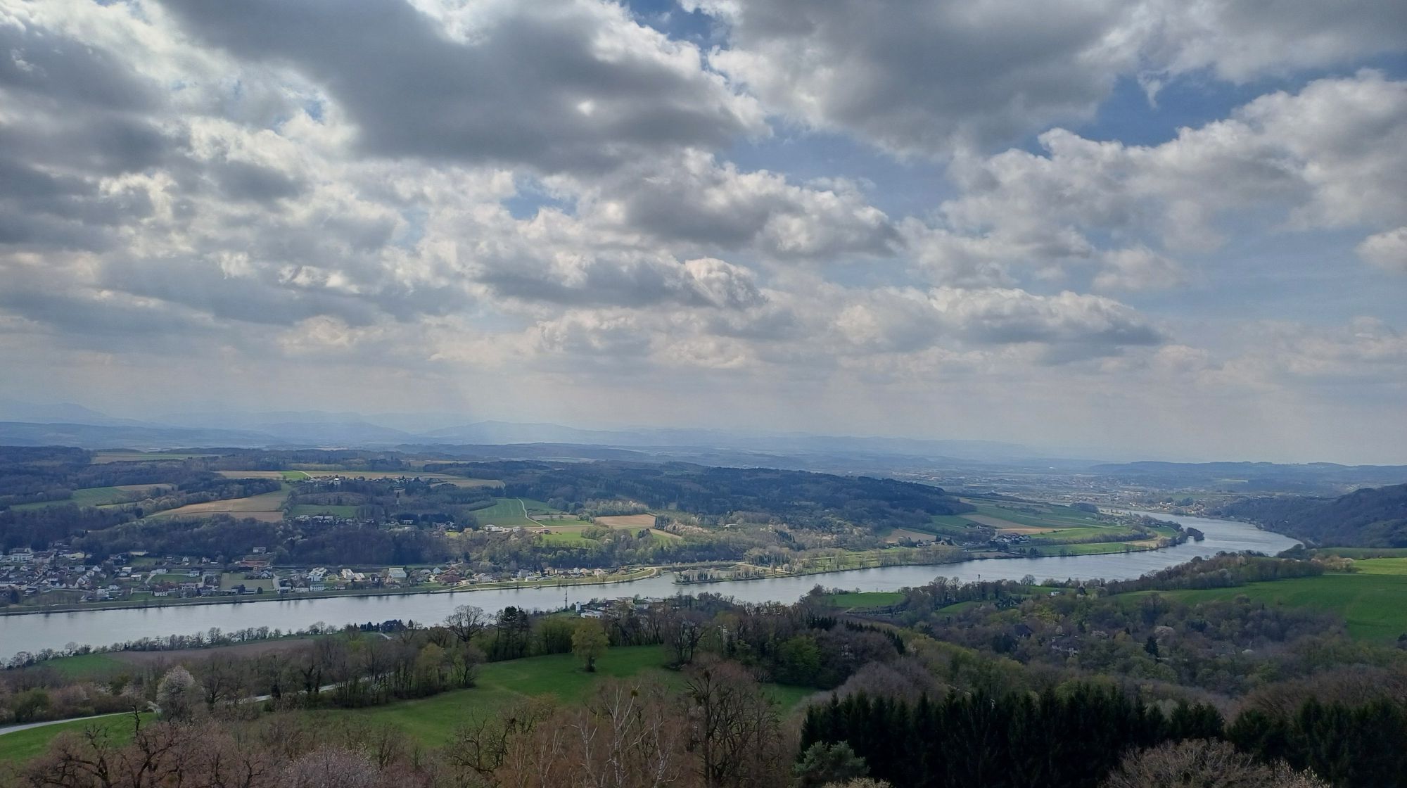

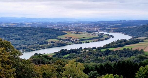
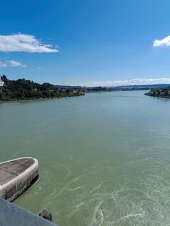
From Maria Taferl, the route leads downhill via the large staircase and through beautiful deciduous forests to the banks of the Danube in Marbach. Once you reach the town center, take a detour to the baroque...
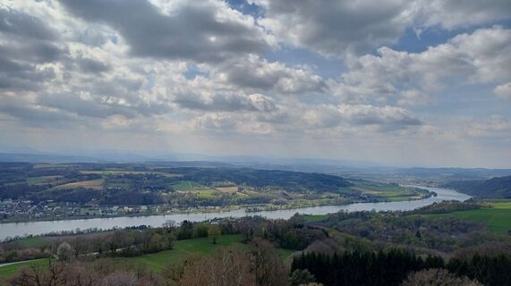
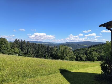
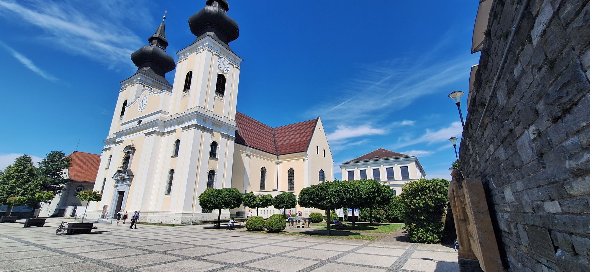
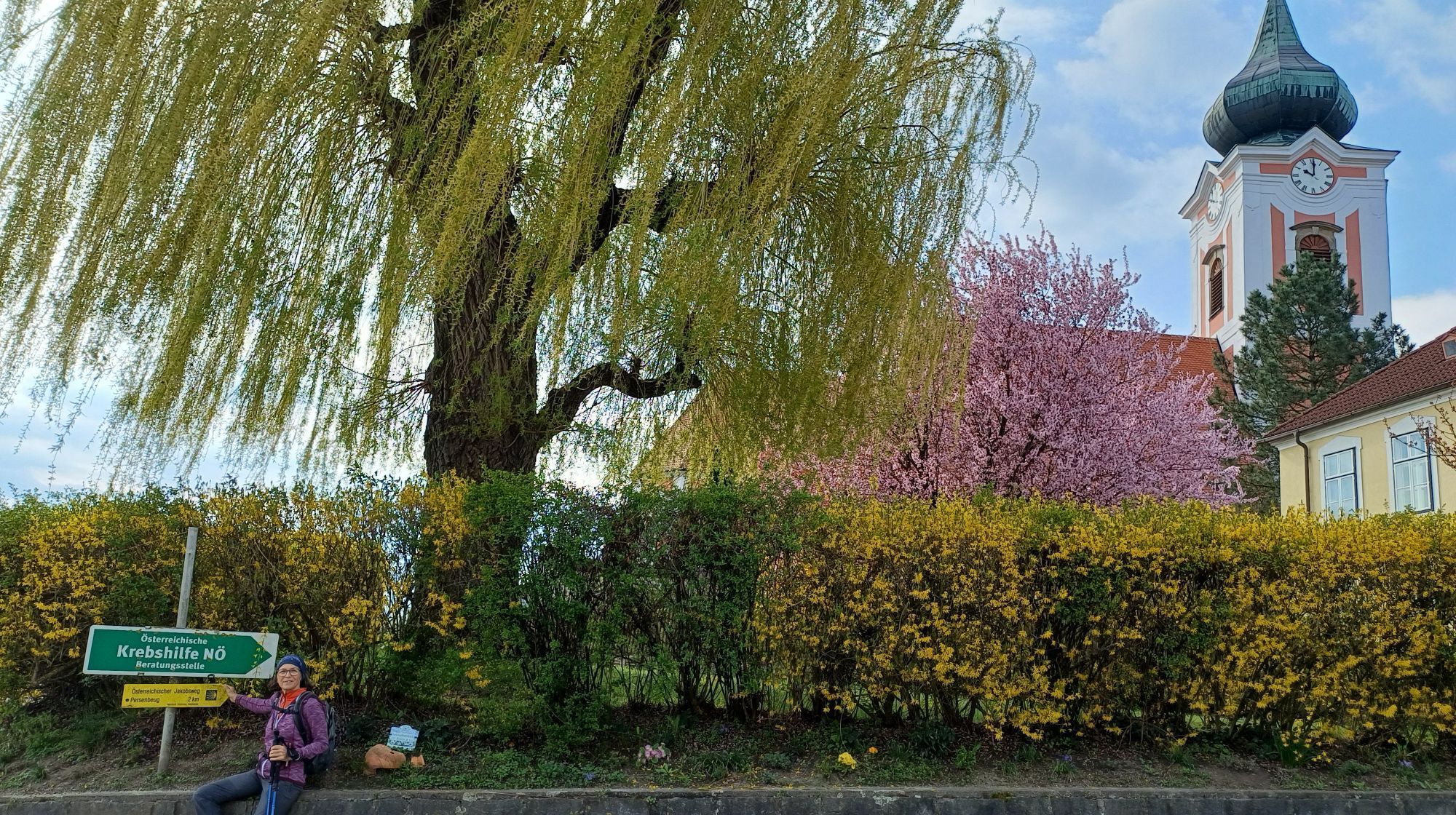
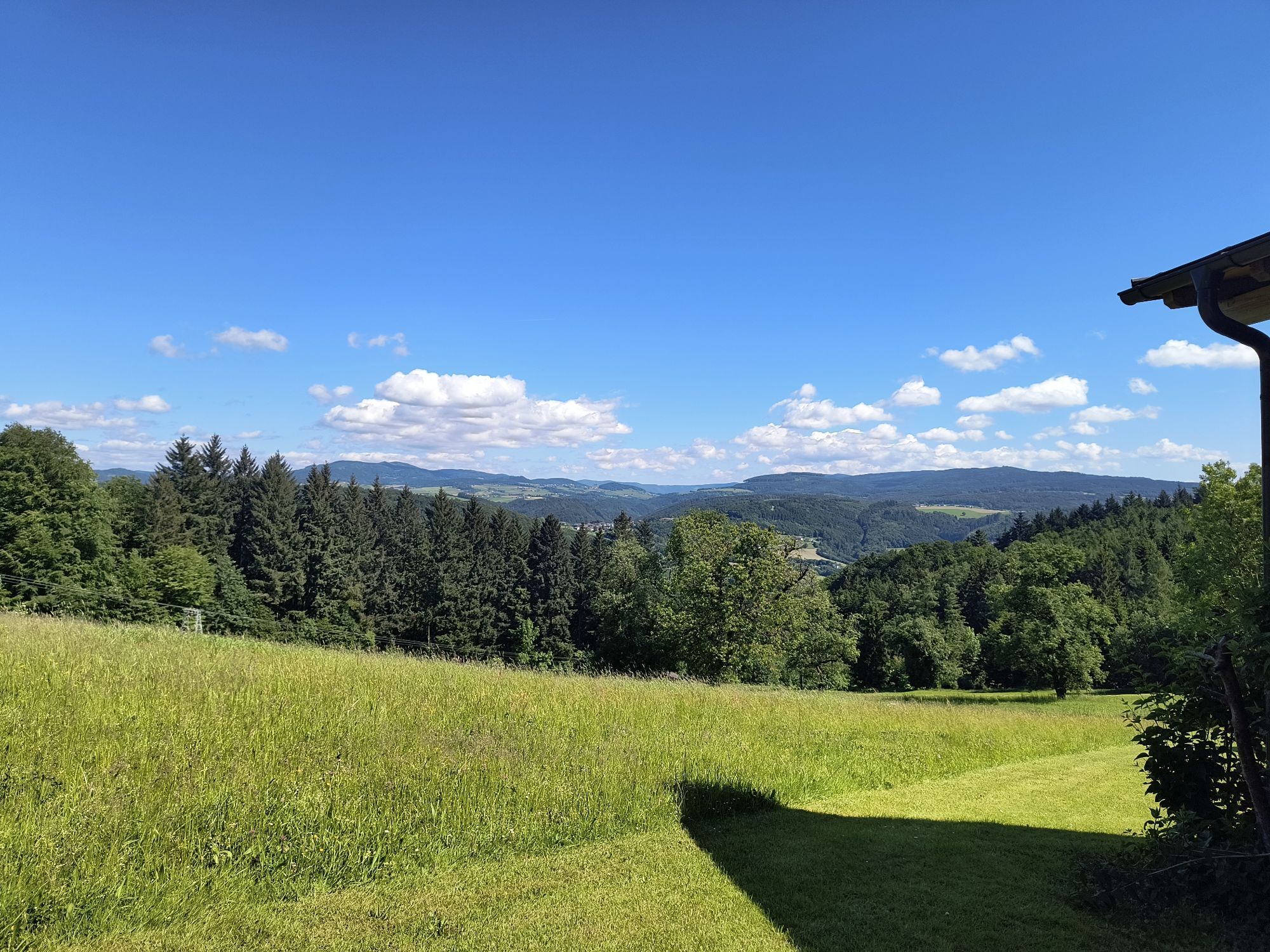
From Maria Taferl, the route leads downhill via the large staircase and through beautiful deciduous forests to the banks of the Danube in Marbach. Once you reach the town center, take a detour to the baroque parish church of St. Martin at the foot of the Calvary and then continue along the banks of the Danube. After a while, you will see Säusenstein Abbey on the left and the parish church of St. Peter and Paul in Gottsdorf on the right. From Gottsdorf, the trail leads past the cemetery across meadows and fields into the center of Persenbeug. Here you will find the late Gothic Floriani Chapel and Persenbeug Castle, a multi-winged building on a high rock with a west-facing chapel. If you still have energy left, you can visit the town of Ybbs on the opposite side of the Danube, whose pretty town center is home to the parish church of St. Lawrence, built in 1521. Now the "mountain stage" of this pilgrimage route begins with the ascent towards Marienhöhe, initially mostly on forest paths, later over meadows and fields, covering around 300 meters in altitude until you reach the highest point of this stage, the Hengstberg. From Hengstberg, the route continues via the Lueger Chapel to Berghof and over the hills of the Mostviertel region to the market town of Neustadtl an der Donau, situated on a high plateau in the Bohemian Massif. In Neustadtl, there is a themed trail ("The journey is the destination") especially for pilgrims, with 13 different stations providing information about pilgrimage. The starting point for this themed trail is the Jakobskirche church in Neustadtl, a simple late Gothic hall church from the beginning of the 16th century.

From the square in front of the pilgrimage basilica, you go down the large staircase to the street, cross it and follow the "penance path" to Marbach. At the ferry dock, cross the B 3 road, keep right and follow the Danube cycle path westward. In Gottsdorf, turn right before the church, pass the old school, then turn left at the intersection and immediately right past the cemetery. After crossing the industrial road, you reach a field path leading to Persenbeug. There, you pass the town hall square with the old parish church. Along Schlossstraße, you get to the Danube bridge, over which you cross to the right bank of the Danube to Ybbs. Then follow the Danube cycle path towards Mauthausen and turn left onto the long-distance hiking trail 08. Follow this partly on forest and meadow paths, partly along the Most heights road Hengstberg, passing the forester's house and the Hengstberg ski hut to the highest point of this stage at the foot of the Hengstberg with a beautiful view. Always following the markings of the long-distance hiking trail 08, you reach the hamlet of Winthan, the Lueger Chapel and further on to Neustadtl. Shortly before that, you meet the Jakobs theme path. Here, continue straight towards the town center (do not follow the theme path markings to the right!).
Maria Taferl is located in Lower Austria, halfway between Vienna and Linz and is accessible via the West Motorway (exit 90 - Pöchlarn). In Pöchlarn, you cross the Danube and then turn left. After Klein-Pöchlarn, you go right up the hill towards Maria Taferl.
From Amstetten or St. Pölten you can take the regional express to Pöchlarn, from where a post bus (NG1) goes to Maria Taferl. Station "Maria Taferl Ortsmitte".
Parking is available in the town center of Maria Taferl (east of the basilica).
Mostviertel Tourismus GmbH
Töpper Schloss Neubruck, Neubruck 2/10, 3270 Scheibbs
T +43/7482/20 444
info@mostviertel.at , www.mostviertel.at
Sonntagberg Pilgrimage and Pilgrimage Center
Tel.: +43 (0)7448/215 72
sonntagberg@stift-seitenstetten.at
www.sonntagberg.com
Useful maps:
ÖK 4322 Pöchlarn, ÖK 4327 Amstetten, ÖK 4328 Scheibbs,
ÖK 4203 Waidhofen, ÖK 4204 Lunz
All at scale 1:50,000 (also available enlarged 1:25,000)
F&B Hiking Maps 052 Mostviertel (1:50,000),
Kompass Hiking Guide 1085 Jakobsweg
Important phone numbers:
Alpine emergency call: 140, International emergency call: 112
Recommended literature:
Hiking guide Jakobsweg Austria, www.kompass.at
On the Jakobsweg through Austria, www.tyrolia-verlag.at
Pilgrim paths, www.kral-verlag.at
Sonntagberg, www.volkskulturnoe.at
Popularne wycieczki w okolicy
-
4,6
Waldhausen: Outlook circuit
średniWędrówka 14,0 km -
4,9
Stillensteinklamm, Grein
światłoWędrówka 10,4 km -
4,5
Ausgedehnte Peilsteinrunde
średniWędrówka 13,7 km -
4,5
Purgstall Route 3 entlang der Erlauf und Umgebung
światłoWędrówka 12,5 km -
4,5
Gobelwarte-Runde, Grein
średniWędrówka 8 km -
4,4
Durch die Steinwandklamm von Maria Taferl aus
światłoWędrówka 8,26 km -
4,4
Gobelwarte - Grein, Oberösterreich
średniWędrówka 5,41 km -
4,6
Brandstetterkogel über Matras Steig
światłoWędrówka 6,28 km -
4,9
Stillensteinklamm Rundweg über Struden
światłoWędrówka 12,6 km -
4,9
LAIMBACH Ostrong Peilstein 20220716
średniWędrówka 7,70 km
Wędrówki i tropienie


Nie przegap ofert i inspiracji na następne wakacje
Twój adres e-mail została dodana do listy mailingowej.