







Mank Pilgrimage Path
A pilgrimage to Mank
Today's plague comes out of the exhaust pipe. But if you go on a pilgrimage to Mank on foot, you are not spreading the plague, even though you are on a medieval pilgrimage against it....
A pilgrimage to Mank
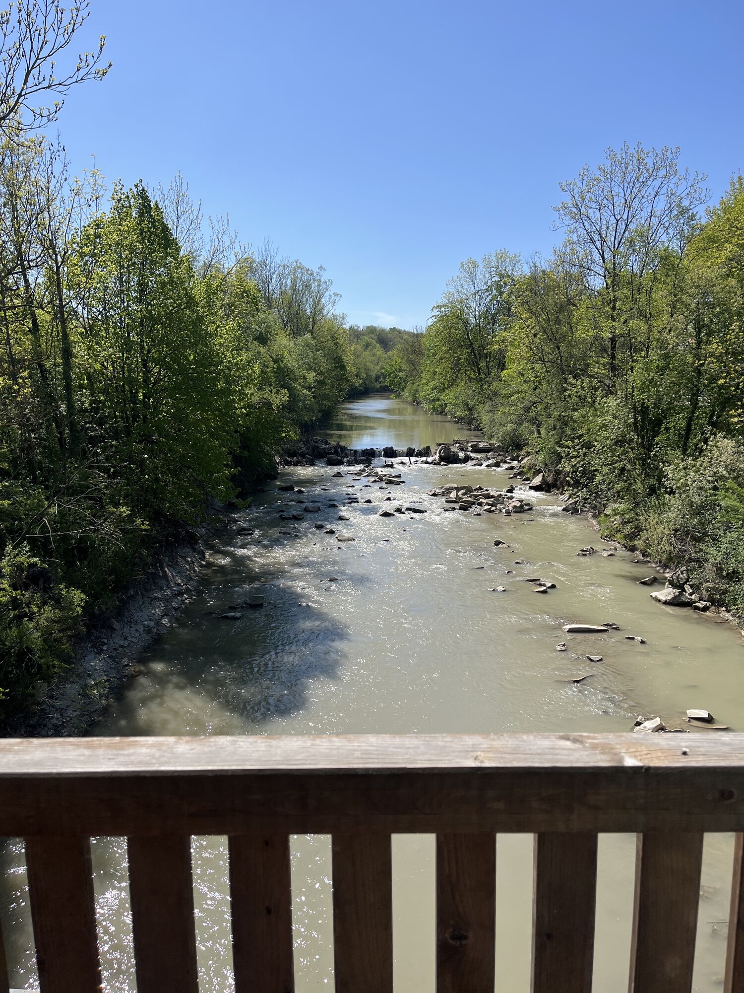
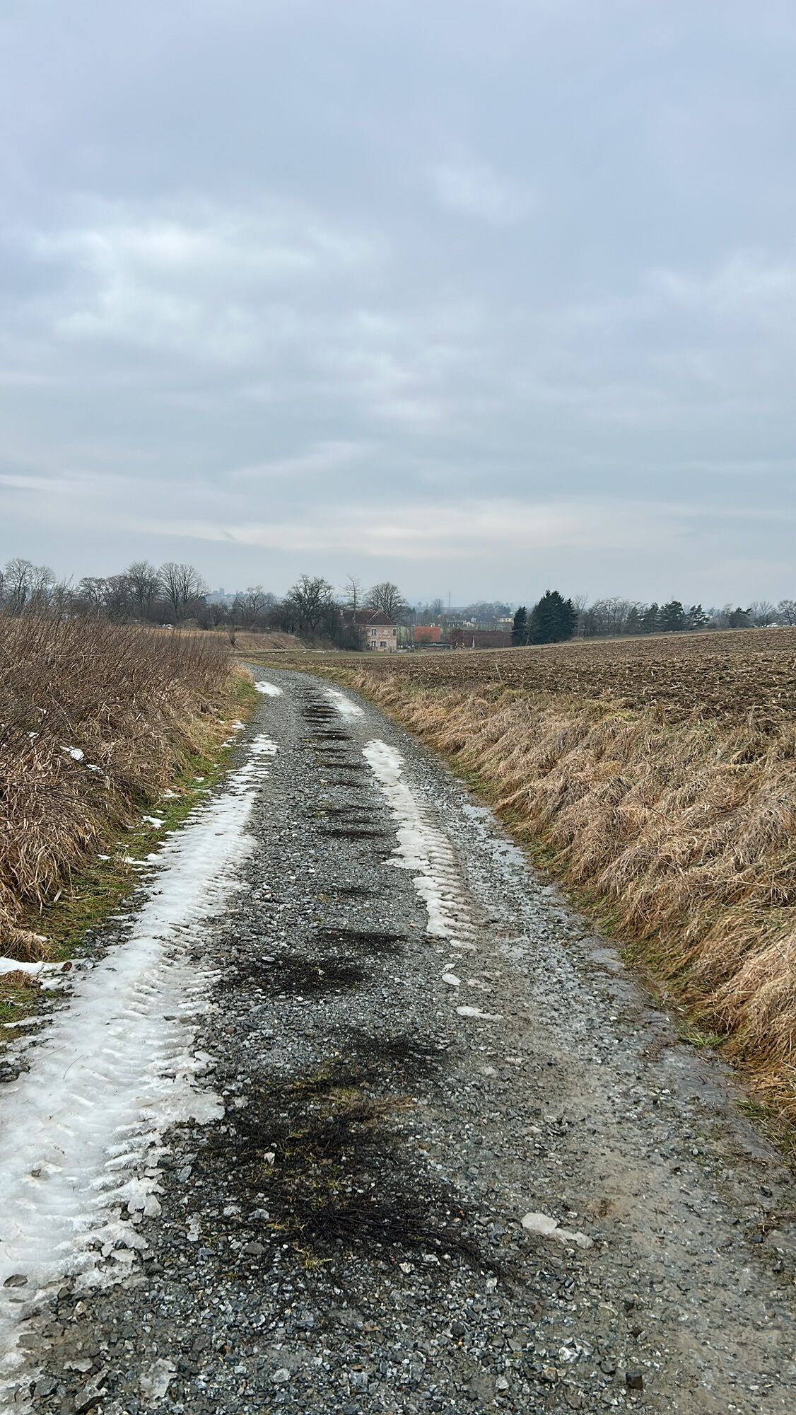
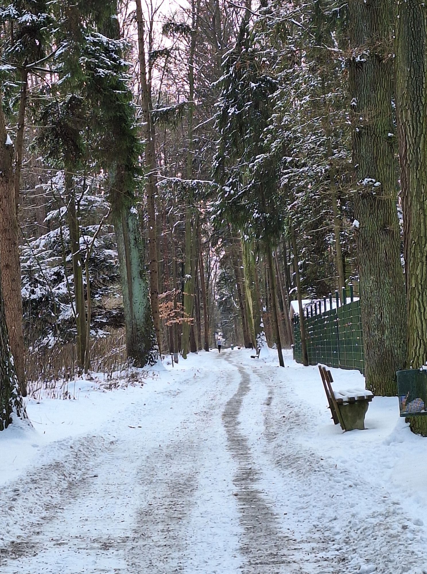
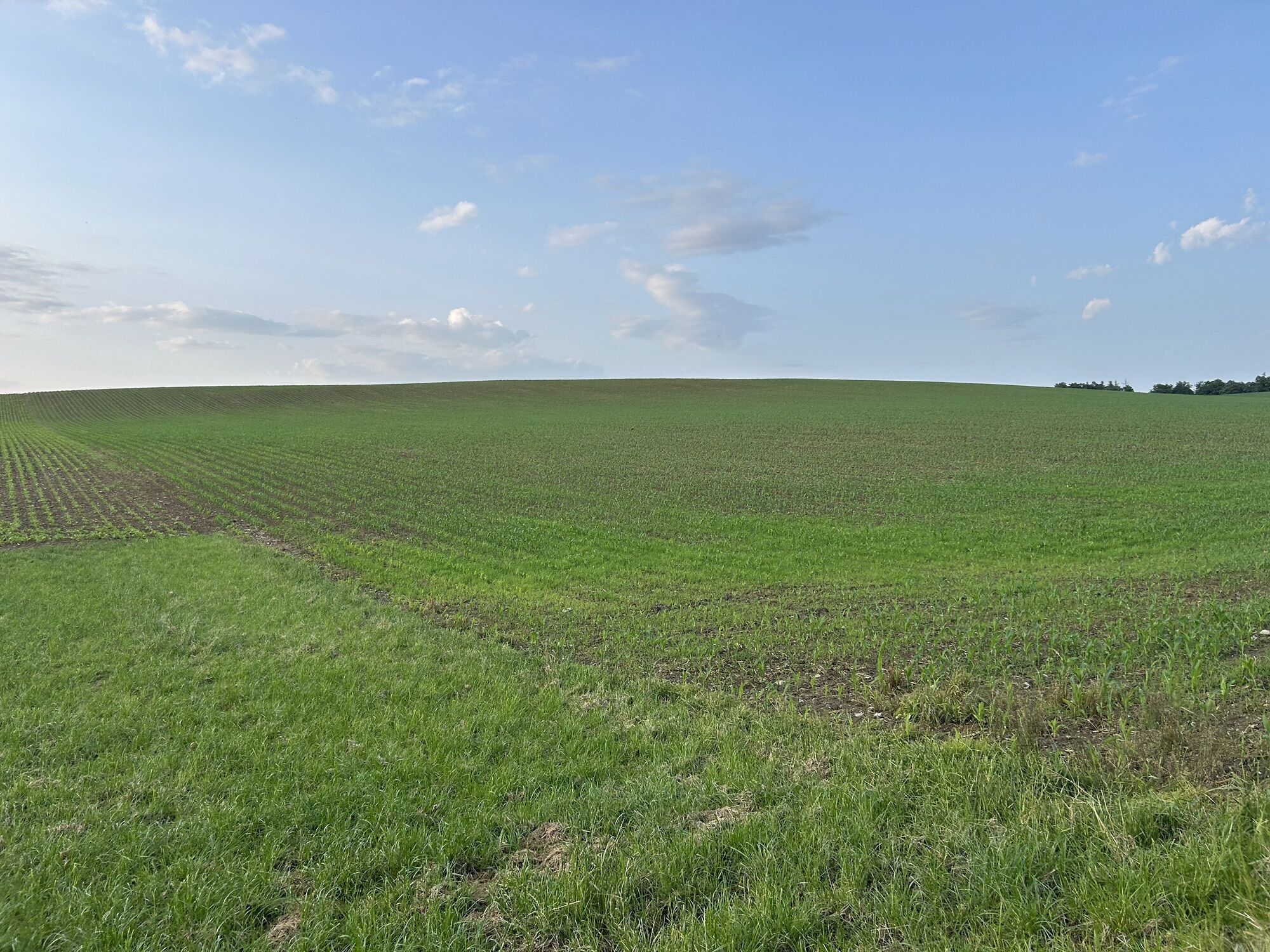
Today's plague comes out of the exhaust pipe. But if you go on a pilgrimage to Mank on foot, you are not spreading the plague, even though you are on a medieval pilgrimage against it. Pastors advised the people of St. Pöltern in times of plague to make a pilgrimage to "Mank am grünen Anger" to beg for help. This gave rise to an old connection between St. Pölten and Mank, which is also expressed elsewhere today: in the "Sweet Corner", a confectionery here and there. The 43.5-metre-high church tower of Mank with its unconventional onion dome can be seen from afar. Construction of the three-nave hall church began around 1400. The largest bell is called Herz Jesu and weighs 1,675 kilos.


Cathedral St. Pölten - Town Hall - Hafinger Way - Teufelhof - Schwadorf - Matzersdorf to the Pielach - Ebersdorf - Feilendorf - Saudorf - St. Margarethen - Unterradl - Schlatzendorf - Scharagraben - Kälberhart - Loipersdorf (stone Snake Cross, donated by St. Pölten) - Mank.
The route follows marking 455 up to the Farthof in the Pielach valley and partially runs on the Roman road (651) from St. Margarethen to Mank.
To St. Pölten by Westbahn or via the A1.
Westbahn, ÖBB
Park & Ride (behind the station)
Restaurants in Teufelhof, Nadelbach, at the Ebersdorf Lake, St. Margarethen, and Mank.
Tourism Information St. Pölten
Tel. 02742/353 354
Mostviertel Tourism
Töpperschloss Neubruck
Neubruck 2/10, 3283 Scheibbs
T +43/7482/204 44
info@mostviertel.at
www.mostviertel.at
Enjoy the return trip to St. Pölten with the narrow-gauge railway "Krump'n" – better known as "the most beautiful track through the Alpine foothills".
Popularne wycieczki w okolicy
-
4,4
Kaiserkogel mit Start und Ziel in Eschenau
światłoWędrówka 10,2 km -
4,5
Rundweg Ochsenburgerhütte
światłoWędrówka 7,60 km -
4,7
Kaiserkogel
światłoWędrówka 6,03 km -
4,7
Rudolfshöhe drei Galgenweg Wilhelmsburg, Österreich
światłoWędrówka 8,04 km -
4,6
Spitzmauer und Geisbühel von Tradigist aus
światłoWędrówka 7 km -
4,0
Geisbühel-Runde
światłoWędrówka 13 km -
4,7
Gaisbühel über Jubiläumsweg
światłoWędrówka 12,0 km -
4,4
Hiesberg Gipfelkreuz Rundweg
światłoWędrówka 7,38 km -
5,0
Gipfelkreuz-Rundwanderweg - Loosdorf
światłoWędrówka 5,45 km -
4,0
Welterbesteig Wachau 09: Melk-Aggsbach Dorf
światłodługodystansowy szlak pieszy 16,9 km
Wędrówki i tropienie


Nie przegap ofert i inspiracji na następne wakacje
Twój adres e-mail została dodana do listy mailingowej.





