







Triestingtal-Helenental MTB-Verbindungsstrecke
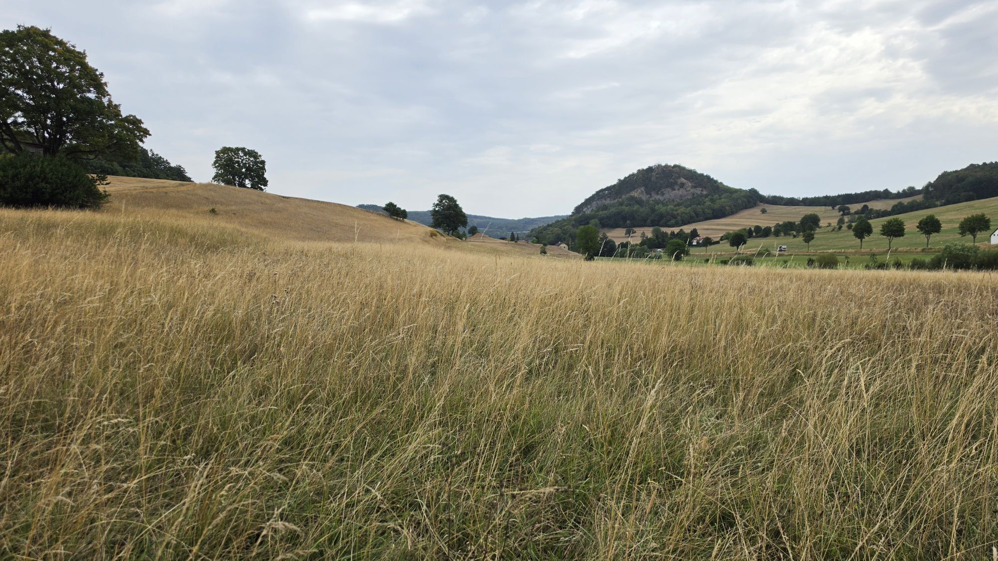
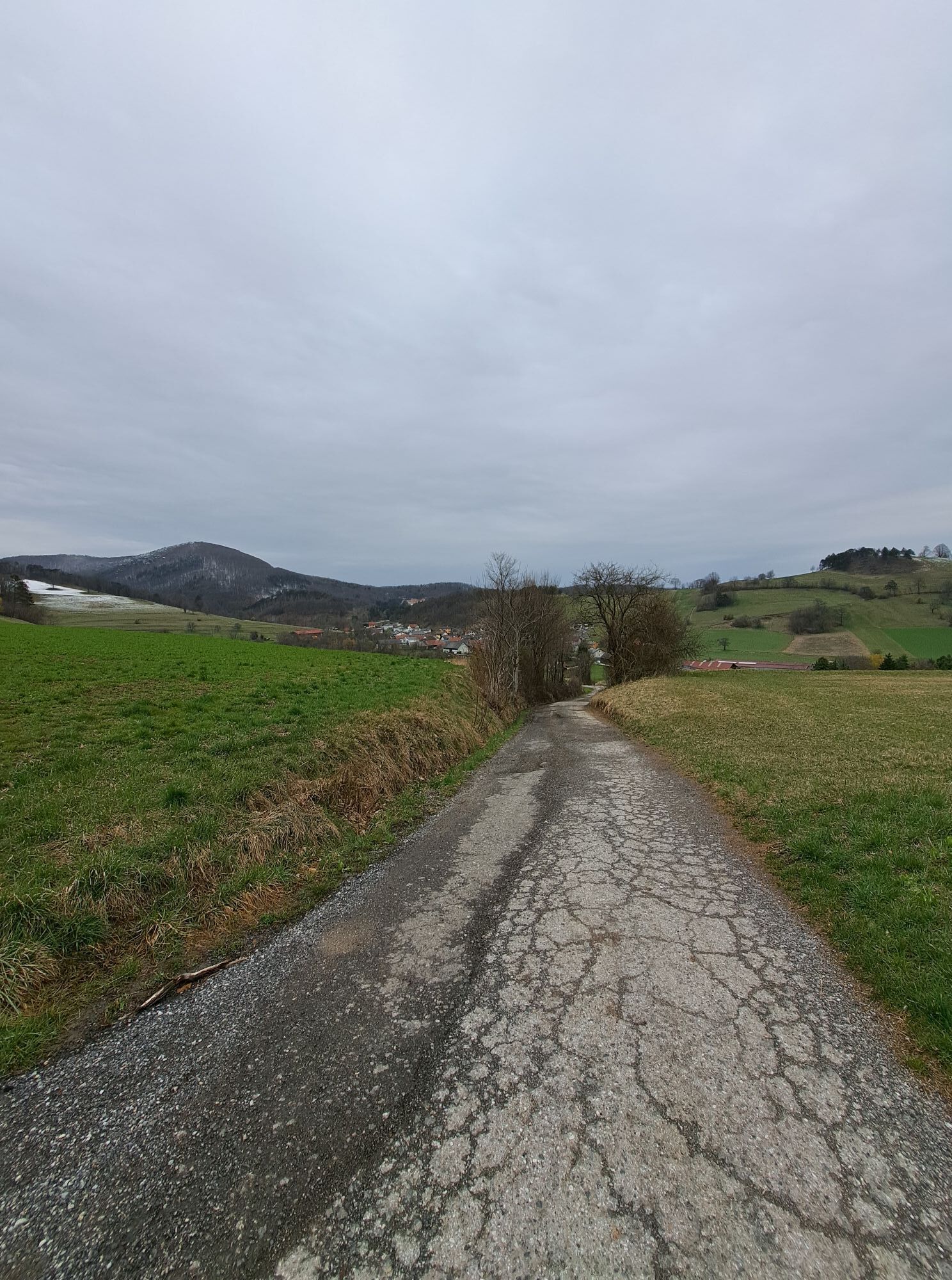
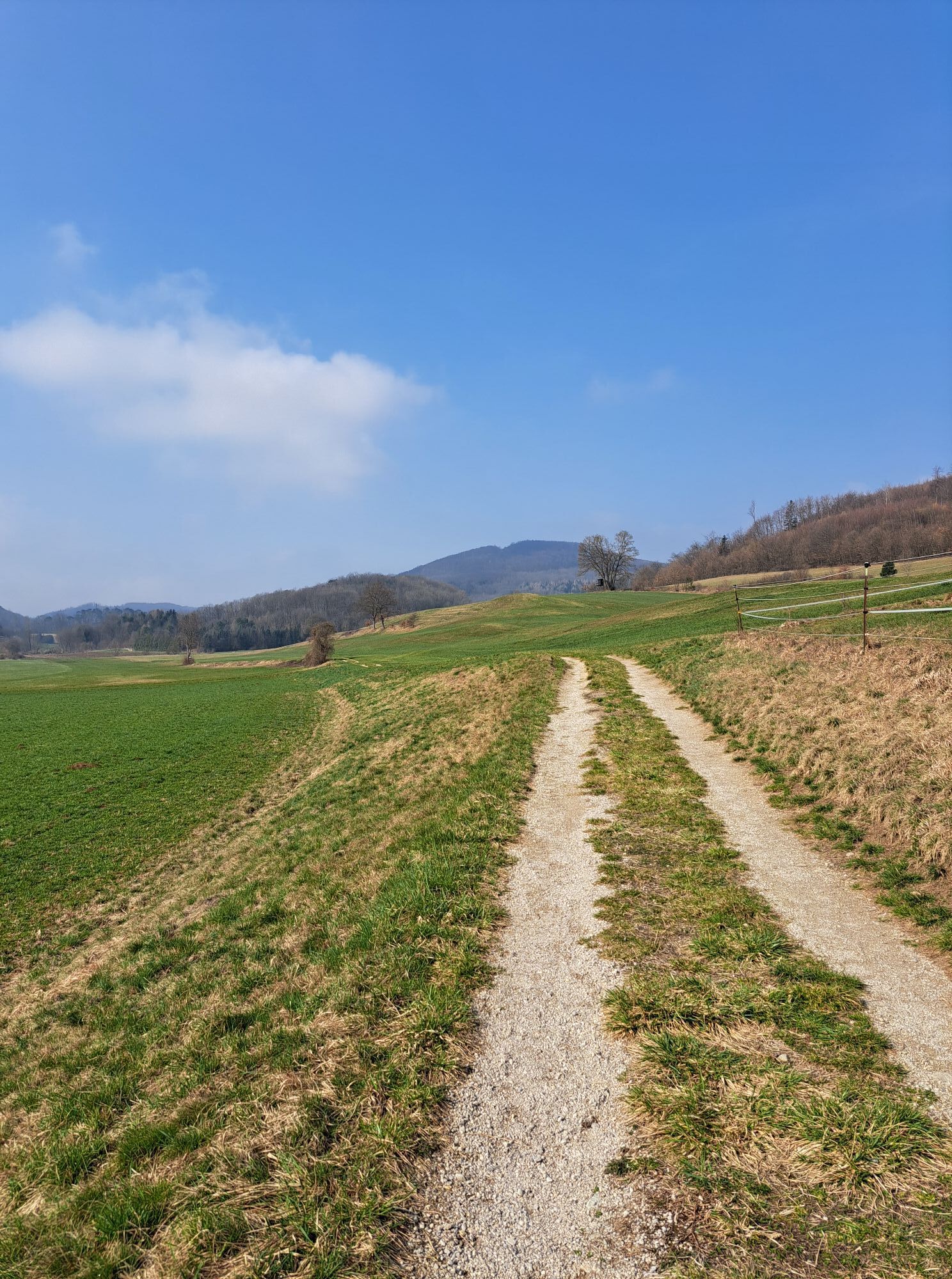
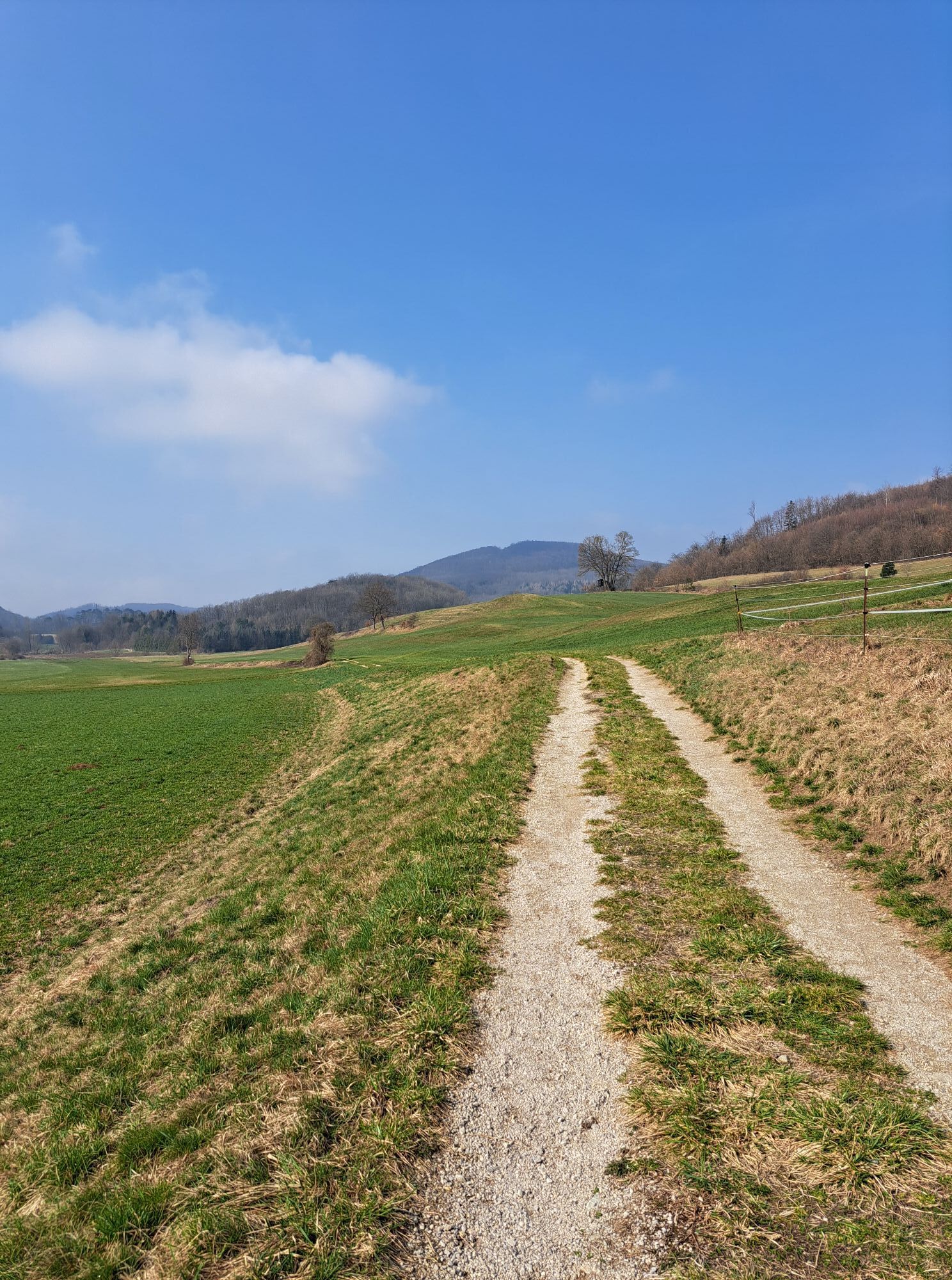
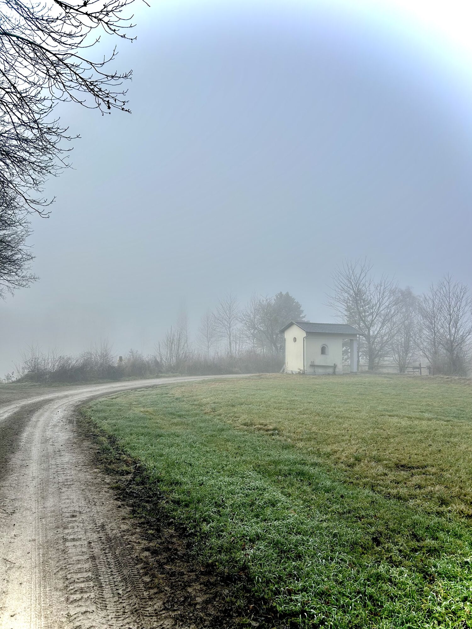
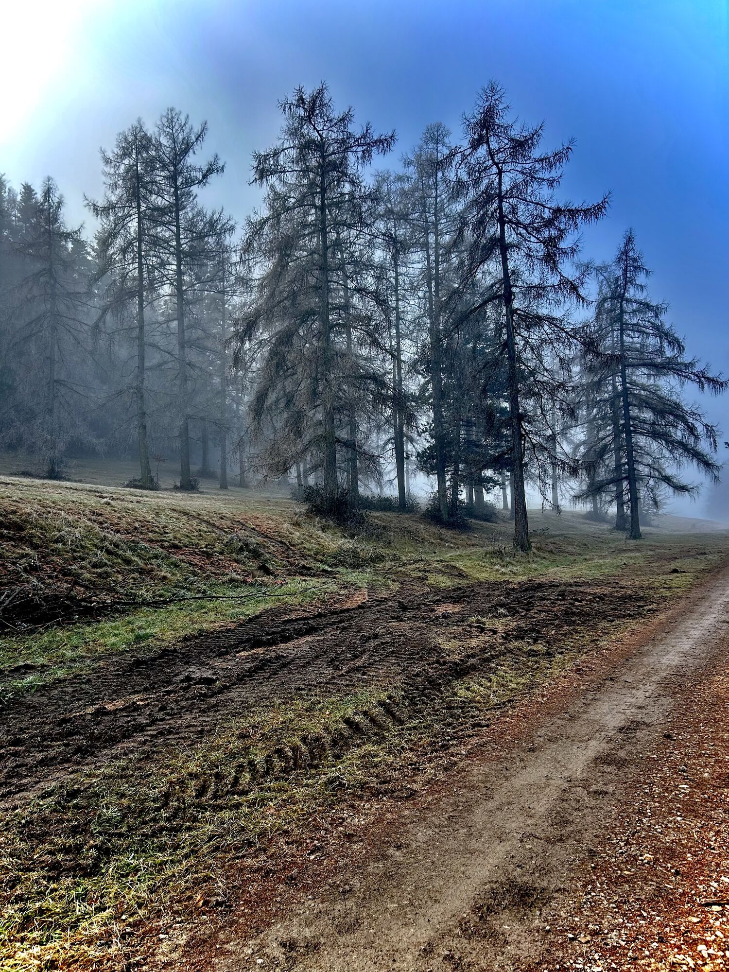
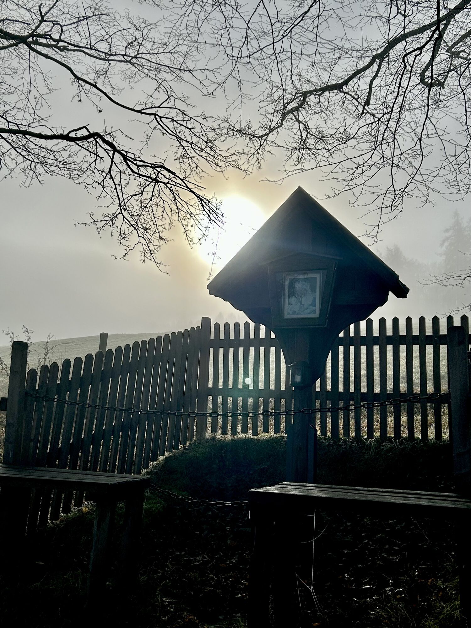
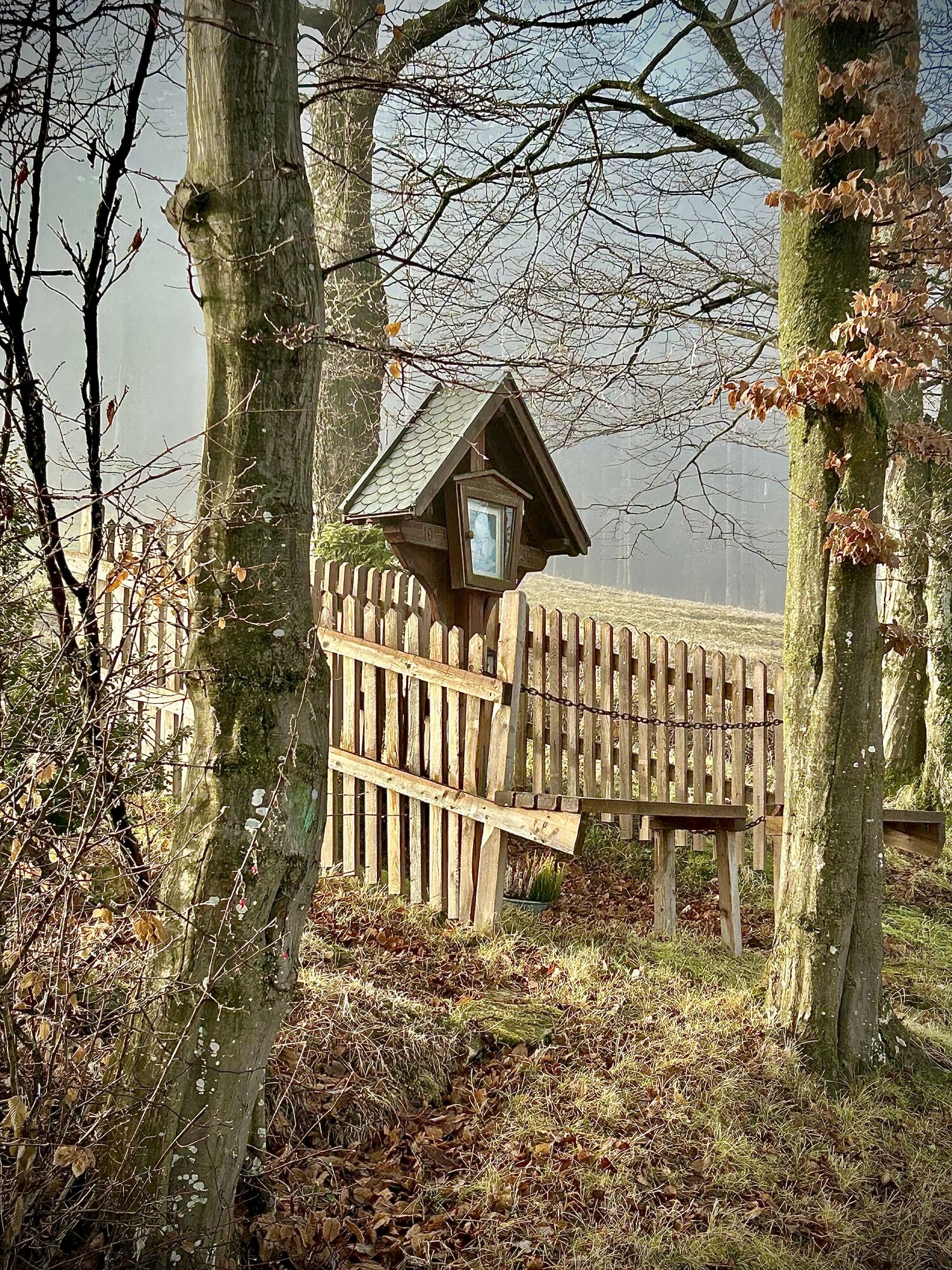
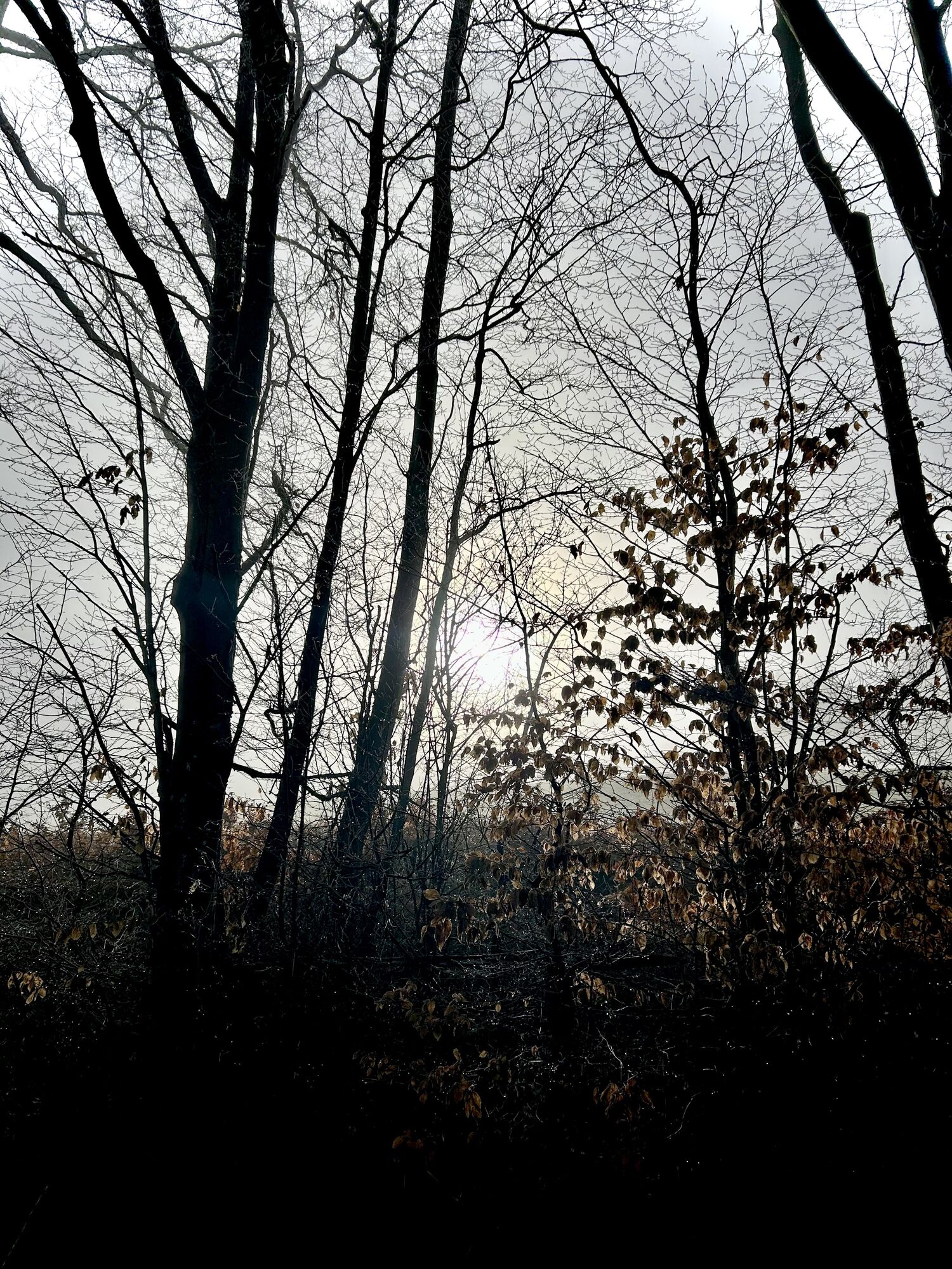
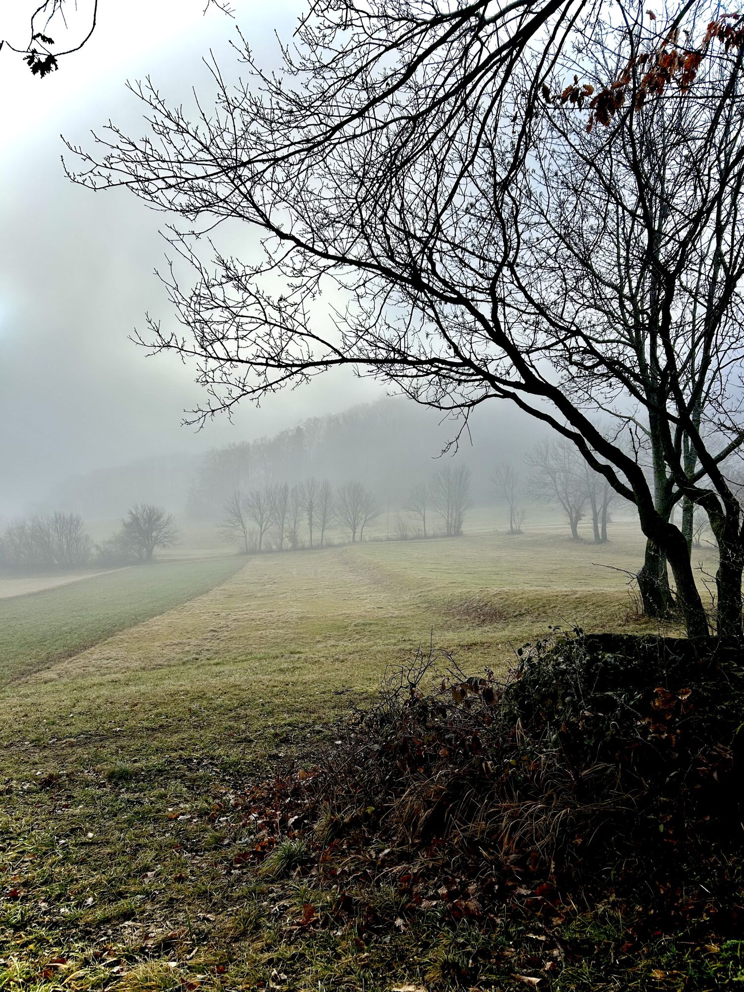
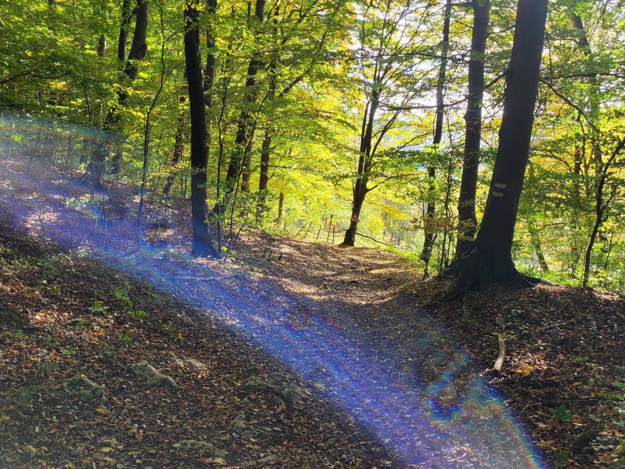
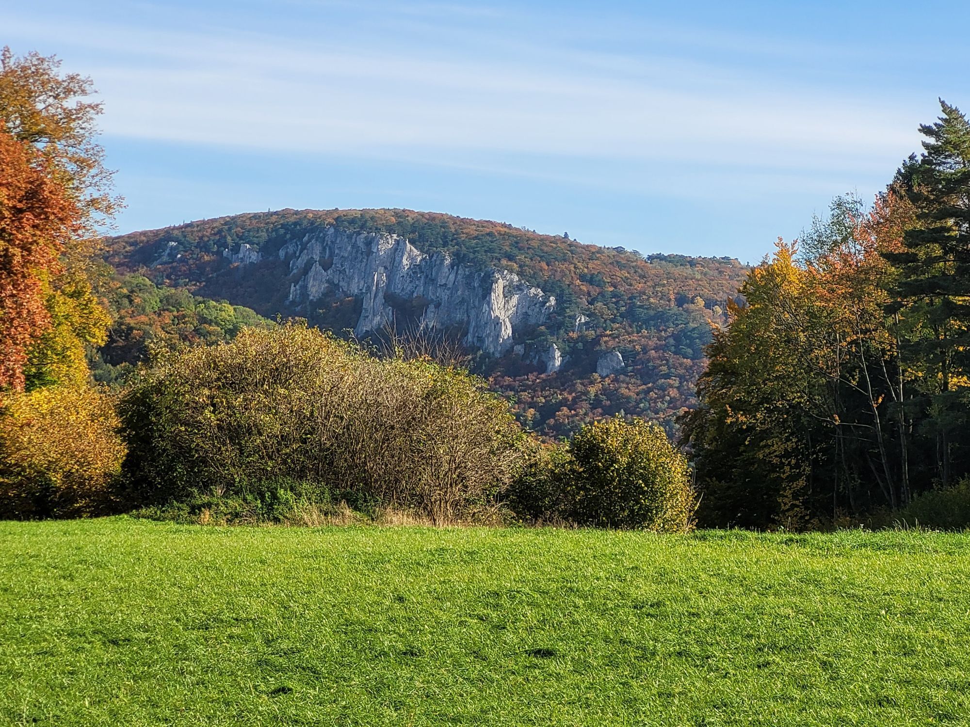
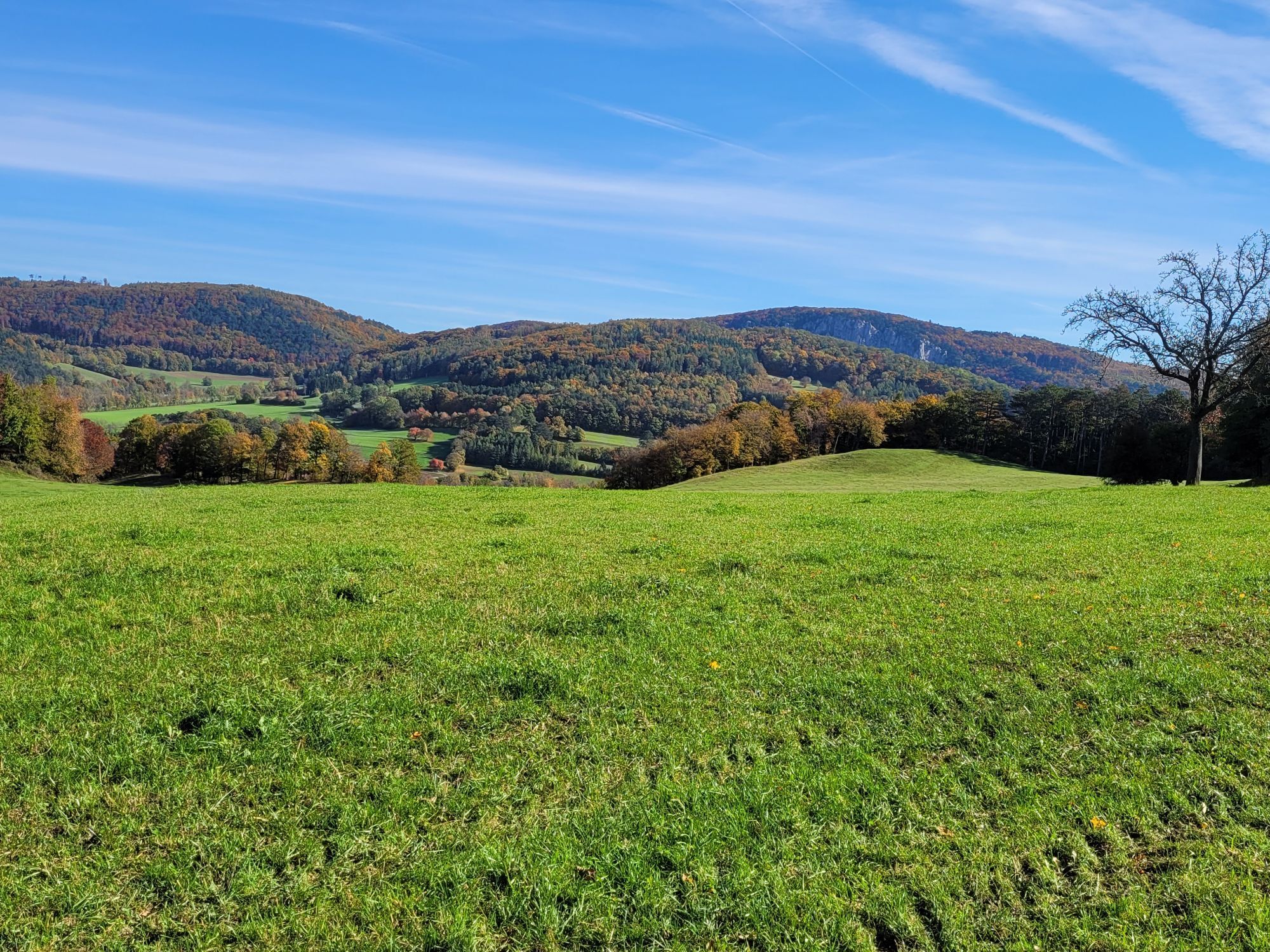
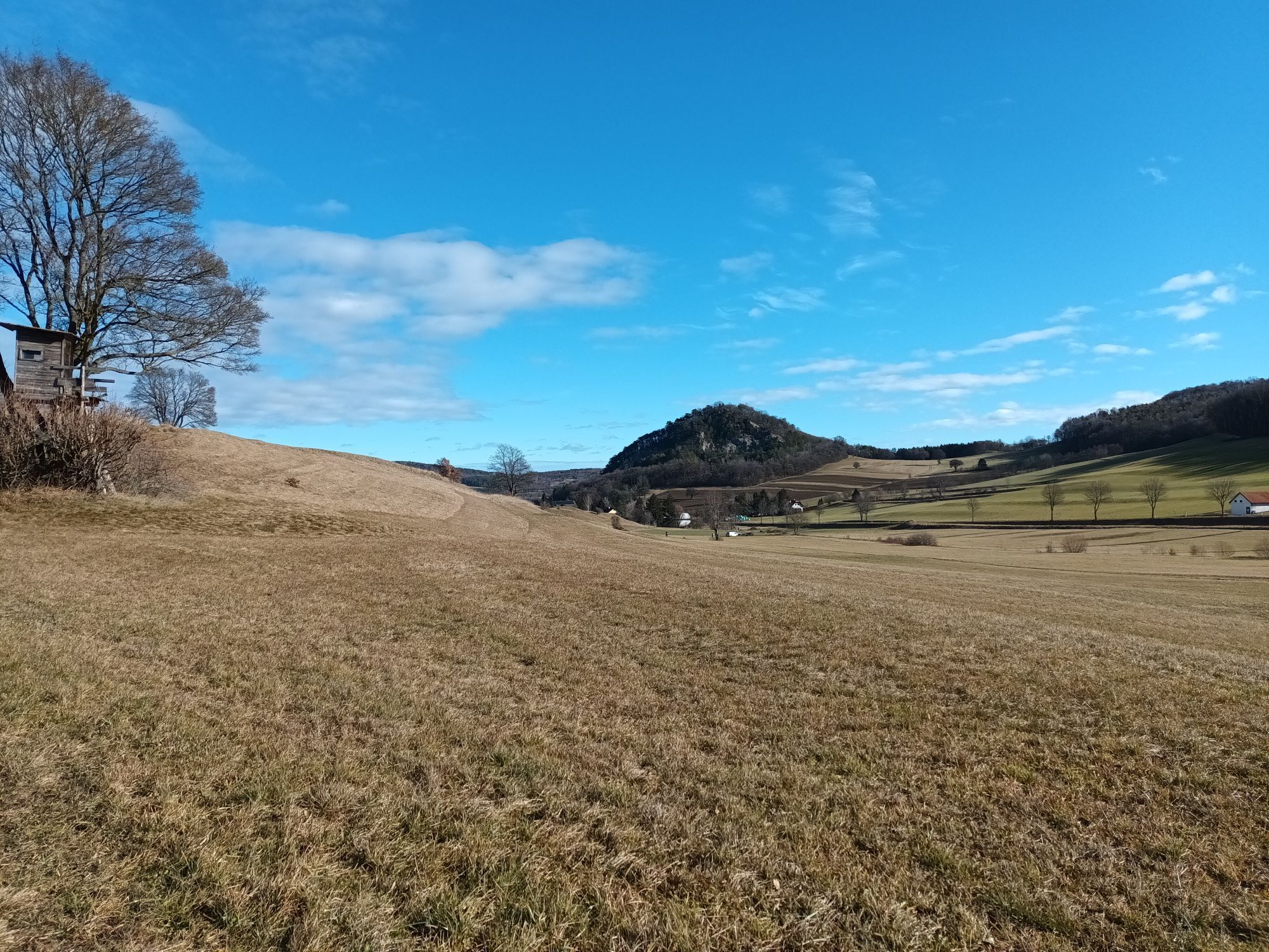
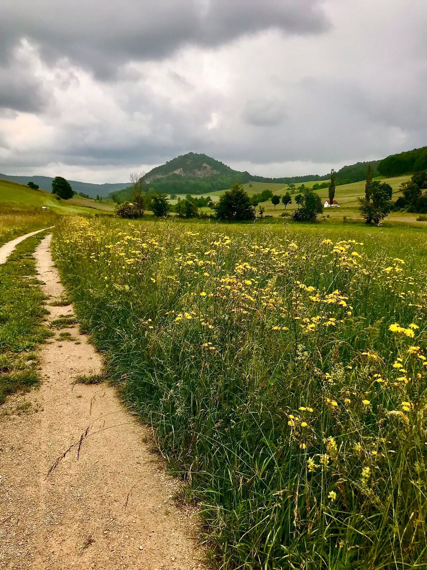
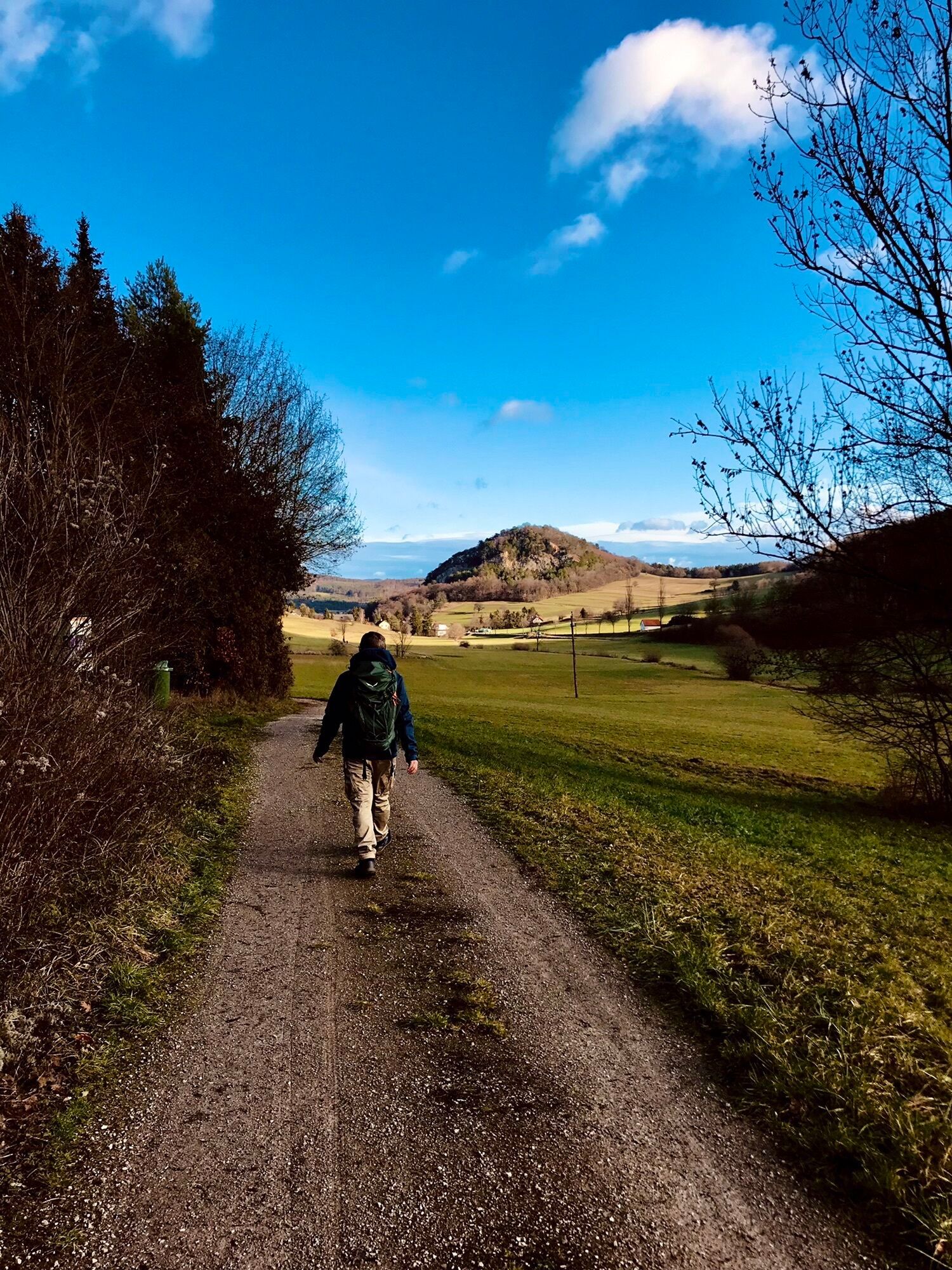
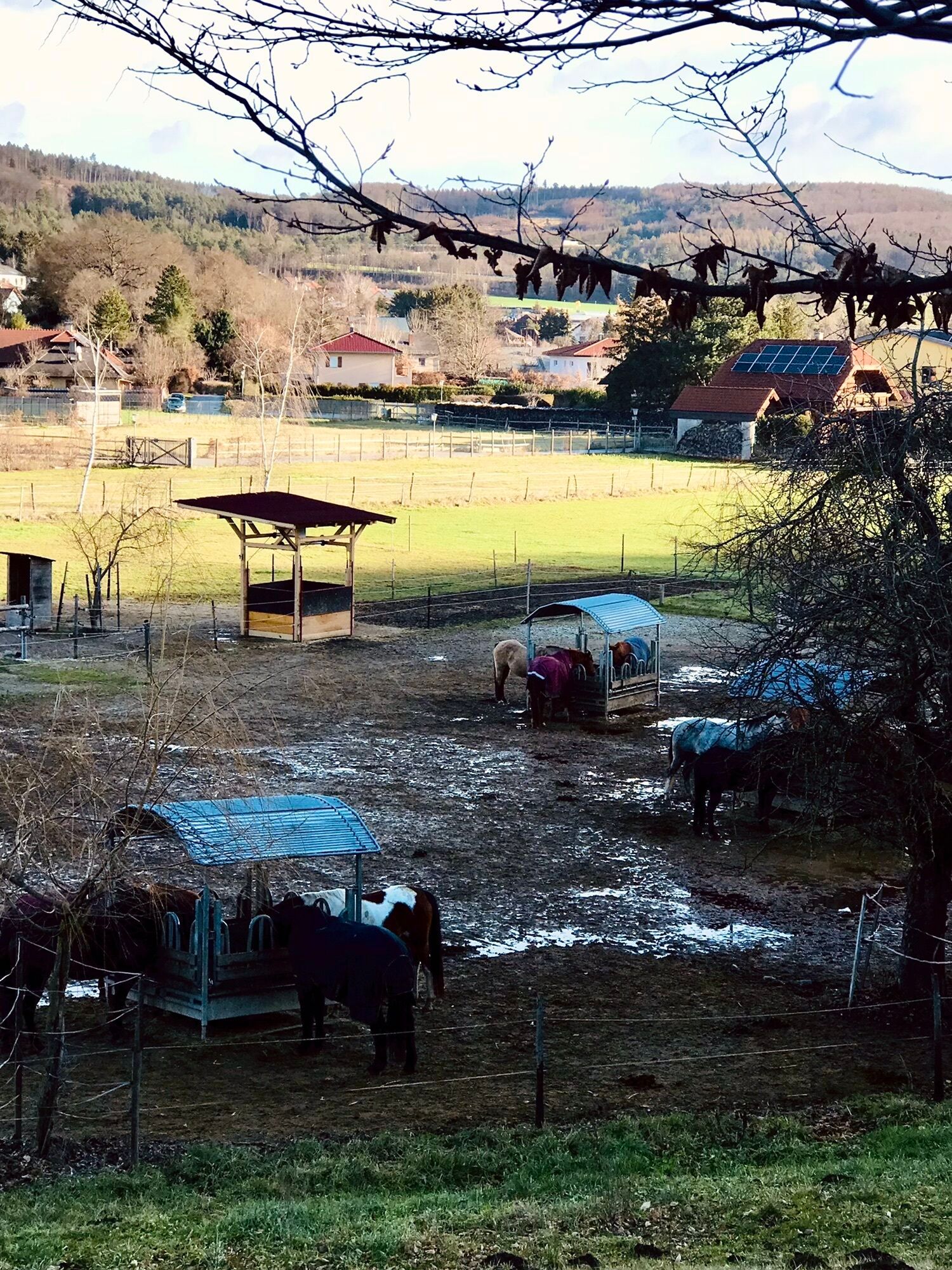
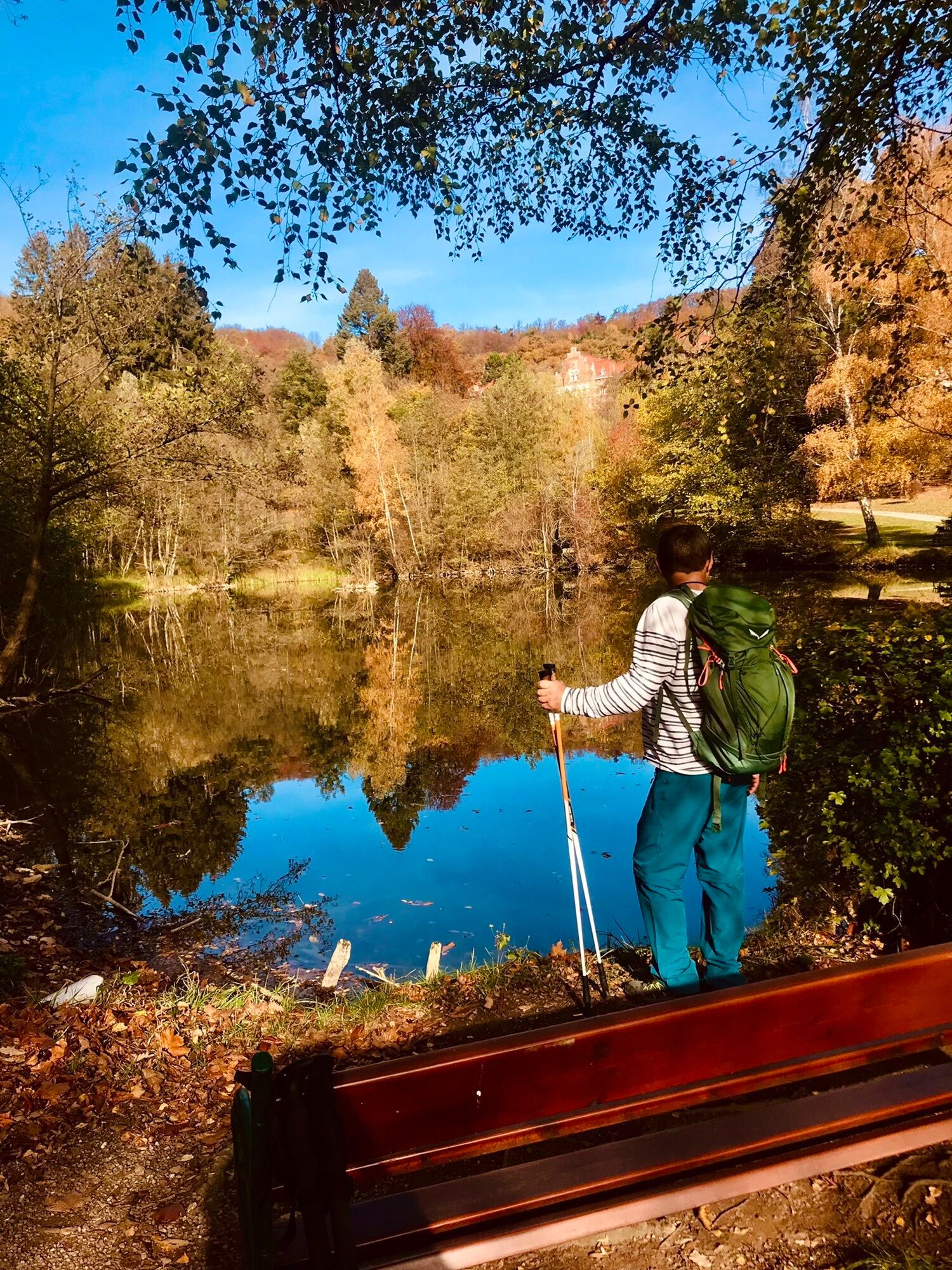
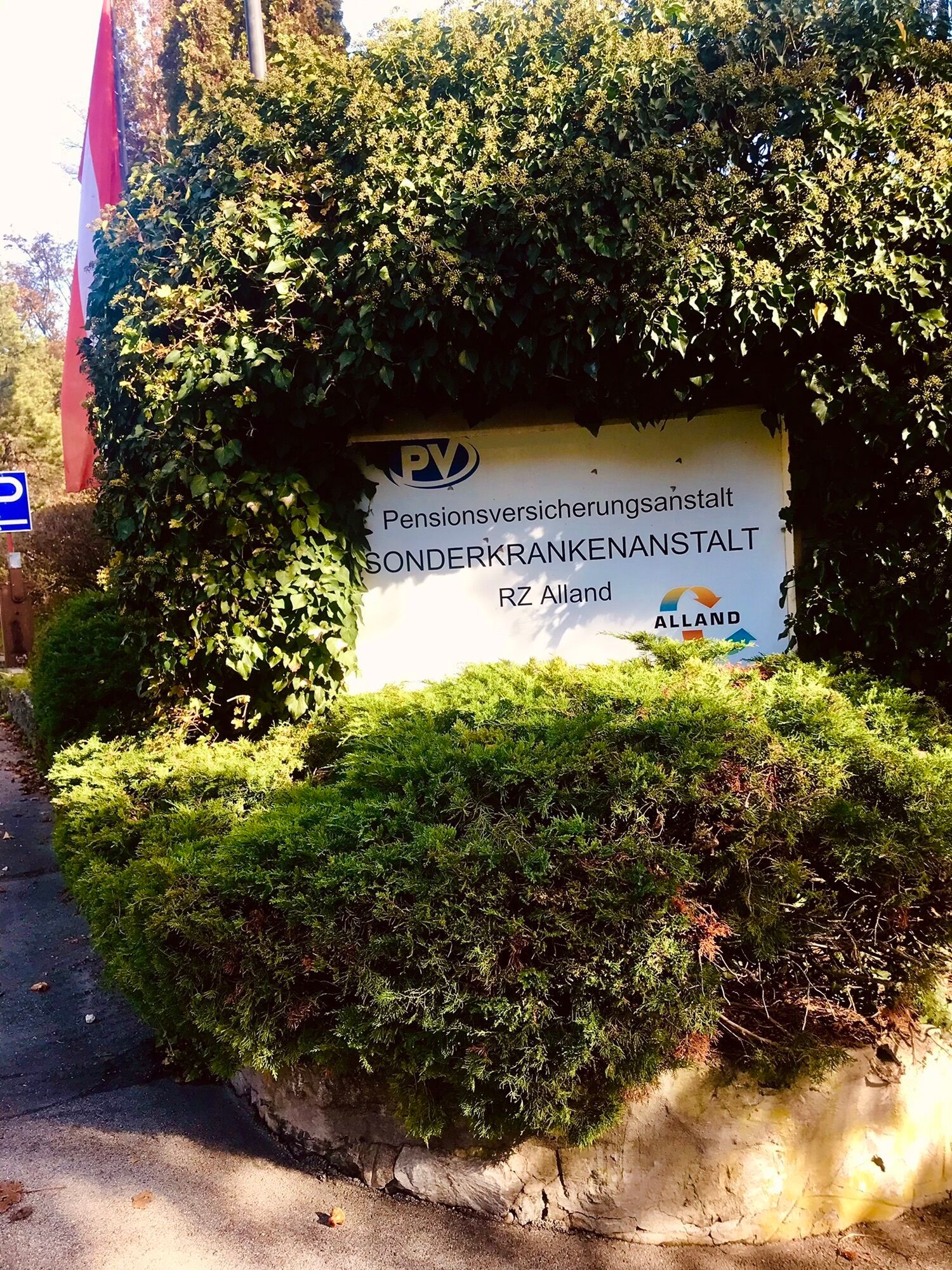
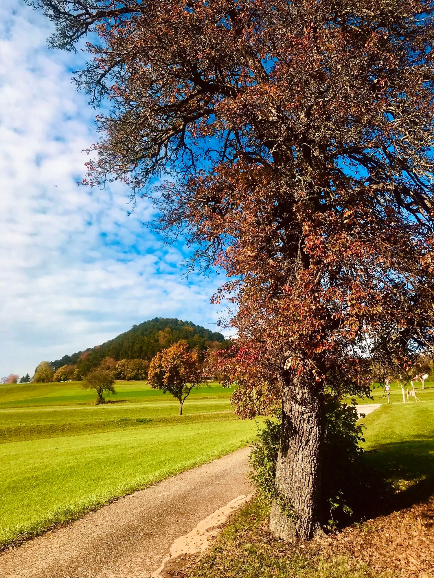
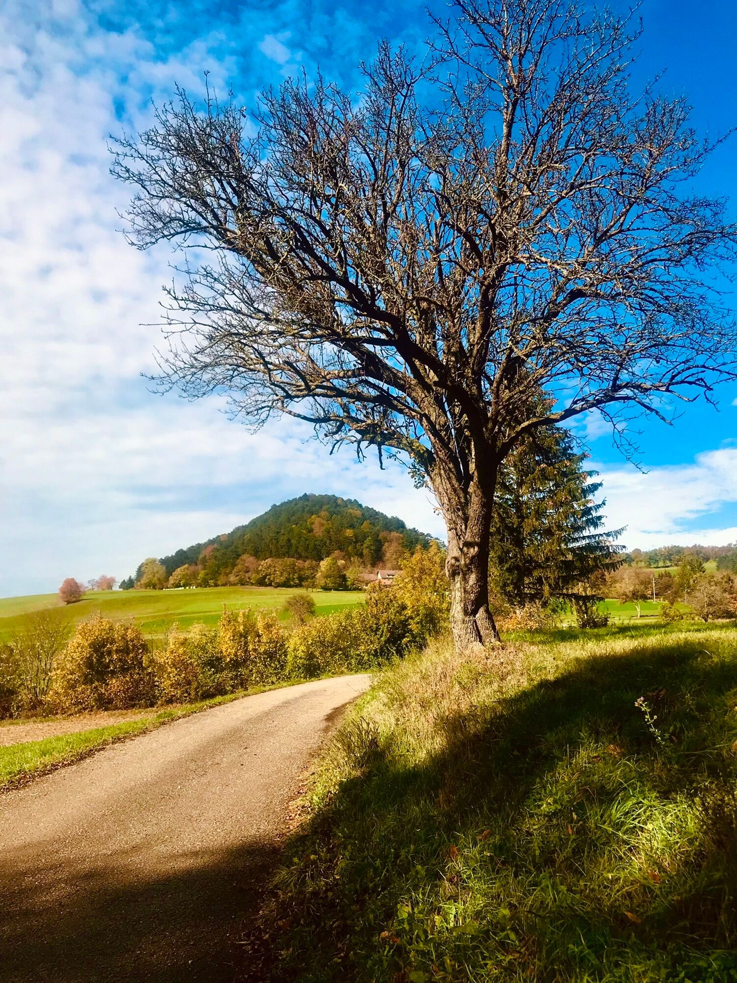
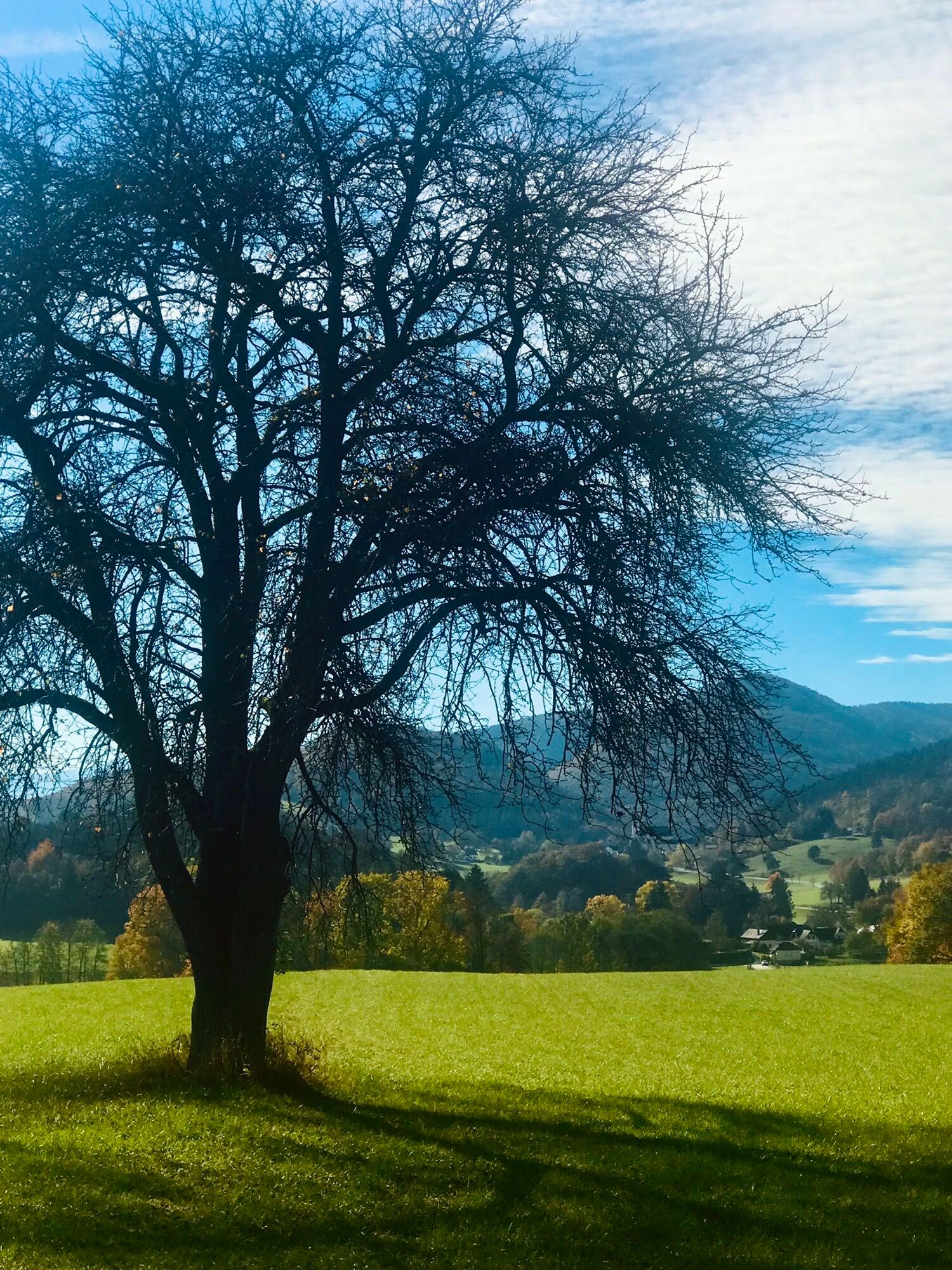

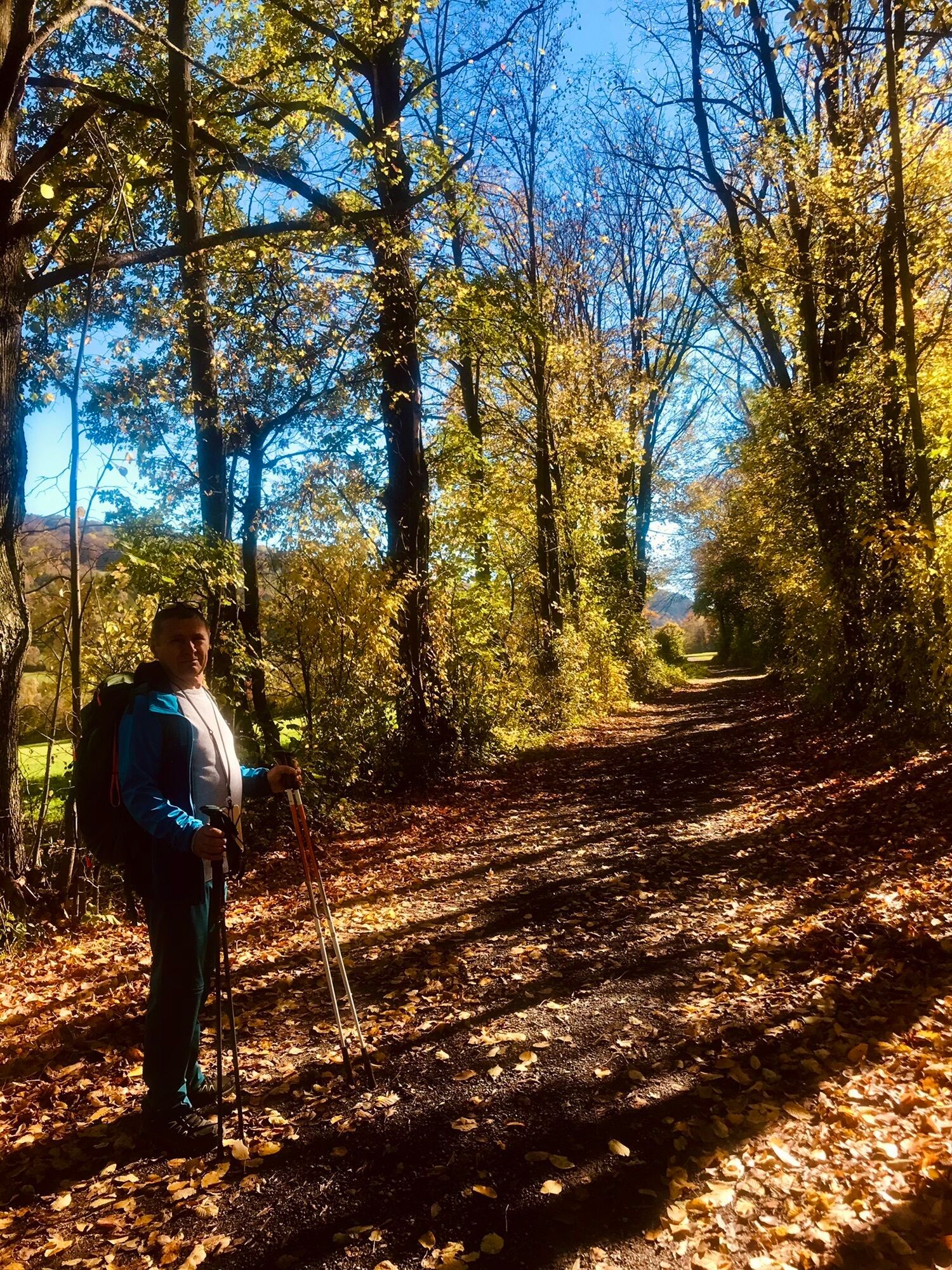
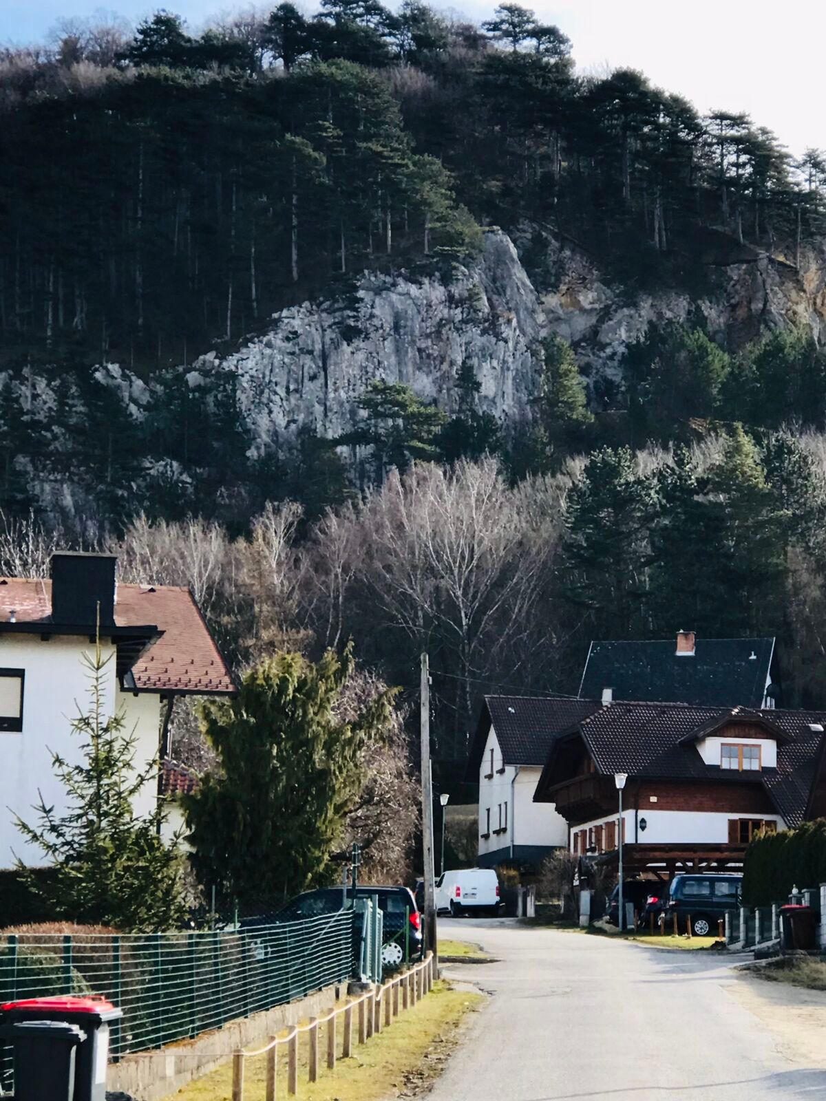

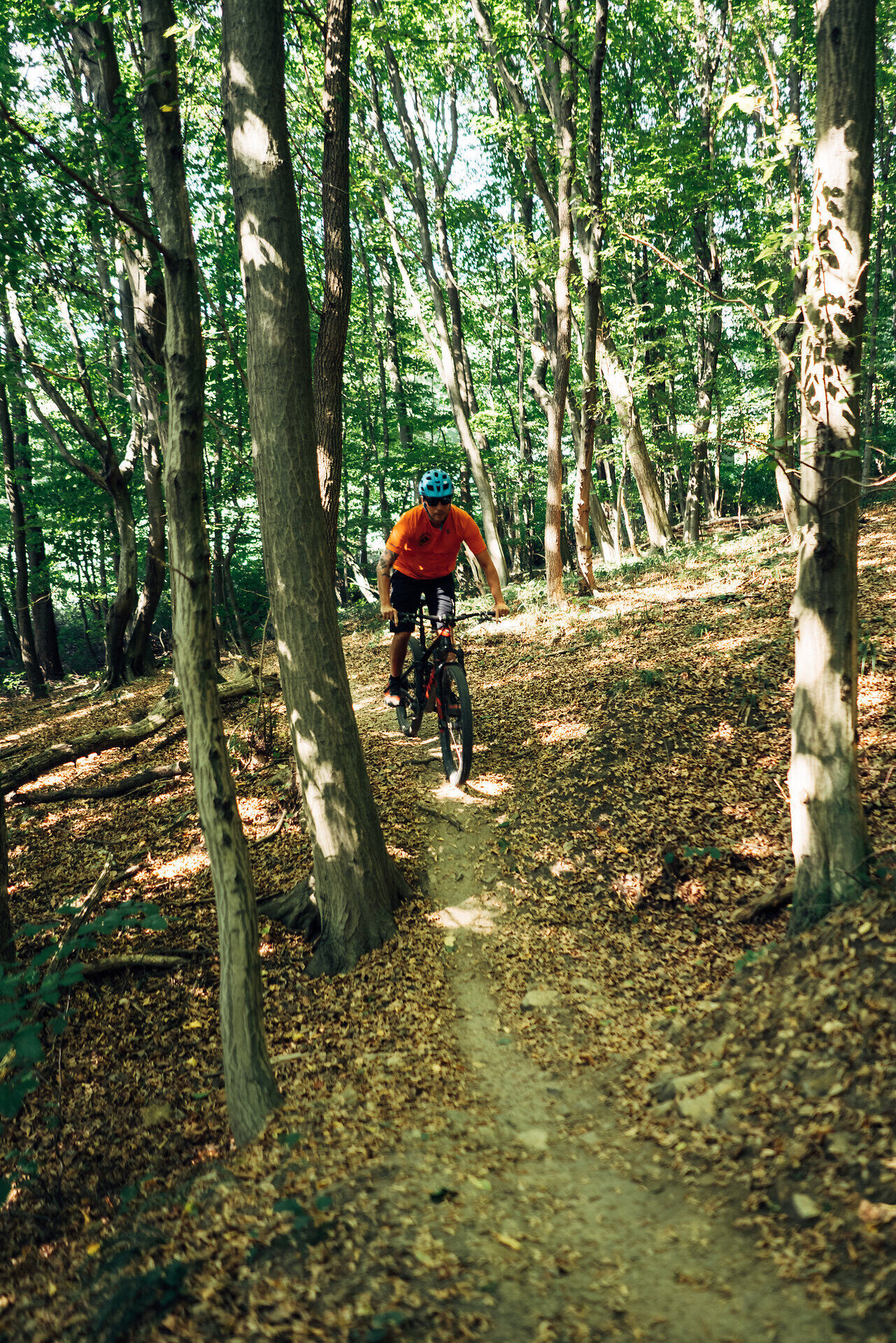

From Altenmarkt an der Triesting, the route first follows the Triesting Gölsental Bike Path to a small pedestrian bridge near Tasshof (note: you’ll need to push your bike across the bridge). After a very short stretch on the state road, the route continues up a narrow shared trail to Hafnerberg. On this section, extra caution and consideration for horseback riders is required. From Hafnerberg, the route descends partly along dirt roads to the Nöstachbach stream. After crossing the state road, the route continues along farm roads to Dörfl. There, you’ll need to slow to walking speed briefly due to a vehicle passing through before heading uphill again on farm roads. With beautiful views, the route descends on gravel roads to Groisbach. After a short climb up to the Alland Pension Insurance Institute, the route follows scenic farm roads into Alland and connects to the Helenental Bike Trail. The route can also be ridden in the opposite direction; however, you must ride with particular caution at the service road in Dörfl and on the downhill forest path to Hafnerberg.
Uzyskaj wgląd Zawsze na żywo z ponad 9 500 kamer internetowych. bergfex Jako użytkownik Pro, możesz teraz zobaczyć odpowiednie kamery internetowe dla wielu wycieczek w aplikacji wycieczki od. Pozwala to na bezpośredni podgląd aktualnych warunków. Popularne wycieczki w okolicy
- 4,5
Erlebnisweg Peilstein...auf den Spuren der Kletterer
średniTrasa tematyczna 6 km - 4,7
AUGUSTINERHÜTTE Parkplatz bei B210 Hoher Lindkogel, Langes Tal 20221030
średniWędrówka 8,02 km - 4,7
Kieneck über Enziansteig & Mareschsteig
światłoWędrówka 13,8 km - 4,7
Schöpfl
światłoWędrówka 9,52 km - 4,6
Naturpark Sparbach
światłoWędrówka 7,08 km - 4,6
Angelos Touren: vom Helenental auf den Hohen Lindkogel
średniWędrówka 11,4 km - 4,6
Wienerwald: Maria Raisenmarkt - Peilstein
światłoWędrówka zimą 6,82 km - 4,6
Panorama hike Hafnerberg
światłoWędrówka 8,78 km - 4,5
Kieneck über den Enziansteig
światłoWędrówka 12,6 km - 4,5
Baden Helenental Krainerhütte Cholerakapelle RDW
średniWędrówka 10,1 km

Wędrówki i tropienie


Nie przegap ofert i inspiracji na następne wakacje
Twój adres e-mail została dodana do listy mailingowej.





