



MTB Jauerling - Route 3 - Nonnersdorf Loop



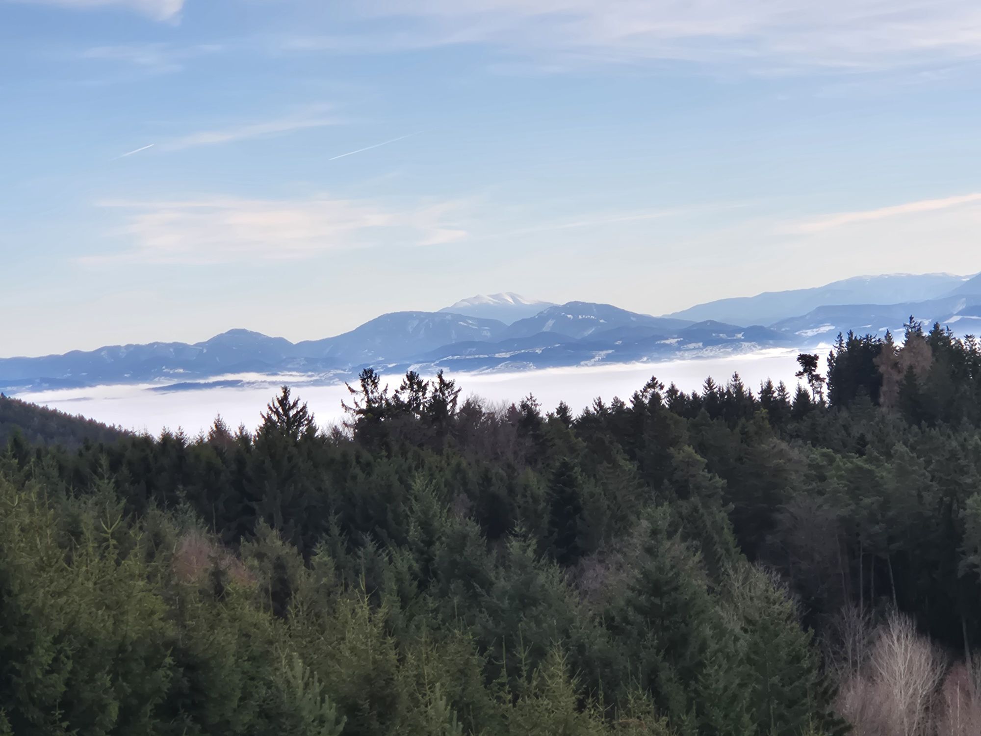
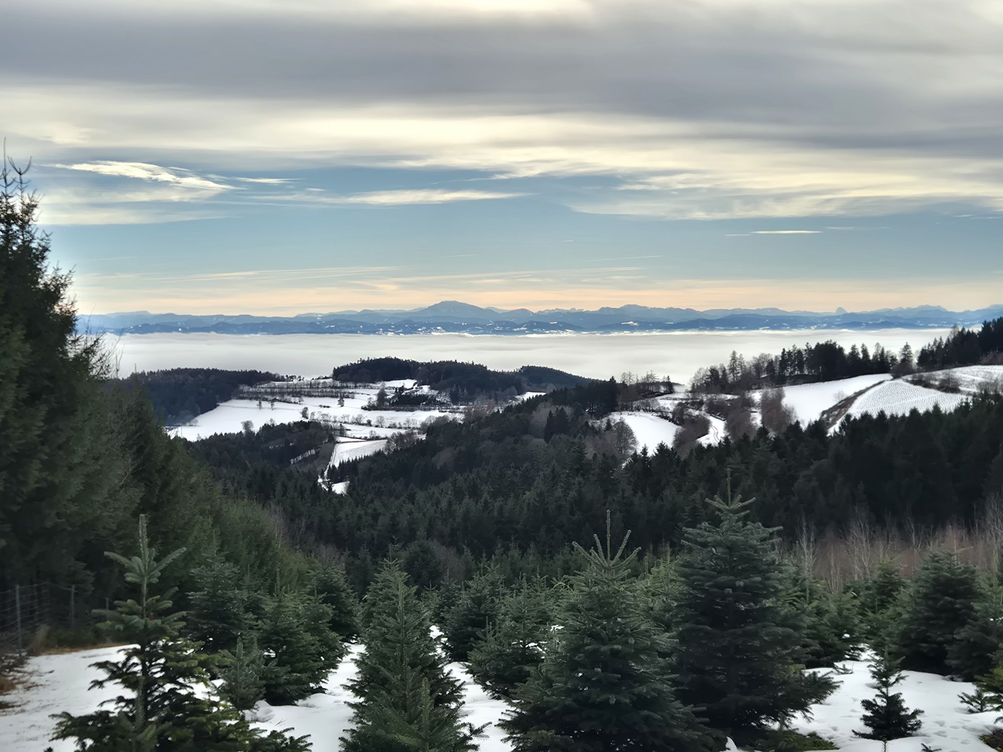
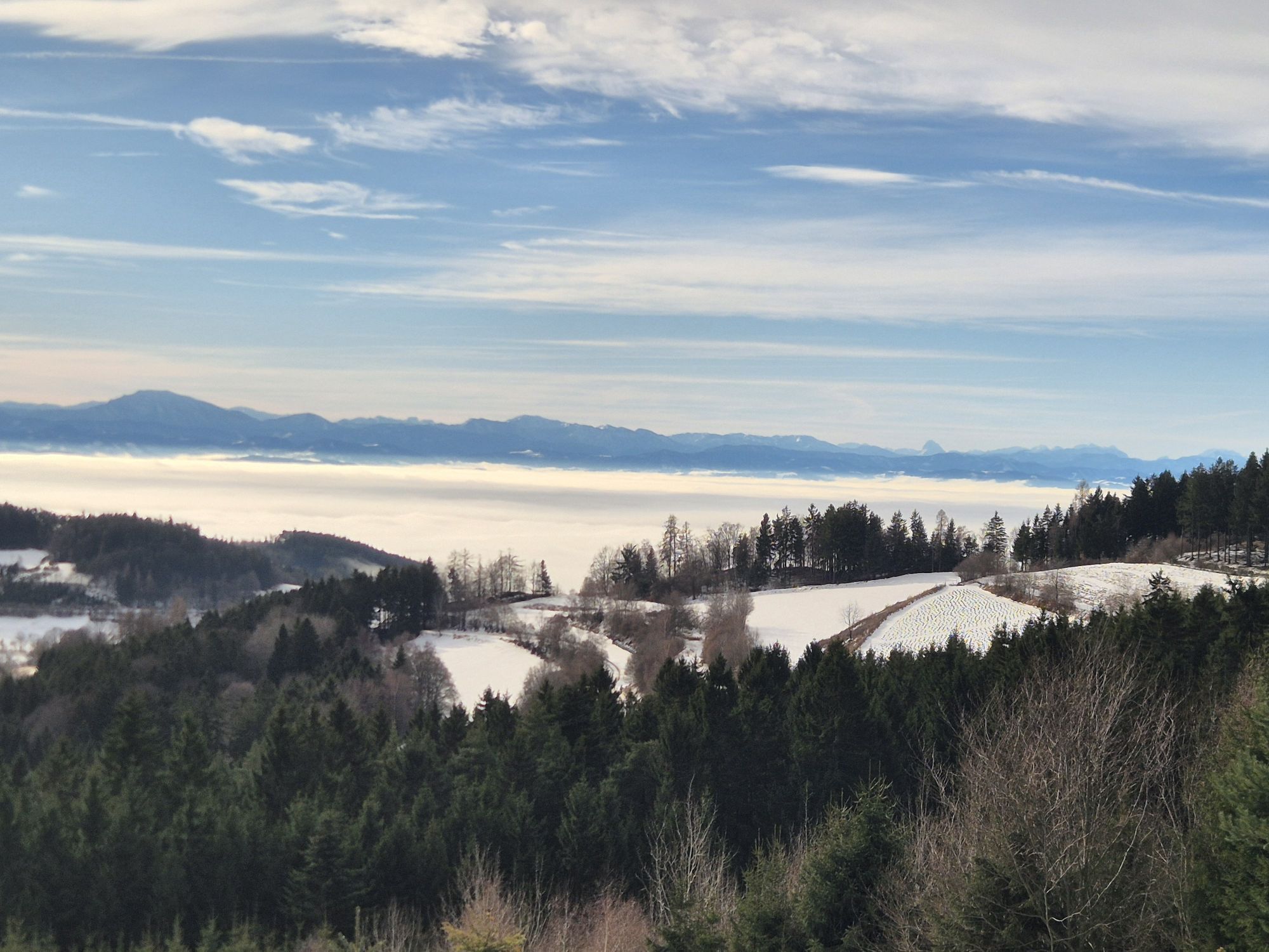
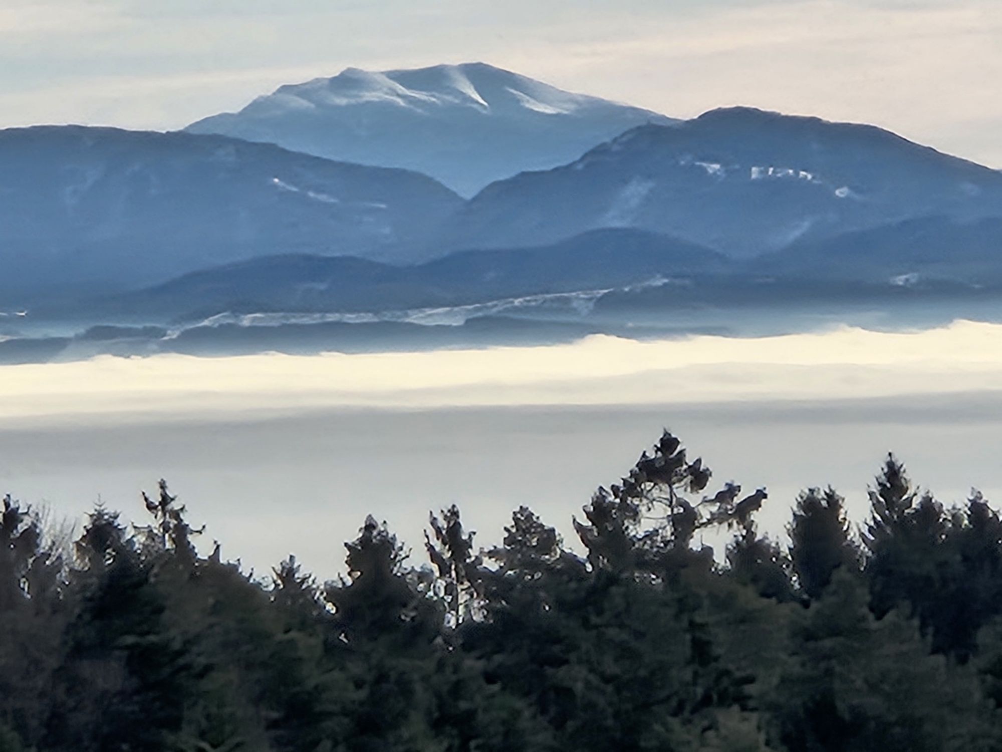
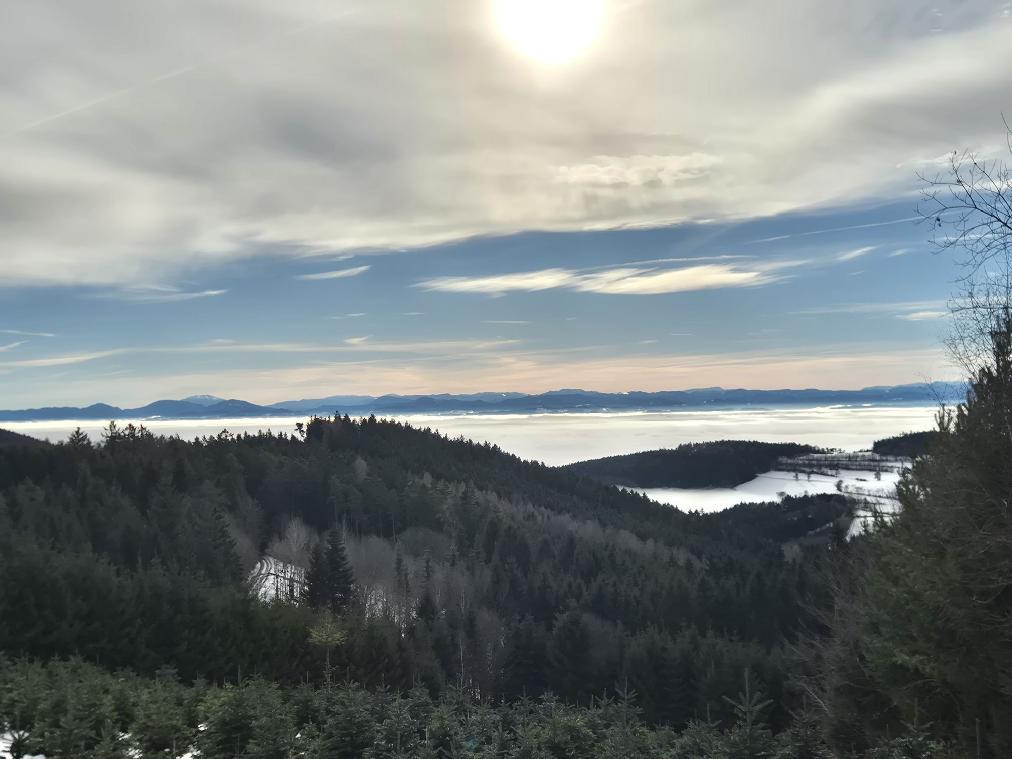


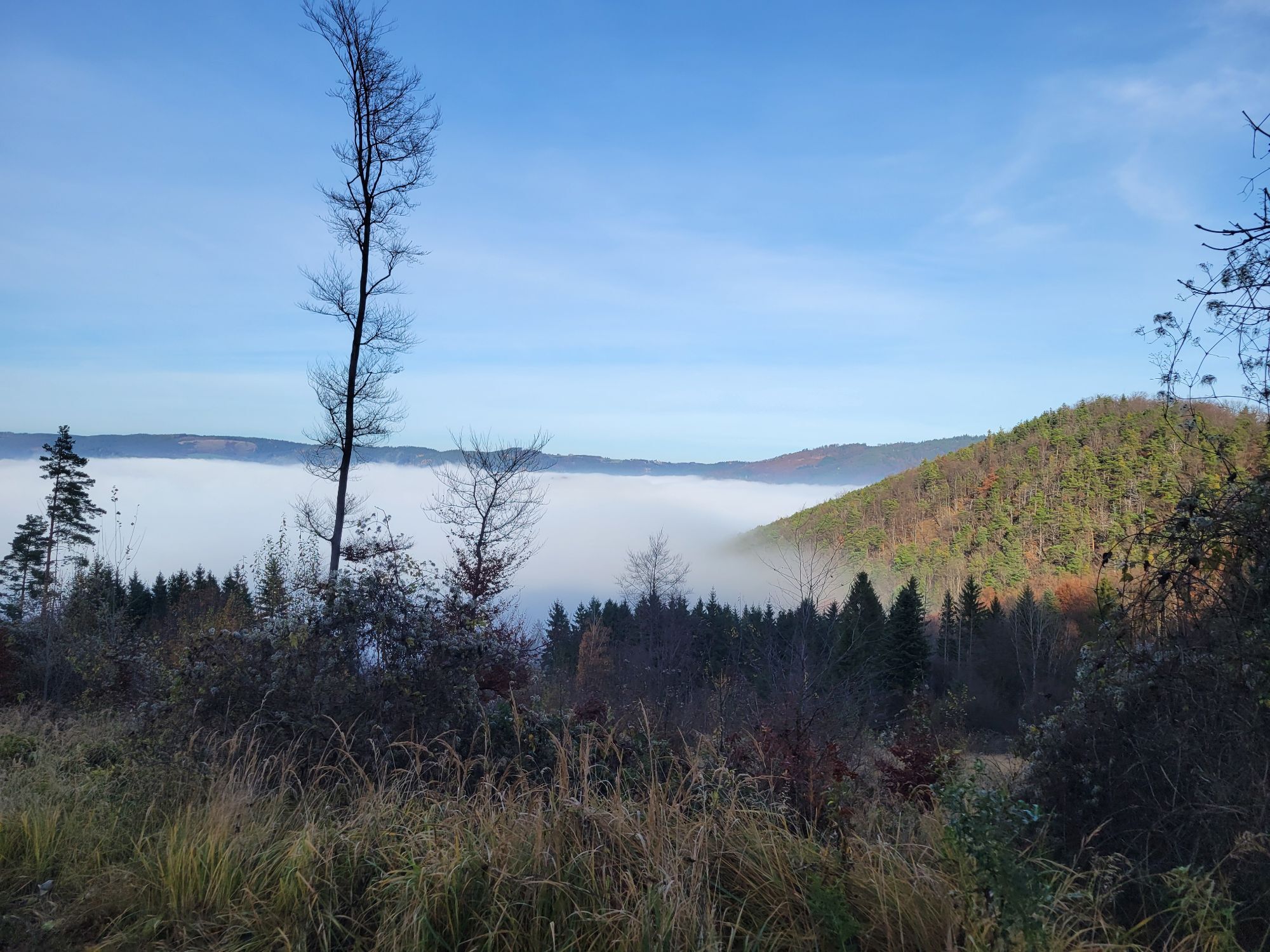


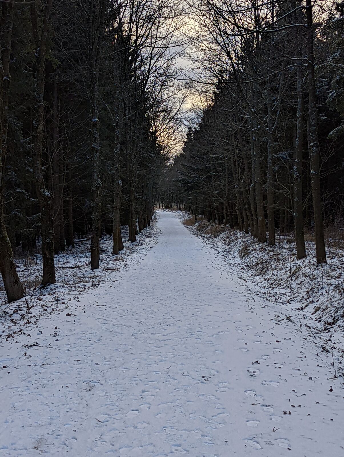
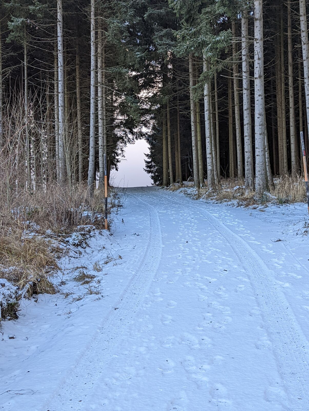

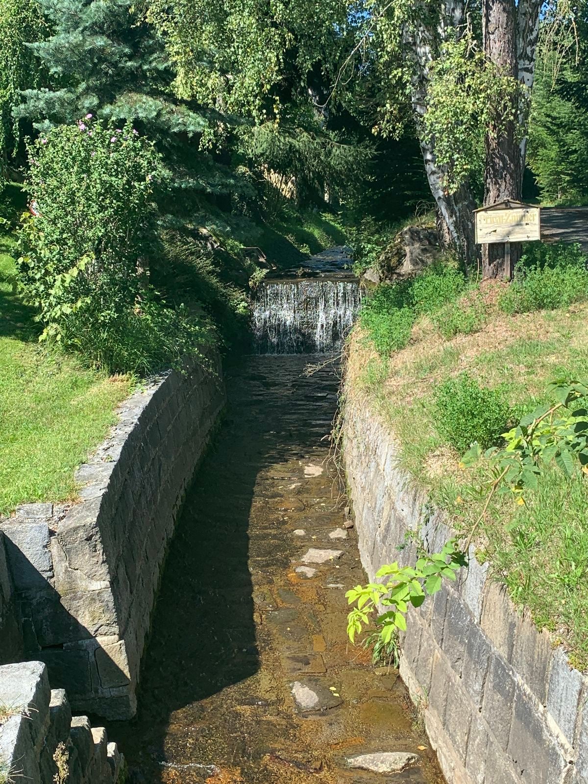
We start from Mühldorf via Trandorf up to the Nonnersdorfer Kreuz, where we enjoy a magnificent view of the foothills of the Alps on the descent towards Nonnersdorf. Via Nonnersdorf and Felbring, we immerse...
We start from Mühldorf via Trandorf up to the Nonnersdorfer Kreuz, where we enjoy a magnificent view of the foothills of the Alps on the descent towards Nonnersdorf. Via Nonnersdorf and Felbring, we immerse ourselves in the mythical forests of the Jauerling to reach the Hochjauerling via the pilgrimage site of Maria Laach. Here we have a box seat: we overlook the Wachau valley with the Danube and the vineyard terraces. On a clear day we can see as far as Vienna. From there we take part of the Weinstein tour back to Mühldorf.


A respectful coexistence with other forest users or the hunting and forestry staff is as natural as avoiding litter. The Biker Fair Play rules are meant to embody these principles and can be found both on analog maps and various websites. Here are the rules in detail:
Use of the marked bike routes is only permitted during the contractually fixed time periods: March, October from 9:00 am to 5:00 pm; April, September from 8:00 am to 6:00 pm; May to August from 7:00 am to 7:00 pmRespectful interaction with landowners and hunting and forestry personnel!Consideration for other forest users!Ride at half visibility with controlled speed!Be cautious of work machines, wood or potholes on the road, pasture animals, and motor vehicle traffic (forest roads are work areas and workplaces)!Observe traffic regulations!Consider cleanliness of nature!Equipment checks and wearing helmets!Riding off the routes and outside the permitted times is illegal. Observe bans and closures!Use of bike routes at your own risk!By car: via the A1 to Melk and then the B3 to Spitz and Mühldorf or via the S5 to Krems and the B3 to Spitz and Mühldorf.
The Spitzer Graben (Spitz-Mühldorf-Raxendorf-Pöggstall) is accessible by bus line 718. All bus connections can be found at www.vor.at
In the center of Mühldorf.
Person responsible for the content of this tour
Wachau-Nibelungengau-Krems Valley ("Krems Valley" in German)
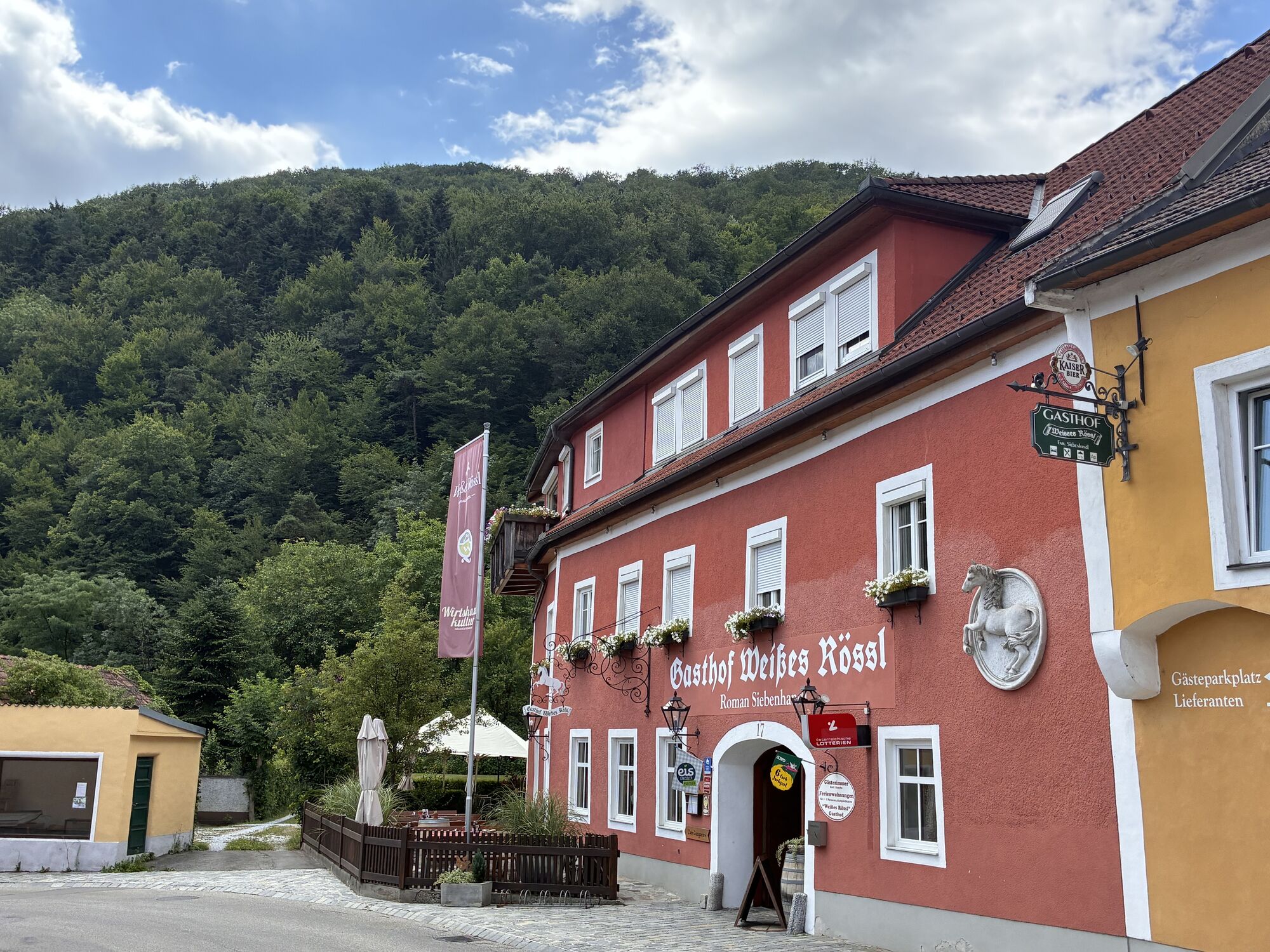
Plan a visit to the Gasthof Weißes Rössl in Mühldorf as a finale.

Popularne wycieczki w okolicy
-
4,5
Welterbesteig Wachau 03: Weißenkirchen-Spitz
światłodługodystansowy szlak pieszy 10,4 km -
4,7
Wachau: Seekopf - Hirschwand
średniWędrówka 10,4 km -
4,6
AGGSTEIN Ruine, Aggstein, Druidentürme und zurück 20241019
średniWędrówka 7,50 km -
4,6
Maria Langegg - Rote Wand - Hoher Stein - Kastlkreuz
średniWędrówka 11,4 km -
4,6
Welterbesteig Wachau 08: Emmersdorf-Melk
światłodługodystansowy szlak pieszy 9,90 km -
4,5
Seekopf und Hirschwand
średniWędrówka 2,83 km -
4,5
Hirschwand und Seekopf
średniWędrówka 9,09 km -
3,9
Spitz a. d. Donau Jauerling Schwallenbach retour 16.04.2016
średniWędrówka 20 km -
3,9
Spitz - Buchberg - Runde
średniWędrówka 9,60 km -
4,0
Rote Wand und Hoher Stein
średniWędrówka 7,80 km
Wędrówki i tropienie


Nie przegap ofert i inspiracji na następne wakacje
Twój adres e-mail została dodana do listy mailingowej.


