


Mountain region - route
Zdjęcia naszych użytkowników
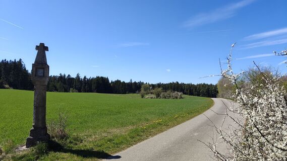
 © ManfredUtworzono dnia 25.04.2026
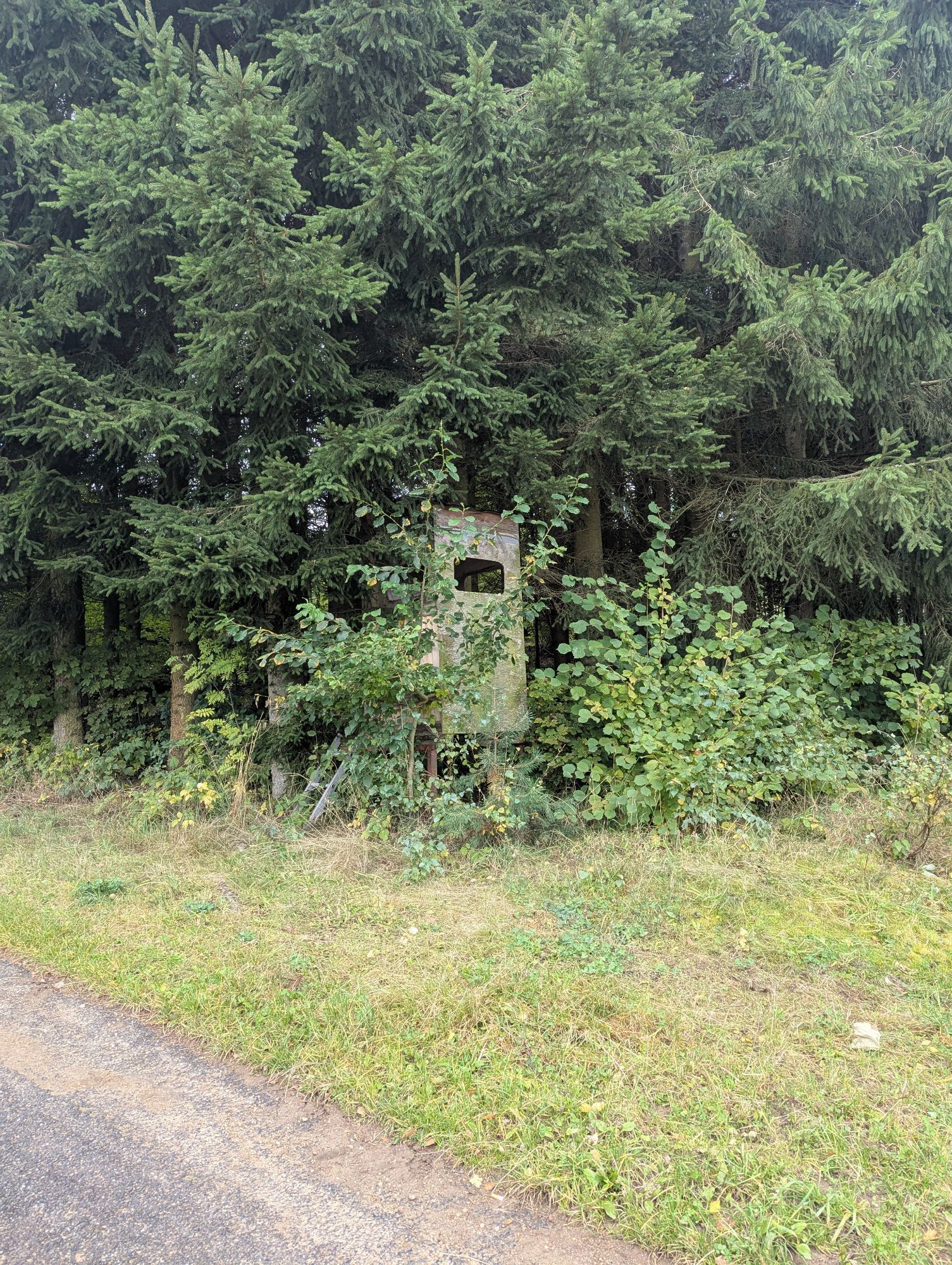
 © Gerhard DoberschekUtworzono dnia 28.03.2026
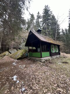 © Gerhard DoberschekUtworzono dnia 28.03.2026
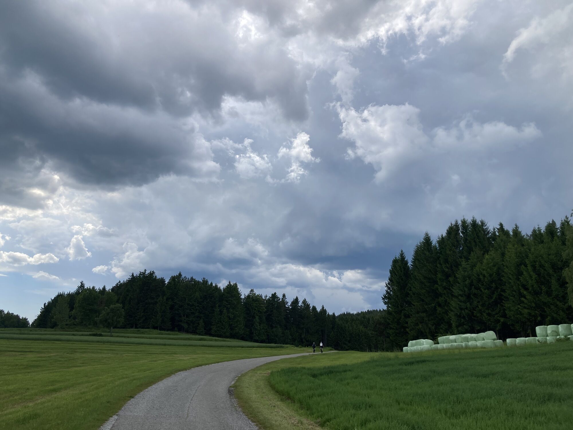
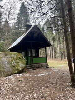 © Gerhard DoberschekUtworzono dnia 28.03.2026
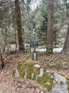 © Gerhard DoberschekUtworzono dnia 28.03.2026
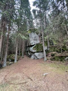 © Gerhard DoberschekUtworzono dnia 28.03.2026
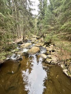 © Gerhard DoberschekUtworzono dnia 28.03.2026
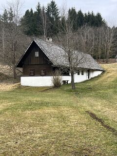 © Gerhard DoberschekUtworzono dnia 28.03.2026
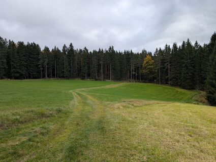
 © Claudia ThimeUtworzono dnia 08.10.2025
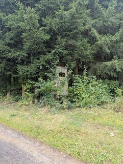 © Claudia ThimeUtworzono dnia 08.10.2025
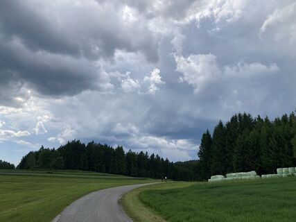
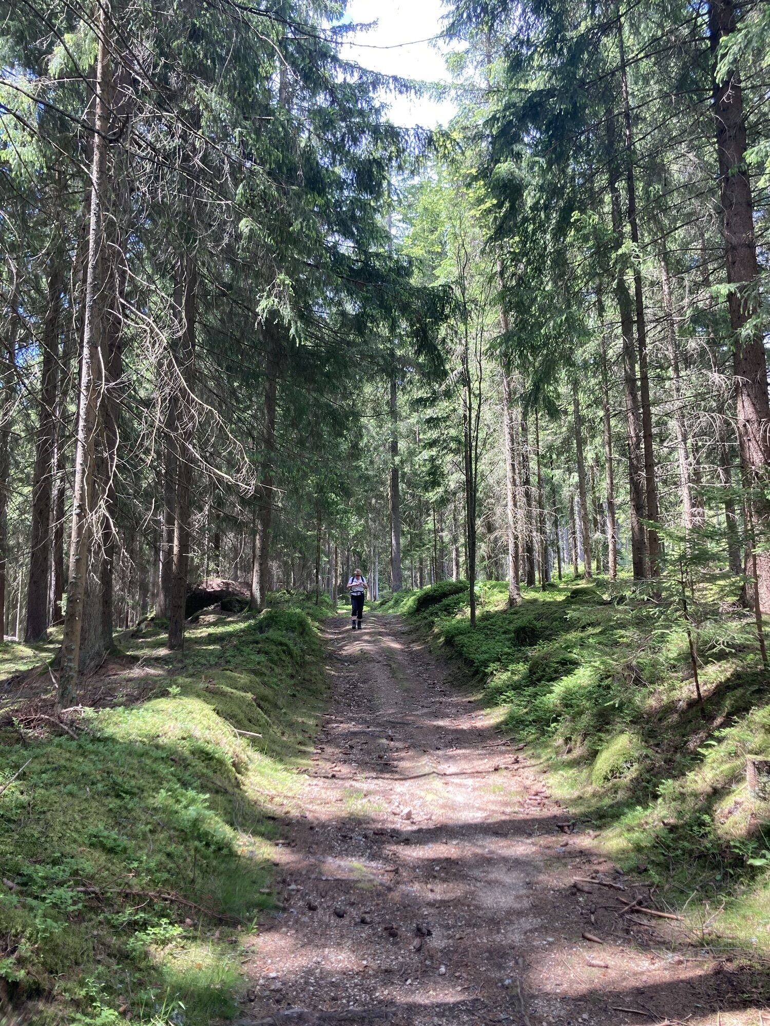
 © MoonytigerUtworzono dnia 31.05.2025
 © MoonytigerUtworzono dnia 31.05.2025
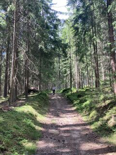 © MoonytigerUtworzono dnia 31.05.2025
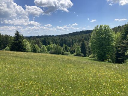 © MoonytigerUtworzono dnia 31.05.2025


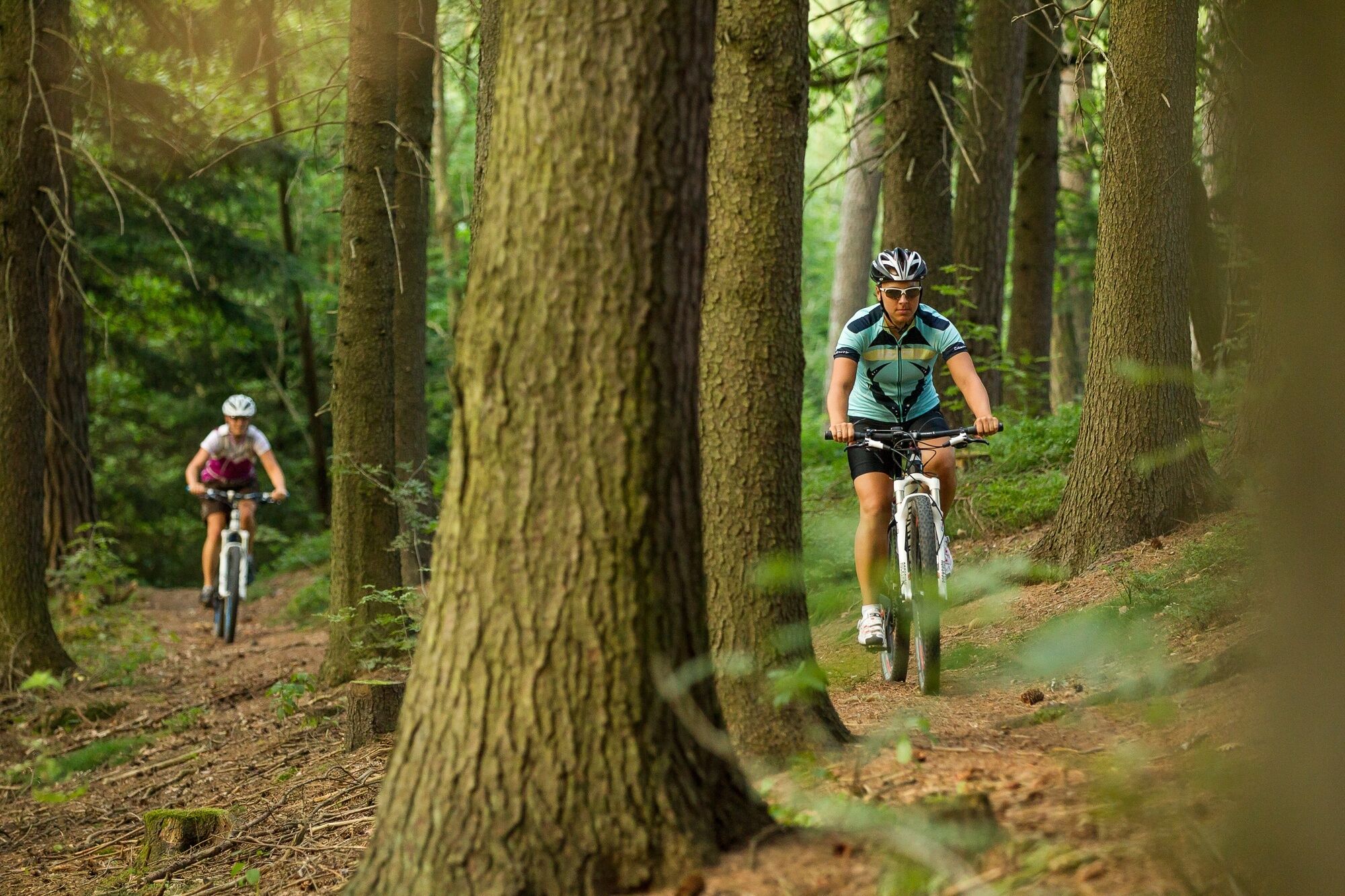
From the sports ground you first ride past the cardiovascular center and the Pletzensiedlung towards Hypolz. From the ascent after the town, called Pulverturm, you have a nice view back to Groß Gerungs.
From Hypolz it continues along the Zwettl and then uphill to Freitzenschlag. From here the path leads past individual farms, meadows, fields and through forest areas via Kotting Nondorf back to Freitzenschlag, where you can again gaze over the town.
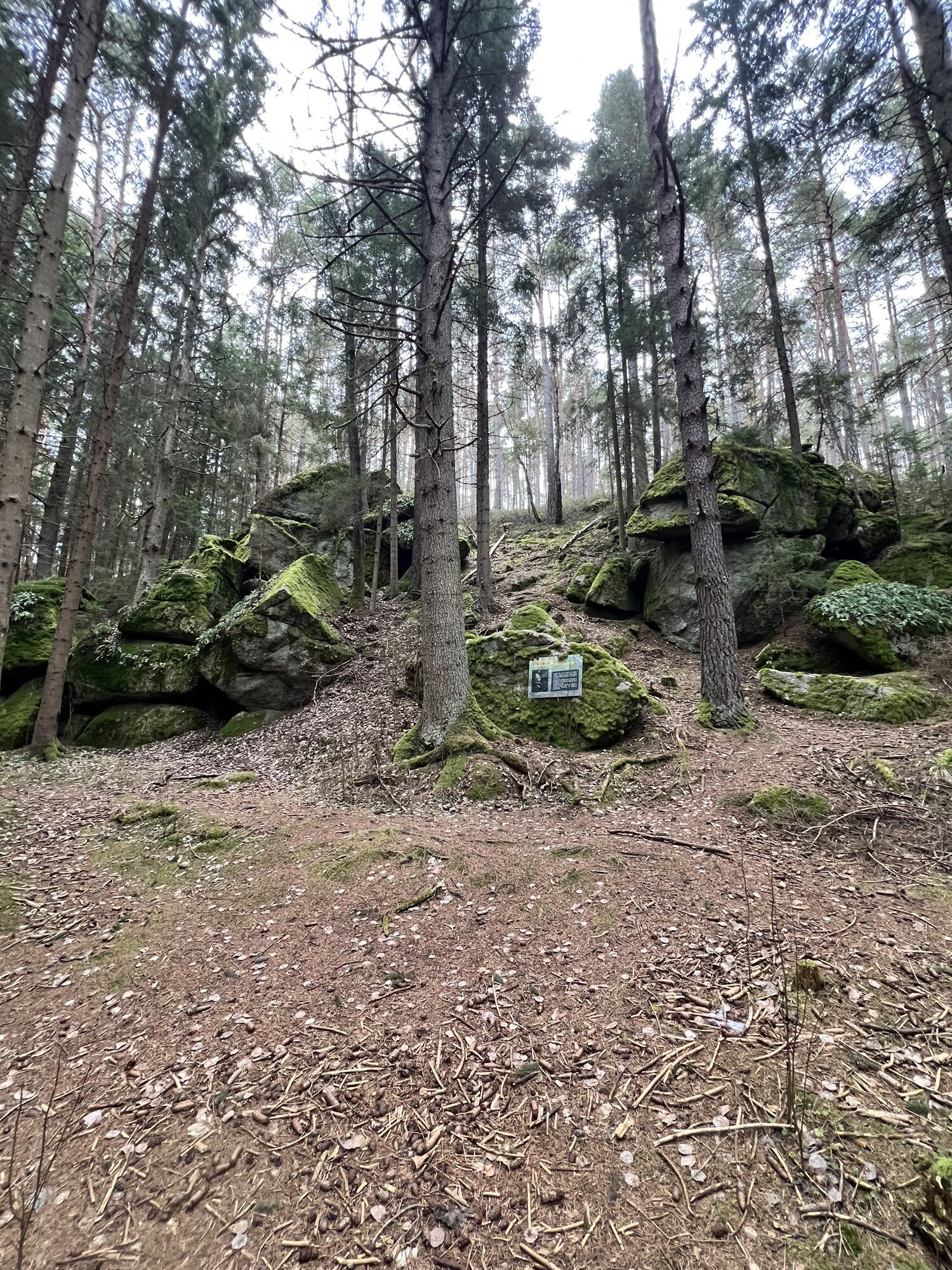
Afterwards follows a steep ascent over Moltern and the Fichtner and a longer forest path towards Wiesenfeld, from where you finally continue via Griesbach to Kamp. Here a visit to the hammer smithy is recommended.
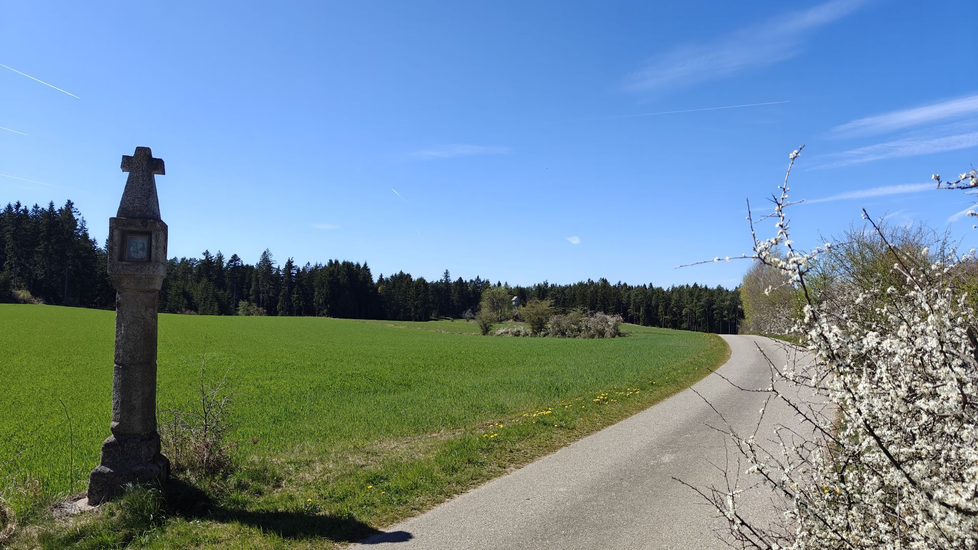
After a short section on the federal road, you pass the "Red Cross" onto asphalt and field paths downhill to Griesbach, and then uphill to Antenfeinhöfen. Asphalt, field and small forest paths alternate. It is never tiring, but also never really restful. You should take your time to enjoy the beautiful landscape.
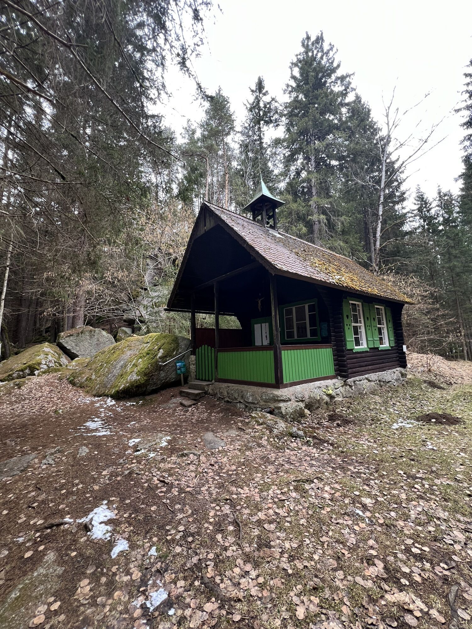
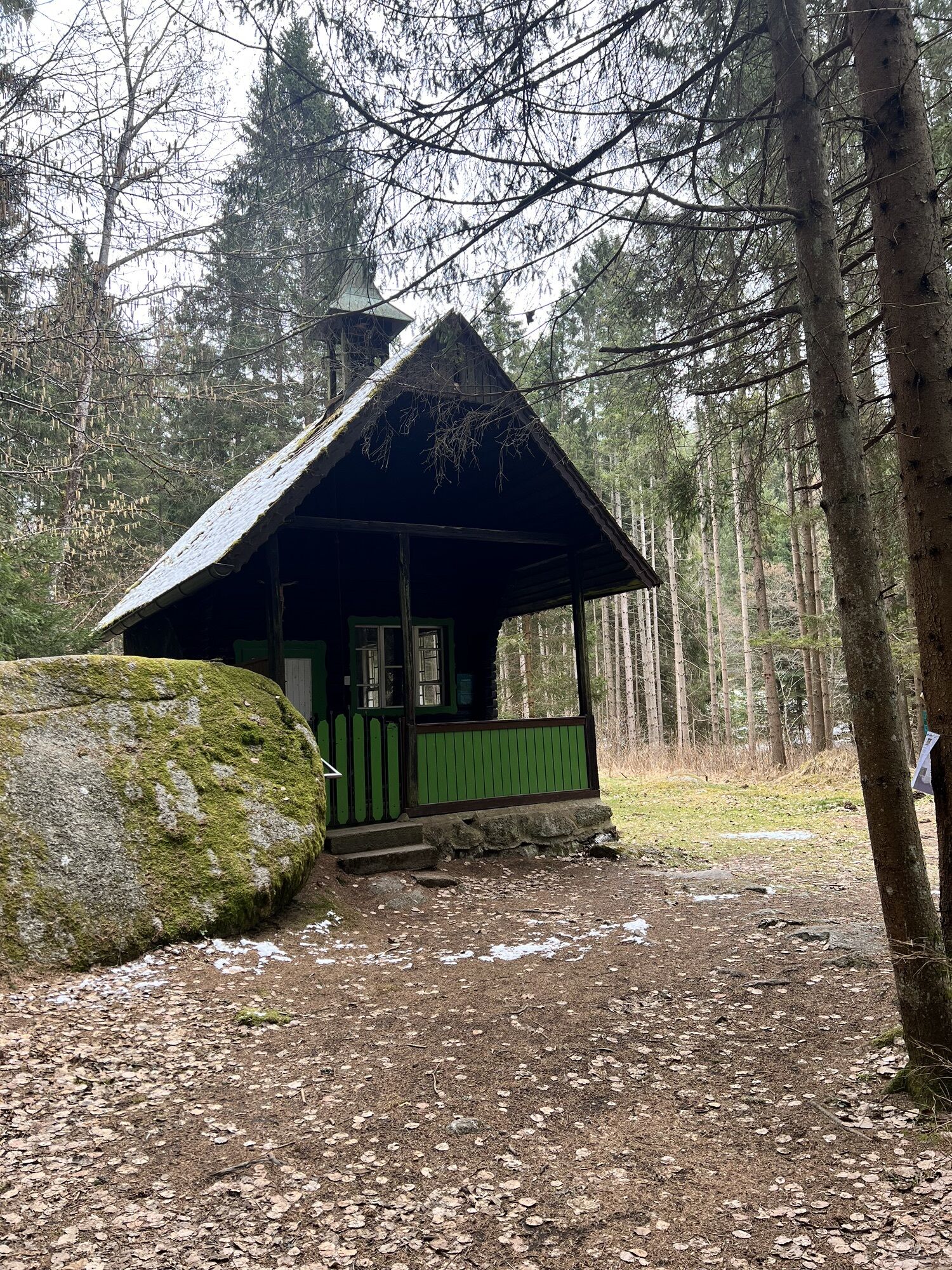
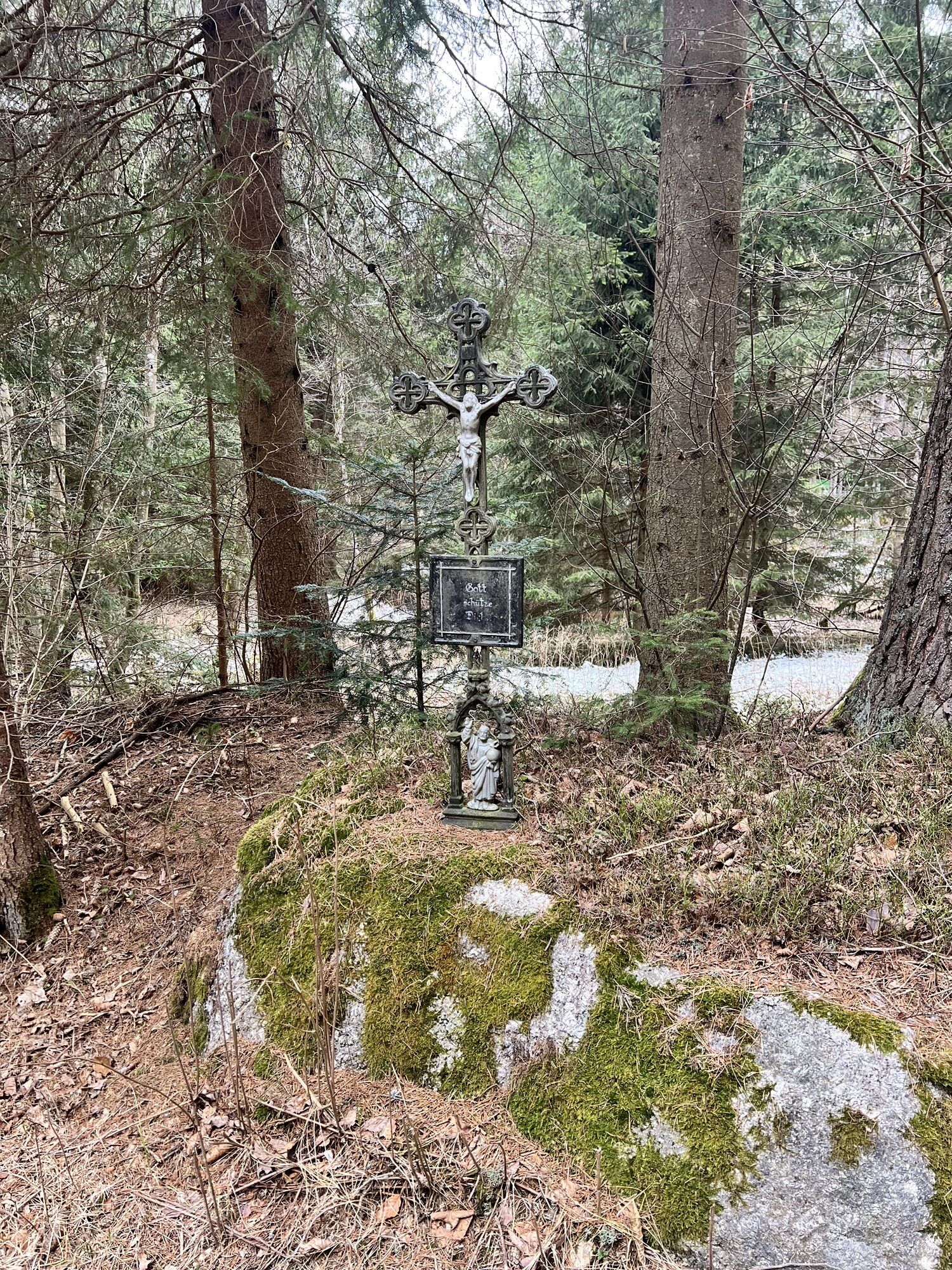
Arriving at the highest point of the route, it goes slightly downhill to Kleinpertholz. After the counter ascent, which is sprinkled with nice viewpoints, you face a fast descent into the Zwettl valley. Passing the Klaus chapel (a power arena place), which can be reached via a footbridge, you continue to Klausmühle and via Klein Reinprechts back to the starting point at the sports ground.
Coming from St. Pölten via S33 to Krems, further via B37 and B38 to Zwettl and via B38 to Groß Gerungs.
Coming from Vienna via A22 and S5 to Krems, further via B37 and B38 to Zwettl and via B38 to Groß Gerungs.
Coming from the west via A1 to Linz, further on A7 and S10 to Freistadt, B38 to Karlstift, B38 to Groß Gerungs.
Bus connections from Krems via Zwettl, from Linz via Karlstift or Arbesbach, and from Gmünd to Groß Gerungs
Waldviertel railway from Gmünd to Groß Gerungs in the summer months
Parking lots in Groß Gerungs, attention to the short-term parking zone at the main square of Groß Gerungs
Municipality of Groß Gerungs
3920 Groß Gerungs, Hauptplatz 18
(T) +43 2812 8611
(E) office@gerungs.at
(I) www.gerungs.at
Waldviertel Tourism
3910 Zwettl, Sparkassenplatz 1/2/2
(T) +432822 54109
(E) info@waldviertel.at
(I) www.waldviertel.at
Popularne wycieczki w okolicy
- 3,8
Wandern im Liebenauer Moor
światłoWędrówka 4,16 km - 4,2
TiWaLi Kamptal-Weißenbach-Runde
światłoWędrówka 10,6 km - 4,3
Teddybear Trail Lohnbachfall
światłoTrasa tematyczna 4,41 km - 4,0
Naturparkweg Bad Großpertholz
światłoWędrówka 7,17 km - 4,6
Rappottenstein
światłoWędrówka 10,1 km - 4,7
Höllfall und Lohnbachfall
Wędrówka 13,8 km - 4,0
Nordwaldstrecke
Mountainbike 25,1 km - 5,0
Liebenau Nr. 31 Kampursprung
światłoWędrówka 10,3 km - 5,0
Freiwald route
średniMountainbike 33,3 km - 4,3
Kinzenschlag hiking trail No. 42
średniWędrówka 13,0 km

Wędrówki i tropienie


Nie przegap ofert i inspiracji na następne wakacje
Twój adres e-mail została dodana do listy mailingowej.