




Verbindungsweg Dornbach - Wienerwald-Achter



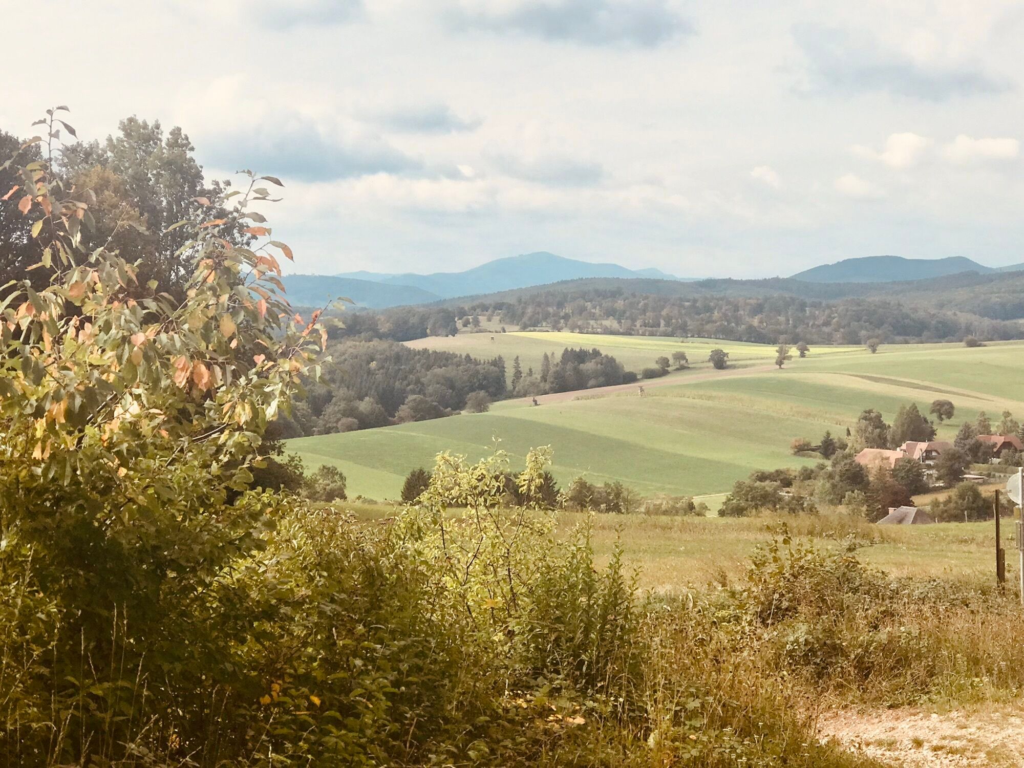
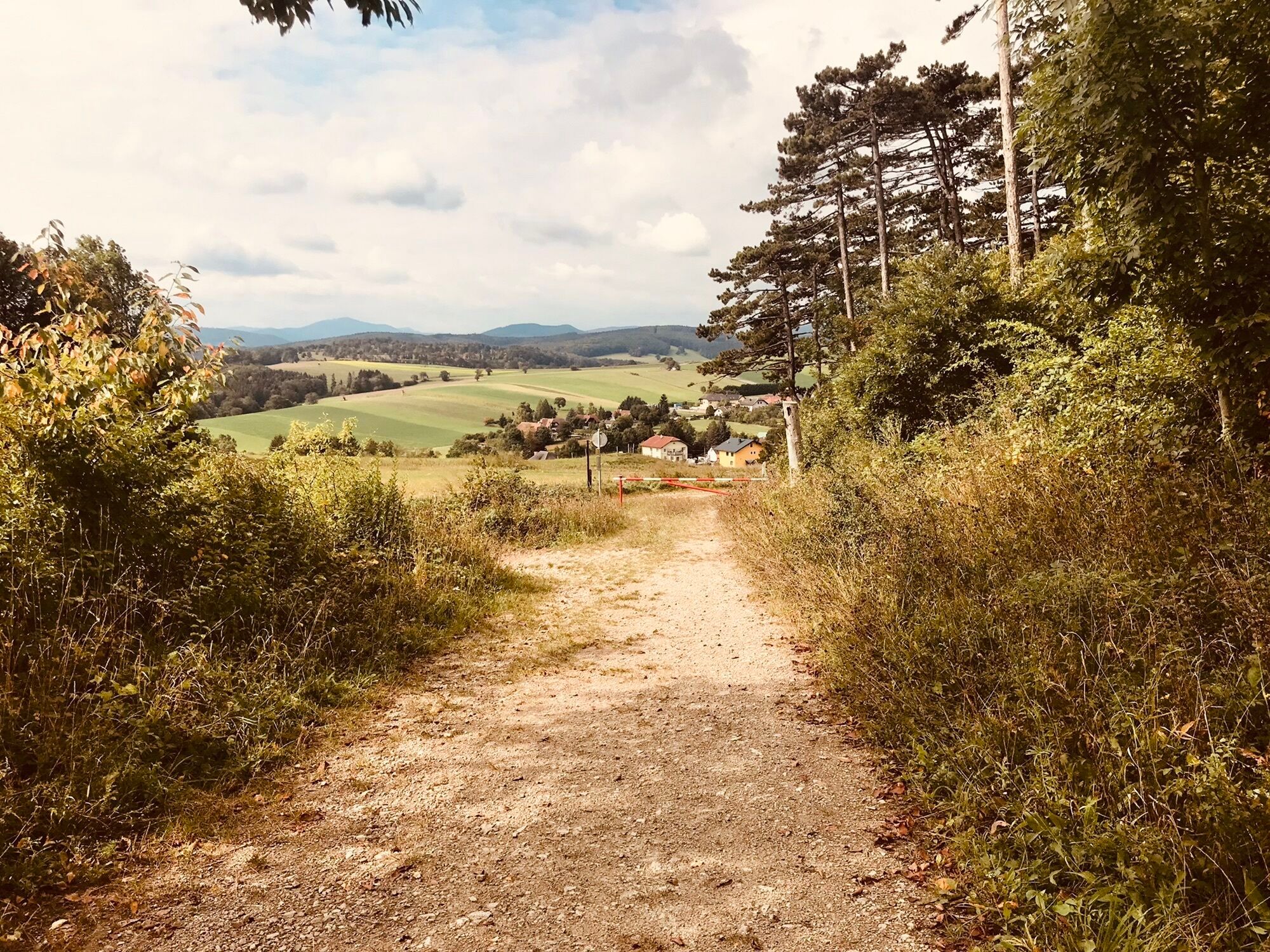
The Wienerwald-Achter and the Helenental route can be reached via this connecting path. This path may be used in both directions, but consideration for hikers and a corresponding adjustment of speed applies...
The Wienerwald-Achter and the Helenental route can be reached via this connecting path. This path may be used in both directions, but consideration for hikers and a corresponding adjustment of speed applies here as well as on the entire route network.

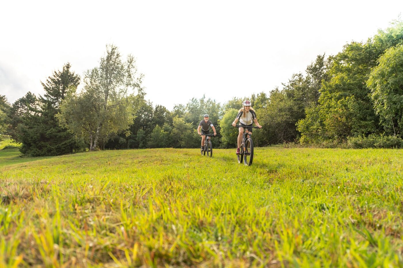

A safe and roadworthy mountain bike is a prerequisite for all routes. A helmet and gloves provide protection in the event of a fall, and knee and elbow pads can be added when riding on single/shared trails. A modern mountain bike with disc brakes and sufficient tire tread is recommended. For single and shared trails rated red difficulty or higher, a full-suspension bike with modern geometry is recommended. Tools, a tire lever, a pump, and a spare tube will help in case of a flat tire. You should also carry enough food and drink, as well as a cell phone and a windbreaker or rain jacket.
Before every ride, check that the brakes, tires, and suspension fork/shock are in good working order. Always ride with an eye out for hazards and at a controlled speed, and choose a route that suits the group’s riding ability and the terrain. The Fair Play rules must be observed at all times. Single/shared trails, as well as built trails in trail parks and trail centers, often feature rocks, roots, steep sections, steps, and sharp turns that require a certain level of riding skill. If in doubt, simply dismount and walk your bike.
Wienerwlald Tourismus GmbH
Hauptplatz 11, 3002 Purkersdorf
Tel.: 02231/62176
Email: office@wienerwald.info
Website: www.wienerwald.info
Popularne wycieczki w okolicy
-
4,5
Erlebnisweg Peilstein...auf den Spuren der Kletterer
średniTrasa tematyczna 6 km -
4,8
Kalenderberg und Burg Liechtenstein
światłoWędrówka 8,48 km -
4,7
Naturpark Sparbach
światłoWędrówka 7,08 km -
4,7
AUGUSTINERHÜTTE Parkplatz bei B210 Hoher Lindkogel, Langes Tal 20221030
średniWędrówka 8,02 km -
4,6
Angelos Touren: vom Helenental auf den Hohen Lindkogel
średniWędrówka 11,4 km -
4,6
Abend/Nachtwanderung Teufelstein
światłoWędrówka 7,15 km -
4,6
Landschaftspark Liechtenstein - Angelos Touren
światłoWędrówka 6,70 km -
4,6
Wienerwald: Maria Raisenmarkt - Peilstein
światłoWędrówka zimą 6,82 km -
4,6
Panorama hike Hafnerberg
światłoWędrówka 8,78 km -
4,6
Stadtwanderweg 6 / Zugberg - Maurer Wald (lt. Beschilderung)
światłoWędrówka 13,3 km
Wędrówki i tropienie


Nie przegap ofert i inspiracji na następne wakacje
Twój adres e-mail została dodana do listy mailingowej.


