







Schoderleh route
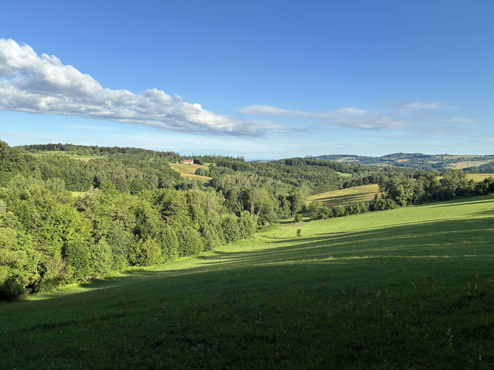
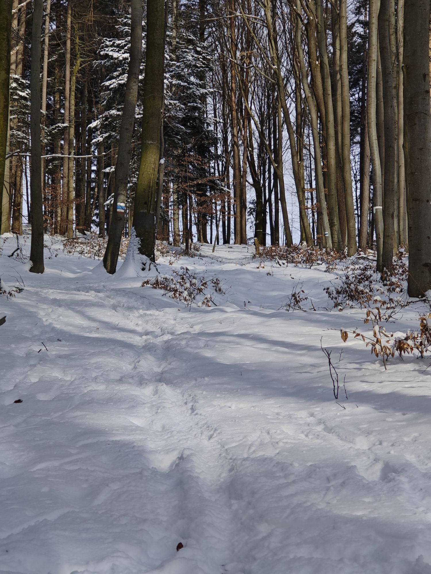
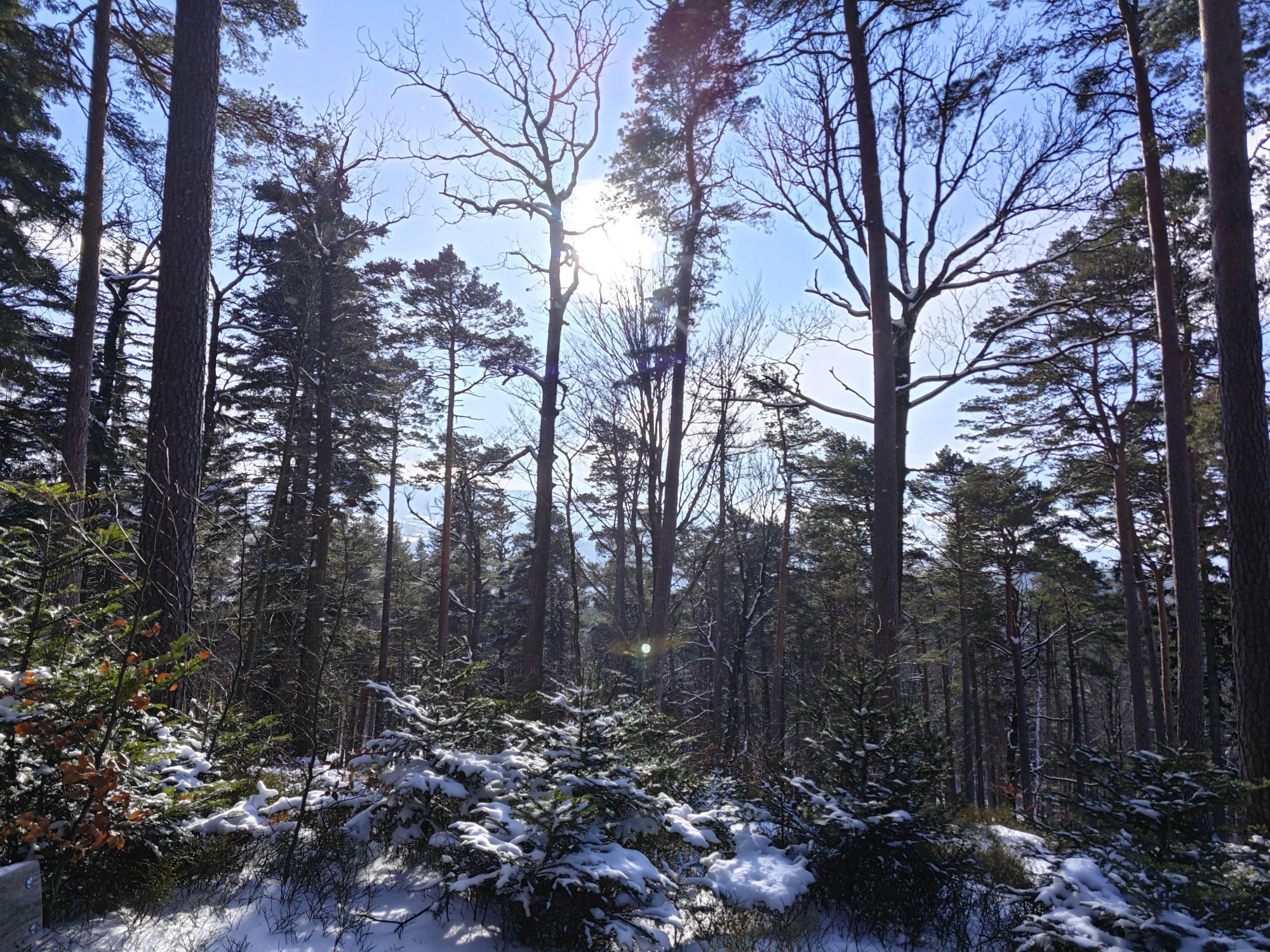
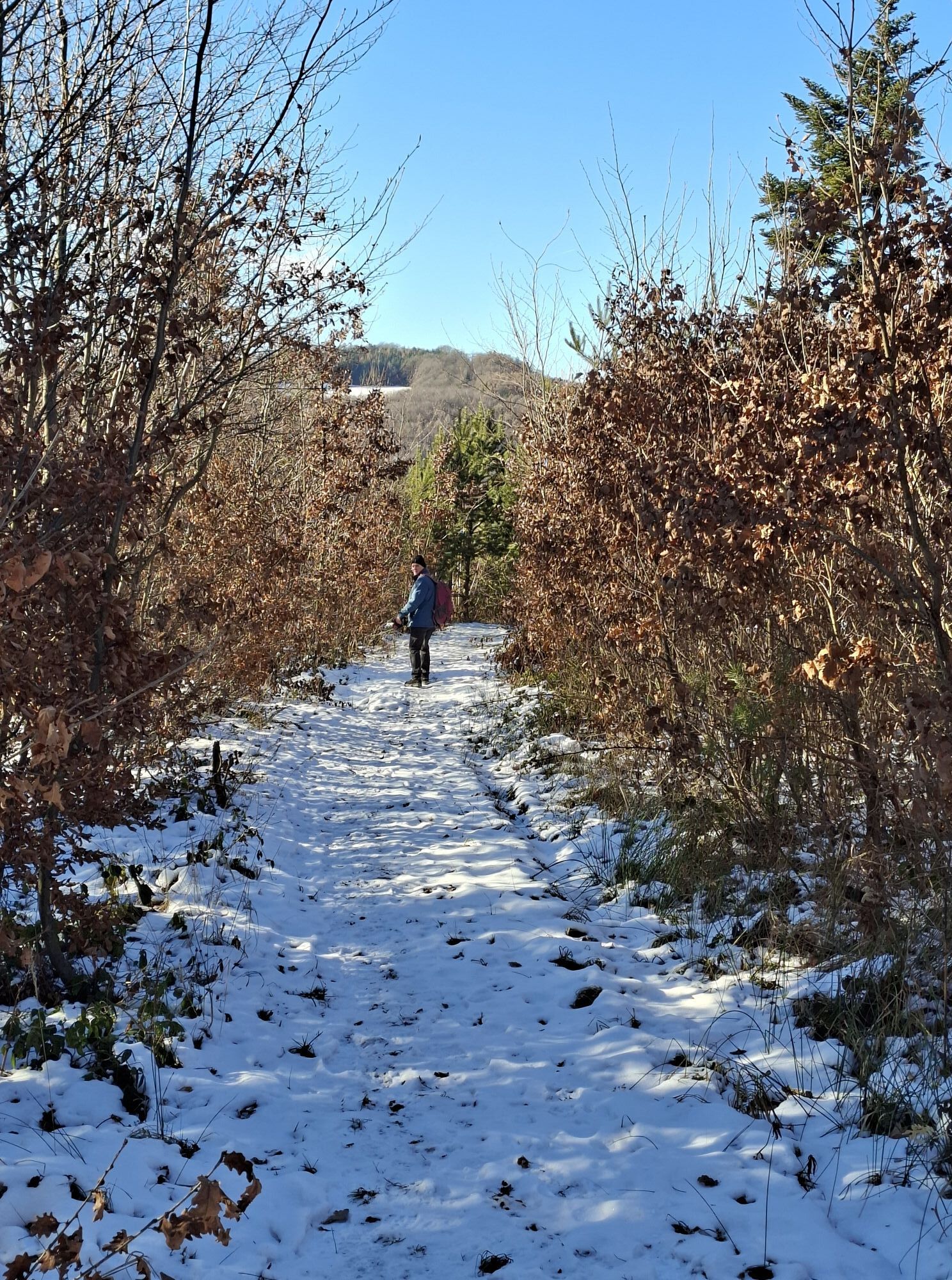
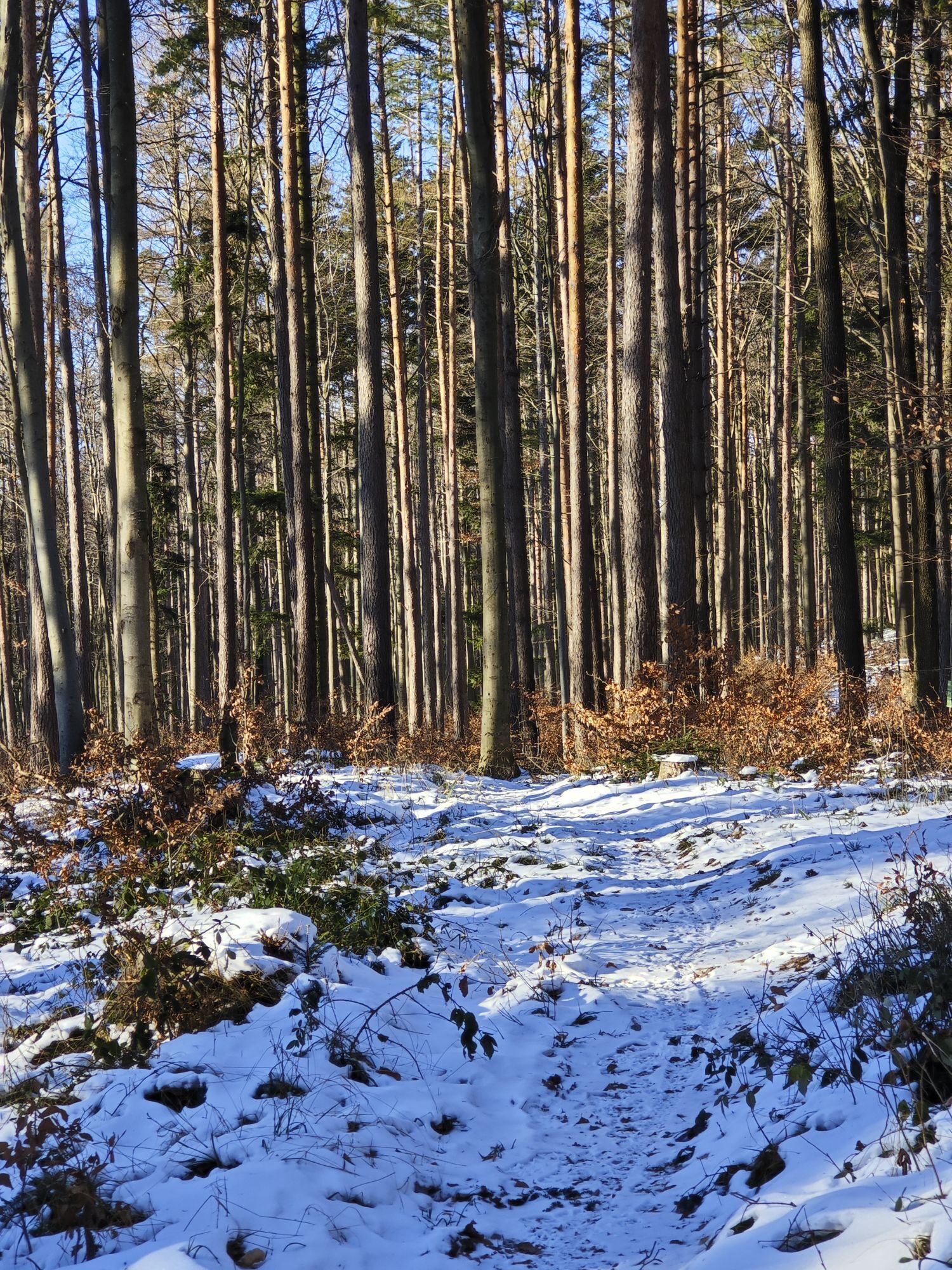
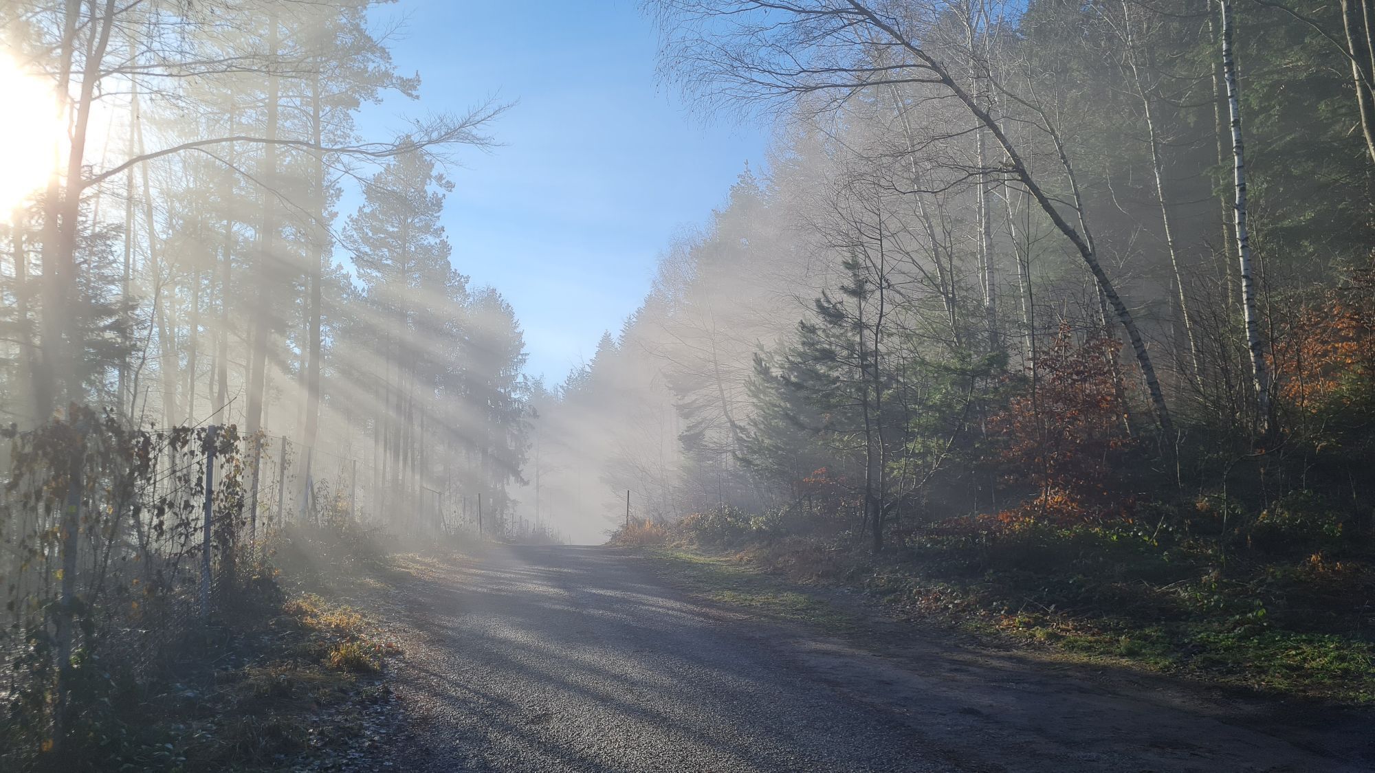
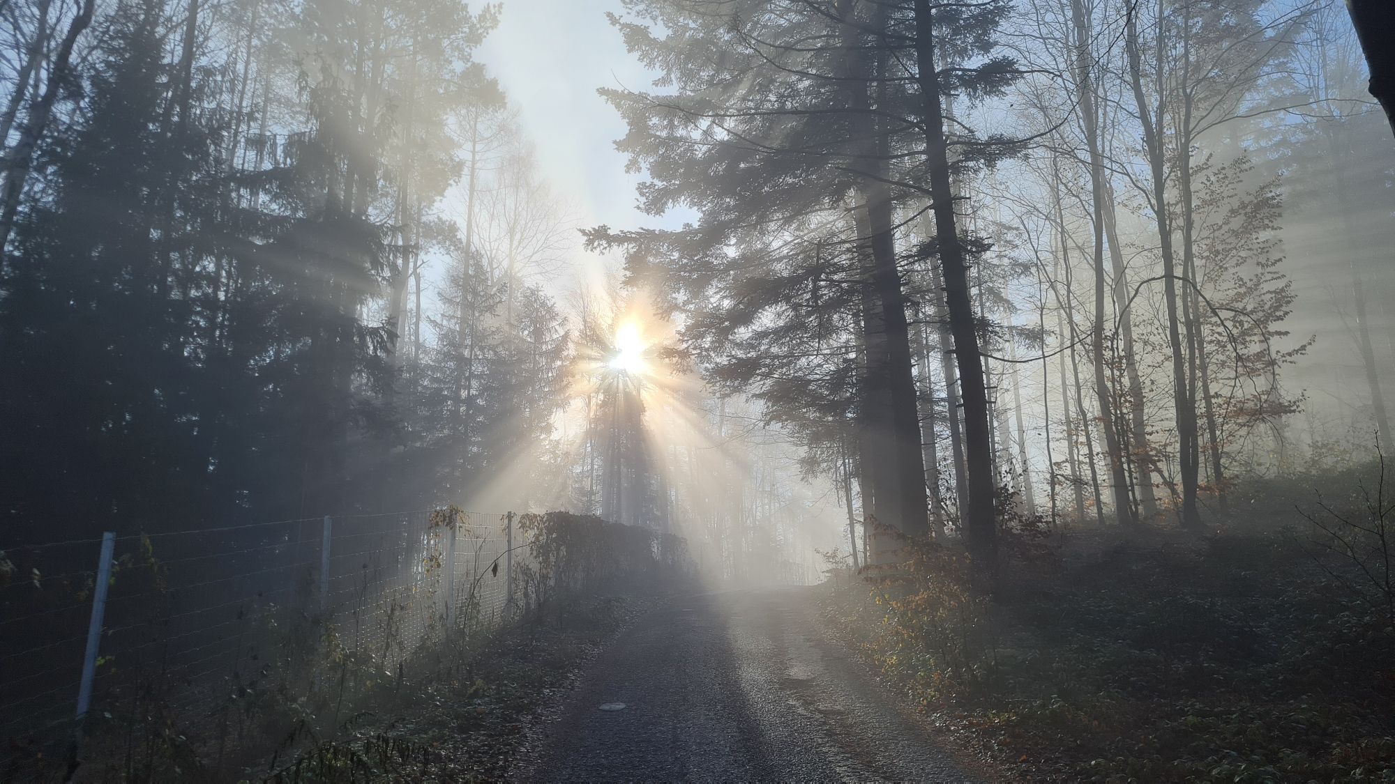
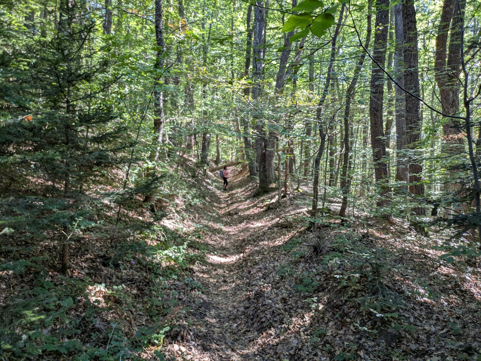
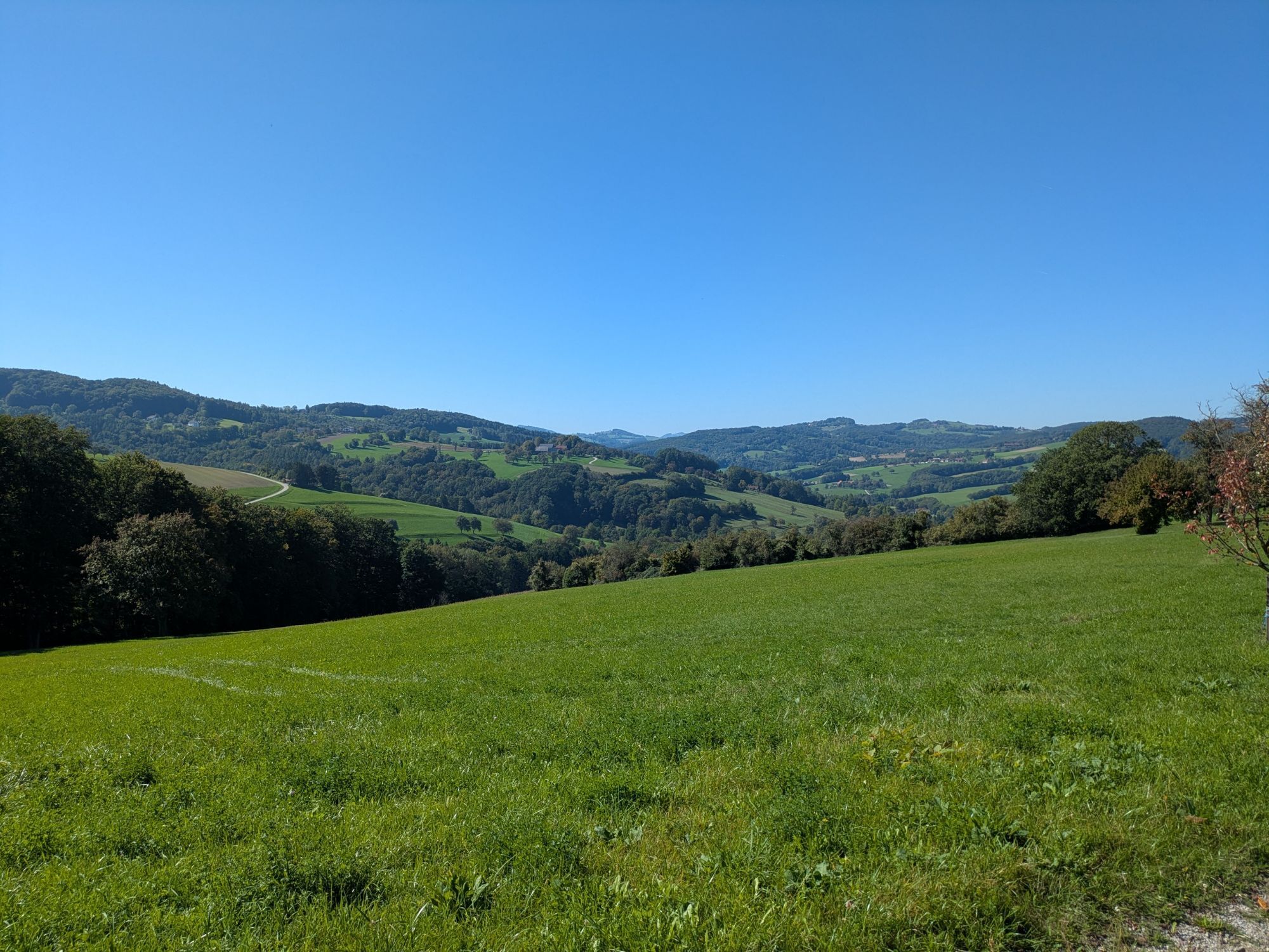
The Schoderleh route offers a varied mix of dense forests, open meadows and idyllic forest trails, which repeatedly offer impressive views of the Vienna Woods and the surrounding countryside. With an elevation...
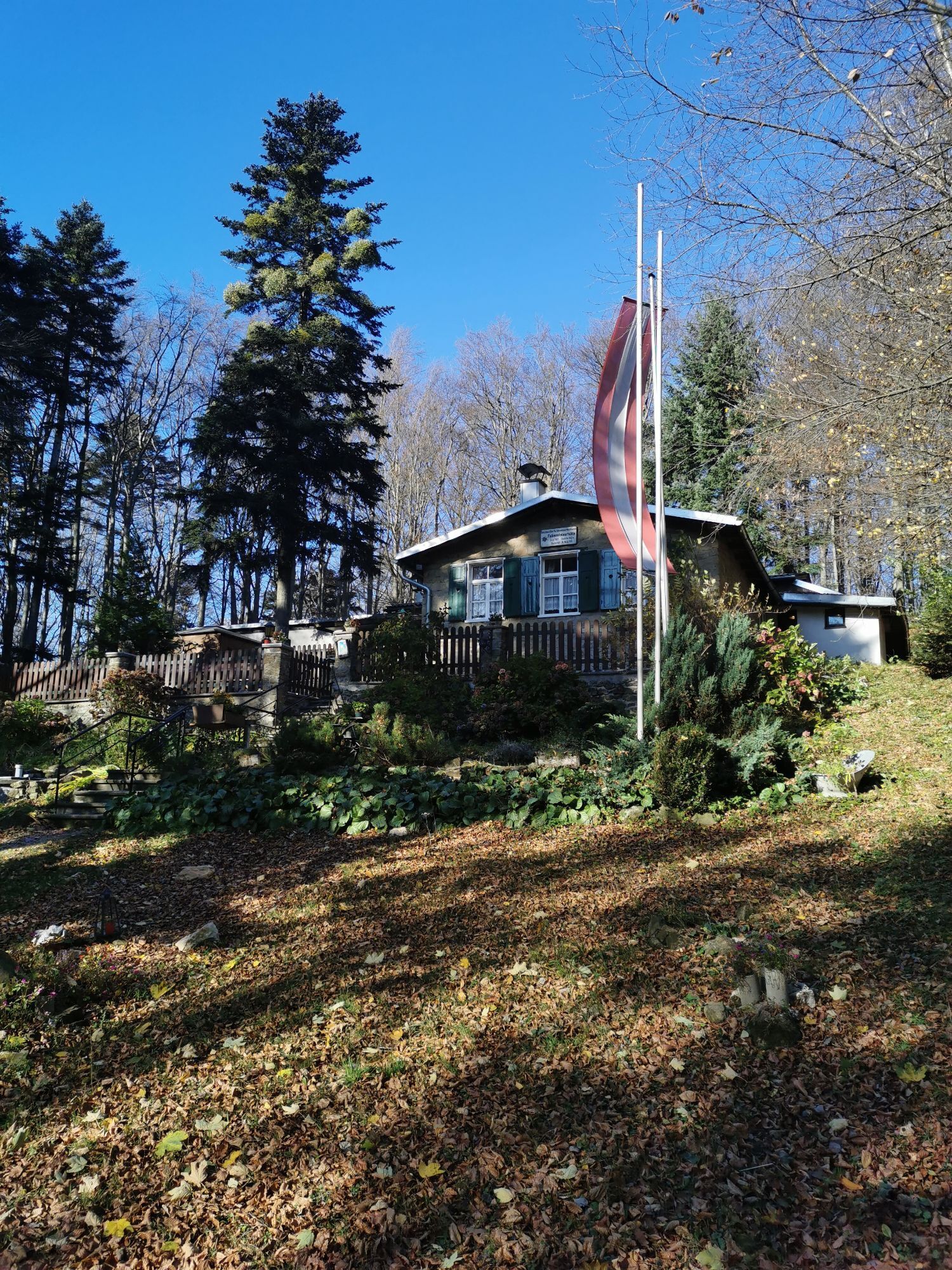
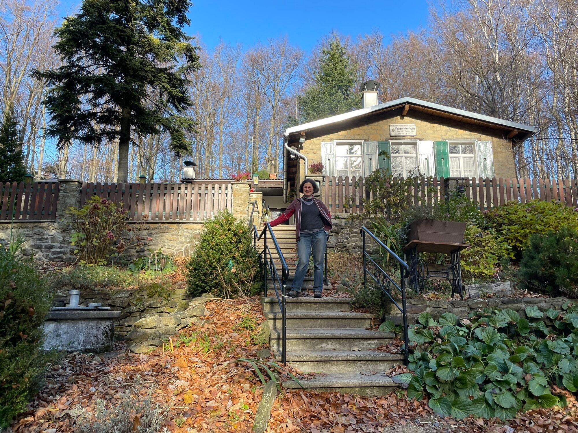
The Schoderleh route offers a varied mix of dense forests, open meadows and idyllic forest trails, which repeatedly offer impressive views of the Vienna Woods and the surrounding countryside. With an elevation gain of 758 meters, the route represents a sporting challenge and is particularly suitable for experienced mountain bikers. A highlight along the route is the Falkensteiner Huts, a tucked-away rest stop that is an insider tip. The combination of challenging climbs and natural trails makes this tour a rewarding experience for ambitious riders.

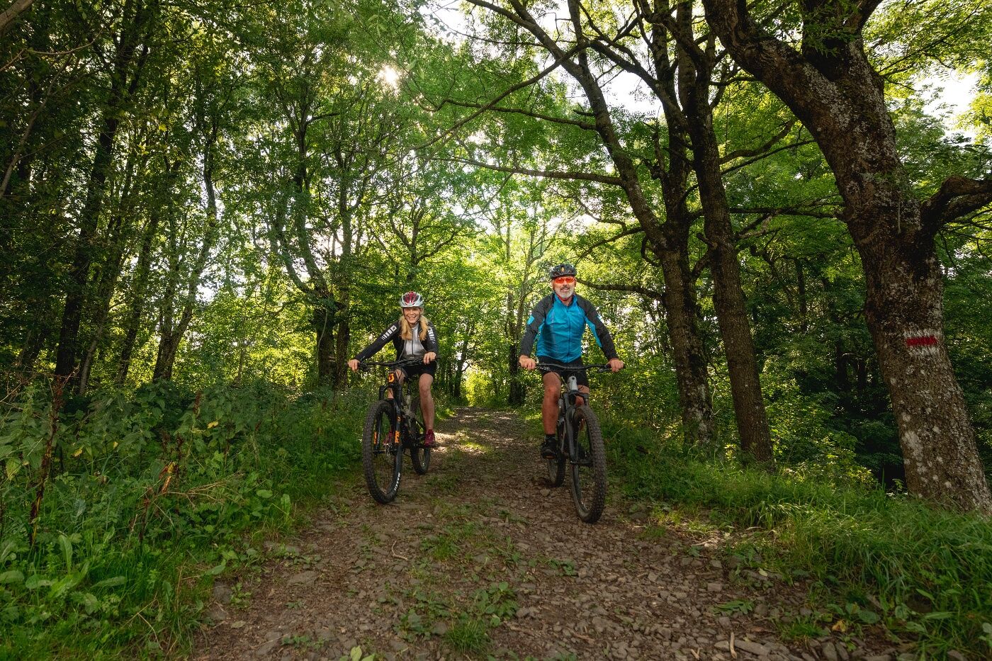

Starting from Neustift, we ride up Hochfeldstraße and into the forest. After a few meters, we turn left at a large intersection onto a new route and follow the signage. After a few hundred meters, partly steep uphill, the path levels off at the top and we rejoin the original route on a beautiful forest path leading to Brandhäusl. There we turn right towards Trainst and Gießhübl and continue through the forest and over Gumpersberg to Außerfurth. Via Reitermühlstraße to Altlengbach and further to the sports club where the path leads back into the forest towards Lengbachl. Afterwards, we pass through Kaltenberg, past Hochstraß, and over Hasenriegel towards Falkensteiner Hut. From there, it goes downhill to Schoderleh and back to Neustift via Innermanzing along the Laabenbach.
Surface: Asphalt 56%, Gravel 30%, Forest/Meadow 14%
A safe and functional mountain bike is a prerequisite for all routes. Helmet and gloves protect in case of falls and can be supplemented by knee and elbow protection on single/shared trails. A modern mountain bike with disc brakes and sufficient tire tread is recommended. For single and shared trails from red difficulty level onward, a fully suspension bike with modern geometry is recommended. Tools, tire levers, pump, and spare tube help in case of a breakdown. Enough provisions (drinks and food) should also be carried, as well as a mobile phone and wind/rain jacket.
Before every ride, check the functionality of brakes, tires, and suspension fork/shock absorber. Always ride with hazard awareness and controlled speed, and adapt the route selection to the riding skills of the group and the surface conditions. The Fair Play rules must always be observed. Single/shared trails and constructed routes in trail parks and trail centers feature more stones, roots, steep sections, steps, and tight turns that require a certain skill level. When in doubt, simply dismount and push the bike.
Travel Information: Please check the directions to the meeting point in advance and allow plenty of time. Be aware of possible traffic delays, road construction, or public transportation disruptions.
Parking Information: Please follow local parking regulations and check for any parking fees or time restrictions. We recommend checking the parking situation in advance to ensure a stress-free arrival.
The elevation data for this route were calculated based on the A-MAP. Slight differences in values are unavoidable due to various map bases from routing/navigation apps and devices. More information can be found in the following blog post!
Vienna Woods Tourism GmbH
Hauptplatz 11, 3002 Purkersdorf
Tel. +43/2231/621 76
E-mail: office@wienerwald.info
Website: www.wienerwald.info
Information on possible excursion destinations:
AltlengbachNeustift-InnermanzingDining options with awards:
Gasthaus Schilling "Zur Kaisereiche"Dining options:
Gasthaus "Zum Kirchenwirt"Hotel LengbachhofGasthaus Hellmuth "Zum Schöpflaufstieg"Das Steinberger Uzyskaj wgląd
Zawsze na żywo z ponad 9 500 kamer internetowych. bergfex Jako użytkownik Pro, możesz teraz zobaczyć odpowiednie kamery internetowe dla wielu wycieczek w aplikacji wycieczki od. Pozwala to na bezpośredni podgląd aktualnych warunków.
Uzyskaj wgląd
Zawsze na żywo z ponad 9 500 kamer internetowych. bergfex Jako użytkownik Pro, możesz teraz zobaczyć odpowiednie kamery internetowe dla wielu wycieczek w aplikacji wycieczki od. Pozwala to na bezpośredni podgląd aktualnych warunków.
Popularne wycieczki w okolicy
-
4,7
Schöpfl
światłoWędrówka 9,52 km -
4,6
Panorama hike Hafnerberg
światłoWędrówka 8,78 km -
4,6
Rundwanderung Gablitz Gemeindeamt - Troppberg - Rabenstein - Gablitz Gemeindeamt
światłoWędrówka 12 km -
4,0
Schöpfl von Sankt Corona
średniWędrówka 10,1 km -
4,4
Hegerberg
światłoWędrówka 8,06 km -
4,6
Tut Gut Wanderweg Pressbaum 3
średniWędrówka 12,5 km -
4,2
INNERMANZING Schoderleh Falkensteiner Htt. Hasenriegel Forsthof Edhof ret. 20230114
światłoWędrówka 13,1 km -
4,9
3-Kirchen-Rundwanderweg
Wędrówka 10,2 km -
4,7
Schöpfl von Kammhöhe aus
światłoWędrówka 13,2 km -
3,9
Circular hike around the center of the Biosphere Reserve
średniWędrówka 7,79 km
Wędrówki i tropienie


Nie przegap ofert i inspiracji na następne wakacje
Twój adres e-mail została dodana do listy mailingowej.





