







Hirschengarten route
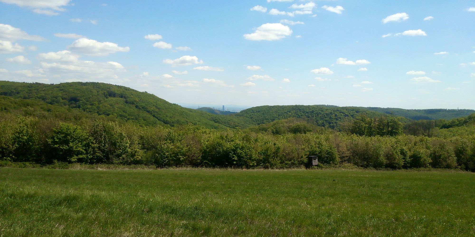
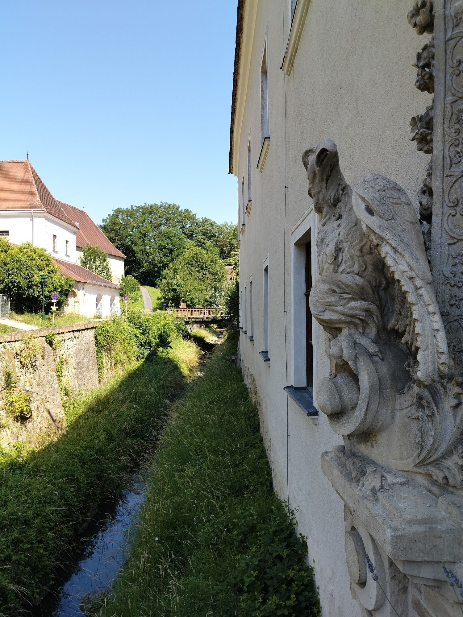
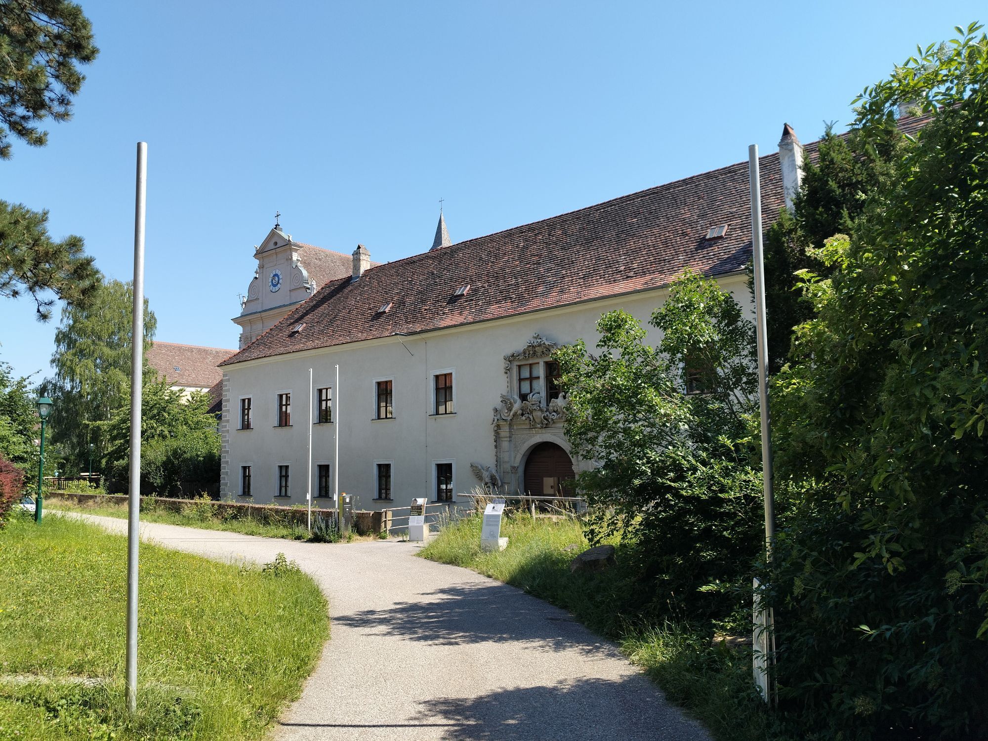
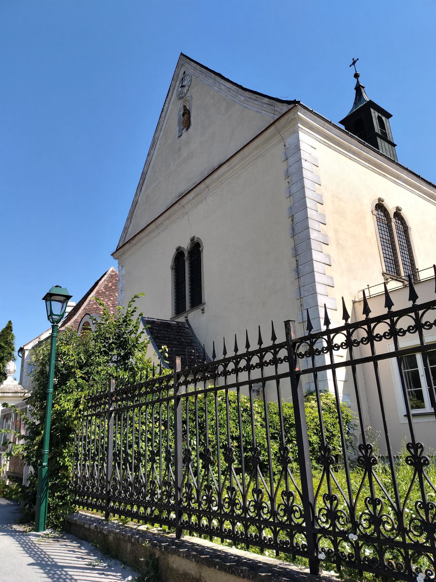
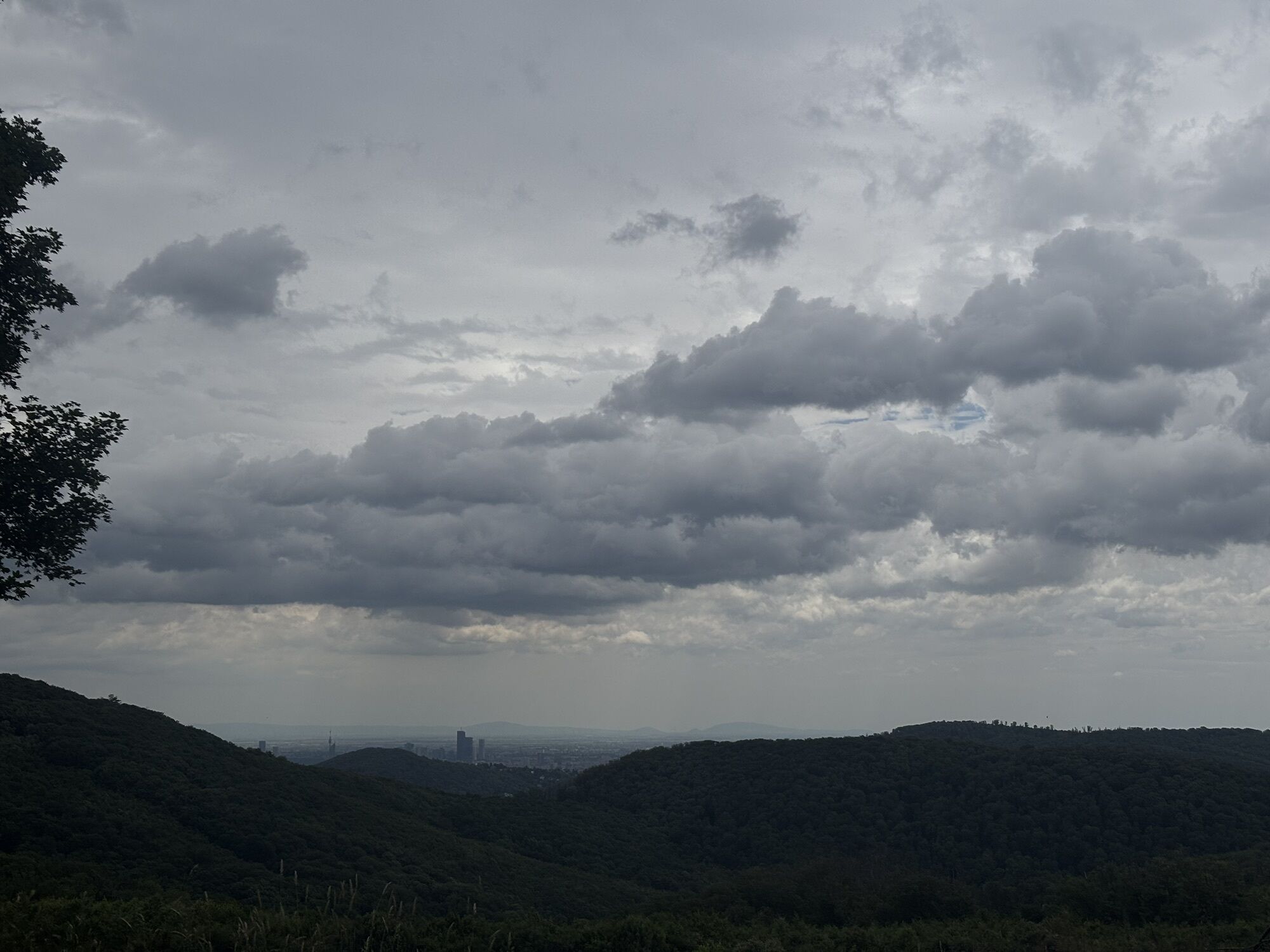
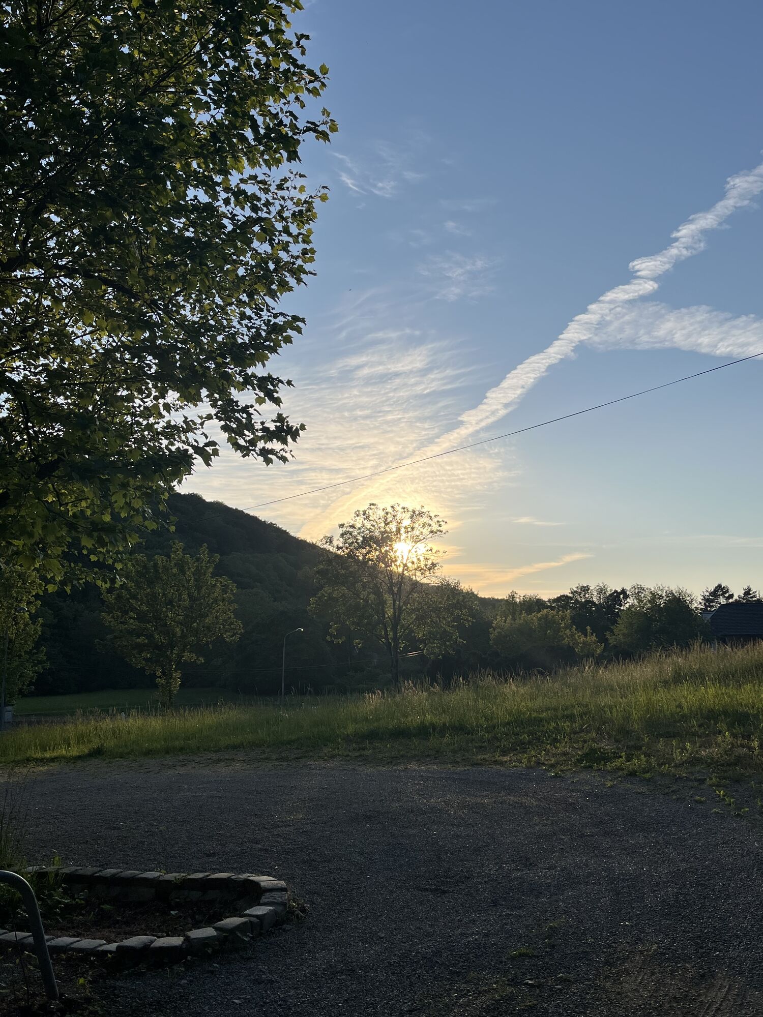
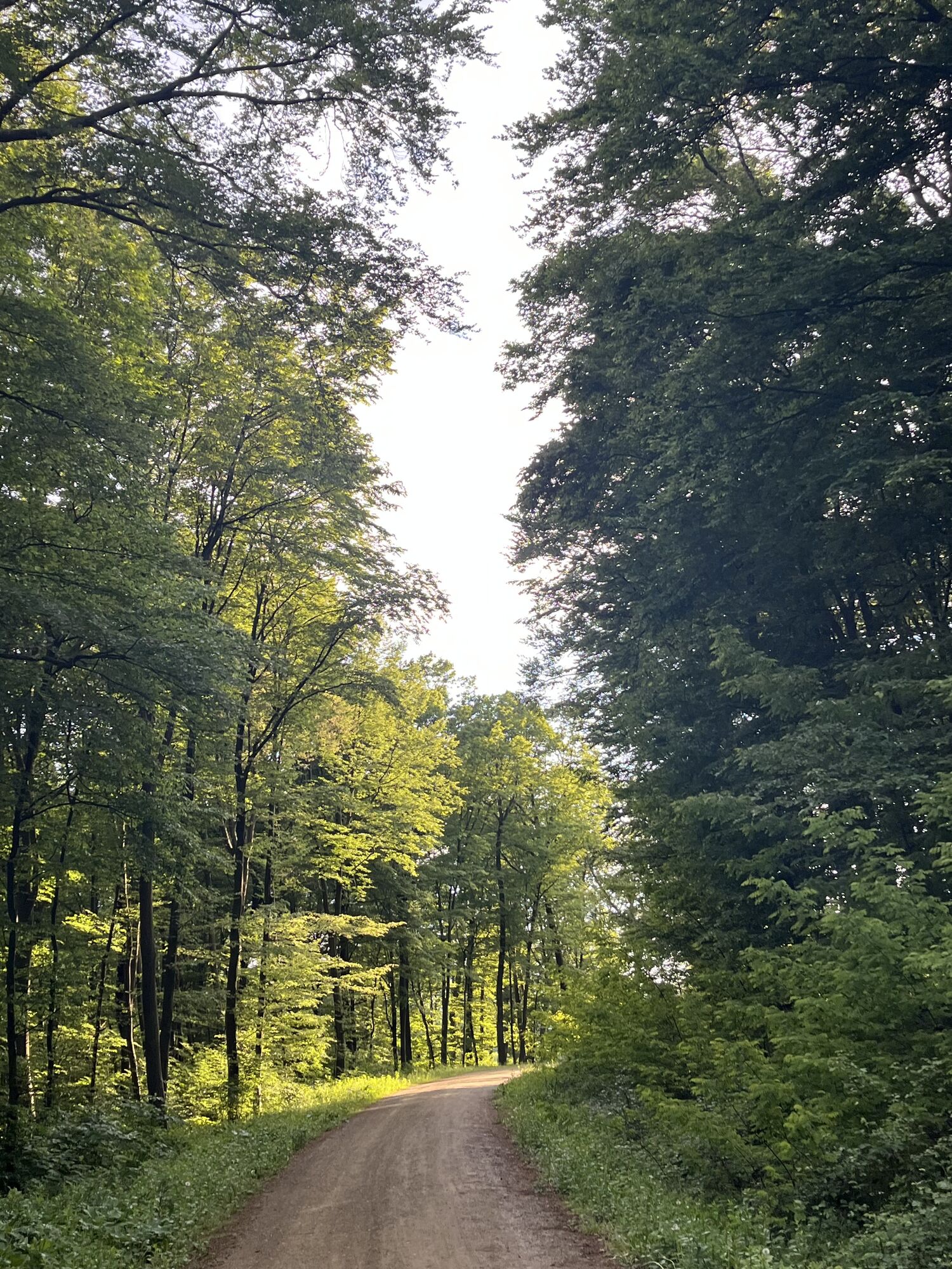
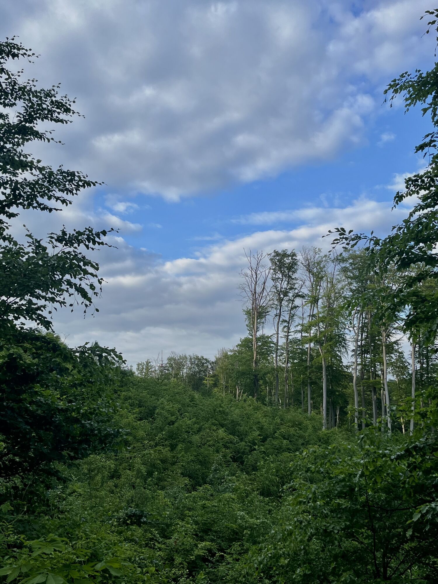
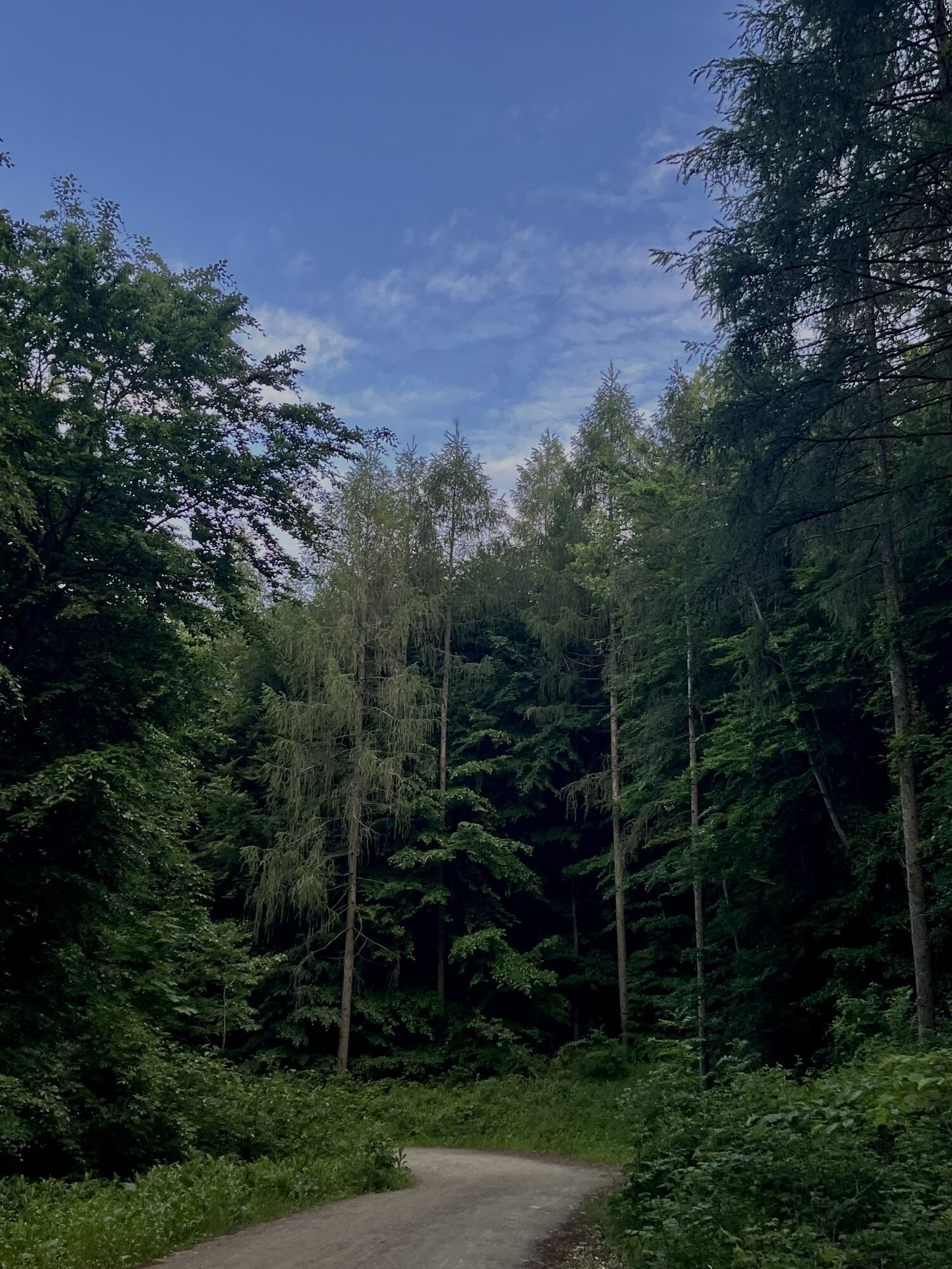
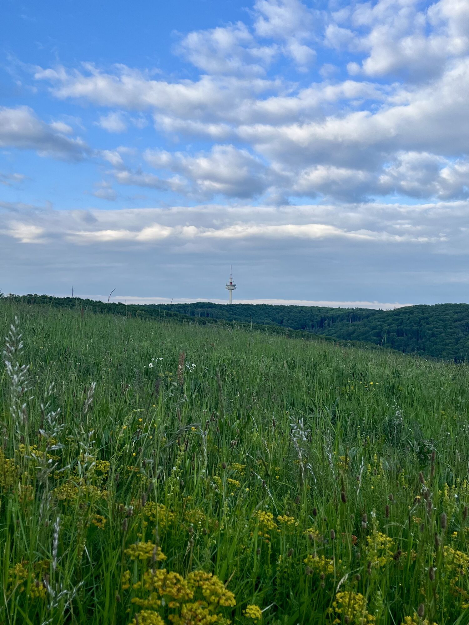
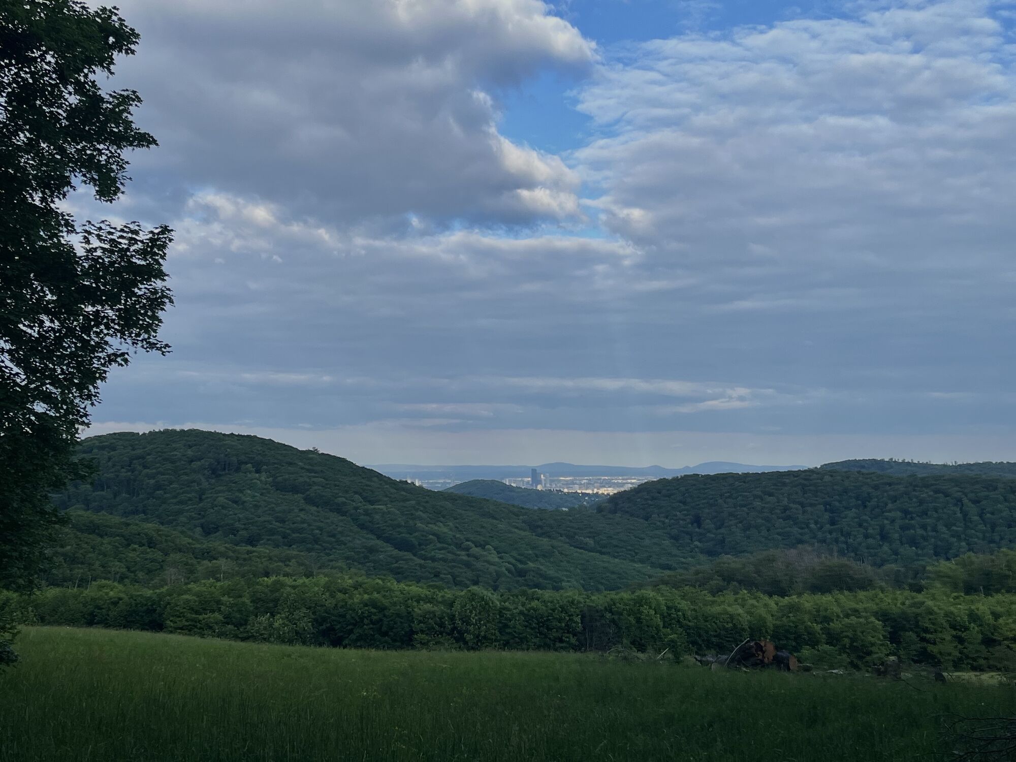
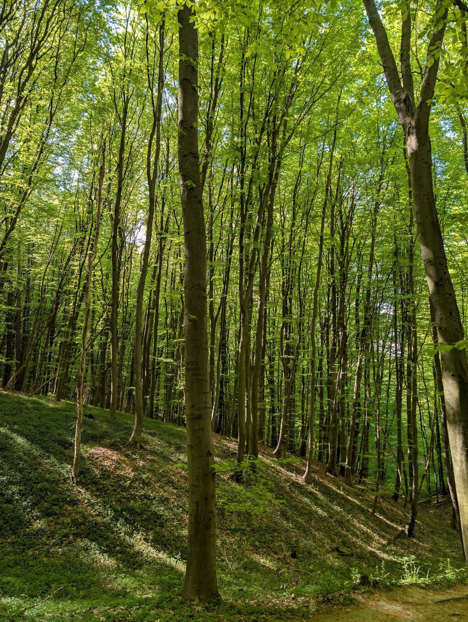
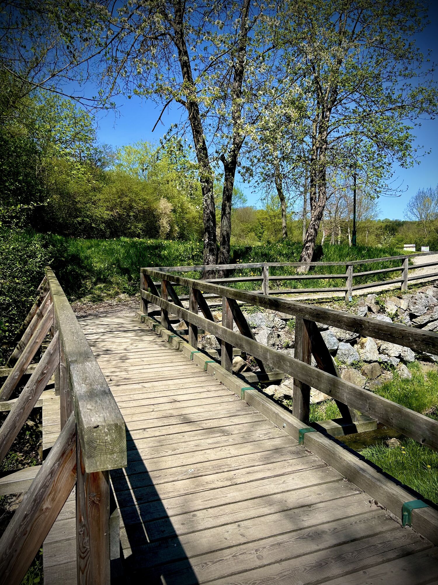
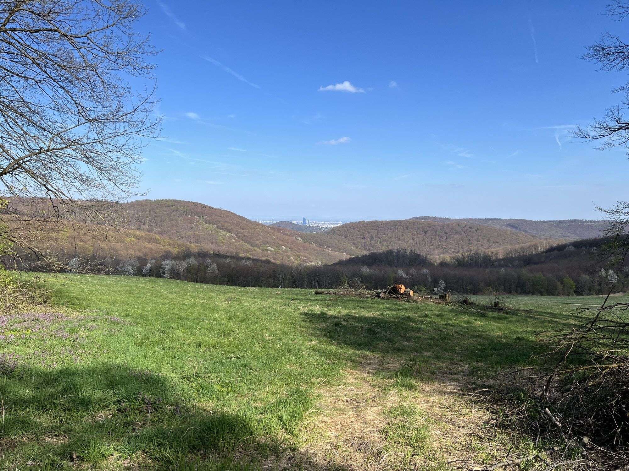
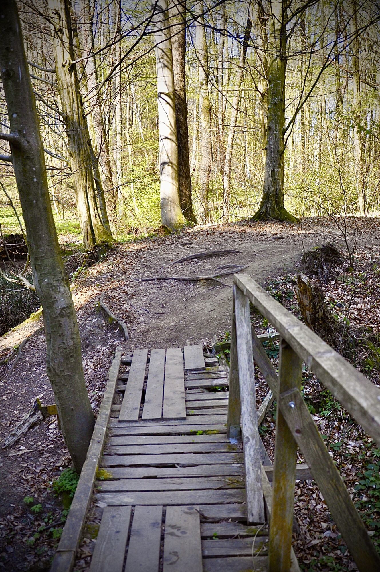
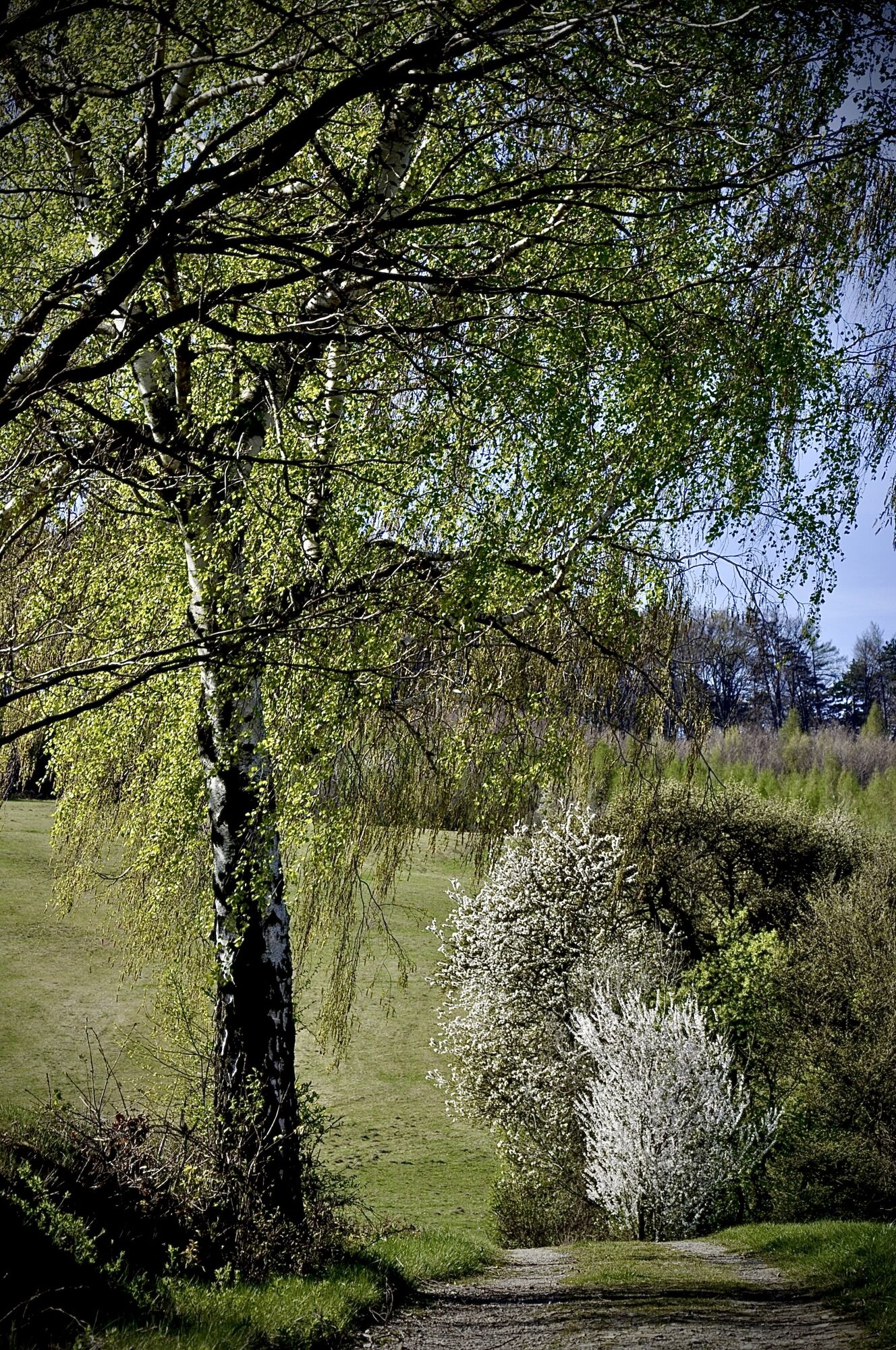
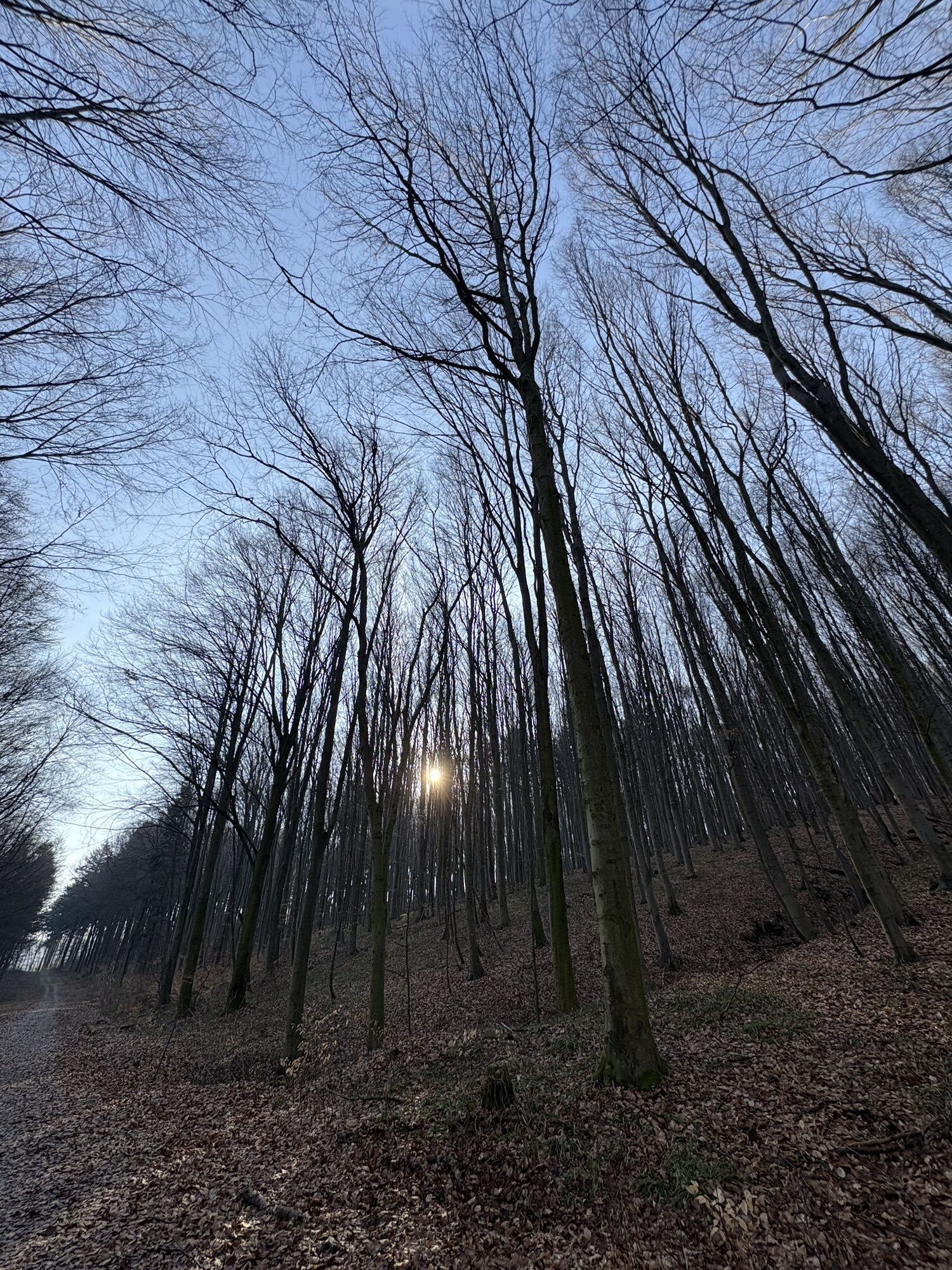
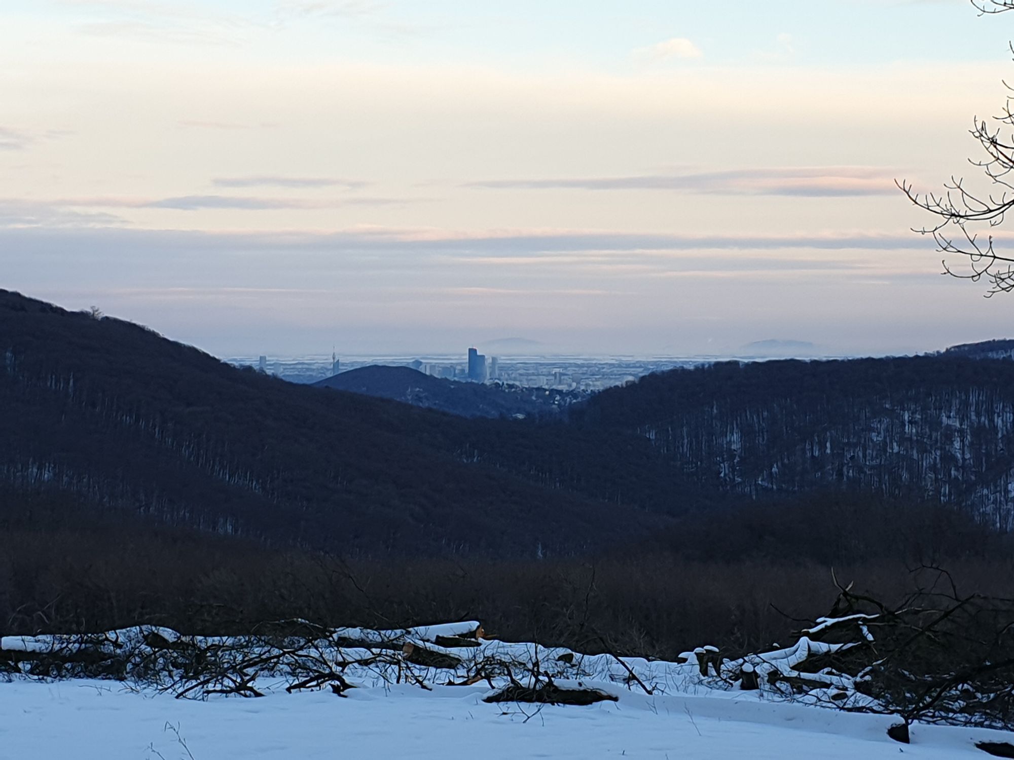
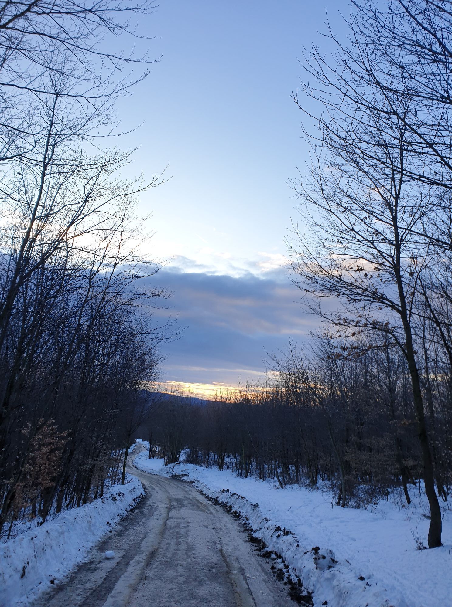
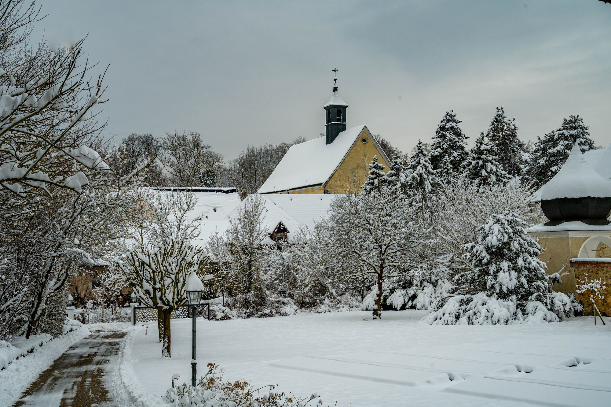
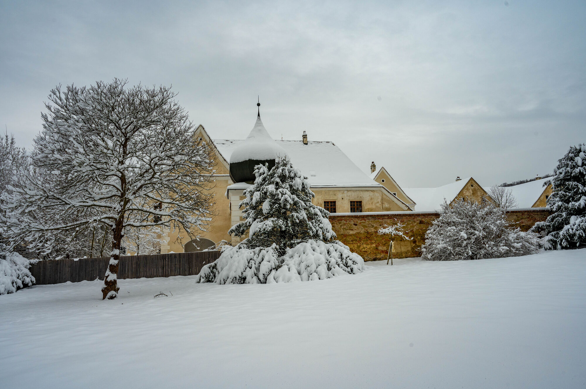
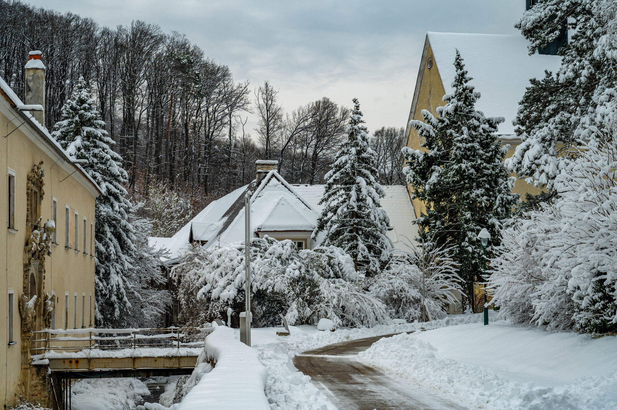
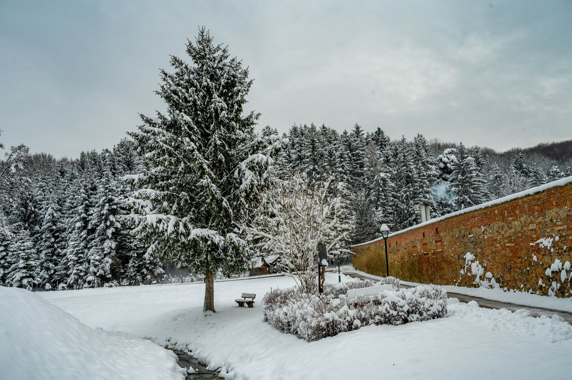
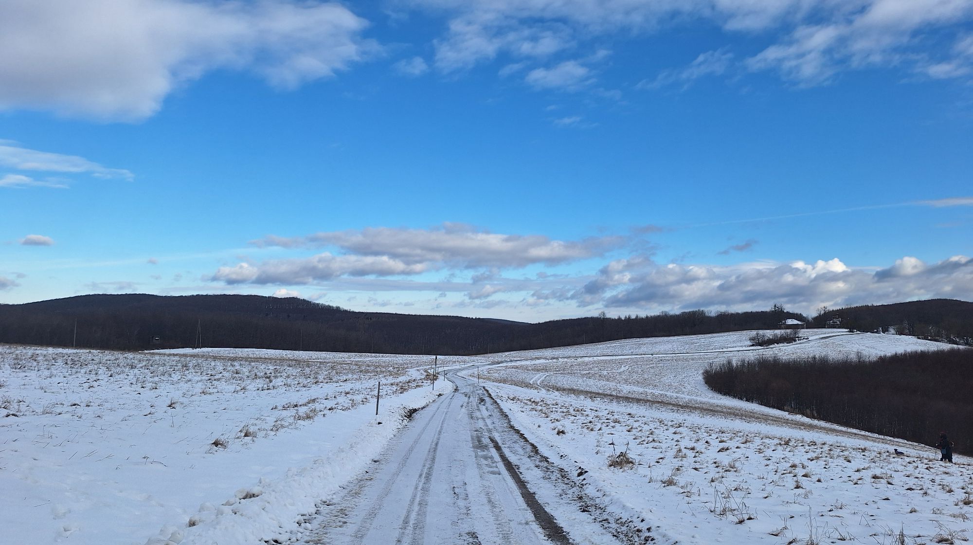
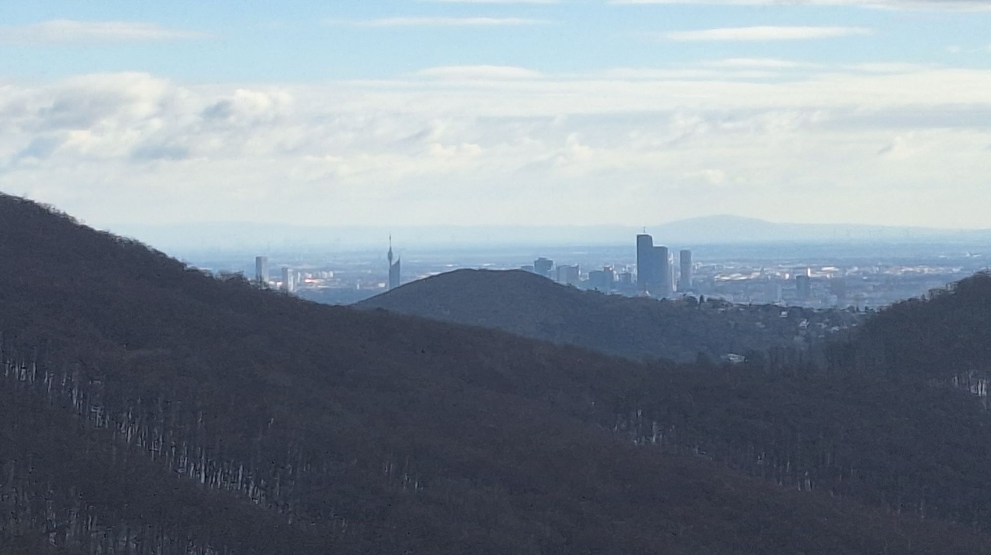
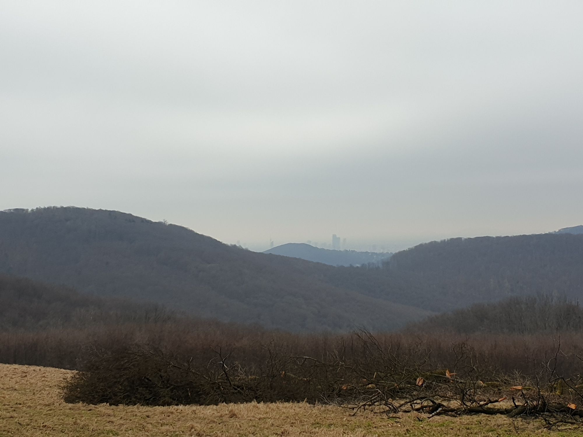
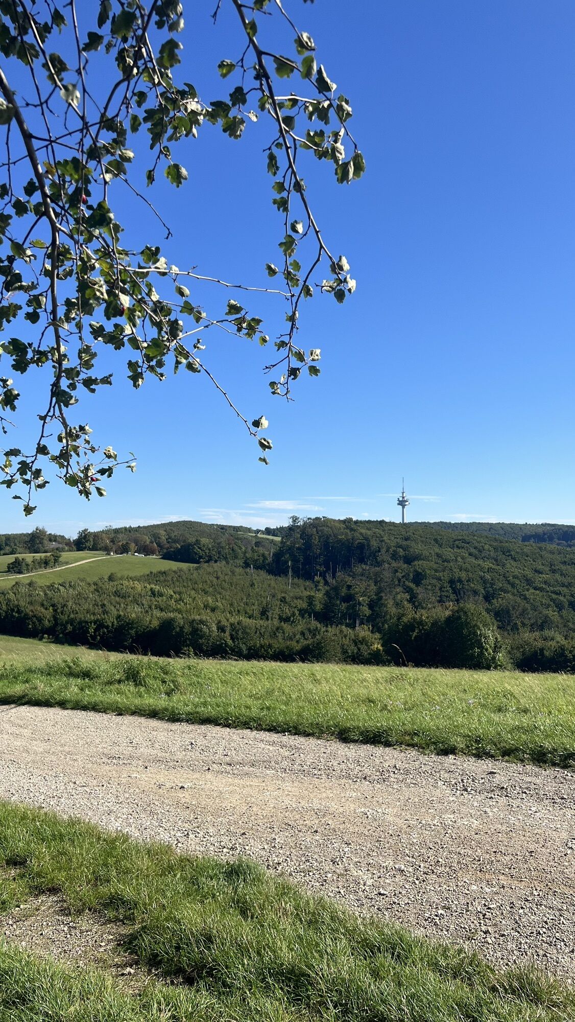
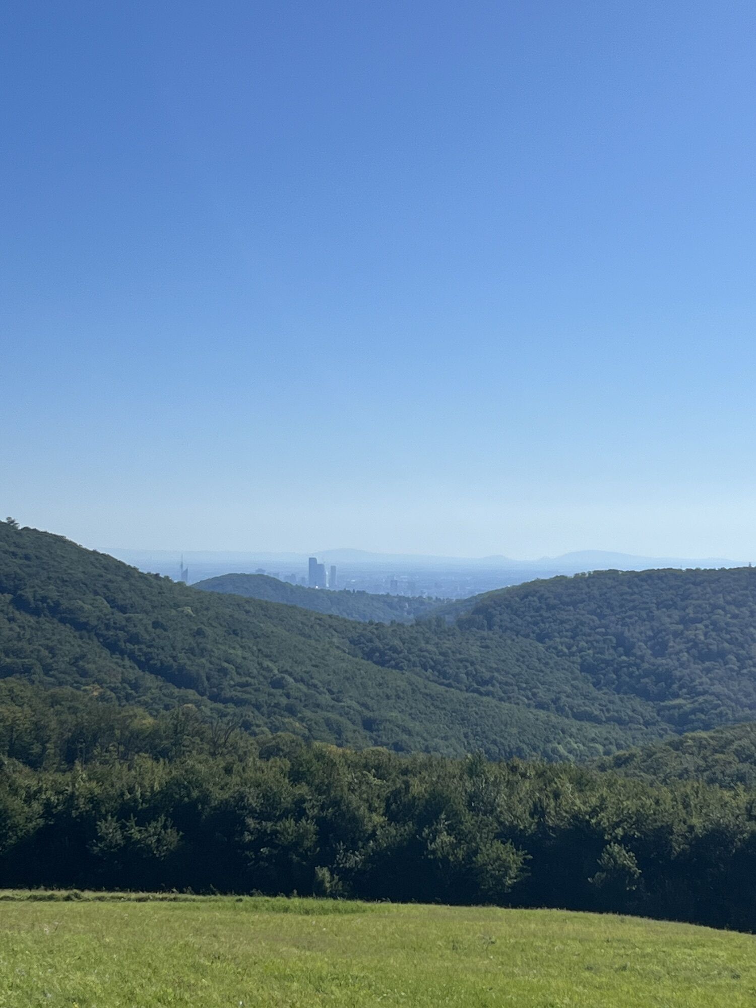
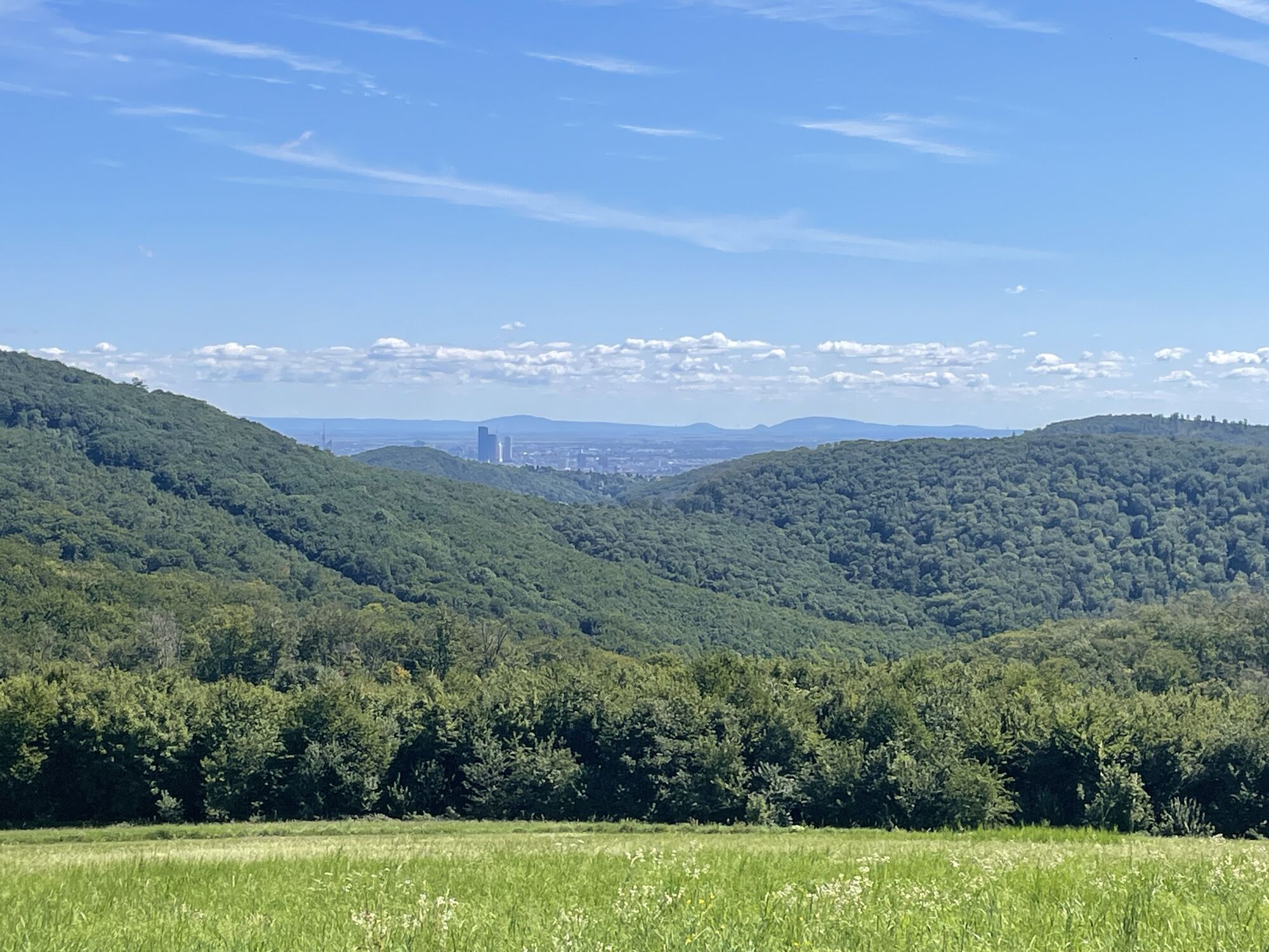
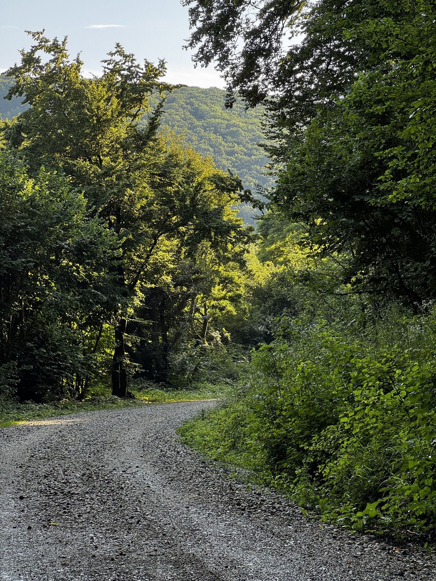
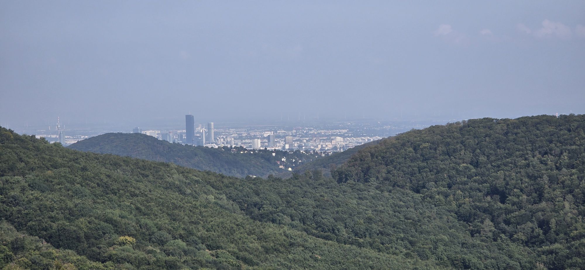
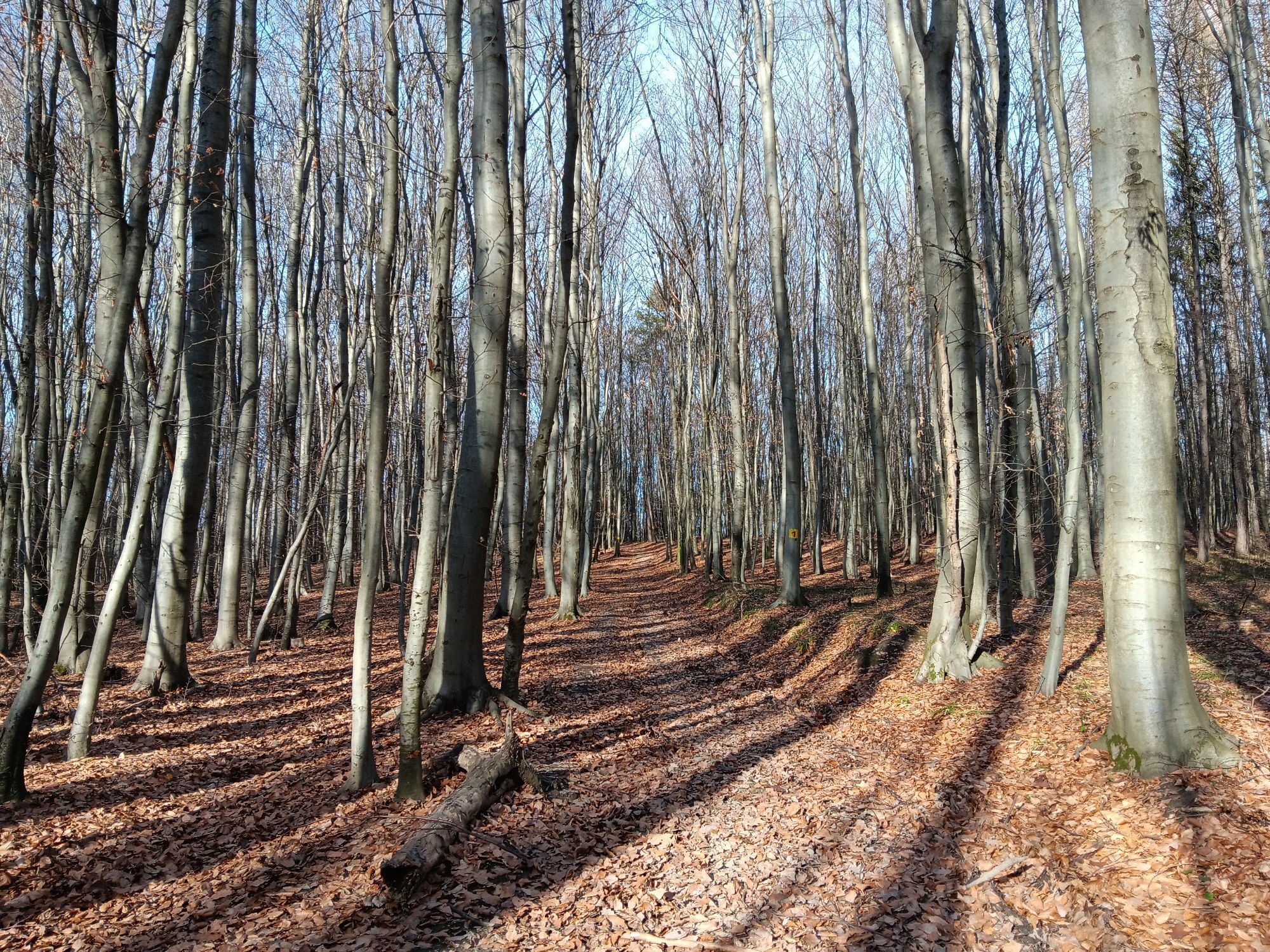
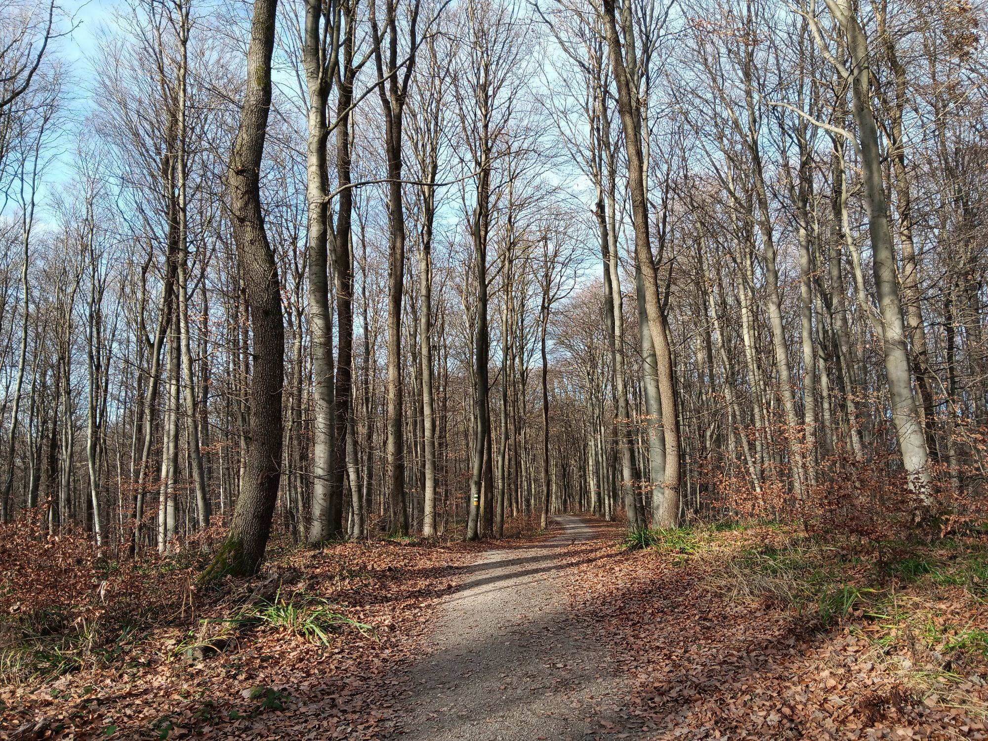
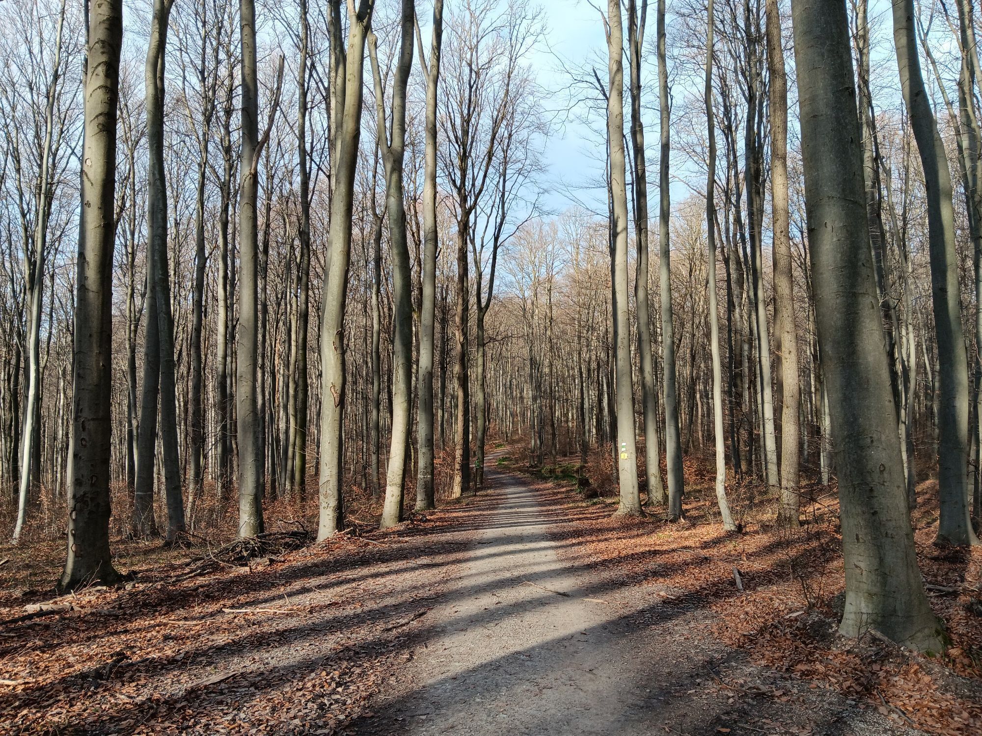
Mauerbach - Scheiblingstein - Sophienalpe - Hadersdorf - Purkersdorf - Gablitz - Laabach - Waldheim - Hirschengarten - Mauerbach

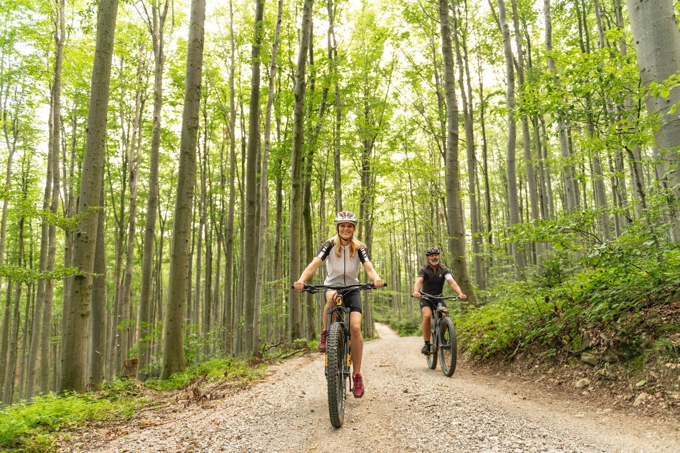

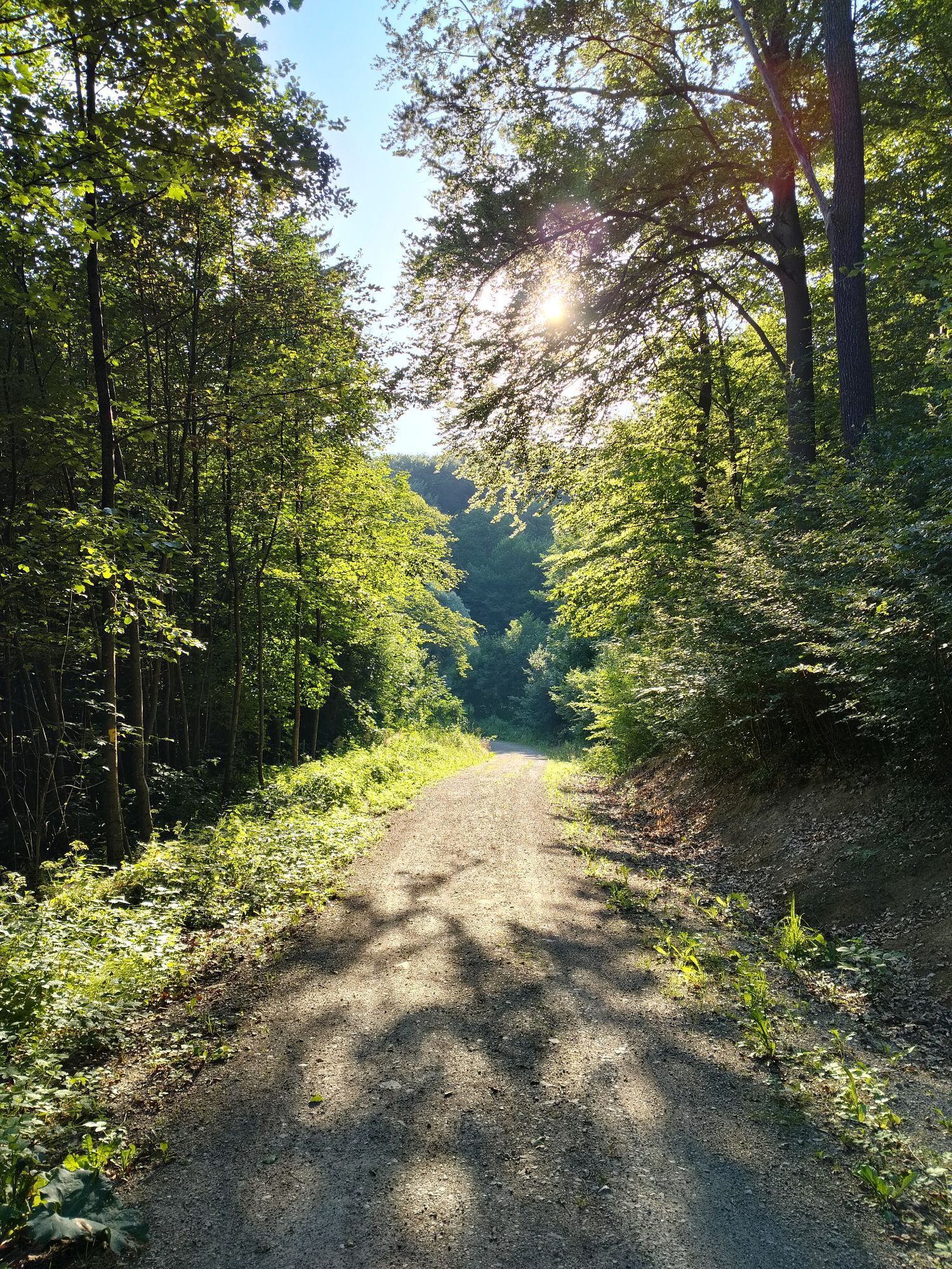
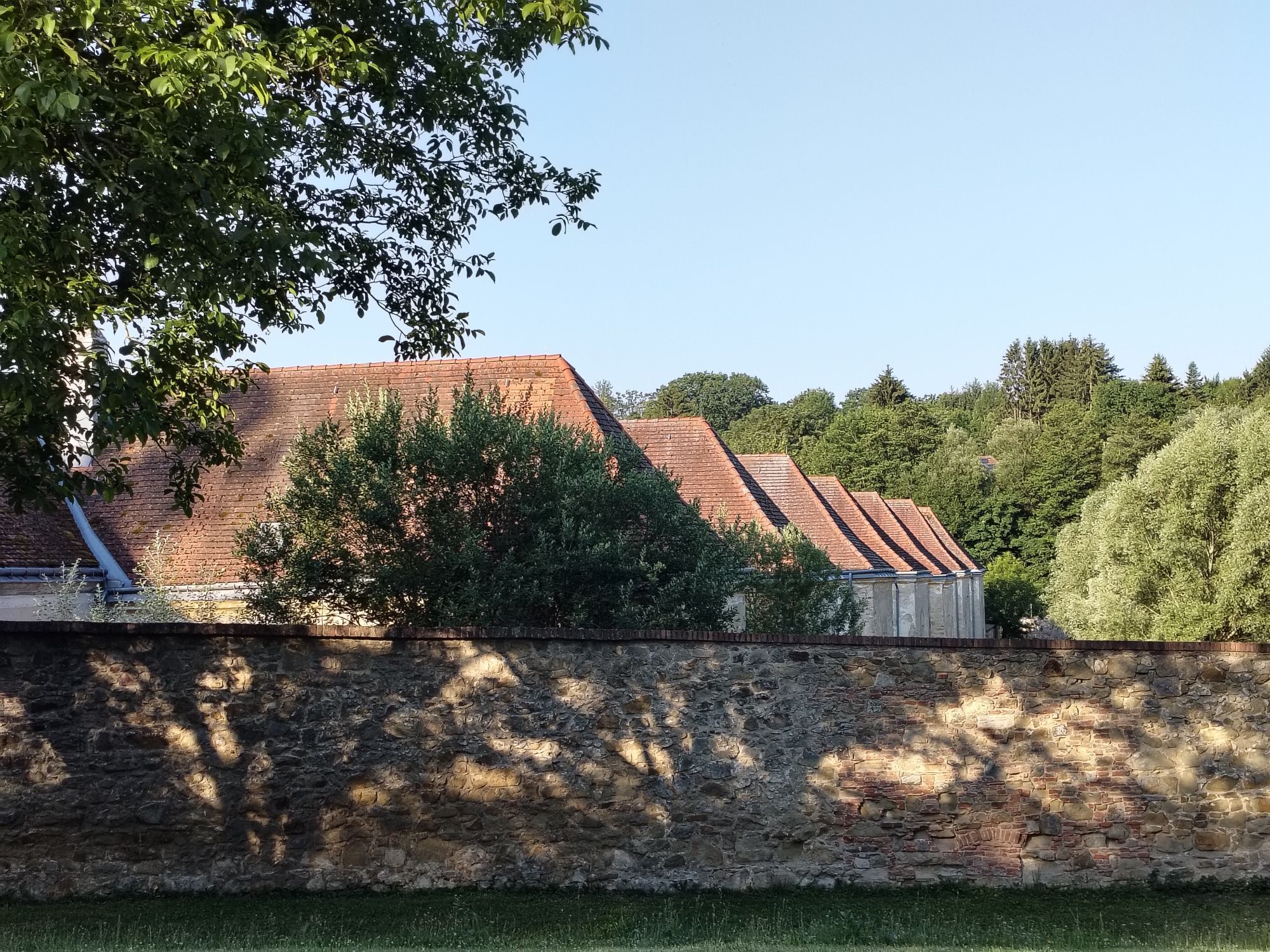
On the Friedhofweg in Mauerbach, we ride into the forest and then turn right over the Scheiblingstein Trail to the Sofienalpe. From there, descend the Kasgraben to Mauerbachstraße and continue to Hadersdorf. We cycle along the railway to Unterpurkersdorf and climb Karlgasse to Augustinerwaldsiedlung, then turn left and after 3 km turn left again down to Gablitz. At Hauersteigstraße, we follow the stream to Laabach, where after 300 m on the B1 we turn right and left towards Teufelswiese. From there, we cycle via Passauerhof and Hirschgarten back to Kartause.
Surface: Asphalt 25%, gravel 58%, forest/meadow 7%
A safe and functional mountain bike is a requirement for all routes. Helmet and gloves protect you in case of falls and can be supplemented with knee and elbow guards on single/shared trails. A modern mountain bike with disc brakes and adequate tire tread is recommended. For single and shared trails from the red difficulty level, a full suspension bike with modern geometry is recommended. Tools, tire levers, pump, and spare tube help in case of a breakdown. Sufficient provisions (drinks and food) should also be carried along with a mobile phone and wind/rain jacket.
Attention! Due to forestry work in the Hahnbaumberg area, the route is temporarily closed!
Before each ride, check the functionality of brakes, tires, and suspension fork/shock. Always ride with hazard awareness and controlled speed, and adjust route choice to the group's riding skill and the terrain. The Fair Play rules must be observed at all times. Single/shared trails as well as built routes in trail parks and trail centers feature increased stones, roots, steep sections, steps, and banked turns that require certain riding skills. When in doubt, simply get off and push the bike.
Coming from Vienna, take the B1; turn right at Wientalstraße, then left at Mauerbachstraße, and follow Mauerbachstraße/Forststraße/Hauptstraße to Mauerbach.
Coming from the west, take the A1 and B1 to Wientalstraße, turn left there, then left at Mauerbachstraße, and follow Mauerbachstraße/Forststraße/Hauptstraße to Mauerbach.
Coming from the south, take the A2 and A23 to the exit for the B224; follow the B224 to the B1; take the B1 to Wientalstraße; turn right there; turn left at Mauerbachstraße; and follow Mauerbachstraße/Forststraße/Hauptstraße to Mauerbach.
Travel Advice: Please check the route to the meeting point in advance and allow plenty of time. Be aware of possible traffic delays, road construction, or public transportation disruptions.
Parking Information: Please follow local parking regulations and check for any parking fees or time restrictions. We recommend checking the parking situation in advance to ensure a stress-free arrival.
The elevation data for this route were calculated based on the A-MAP. Due to different map bases from routing/navigation apps and devices, slightly different figures are inevitable. More information can be found in the following blog post!
Wienerwald Tourismus GmbH
Hauptplatz 11, 3002 Purkersdorf
Tel. +43/2231/621 76
E-mail: office@wienerwald.info
Website: www.wienerwald.info
Information on possible excursion destinations:
MauerbachGablitzPurkersdorfDining options with award:
Schlosspark MauerbachDining options:
Zum SchreiberKartausen CafeLandgasthaus ScheiblingsteinPopularne wycieczki w okolicy
-
4,8
Stadtwanderweg 1
światłoWędrówka 11,1 km -
4,8
Stadtwanderweg #2, Hermannskogel, Top of Vienna 😆
światłoWędrówka 11,1 km -
4,8
Stadtwanderweg 1a - Leopoldsberg / lt. Beschilderung
średniWędrówka 10,2 km -
4,7
Königstetten-Figlwarte-Hainbuch-Königstetten
średniWędrówka 9,30 km -
4,6
Naturpark Sparbach
światłoWędrówka 7,08 km -
4,6
Nasenweg Leopoldsberg Rundweg
średniWędrówka 4,08 km -
4,6
Stadtwanderweg 6 / Zugberg - Maurer Wald (lt. Beschilderung)
światłoWędrówka 13,3 km -
4,6
Abend/Nachtwanderung Teufelstein
światłoWędrówka 7,15 km -
4,5
Stadtwanderweg 4
światłoWędrówka 8,48 km -
4,6
Rundwanderung Gablitz Gemeindeamt - Troppberg - Rabenstein - Gablitz Gemeindeamt
światłoWędrówka 12 km
Wędrówki i tropienie


Nie przegap ofert i inspiracji na następne wakacje
Twój adres e-mail została dodana do listy mailingowej.





