






Hameau route
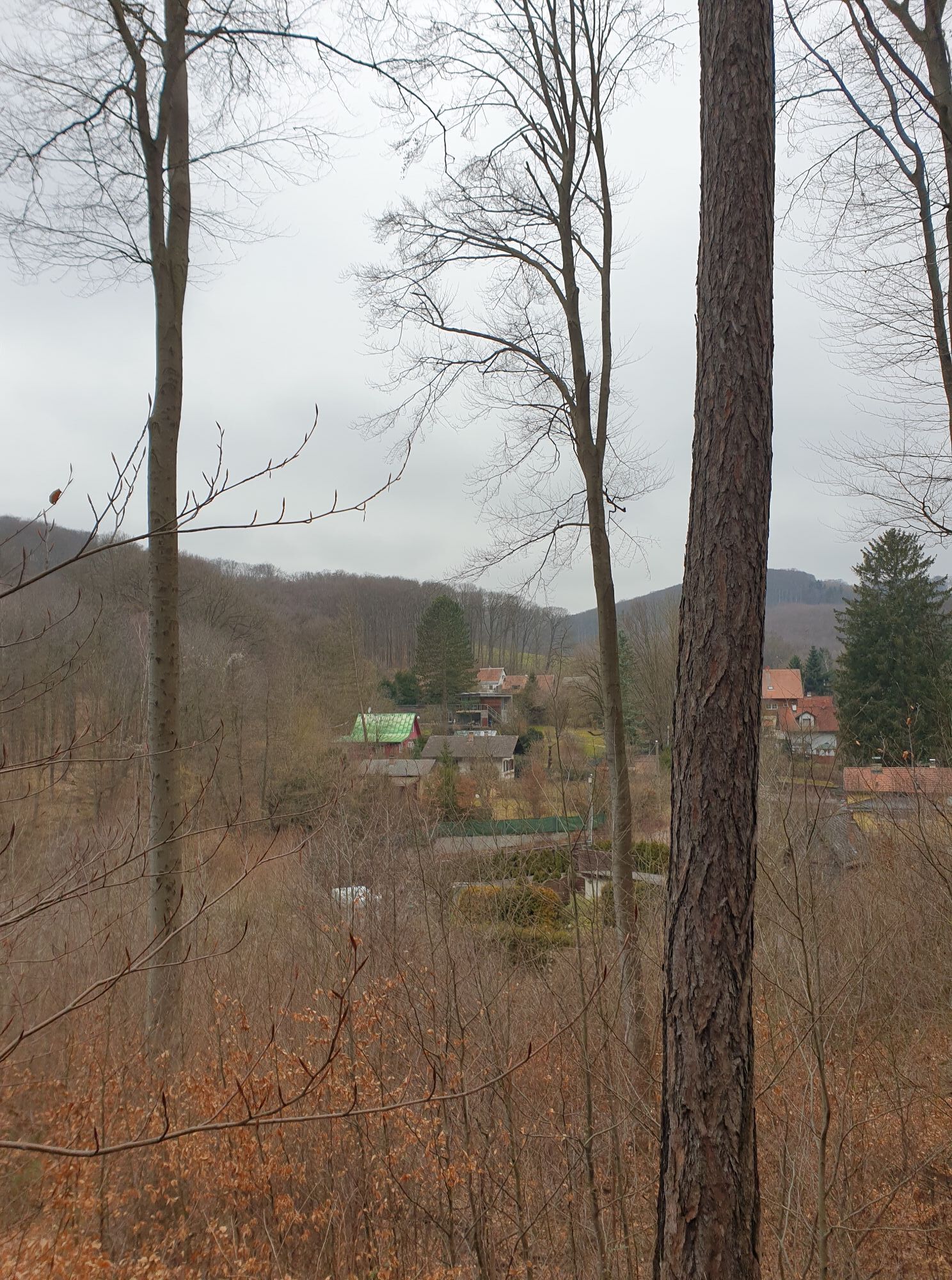
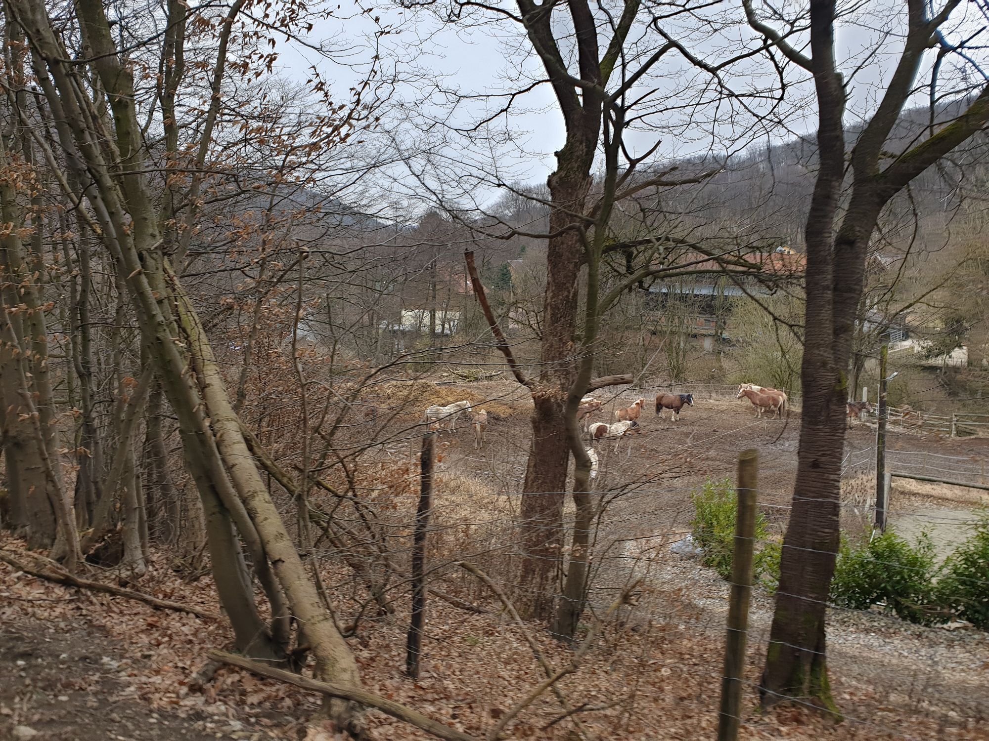
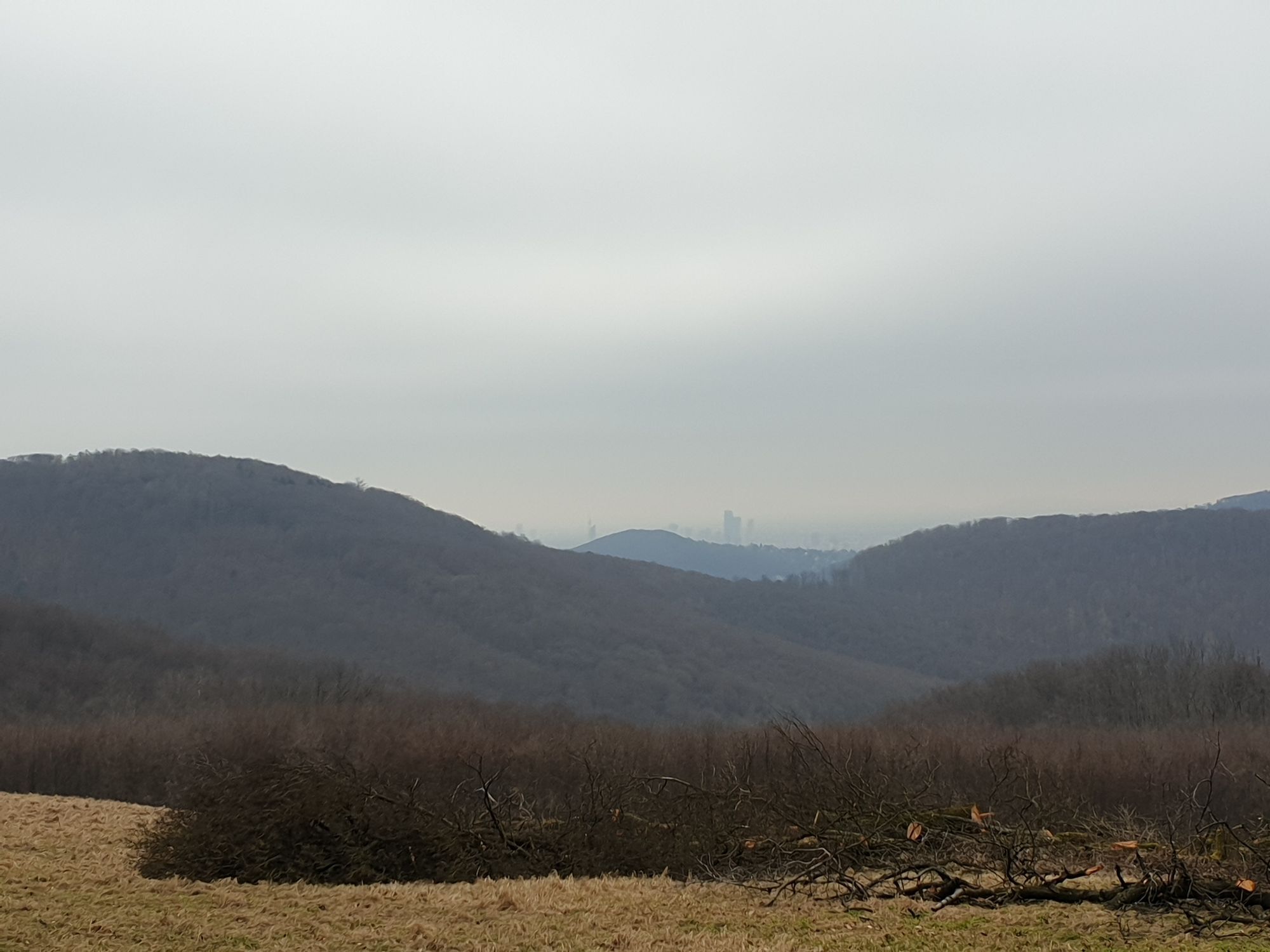
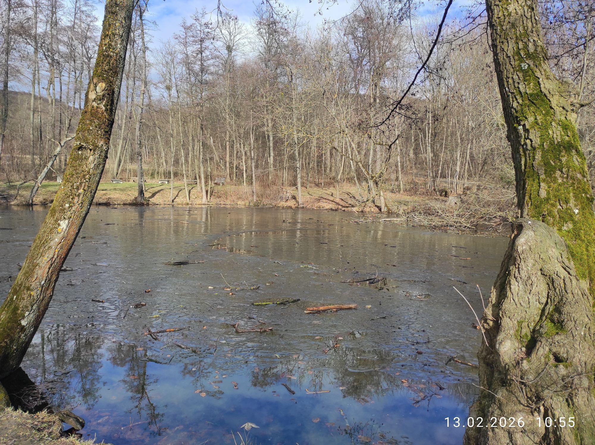
The ongoing maintenance of this route is supported by MOUNTAINBIKER.at.
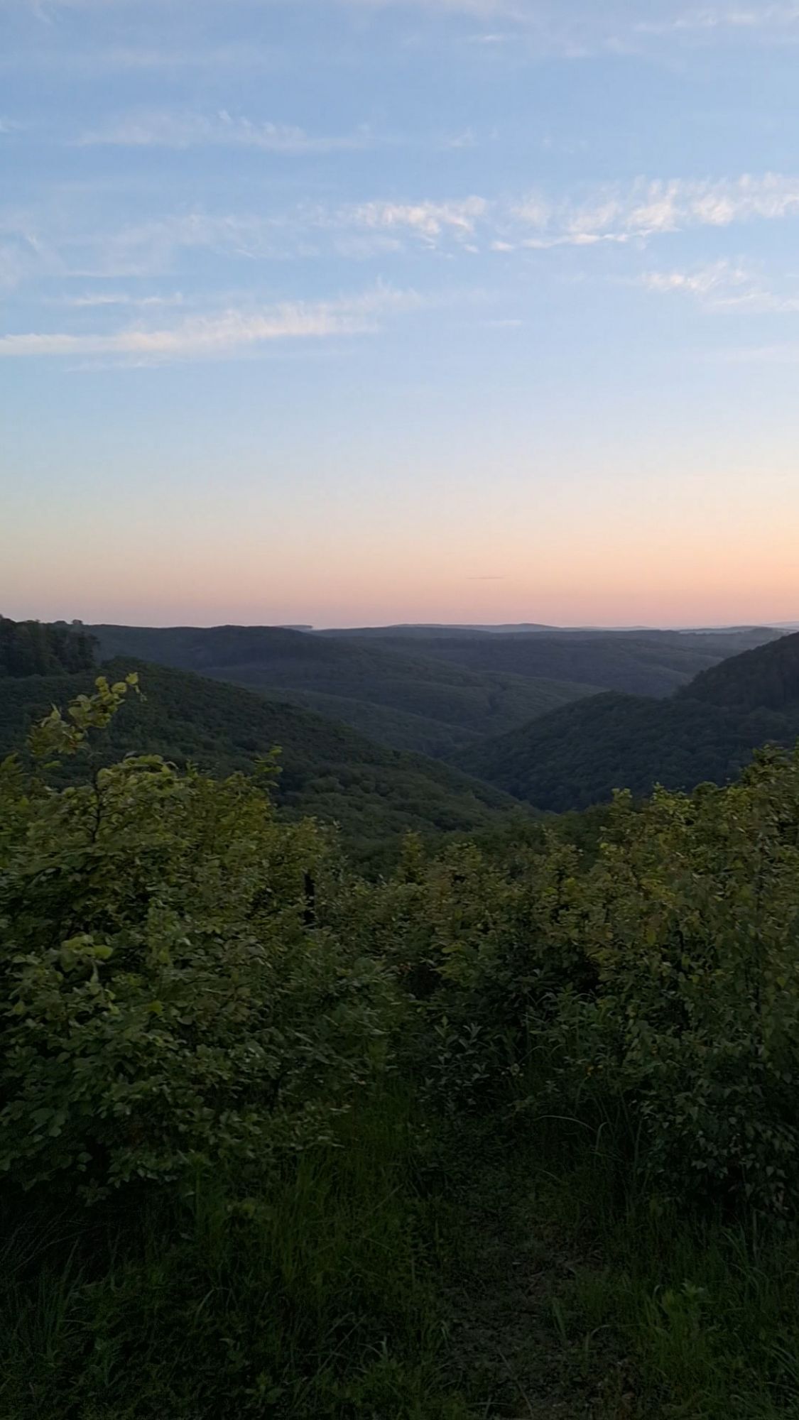
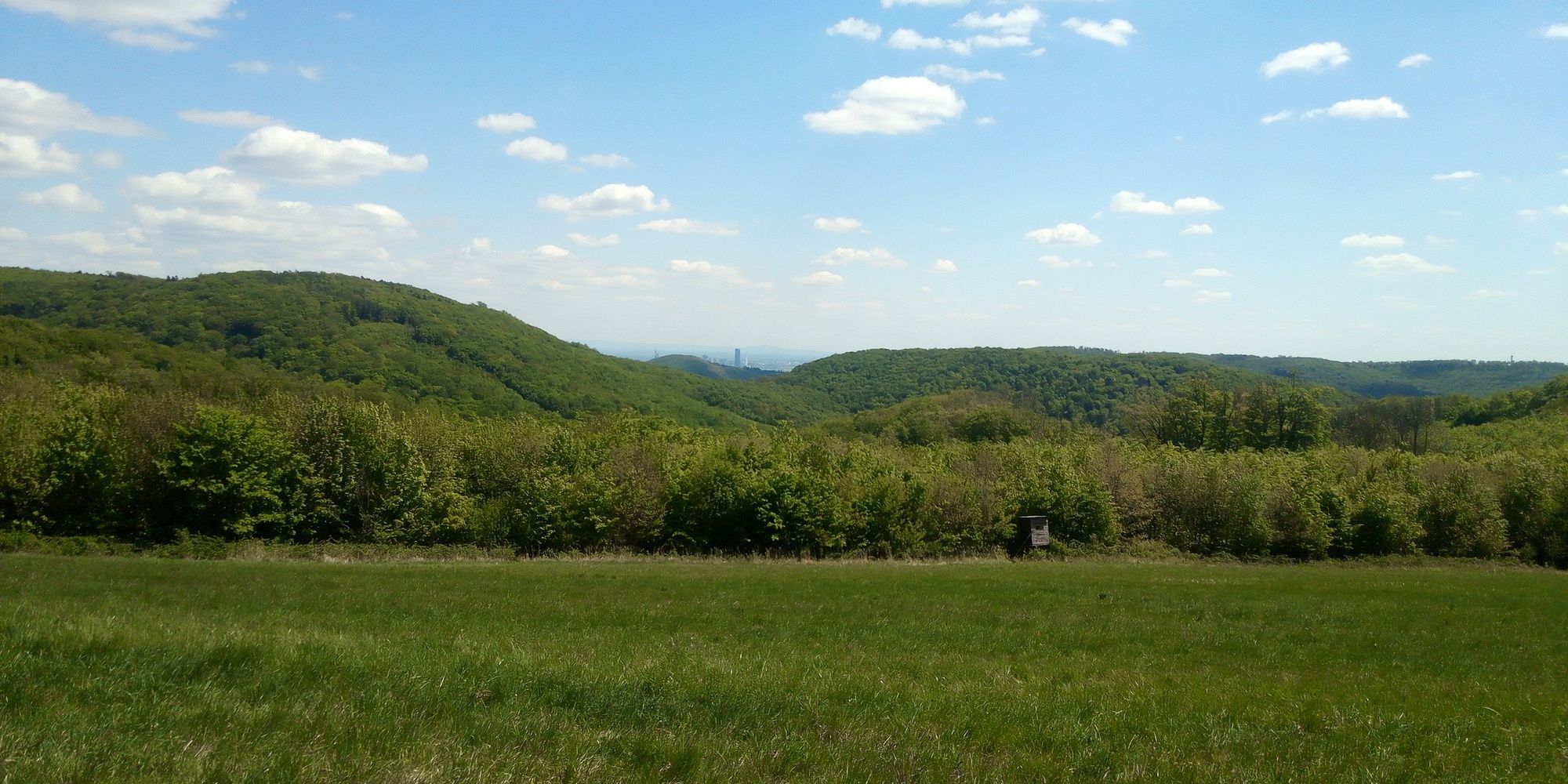
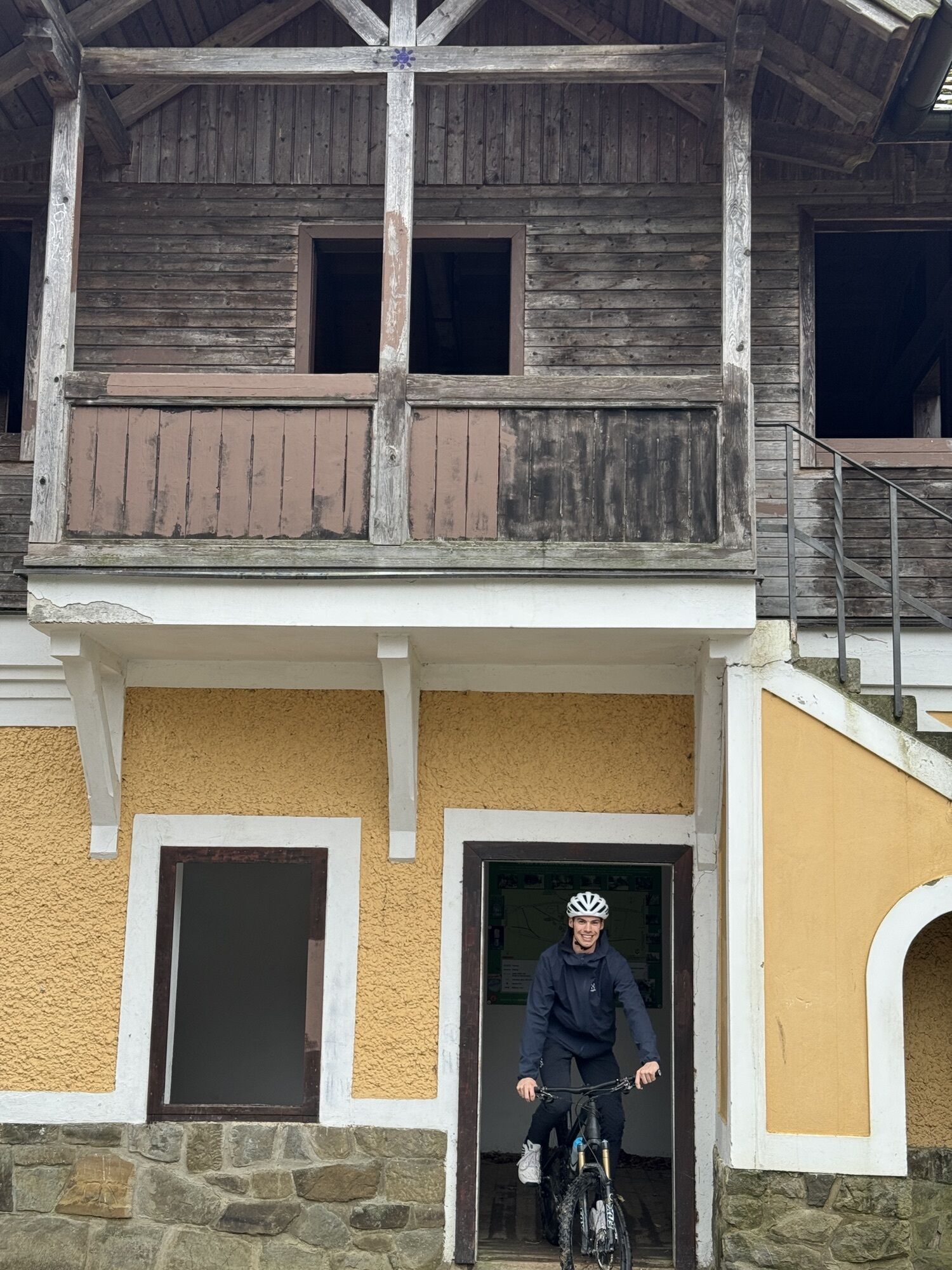
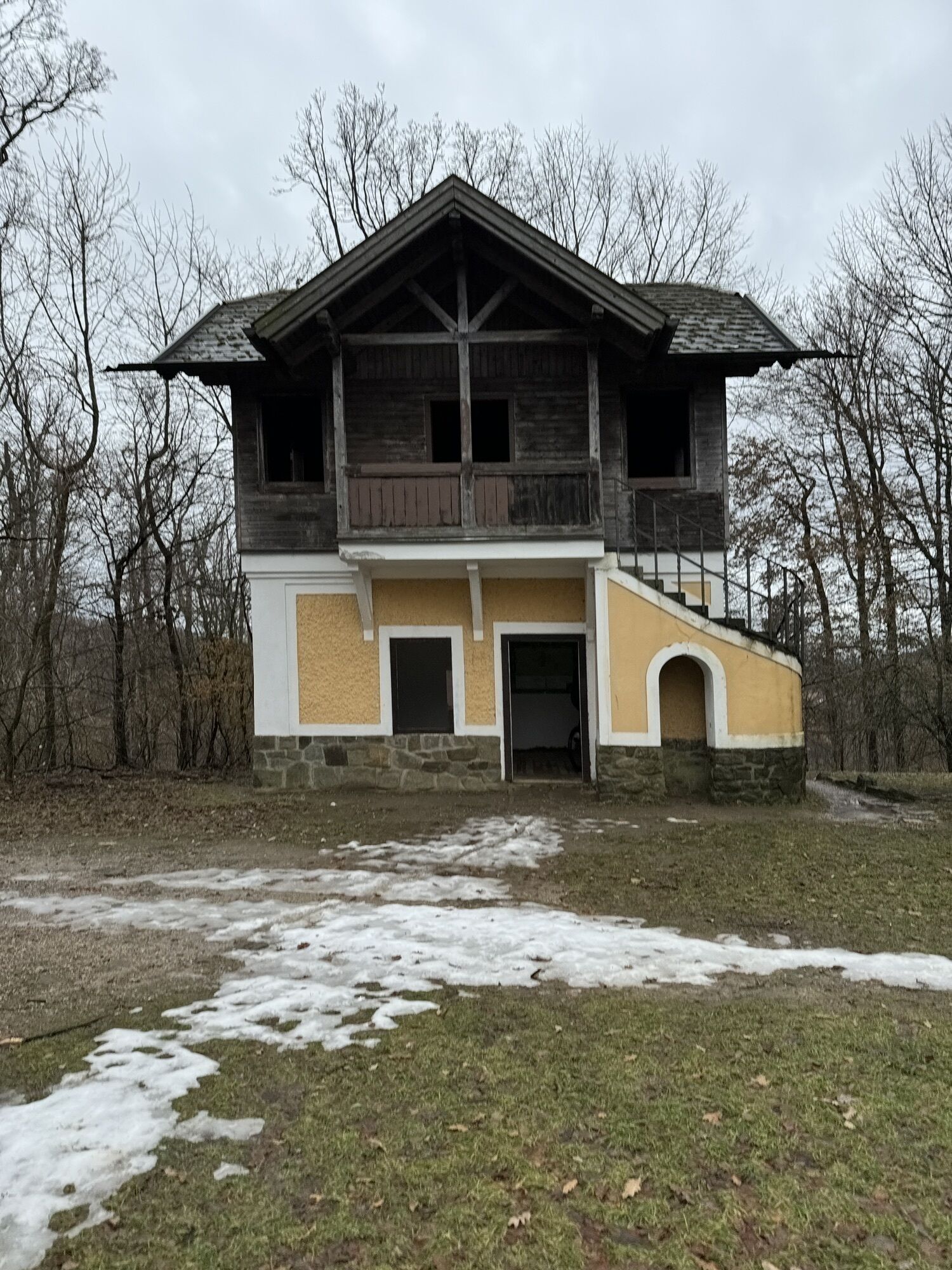
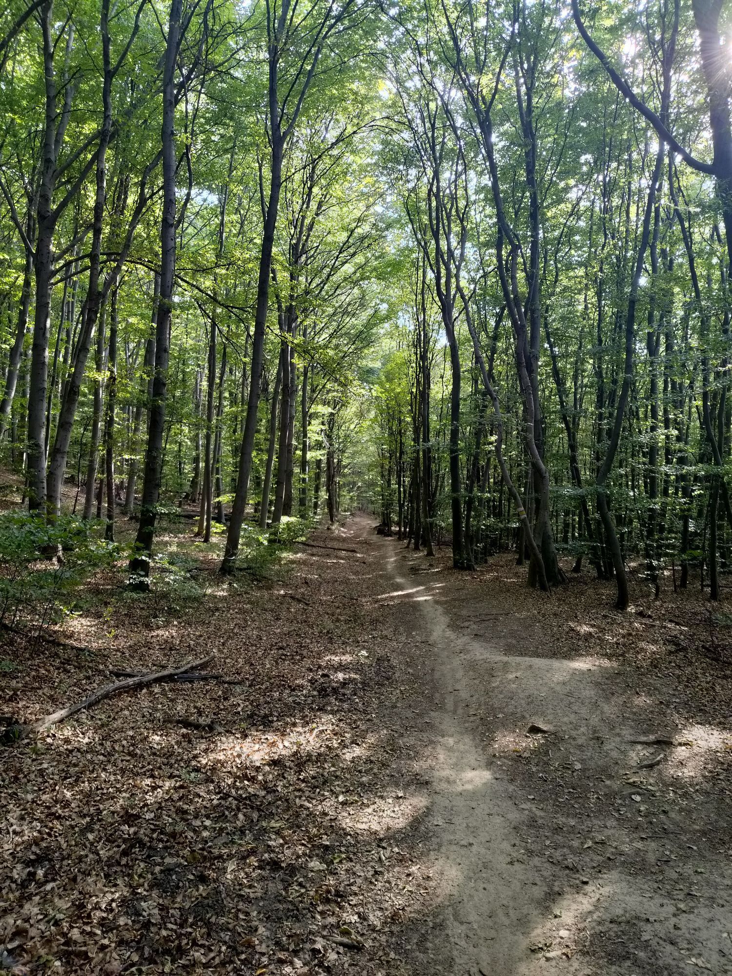
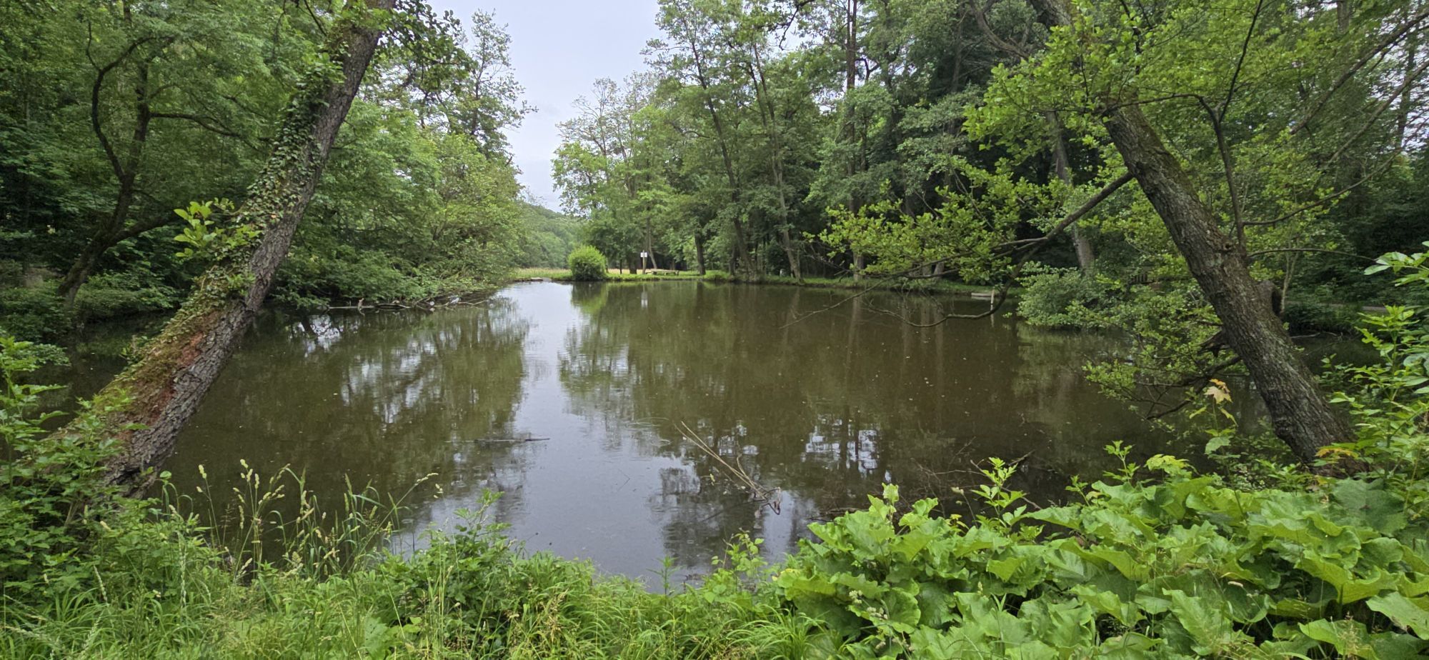
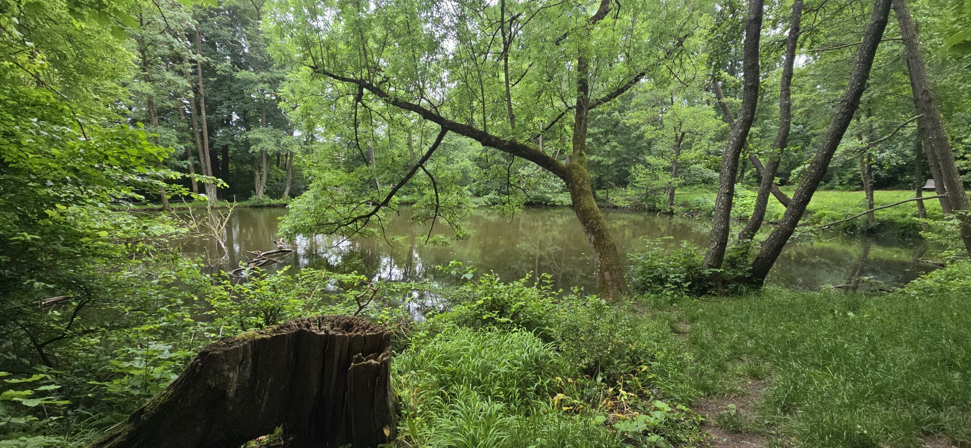
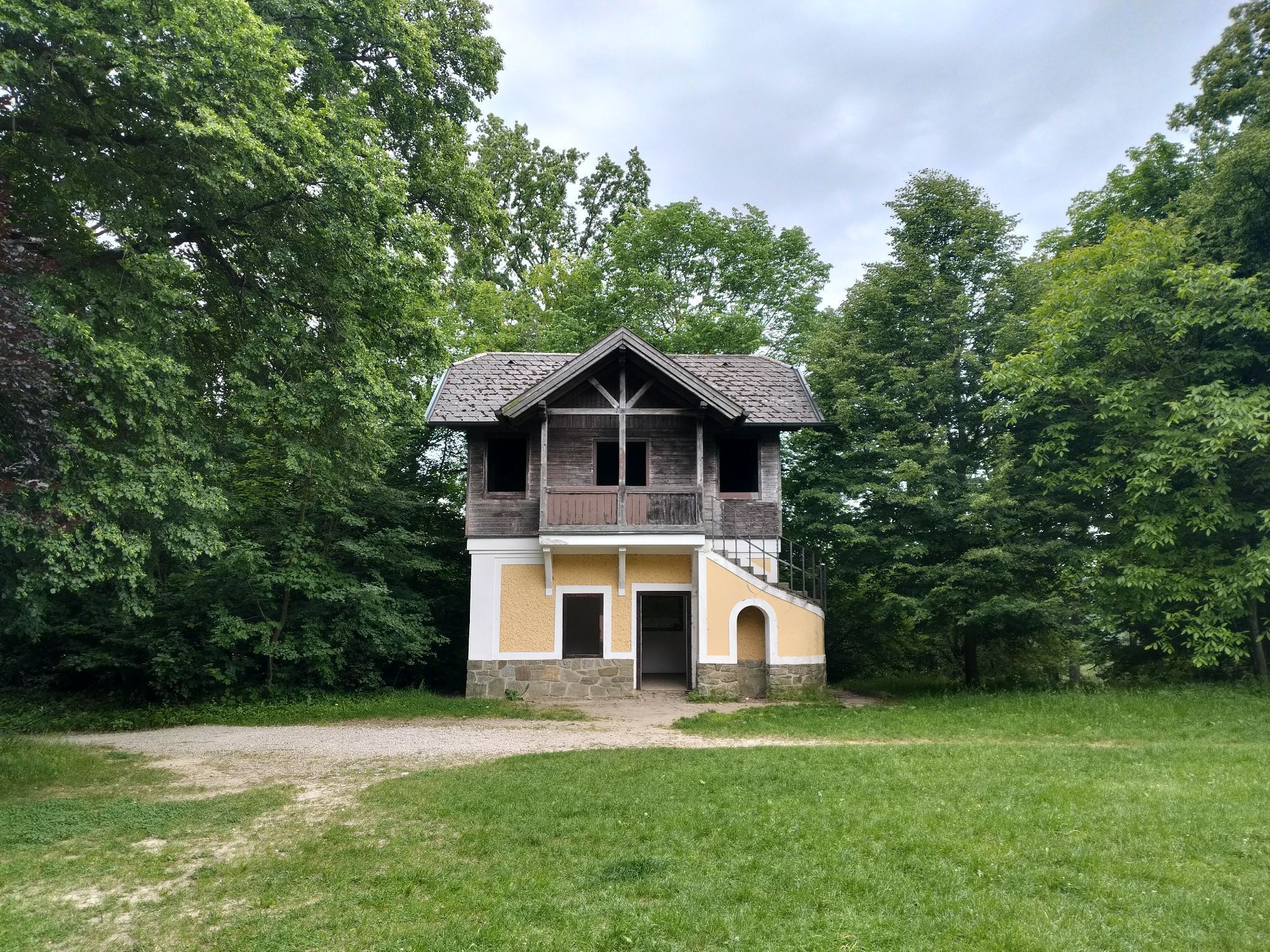
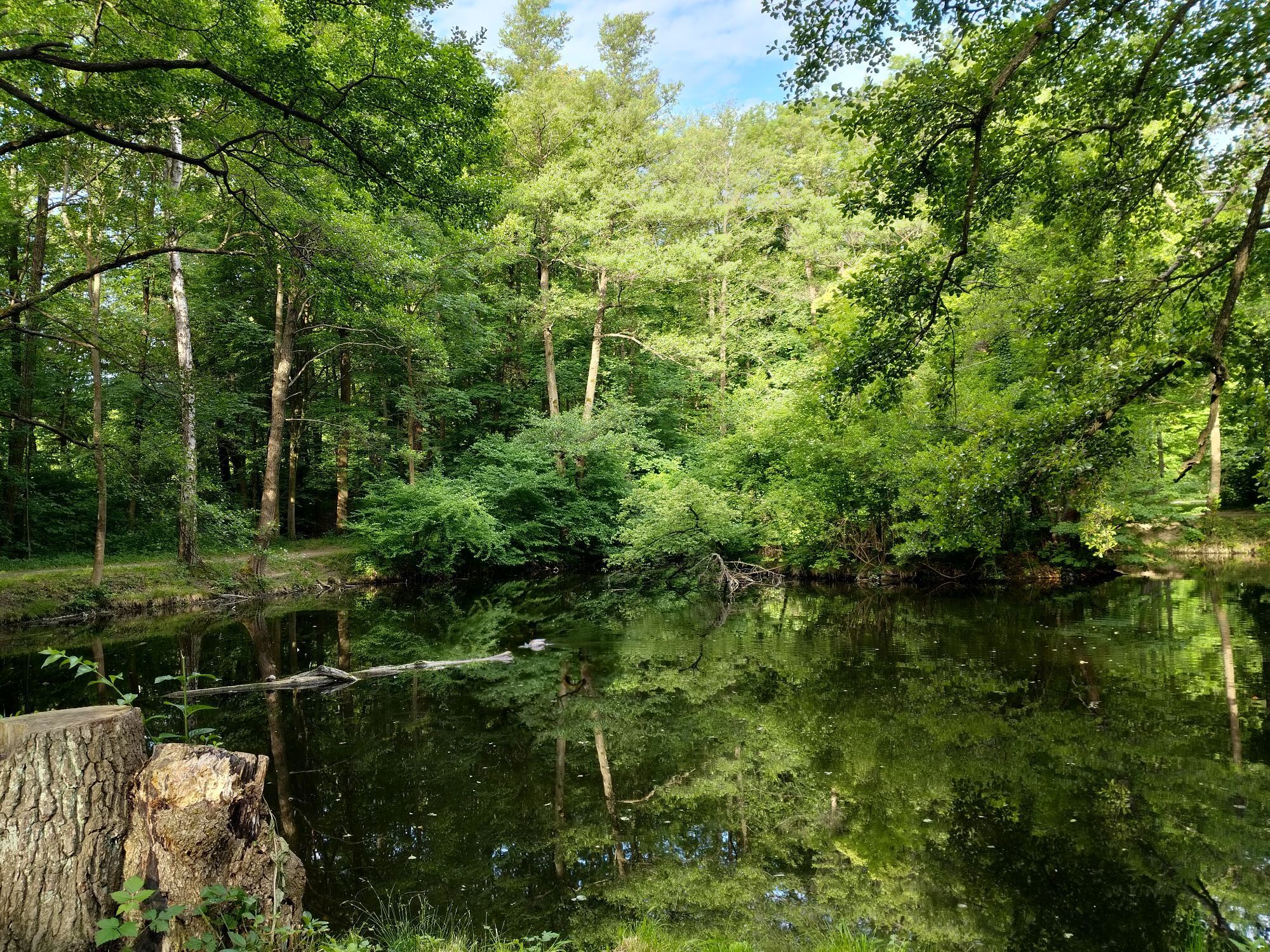
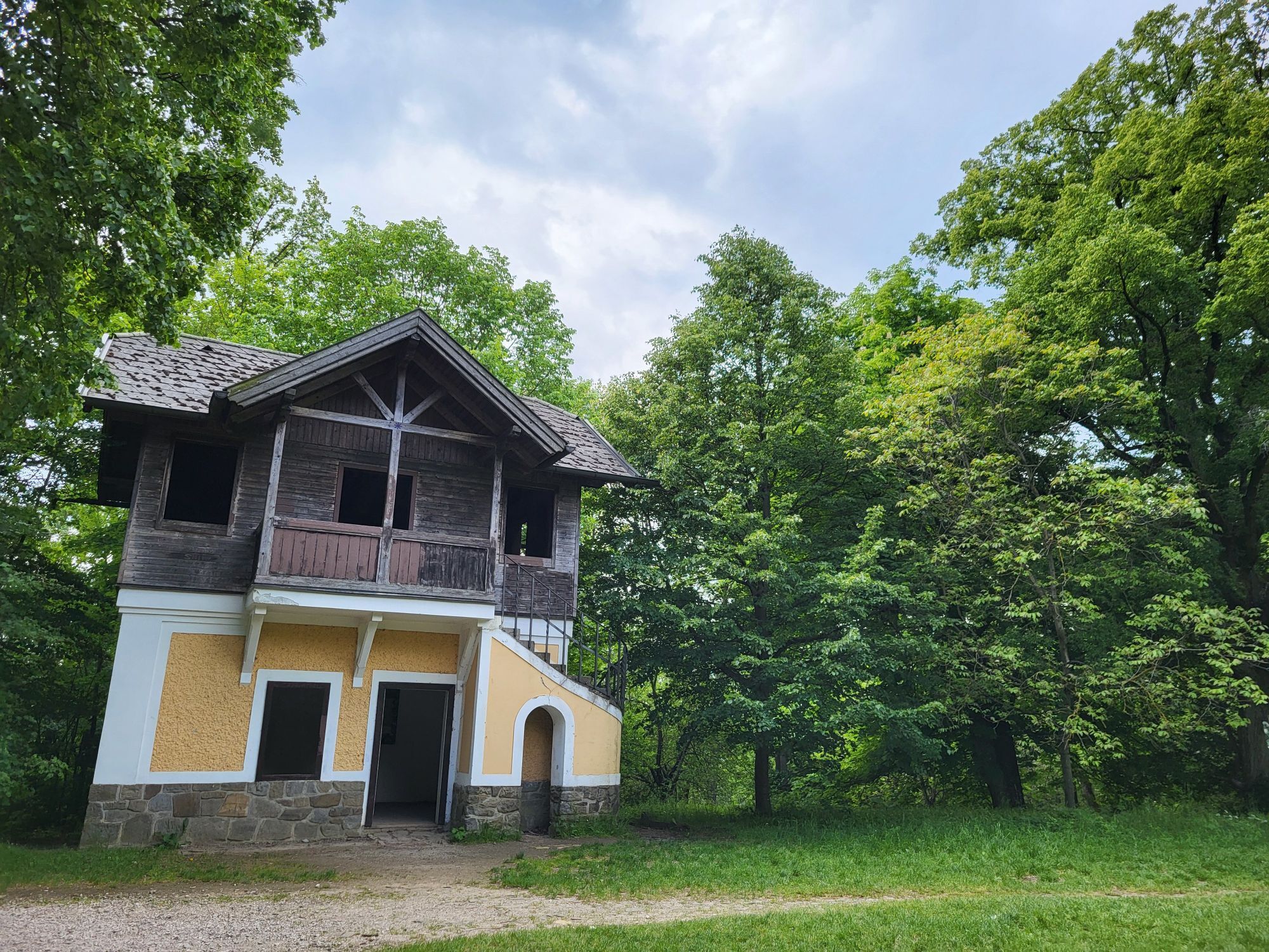
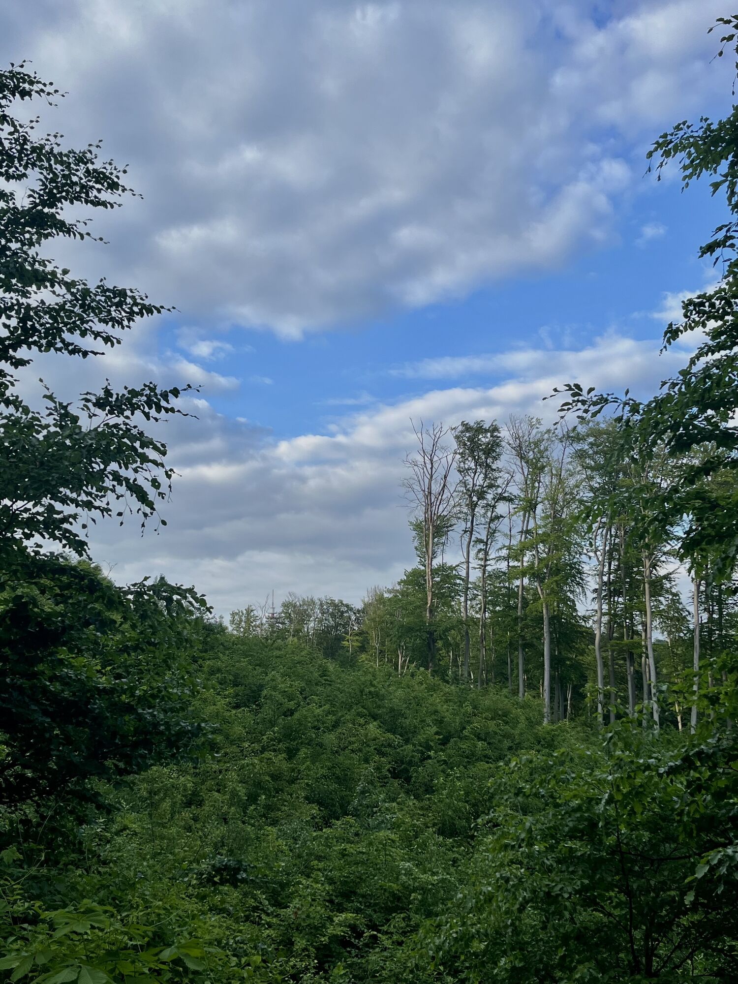
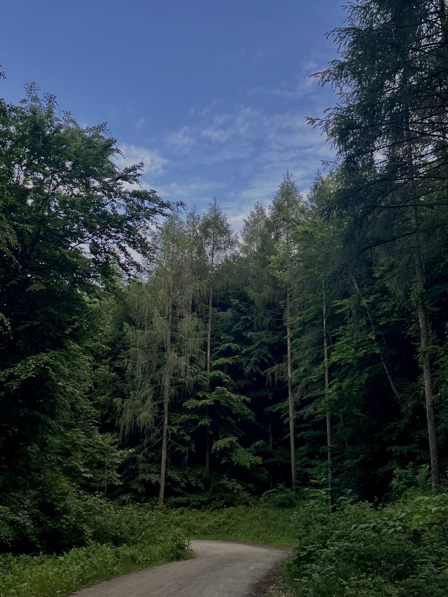
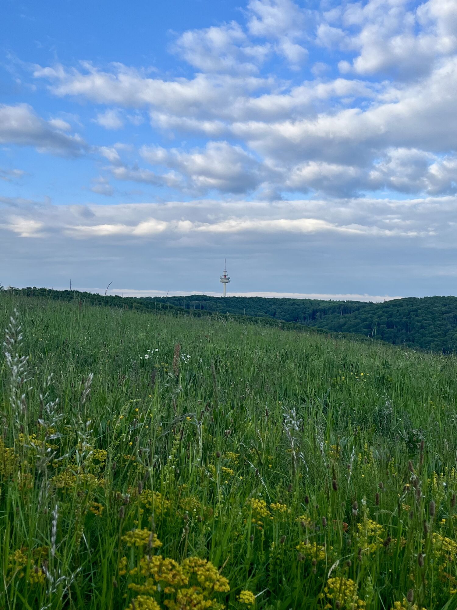
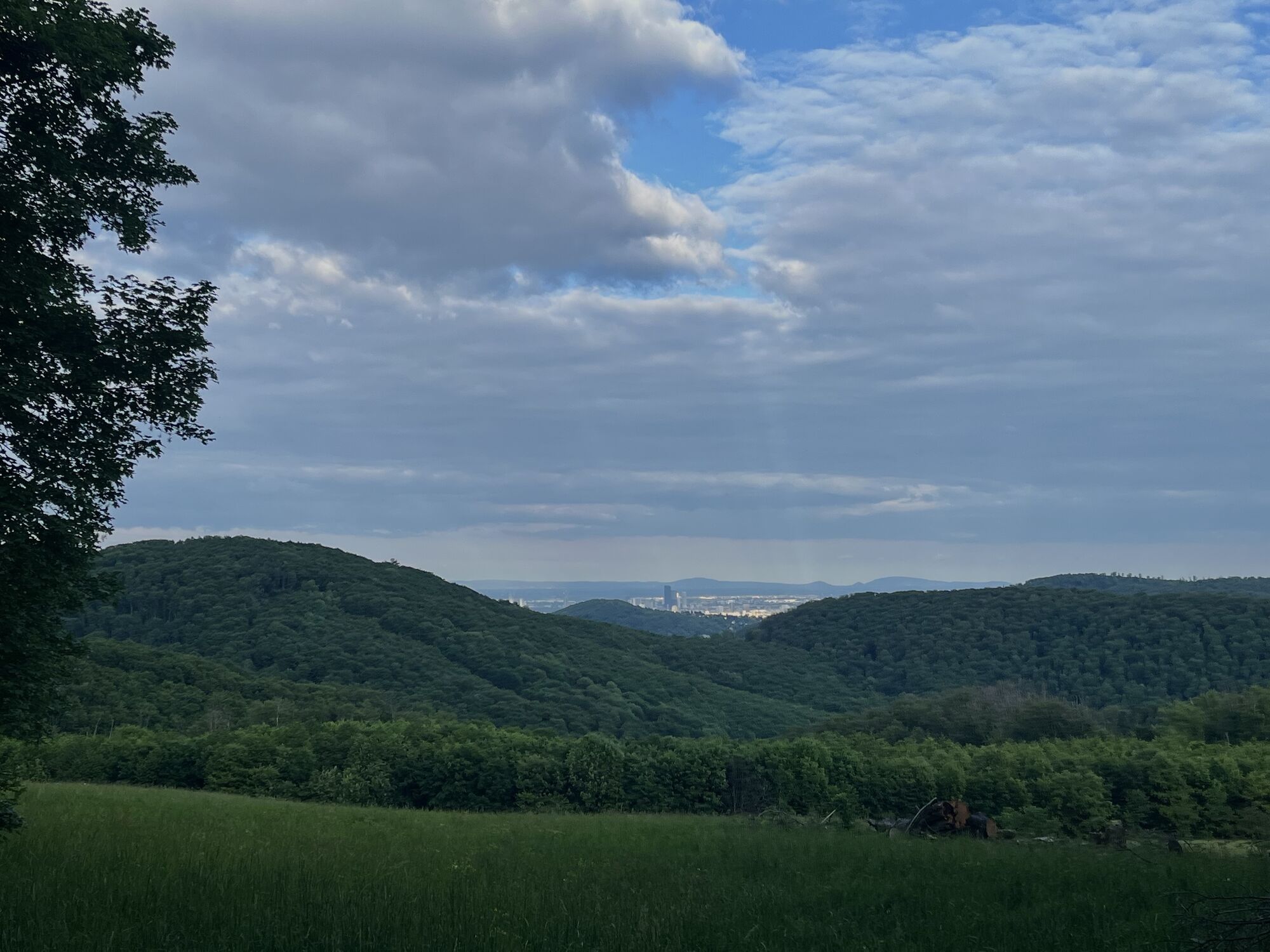
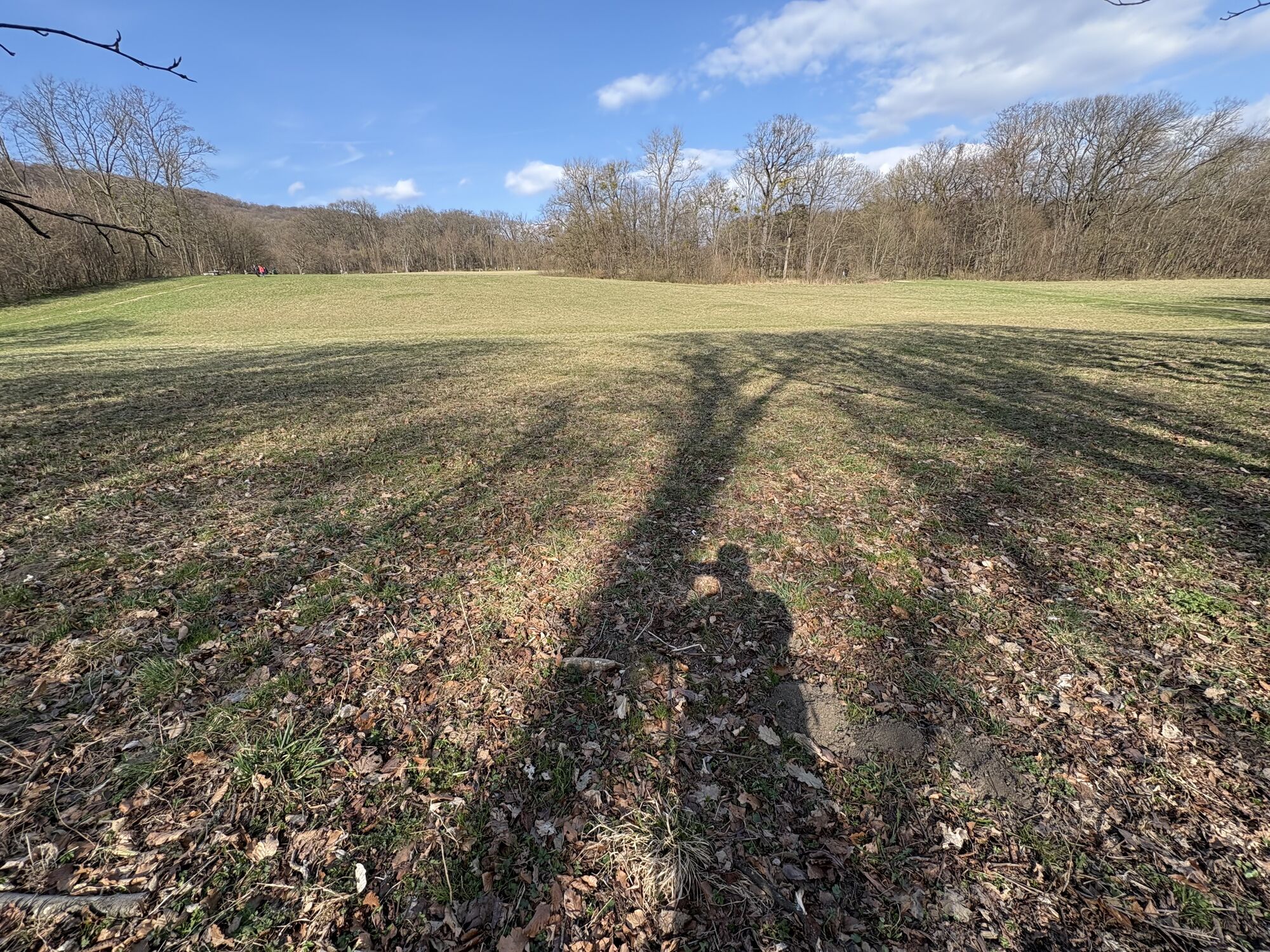
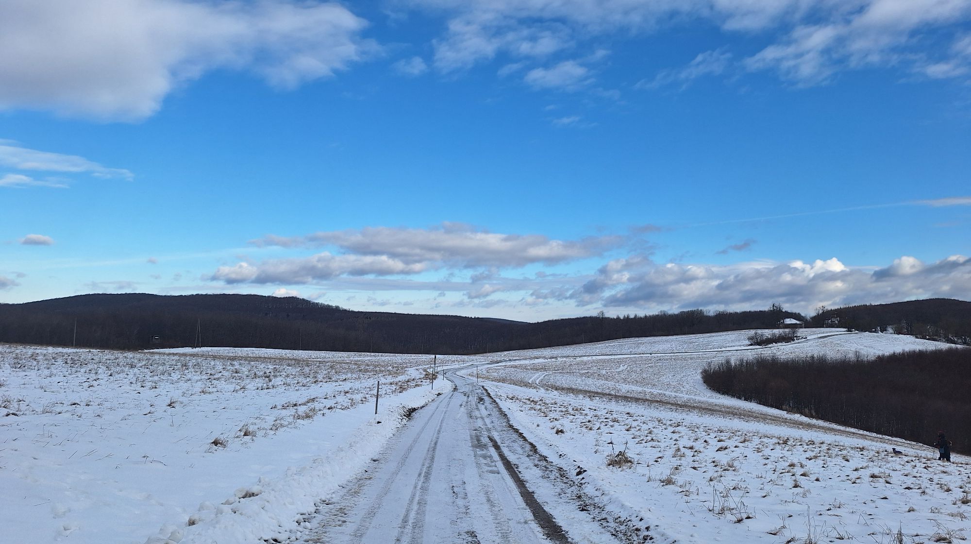
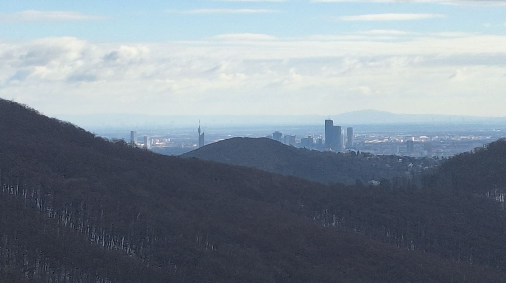
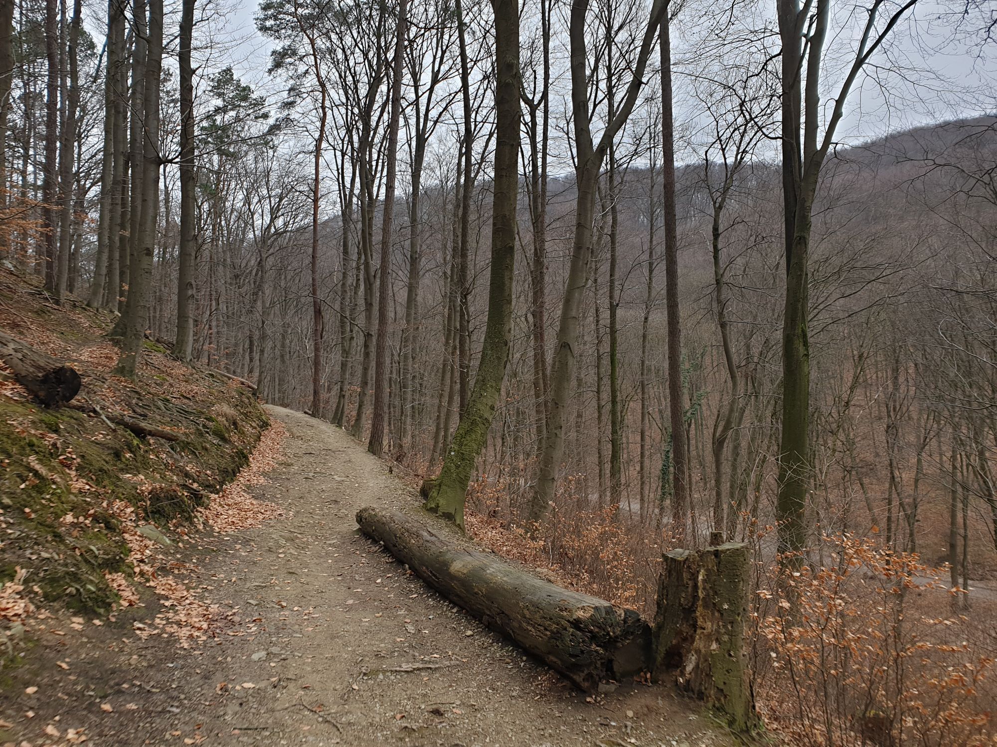
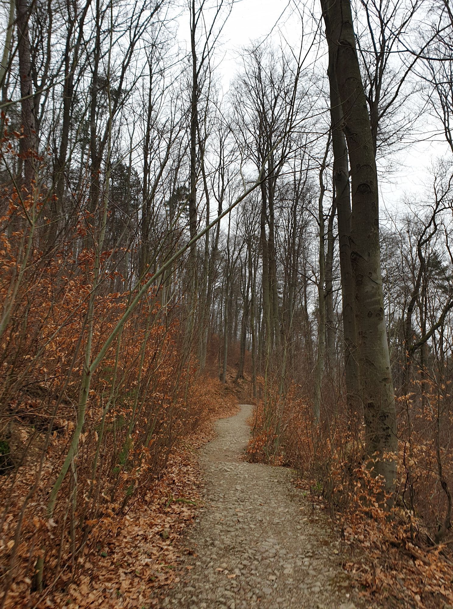
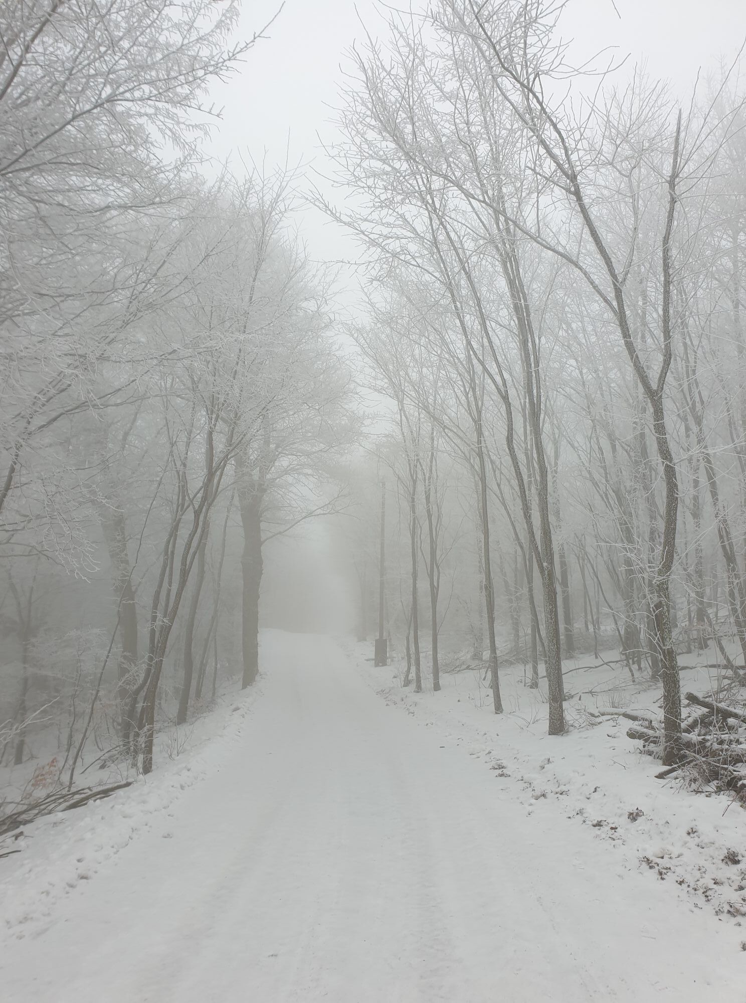
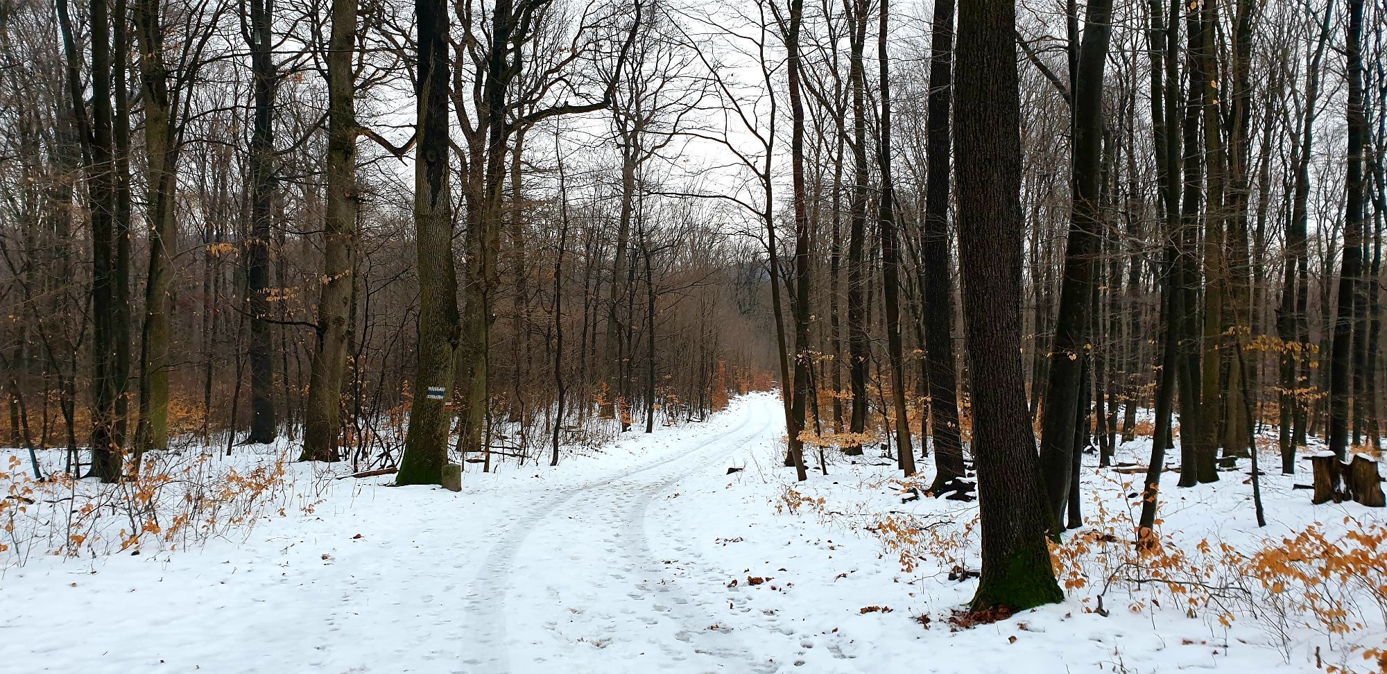
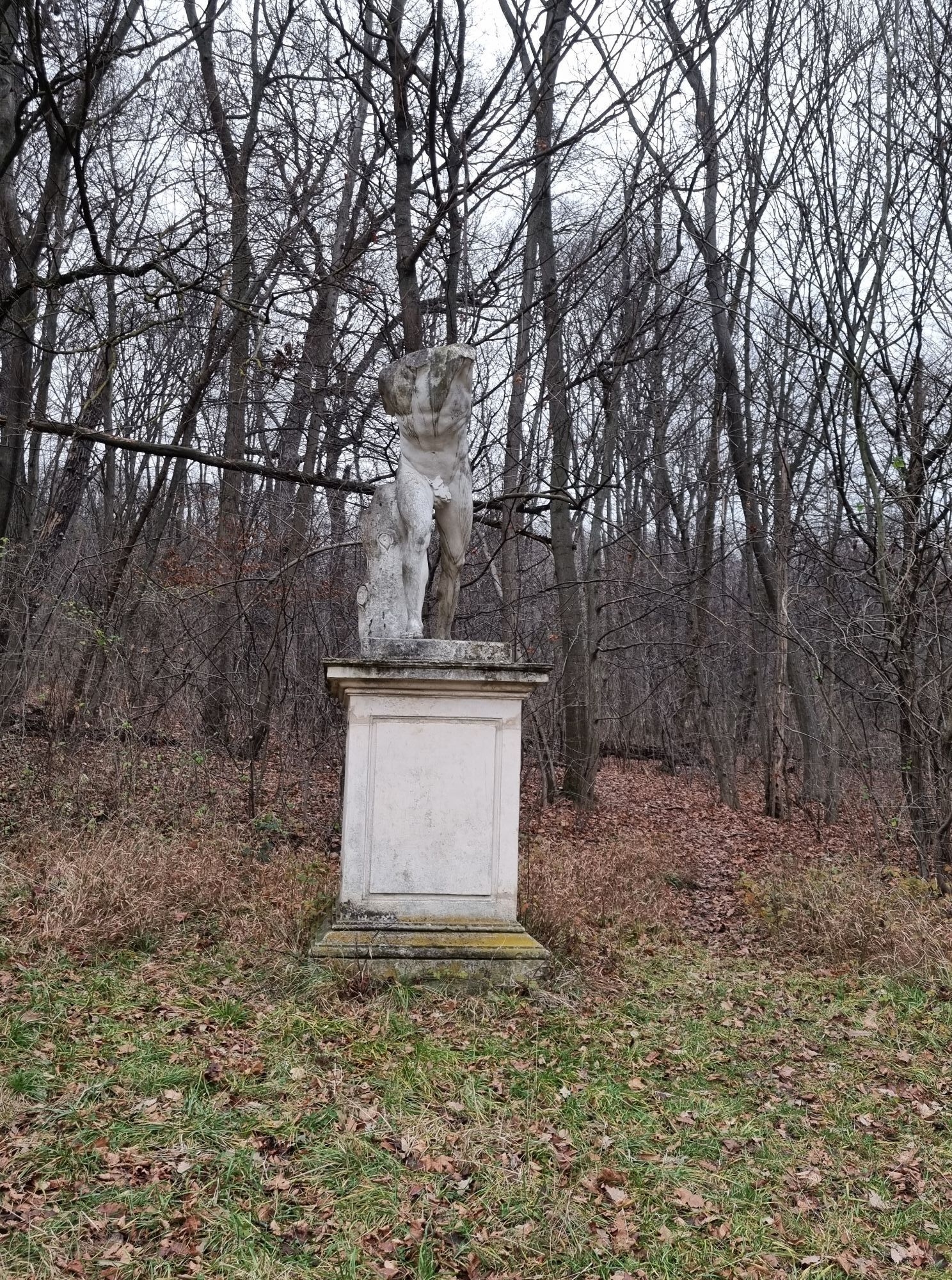
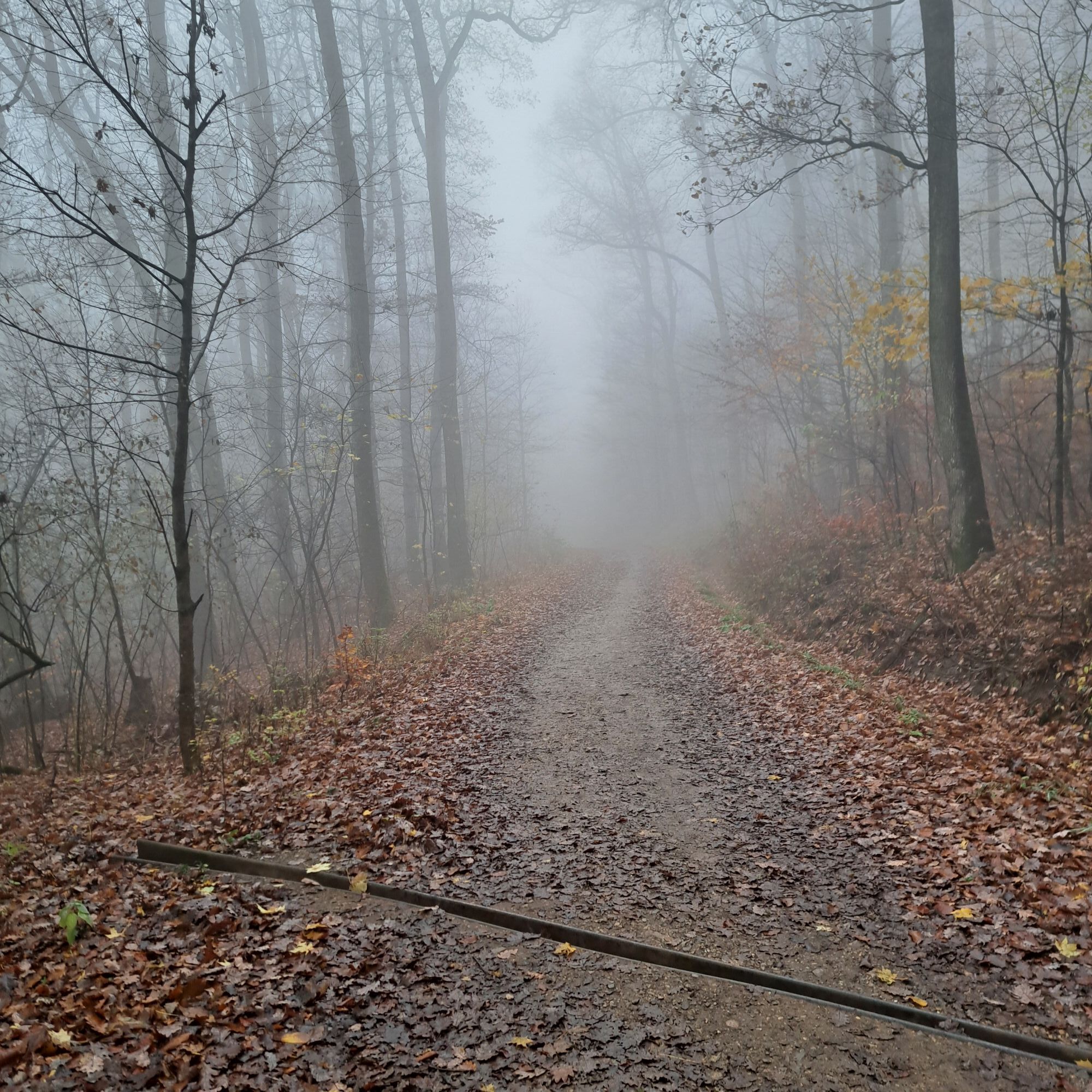
The idyllic Schwarzenbergpark, the Hameau clearing, the exciting single trails down to Schützengraben, the gliding section over Sophienalpe,...
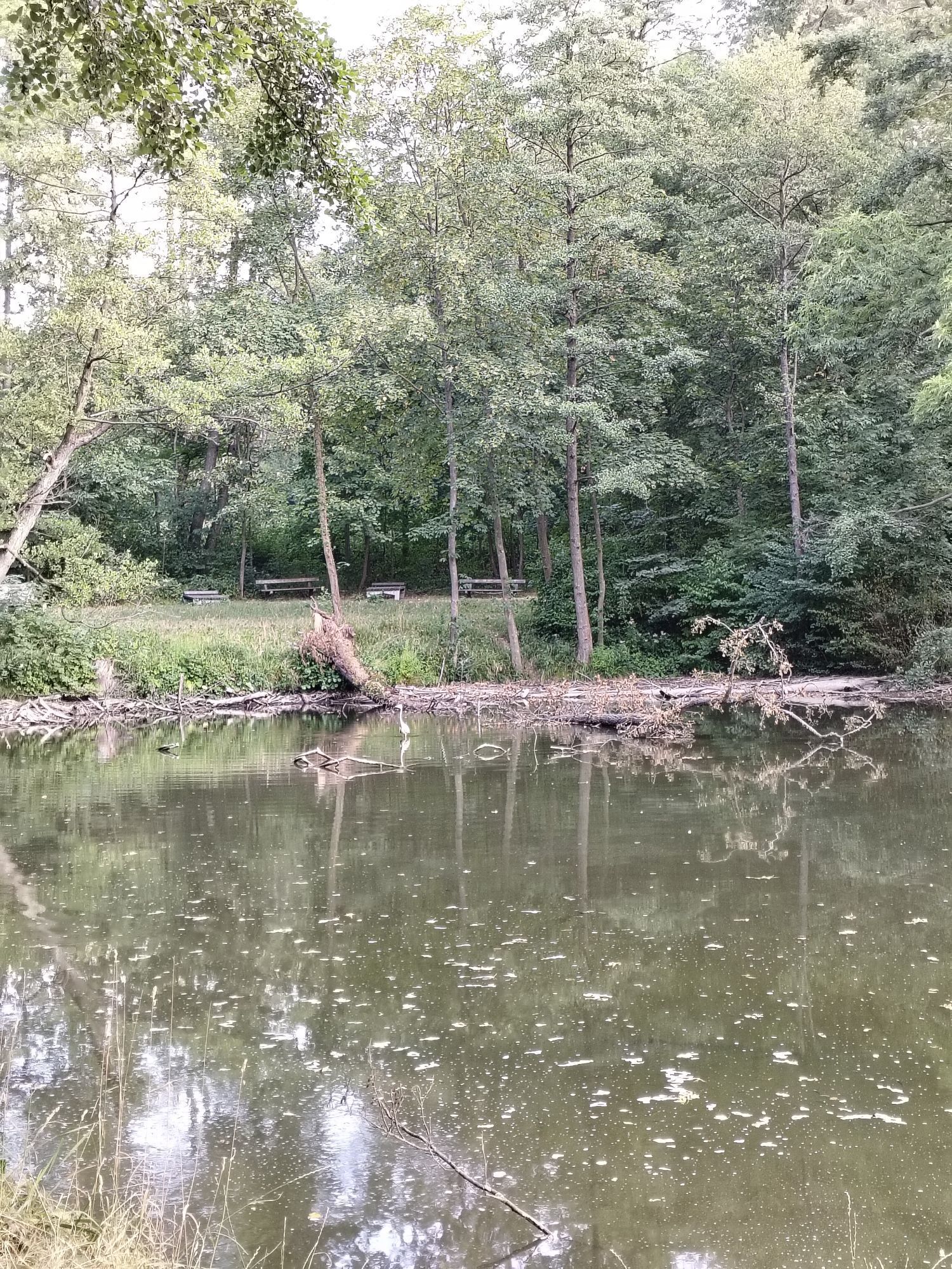
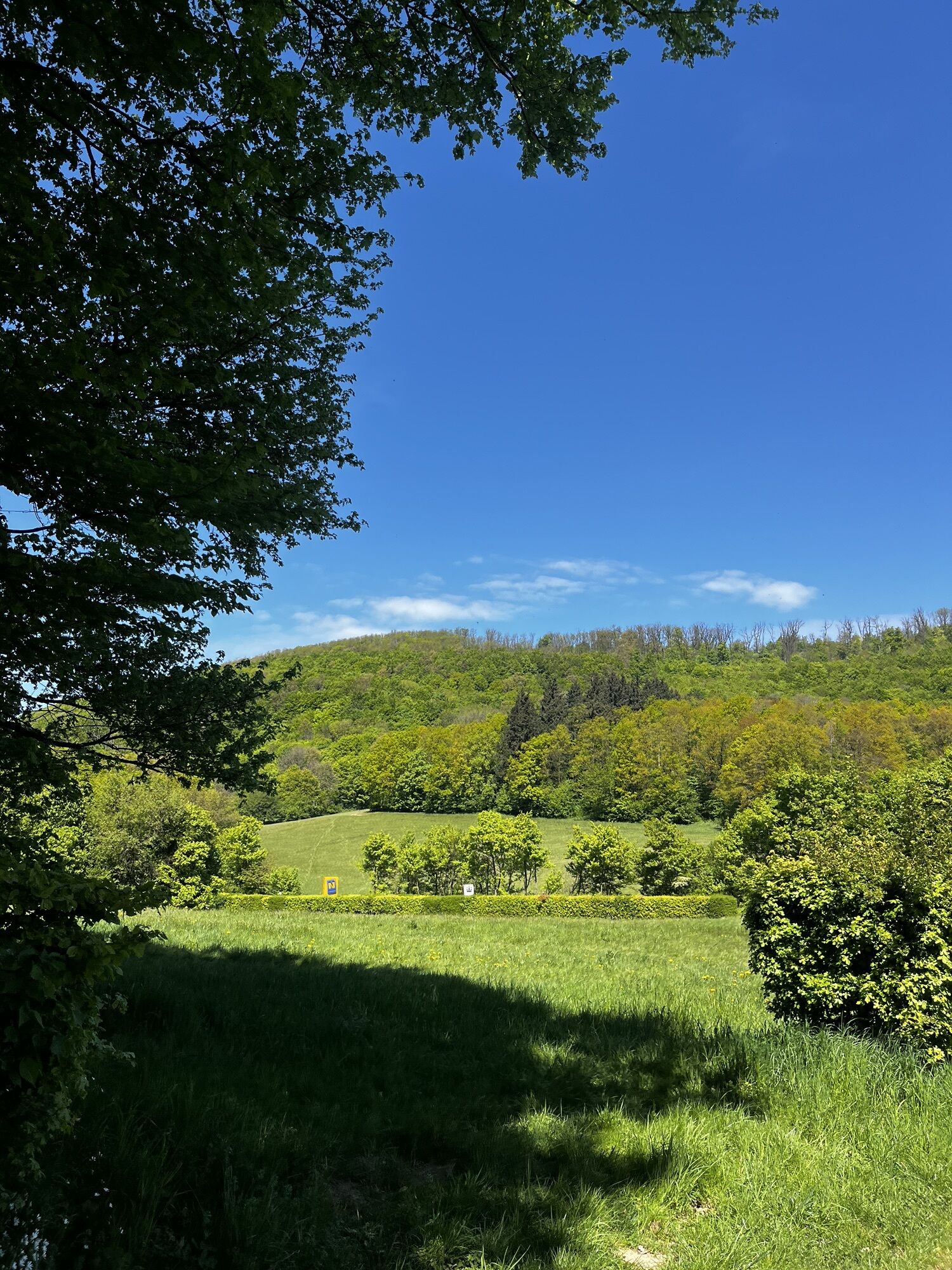
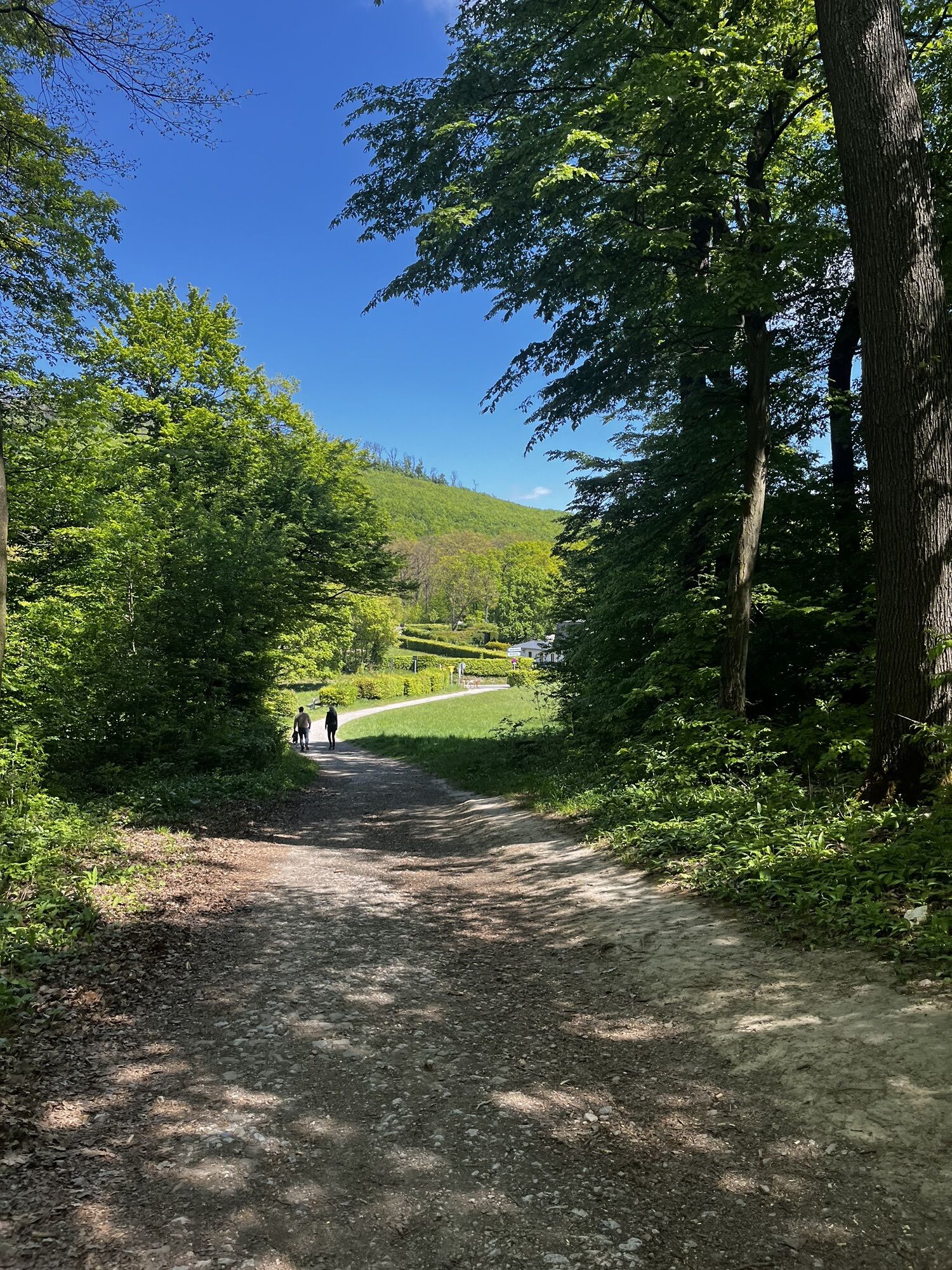
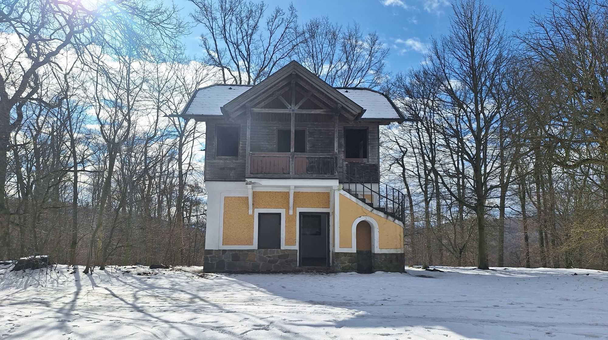
<p><strong>The ongoing maintenance of this route is supported by MOUNTAINBIKER.at.</strong></p><p>The idyllic Schwarzenbergpark, the Hameau clearing, the exciting single trails down to Schützengraben, the gliding section over Sophienalpe, and the descent from there to Grüner Jäger as well as the challenging traverse from Rieglerhütte to Amundsenstraße make this route a varied after-work ride.</p><p>Those who want to avoid the very steep push section after Kasgraben will find the ideal shortcut with the connecting path between Dianabründl and Jägerwaldsiedlung.</p><p>Schwarzenbergpark-Hameau-Höhenstraße-Häuserl am Roan-Grüass Di a Gott Wirt-Schützengraben-Dambachgraben-Sophienalpe-Kasgraben-Diana Bründl-Gh.Grüner Jäger-Jägerwaldsiedlung-Rieglerhütte-Schwarzenbergpark</p>

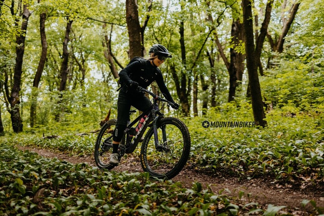
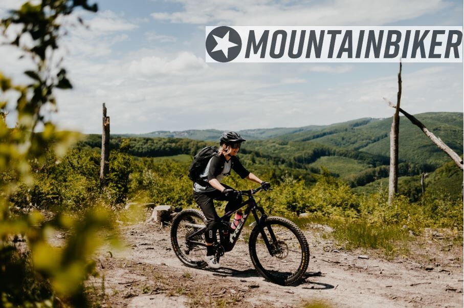

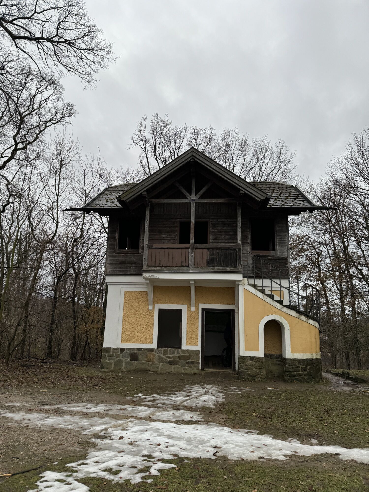
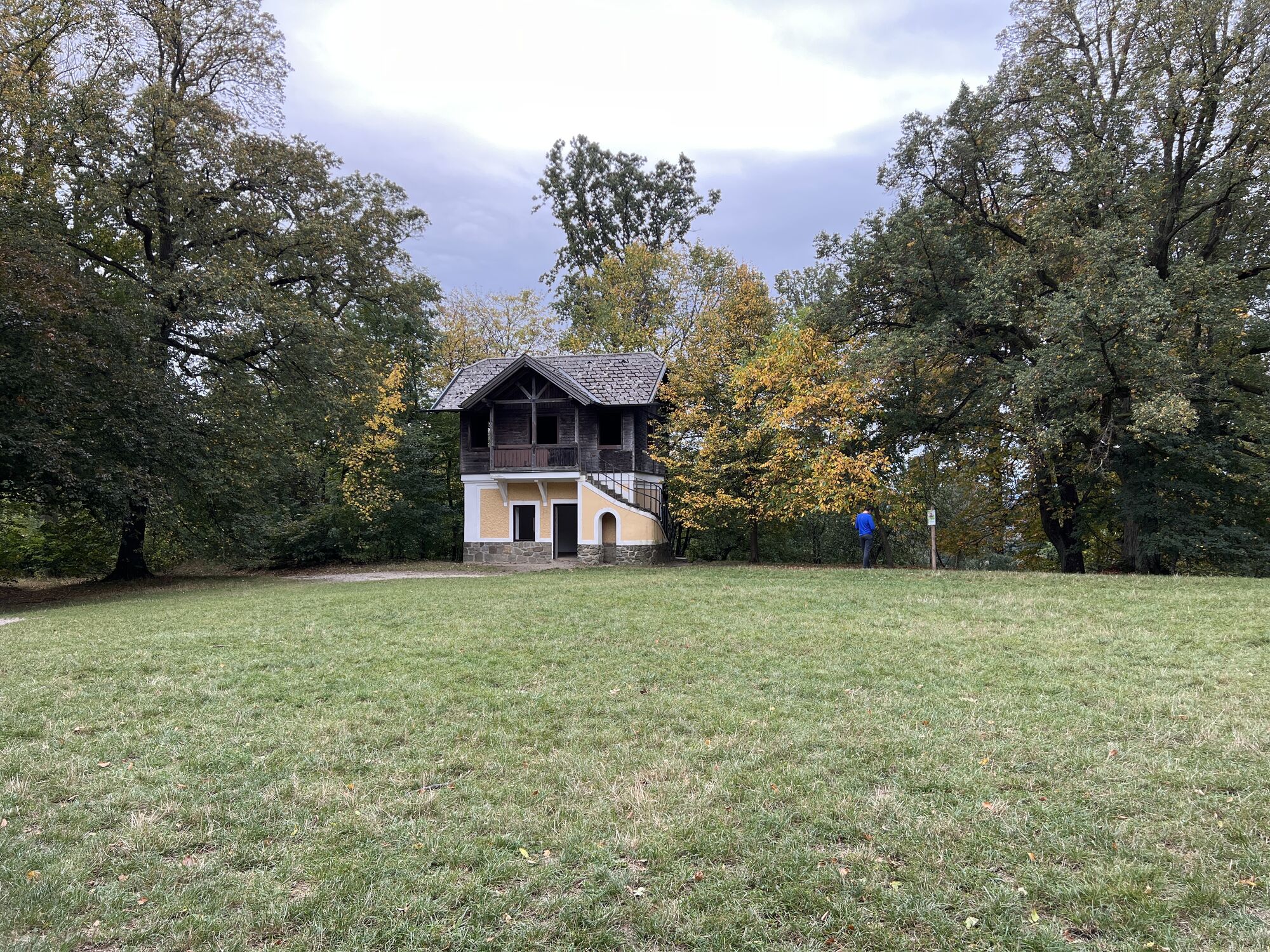
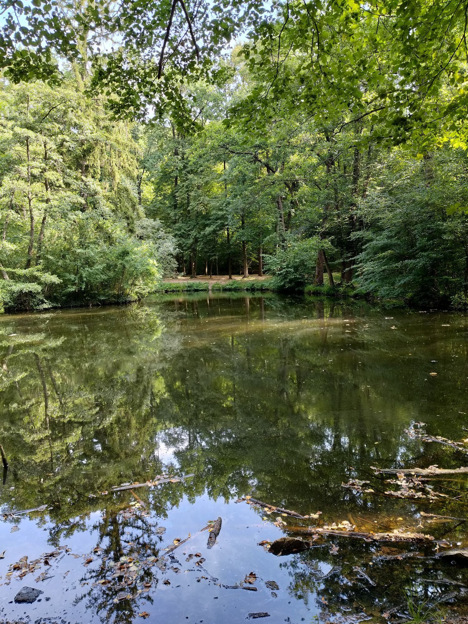
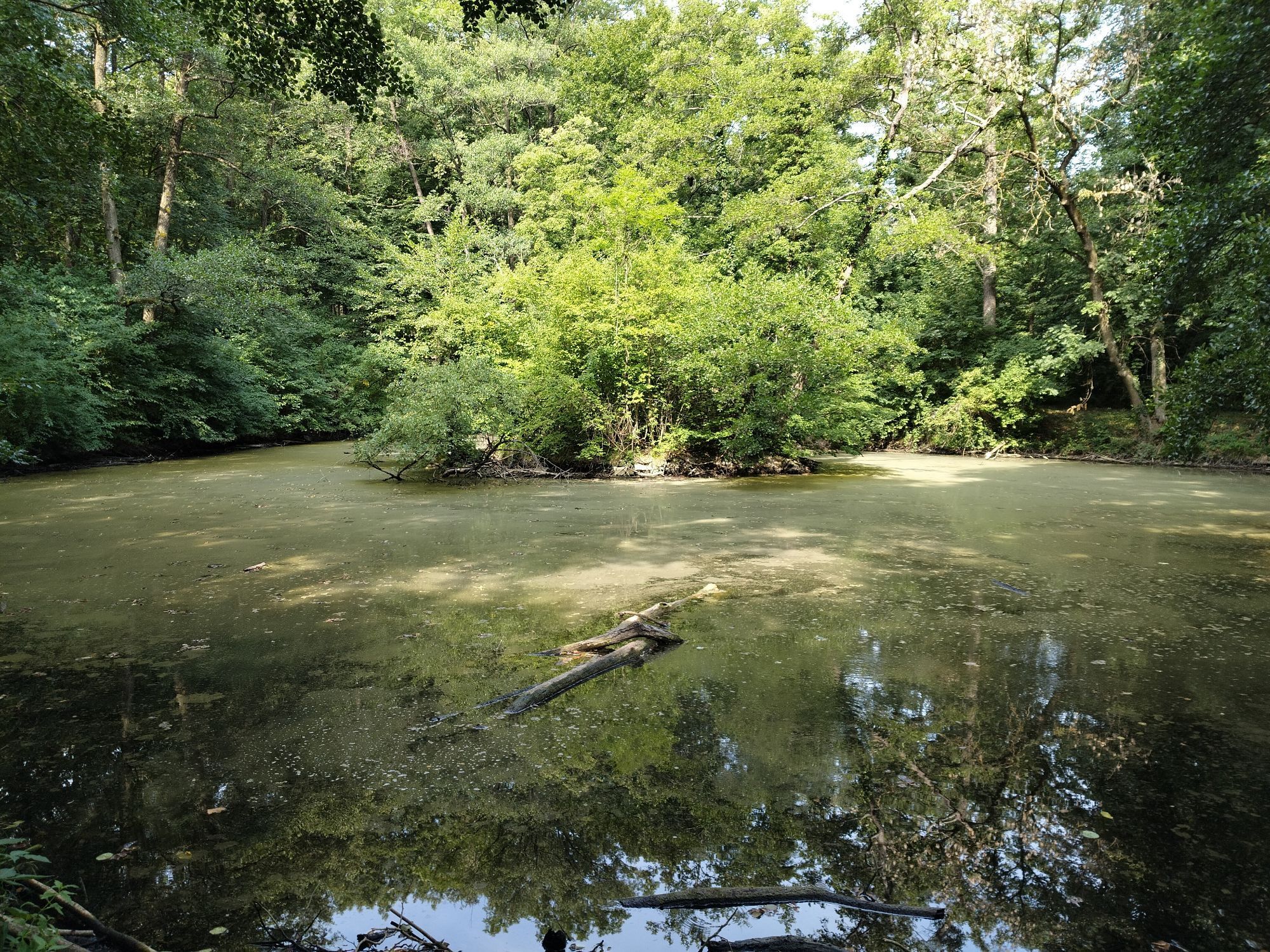
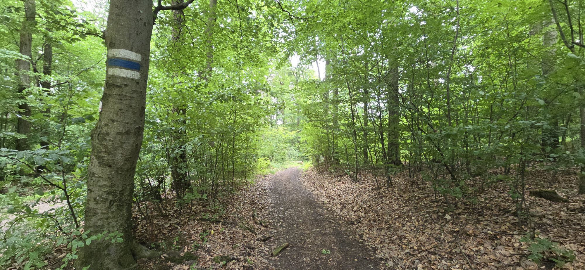
<p>From Schwarzenbergallee, we follow the MTB signs uphill to Hameau. From there, it goes over both Roan Trails towards Hermanskogel and continues left downhill along Schützengraben. At the bottom, we turn left onto L116, after 800 m turn left again uphill along Dombachgraben and continue to Sofienalpe. From there, we go downhill along Kasgraben to Mauerbachstr. and turn left twice (steep uphill) to reach Rieglerhütte via Jägerwaldsiedlung. Here we turn right onto a path, go straight ahead, and behind Hanslteich back to the start.</p><p>Surface: Asphalt 32%, Gravel 6%, Forest/Meadow 62%</p>
<p>A safe and functional mountain bike is a prerequisite for all routes. Helmet and gloves protect against falls and can be supplemented by knee and elbow pads on single/shared trails. A modern mountain bike with disc brakes and sufficient tire tread is recommended. For single and shared trails from the red difficulty level, a full-suspension bike with modern geometry is recommended. Tools, tire levers, pump, and spare tube help in case of a breakdown. Sufficient supplies (drinks and food) should also be carried, as well as a mobile phone and wind/rain jacket.</p>
<p>Before every outing, check the functionality of brakes, tires, and suspension fork/shocks. Always ride with hazard awareness and controlled speed and adjust route choice to the riding skills of the group and the surface. The <strong><a href="www.wienerwald.info/mountainbiker-fai... Play</a></strong> rules must always be observed. Single/shared trails and built routes in trail parks and trail centers often feature stones, roots, steep sections, steps, and steep turns that require specific riding skills. In case of doubt, simply dismount and push the bike.</p>
<p>Coming from the west, take A1 towards Vienna, continue on B1, turn left at Bergmillergasse, continue on Hüttelbergstraße, take the first exit at the roundabout onto Amundsenstraße, take the first exit at the next roundabout onto Neuwaldegger Straße, continue on Neuwaldegger Straße to Schwarzenbergpark.
</p><p>Coming from the south via A2 to A23, exit Altmannsdorfer Straße/B224, continue on B223, turn left at Linke Wienzeile, turn right at Schlossallee, continue on Johnstraße, turn left at Hütteldorfer Straße, turn right at Leyserstraße, continue on Maroltingergasse, continue on Sandleitengasse, continue on Güpferlingstraße, turn left onto Dornbacher Straße, turn right onto Vollbadgasse, turn left onto Alszeile, continue on Dornbacher Straße, continue on Neuwaldegger Straße to Schwarzenbergpark.</p>
<p>Tram line 43</p>
<p>At the tram station in Neuwaldegg</p>
The elevation data for this route was calculated based on A-MAP. Due to different map bases of routing/navigation apps and devices, slightly different data is inevitable. More information can be found in the following blog post!
Vienna Woods Tourism GmbH
Hauptpl. 11, 3002 Purkersdorf
Tel. +43/2231/621 76
E-mail: office@wienerwald.info
Website: www.wienerwald.info
Places to eat:
SophienalpeKlee am HanslteichZurAlleeRieglerhütteHäuserl am RoanGriaß di a Gott WirtPopularne wycieczki w okolicy
-
4,9
Stadtwanderweg 1
światłoWędrówka 11,1 km -
4,9
Stadtwanderweg #2, Hermannskogel, Top of Vienna 😆
światłoWędrówka 11,1 km -
4,8
Stadtwanderweg 1a - Leopoldsberg / lt. Beschilderung
średniWędrówka 10,2 km -
4,7
Königstetten-Figlwarte-Hainbuch-Königstetten
średniWędrówka 9,30 km -
4,6
Abend/Nachtwanderung Teufelstein
światłoWędrówka 7,15 km -
4,6
Nasenweg Leopoldsberg Rundweg
średniWędrówka 4,08 km -
4,6
Stadtwanderweg 6 / Zugberg - Maurer Wald (lt. Beschilderung)
światłoWędrówka 13,3 km -
4,6
Stadtwanderweg 7 - Laaer Berg / lt. Beschilderung
światłoWędrówka 14,2 km -
4,6
Stadtwanderweg 4
światłoWędrówka 8,48 km -
4,6
Rundwanderung Gablitz Gemeindeamt - Troppberg - Rabenstein - Gablitz Gemeindeamt
światłoWędrówka 12 km
Wędrówki i tropienie


Nie przegap ofert i inspiracji na następne wakacje
Twój adres e-mail została dodana do listy mailingowej.





