


Ysperklamm route
The Ysperklamm route, (combined with the Leithen panorama route) ideally connects all three mountain bike hosts of the Waldviertel and is also on the Waldviertel Granite Trail, which runs from Gmünd on...
The Ysperklamm route, (combined with the Leithen panorama route) ideally connects all three mountain bike hosts of the Waldviertel and is also on the Waldviertel Granite Trail, which runs from Gmünd on the Czech border to Persenbeug on the Danube. So actually ideal conditions for a whole MTB weekend in the Waldviertel.

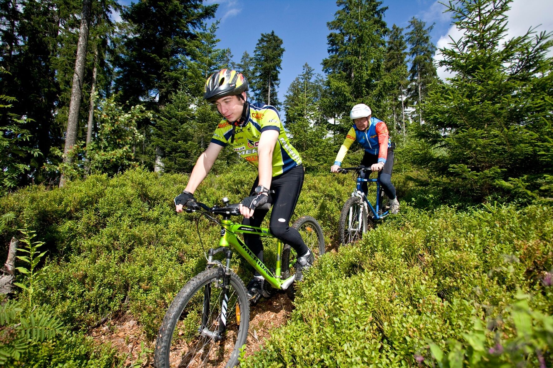
<p>After a few hundred meters the route leads onto a forest path. This is not particularly difficult, only after heavy rain it turns into deep terrain (which does not shake anyone) up to Gutenbrunn. Then follows an about 3 km long partly quite rough downhill. The last kilometers lead at very high speed on asphalt into the village of Gmaining and uphill again to the sawmill. Another three km uphill on a paved forest road (partly 18% gradient). After climbing almost 400 m, it goes with short alternating inclines and descents past the Pfaffensteg and Schlesinger ponds back to Bärnkopf!</p>
<p>Helmet, suitable clothing and footwear, rain and sun protection, first aid kit (blister plasters), sufficient provisions (snack, muesli bars, fruit, water).</p>
<p>Make sure when choosing the route that it matches your fitness level. Check whether the gastronomy businesses you want to visit along the way are open. Pack your mobile phone and map material in your backpack.</p>
<p>A1 - Exit Ybbs on the Danube, Danube bridge, B36 to Laimbach, then via Gutenbrunn to Bärnkopf</p>
<p>Parking is possible at the Kirchenwirt or at the Bärnkopf tourist office.</p>
Tourist office Bärnkopf
3665 Bärnkopf 103
(T) +43 2874 8212
(E) gemeinde@baernkopf.gv.at
(I) www.baernkopf.gv.at
Market municipality Gutenbrunn
3665 Gutenbrunn 25
(T) +43 2874 6242
(E) gemeinde@gutenbrunn.at
(I) www.gutenbrunn.at
Market municipality Martinsberg
3664 Martinsberg 6
(T) +43 2874 6278
(E) gemeinde@martinsberg.gv.at
(I) www.martinsberg.at
Market municipality Münichreith-Laimbach
Municipal office Laimbach No. 76
(T) 02758 5214
(E) gde.laimbach@wavenet.at
(I) www.laimbach.at
Waldviertel Tourism
3910 Zwettl, Sparkassenplatz 1/2/2
(T) +43 2822 54109
(E) info@waldviertel.at
(I) www.waldviertel.at
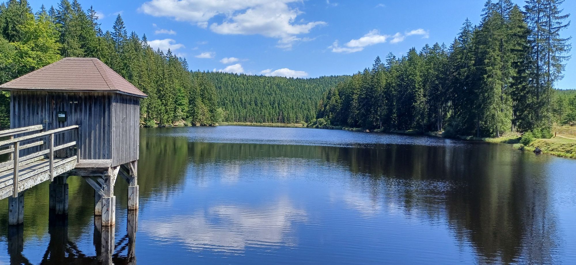
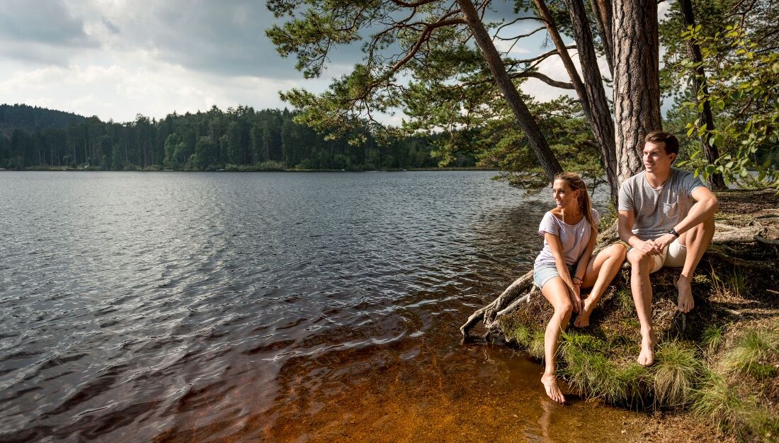
The Schlesingerteich offers a perfect cooling on warmer days.
Popularne wycieczki w okolicy
-
3,9
Yspertal: Druidenweg - Ysperklamm
średniWędrówka 9,56 km -
4,6
Waldhausen: Outlook circuit
średniWędrówka 14,0 km -
4,5
Ausgedehnte Peilsteinrunde
średniWędrówka 13,7 km -
4,8
Herzsteinweg Ysper und Burgsteinmauer
średniWędrówka 14,7 km -
4,9
LAIMBACH Ostrong Peilstein 20220716
średniWędrówka 7,70 km -
4,0
Burgstall-Wanderweg Nr. 3
średniWędrówka 11,8 km -
4,8
Ysperklamm
światłoWędrówka 3,92 km -
4,3
Teddybear Trail Lohnbachfall
światłoTrasa tematyczna 4,41 km -
3,8
Bärnkopf Ysperklammstrecke
ciężkiMountainbike 31,0 km -
4,8
Natur-Geheimnis-Pfad Nr. 5
światłoWędrówka 4,04 km
Wędrówki i tropienie


Nie przegap ofert i inspiracji na następne wakacje
Twój adres e-mail została dodana do listy mailingowej.