


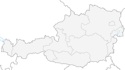


Sonnbrand-Almtour Göstling/Ybbs
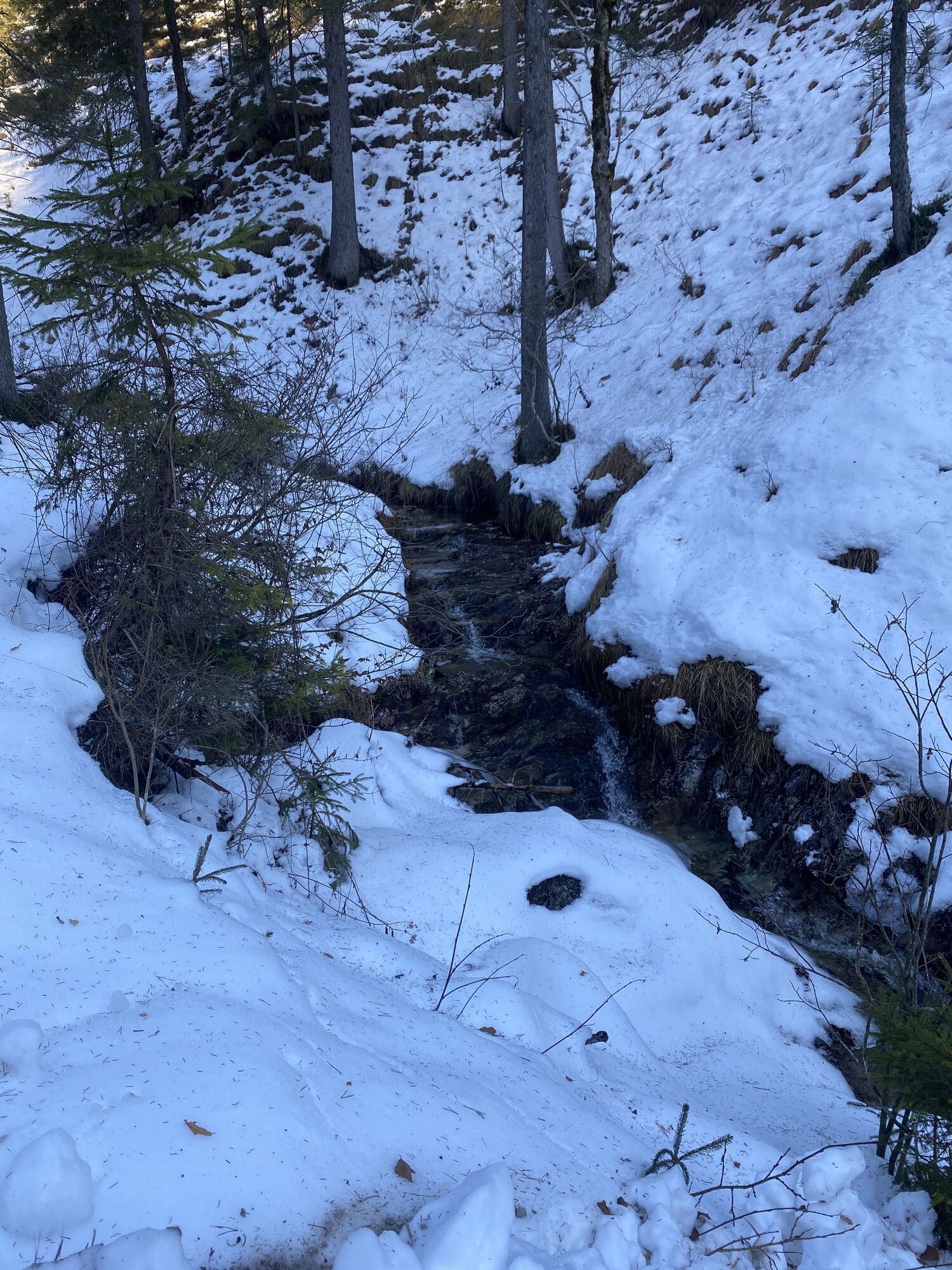
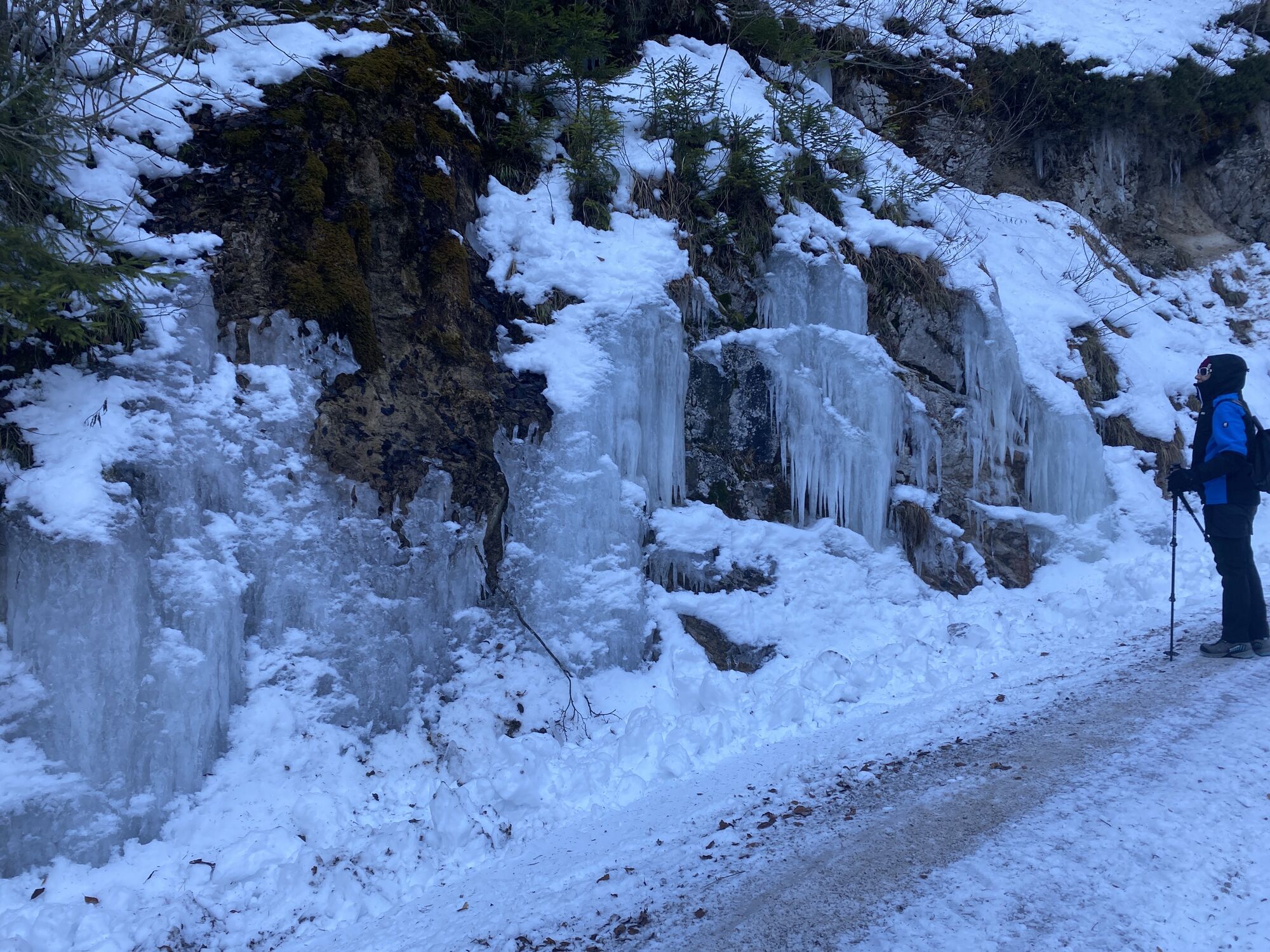
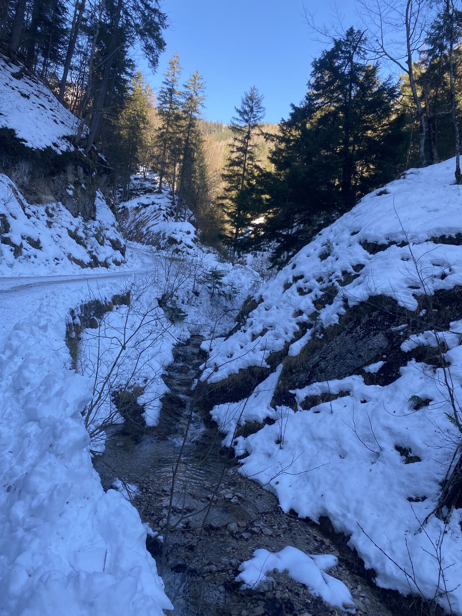
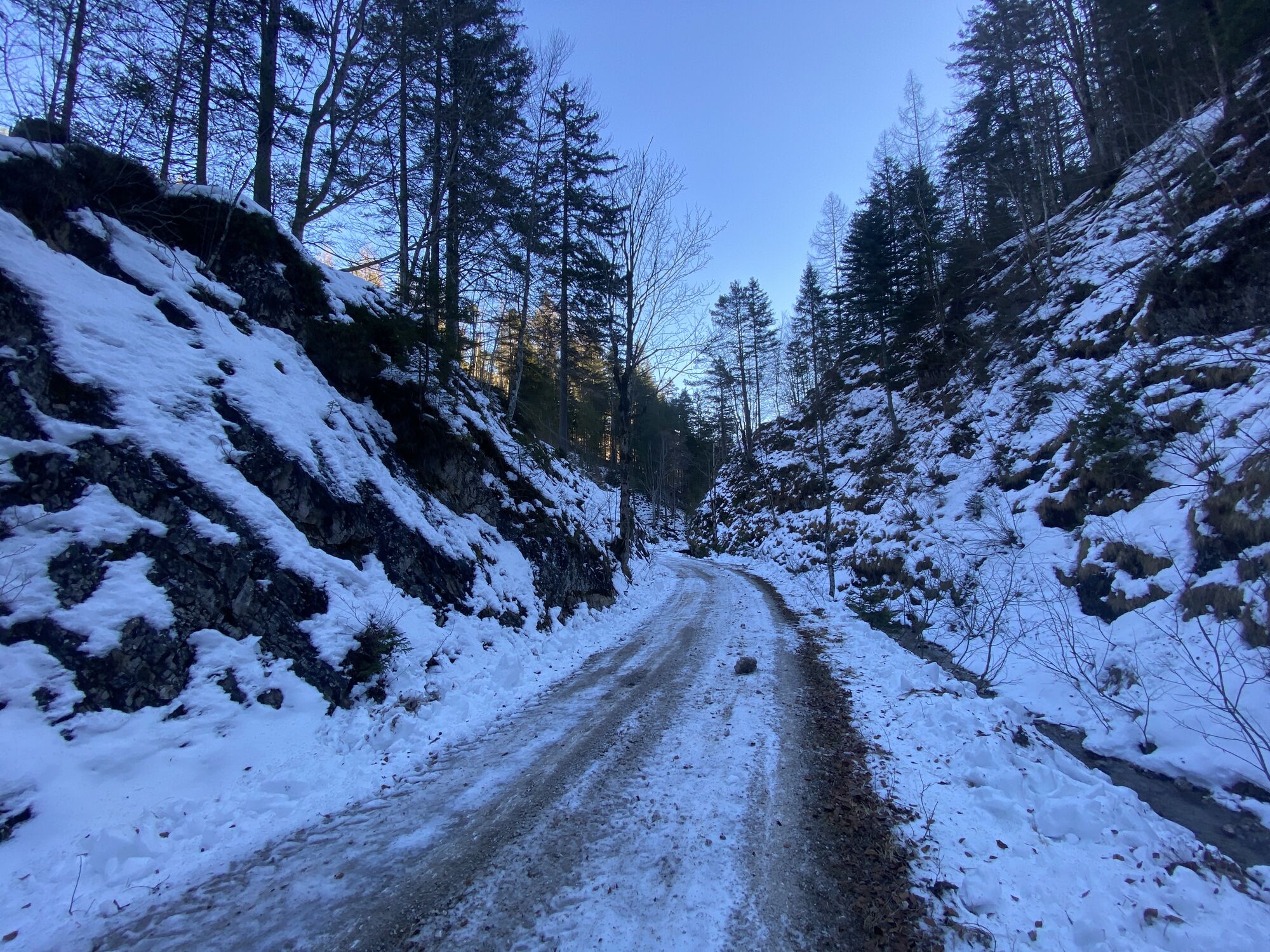
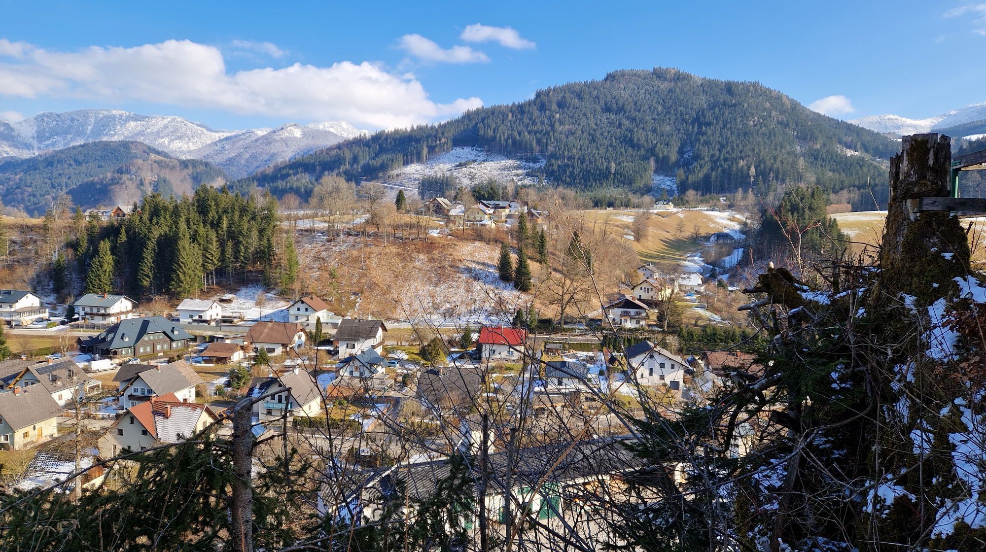
From the center of Göstling, the route initially leaves the village on asphalt in the direction of Lassing. You soon leave the road and turn right, where the first few meters of ascent follow - initially...
From the center of Göstling, the route initially leaves the village on asphalt in the direction of Lassing. You soon leave the road and turn right, where the first few meters of ascent follow - initially on asphalt, later on gravel/natural trail. After a short descent, you reach the Promau not far from the Mendlingtal valley, from where a short gravel descent takes you further uphill to and along the Königsberg. At Garnstatt, the route turns right and follows a forest road back to Göstling.

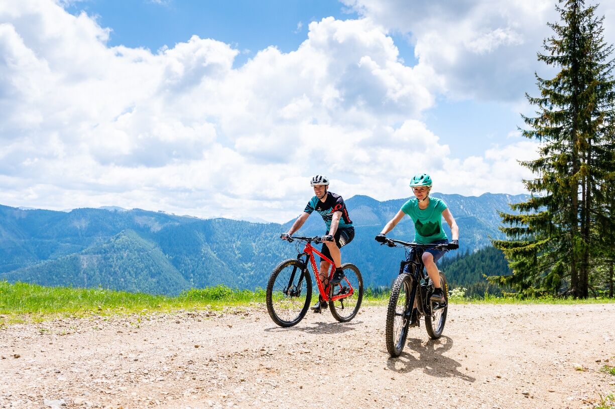
MTB hardtail, drinks, weather protection
Please note the winter closure of this and all other MTB trails in Mostviertel from November 1 to April 14.
Thank you for your understanding!
Tourism IG Ybbstaler Alpen
Göstling 46/2
3345 Göstling an der Ybbs
43-5-93049
If you have enough time, a detour including elevation gain to the Siebenhütte is worthwhile.

Popularne wycieczki w okolicy
-
4,5
Hochkar - Schmalzmauer - Geißhöhe - Ringkogel - Schwarzalmhütte - Brunneckerhütte
średniWędrówka 13,2 km -
4,9
Kurzeck- Siebenhütten- Turnhöhe- Kitzhütte Göstling an der Ybbs, Österreich
światłoWędrówka 12,8 km -
4,6
Lechner Graben - Ybbstaler Hütte
średniWędrówka 14,2 km -
4,6
Opponitz Gorge Hiking Trail
średniWędrówka 4,42 km -
4,4
Palfauer Wasserlochklamm
średniWędrówka 1,78 km -
4,1
wanderung auf den alpl
średniWędrówka 8,18 km -
4,9
Lechnergraben-Grünloch-Ybbstalerhütte
światłoWędrówka 9,72 km -
3,8
HOCHKAR Parkplatz Blachlboden Leckerplan Geischlägerhaus Hochkar Scheinecksttl. ret. 23.08.2018
światłoWędrówka 8,30 km -
4,1
Hollenstein Stupfmauer Voralpe Tanzboden retour 20.08.2016
średniWędrówka 15,6 km -
3,6
Von Lassing auf das Hochkar 18.07.2015
średniWędrówka 10,3 km

Wędrówki i tropienie


Nie przegap ofert i inspiracji na następne wakacje
Twój adres e-mail została dodana do listy mailingowej.