







Schnabelberg singletrail

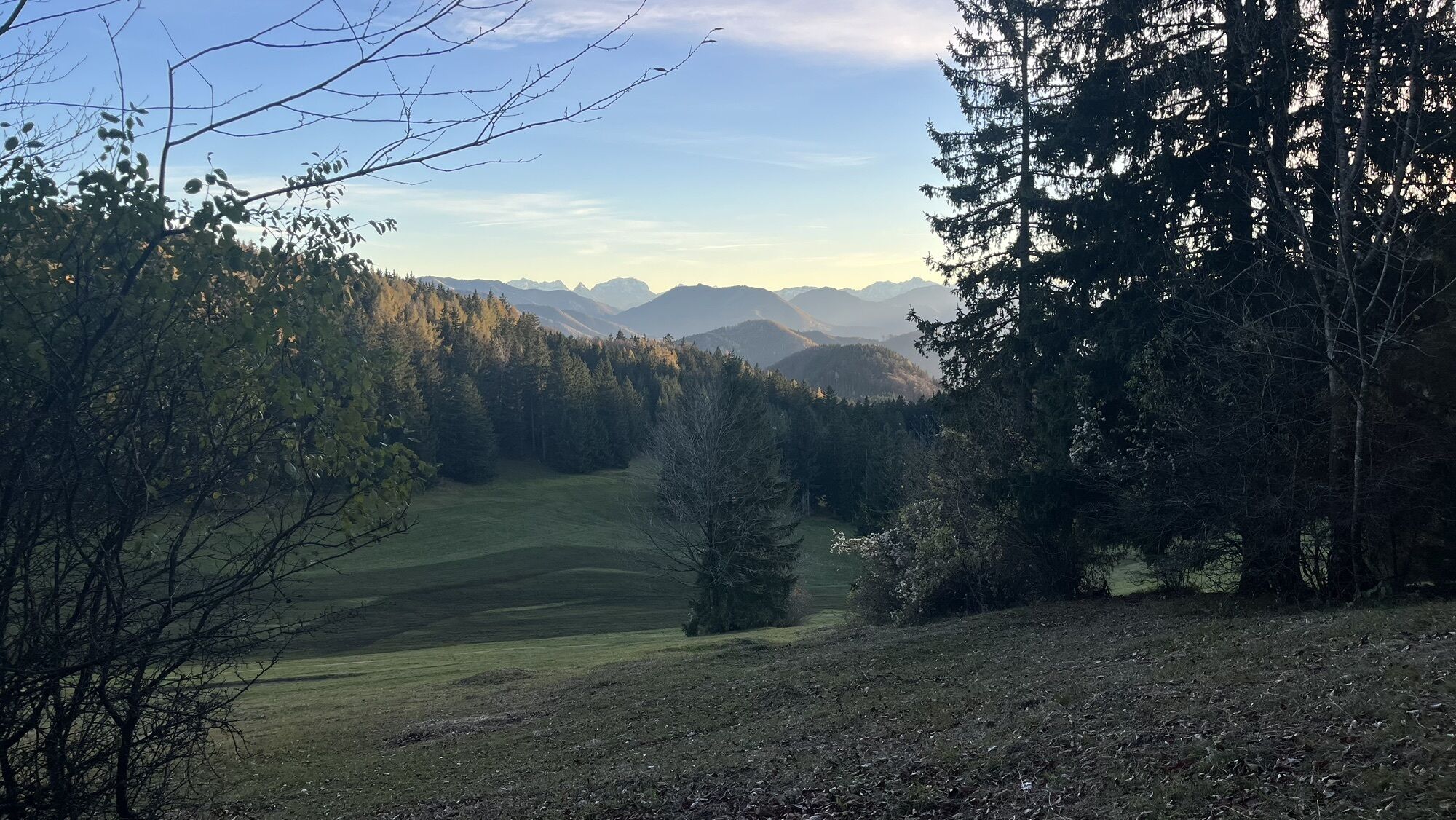
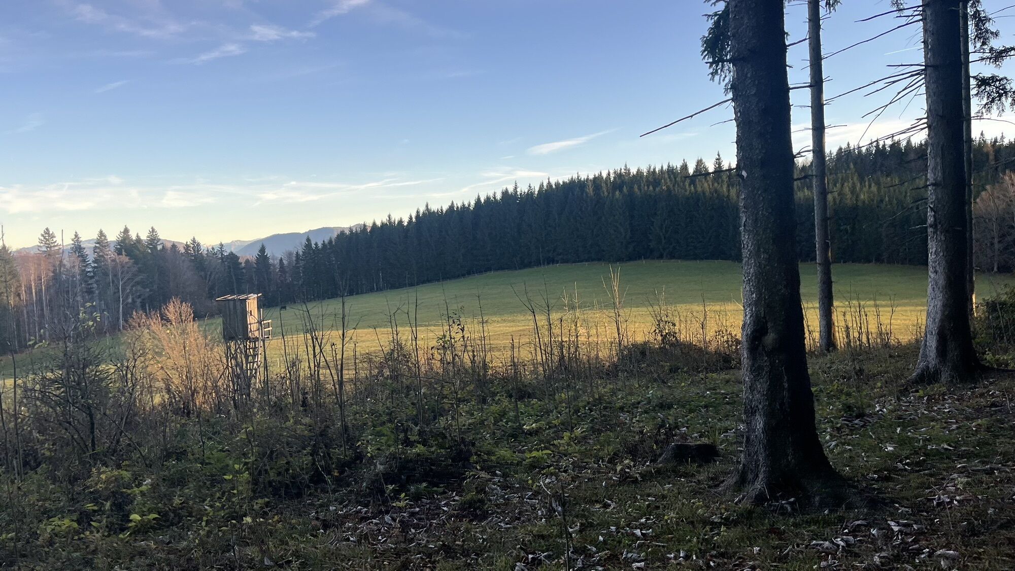
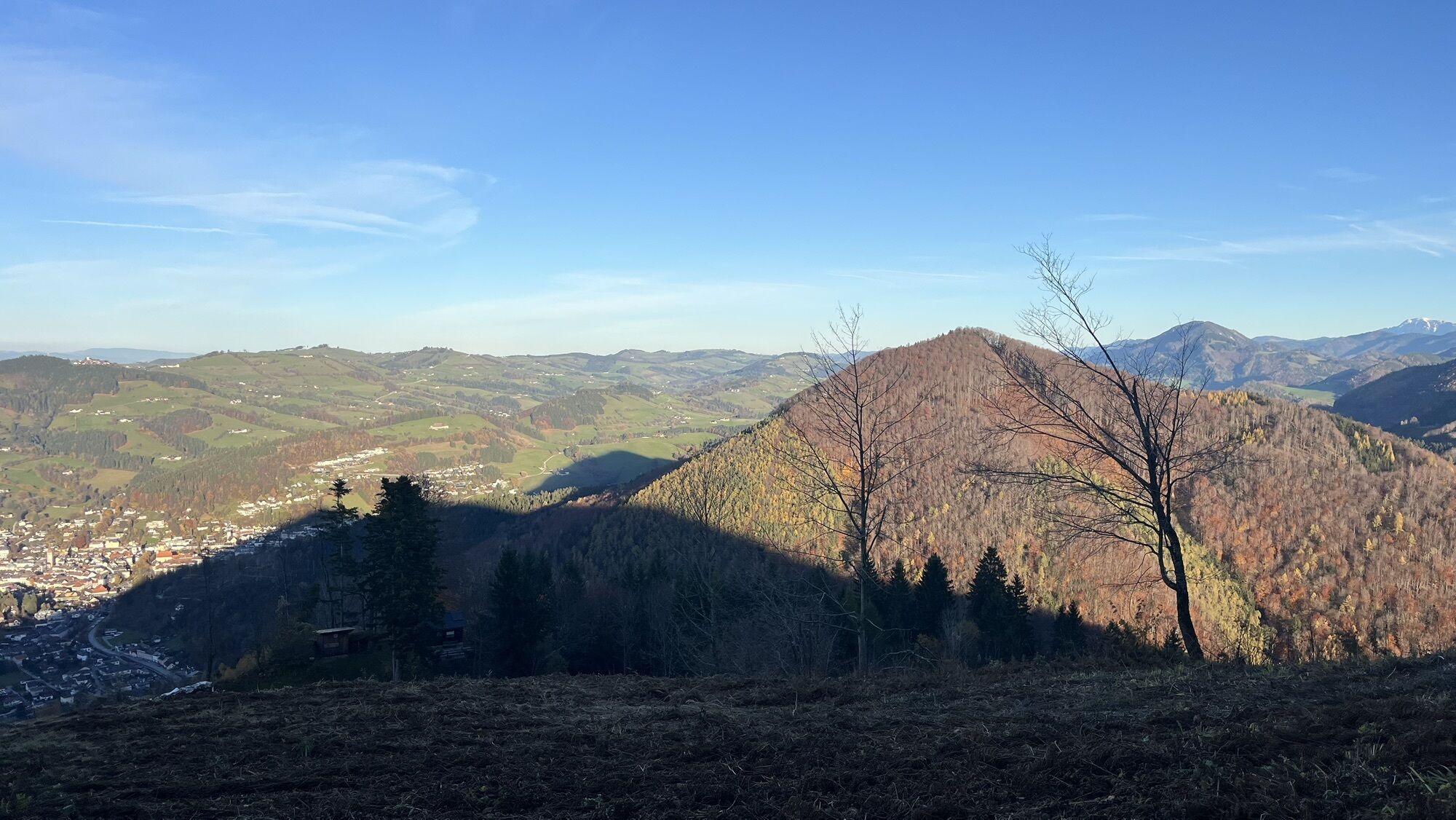
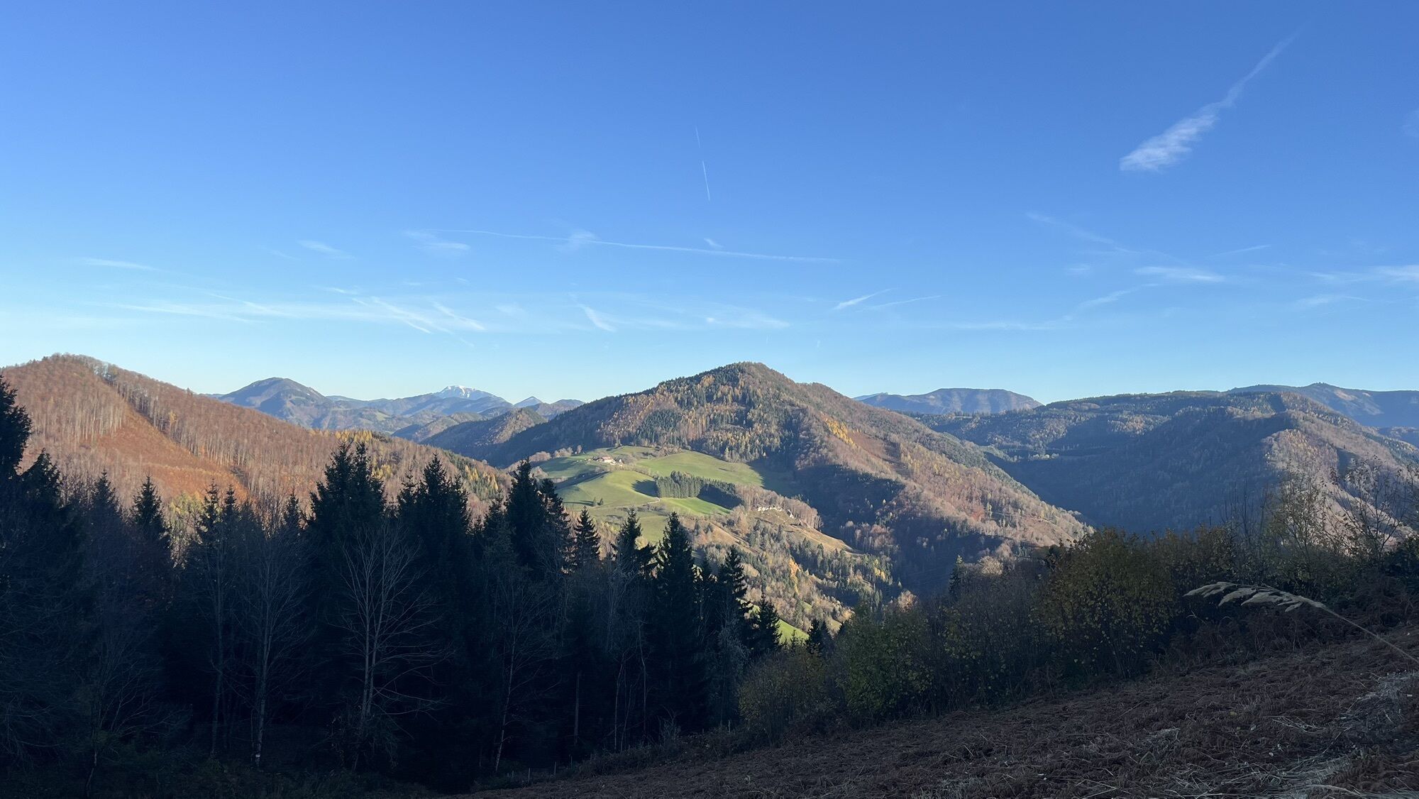
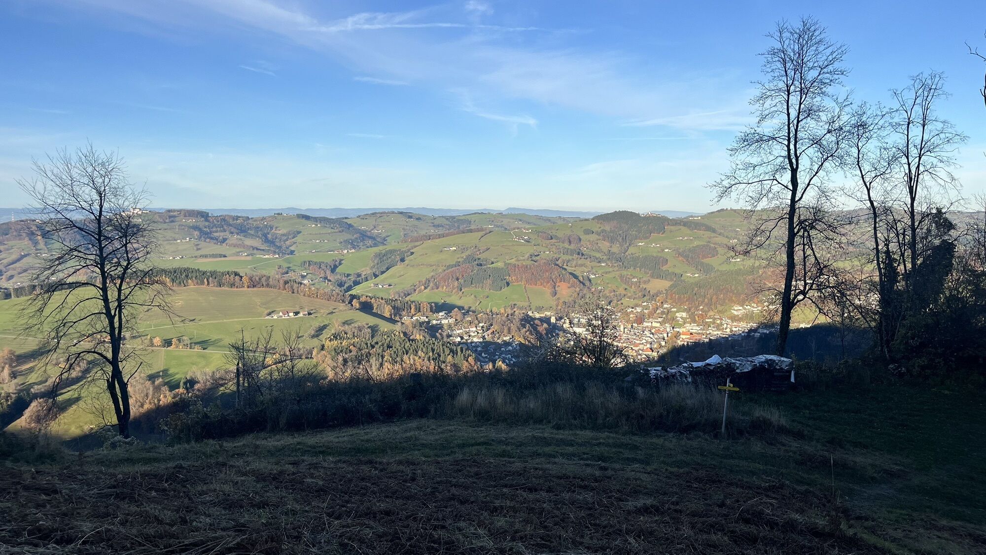
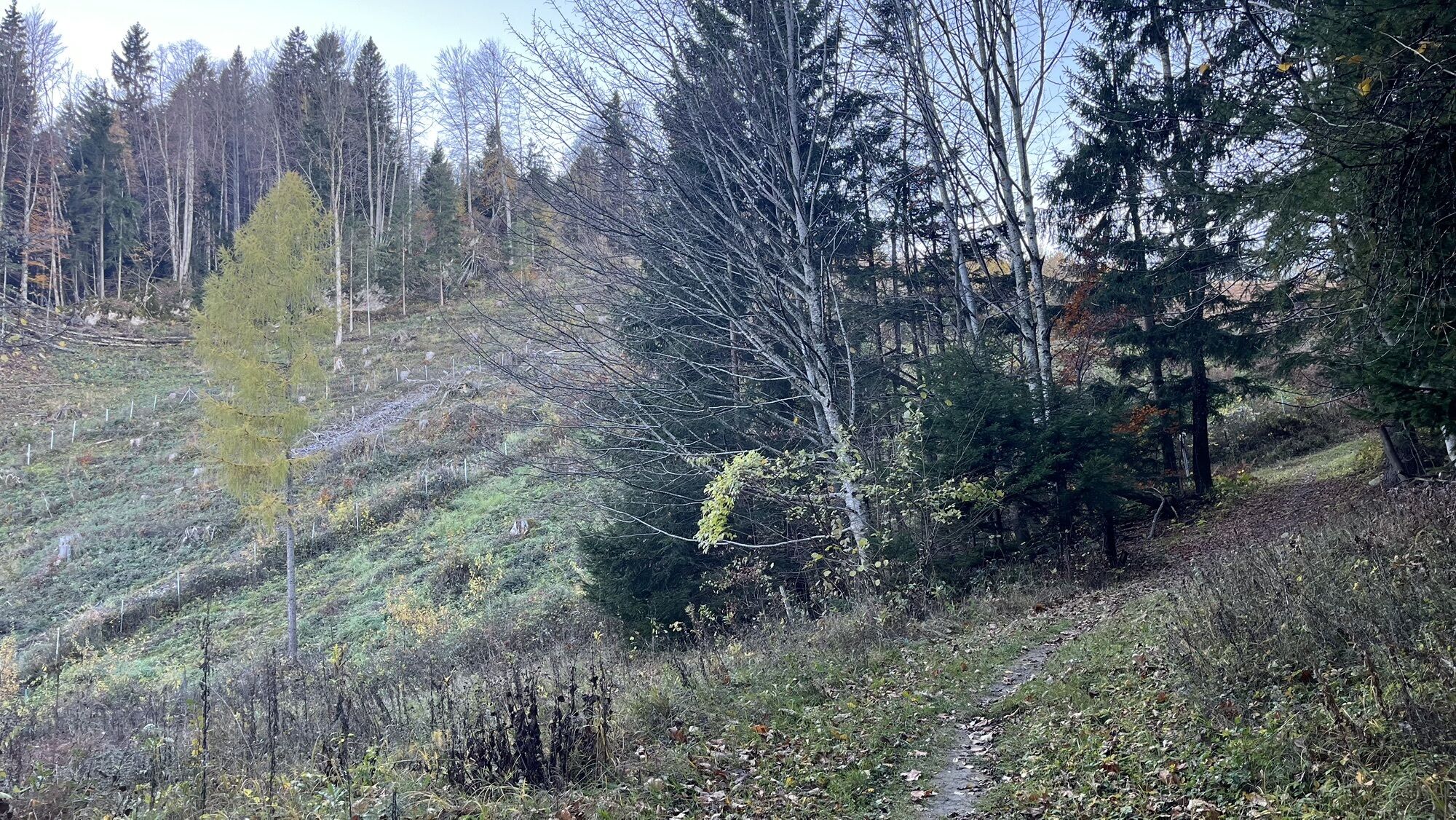
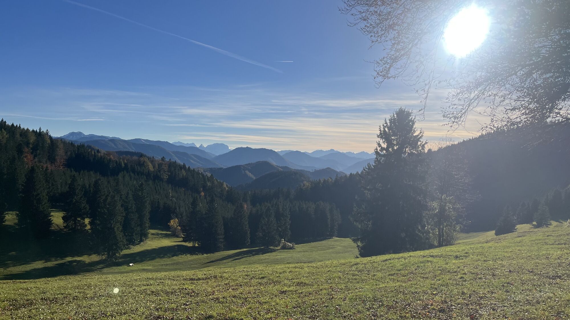
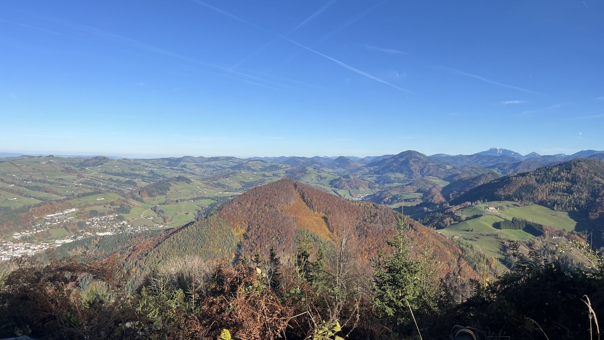
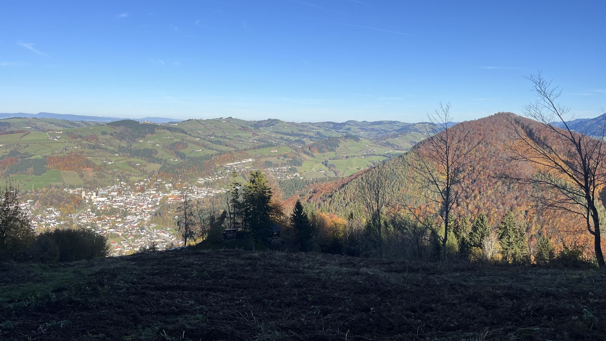
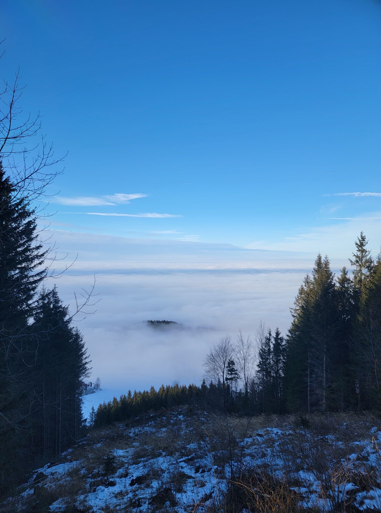
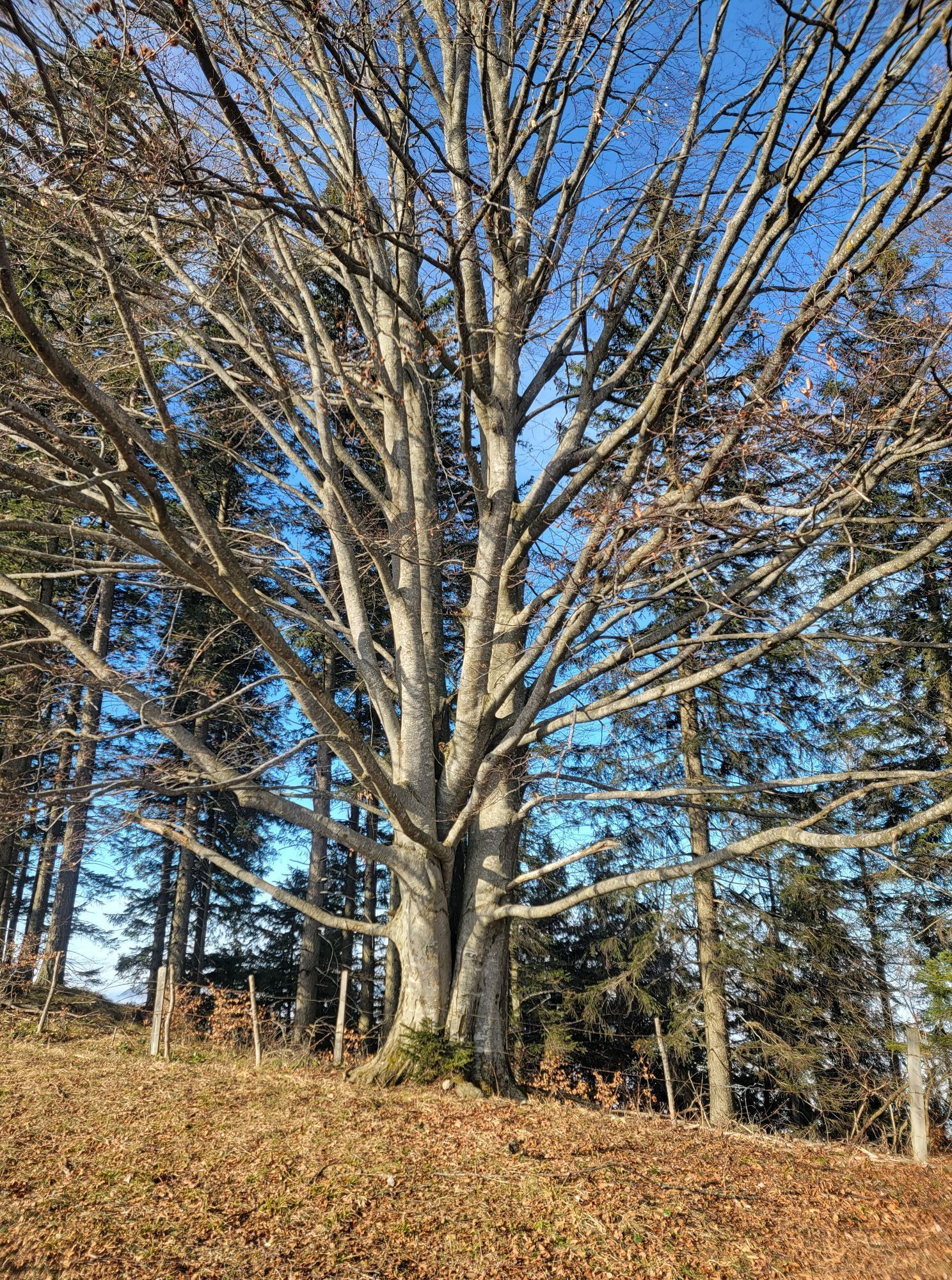
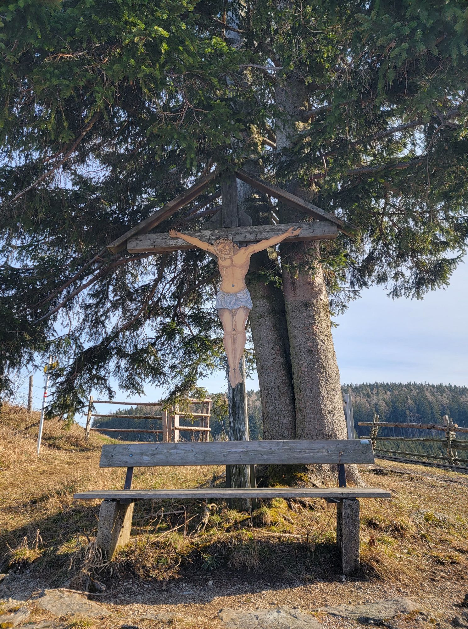
Once you have mastered the challenging, asphalted ascent (5km, 500m) to the Schnabelberg single trail, you will be rewarded with a playful trail and the best views. With tight bends, it tests its bikers...
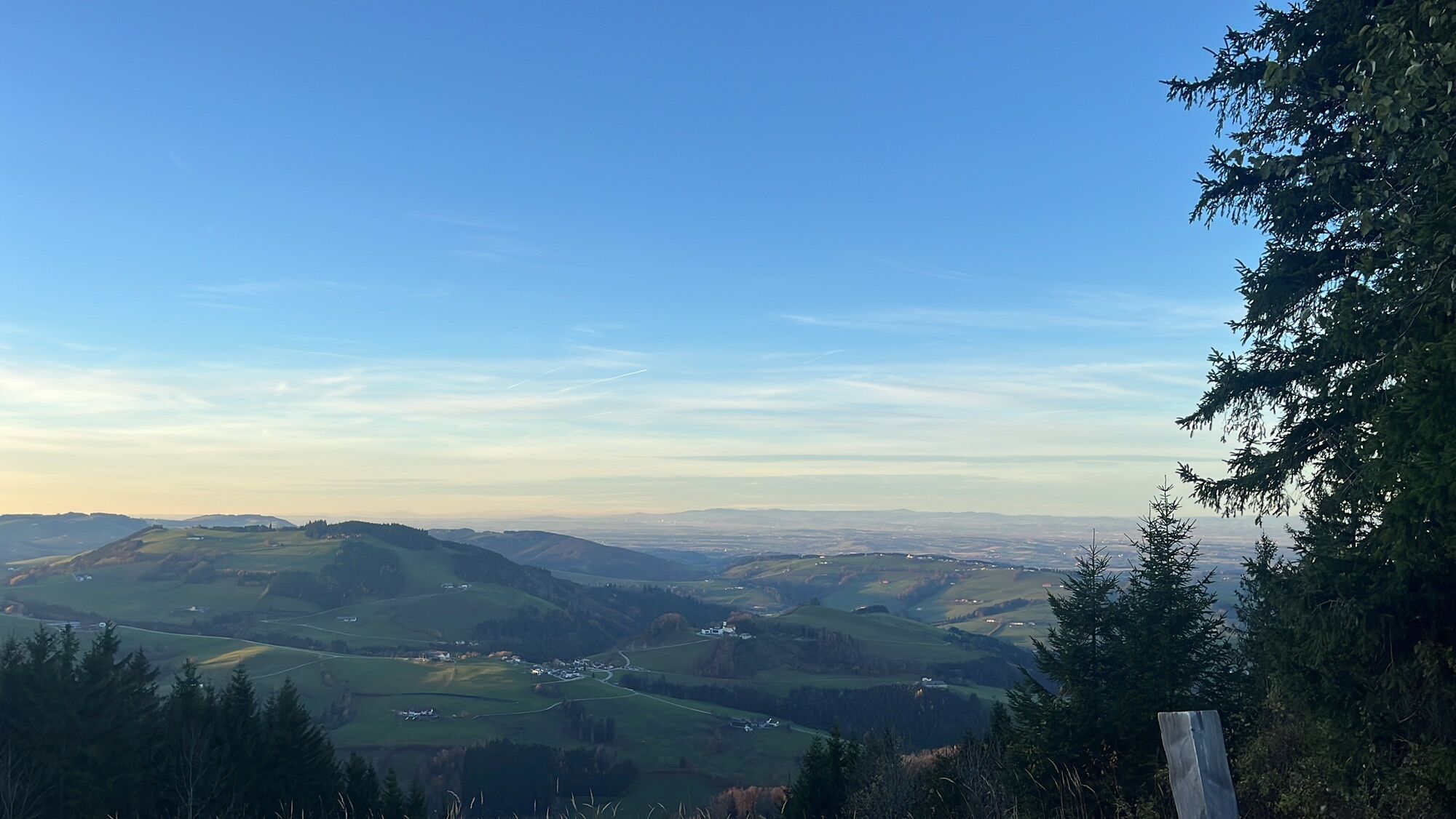
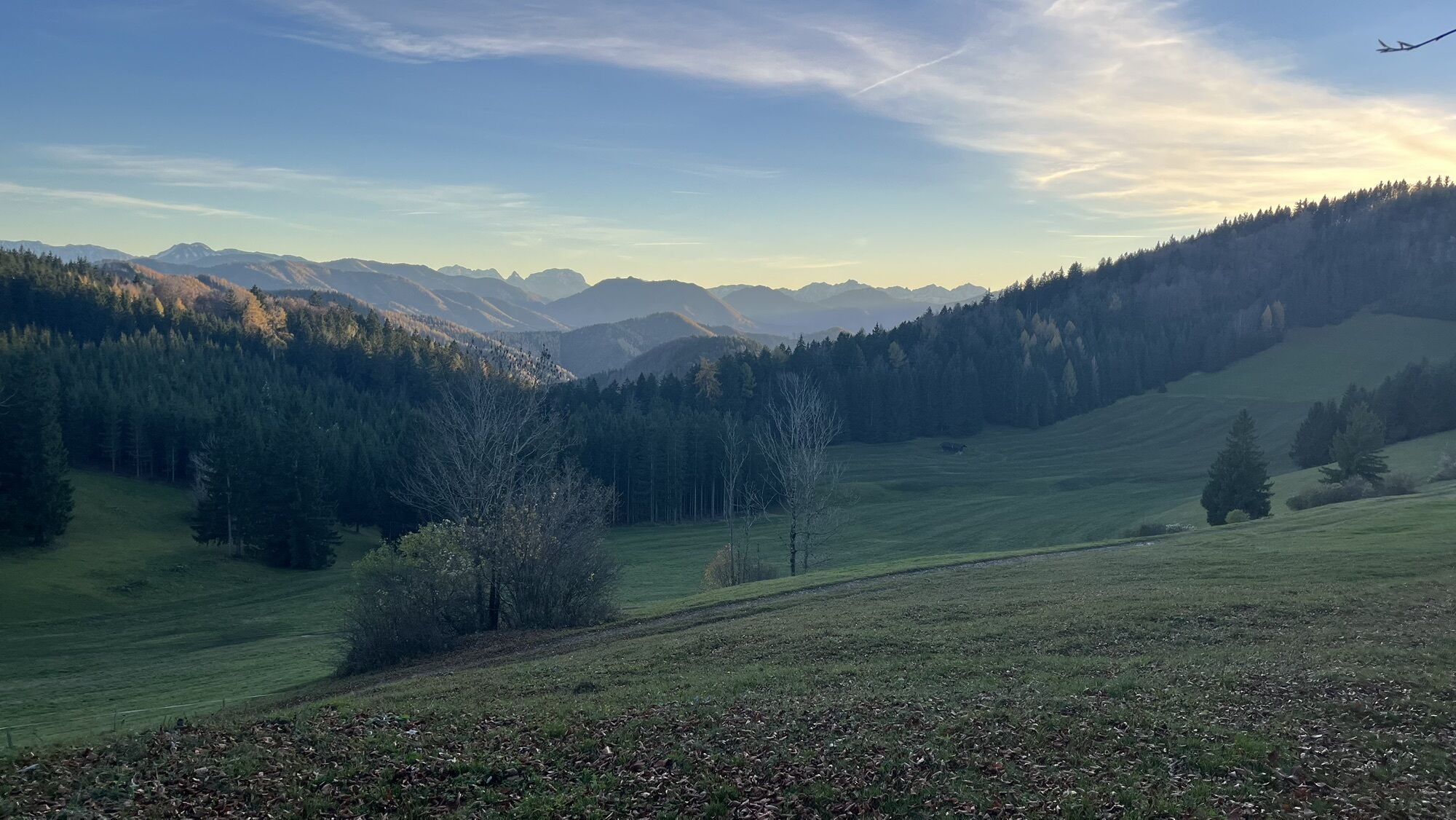
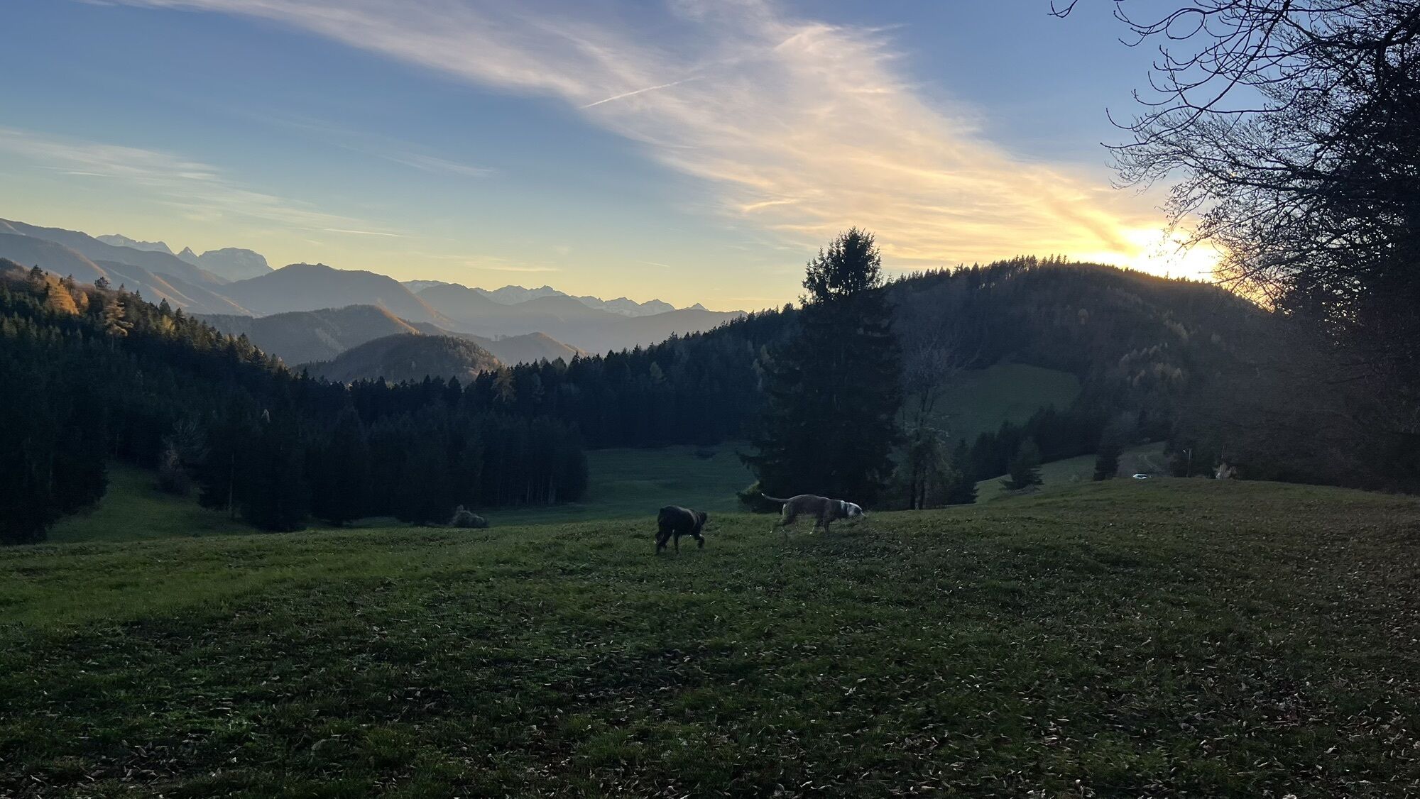
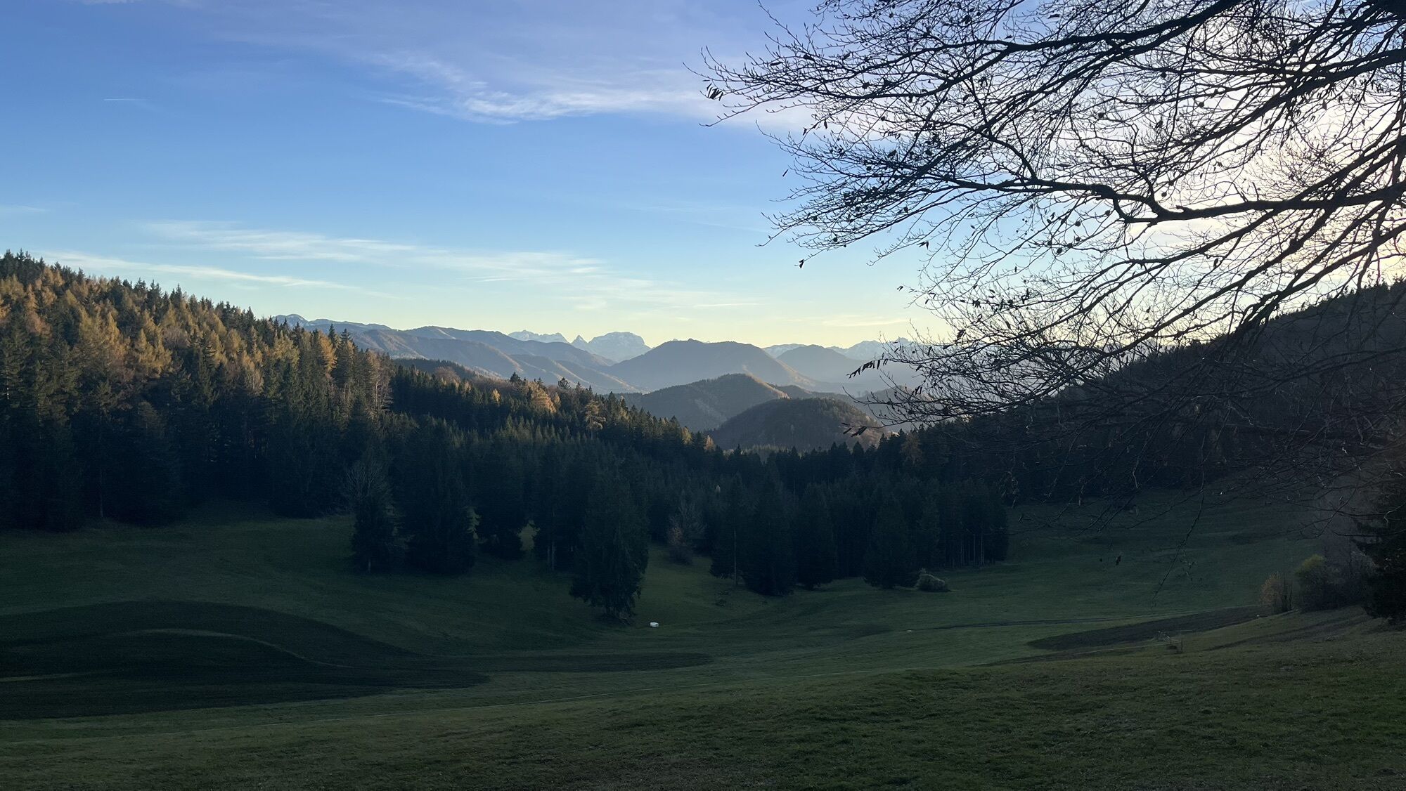
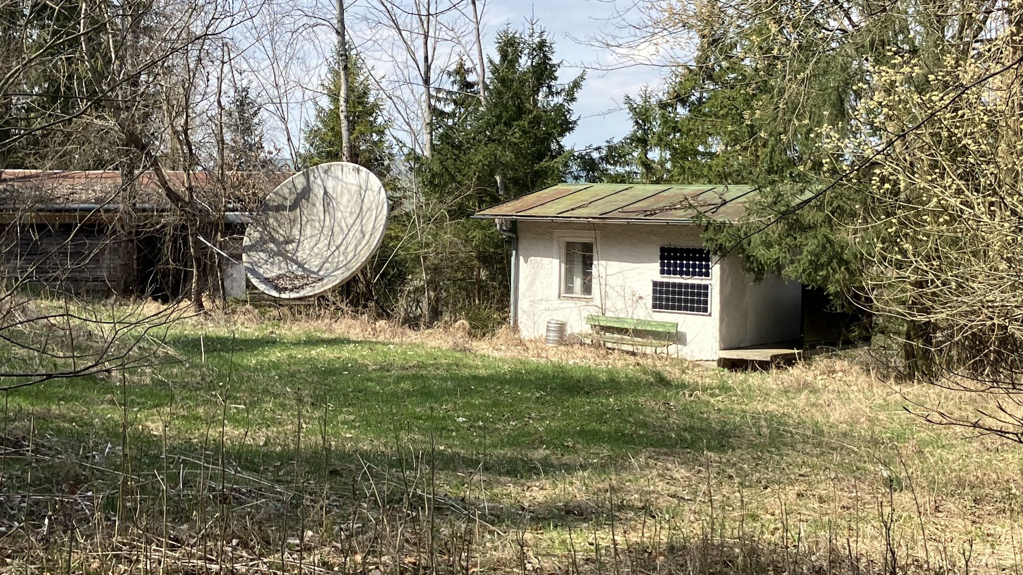
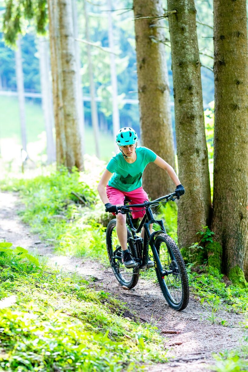
Once you have mastered the challenging, asphalted ascent (5km, 500m) to the Schnabelberg single trail, you will be rewarded with a playful trail and the best views. With tight bends, it tests its bikers right at the start, before a clearing offers a fantastic view of Waidhofen, the Sonntagberg and deep into the Ybbstal Alps. Some high berms on a wide meadow characterize the following section to the mountain rescue hut, where you can take a short break and recharge your batteries for the difficult second part. This section, which can also be ridden as a short version, requires maximum concentration, balance and riding skills between roots, small ramps and steep bends before you reach the marble bike course at the end of the trail.

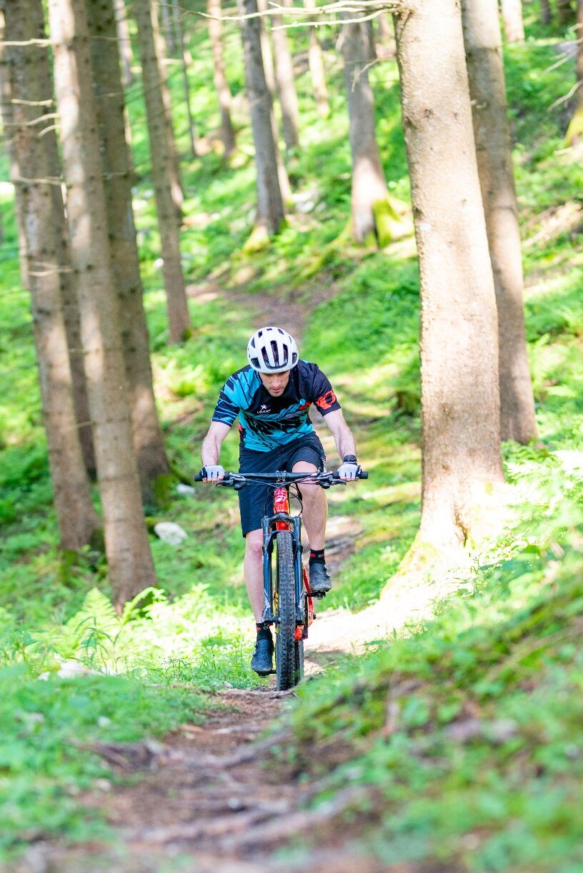

From the junction of Redtenbachstraße, Schnabelbergstraße (Landeshauptmann Steinböck-Straße) leads 5 km uphill with gradients partly over 15%, exactly 5 km and 500 m elevation gain, up to the Hahnlreith parking lot. There, the Schnabelberg singletrail begins with initially 1 km along the forest road and then turns half-left into the terrain. From there, follow the marked trail. About halfway, you reach the mountain rescue hut. After two-thirds of the route, you come back onto the asphalt road (caution when exiting the forest!!!) and then turn right to the last (most difficult) section of the Schnabelberg trail. Shortly before the end, there is a short narrow uphill section before the finish at the junction with the asphalt road.
Helmet mandatory! Additional safety gear/protective clothing highly recommended!
Usage times are oriented to sunrise and sunset and the associated activities and rest phases of the forest inhabitants:
March and October: 09:00 - 17:00
April and September: 08:00 - 18:00
May to August: 07:00 - 19:00
Liability for accidents or property damage is excluded.
Watch out for other forest users, especially slower route users and hikers. Forest inhabitants also deserve their rest! Therefore, bike only on the marked paths to protect the animal and plant life.
Adapt your riding style to your skills and the terrain and ride carefully (without locking wheels). Biking is at your own risk and only allowed with protective equipment.
From A1 motorway Amstetten West via B121 to Waidhofen/Ybbs (25 km).
Kronprinz Rudolfsbahn / ÖBB to Waidhofen/Ybbs. The nearest station to the trail is "Waidhofen/Ybbs Stadt"
Free parking at the local train station, Pocksteinerstraße 31. From there approx. 3 km to the trail end or start of the uphill asphalt road.
Ybbstaler Alps Tourism Association
Schlossweg 2, 3340 Waidhofen/Ybbs
05/93049
Be sure to practice beforehand on the Rabenberg trails! Only those who feel confident there should dare the Schnabelberg!!!

Popularne wycieczki w okolicy
-
4,4
Kleine Gipfelrunde Glasenberg
światłoWędrówka 4,99 km -
4,3
Freithofberg
średniWędrówka 9,15 km -
4,3
Prochenberg von Ybbsitz
światłoWędrówka 6,29 km -
4,6
Lindaumauer, Maria Neustift
średniWędrówka 5,53 km -
5,0
Prochenbergrunde
średniWędrówka 5,96 km -
4,1
wanderung auf den alpl
średniWędrówka 8,18 km -
3,9
Lindaumauer (1103 m)
Wędrówka 3,40 km -
4,7
Falkenstein (993m) und Rotmäuer (837m) ab Güterweg Kochlöffel
średniWędrówka 6,49 km -
4,4
Prochenberg von Maria Seesal
średniWędrówka 9,20 km -
4,4
Friesling (1340m) ab Parkplatz Grosse Kripp
średniWędrówka 9,01 km
Wędrówki i tropienie


Nie przegap ofert i inspiracji na następne wakacje
Twój adres e-mail została dodana do listy mailingowej.





