


Loich panoramic route

The Loich panoramic circuit is a power route with constant ups and downs. Wonderful views of the Pielachtal, Soistal, Loich and the surrounding mountains with unique Ötscher views are the reward after...
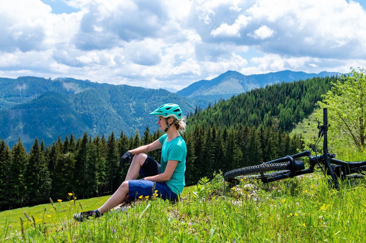
The Loich panoramic circuit is a power route with constant ups and downs. Wonderful views of the Pielachtal, Soistal, Loich and the surrounding mountains with unique Ötscher views are the reward after the strenuous climbs.

From Loich station in Dobersnigg, the route leisurely follows a few hundred meters along the Pielach, then turn right and after the railway crossing again right, along the access road. The sweat-inducing climb leads to the high-altitude farms, where the first views of the surroundings can already be enjoyed. The descent leads into the castle area, turn right at the intersection and follow the access road. After about 1.5 km, the next climb begins to Hof Burgstall. The magnificent view compensates for the strenuous climb. After Hof Burgstall, first turn right onto a forest road and then follow the narrow forest path down into the Schwarzgraben and to the main road. For a short time, the Loichbach accompanies towards the south, then turn right and the next climb begins, initially following the access road Ödgegend, then turn right to the Günther chapel, from where Ötscher appears so close. A forest road goes around the Schnabelstein, one of the most beautiful sections of the route. At the end of the forest road, a steep, narrow, and rocky descent (only for experienced mountain bikers) leads to the access road Klein Holzsteig and after the effort, enjoy the descent down to Loich and back to the station.
Please note the winter closure of this and all other MTB routes in the Mostviertel from November 1 to April 14.
Thank you for your understanding!
A1, exit St.Pölten South, right towards Traisen and Pielach valleys, turn right at the traffic light towards Obergrafendorf/Kirchberg on the Pielach/Pielach valley, Pielach valley federal road to Dobersnigg, left over the bridge to Loich
Mariazellerbahn Loich station
Municipality of Loich
Tel. 02722/82 25
E-mail: gemeindeamt@loich.gv.at
www.loich.gv.at
Mostviertel Tourism
Töpper castle Neubruck
Neubruck 2/10, 3283 Scheibbs
T +43/7482/204 44
info@mostviertel.at
www.mostviertel.at
Loich adventure farms & Loich local history museum
Popularne wycieczki w okolicy
-
4,9
Hohenstein von Sois
średniWędrówka 12,0 km -
4,8
LILIENFELD Grünes Tor Muckenkogel Hinteralm Klosteralm 20201025
średniWędrówka 11,7 km -
4,6
Eisenstein Rundweg von Türnitz-Knedelhof
światłoWędrówka 10,2 km -
4,3
Kaiserkogel mit Start und Ziel in Eschenau
światłoWędrówka 10,2 km -
3,1
Tirolerkogel
średniWędrówka 5,65 km -
4,8
Schrambach Hohenstein Himmel Schrammbach 06.08.2016
średniWędrówka 17 km -
4,8
Türnitz - Eisenstein Türnitz, Niederösterreich
średniWędrówka 15,5 km -
4,3
Lilienfeld Kolm Hinteralm Traisenhütte 20.02.2017 leichte Schitour
światłoWycieczka narciarska 11 km -
4,9
Annaberg Pfarrboden Hennesteck Annaalm retour Schitour 01.01.2015
światłoWycieczka narciarska 10,6 km -
4,4
Hohenstein 1195m - Sois im Pielachtal
światłoWędrówka 10,6 km

Wędrówki i tropienie


Nie przegap ofert i inspiracji na następne wakacje
Twój adres e-mail została dodana do listy mailingowej.