






E-Bike Tour Schindlhütte

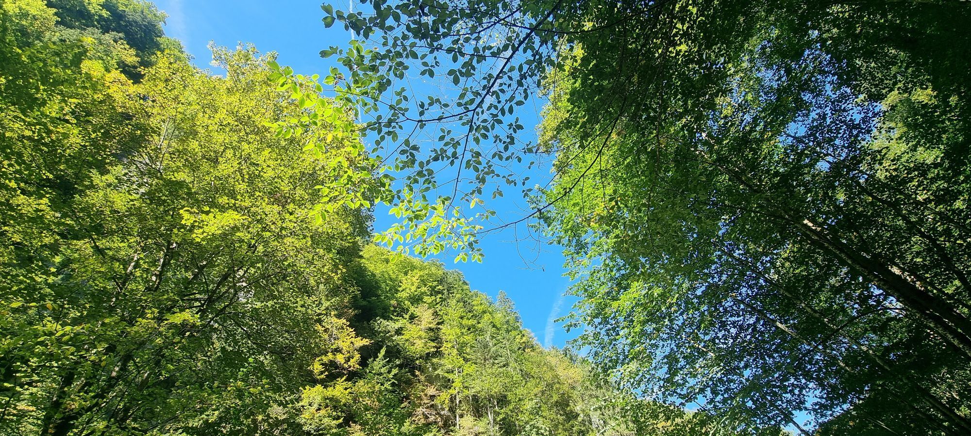
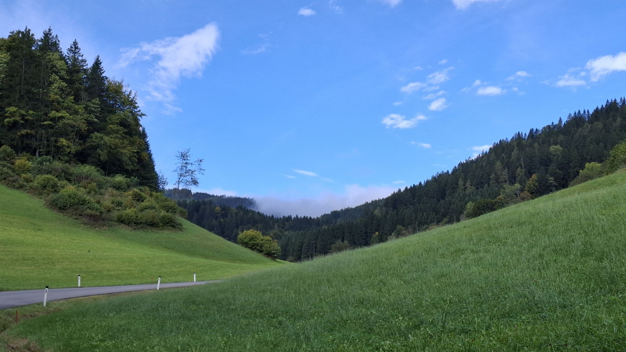
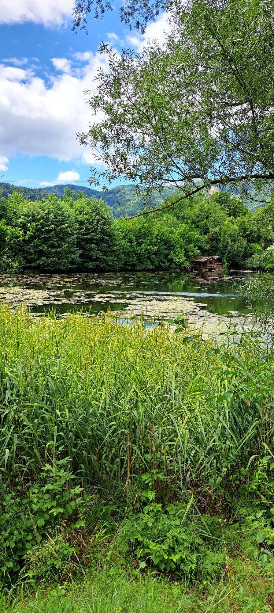
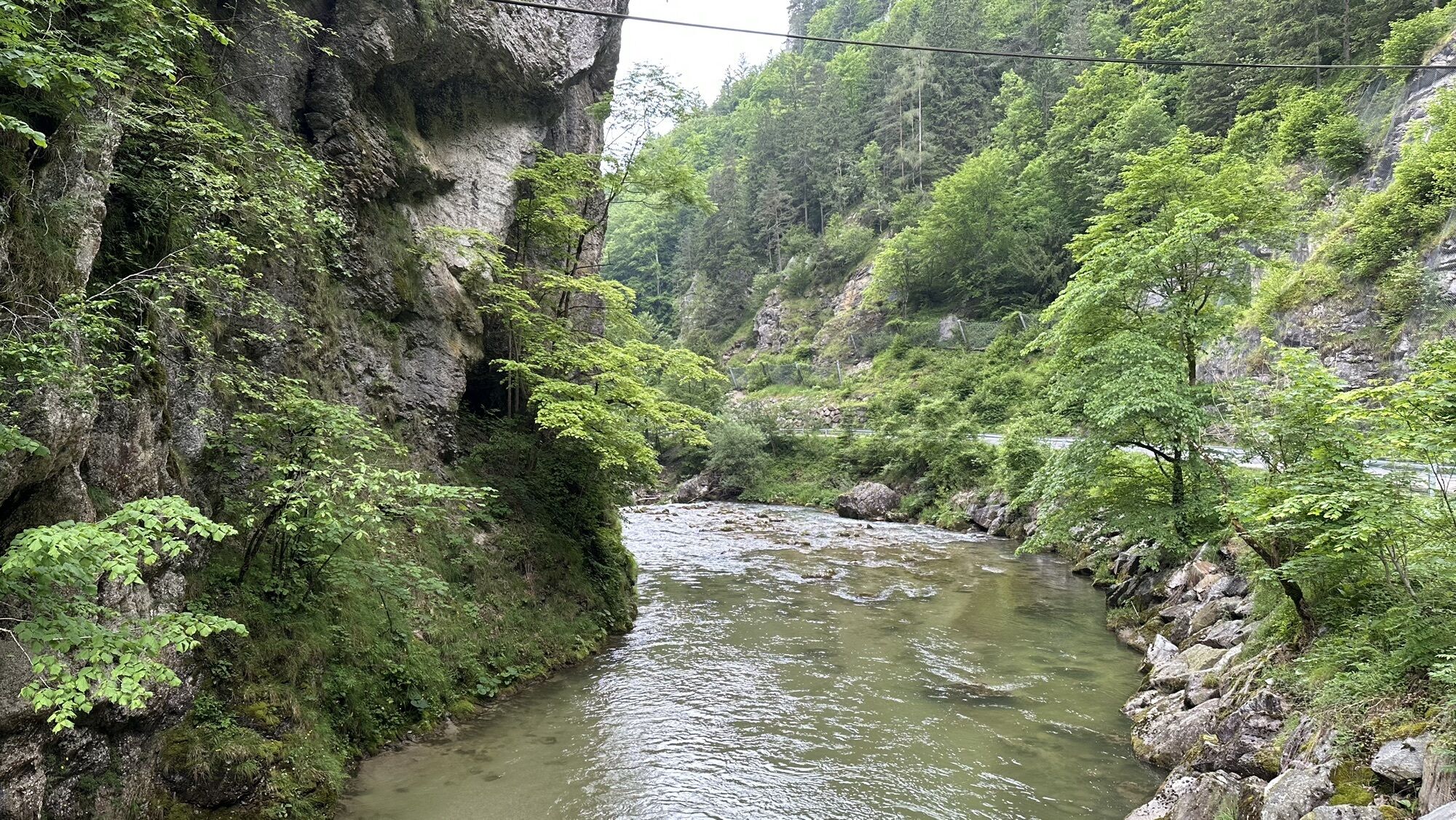
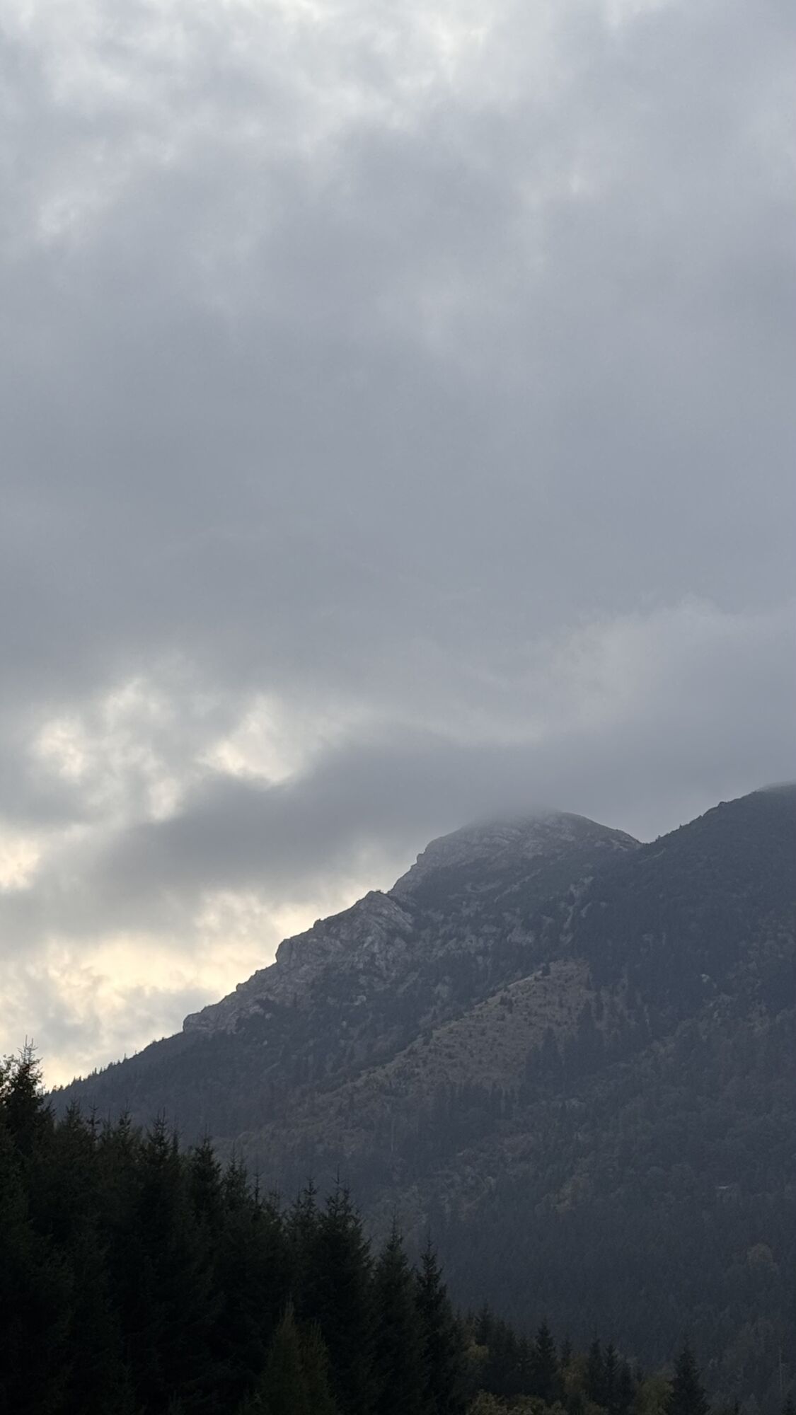
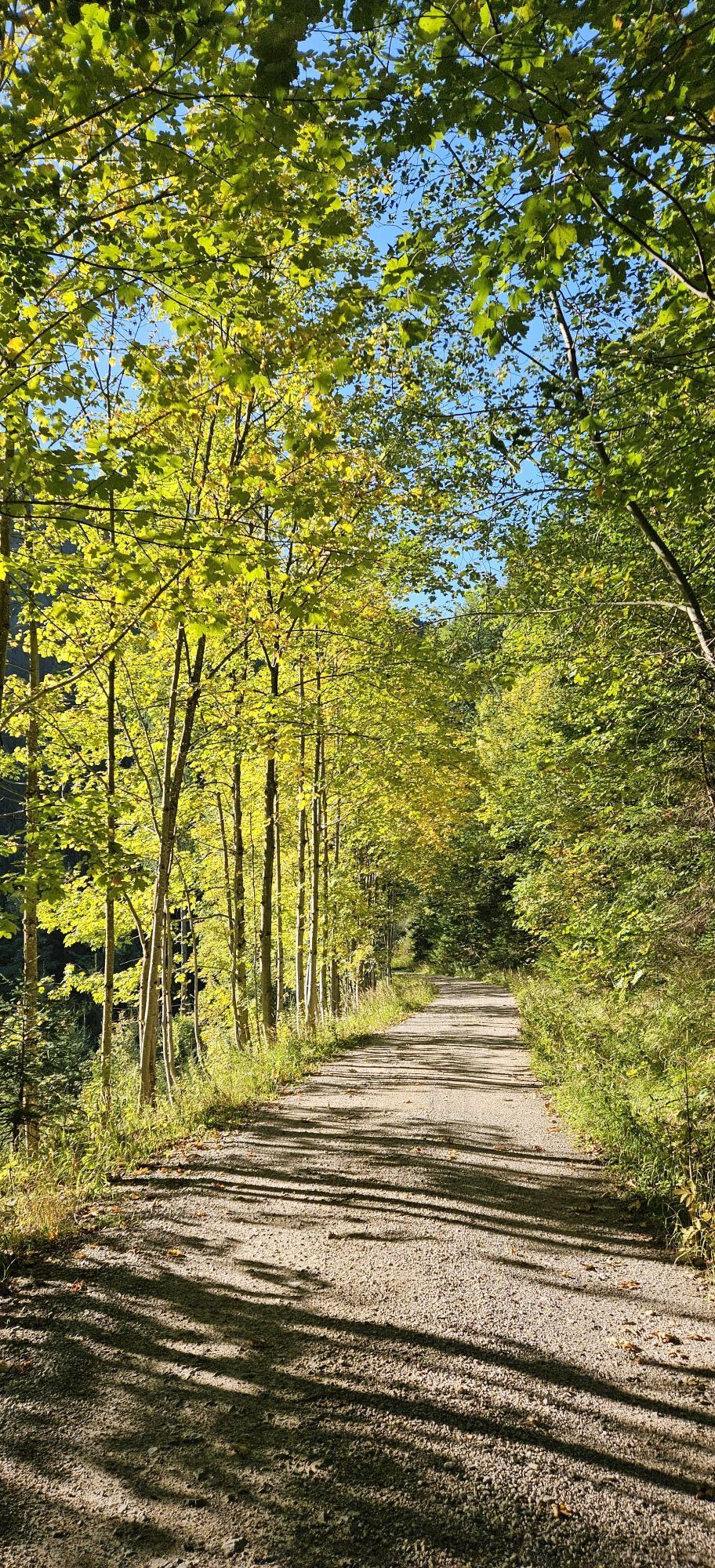
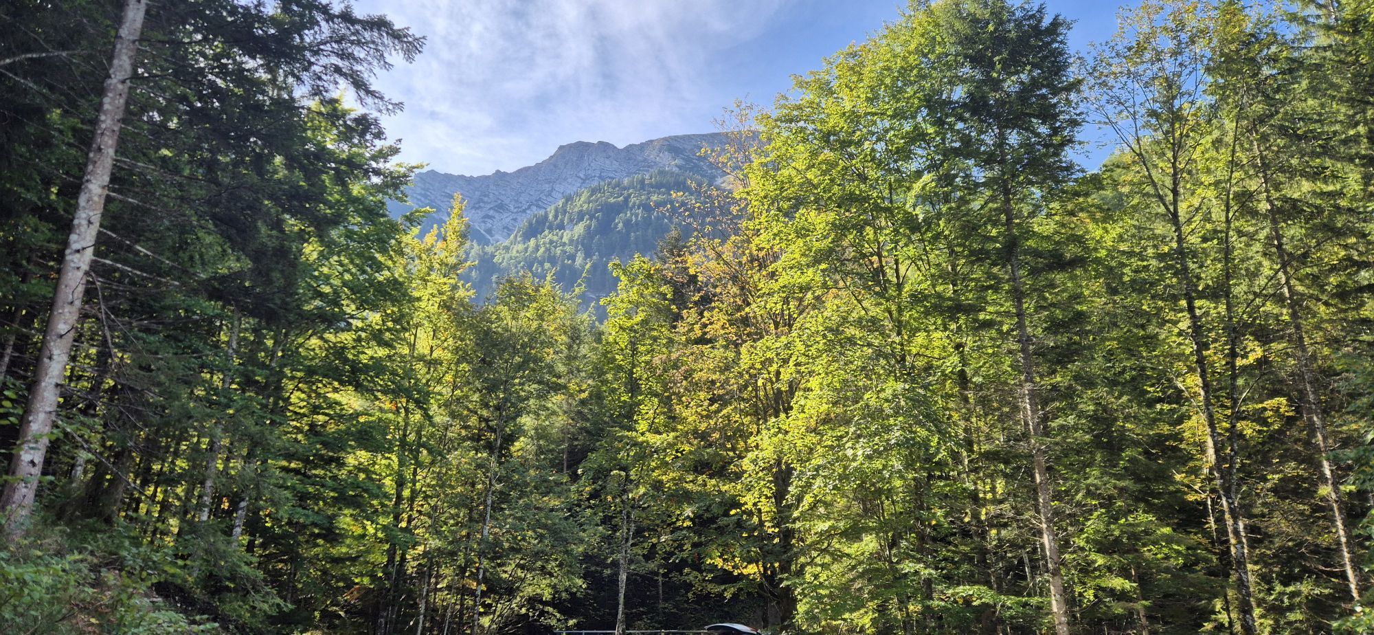
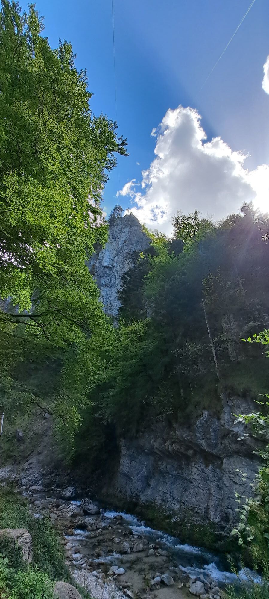
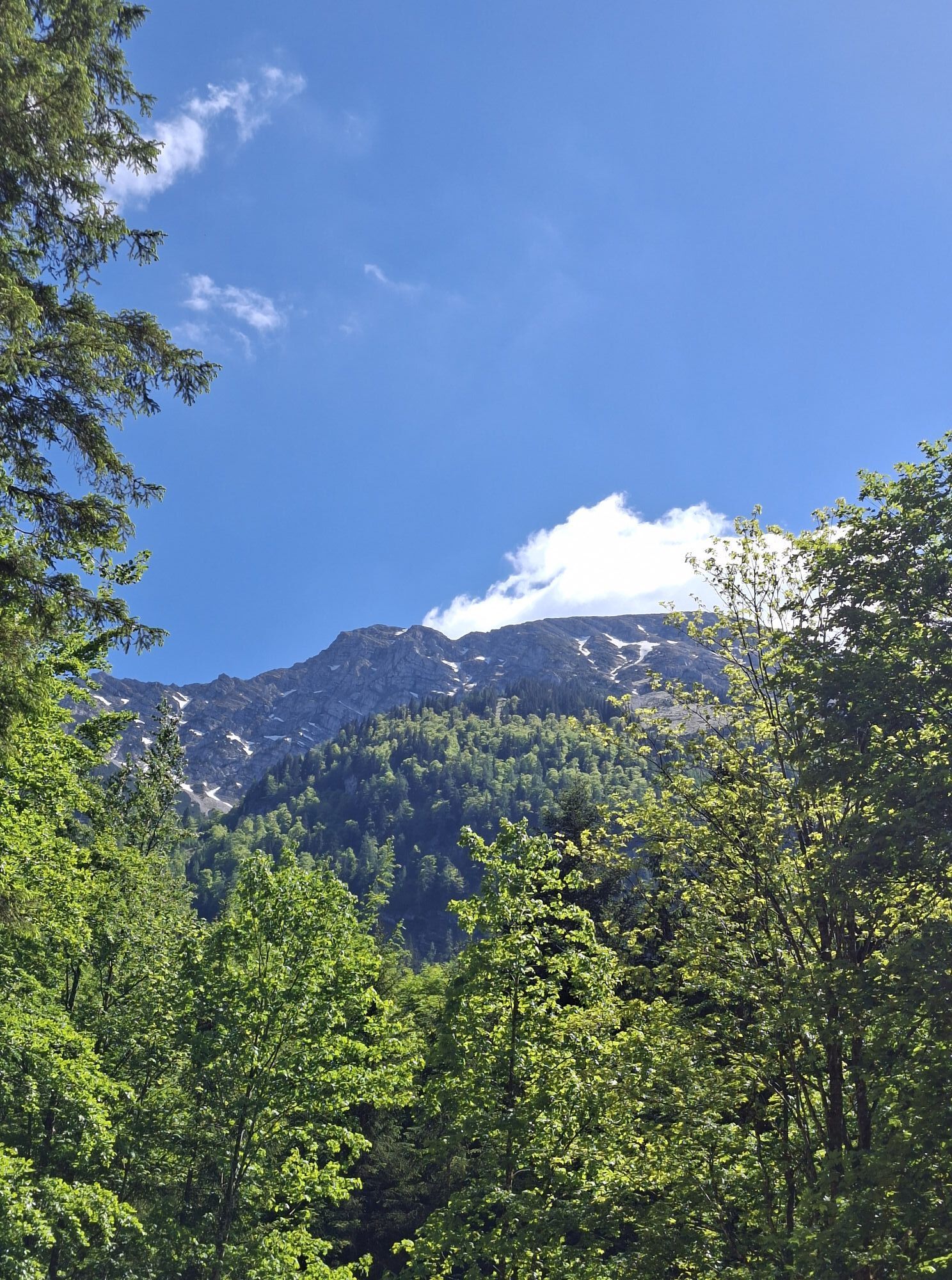
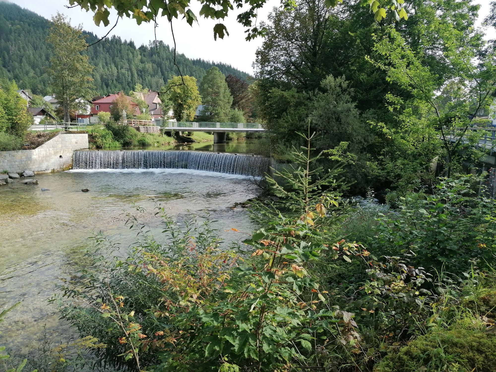
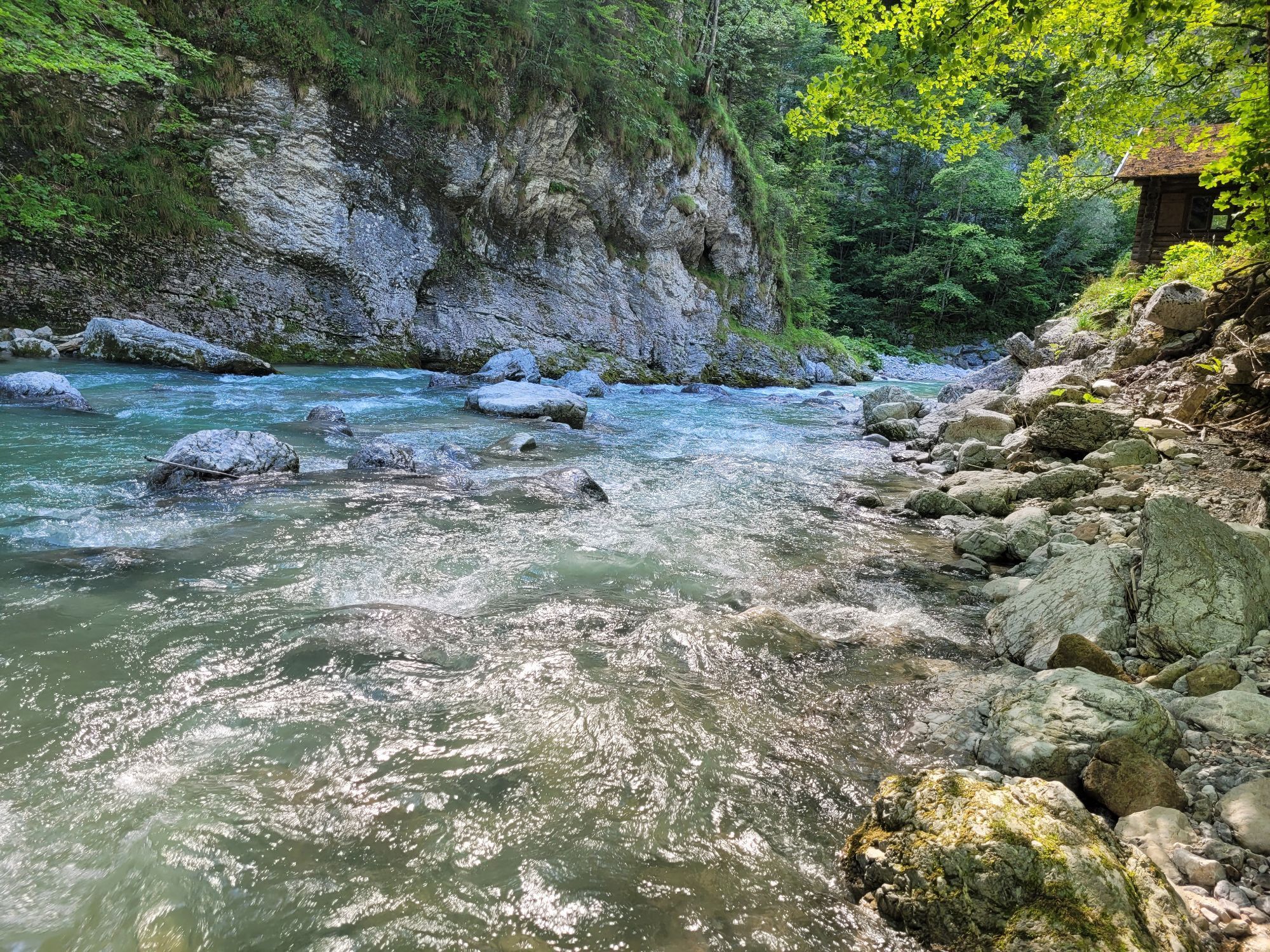
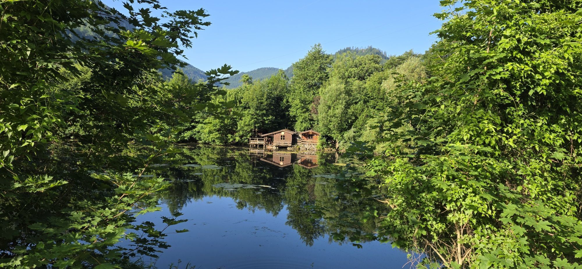
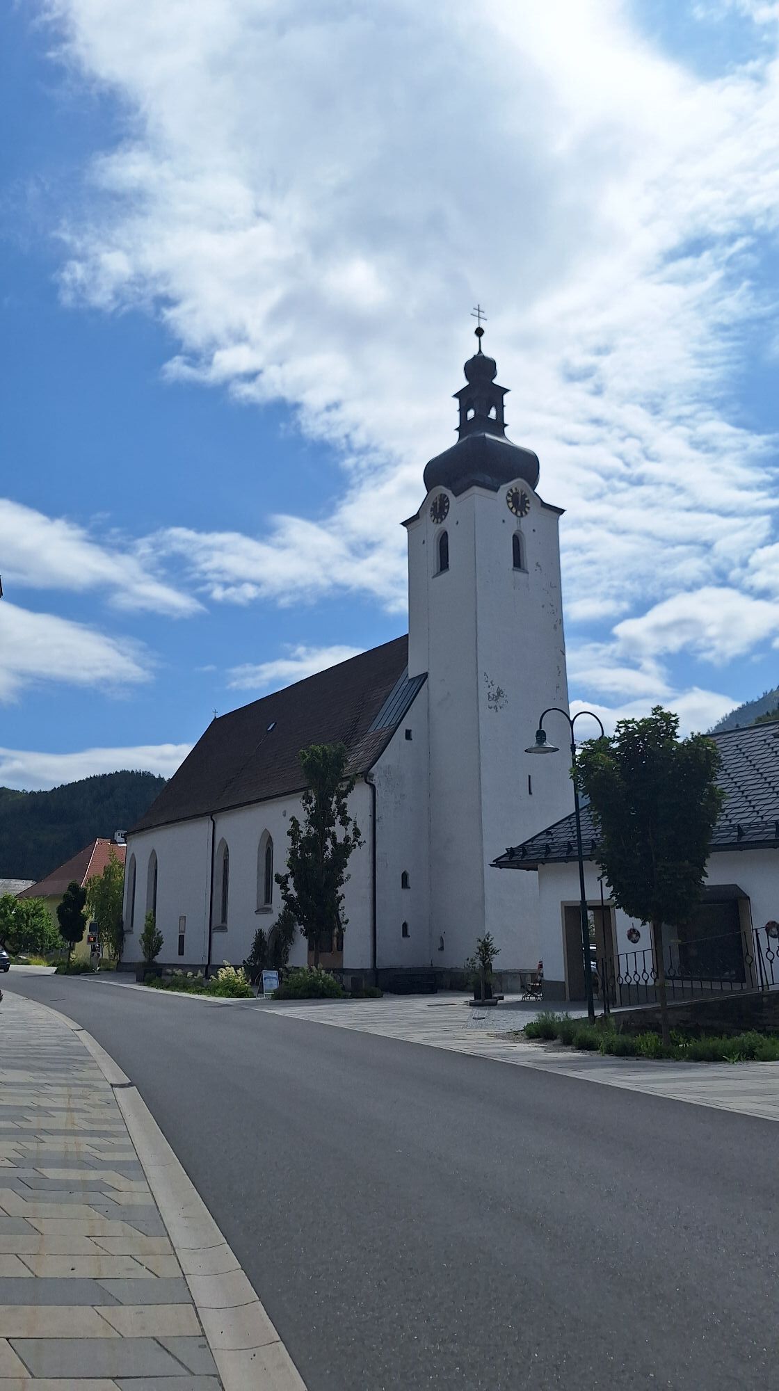
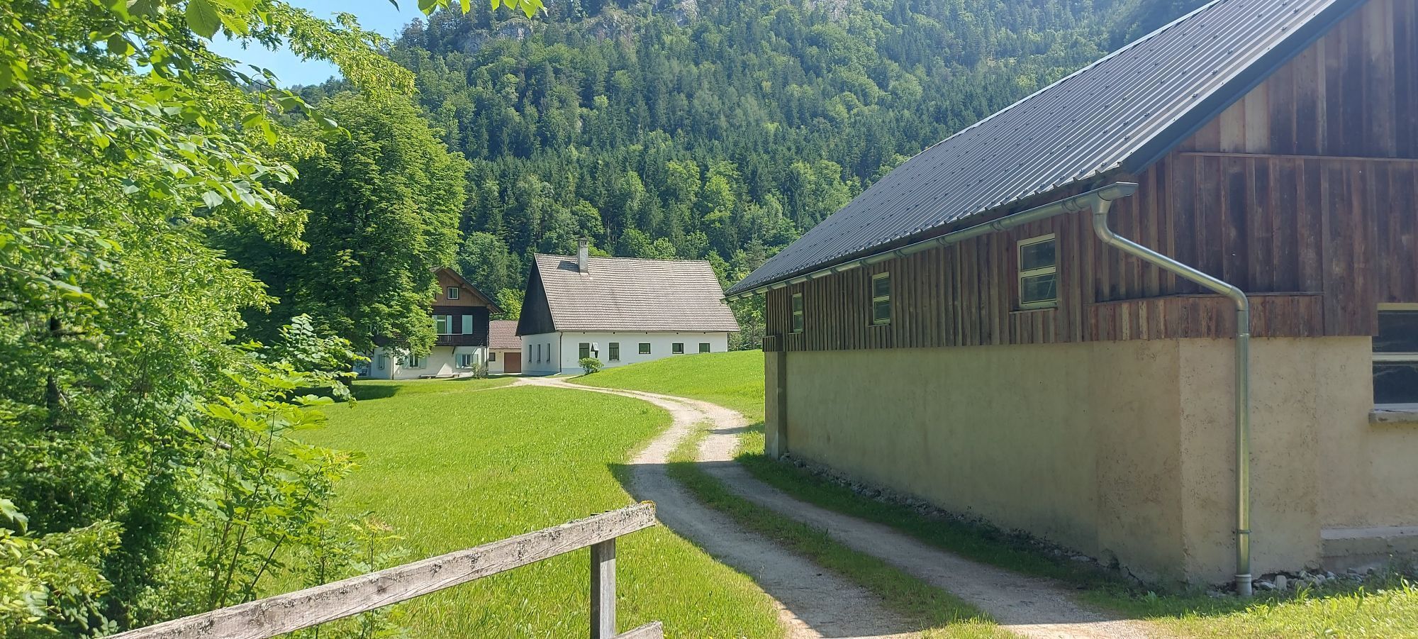
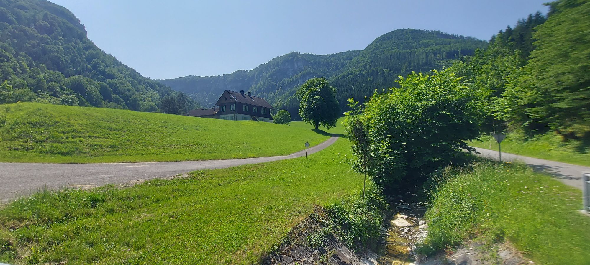
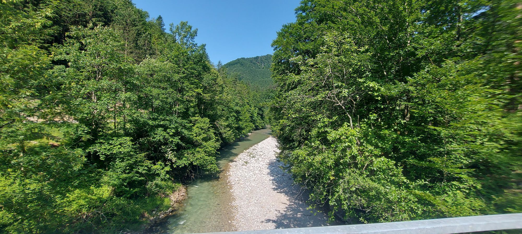
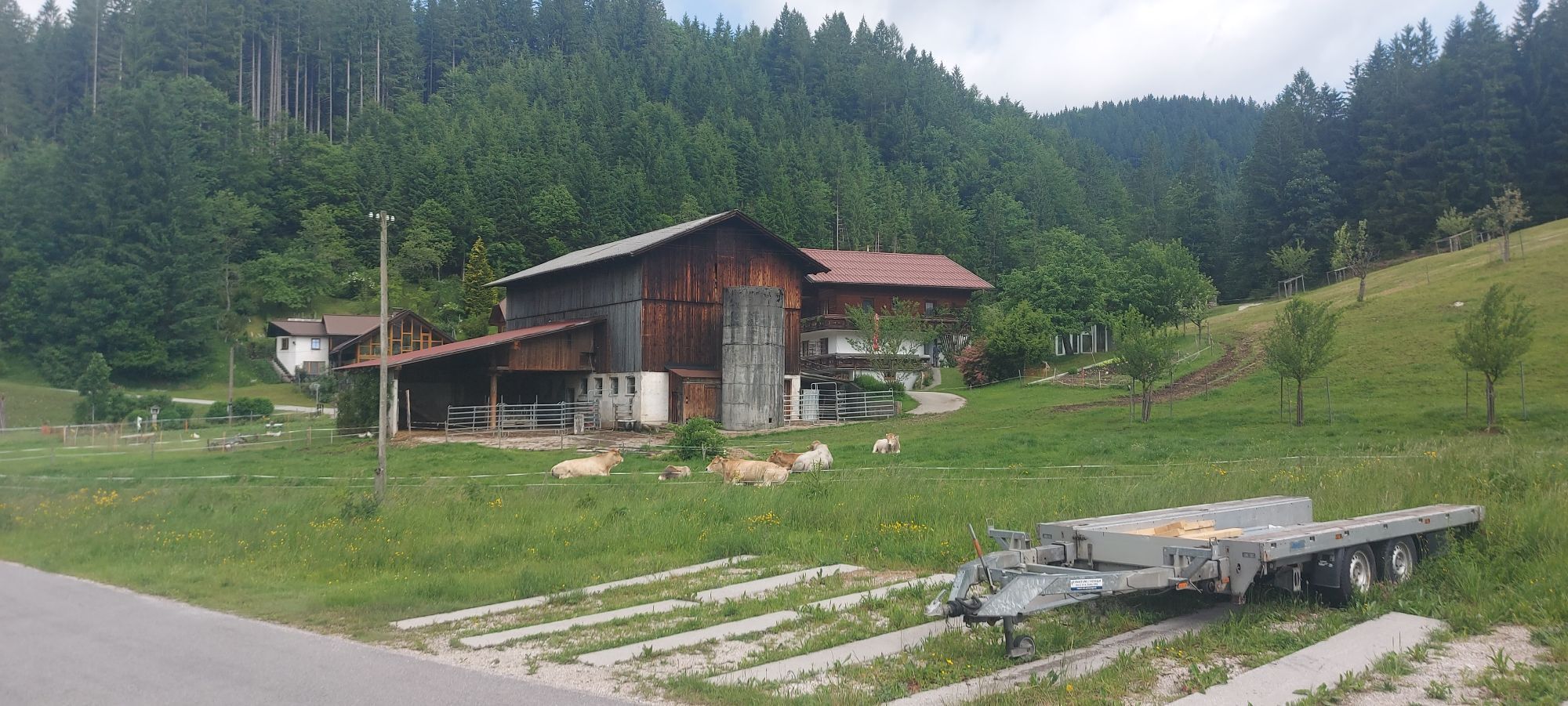
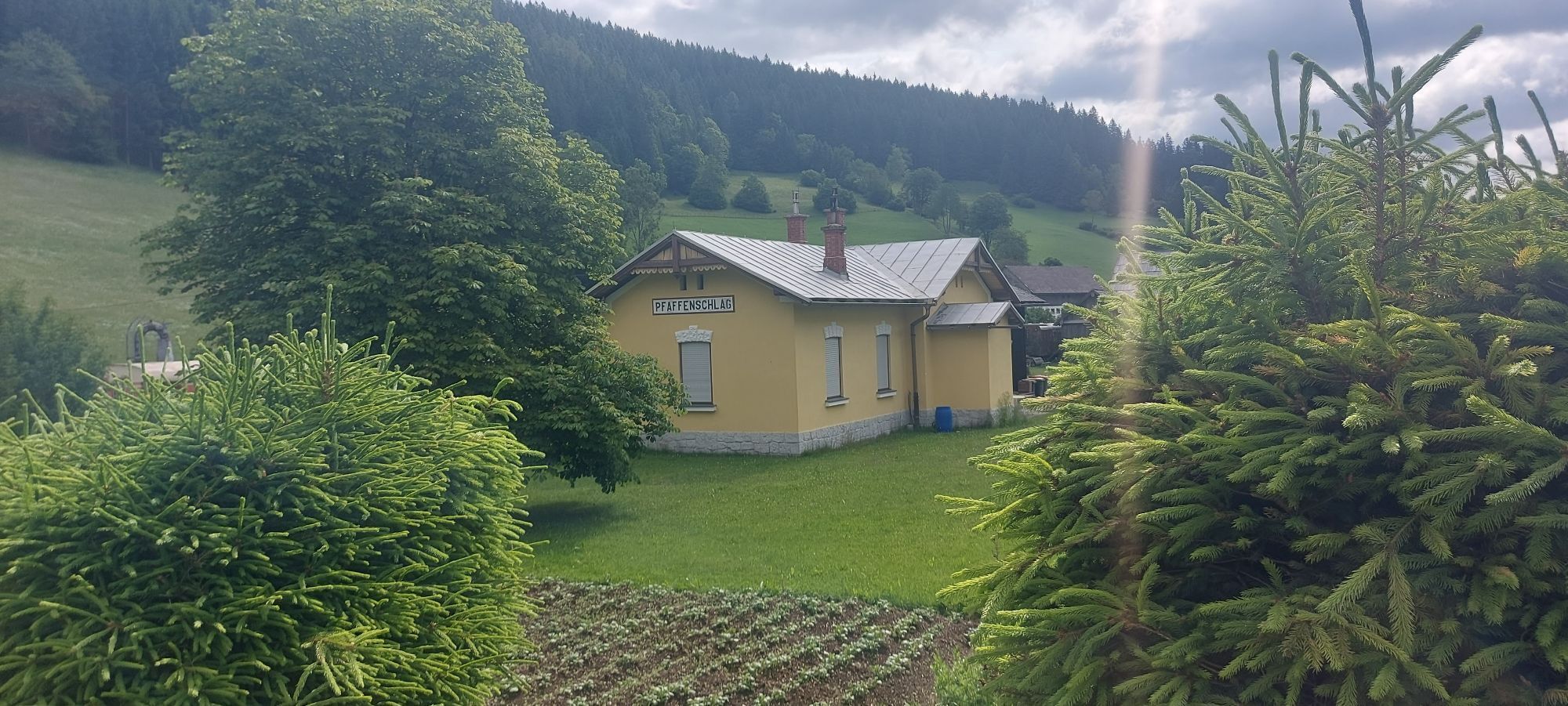
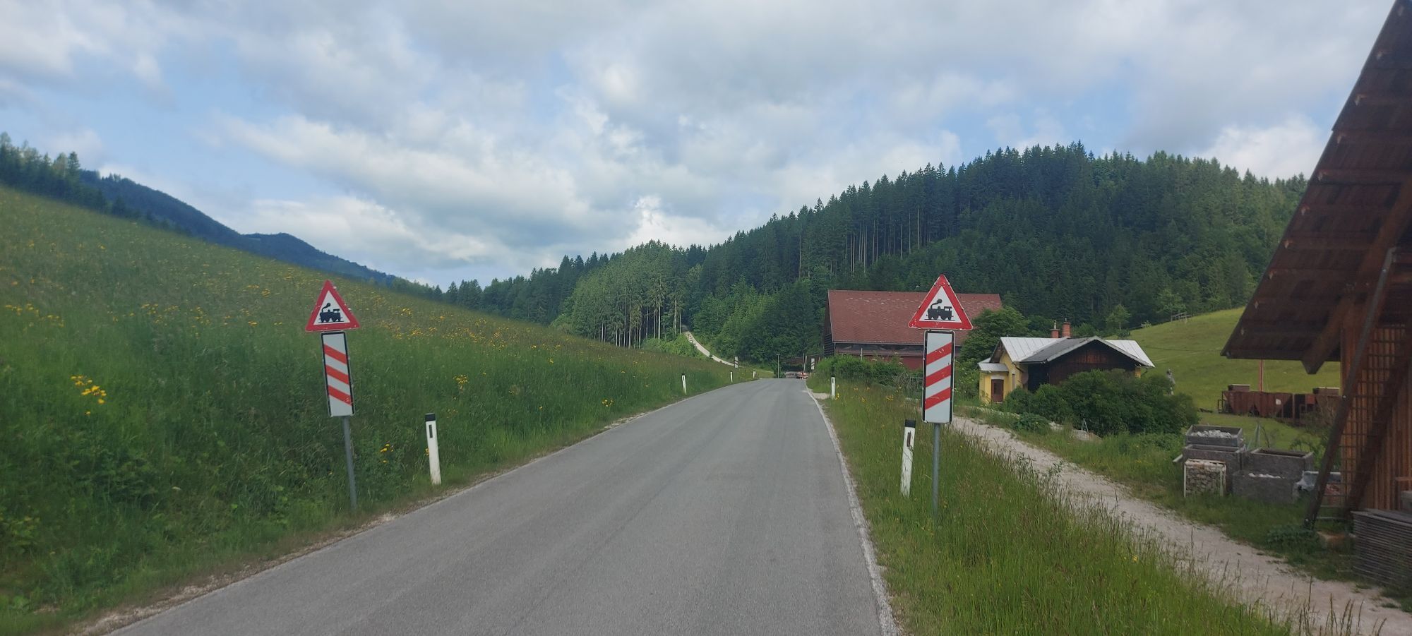
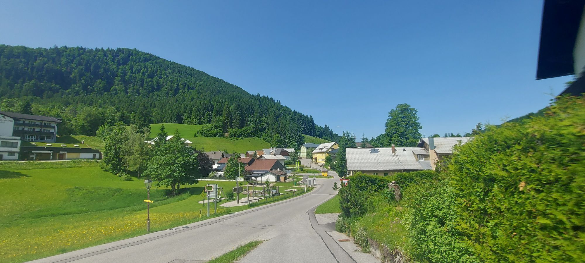
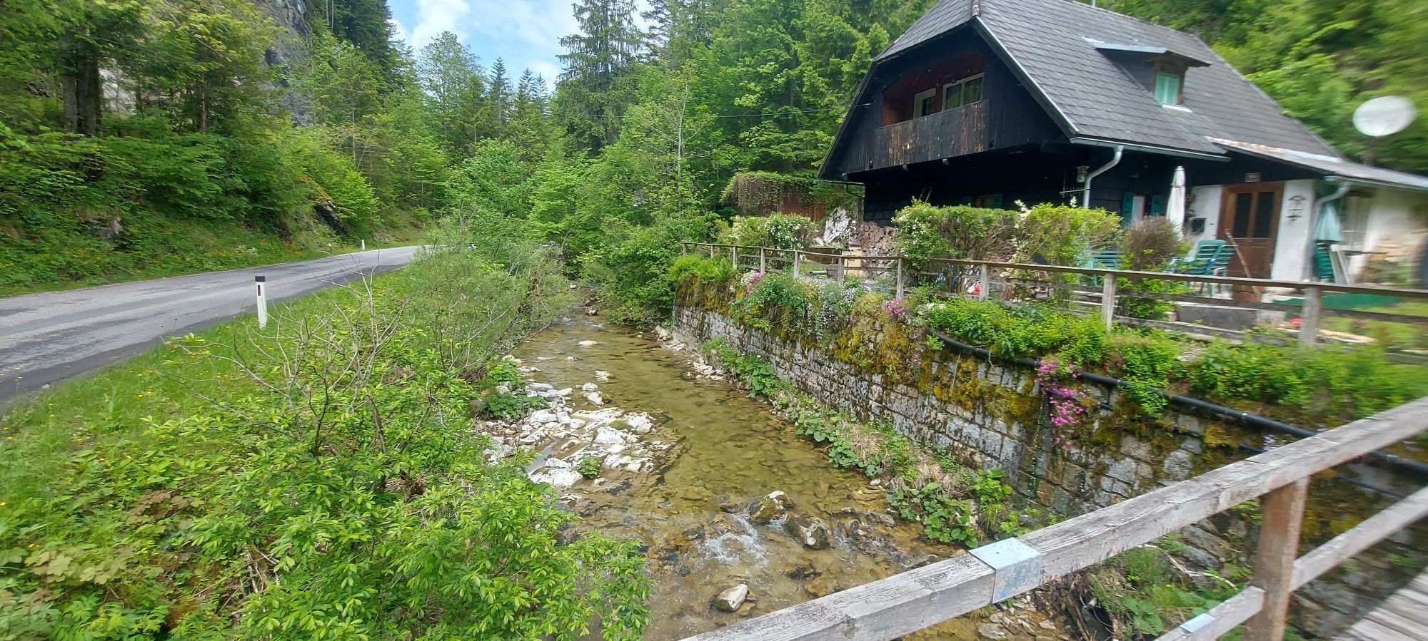
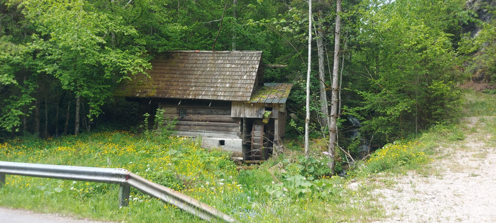
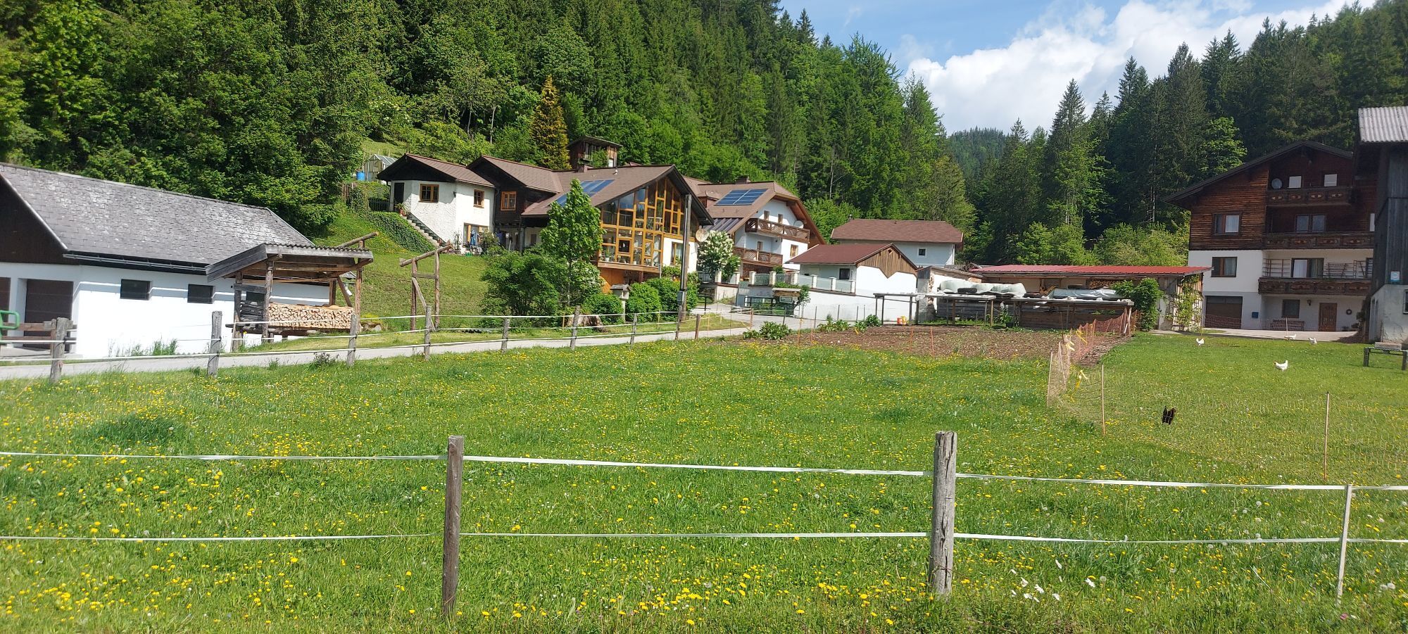
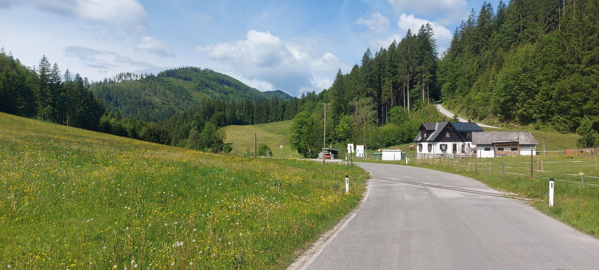
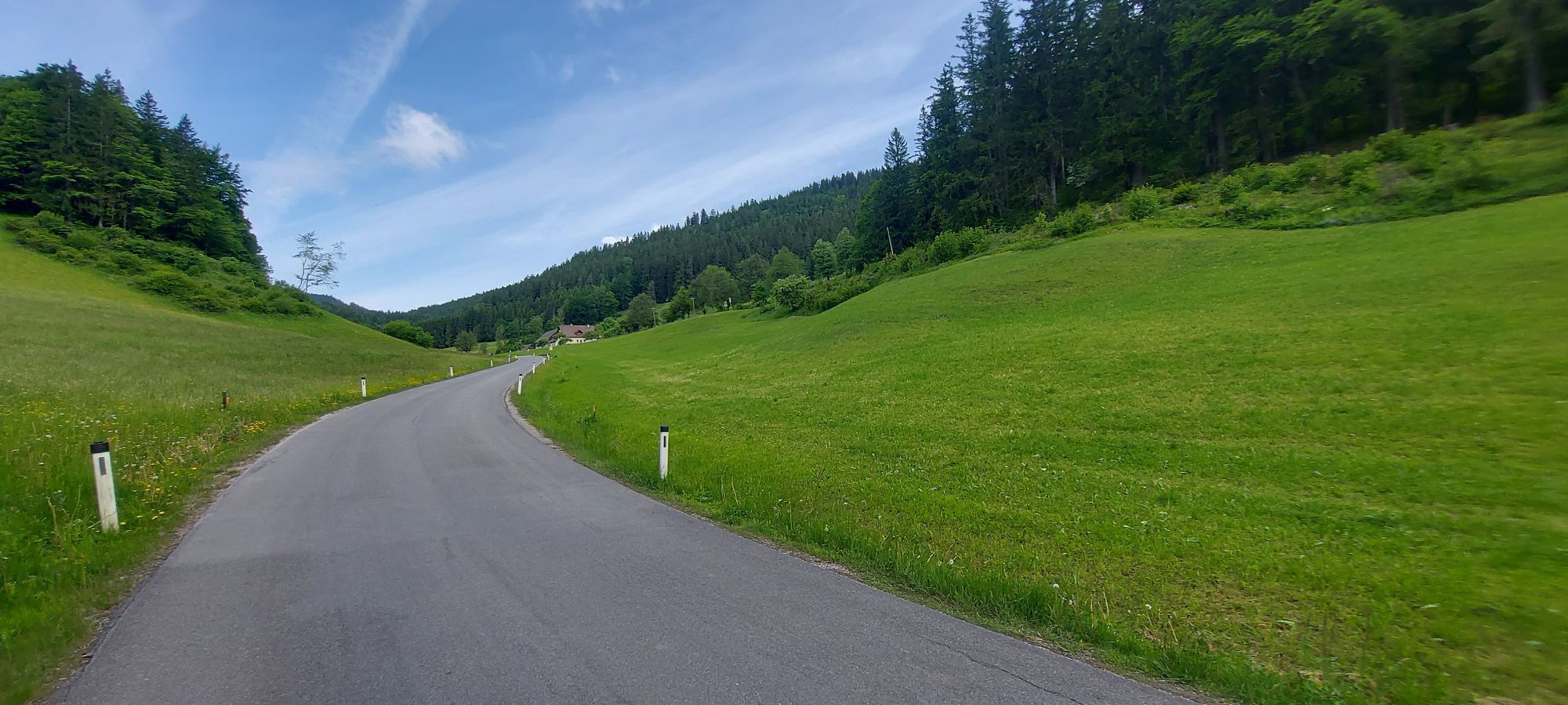
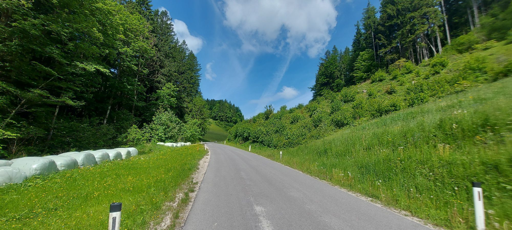
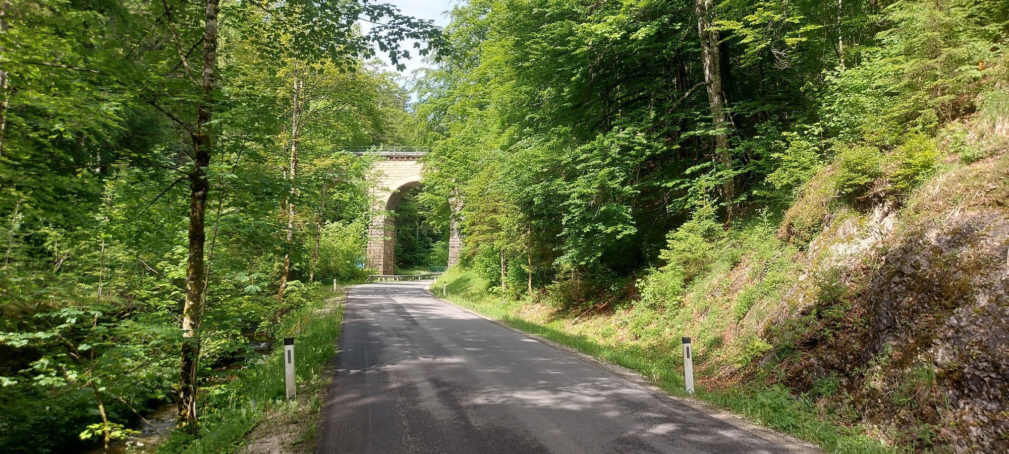
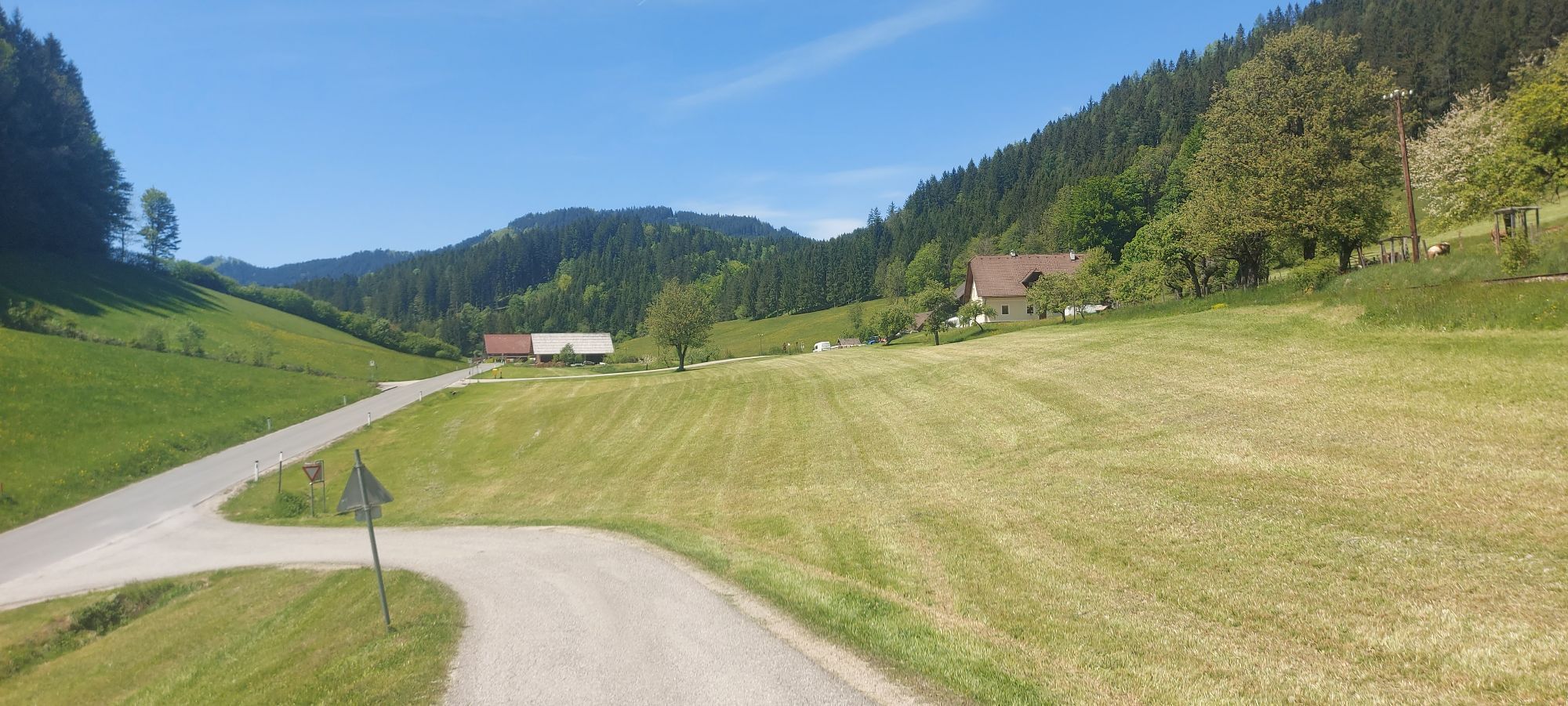

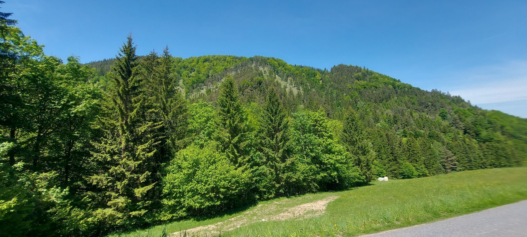
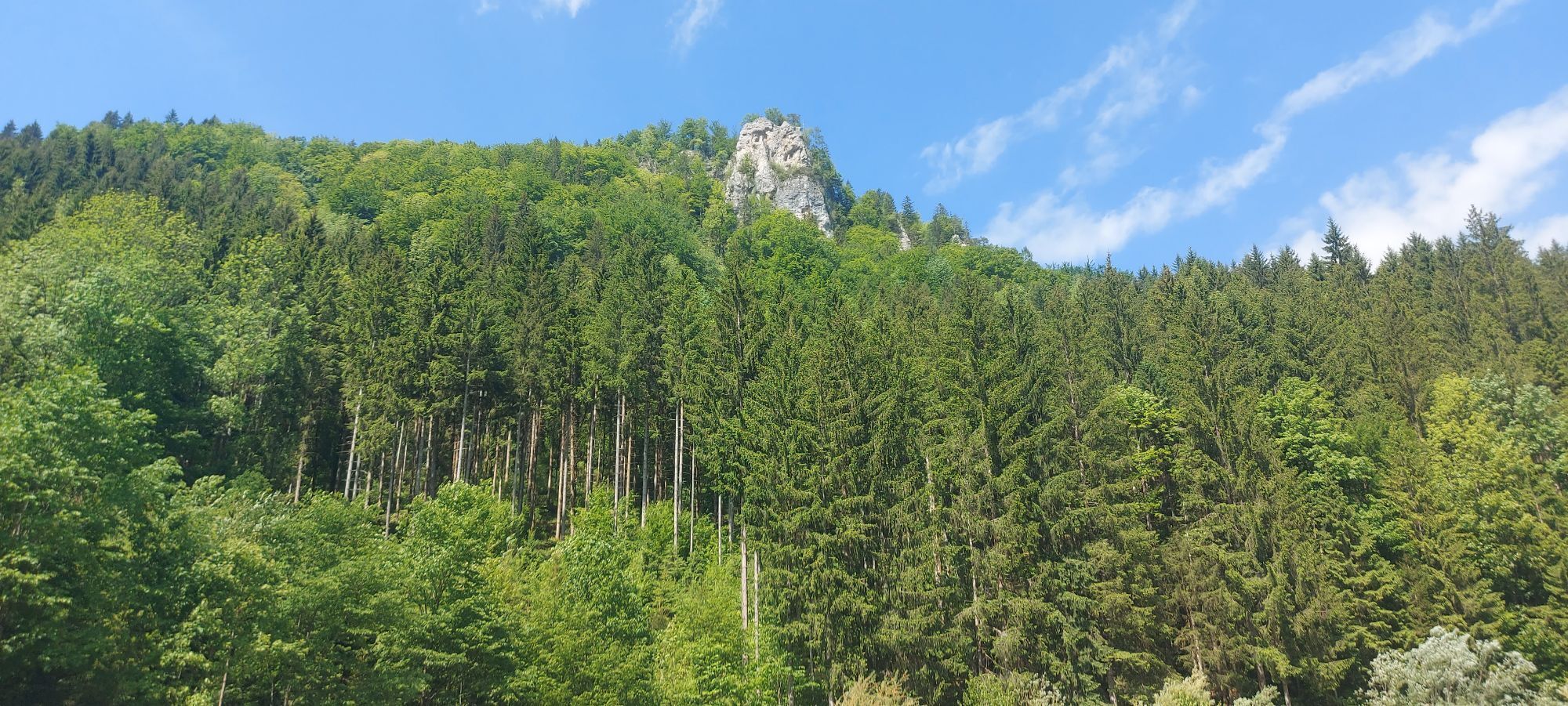
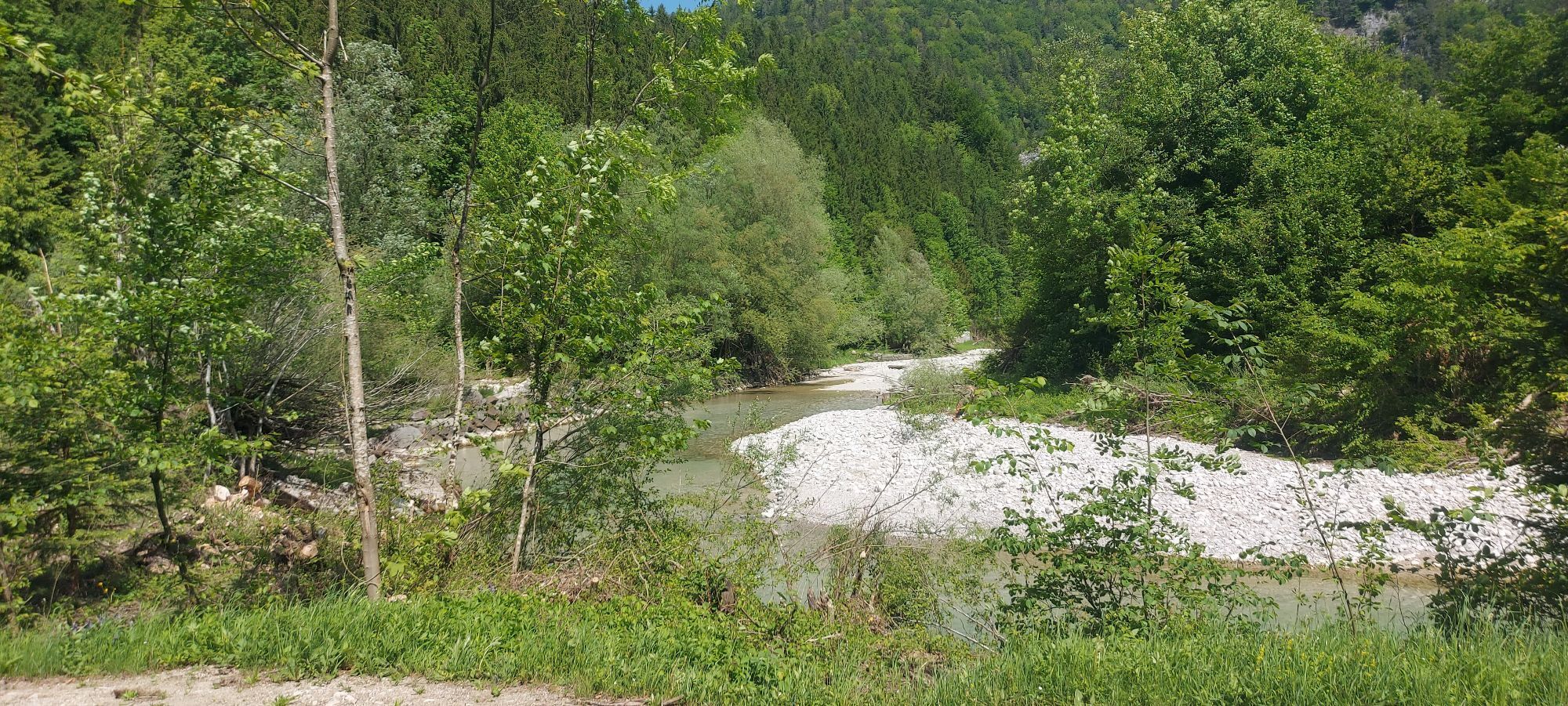
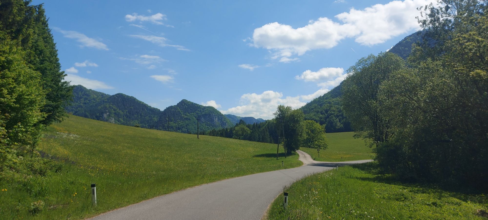
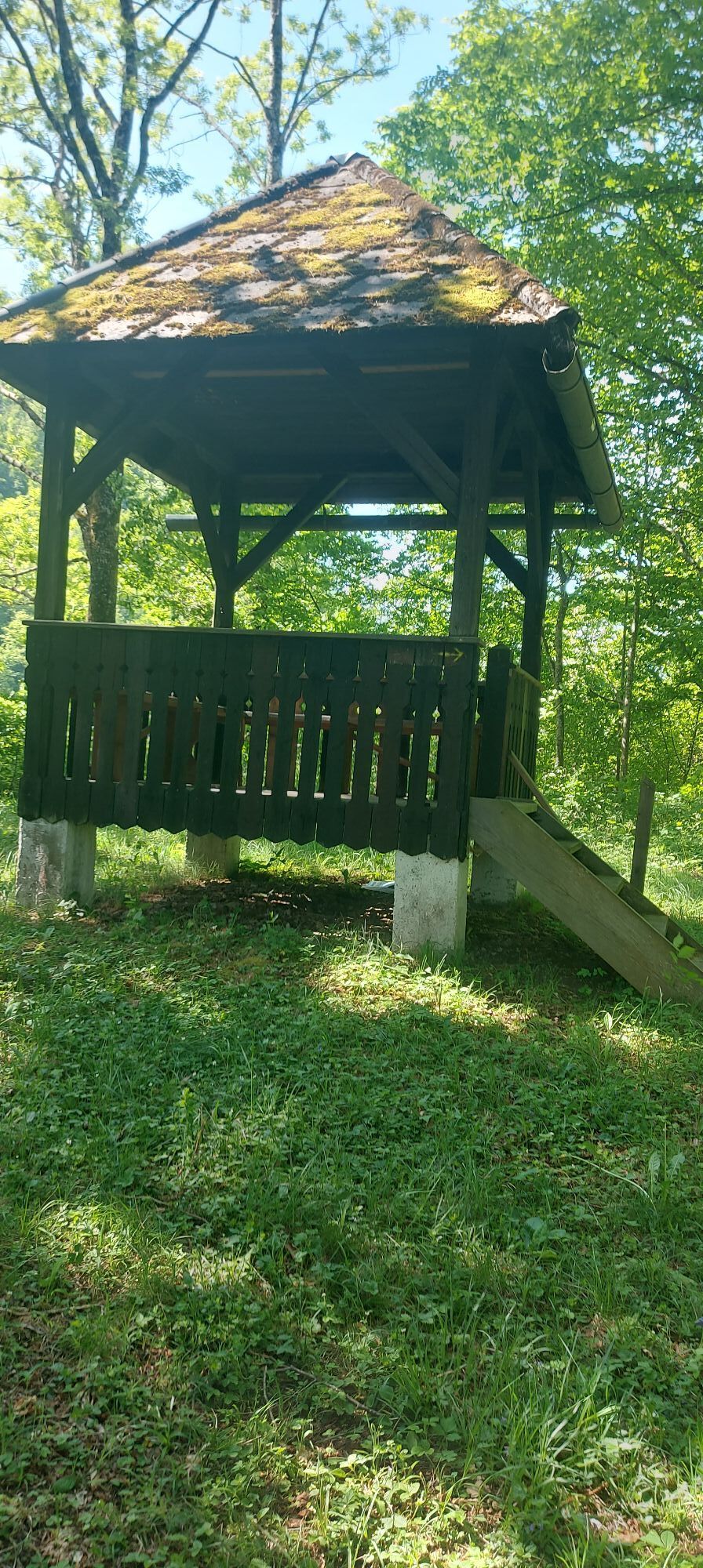

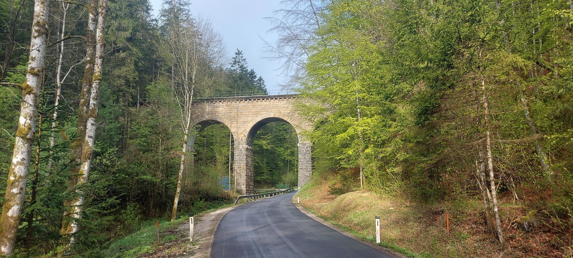
One highlight follows the next! The route first leads from Lackenhof slightly uphill on asphalt to Raneck and then turns off into the forest (forest road) and leads downhill for a few kilometers with a...
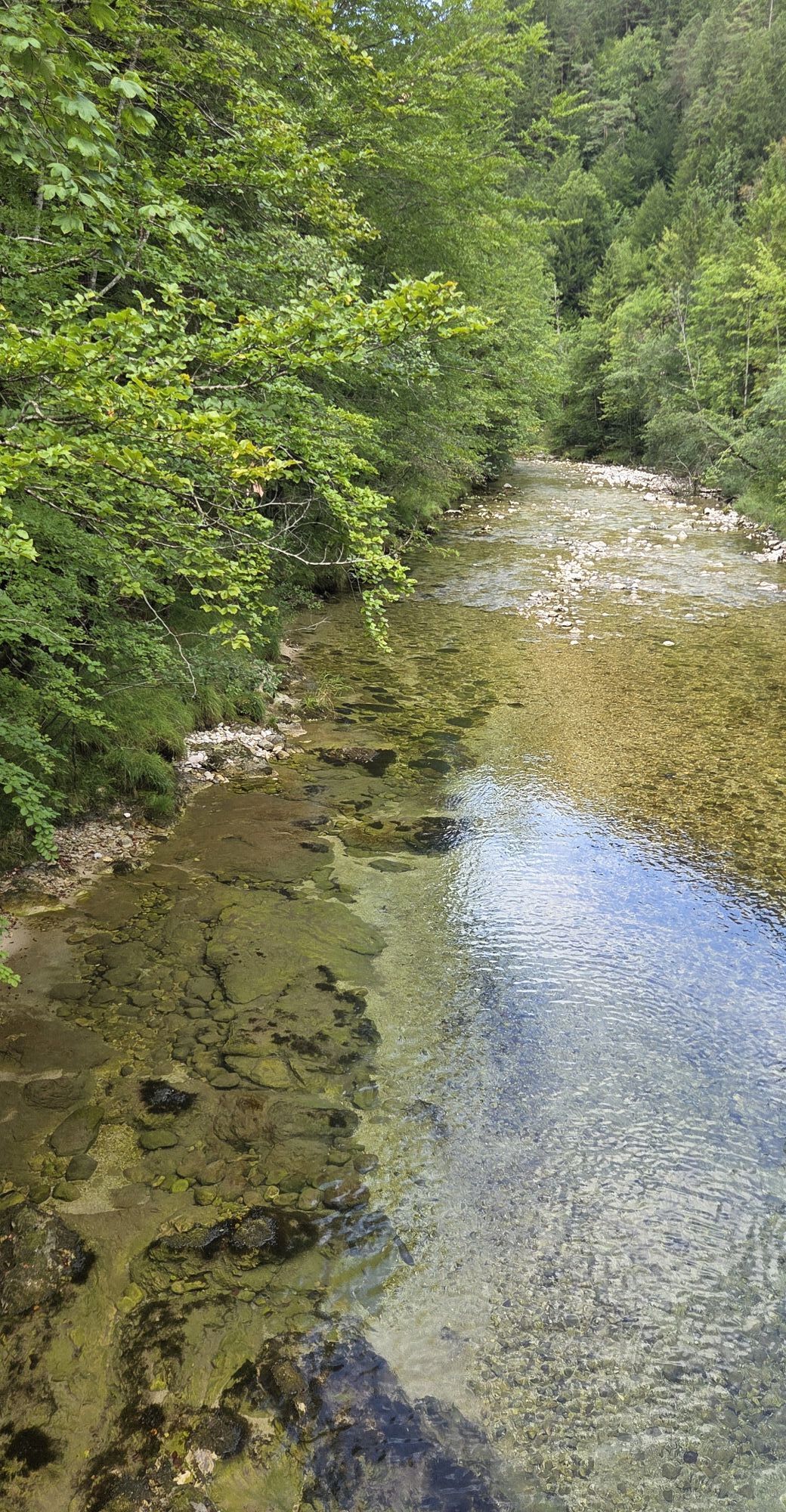
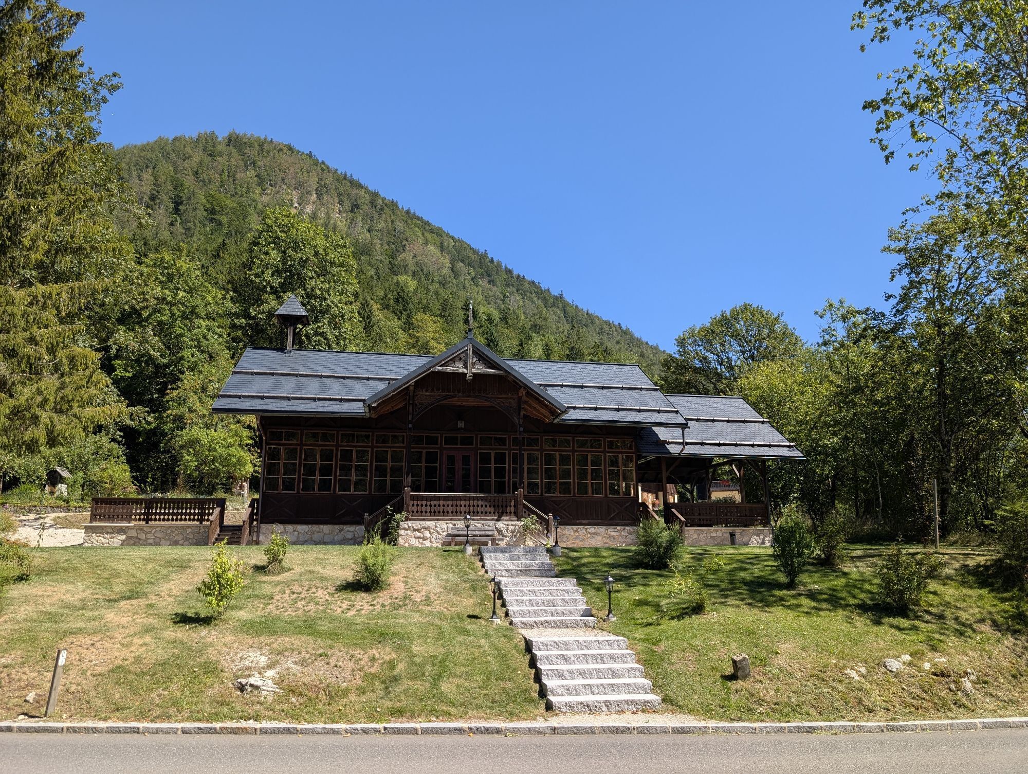
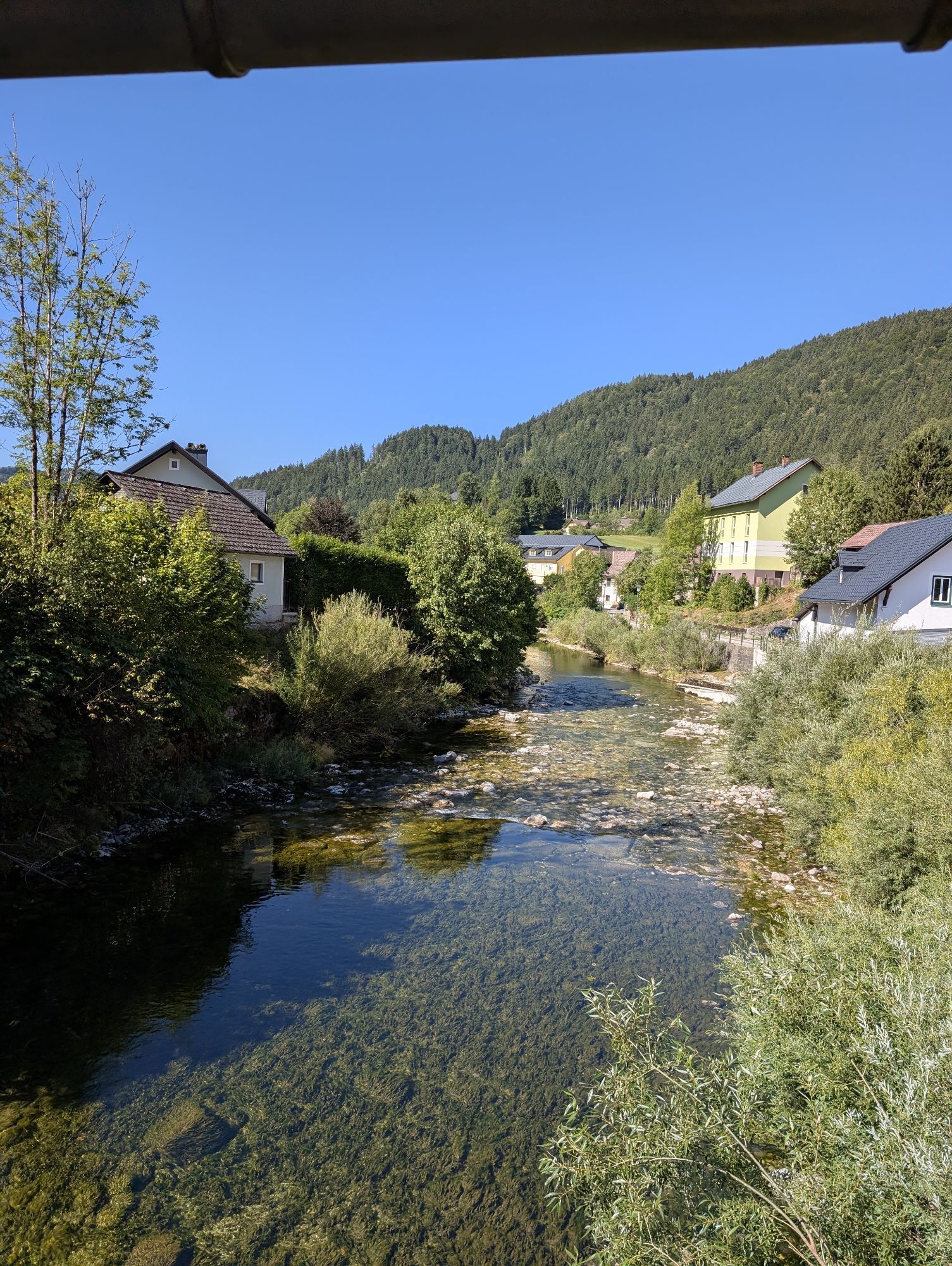
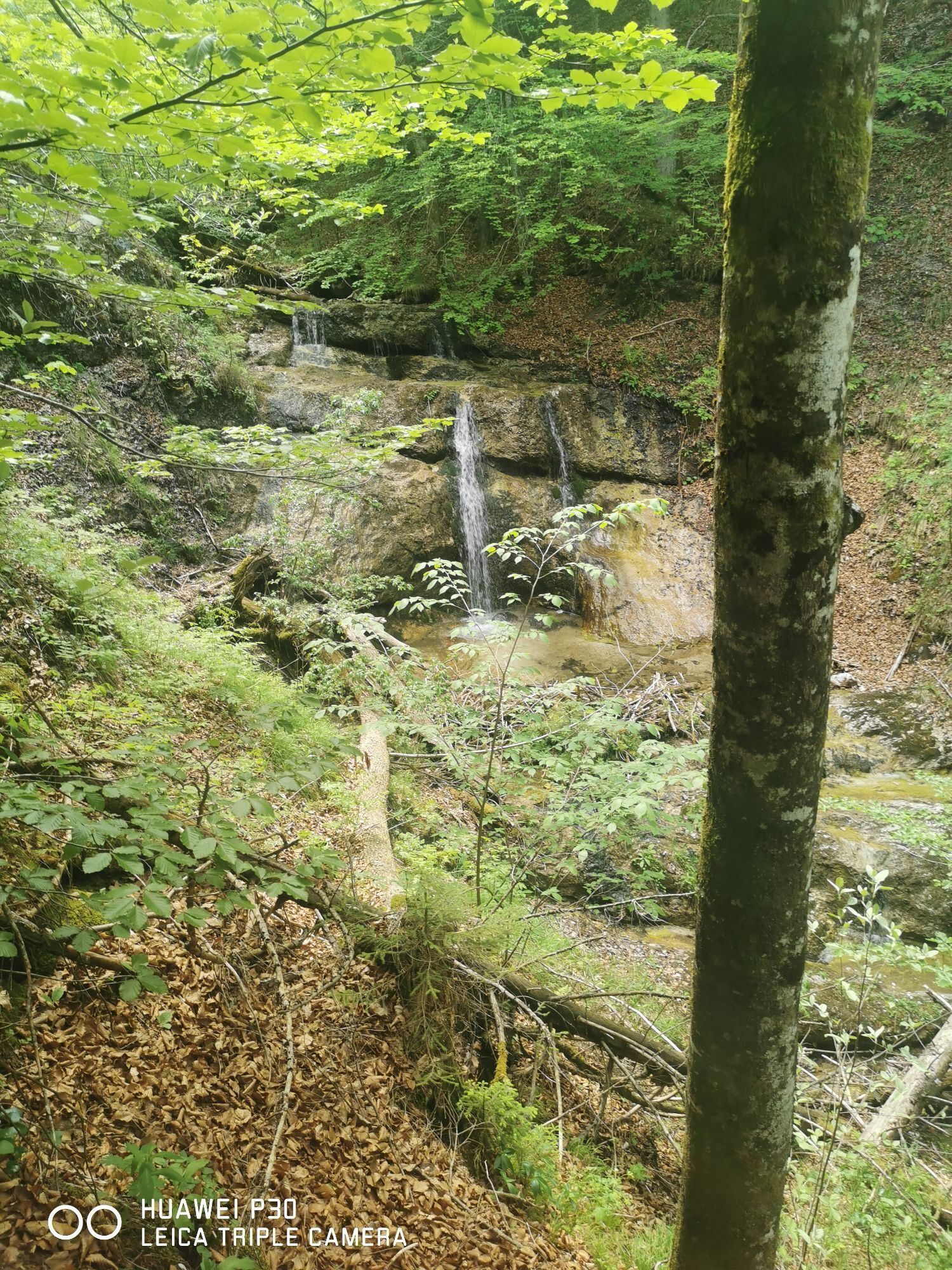
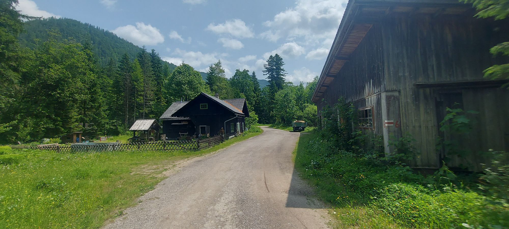
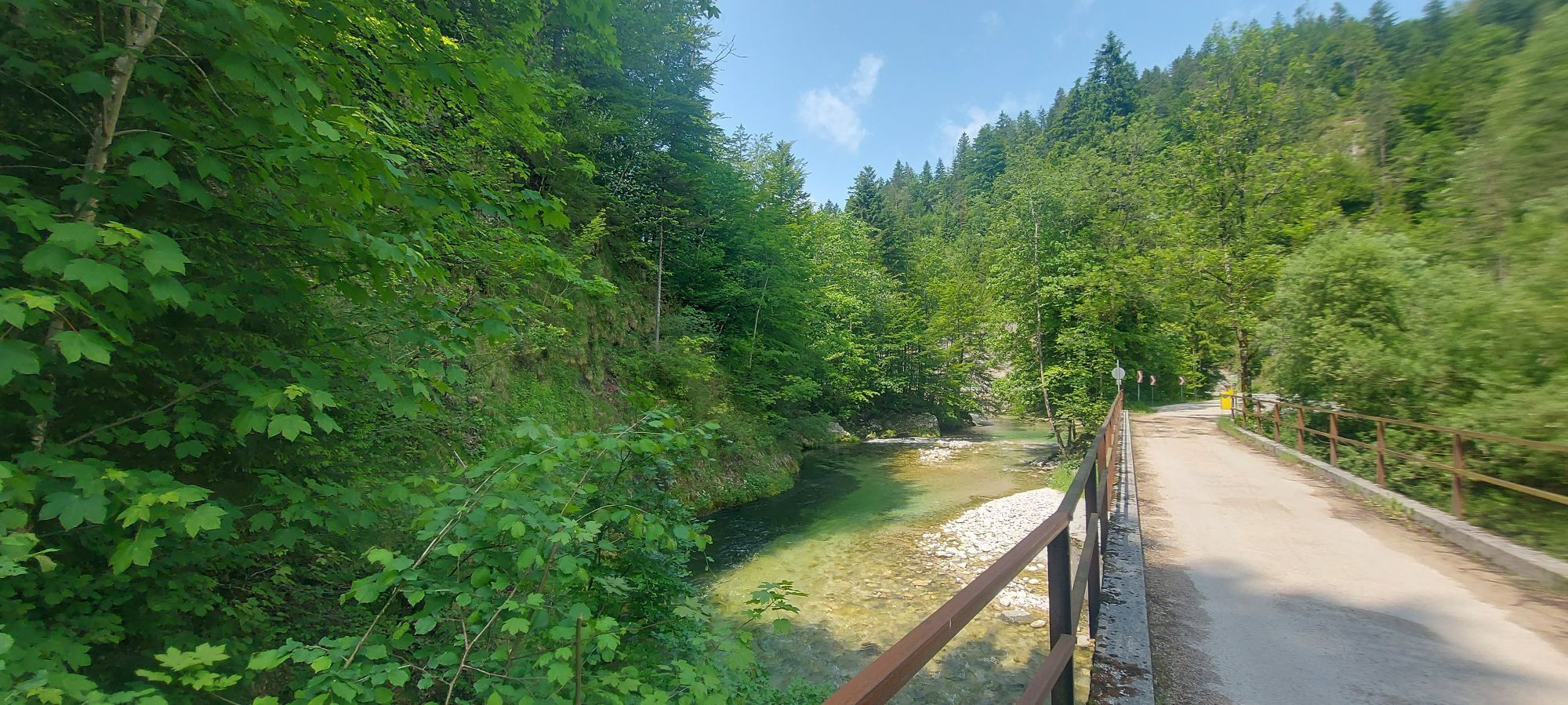
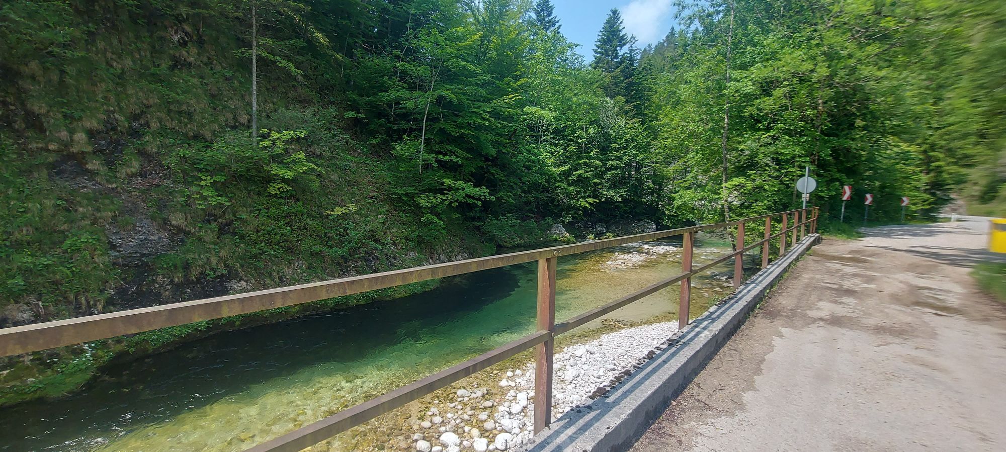
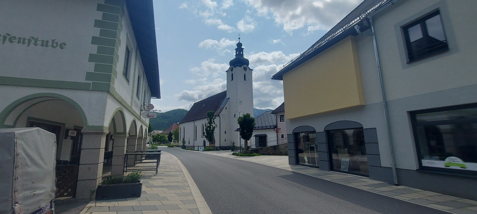
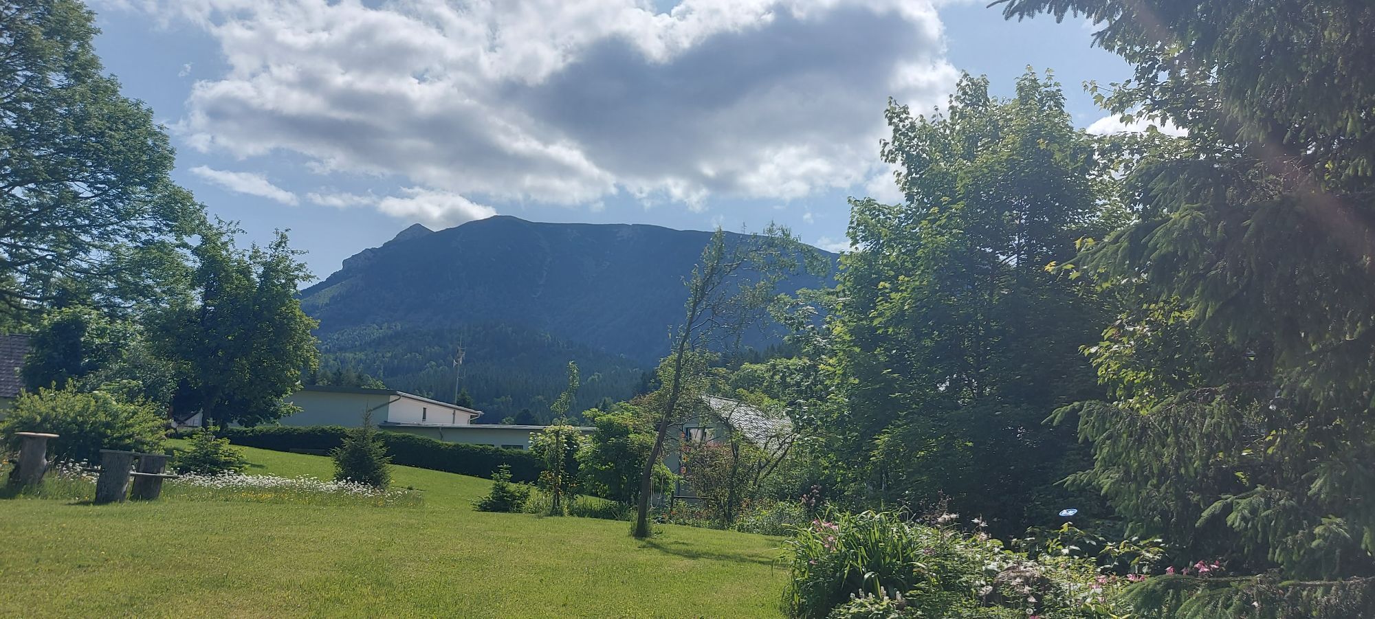
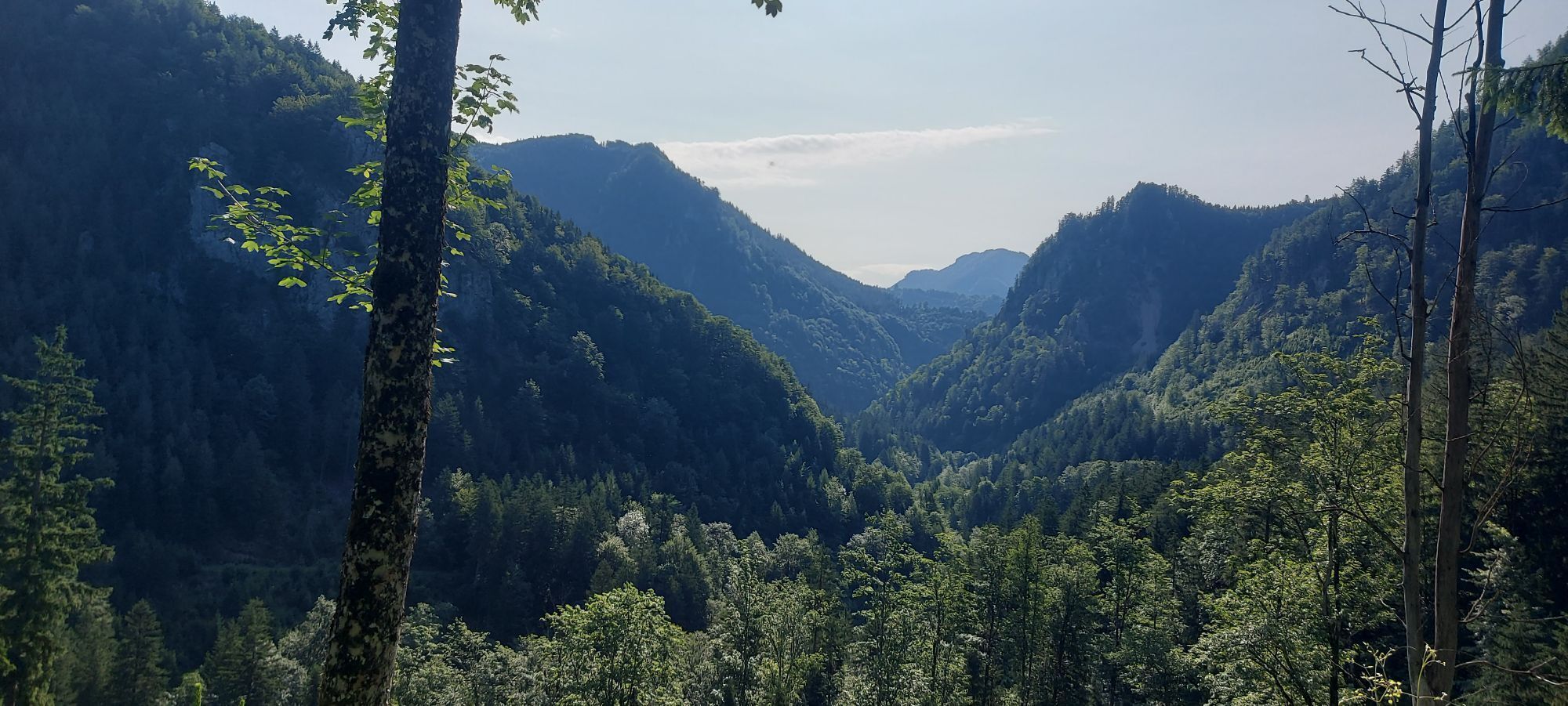
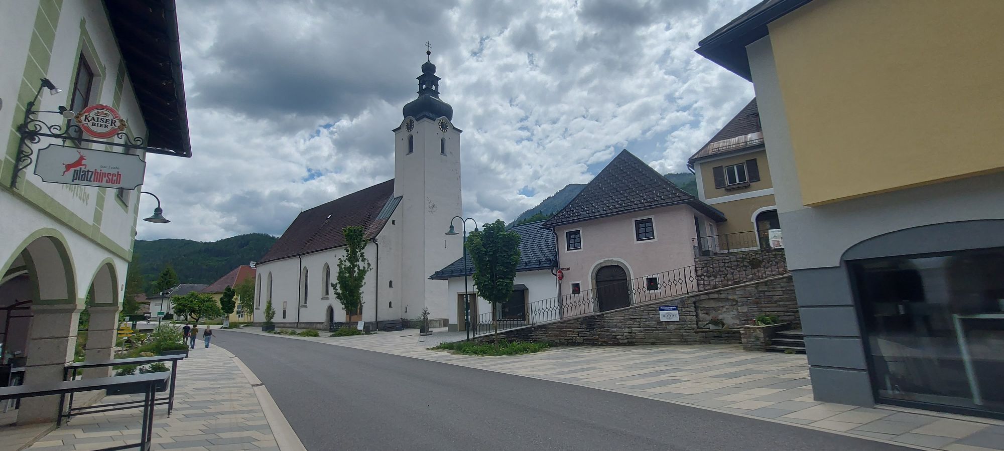
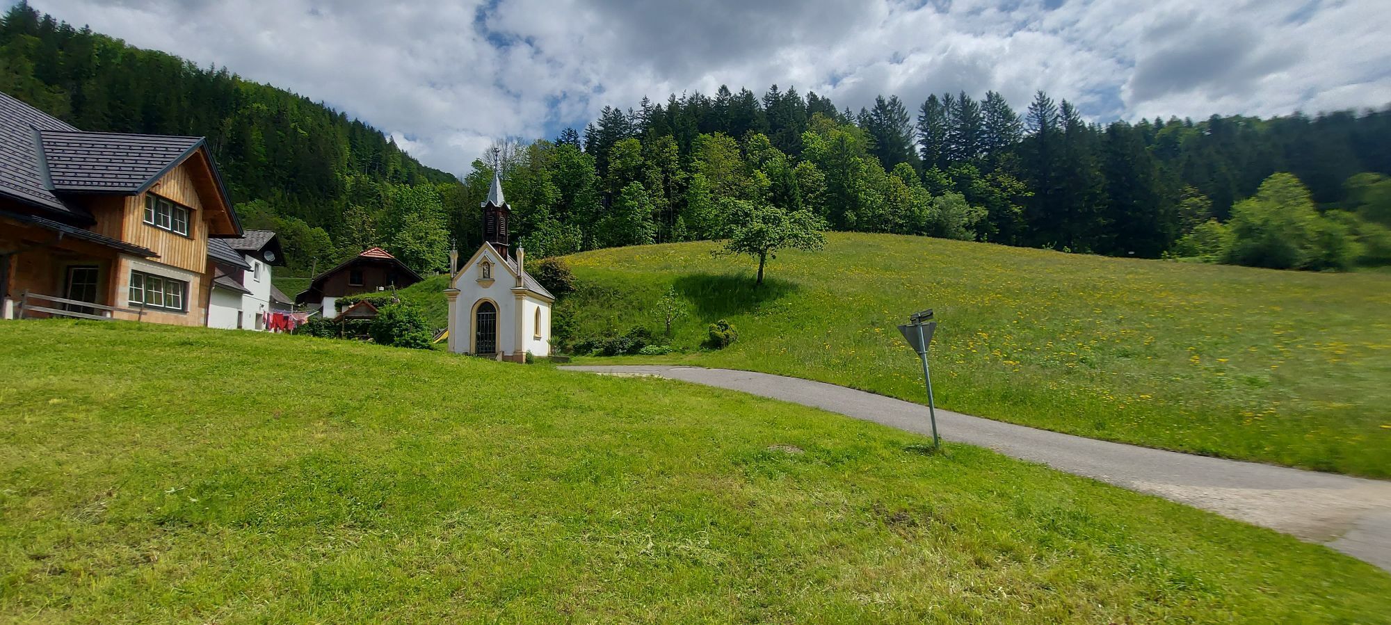
One highlight follows the next! The route first leads from Lackenhof slightly uphill on asphalt to Raneck and then turns off into the forest (forest road) and leads downhill for a few kilometers with a few hairpin bends and all easy to ride curves. Pure idyll and nature! Once at the bottom, the route continues on asphalt in the Tormäuertal valley to the eponymous Schindlhütte (currently closed!)! After a few kilometers along the rushing stream, a 2km long ascent on asphalt follows over to Gaming and the famous Charterhouse. Via Pfaffenschlag and along the nostalgic railroad of the "Ötscherland Express", the tour continues to Lunz am See, past the new Haus der Wildnis. The last section of the route along the Ois and back to Lackenhof promises pure nature once again and invites tired legs to take a dip. Another 4 km slightly uphill back to the starting point with a magnificent view of the Ötscher summit.

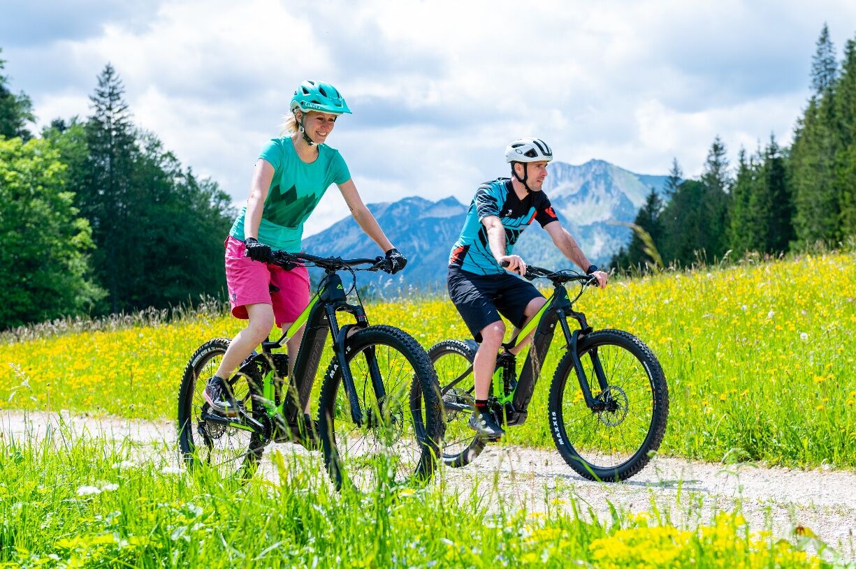
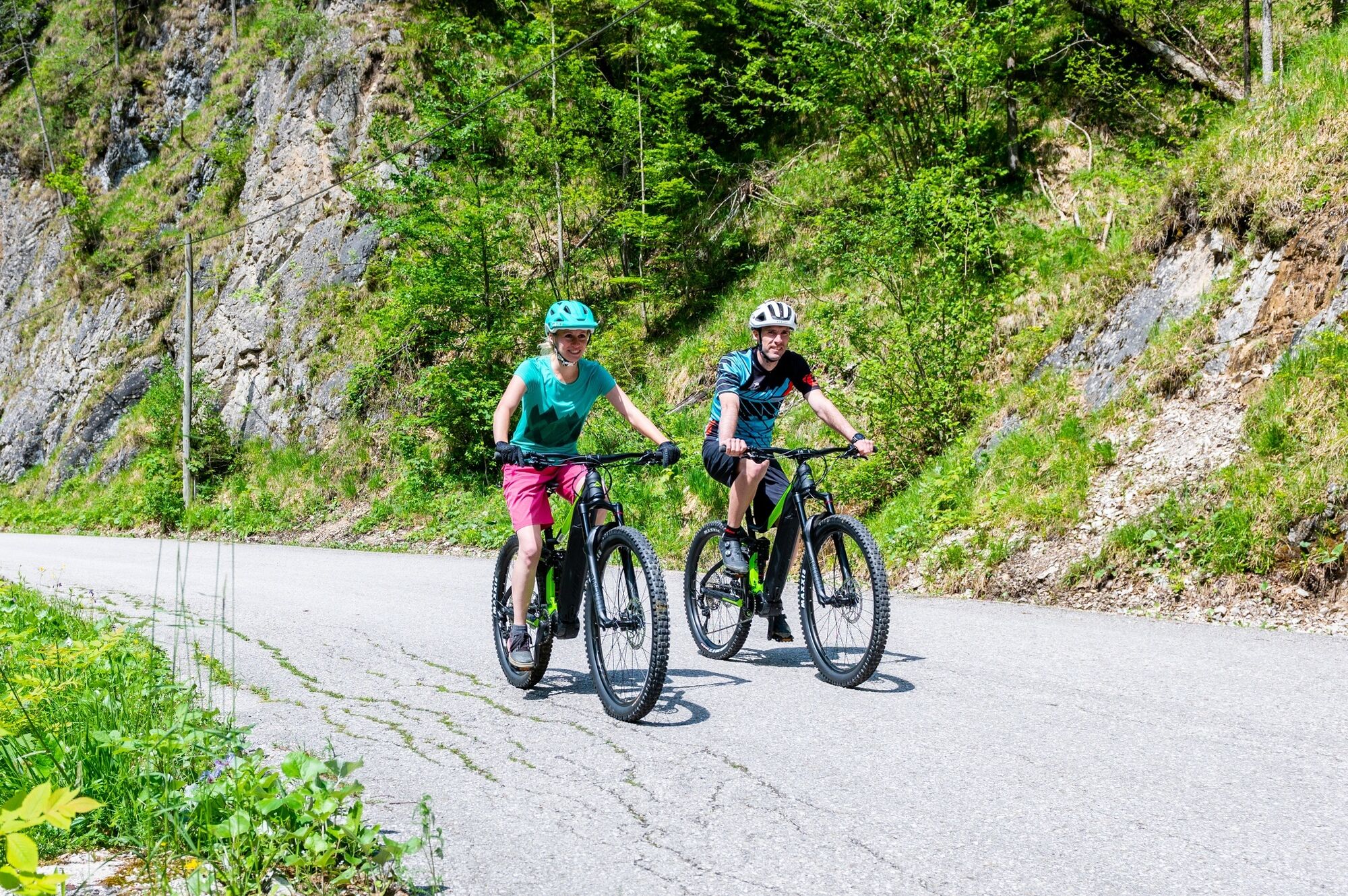

Lackenhof – Raneck – Eibenboden – Schindlhütte – Junction Tormäuerstraße – Bierbrunnen – Town center Gaming (at Matschi, Kaufmann) – Charterhouse – Pfaffenschlag – Lunz am See – Junction Zellerhof/Campsite – Hinterleiten (bridge over Ois) – Langau – Lackenhof
Do not underestimate the significantly heavier weight of e-bikes compared to conventional bicycles when riding downhill.
Via the B31 Erlauftal federal road to Gaming and via Grubberg and Langau to Lackenhof am Ötscher.
Numerous free parking spaces in the local area of Lackenhof
Tourism IG Ybbstaler Alpen
Göstling 46/2
3345 Göstling/Ybbs
05-93049
Allow plenty of time for numerous worthwhile stops: Charterhouse, House of Wilderness, Lunzer See, and much more.

Kamery internetowe z trasy

Aktywności na trasie


Popularne wycieczki w okolicy
-
4,4
Das 3 Seen-Erlebnis (Lunzer See - Mittersee - Obersee)
średniWędrówka 9,33 km -
4,3
Rund um den smaragdgrünen Lunzer See
światłoWędrówka 4,80 km -
5,0
Von Lackenhof auf den Ötscher
światłoWędrówka 5,29 km -
4,9
Lechnergraben-Grünloch-Ybbstalerhütte
światłoWędrówka 9,72 km -
4,9
Lackenhof ÖTSCHER Rauer Kamm 19.10.2014
ciężkiWędrówka 14,1 km -
4,7
Trefflingfall über Hochbärneckhütte
średniWędrówka 12,2 km -
4,7
Dürrenstein über die Herrnalm
średniWędrówka 9,52 km -
5,0
Prochenbergrunde
średniWędrówka 5,96 km -
4,5
Lechner Graben - Ybbstaler Hütte
średniWędrówka 14,2 km -
4,5
Gföhler Alm - Rainstock - Schleierfall
średniWędrówka 13,6 km
Wędrówki i tropienie


Nie przegap ofert i inspiracji na następne wakacje
Twój adres e-mail została dodana do listy mailingowej.





