


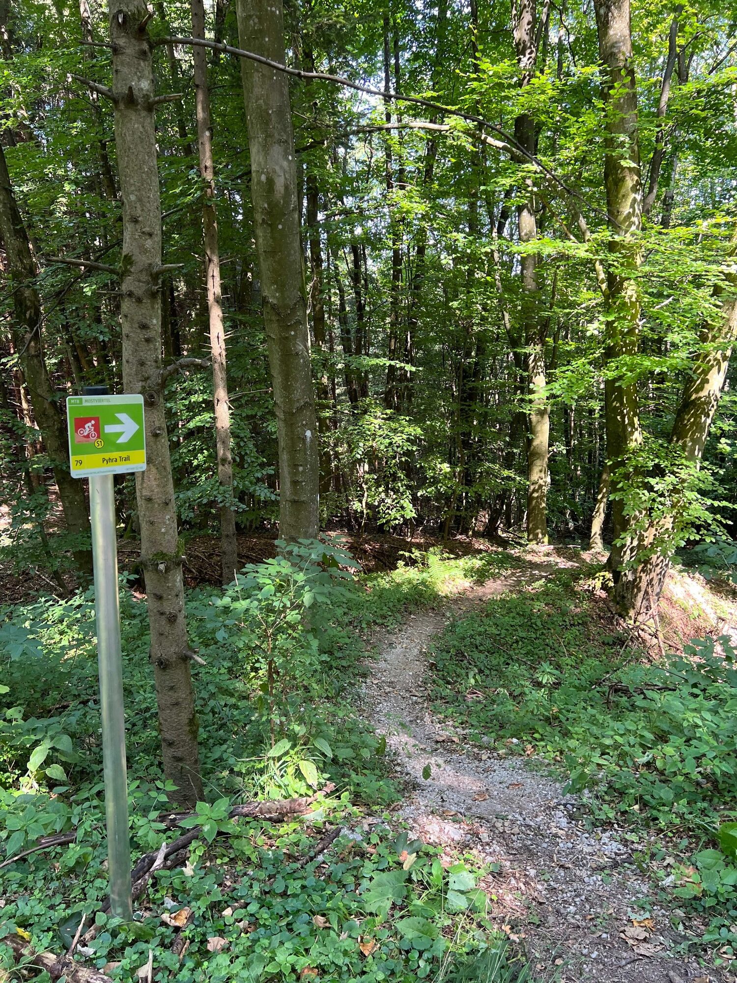
Pyhra Trail
Poziom trudności: S1
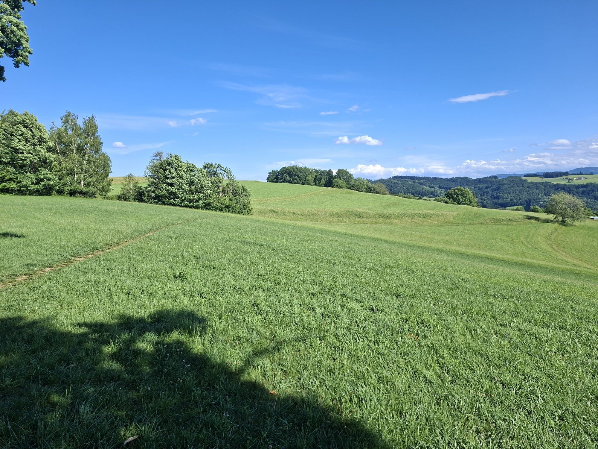
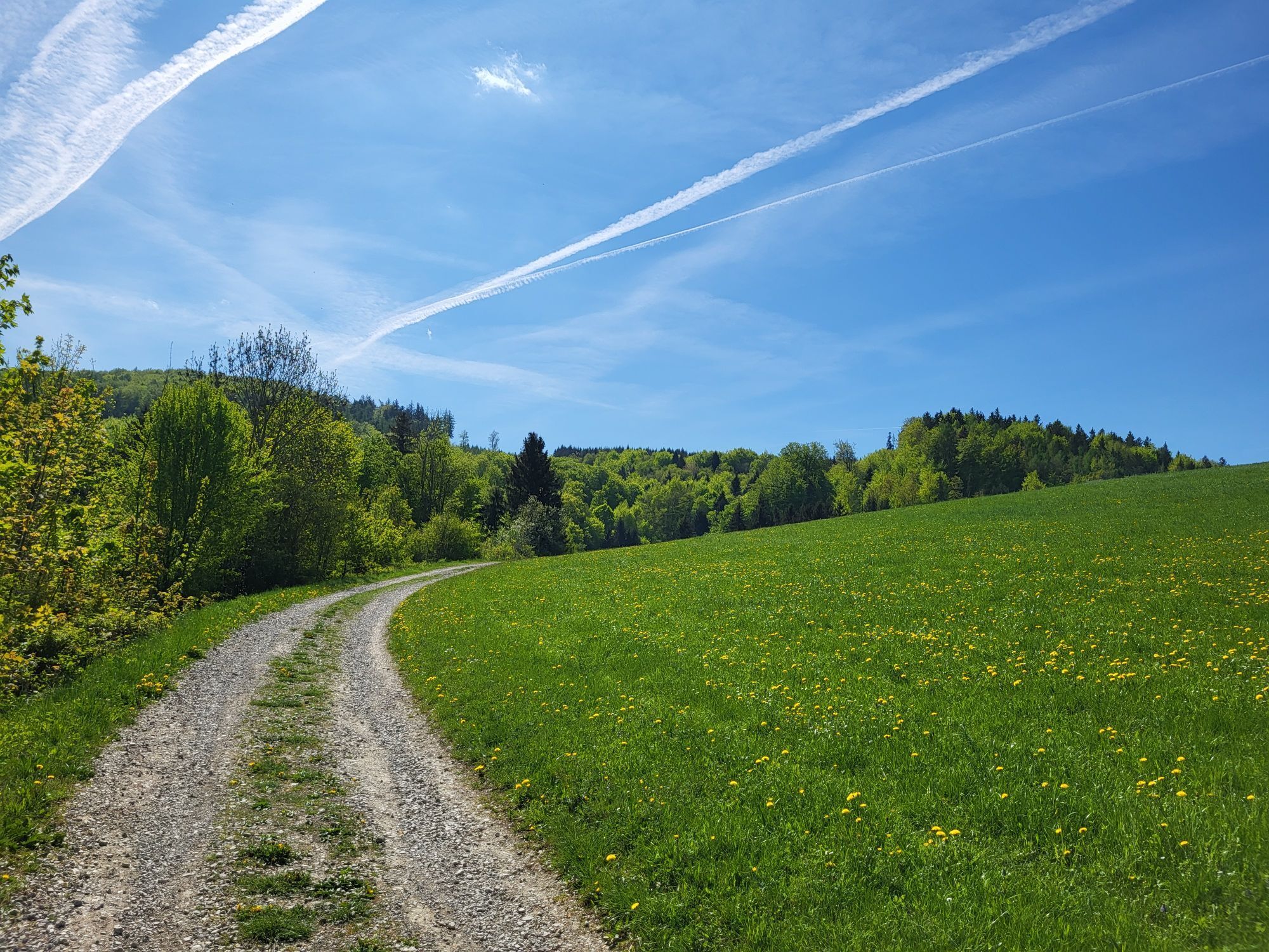
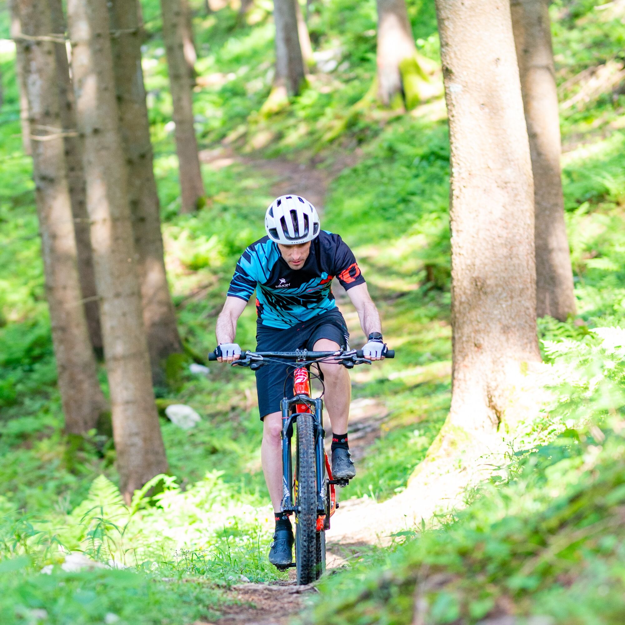
The moderately difficult S1 singletrail leads varied from the Draxelhofer Anhöhe down 250 vertical meters to the aqueduct near Schauching. The ground is mostly earthy forest soil with some roots and stones....
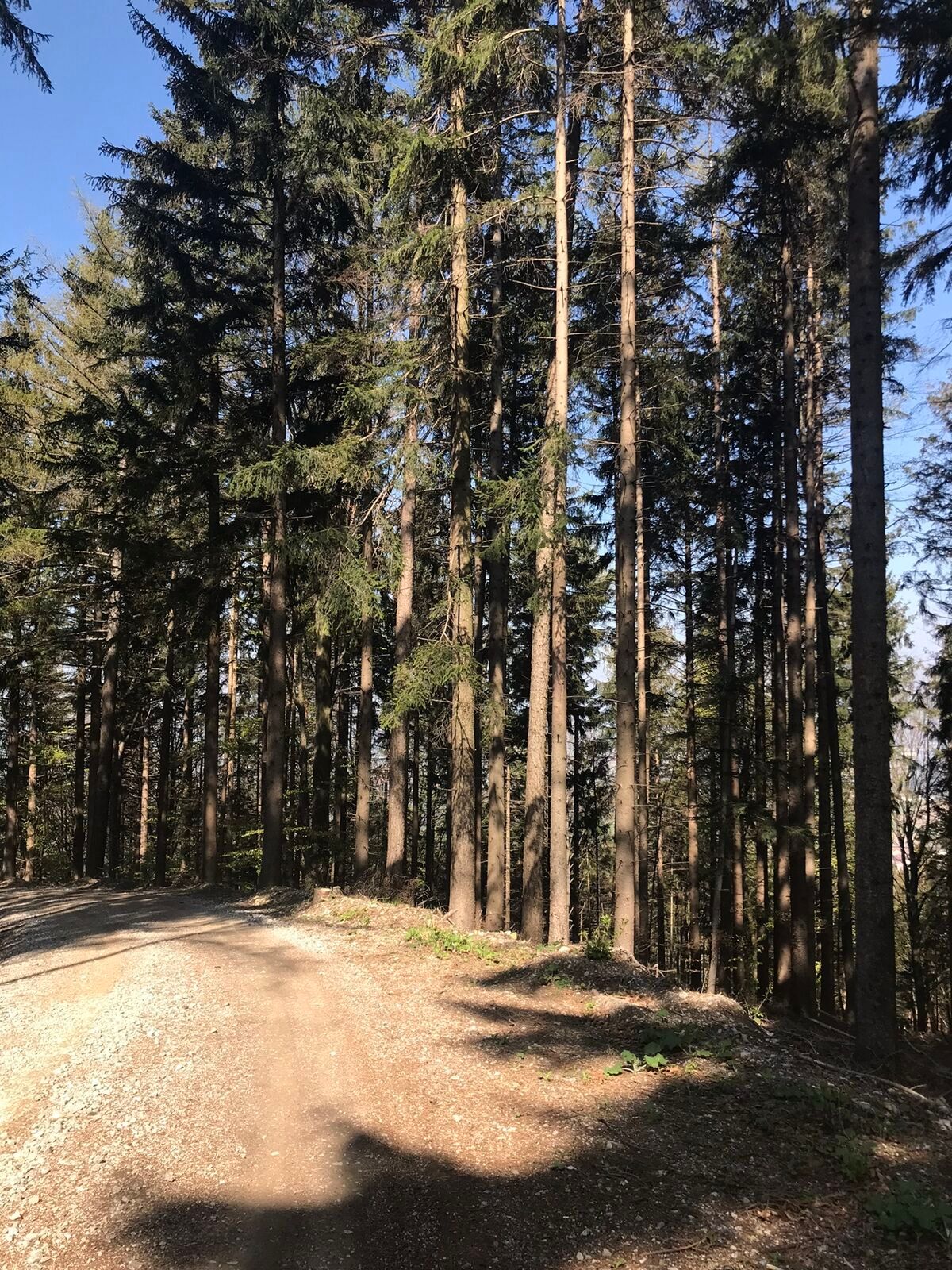
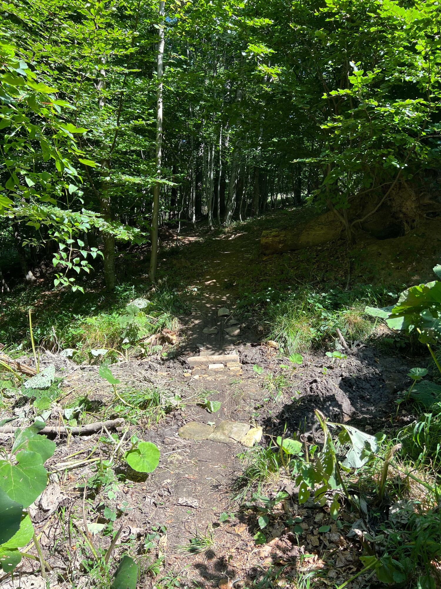
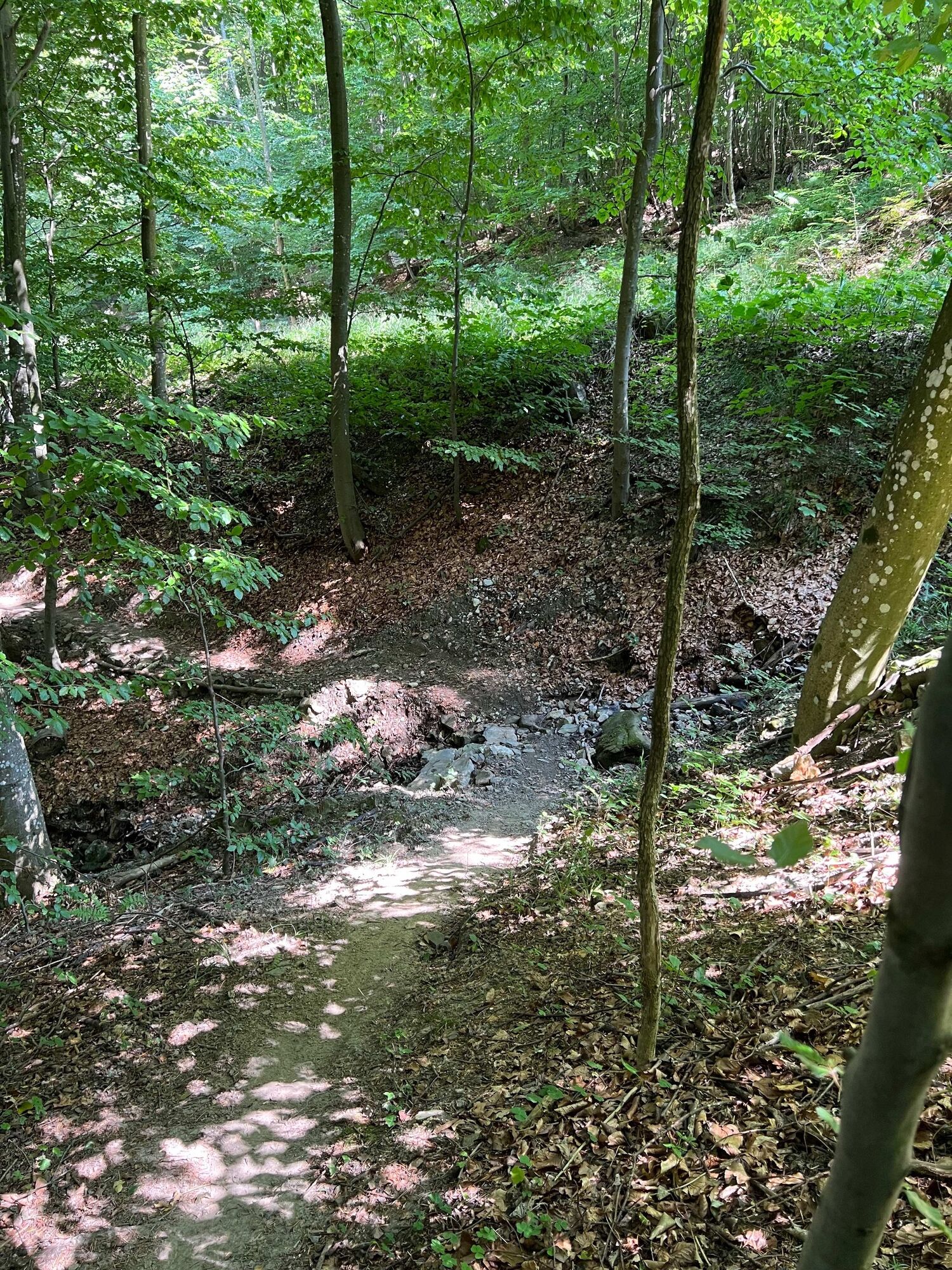
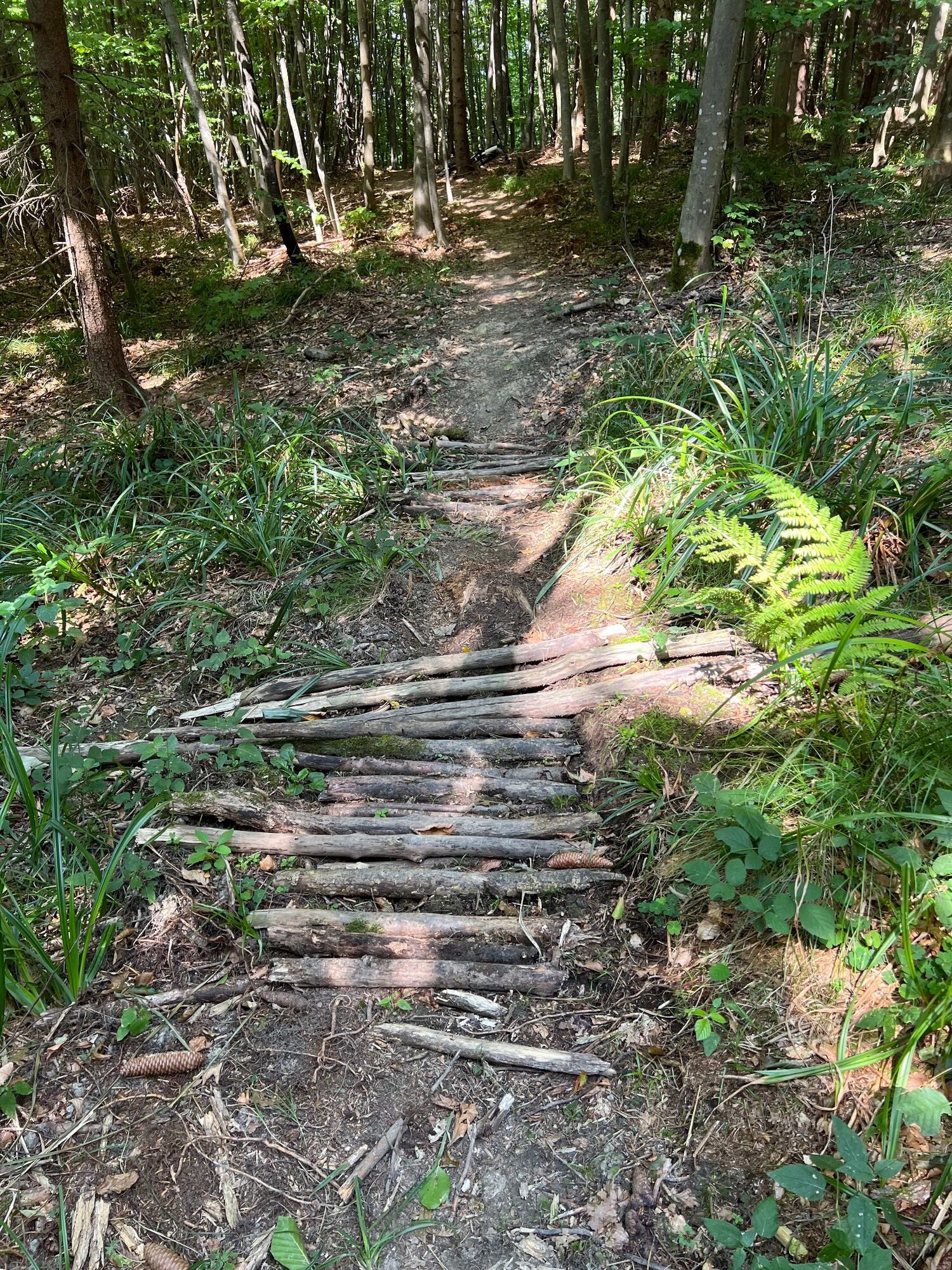
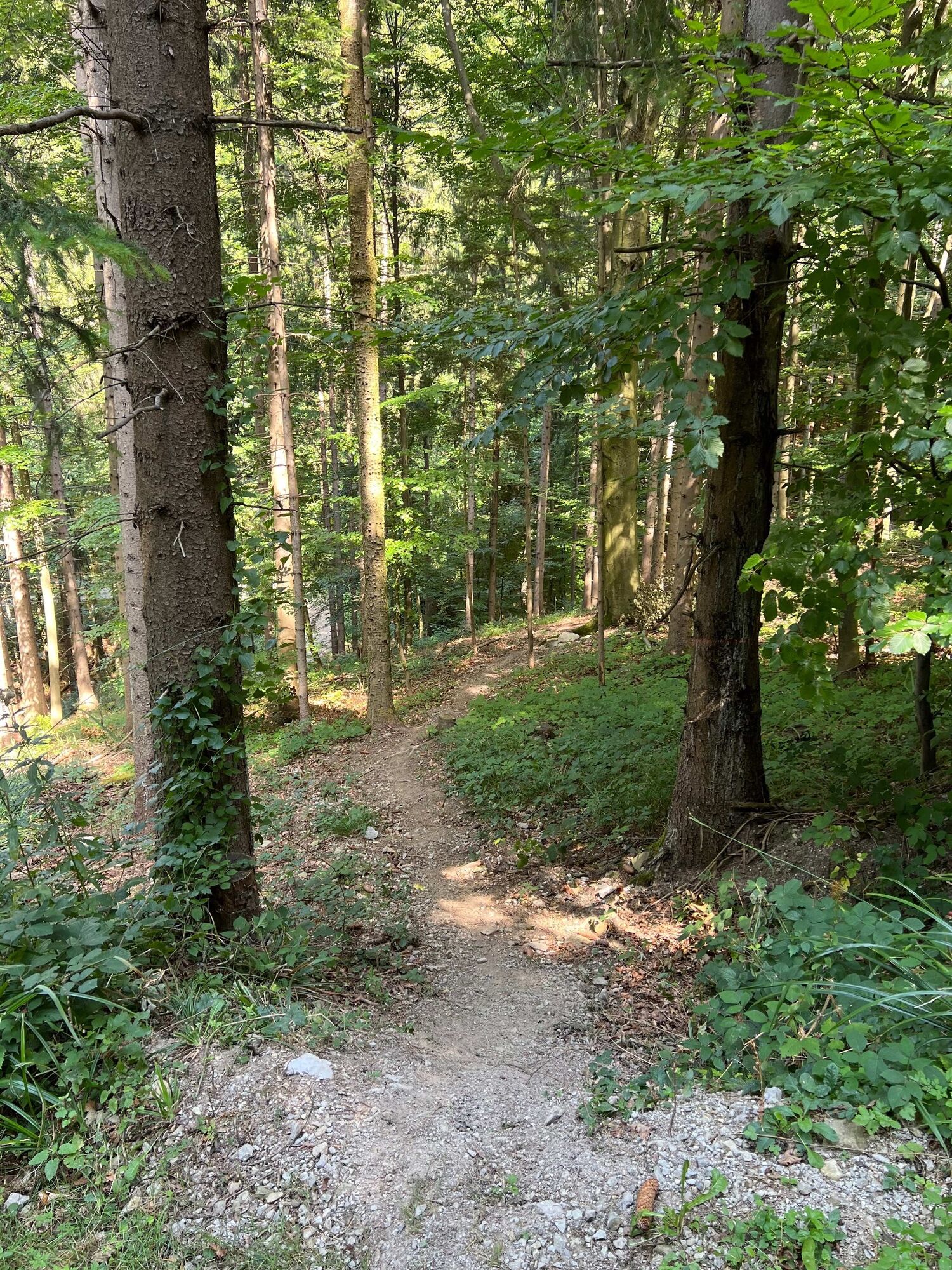
The moderately difficult S1 singletrail leads varied from the Draxelhofer Anhöhe down 250 vertical meters to the aqueduct near Schauching. The ground is mostly earthy forest soil with some roots and stones. When wet, the trail is somewhat more difficult to ride. There are a few tighter turns and steeper sections.

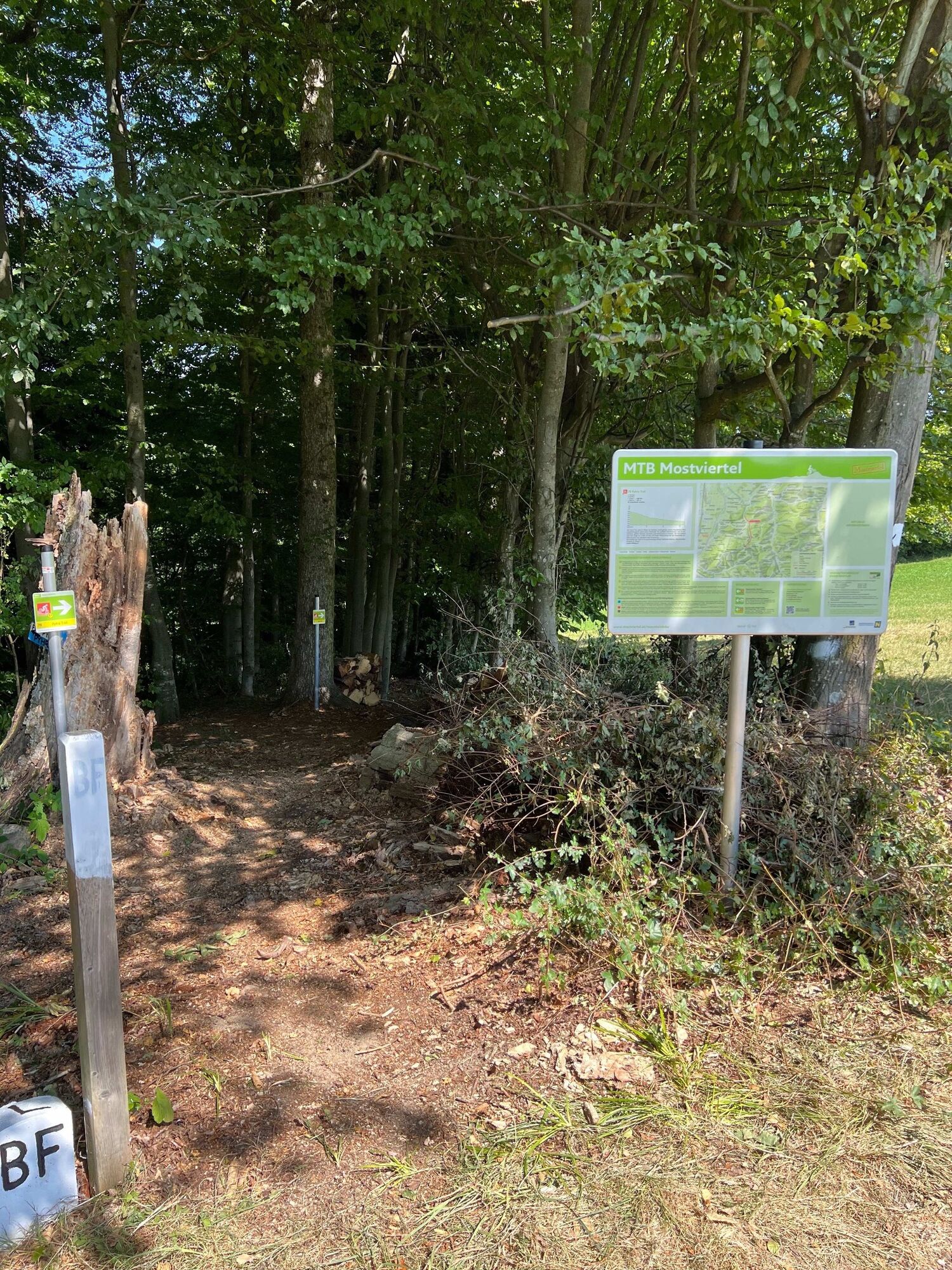
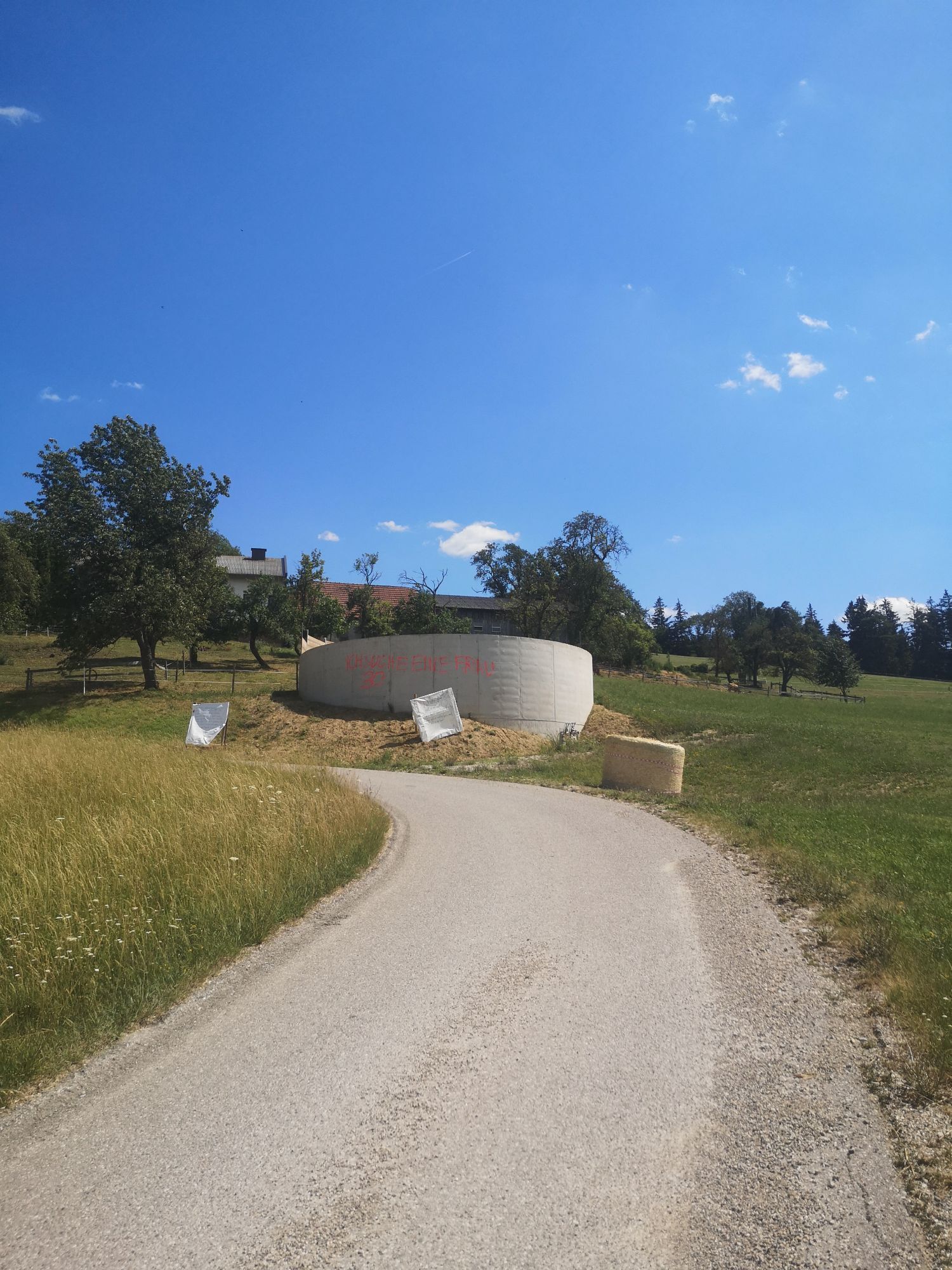
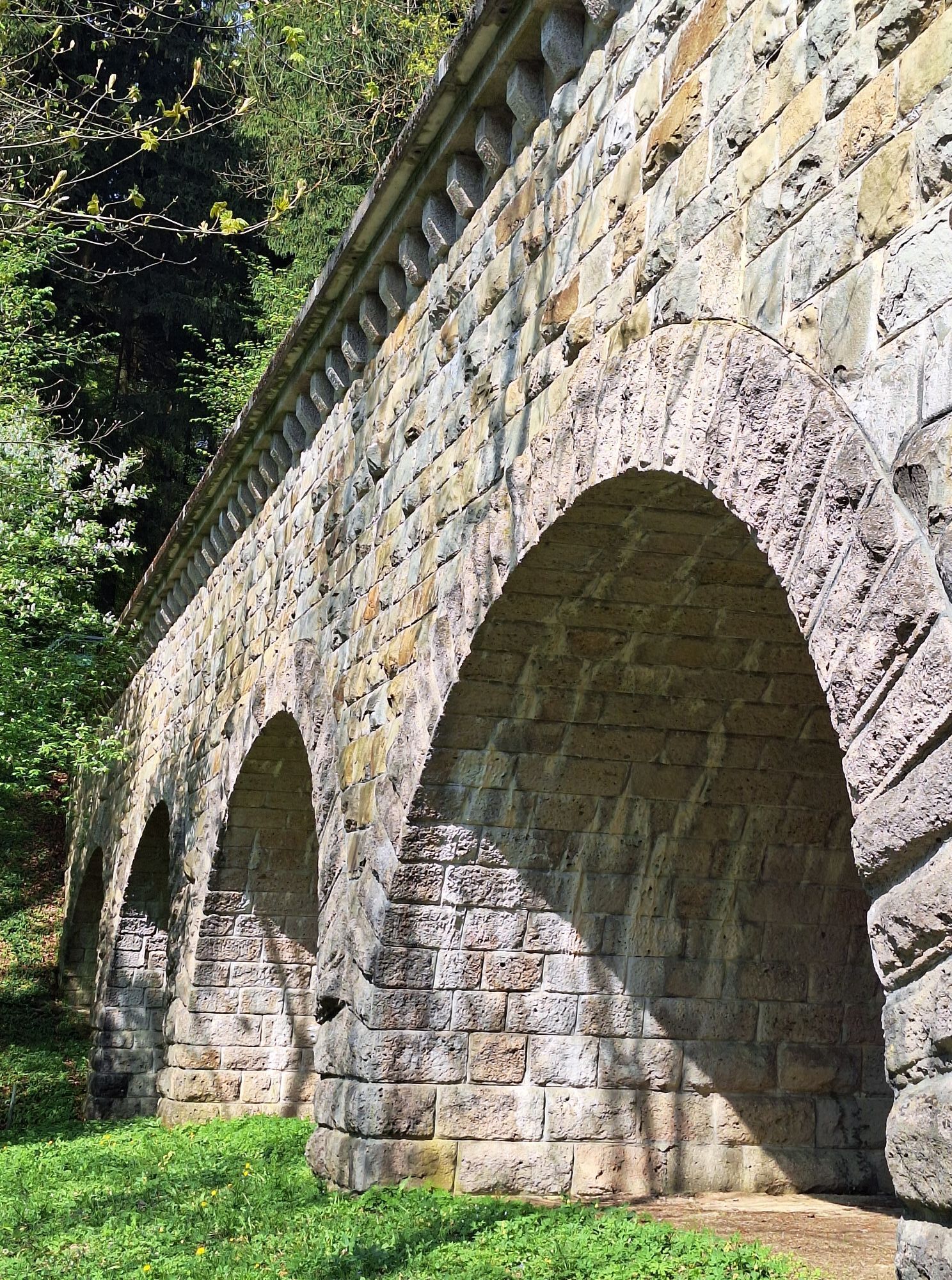
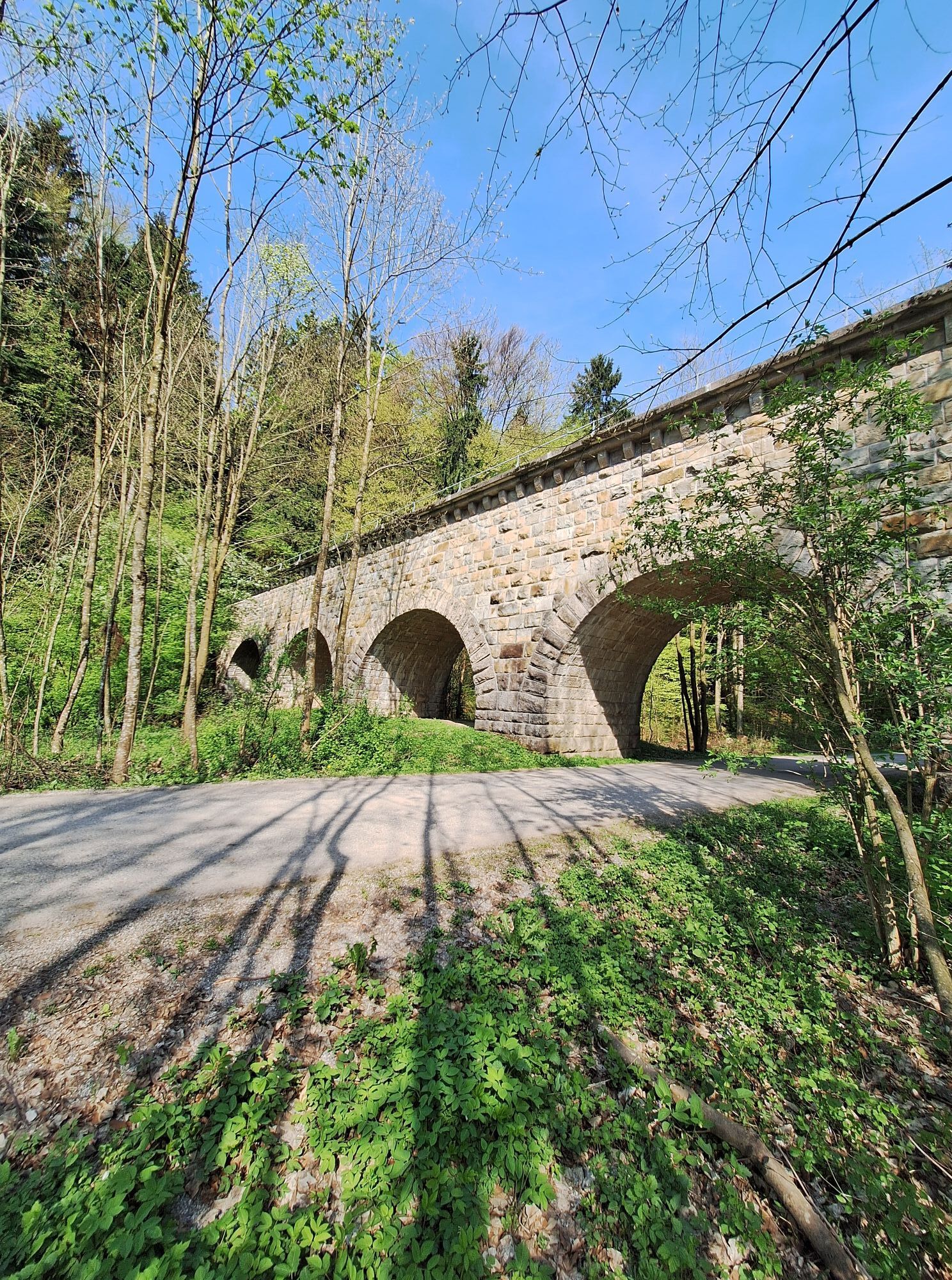
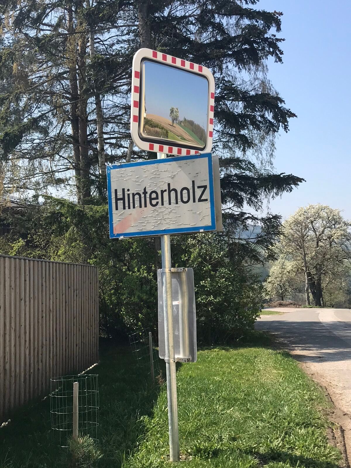
From the parking lot at the aqueduct near Schauching, we follow the road towards Hinterholz. In Hinterholz, we turn left onto the Raffelsberg farm road. We continue on this until the asphalt turns into a forest road.
Then we continue on the forest road until a short, technically more demanding, rooty section where the uphill trail runs on the left side (see signage), until we reach the Draxelhofer Anhöhe.
The singletrail downhill starts directly next to the uphill and leads through the forest. We cross the forest road several times (please watch out for other vehicles), at times also follow the forest road, and after the last section of the trail, continue back on the forest road to the parking lot.
Helmet mandatory, additional protectors are recommended.
Before every ride, check the functionality of brakes, tires, and suspension fork/damper.
The uphill leads only via the road or forest road via Hinterholz, not on the forest road on which you return to the parking lot between/after the trail sections.
Attention, when wet, the difficulty of the trail increases due to the partly root- and stone-covered ground.
Singletrails commonly have more stones, roots, steep sections, steps, and sharp turns that require specific riding skills. If in doubt, simply dismount and push the bike. Singletrail experience recommended. Always ride with hazard awareness and controlled speed and adjust route choice to the skill level of the group and the ground conditions. Fair play rules must always be observed.
From St. Pölten, take the direction from Schauching towards Hinterholz until the aqueduct.
https://www.google.com/maps/dir//48.136037,15.661191/@48.1369398,15.6613805,491m/data=!3m1!1e3!4m4!4m3!1m1!4e2!1m0?entry=ttu
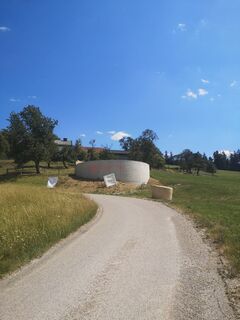
At the aqueduct near Schauching, there are some parking spaces: ///cremig.bauen.eindrucksvoll
S1
Mountainbike Initiative St. Pölten (MTB.STP),
Contact persons: Stephanie Jagl-Posch, Sebastian MIHALY
Mostviertel Tourism GmbH
Töpperschloss Neubruck
Neubruck 2/10, 3270 Scheibbs
T +43 7482 204 44
E info@mostviertel.at
For a refreshment before or after the mountain bike ride, it is recommended to follow the route of the Sagenstein Tour for a detour to the Ochsenburger hut.

Popularne wycieczki w okolicy
-
4,4
Kaiserkogel mit Start und Ziel in Eschenau
światłoWędrówka 10,2 km -
4,5
Rundweg Ochsenburgerhütte
światłoWędrówka 7,60 km -
4,2
Hainfelder Hütte: Schöner Rundkurs abseits der Massen
światłoWędrówka 10,1 km -
4,7
Kaiserkogel
światłoWędrówka 6,03 km -
4,4
Hegerberg
światłoWędrówka 8,06 km -
4,3
Lorenzipechkogel - Schneerosenwarte
średniWędrówka 10,2 km -
4,7
Rudolfshöhe drei Galgenweg Wilhelmsburg, Österreich
światłoWędrówka 8,04 km -
3,8
Hainfelder Hütte - Angelos Touren
światłoWędrówka 7,11 km -
4,4
3-Hütten-Wanderung
światłoWędrówka 8,69 km -
4,5
Gföhlberg
światłoWędrówka 6,83 km
Wędrówki i tropienie


Nie przegap ofert i inspiracji na następne wakacje
Twój adres e-mail została dodana do listy mailingowej.