







Running route Reichenau an der Rax
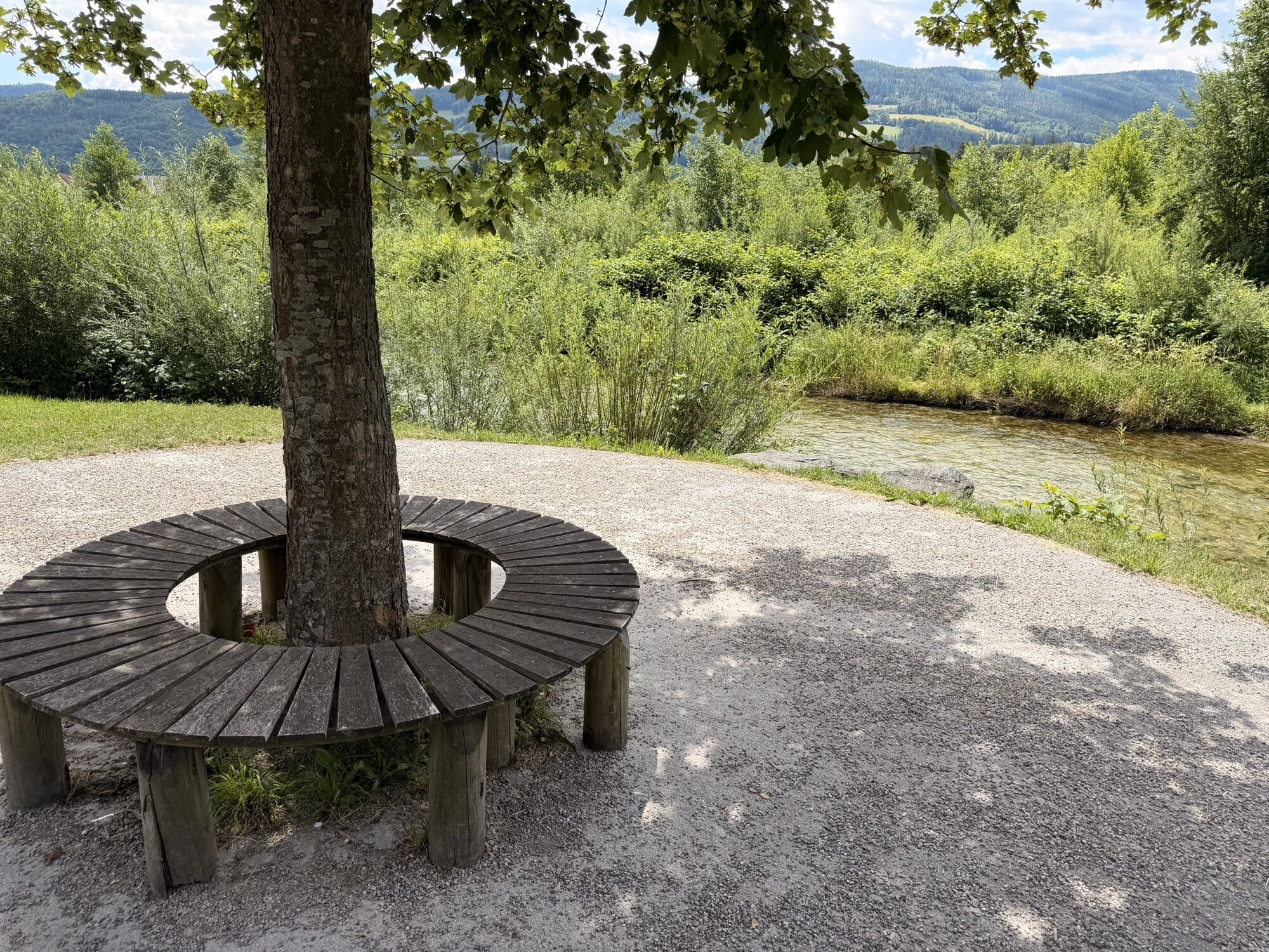
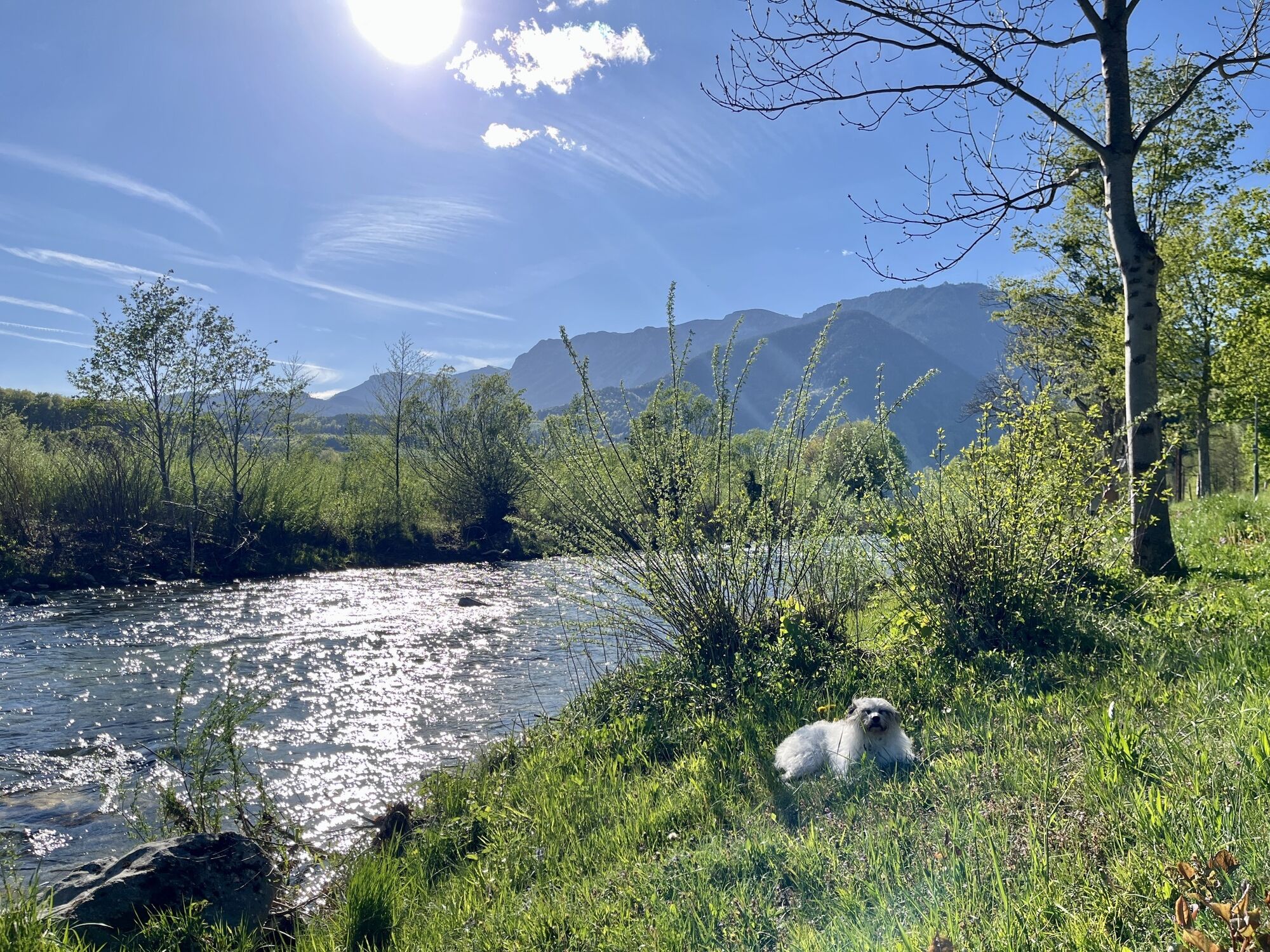
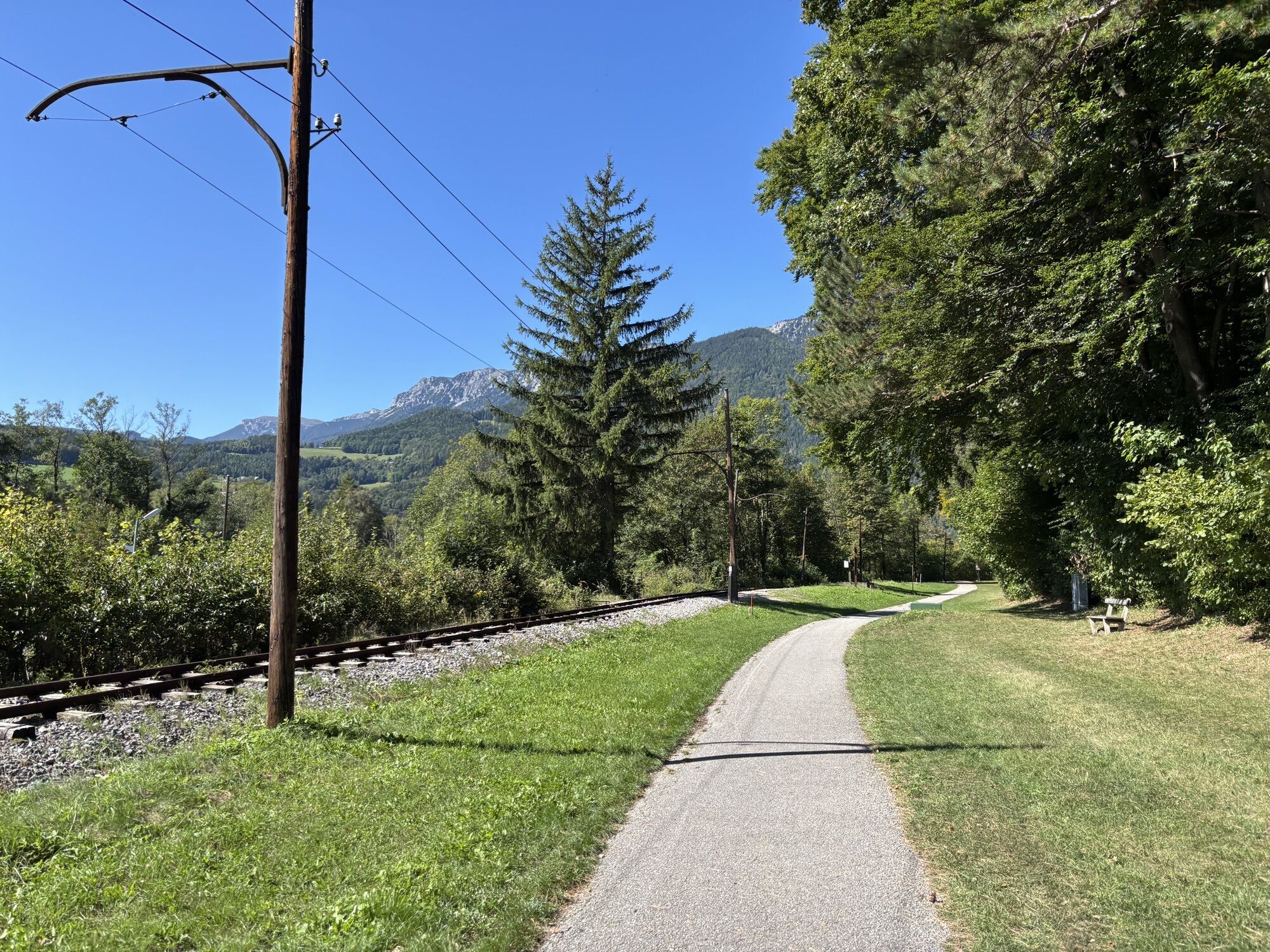
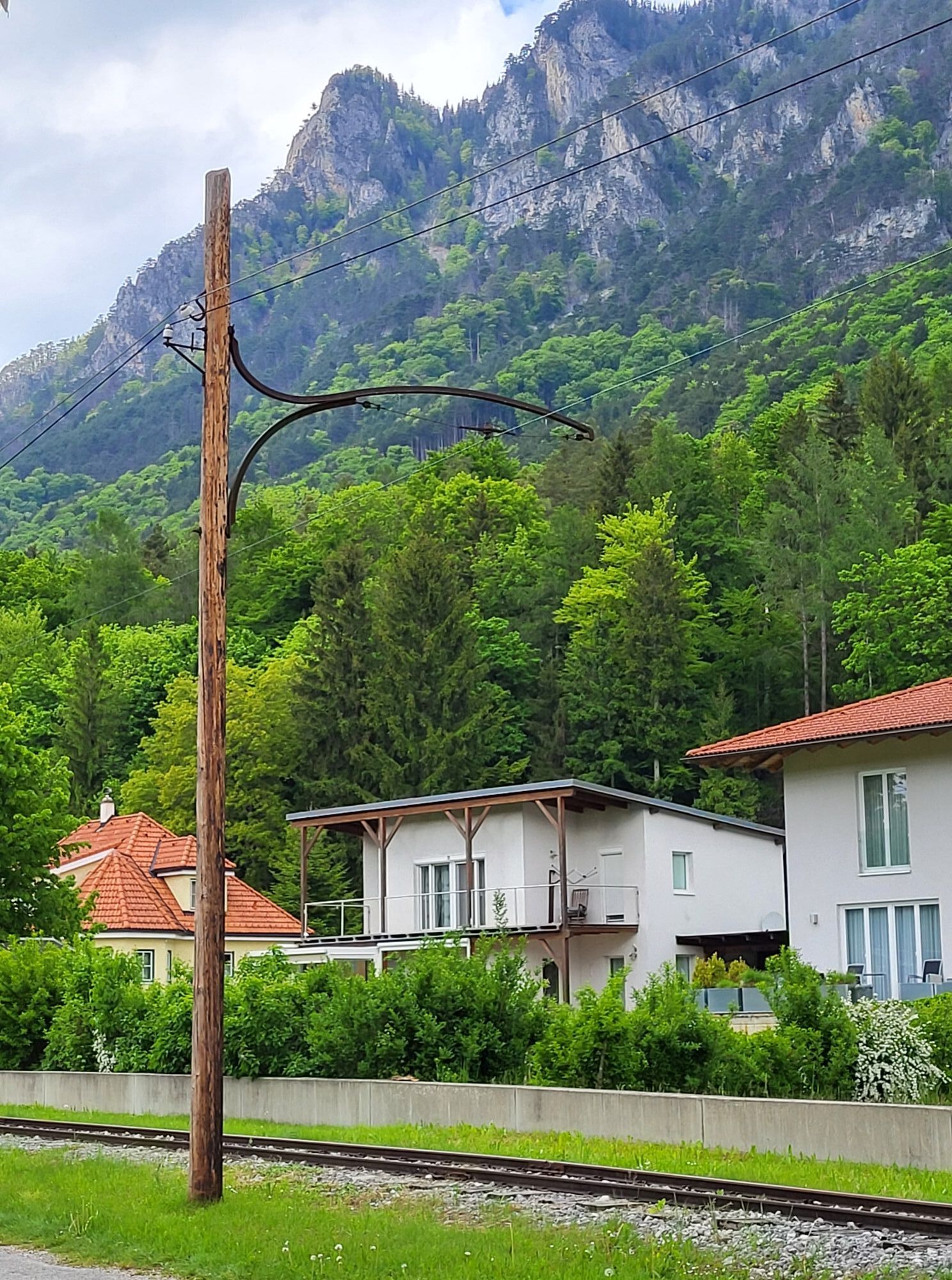
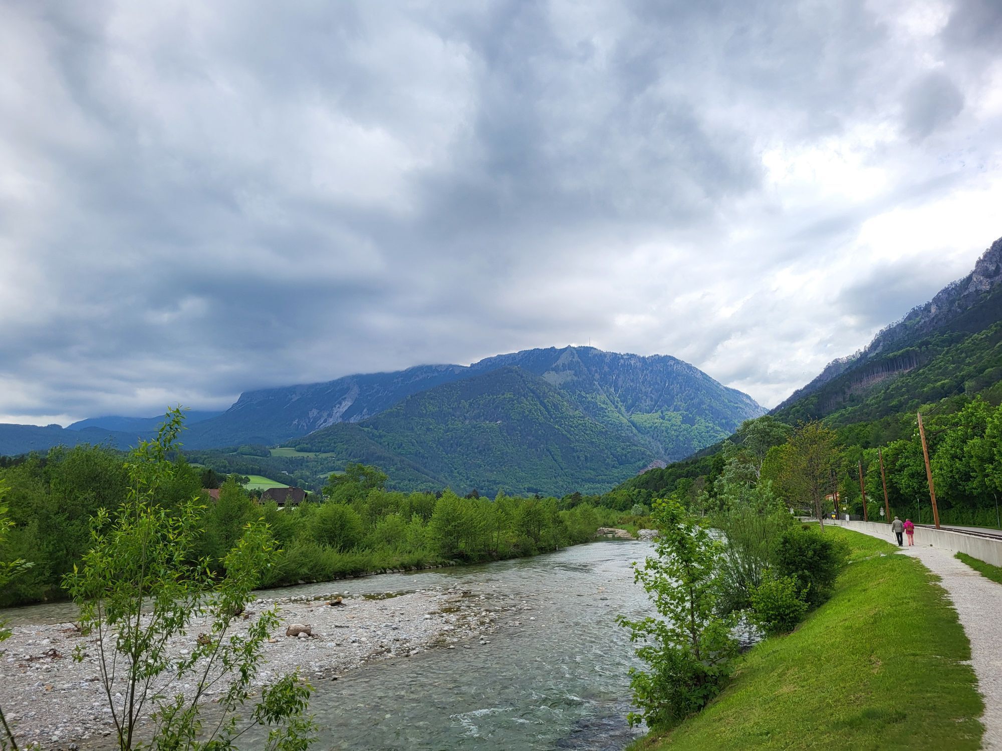
Fragrant mountain meadows, rock walls, gorges, clear springs, streams, bright floodplains, dark high forests. The air is mild and high alpine; the weather is sunnier and also harsher than down in the plains....
<p>Fragrant mountain meadows, rock walls, gorges, clear springs, streams, bright floodplains, dark high forests. The air is mild and high alpine; the weather is sunnier and also harsher than down in the plains. From 480 to 2075 meters altitude, you experience several seasons and vegetation zones at the same time in Reichenau – a more charming and alpine landscape is hard to imagine.<br />
Peace and activity meet in the idyllic villages of the Reichenau valley:<br />
Hirschwang, Edlach, Dörfl, and Prein with their original worlds, international atmosphere in Reichenau with its splendid villas and parks and its lively cultural life.<br />
Where fashionable life and rural summer retreats once dominated, today you encounter cheerful openness, warmth, originality as well as culture and hospitality at the highest level in the midst of intact nature: festival summer, mountain summer, winter magic, relaxation, cultural enjoyment, summer retreat, short holidays – the variety of nature and lifestyle in and around Reichenau makes you curious and attracts. Here there is still something that has disappeared elsewhere – time to arrive, enjoy, pause, sense, meet, live.<br />
Reichenau is worth (re) discovering – in every season.</p>

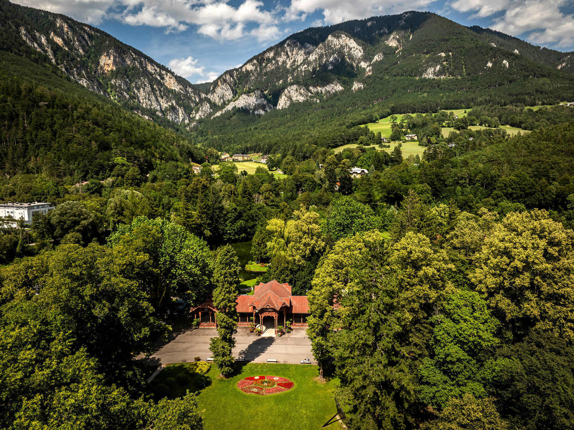

The start and finish are located at the castle square of Reichenau Castle at an altitude of 485 m. We run to the right along the Schwarza.<br/><br/>
After 1 km we cross the Schwarza and turn left at the end of the bridge into Haus am Stein-Gasse.<br/><br/>
After 100 m we turn right into Grünstingbachpromenade and run along the Grünstingbach.<br/><br/>
After 2,300 m we briefly turn right and after 20 m turn left again, running along the castle wall of Rothschild Castle. The following 400 m have an ascent<br/>
of 45 meters.<br/><br/>
The section between km 2.3 and 3.5 mostly runs through shaded forest.<br/><br/>
In the forest, we pass the Matthias Chapel. We cross Wartholzstraße after 3.3 km.<br/><br/>
At km 3.7 is the entrance to Gasthof Kobald or the Seminar Park Hotel Hirschwang.<br/><br/>
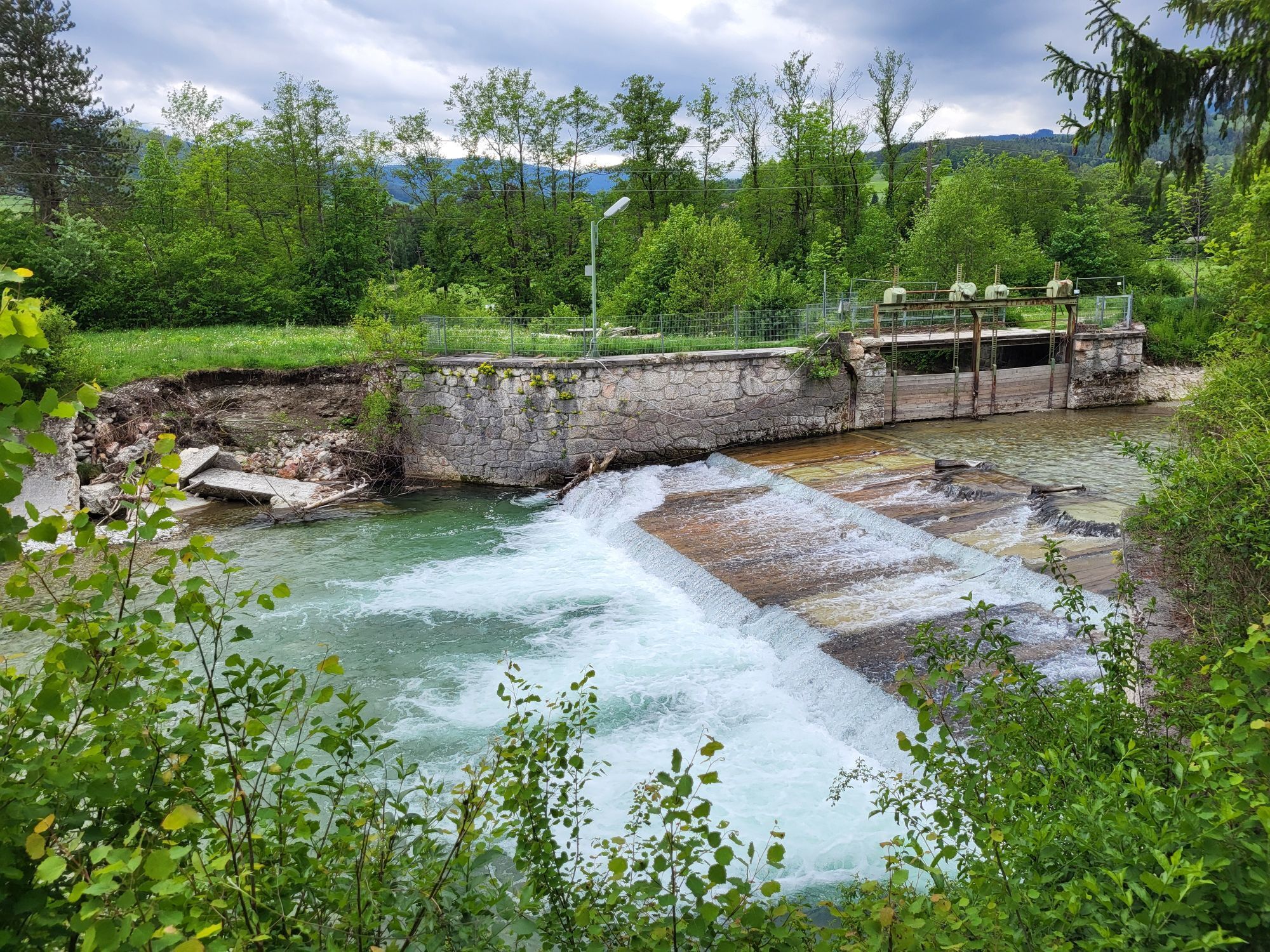
We cross the Höllental federal highway B27 and pass the Schwarza at the weir<br/>
after 4.3 km.<br/><br/>
On asphalt and later on the riverside trail, we run back. After 5,700 m, the start and finish point at the castle square in Reichenau is reached.
<p>Although most paths are well-developed hiking trails, you still move through hilly and mountainous terrain. Appropriate equipment is recommended.</p><p>Some sections lead into high alpine terrain where the weather can change at any time. Therefore, caution is advised.</p><p>Always take suitable <strong>maps</strong> with you. Wear sturdy <strong>shoes</strong> appropriate for the route, bring sun and rain protection as well as water and a snack. Take your <strong>mobile phone</strong> and save the mountain rescue emergency number: 140</p>
<p>Your hikes in the Vienna Alps should be a thoroughly wonderful and safe experience. Please observe the following:</p><p><strong>Preparation </strong></p><p>Make sure when choosing the route that it matches your mountain experience and <strong>fitness</strong>. Inform yourself in advance about the <strong>weather forecast</strong>. The weather can change surprisingly fast in the mountains. Therefore, always set out properly equipped (e.g., rain protection).</p><p>Check whether the <strong>huts and snack stations</strong> you want to visit en route are open. <strong>Inform</strong> someone about your chosen route and planned return before you start.</p>
<p>By car, Reichenau is reachable from Vienna or Graz via the A2 South Motorway to the Seebenstein junction, and the S6 Semmering Expressway to the Gloggnitz exit in about one hour.</p>
<p>ÖBB Vienna South Station - Payerbach Reichenau Station
</p><p>Buses of the Retter lines (Bus no.: 1746 and 1748)</p>
Responsible for the content of this route
Vienna Alps in Lower Austria
Last updated: 19.10.2023
Market community Reichenau an der Rax, Tourism Office
2651 Reichenau an der Rax, Hauptstraße 63
02666/52865
tourismus@reichenau.at
www.reichenau.at
More information:
Vienna Alps in Lower Austria, www.wieneralpen.at , +43 / 2622 / 78960
Uzyskaj wgląd
Zawsze na żywo z ponad 9 500 kamer internetowych. bergfex Jako użytkownik Pro, możesz teraz zobaczyć odpowiednie kamery internetowe dla wielu wycieczek w aplikacji wycieczki od. Pozwala to na bezpośredni podgląd aktualnych warunków.
Popularne wycieczki w okolicy
-
4,7
Losenheim: Edelweißhütte - Fadensteig - Fischerhütte
średniWędrówka 11,5 km -
4,7
Zahnradbahn und Wandern am Schneeberg - Plateauwanderung
średniWędrówka 6,90 km -
4,8
Cultural walk Payerbach-Reichenau
światłoWędrówka 7,43 km -
4,8
Rax - Heukuppe
Wędrówka 15,6 km -
5,0
"Weichtalklamm" über Stock und Stein durch das Höllental - Weichtalhaus - Kientallerhütte 1340m
średniWędrówka 14,0 km -
5,0
Insider tip: Schneeberg via the Novembergrat
ciężkiWędrówka 13,5 km -
4,9
"Über den höchsten Nieder-Ösi" - Schneeberg - Weichtalklamm - Klosterwappen - Stadlwandleiten
średniWędrówka 17,7 km -
4,9
Reißtalersteig und Gretchensteig
ciężkiWędrówka 8,10 km -
4,9
SCHNEEBERG Losenheim Nandlgrat Klosterwappen Fadenweg 28.09.2017
ciężkiWędrówka 15 km -
4,9
RAX Runde
światłoWędrówka 19,6 km
Wędrówki i tropienie


Nie przegap ofert i inspiracji na następne wakacje
Twój adres e-mail została dodana do listy mailingowej.





