







Movement arena Gloggnitz route G3
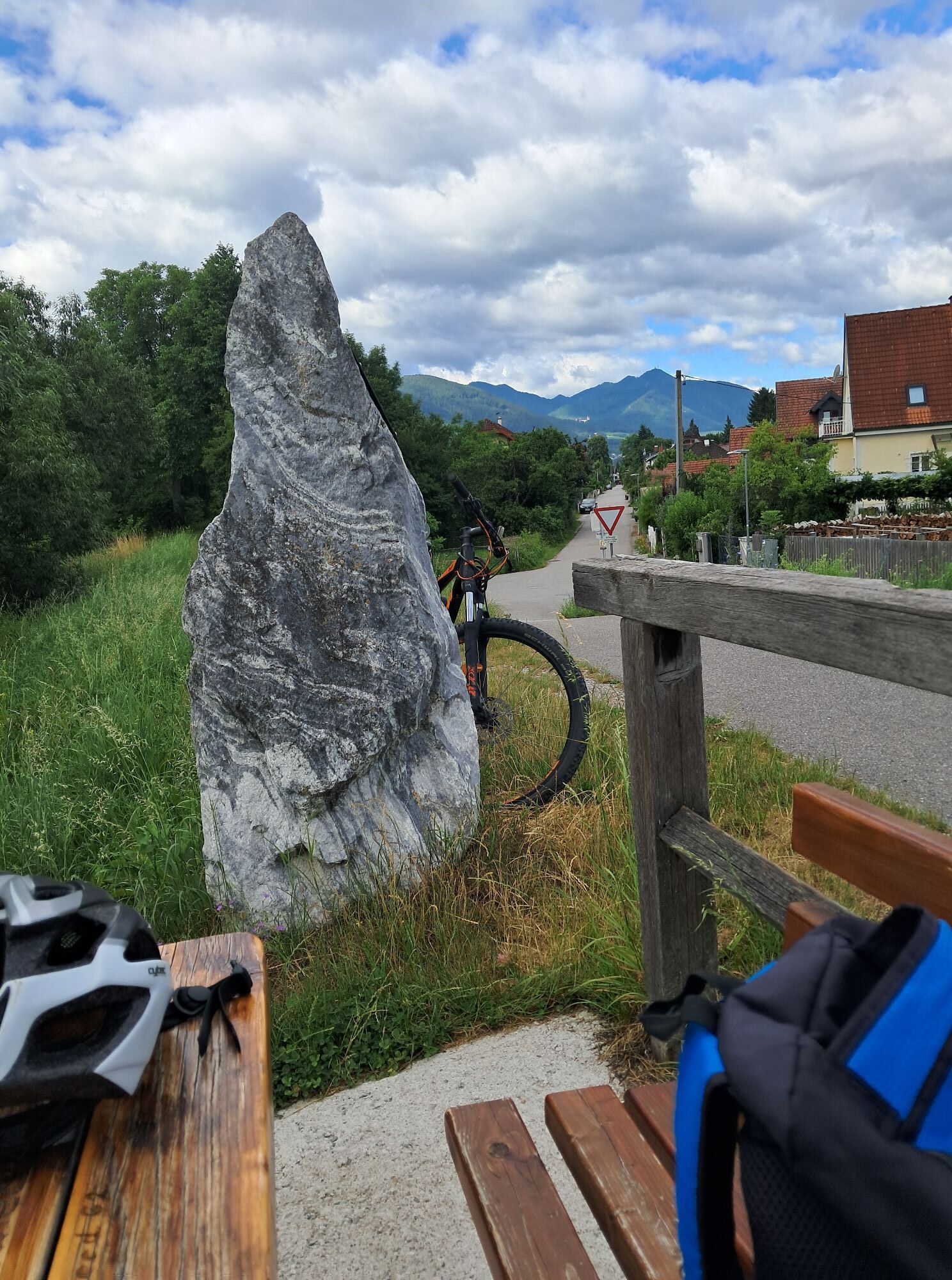

Starts at the Renner Bridge panoramic board together with the G1 route up to the Kläranlage panoramic board, from there combined
with G2 running on mixed terrain in a wonderfully quiet natural and scenic...
<p>Starts at the Renner Bridge panoramic board together with the G1 route up to the Kläranlage panoramic board, from there combined</p><p>with G2 running on mixed terrain in a wonderfully quiet natural and scenic environment and at the end it goes</p><p>together with G1 back to the start.</p>


<p>red signposting G3</p><p>Total ascent 25 m</p>
<p>Running shoes</p>
<p>medium difficulty route</p>
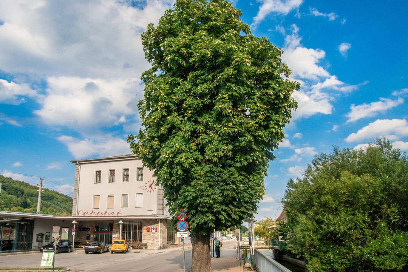
<p>From the S6 exit Gloggnitz towards the station</p>
<p>By ÖBB <a href="www.oebb.at">www.oebb.at</... to Gloggnitz.
</p><p>By bus to the Gloggnitz bus station.</p><p>From the station to Renner Bridge in 2 minutes on foot.</p>
<p>Parking available</p>
www.runnersfun.com
Ideal for building endurance.
Popularne wycieczki w okolicy
-
4,8
Cultural walk Payerbach-Reichenau
światłoWędrówka 7,43 km -
3,7
Schwaigen Rundwanderung
światłoWędrówka 8,24 km -
5,0
Insider tip: Schneeberg via the Novembergrat
ciężkiWędrówka 13,5 km -
4,9
Schneeberggebiet: Ein Stückchen am Wasserleitungsweg im Höllental
światłoWędrówka 2,64 km -
3,8
St. Corona - Kampstein
średniWędrówka 10,7 km -
4,8
"Krummbachstein 1602m" - Eng - Payerbach - Rundwanderweg
średniWędrówka 24,8 km -
4,8
Flatzer Wand Wanderung
światłoWędrówka 5,62 km -
4,6
Prigglitz - Pottschacher Hütte - Rote Wand - Prigglitz
światłoWędrówka 8,80 km -
4,6
Mariensee - Wildwasserweg - Marienseer Schwaig
światłoWędrówka 8 km -
4,6
Bucklige Welt: Auf dem Pittentaler Klettersteig zum Türkensturz
średniVia ferrata 1,96 km
Wędrówki i tropienie


Nie przegap ofert i inspiracji na następne wakacje
Twój adres e-mail została dodana do listy mailingowej.





