







Ostalpin Trail Lackenhof-Hochkar
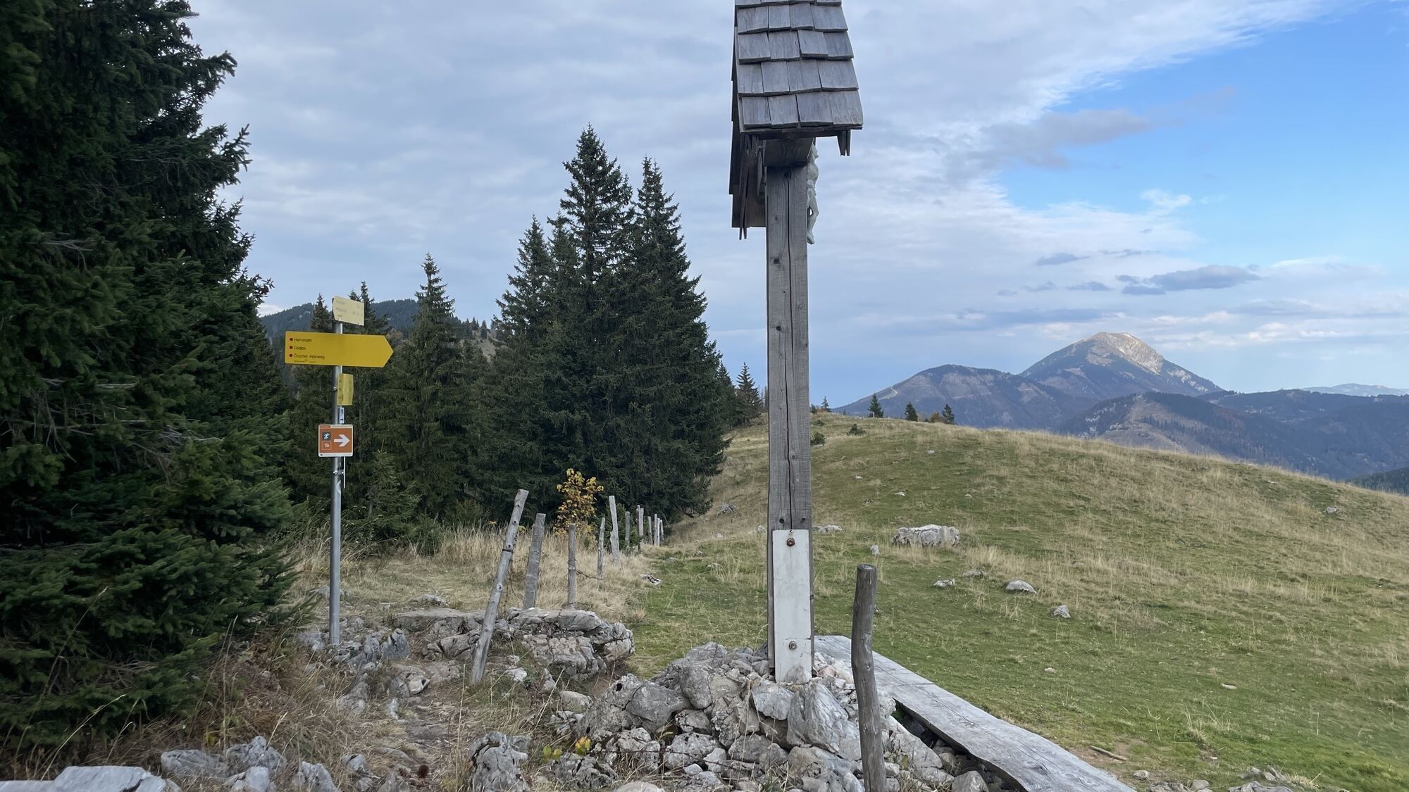
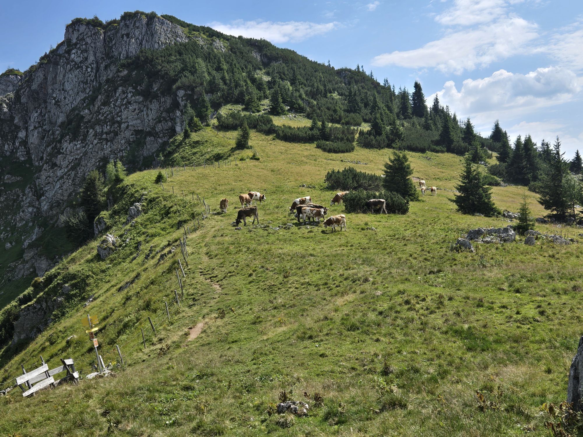
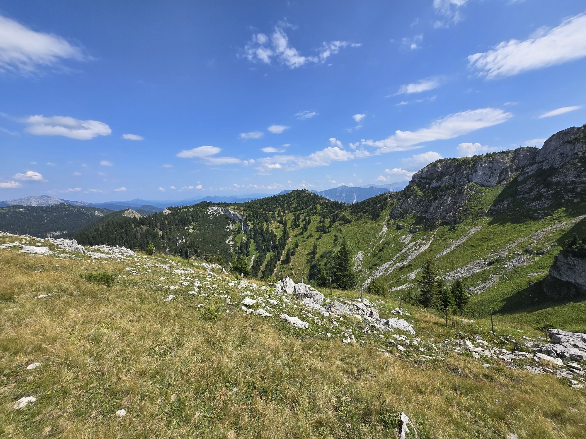
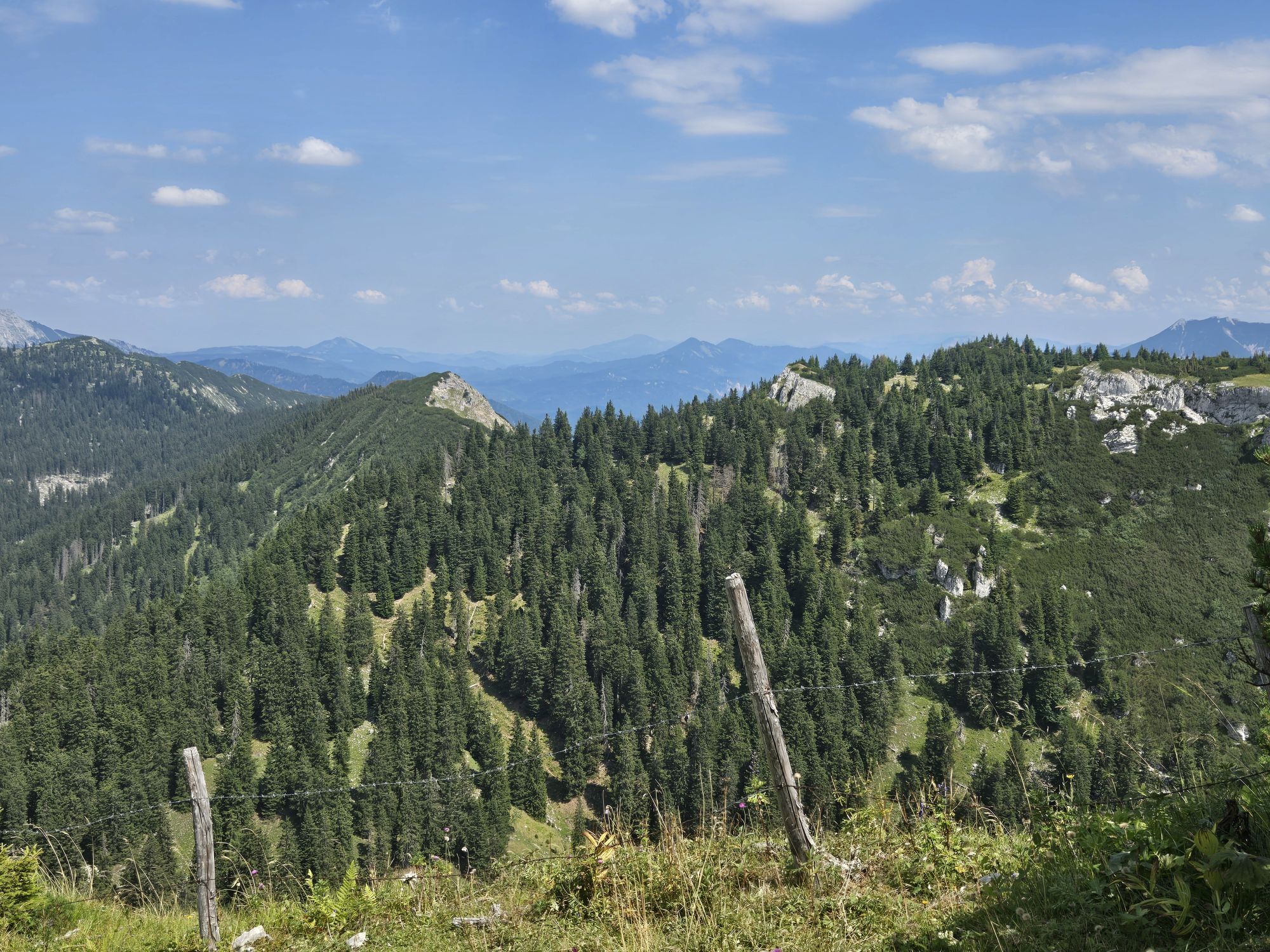
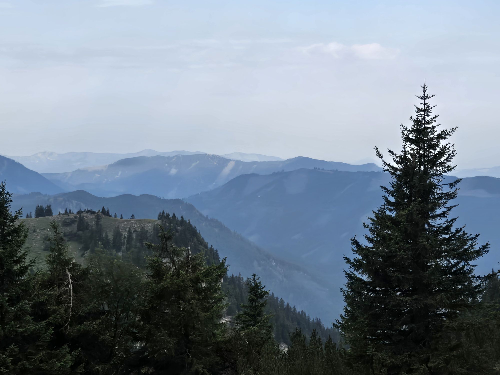
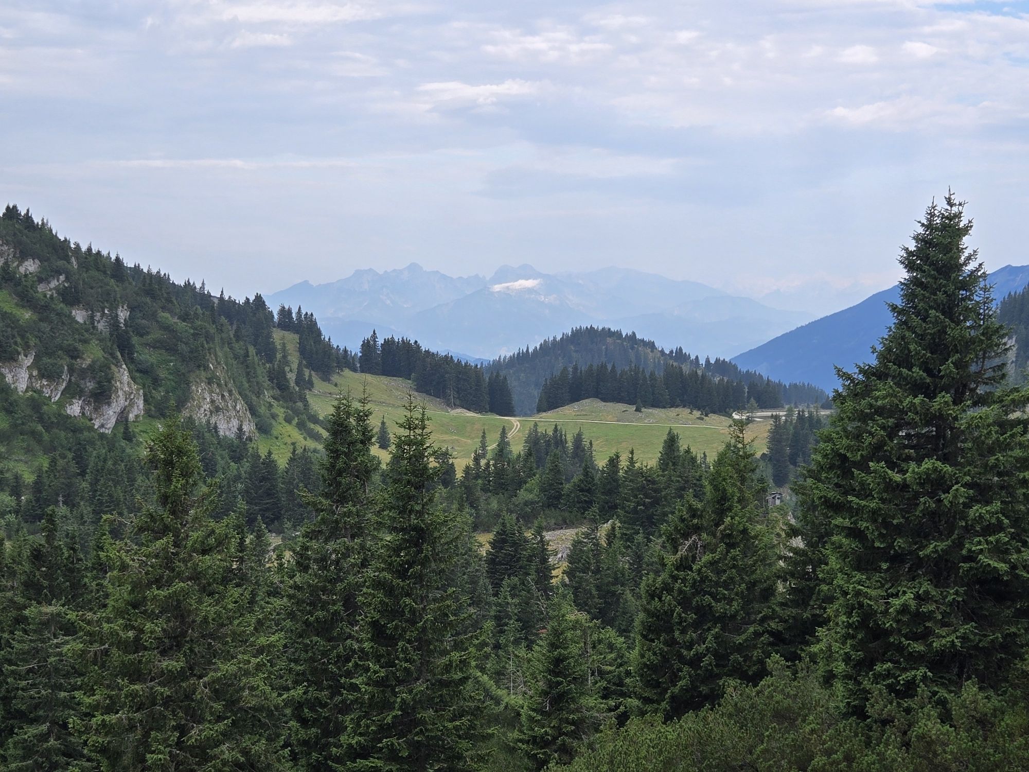
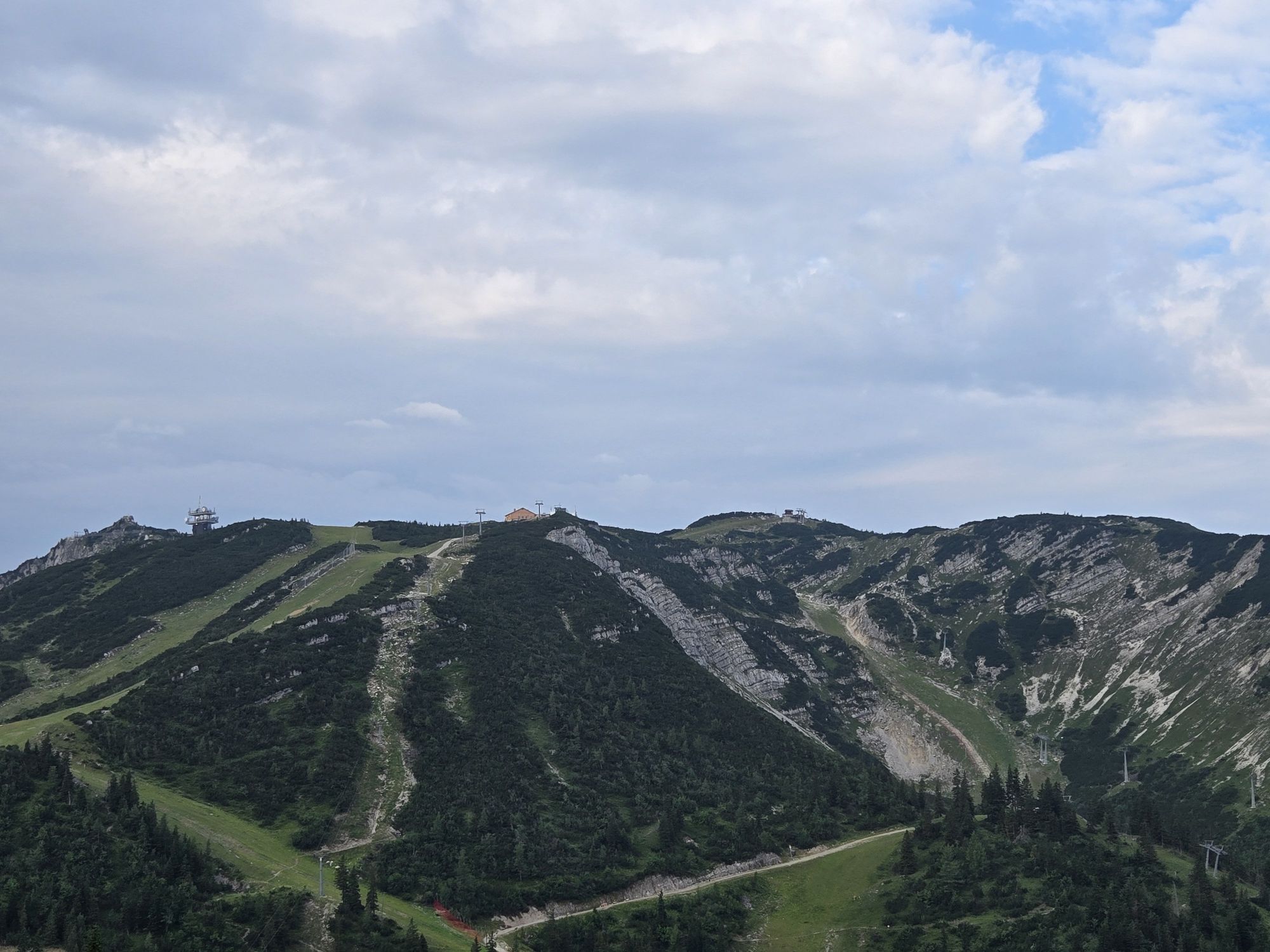
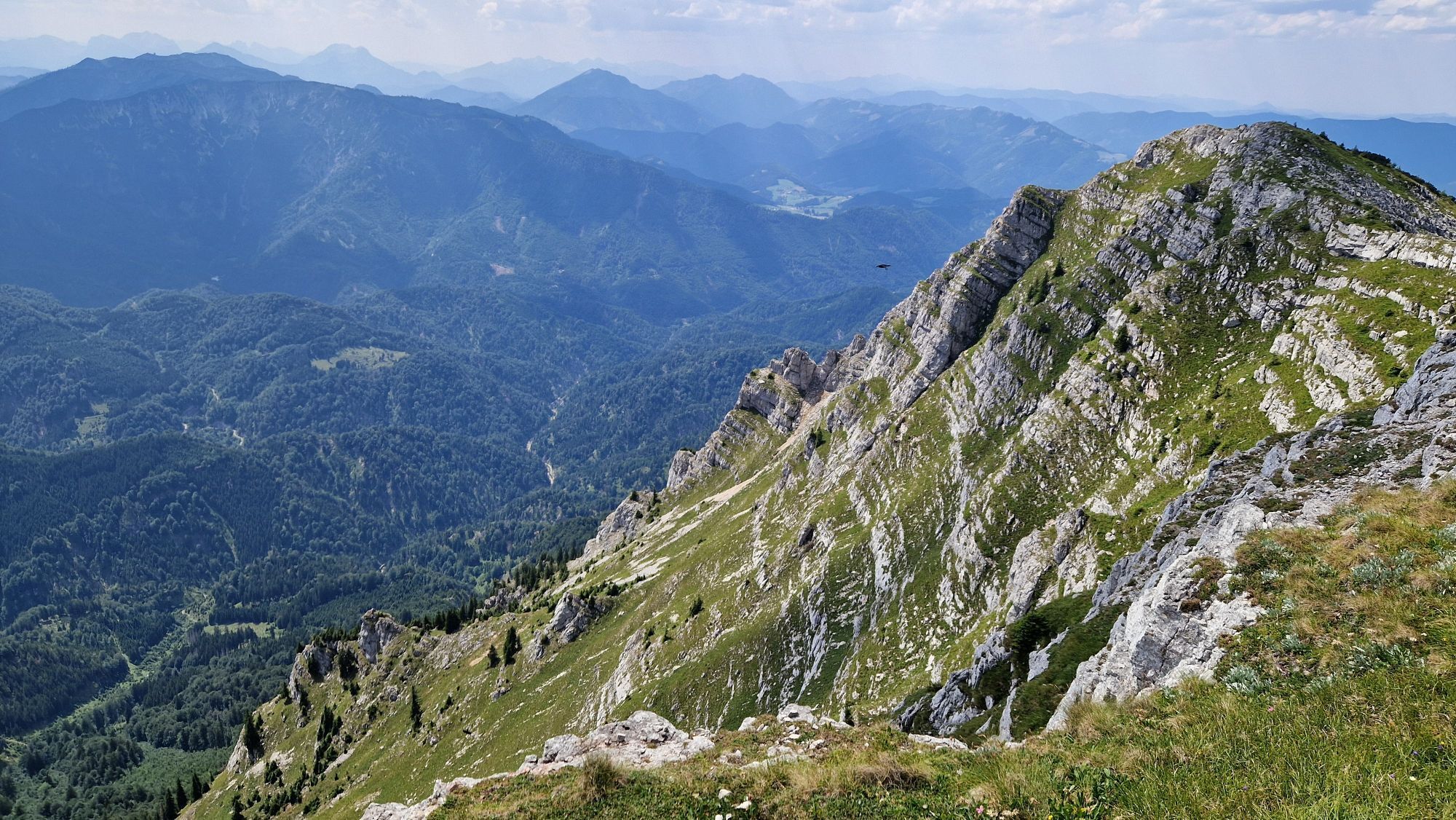
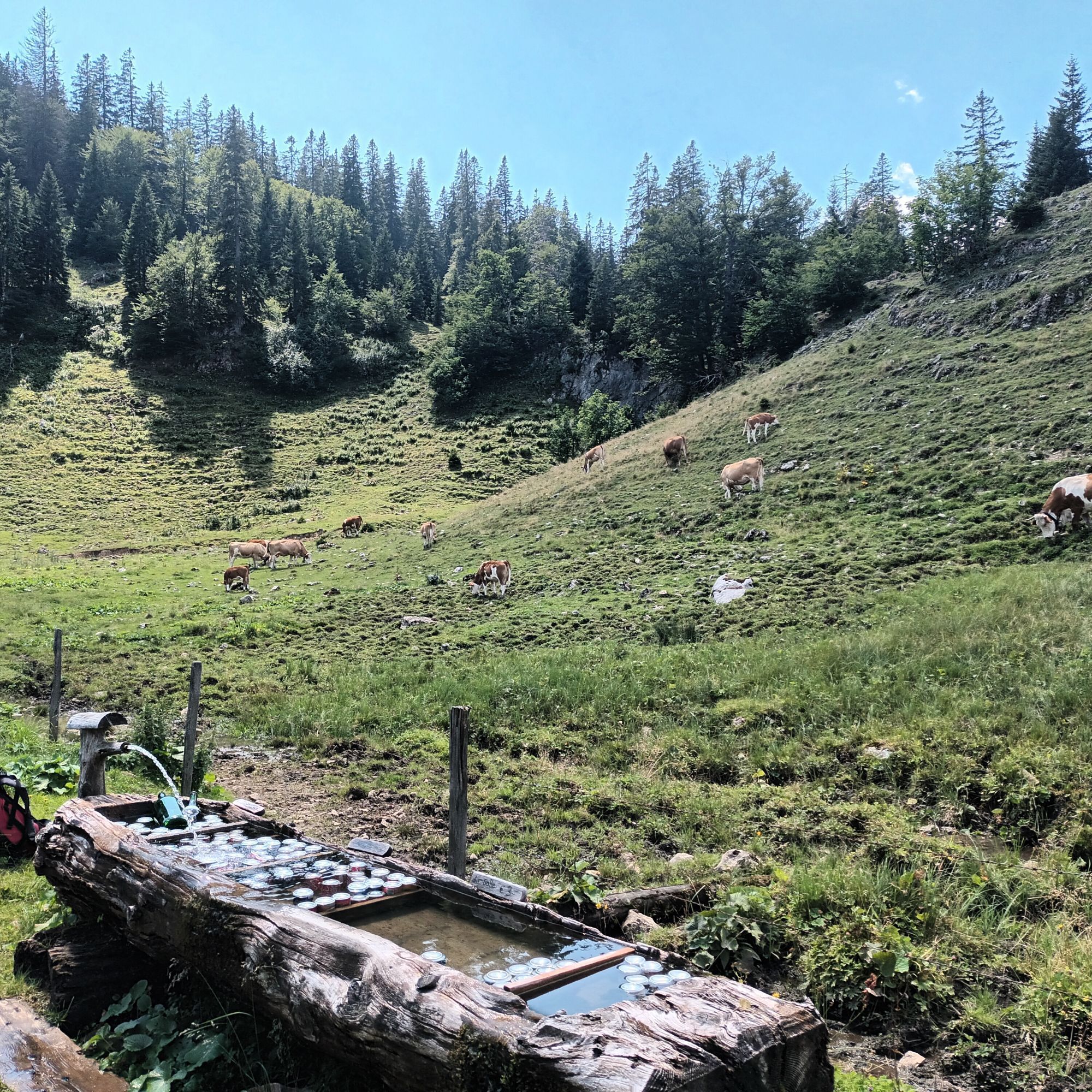
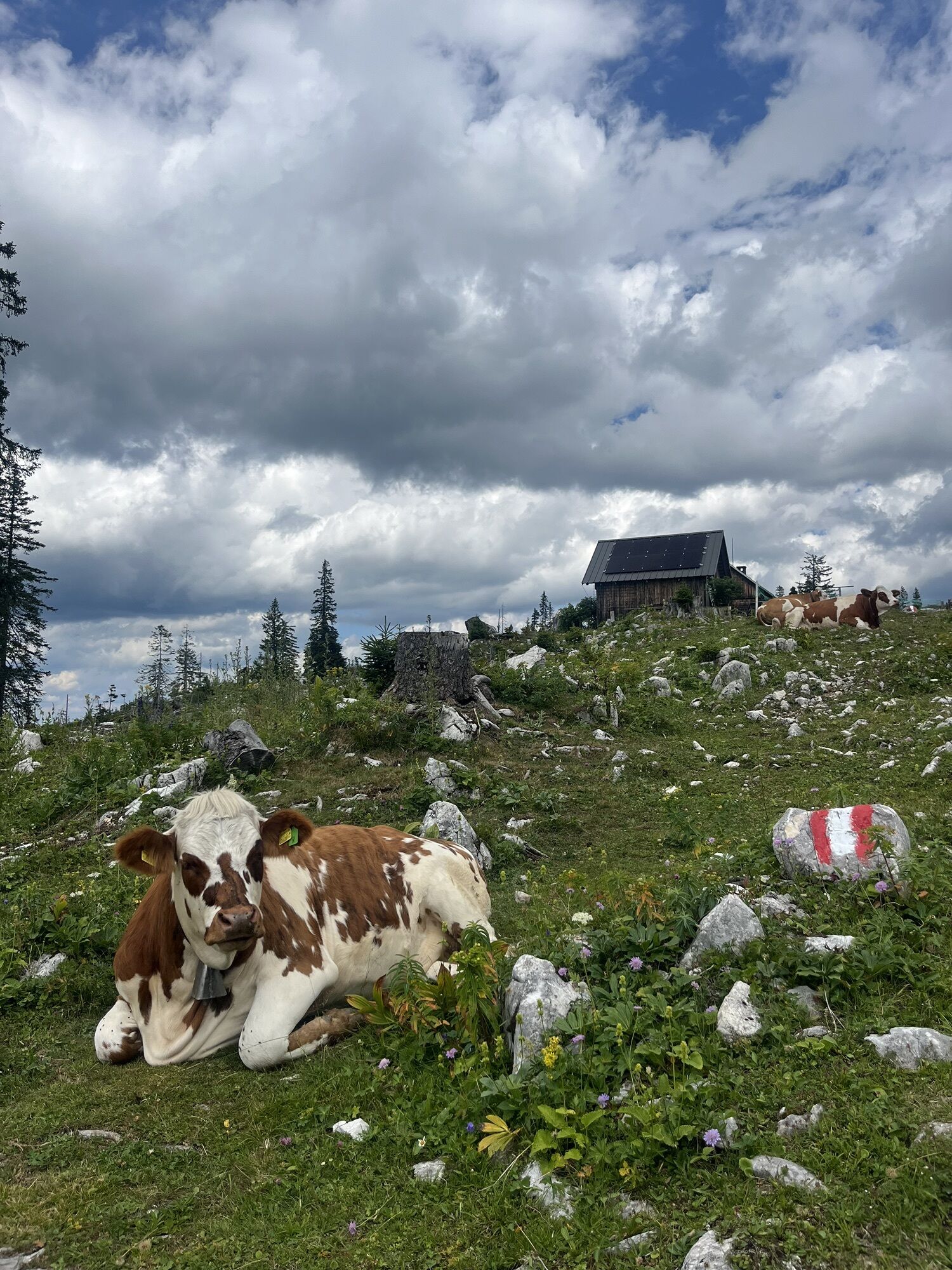
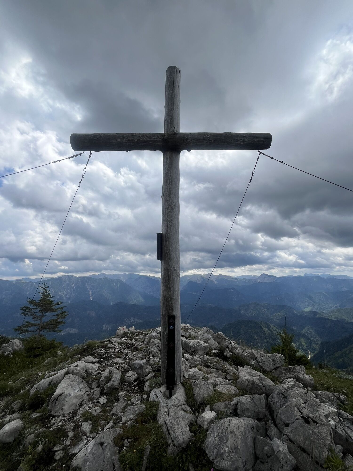
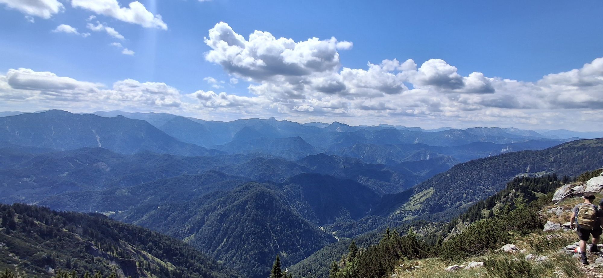
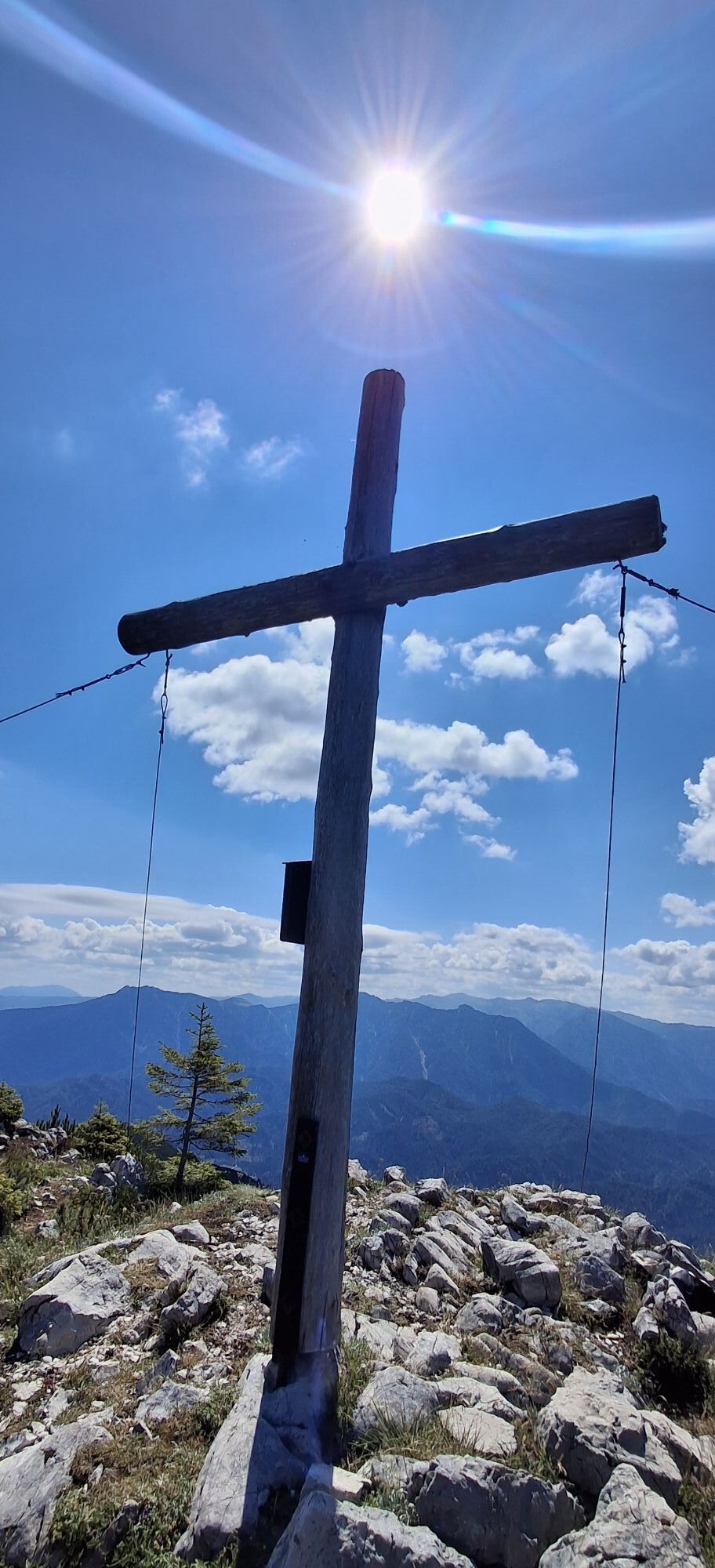
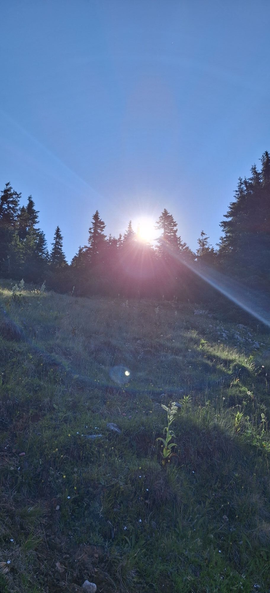
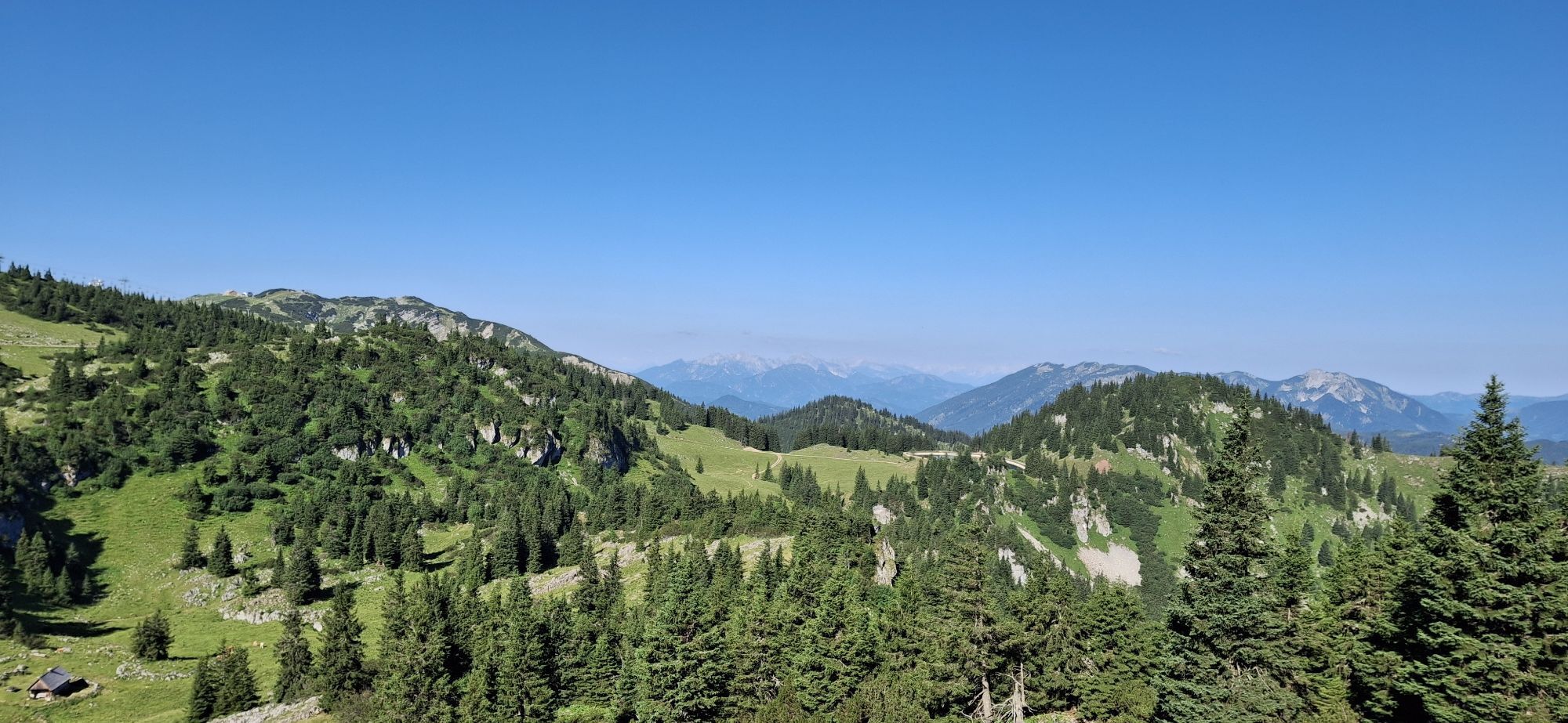
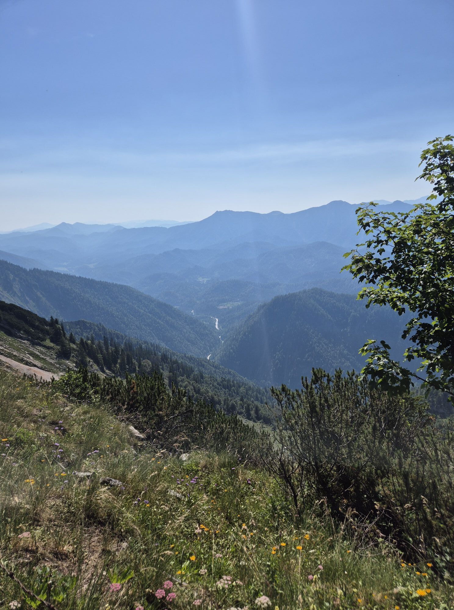
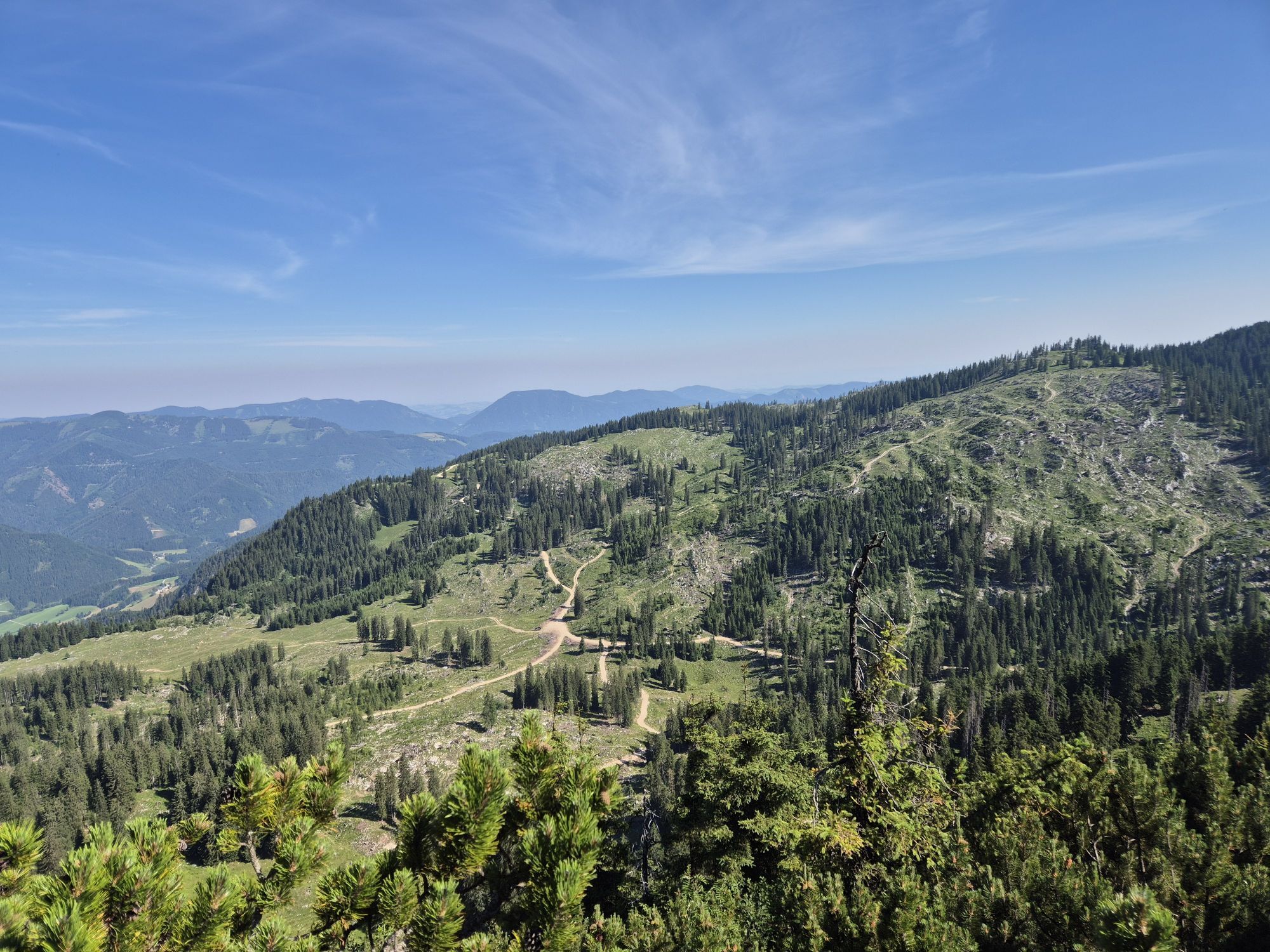
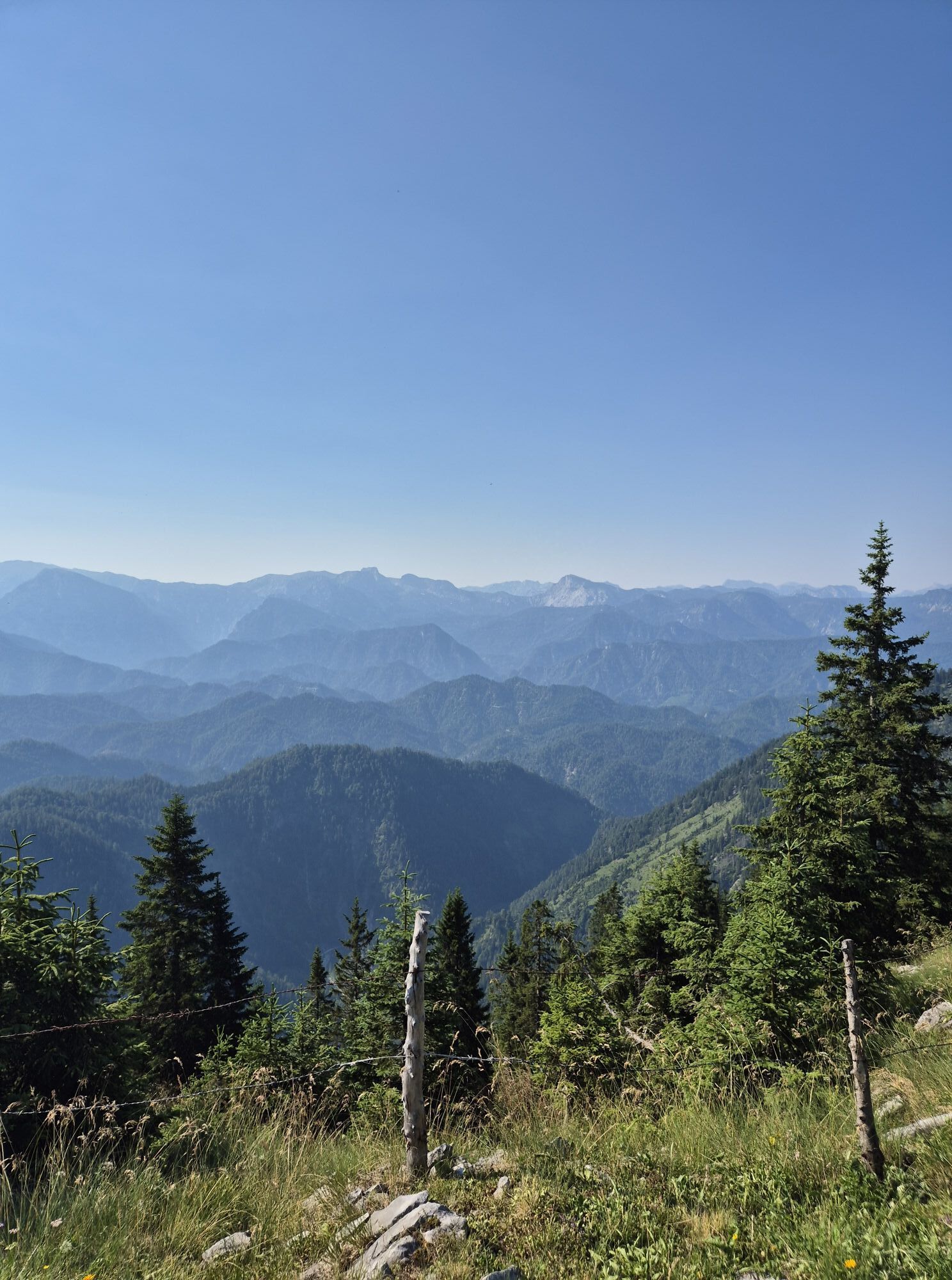
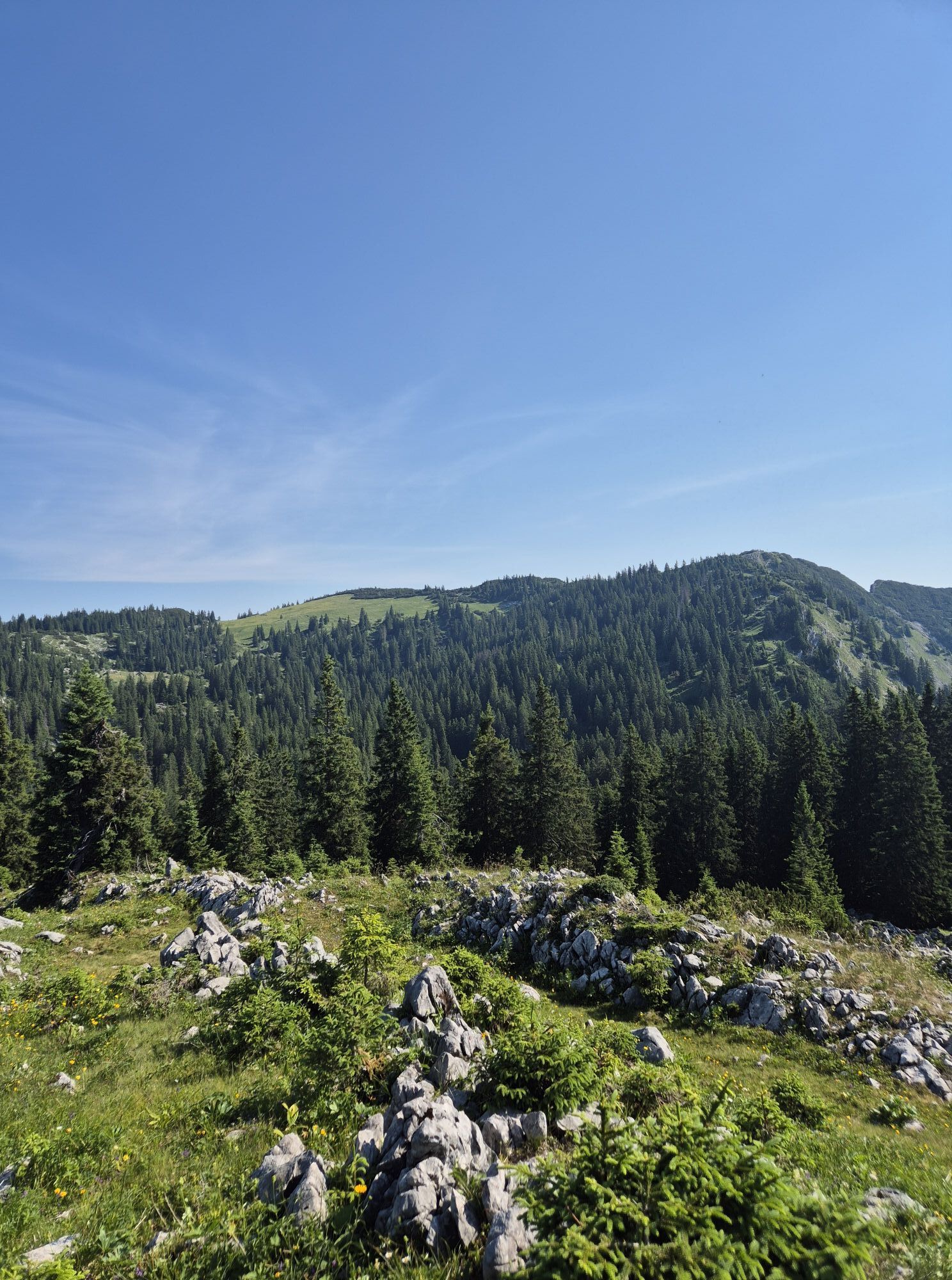
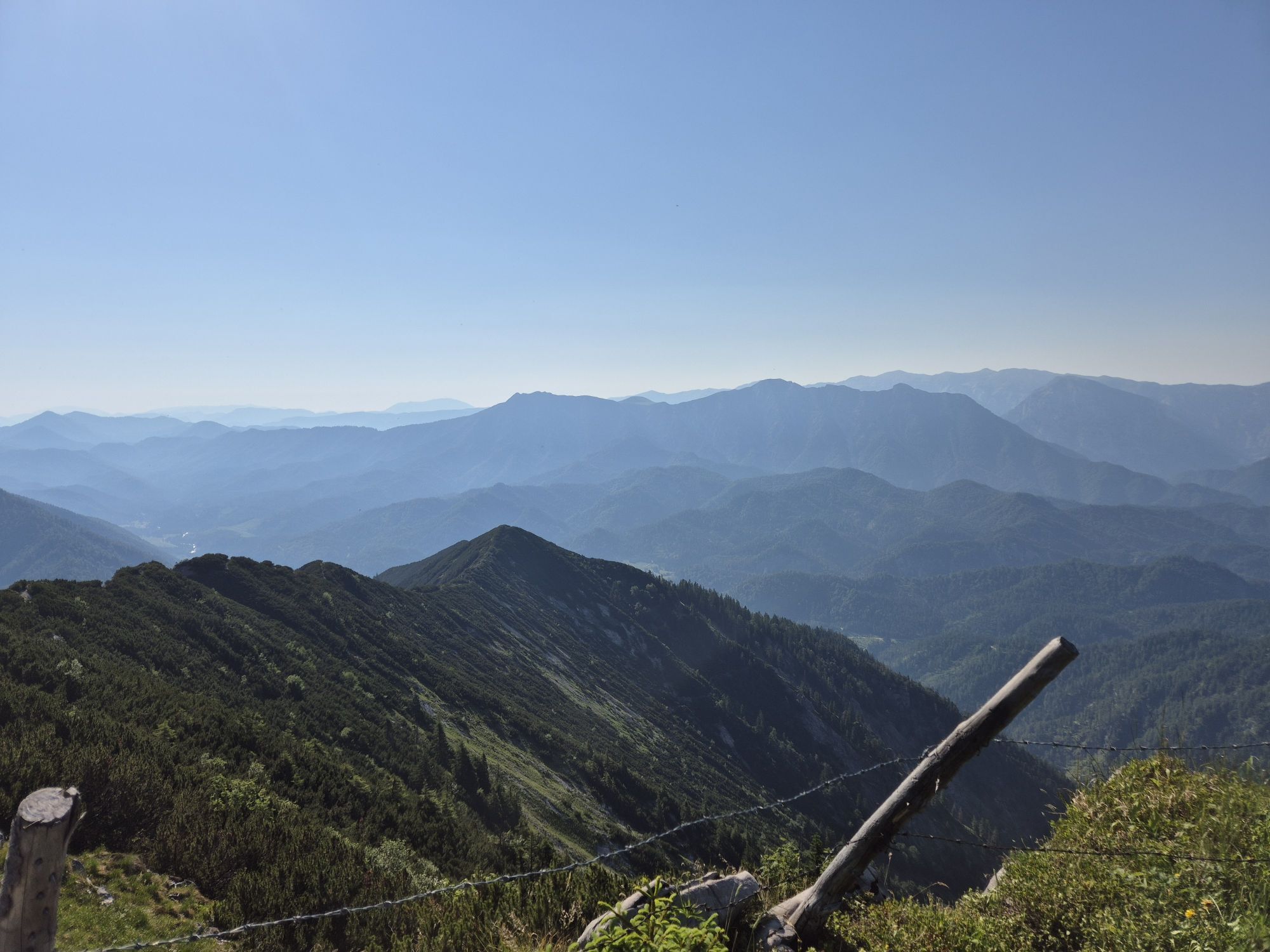
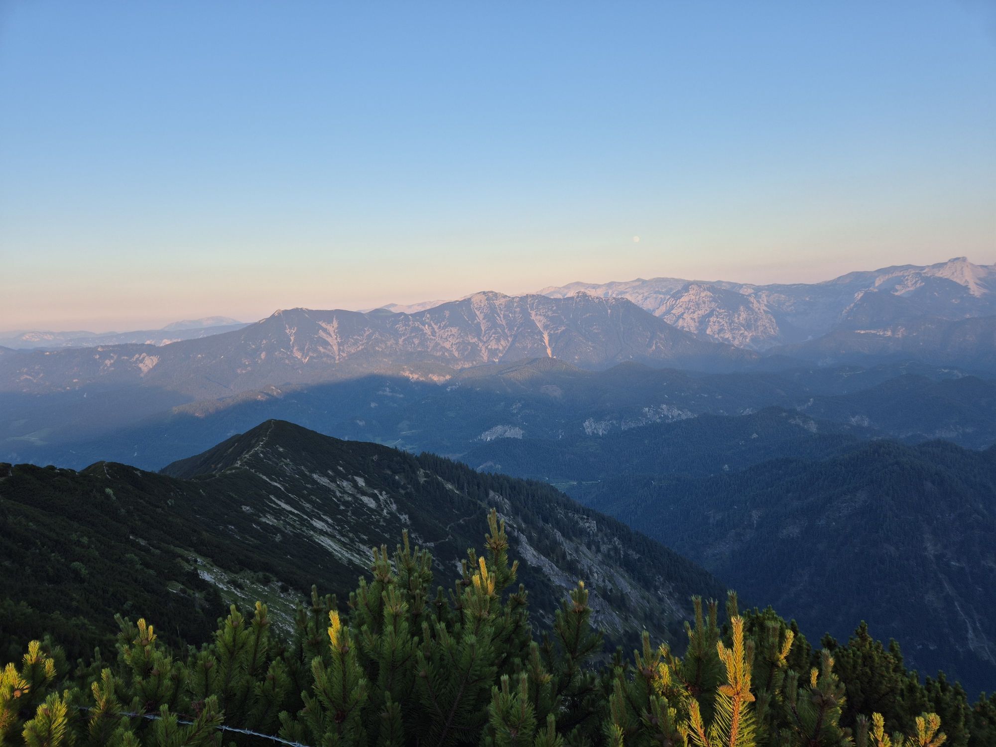
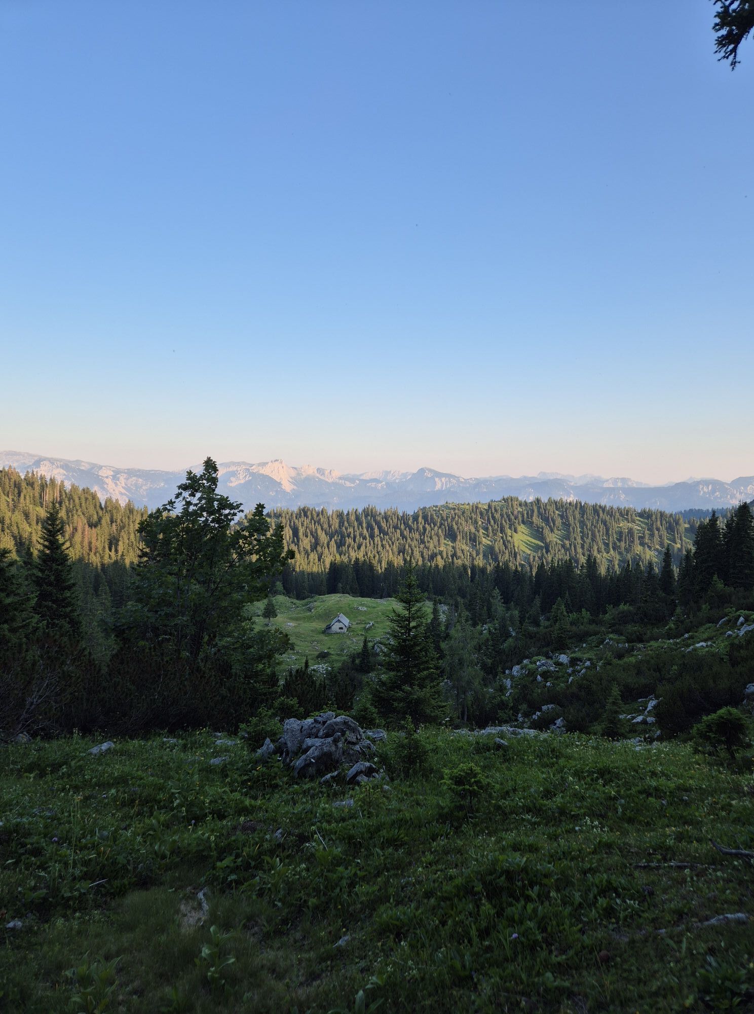
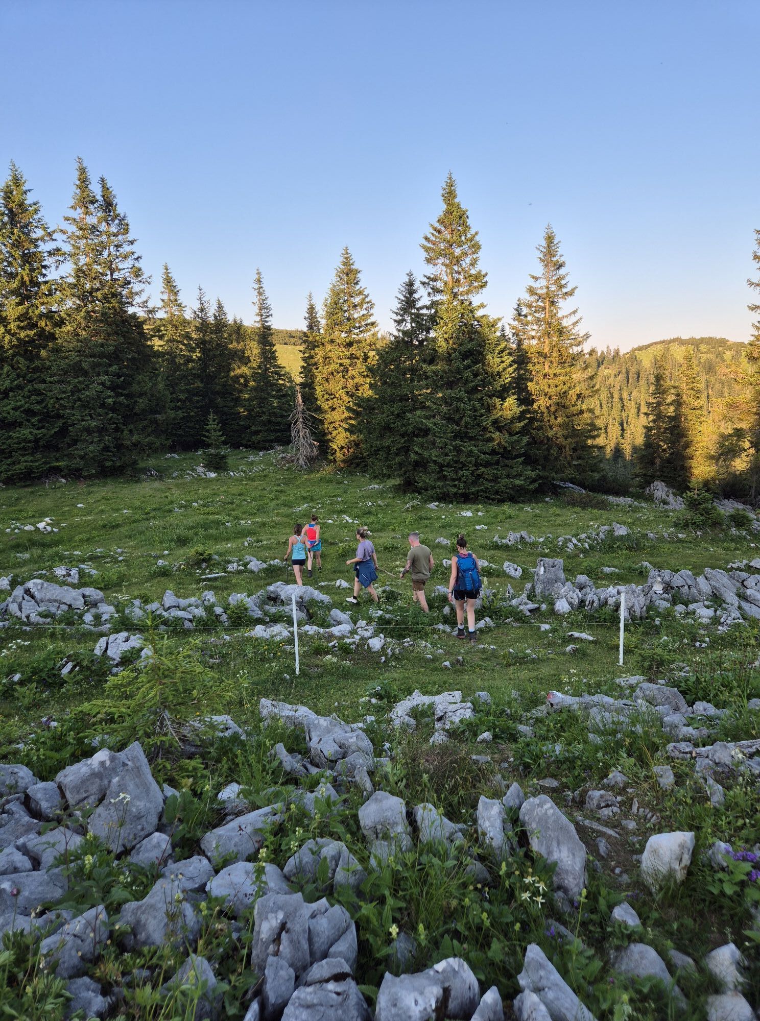
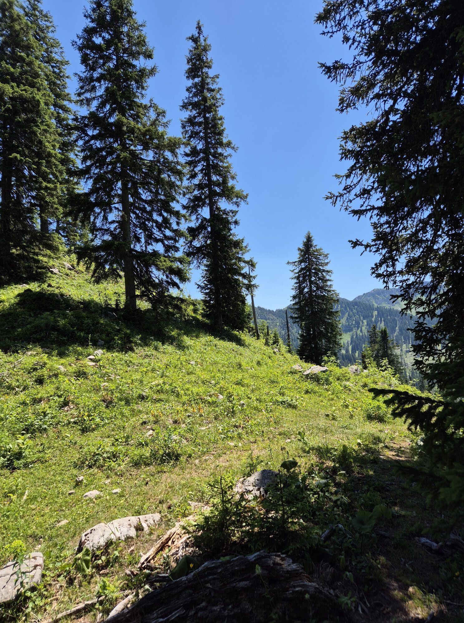
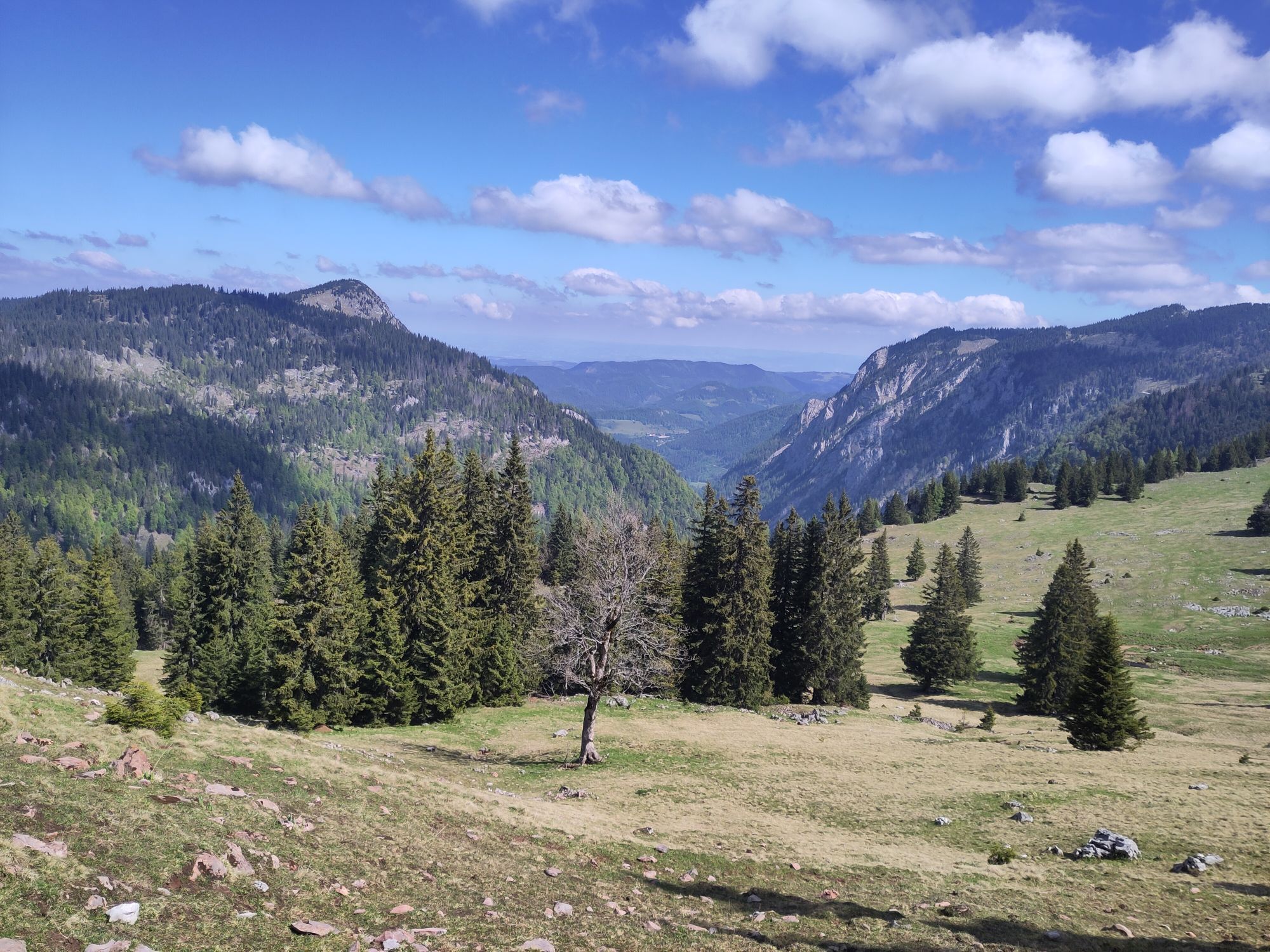
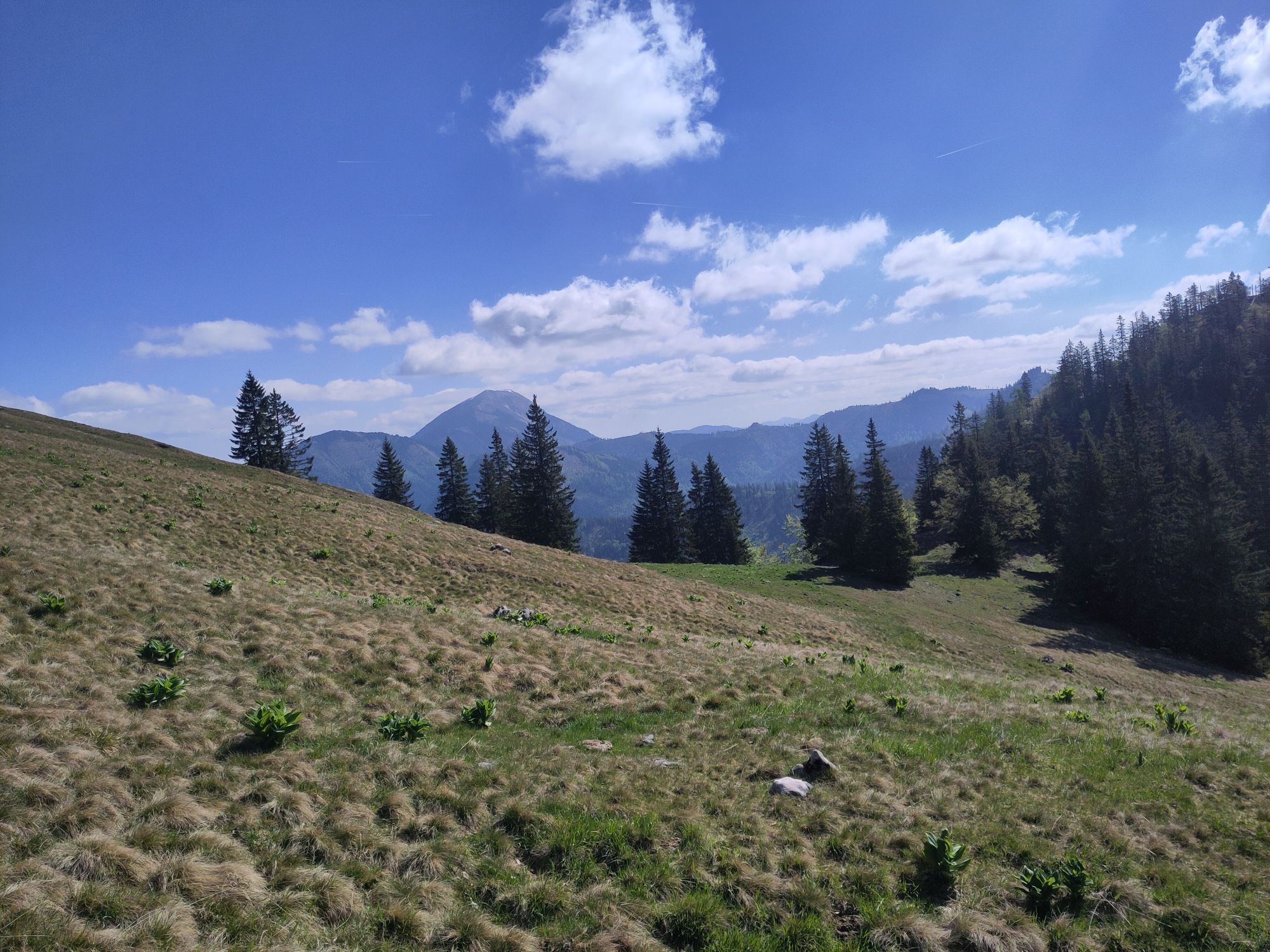
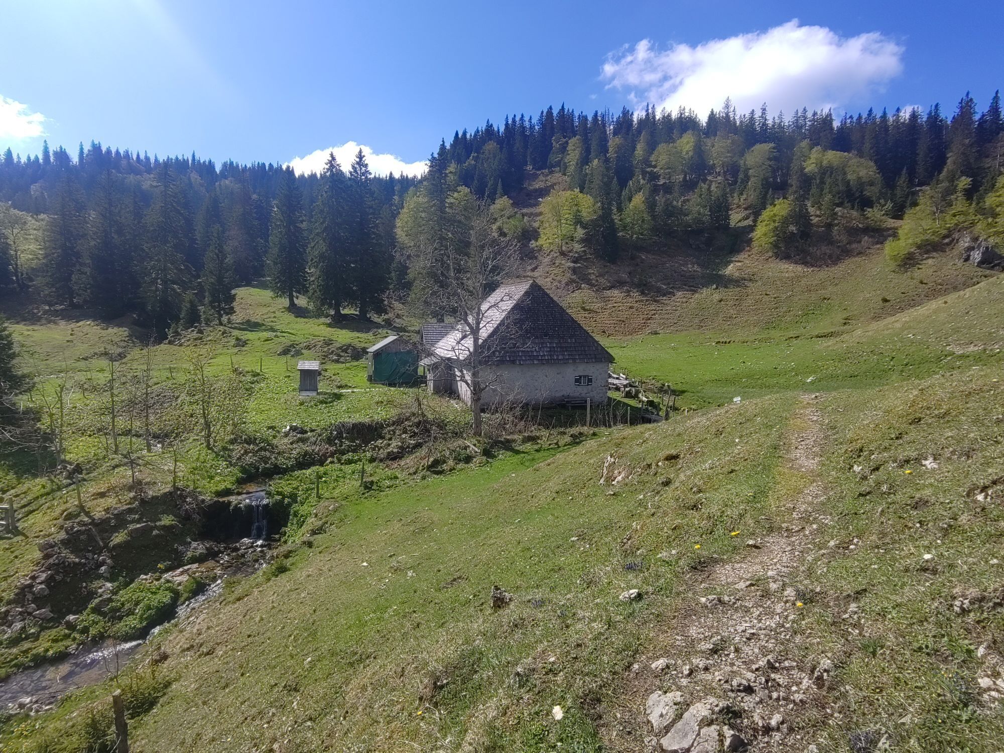
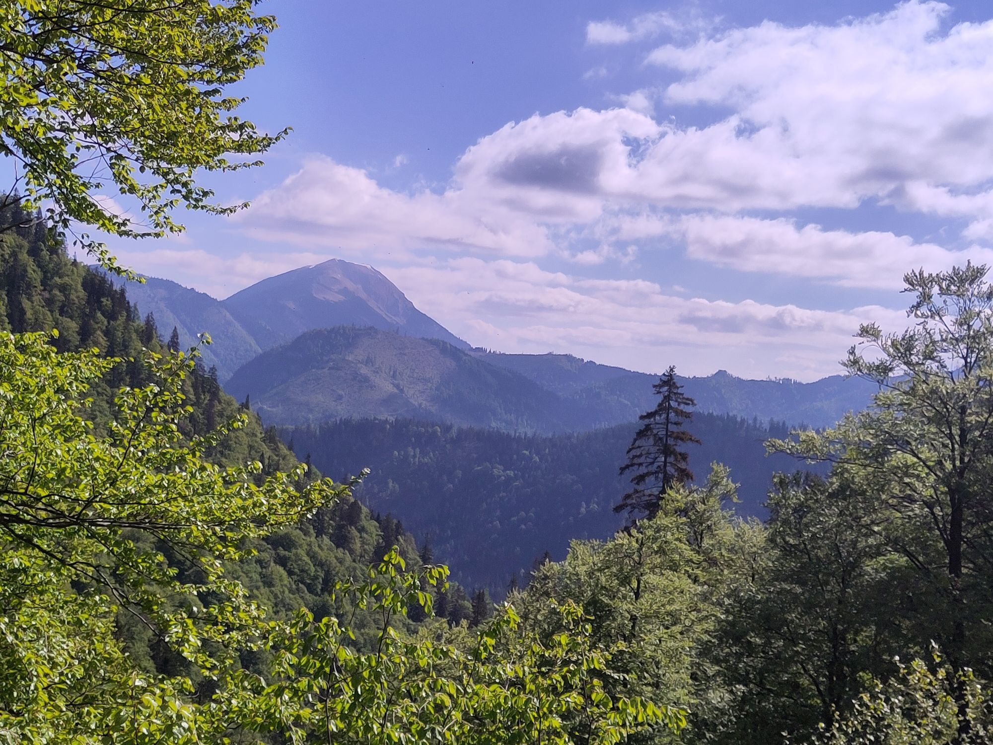
From Lackenhof, the trail leads over the Riffelsattel into Langau. Via the Herrenalm (temporarily closed), the trail leads up to the mighty Dürrenstein, the highest point of the route. Following the ridge,...
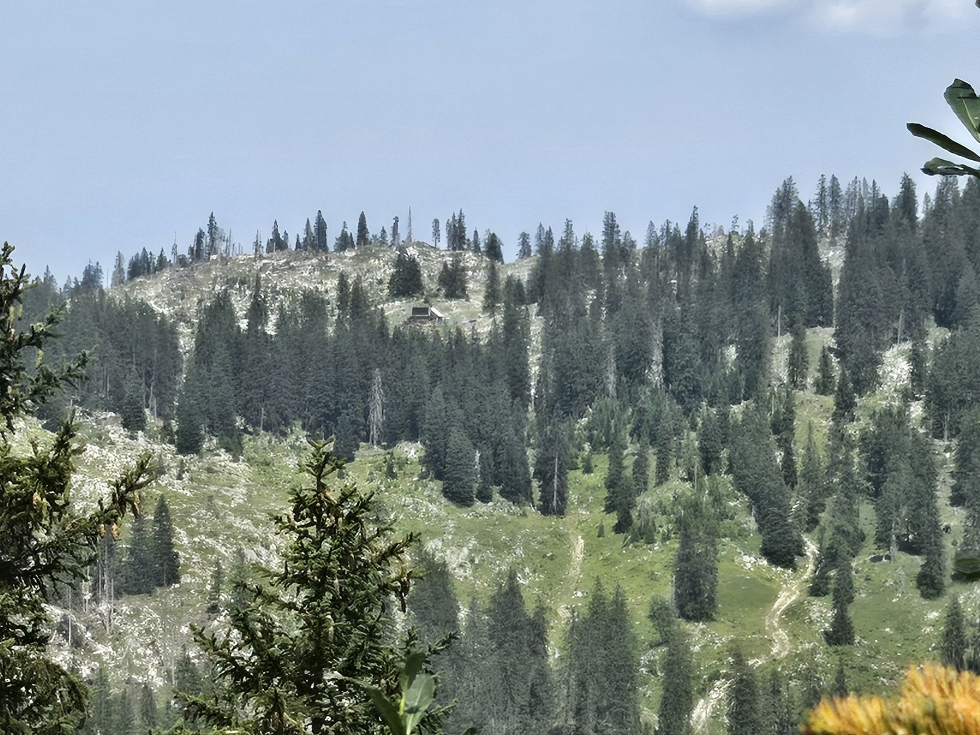
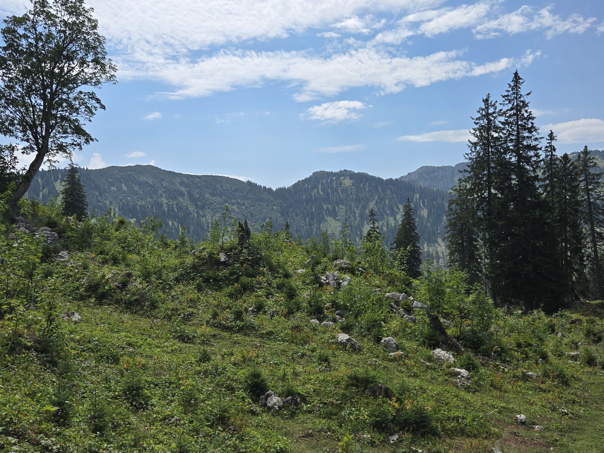
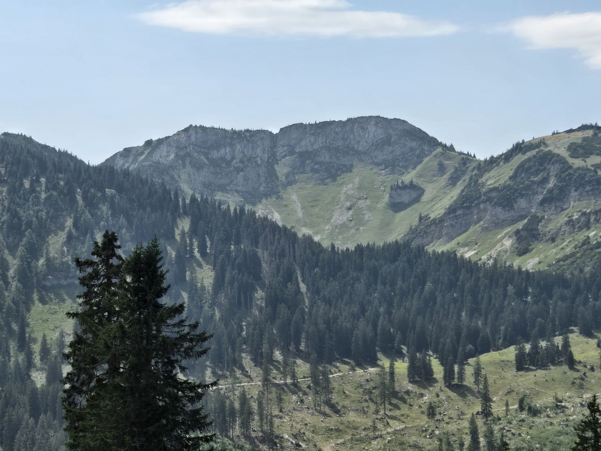
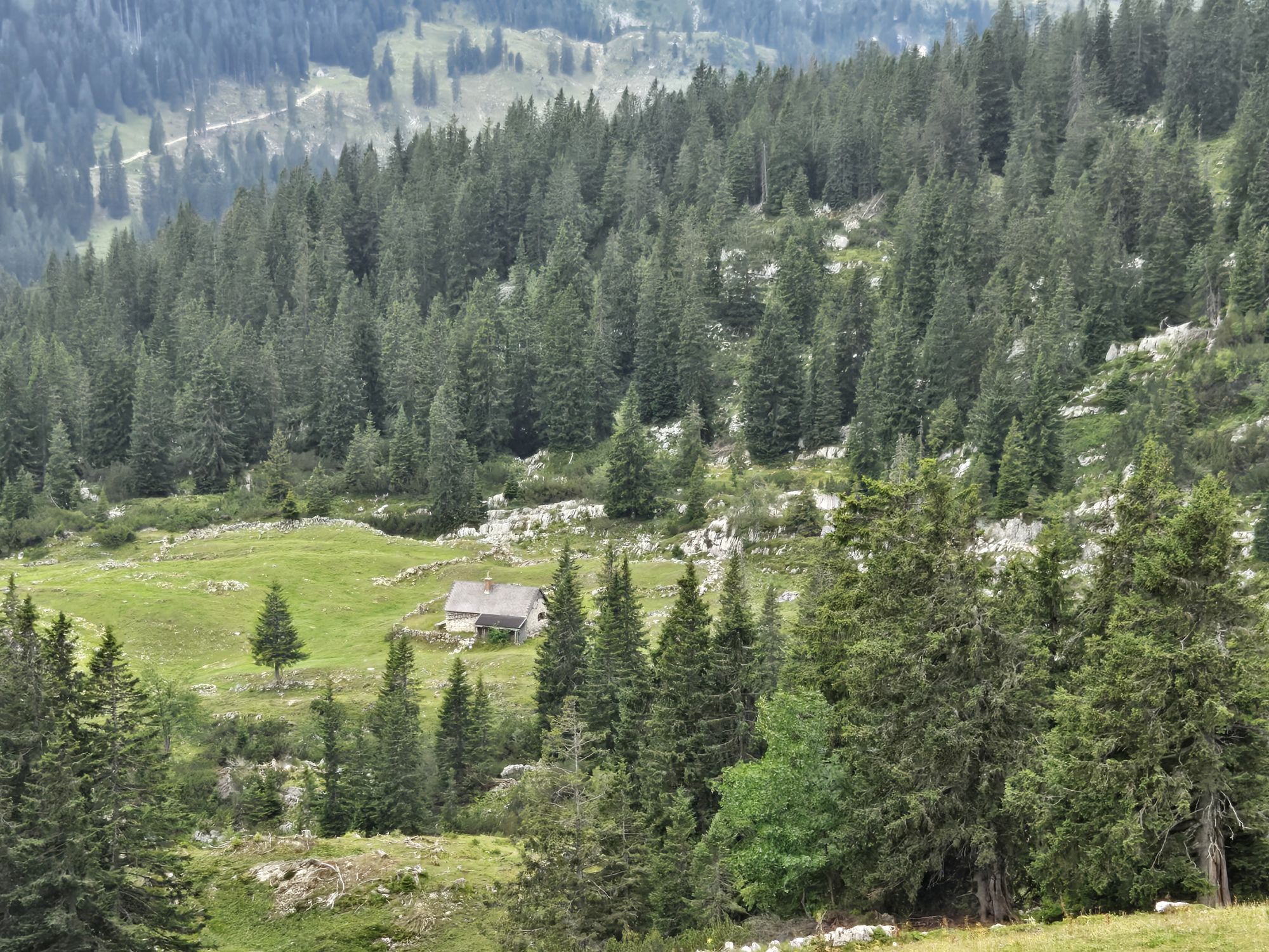
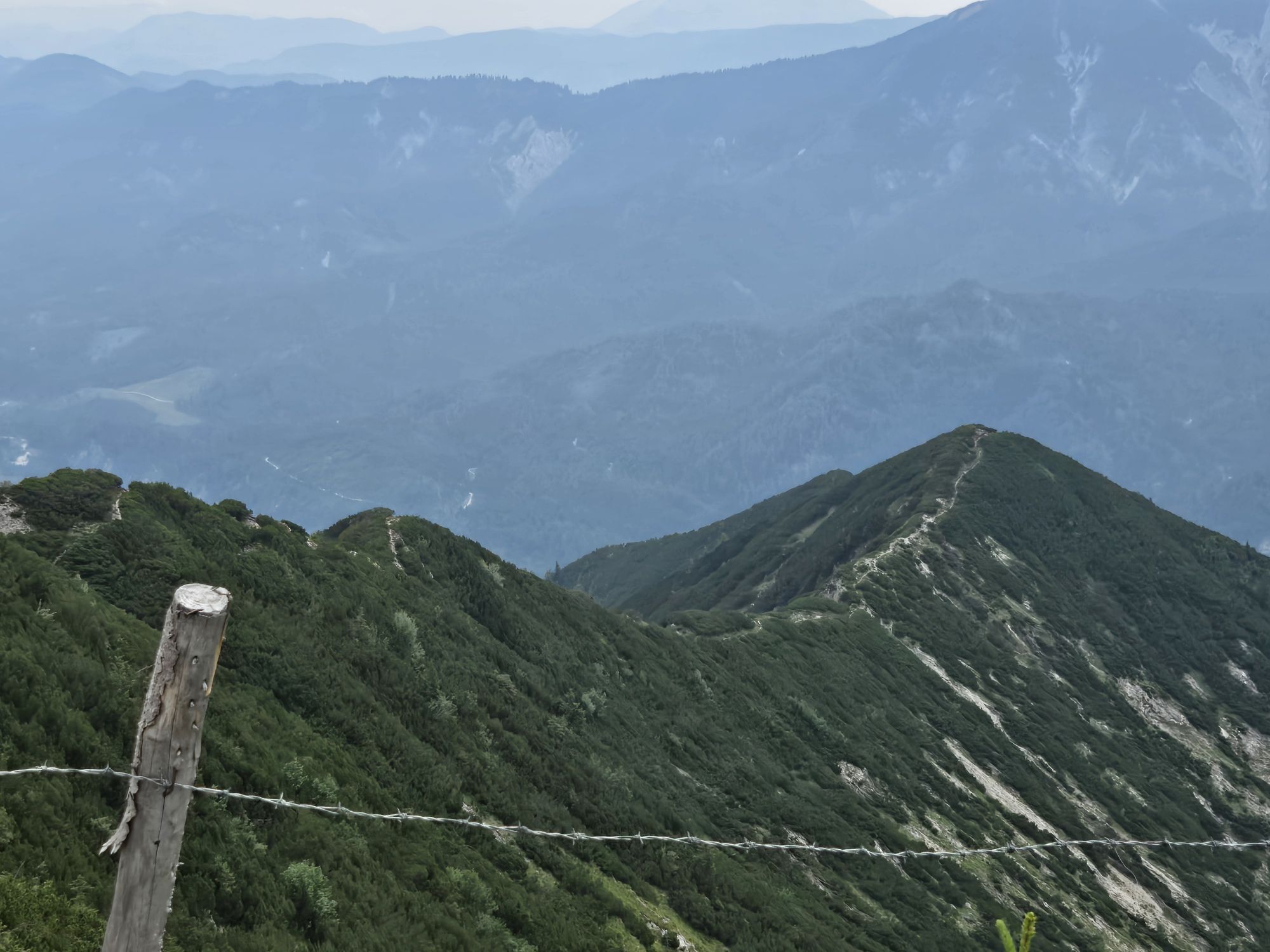
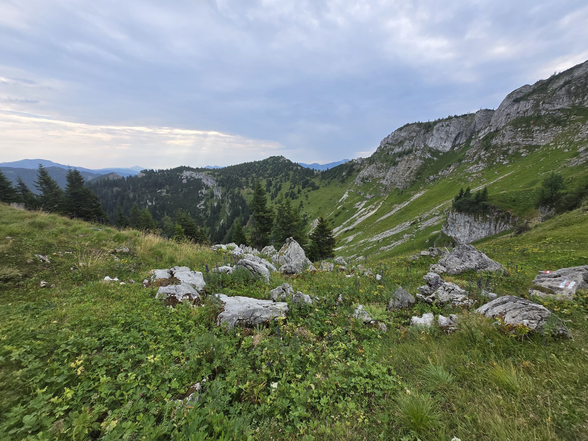
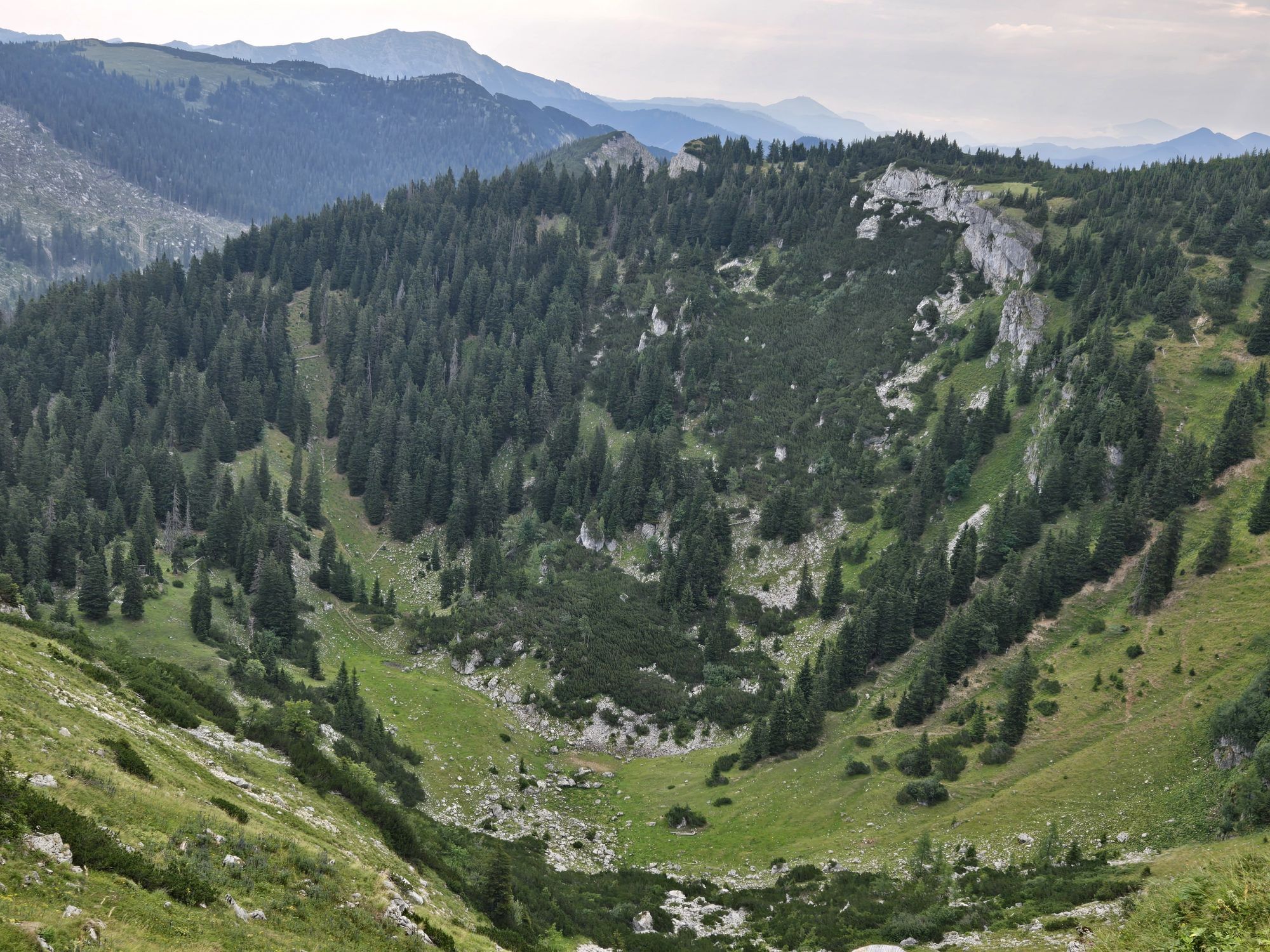
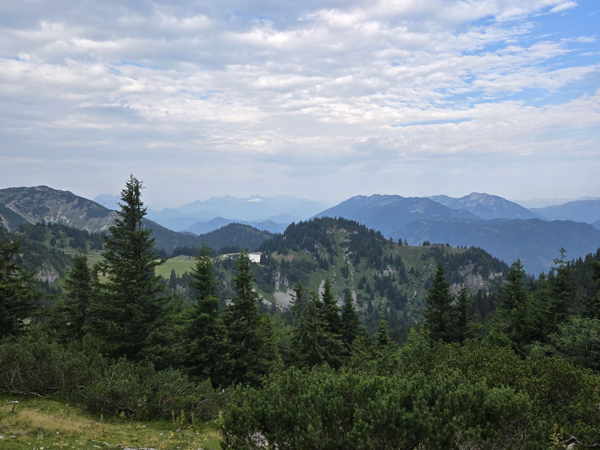
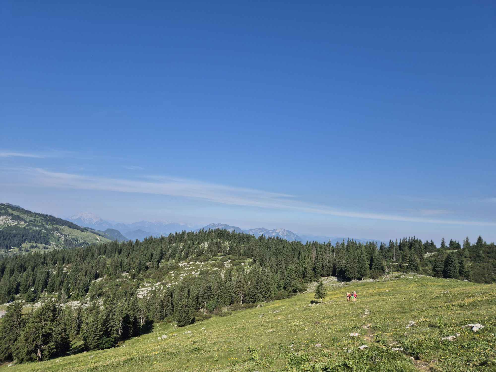
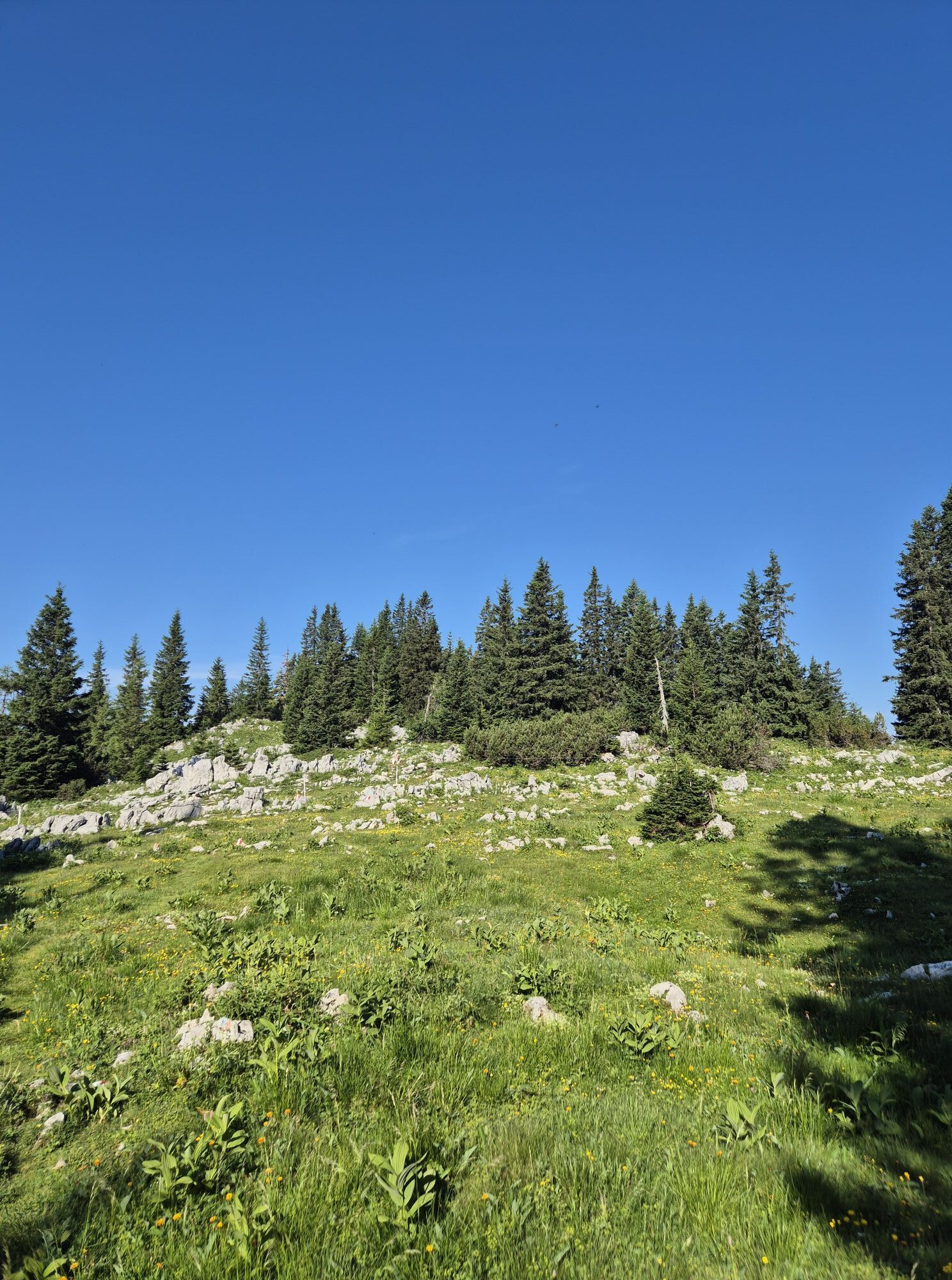
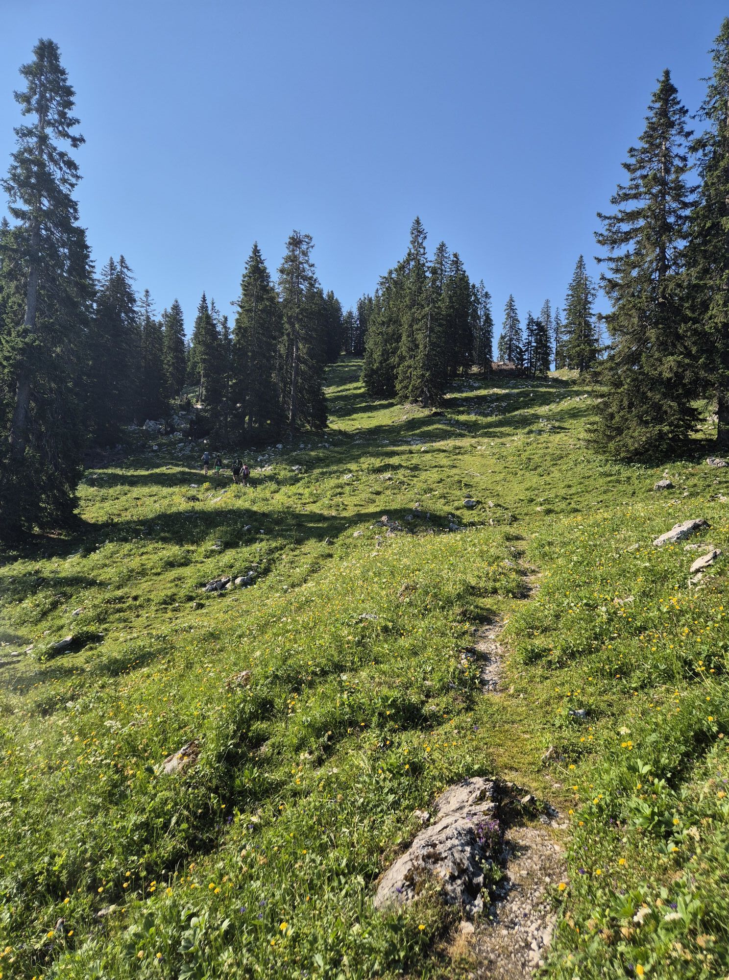
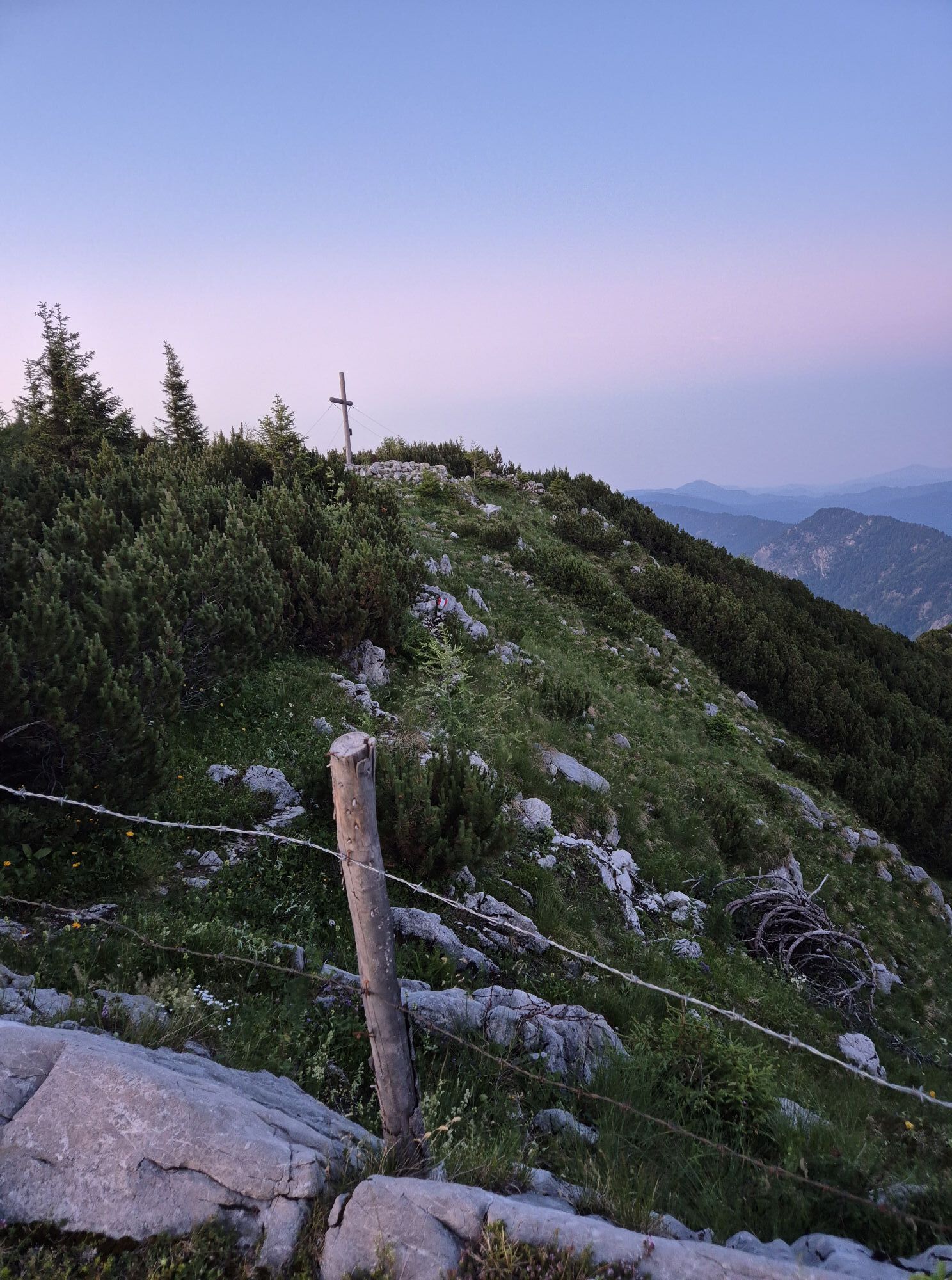
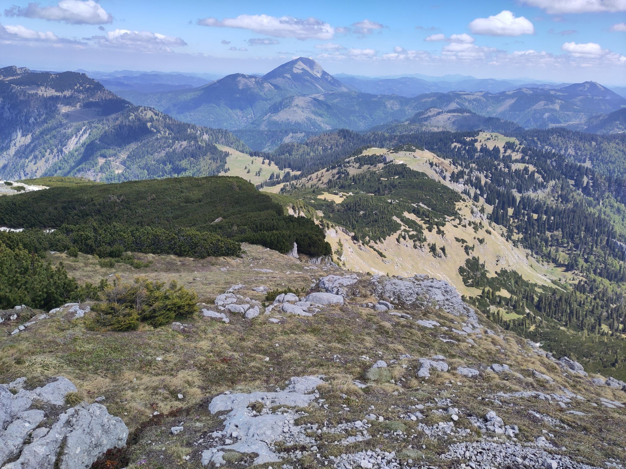
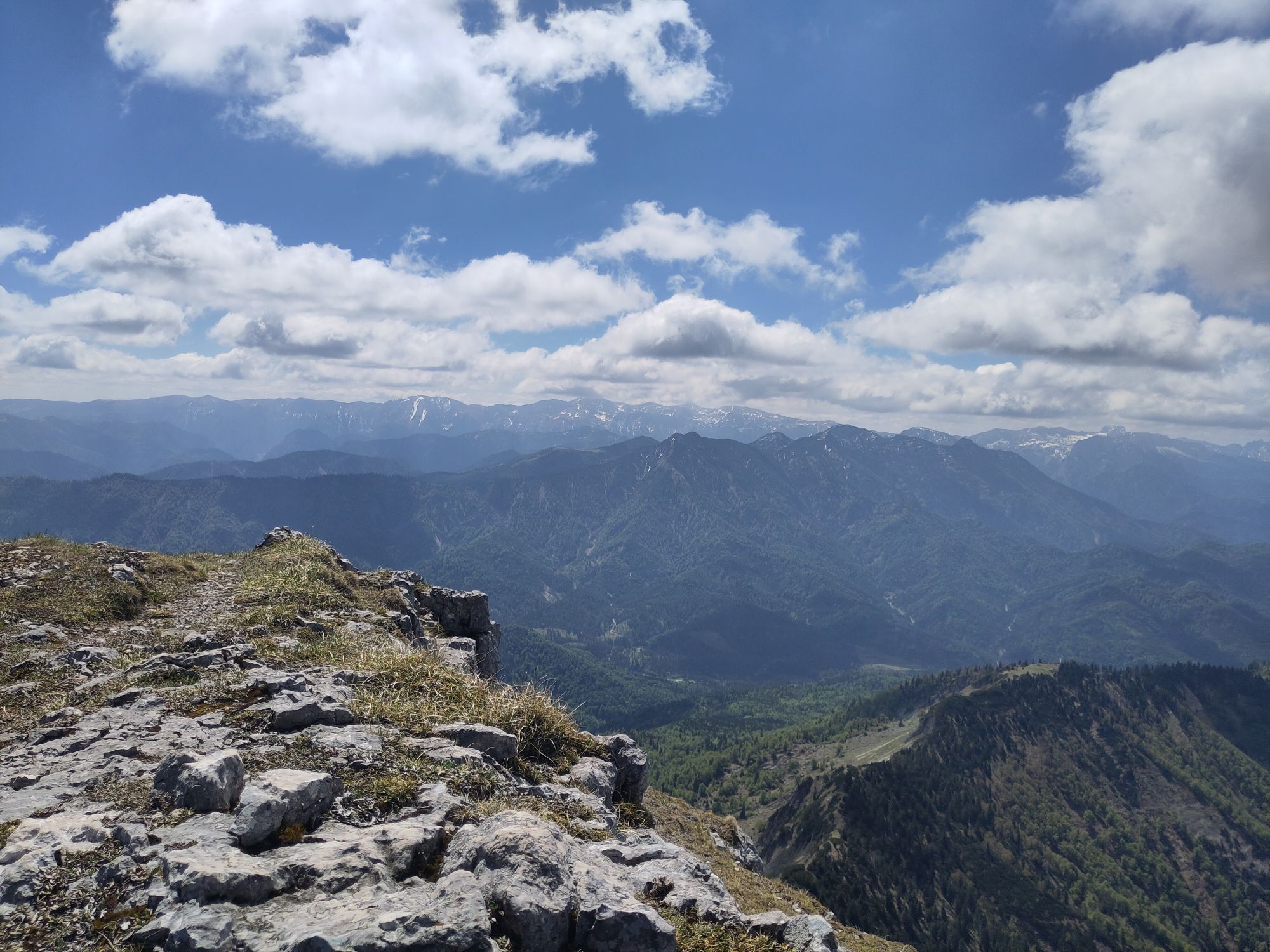
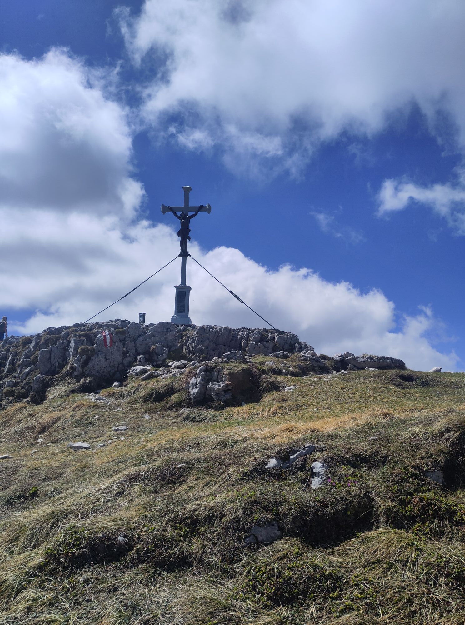
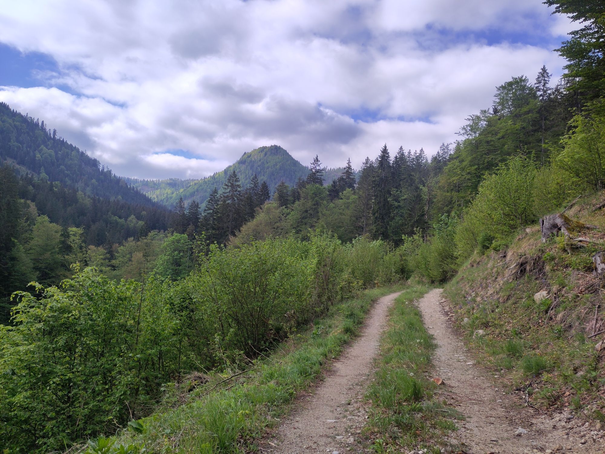
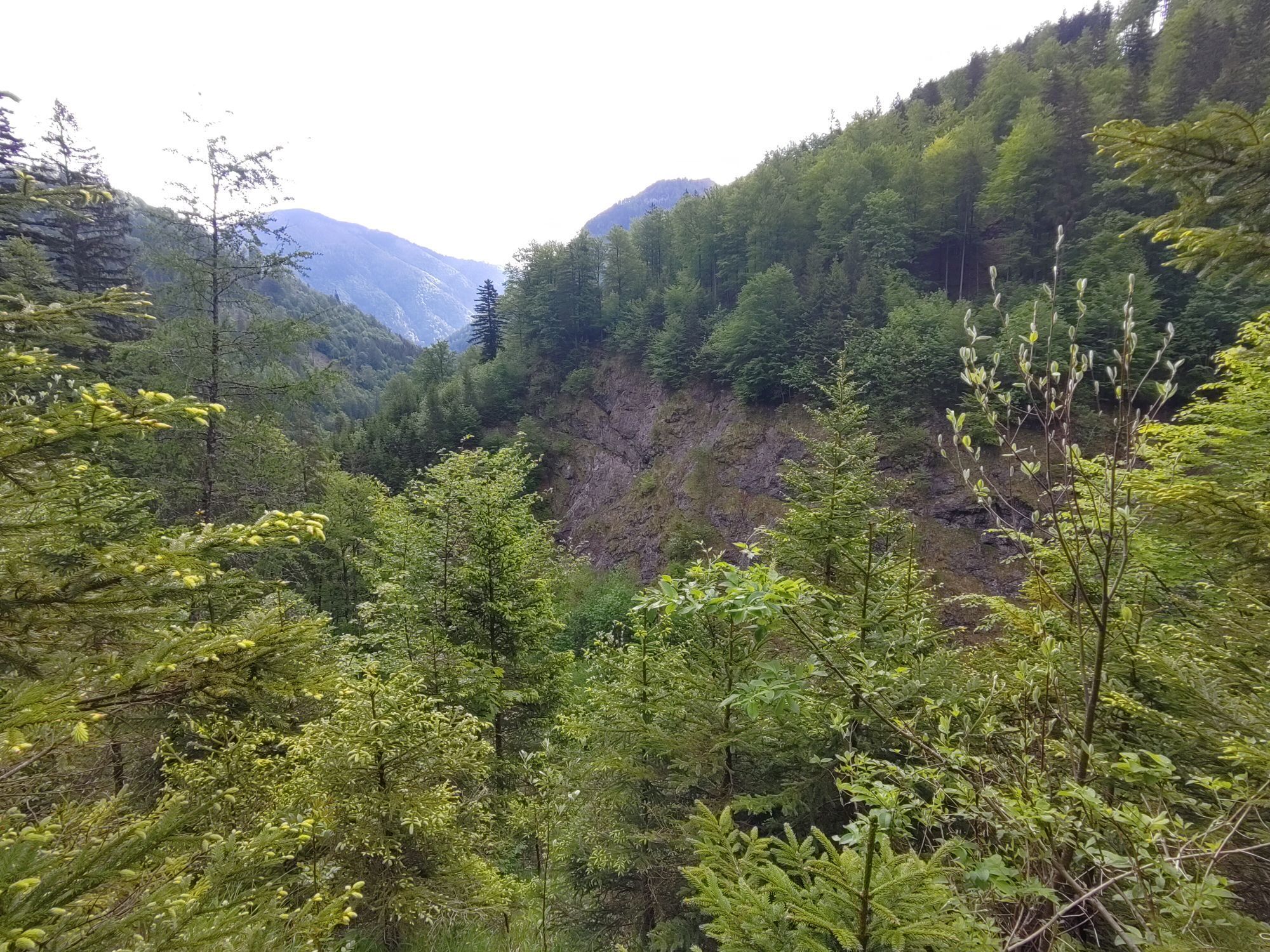
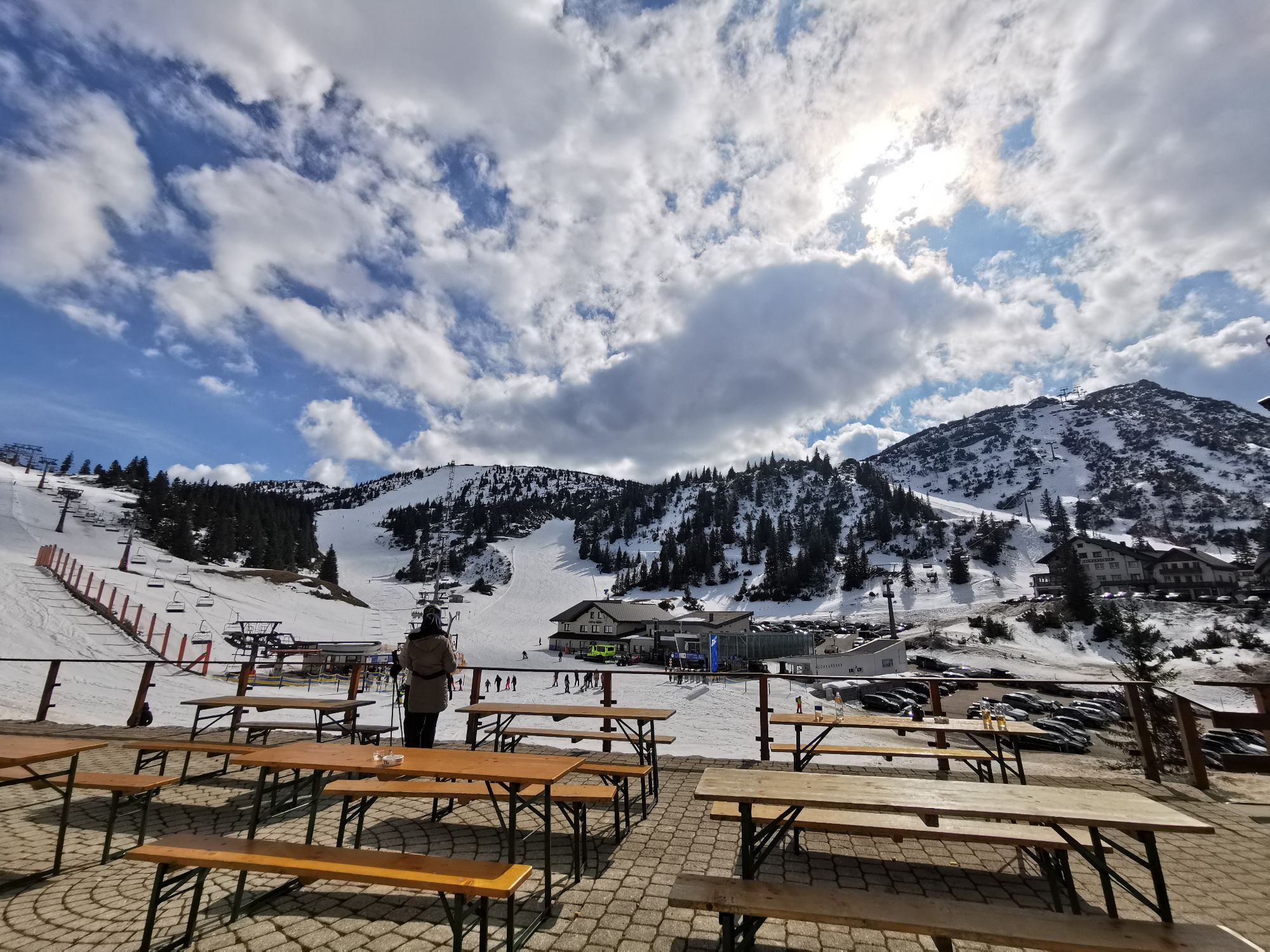
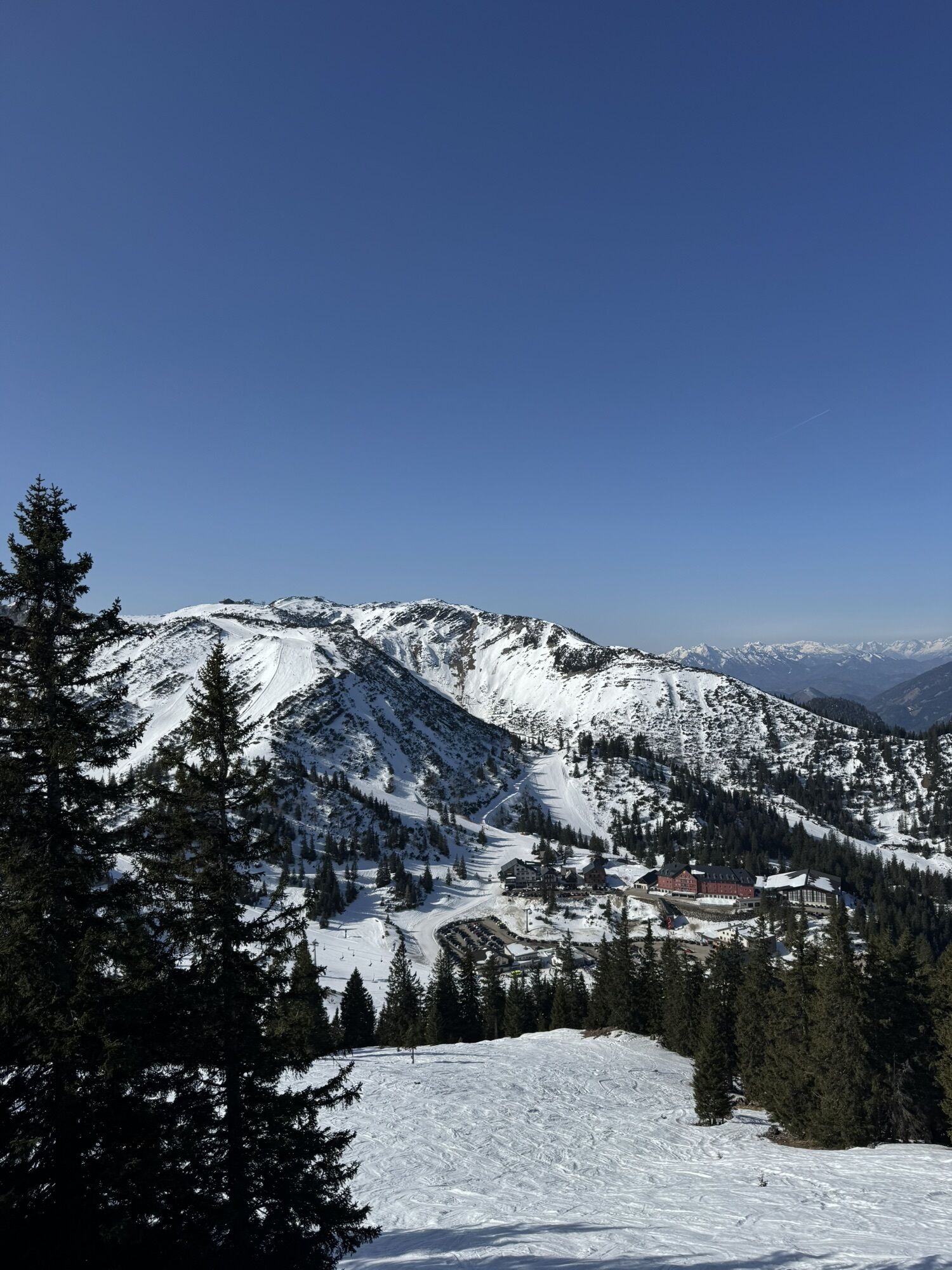
From Lackenhof, the trail leads over the Riffelsattel into Langau. Via the Herrenalm (temporarily closed), the trail leads up to the mighty Dürrenstein, the highest point of the route. Following the ridge, you cross Sonnstein, Hochkirch, Gamskogel and Schwarzkogel and reach the "Göstling-Hochkar" trail running area at Ringkogel. From here, the route leads via the Schwarzalmhütte to the Hochkar.

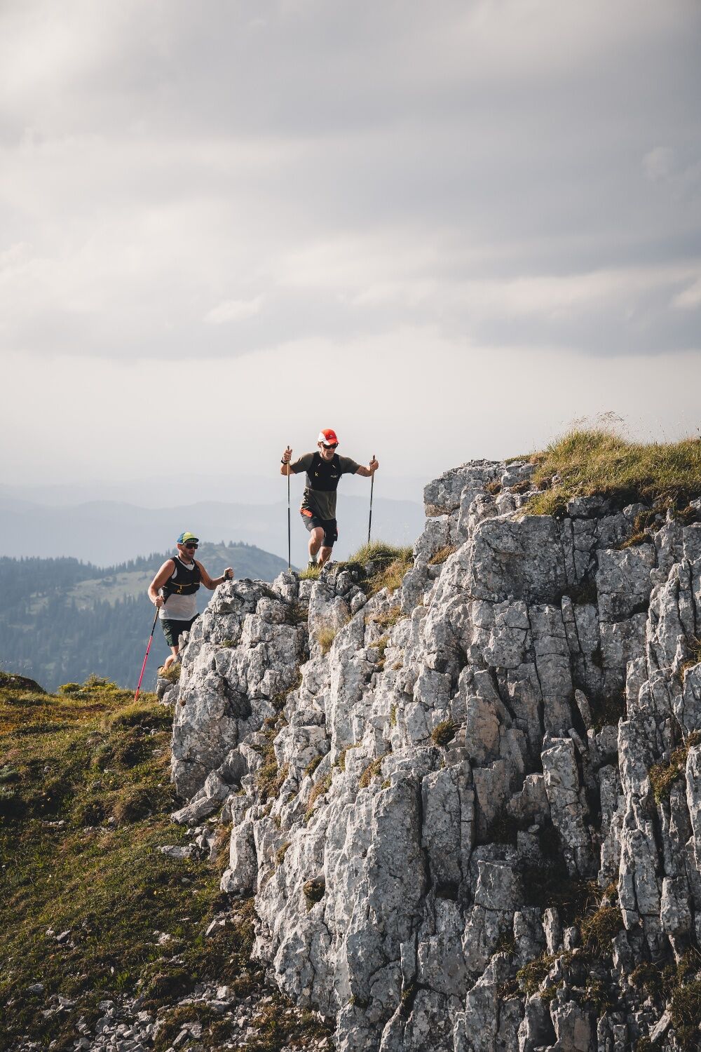
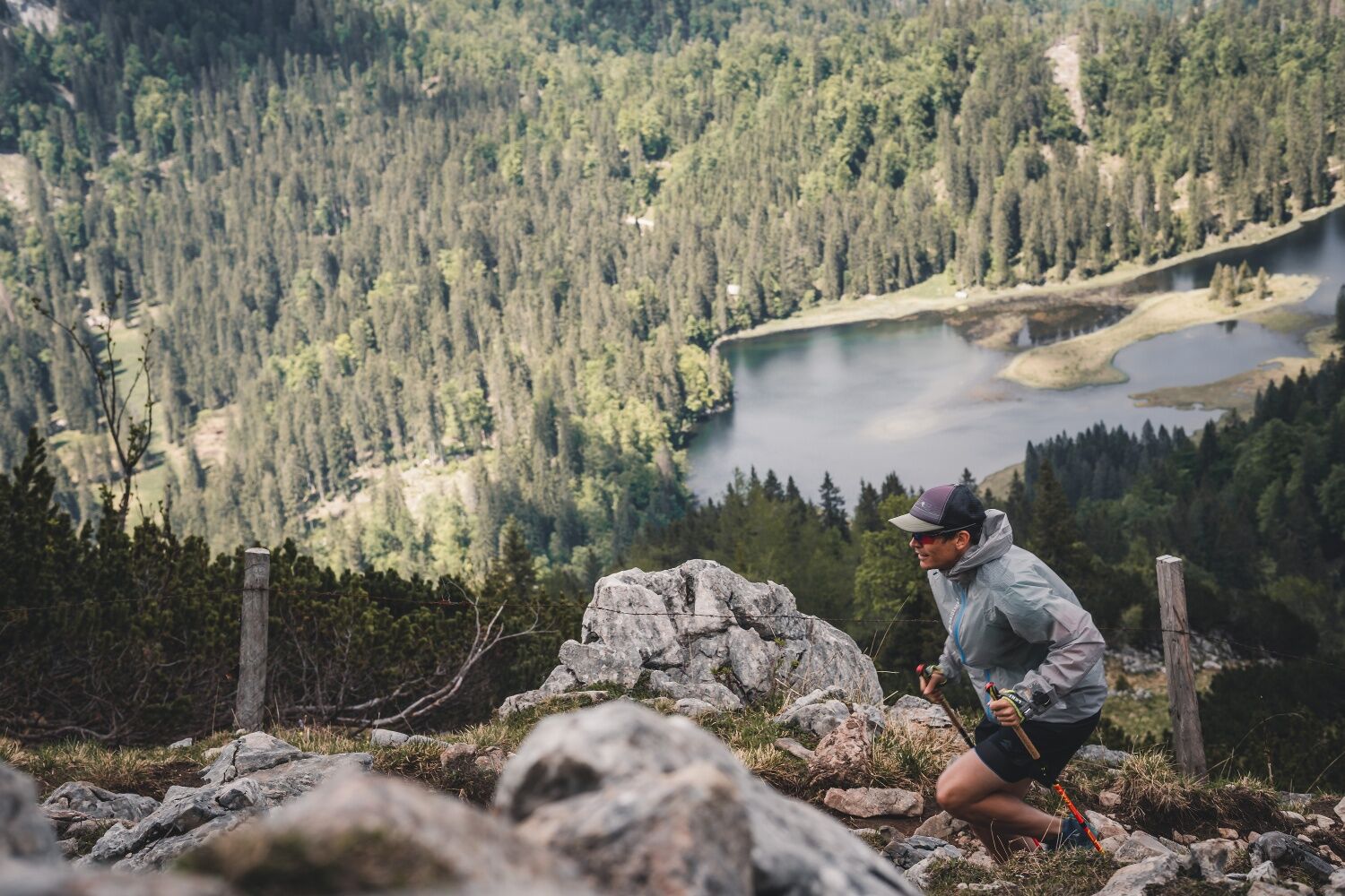

Trail running shoes, possibly poles. Trail running backpack with provisions and first aid kit, rescue blanket, mobile phone, rain and sun protection.
High alpine terrain!
1. Please avoid the trails during night and twilight hours (animal feeding times).
2. Behave quietly and attentively, avoid contact with grazing livestock.
3. Be considerate of flora and fauna and treat the people working here, nature and animals with respect.
4. Observe the general warning signs (e.g. restricted area signs). Fences must be respected and gates closed again.
5. Be cautious in extreme weather; seek shelter or turn back if necessary.
6. Please take your rubbish with you.
Tourism-IG Ybbstaler Alps
Göstling 46/2
3345 Göstling an der Ybbs
www.ybbstaler-alpen.at/trailrunning
43-5-93049
Alternatively as a 2-day route with a detour including an overnight stay at the Ybbstalerhütte (reservation absolutely required!)
Kamery internetowe z trasy
Uzyskaj wgląd
Zawsze na żywo z ponad 9 500 kamer internetowych. bergfex Jako użytkownik Pro, możesz teraz zobaczyć odpowiednie kamery internetowe dla wielu wycieczek w aplikacji wycieczki od. Pozwala to na bezpośredni podgląd aktualnych warunków.
Popularne wycieczki w okolicy
-
4,4
Das 3 Seen-Erlebnis (Lunzer See - Mittersee - Obersee)
średniWędrówka 9,33 km -
4,6
Hochkar - Schmalzmauer - Geißhöhe - Ringkogel - Schwarzalmhütte - Brunneckerhütte
średniWędrówka 13,2 km -
4,3
Rund um den smaragdgrünen Lunzer See
światłoWędrówka 4,80 km -
4,7
Gemeindealpe
średniWędrówka 13,5 km -
5,0
Von Lackenhof auf den Ötscher
światłoWędrówka 5,29 km -
4,9
Panoramic summit Maiszinken - alpine experience included
średniWędrówka 12,6 km -
4,9
Lackenhof ÖTSCHER Rauer Kamm 19.10.2014
ciężkiWędrówka 14,1 km -
4,7
Erlaufsee-Rundweg
światłoWędrówka 5,37 km -
4,5
Lechner Graben - Ybbstaler Hütte
średniWędrówka 14,2 km -
4,5
Gföhler Alm - Rainstock - Schleierfall
średniWędrówka 13,6 km
Wędrówki i tropienie


Nie przegap ofert i inspiracji na następne wakacje
Twój adres e-mail została dodana do listy mailingowej.





