


From Rauher Kamm down to the deepest gorges
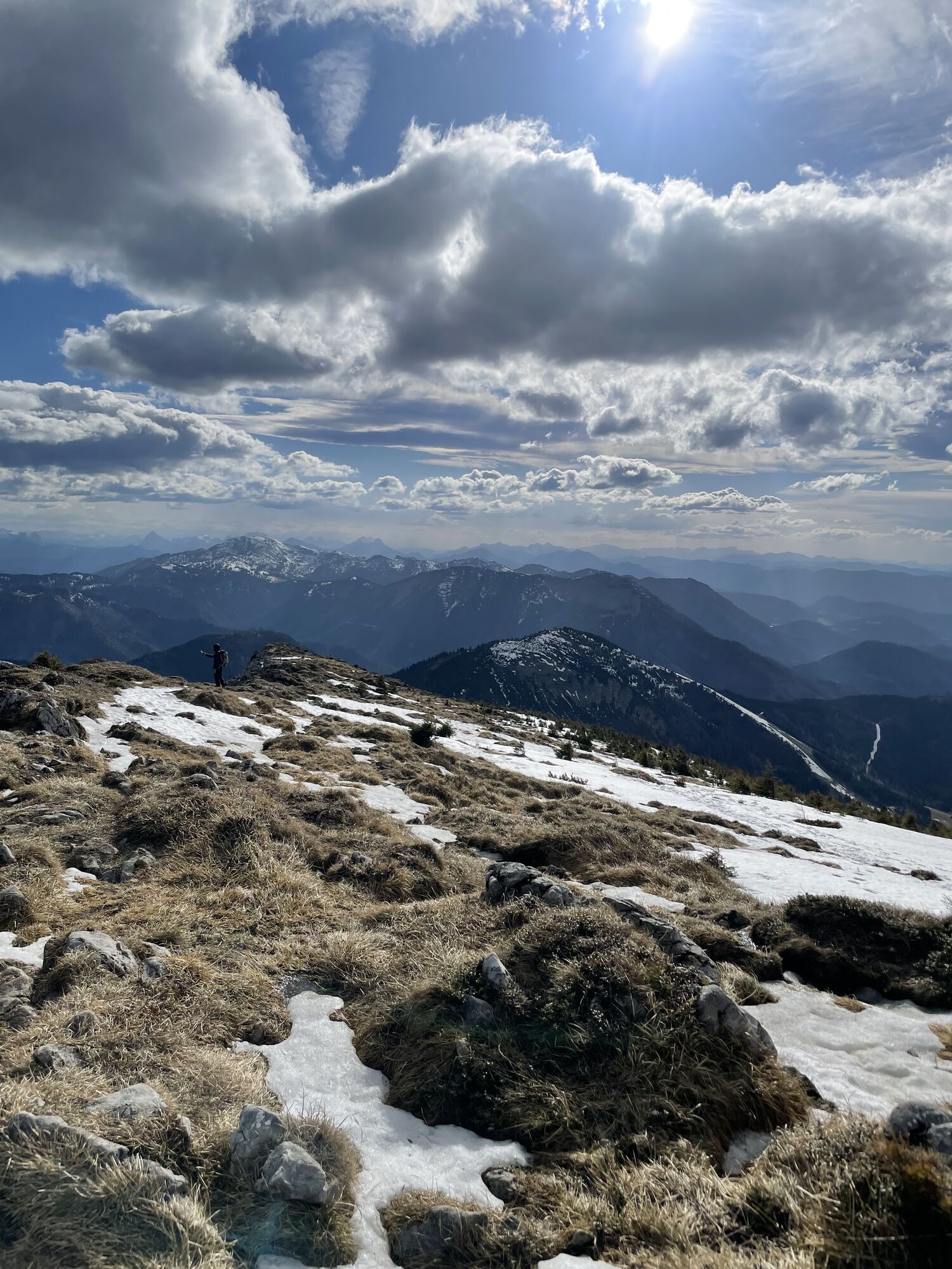
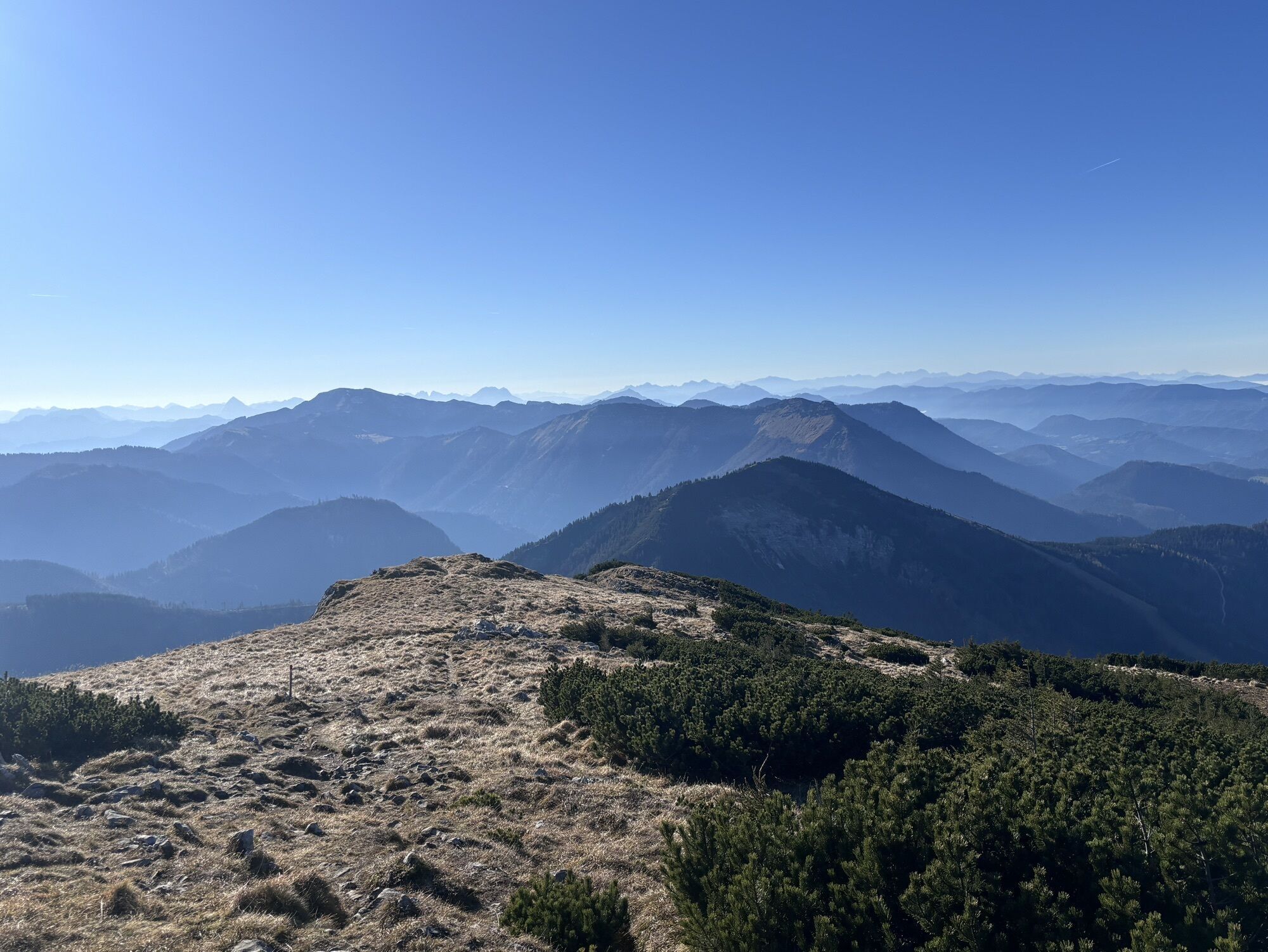
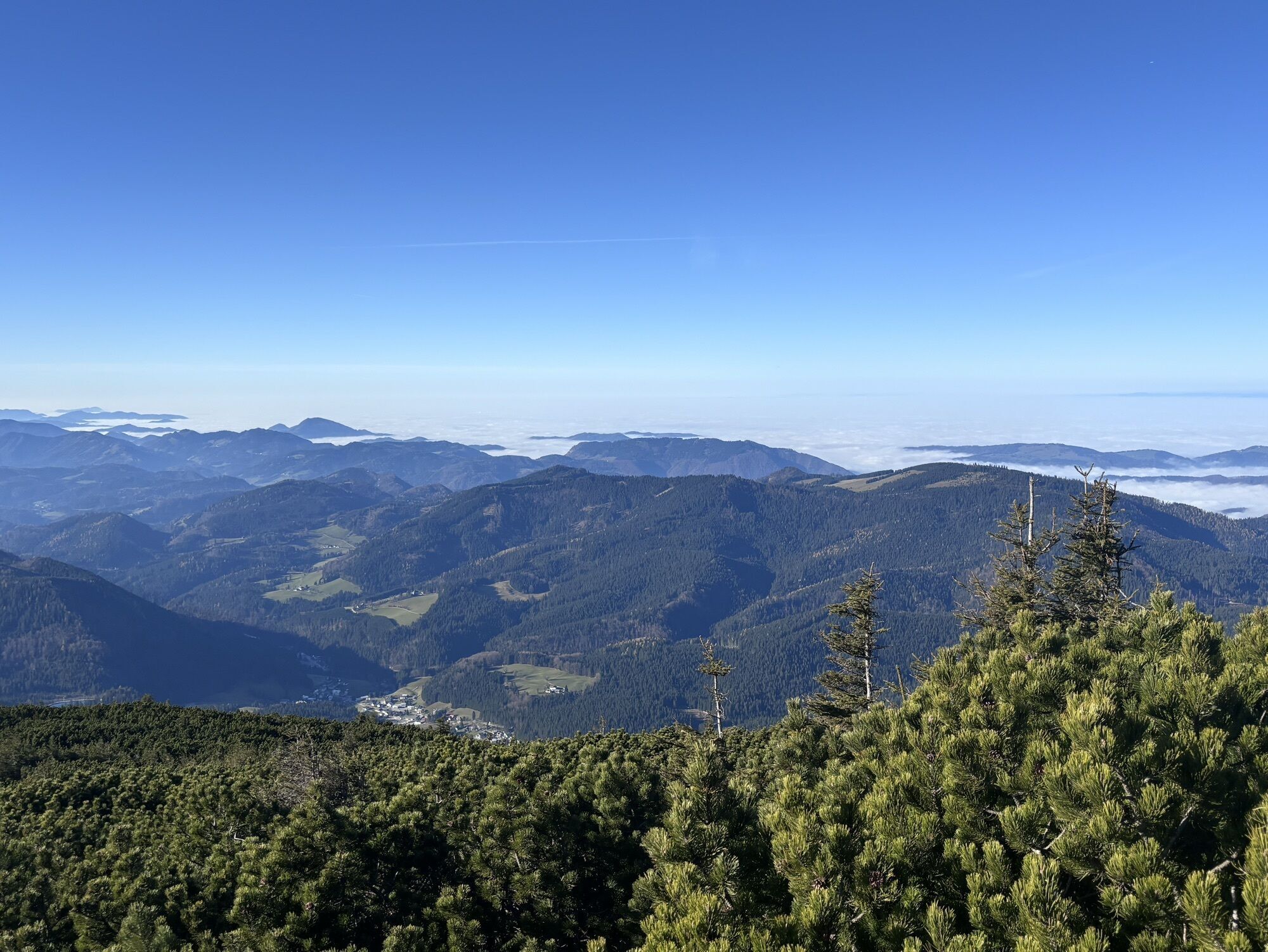
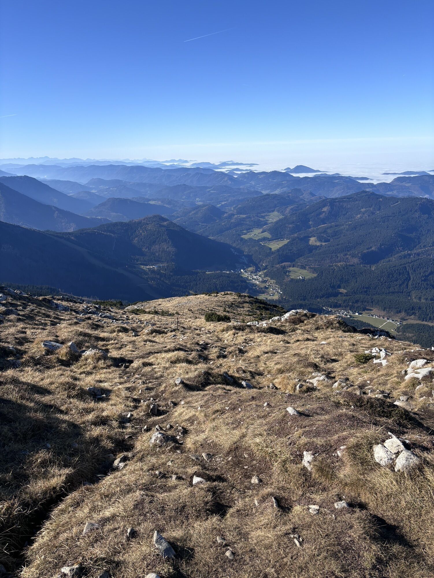
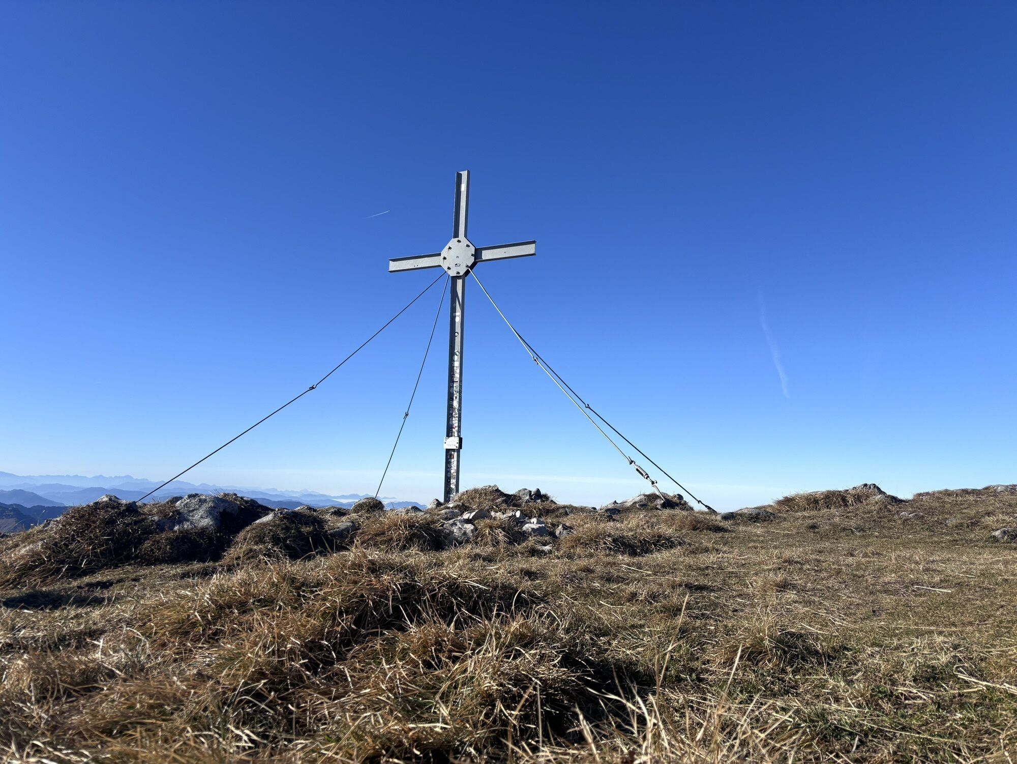
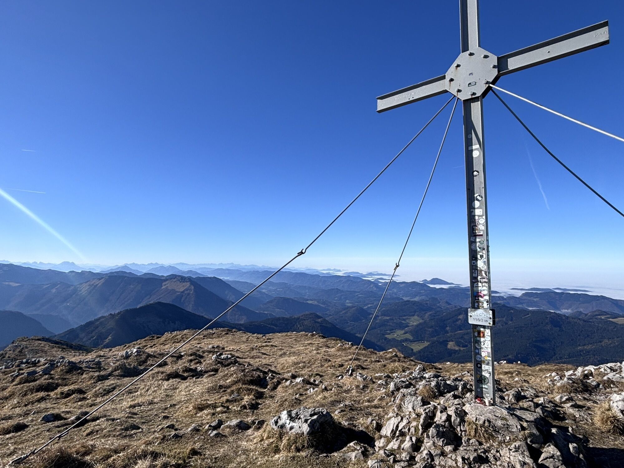
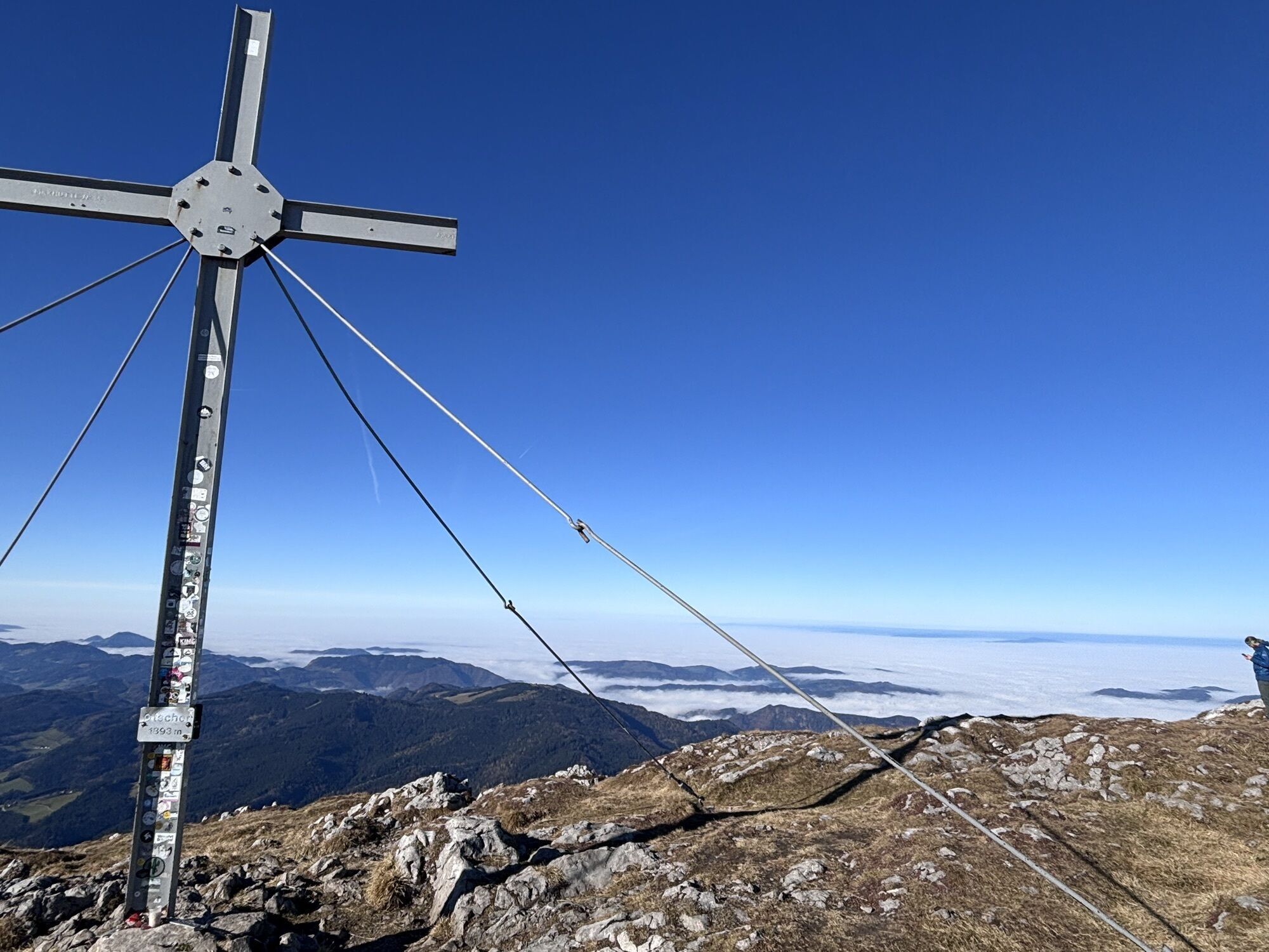
Considered the most beautiful, but also the most strenuous route up the Ötscher

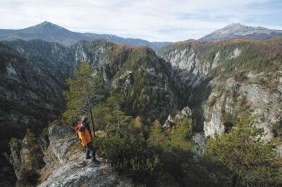
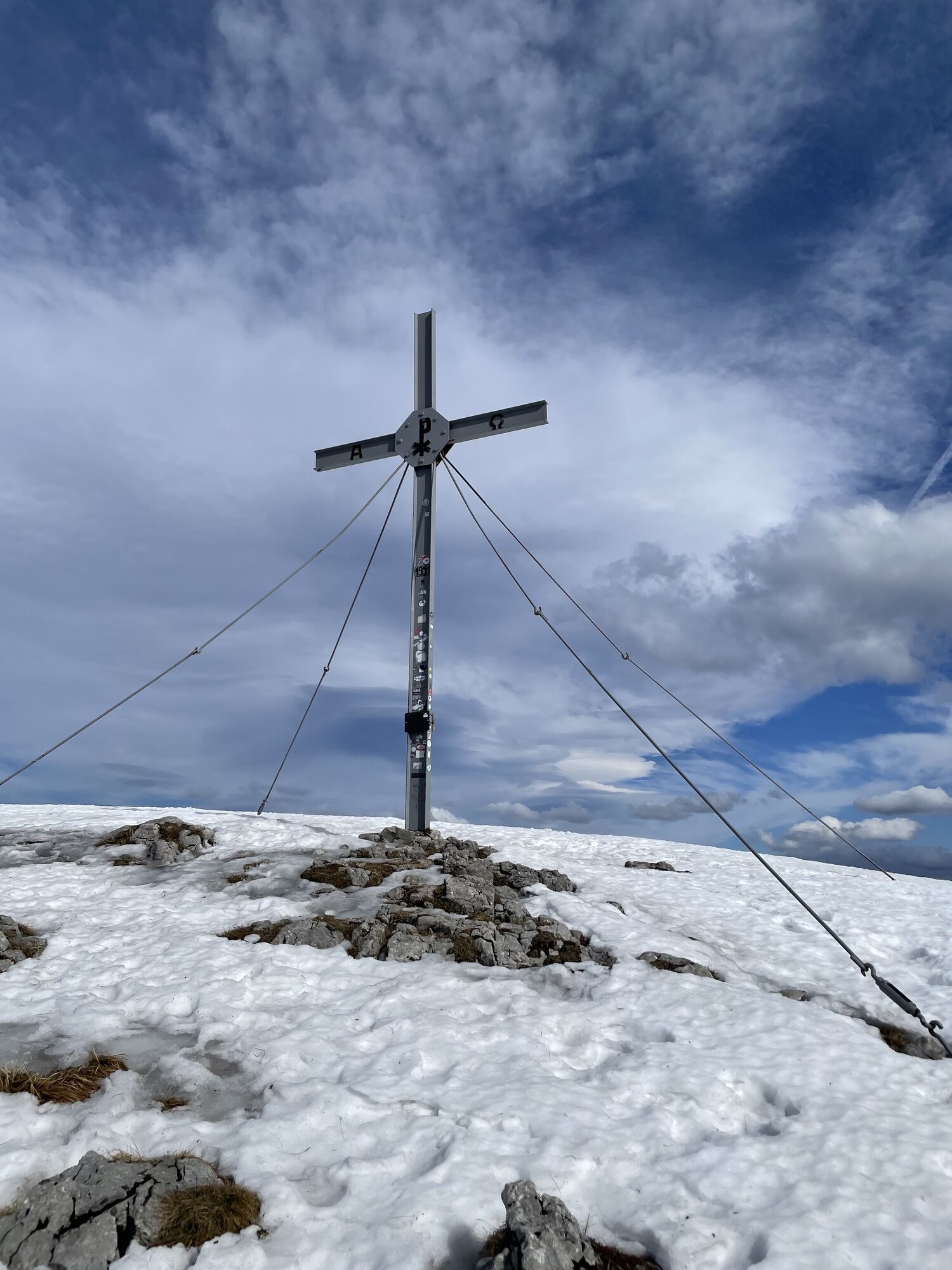
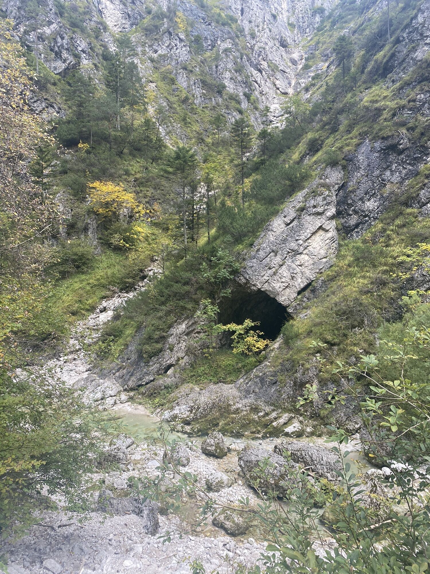
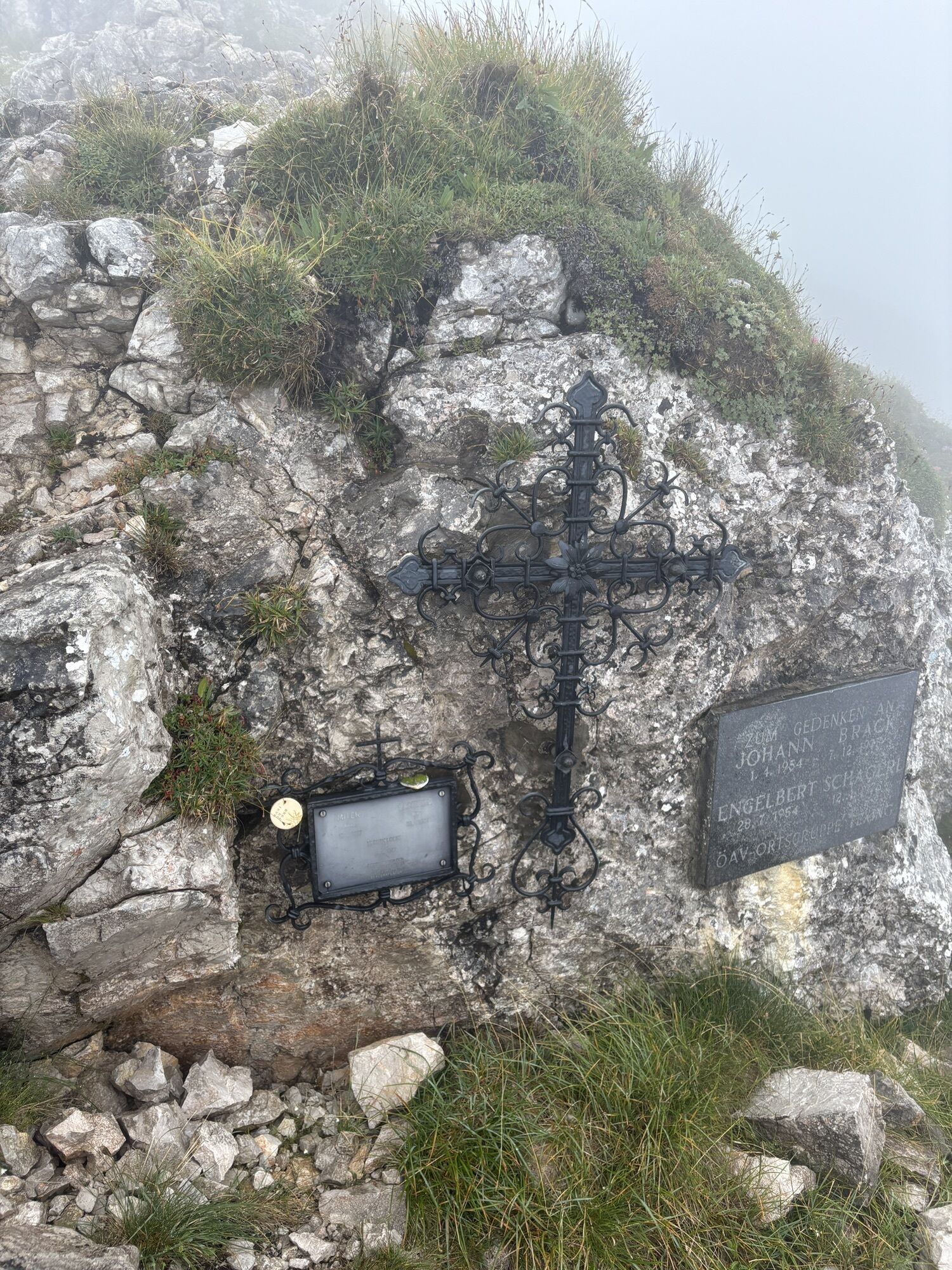
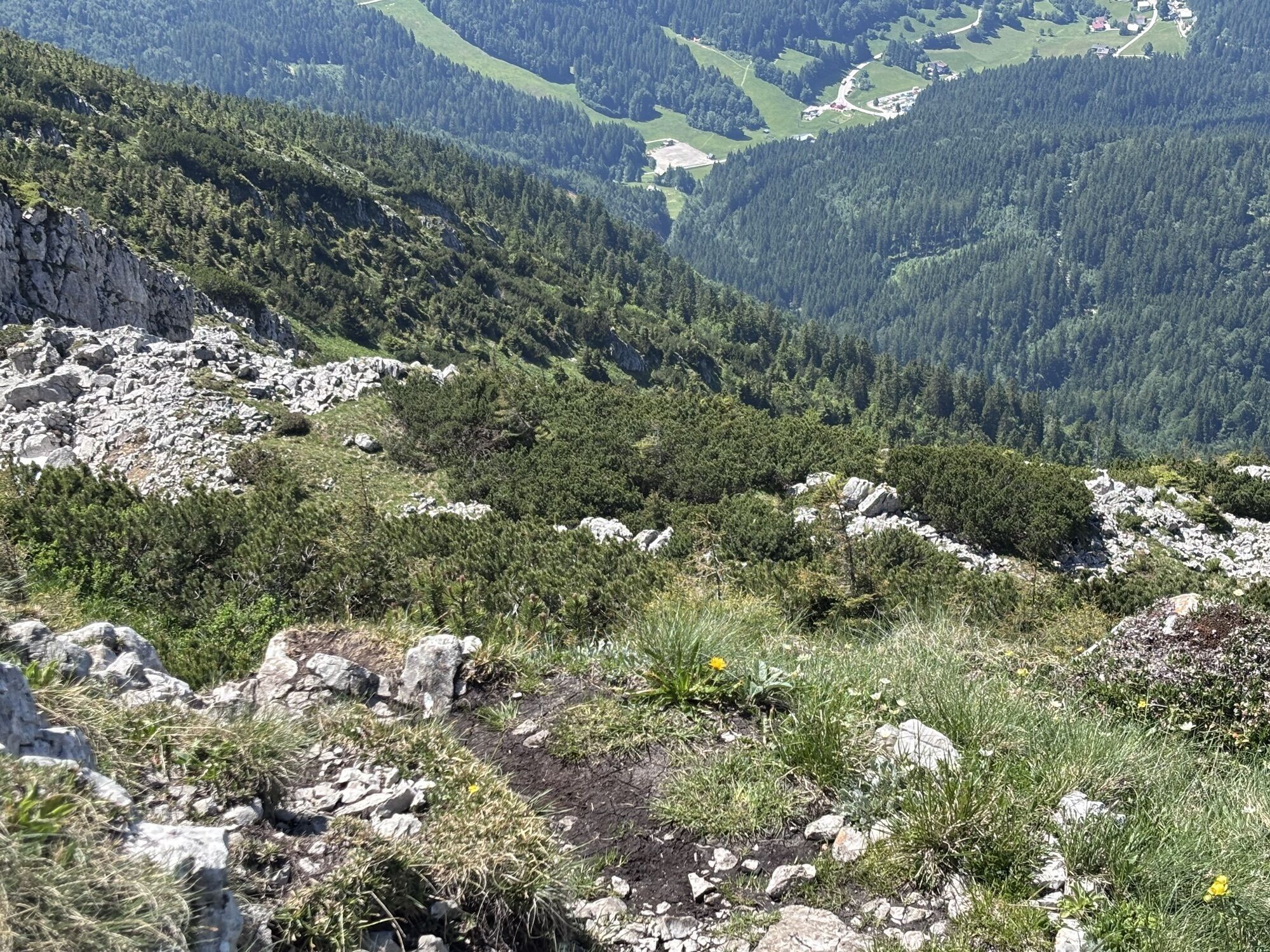
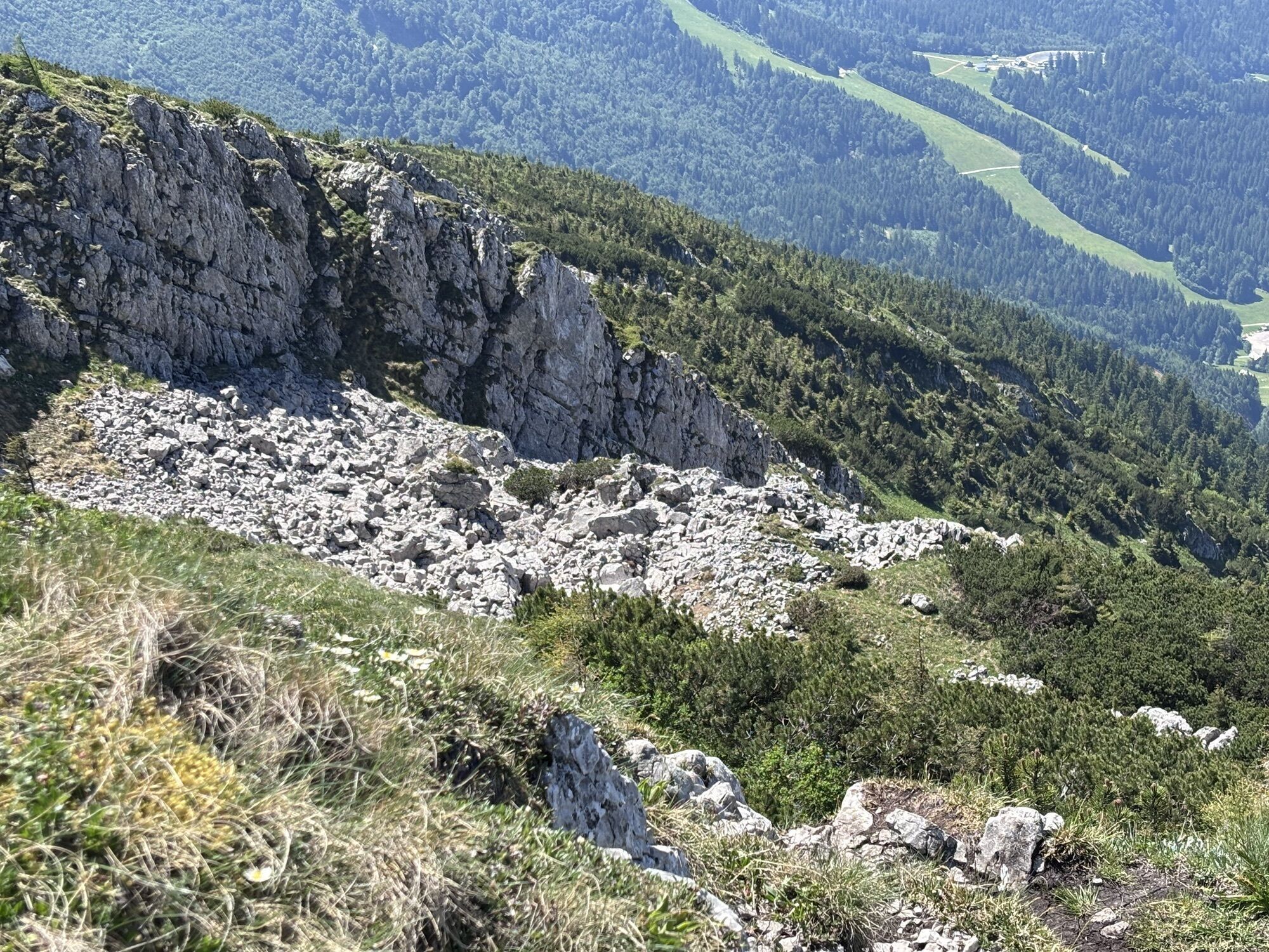
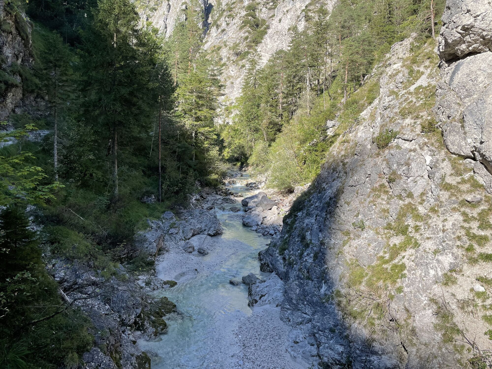
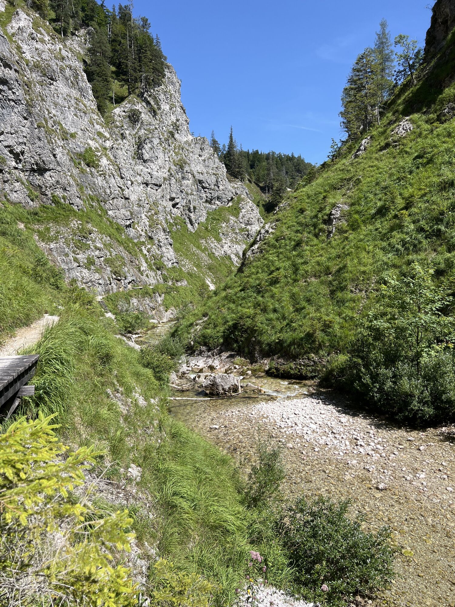
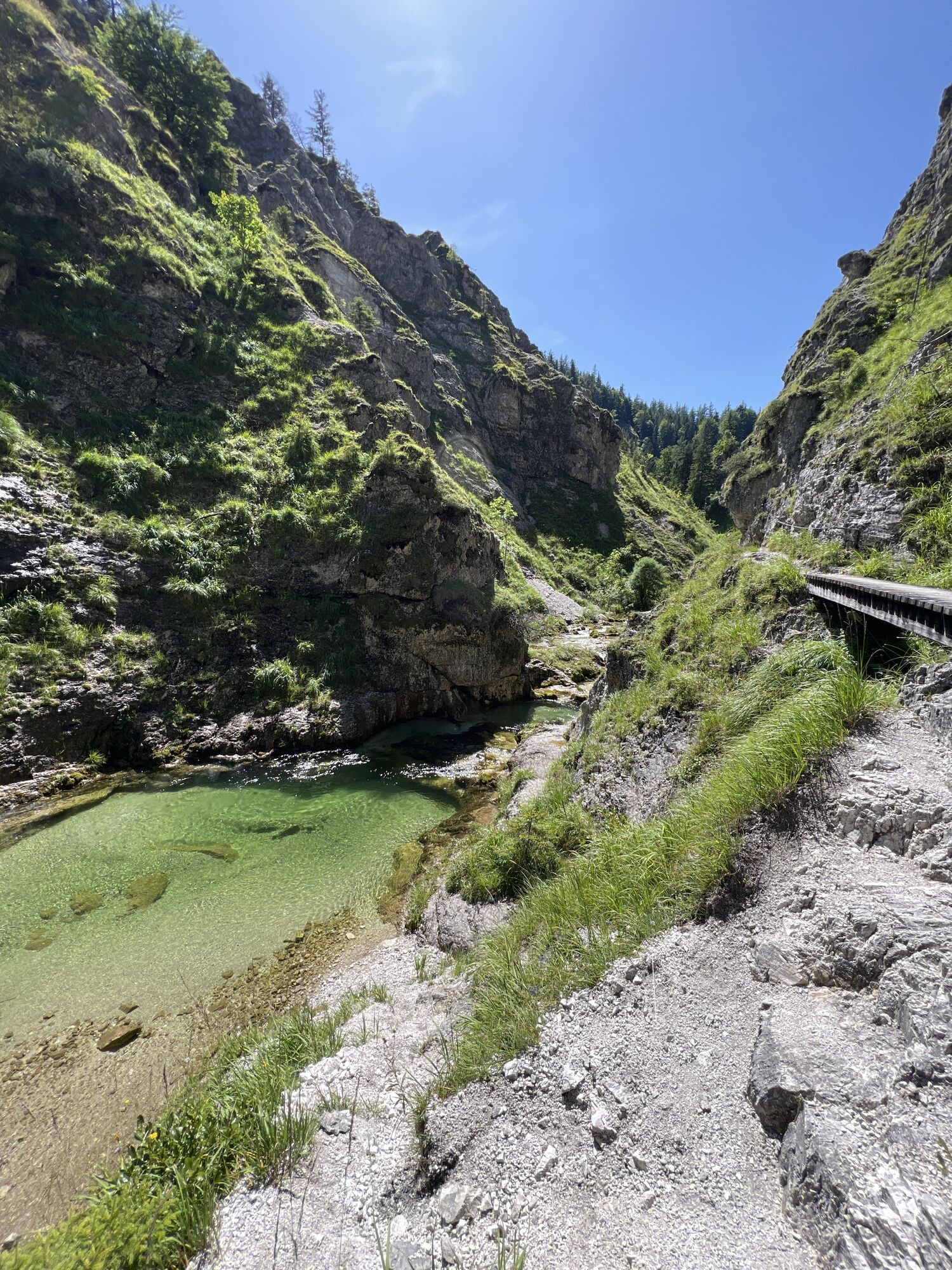
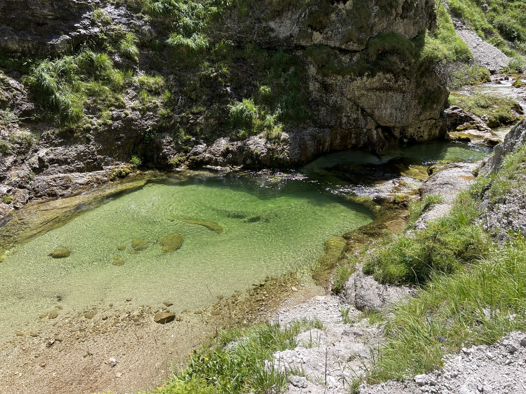
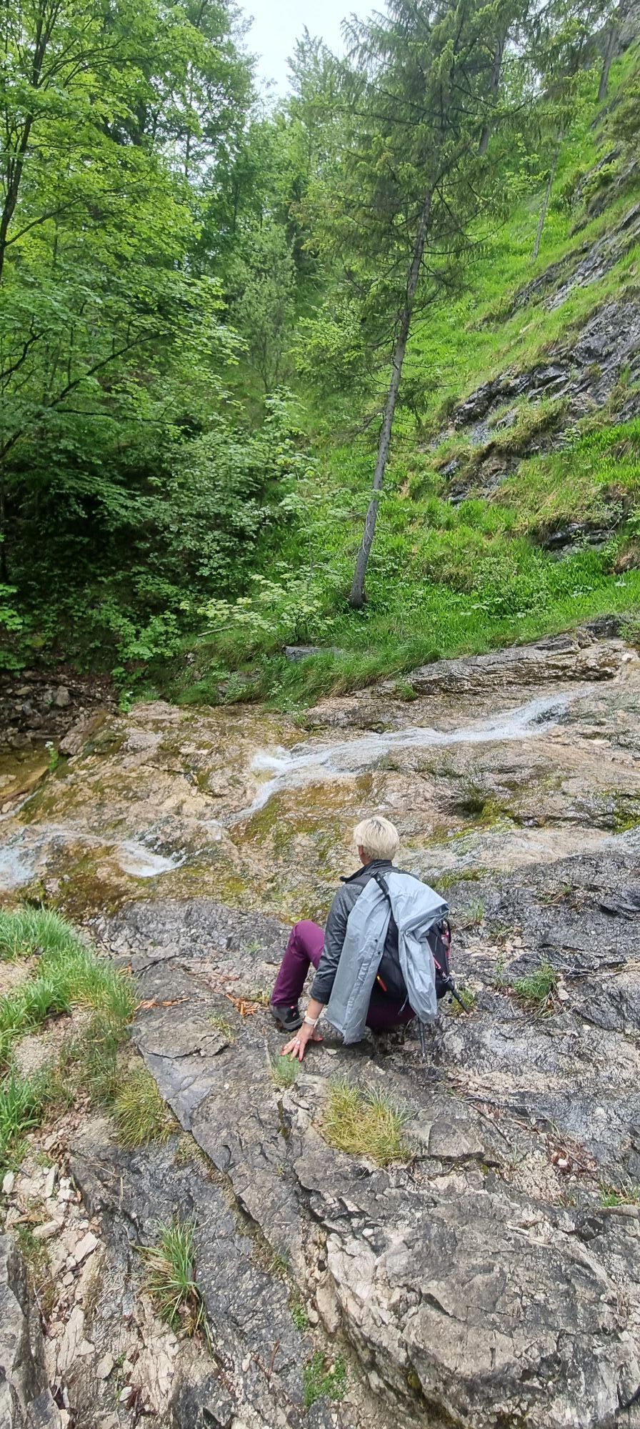
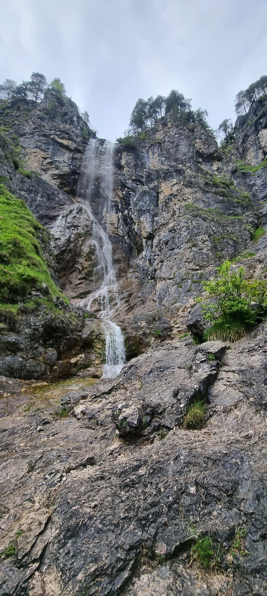
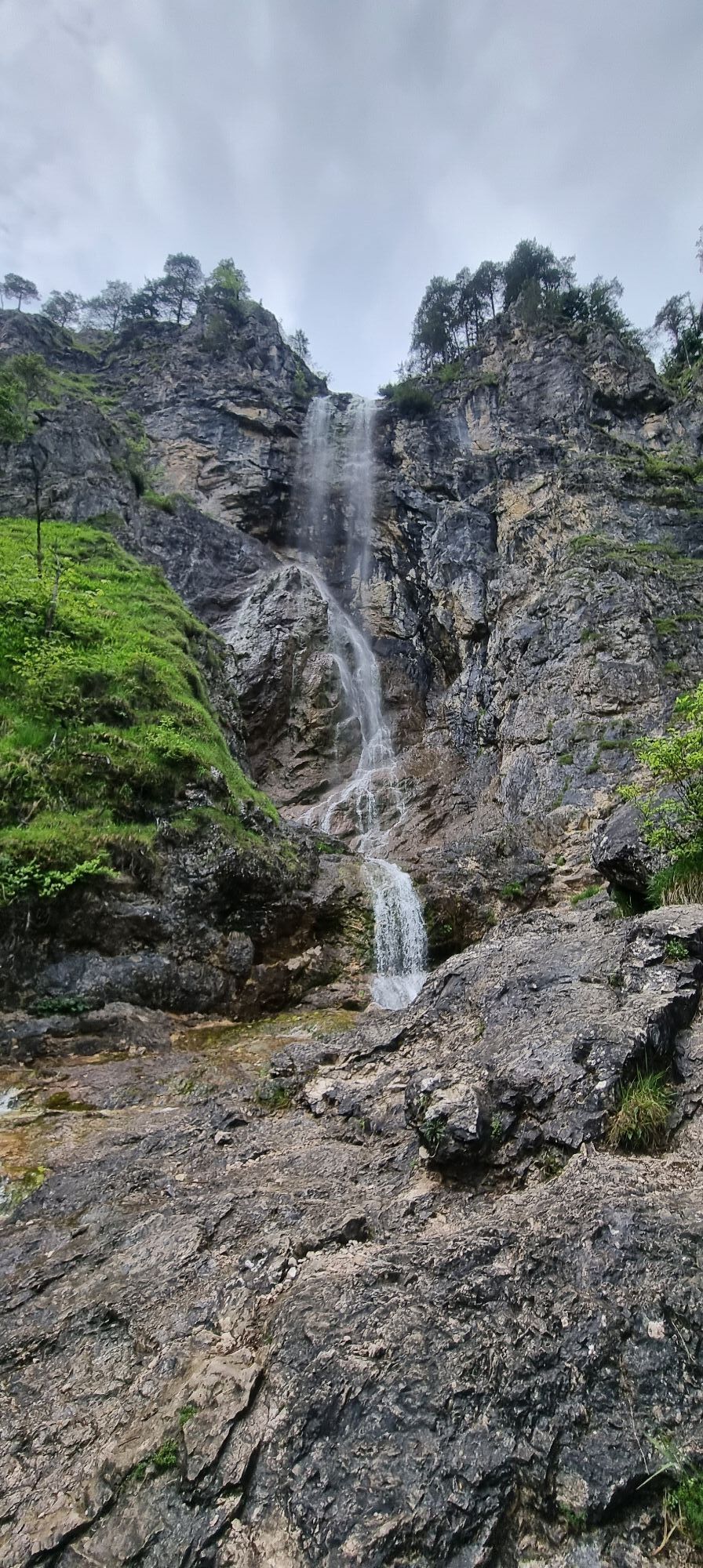
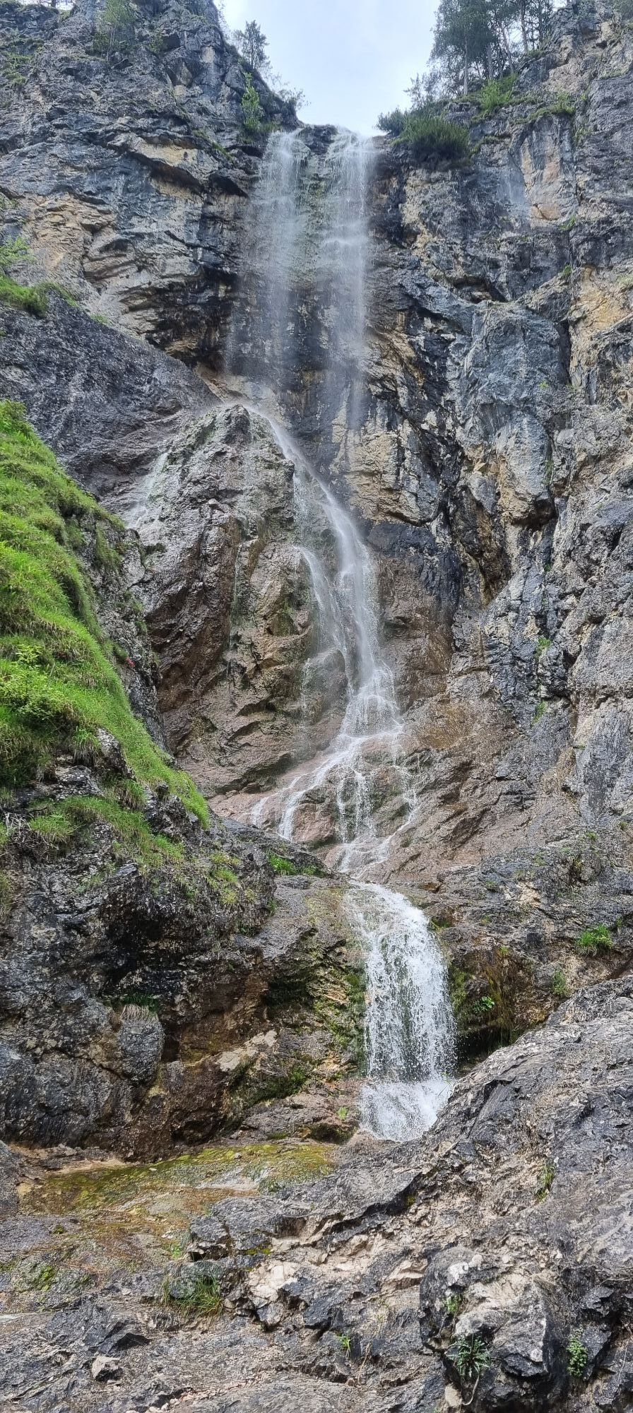
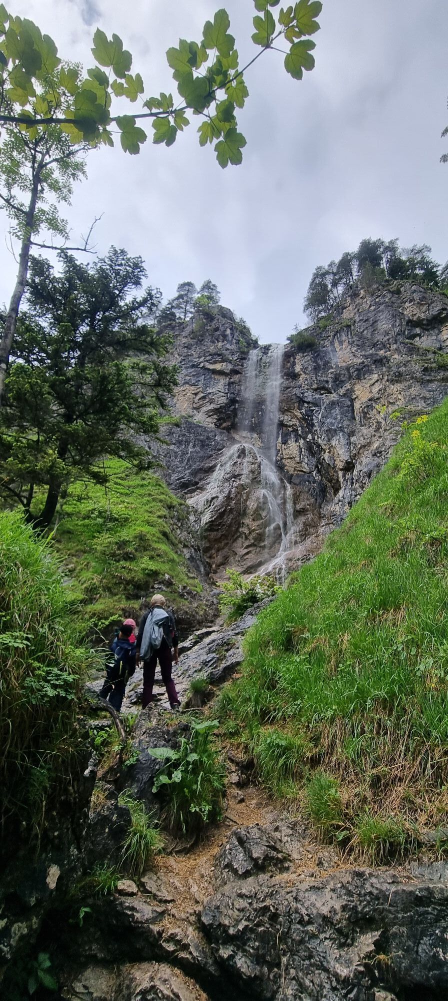
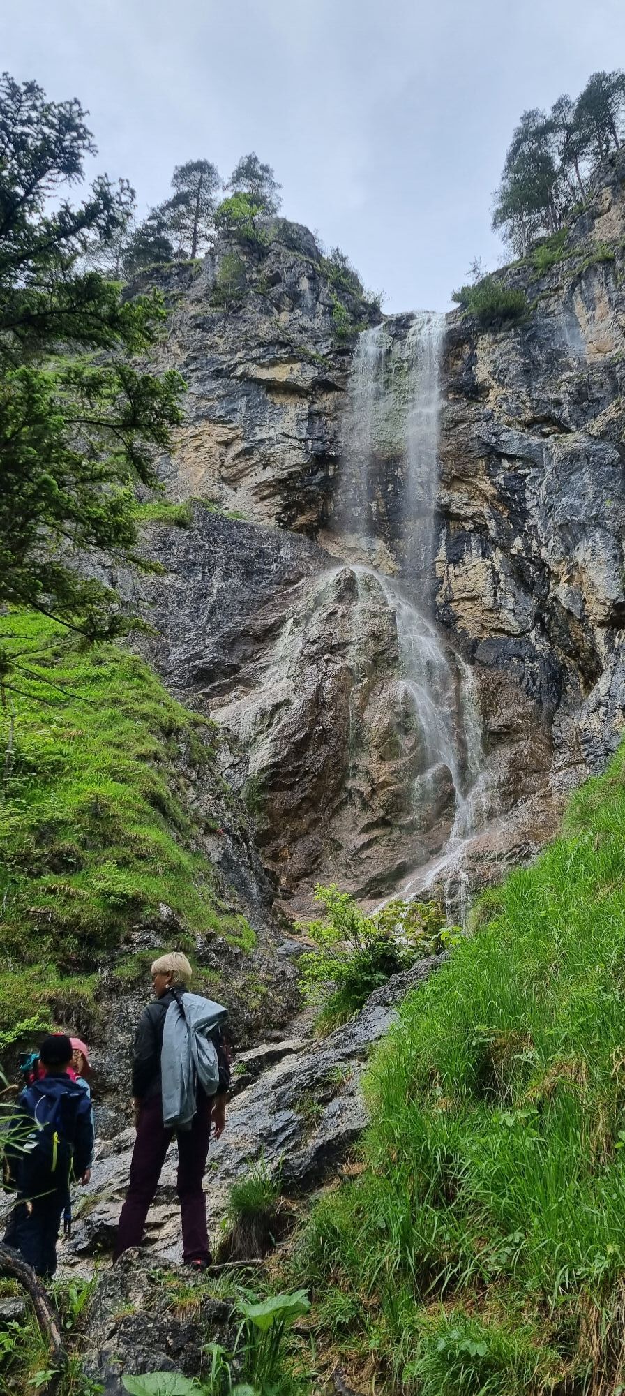
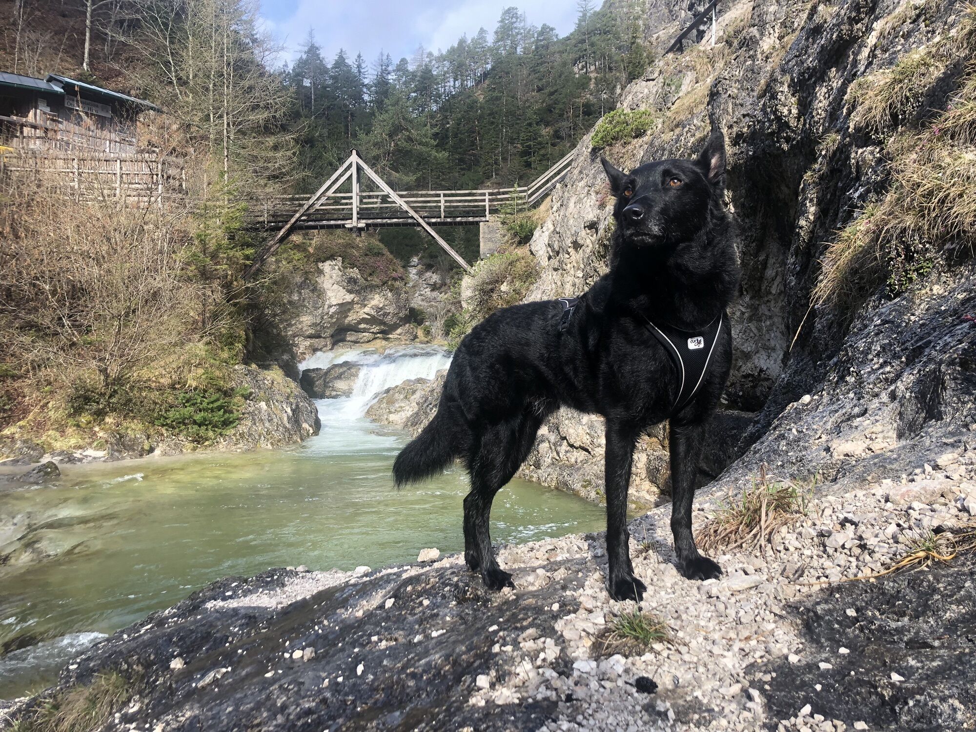
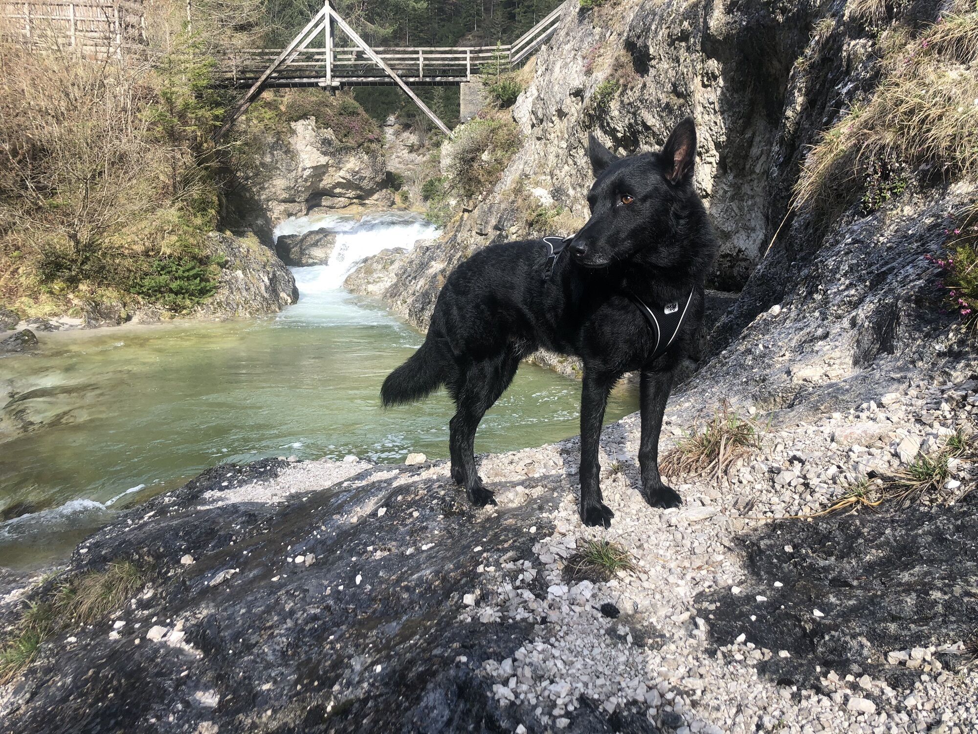
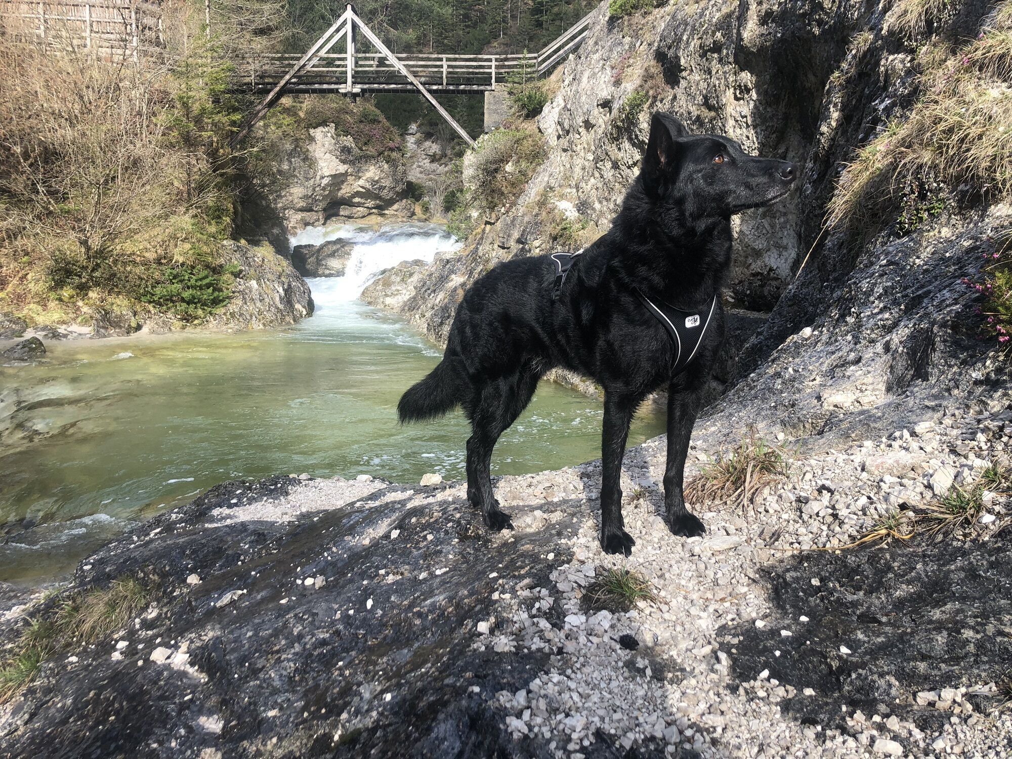
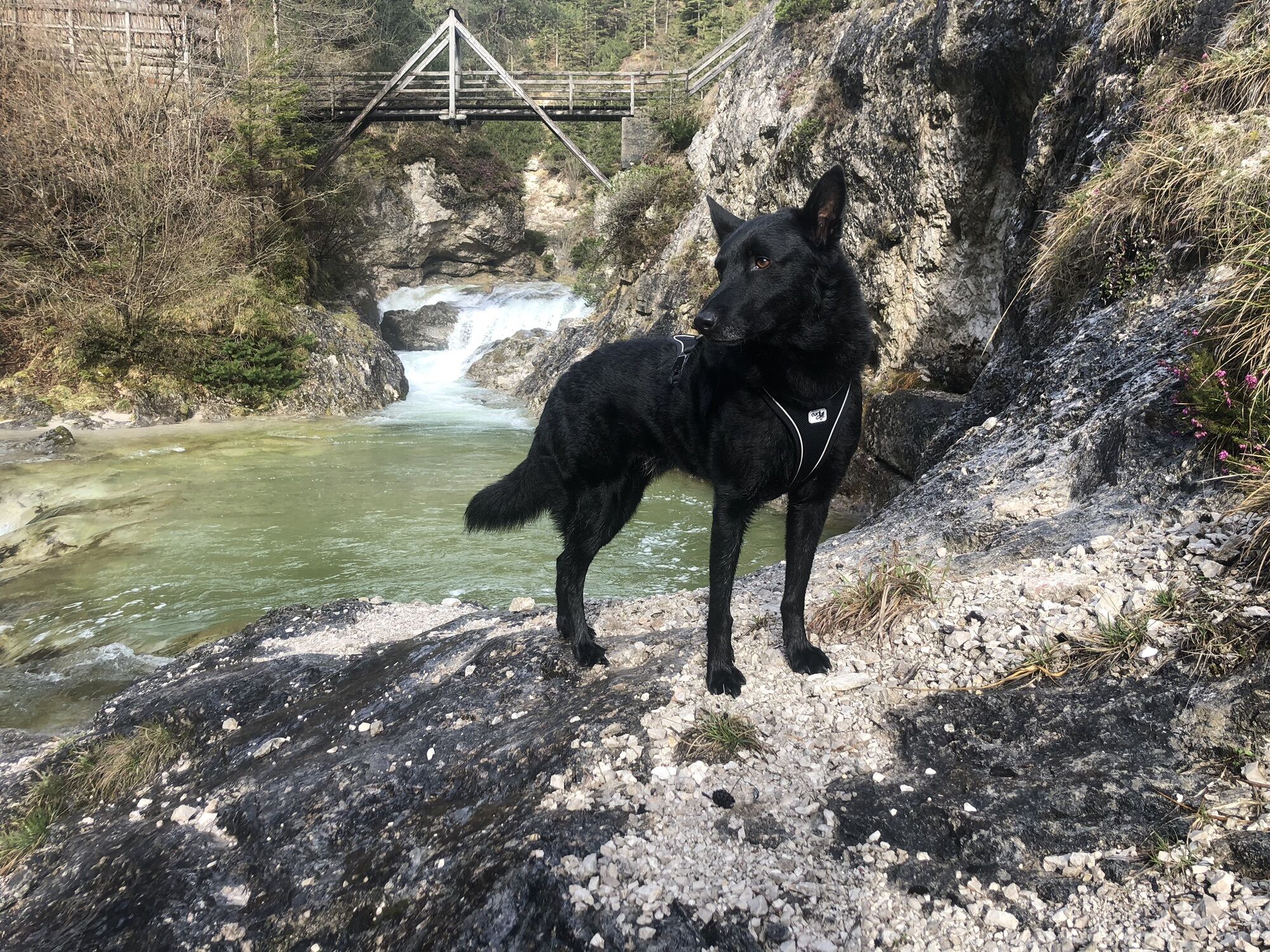
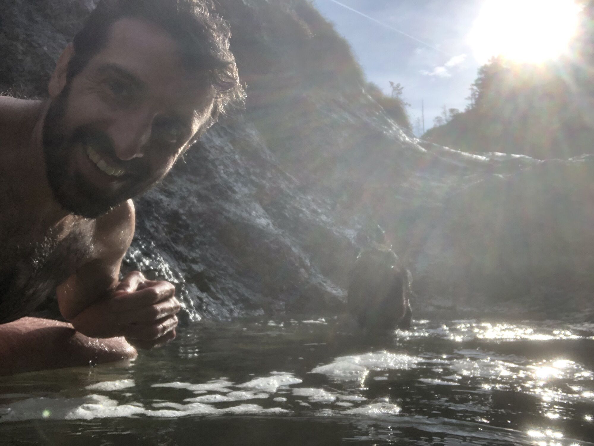
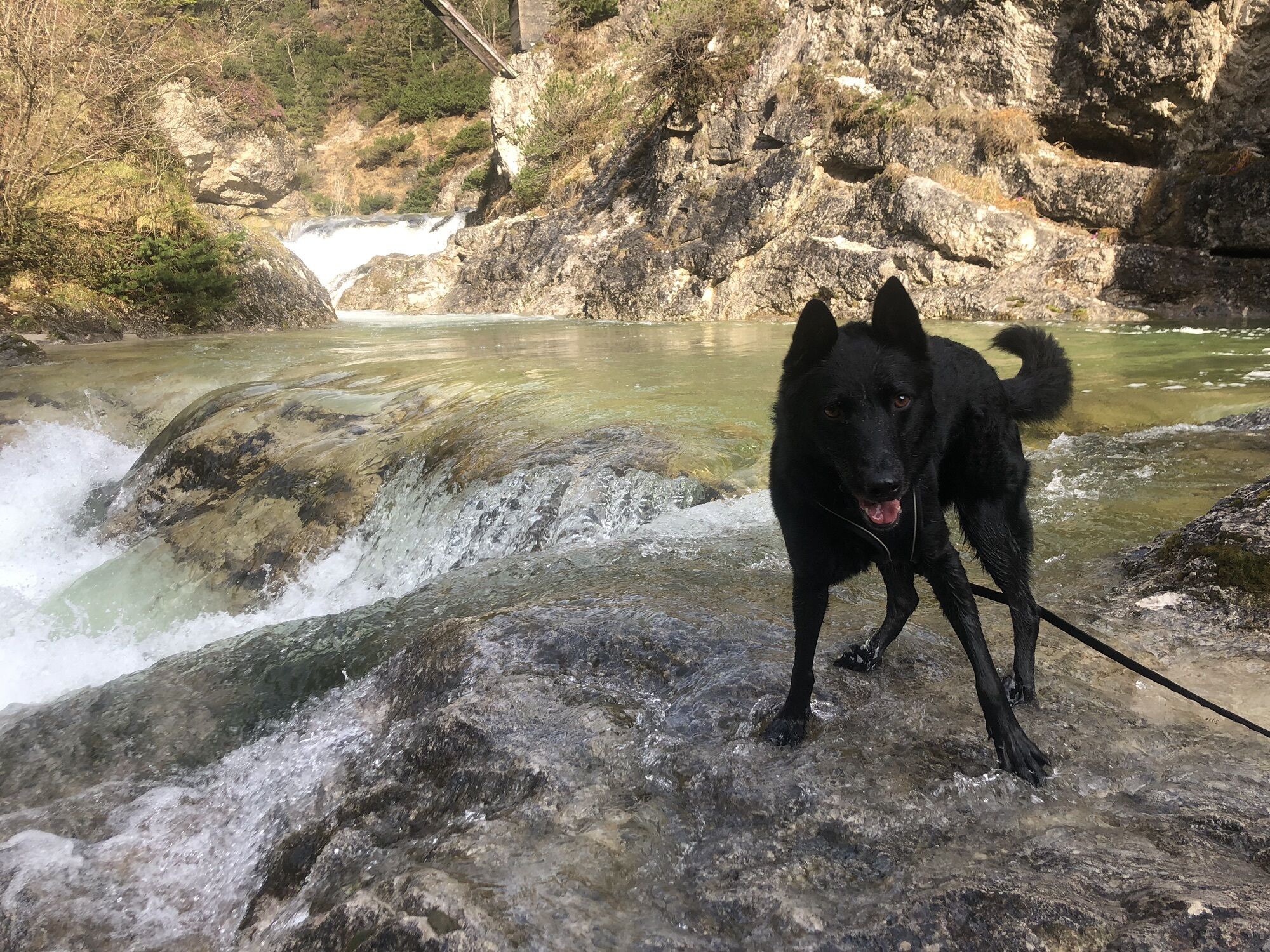
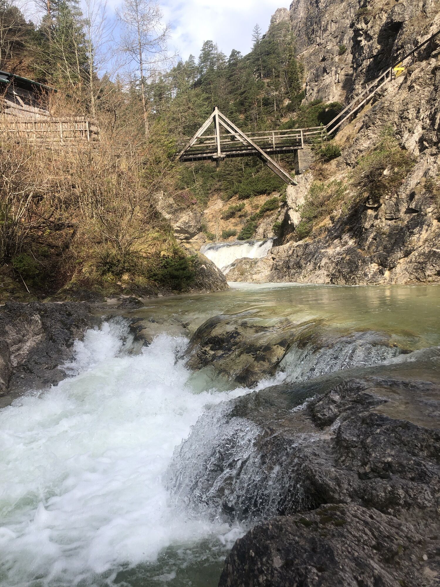
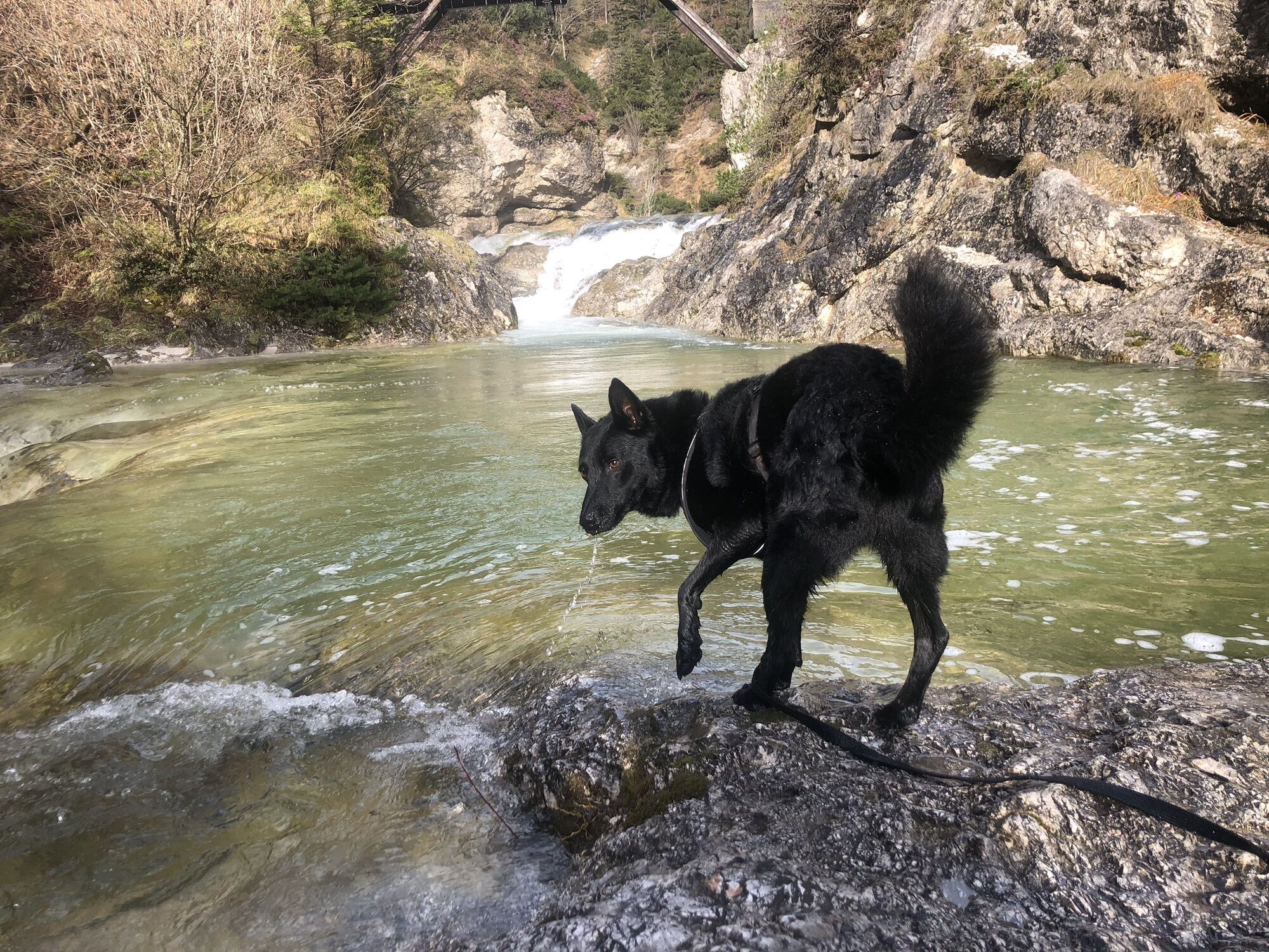
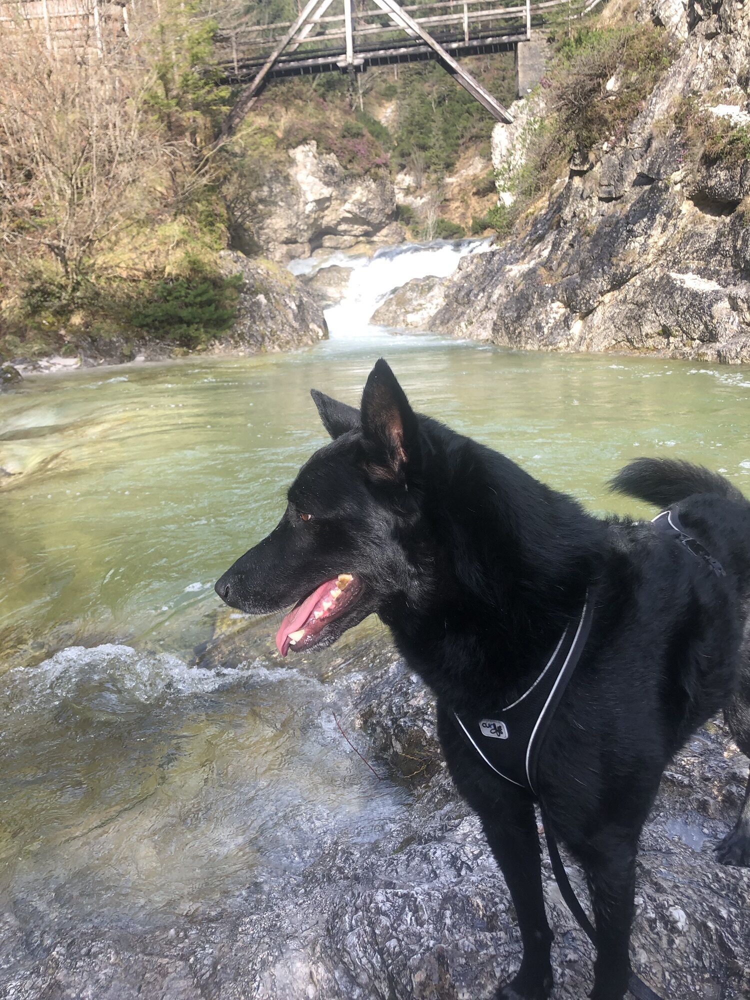
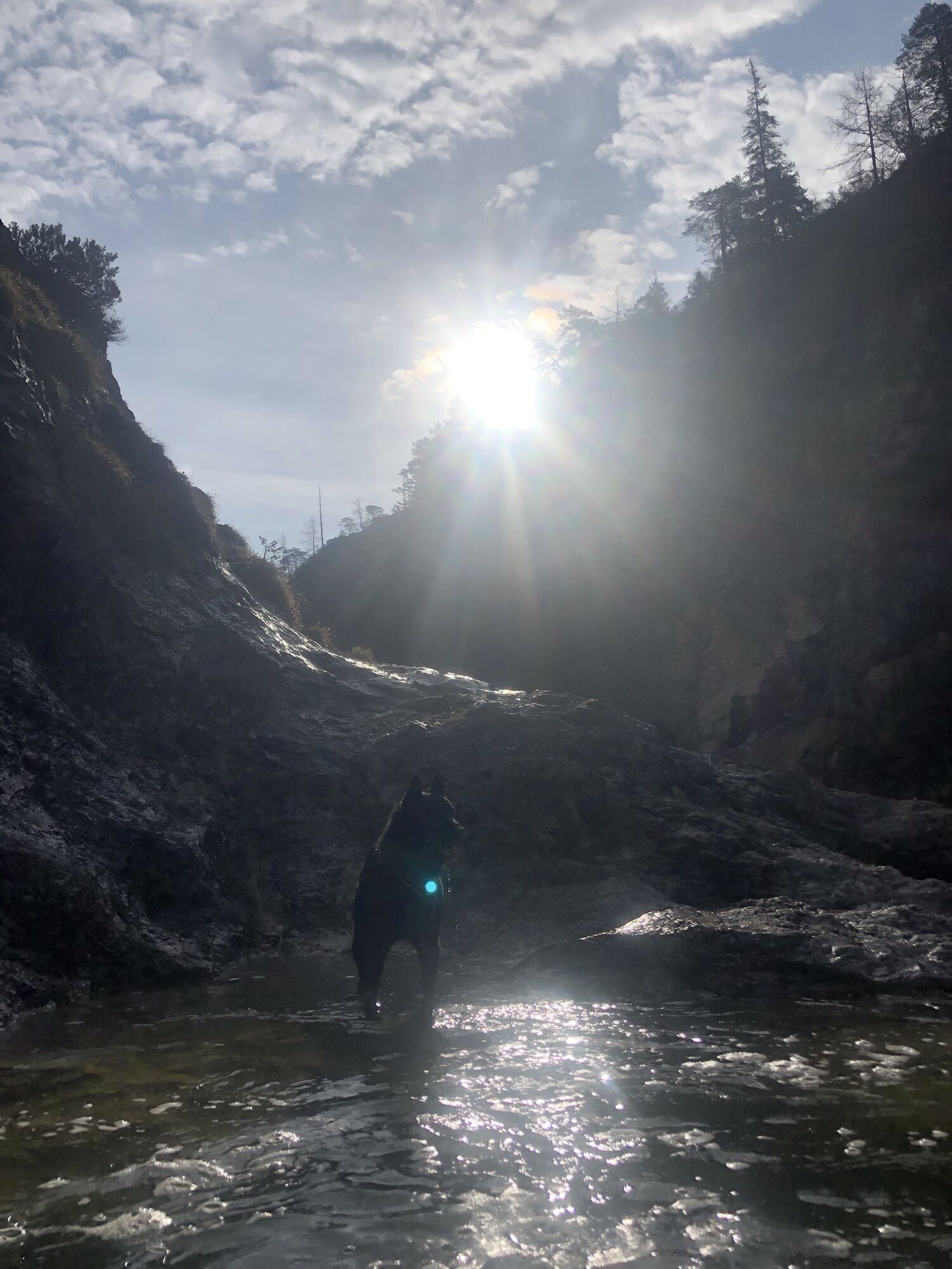
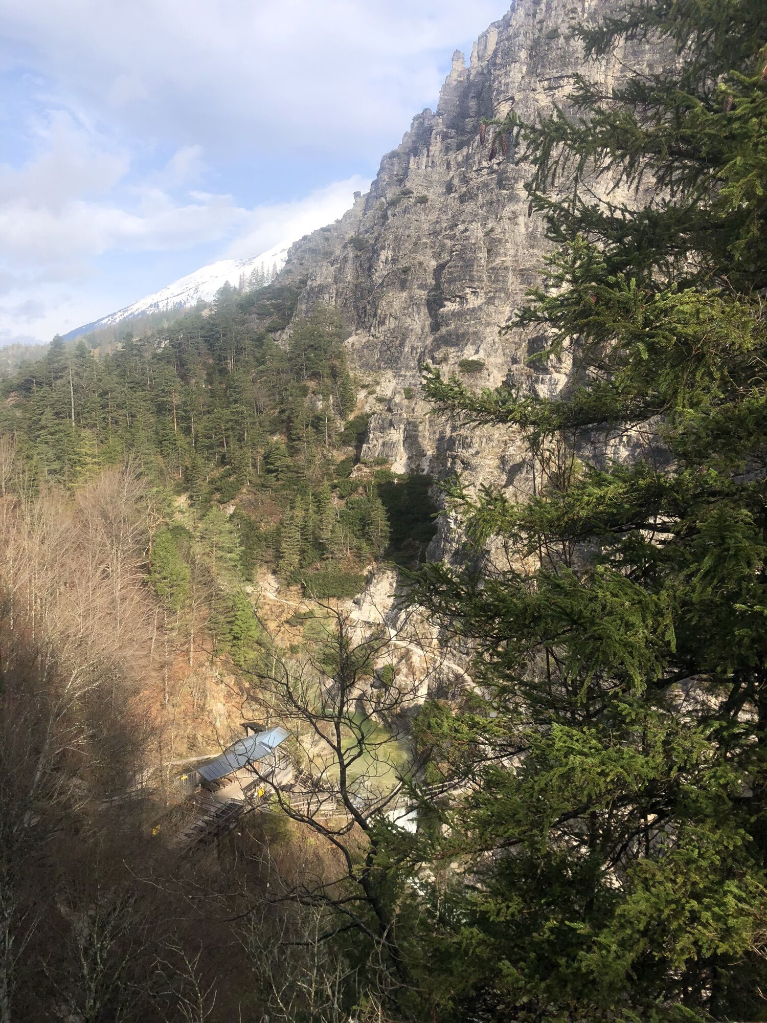
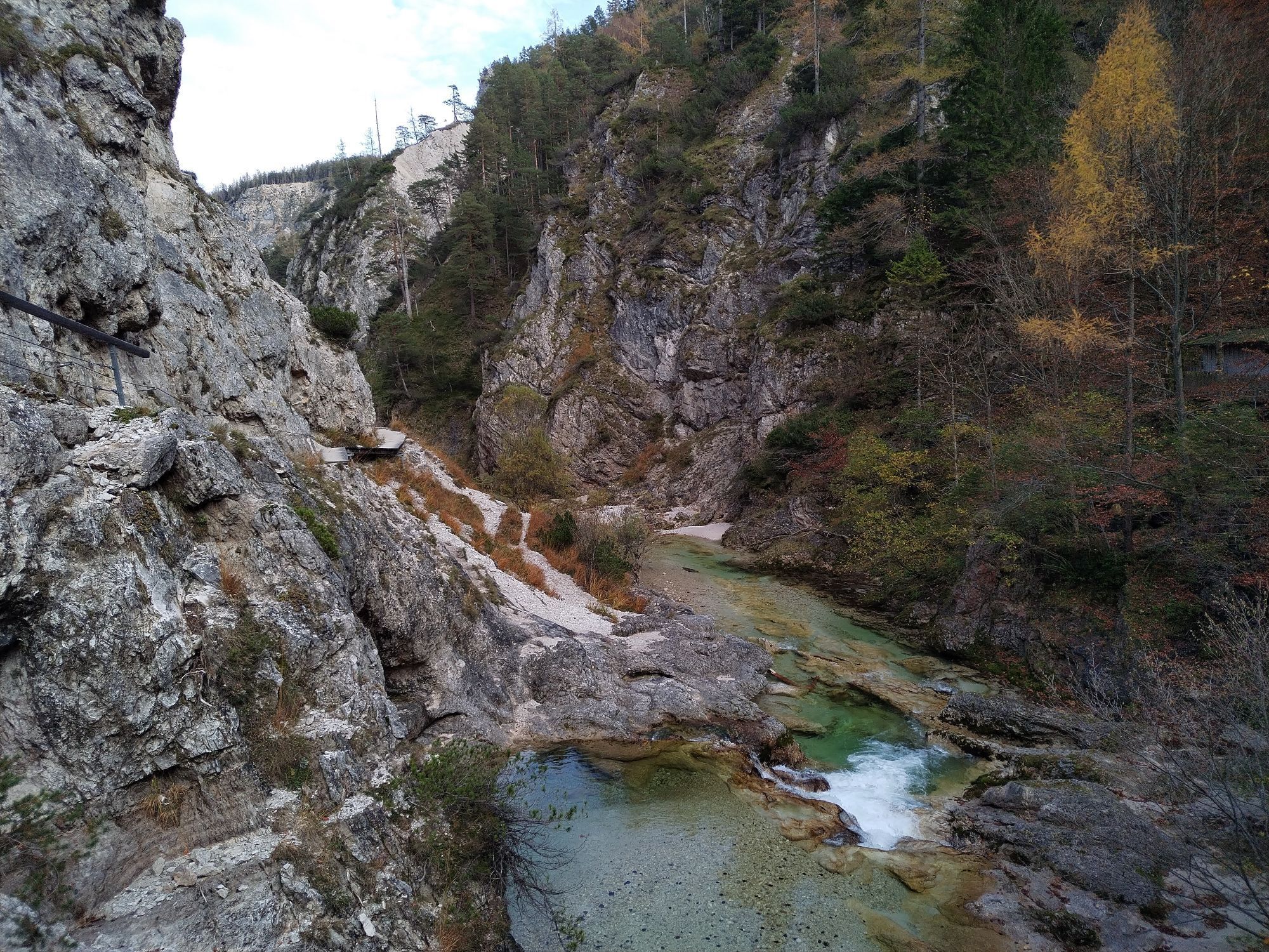
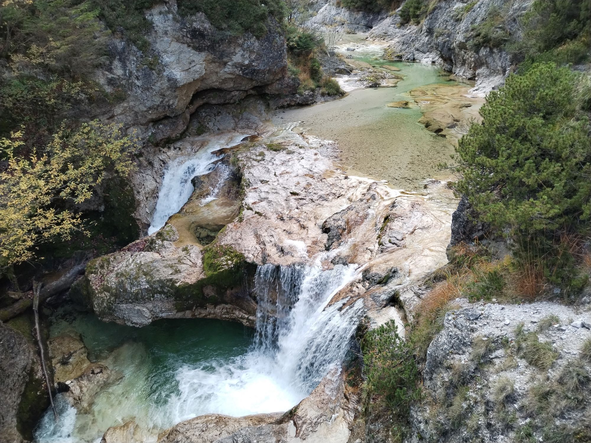
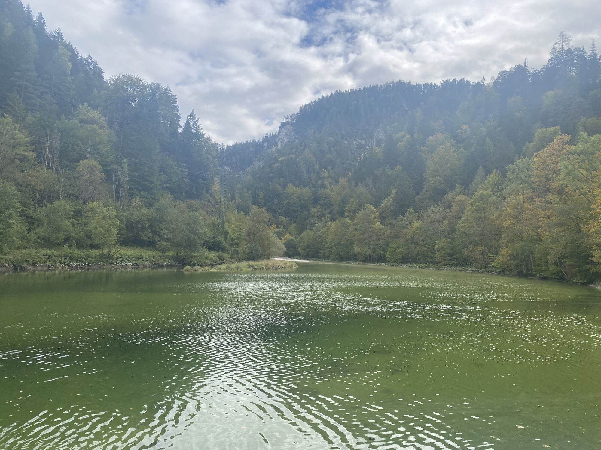
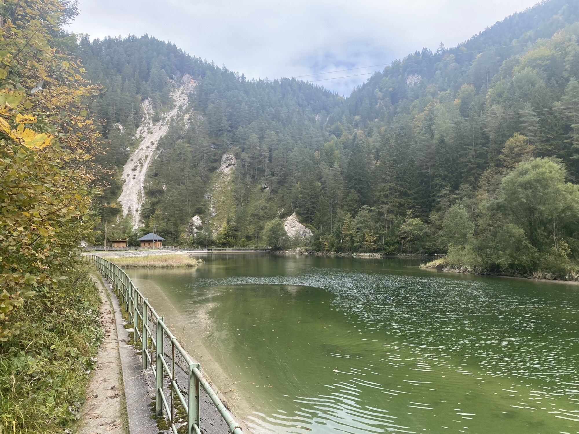
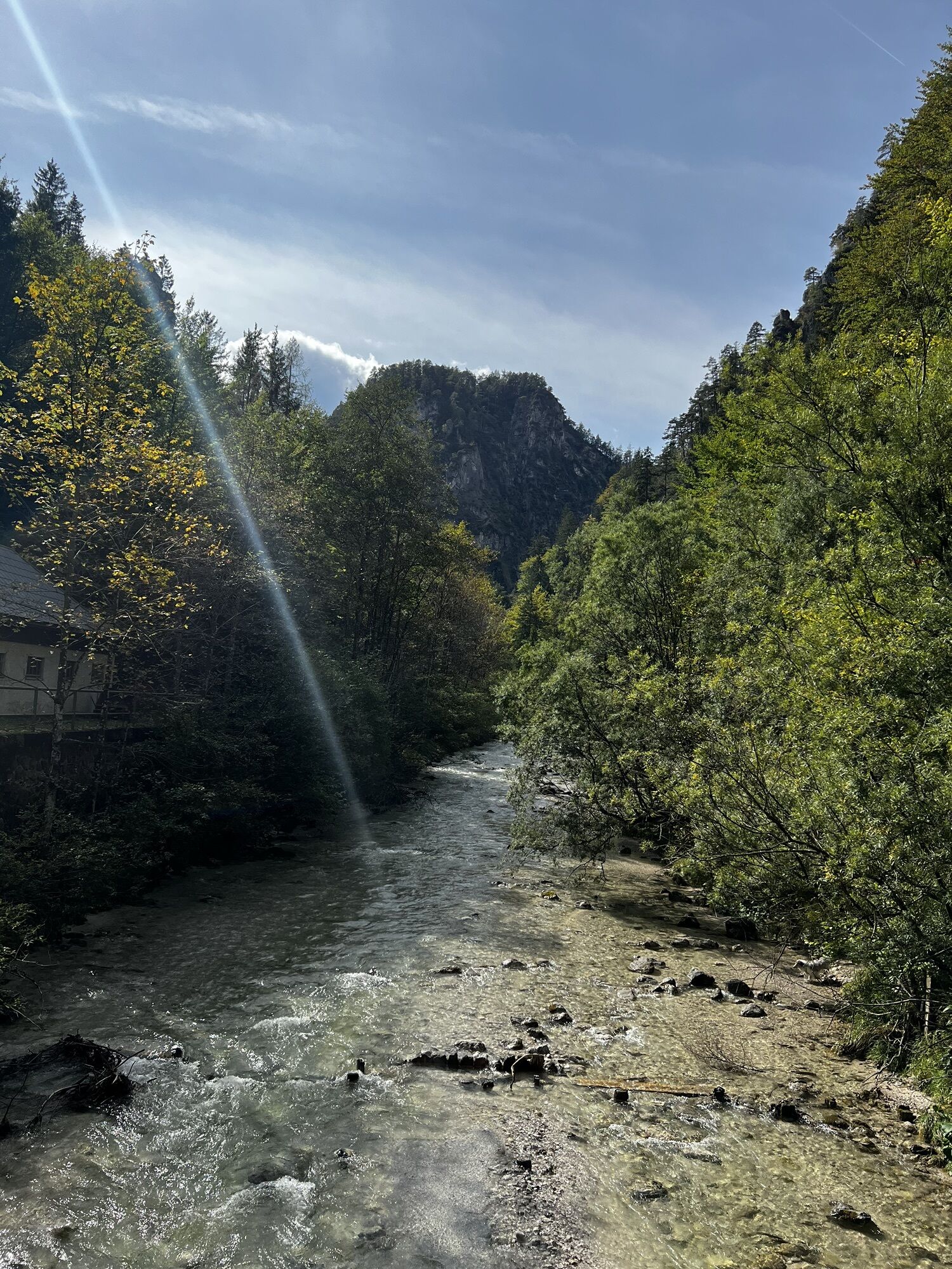
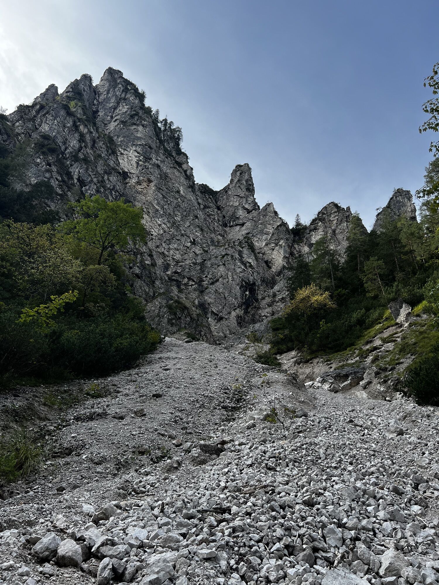
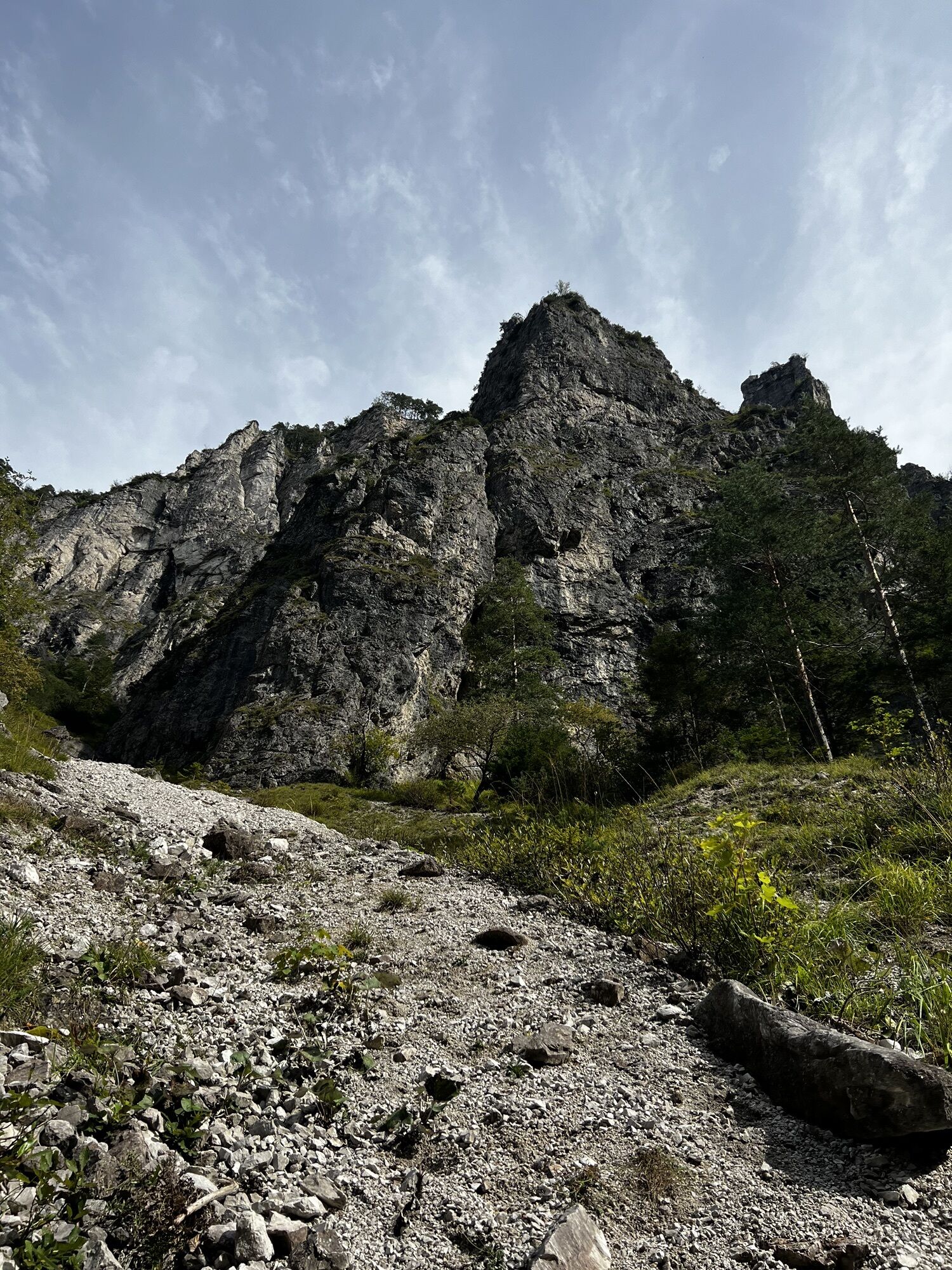
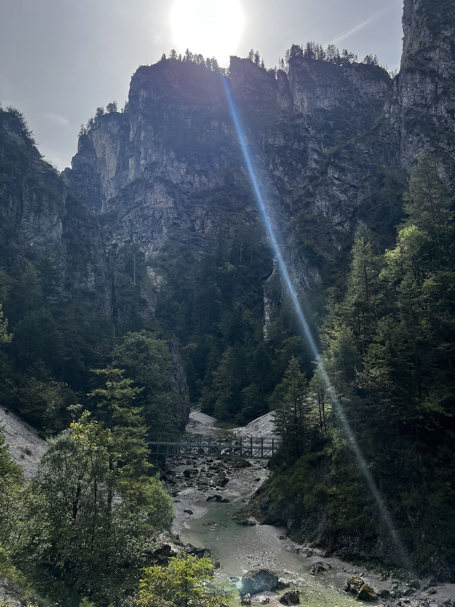
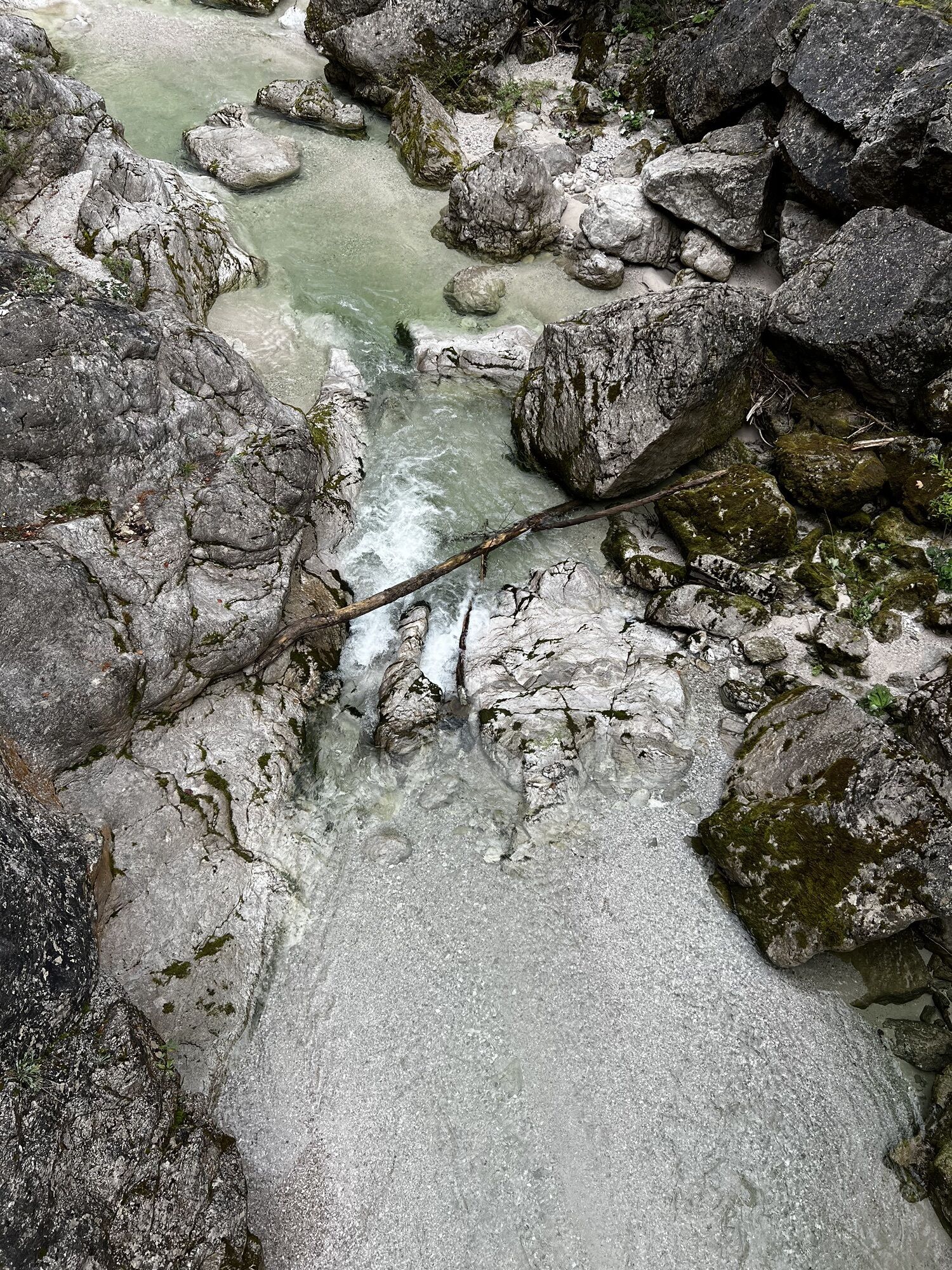
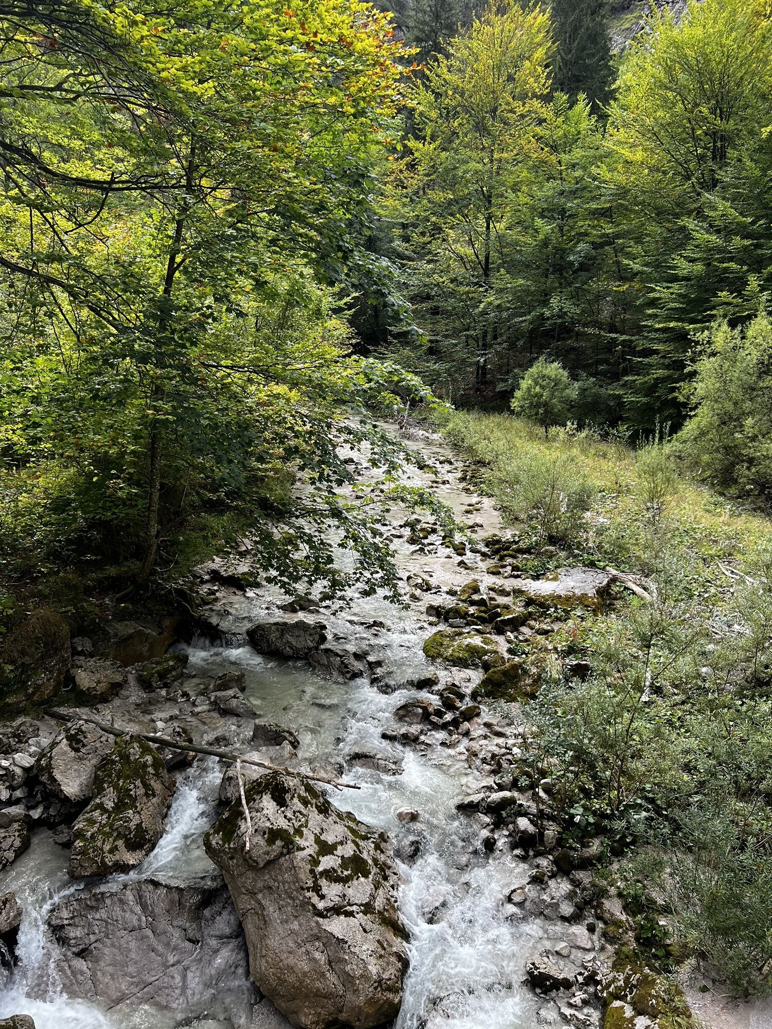
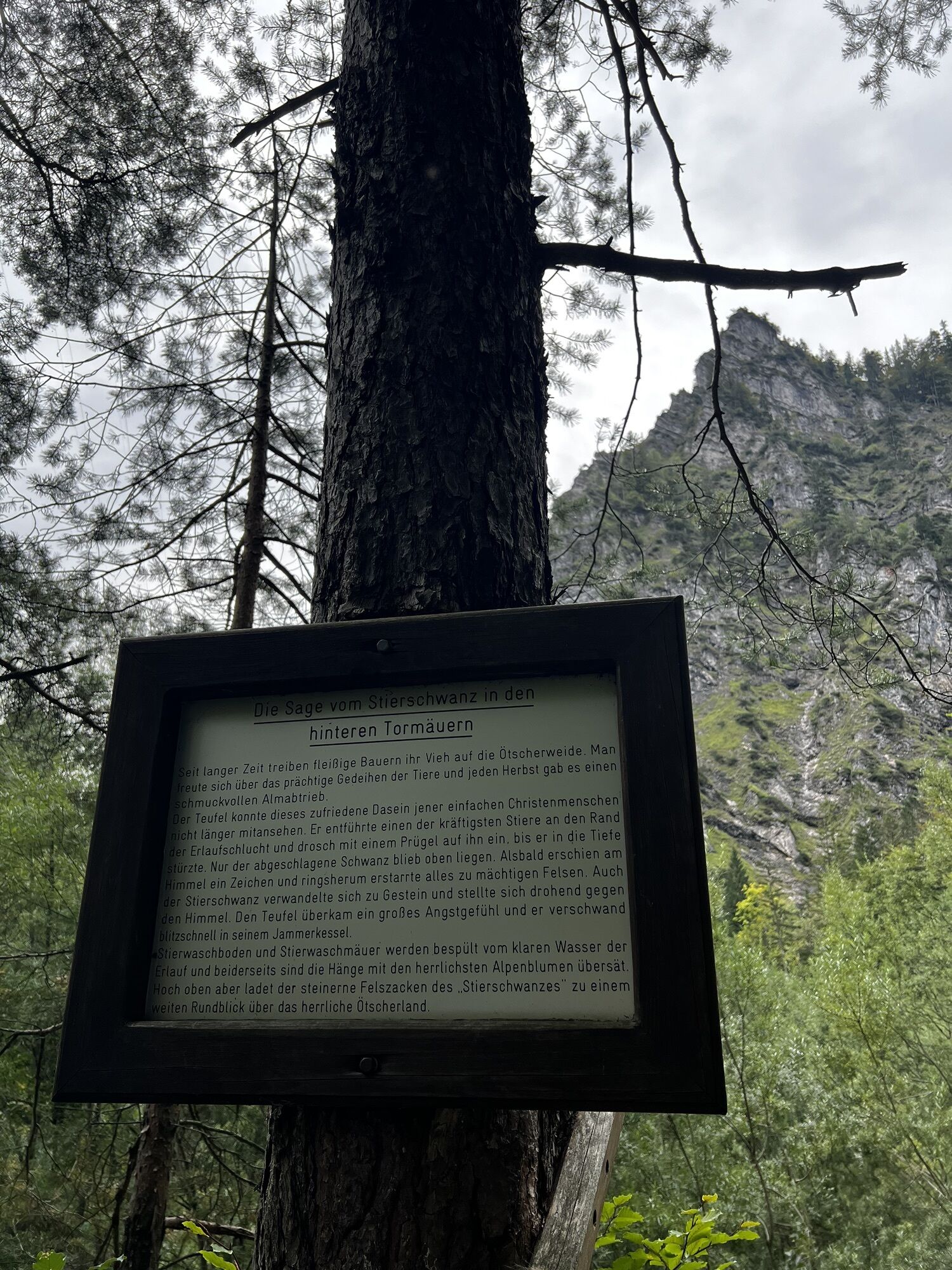
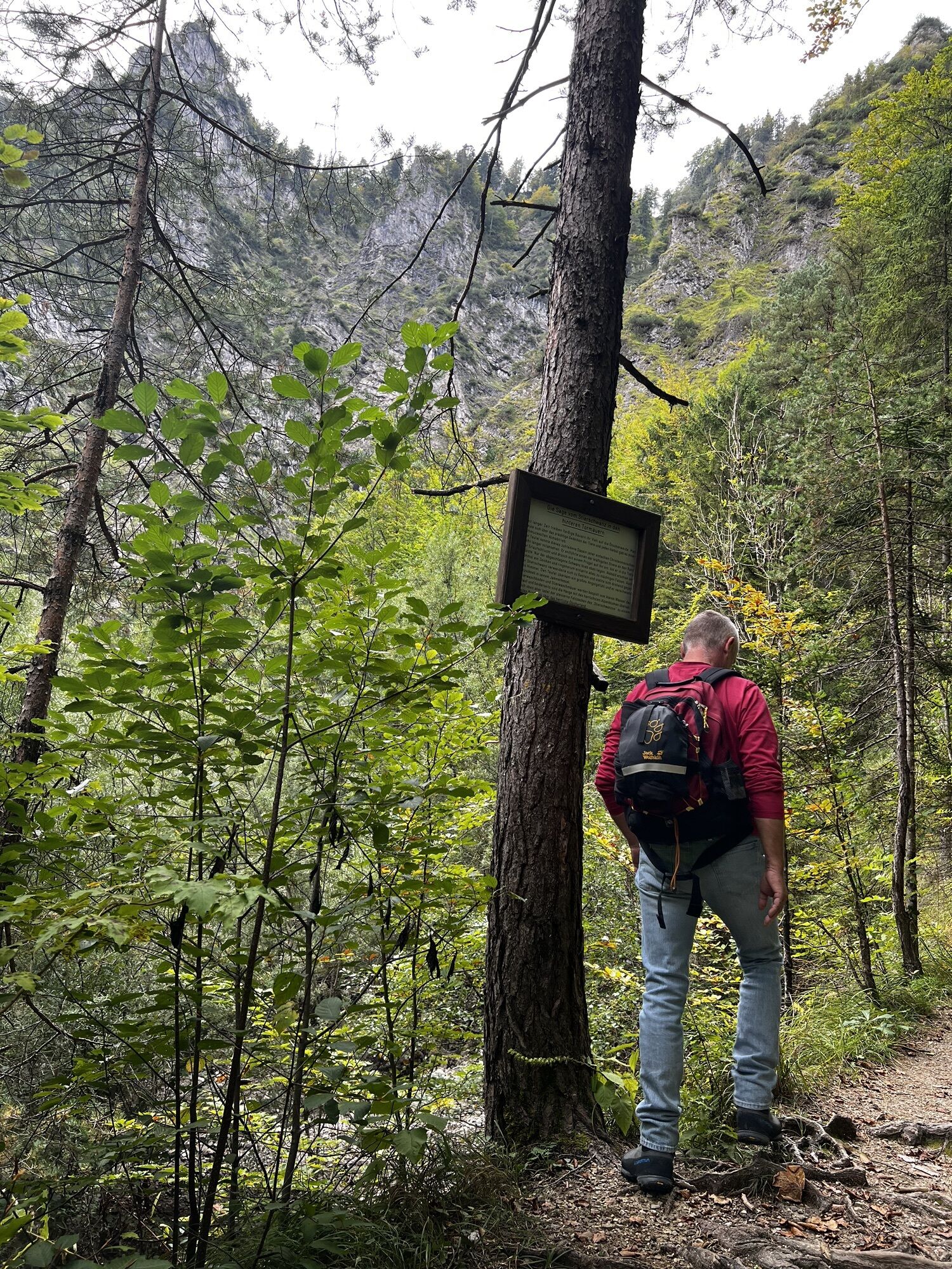
From the Trübenbach nature park entrance, along the left side of the Erlauf on a dirt road to the junction with a signpost. Here, left between spruce forest through the Sulzgraben. After the last house, turn right onto a narrow path over the ravine and through reforested areas, a short stretch through the remnants of the former high forest, partly quite steep uphill. The marking leads slightly right uphill to a forest road and leads above overgrown terrain to the saddle of the Bärenlacken. Next to a small natural monument, a narrow path branches off south and initially ascends gently. Later, in many short switchbacks mostly through forest, up the extremely steep slope and through krummholz to a level spot on the ridge. On the ridge height, right through larch corridors to the start of the Rauher Kamm. Left turn possible to the Ötscher caves. To avoid the rock blocks on the north side, cross on grass bands beneath the cliff-high, vertical walls to the west, take a very steep scree step in switchbacks and only quite high up reach the ridge edge again. Now it goes very steeply (keep left) on narrow bands to a striking ridge ledge. Descend a few meters, then horizontally along the ridge fairly exposed to the top steep rise, which is overcome on airy grass bands and over a rugged rock step in the steep southern flank (absolute sure-footedness required, good climbers can also follow the ridge edge). Just before the exit is the summit register. From the fore summit, walk almost flat in a westerly direction past the "Herrenstand" and over the small summit plateau to the Kreuzkogel. From here approx. 1 hour downhill to the Ötscher shelter. Now marked in red, the path goes downhill to the Riffelsattel, turn right over the saddle meadow with erosion areas overlooked by a rock needle ("Kaspar"), marked yellow, first in partly deeply eroded steep switchbacks, then on a forest path and a forest road to the former guesthouse Spielbichler. Follow the yellow marking along the Ötscher road to the junction on the right, partly on boardwalks (heavily swampy) into the Ötschergräben. Past Schleierfall and Mirafall to the snack station Ötscherhias. From here along the stream in the high alpine-looking gorge terrain on partly narrow paths, past the opposite Kraftwerk Wienerbruck (Stierwaschboden) and through the Hintere Tormäuer along the Erlauf to Erlaufboden and Trübenbach.
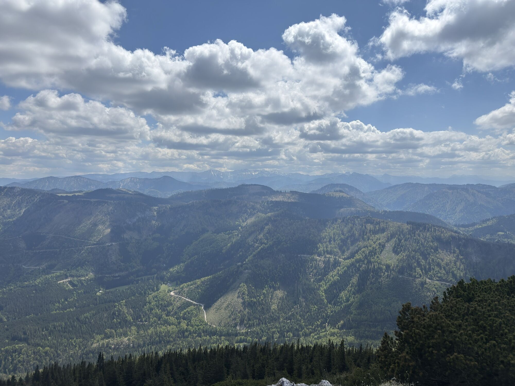
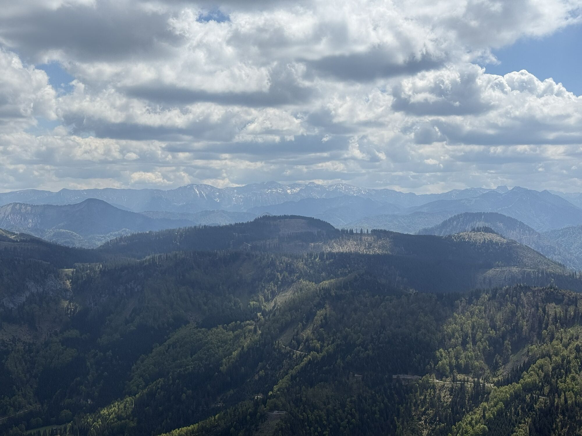
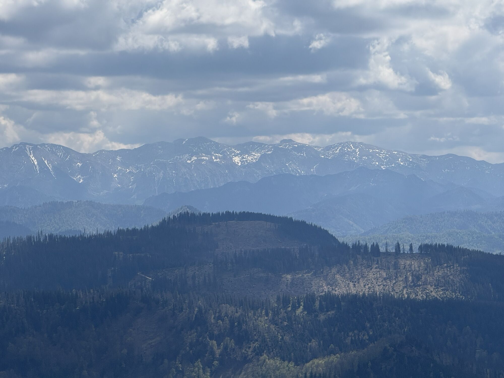
Challenging hike, sure-footedness and freedom from dizziness required. Partly unpleasantly slippery when wet. Only to be done in good weather conditions.
Please inform yourself in advance about possible path and road closures in the Ötscher-Tormäuer Nature Park. You can find this information at https://www.naturpark-oetscher.at/aktuelles-top-informiert-im-naturpark
A1 exit 59 St.Pölten South - B20 towards Mariazell - Annaberg - Reith - Trübenbach
or:
A1 exit 59 St.Pölten South - B39 towards Pielachtal - Puchenstuben - right towards Sulzbichl - Trübenbach
Tourism community Annaberg
Annarotte 14
3222 Annaberg
Tel. 02728/82 45
Fax 02728/822 99
www.annaberg.info
Kamery internetowe z trasy
-
Gemeindealpe Mittelstation
-
Eibenkogl Bergstation
-
Gipfelbahn Bergstation
-
Gemeindealpe Mittelstation
-
Mittelstation Gemeindealpe
-
Gemeindealpe Talstation
-
Terzerhaus
-
Puchenstuben
-
Eibenkogl Bergstation
-
Eibenkogl Bergstation
-
Eibenkogl Bergstation
-
Snowpark Gemeindealpe
-
Birkihang
-
Terzerhaus
-
Almhaus Hochbärneck
-
Terzerhaus
-
Mittelstation
-
Gemeindealpe Mittelstation
-
Gemeindealpe Mittelstation
-
Gemeindealpe Mittelstation
-
Gemeindealpe Mittelstation
-
Gemeindealpe Mittelstation
-
Gemeindealpe Mittelstation
-
Gemeindealpe Mittelstation
-
Mitterbach
-
Stapelhaus
-
Terzerhaus


Popularne wycieczki w okolicy
-
4,4
Das 3 Seen-Erlebnis (Lunzer See - Mittersee - Obersee)
średniWędrówka 9,33 km -
4,3
Rund um den smaragdgrünen Lunzer See
światłoWędrówka 4,80 km -
4,8
Gemeindealpe
średniWędrówka 13,5 km -
5,0
Von Lackenhof auf den Ötscher
światłoWędrówka 5,29 km -
4,8
Panoramic summit Maiszinken - alpine experience included
średniWędrówka 12,6 km -
4,9
Lassingfall->Ötscherhias->Erlaufklause
średniWędrówka 8,72 km -
4,9
Lackenhof ÖTSCHER Rauer Kamm 19.10.2014
ciężkiWędrówka 14,1 km -
4,8
Naturpark Ötscher-Tormäuer Wienerbruck
światłoWędrówka 6,06 km -
4,7
Trefflingfall über Hochbärneckhütte
średniWędrówka 12,2 km -
4,7
Erlaufsee-Rundweg
światłoWędrówka 5,37 km
Wędrówki i tropienie


Nie przegap ofert i inspiracji na następne wakacje
Twój adres e-mail została dodana do listy mailingowej.