







Lunzer See - Obersee - Dürrenstein - Ybbstaler Hut
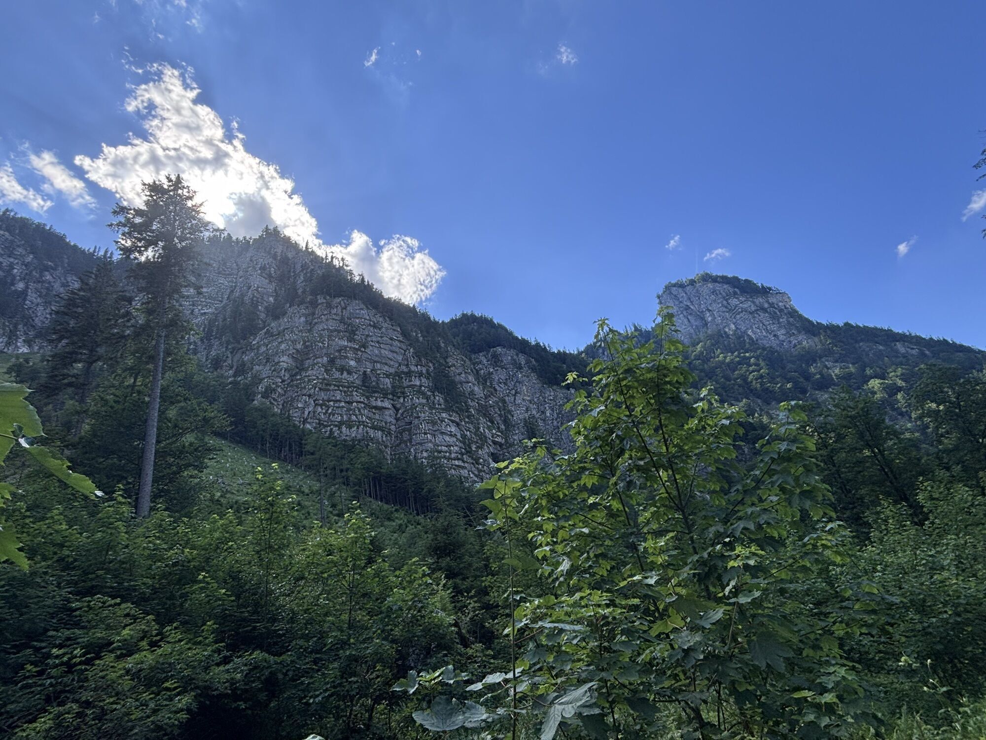
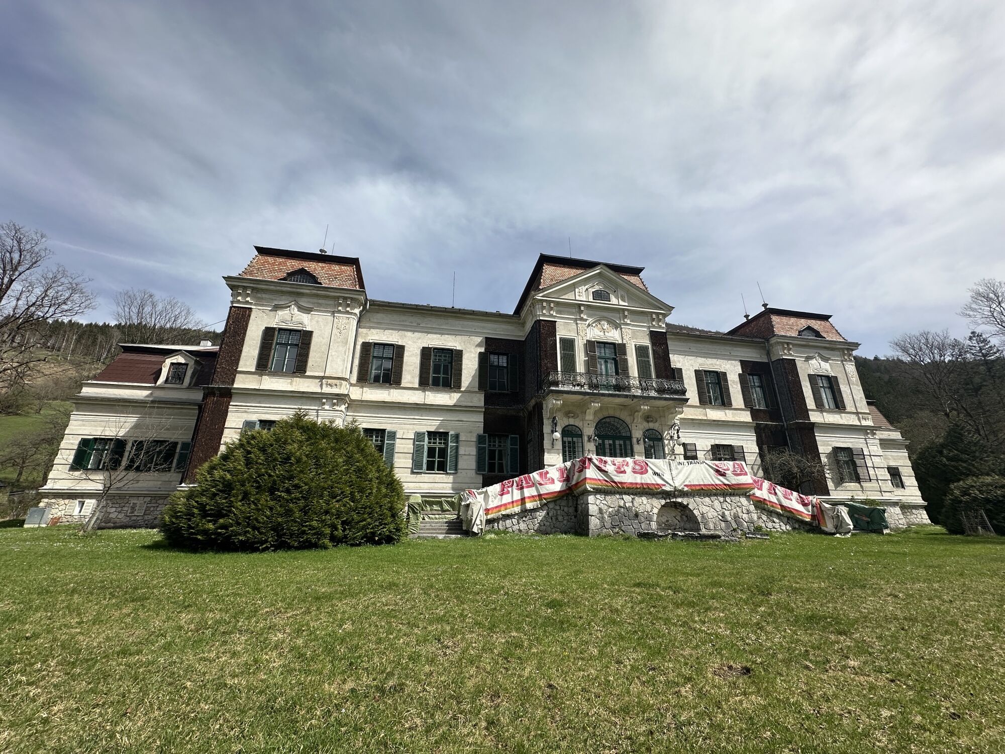
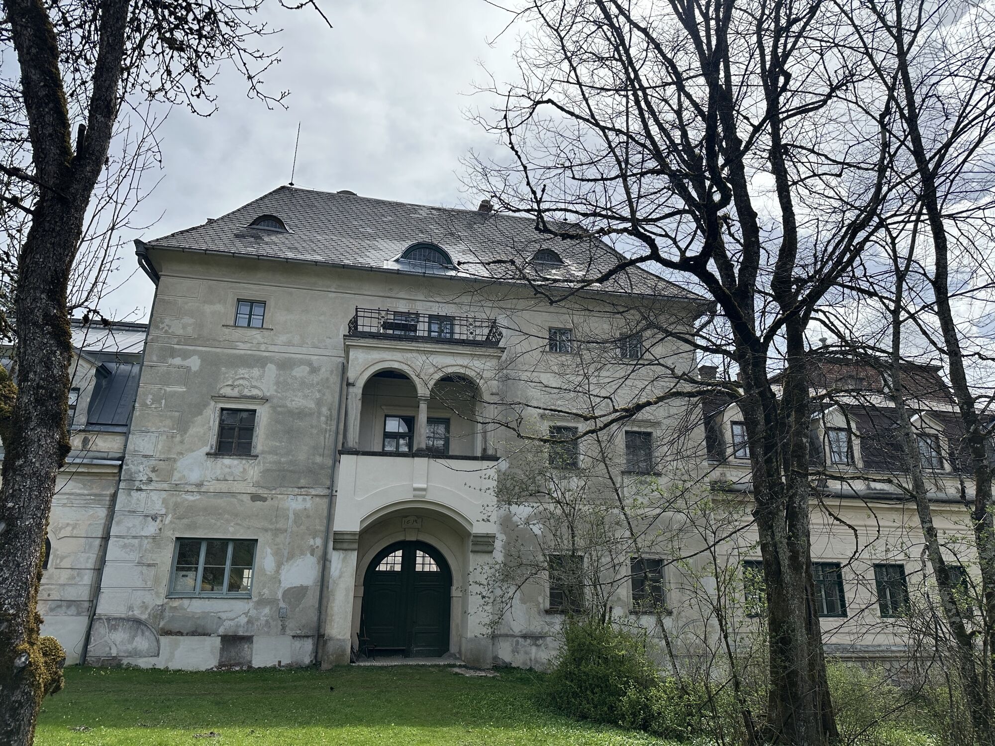

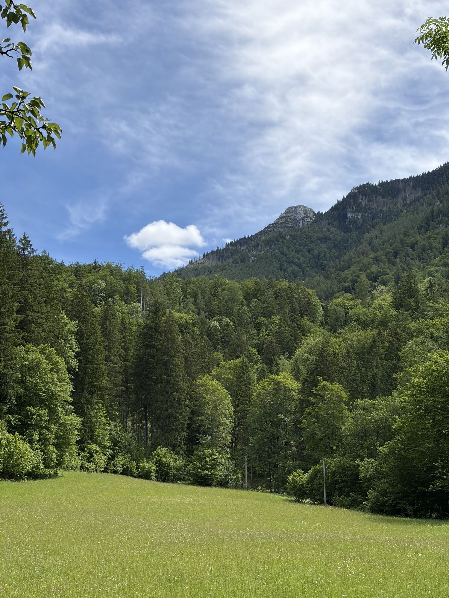
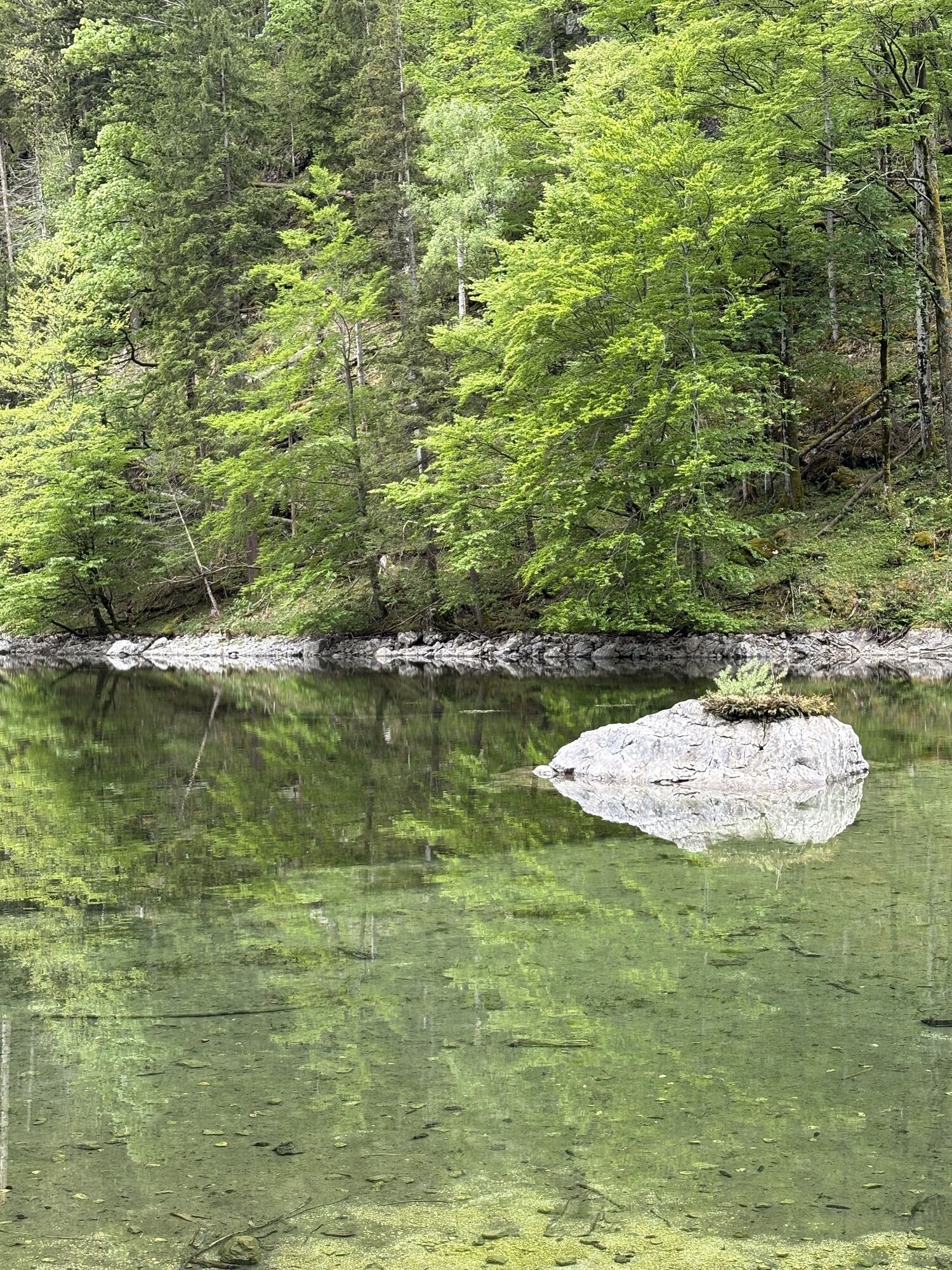
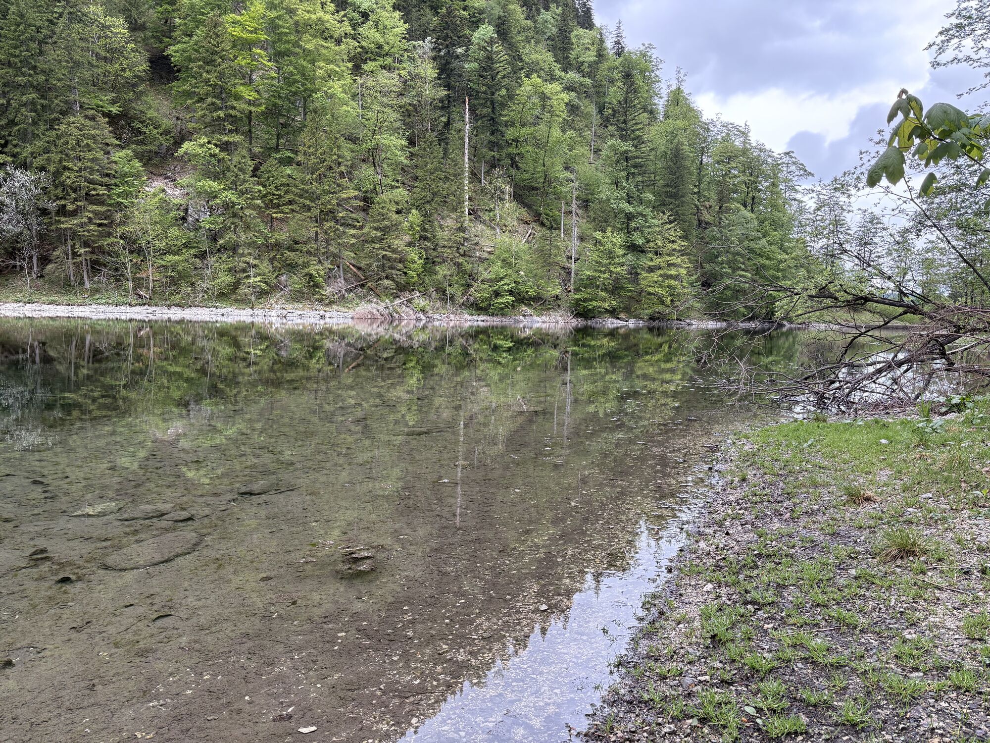
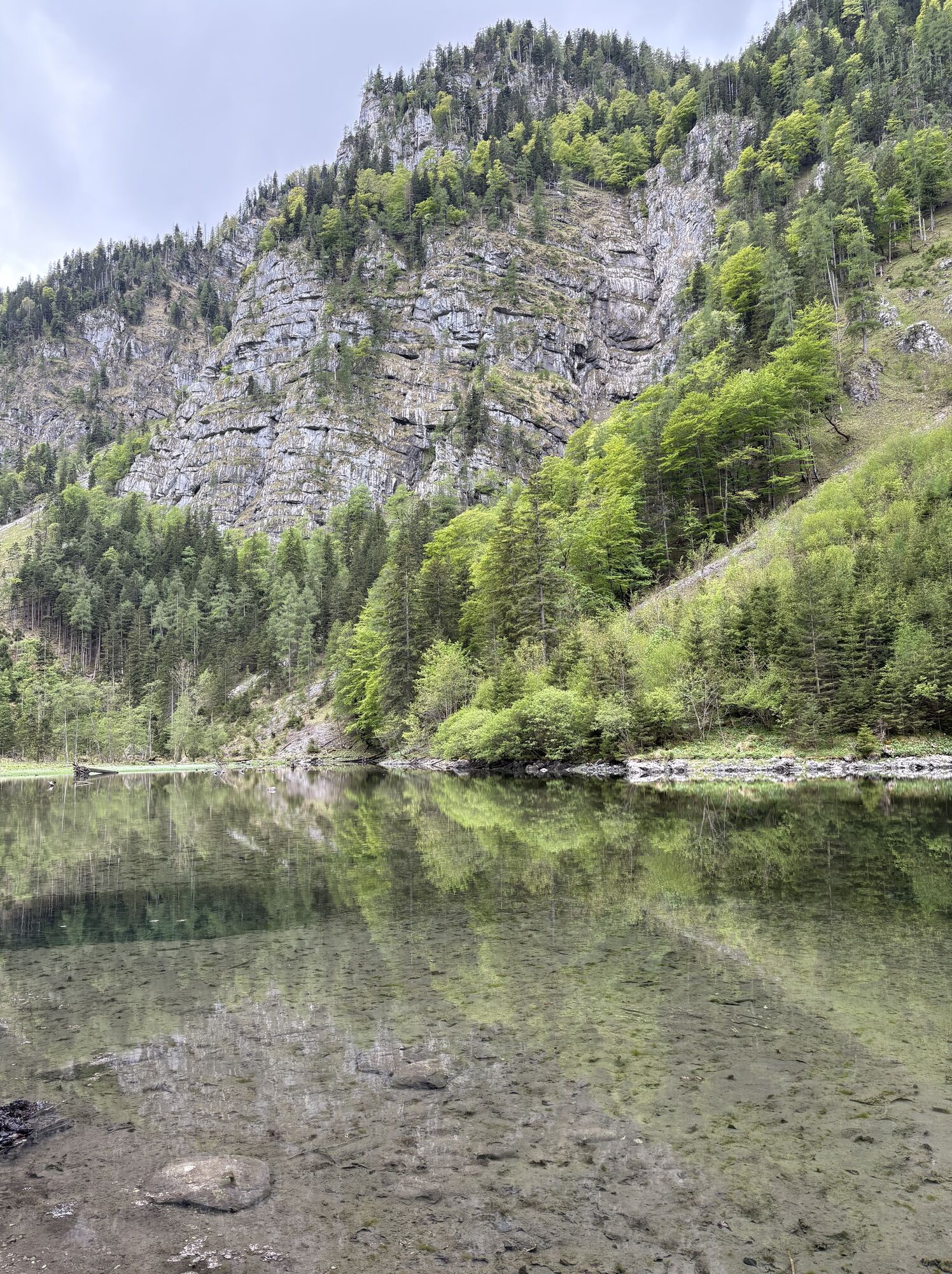
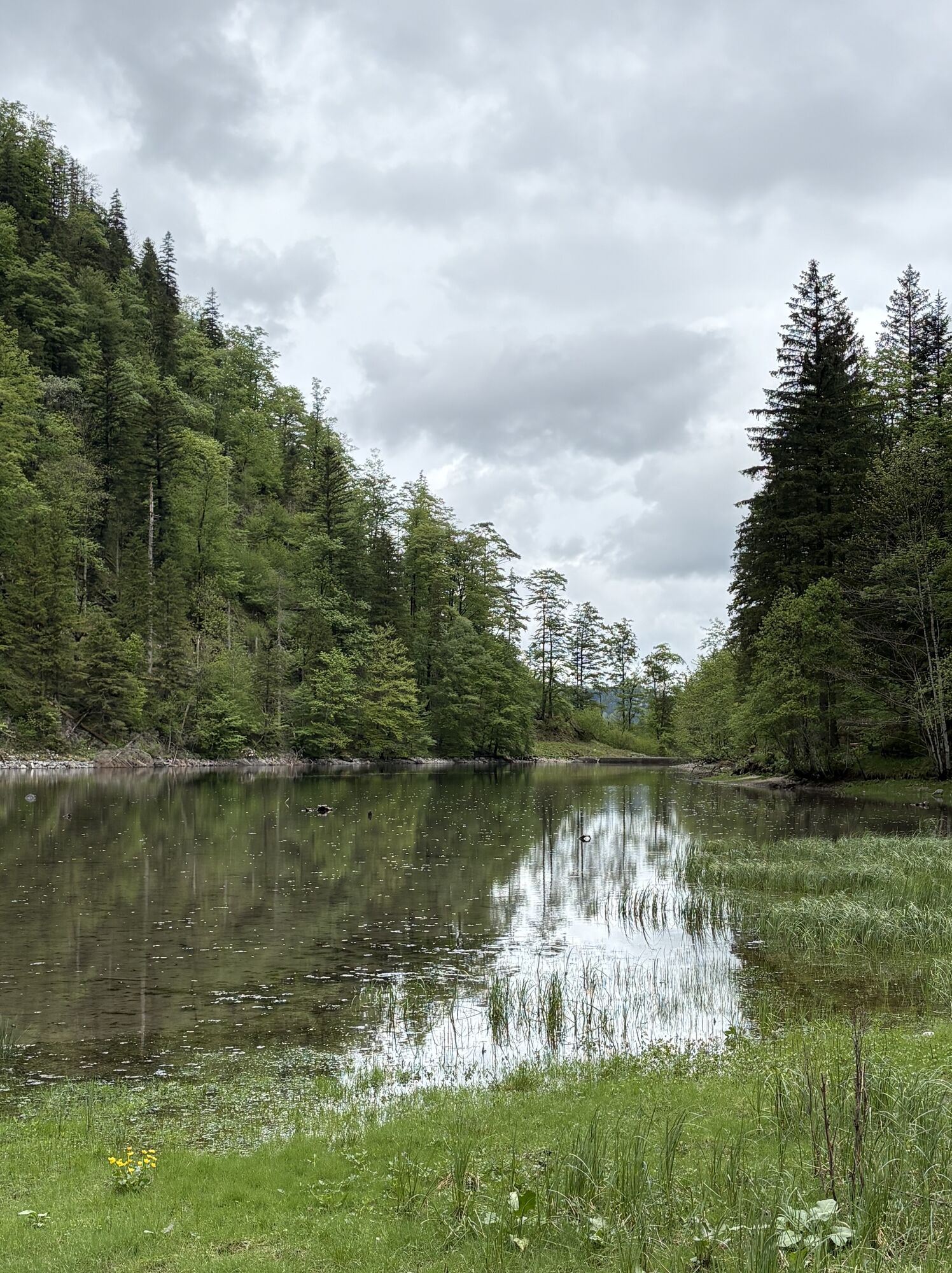
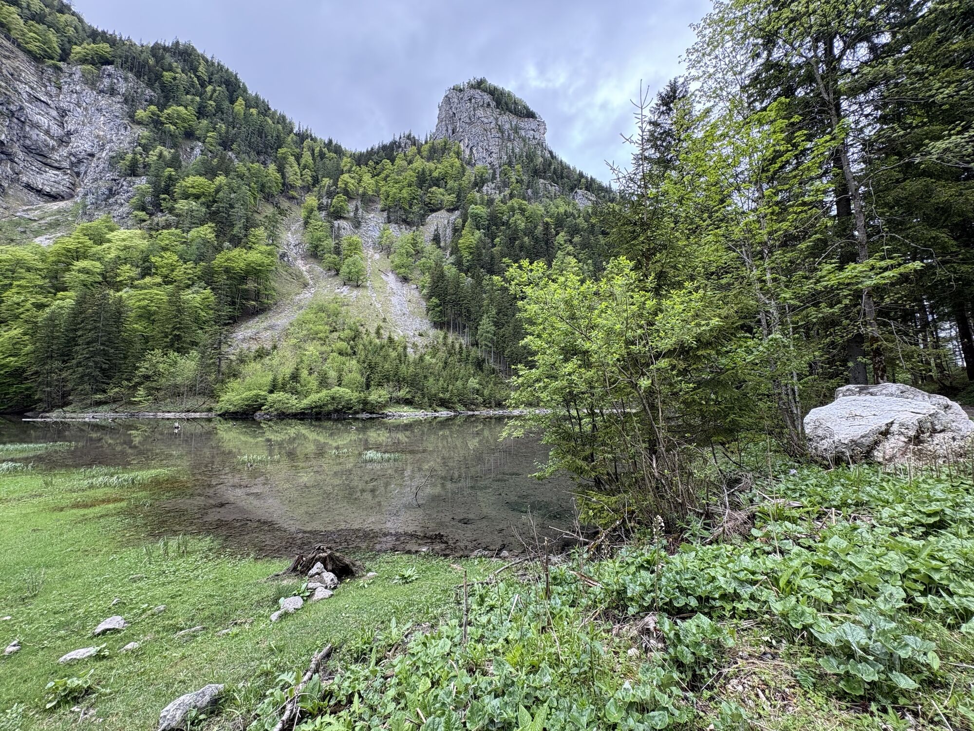
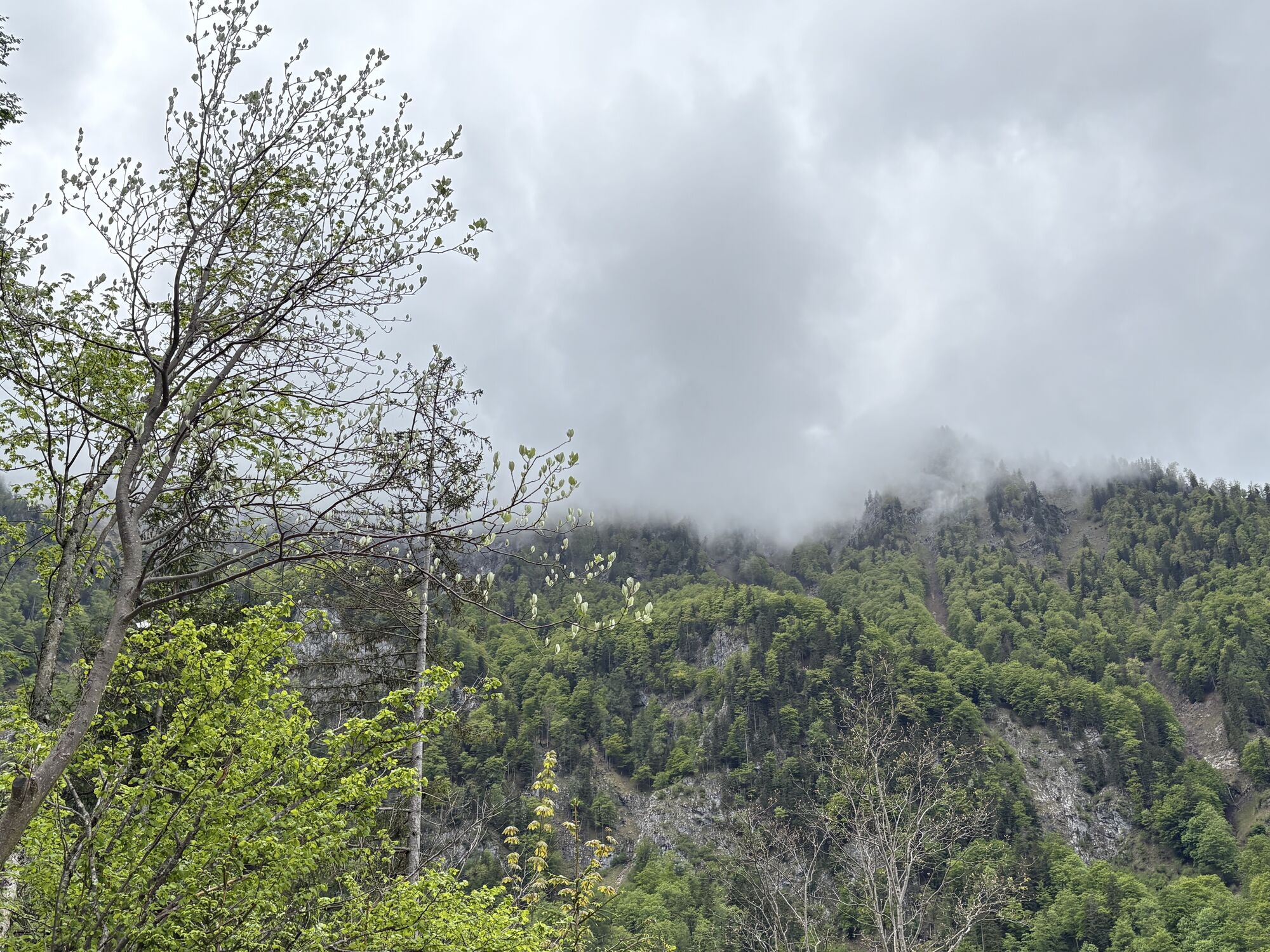
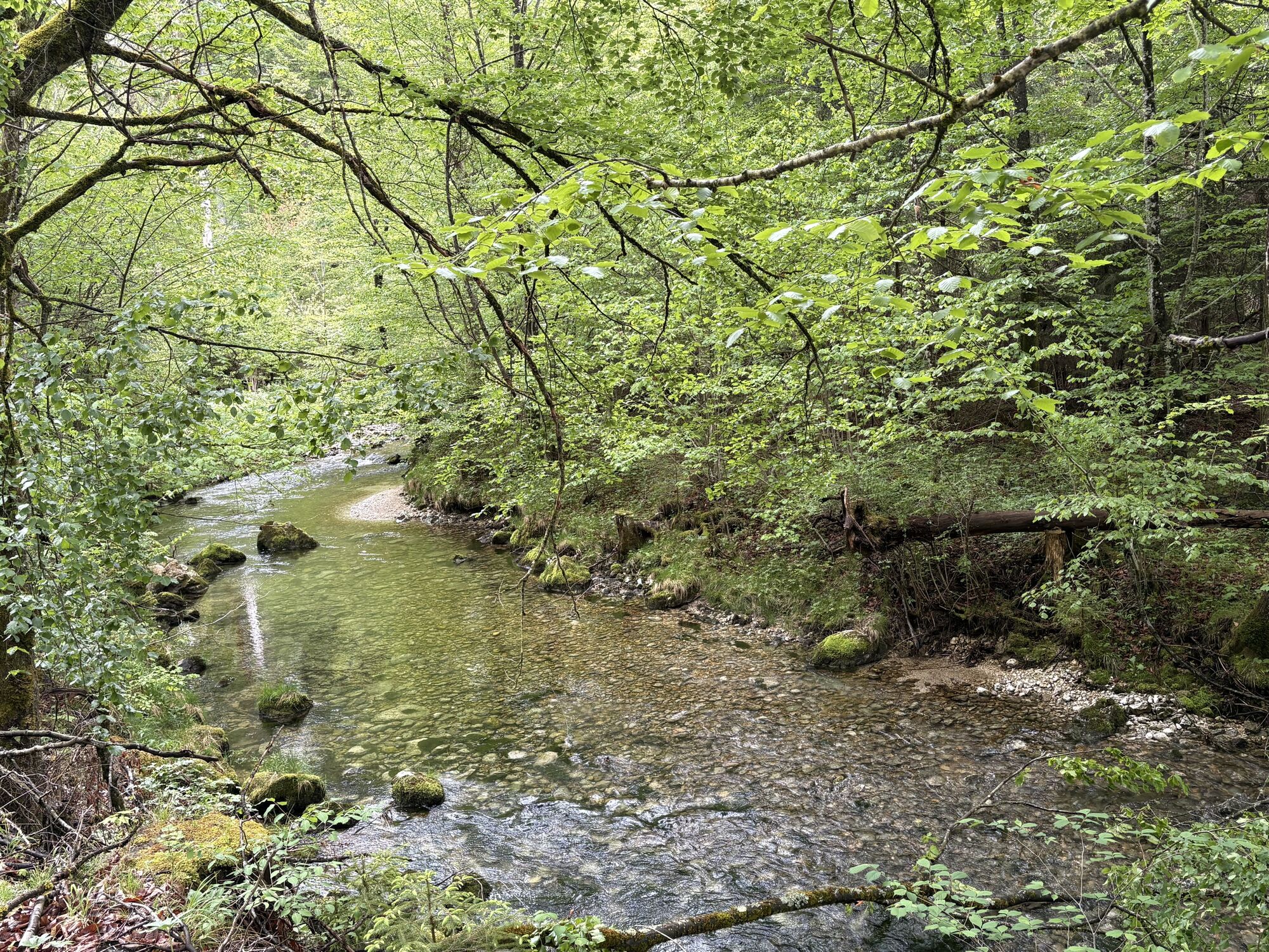
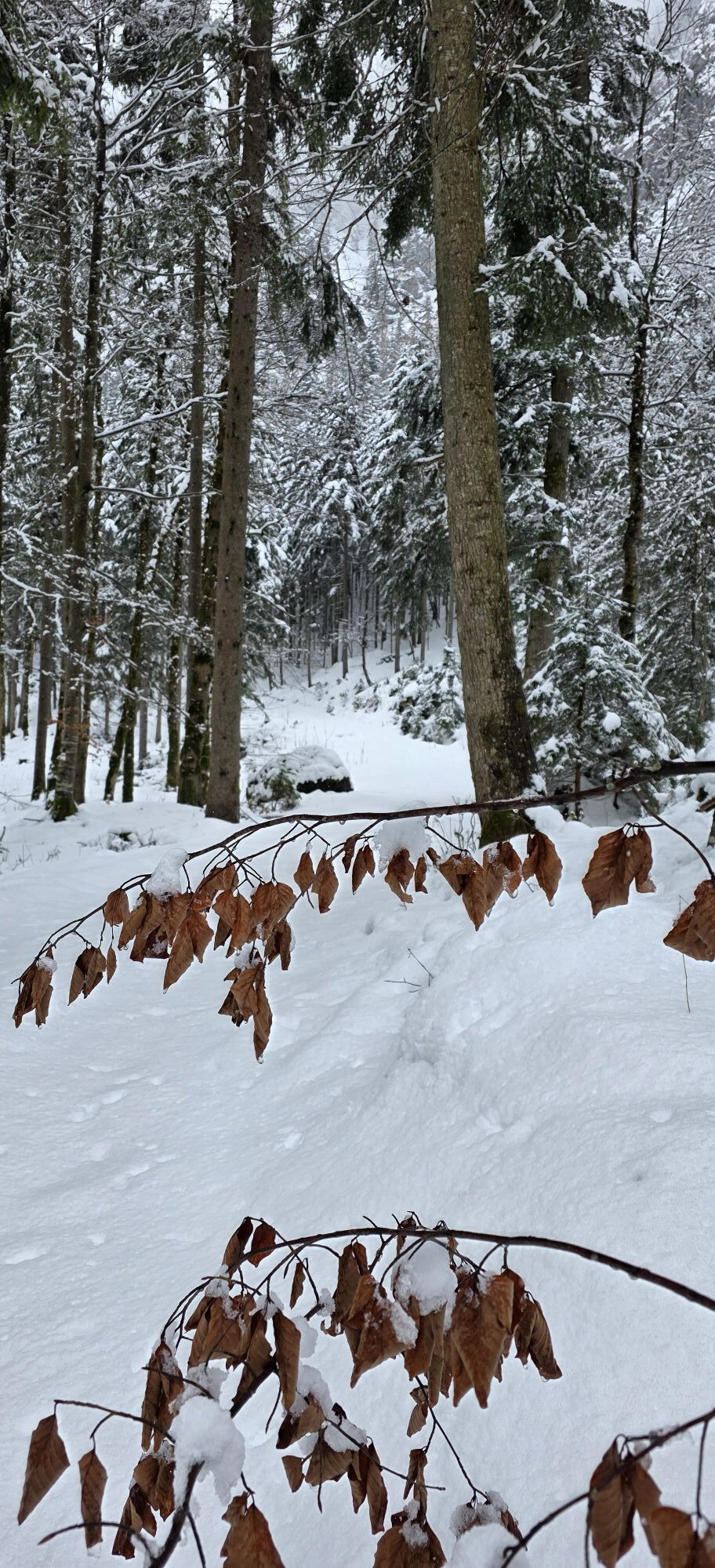
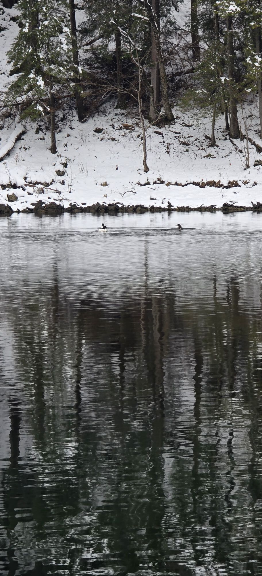
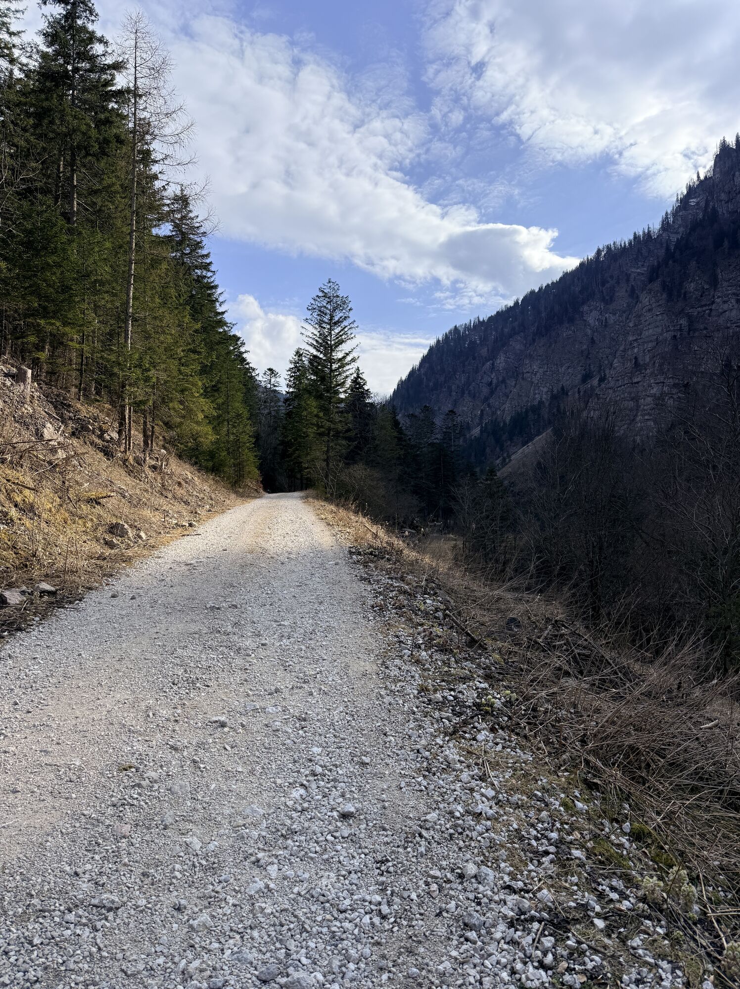
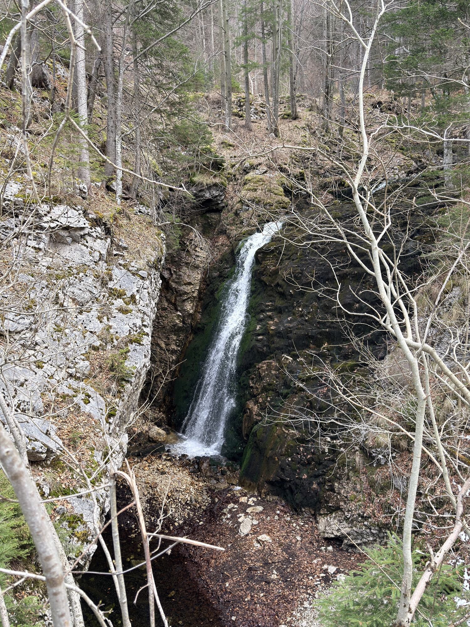
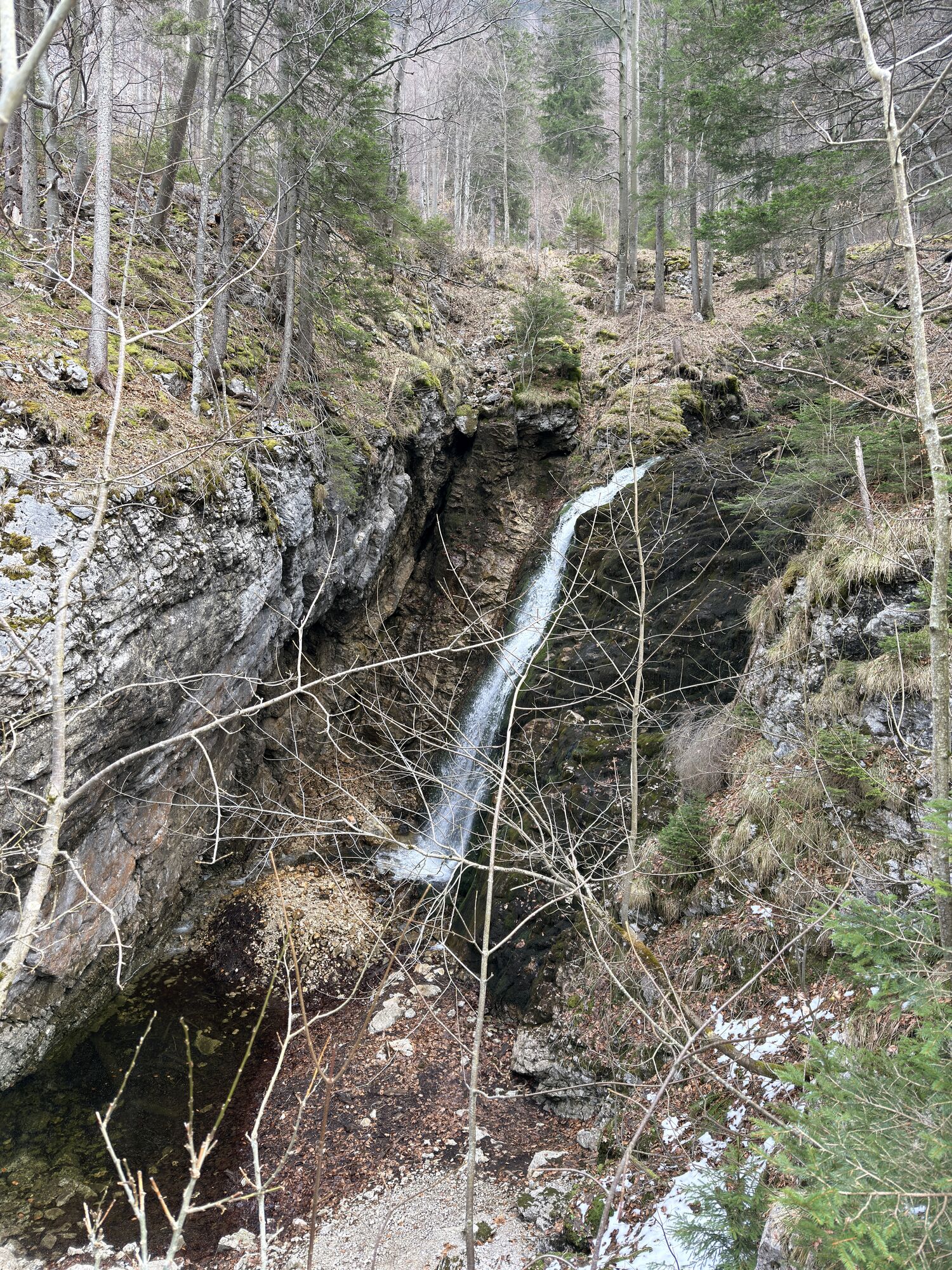
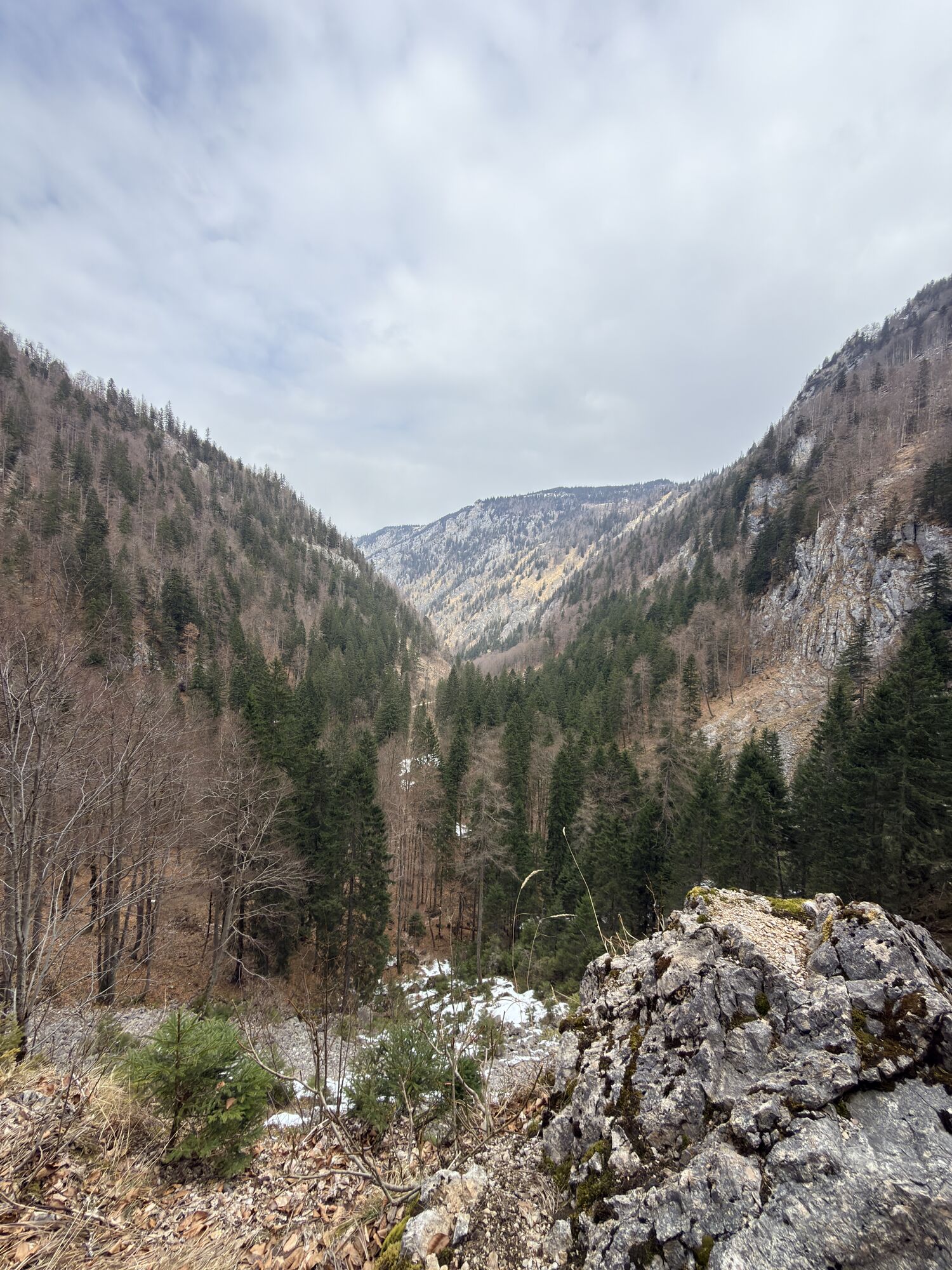
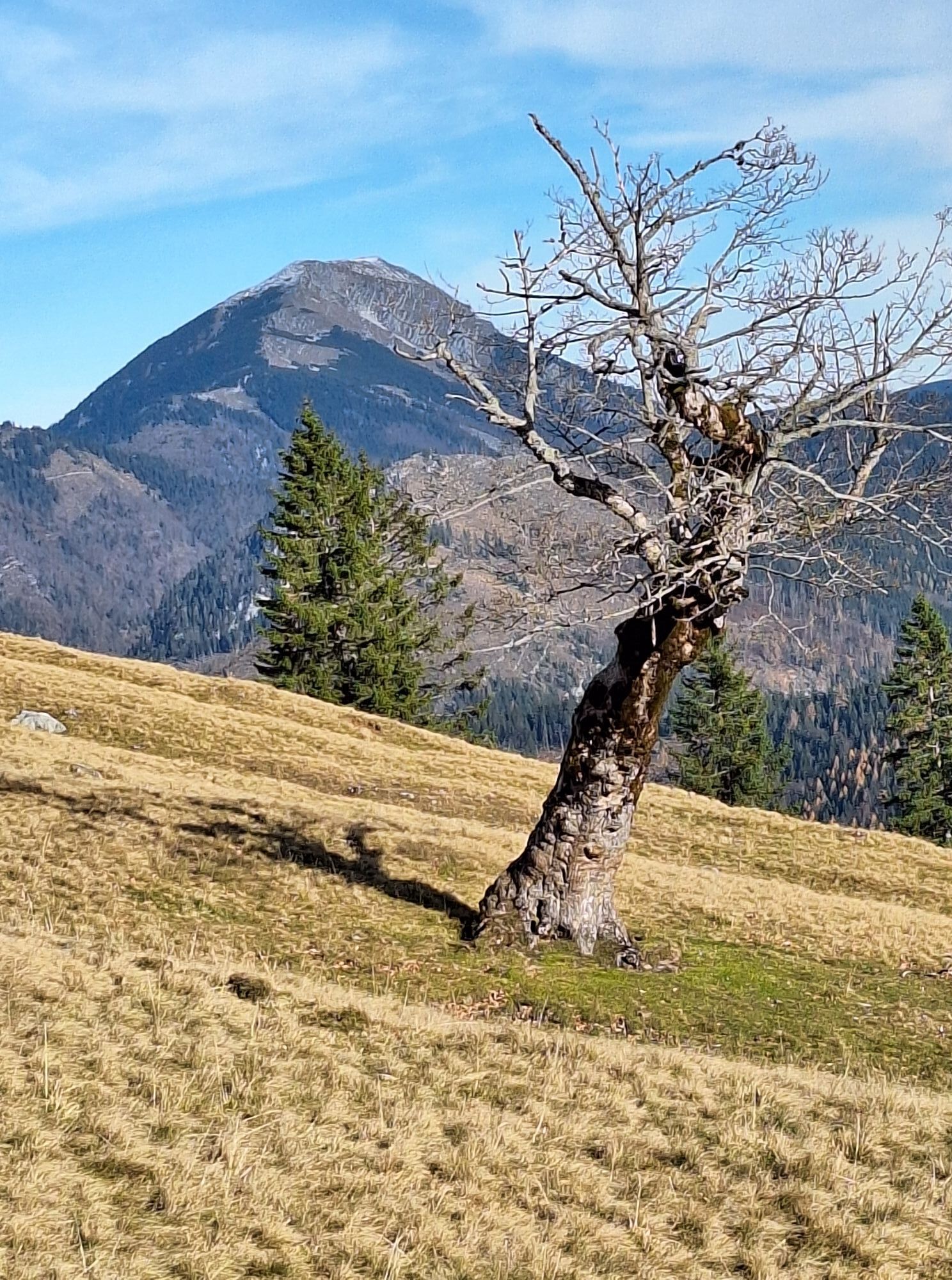
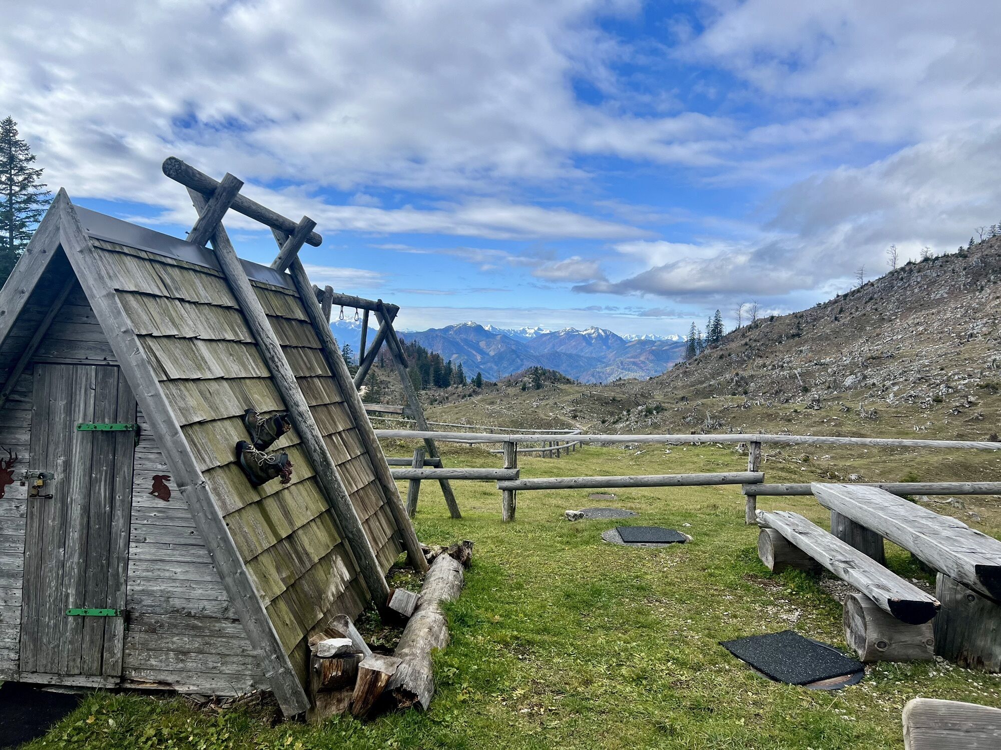
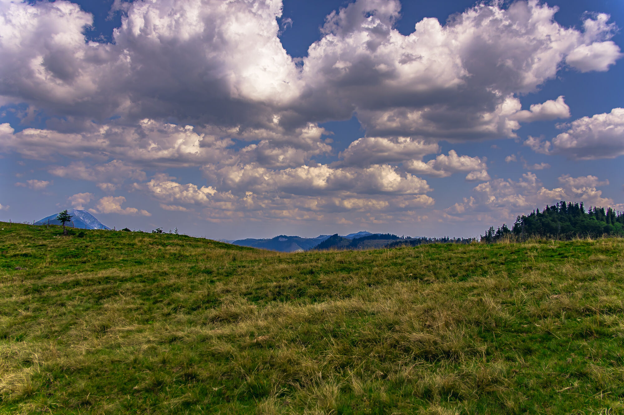
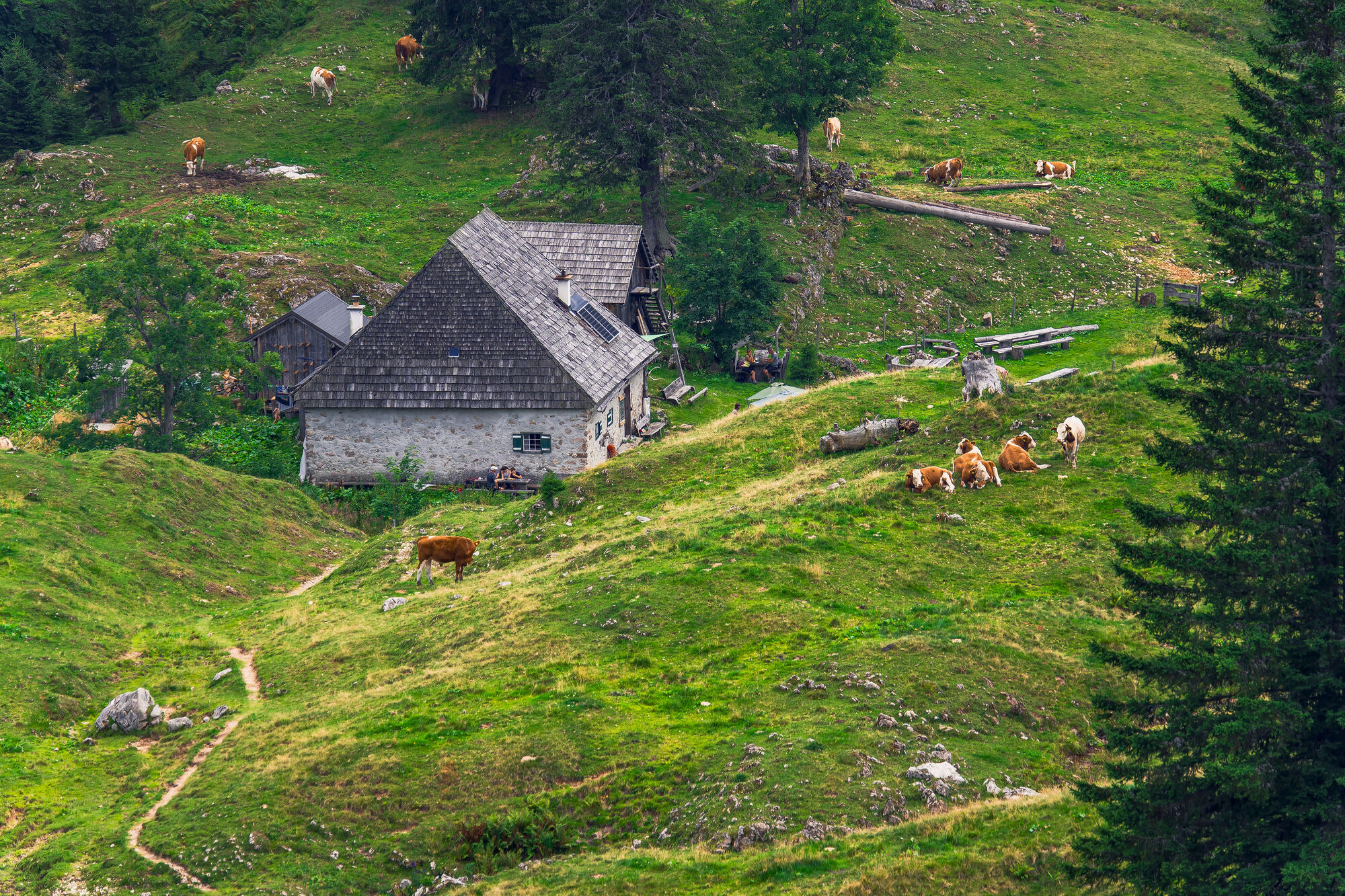
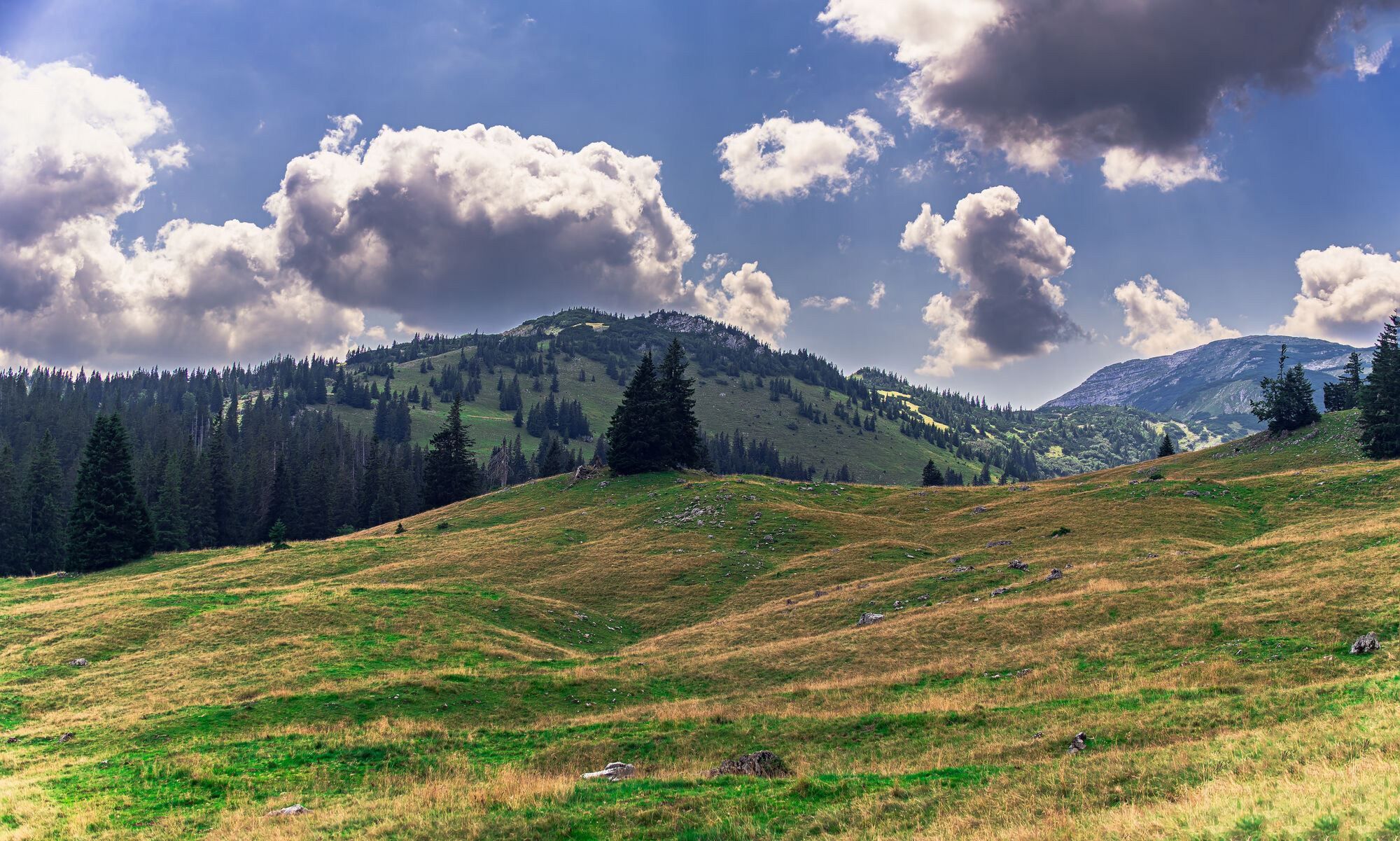
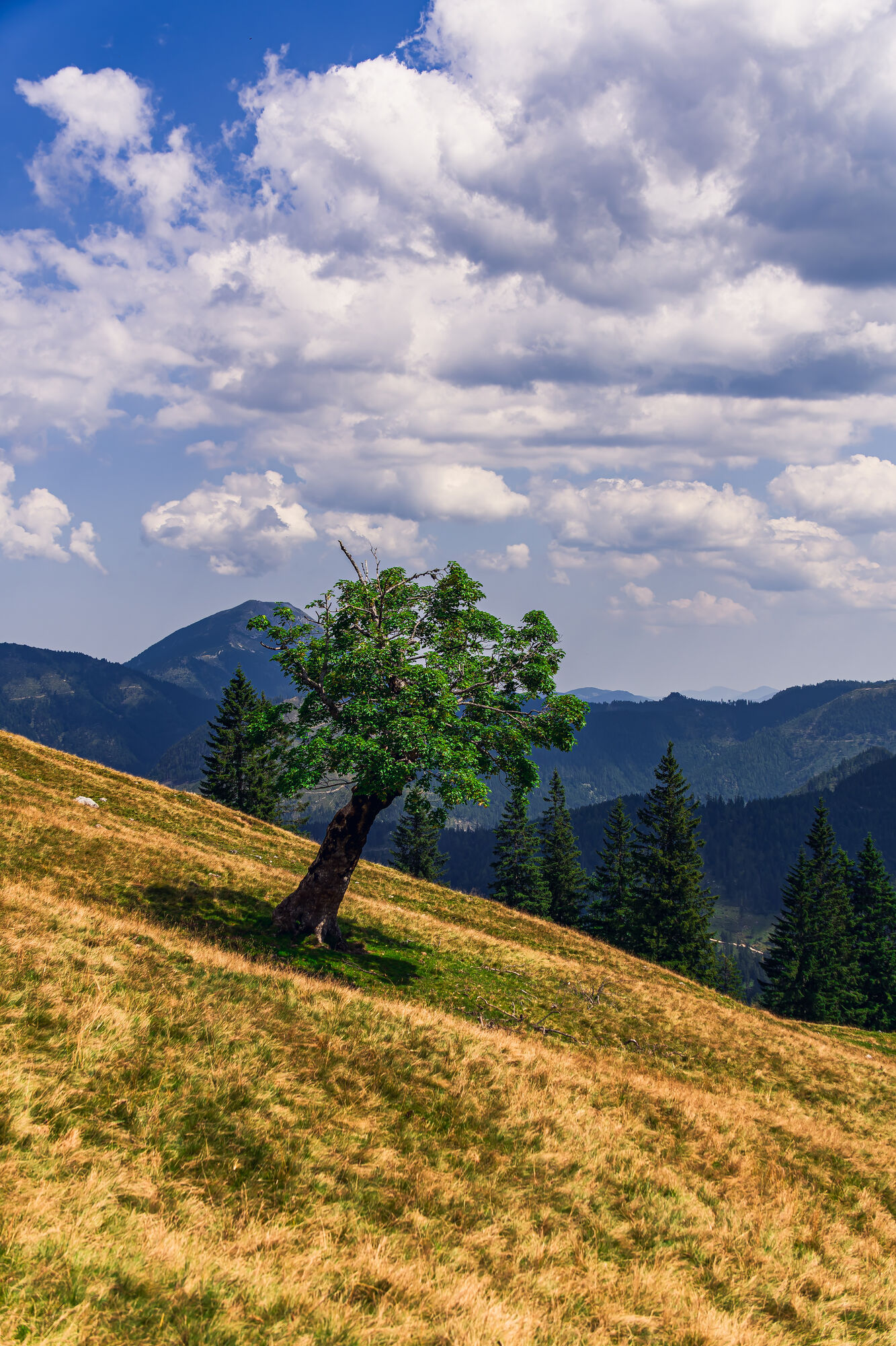

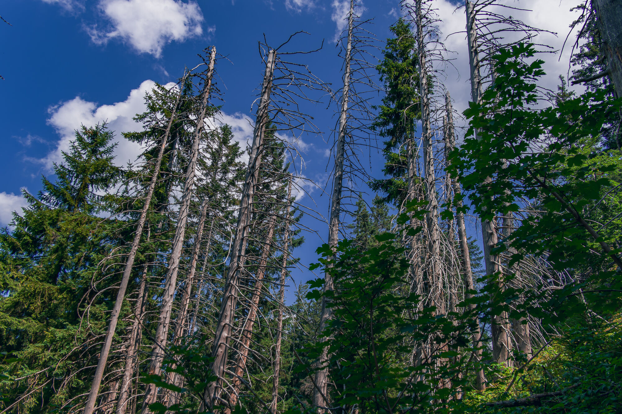
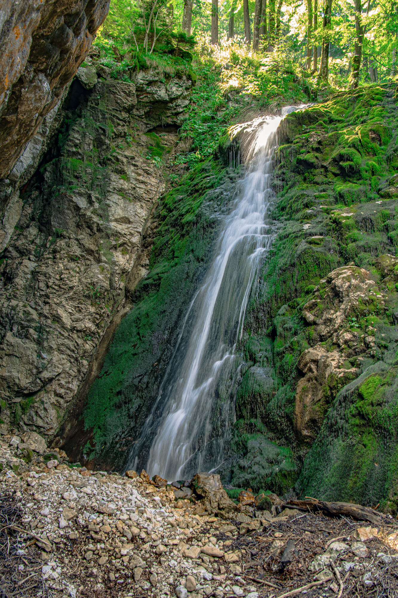

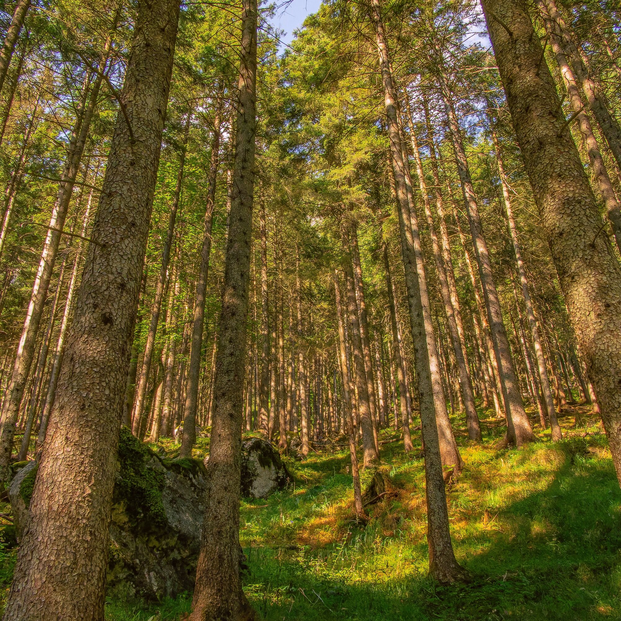
The trail leads past Seehof Castle through the Seebachtal valley towards Obersee. After about an hour, you reach the Mittersee with its crystal-clear spring water. It gets all the louder as soon as you...
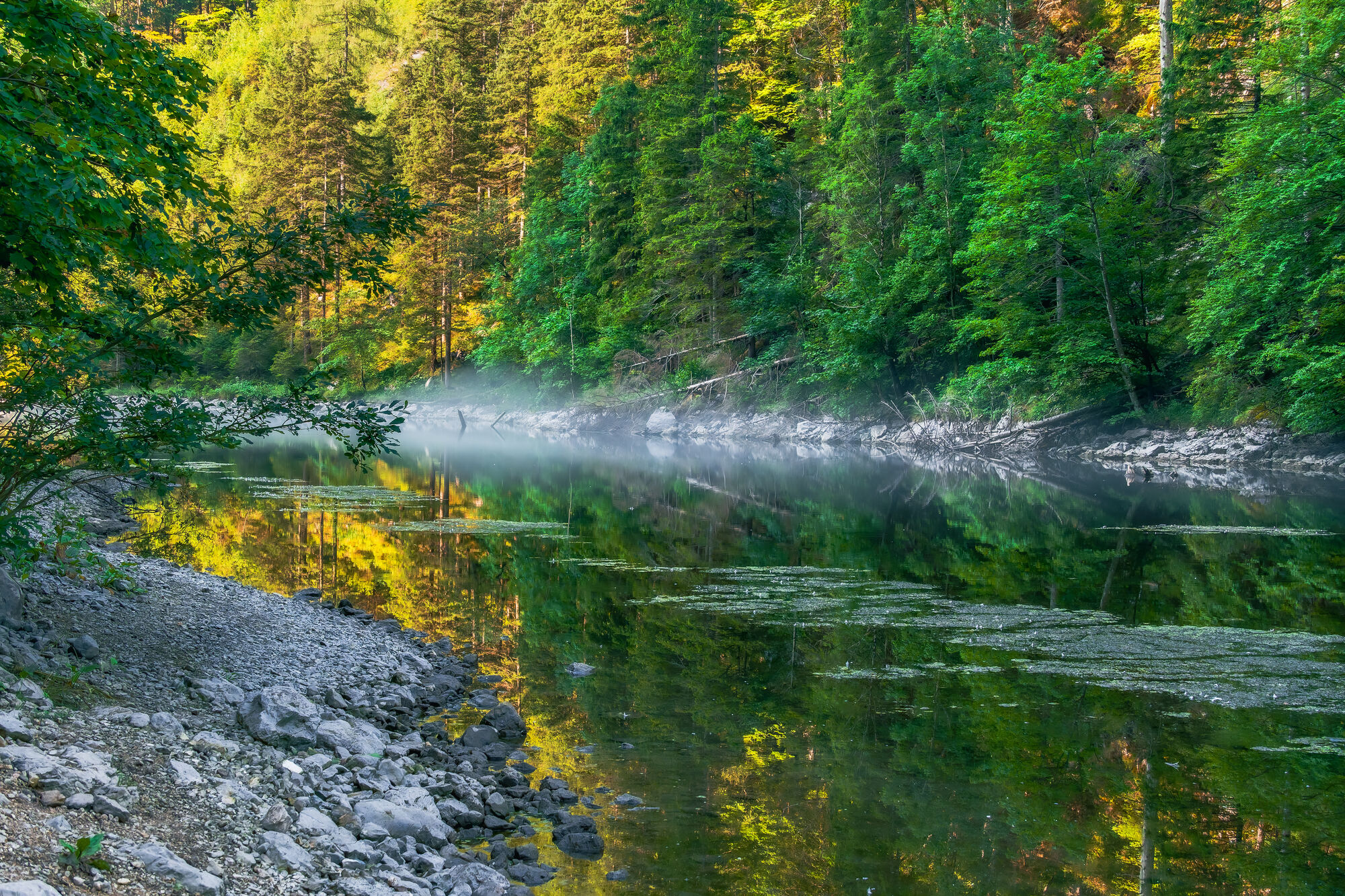
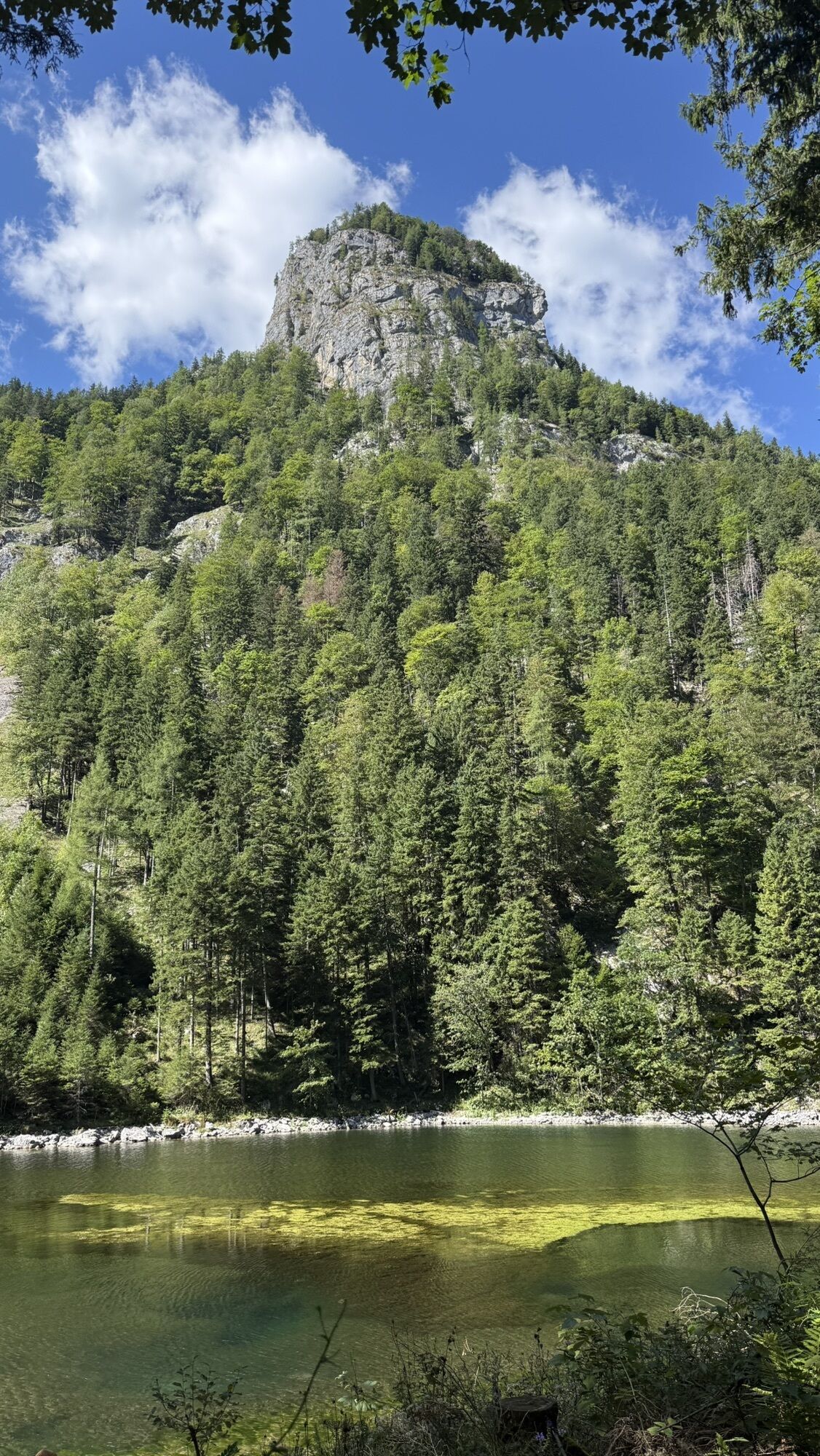
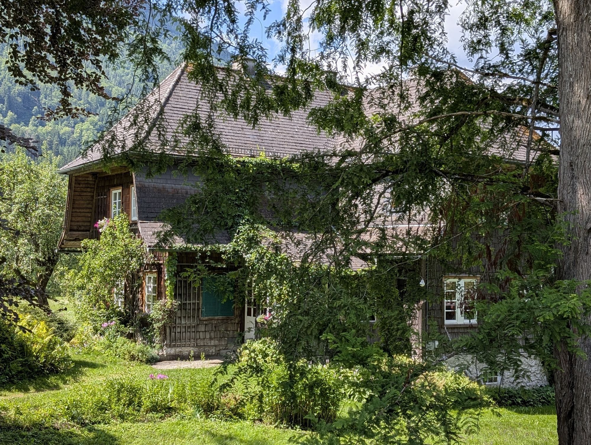
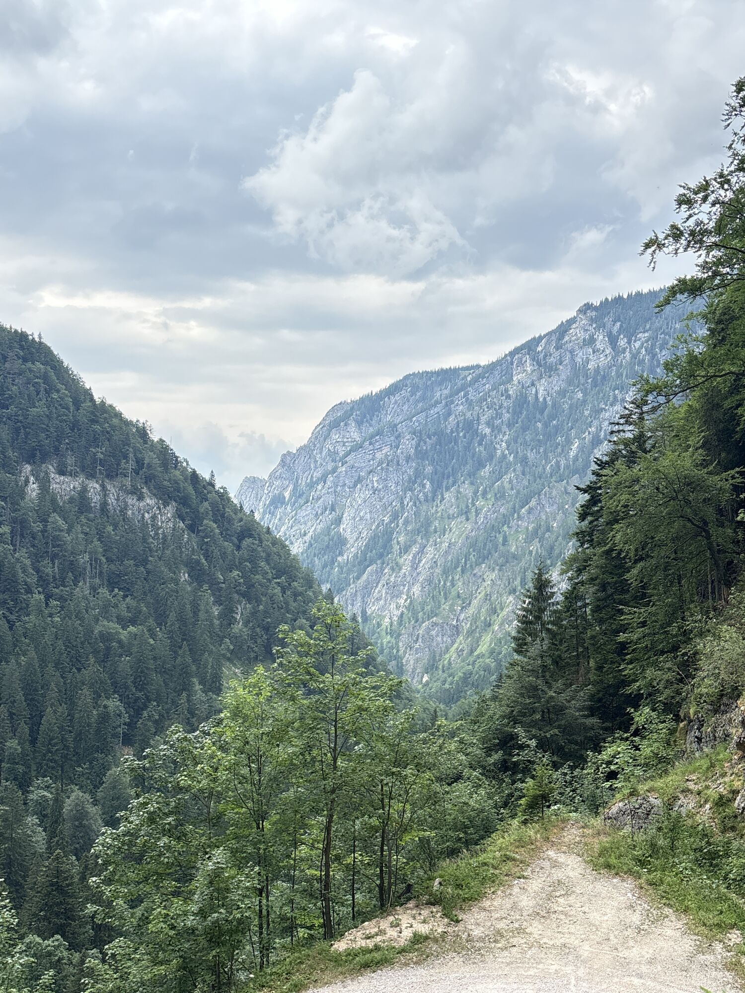
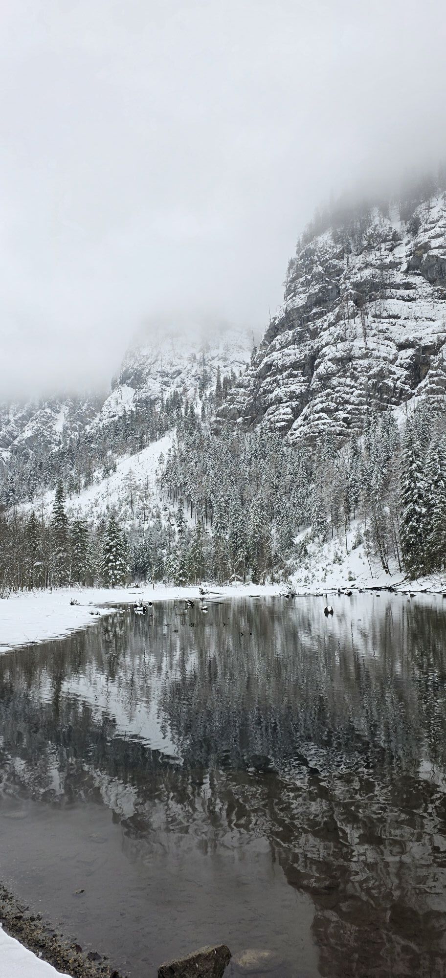
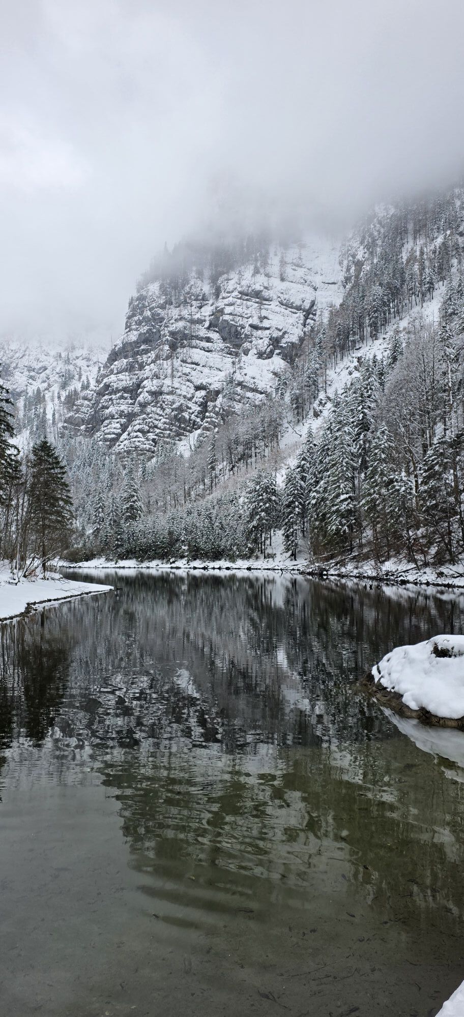
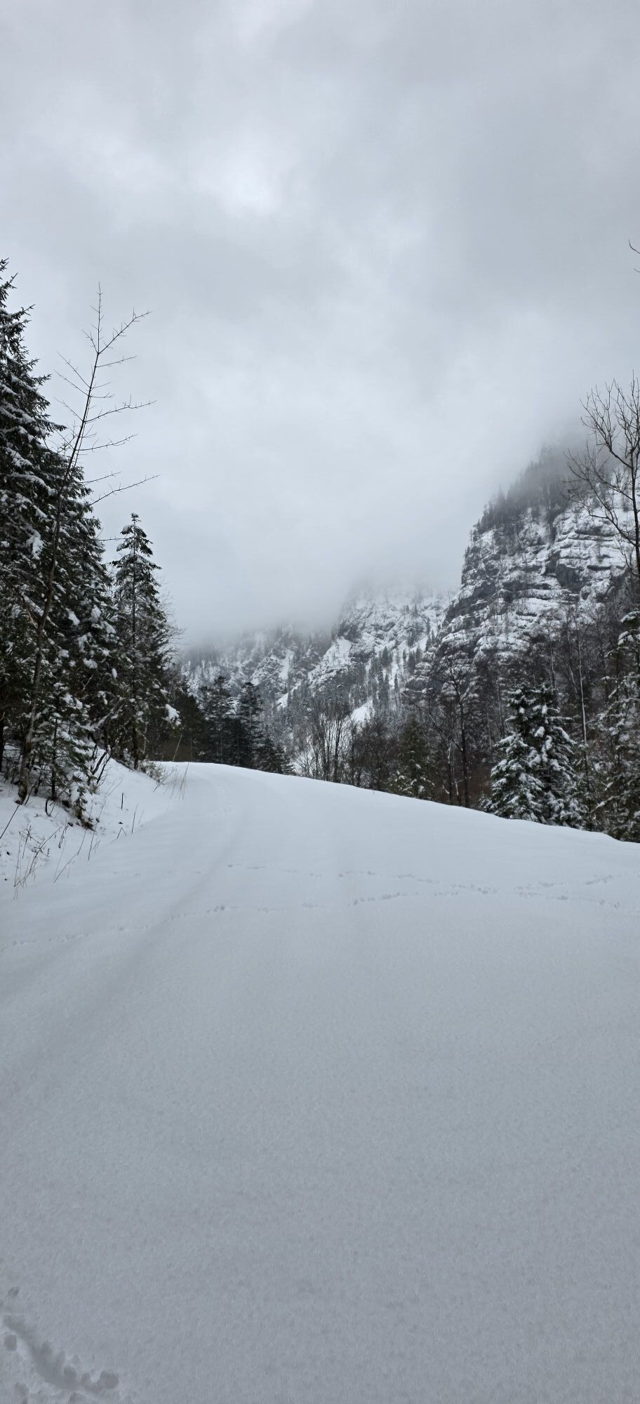
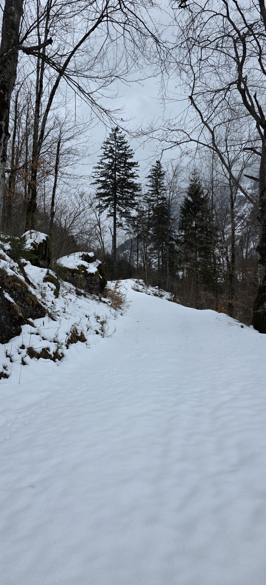
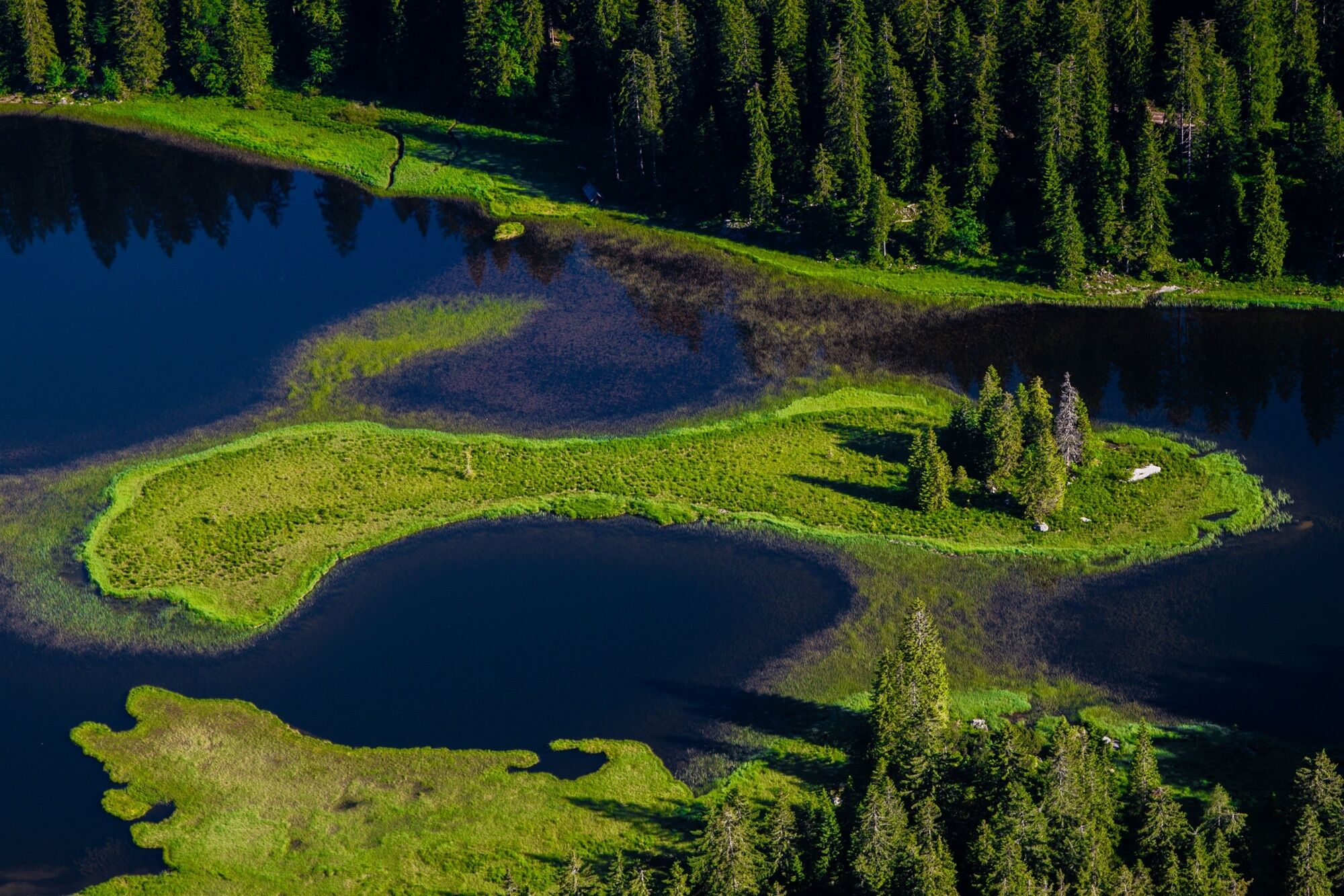
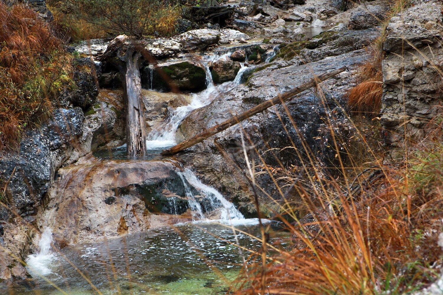
The trail leads past Seehof Castle through the Seebachtal valley towards Obersee. After about an hour, you reach the Mittersee with its crystal-clear spring water. It gets all the louder as soon as you pass the 60m high Ludwigfall and a little later the "roaring bull", an underground waterfall! Once you reach the mystical natural gem of Obersee, you will immediately sense that there are still numerous hidden natural treasures to discover here.
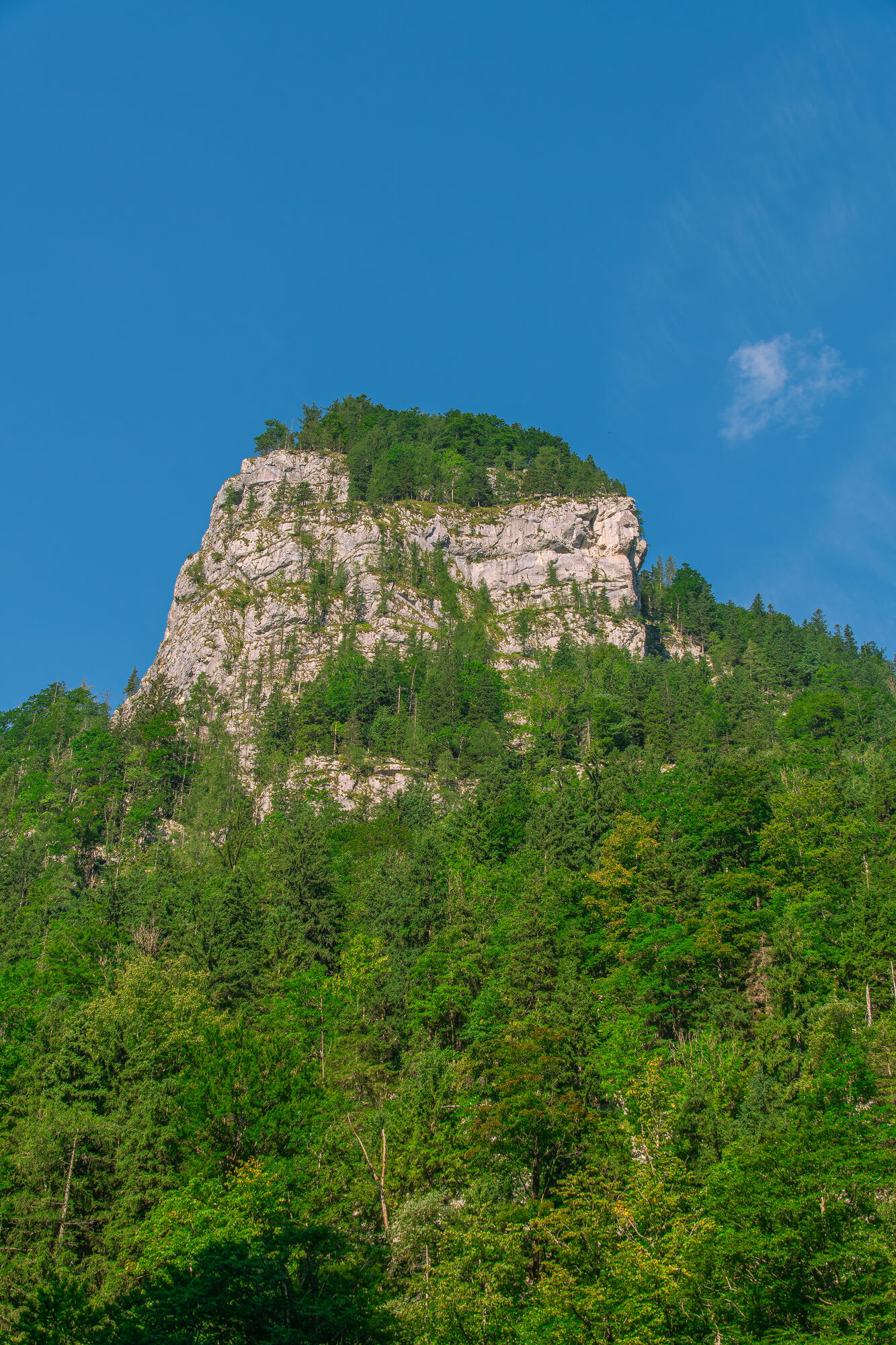
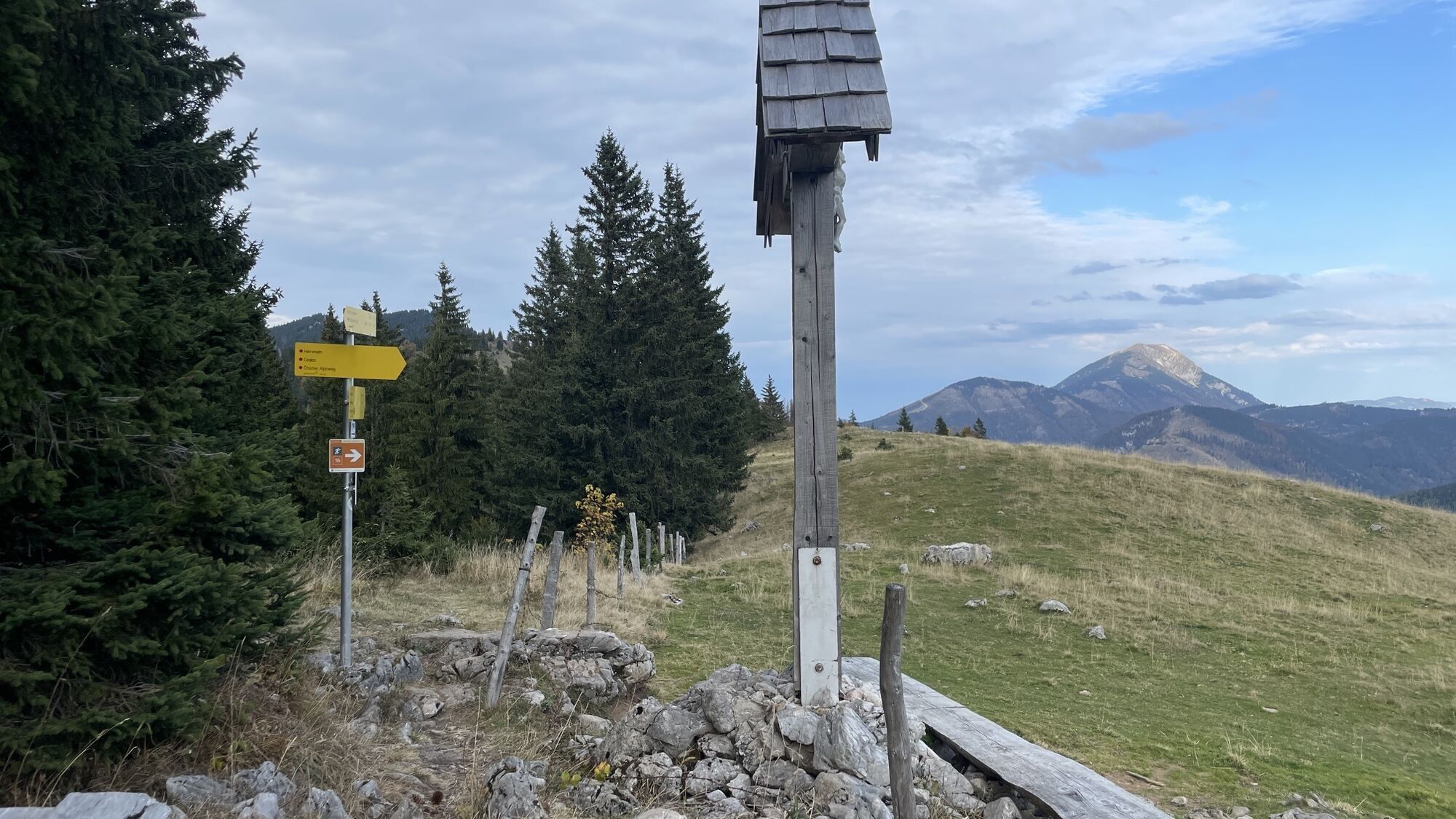
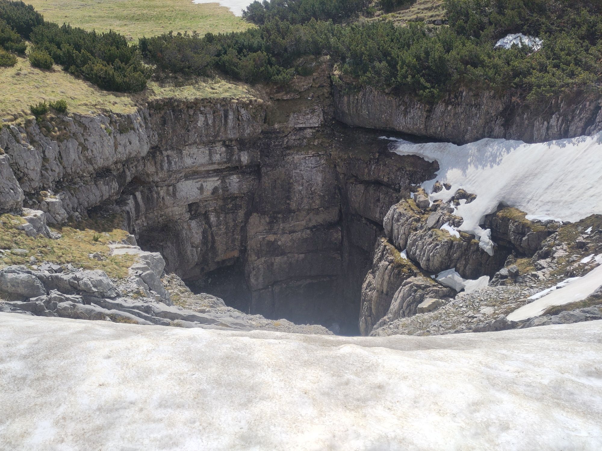
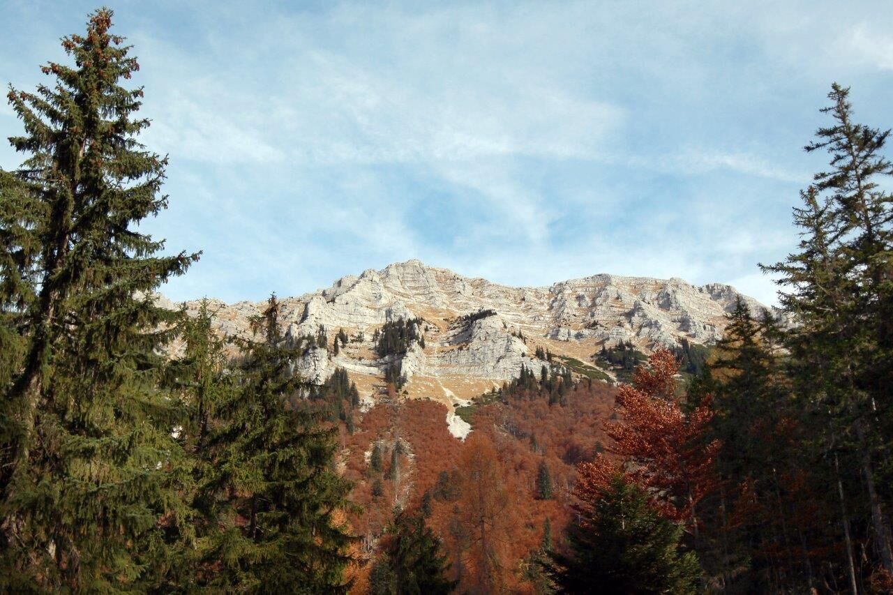
The following steep ascent to the Leonhardikreuz not far from the Herrenalm (temporarily closed) takes you past the "Großer Schneeloch" (huge shaft doline). Soon afterwards you will reach the Dürrenstein summit (1878 m) with its ornate Töpper cross.
The summit offers a breathtaking 360° panorama.
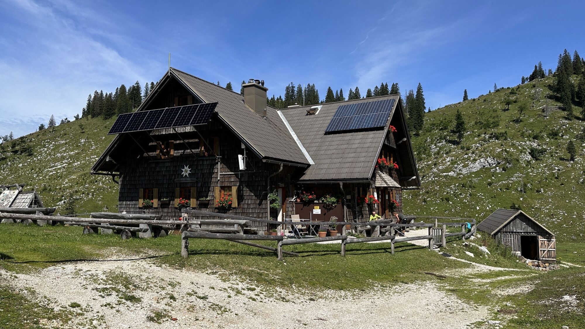
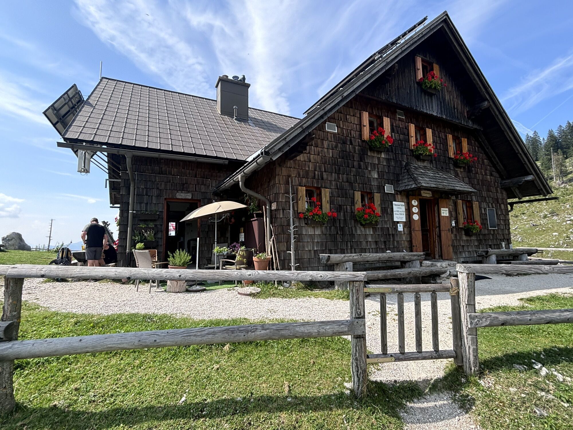
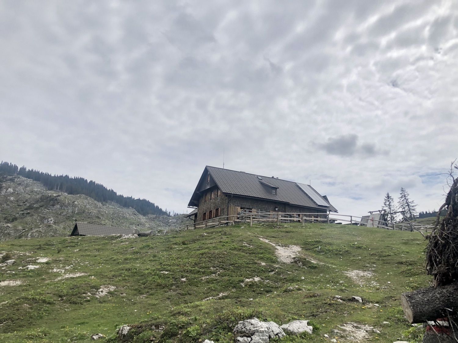
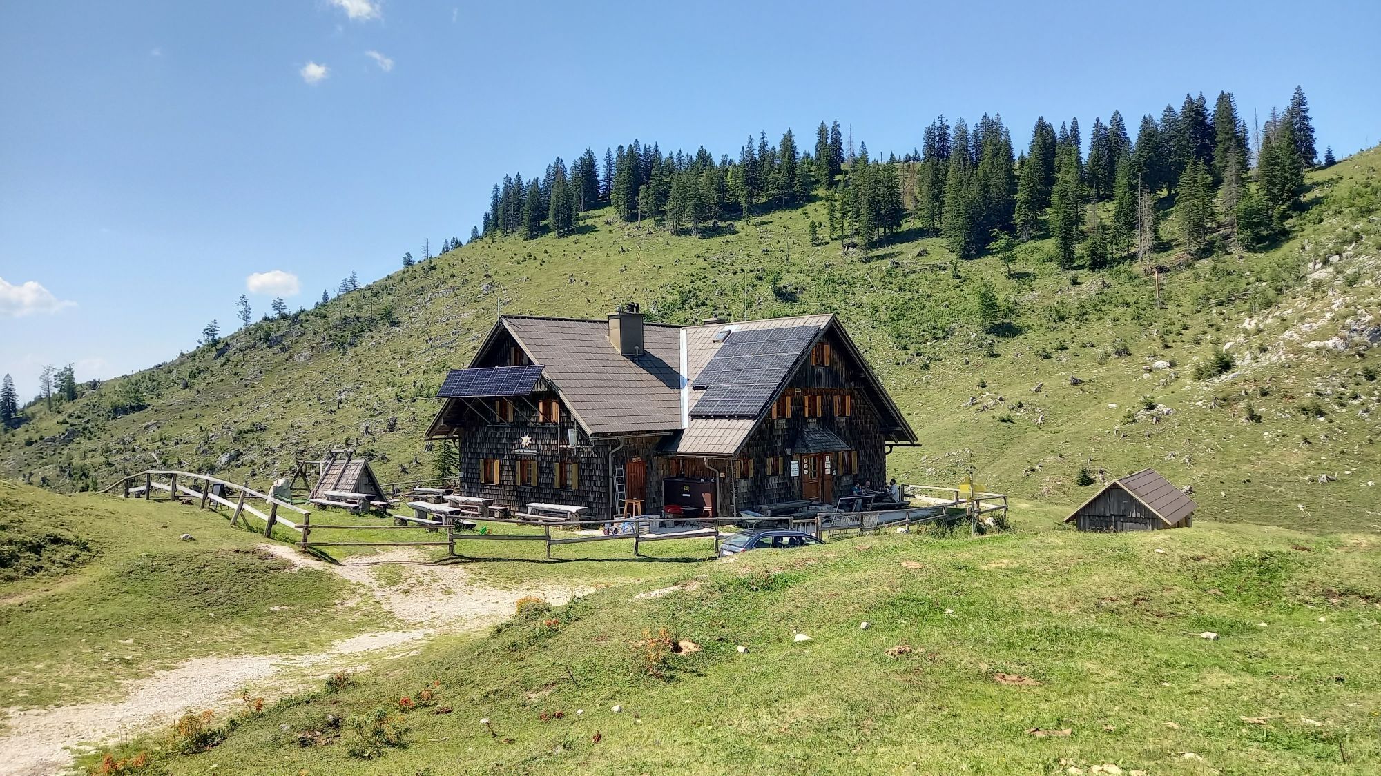
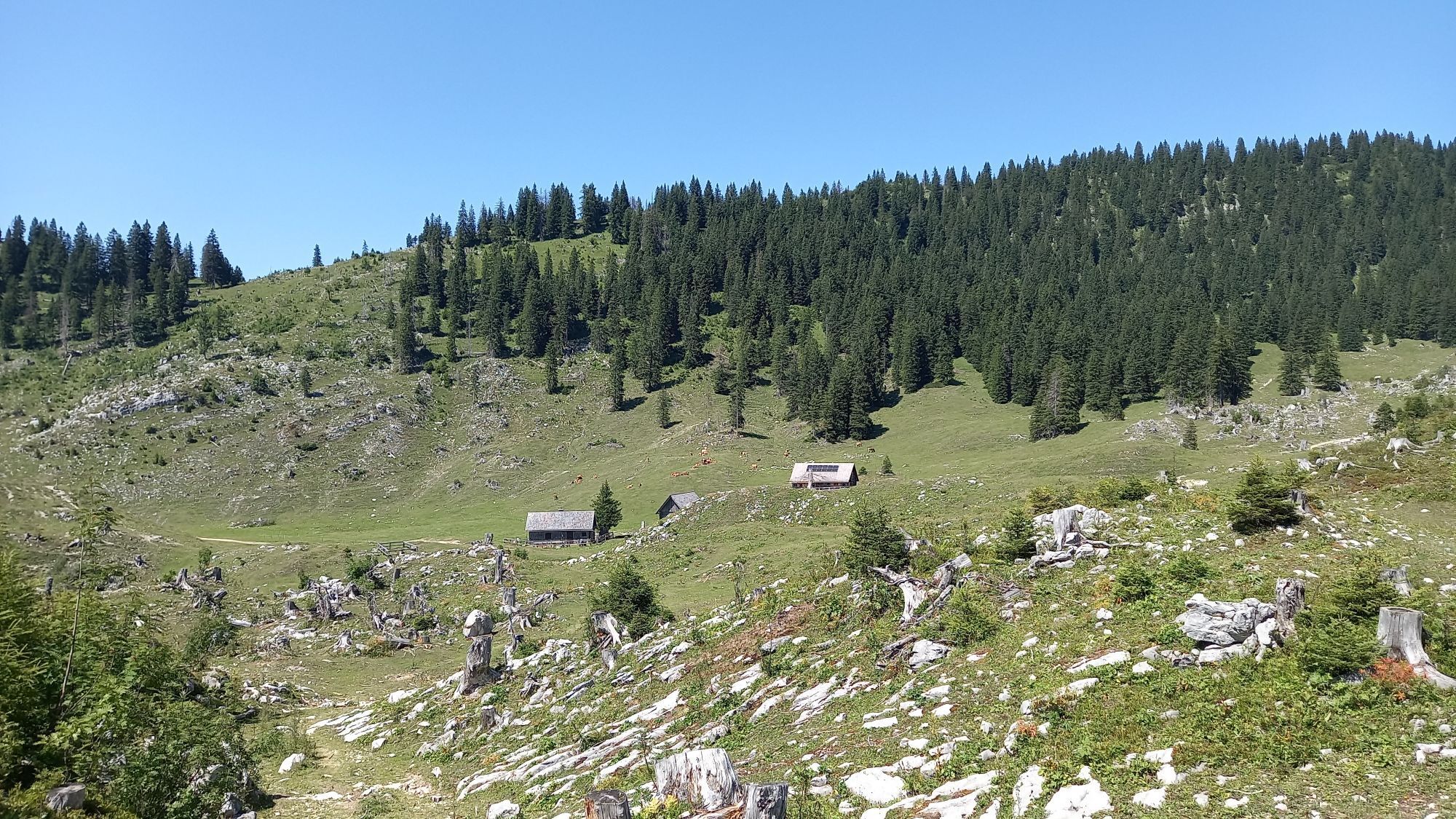
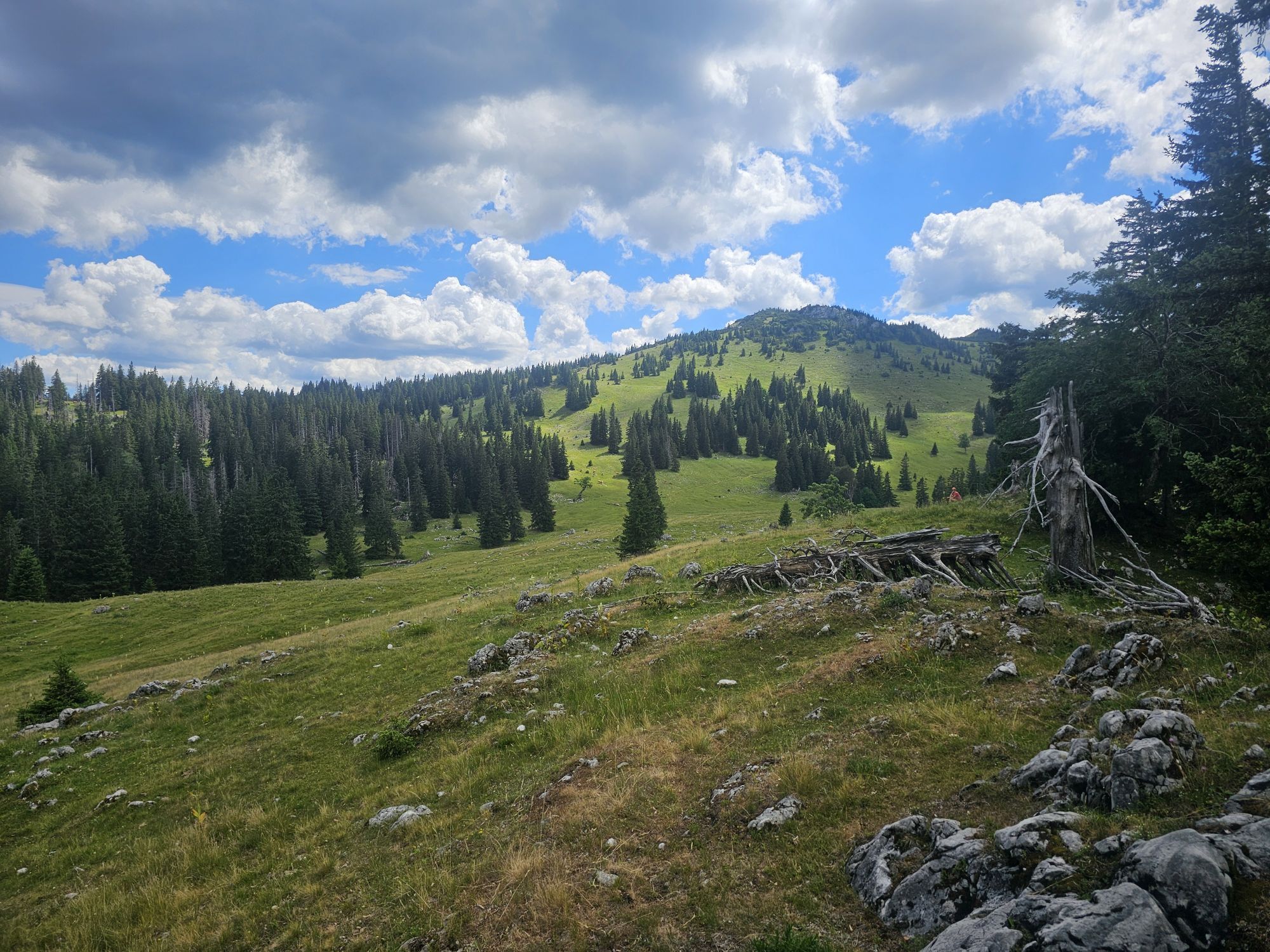
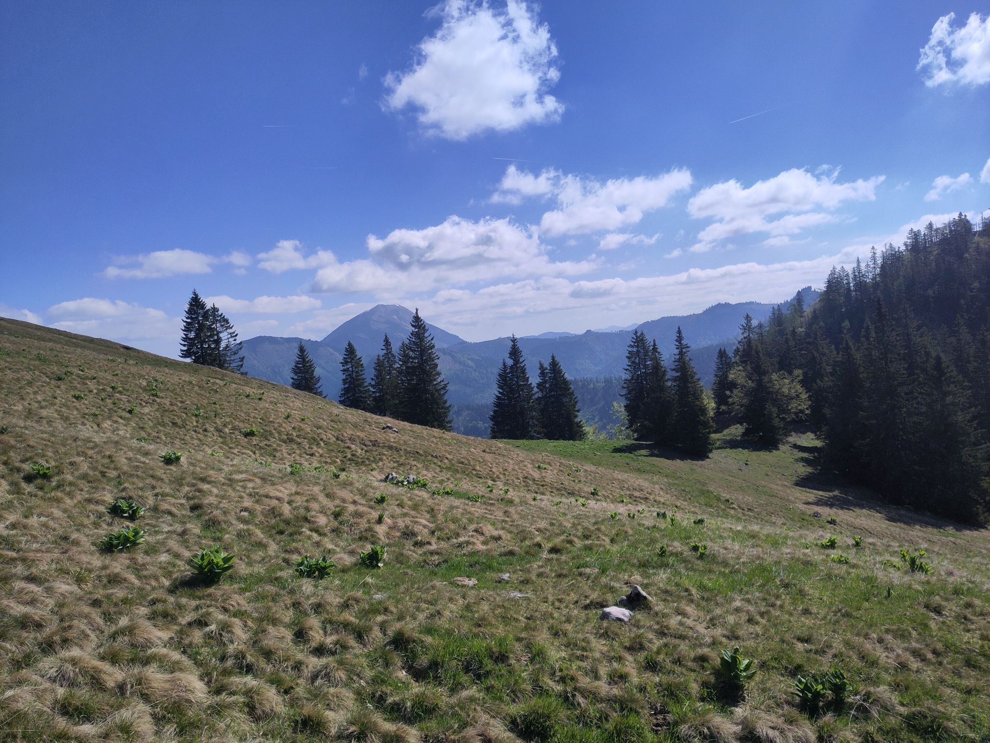
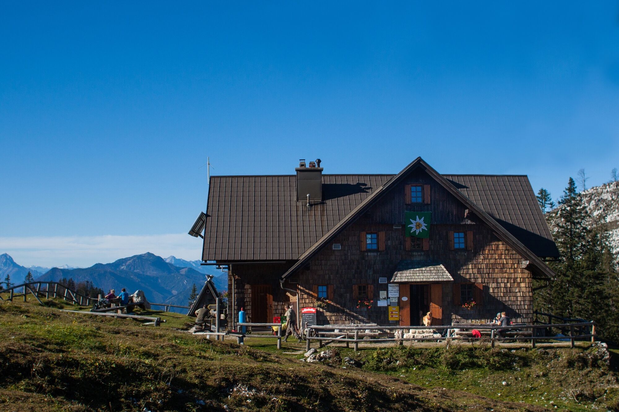
The descent leads across a karstic plateau with deep sinkholes and rich alpine flora, overgrown with krummholz and tall shrubs, to the Ybbstalerhütte.


Trail marking: 2
Mountain equipment required.
Recommended for experienced mountain hikers – good fitness required.
By car – from Linz, Salzburg, Munich or Vienna via the A1 to the Ybbs an der Donau exit – then continue via the B25 to Lunz am See
By bus & train – by train to Scheibbs or Waidhofen an der Ybbs and from there onwards by bus to Lunz am See
directly at the hiking start point
Tourism Office Ybbstaler Alps
Amonstraße 16, 3293 Lunz am See
T +43 7486 93049
E info@ybbstaler-alpen.at
www.ybbstaler-alpen.at
We recommend staying overnight at the Ybbstaler Hut. Various descent options are possible – the hut keeper will be happy to advise you!


Kamery internetowe z trasy
Uzyskaj wgląd
Zawsze na żywo z ponad 9 500 kamer internetowych. bergfex Jako użytkownik Pro, możesz teraz zobaczyć odpowiednie kamery internetowe dla wielu wycieczek w aplikacji wycieczki od. Pozwala to na bezpośredni podgląd aktualnych warunków.
Aktywności na trasie
-

Lunz am See, Niederösterreich/Österreich
04.09.2026 – Wędrówka -

Lunz am See, Niederösterreich/Österreich
02.09.2026 – Wędrówka -

Lunz am See, Niederösterreich/Österreich
30.08.2026 – Wędrówka -
Lunz - Mittersee und Obersee
27.08.2026 – Wędrówka -
Lunz am See, Niederösterreich/Österreich
11.08.2026 – Wędrówka -
Lunz am See, Niederösterreich/Österreich
31.07.2026 – Wycieczki górskie -

Dürrenstein über Obersee
26.07.2026 – Wędrówka -
Lunz am See, Niederösterreich/Österreich
22.07.2026 – Wędrówka -

Lunz am See, Niederösterreich/Österreich
13.07.2026 – Jazda na rowerze -
Göstling an der Ybbs, Niederösterreich/Österreich
11.07.2026 – Wędrówka -
Lunz am See, Niederösterreich/Österreich
09.07.2026 – Wędrówka -
Dürrenstein, Niederösterreich/Österreich
28.06.2026 – Wędrówka -
Lunz am See, Niederösterreich/Österreich
27.06.2026 – Wędrówka -
Lunz am See, Lower Austria/Austria
23.06.2026 – Wędrówka -
Lunz am See, Lower Austria/Austria
23.06.2026 – Wędrówka -

Lunz am See, Niederösterreich/Österreich
20.06.2026 – Wędrówka -

Lunz am See, Niederösterreich/Österreich
04.06.2026 – Wędrówka -
Lunz zu Obersee zu Herrenalm Runde
29.05.2026 – Wędrówka -

Lunz am See, Niederösterreich/Österreich
25.05.2026 – Wycieczki górskie -
Lunz am See, Lower Austria/Austria
24.05.2026 – Wędrówka
Popularne wycieczki w okolicy
-
4,4
Das 3 Seen-Erlebnis (Lunzer See - Mittersee - Obersee)
średniWędrówka 9,33 km -
4,7
Hochkar - Schmalzmauer - Geißhöhe - Ringkogel - Schwarzalmhütte - Brunneckerhütte
średniWędrówka 13,2 km -
4,3
Rund um den smaragdgrünen Lunzer See
światłoWędrówka 4,80 km -
4,7
Gemeindealpe
średniWędrówka 13,5 km -
5,0
Von Lackenhof auf den Ötscher
światłoWędrówka 5,29 km -
4,9
Panoramic summit Maiszinken - alpine experience included
średniWędrówka 12,6 km -
4,9
Lassingfall - Ötscherhias - Erlaufklause
średniWędrówka 8,20 km -
4,9
Lackenhof ÖTSCHER Rauer Kamm 19.10.2014
ciężkiWędrówka 14,1 km -
4,7
Erlaufsee-Rundweg
światłoWędrówka 5,37 km -
4,6
Ötschergräben Runde über Wienerbruck, Josefsberg und Erlaufsee
światłoWędrówka 16,8 km
Wędrówki i tropienie


Nie przegap ofert i inspiracji na następne wakacje
Twój adres e-mail została dodana do listy mailingowej.





