






The Ötscher summit

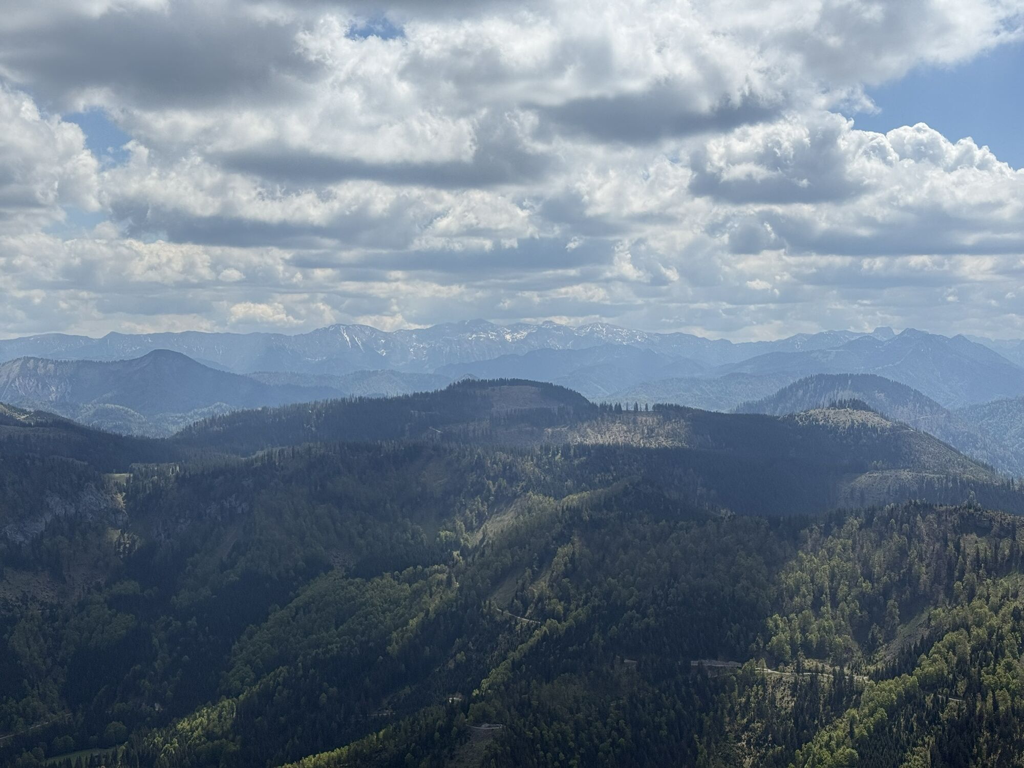
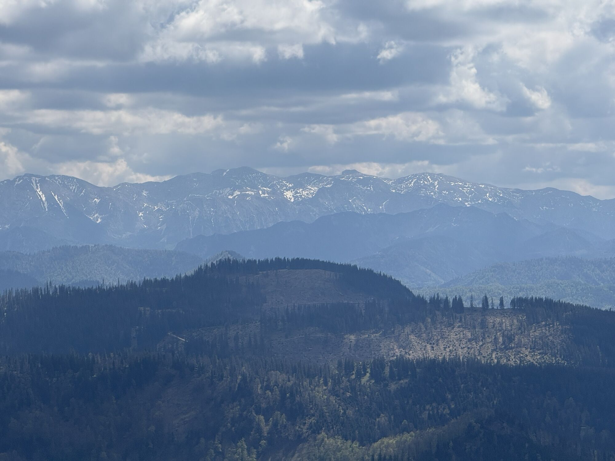
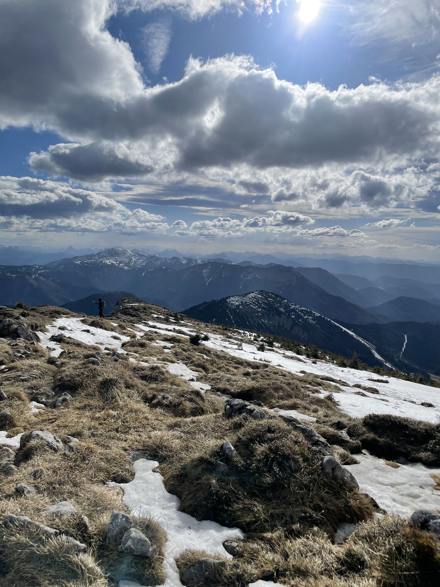
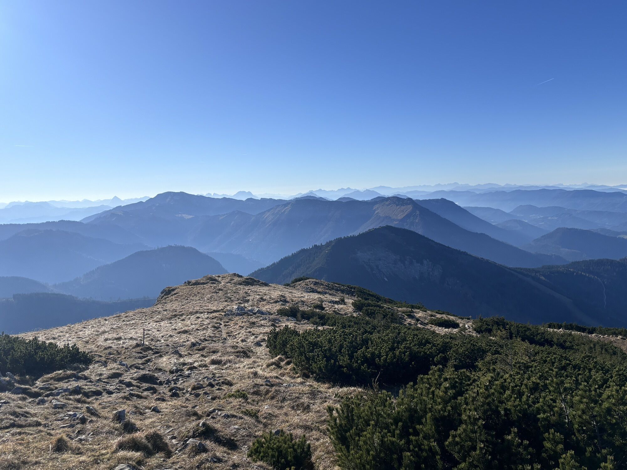
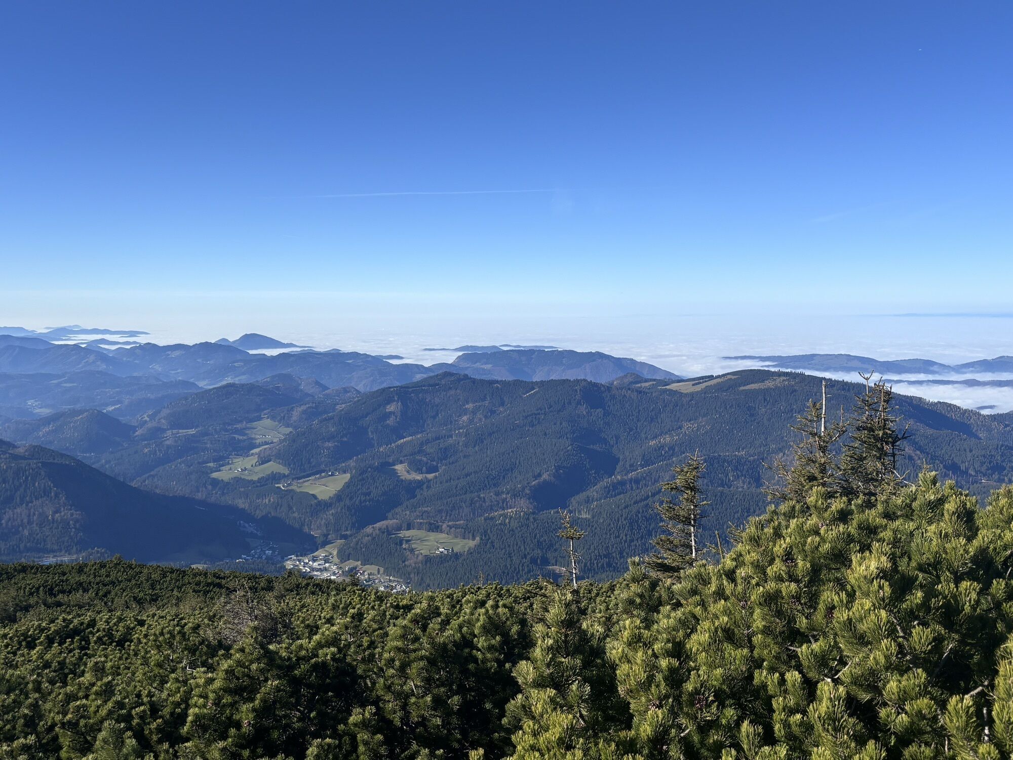
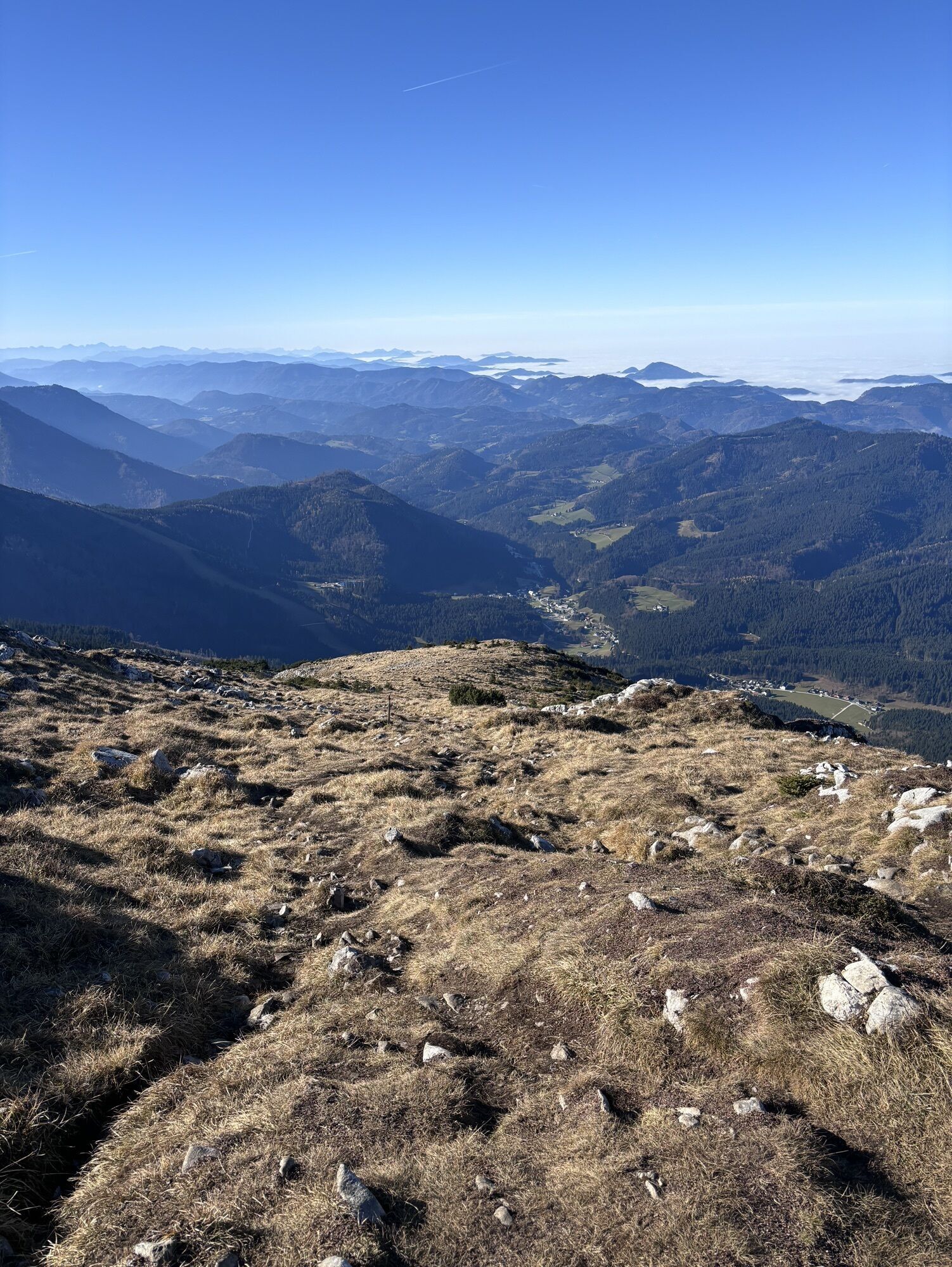
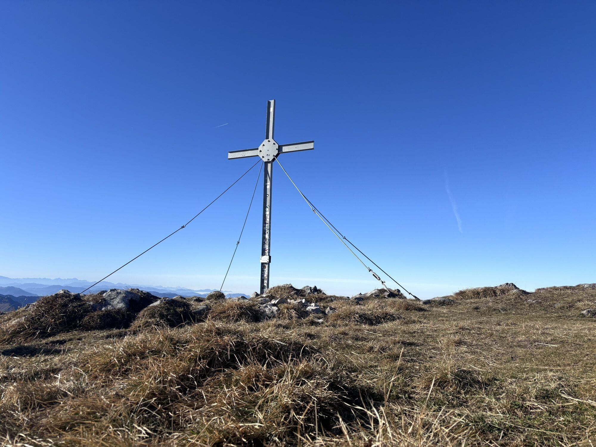
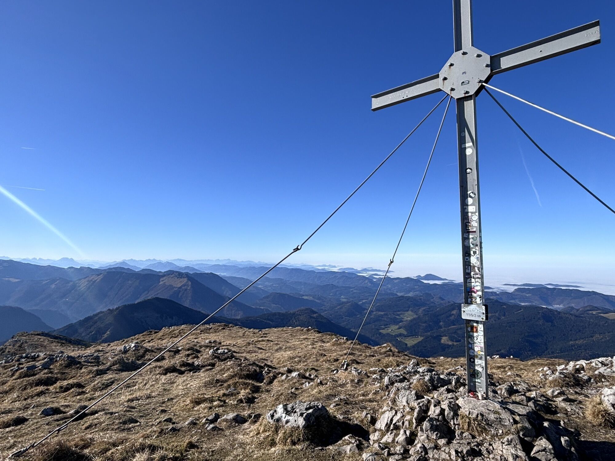
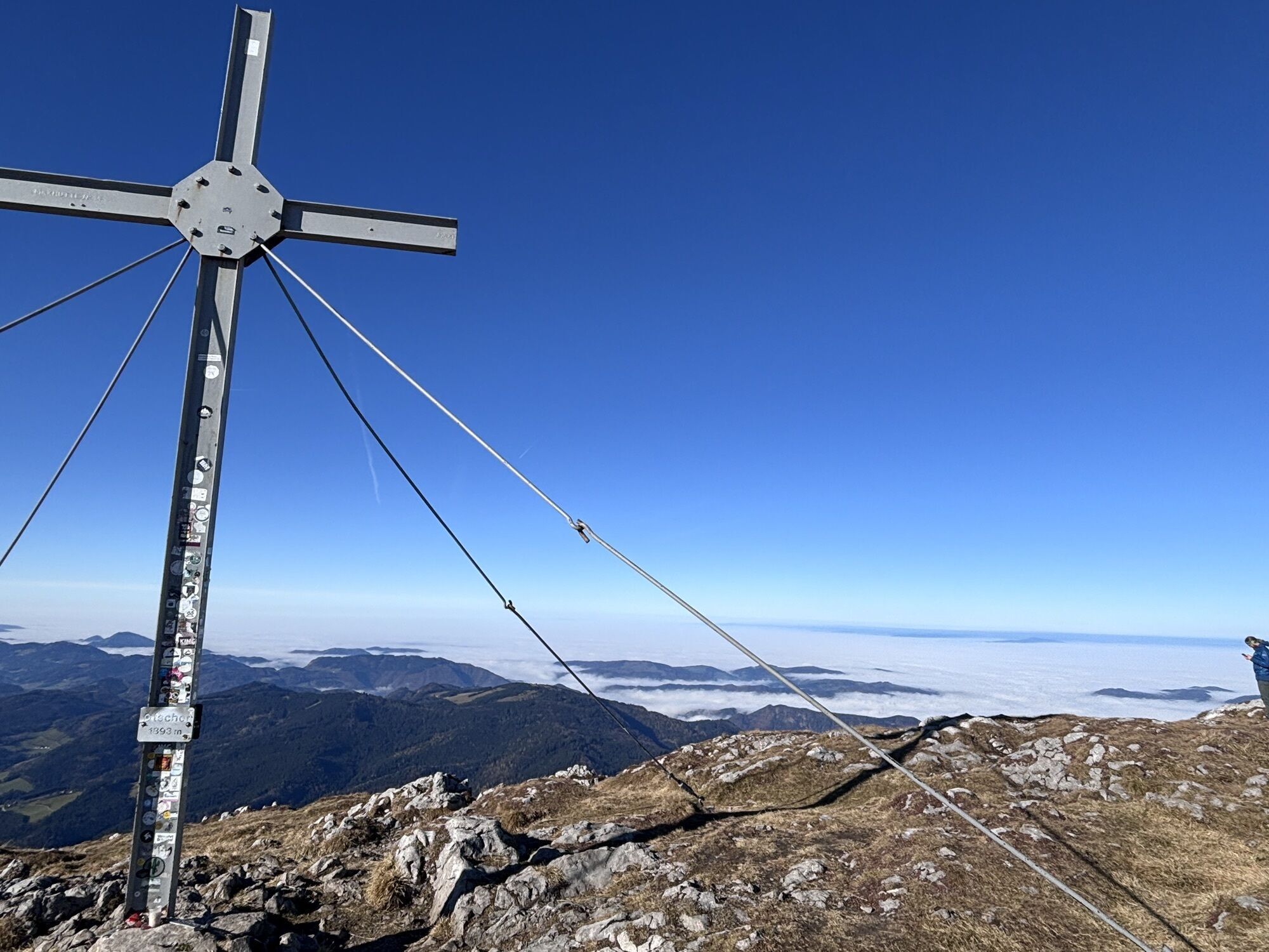
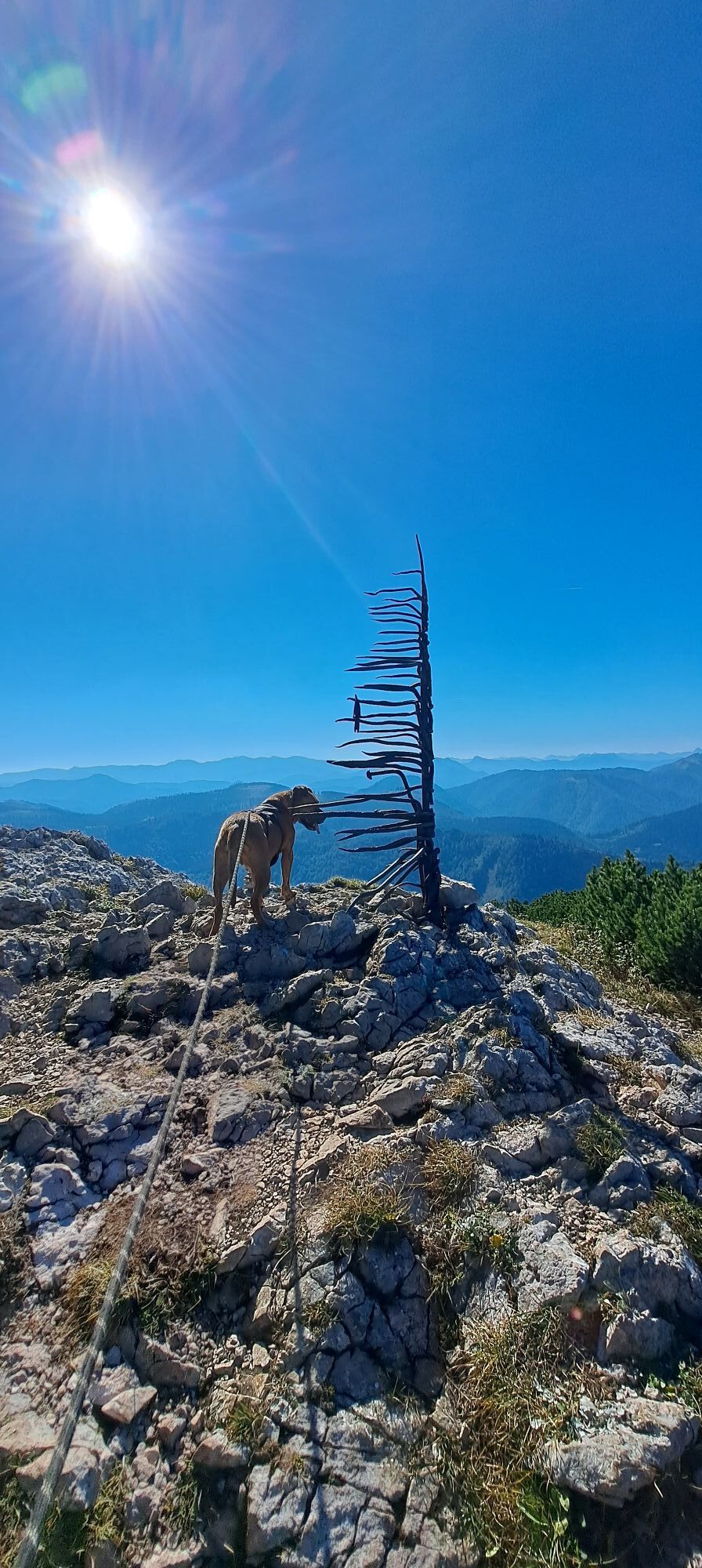
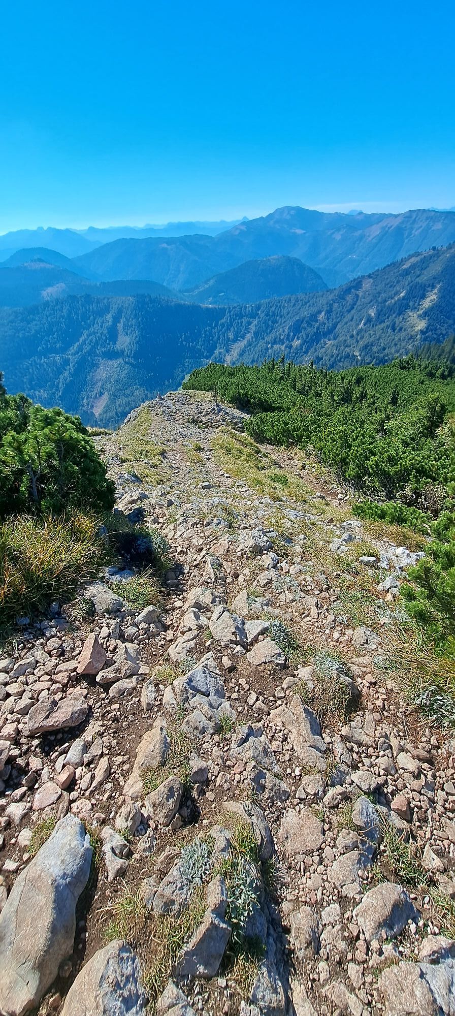
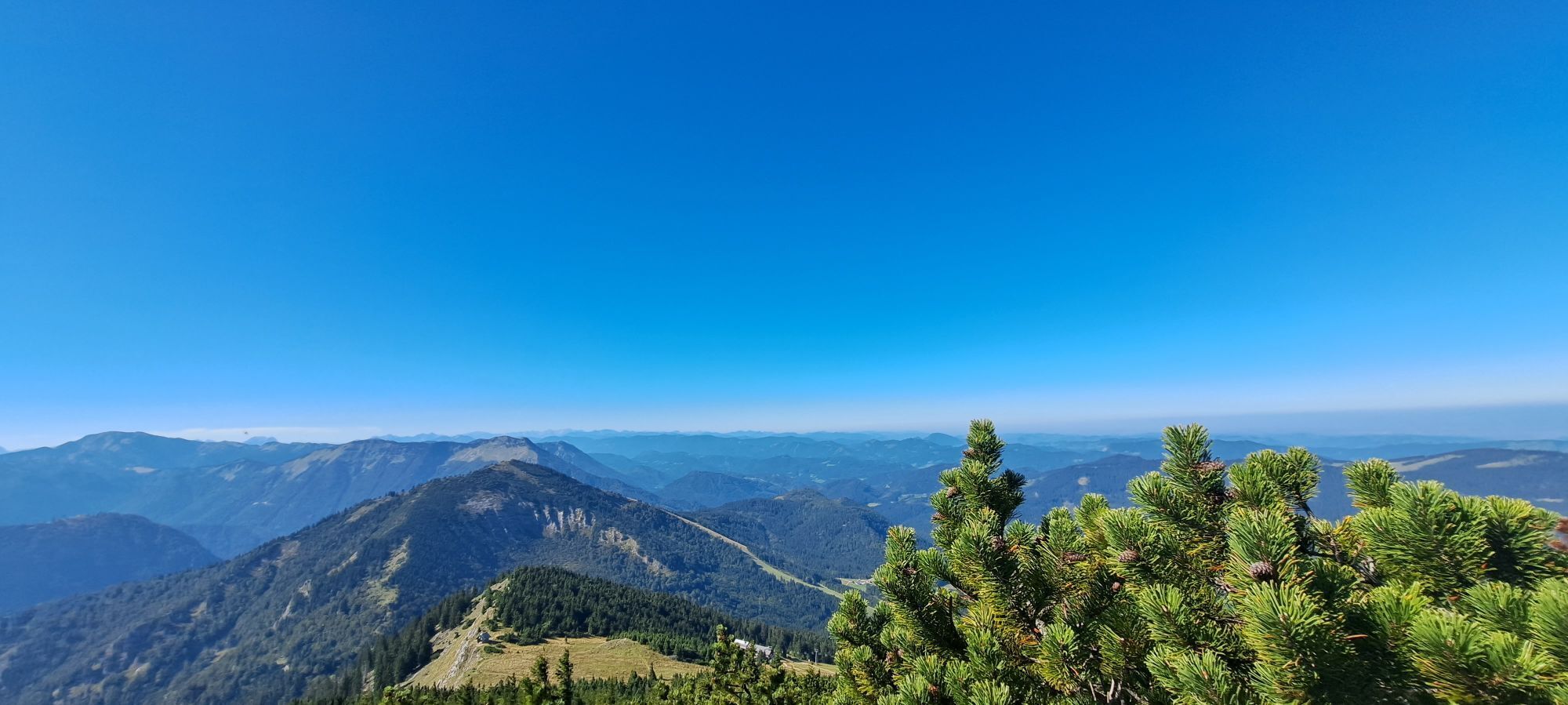
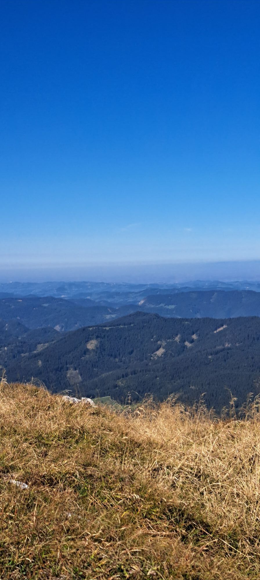
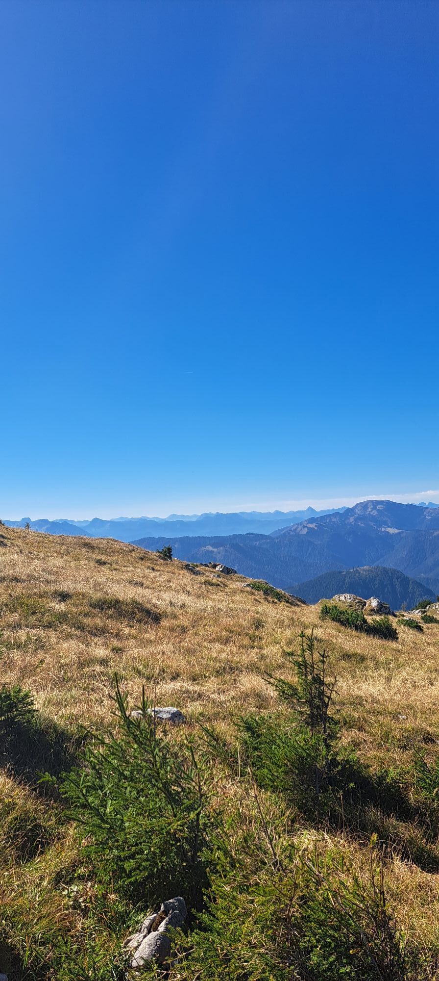
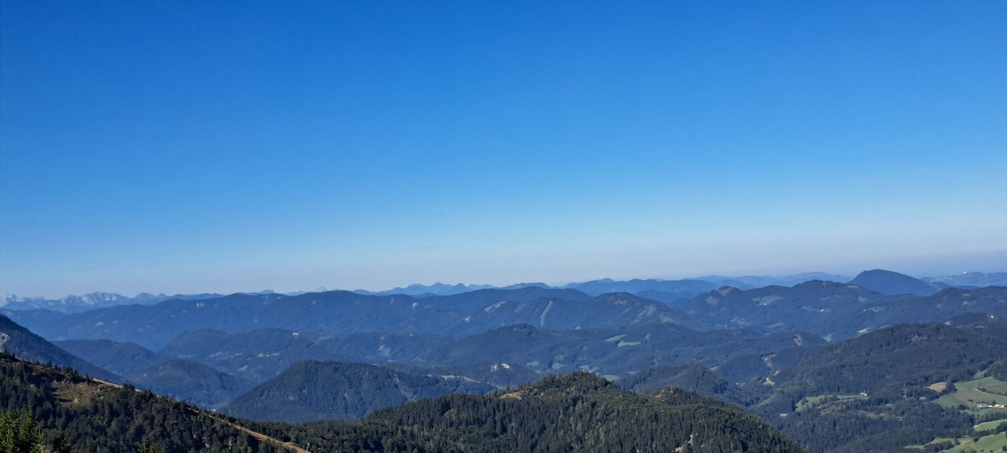
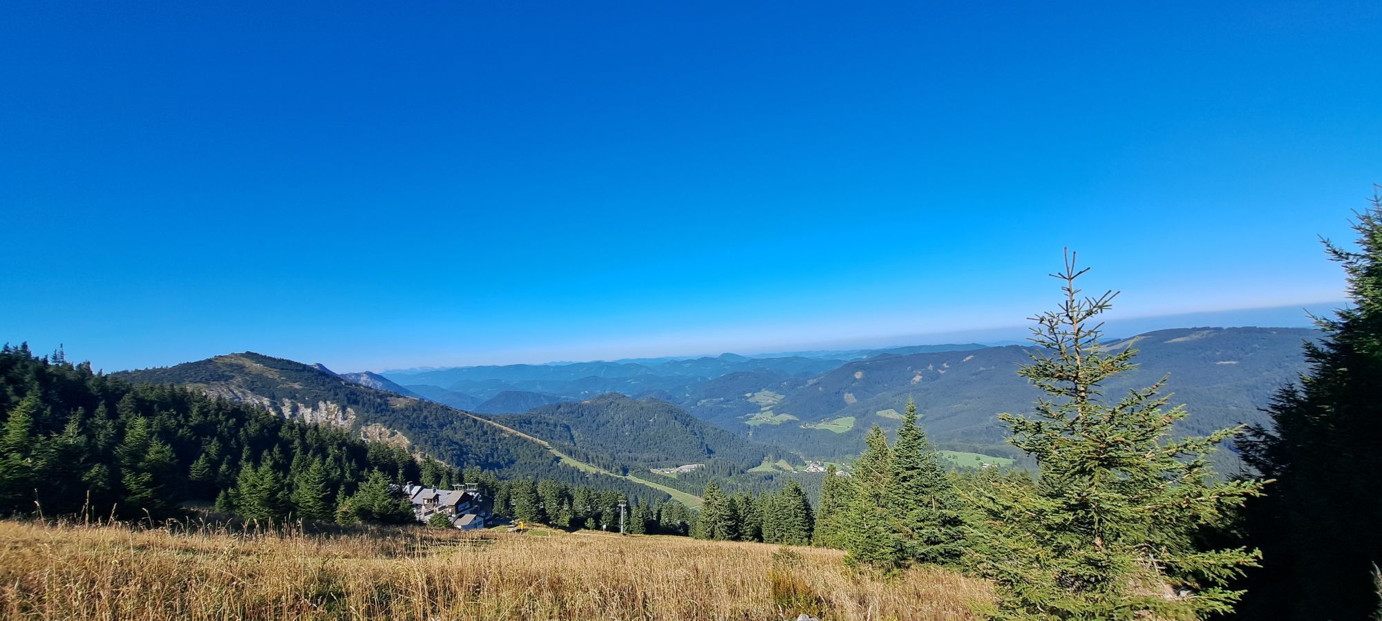
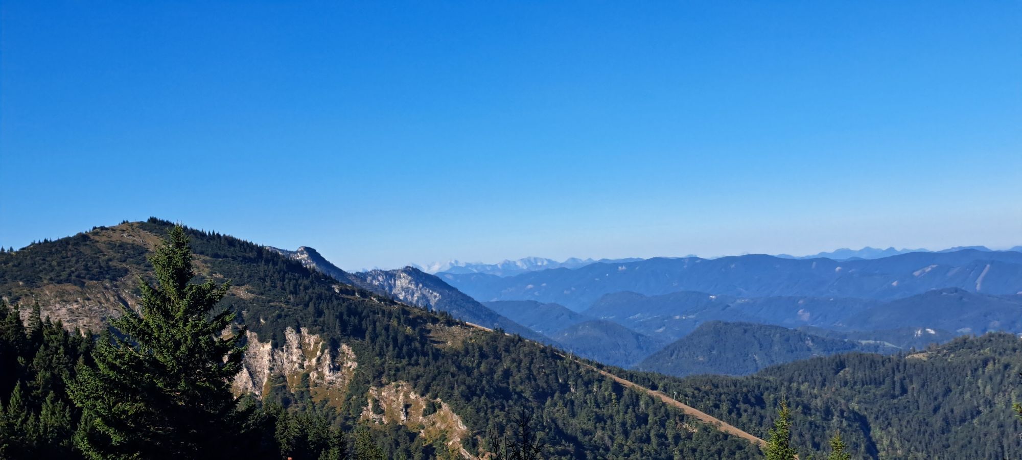
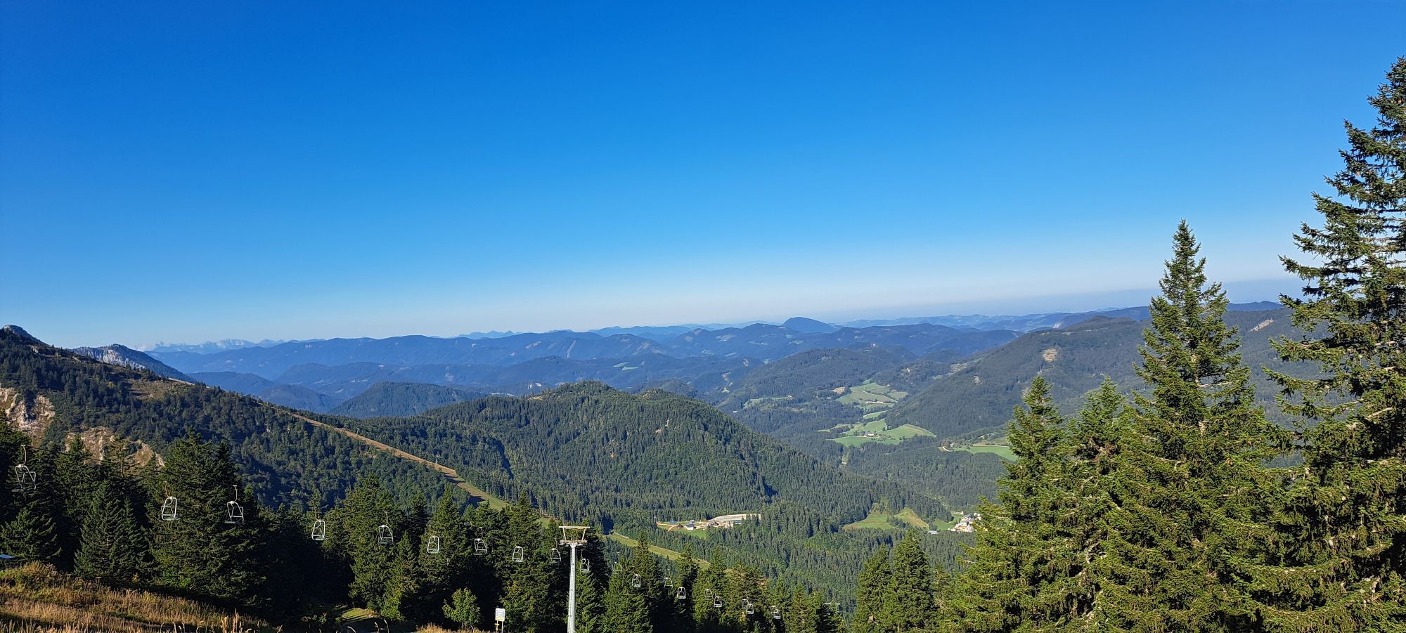
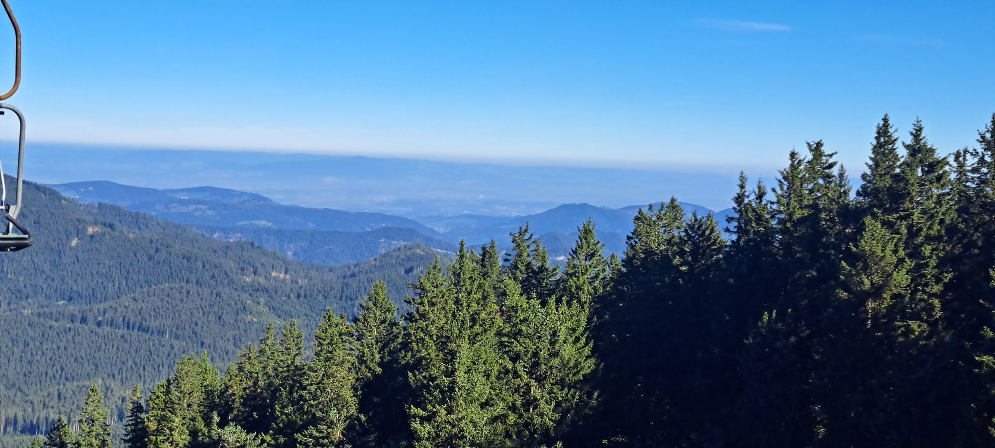
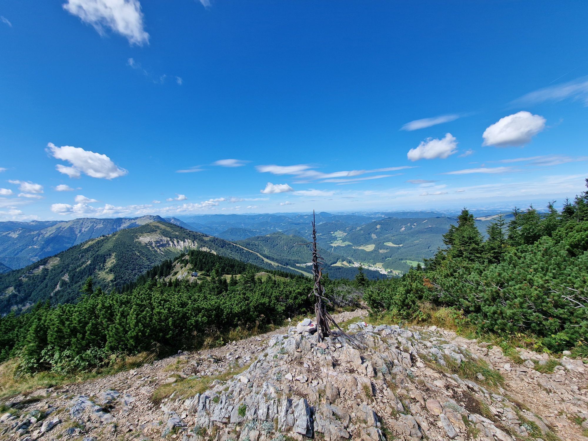
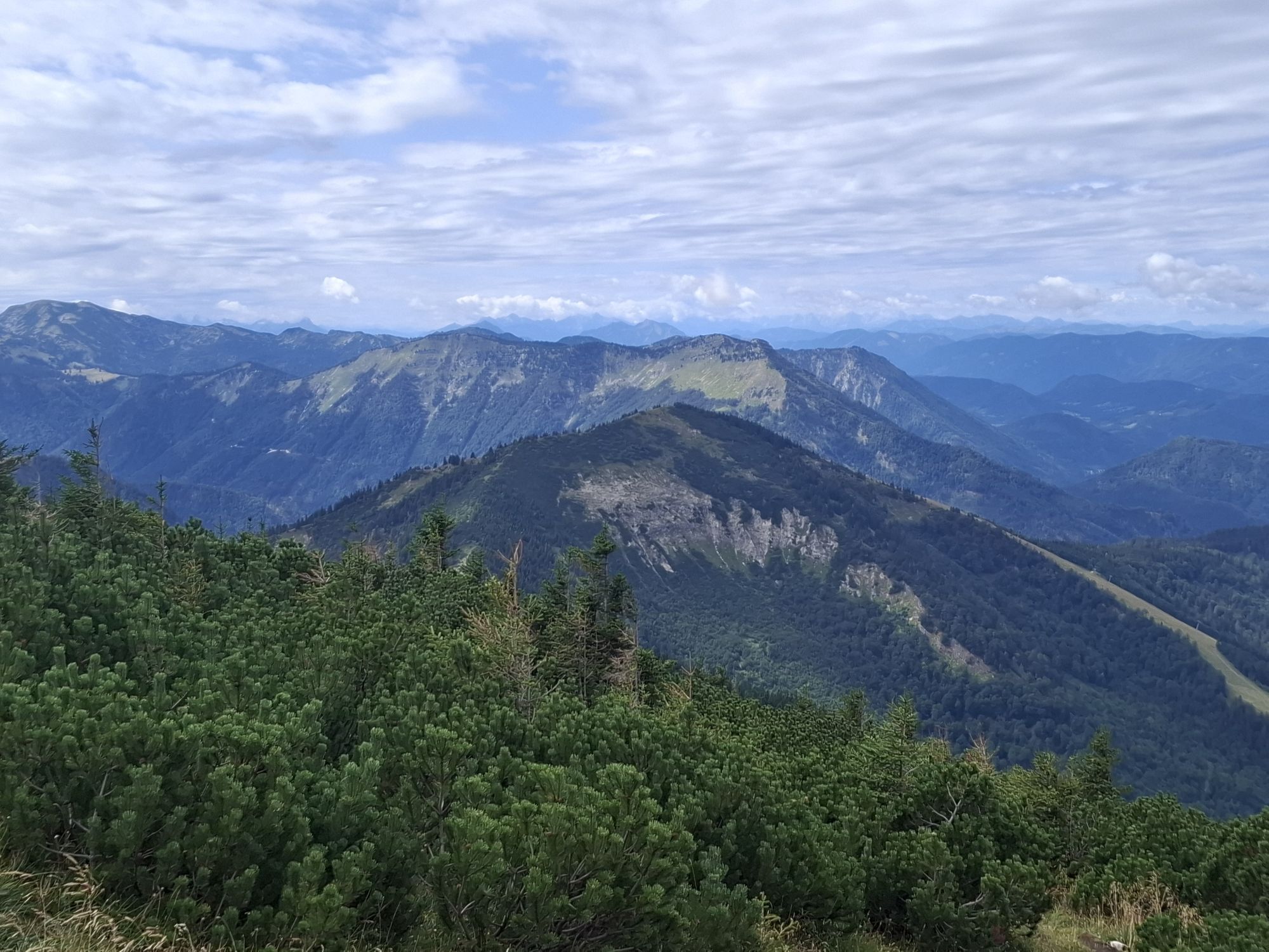
To climb the Ötscher summit, you don't have to choose the challenging Rauhen Kamm, but can also do so via forest paths, ski slopes and easy walking trails from the village of Lackenhof. After many hairpin...
To climb the Ötscher summit, you don't have to choose the challenging Rauhen Kamm, but can also do so via forest paths, ski slopes and easy walking trails from the village of Lackenhof. After many hairpin bends and a steep ascent, you reach the Riffelsattel saddle, which takes you to the Ötscherschutzhaus.
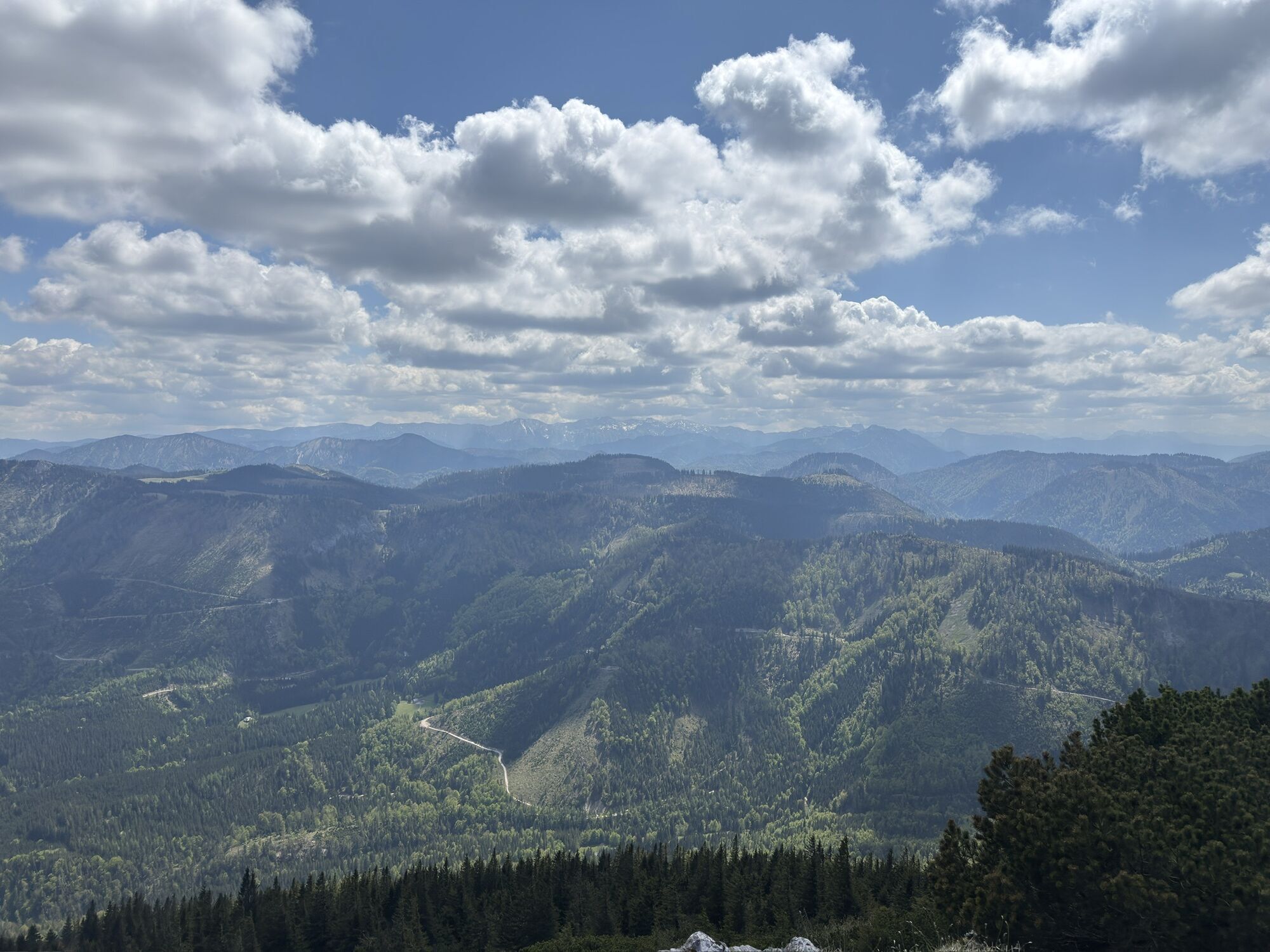
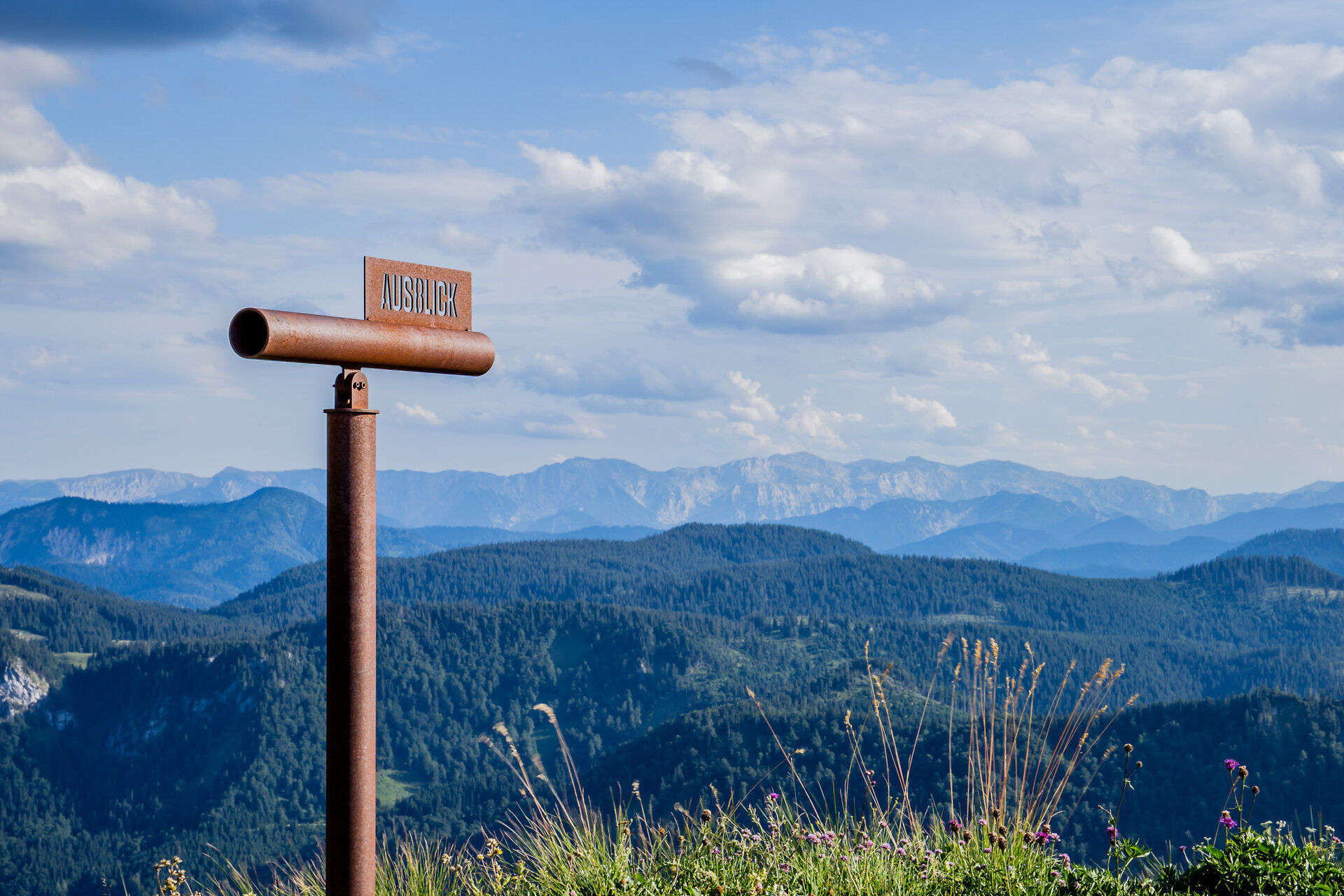
You can reach the Hüttenkogel on an easy walk across the grassy "Wiesmahd". On a clear day, we recommend taking a look through the panorama telescope, as you already have a wonderful view of the mountain panorama from here.
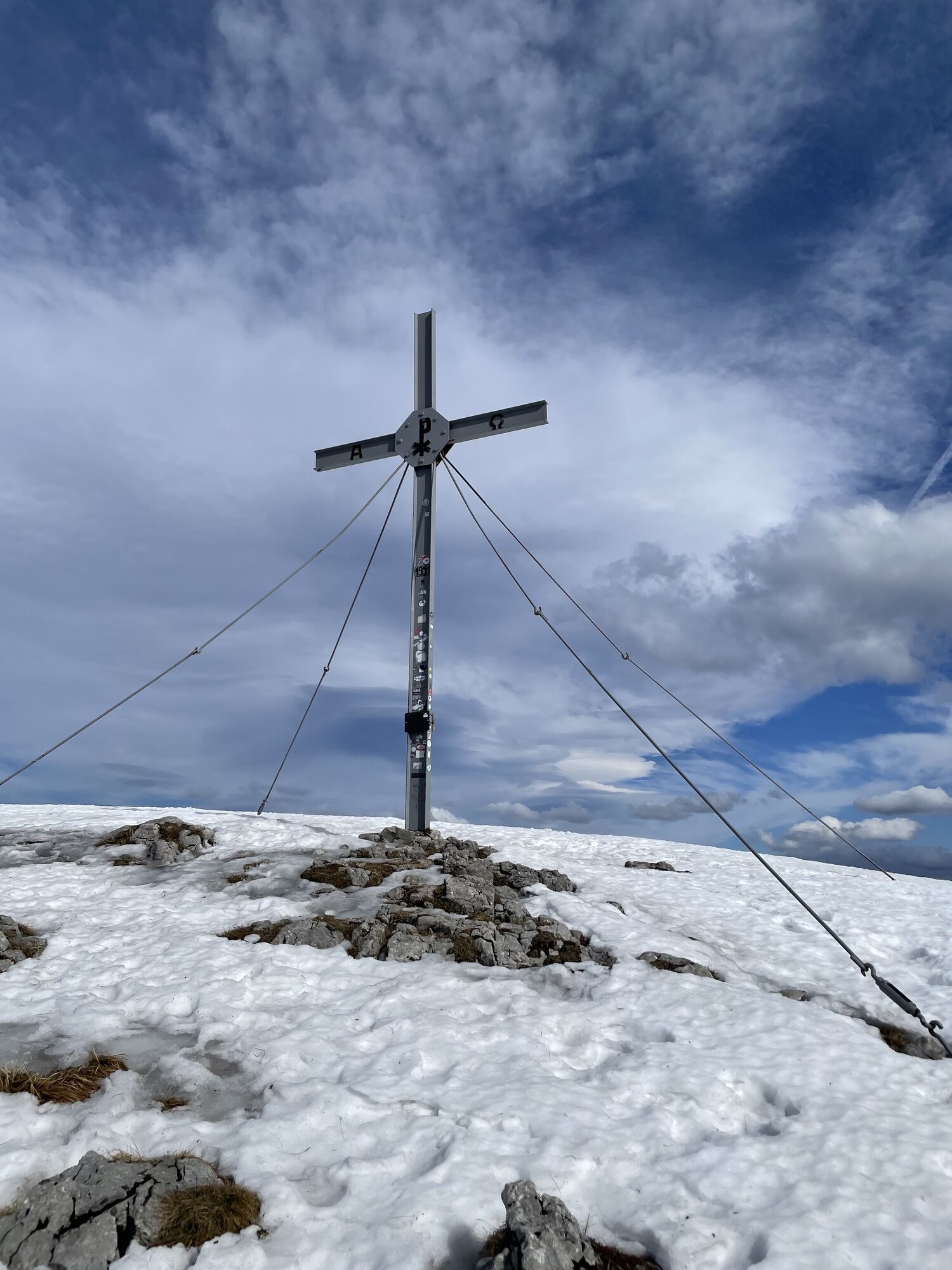
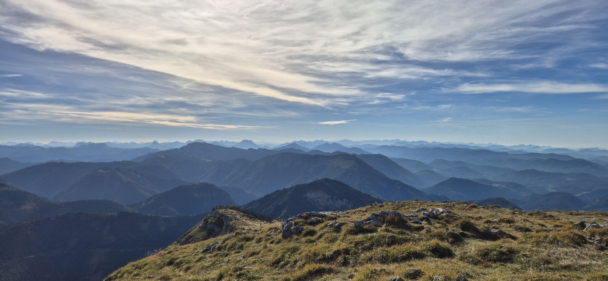
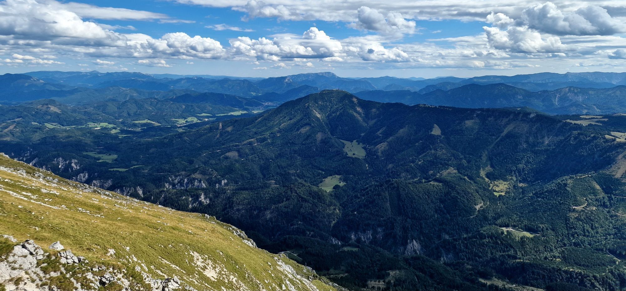
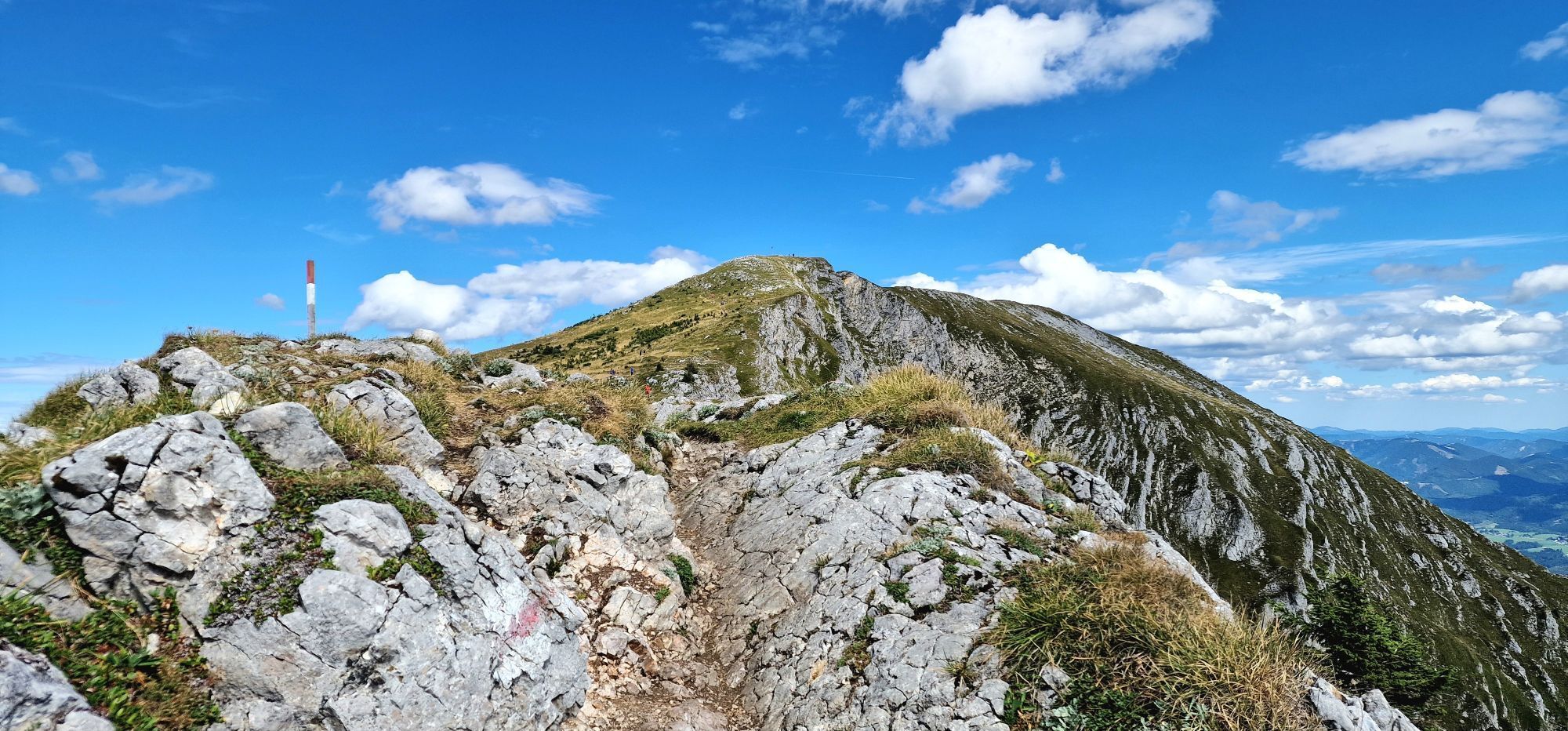
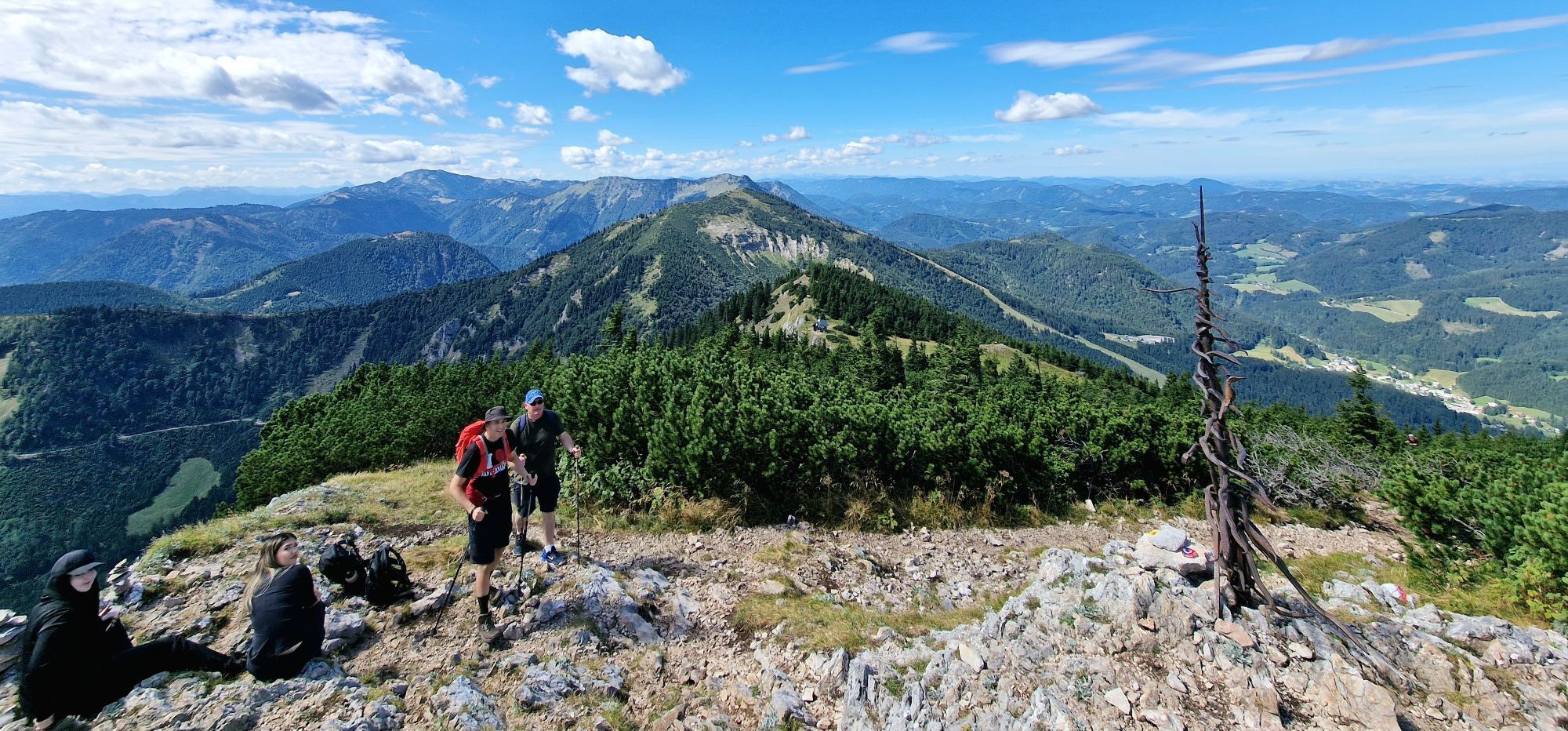
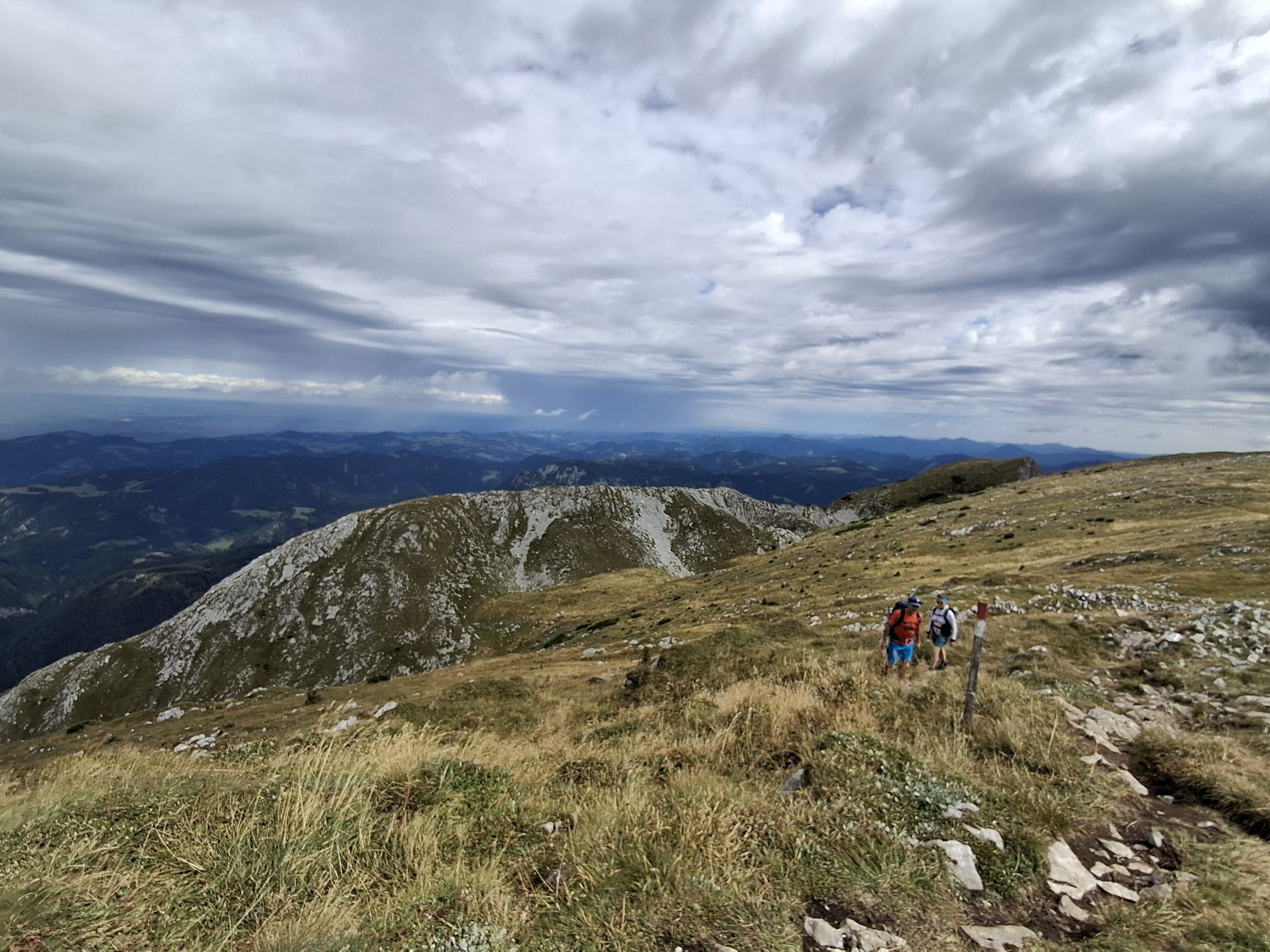
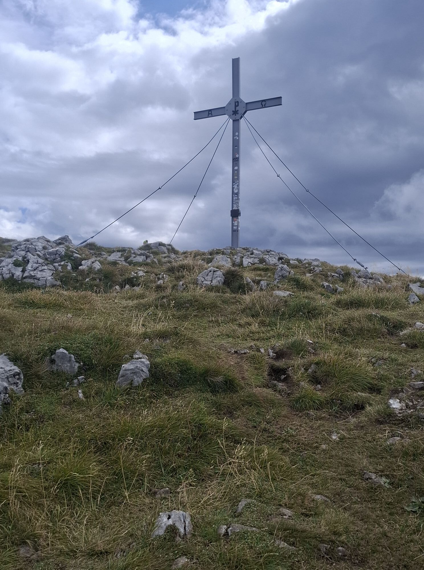
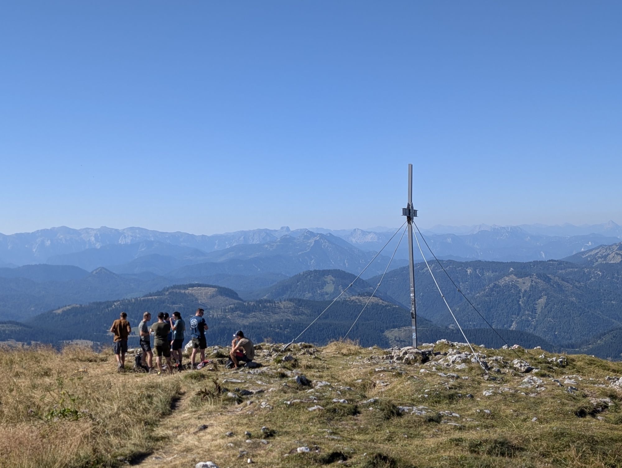
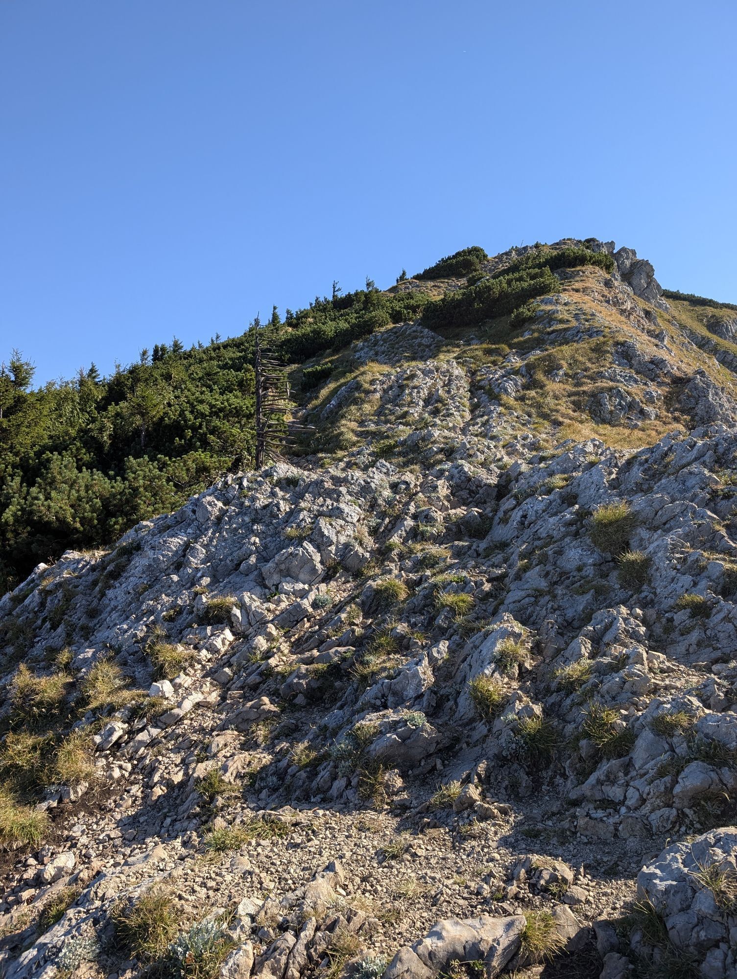
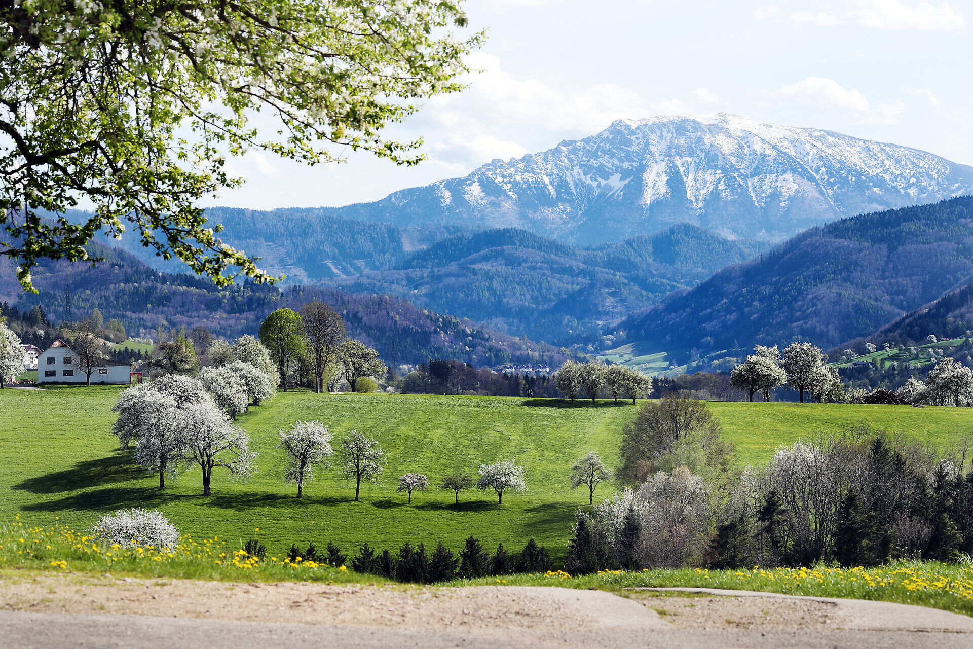
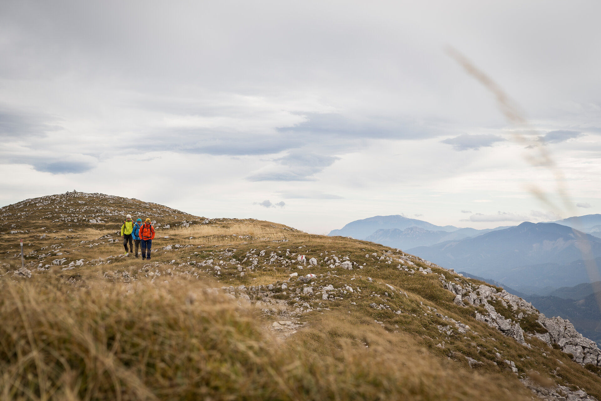
Before the panorama telescope, turn left towards the east over steep and rocky ridges, a rocky narrowing, the "Weiße Mäuerl" and over the summit plateau to reach the summit. Then the Mostviertel lies at your feet.

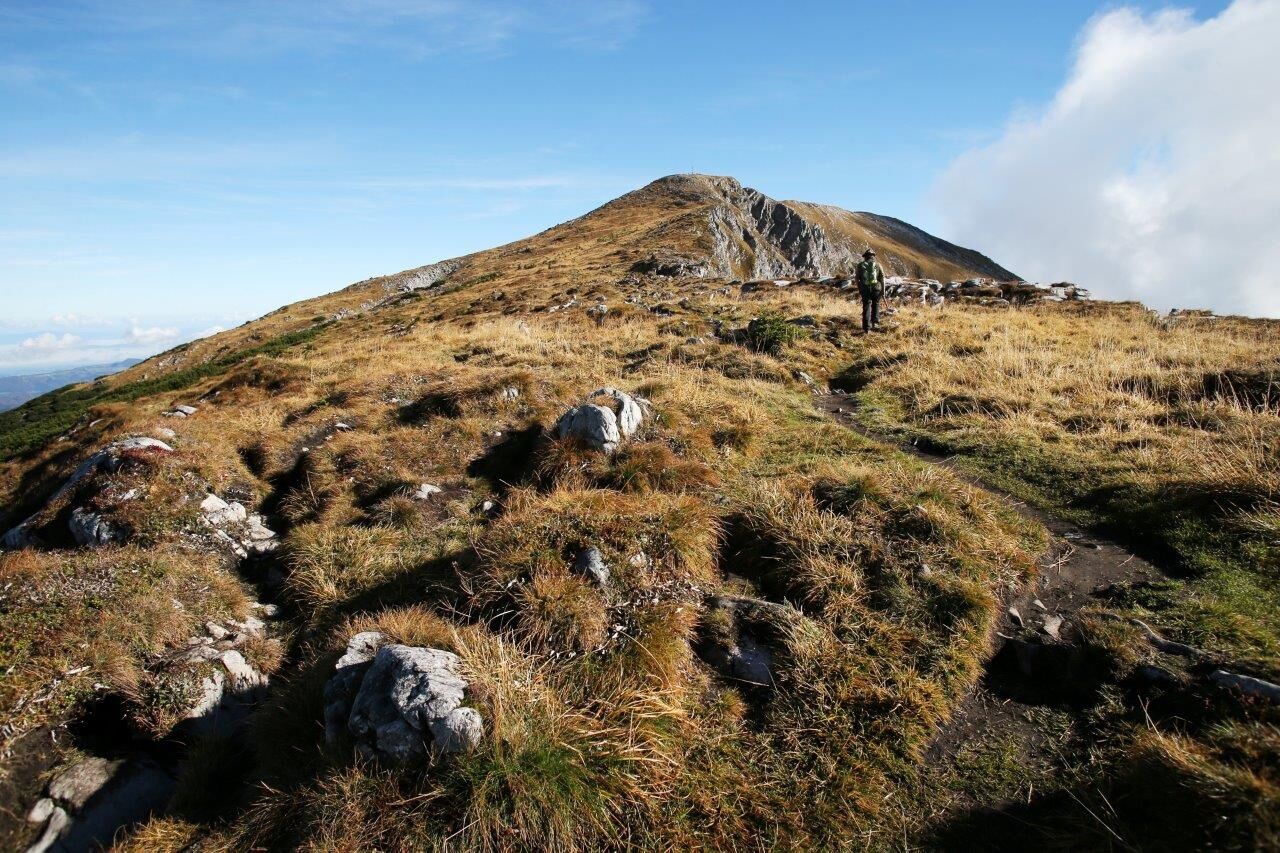
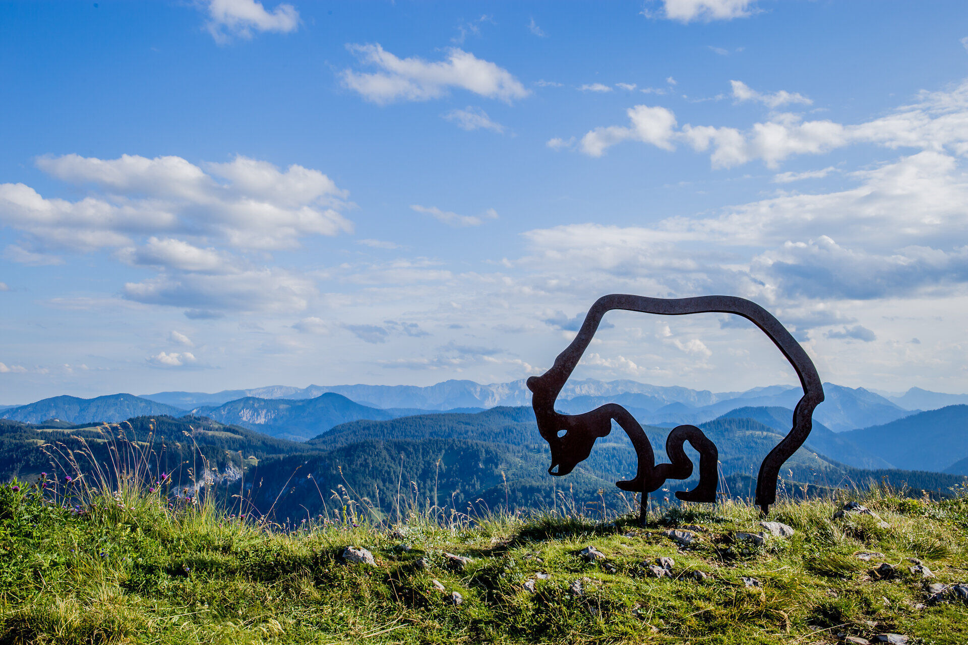
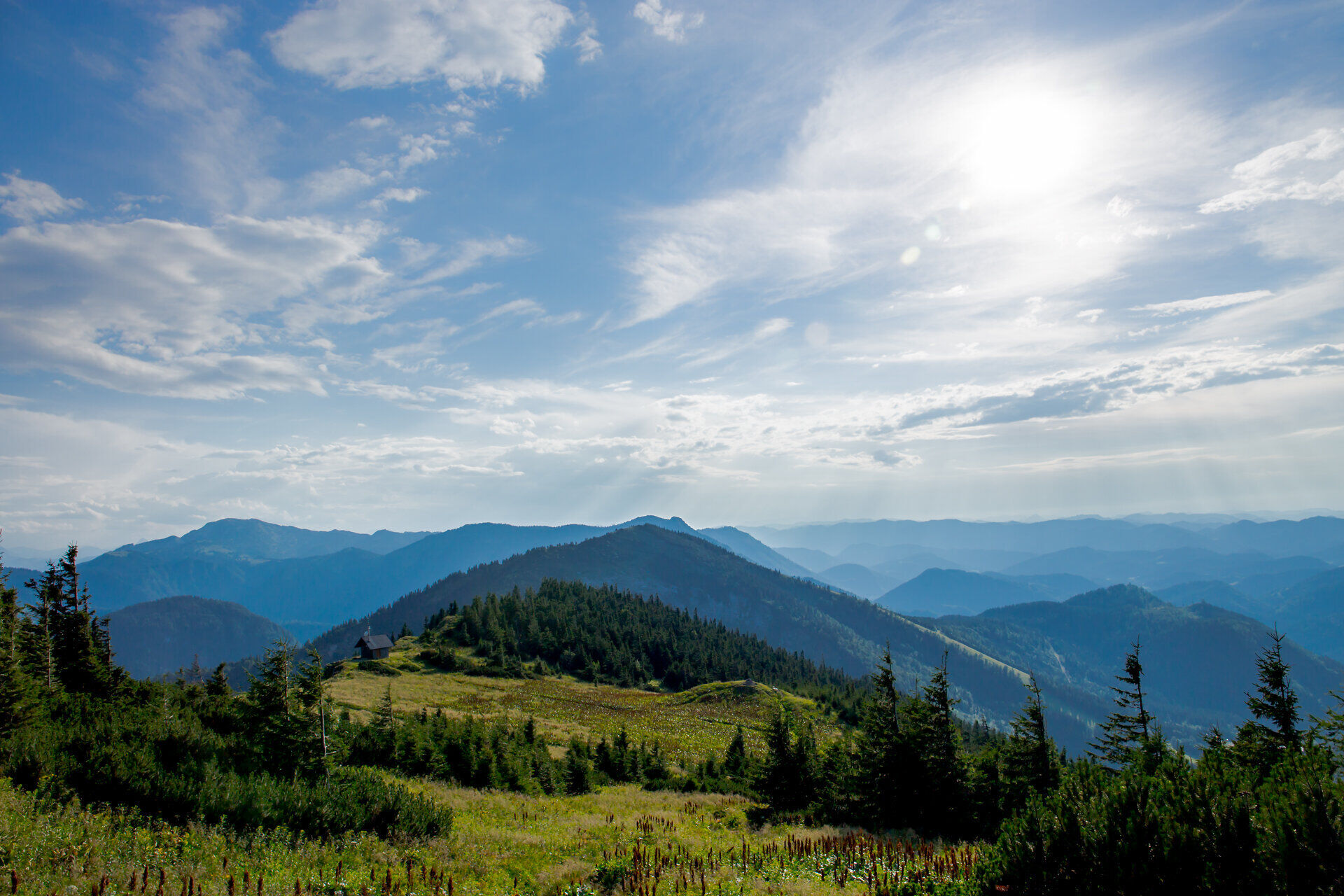
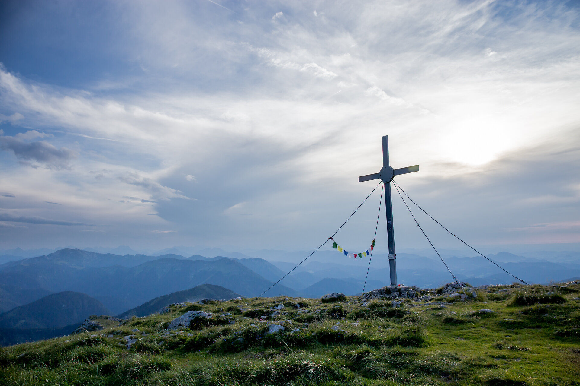
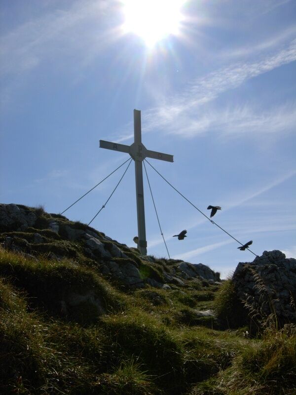
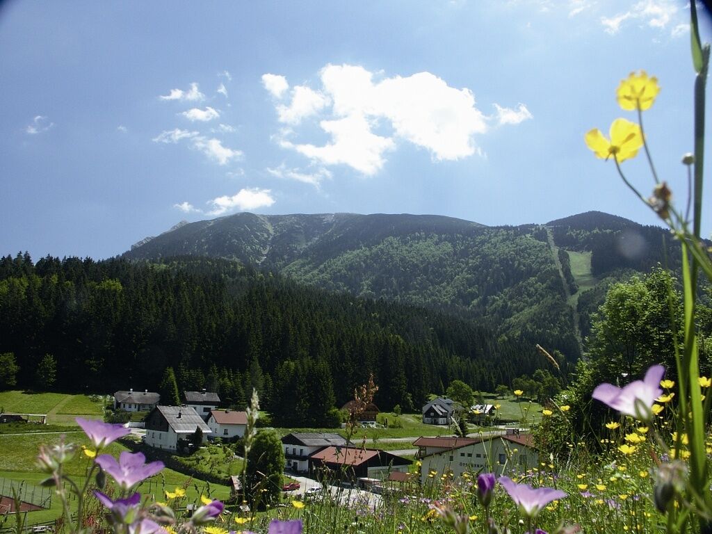
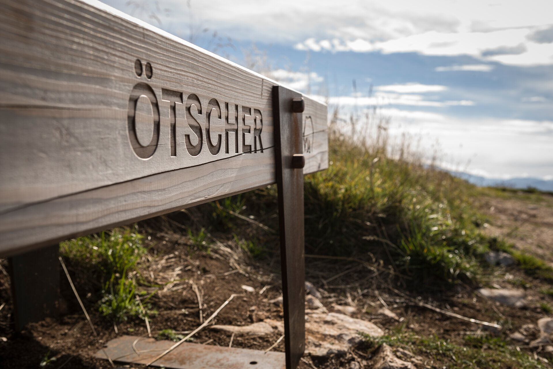

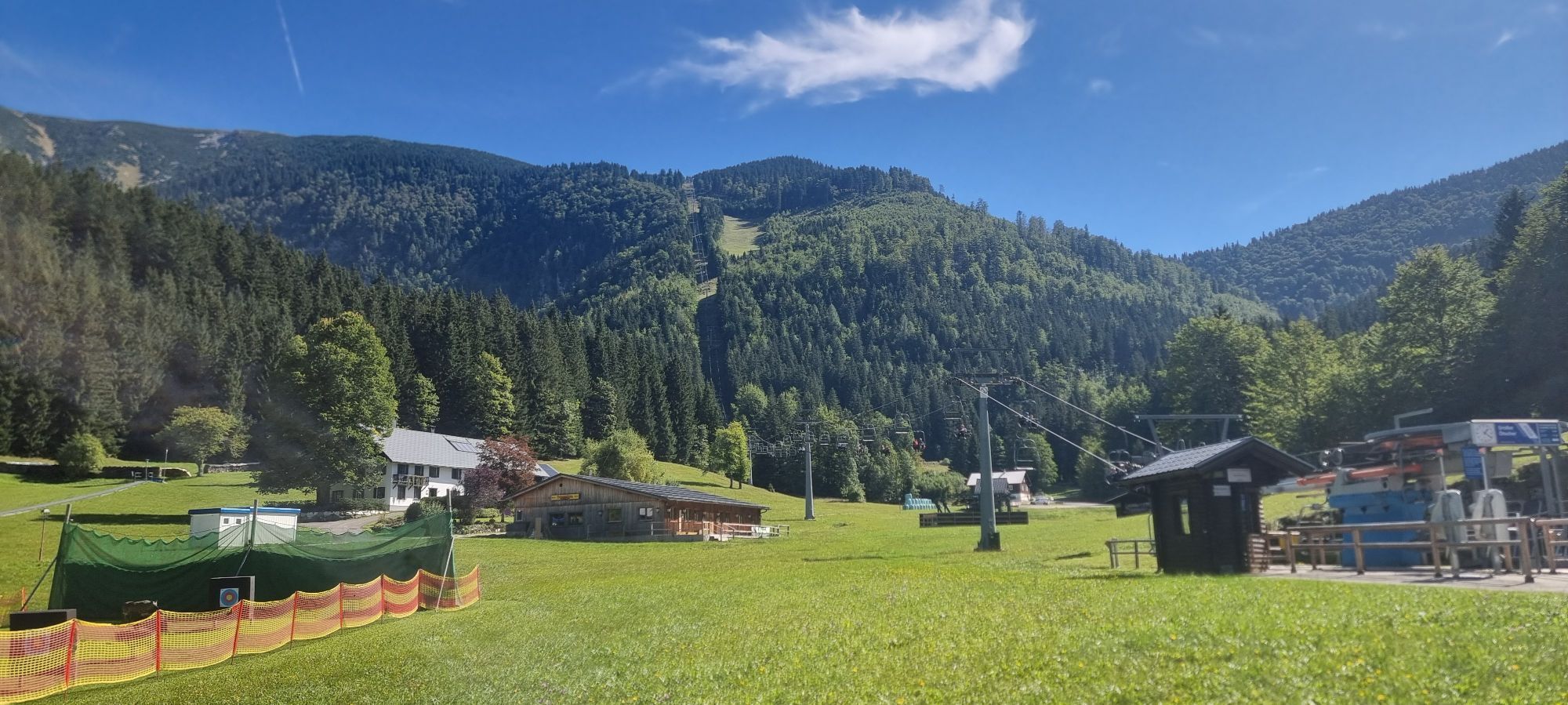
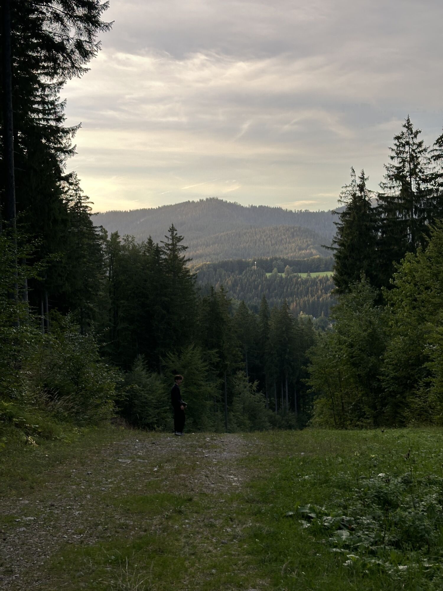
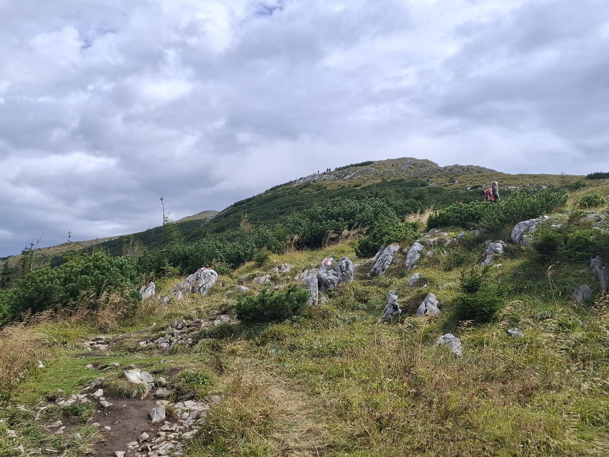
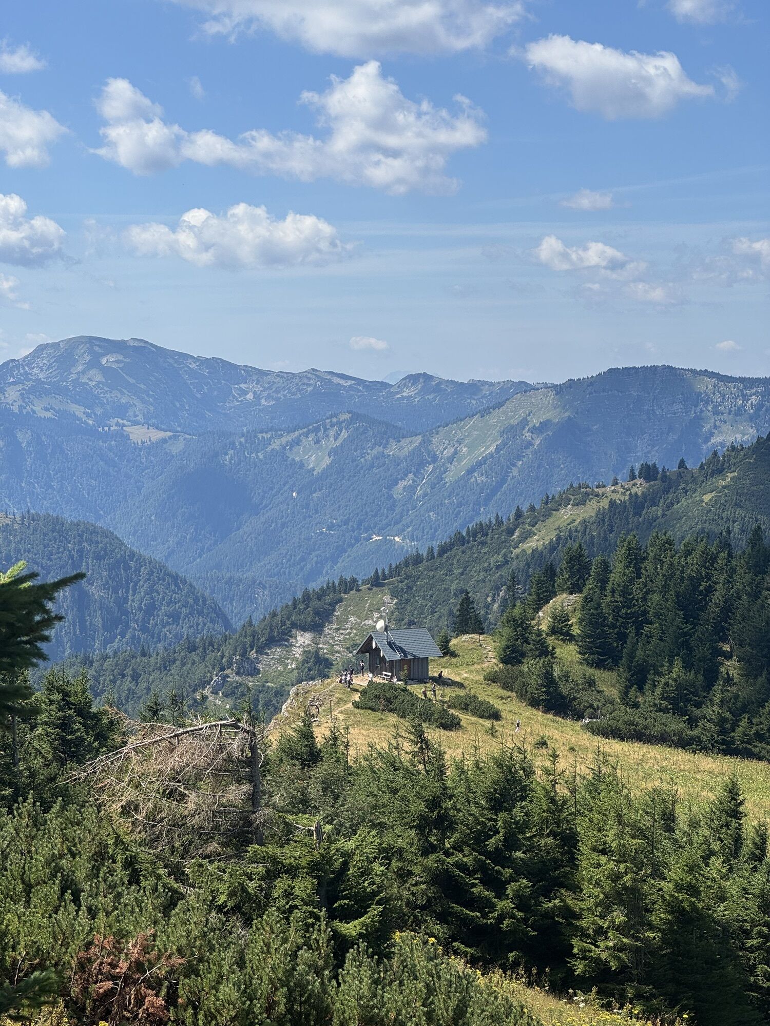
Lackenhof - Ötscherschutzhaus (without using the lift): The starting point is in the Weitental in Lackenhof, directly at the lift. Through the forest (marked path) and next to the ski slope, the path leads to the Ötscher family descent and continues on the left side of the slope, climbing the embankment into the shady forest. After many switchbacks and a steep ascent, you reach a side arm of the descent. You continue on this, later turning right over the forest path to the Riffelsattel (1283 m altitude, about 40 minutes, important crossroads, right to the "Stone Man", to the Little Ötscher, or to the Feldwiesalm, straight ahead into the Ötscher ravines and towards the southern wideness of the Ötscher). The path leads along the left side of the piste to the Ötscherschutzhaus and to the mountain station of the Ötscher lift (1436 m altitude).
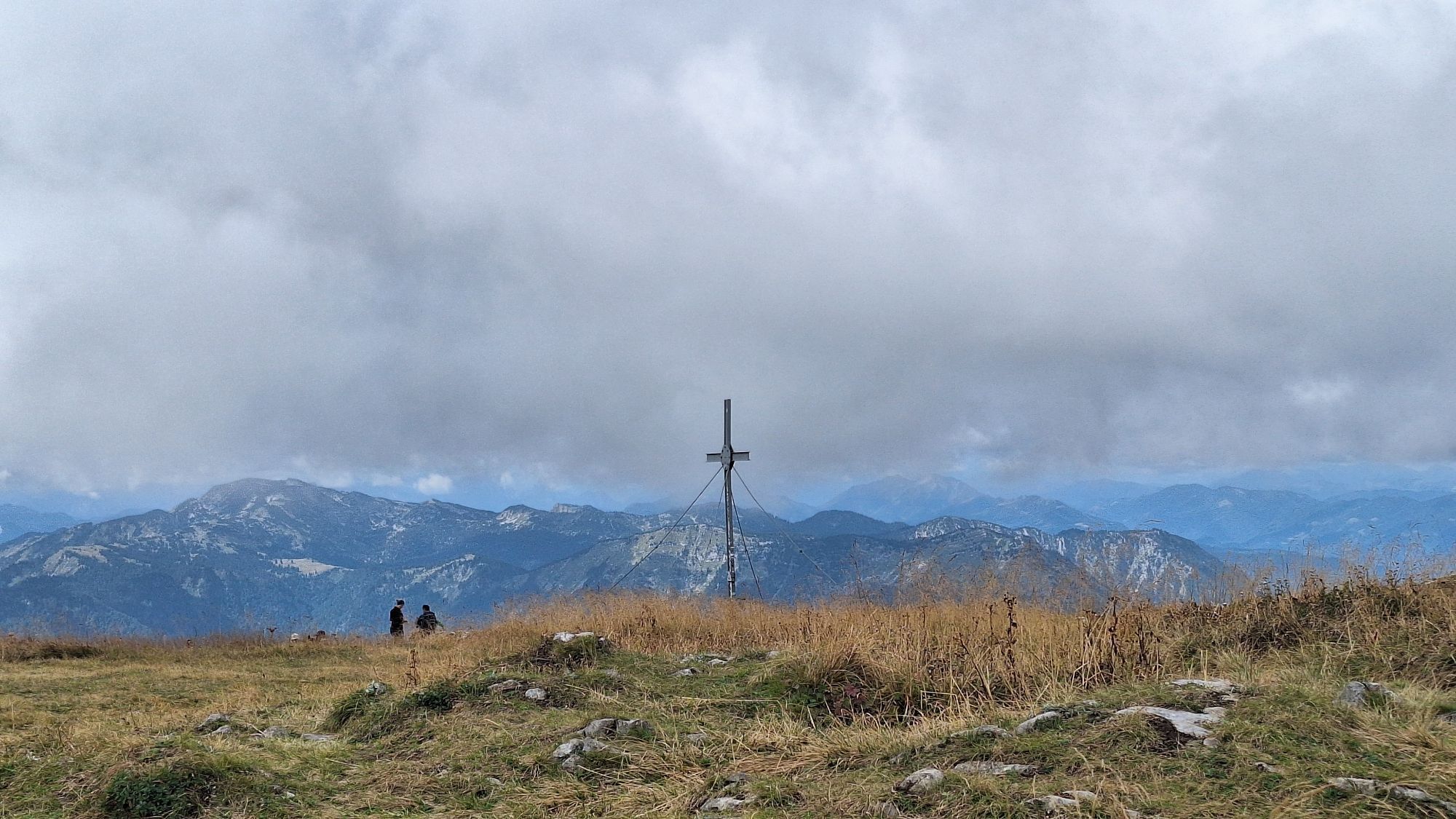
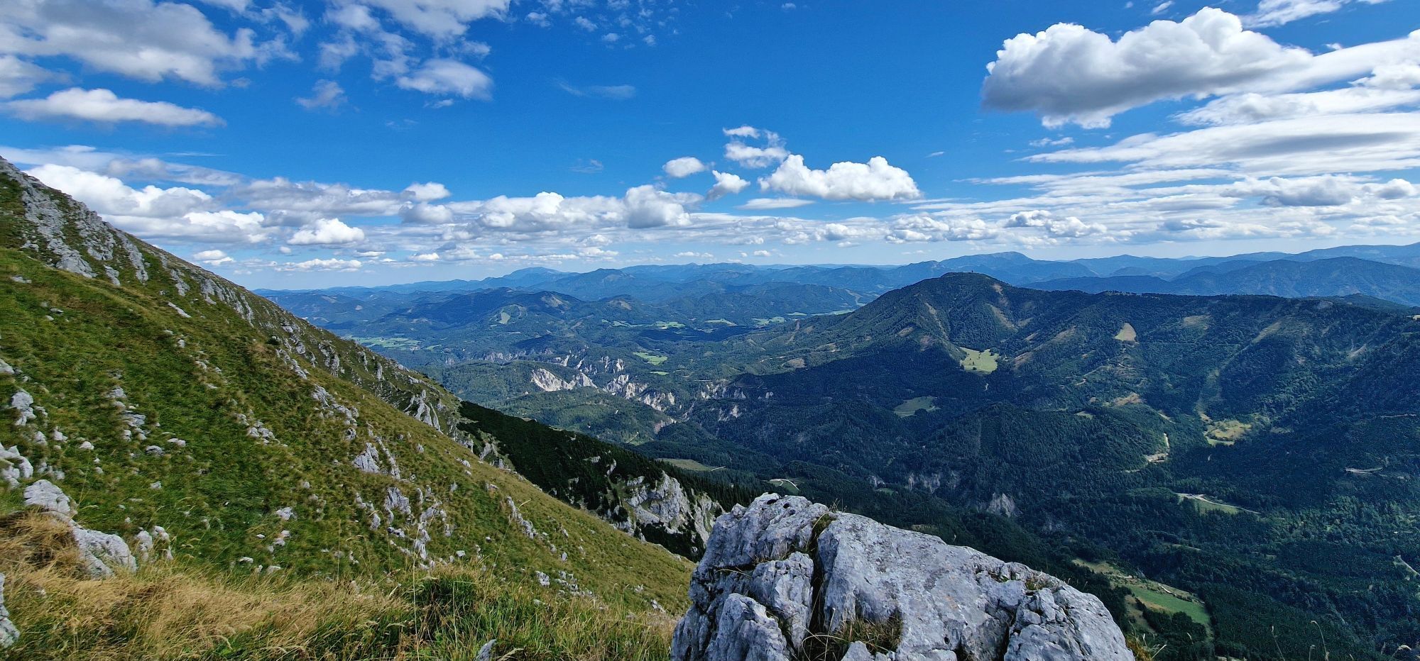
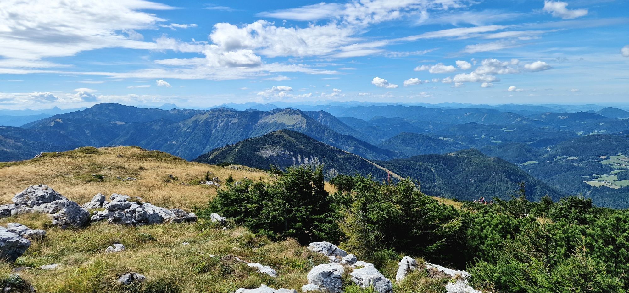
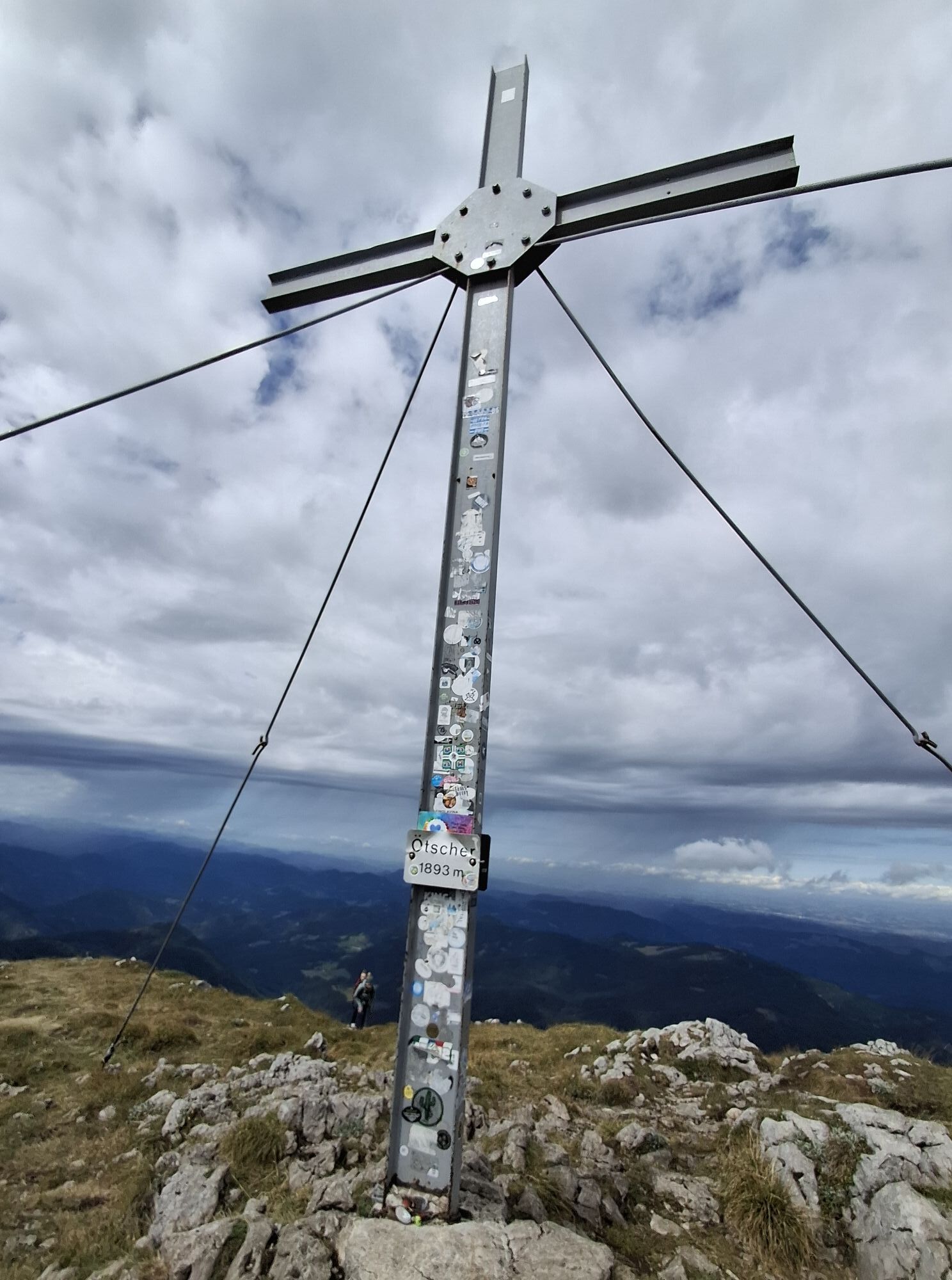
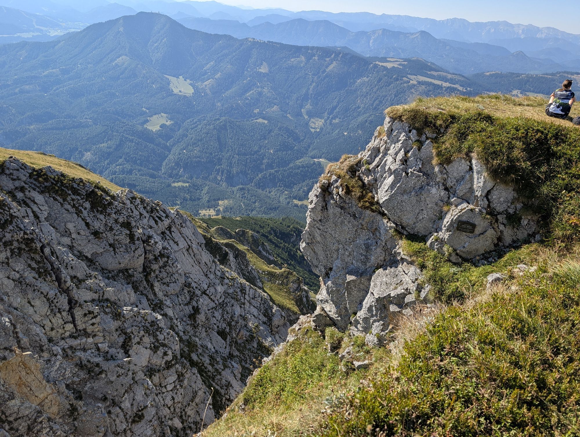
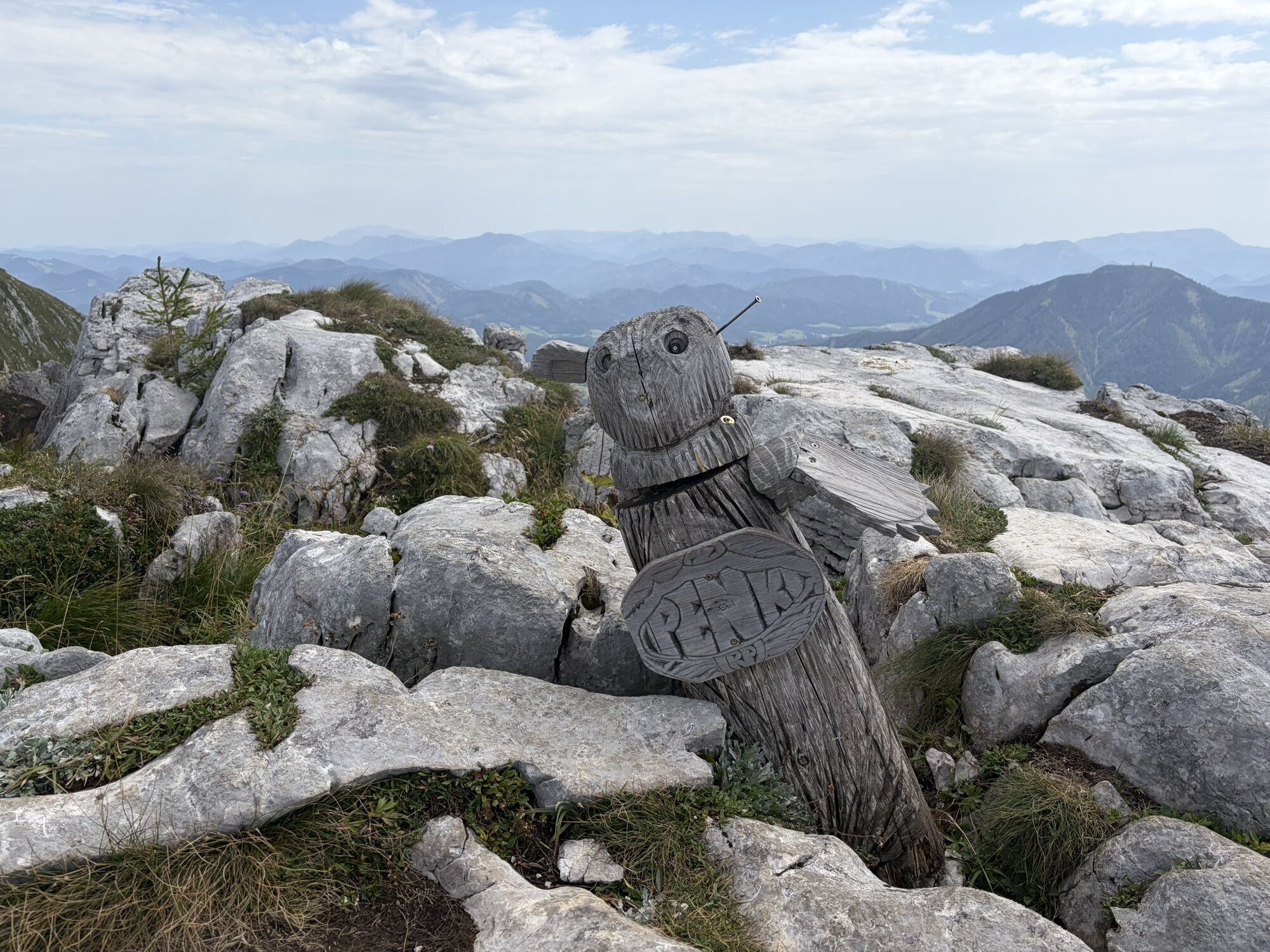
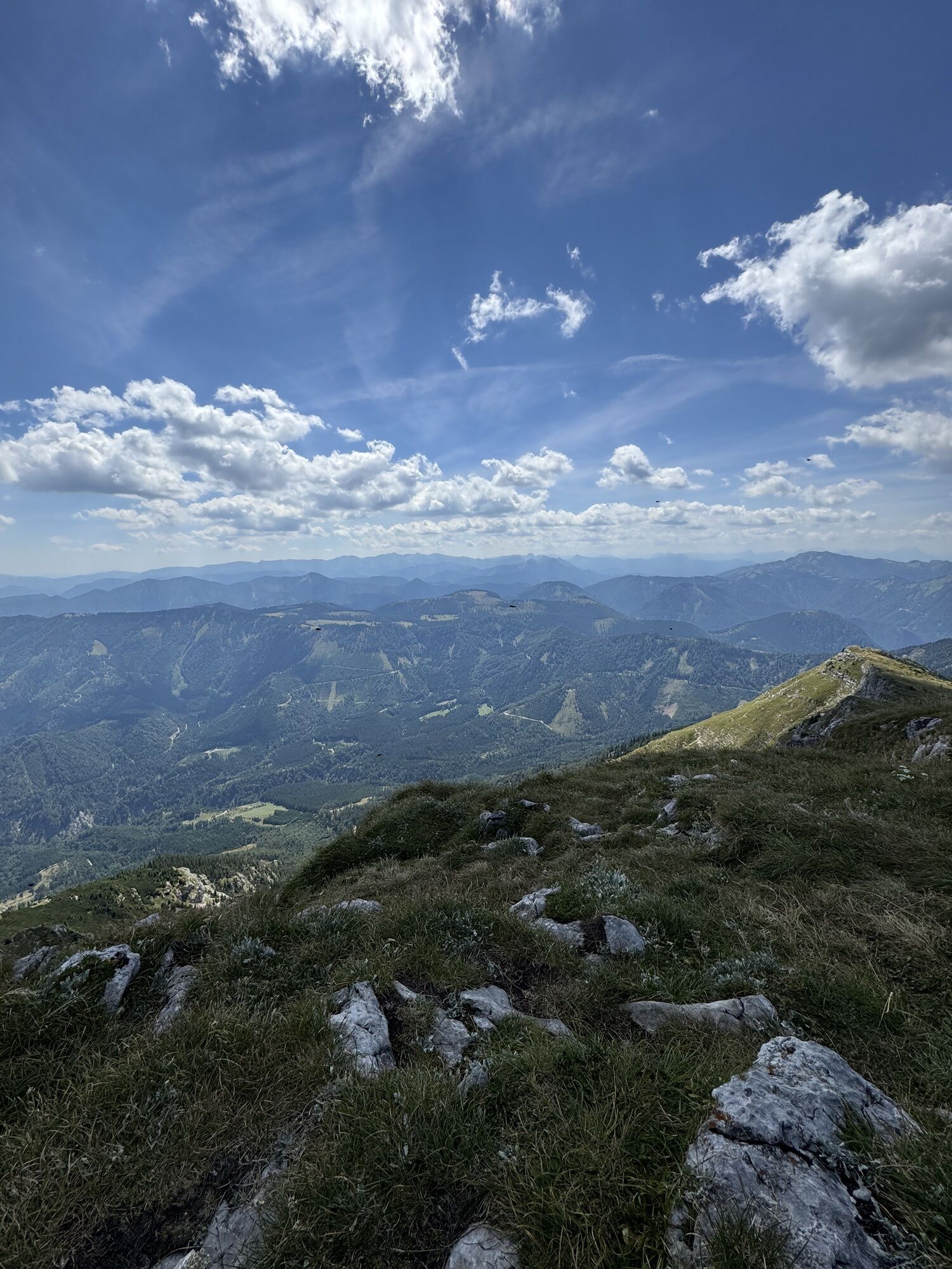
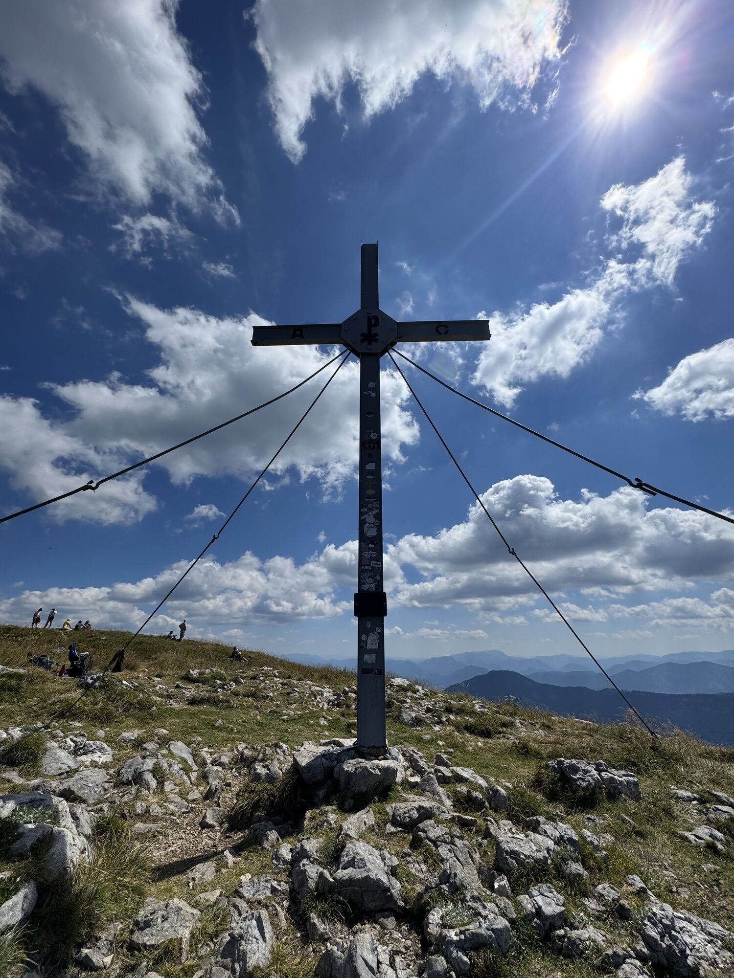
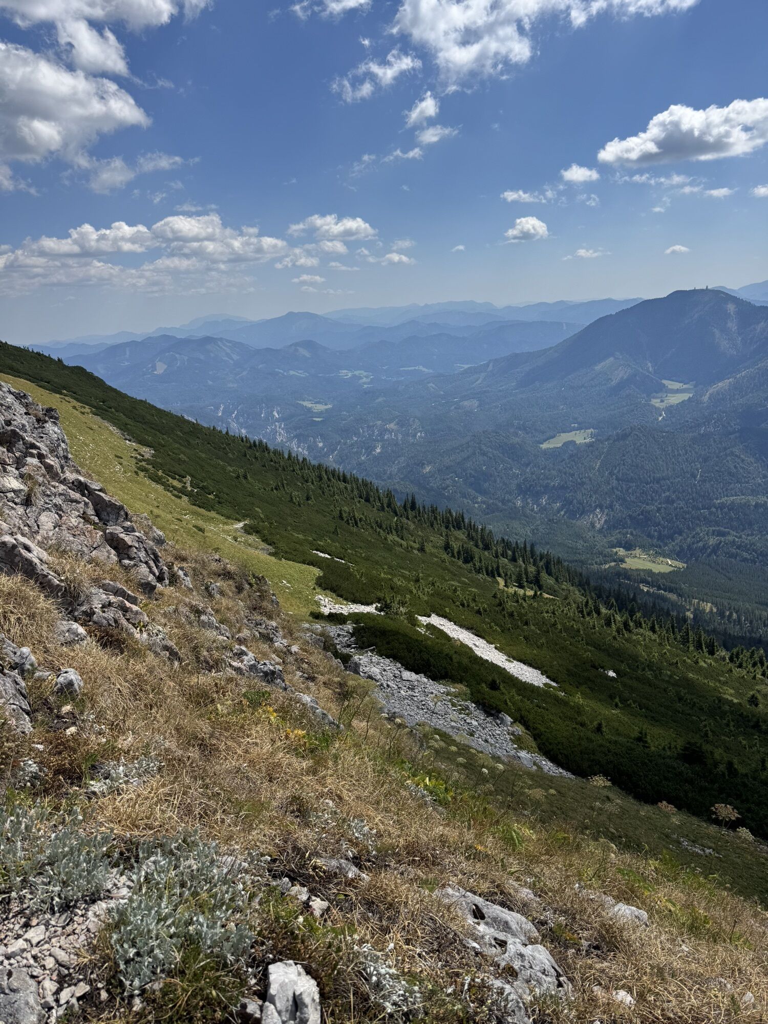
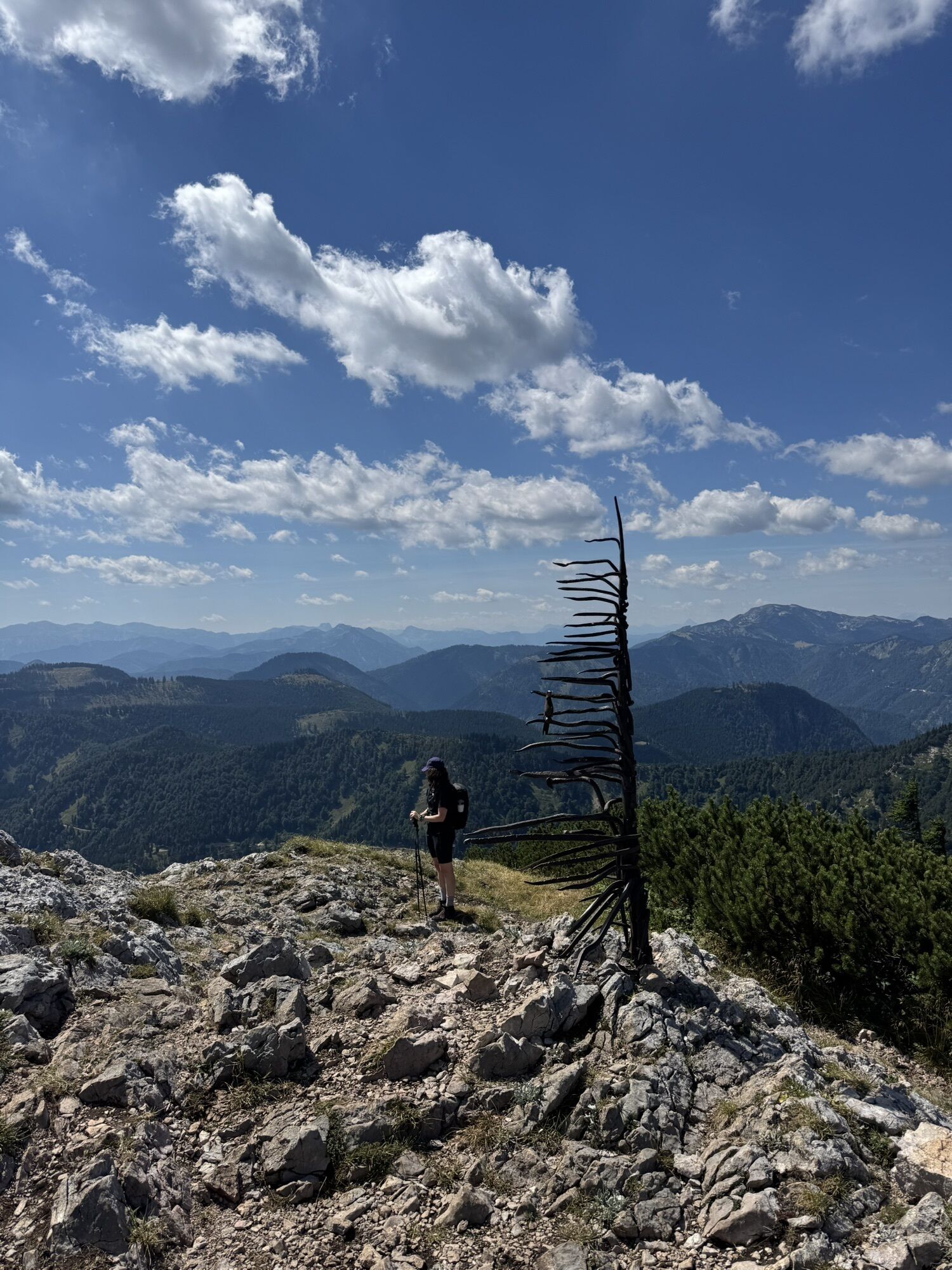
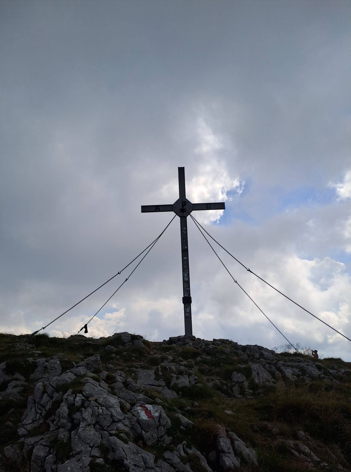
Ötscherschutzhaus - summit: From the mountain station, a comfortable promenade with several switchbacks goes over the grass-covered "meadow" up to the Hüttenkogel. In clear weather, a look through the panorama telescope is recommended (about 15 minutes, 1520 m altitude), as you already have a magnificent view of the mountain panorama to the south and west as well as the hill chains north of the Ötscher. The marked path already turns left before the panorama telescope towards the east, steeper uphill over the rocky ridge with an ever more magnificent view. At a rocky narrowing of the ridge, the "White Wall", you see the summit cross for the first time. Over the grass-covered flattening, especially charming along the ridge with a magnificent deep view into the southern cirque, it continues to the summit (1893 m altitude).
Tak
Sturdy footwear, provisions, sun protection
Surefootedness required.
Please inform yourself in advance about possible path and road closures in the Nature Park Ötscher-Tormäuer. You can find this information at https://www.naturpark-oetscher.at/aktuelles-top-informiert-im-naturpark
Exit the A1 at Ybbs - Erlauftal federal road B25 to Grubberg - at the intersection onto B71 to Langau/Maierhöfen - turn left to Lackenhof - in Lackenhof to the parking lot in the Weitental (fee required)
Timetable information at: www.vor.at
Parking lot at the Groß Ötscherlift lift station
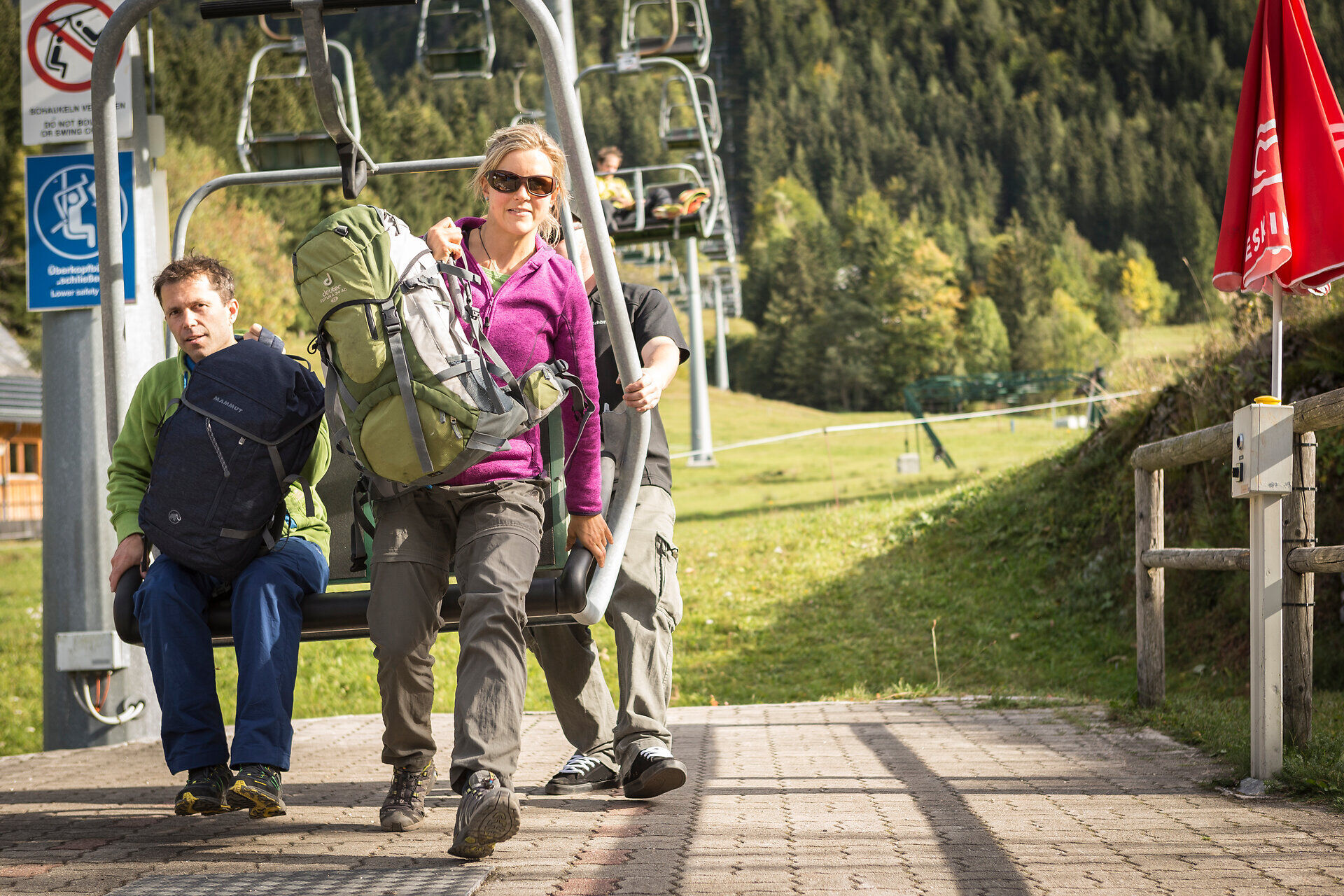
Those who want to take it easier can take the lift from Lackenhof up to the Ötscherschutzhaus.

Aktywności na trasie
-

Mitterbach am Erlaufsee, Niederösterreich/Österreich
27.09.2026 – Wędrówka -

Gaming, Niederösterreich/Österreich
25.09.2026 – Wędrówka -

Gaming, Niederösterreich/Österreich
20.09.2026 – Wycieczka wysokogórska -

Gaming, Niederösterreich/Österreich
19.09.2026 – Wędrówka -
Gaming, Niederösterreich/Österreich
16.09.2026 – Wędrówka -
Gaming, Lower Austria/Austria
01.09.2026 – Wędrówka -
Gaming, Lower Austria/Austria
01.09.2026 – Wędrówka -

Gaming, Niederösterreich/Österreich
13.08.2026 – Wędrówka -

Gaming, Niederösterreich/Österreich
12.08.2026 – Wędrówka -

Gaming, Niederösterreich/Österreich
08.08.2026 – Wędrówka -
Gaming, Niederösterreich/Österreich
20.07.2026 – Wędrówka -
Gaming, Niederösterreich/Österreich
04.07.2026 – Wędrówka -

Gaming, Niederösterreich/Österreich
20.06.2026 – Wędrówka -
Gaming, Niederösterreich/Österreich
06.06.2026 – Wędrówka -
Gaming, Lower Austria/Austria
06.06.2026 – Wędrówka -
Gaming, Niederösterreich/Österreich
02.06.2026 – Wędrówka -

Gaming, Niederösterreich/Österreich
30.05.2026 – Wędrówka -
Gaming, Niederösterreich/Österreich
24.05.2026 – Wędrówka -

Gaming, Niederösterreich/Österreich
23.05.2026 – Wędrówka -

Gaming, Niederösterreich/Österreich
09.05.2026 – Wędrówka
Popularne wycieczki w okolicy
-
4,4
Das 3 Seen-Erlebnis (Lunzer See - Mittersee - Obersee)
średniWędrówka 9,33 km -
4,3
Rund um den smaragdgrünen Lunzer See
światłoWędrówka 4,80 km -
4,7
Gemeindealpe
średniWędrówka 13,5 km -
5,0
Von Lackenhof auf den Ötscher
światłoWędrówka 5,29 km -
4,9
Lassingfall - Ötscherhias - Erlaufklause
średniWędrówka 8,20 km -
4,9
Lechnergraben-Grünloch-Ybbstalerhütte
światłoWędrówka 9,72 km -
4,9
Lackenhof ÖTSCHER Rauer Kamm 19.10.2014
ciężkiWędrówka 14,1 km -
4,8
Naturpark Ötscher-Tormäuer Wienerbruck
światłoWędrówka 6,06 km -
4,7
Trefflingfall über Hochbärneckhütte
średniWędrówka 12,2 km -
4,6
Rund um die Mariazeller Bürgeralpe (694 und 692)
średniWędrówka 9,04 km
Wędrówki i tropienie


Nie przegap ofert i inspiracji na następne wakacje
Twój adres e-mail została dodana do listy mailingowej.





