


Jauerling Loop 05: Weiten-Raxendorf
Zdjęcia naszych użytkowników
Jauerling Loop: From Weiten to Raxendorf
From Prangerplatz in Weiten, our path leads up to Eibetsberg. Over Schießgrub and the Kulm, it goes to the idyllic Zehentegg. We then continue through blooming...
<p><strong>Jauerling Loop: From Weiten to Raxendorf </strong></p><p>From Prangerplatz in Weiten, our path leads up to Eibetsberg. Over Schießgrub and the Kulm, it goes to the idyllic Zehentegg. We then continue through blooming fields to Heiligenblut, where the picturesque pilgrimage church invites you to visit. Always along the main road, we finally reach the rural Raxendorf, where our stage ends at the market square.</p><p>>>Here is the hiking report from Wachau Inside</p>

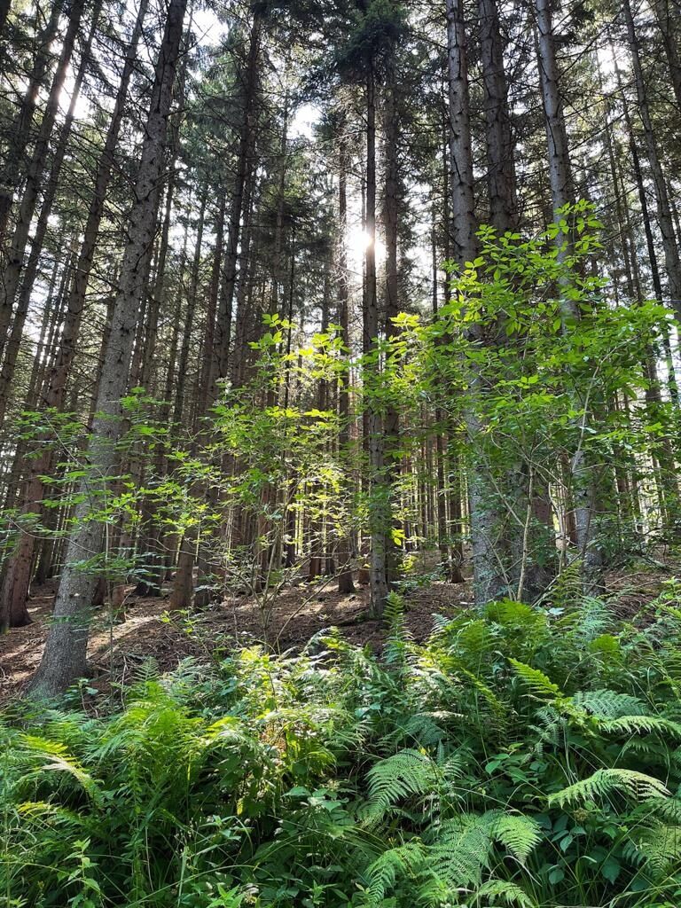
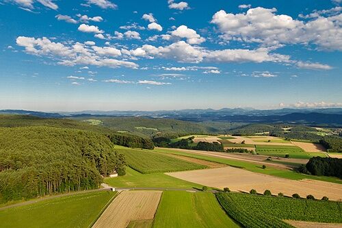
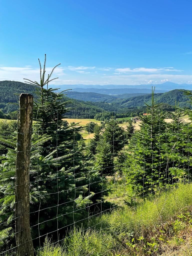
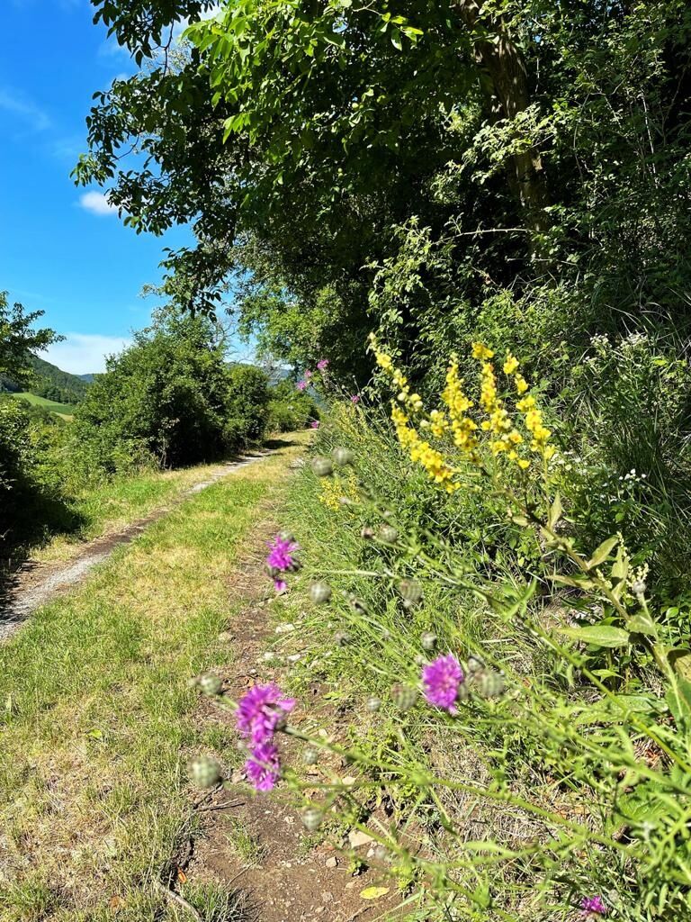
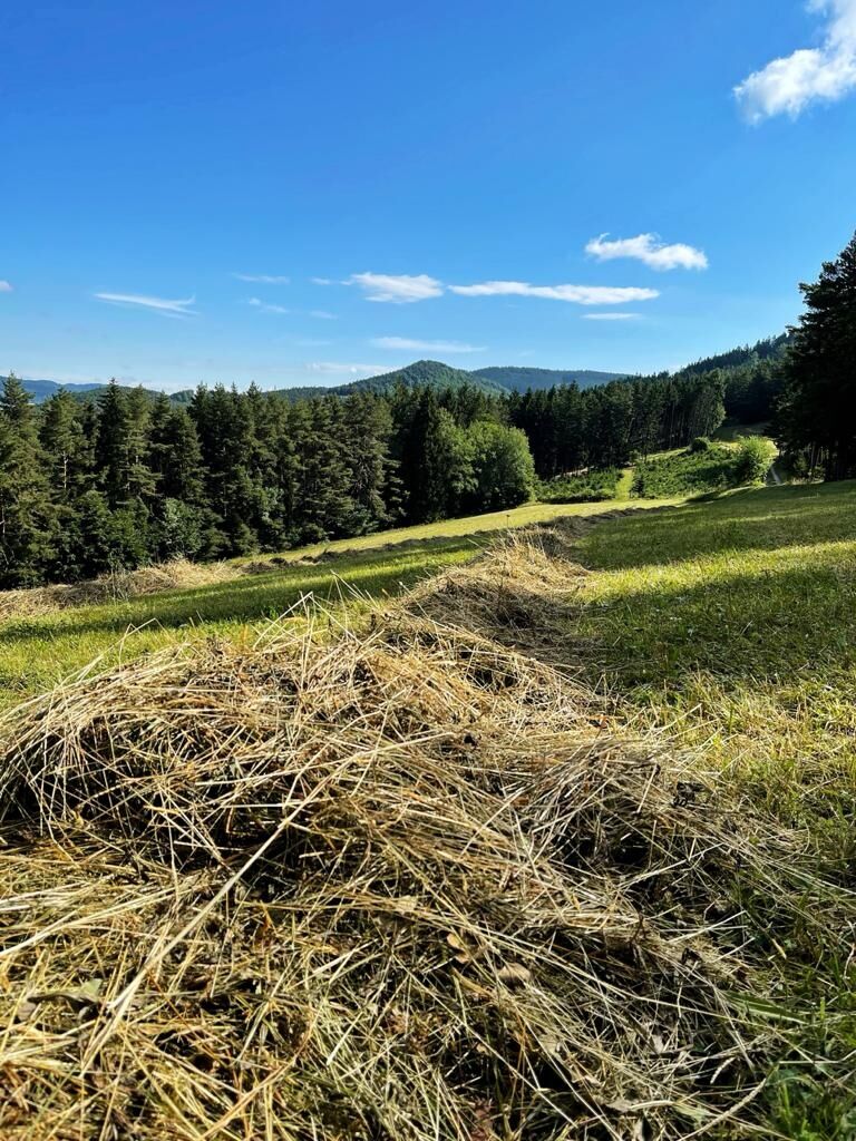
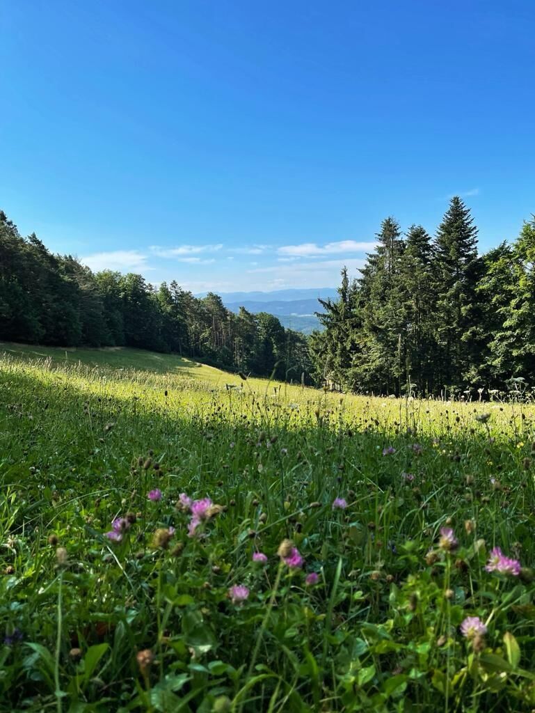
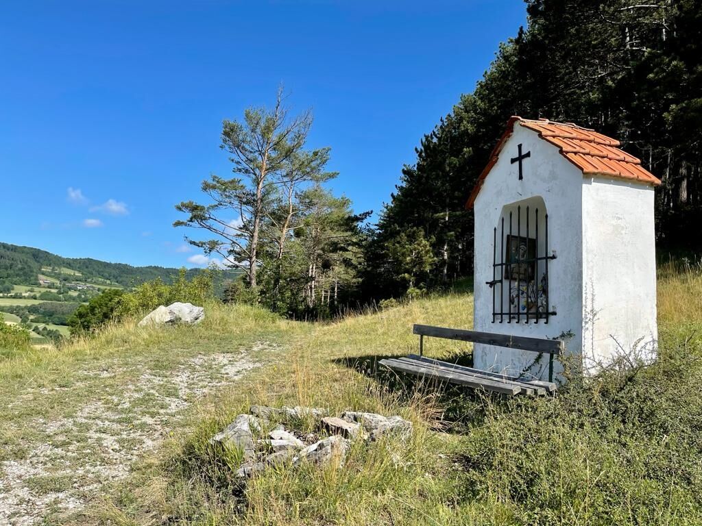
<p>We start our hike at Prangerplatz in Weiten, cross the main road, and ascend in switchbacks toward Eibetsberg. At the barn on top, we turn left and follow the farm track between Schießgrub and Kulm down into the forest on the left. Shortly after, we reach Zehentegg, where we first turn left and then at the next intersection in the village turn right, returning to meadow and field landscapes. Passing the white cross, we continue along idyllic field paths, entering the forest and then Heiligenblut, where the noteworthy pilgrimage church is worth a visit. Afterwards, we follow the main road all the way to Raxendorf. At the market square of this picturesque village, we can comfortably end the stage.</p>
<p>Sturdy hiking boots, rain protection, sufficient drinks and food</p>
<p>A1 to the Melk exit, then via B3 and B216 to Weiten or further to Raxendorf</p>
<p>The locations are reachable by public transport seven days a week. Returning to the starting point of the hike is possible.</p><p>On weekdays, the Waldviertel lines operate between Weiten and Raxendorf. On weekends and holidays, the Jauerling on-call bus (WL 7 Spitz-Jauerling-Mühldorf-Spitz) runs. It follows a fixed route and must be reserved by phone at least 60 minutes before departure at +43 810 810 278. <a href="www.vor.at">www.vor.at</a> </p>
<p>In the town center of Weiten or at the municipal office near the market square in Raxendorf</p>
Dining options/opening hours
Several inns and cafes in Weiten and Raxendorf are open year-round. Please note the reduced opening hours in winter.
The inn "Zur Post", run by the Kremser family in Weiten, is open year-round continuously, closed on Wednesdays. Tel 02758/8202. www.gasthof-kremser.at
Accommodation is available in Weiten.
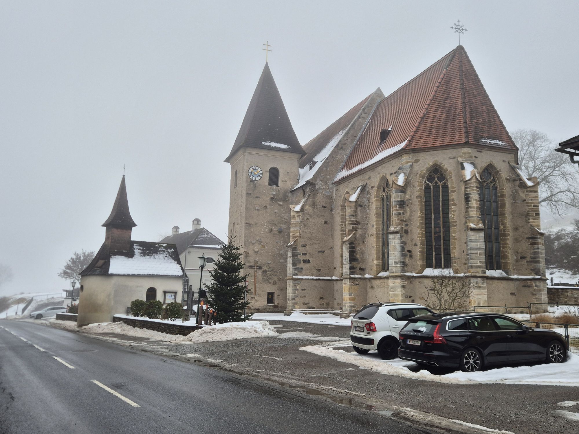
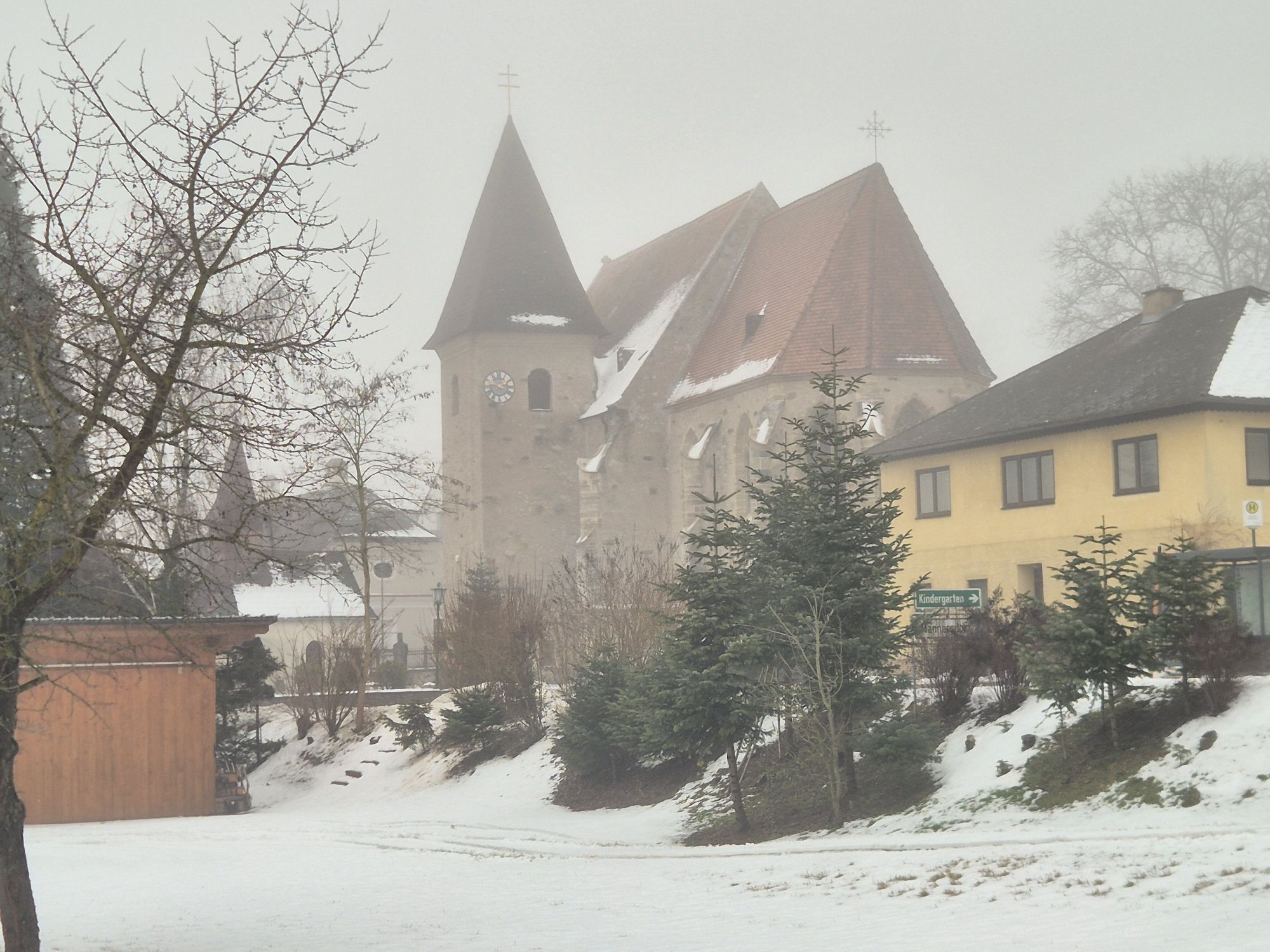
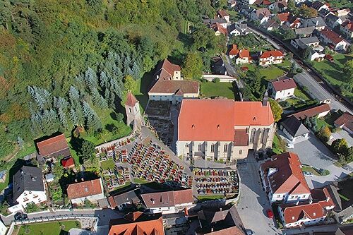
A visit to the Heiligenblut pilgrimage church (between Weiten and Raxendorf) is highly recommended.
At the High Jauerling, the nature park offers a trail. The path "over us the wide, wide sky" is perfect for a walk and provides information about the Jauerling, the nature park communities, and the flora and fauna of the region. Younger hikers are also motivated to walk through the forest along the 10 stations, which can be explored with an app. More information (including map and audio sample) available at .
Popularne wycieczki w okolicy
-
4,5
Welterbesteig Wachau 03: Weißenkirchen-Spitz
światłodługodystansowy szlak pieszy 10,4 km -
4,5
Ausgedehnte Peilsteinrunde
średniWędrówka 13,7 km -
4,4
Durch die Steinwandklamm von Maria Taferl aus
światłoWędrówka 8,26 km -
4,5
Maria Langegg - Rote Wand - Hoher Stein - Kastlkreuz
średniWędrówka 11,4 km -
3,9
Spitz a. d. Donau Jauerling Schwallenbach retour 16.04.2016
średniWędrówka 20 km -
3,9
Spitz - Buchberg - Runde
średniWędrówka 9,60 km -
5,0
Welterbesteig Wachau 08: Emmersdorf-Melk
światłodługodystansowy szlak pieszy 9,90 km -
4,9
LAIMBACH Ostrong Peilstein 20220716
średniWędrówka 7,70 km -
4,1
Rote Wand und Hoher Stein
średniWędrówka 7,80 km -
4,4
St. Michael - Buschandlwand - Runde
średniWędrówka 10,6 km

Wędrówki i tropienie


Nie przegap ofert i inspiracji na następne wakacje
Twój adres e-mail została dodana do listy mailingowej.