


Lebensweg - Stage 8: 40 - 50 years: Awareness / Doubts

You could now actually lean back comfortably, after all, you've made it. We are doing well, right? The debts are paid off, the children are growing up or even already out of the house.
The question of meaning...
You could now actually lean back comfortably, after all, you've made it. We are doing well, right? The debts are paid off, the children are growing up or even already out of the house.
The question of meaning arises again, sometimes cautiously and quietly, sometimes loudly and urgently.
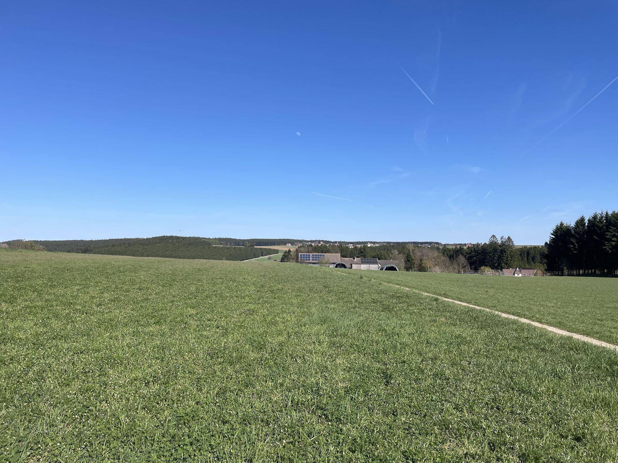
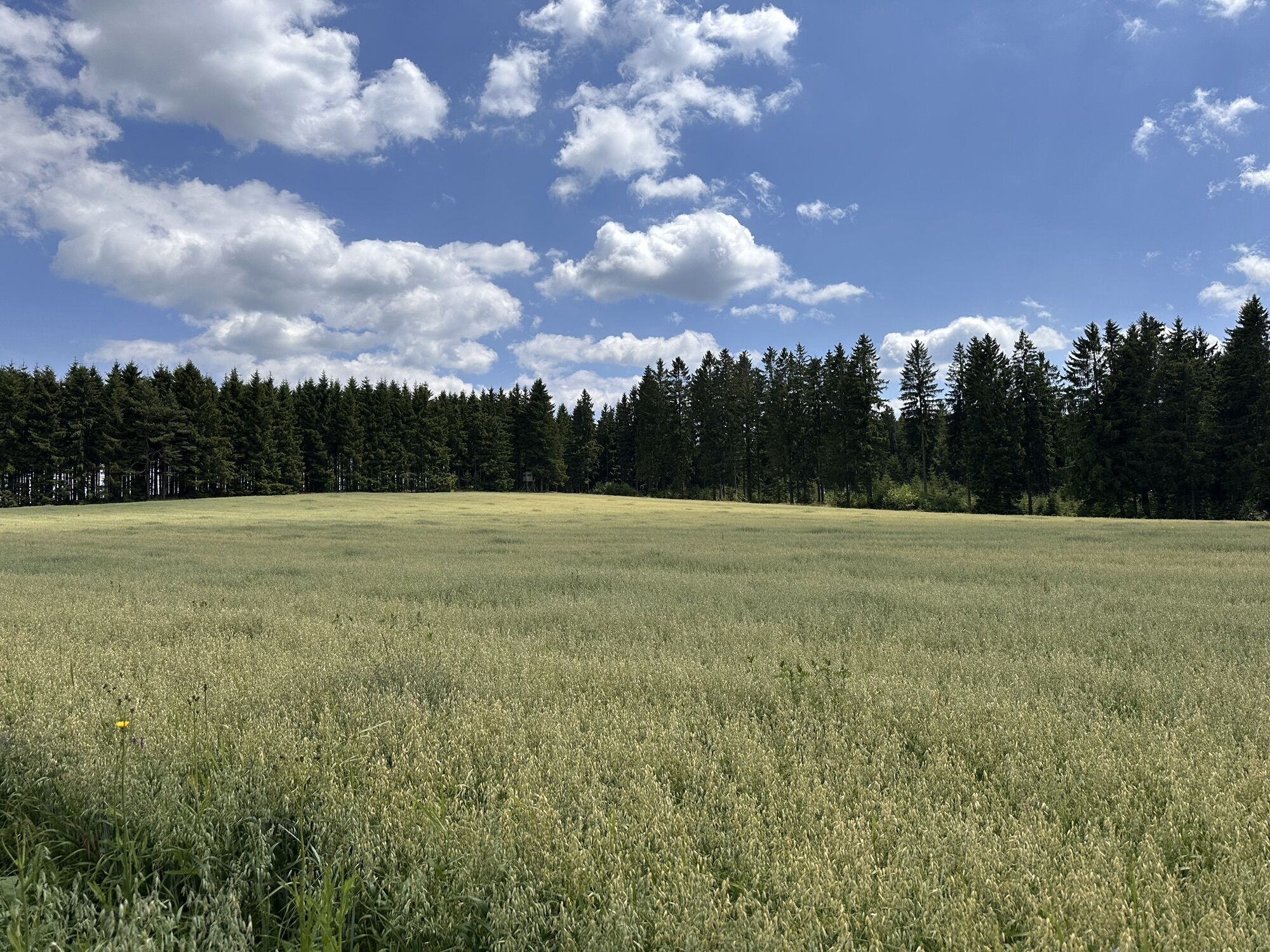
Between 40 and 50 there is the chance to break the routine, to rediscover yourself and "reformat". To become curious again, to treat yourself to something, much that you cannot buy. Look at your life as you walk!

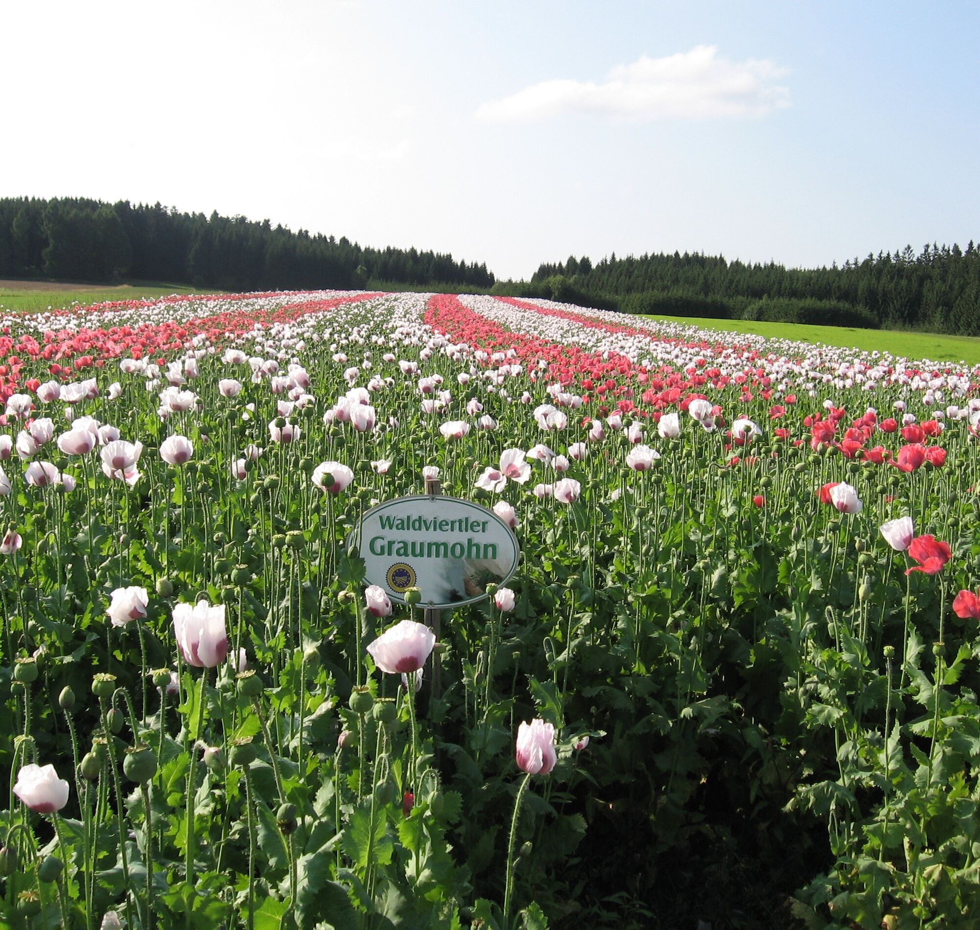
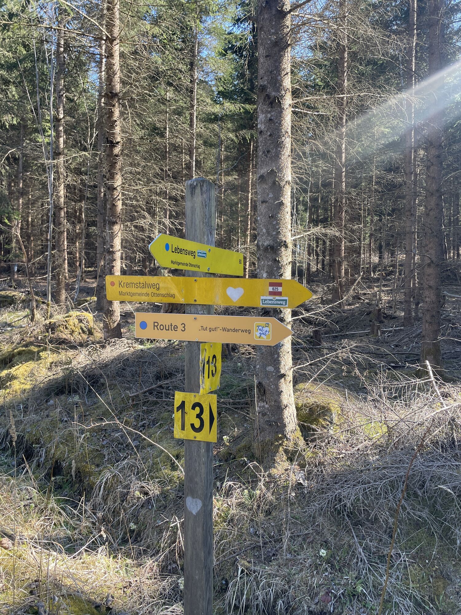
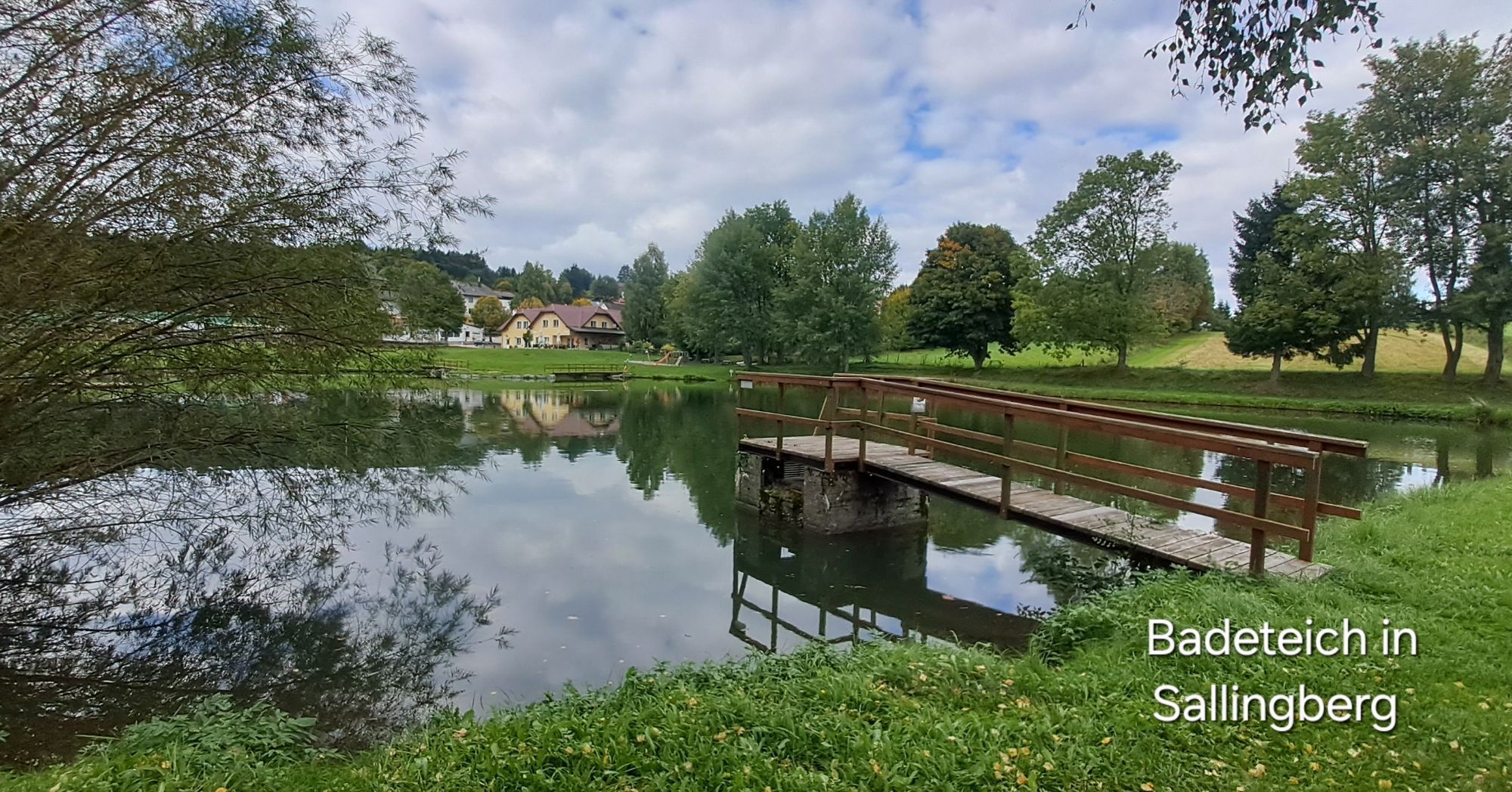
From the world main poppy location over the Weyrerteich to the Wachtstein
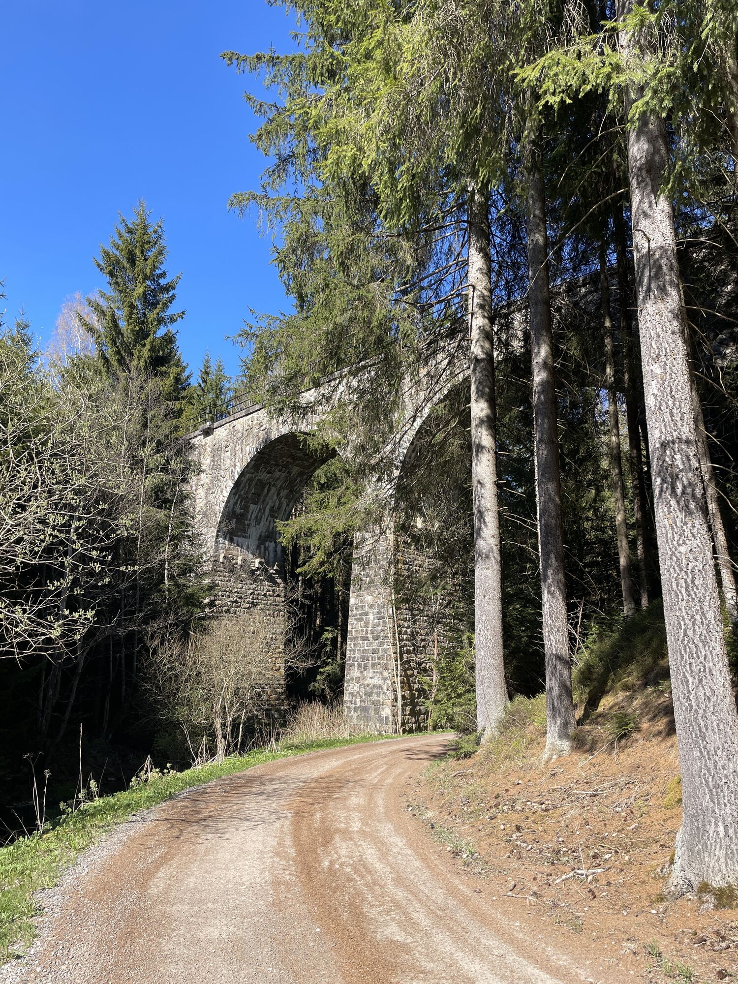
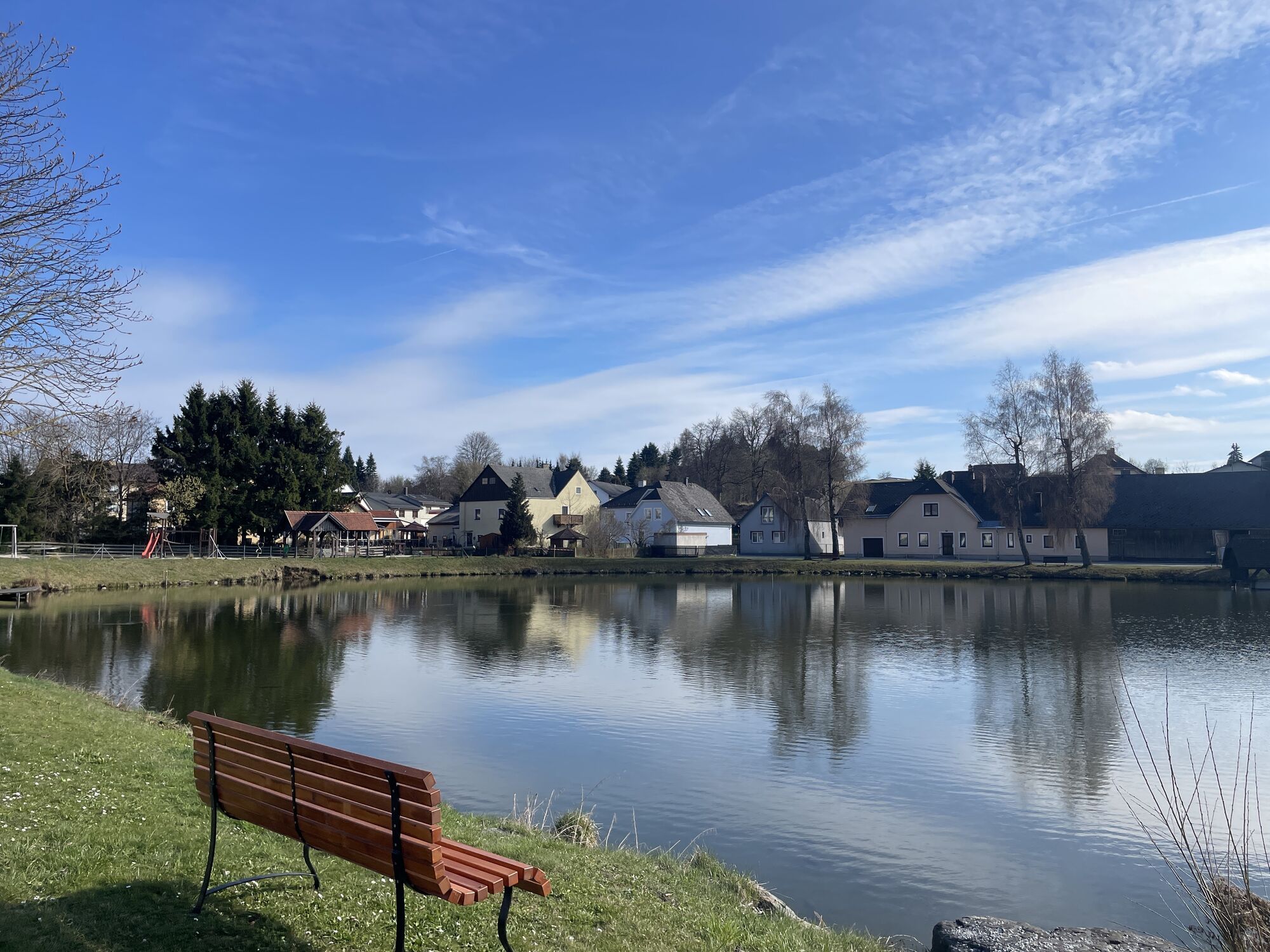
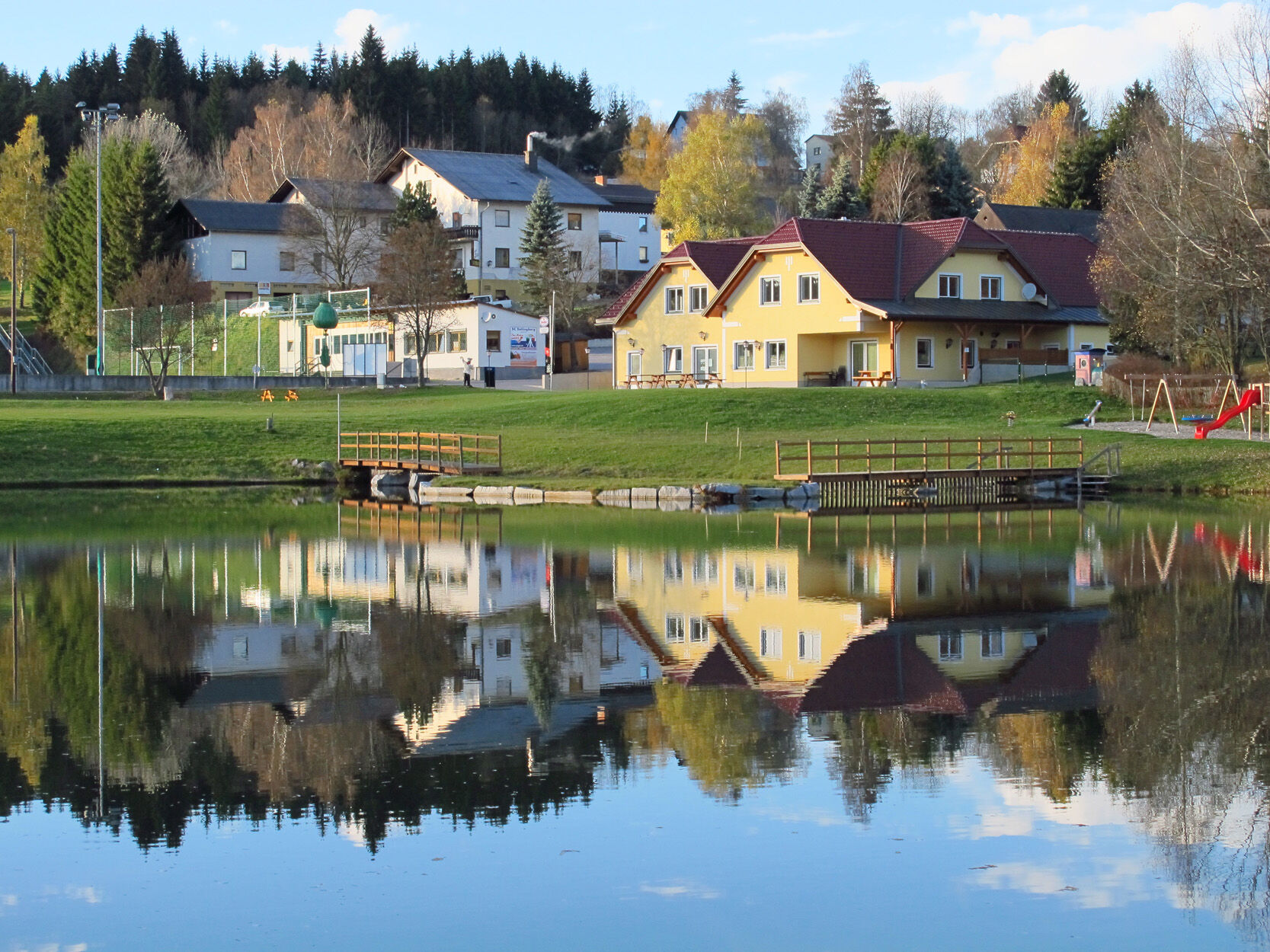
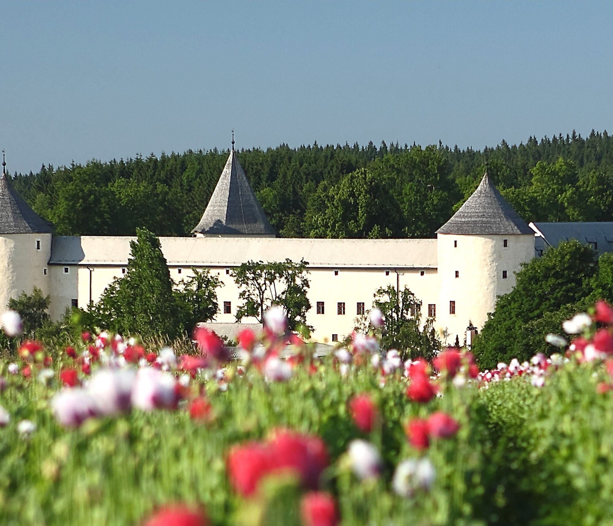
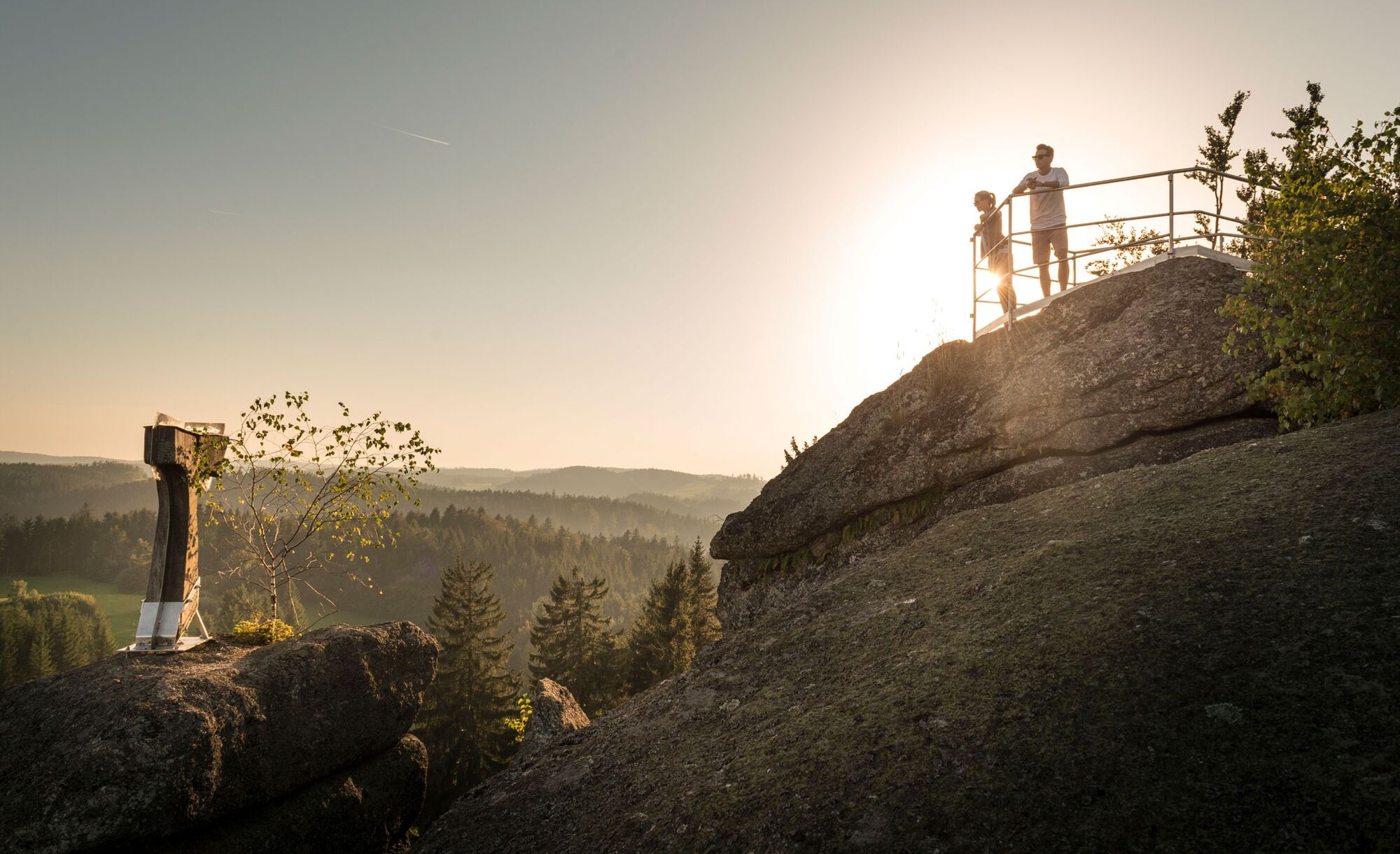
To "poppy yourself" – that's easy in the poppy village Armschlag! … After that, it continues to Ottenschlag, where the castle shapes the townscape. The path leads towards Bad Traunstein, past the Weyrerteich with the striking viaduct – after a stretch through a high forest, you can already see the church of Bad Traunstein. At Wachtstein, a wonderful view opens up.
From Vienna via the A22 Stockerau – via Krems S5 and B37 into the Waldviertel
From Vienna via the A1 St. Pölten – S33 Krems – B37 into the Waldviertel
From Salzburg or Upper Austria – Linz – A1 exit Ybbs – B36 into the Waldviertel
Association for the Establishment and Expansion of the Lebensweg
3631 Ottenschlag, Unterer Markt 10
(E) office@lebensweg.info
(I) www.lebensweg.info
Tourism Office Ysper-Weitental
3683 Yspertal, Hauptstraße 9
(T) +43 7415 6767 25
(E) info.yw@waldviertel.at
Waldviertel Tourism
3910 Zwettl, Sparkassenplatz 1/2/2
(T) +43 2822 54109
(E) info@waldviertel.at
(I) www.waldviertel.at
Aktywności na trasie
-

Sallingberg, Niederösterreich/Österreich
30.05.2026 – Wędrówka -

Lebensweg NÖ, Etappe: Sallingberg>Spielberg b.Bad Traunstein
03.10.2025 – Wędrówka -

Ottenschlag, Lower Austria/Austria
30.09.2025 – Wędrówka -
Sallingberg, Lower Austria/Austria
29.09.2025 – Wędrówka -

Sallingberg, Niederösterreich/Österreich
13.05.2025 – Wędrówka
Popularne wycieczki w okolicy
-
3,9
Yspertal: Druidenweg - Ysperklamm
średniWędrówka 9,56 km -
4,8
Ysperklamm
światłoWędrówka 3,92 km -
4,3
Teddybear Trail Lohnbachfall
światłoTrasa tematyczna 4,41 km -
3,8
Bärnkopf Ysperklammstrecke
ciężkiMountainbike 31,0 km -
4,8
Ysperklamm
średniWędrówka 8,74 km -
4,6
Weinstein tour
średniMountainbike 39,0 km -
4,0
Ysperklammrunde Gutenbrunn Nr. 46
średniWędrówka 16,8 km -
4,8
Auf die Mühldorfer Bärenwand
średniWędrówka 7,70 km -
4,9
Pond route Ottenschlag, "Feel Good" hiking trail
średniTrasa tematyczna 10,0 km -
4,8
Höllfall und Lohnbachfall
Wędrówka 13,8 km
Wędrówki i tropienie


Nie przegap ofert i inspiracji na następne wakacje
Twój adres e-mail została dodana do listy mailingowej.