


Lebensweg - Stage 7: 30 - 40 years Integration / settling down
Zdjęcia naszych użytkowników
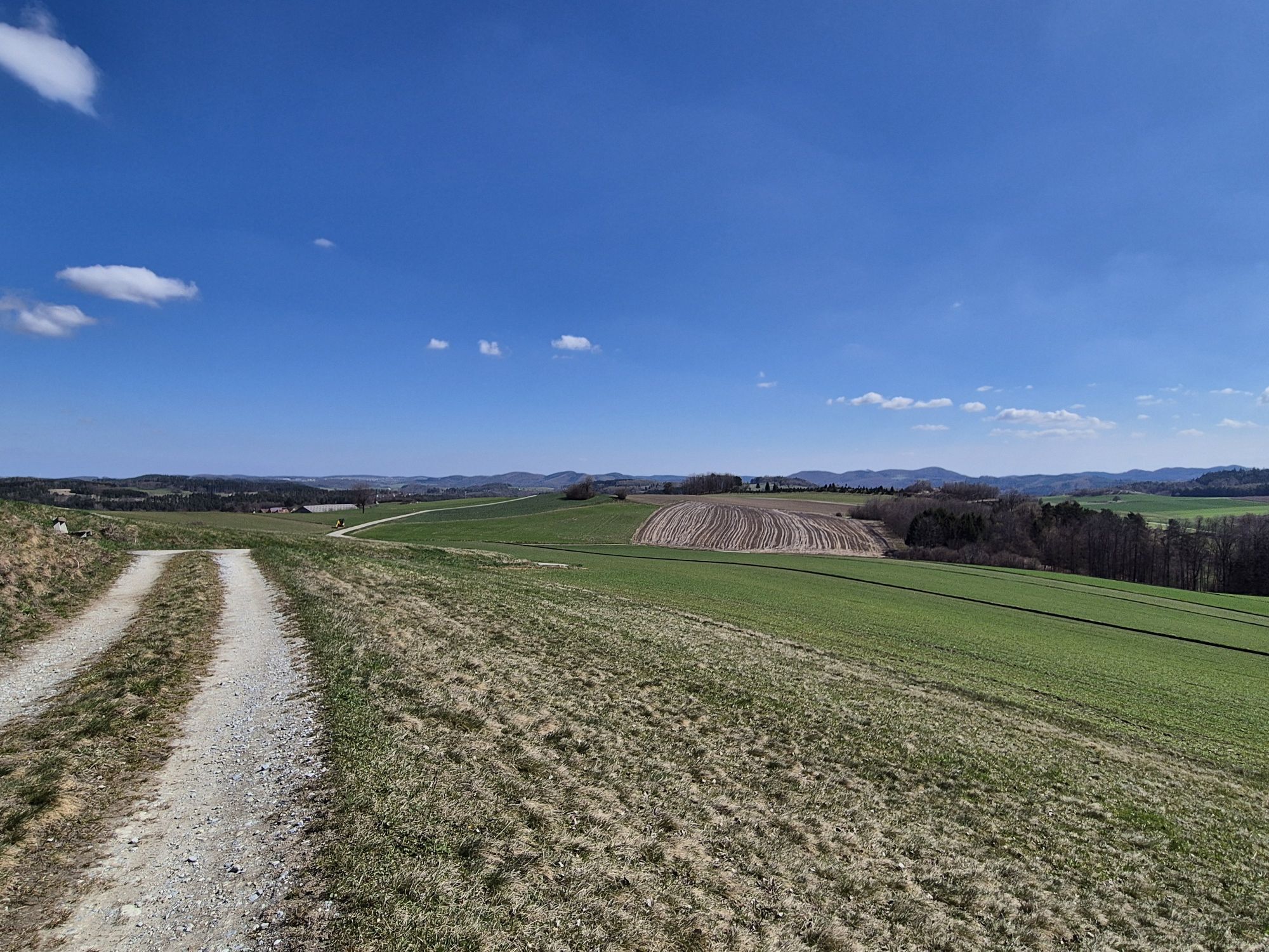
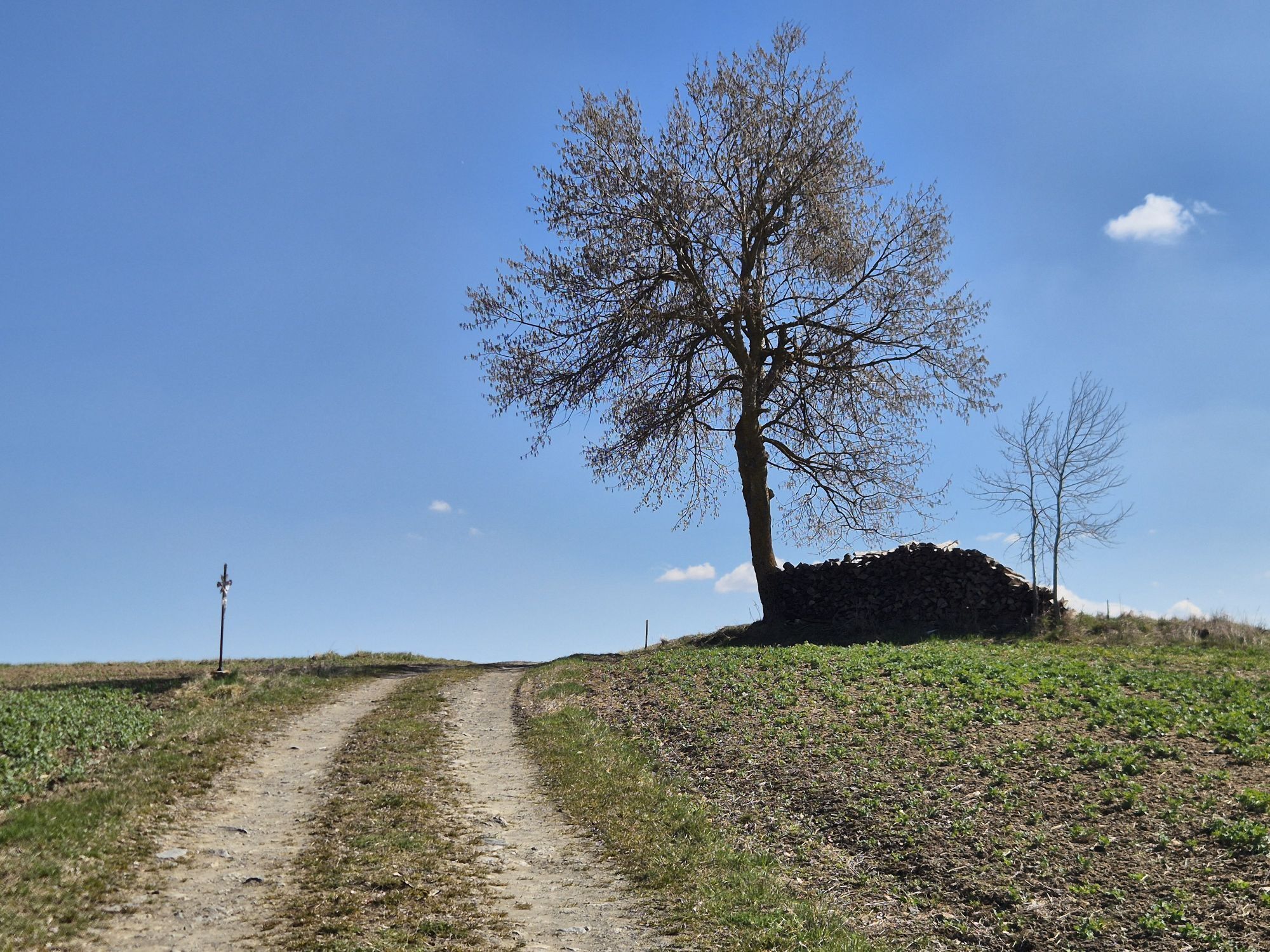
 © josef duermoserUtworzono dnia 03.04.2026
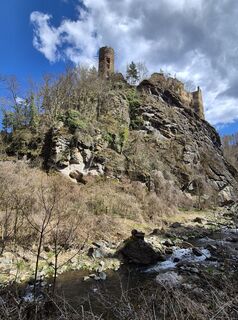 © josef duermoserUtworzono dnia 03.04.2026
 © josef duermoserUtworzono dnia 03.04.2026
 © josef duermoserUtworzono dnia 03.04.2026
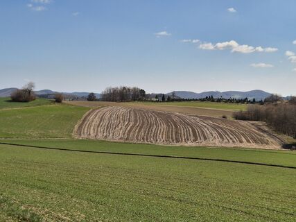 © josef duermoserUtworzono dnia 03.04.2026
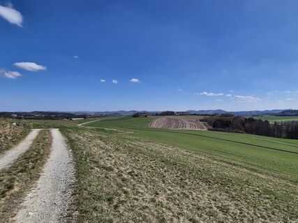 © josef duermoserUtworzono dnia 03.04.2026
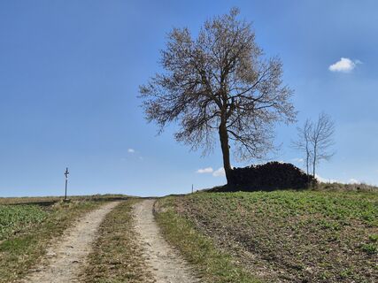 © josef duermoserUtworzono dnia 03.04.2026
 © josef duermoserUtworzono dnia 03.04.2026
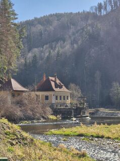 © josef duermoserUtworzono dnia 03.04.2026
 © josef duermoserUtworzono dnia 03.04.2026
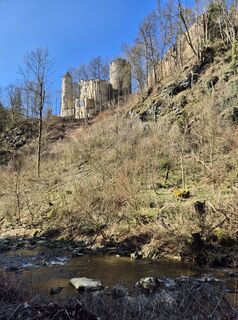 © josef duermoserUtworzono dnia 03.04.2026
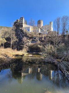 © josef duermoserUtworzono dnia 03.04.2026
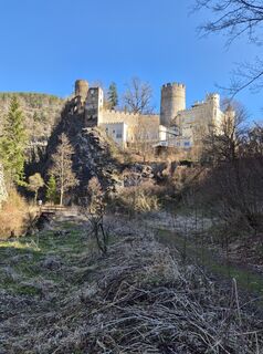 © josef duermoserUtworzono dnia 03.04.2026
 © josef duermoserUtworzono dnia 03.04.2026
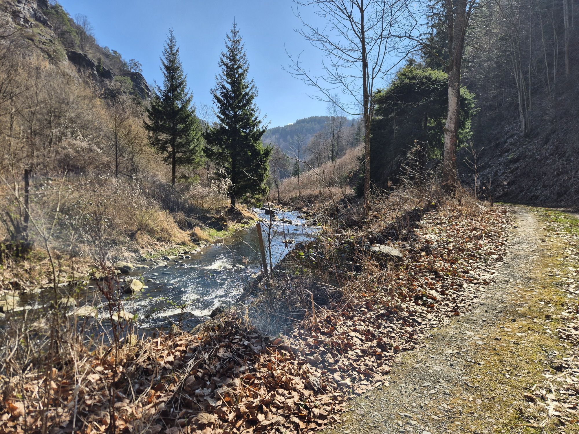
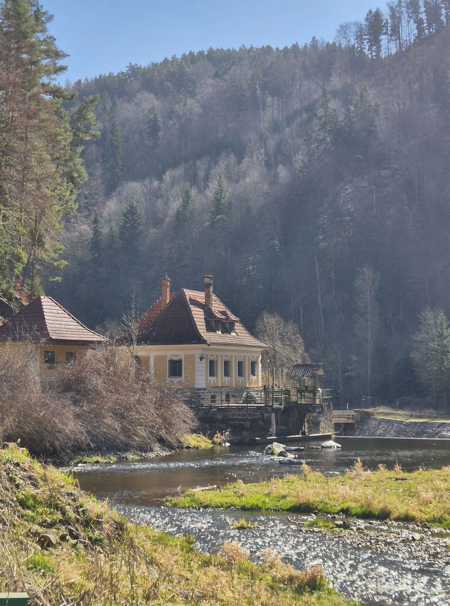
 © zirberlUtworzono dnia 02.10.2025
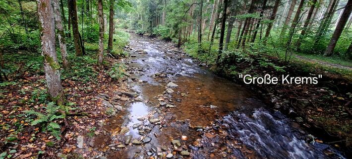 © zirberlUtworzono dnia 02.10.2025
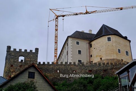 © zirberlUtworzono dnia 01.10.2025
 © zirberlUtworzono dnia 01.10.2025
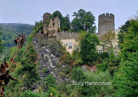 © zirberlUtworzono dnia 01.10.2025
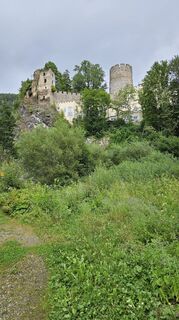
 © Eric StoklassaUtworzono dnia 04.08.2024


Rightly arrived in life! The tracks are set, the foundations of life established. Time brings more and more experiences. Successes, yes, they have come, but there were also losses, separations, injuries....
Rightly arrived in life! The tracks are set, the foundations of life established. Time brings more and more experiences. Successes, yes, they have come, but there were also losses, separations, injuries.
You have integrated into a social network – family, friends, colleagues, you might be involved in a club. Treat yourself to this stage to regain strength.

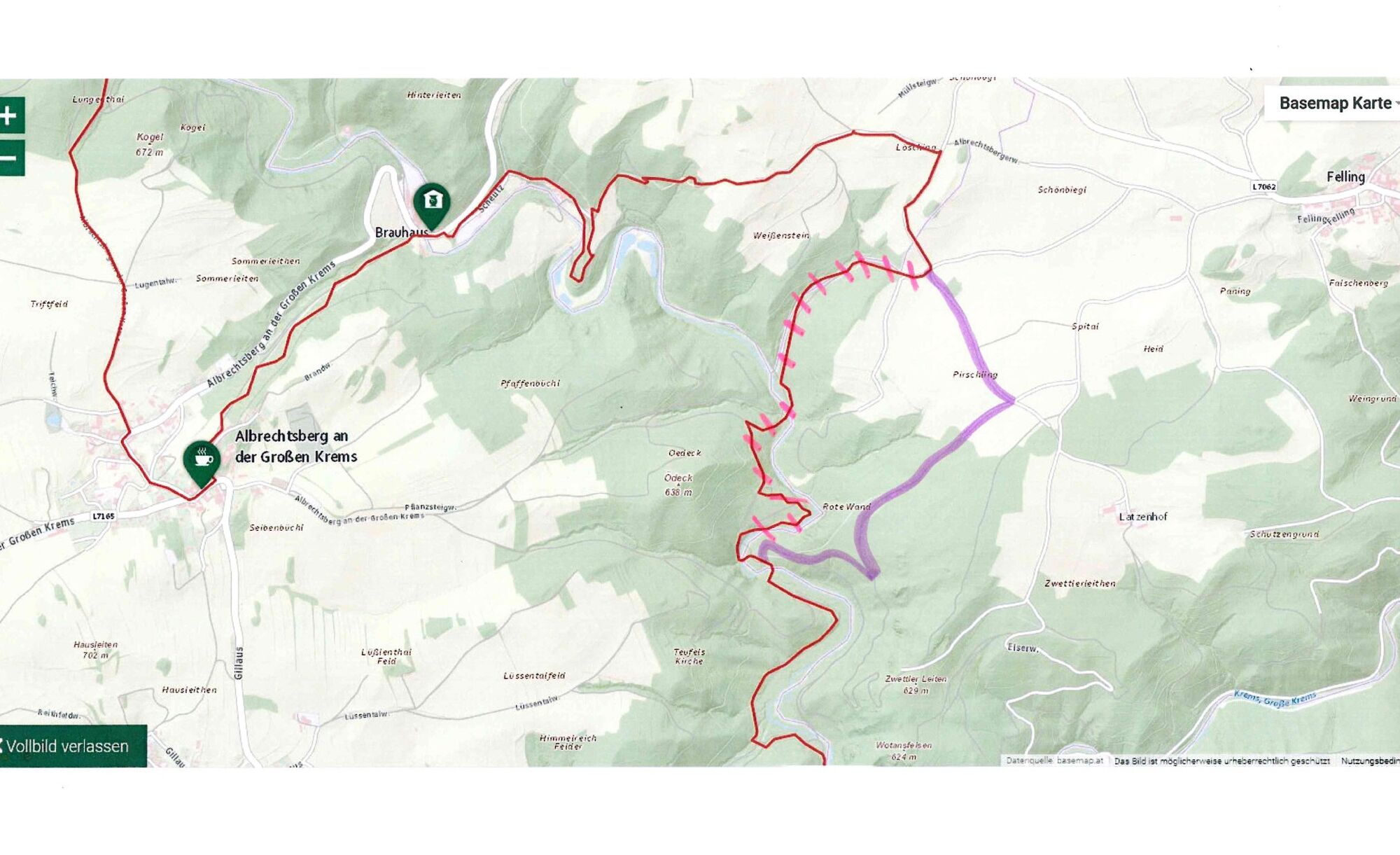
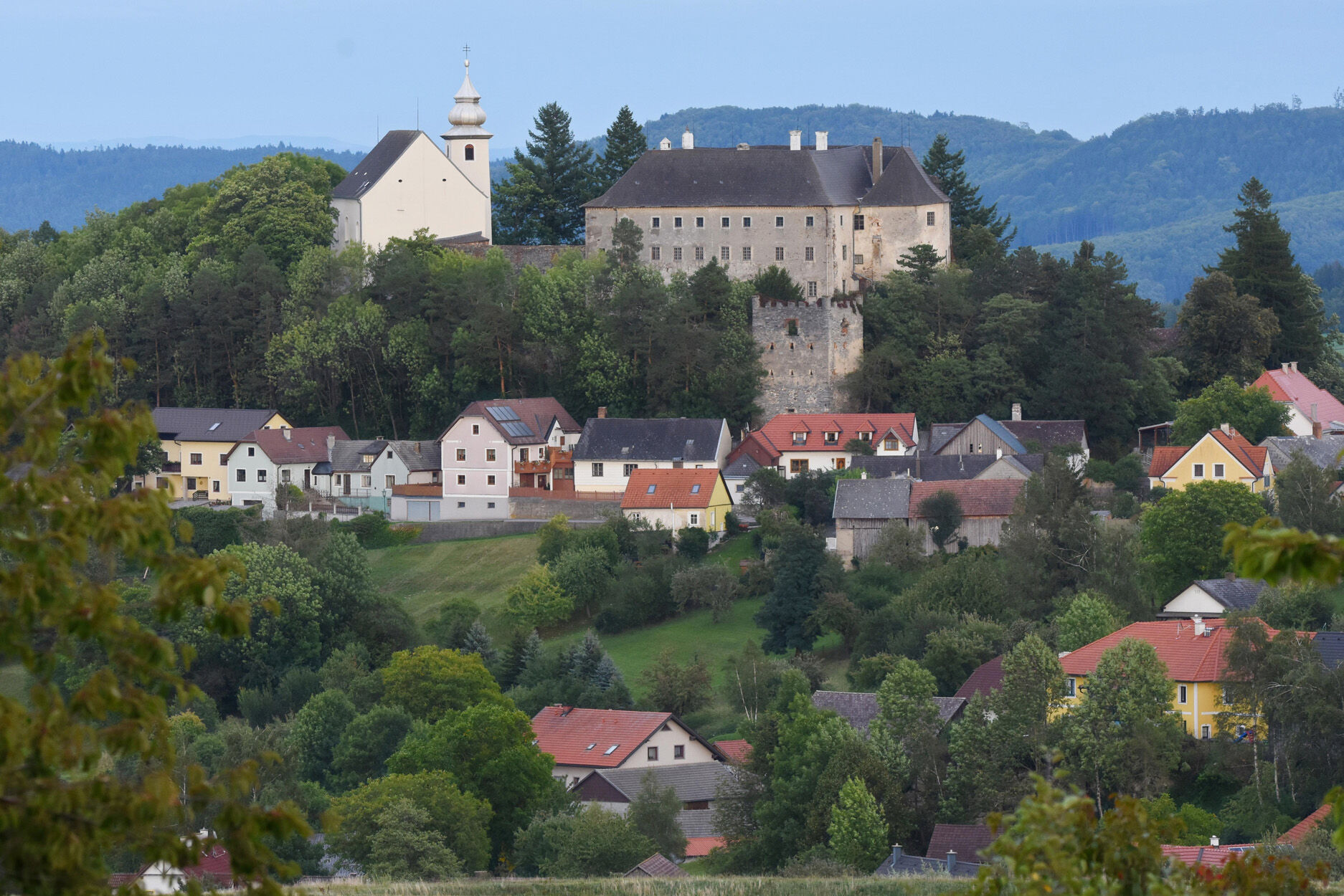
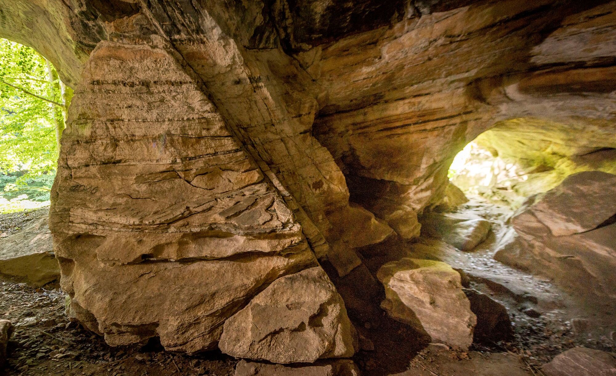
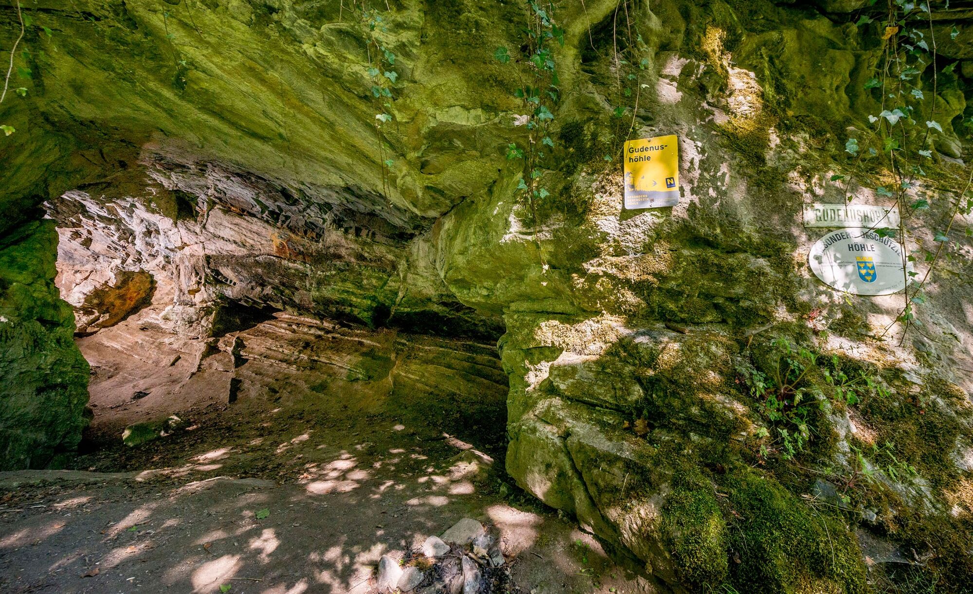
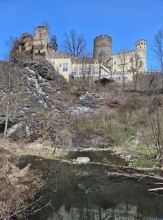
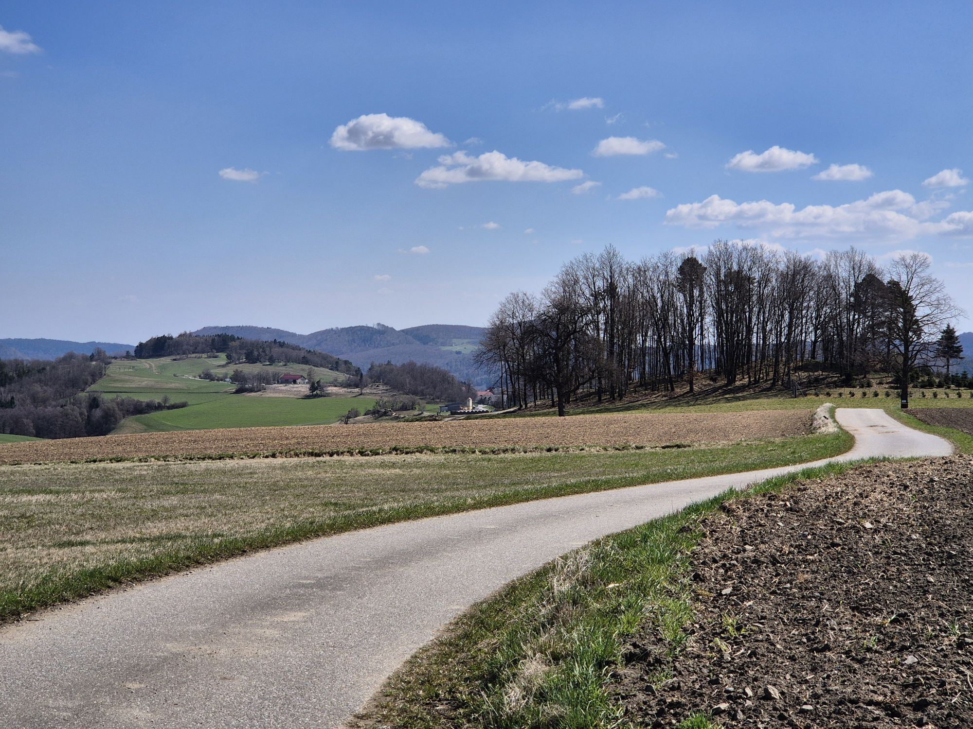
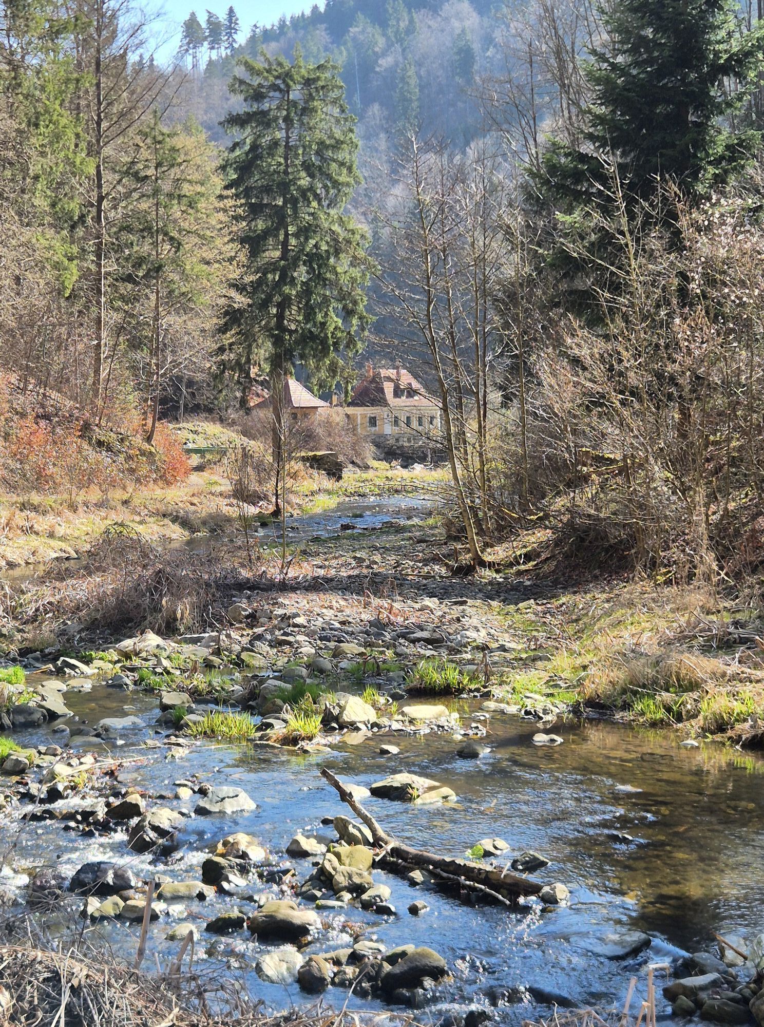
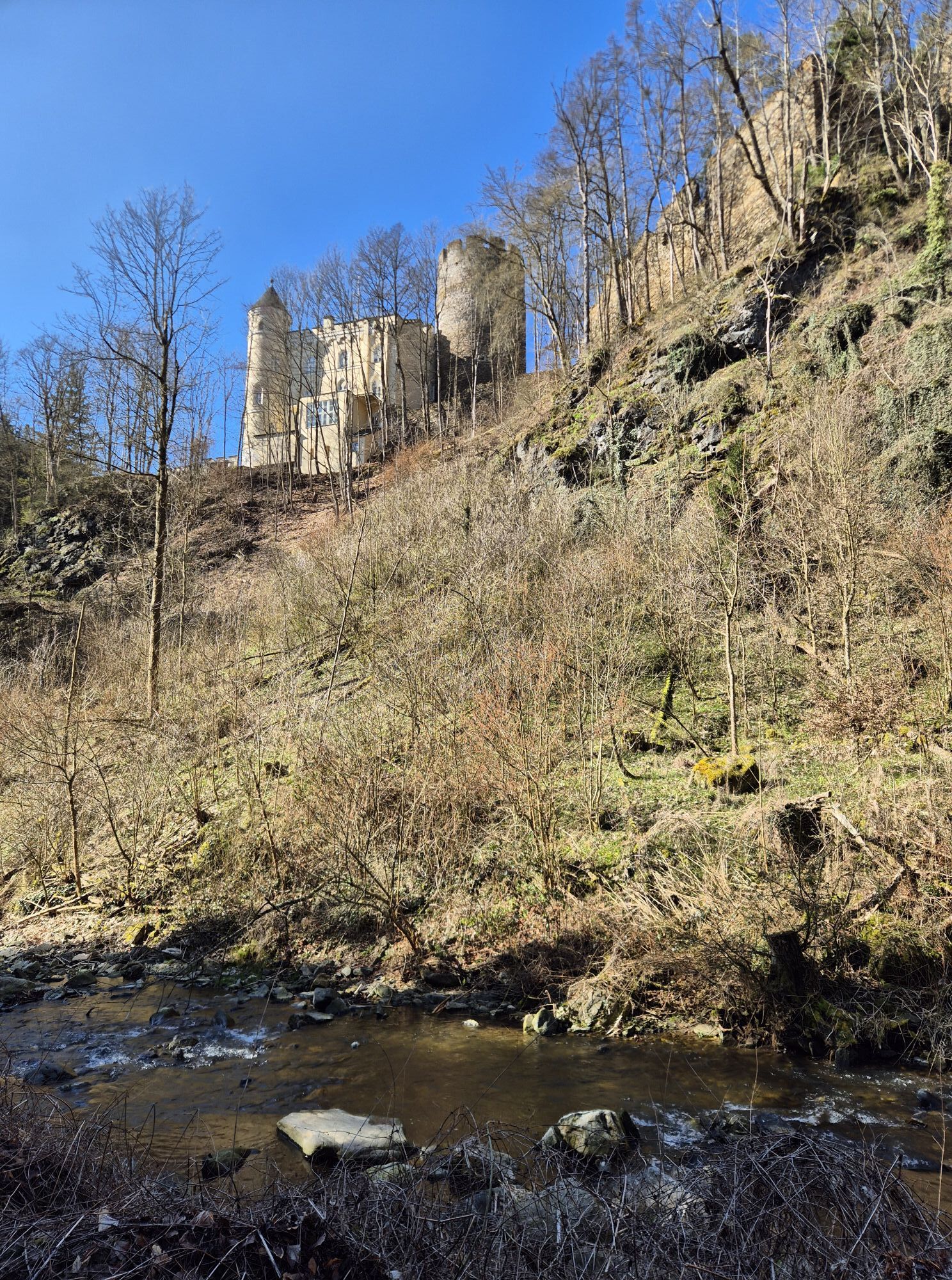
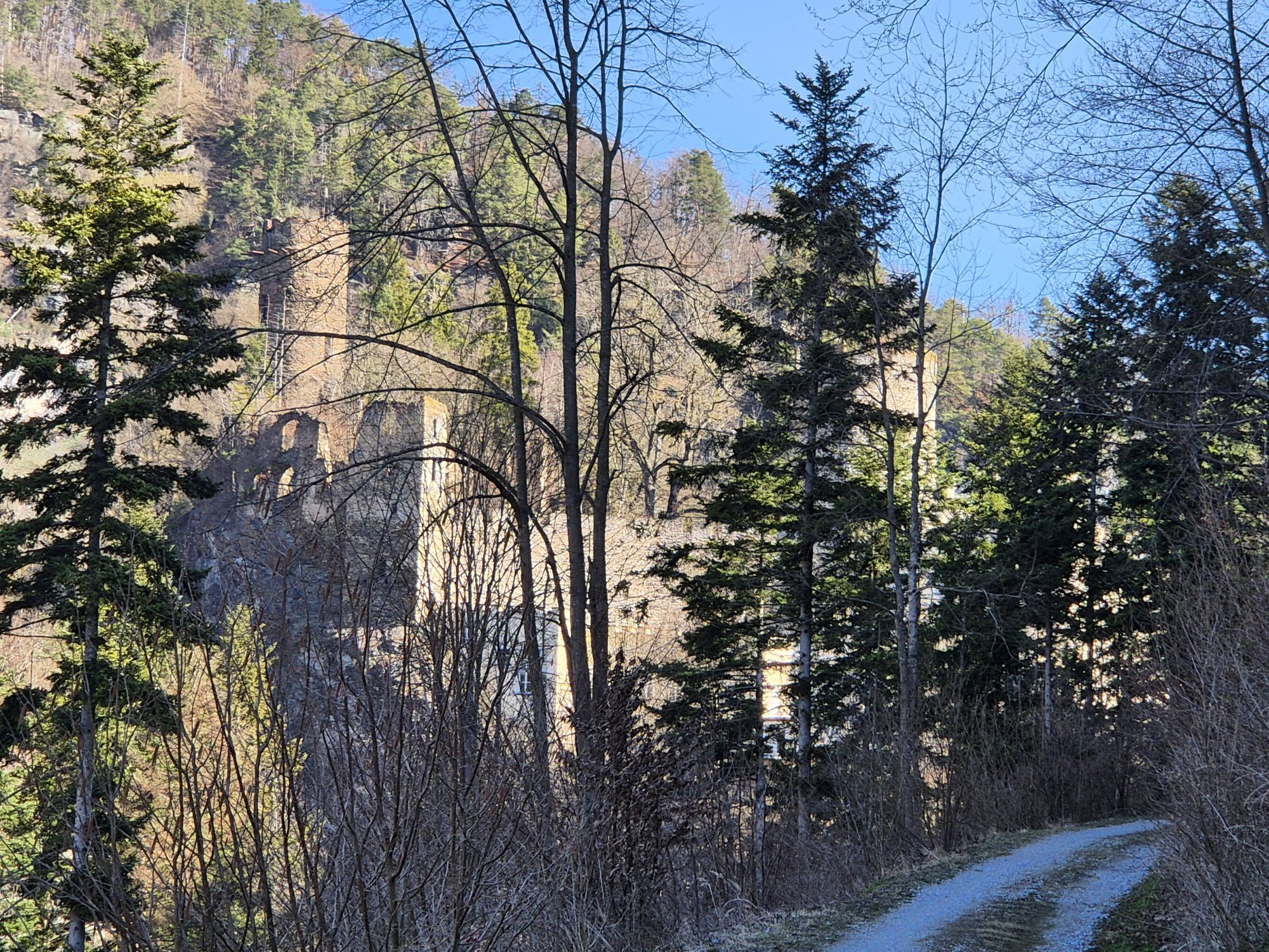
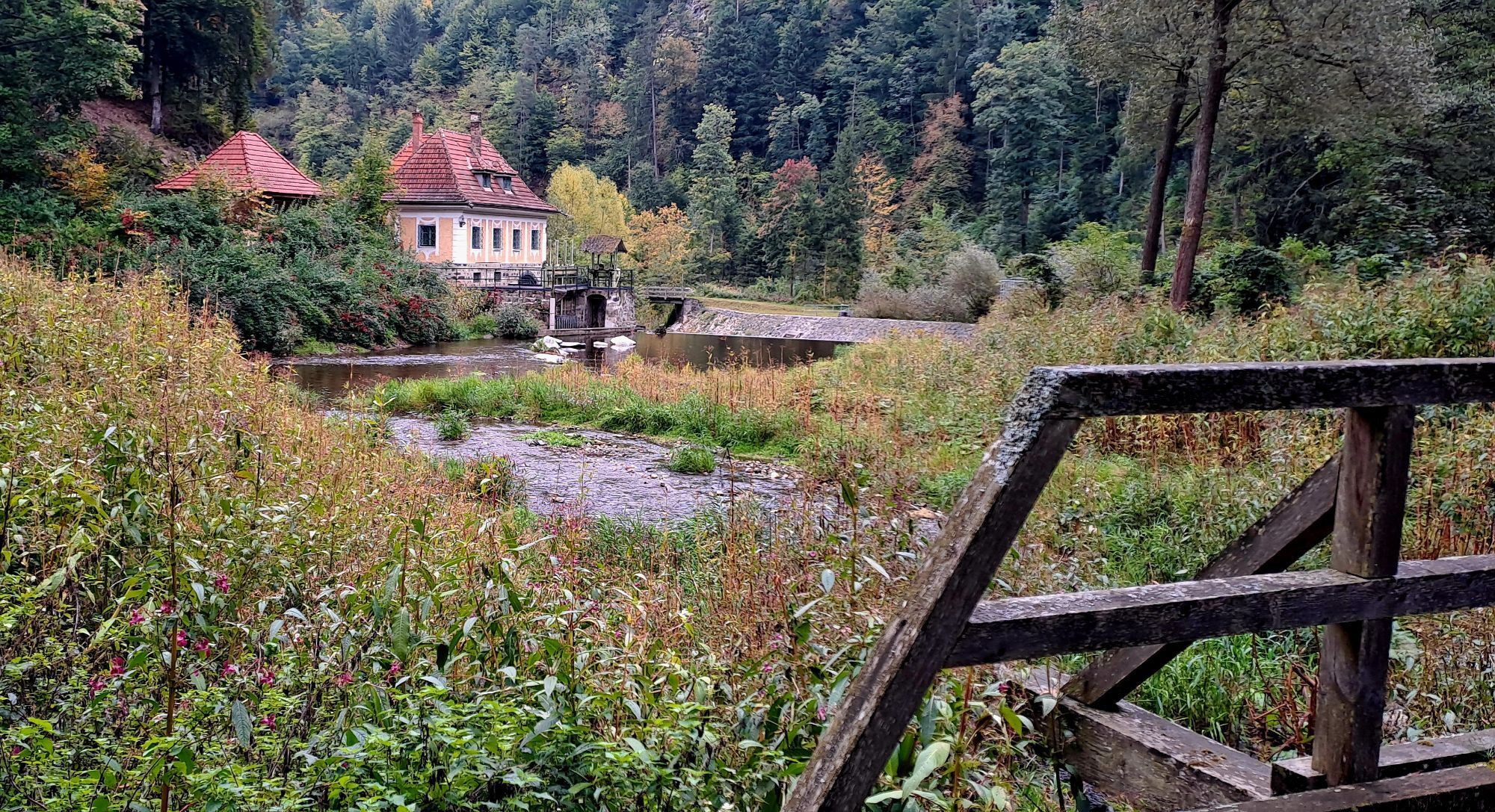
Through the Grand Canyon of the Waldviertel From Els you go down to the Kleine Krems, past Hartenstein Castle, the Gudenushöhle cave to the Zwickl, where Kleine and Große Krems become the Krems. There is a geological educational trail, and a little off the actual hiking trail are the Eichmeier cave, the Schusterlucke, and the Teufelskirche to visit. After that, most of the route follows the Große Krems. From Els you can see the church in Albrechtsberg, only 3 km away. Hard to imagine that it should take 4 to 5 hours to get there.
From Vienna via the A22 Stockerau – via Krems S5 and B37 into the Waldviertel
From Vienna via the A1 St. Pölten – S33 Krems – B37 into the Waldviertel
From Salzburg or Upper Austria – Linz – A1 exit Ybbs – B36 into the Waldviertel
Association for the establishment and expansion of the Lebensweg
3631 Ottenschlag, Unterer Markt 10
(E) office@lebensweg.info
(I) www.lebensweg.info
Tourism office Ysper-Weitental
3683 Yspertal, Hauptstraße 9
(T) +43 7415 6767 25
(E) info.yw@waldviertel.at
Waldviertel Tourism
3910 Zwettl, Sparkassenplatz 1/2/2
(T) +43 2822 54109
(E) info@waldviertel.at
(I) www.waldviertel.at
Popularne wycieczki w okolicy
- 4,5
Welterbesteig Wachau 02: Dürnstein-Weißenkirchen
światłodługodystansowy szlak pieszy 15,9 km - 4,4
Welterbesteig Wachau 03: Weißenkirchen-Spitz
światłodługodystansowy szlak pieszy 10,4 km - 4,9
Vogelbergsteig -Kanzel- Fesselhütte - Ruine Dürnstein zum Heurigen in Furth
średniWędrówka 7,59 km - 4,7
Wachau: Seekopf - Hirschwand
średniWędrówka 10,4 km - 4,4
Panoramaweg Weissenkirchen
światłoWędrówka 5,04 km - 4,2
Stauseerunde
średniWędrówka 9,56 km - 4,6
Rundhöhenwanderweg Weißenkirchen in der Wachau - Schildhütten - Cholerakreuz - Weißenkirchen
światłoWędrówka 8,75 km - 4,5
Seekopf und Hirschwand
średniWędrówka 2,83 km - 3,9
Spitz a. d. Donau Jauerling Schwallenbach retour 16.04.2016
średniWędrówka 20 km - 3,9
Spitz - Buchberg - Runde
średniWędrówka 9,60 km
Wędrówki i tropienie


Nie przegap ofert i inspiracji na następne wakacje
Twój adres e-mail została dodana do listy mailingowej.