







Donauradweg im Winter Etappe 5 Nordufer: Emmersdorf - Krems

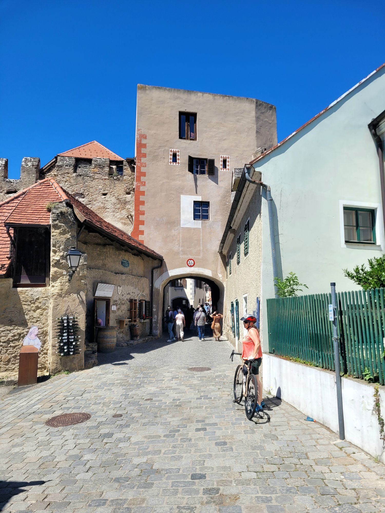
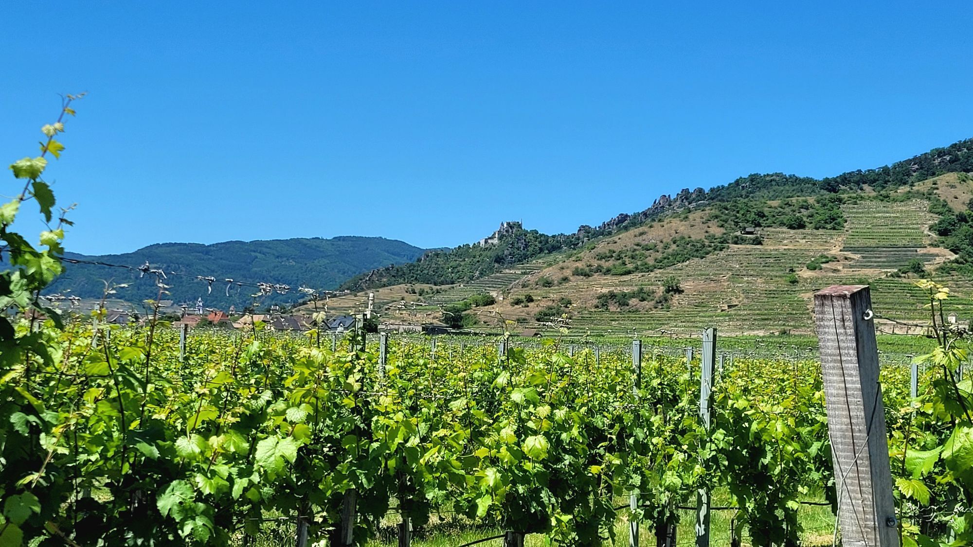
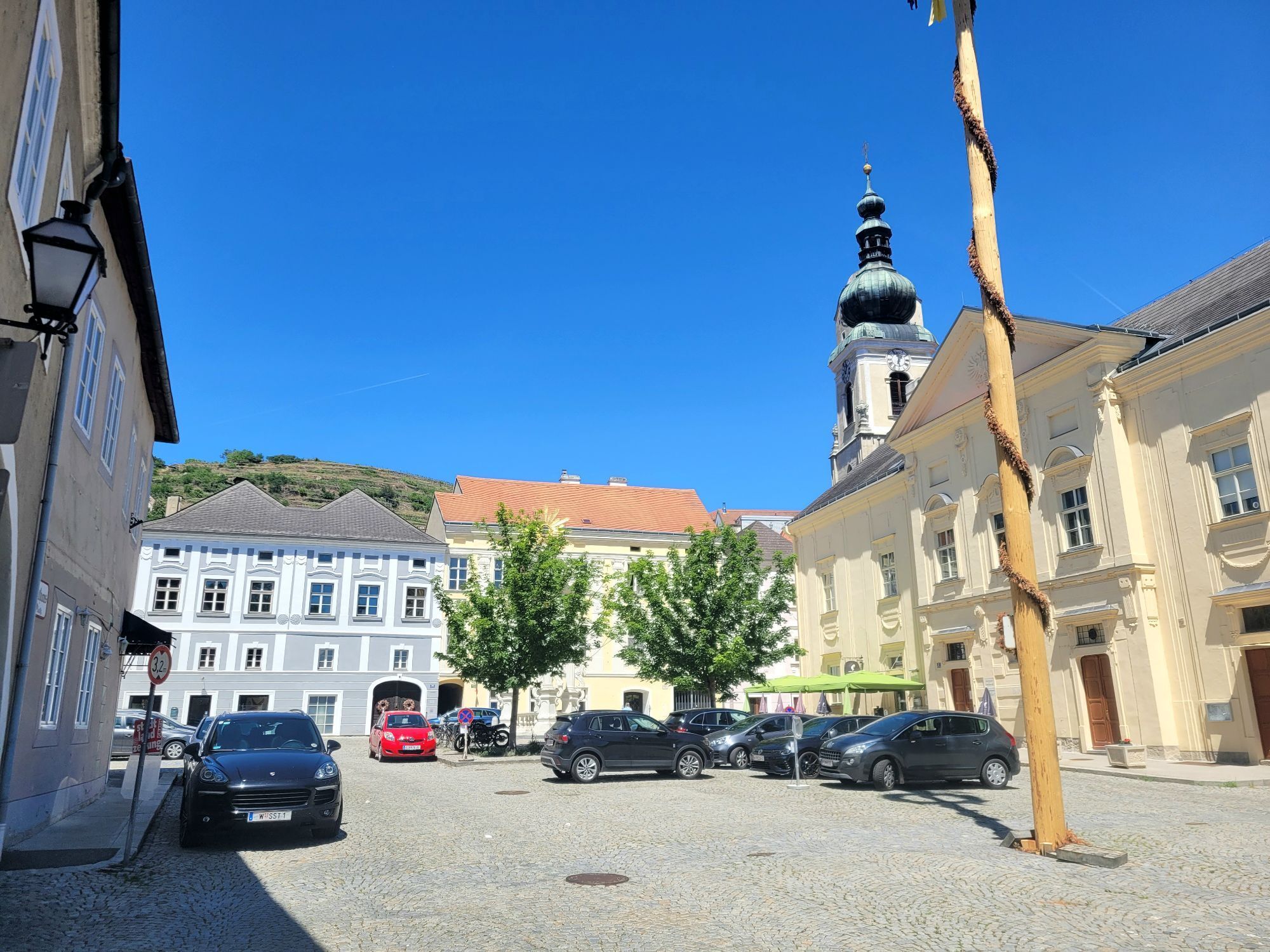
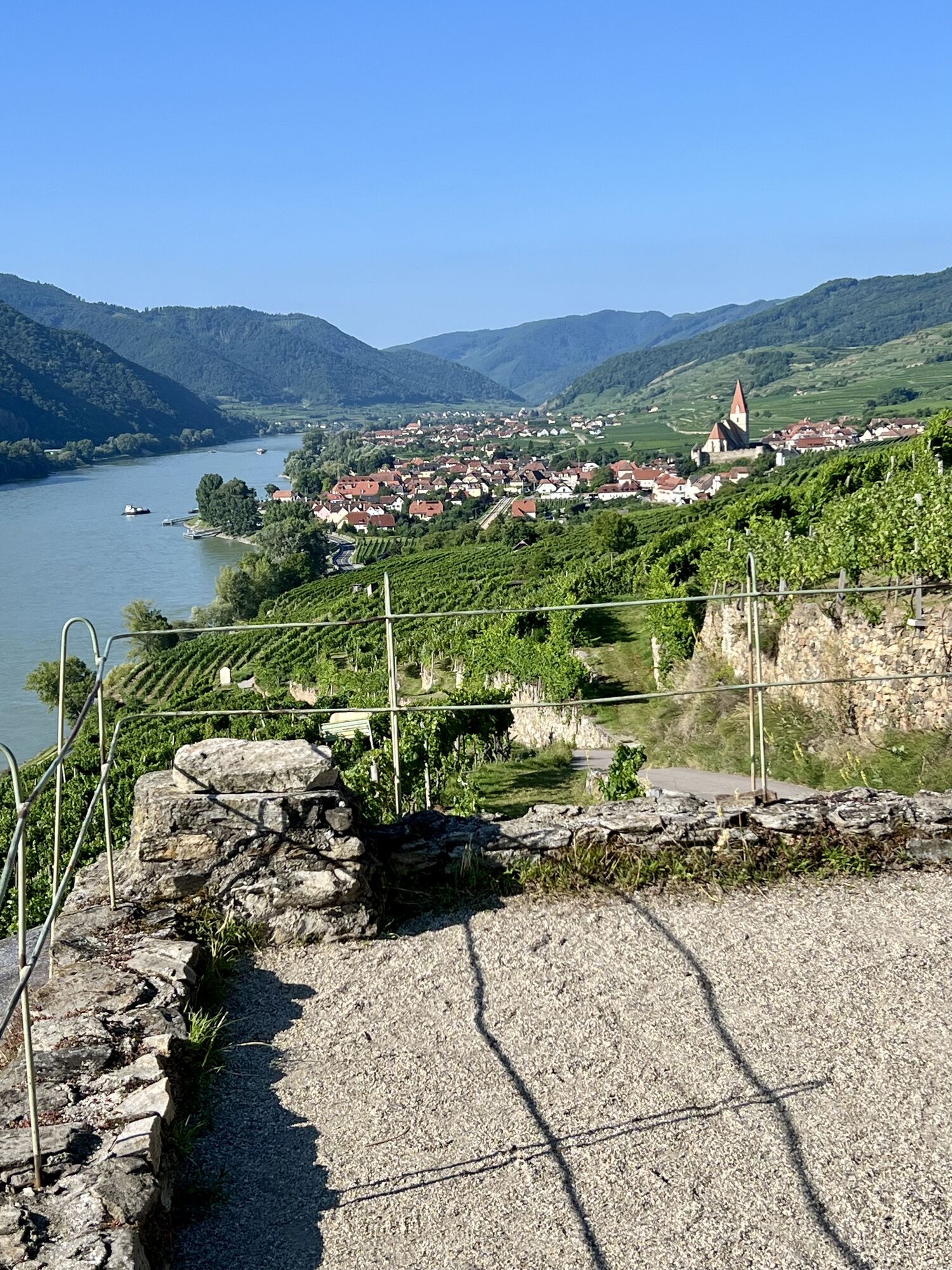

No sooner have you left Emmersdorf than it becomes clear why UNESCO designated the Wachau a World Heritage Site: Rocky cliffs rise from steep forested slopes, vineyards roll gently across the landscape,...
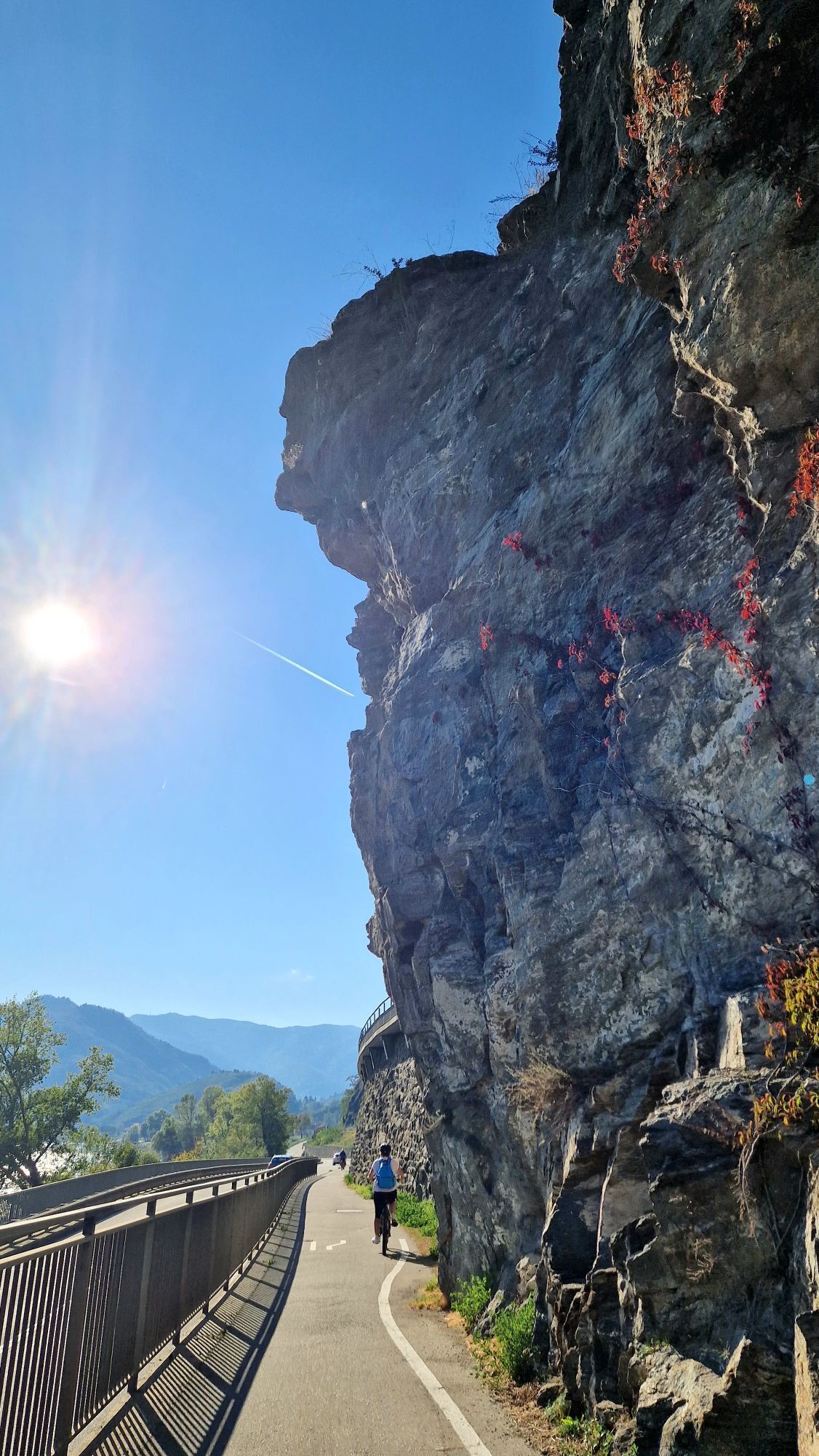
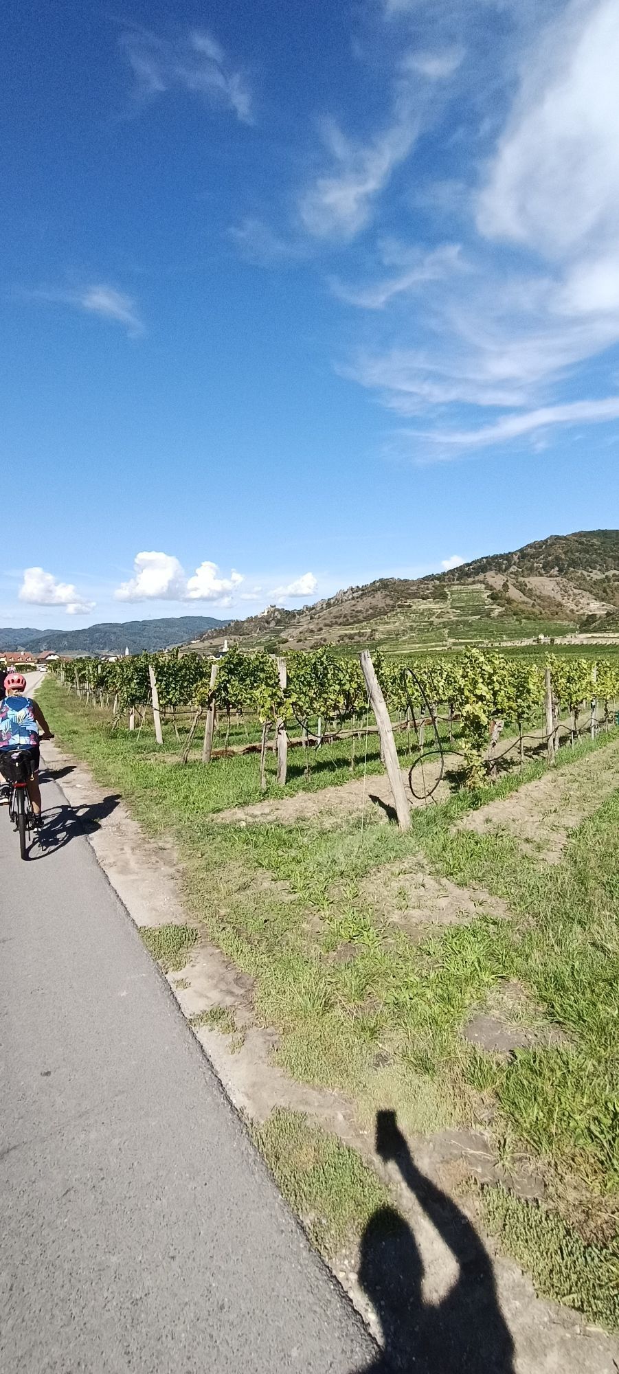
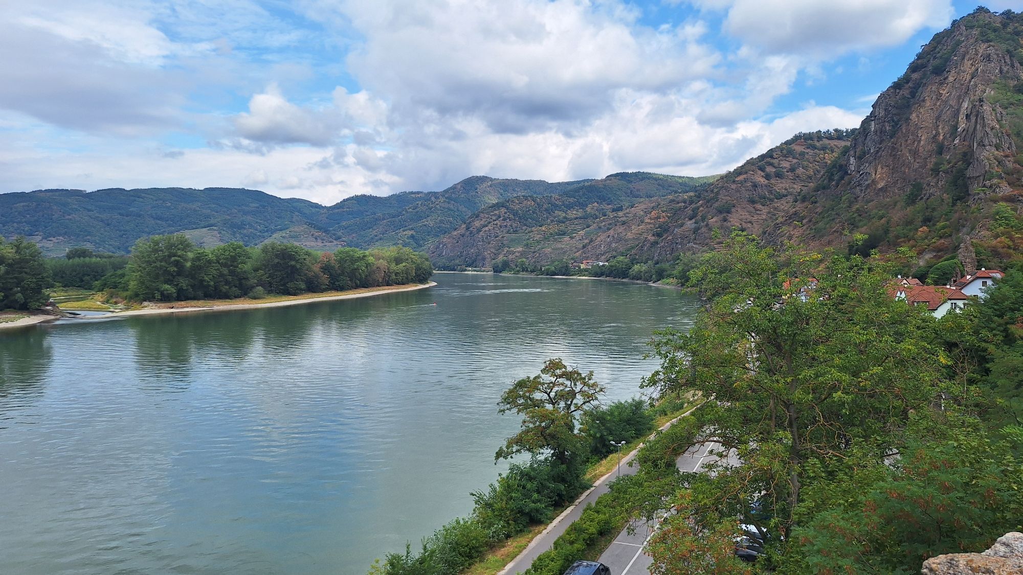
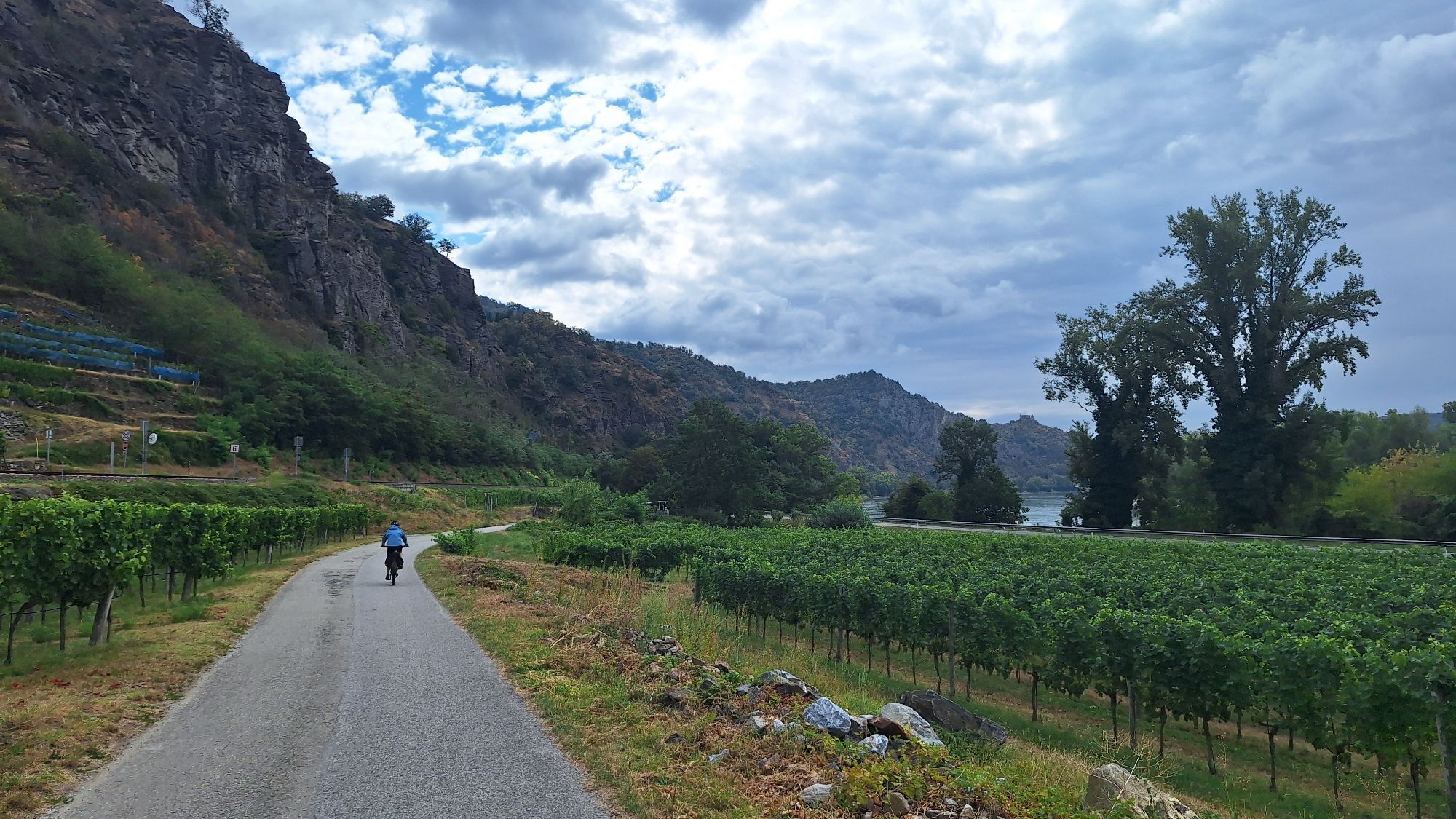
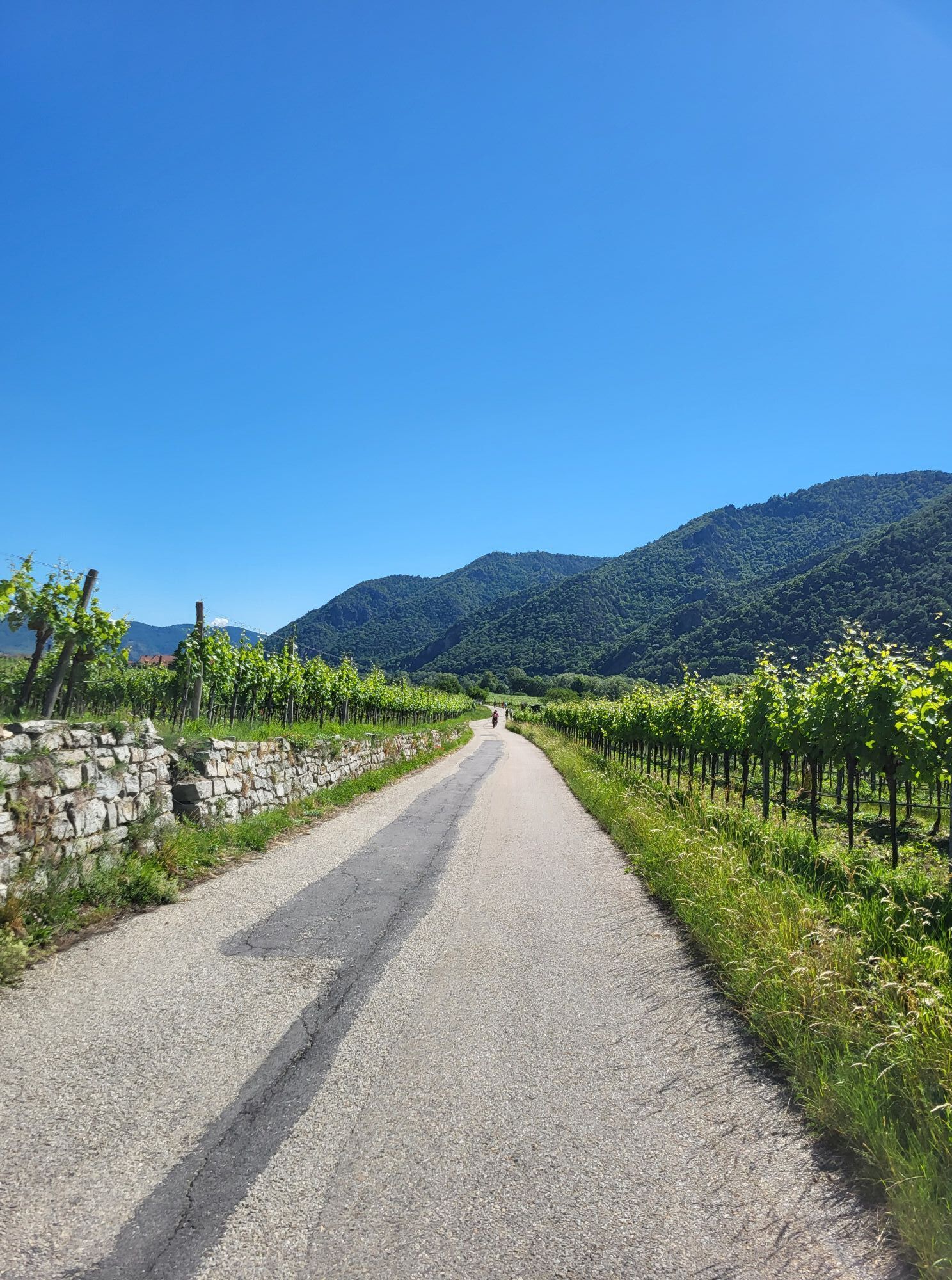
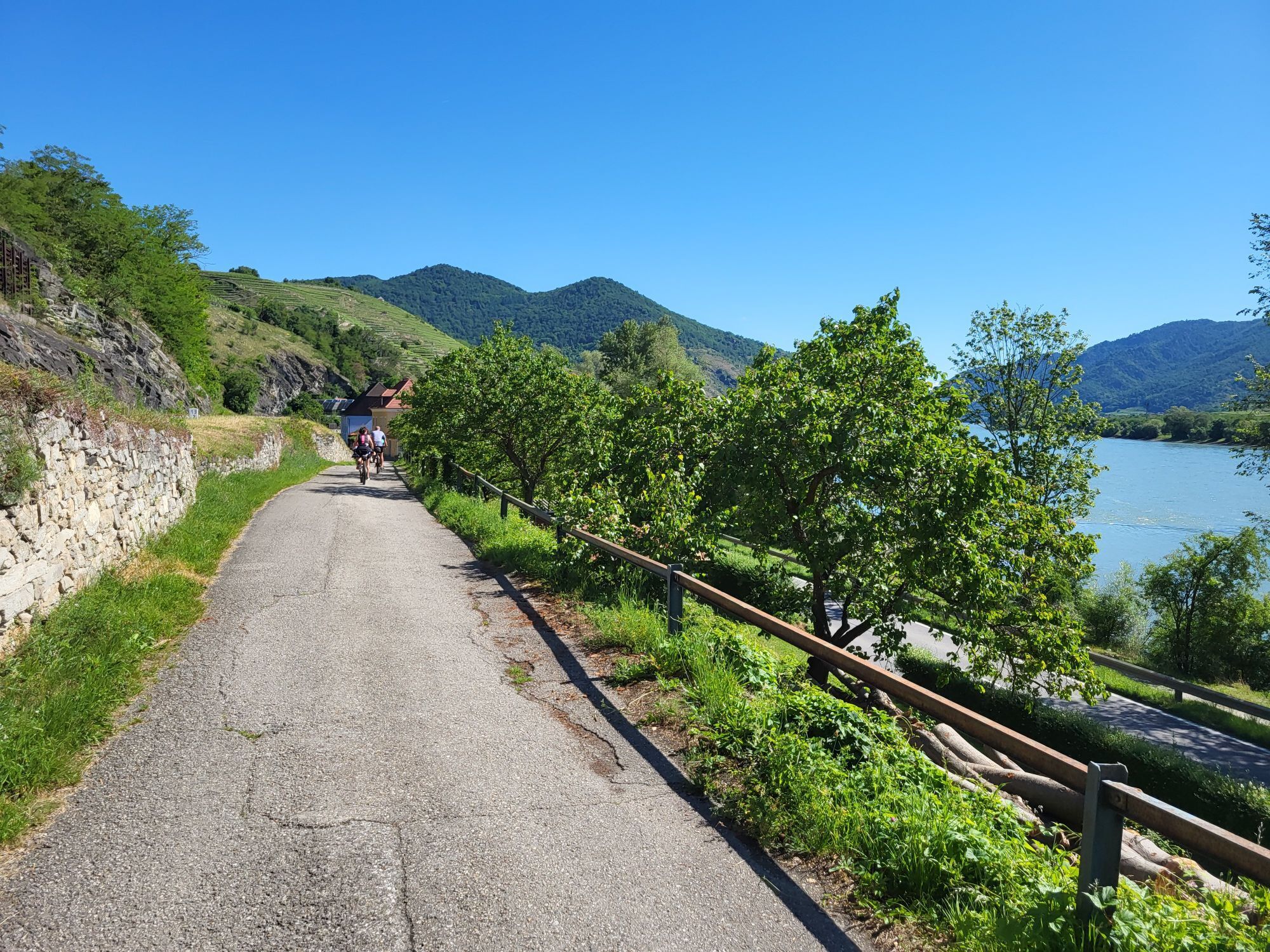
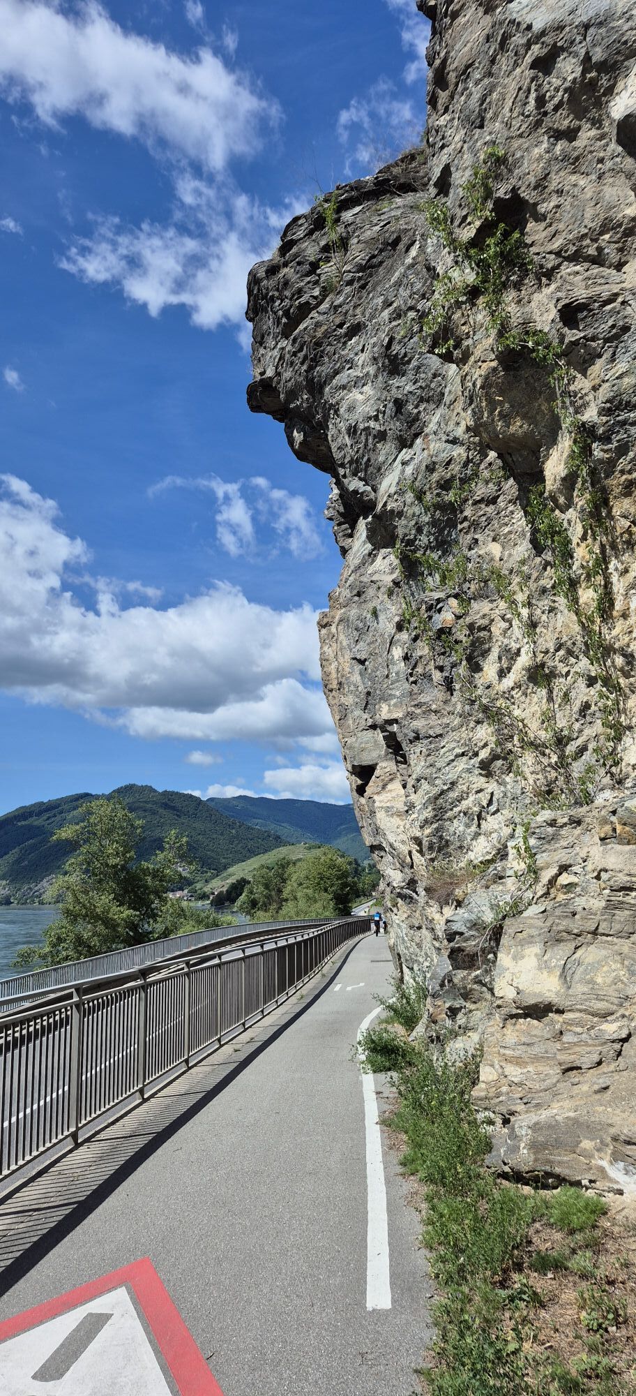
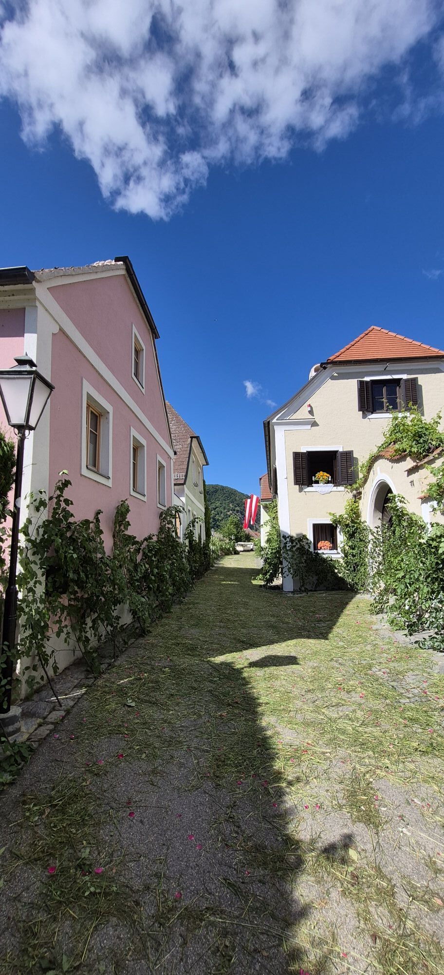
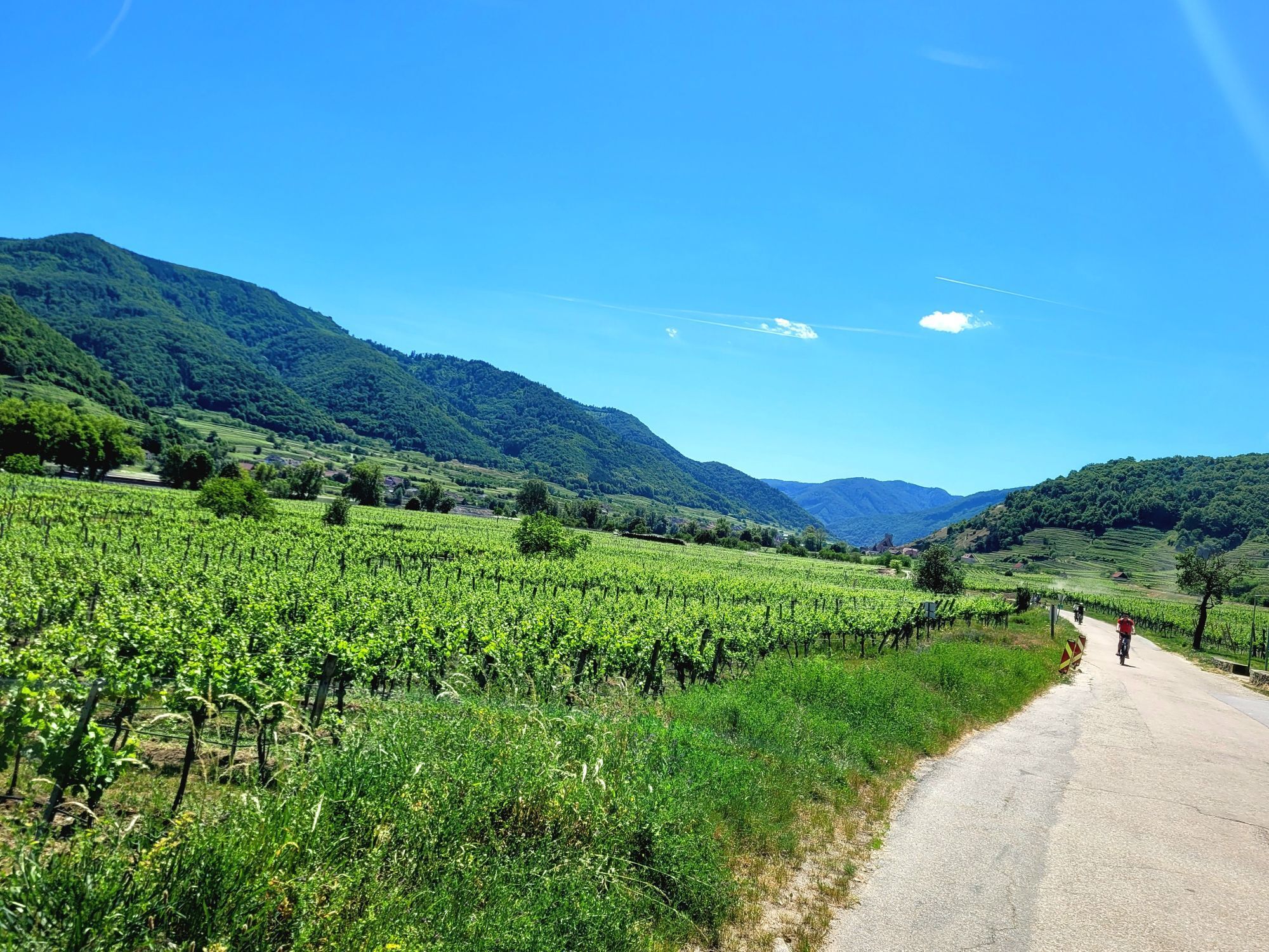
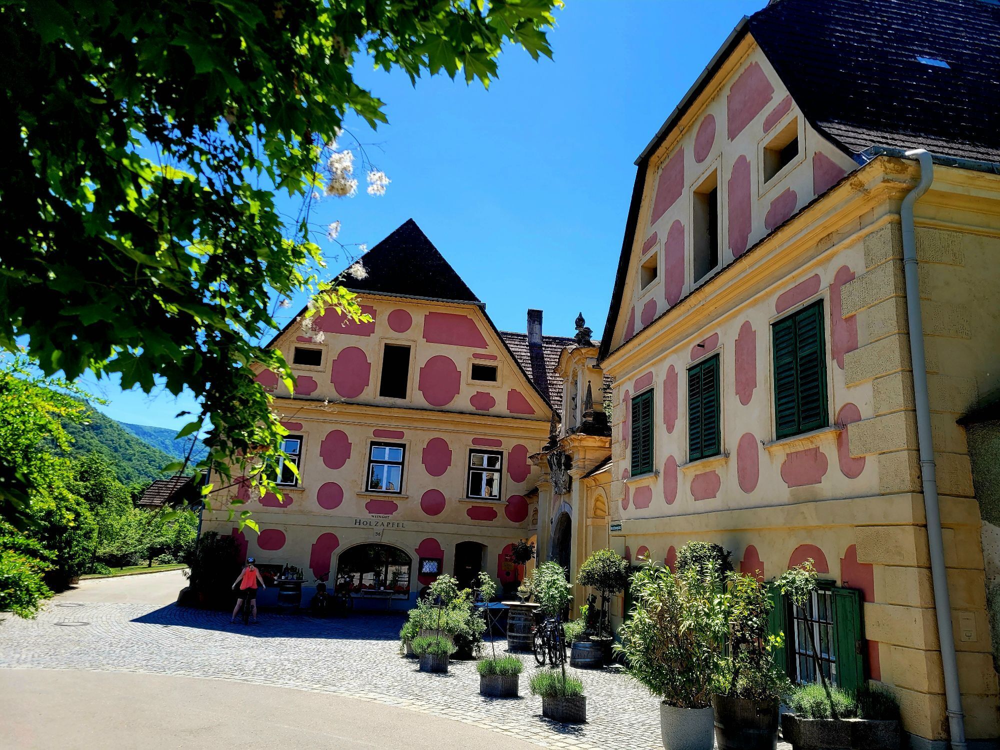
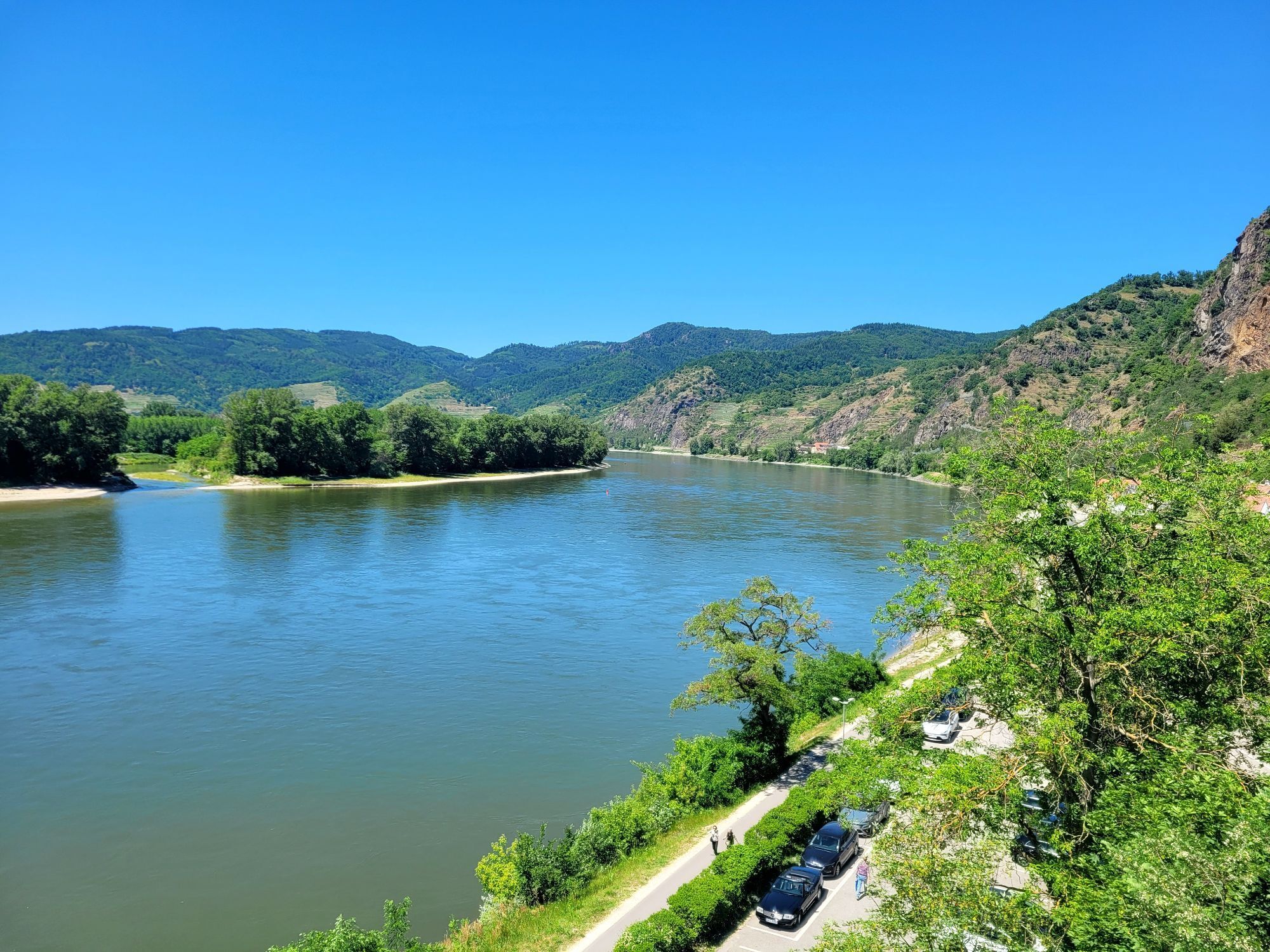
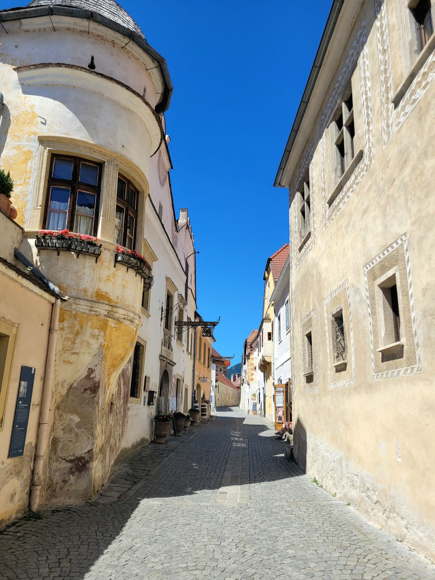
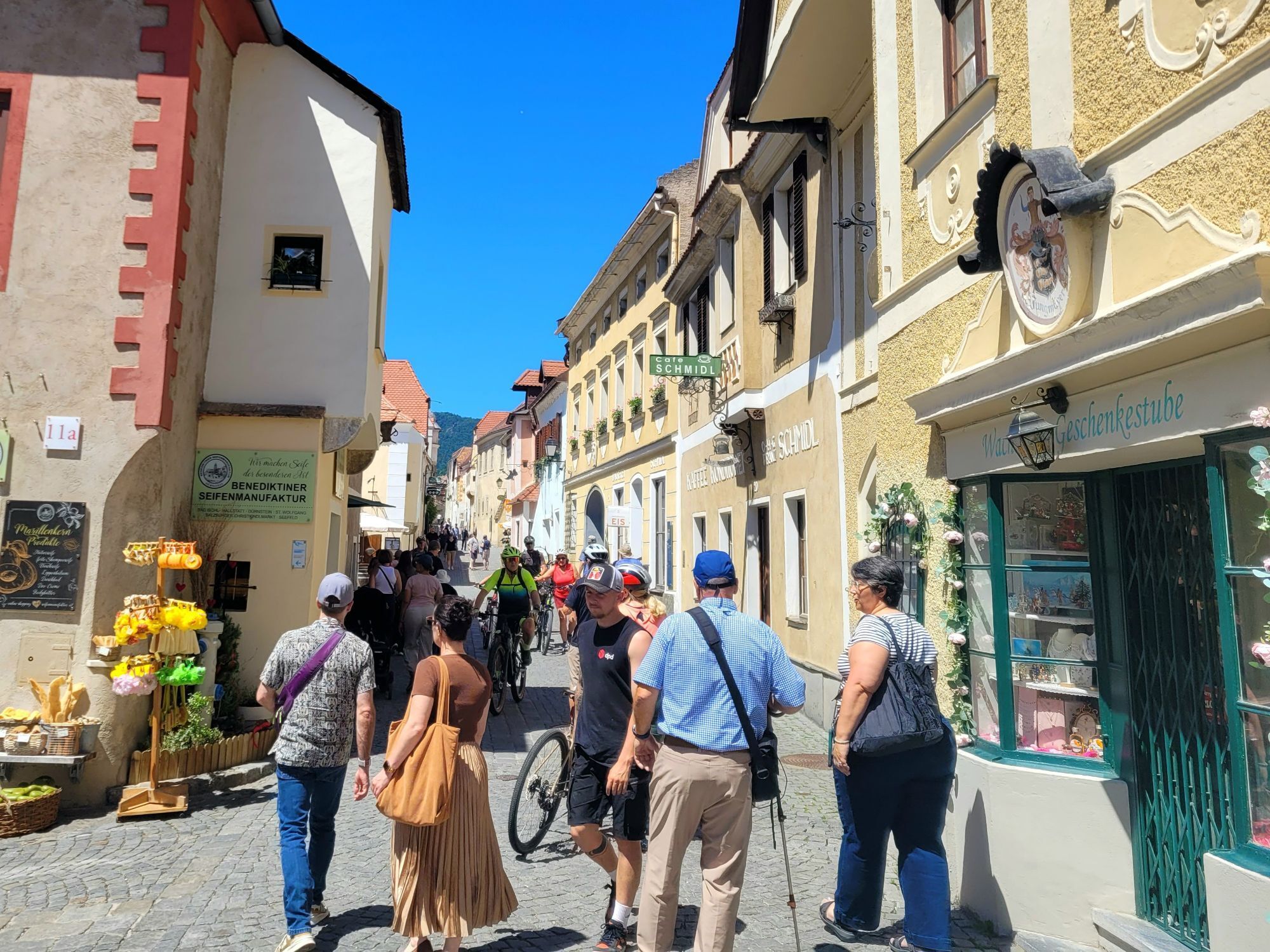
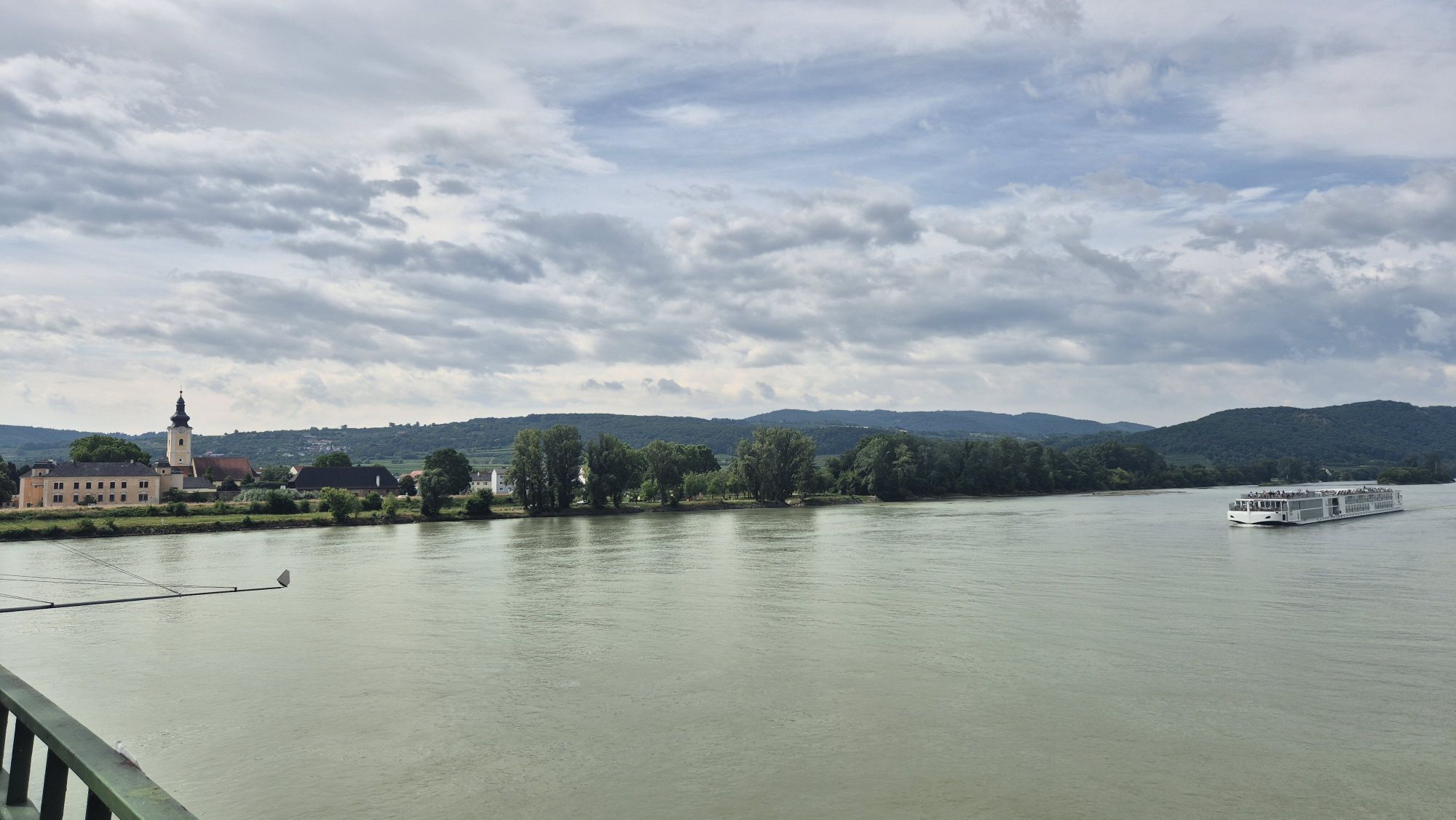
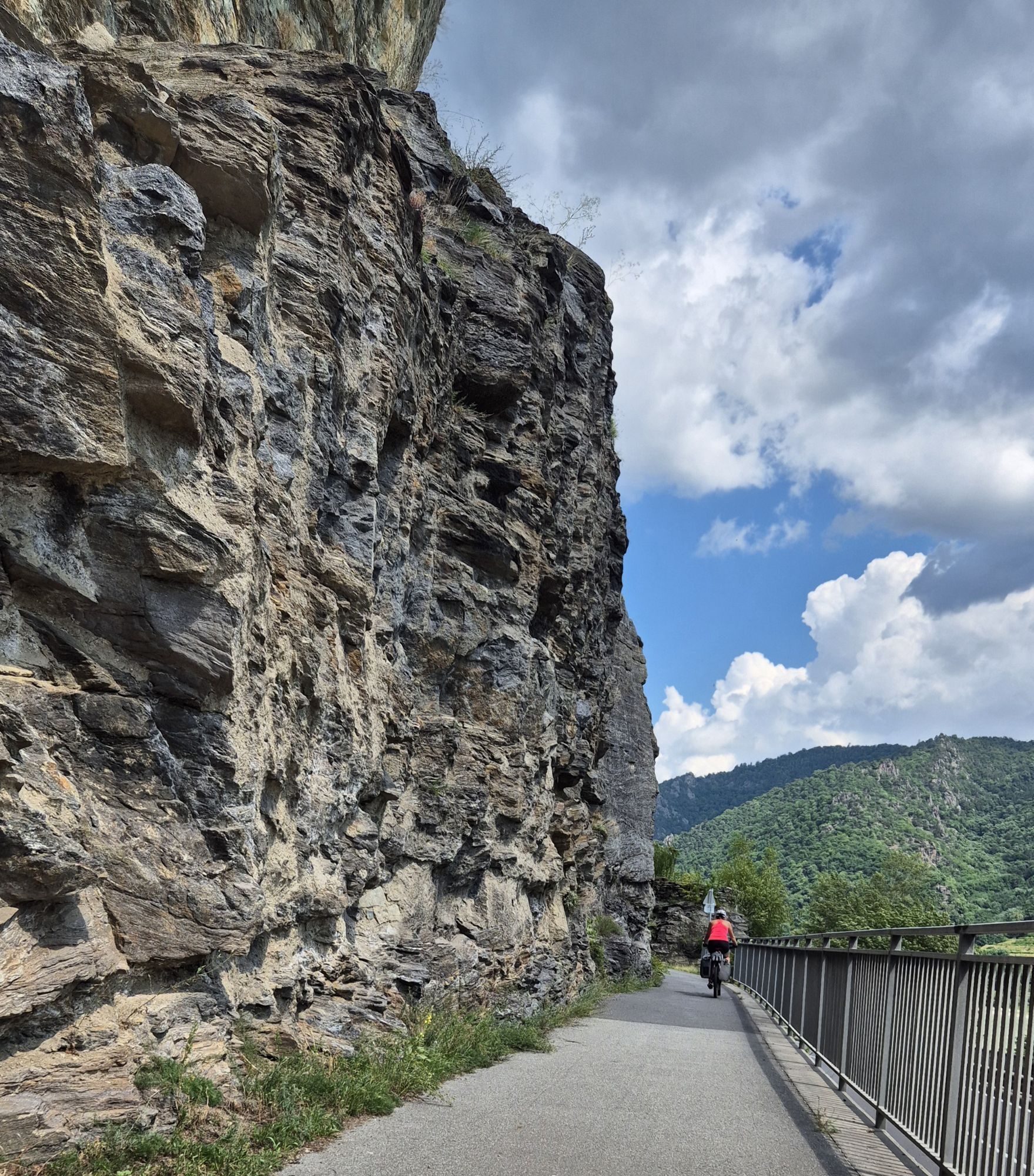
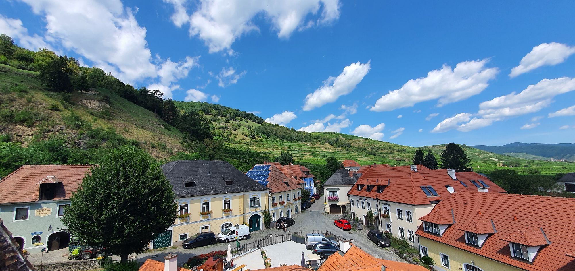
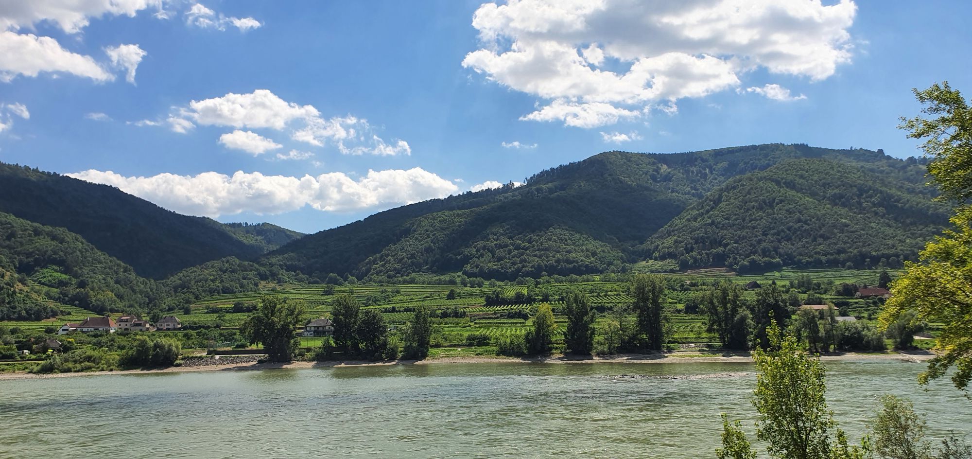
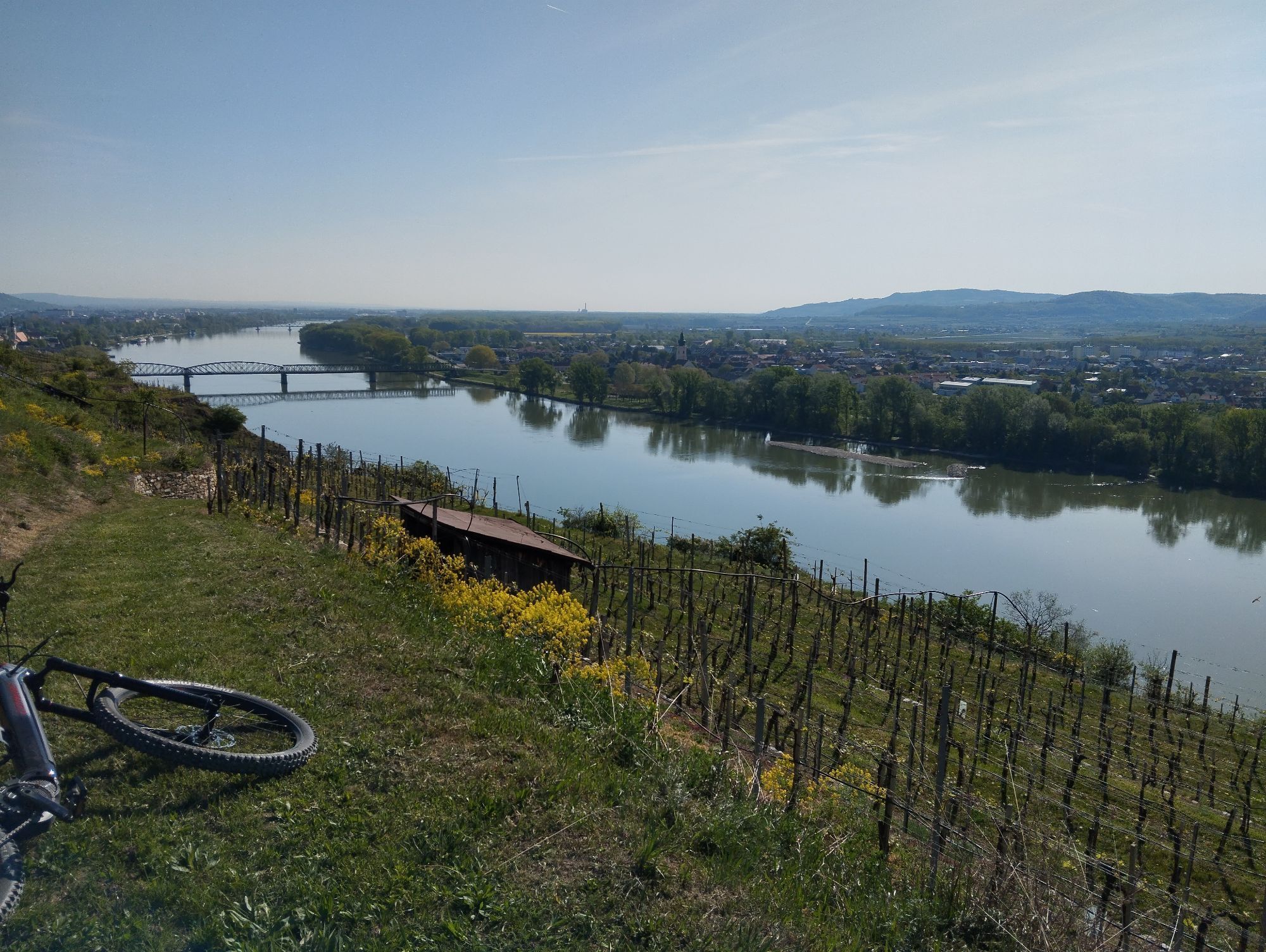
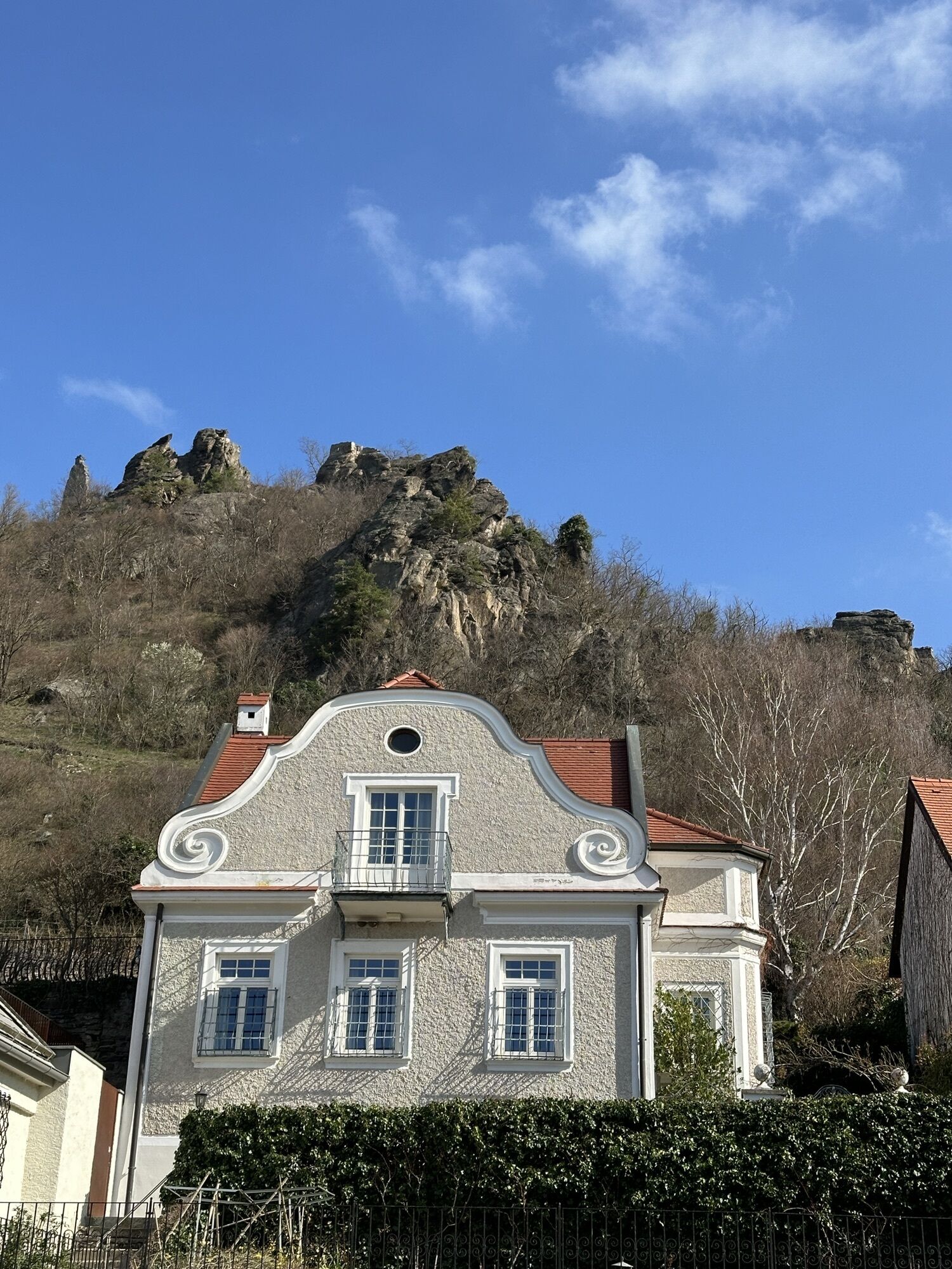
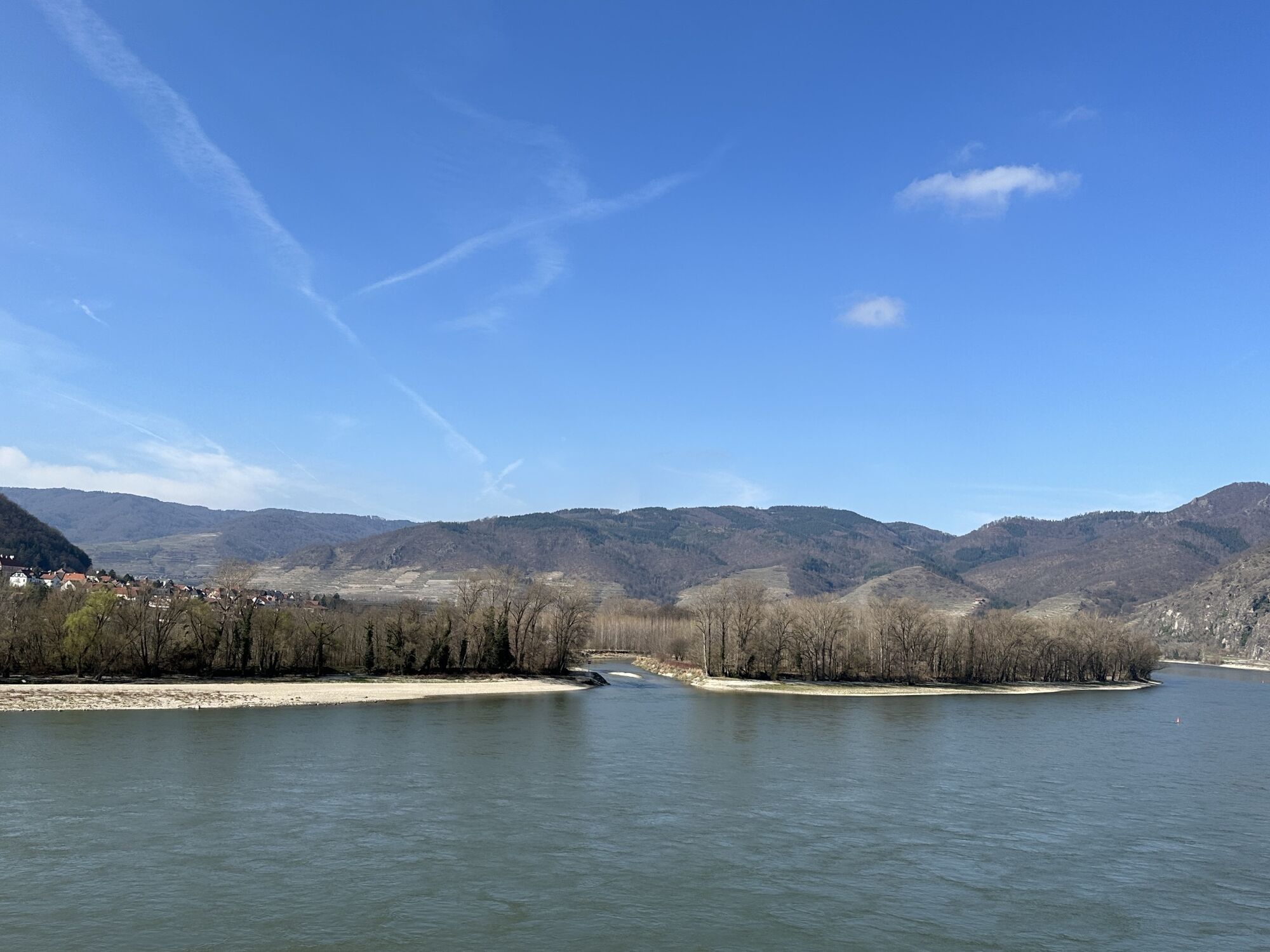
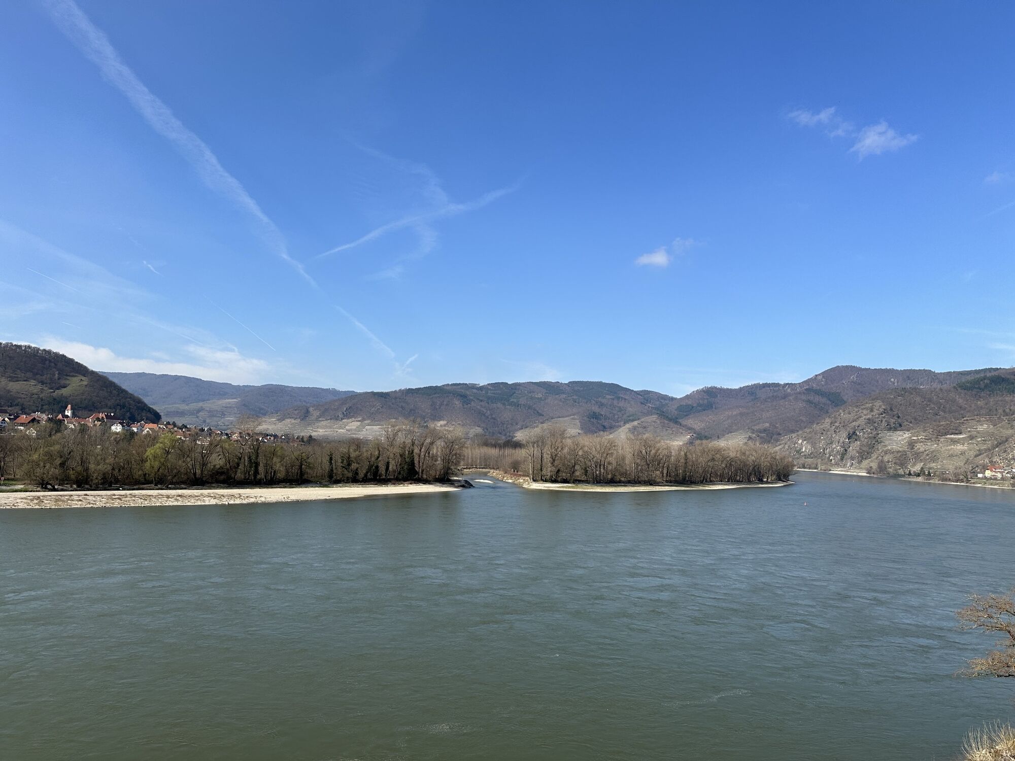
No sooner have you left Emmersdorf than it becomes clear why UNESCO designated the Wachau a World Heritage Site: Rocky cliffs rise from steep forested slopes, vineyards roll gently across the landscape, the waves of the Danube lap at sandy beaches, and historic ruins, old villages, and hospitable wine taverns line the way.
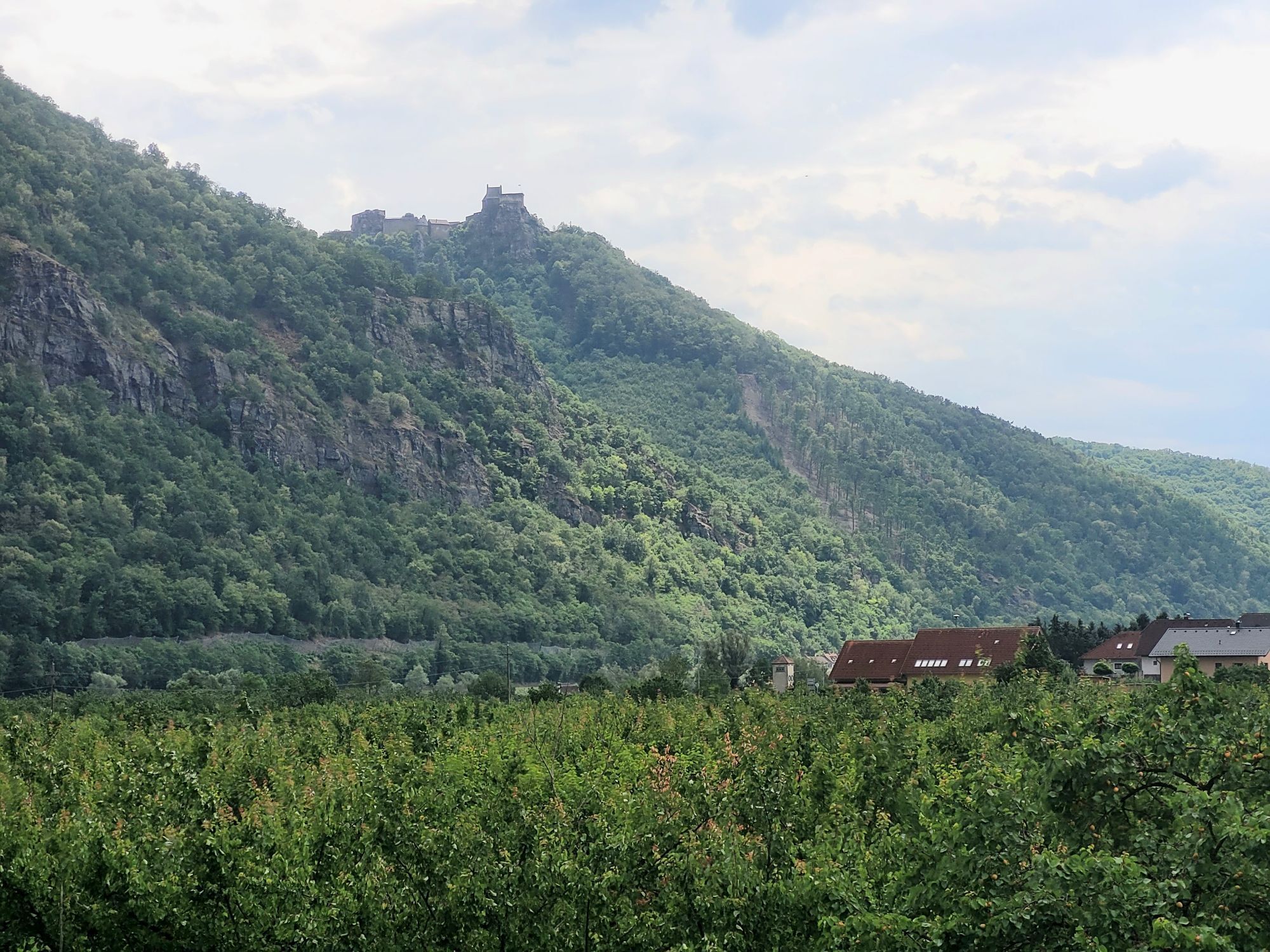
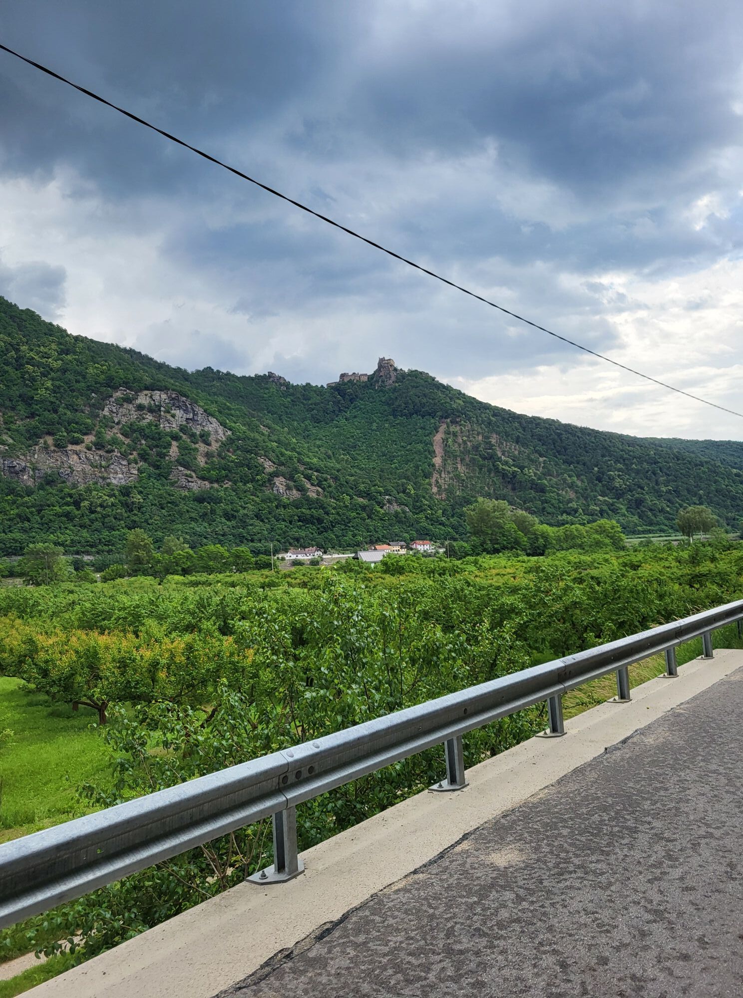
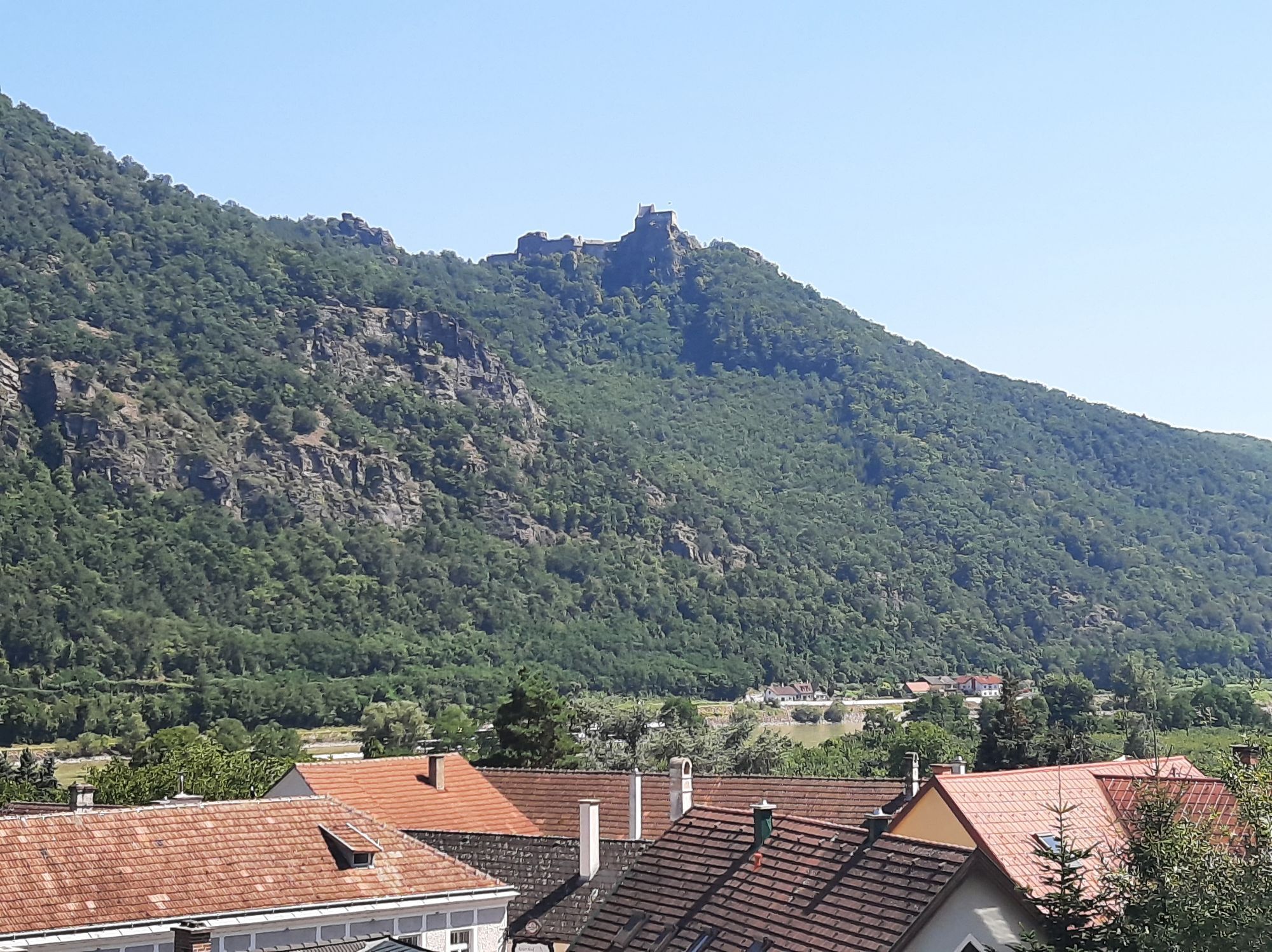
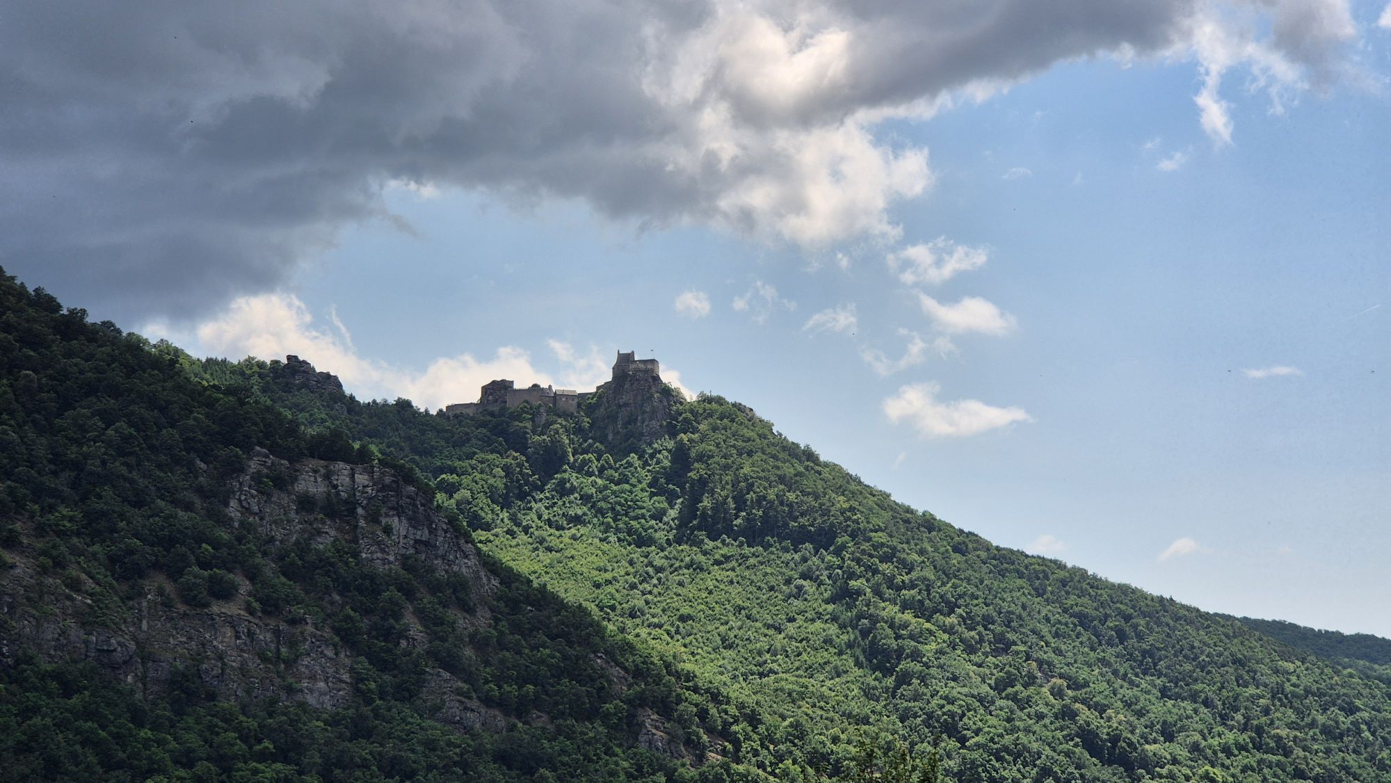
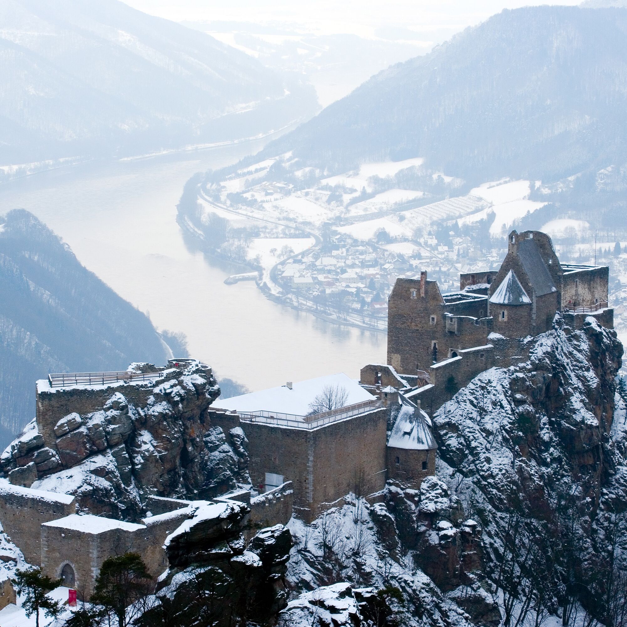
From the ancient village of Aggsbach, there’s a superb view of the wintry ruins of Aggstein Castle on the south bank, where—according to legend—terrible robber barons were brought to justice. The village of Willendorf was made famous by an archaeological find: the “Venus.” The small female sculpture (now in the Natural History Museum in Vienna) serves as a reminder that the area has been inhabited for 50,000 years.
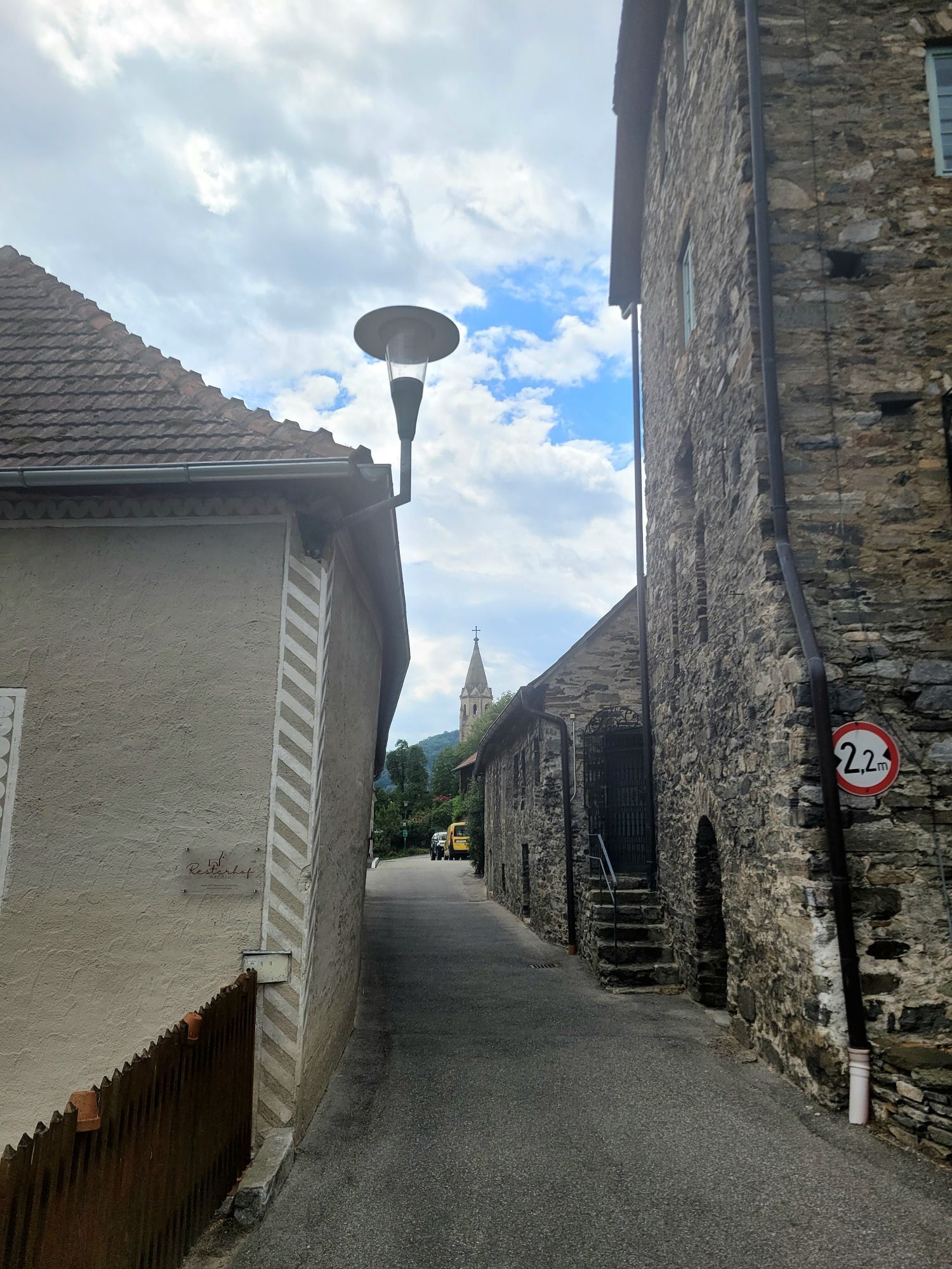
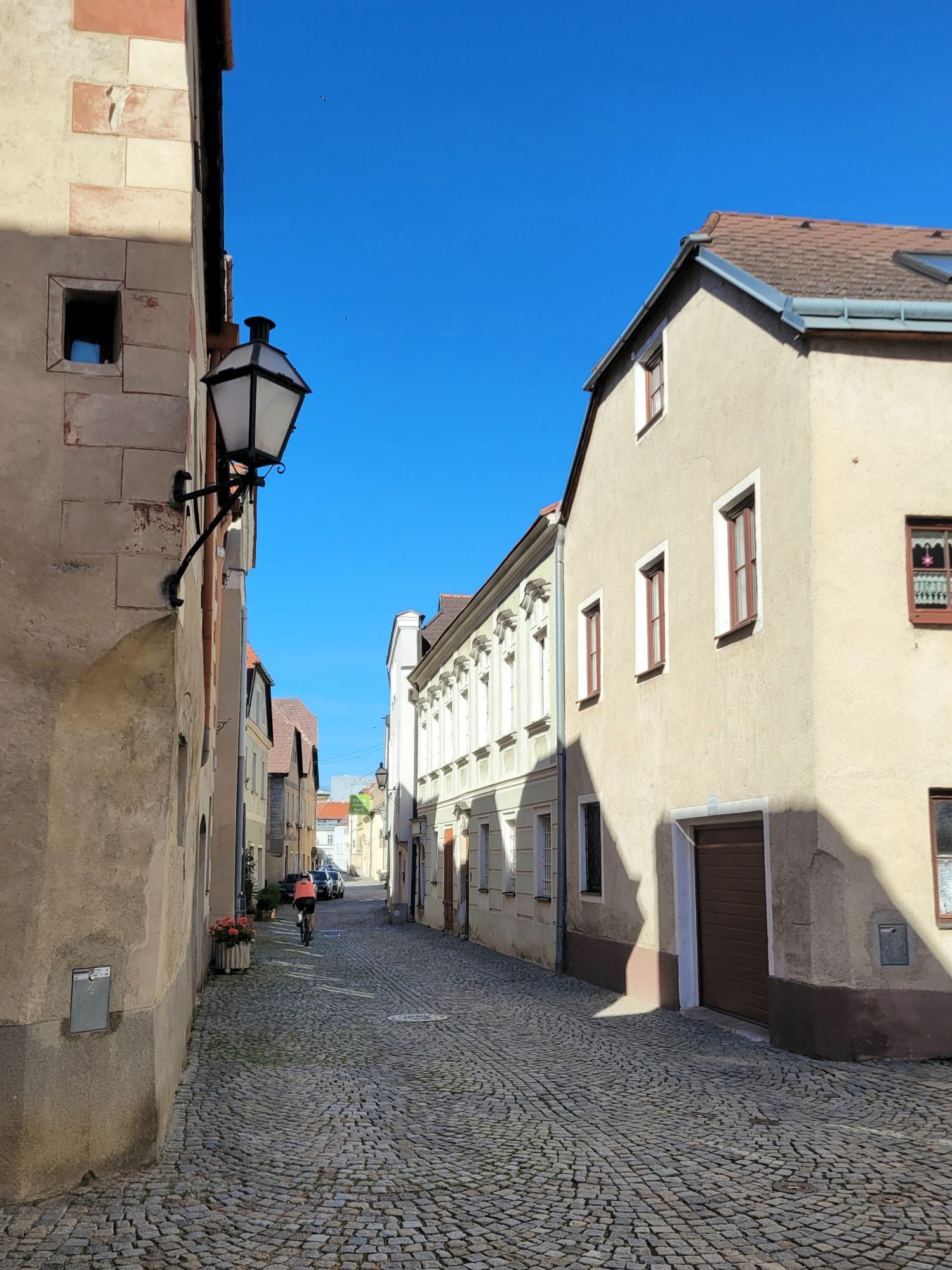
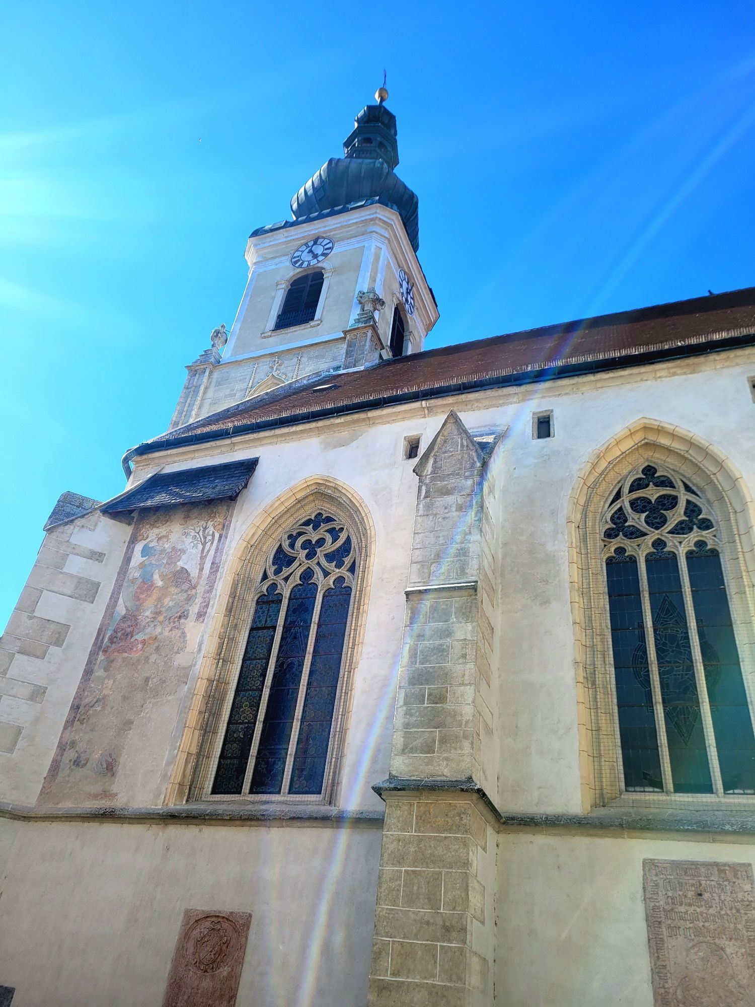
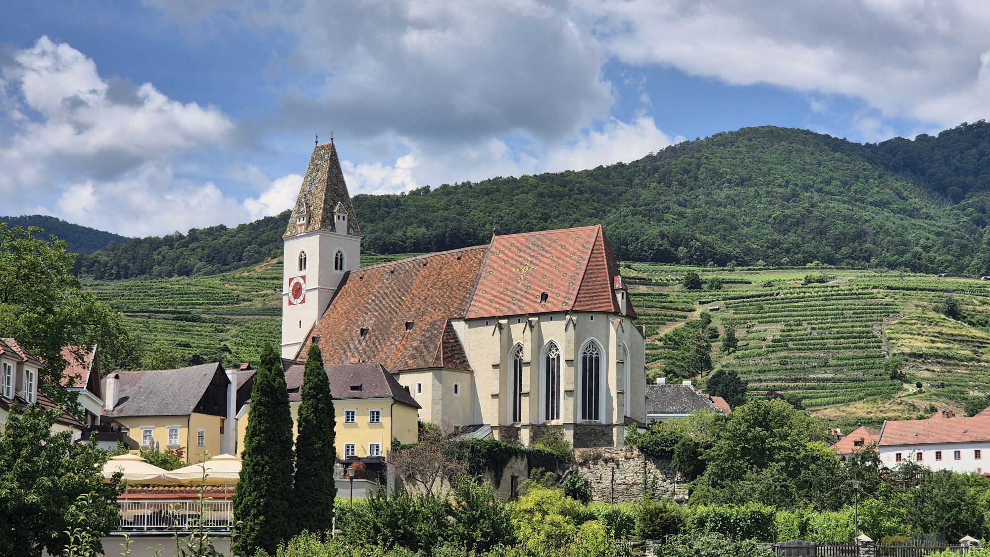
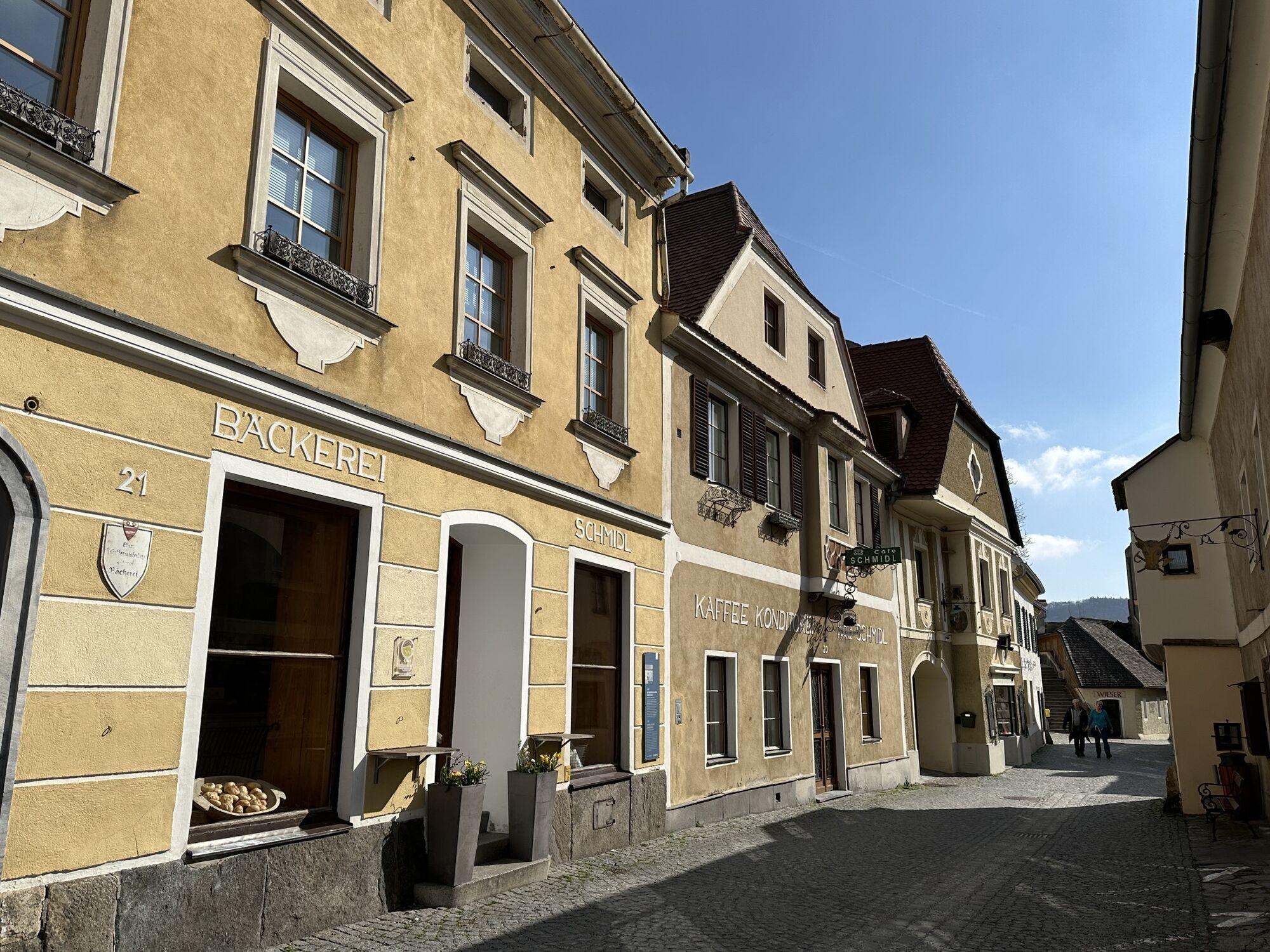
In Schwallenbach, several historic buildings keep the Middle Ages alive, and just before Spitz, a bizarre rock formation can be seen: the Devil’s Wall. The Prince of Hell once intended to use it to dam the waters of the Danube. In Spitz, old miners’ houses and 16th-century estates, the late-Gothic parish church, the Hinterhaus ruins, and the Maritime Museum invite you to take a cultural break.
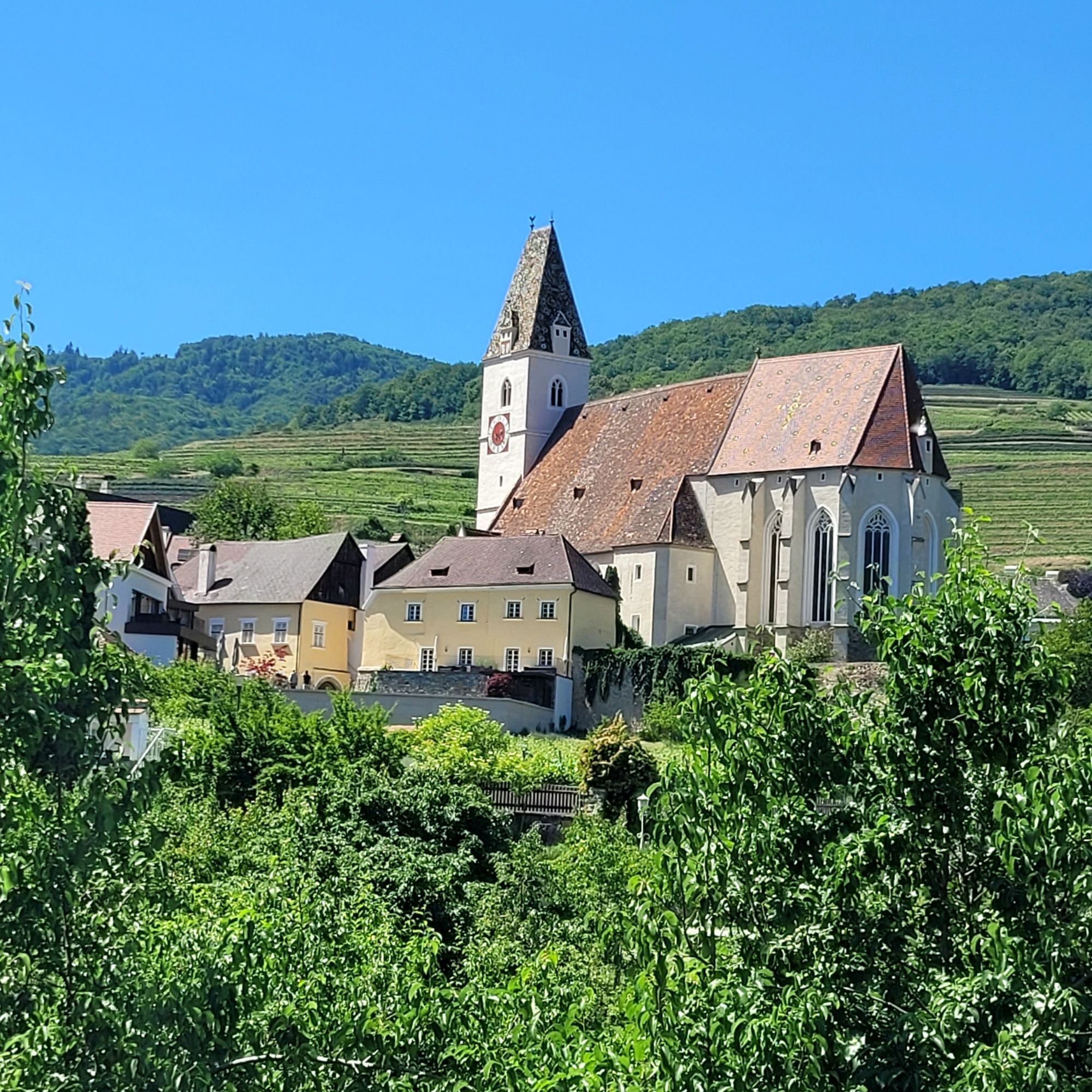
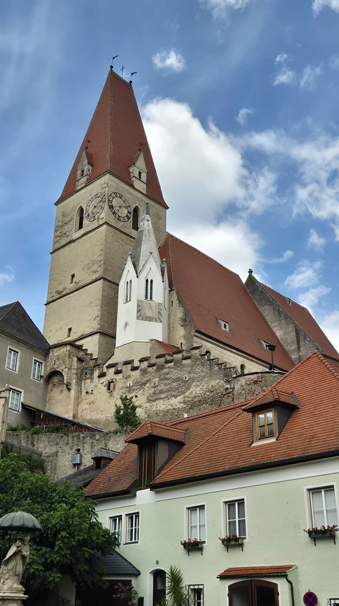
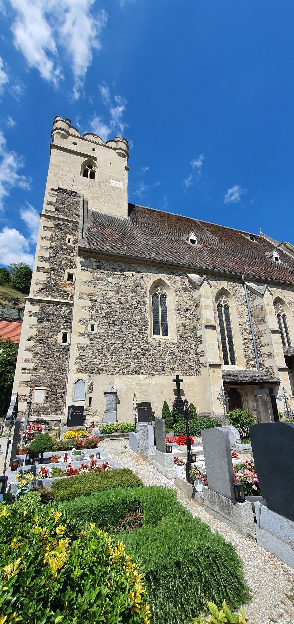
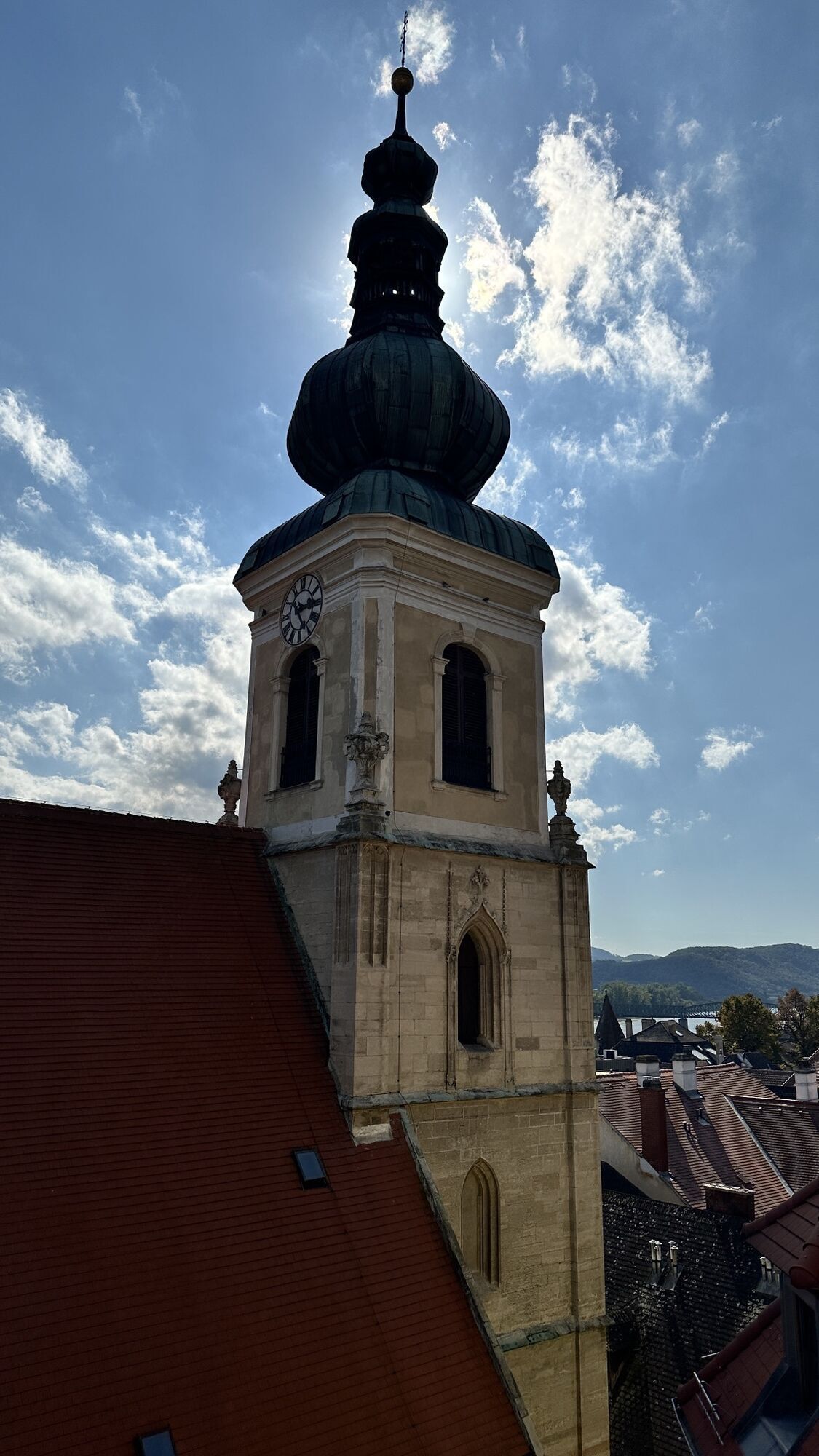
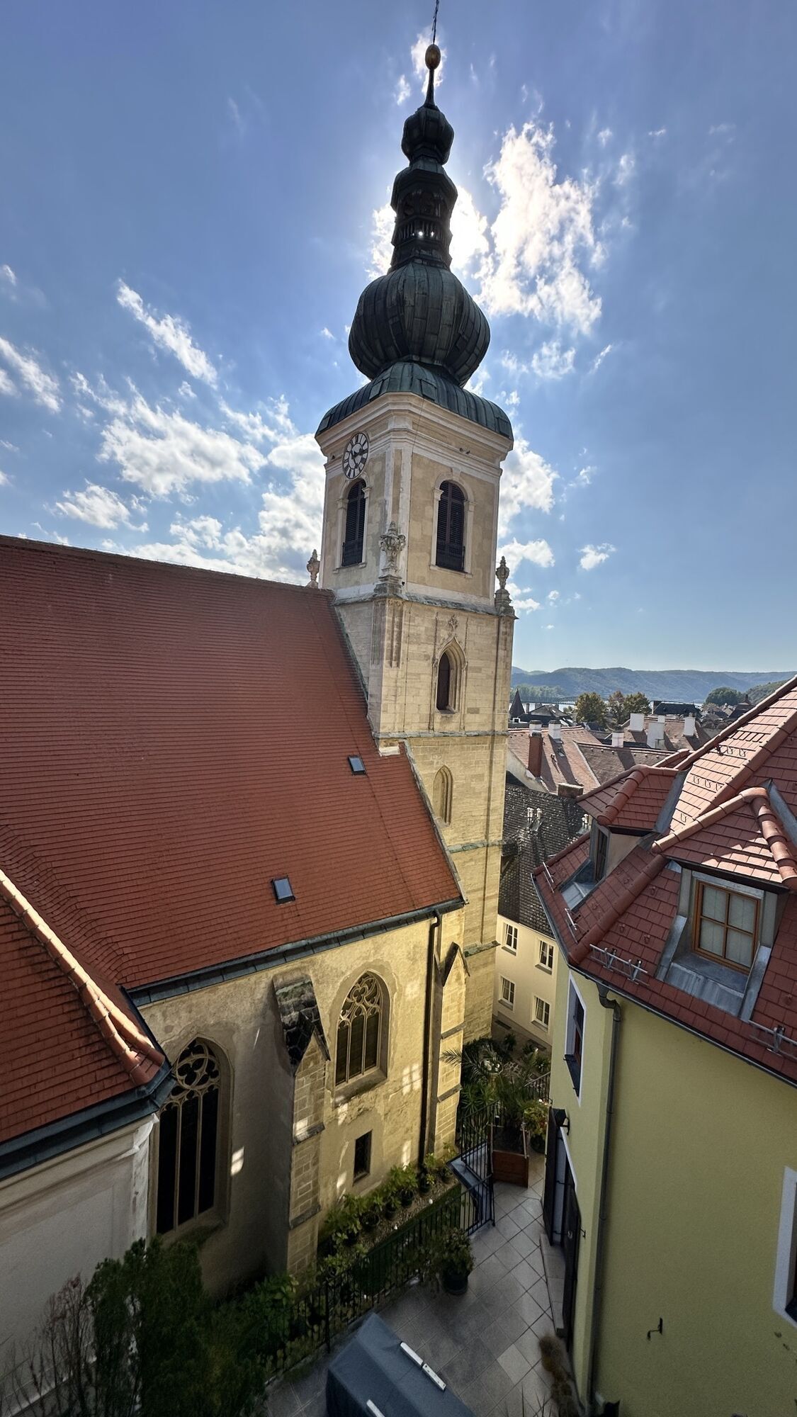
On the roof ridge of the imposing fortified church of St. Michael (in the municipality of Weißenkirchen), hares “run”—allegedly driven up there by a snowy winter long ago. The main attraction of the wine tavern village of Wösendorf is the late Baroque parish church with altarpieces by the so-called “Kremser Schmidt” (Martin Johann Schmidt, 1718–1801).
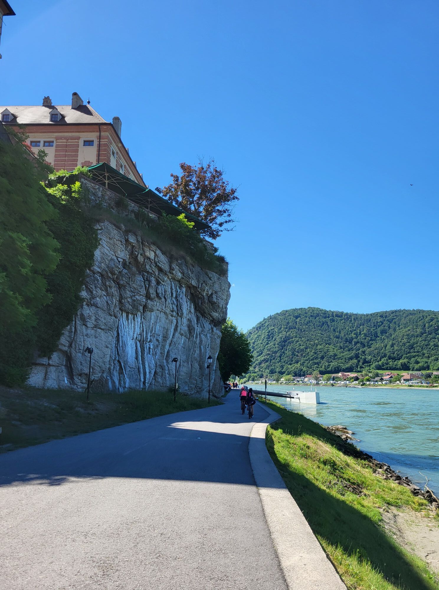
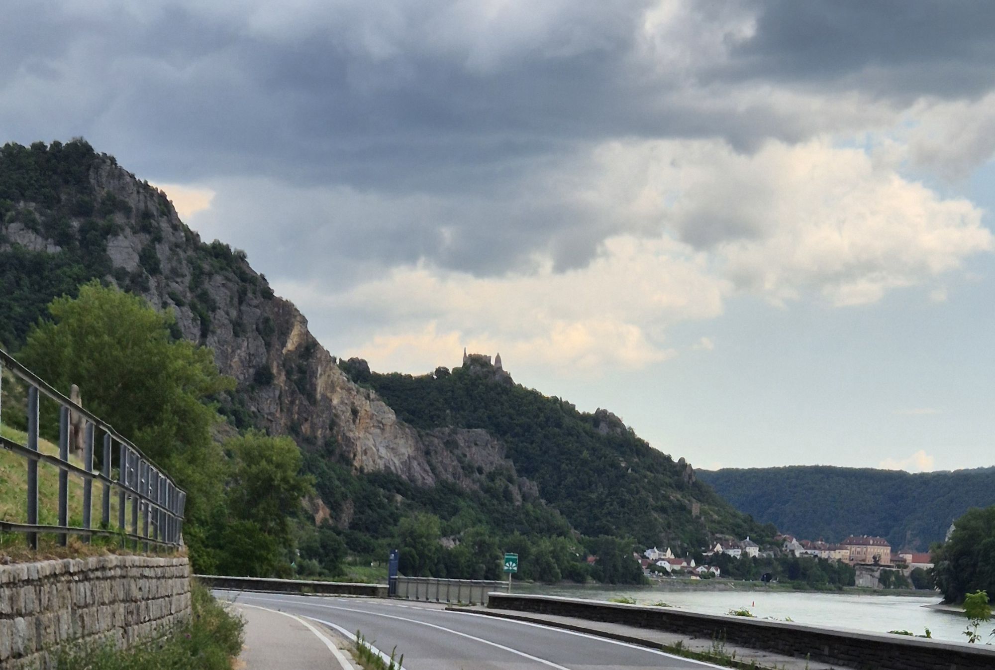
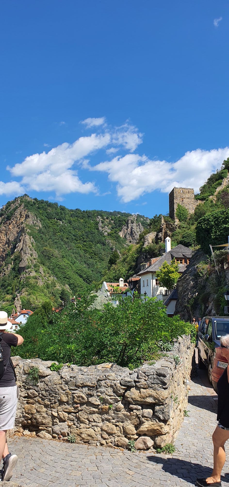
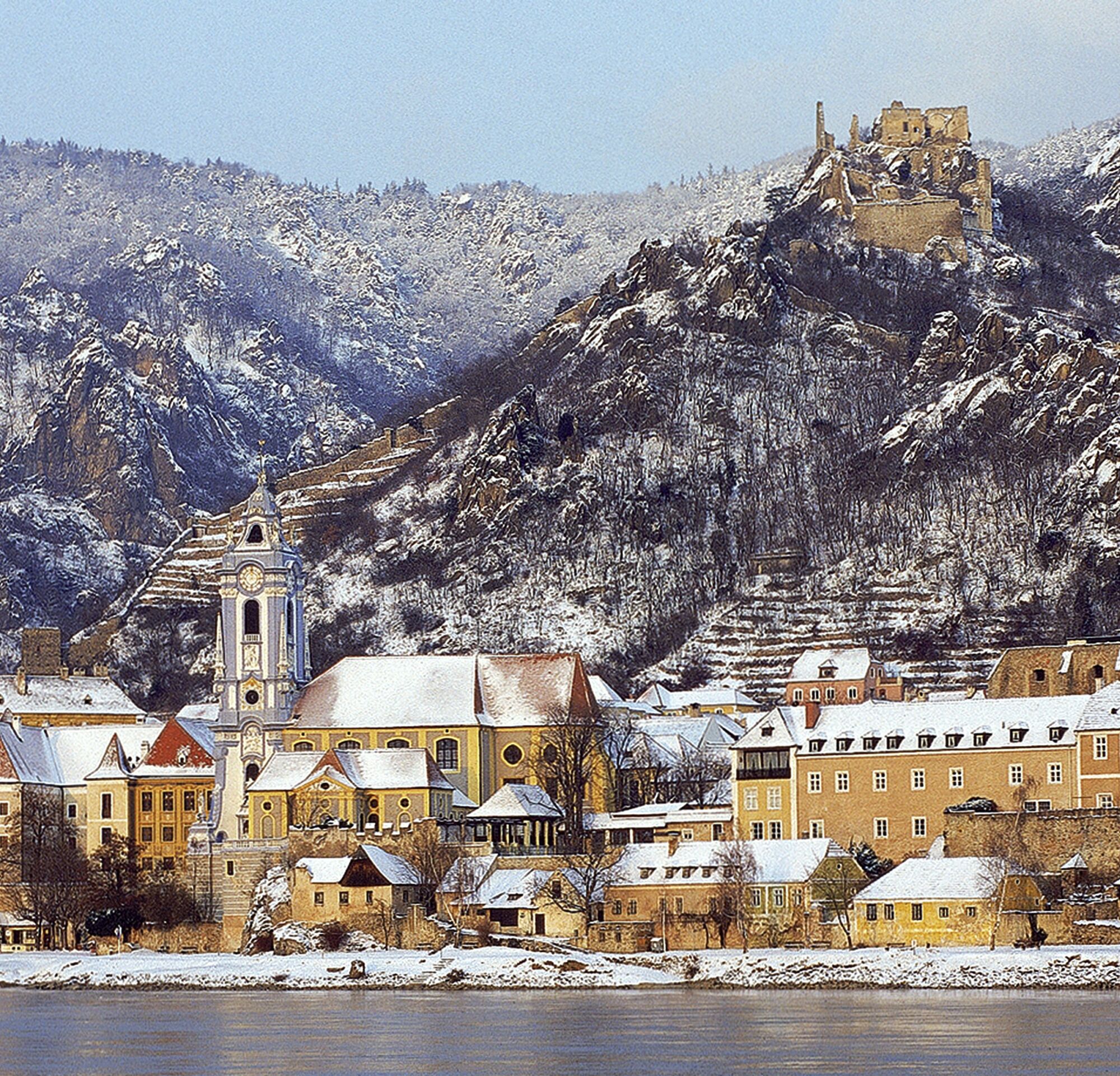
Its location on the Danube, the lovely vineyards, forested slopes, and rock formations all around have made Dürnstein one of Austria’s most popular travel destinations. The blue tower of Dürnstein Abbey is visible from afar, and King Richard the Lionheart was once held captive in the sprawling castle ruins, which offer spectacular views. Shortly after passing through the wine-growing village of Unterloiben, you’ll reach Krems, the destination of this stage.

Emmersdorf on the Danube - Aggsbach - Spitz - Weißenkirchen in the Wachau - Dürnstein - Krems on the Danube
Route Description:
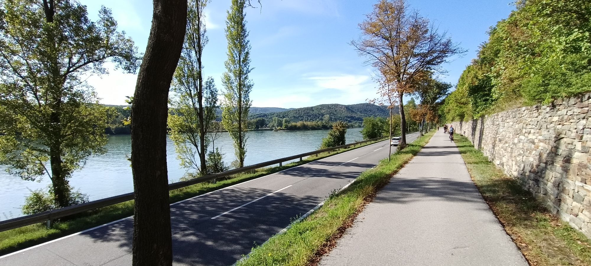
You’ll start your tour in Emmersdorf on the Danube. As the name “the gateway to the Wachau” suggests, this is where the cultural landscape of the same name begins. You’ll travel along the northern bank of the Danube, covering most of the route on the B3, though you’ll leave the country road only in a few places.
Passing through small villages and over steep hills, you’ll make your way to Aggsbach Markt. This stop will delight all castle enthusiasts, as it offers a breathtaking view of the Aggstein Castle ruins on the opposite south bank, whose origins date back to the 12th century. Near Willendorf in the Wachau region, turn off the B3 and continue on the L7140 until just past Schwallenbach. From there, cycle along the Danube Federal Highway through the beautiful Wachau countryside.
Shortly after Spitz, you’ll leave the B3 several times and ride through Wösendorf and Weißenkirchen. You’ll then finally arrive at the epitome of scenic beauty in this part of the Danube region: the small town of Dürnstein. Here, you’ll recognize the defining features of the Wachau landscape. The lush green hills with their steep slopes, where countless rows of grapevines stretch out. Combined with the Danube and the right light, it’s a sight that seems tailor-made for landscape painting. But culture lovers won’t be left out either—you can explore the Dürnstein ruins, as well as Dürnstein Abbey, which has stood since 1372 and, with its blue-and-white color scheme, is considered the town’s landmark.
After Dürnstein, you’ll head away from the Danube for a short stretch and cross a few fields. Shortly after Unterloiben, however, you’ll rejoin the B3 and thus return to the Danube. Just a few kilometers later, you’ll arrive in Krems an der Donau.
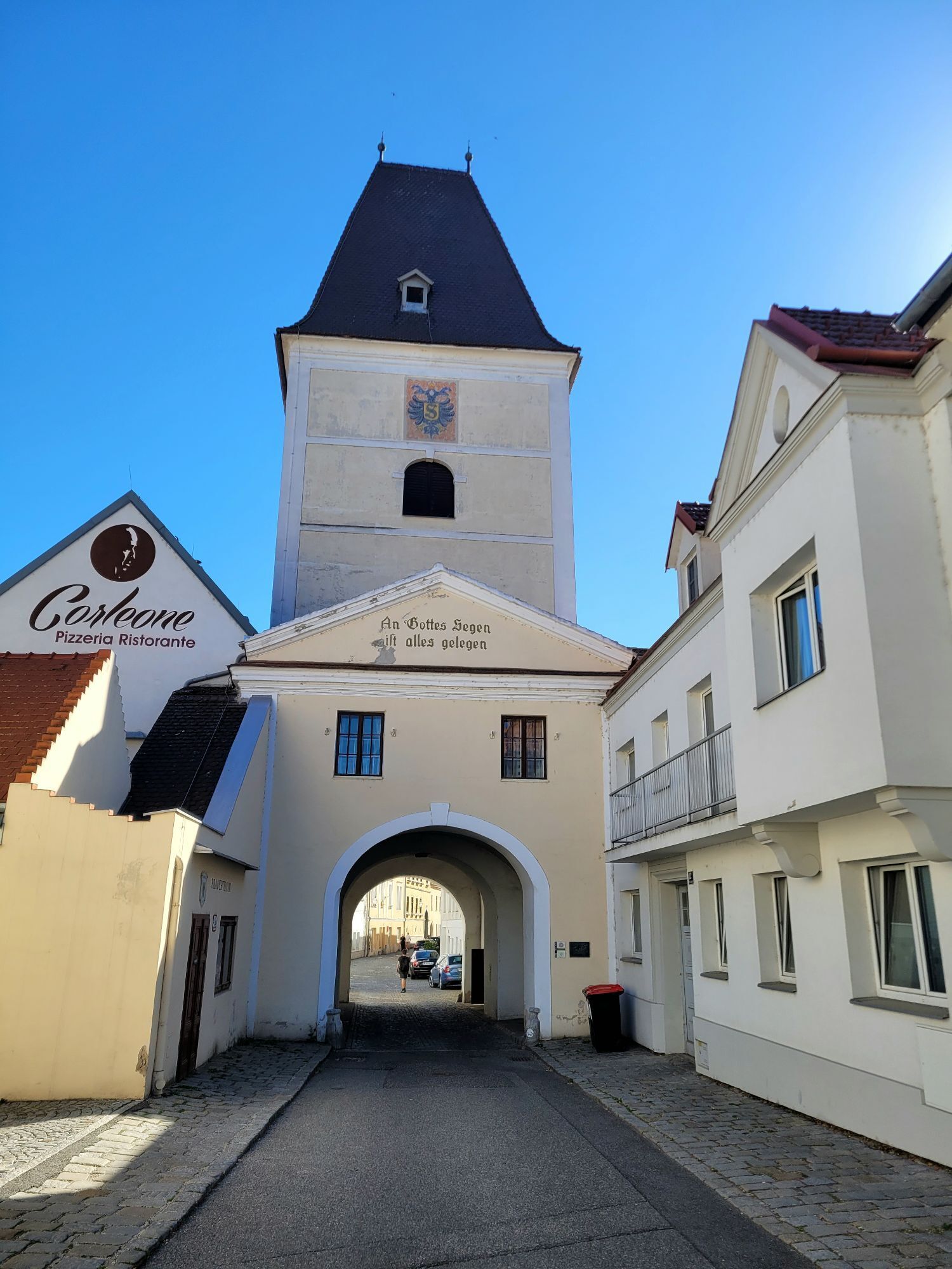
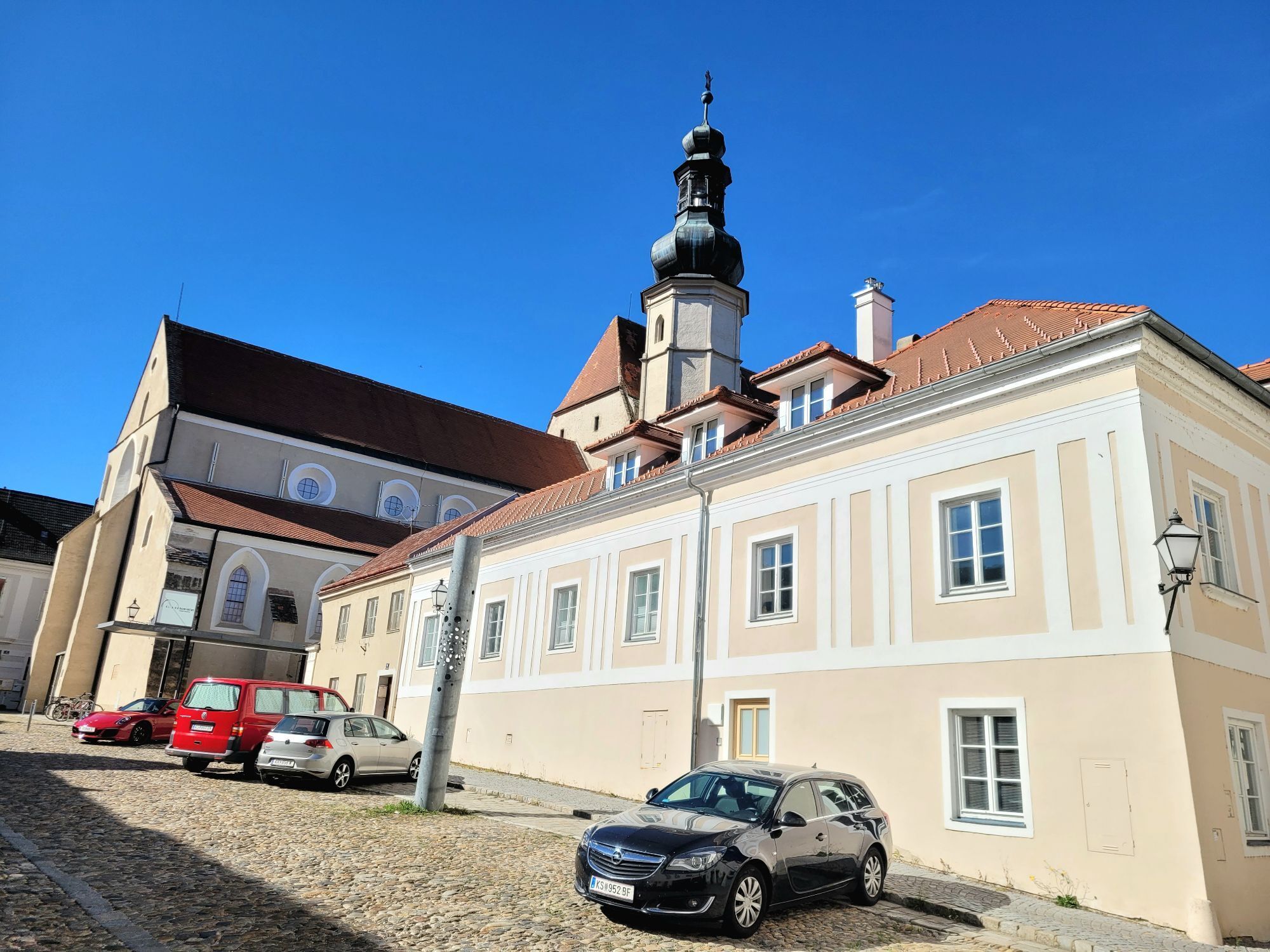
Here you’ll find a wealth of sights. Still on the outskirts of the Wachau region, you can marvel at the characteristic landscape while also exploring the town. The old town of Krems alone is impressive, as it is part of the UNESCO World Heritage Site “Cultural Landscape of the Wachau.” The city’s landmark, the Steiner Tor, is particularly noteworthy. In addition, there are countless churches, gates, houses, and museums to discover—truly a city of culture. Wine connoisseurs will also feel right at home here, as the numerous wineries mean that viticulture isn’t just economically significant—it’s also an integral part of this city’s identity. A truly rewarding destination and a perfect conclusion to this beautiful and entertaining bike tour.
By car to Emmersdorf
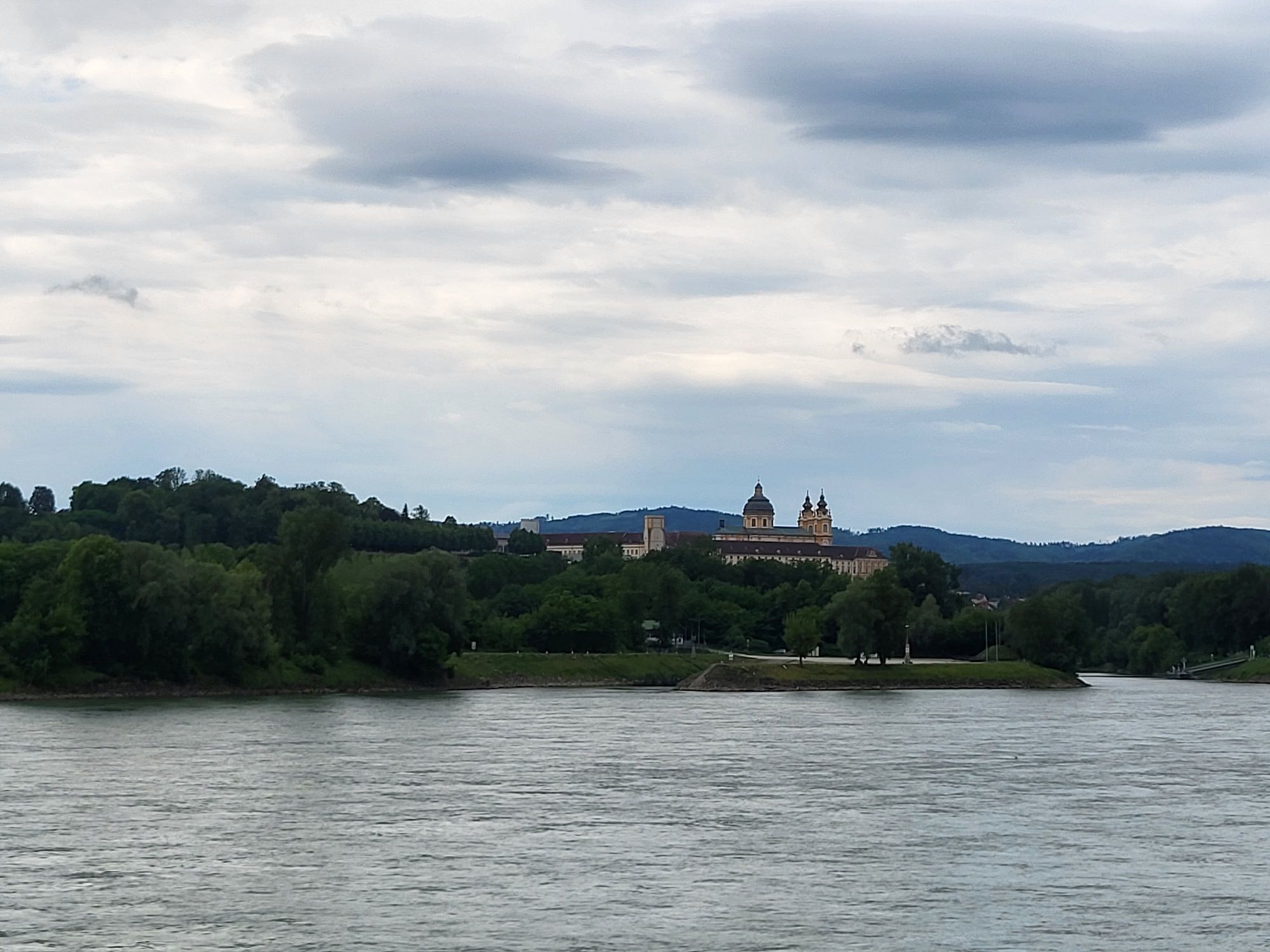
Take the Westbahn to Melk; Emmersdorf is located on the opposite bank of the Danube and is connected to Melk by a bridge. Krems is connected to the Franz-Josef Railway.
Kamery internetowe z trasy

Popularne wycieczki w okolicy
-
4,4
Welterbesteig Wachau 02: Dürnstein-Weißenkirchen
światłodługodystansowy szlak pieszy 15,9 km -
4,5
Welterbesteig Wachau 03: Weißenkirchen-Spitz
światłodługodystansowy szlak pieszy 10,4 km -
4,7
Welterbesteig Wachau 01: Krems-Dürnstein
światłodługodystansowy szlak pieszy 12,3 km -
4,8
Vogelbergsteig -Kanzel- Fesselhütte - Ruine Dürnstein zum Heurigen in Furth
średniWędrówka 7,59 km -
4,7
Wachau: Seekopf - Hirschwand
średniWędrówka 10,4 km -
4,7
Rundhöhenwanderweg Weißenkirchen in der Wachau - Schildhütten - Cholerakreuz - Weißenkirchen
światłoWędrówka 8,70 km -
4,6
Krems (Welterbesteig) - Dürnstein - Vogelbergsteig - Kanzel - Fesslhütte - Krems
średniWędrówka 18,0 km -
4,6
AGGSTEIN Ruine, Aggstein, Druidentürme und zurück 20241019
średniWędrówka 7,50 km -
4,6
Maria Langegg - Rote Wand - Hoher Stein - Kastlkreuz
średniWędrówka 11,4 km -
4,5
Panoramaweg Weissenkirchen
światłoWędrówka 5,04 km
Wędrówki i tropienie


Nie przegap ofert i inspiracji na następne wakacje
Twój adres e-mail została dodana do listy mailingowej.





