


Danube Cycle Path stage 8 southern bank: Petronell - Bratislava
Zdjęcia naszych użytkowników
-

 © Alfréd RumelUtworzono dnia 15.09.2025
 -
 © Franz DvoranUtworzono dnia 01.04.2026
 -
 © Franz DvoranUtworzono dnia 01.04.2026
 -
 © Franz DvoranUtworzono dnia 01.04.2026
 -

 © Michael TiefenbacherUtworzono dnia 20.03.2026
 -
 © Michael TiefenbacherUtworzono dnia 20.03.2026
 -
 © Michael TiefenbacherUtworzono dnia 20.03.2026
 -
 © kif820Utworzono dnia 14.09.2025
 -
 © Christian KakuskaUtworzono dnia 14.06.2025
 -
 © Wolfgang EbenhoferUtworzono dnia 24.04.2025
 -
 © Wolfgang EbenhoferUtworzono dnia 24.04.2025
 -
 © Regina FleischmannUtworzono dnia 04.03.2025
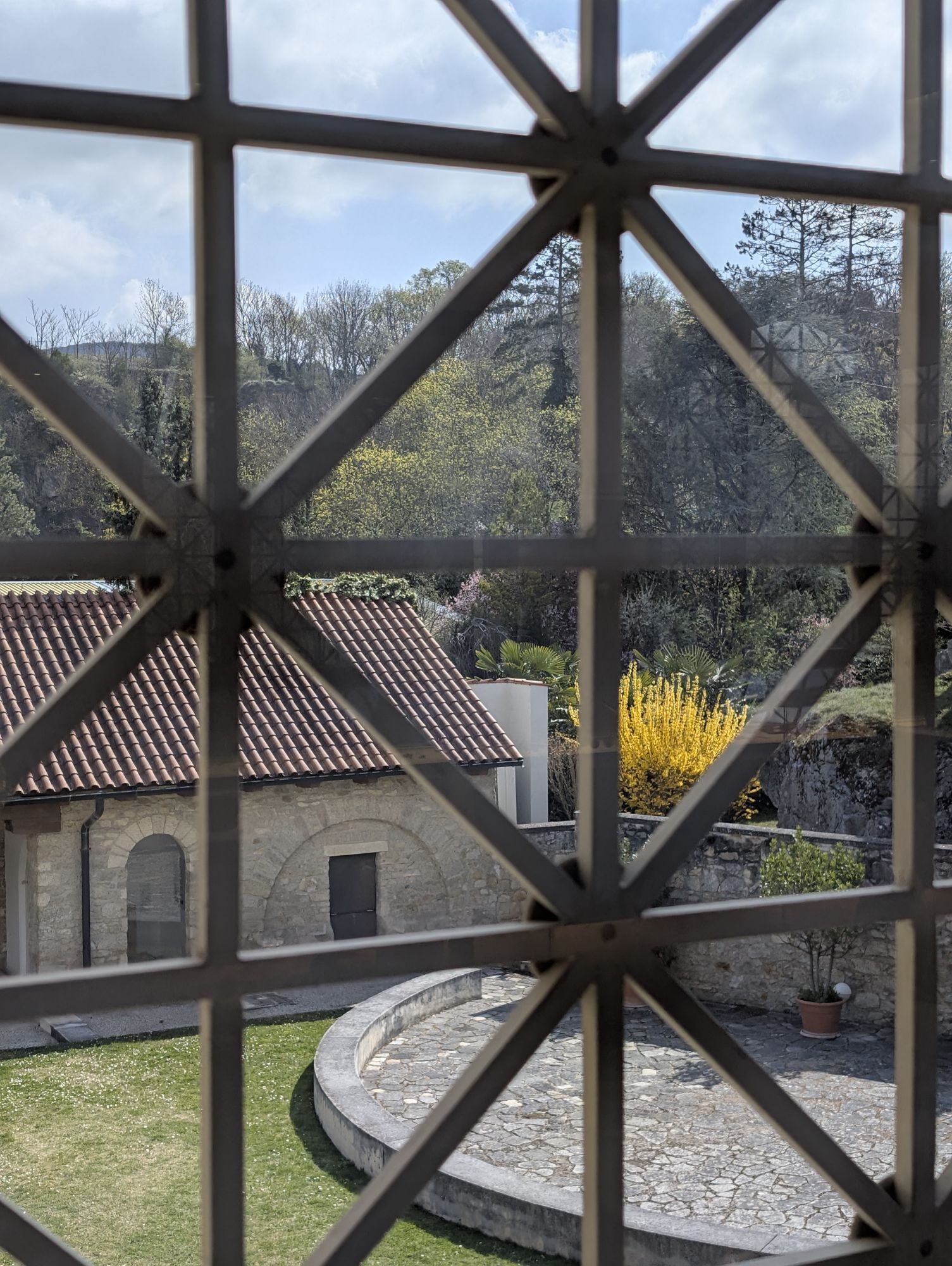


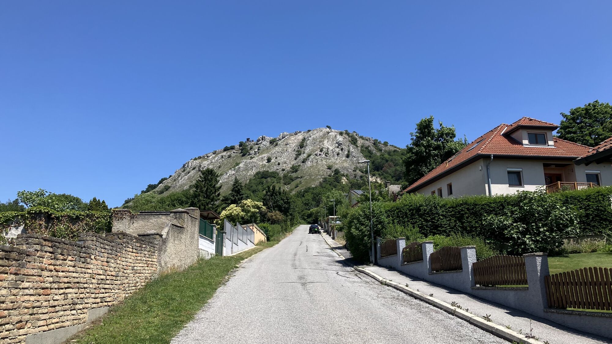

Medieval fans can be enchanted in Petronell by the St. John the Baptist Chapel, whose Romanesque rotunda dates back to the Knights Templar. And a visit to the Roman city of Carnuntum lets you experience...
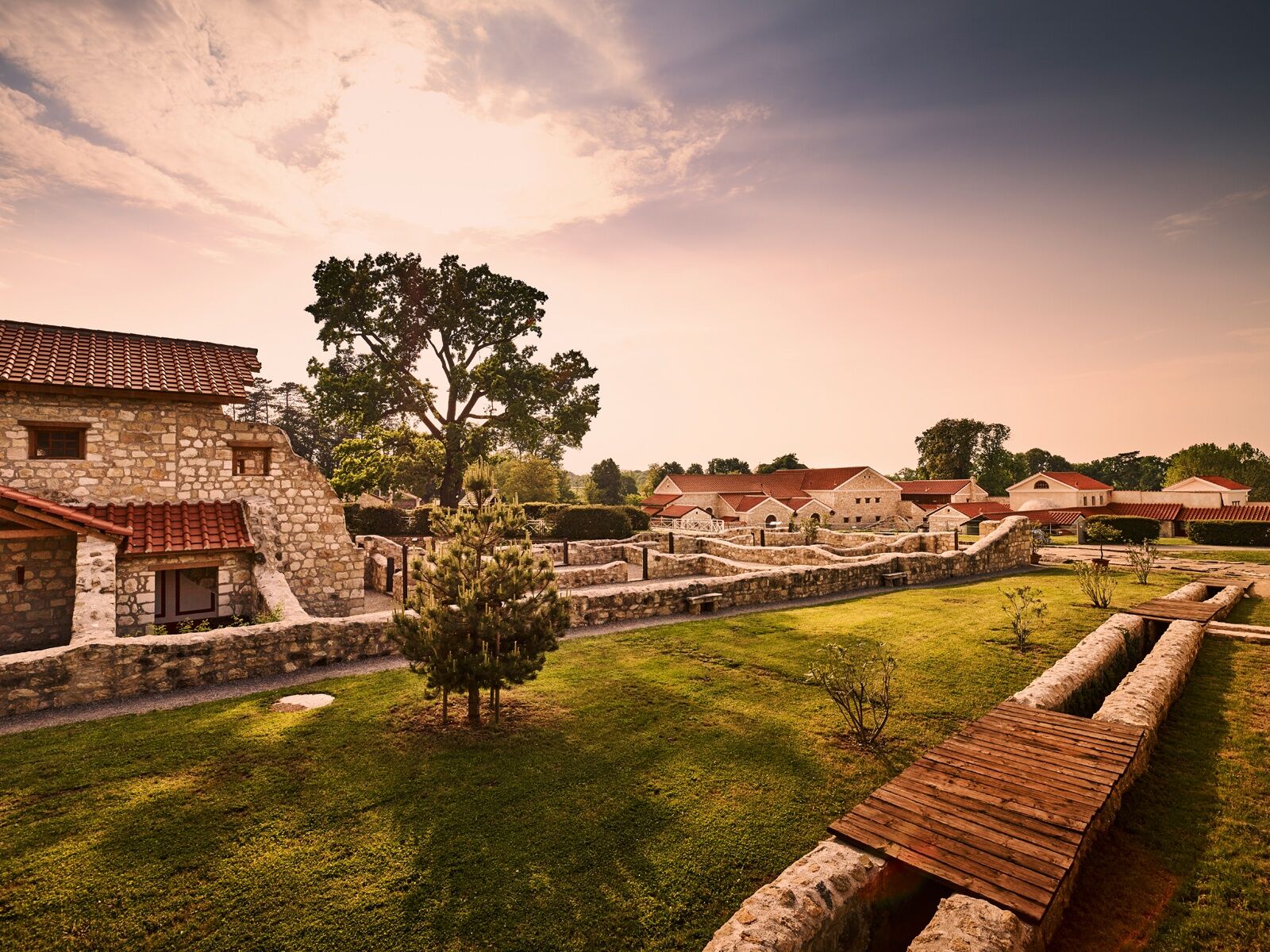
<p>Medieval fans can be enchanted in <strong>Petronell</strong> by the <strong>St. John the Baptist Chapel</strong>, whose Romanesque rotunda dates back to the Knights Templar. And a visit to the <strong>Roman city of Carnuntum</strong> lets you experience antiquity live. Unique worldwide, the essential architectural types of a Roman neighborhood have been reconstructed in their historical context: a townhouse, a magnificent city villa with furniture, underfloor heating, a functional stove, and a public bathhouse.</p><p>You will also encounter the ancient Romans in the spa town of <strong>Bad Deutsch-Altenburg</strong>. And not only in the <strong>Carnuntinum Museum</strong>, which with its ancient Roman statues and reliefs, mosaics and coins, weapons and jewelry pieces represents the core of the Roman city of Carnuntum. But also in the <strong>Carnuntum Thermal Baths</strong>, where rheumatism has been treated since antiquity.</p><p>The nearby town of <strong>Hainburg</strong> is endowed not only with the old <strong>city gates</strong>, the Wienertor, Ungartor, and Fischertor, but also an extensive <strong>castle ruin</strong> of medieval charm. In addition to the <strong>Schlossberg</strong> in the town, the Hundsheimer Berg and the Braunsberg also dominate the landscape. The latter offers the best view of the Danube, the Theben Hill with Devin Castle located already in Slovakia, as well as the neighboring <strong>Bratislava</strong>, whose suburbs you will reach shortly after the border at <strong>Wolfsthal</strong>.</p><p>The Slovak capital offers you – at the end of your cycling trip – numerous sights: such as the four-towered <strong>castle</strong>, the city’s landmark, or the <strong>Slovak National Theatre</strong>, the old town with the <strong>Hviezdoslavovo Namestie Boulevard</strong>, or the <strong>New Bridge</strong>, on whose bridge pillars a futuristic restaurant ("UFO") offers comprehensive views.</p>

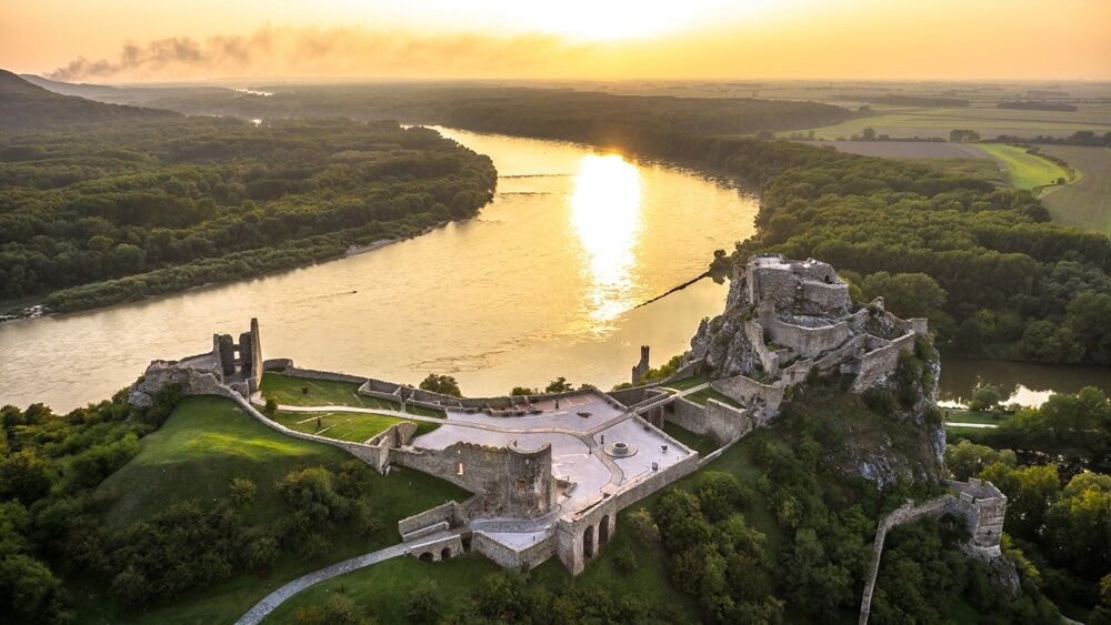
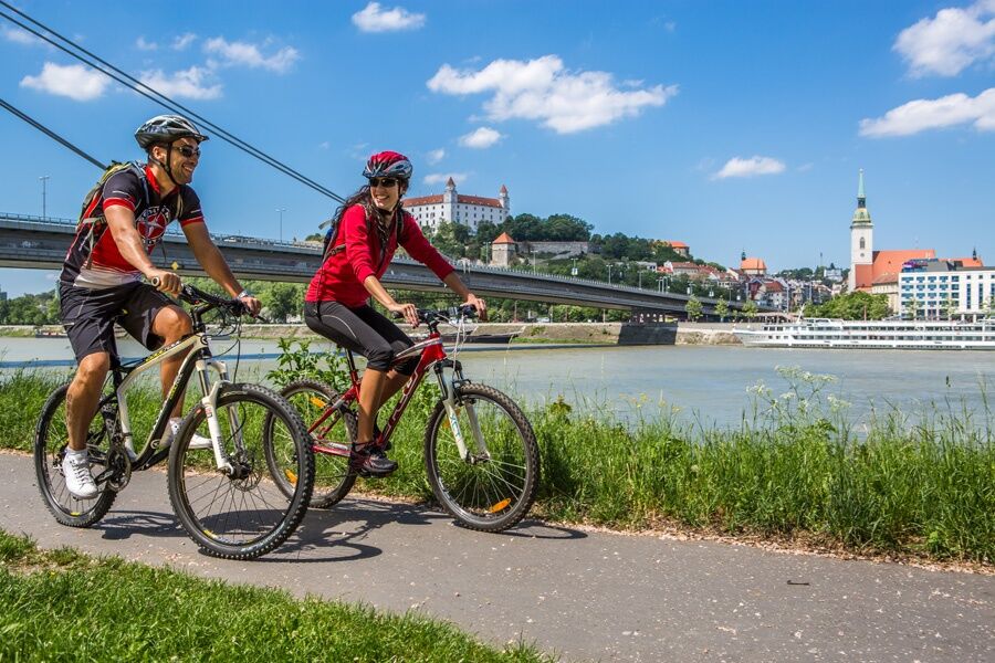
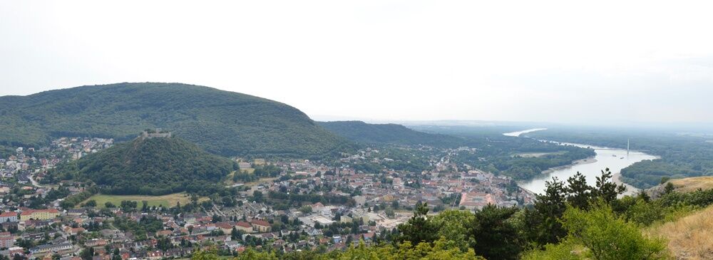
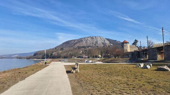
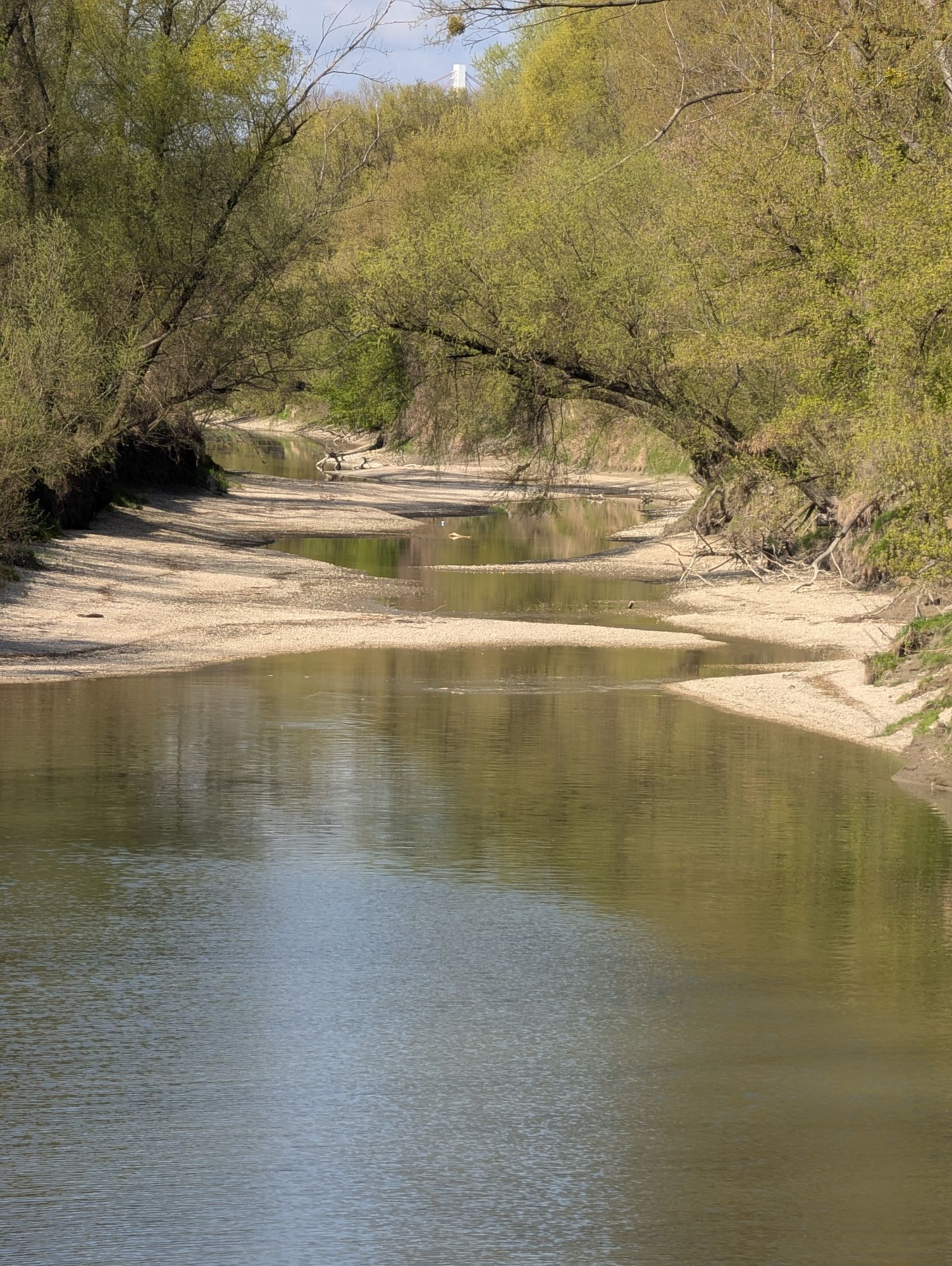
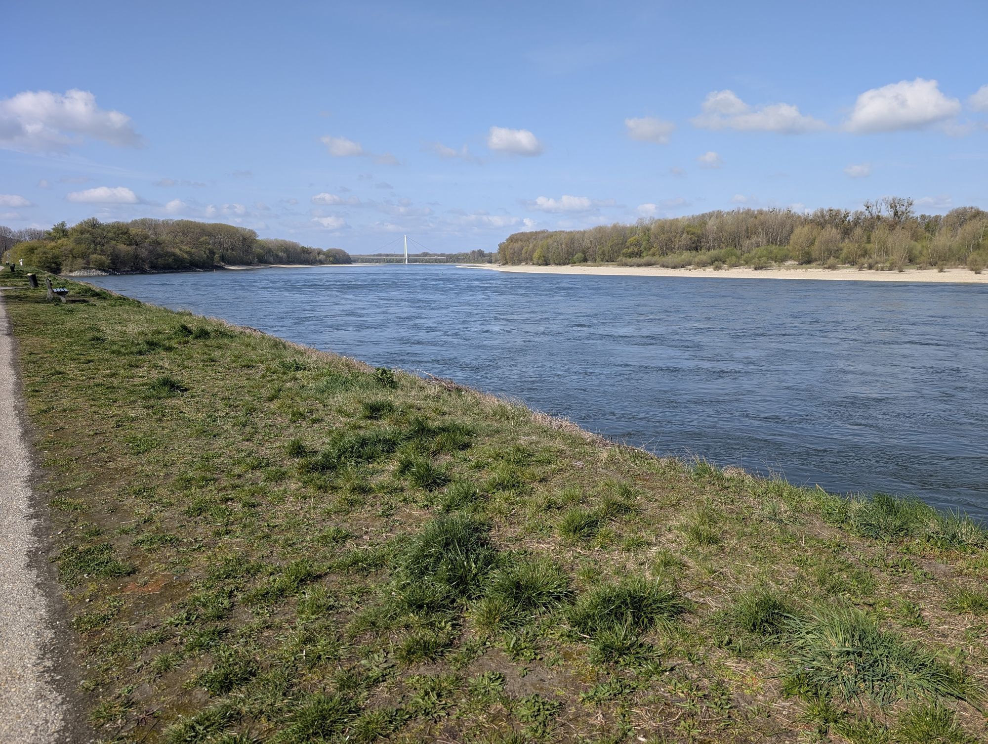
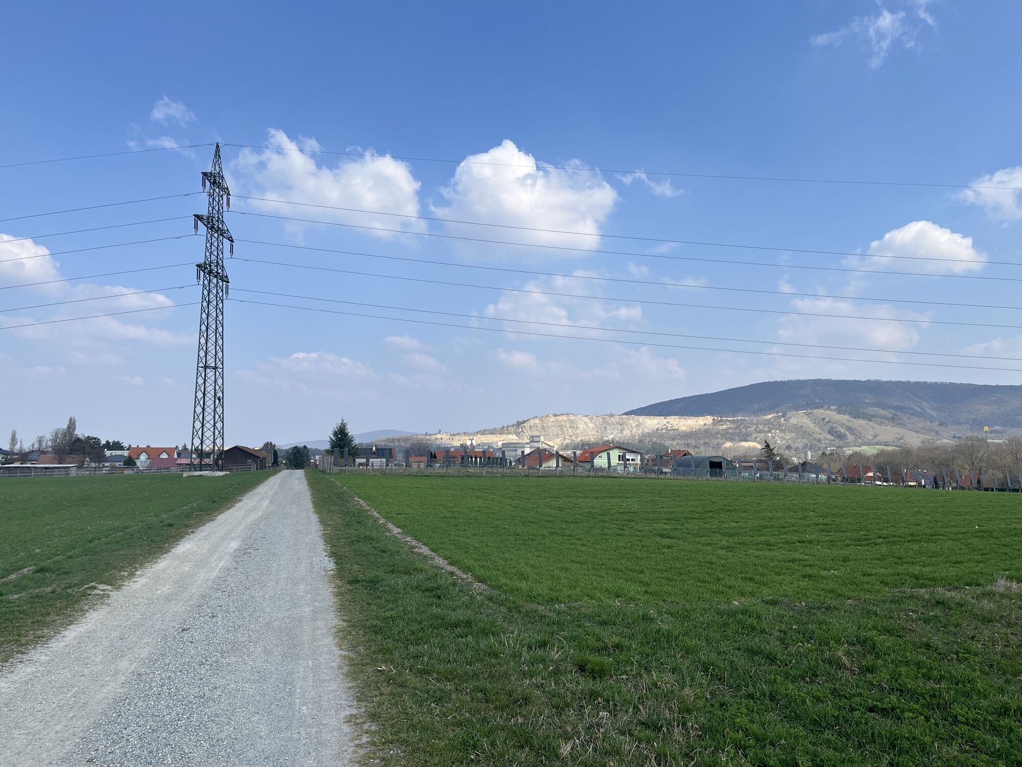
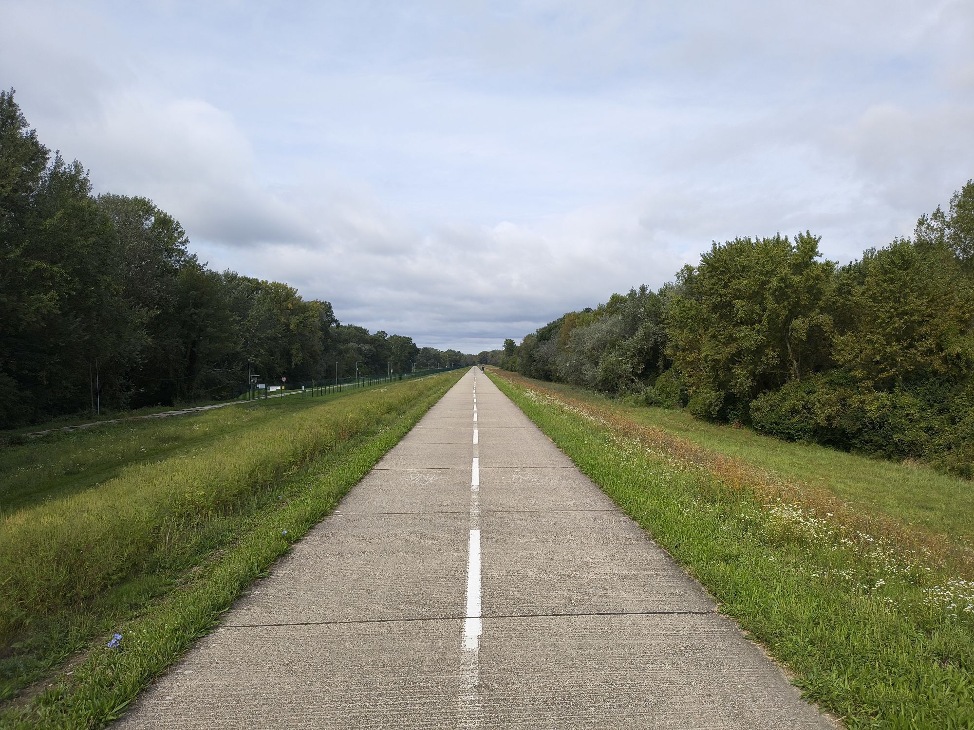
<p>Petronell - Bad Deutsch-Altenburg - Hainburg - Bratislava</p><p><strong>Route description:</strong></p><p>You start your route in Petronell and first follow the main street eastward until you turn into Solafeldgasse at the edge of town. At its end, you continue east until you reach Bad Deutsch-Altenburg, whose quarry is already visible from afar. If you have enough time, you can refresh your tired legs in the local thermal baths. Bad Deutsch-Altenburg has the strongest iodine-sulfur springs in Europe.</p><p>In Bad Deutsch-Altenburg, head towards the Danube bank and pass under the B49. Shortly afterward, you arrive in Hainburg. Here you take a break and visit the old but very well-preserved fortress complex. Back on the route, you say goodbye to the Danube bank, which you will only see again in Bratislava, ride along the railway tracks, and then a short section on Thebner Street, which you leave to the right at the first opportunity. You meet the B9 on whose north side there is a cycle path that you follow.</p><p>Shortly before the border, the federal road and the cycle path split. After a long left turn and a right turn, you ride along the riverside promenade of Bratislava and enjoy the view of the Danube, Bratislava Castle, and St. Martin's Cathedral during the last meters.</p>
<p>In Vienna, leave the A9 at exit 19-Fischamend and follow the B9 to Petronell.</p>
From the Wien Mitte-Landstraße stop, take the bus or train to Petronell.
<p>Parking lot at Petronell train station.</p>
Verantwortlicher für den Inhalt dieser Tour
Donau Niederösterreich Tourismus GmbH
Letzte Aktualisierung: 10.11.2025
Popularne wycieczki w okolicy
-
4,6
Eckartsauer Donaurunde
światłoWędrówka 8,96 km -
3,8
Hainburg Hundsheimer Berg Schlossberg Braunsberg 20190427
światłoWędrówka 9,60 km -
3,0
Braunsberg
średniWędrówka 6,38 km -
4,8
Hainburg - Hundsheimer Berg - Schlossberg - Braunsberg
światłoWędrówka 13 km -
4,5
Stopfenreuther Au
światłoWędrówka 5,14 km -
5,0
Hainburg - Arche-Noah-Halbhöhle - Devín - Braunsberg
średniWędrówka 10,9 km -
4,7
Hainburg an der Donau - Arche-Noah-Halbhöhle - Braunsberg
światłoWędrówka 4,42 km -
5,0
Karpaten: Hainburg - Braunsberg
światłoWędrówka 5,24 km -
5,0
Hundsheimerberg - Angelos Touren
światłoWędrówka 6,36 km -
3,0
Schloßhof - Devin - Bratislava - Hainburg
światłoJazda na rowerze 50 km

Wędrówki i tropienie


Nie przegap ofert i inspiracji na następne wakacje
Twój adres e-mail została dodana do listy mailingowej.