







Danube Cycle Path Stage 5 North Bank: Emmersdorf - Krems

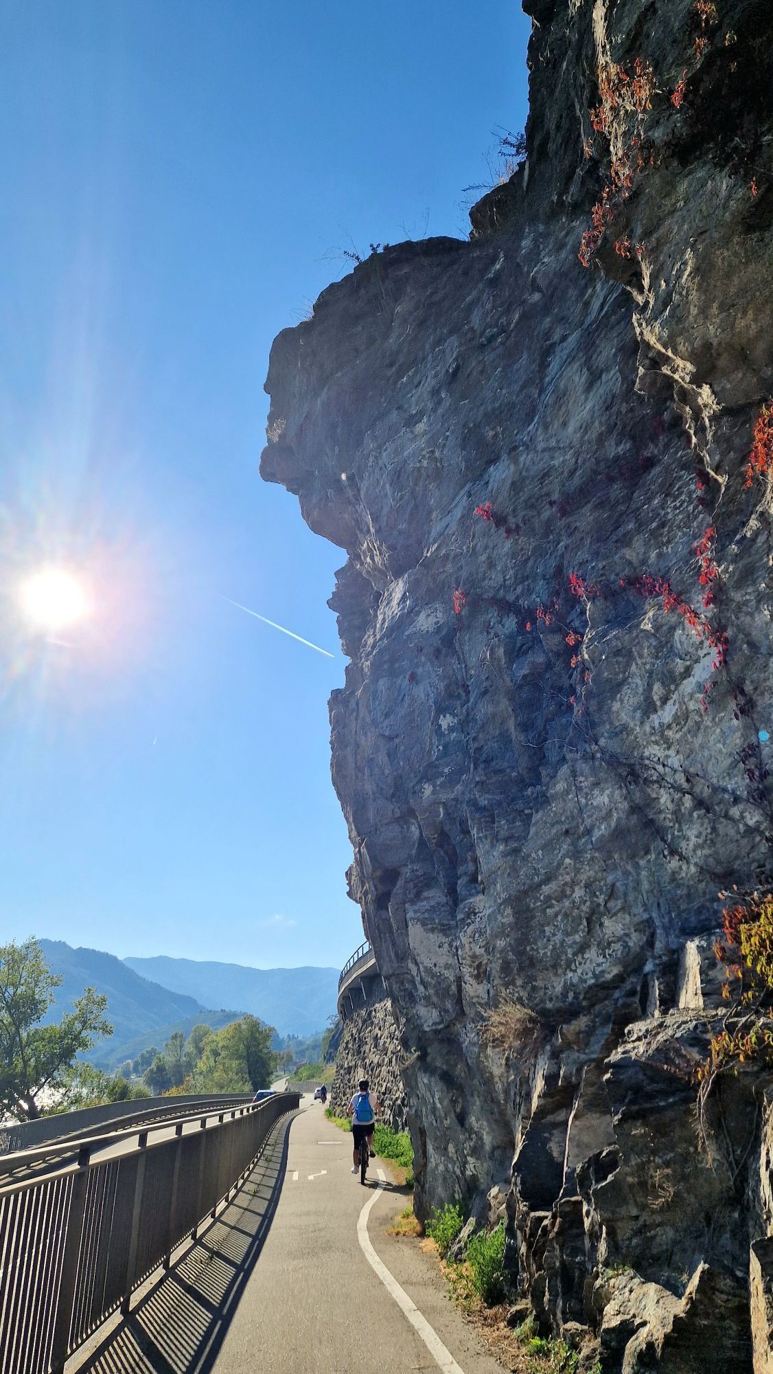
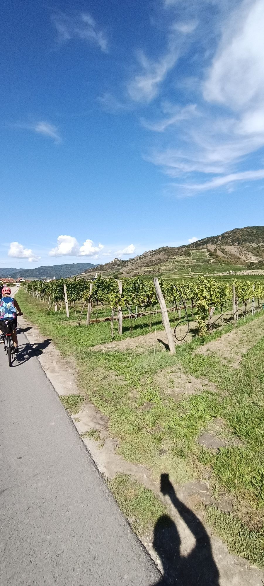
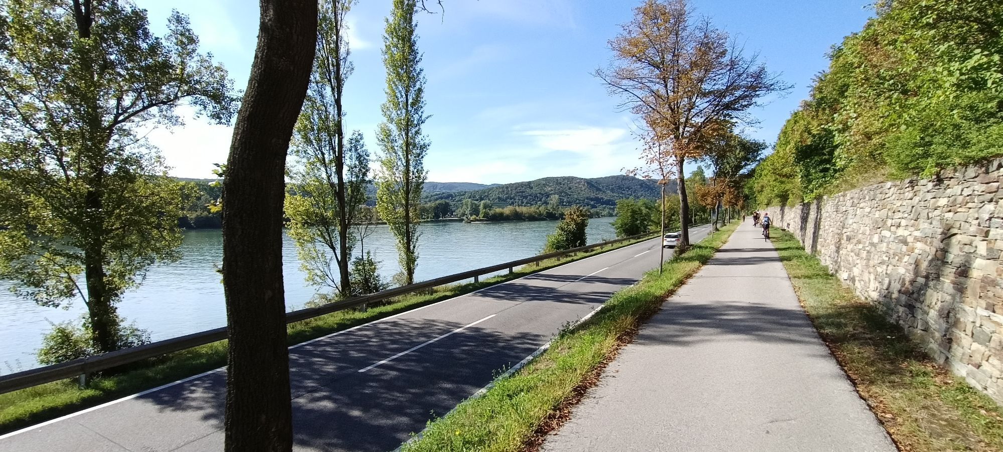
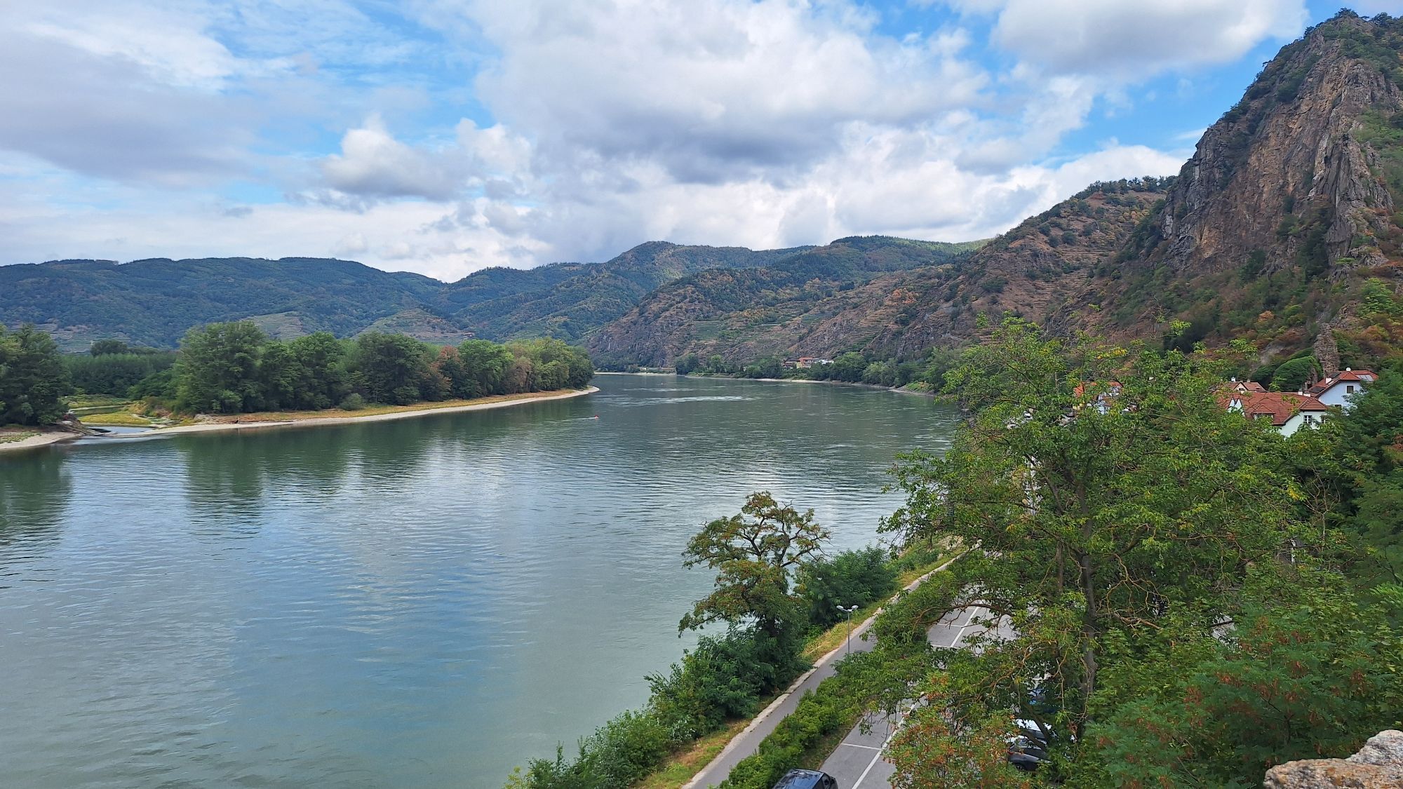
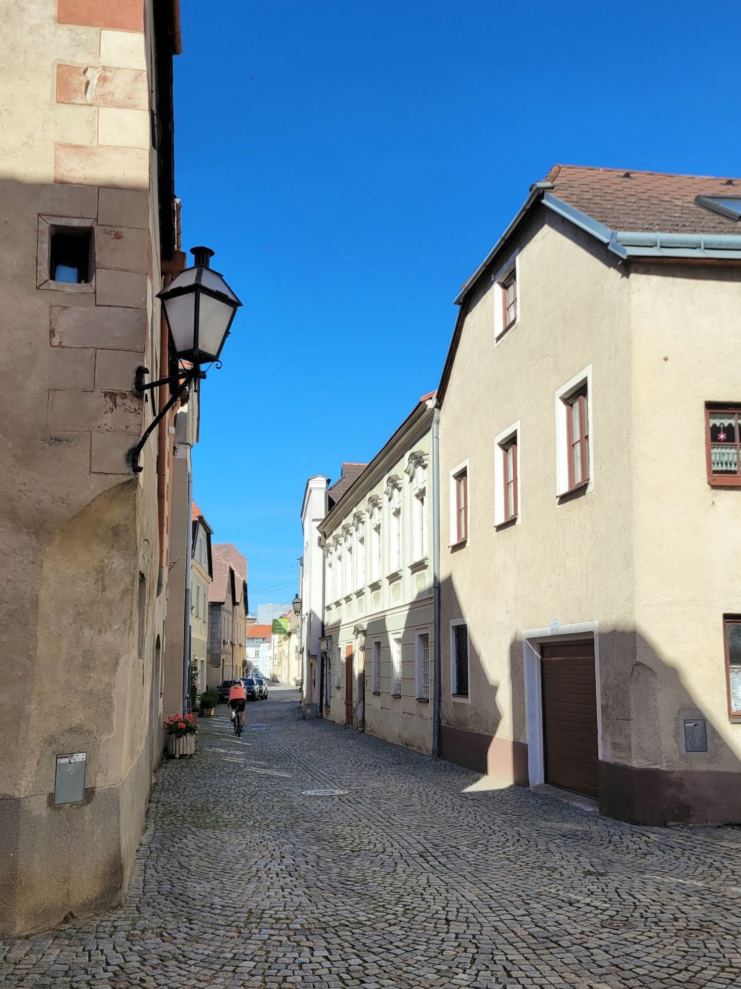
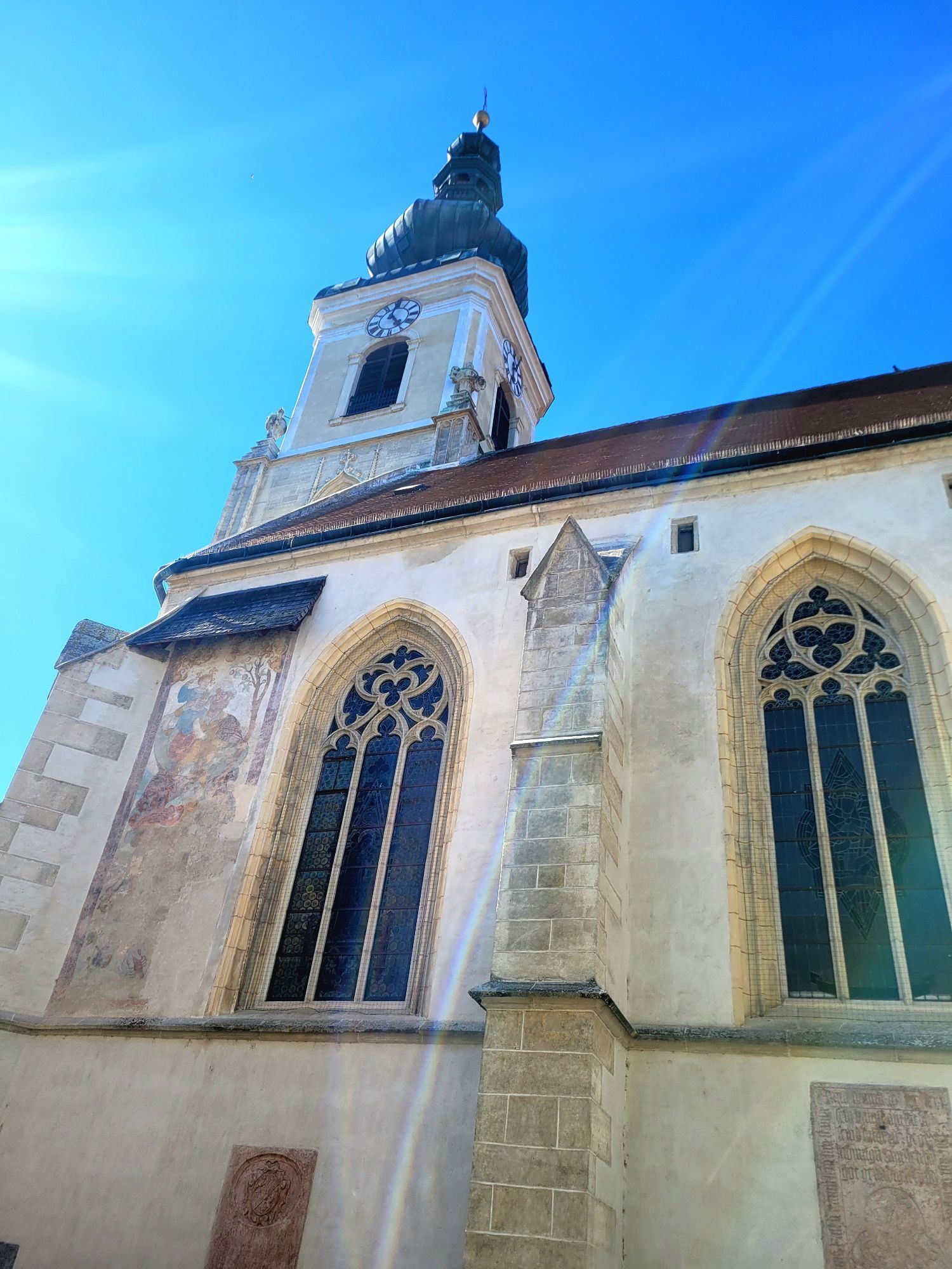
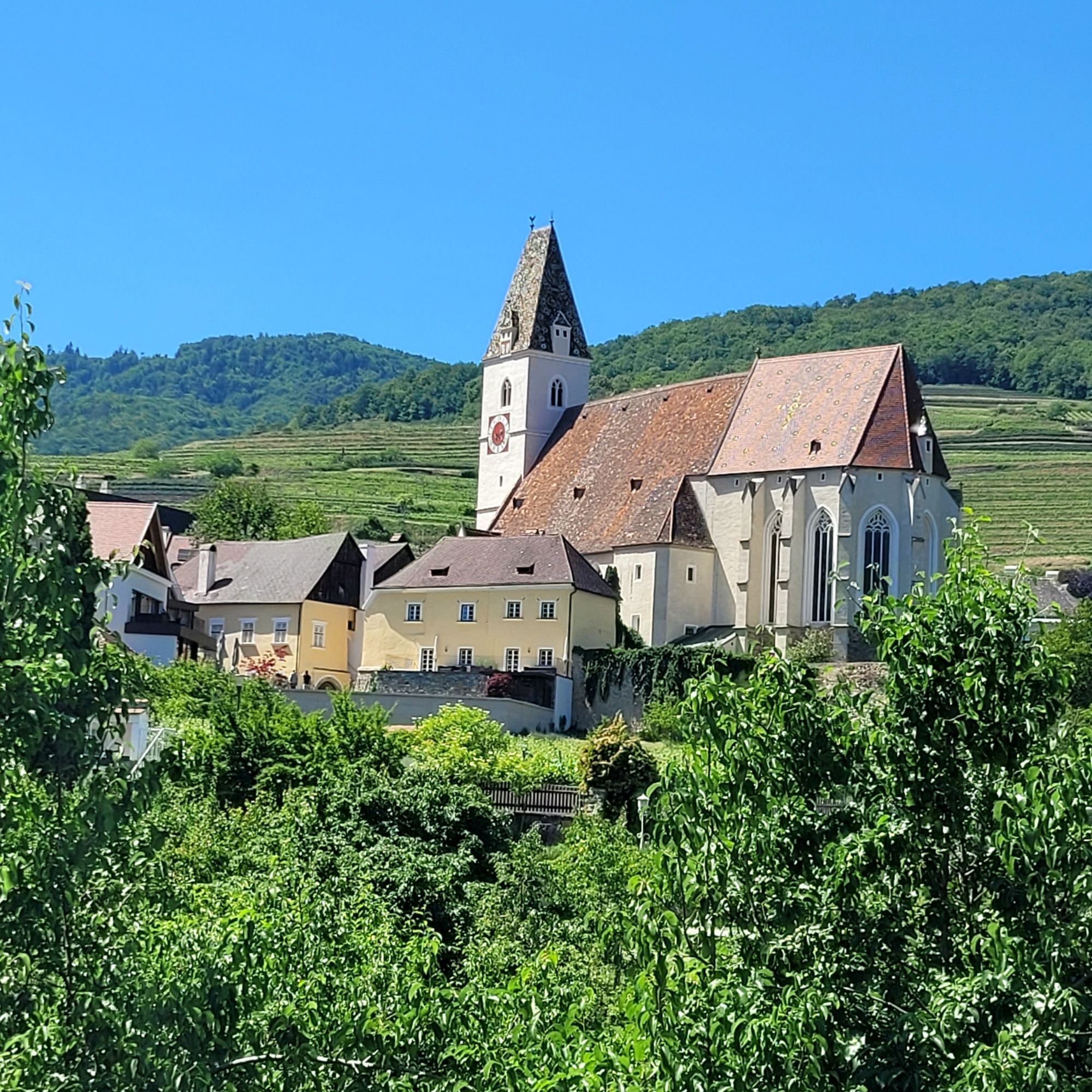
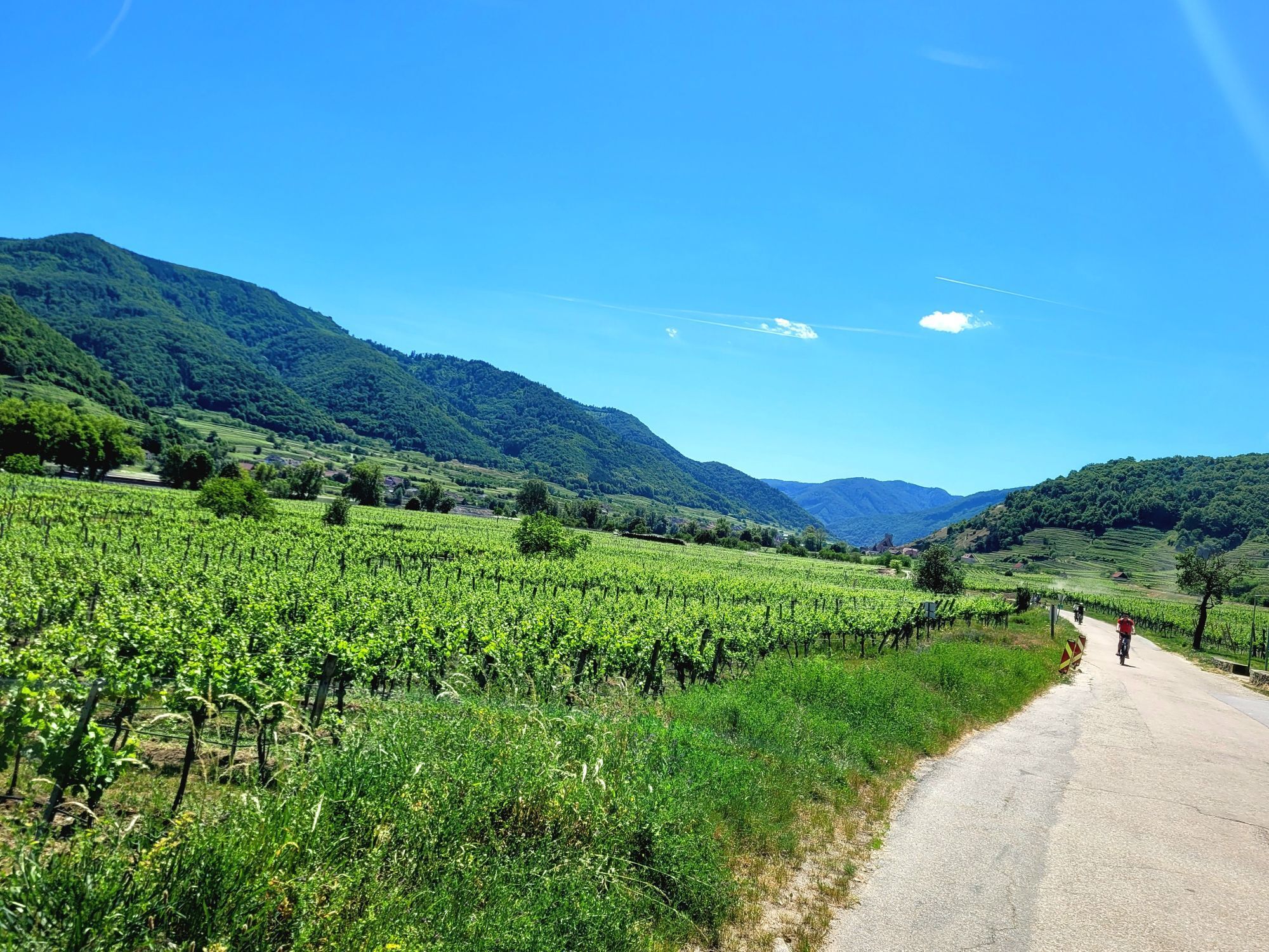
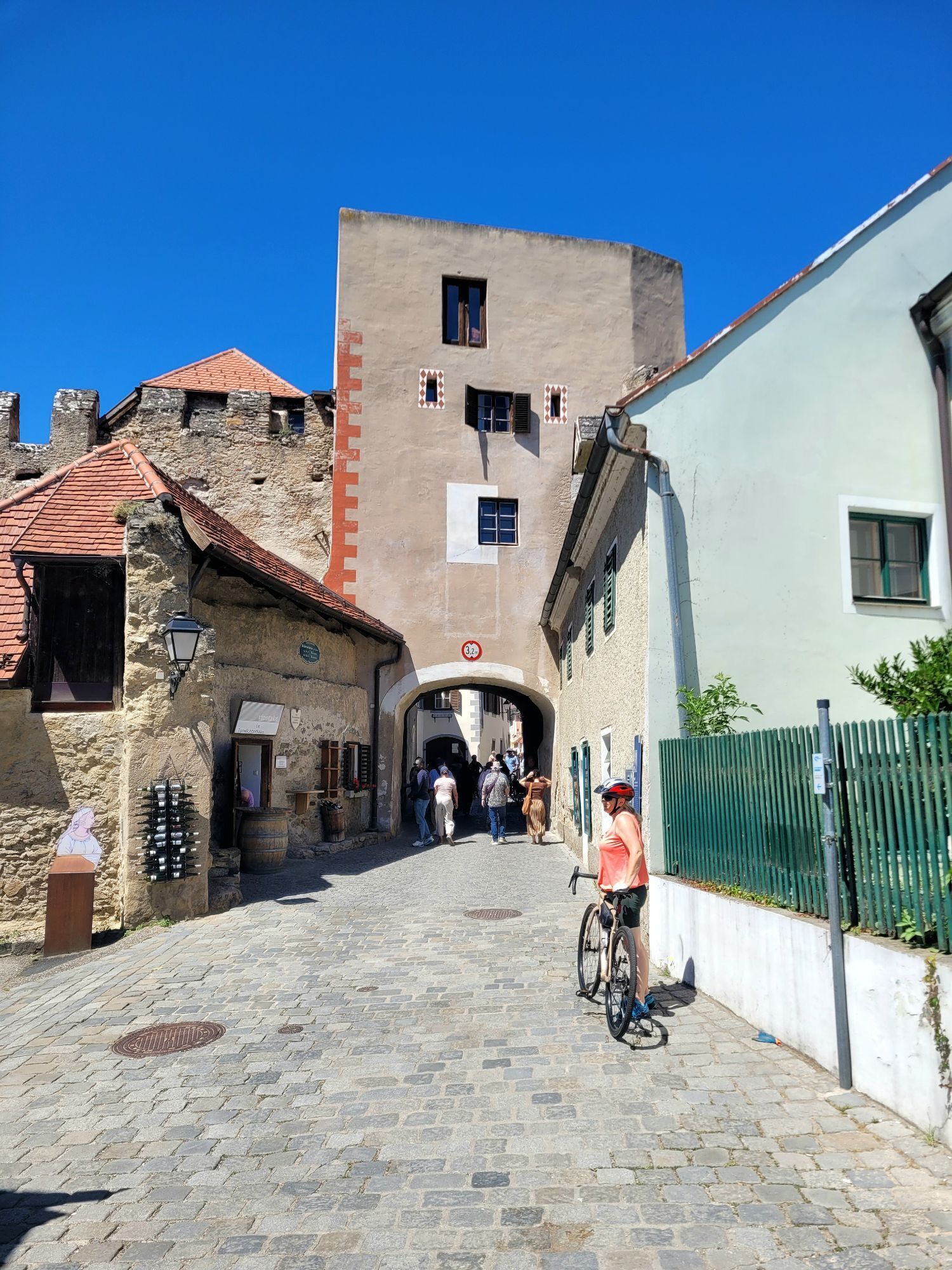
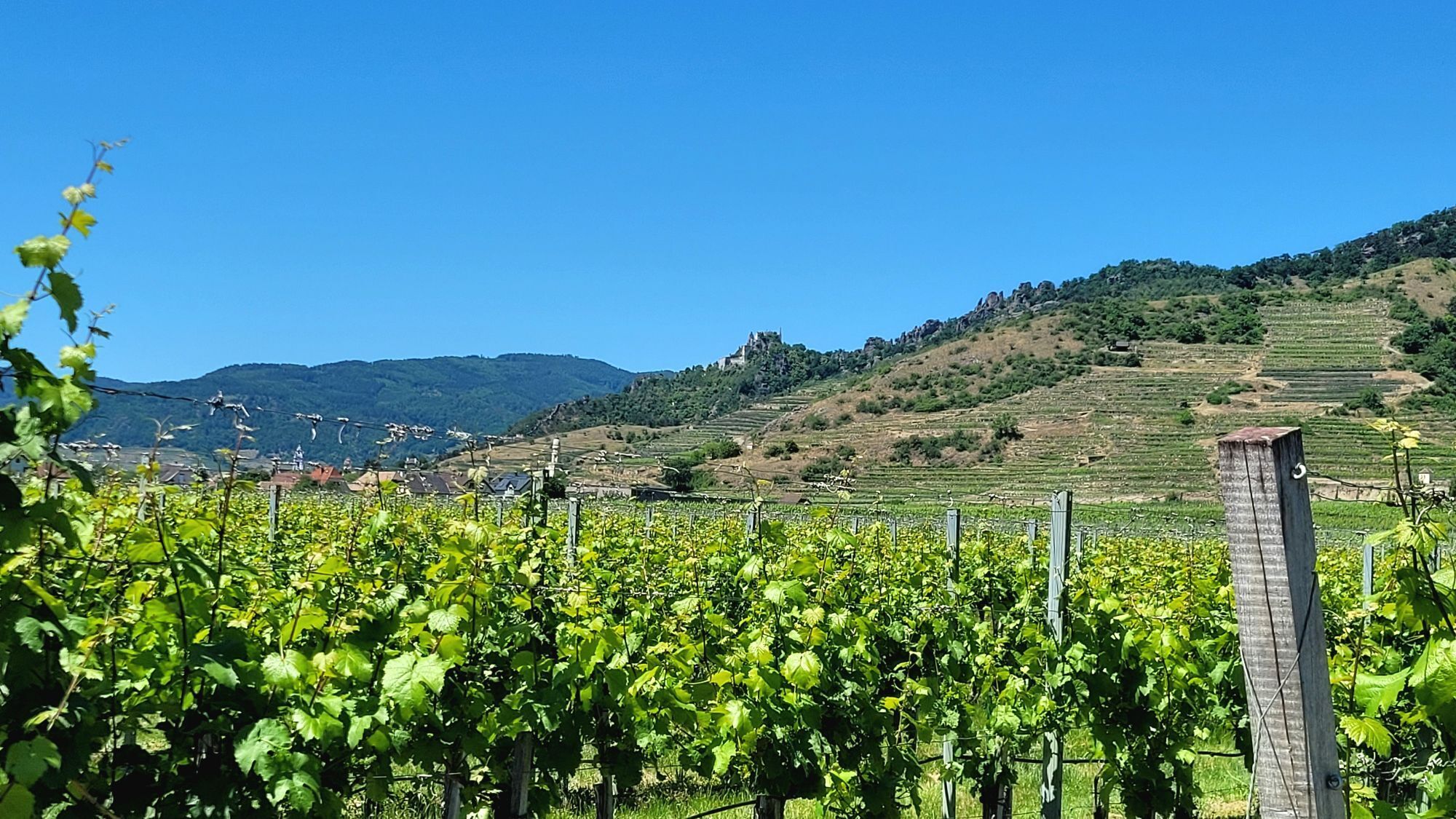
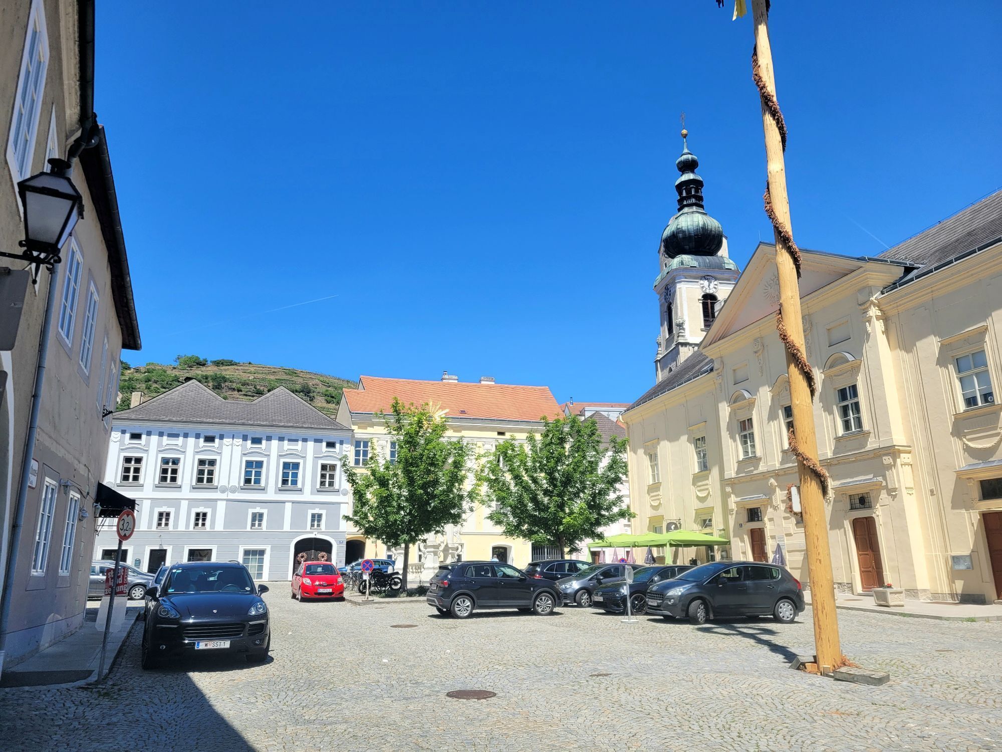
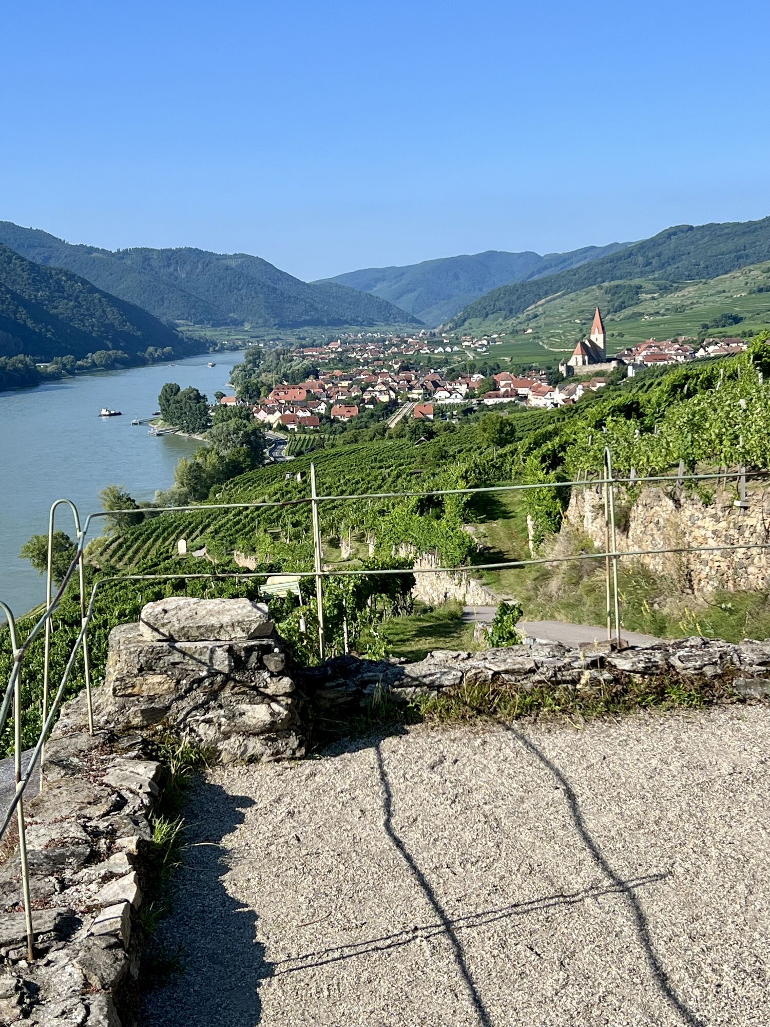
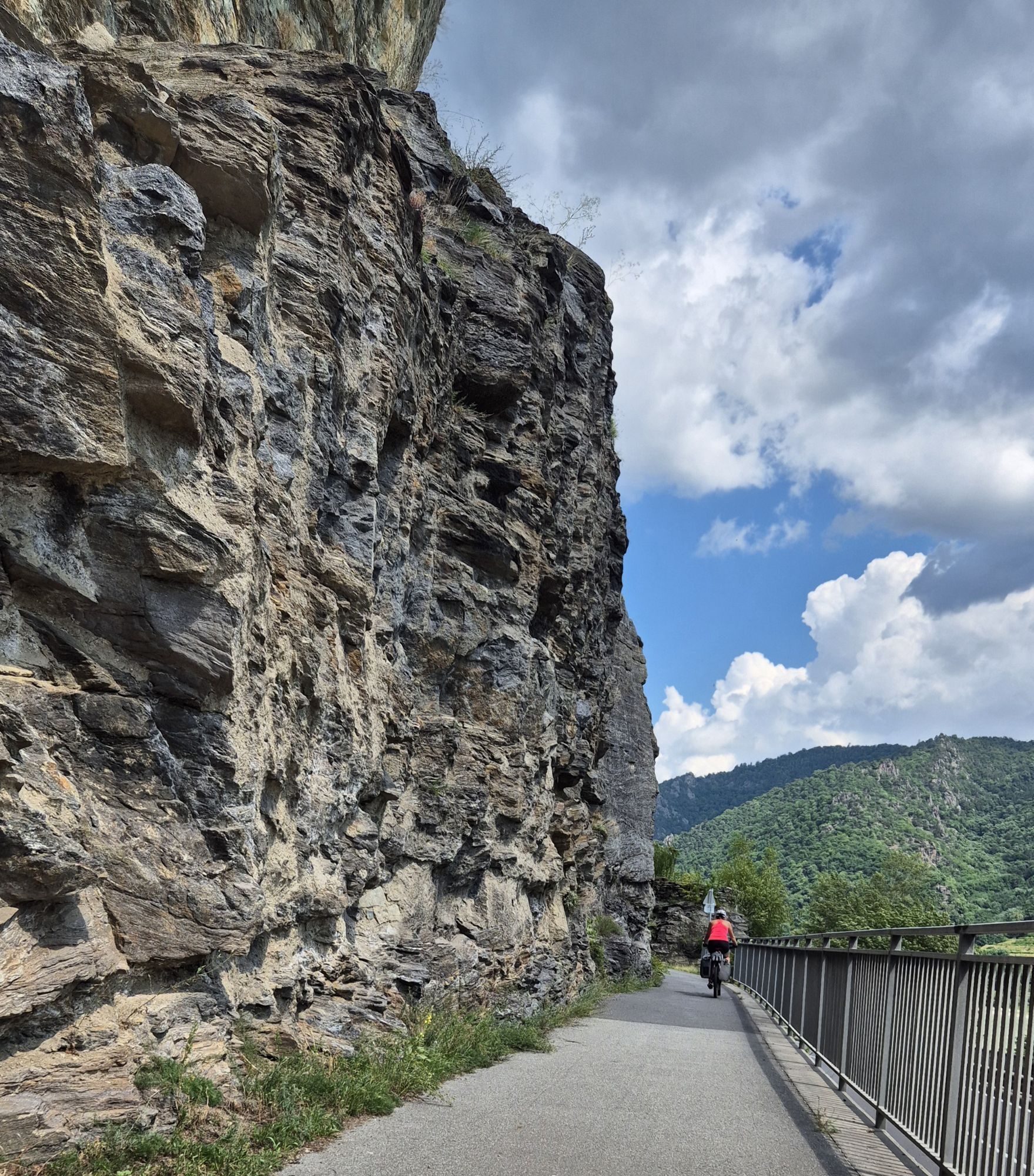

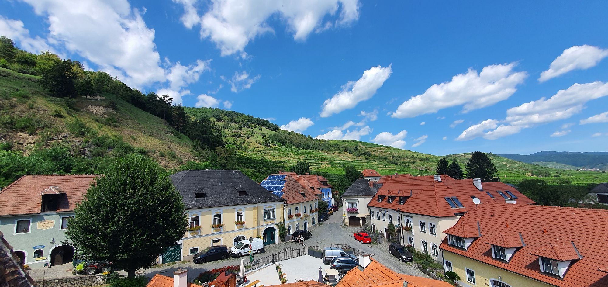
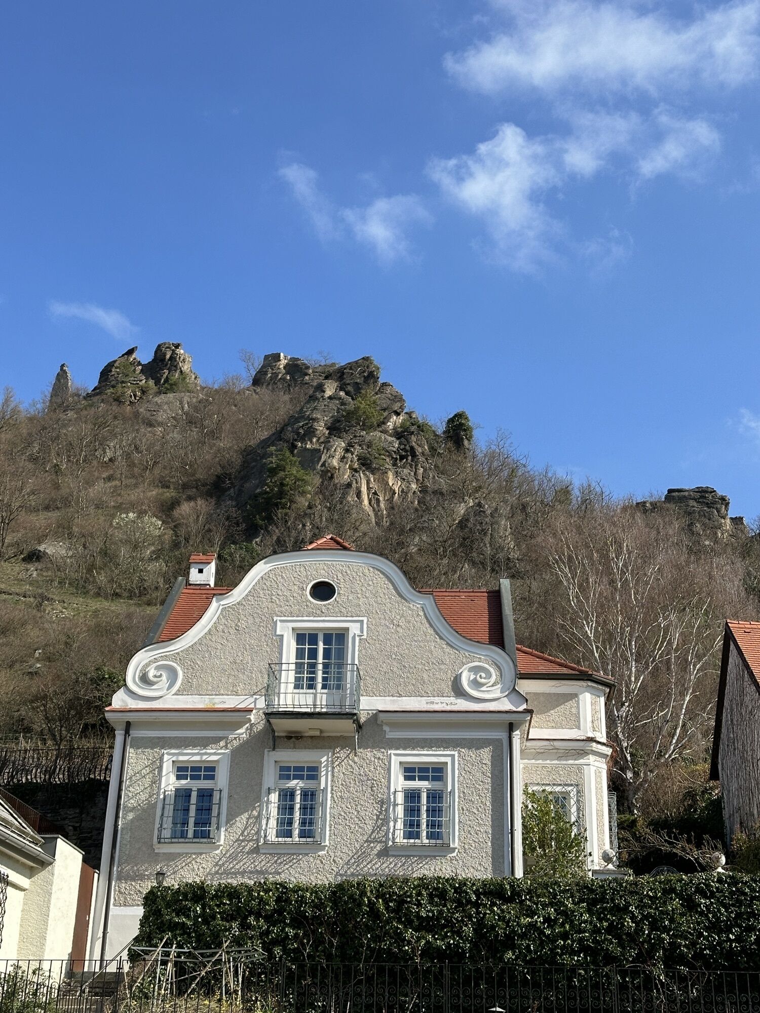
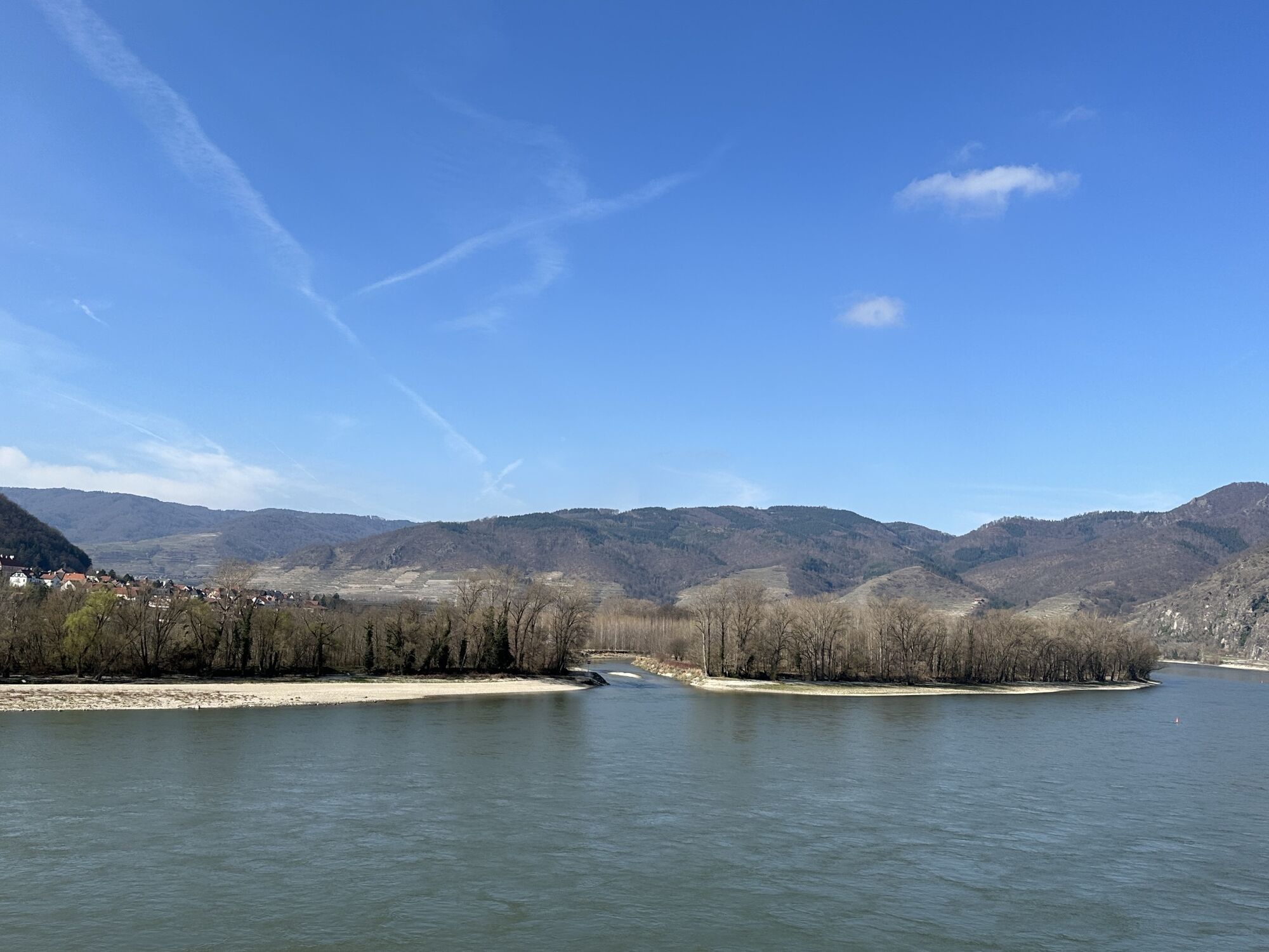
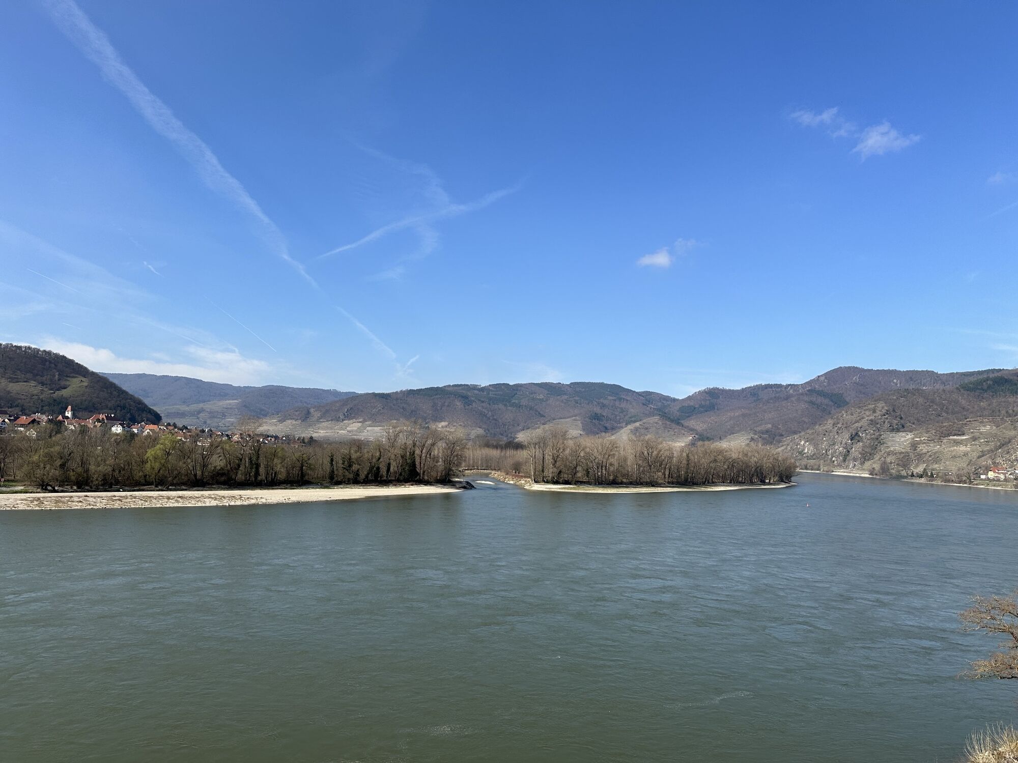
As soon as you leave Emmersdorf, you will vividly experience why UNESCO declared the Wachau a World Heritage Site: steep forest slopes are crowned with cliffs, vineyards gently arch, Danube waves play...
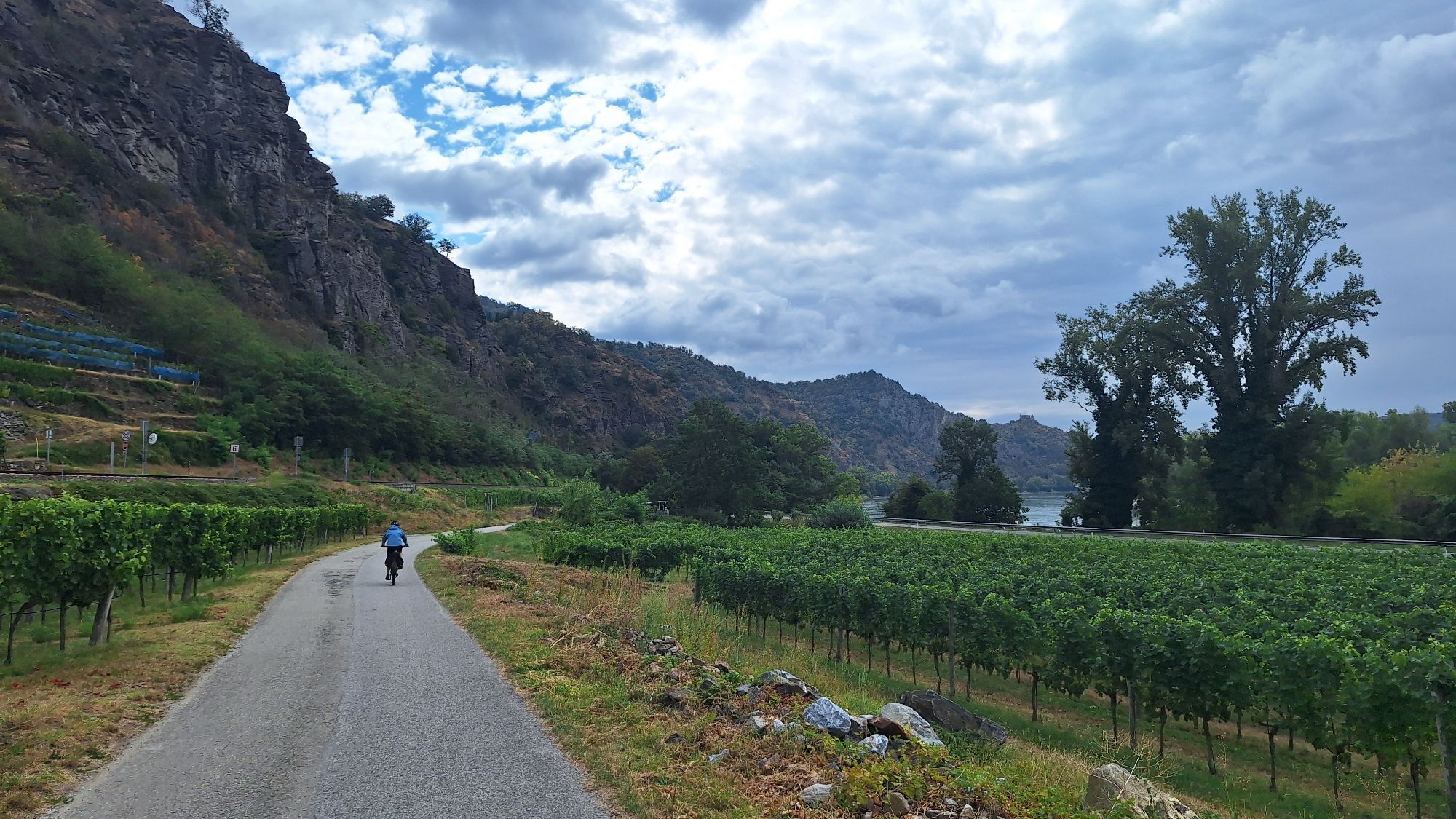
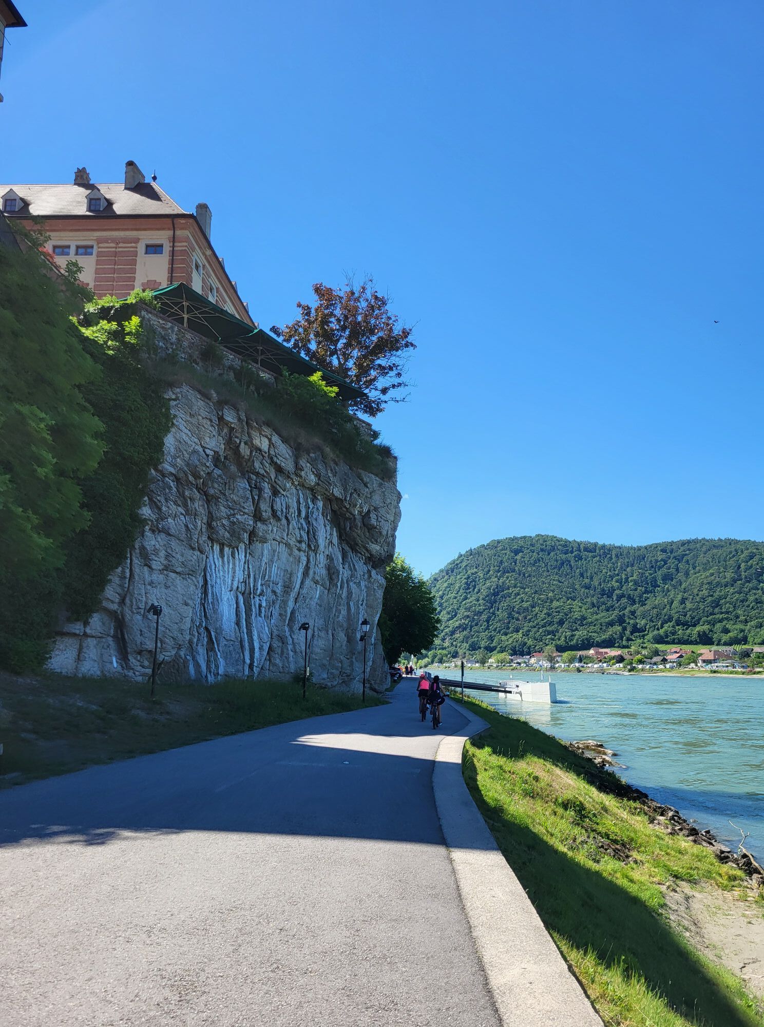
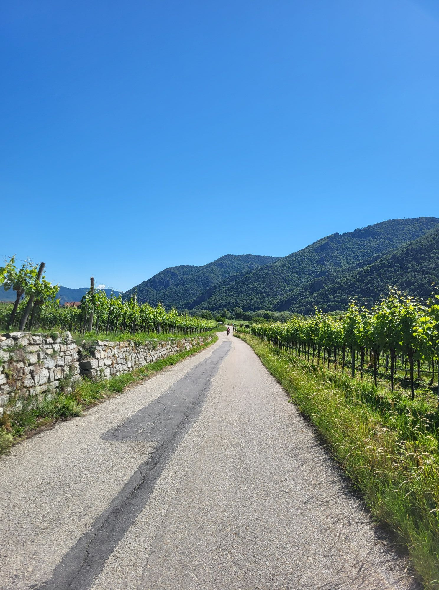
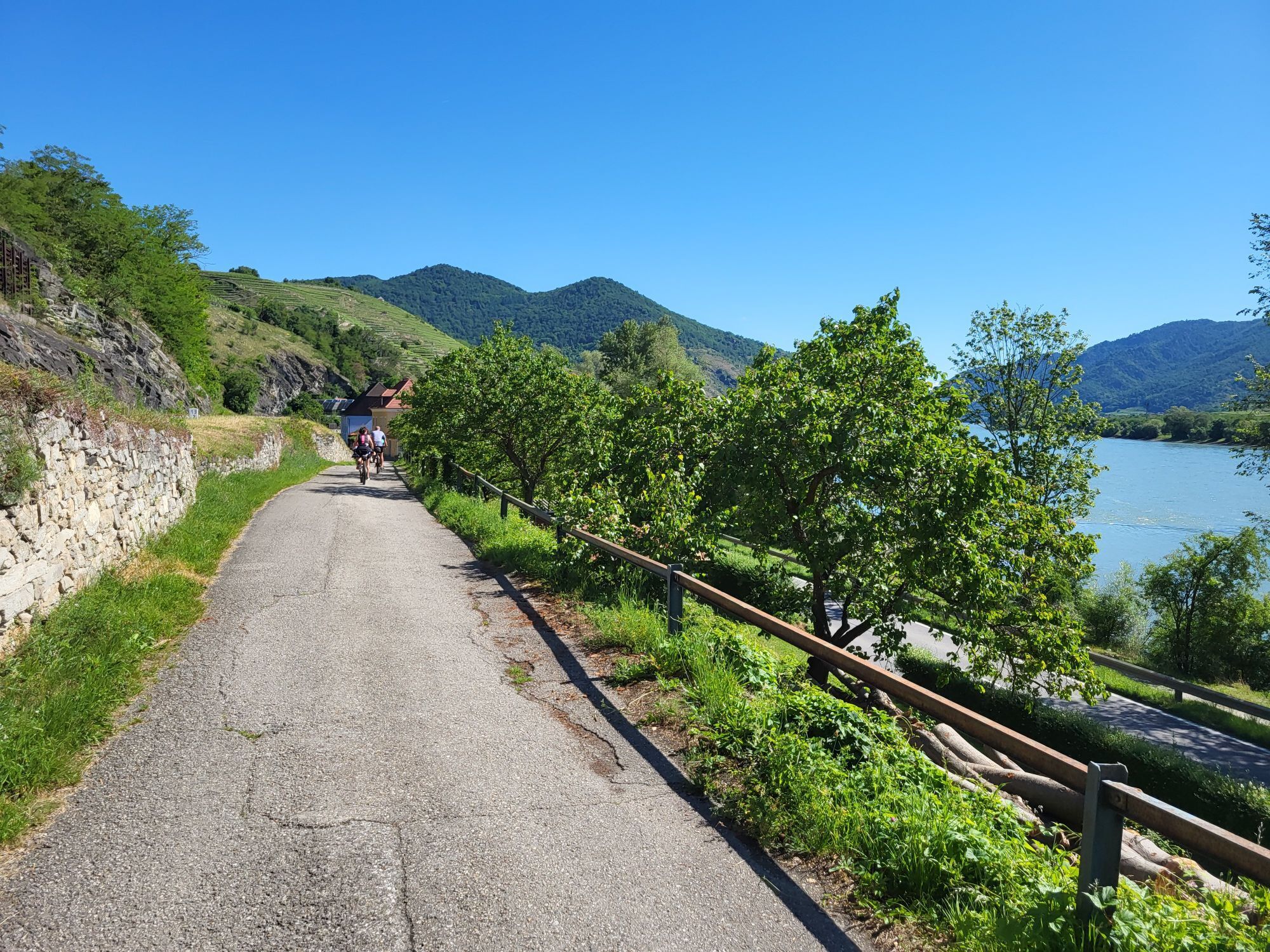
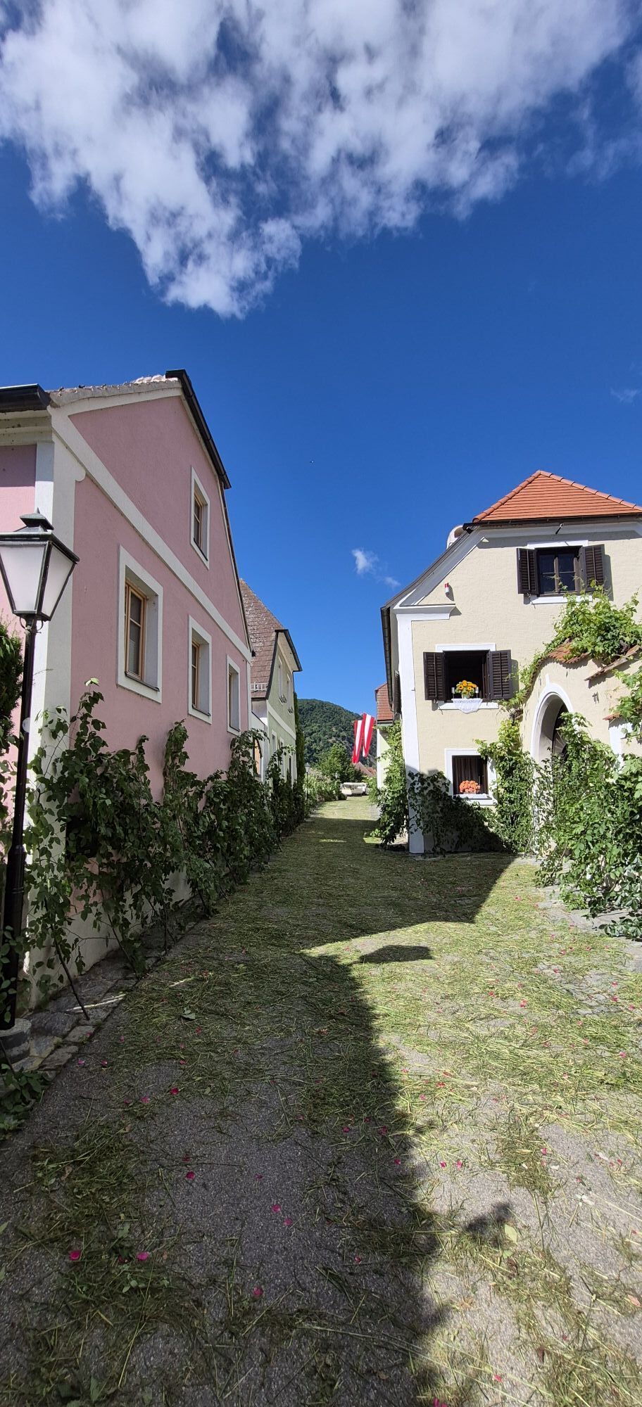
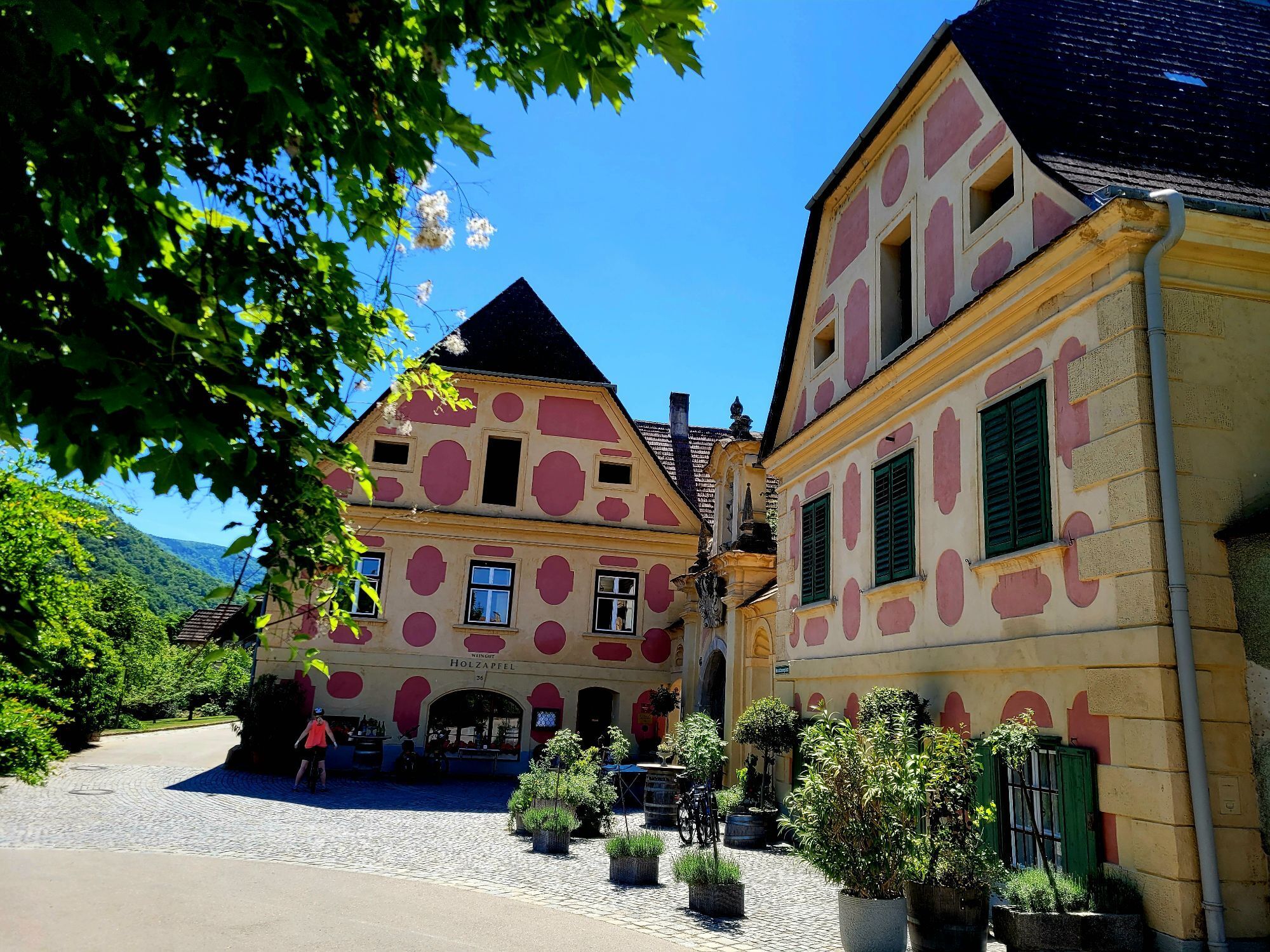
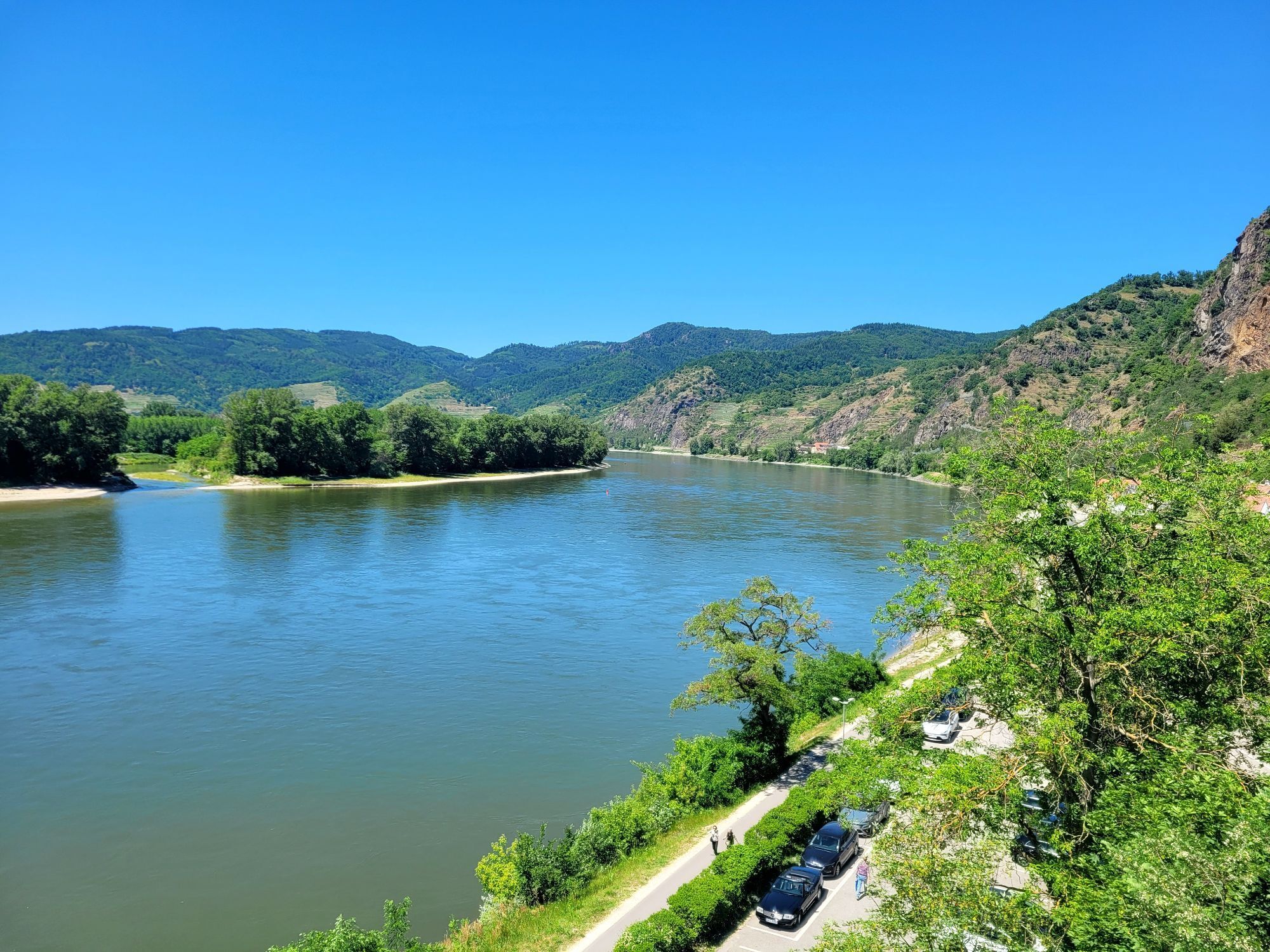
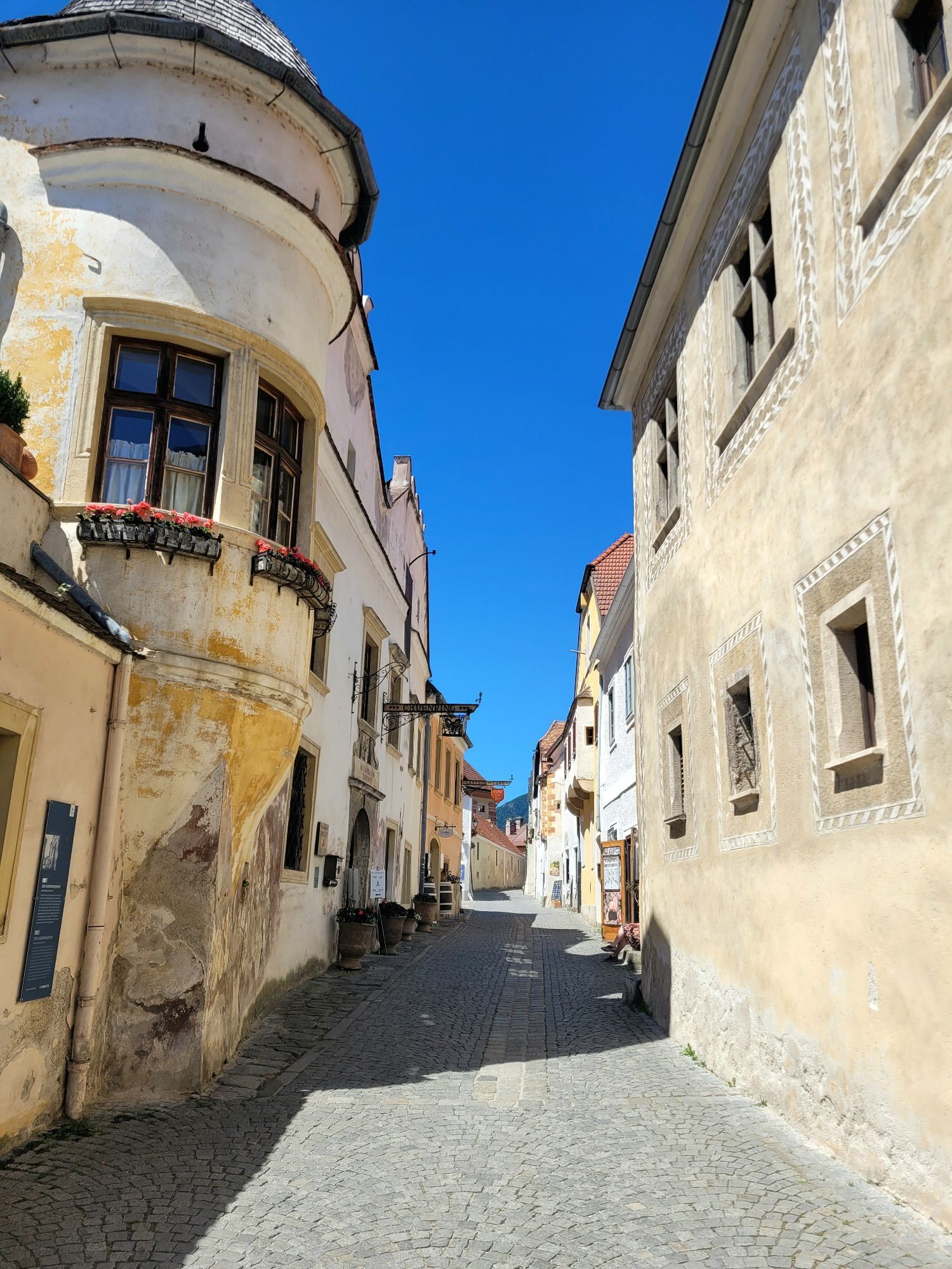
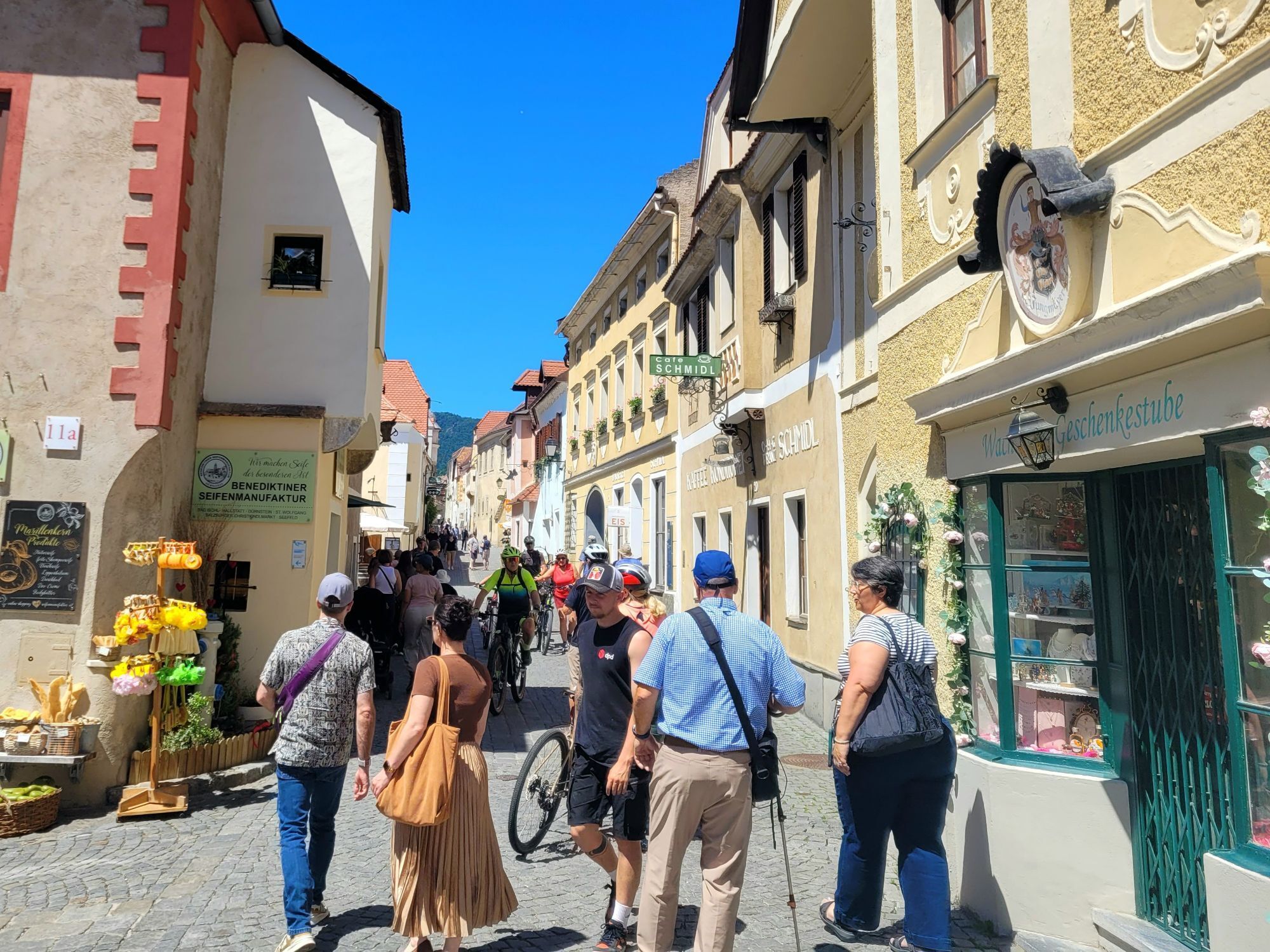
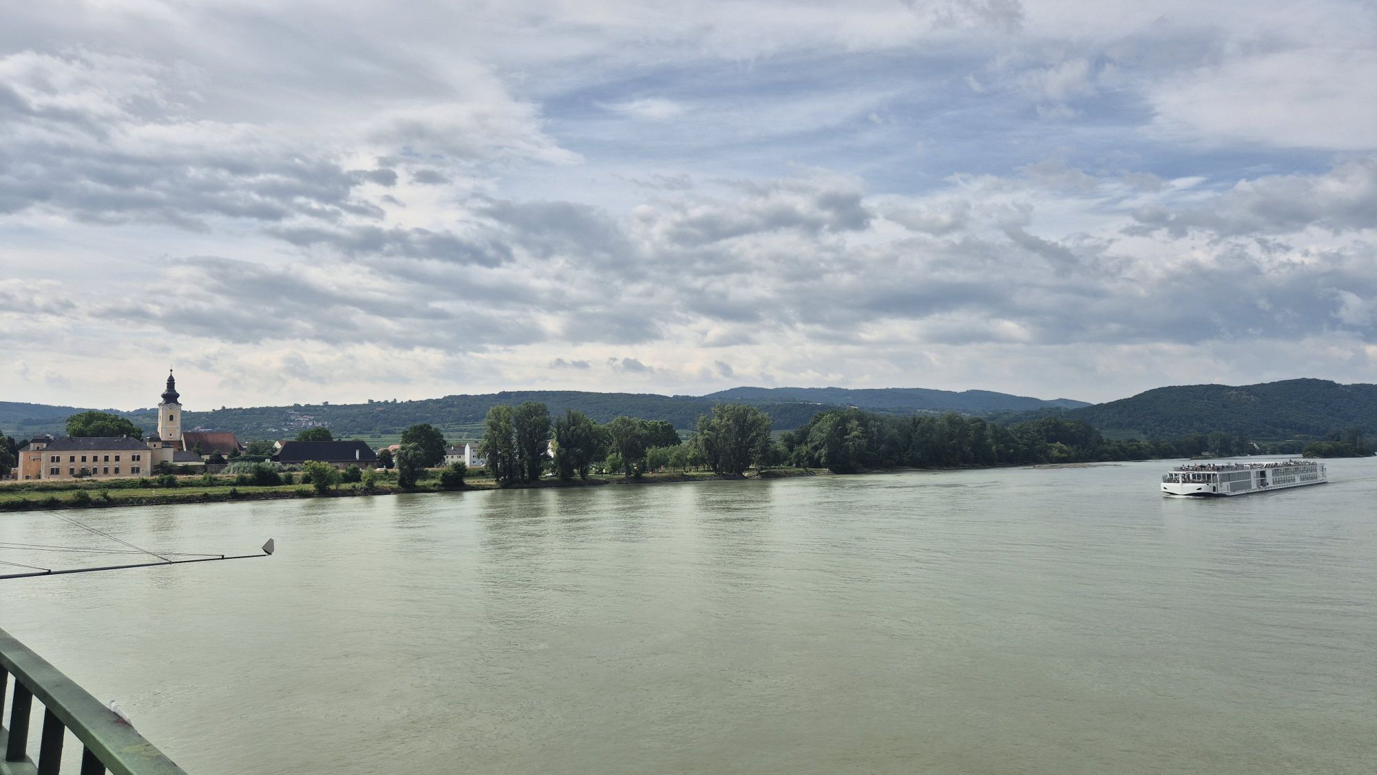
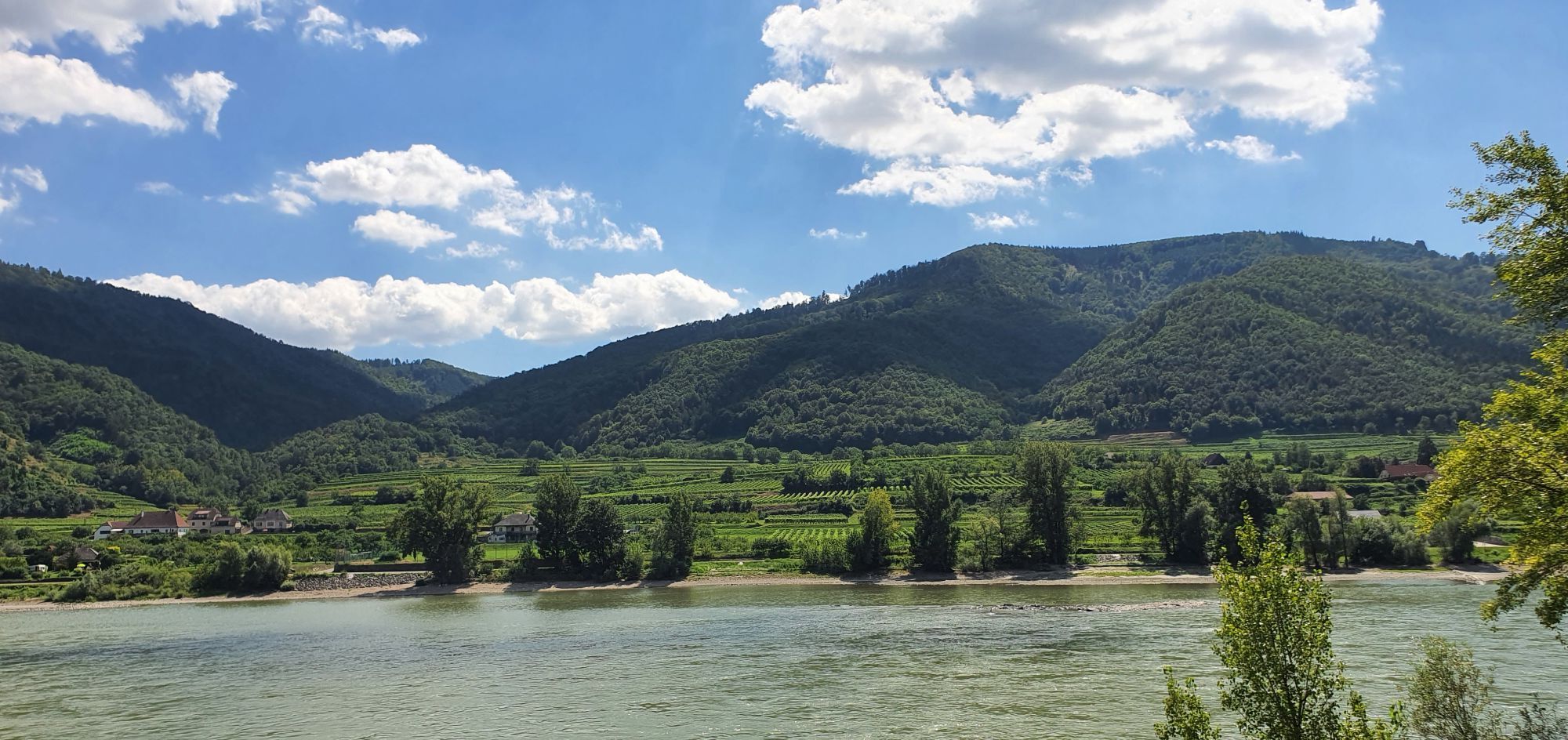
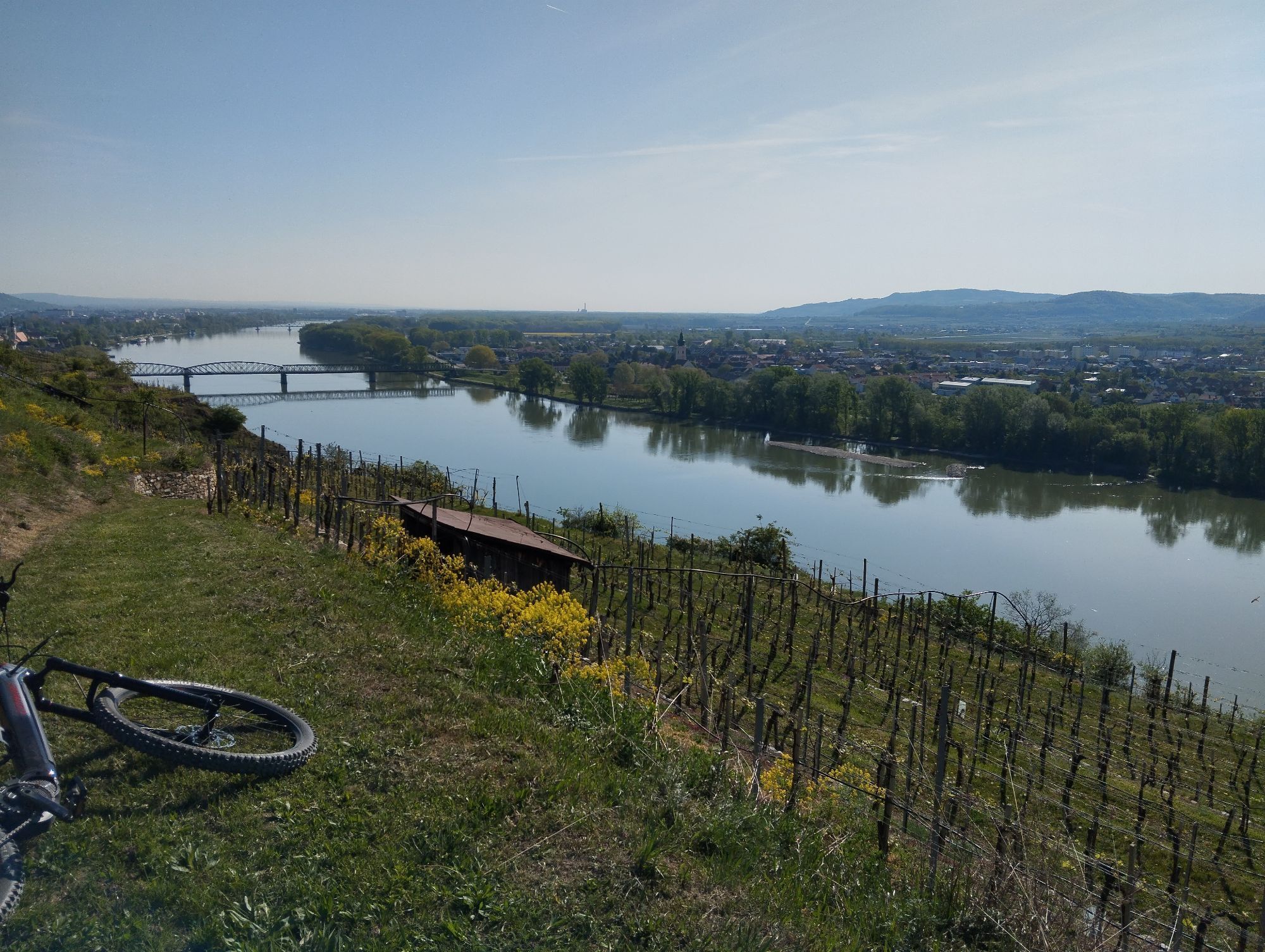
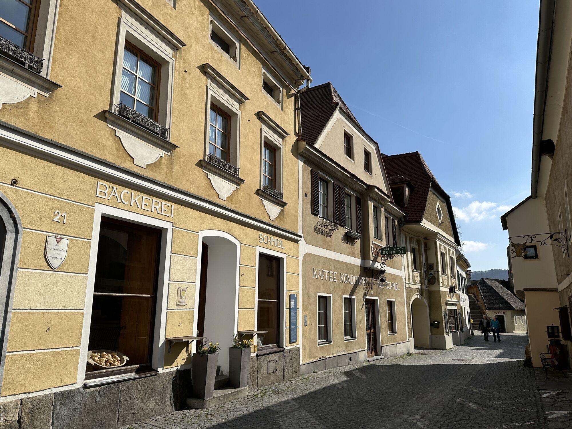
<p>As soon as you leave <strong>Emmersdorf</strong>, you will vividly experience why UNESCO declared the <strong>Wachau</strong> a World Heritage Site: steep forest slopes are crowned with cliffs, vineyards gently arch, Danube waves play on sandy beaches, historic ruins, old villages, and hospitable wine taverns line your path.
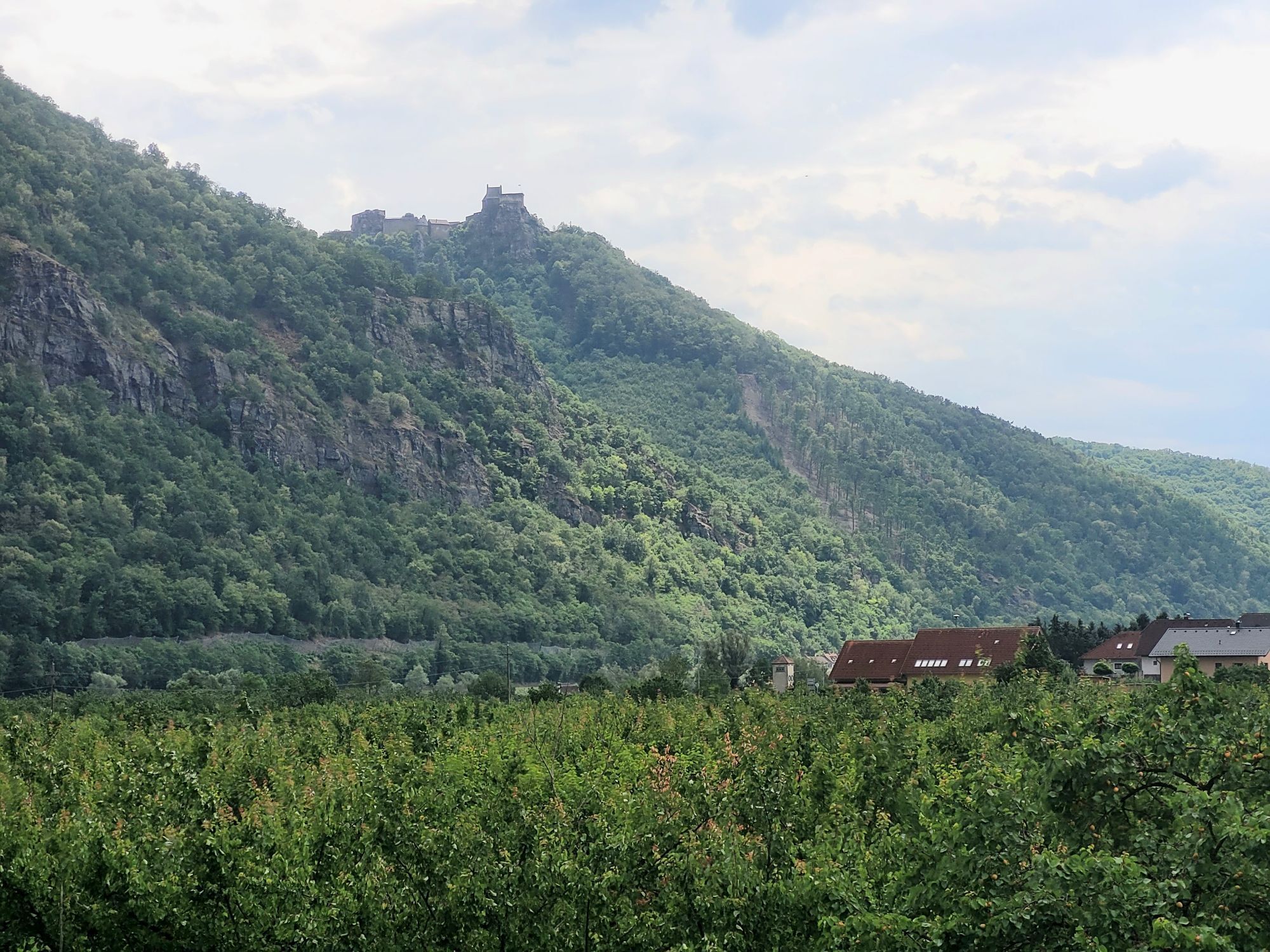
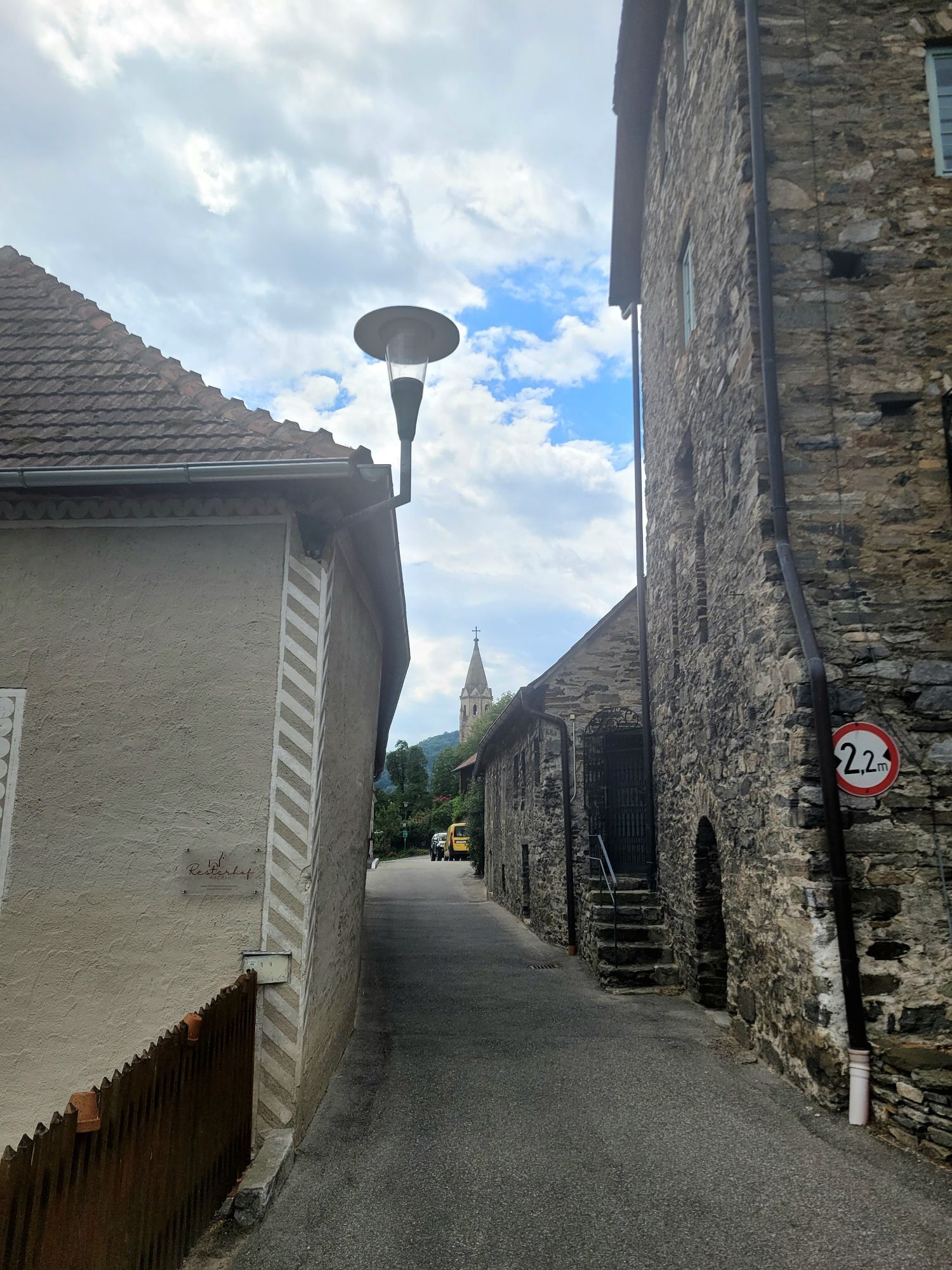
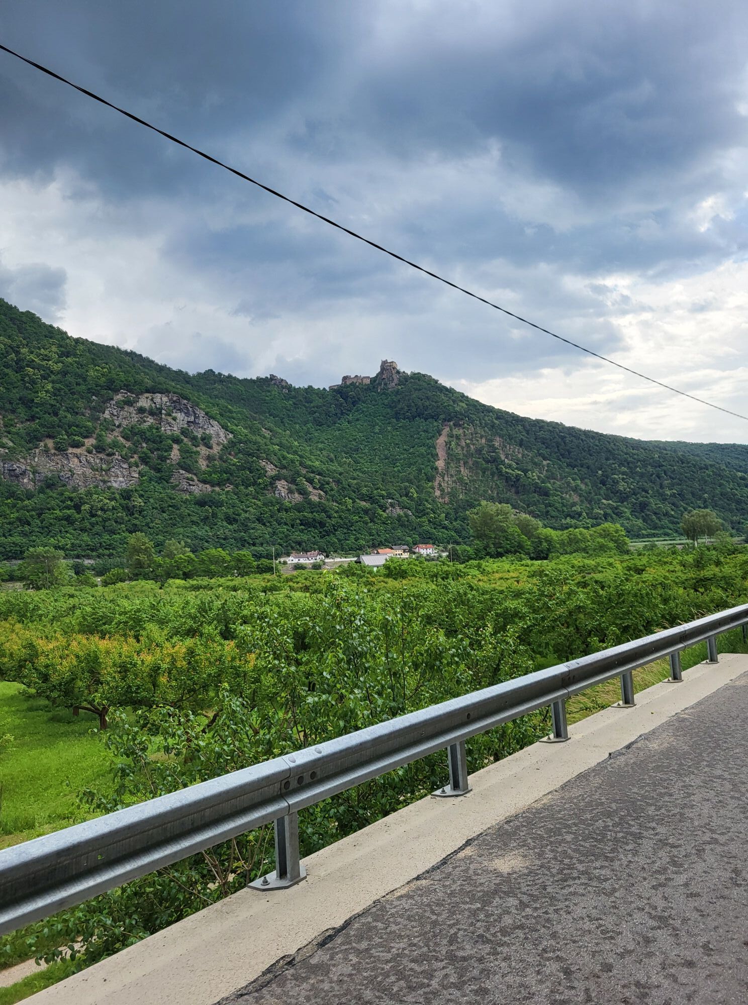
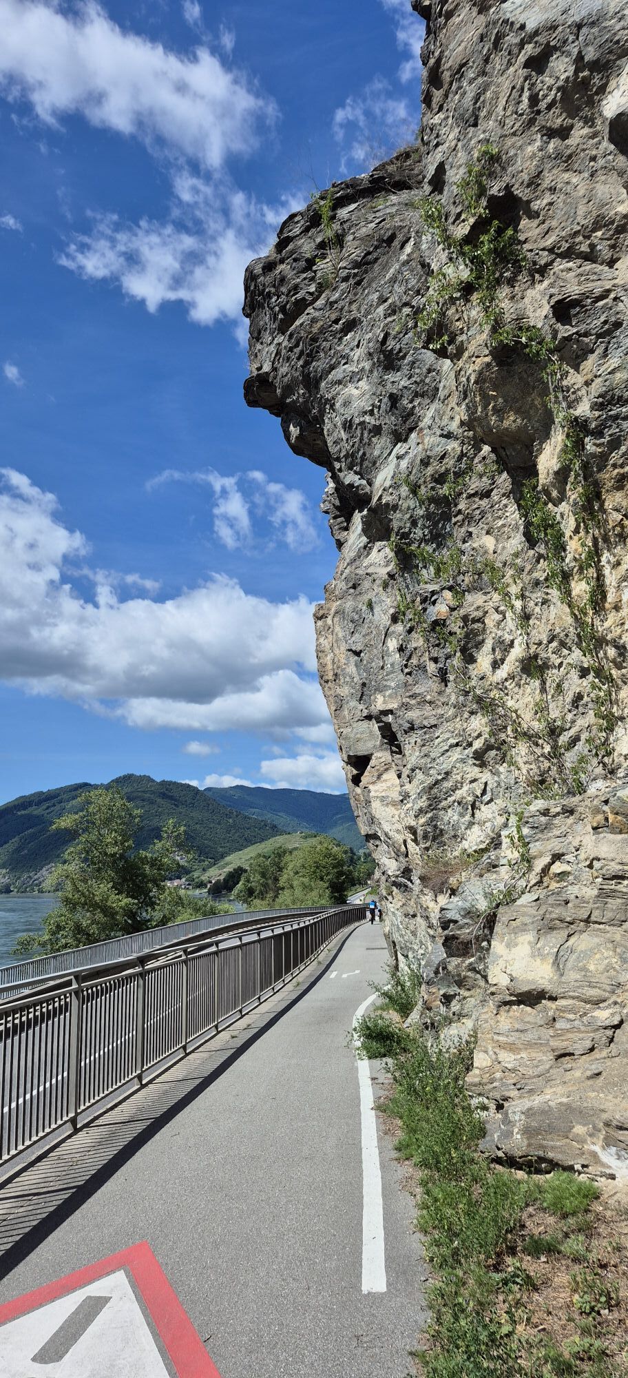
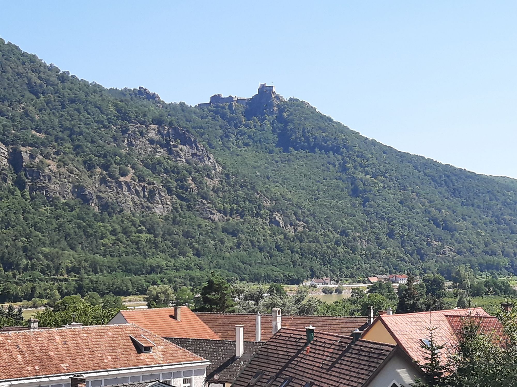
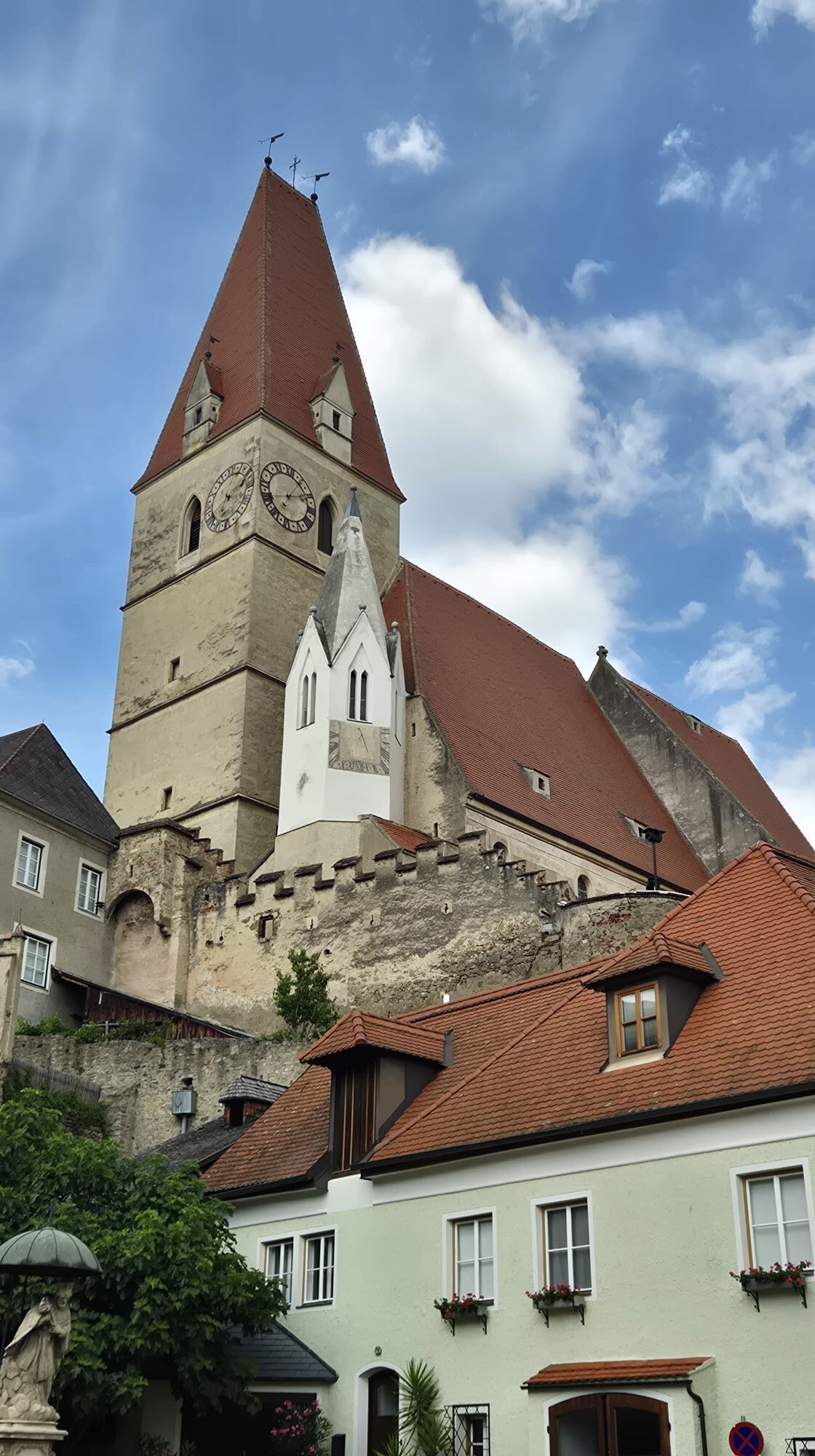
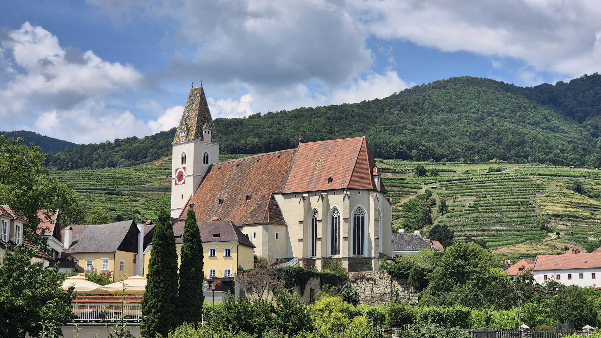
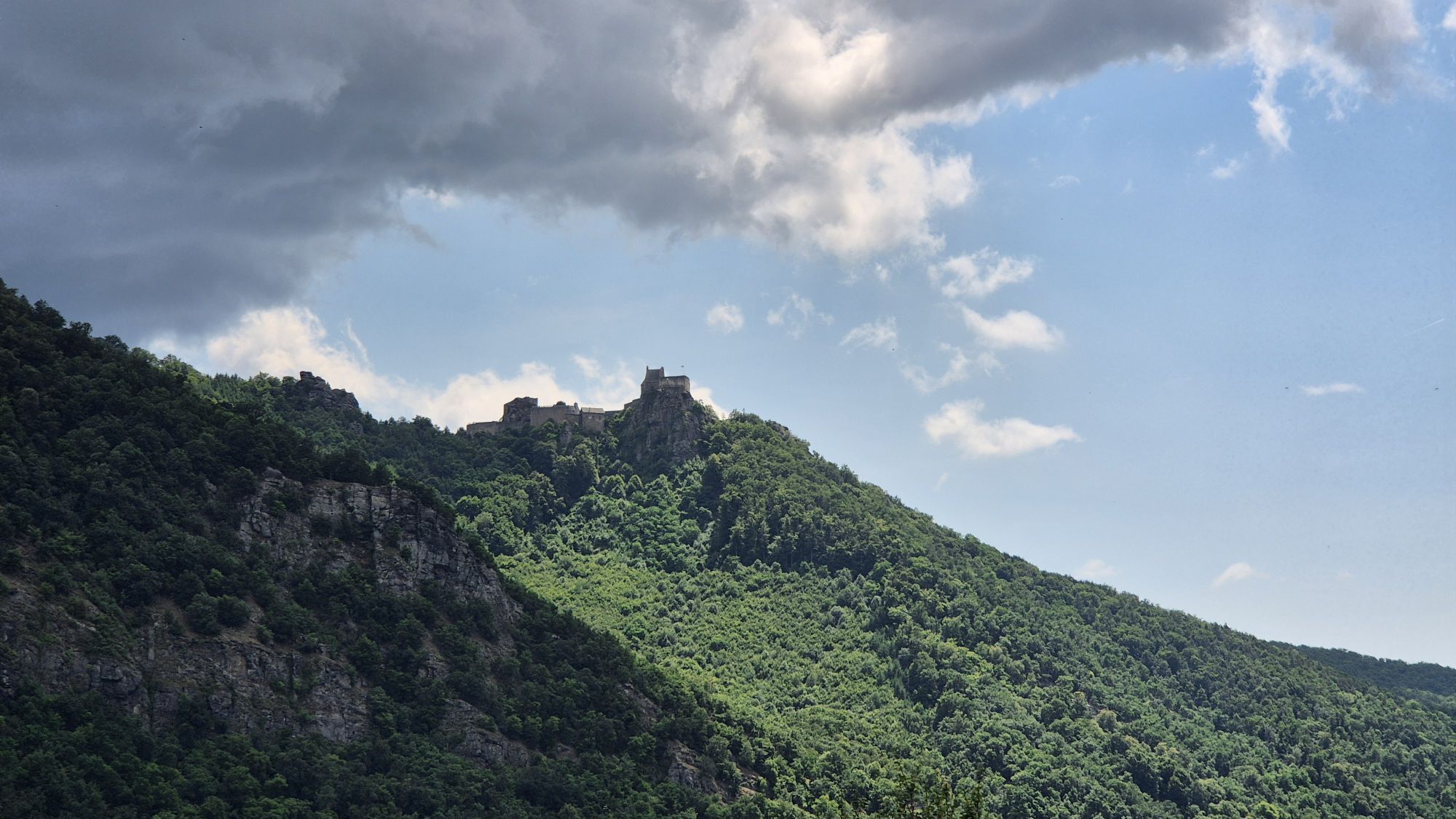
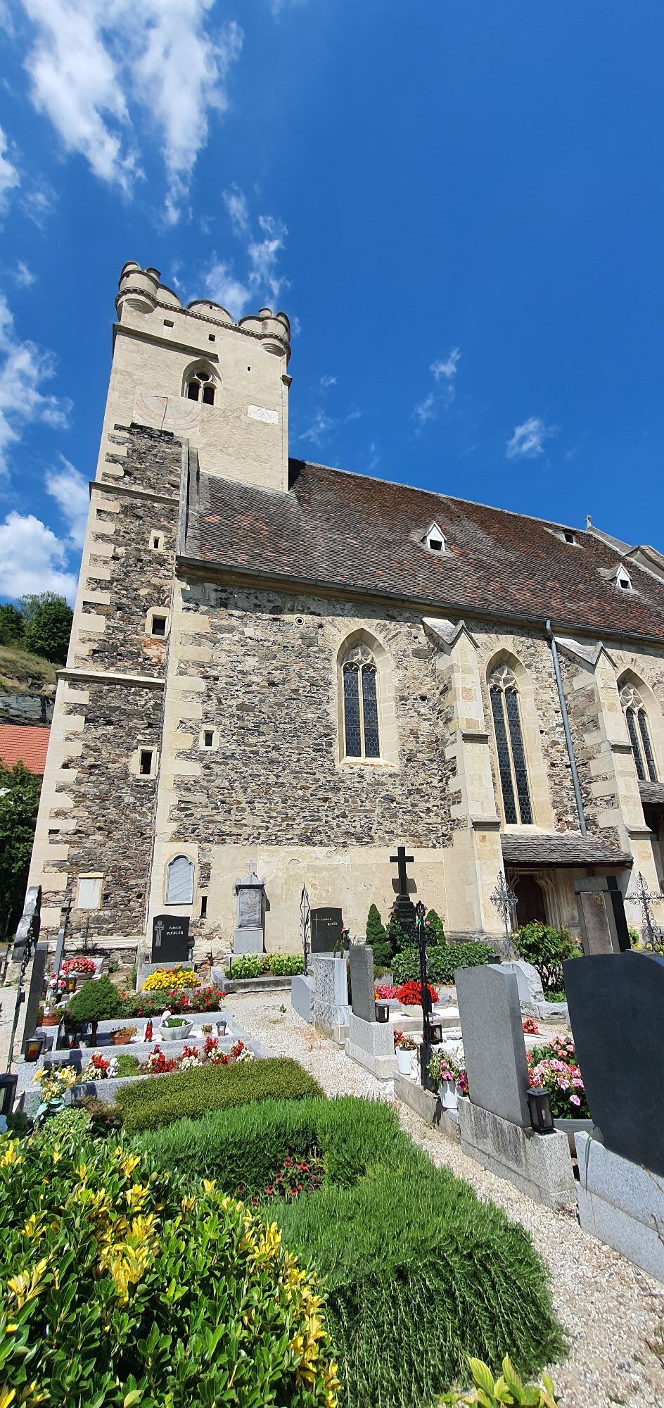
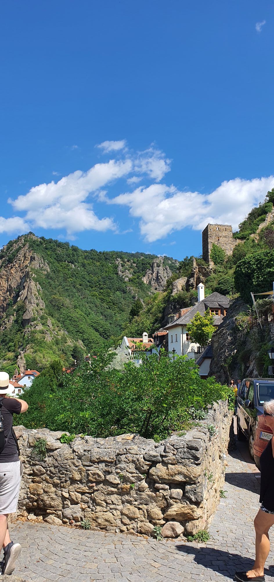
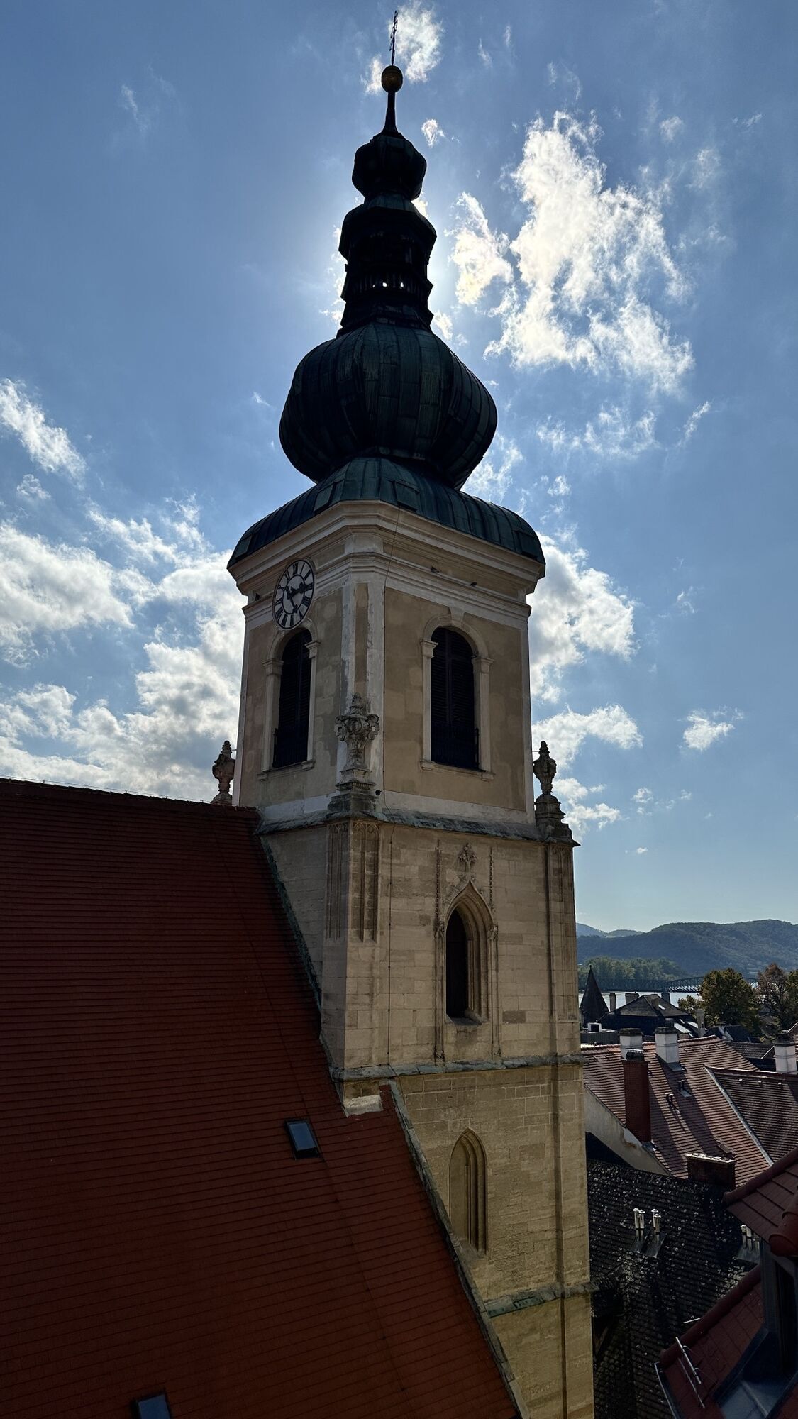
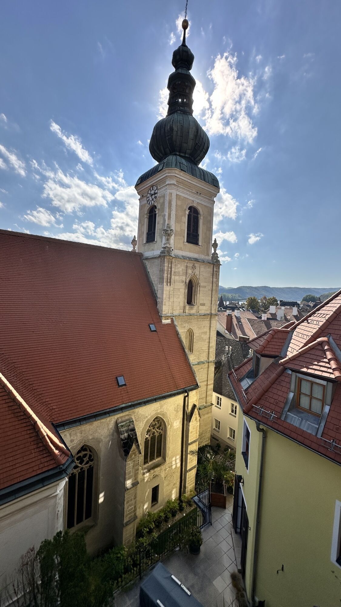
</p><p>From the ancient <strong>Aggsbach</strong>, you have an excellent view of the <strong>Aggstein Castle ruin</strong> on the opposite bank, where according to legend, terrible robbers were once brought to justice. The place <strong>Willendorf</strong> is famous for an archaeological find: the "Venus." The small female figurine (now in the Natural History Museum Vienna) reminds us that the area has been settled for 50,000 years.</p><p>In <strong>Schwallenbach</strong>, some historic buildings keep the Middle Ages alive, and shortly before <strong>Spitz</strong>, you will see a bizarre rock formation: the <strong>Devil's Wall</strong>. According to legend, the devil once tried to dam the Danube with it. In Spitz, old <strong>miners' houses</strong> and manor houses from the 16th century, the late-Gothic <strong>parish church</strong>, the <strong>Hinterhaus ruin</strong>, and the <strong>Shipping Museum</strong> invite you to a cultural rest.</p><p>On the ridge of the mighty fortified church of St. Michael (community of <strong>Weißenkirchen</strong>), hares "run"—legend says a snowy winter once drove them there. The main attraction in the wine tavern village of <strong>Wösendorf</strong> is the late Baroque parish church with altar paintings by the so-called "Kremser Schmidt" (Martin Johann Schmidt, 1718-1801).</p><p>The location on the river, the delightful vineyards, forest slopes, and rock formations around have made <strong>Dürnstein</strong> one of Austria's most popular travel destinations. The blue tower of <strong>Dürnstein Abbey</strong> is visible from far away, and in the spacious, scenic <strong>castle ruin</strong>, King Richard the Lionheart was once held captive. Soon after passing through the wine village of <strong>Unterloiben</strong>, you reach <strong>Krems</strong>, the destination of this stage.</p>

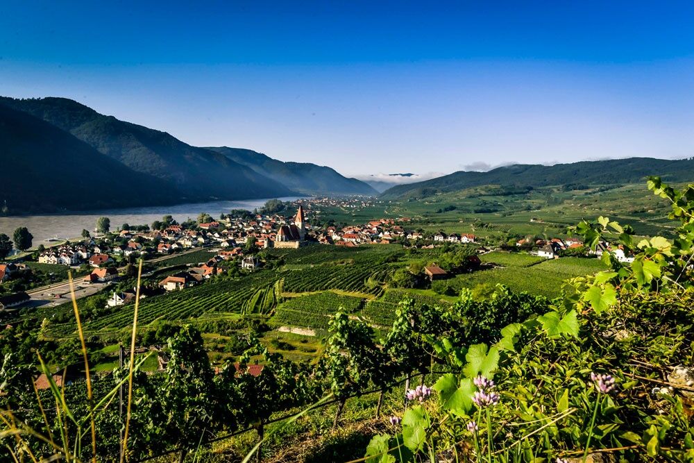
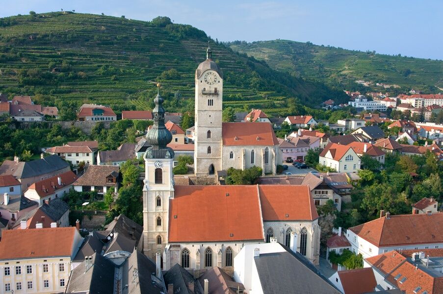
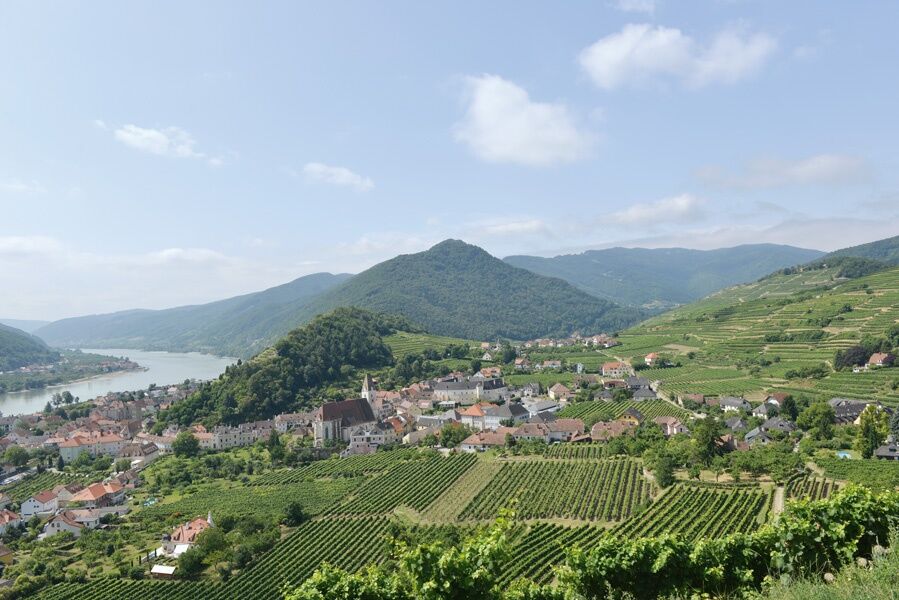
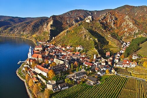

<p>Emmersdorf on the Danube - Aggsbach - Spitz - Weißenkirchen in the Wachau - Dürnstein - Krems on the Danube
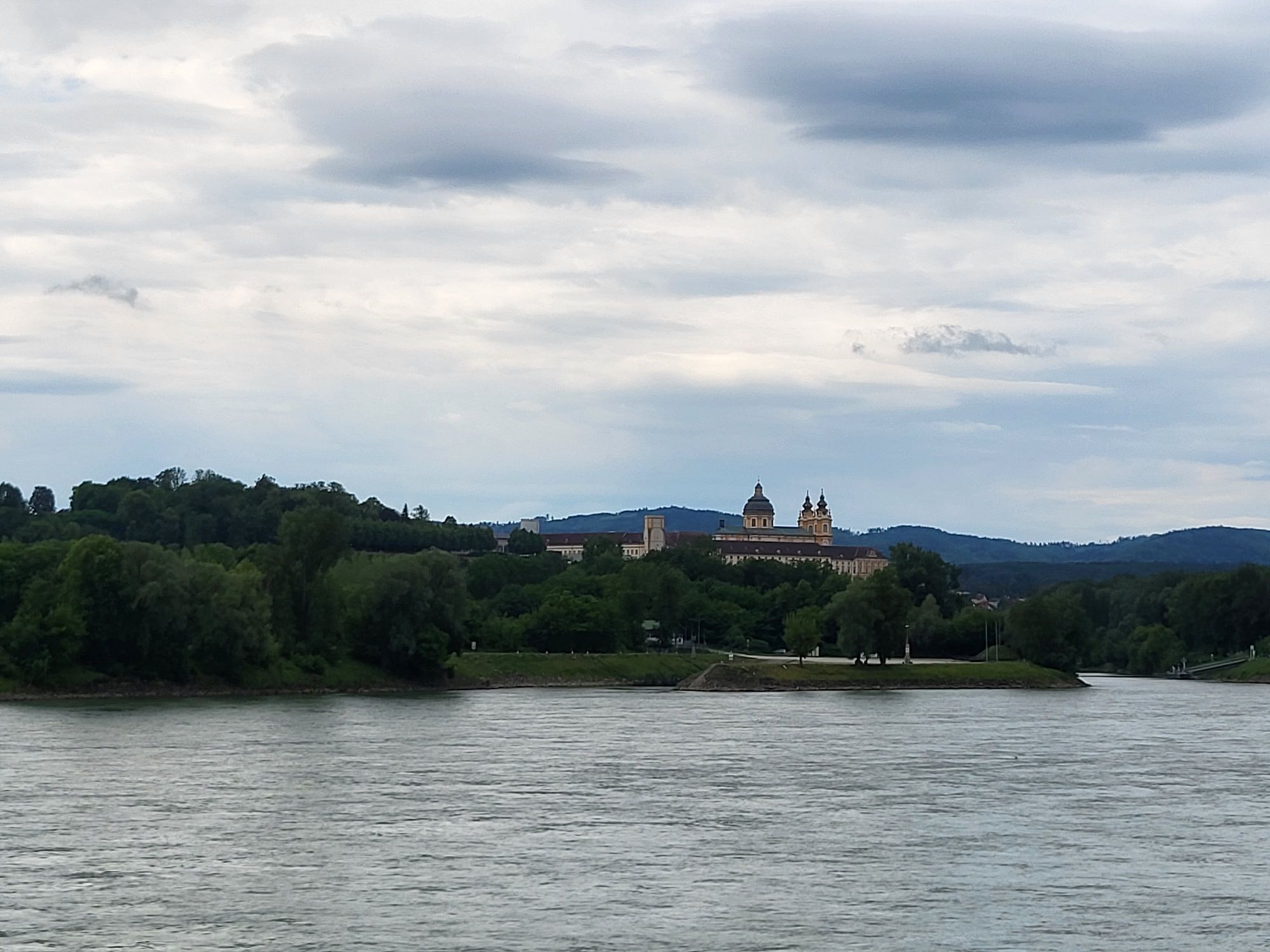
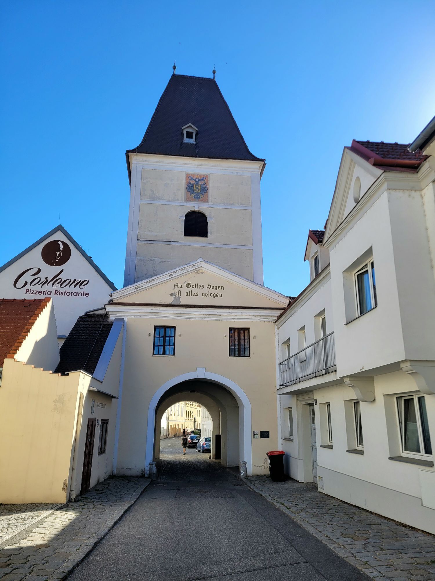
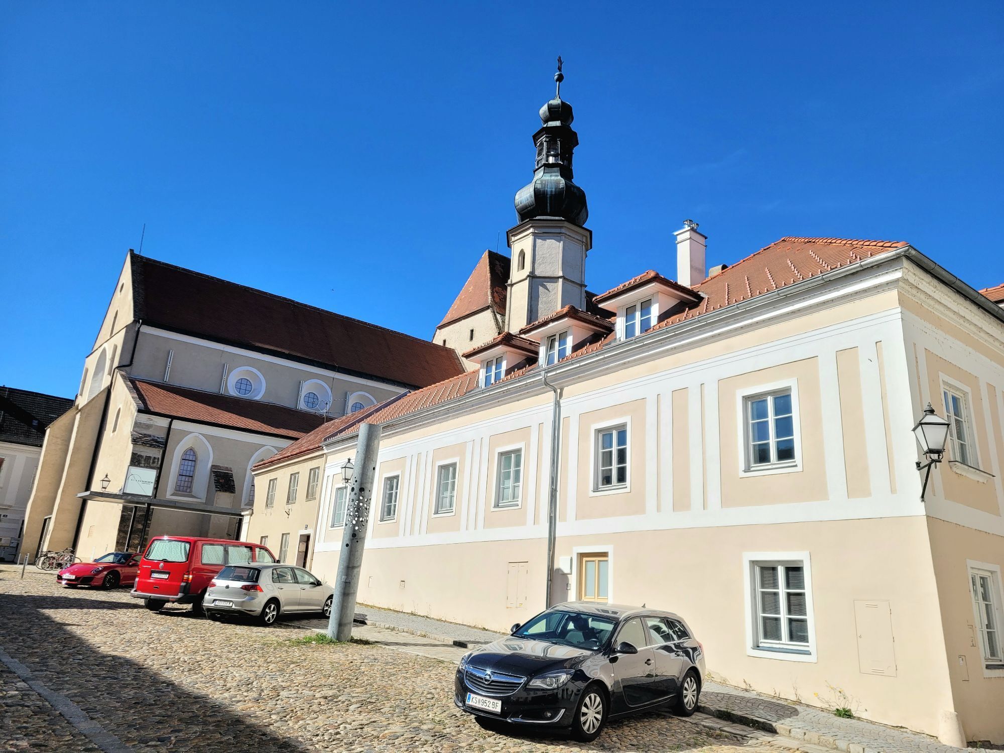
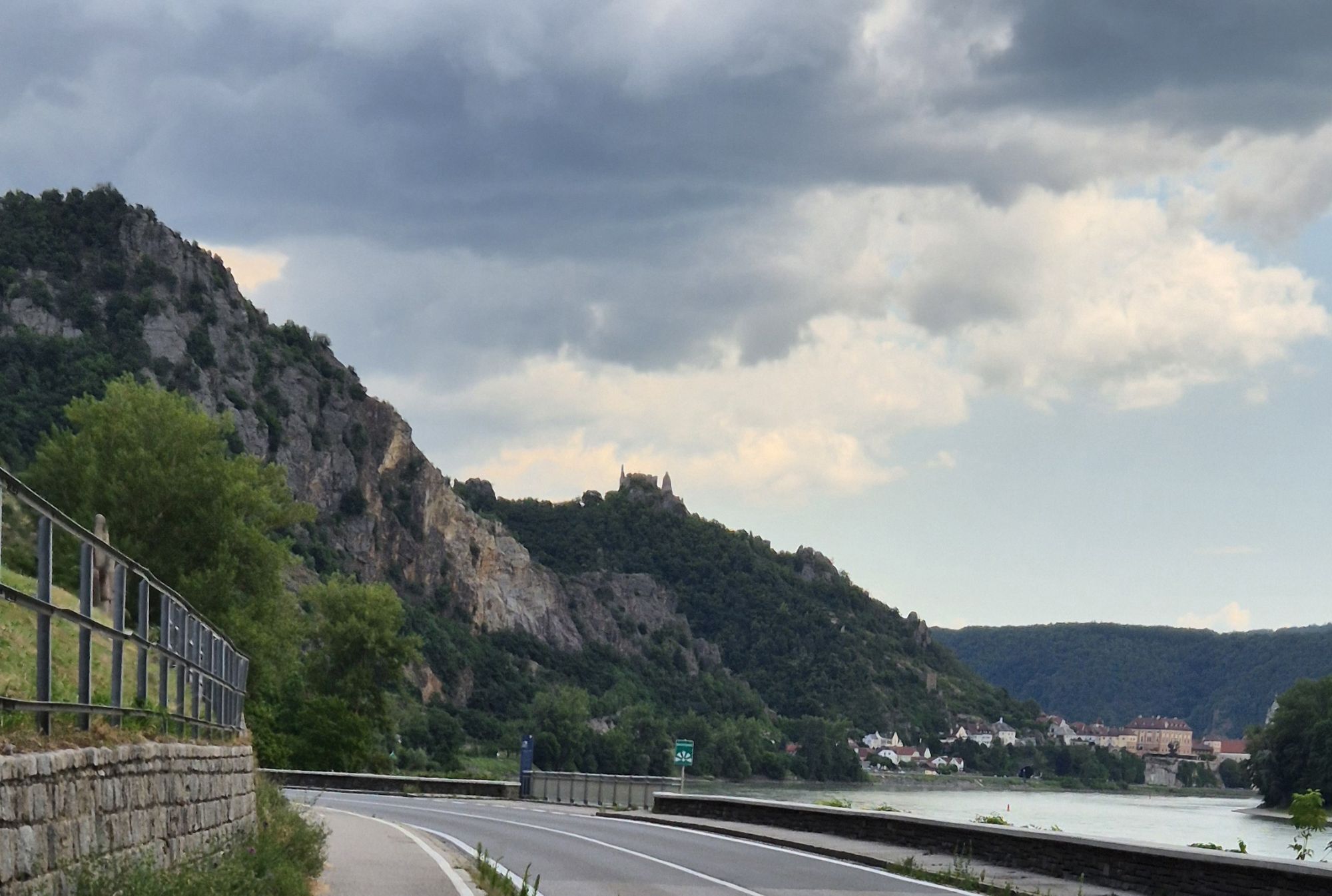
</p><p><strong>Route description:</strong></p><p>You start your route in Emmersdorf on the Danube. As the name "the gateway to the Wachau" already suggests, the namesake cultural landscape begins here. You travel along the northern bank of the Danube. For the majority of the distance, you stay on the B3, only occasionally leaving the main road.</p><p>Passing small villages and steep hills, you make your way to Aggsbach Markt. Castle enthusiasts will be delighted by this stop because from here, you have a fantastic view of the Aggstein castle ruins on the opposite southern bank, whose origins date back to the 12th century. Near Willendorf in the Wachau, you leave the B3 and continue on the L7140 until shortly past Schwallenbach. After that, you cycle on the Danube federal road through the beautiful Wachau landscape.</p><p>Shortly after Spitz, you repeatedly leave the B3 and cycle through Wösendorf and Weißenkirchen. Then you finally reach the epitome of scenic beauty in this part of the Danube region, the small town of Dürnstein. Here, you see the landscape features of the Wachau: lush green hills with steep slopes lined with countless vineyards. Combined with the Danube and the right light, it's a sight made for landscape painting. Culture lovers will also not be disappointed here, as you can explore the Dürnstein ruins and the Dürnstein Abbey, established since 1372, which is a city landmark with its blue-white coloring.</p><p>After Dürnstein, you move away from the Danube briefly, crossing some fields. Shortly after Unterloiben, you return to the B3 and thus again follow the Danube. A few kilometers later, you arrive in Krems on the Danube.</p><p>Here, there is a wealth of sights. Still on the edge of the Wachau, you can admire the characteristic landscape and explore the city. The old town of Krems alone impresses because it belongs to the UNESCO World Heritage Wachau cultural landscape. Particularly noteworthy is the city's symbol, the Steiner Gate. Additionally, there are countless churches, gates, houses, and museums to discover—a real cultural city. Wine connoisseurs will also feel at home here since numerous wineries make viticulture not just economically important but also an essential part of the city. A truly worthwhile destination and a successful conclusion to this beautiful and enjoyable bike ride.</p>
<p>On the B3 to Emmersdorf on the Danube</p>
<p>Emmersdorf can be reached by several bus connections.</p>
<p>Hotel Donauhof in Emmersdorf</p>
Verantwortlicher für den Inhalt dieser Tour
Donau Niederösterreich Tourismus GmbH
Letzte Aktualisierung: 05.11.2025
Kamery internetowe z trasy



Popularne wycieczki w okolicy
-
4,4
Welterbesteig Wachau 02: Dürnstein-Weißenkirchen
światłodługodystansowy szlak pieszy 15,9 km -
4,4
Welterbesteig Wachau 03: Weißenkirchen-Spitz
światłodługodystansowy szlak pieszy 10,4 km -
4,7
Welterbesteig Wachau 01: Krems-Dürnstein
światłodługodystansowy szlak pieszy 12,3 km -
4,8
Vogelbergsteig -Kanzel- Fesselhütte - Ruine Dürnstein zum Heurigen in Furth
średniWędrówka 7,59 km -
4,7
Wachau: Seekopf - Hirschwand
średniWędrówka 10,4 km -
4,7
Rundhöhenwanderweg Weißenkirchen in der Wachau - Schildhütten - Cholerakreuz - Weißenkirchen
światłoWędrówka 8,70 km -
4,6
Krems (Welterbesteig) - Dürnstein - Vogelbergsteig - Kanzel - Fesslhütte - Krems
średniWędrówka 18,0 km -
4,6
AGGSTEIN Ruine, Aggstein, Druidentürme und zurück 20241019
średniWędrówka 7,50 km -
4,6
Maria Langegg - Rote Wand - Hoher Stein - Kastlkreuz
średniWędrówka 11,4 km -
4,5
Panoramaweg Weissenkirchen
światłoWędrówka 5,04 km
Wędrówki i tropienie


Nie przegap ofert i inspiracji na następne wakacje
Twój adres e-mail została dodana do listy mailingowej.





