




Balcony of the Vultures

Poziom trudności: T2
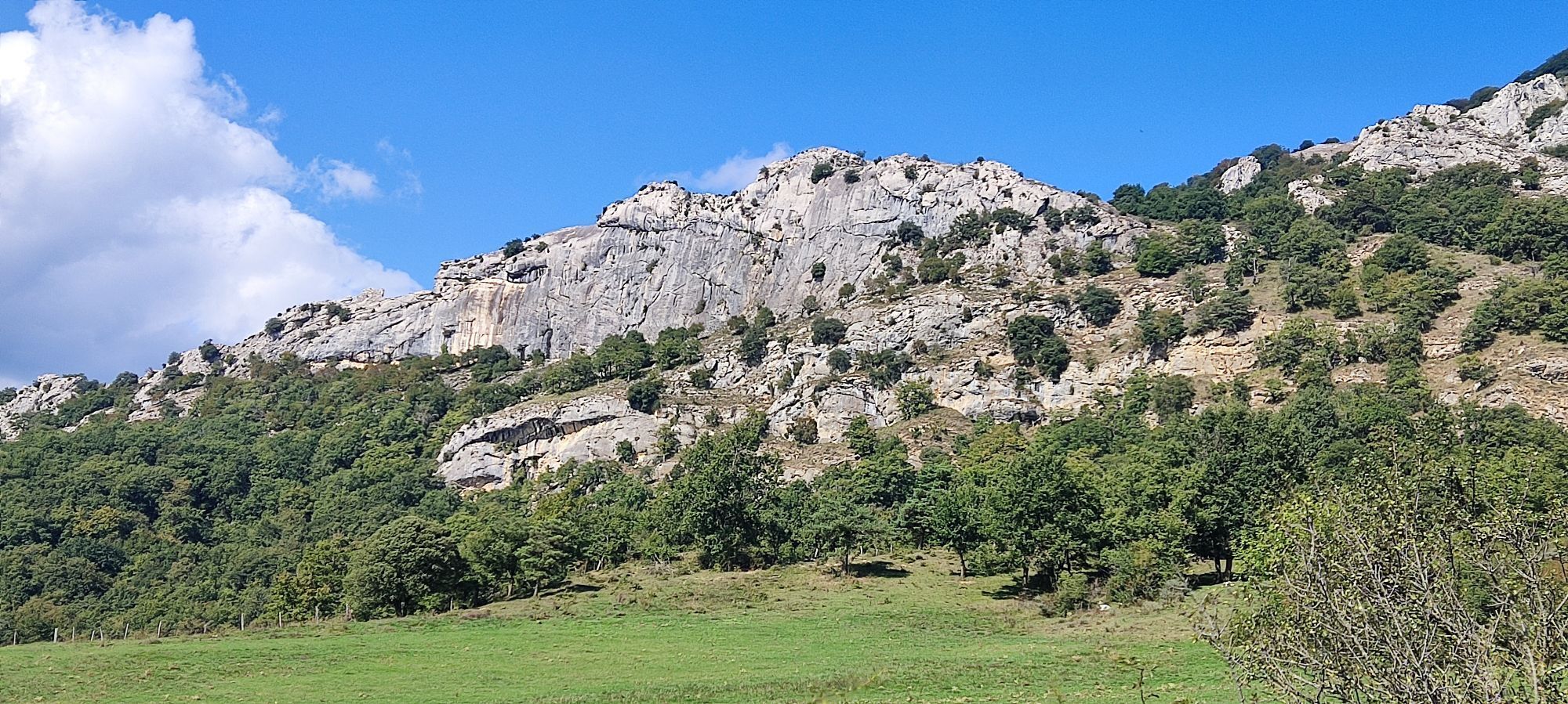
From the start panel the first 100 meters the trail runs along the Plazaola Greenway before turning left along an uphill paved track that leads to a water reservoir, and after passing an iron gate the...
From the start panel the first 100 meters the trail runs along the Plazaola Greenway before turning left along an uphill paved track that leads to a water reservoir, and after passing an iron gate the path continues ascending through forest to Allegain, where a post with arrows indicates where the PR-NA Vuelta a Erga/Ergaren Bira turns off and the detour to reach the vultures' viewpoint. Returning to Allegain the trail descends through a beautiful oak forest to the feet of the Dos Hermanas, in the Orazulo Area, from where it passes through the Plazaola tunnel and the Greenway to return to the starting point.

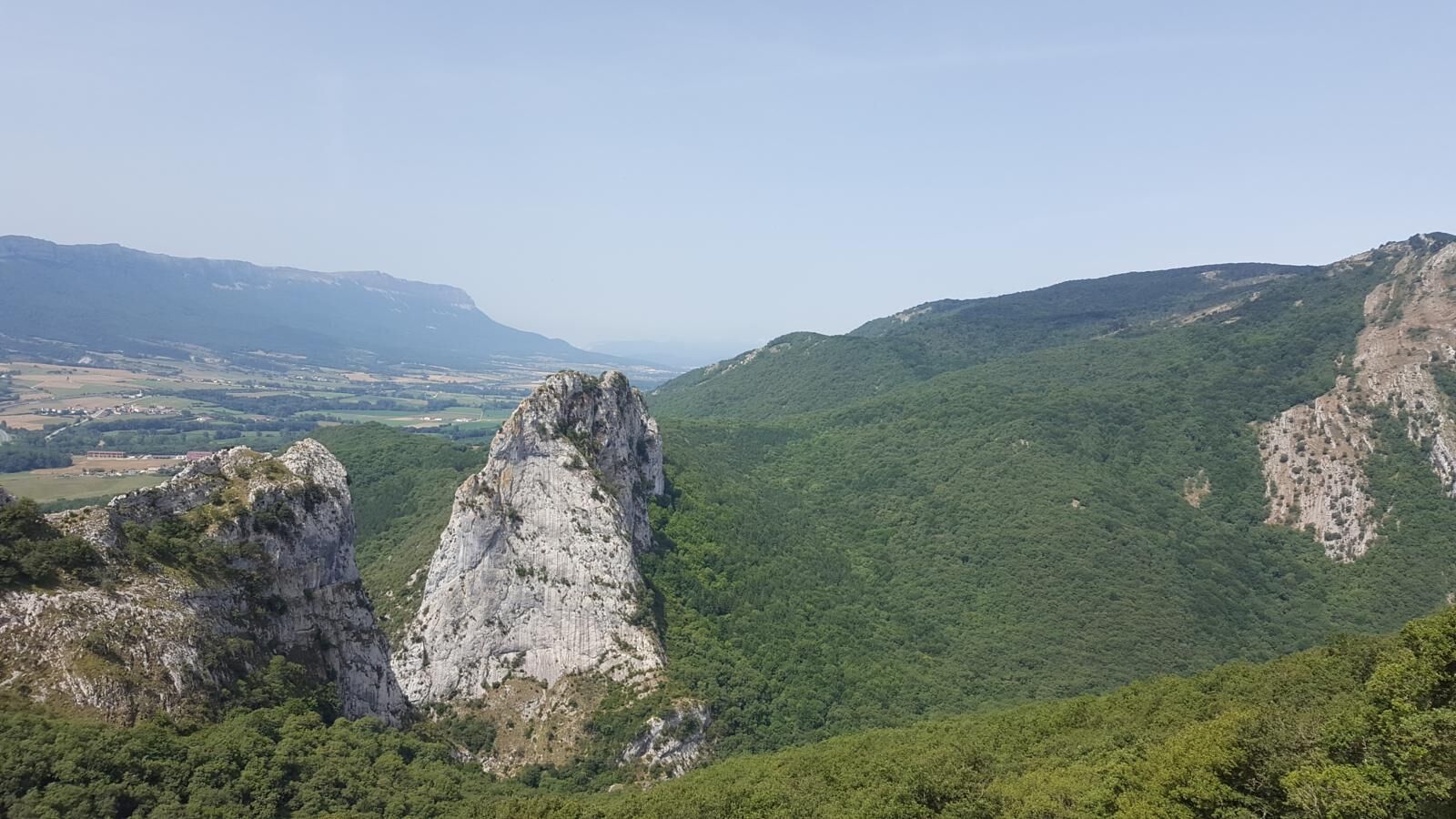
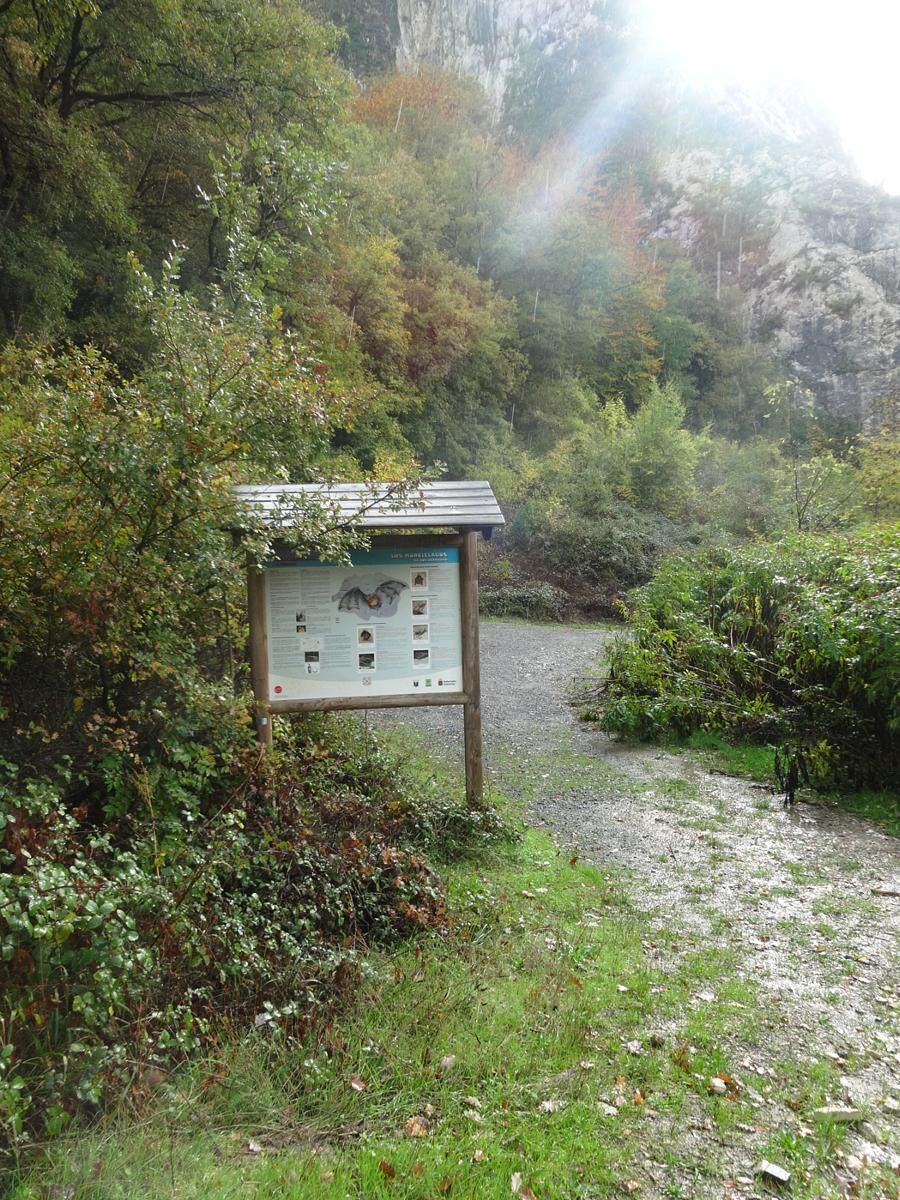
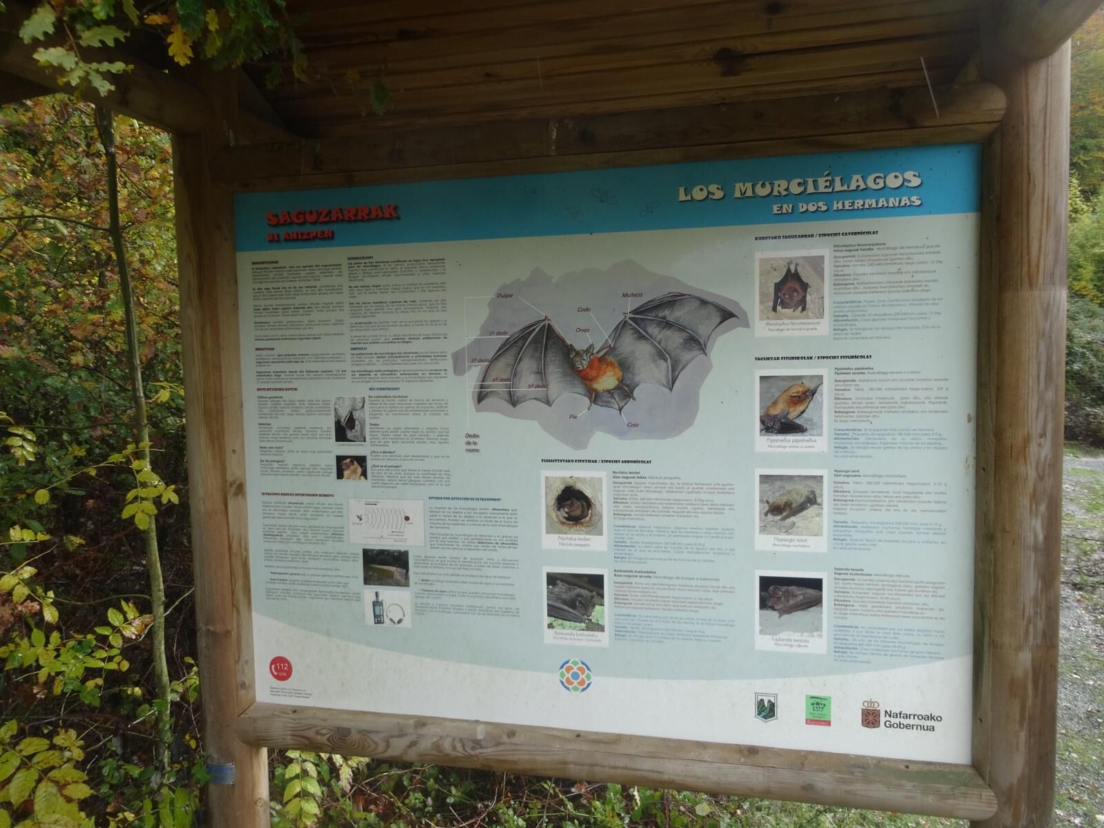

From the start panel the first 100 meters the trail runs along the Plazaola Greenway before turning left along an uphill paved track that leads to a water reservoir, and after passing an iron gate the path continues ascending through forest to Allegain, where a post with arrows indicates where the PR-NA Vuelta a Erga/Ergaren Bira turns off and the detour to reach the vultures' viewpoint. Returning to Allegain the trail descends through a beautiful oak forest to the feet of the Dos Hermanas, in the Orazulo Area, from where it passes through the Plazaola tunnel and the Greenway to return to the starting point.
Hiking shoes or boots.
Water and food.
Navigation tools.
Mobile phone.
Backpack.
Multitool or knife (recommended)
Clothing suitable for the weather.
First aid kit.
The segment from the Allegain post to the viewpoint is risky in case of snow. The trail passes through the Plazaola tunnel (NA-1300 road). Area regulated by traffic light group: follow the indications.
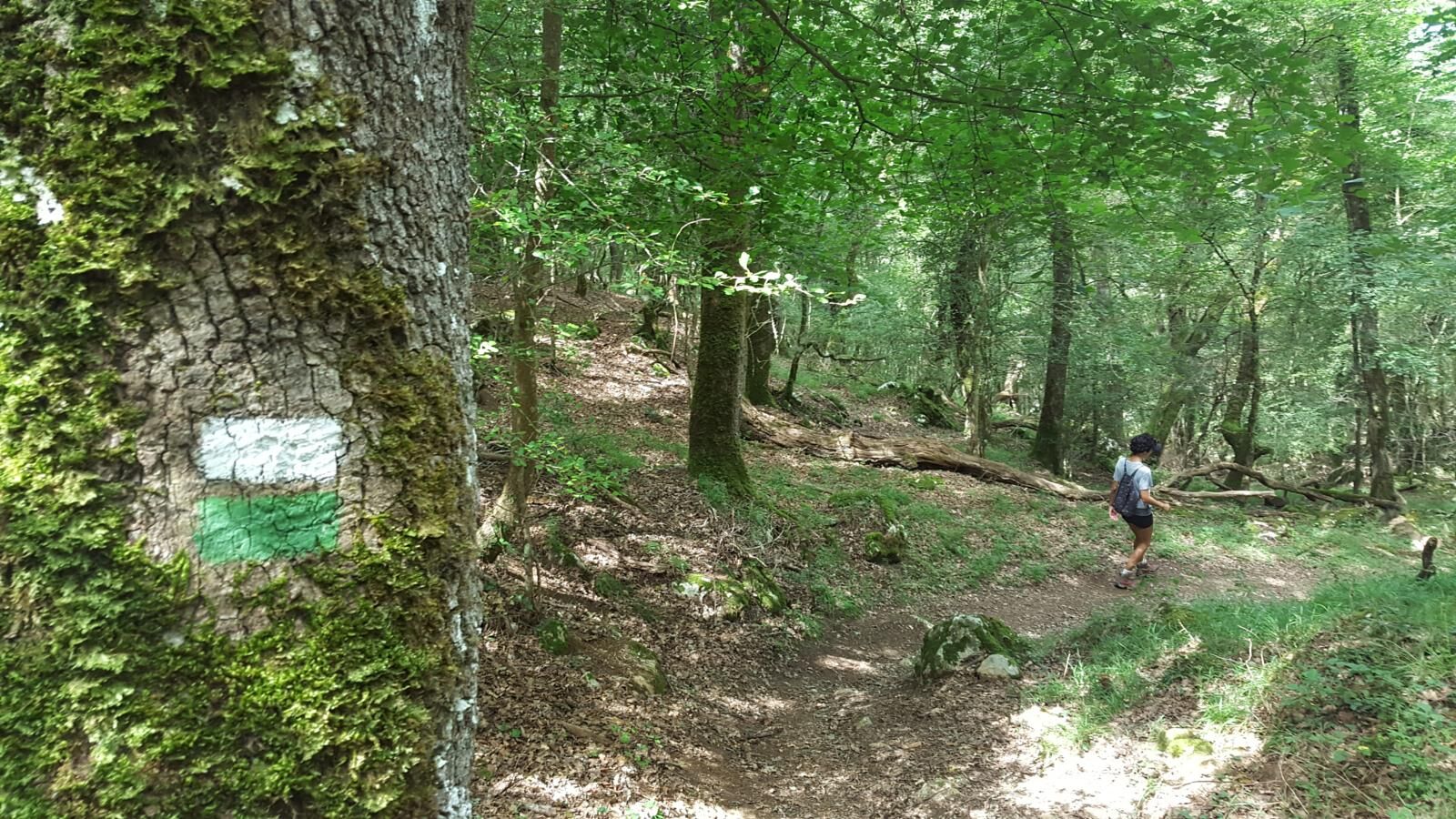
Certified local trail, well signposted with directional posts and white and green markers. Information panels at the start and at Orazulo, as well as several thematic panels along the route. It coincides with the PR-NA 210 Ergaren Bira/Vuelta a Erga (marked in white and yellow) from the trail start to the ascent to Allegain and on the return from Orazulo via the Greenway to Pikuxar. Trail information panels at the start and at Orazulo, plus several thematic panels along the route.
T2
In the Plazaola and Sakana area there is a network of signposted trails. More information: https://plazaola.eus/senderismo and www.sakana.eus/recorridos
In the Plazaola and Sakana area there is a network of signposted trails. More information: https://plazaola.eus/senderismo and www.sakana.eus/recorridos
Popularne wycieczki w okolicy
-
Navarra - Three branches. Mugiro-Lekunberri
średniWędrówka 8,87 km -
Góra Beriain i Lizarraga - Camping Arbizu Trasa 9
ciężkiMountainbike 44,0 km -
Dolina Ollo i San Miguel de Aralar - Kemping Aralar Trasa 3
ciężkiDroga rowerowa 112,9 km -
Wokół Etxauri - Kemping Aritzaleku Trasa 3
ciężkiDroga rowerowa 103,0 km -
Navarra - Monumental Oaks. Jauntsarats
światłoWędrówka 1,85 km -
Wycieczka po Sierra de Andía - Kemping Arbizu Trasa 3
ciężkiDroga rowerowa 104,0 km -
Belate i Orokieta - Kemping Aritzigain Trasa 2
ciężkiDroga rowerowa 95,4 km -
Plazaola Greenway
światłoJazda na rowerze 42,9 km -
Larraun MTB Tour - Camping Aralar Route 7
światłoMountainbike 26,5 km -
Santesteban - Elgorriaga - Ituren- Zubieta. Water route
światłoJazda na rowerze 13,8 km
Wędrówki i tropienie


Nie przegap ofert i inspiracji na następne wakacje
Twój adres e-mail została dodana do listy mailingowej.





