





Foz de Burgui

Poziom trudności: T3
The main interest of the route is scenic and ornithological since, passing through the riparian forest of the Esca river, the route enters the limestone rock gorge known as the Foz de Burgui, an extraordinary...
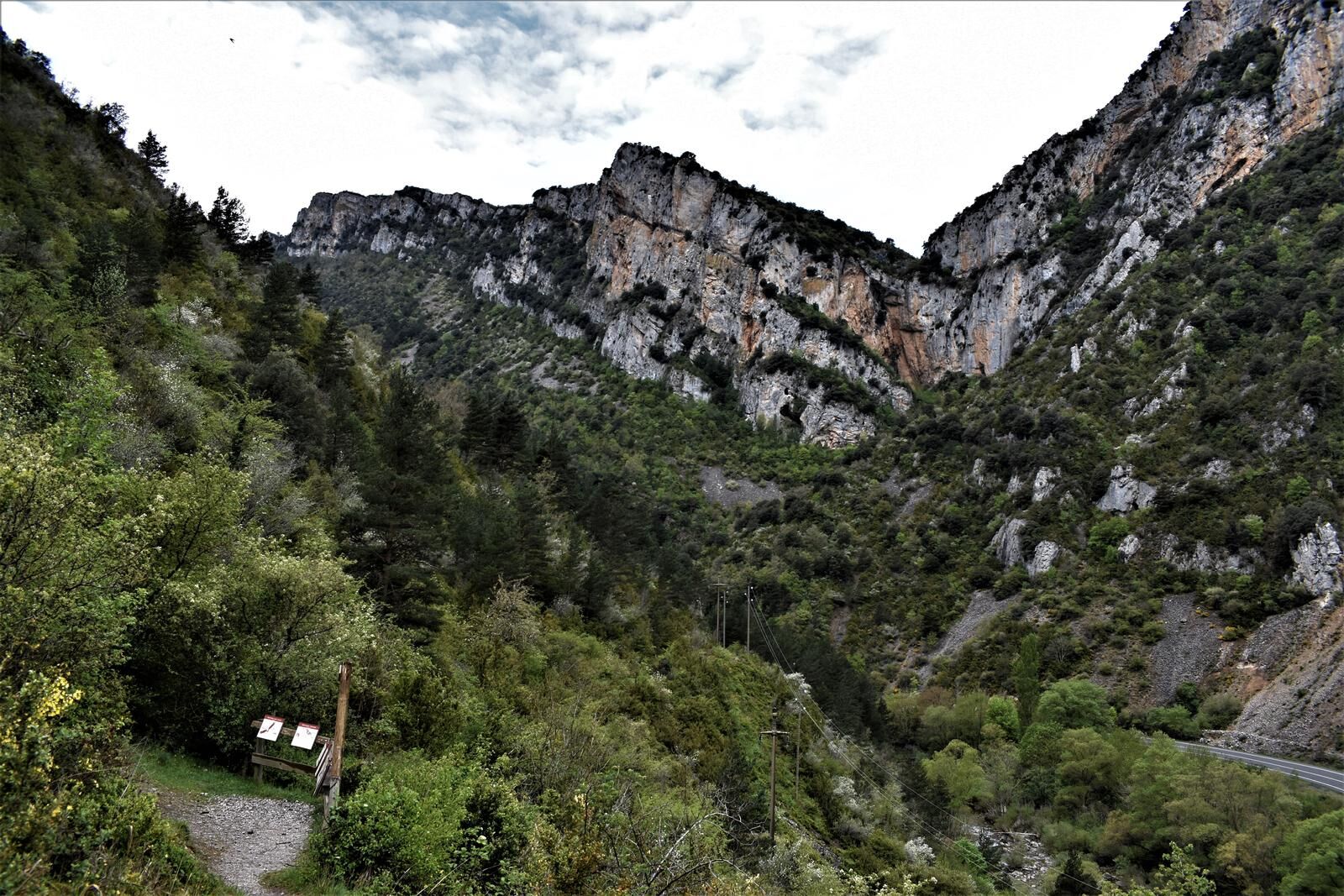
The main interest of the route is scenic and ornithological since, passing through the riparian forest of the Esca river, the route enters the limestone rock gorge known as the Foz de Burgui, an extraordinary place for birdwatching of birds of prey and cliff-dwelling birds. On this walk, you can also learn about old traditional work practices characteristic of these towns and valleys of the Pyrenees. All have their corresponding explanatory and illustrative panels.

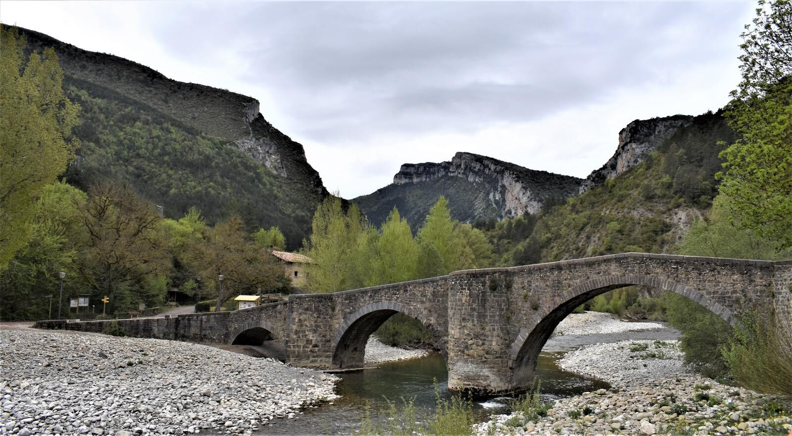
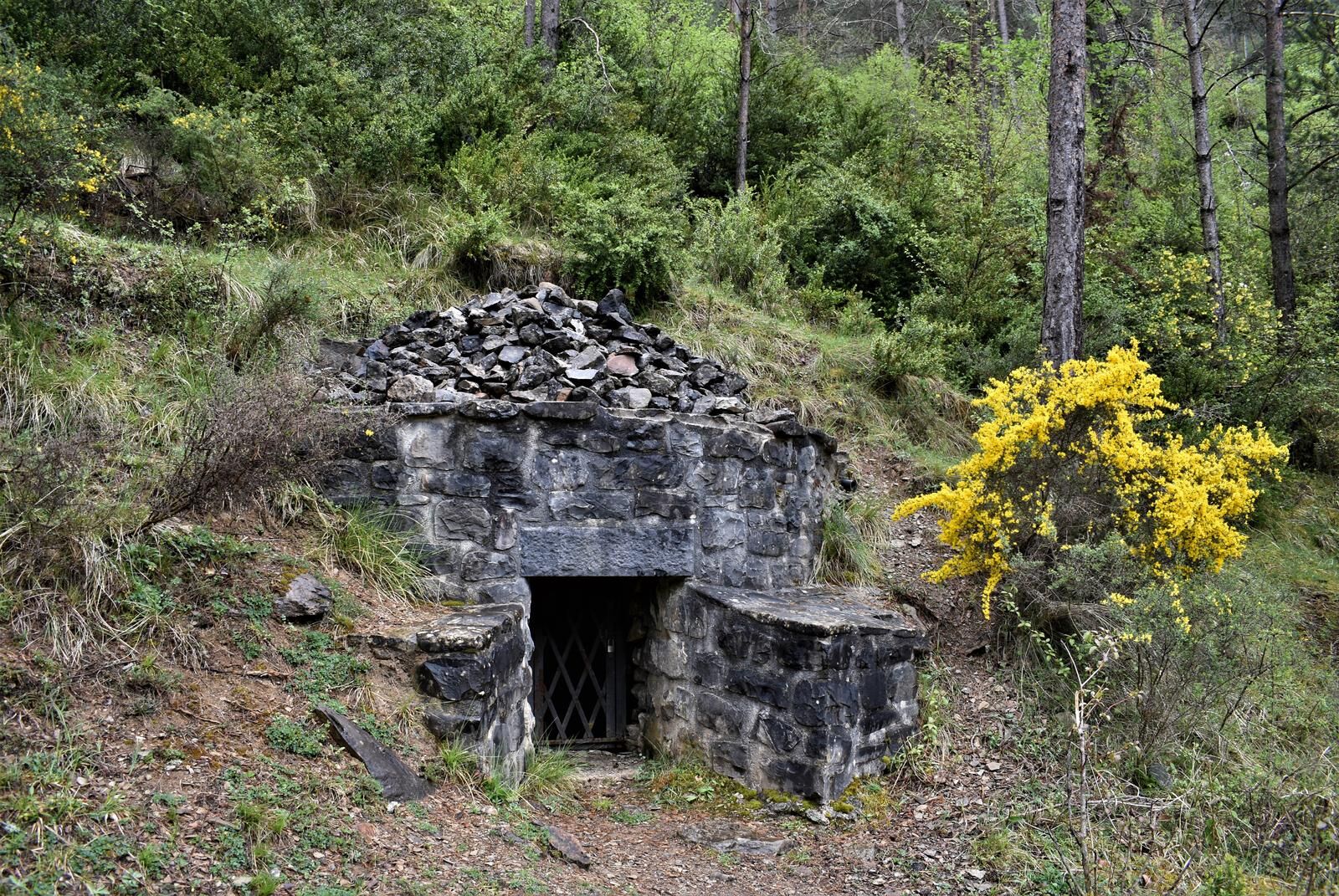
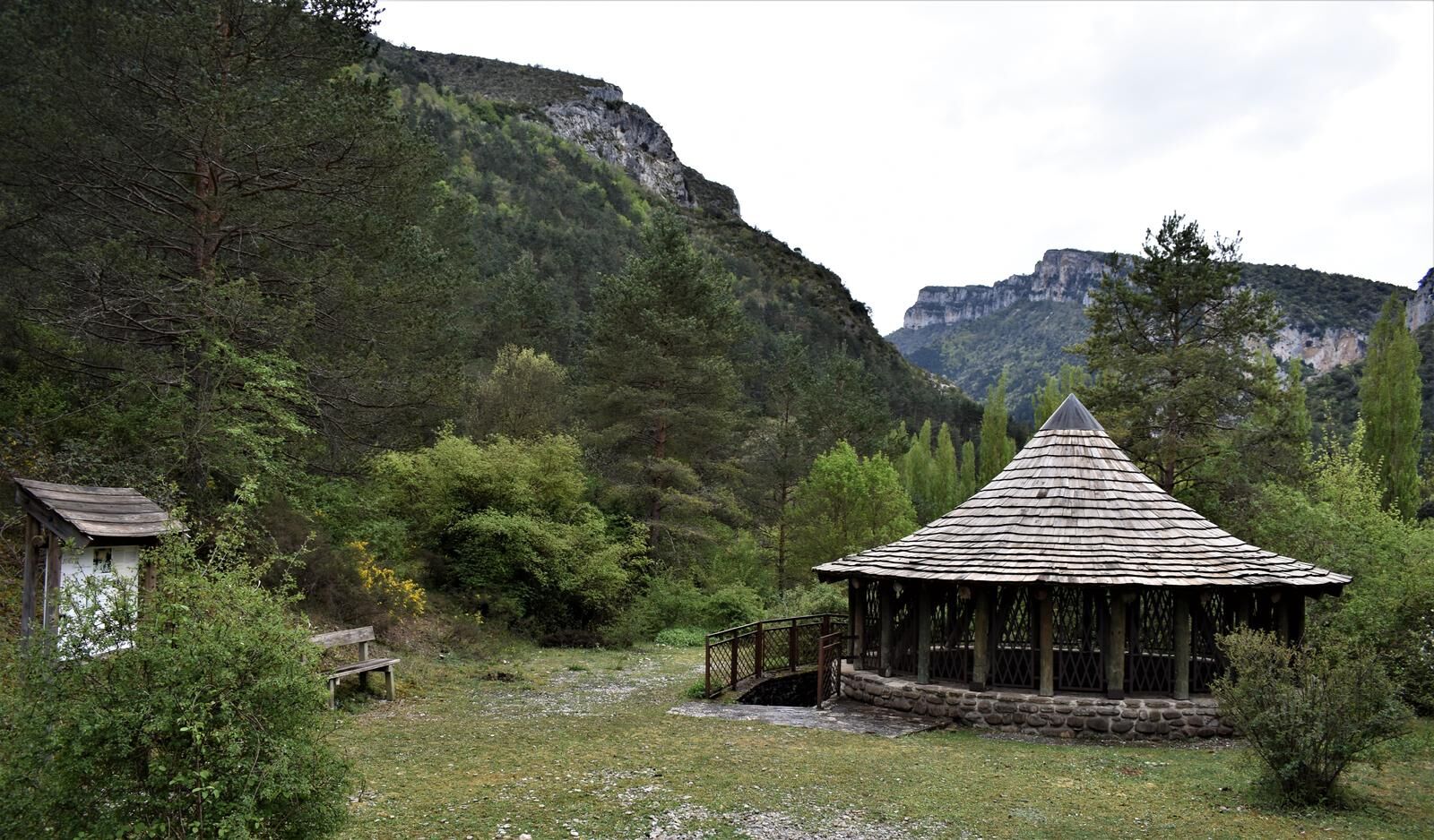

Start and information panel next to the medieval bridge of Burgui and practically beside it, a representation of a raft, from where a track leads to a fork with a directional post where you turn right and find the representative equipment of the ice house (to the left, very close to the path) and a little further ahead the oven and the charcoal kiln, all with their corresponding informative and illustrative panels.
The path narrows and becomes a very pleasant trail that goes into a Scots pine forest and through a beautiful boxwood corridor where you will find the representation of the charcoal kiln and its explanatory panel. It continues ascending with good views over the Esca river, approaching the rocks of the gorge and ending at the Bird Viewpoint with excellent views of the gorge and a good place to observe birds.
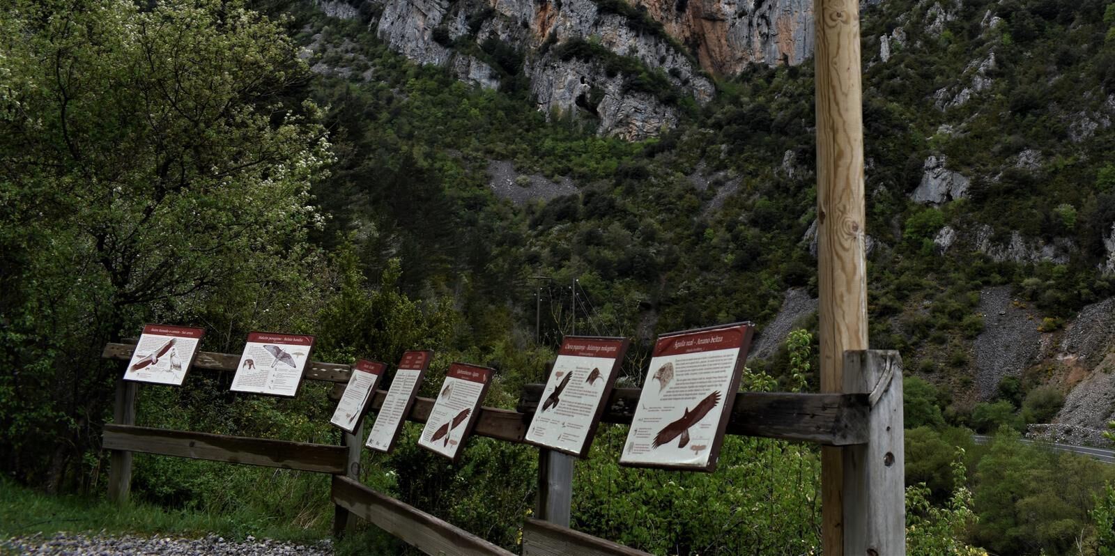
The viewpoint is equipped with a directional post indicating the return, wooden railing, and information panels about birds of prey and cliff-dwelling birds that can be observed in the gorge. The trail is also equipped with wooden railings and wire ropes as safety handrails in sections where it crosses streams or areas with significant drop to the river.
Mountain shoes or boots.
Water and food.
Navigation tools.
Mobile phone.
Backpack.
Multitool or knife (recommended)
Clothing appropriate for the weather.
First aid kit.
SIGNAGE: Local Trail certified and very well marked, with directional posts and white and green markers.
T3
The Roncal Valley has a network of marked and certified trails. More information: www.senderosvallederoncal.com
Popularne wycieczki w okolicy
-
Azanzorea Cave
średniWędrówka 2,20 km -
Hermitage of Zuberoa
średniWędrówka 5,92 km -
Otsagabia. Roncal y Salazar
średniDroga rowerowa 72,2 km -
Isaba. Route of the Bear
ciężkiDroga rowerowa 110,2 km -
Roncal. Santa Barbara and Puntatxamar
ciężkiMountainbike 30,8 km -
Leire - Collado de la Cerrada - Kastellar - El Rallar
średniWędrówka 6,86 km -
Restaurante Maiberal - Ansó - Ermita de San Cristóbal - Algaralleta
średniWędrówka 9,72 km -
Navarra - Foz de Burgui. Burgui
Wędrówka 1,16 km -
Navarra - Ermita de Zuberoa. Garde
Wędrówka 5,92 km -
Navarra - Cueva de Azanzorea. Vidangoz
Wędrówka 2,19 km
Wędrówki i tropienie


Nie przegap ofert i inspiracji na następne wakacje
Twój adres e-mail została dodana do listy mailingowej.





