


Roman Road of Artzibar
Poziom trudności: T2
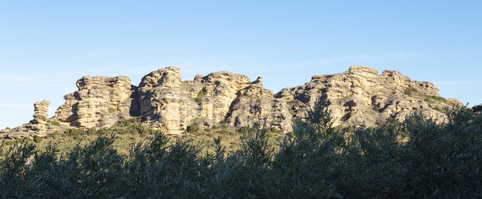
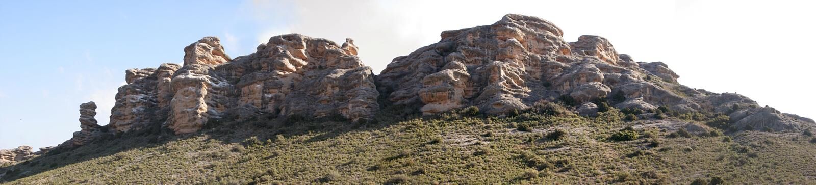
START: Saragueta (Artzibar/Arce). Plaza de San Juan. Parking, fountain and information panel. Climb up the only street to reach the main path. The trail, which coincides in several sections with the EuroVelo-3...
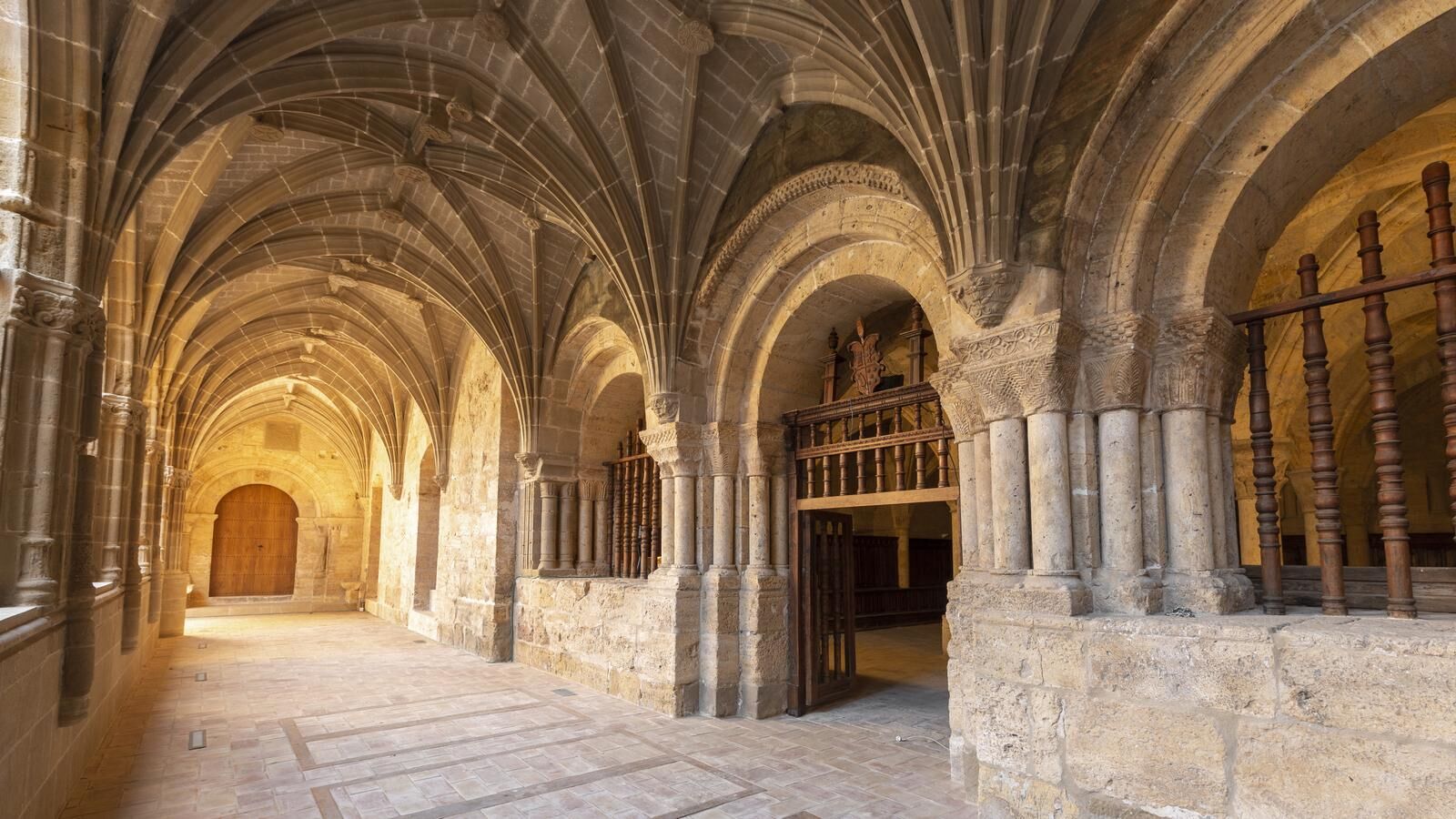
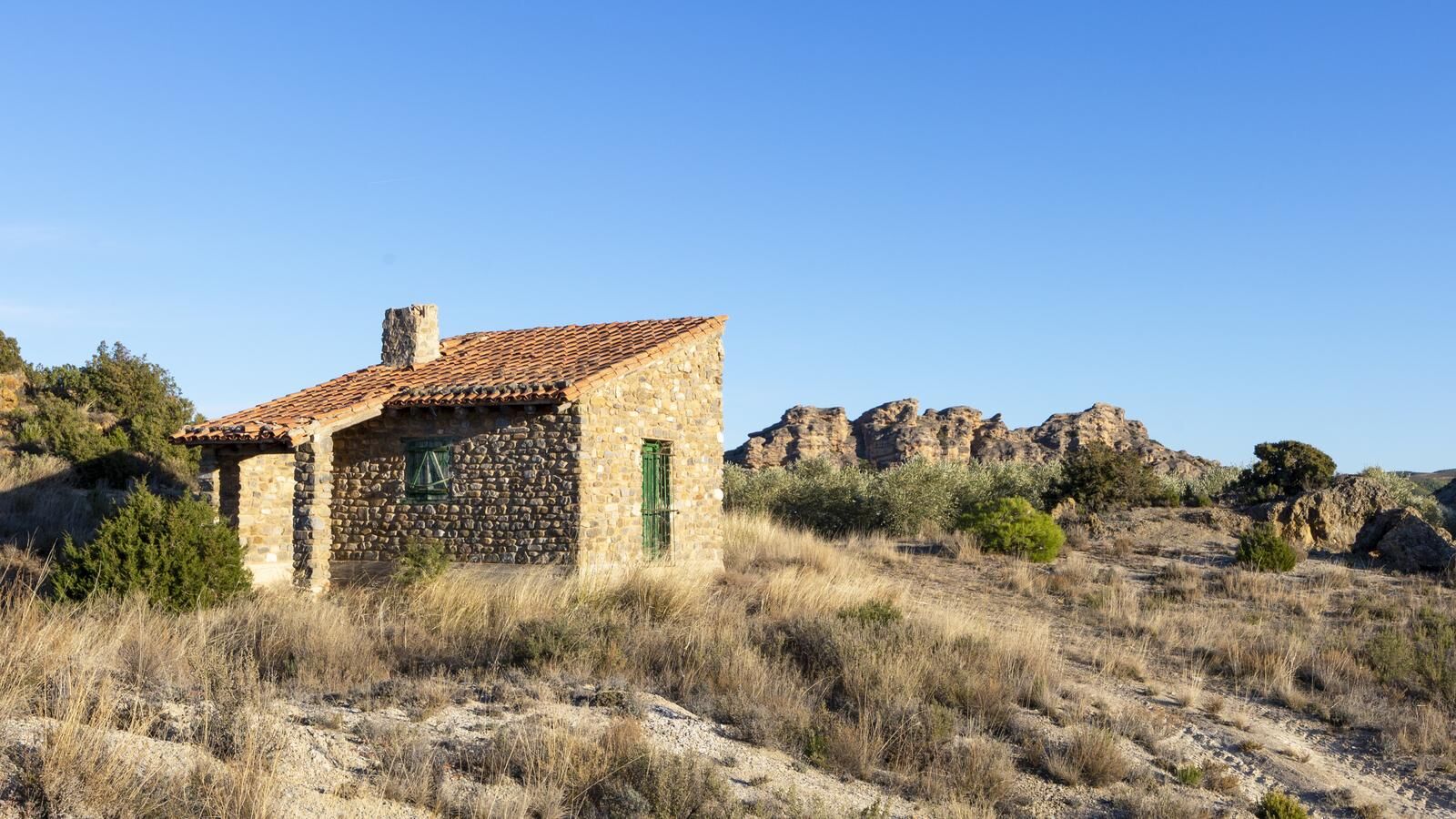
START: Saragueta (Artzibar/Arce). Plaza de San Juan. Parking, fountain and information panel. Climb up the only street to reach the main path. The trail, which coincides in several sections with the EuroVelo-3 cycle tour route, runs along a hillside with wide views. After passing a mountain pass (km 2.5), descend through Urdirotz and the Aintzierreka ravine, through wooded area, until reaching the Urrobi river and Uritz, with well-maintained tower houses. Cross the NA-1720 road at Zandueta (rest area) and then the Urrobi river. In the final section leave the remains of the Roman baths to the right and, after passing under the NA-2040 and leaving the Artze Palace to the right, you arrive at the hermitage of Sta María, the end of the route.


START: Saragueta (Artzibar/Arce). Plaza de San Juan. Parking, fountain and information panel. Climb up the only street to reach the main path. The trail, which coincides in several sections with the EuroVelo-3 cycle tour route, runs along a hillside with wide views. After passing a mountain pass (km 2.5), descend through Urdirotz and the Aintzierreka ravine, through wooded area, until reaching the Urrobi river and Uritz, with well-maintained tower houses. Cross the NA-1720 road at Zandueta (rest area) and then the Urrobi river. In the final section leave the remains of the Roman baths to the right and, after passing under the NA-2040 and leaving the Artze Palace to the right, you arrive at the hermitage of Sta María, the end of the route.
Hiking shoes or boots.
Water and food.
Navigation tools.
Mobile phone.
Backpack.
Multi-tool or knife (recommended)
Clothing suitable for the weather.
First aid kit.
WARNING: In case of rises of the Urrobi river, pay attention to the section before reaching Uritz (km 5.1). There may be wild boar hunts on the route; the authorized hunting season usually runs from August to February.
SIGNAGE: Trail marked with white and purple marks, directional posts and information panels along the entire 28 km route. In several sections it coincides with the EuroVelo 3 (posts and directional arrows).
T2
The Navarre Pyrenees have a network of marked trails. More information: https://www.visitnavarra.es/es/senderos-imprescindibles-de-navarra#pirineo-navarro
Popularne wycieczki w okolicy
-
Nagore Reservoir
światłoWędrówka 6,11 km -
Artzibar Roman road
średniWędrówka 6,25 km -
Esteribar, Navarra/España
Wędrówka zimą 16,3 km -
Burguete. The Route of the Estraperlo
średniMountainbike 38,7 km -
Burguete. Maple Valley
światłoDroga rowerowa 41,7 km -
Pamplona / Iruña - San Esteban - San Nikolas eliza - Sarriguren
średniDroga rowerowa 73,6 km -
Larraingo lepoa - Adi - Mendiaundi - Baratzea
ciężkiWędrówka 20,2 km -
Larraingo lepoa - Adi - Tiratun - Juan
średniWędrówka 13,0 km -
Larraingo lepoa - Muñozko Harria - Lartzeko Bizkar - Hostal Quinto Real
średniWędrówka 13,8 km -
Larraingo lepoa - Adi - Mendiaundi - Casa Sabina
ciężkiWędrówka 18,6 km
Wędrówki i tropienie


Nie przegap ofert i inspiracji na następne wakacje
Twój adres e-mail została dodana do listy mailingowej.