


Sangüesa. History of a Kingdom
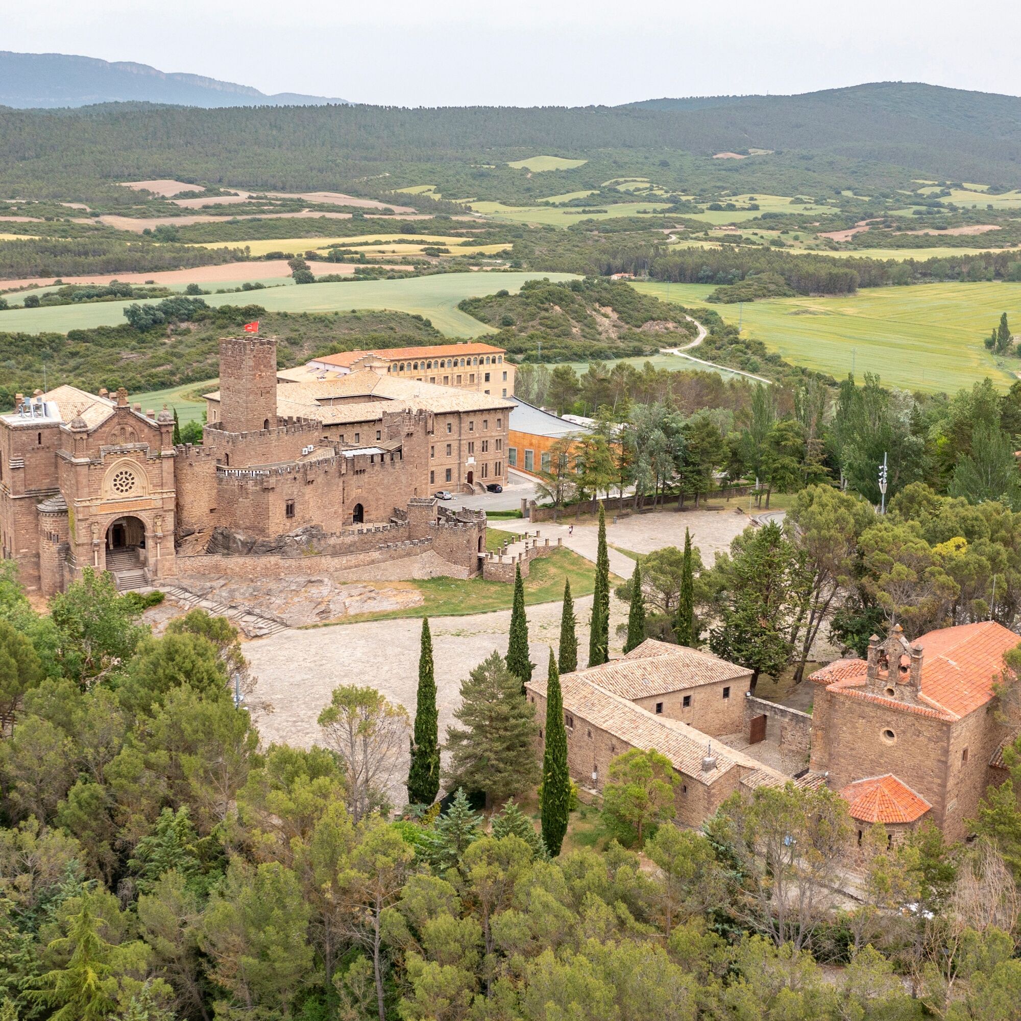
On the route we will pass by one of the banks of the Yesa reservoir, also called the sea of the Pyrenees. From here begins the ascent to the monastery of Leyre, short, just 3 km, but intense, at 8% elevation...
On the route we will pass by one of the banks of the Yesa reservoir, also called the sea of the Pyrenees. From here begins the ascent to the monastery of Leyre, short, just 3 km, but intense, at 8% elevation gain, which offers us as a reward some spectacular views.
After a few kilometers along the old national road towards Liédena, we face the hardest part of the route; first, climbing a steep slope in the middle of the national road towards Lumbier and, once we reach the Venta de Judas, climbing the second pass of the day, the Alto de Aibar.
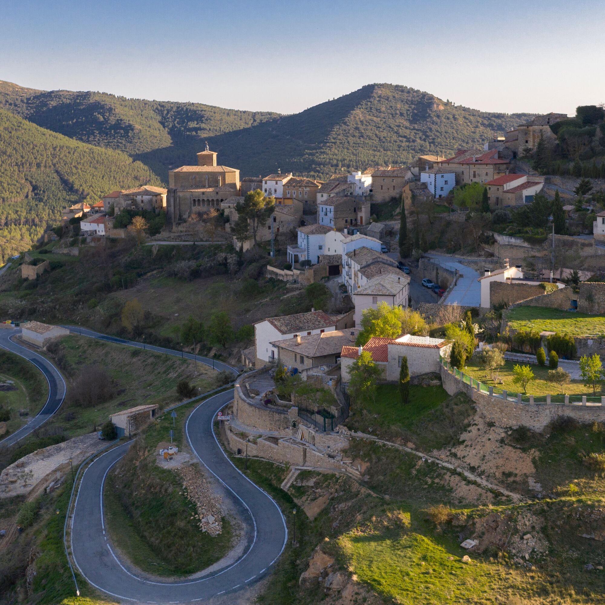
The easiest part of the route begins here, through the Aragón valley. There is the option of ascending to Gallipienzo to enjoy the spectacular views offered by this amazing watchtower village.

Popularne wycieczki w okolicy
- 5,0
Lumbier Gorge
średniWędrówka 6,01 km Navarra - Sendero de las fuentes de La Aurita y Lifuentes. Caseda
średniWędrówka 7,25 kmIrati Greenway. Lumbier
światłoJazda na rowerze 6,44 kmNavarra - Vía Verde del Irati. Lumbier
Wędrówka 6,43 kmNavarra - Paseo del Papa-Peña del Adiós. Javier
Wędrówka 11,7 kmLumbier - Trinidad - Cresta de la Trinidad - La Costera
średniWędrówka 9,31 kmSos del Rey Católico
średniWędrówka 10,2 kmAlto de Iso - Peña Cornota - Balcon de la foz / Arroilaren balkoia
światłoWędrówka 4,63 kmLumbier - La Pesquera - Ermita de la Trinidad - Trinidad
średniWędrówka 8,92 kmUsún - Paco Babil - Los Bubilares - Arangoiti
ciężkiWędrówka 15,4 km
Wędrówki i tropienie


Nie przegap ofert i inspiracji na następne wakacje
Twój adres e-mail została dodana do listy mailingowej.