





Falces - Peralta - Funes - Marcilla. Mink territory

Poziom trudności: 1
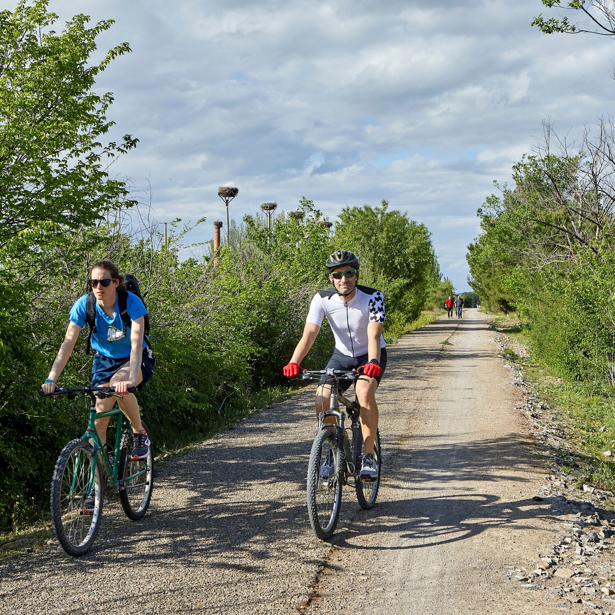
The route allows the design of both linear and circular routes, starting from any of the villages mentioned. In this proposal we opt for the Falces-Peralta route, which appears to be circular as it runs...
The route allows the design of both linear and circular routes, starting from any of the villages mentioned. In this proposal we opt for the Falces-Peralta route, which appears to be circular as it runs along different paths but along the same bank of the Arga, avoiding the right bank as a measure of preservation of the environment.
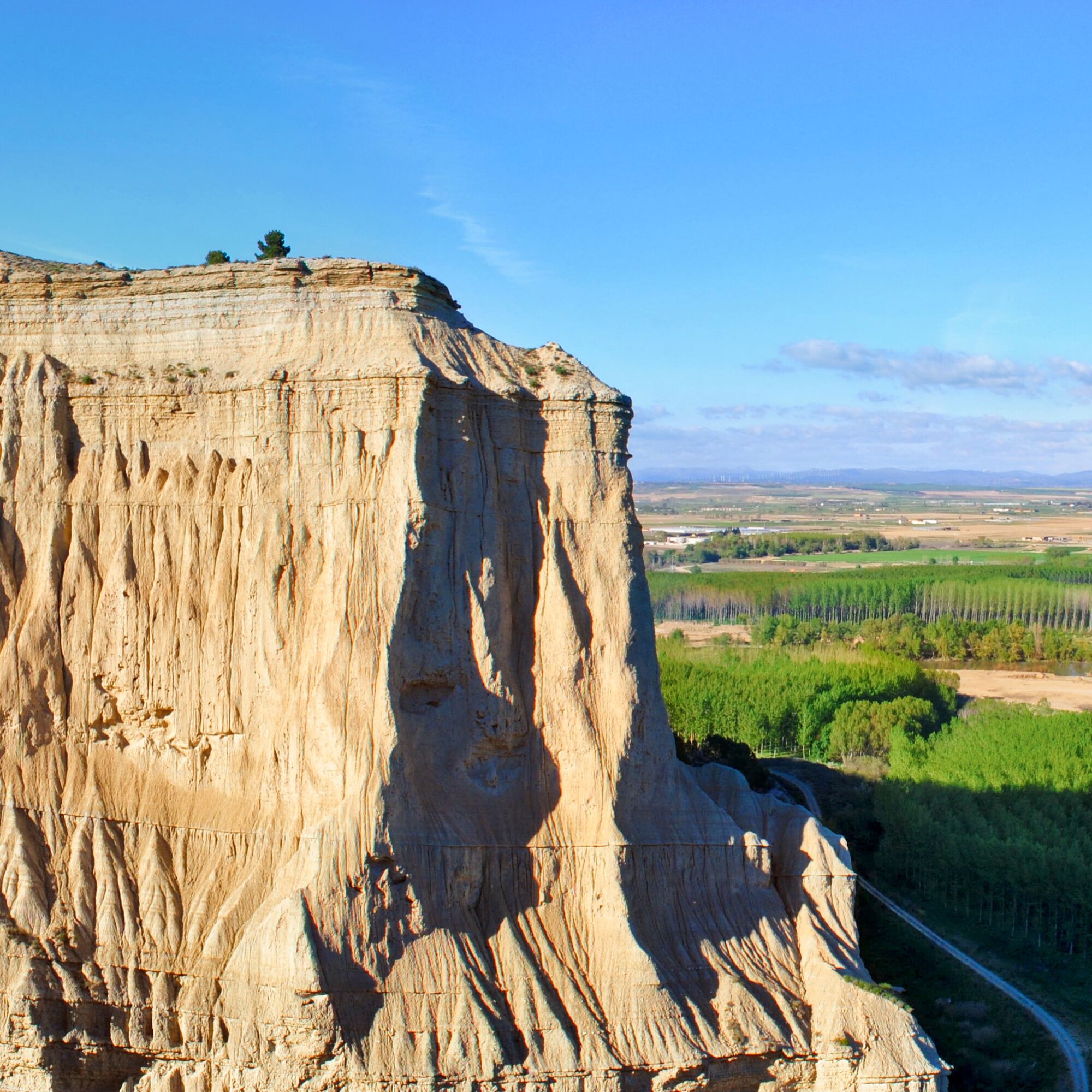
Following this left bank, and a little more than 1 km from Falces, we cross the Sotobajo wetland, a space of high ecological value where several information panels will guide us to interpret the natural wealth of the place.
In short, this is a simple route that runs along gravel roads in good condition, completely flat that invite us to discover a natural environment full of charm.


Tak
8 essential accessories for any bicycle route:
Helmet Gloves Air pump Multi-irrigation Spare inner tube Multitool Detachable Odometer Water bottle and something to eat1
Popularne wycieczki w okolicy
-
Ścieżki Peñalén - Camping Bardenas Trasa 9
średniMountainbike 45,8 km -
San Adrián - Camping Bardenas Trasa 1
światłoDroga rowerowa 59,2 km -
Peralta. Peñalén Ravine
średniMountainbike 37,2 km -
Iglesia de San Francisco - Calahorra - Ermita de San Esteban - Tudela
ciężkiJazda na rowerze 69,8 km -
Calahorra - San Adrián - Parroquia de San Adrian
średniDroga rowerowa 53,0 km -
Andosilla - Mezquita de San Adrián - Restaurante Leyre - El Ontinar
średniMountainbike 55,9 km -
Peralta / Azkoien - Virgen del Plu - Ermita de la Virgen del Soto - Hotel Peñalén
średniDroga rowerowa 42,2 km -
Berbinzana - Altocabezón - Montealto - Jenariz
ciężkiMountainbike 55,2 km -
Funes - Refugio El Salvador - Alto Carricas - Royuela
ciężkiMountainbike 44,2 km -
Funes - Ermita de San Pedro - Marcilla - Virgen del Plu
średniDroga rowerowa 42,8 km
Wędrówki i tropienie


Nie przegap ofert i inspiracji na następne wakacje
Twój adres e-mail została dodana do listy mailingowej.





